







Mountain bike routes in Engelberg – a look behind the scenes



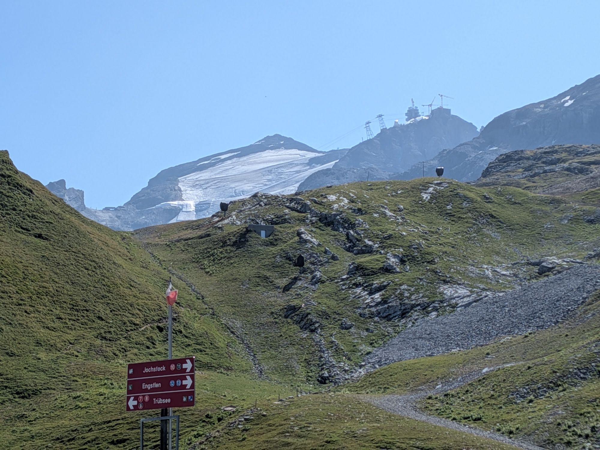
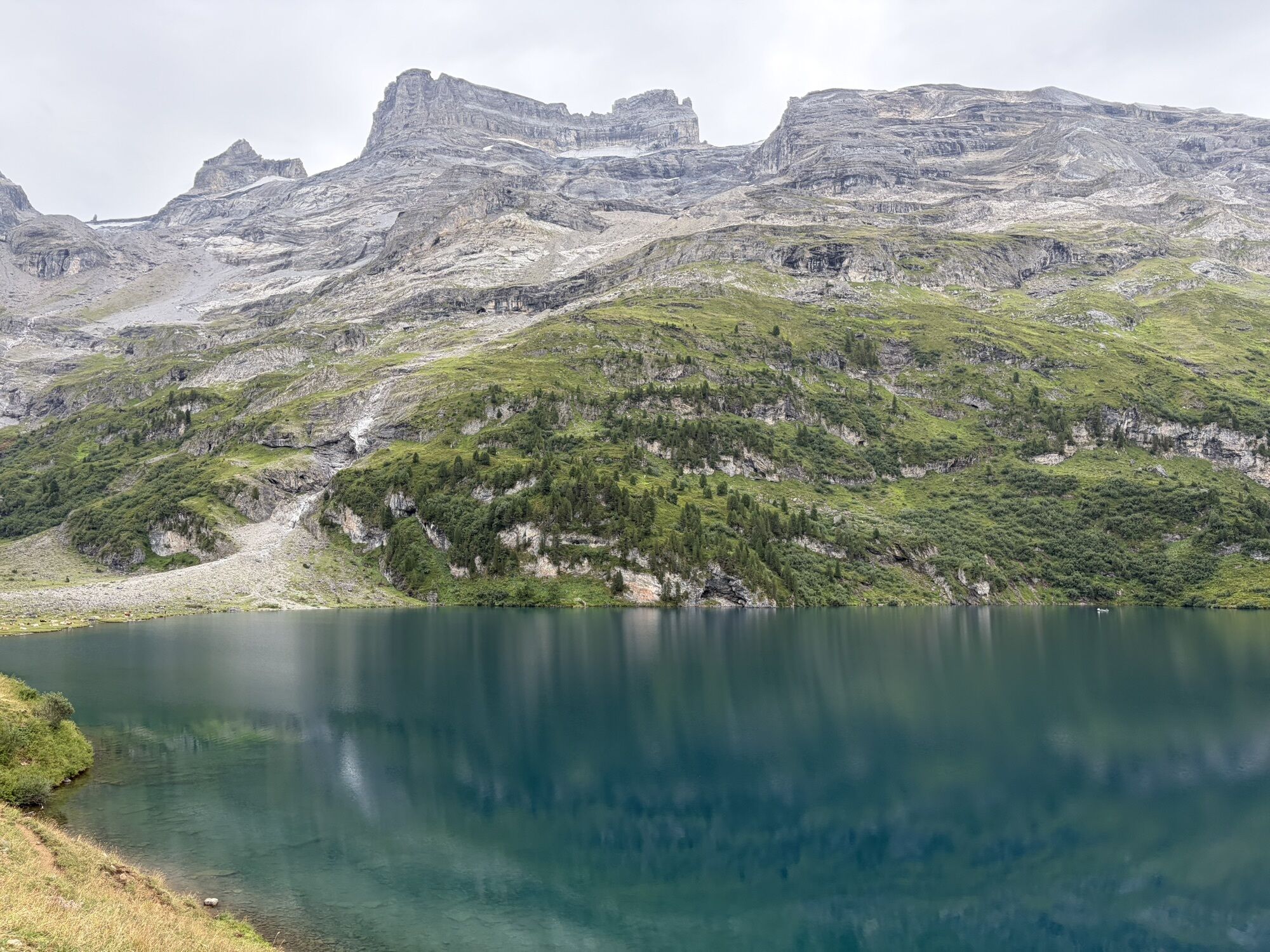
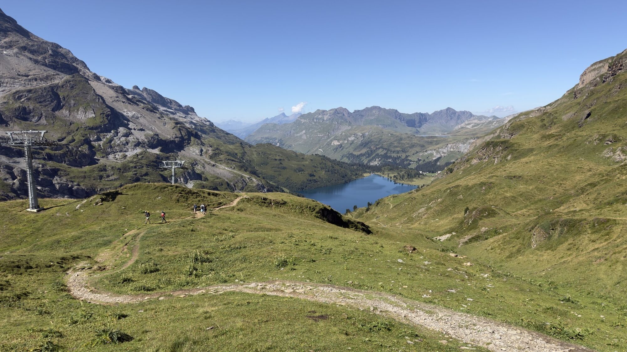
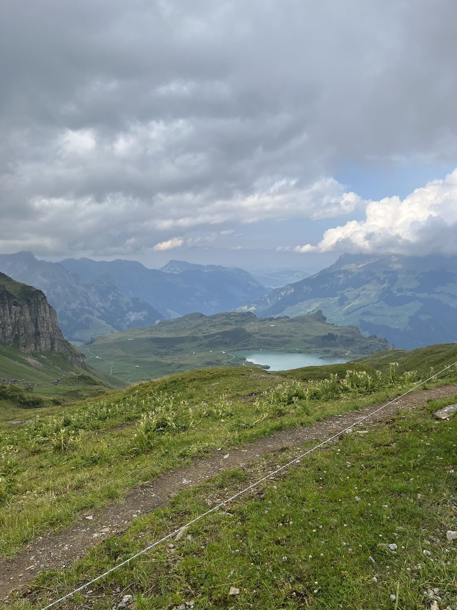
Who is in charge of the upkeep and development of the trails?
Pirmin is the hard-working soul behind the trails. Born and bred in Engelberg, he is the trails warden and president of the Engelberg MTB club....
Who is in charge of the upkeep and development of the trails?
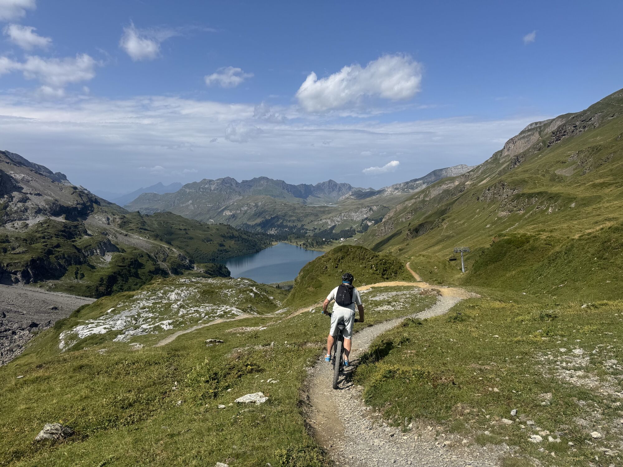
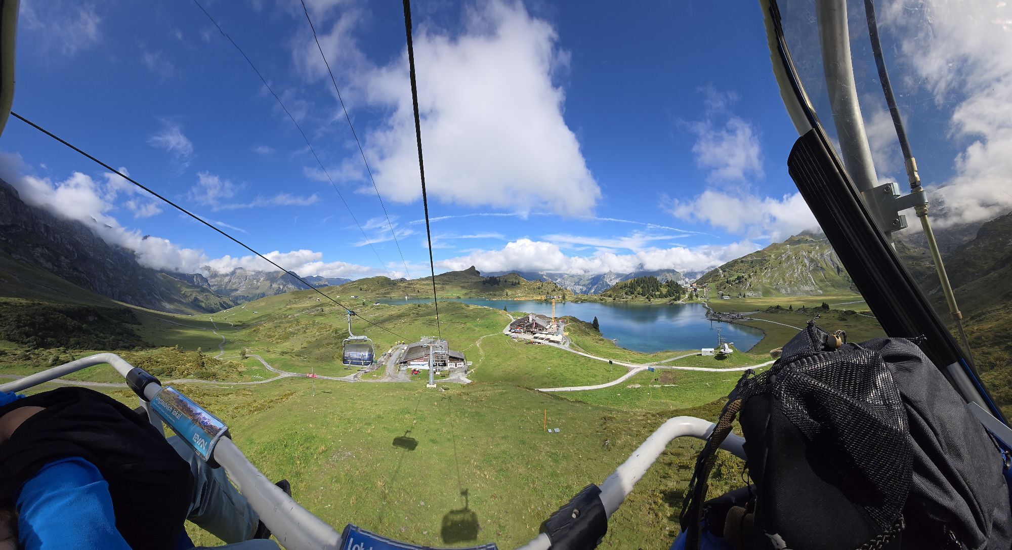
Pirmin is the hard-working soul behind the trails. Born and bred in Engelberg, he is the trails warden and president of the Engelberg MTB club. Weighed down with tools, he makes his way to the start of one of them. He offloads his pickaxe, spade and other tools and hops onto his enduro bike. He personally tests the first section to check whether it meets his high standards. Now and then he stops to examine a problem and make a note. On arrival at the bottom, he takes the chair lift back up and sets about fixing the issues. He then tries the section a few more times at full speed and makes a few more corrections to the trail. His enthusiasm to achieve a perfect MTB experience makes the hours fly by. When he sits down by the side of the trail for a well-earned bite to eat, passing riders thank him for his hard work – that’s when he knows it’s all been worth it.
How did Pirmin get the job of warden?
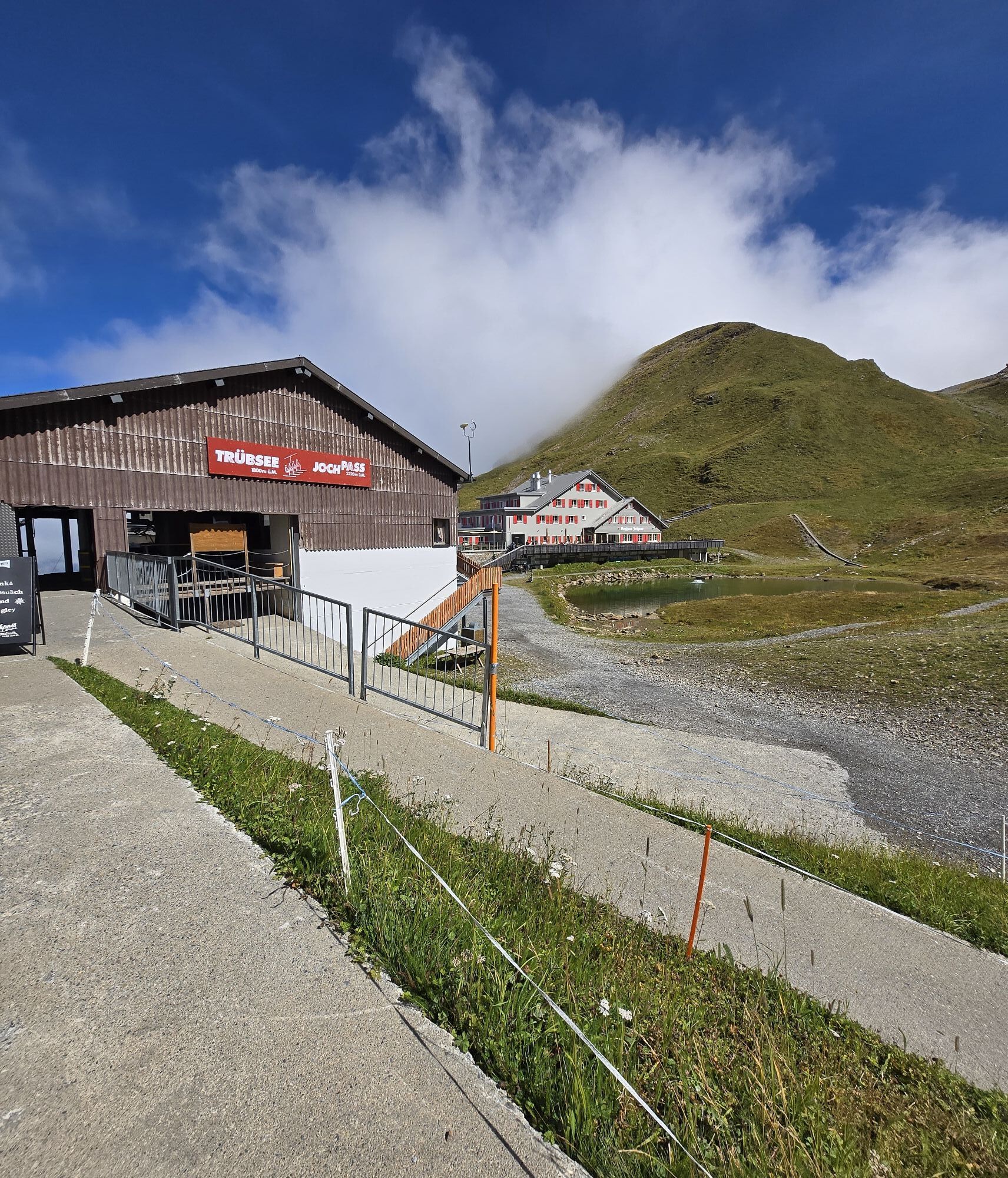
After working as a lift supervisor on the Titlis for one winter season, Pirmin spent the next winter as a patroller in the team supervising the ski runs and rescuing injured skiers. Even then, he was keen to provide visitors with the perfect experience. He has now been with the Titlis aerial cableway company for seven years on a full-time basis. In recent years he has been able to turn his passion into a job in the summer by assuming responsibility for building and maintaining the trails on the Joch Pass. The qualified carpenter spent a lot of his youth in the saddle and knows what it takes to create the ideal MTB trail.

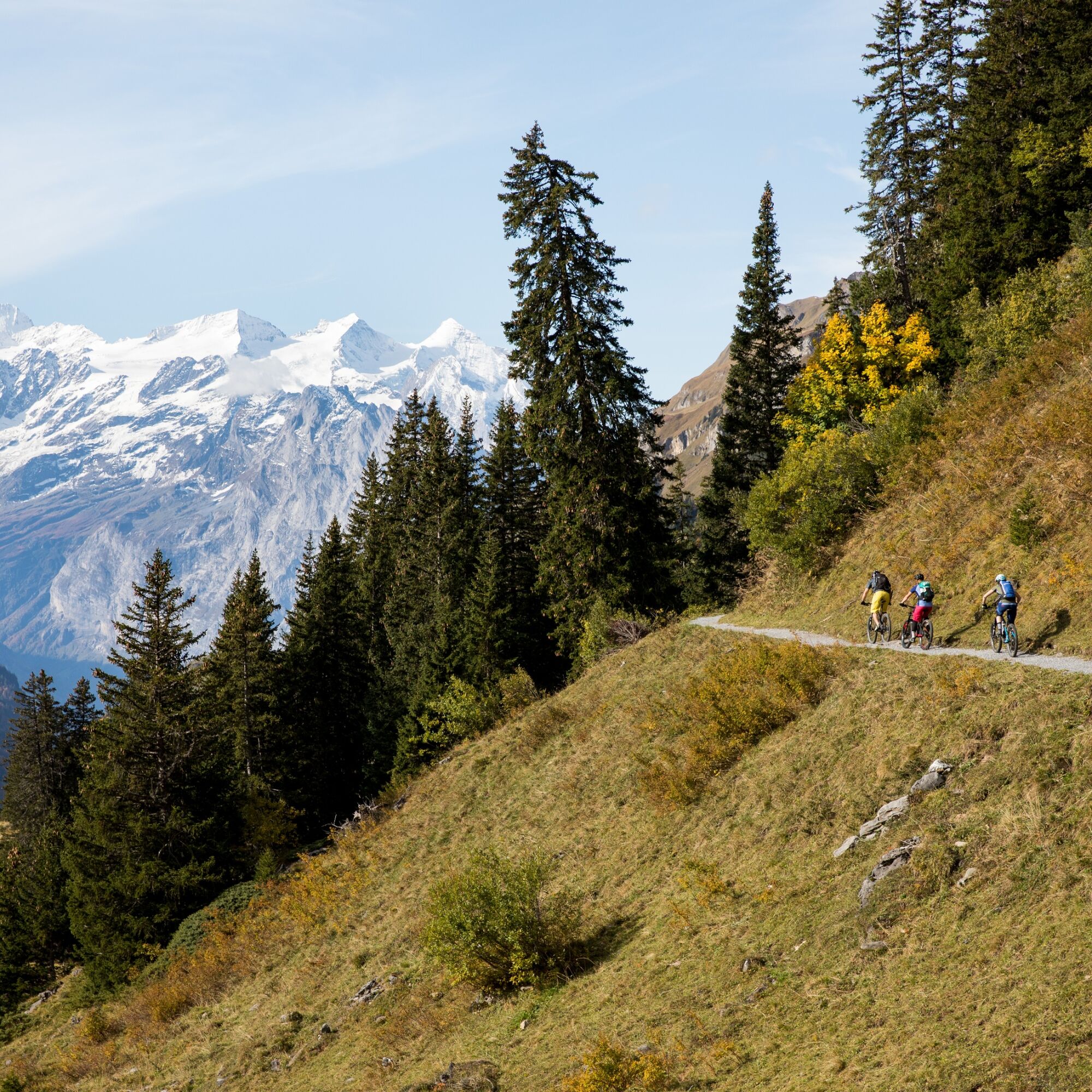
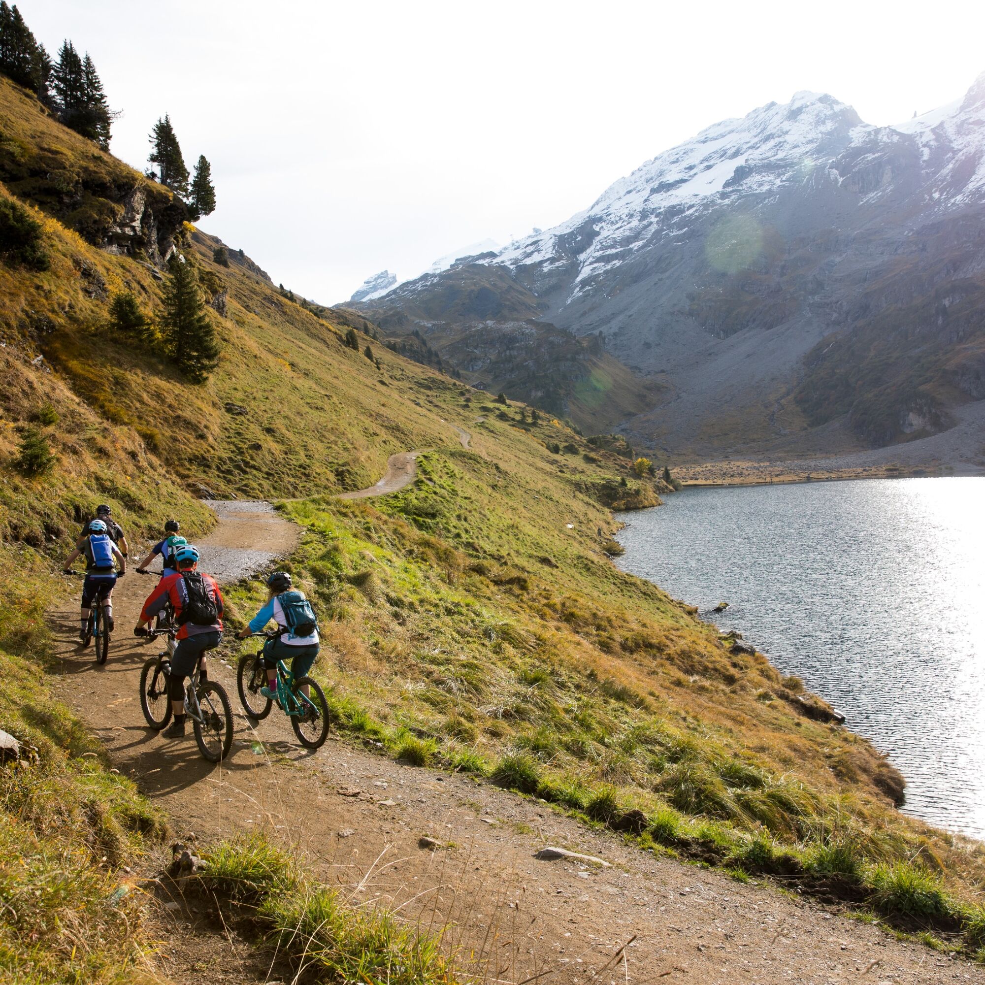
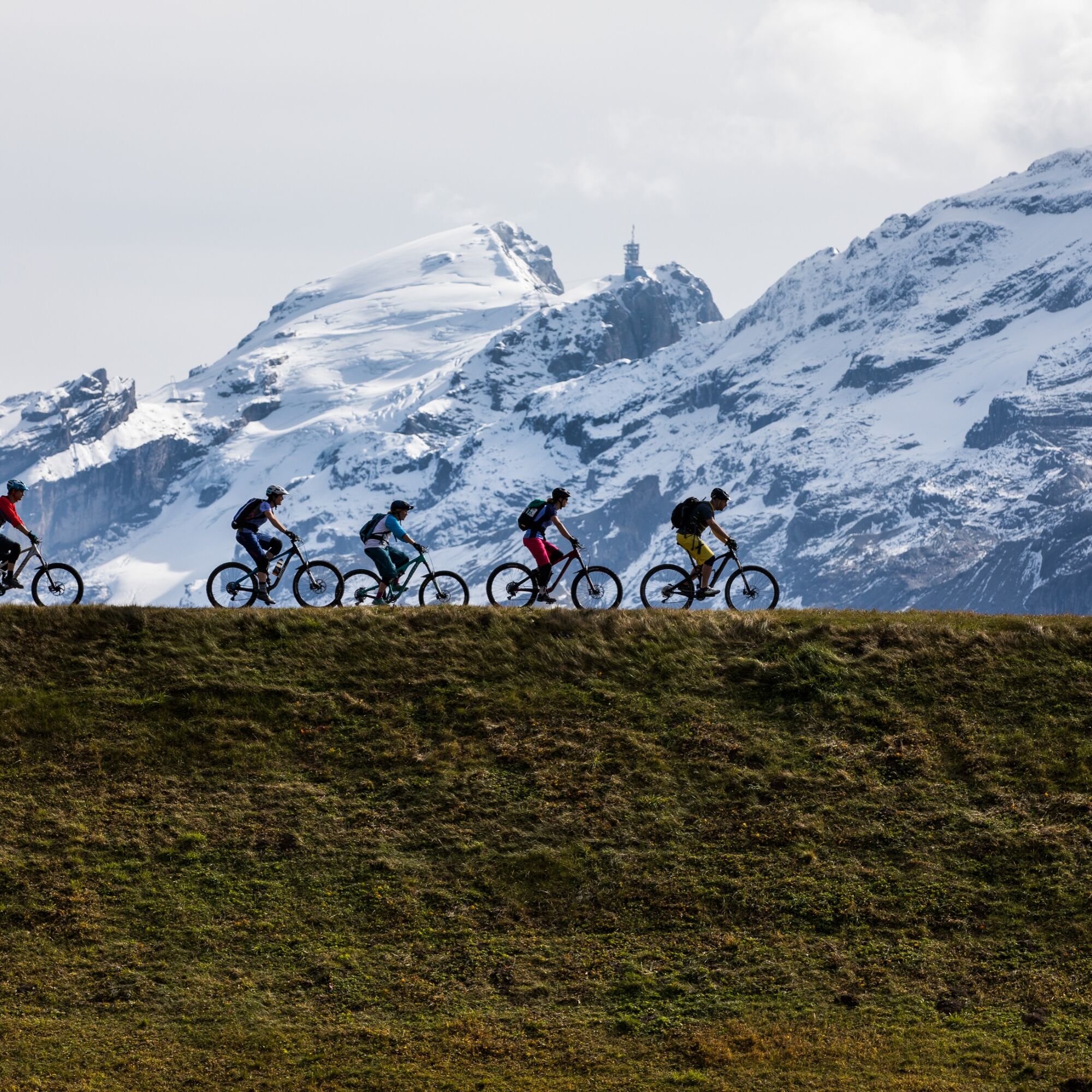
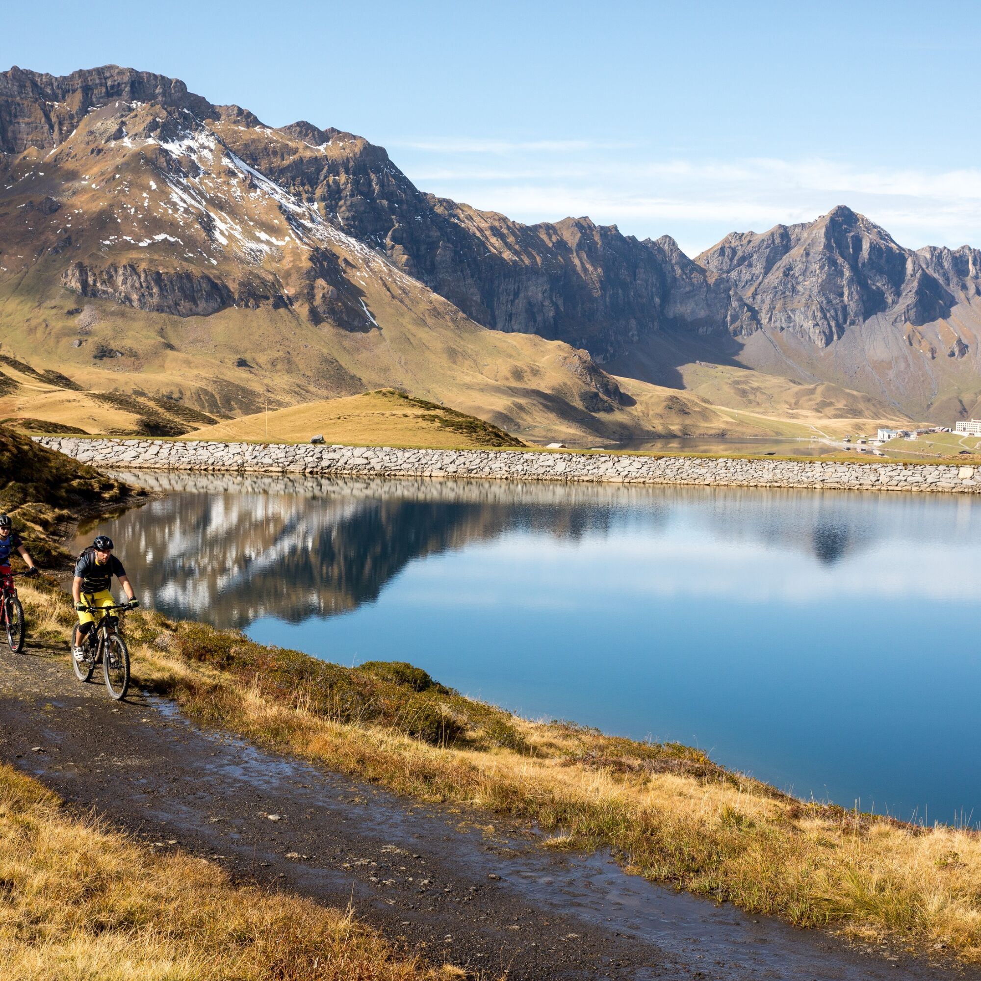

Top 5 MTB trails in Engelberg
Joch Pass Trail Trudy Trail Hells Bells Trail 4 Lakes Tour StäfeliWebové kamery z prehliadky
-
Alpina, Melchsee
-
Käserstatt - Meiringen Hasliberg
-
Panoramarestaurant Alpen Tower
-
Erzegg Talstation
-
Erzegg Bergstation
-
Engelberg Loipe Gerschnialp
-
Skirennzentrum / Tschuggi
-
Bidmi - Mägisalp
-
Gummenalp
-
Bonistock
-
Melchsee Frutt Dorf
-
Mägisalp
-
Tälli
-
Hotel Engstlenalp
-
Hotel Engstlenalp
-
Gadmen
-
Ennetbürgen
-
Stans / Spital Nidwalden
-
Herzog Werft Alpnachstad
-
Engelberg Süd
-
Engelberg Loipe Dorf
-
Engelberg Loipe Schanze
-
Engelberg Golf West
-
Engelberg Grünenwald
-
Engelberg Hotel Bellevue Terminus
-
Engelberg Dorf
-
Engelberg Dorfstrasse
-
Talstation Skilift Klostermatte Engelberg
-
Stanserhorn
-
Jochpass
-
Trübsee
-
Titlis

Obľúbené výlety v okolí
-
4,7
Brunnipfad
svetloTuristika 5,64 km -
4,7
Stanserhorn
svetloTuristika 17,9 km -
5,0
Walenpfad
strednáTuristika 12,2 km -
4,8
Klettersteige Brunnistöckli und Rigidalstock
ťažkéVia ferrata 6 km -
4,8
Melchsee-Frutt - Balmeregghorn - Planplatten - Käserstatt
Turistika 12,4 km -
4,0
Panorama Wanderung Melchsee-Frutt - Abgschütz - Älggialp - Stöckalp
Turistika 17,1 km -
4,3
Rund um den Melchsee
Turistika 3,21 km -
3,0
Vier-Seen-Höhenwanderung im Herzen der Schweiz
strednáTuristika 16,6 km -
5,0
Wanderung Frutt-Bonistock-Tannalp-Frutt
strednáTuristika 11,4 km -
4,0
Panorama-Rundwanderung Melchsee-Frutt - Planplatten - Melchsee-Frutt
Turistika 17,9 km
Turistika a stopovanie


Nenechajte si ujsť ponuky a inšpiráciu na ďalšiu dovolenku
Vaša e-mailová adresa bol pridaný do poštového zoznamu.





