




Navigácia na stránke
Získajte túto prehliadku v mobilnom telefóne
Mapa
Suworow Bike-Route
ťažké
Cyklistika
70,99 km
Naskenujte kód QR a spustite navigáciu v aplikácii bergfex
QR Code
Turistika a stopovanie

Suworow Bike-Route

Vzdialenosť
71,0 km
Trvanie
07:40 h
Ascent
1 826 hm
Hladina mora
453 - 1 551 m
Stiahnutie skladby
Mapa
Suworow Bike-Route
ťažké
Cyklistika
70,99 km

In contrast to today's cyclists, in 1799 the Russian troops could not enjoy the beauty of the Alpine world. In late autumn the 70-year-old General Suworow rushed 20,000 ragged soldiers from Altdorf over...

Opis

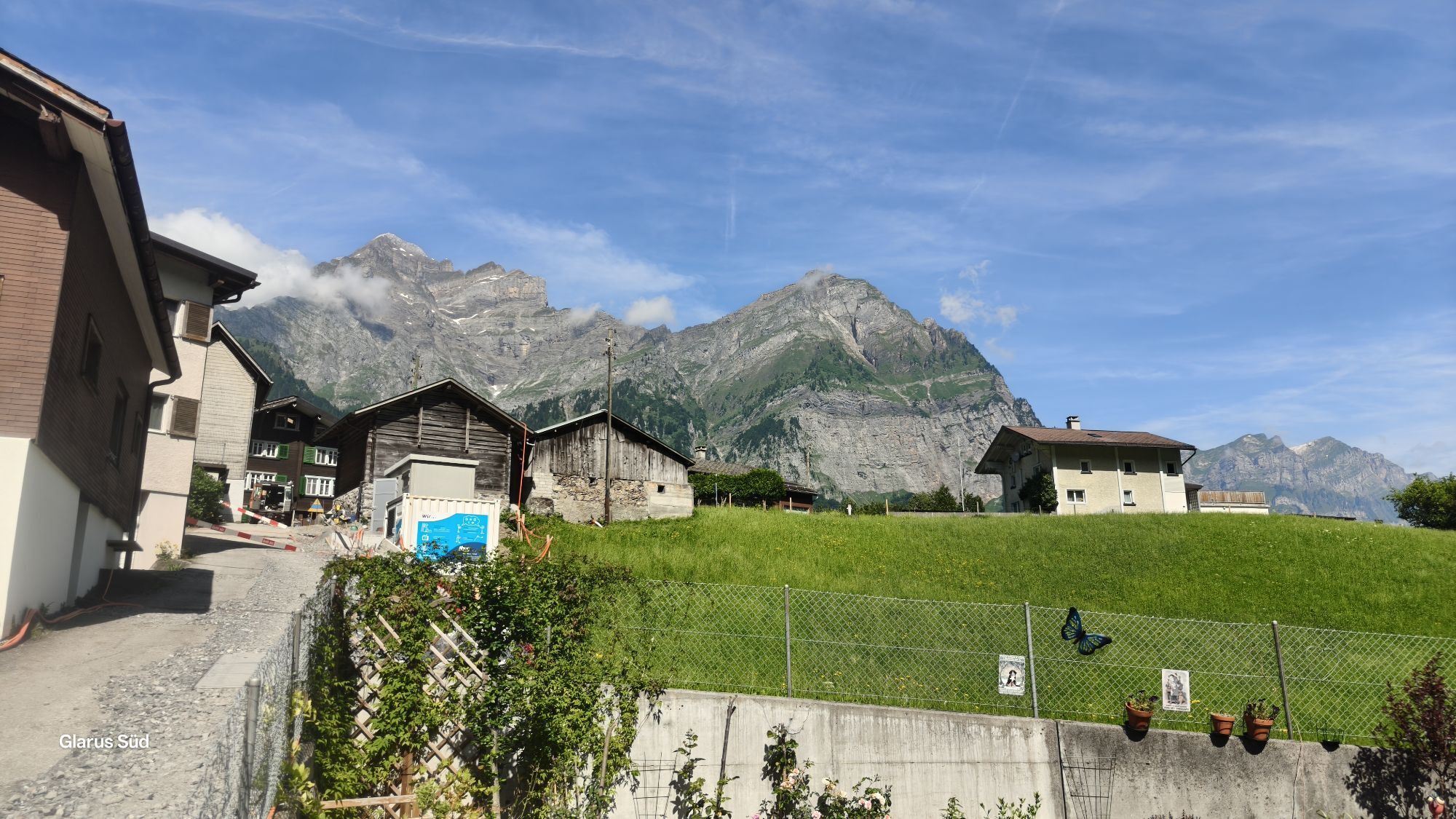
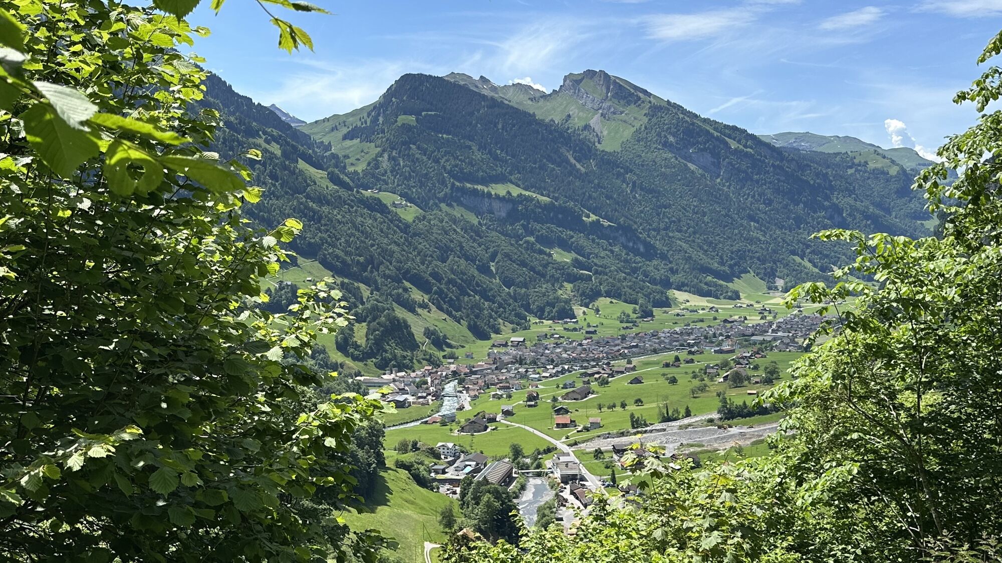
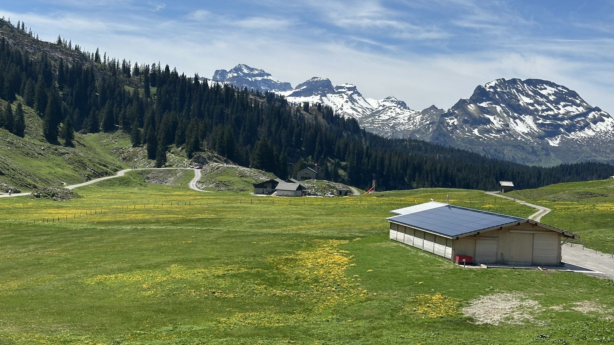
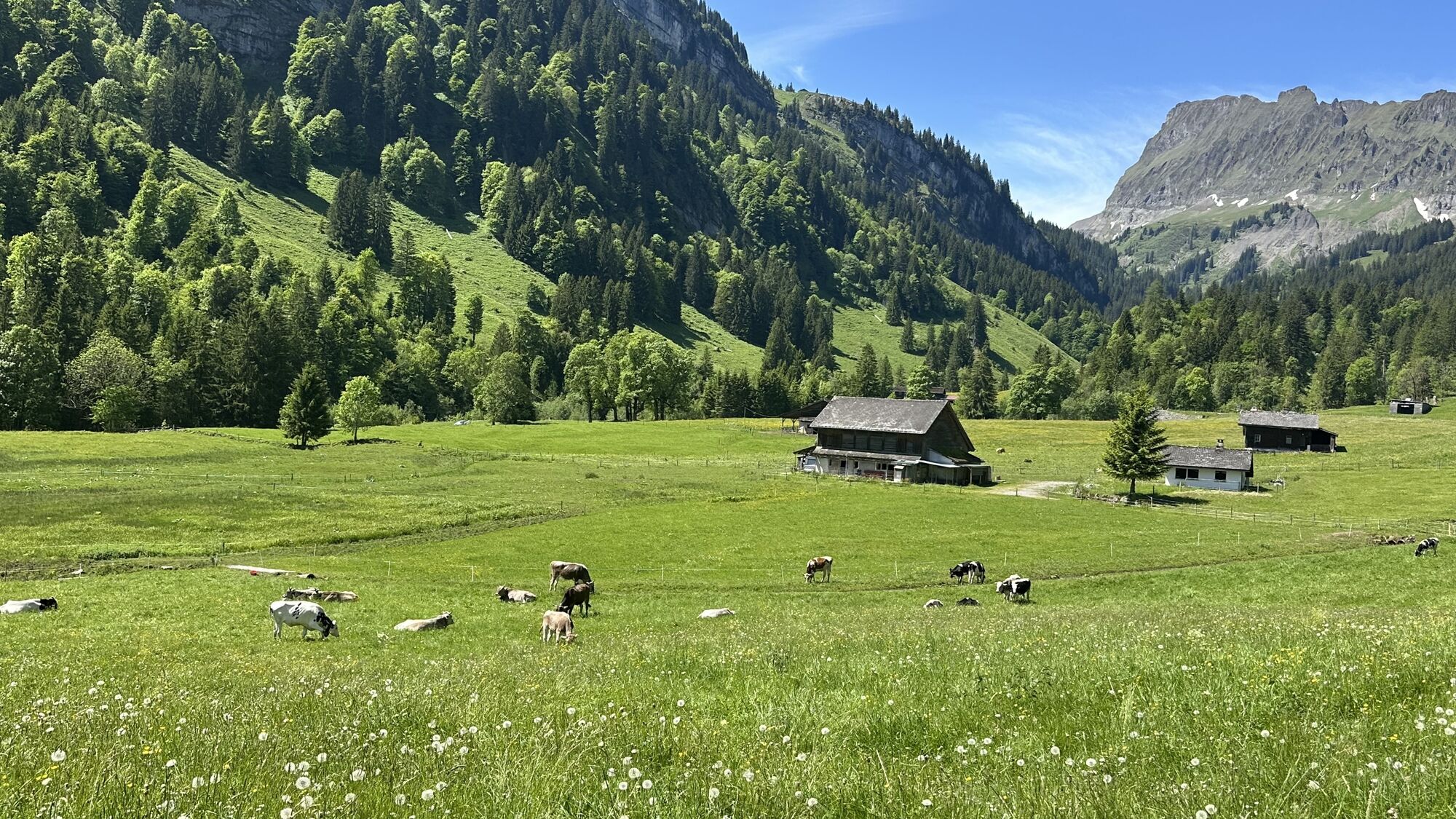
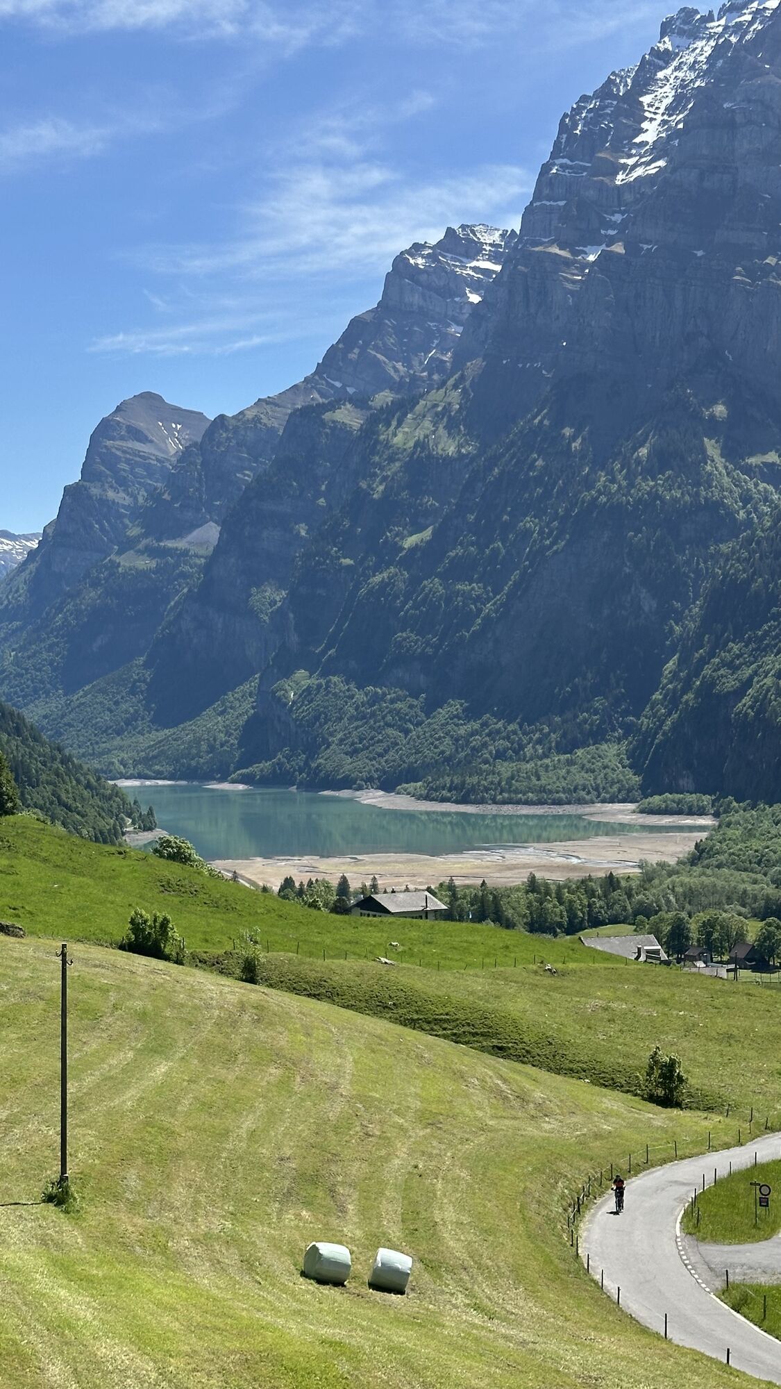
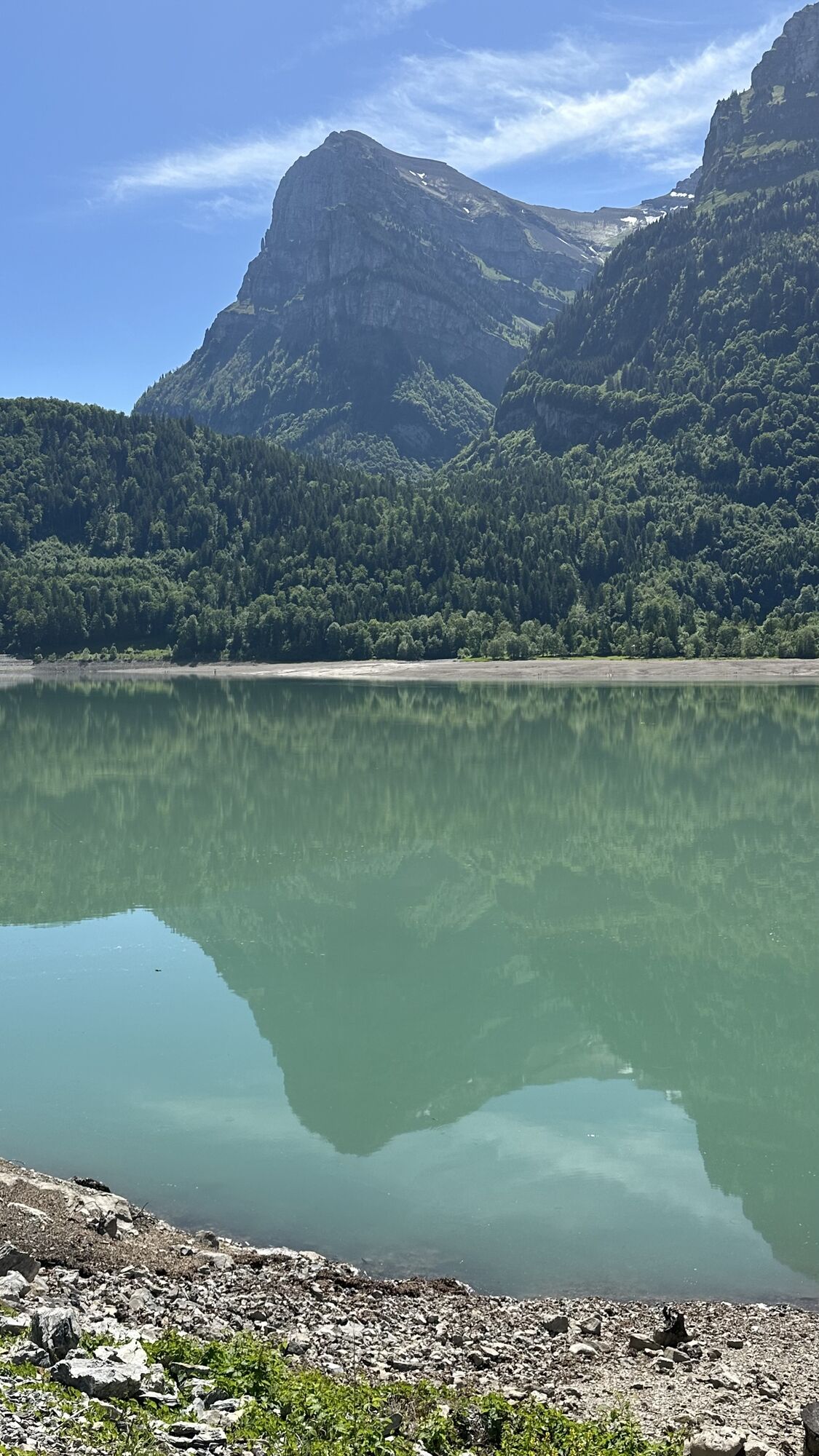
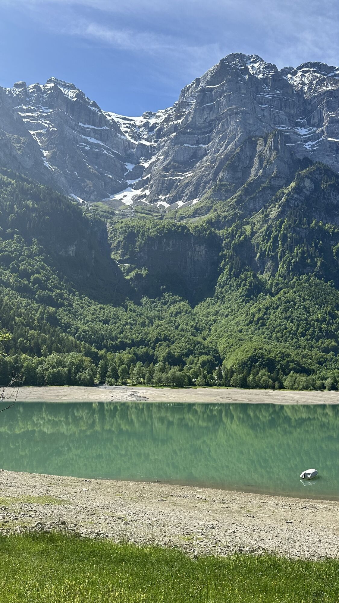
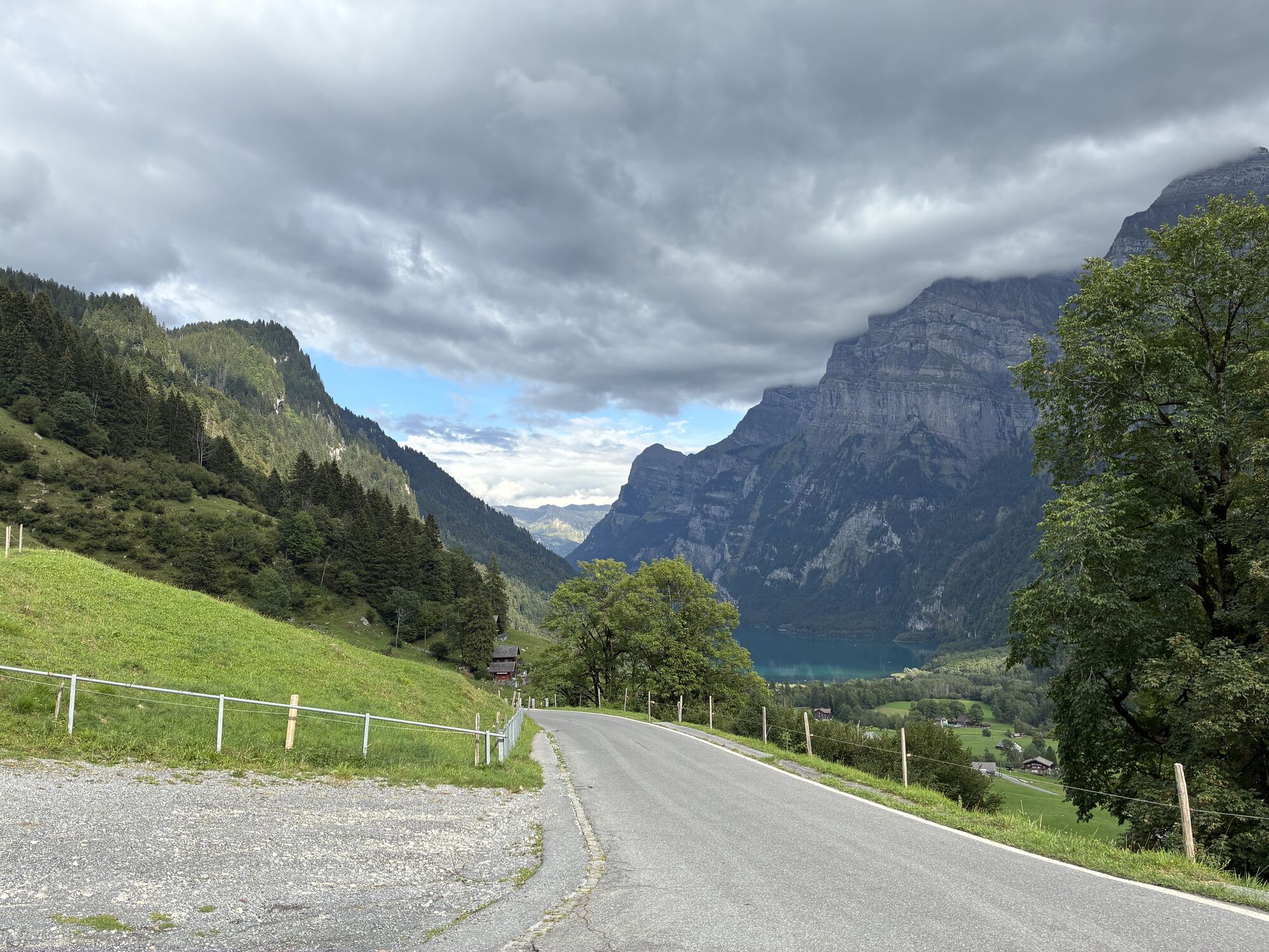
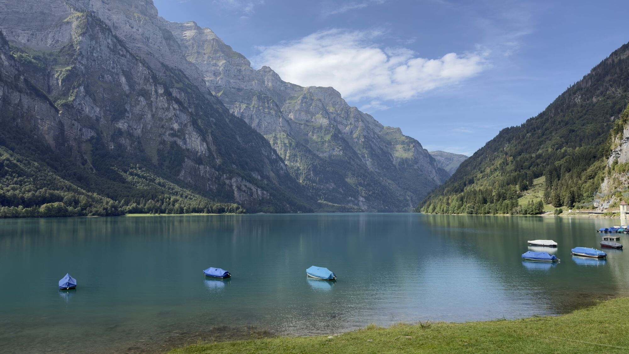
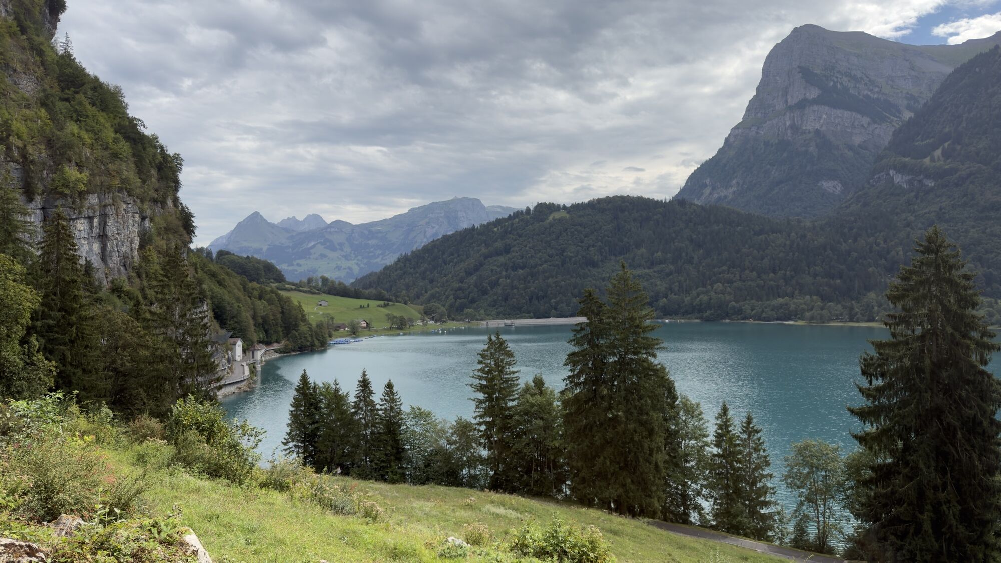
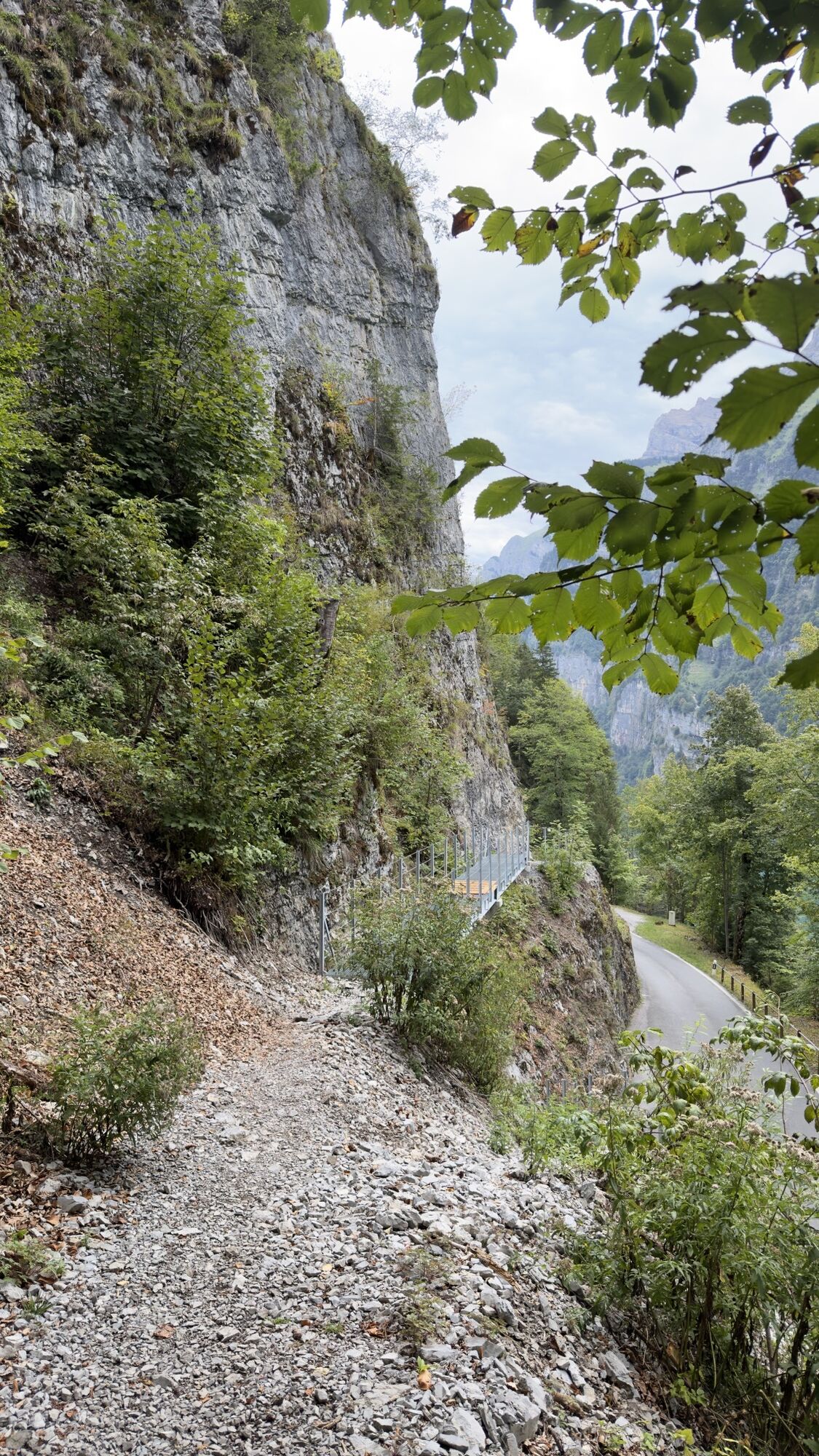
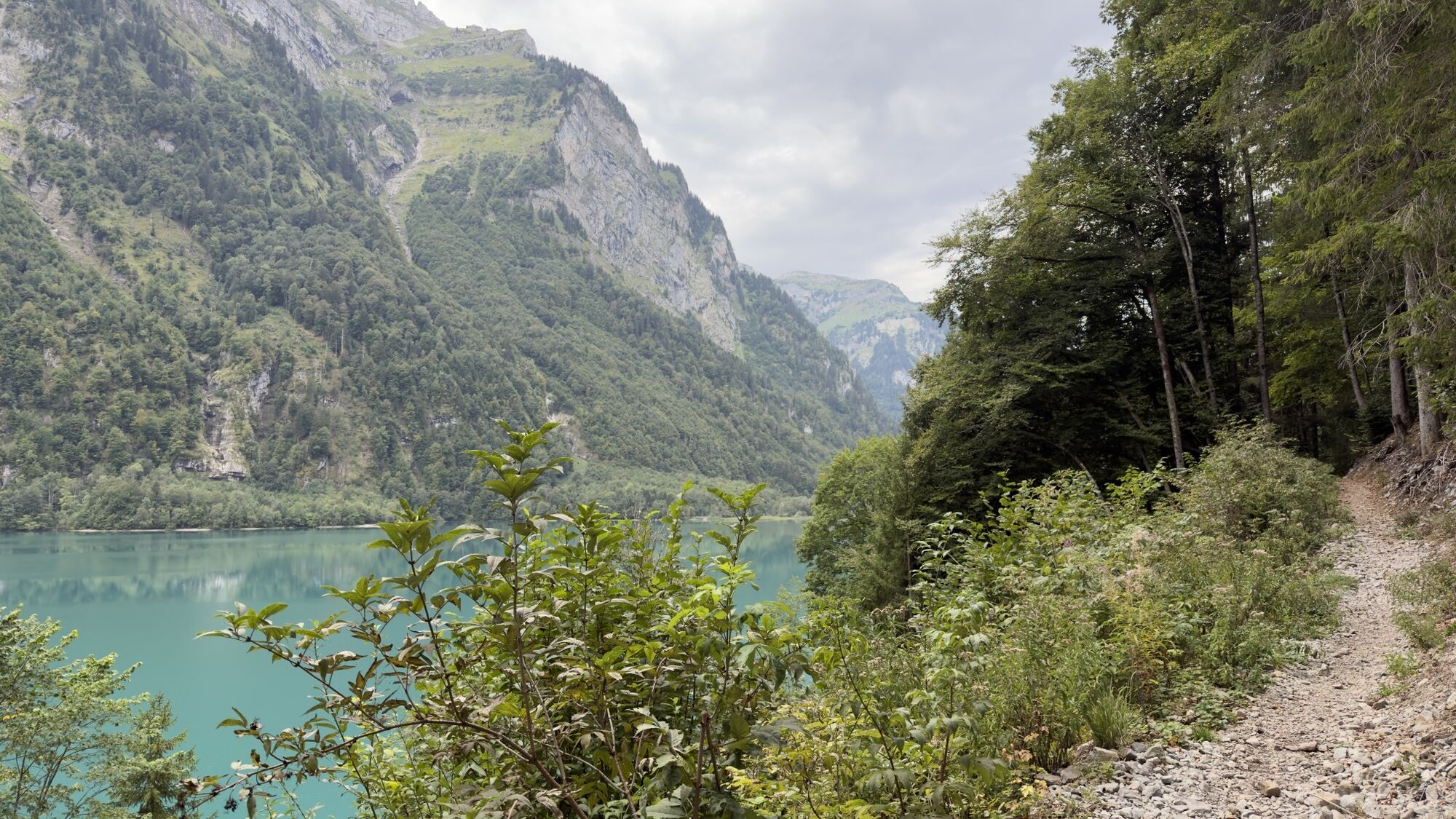
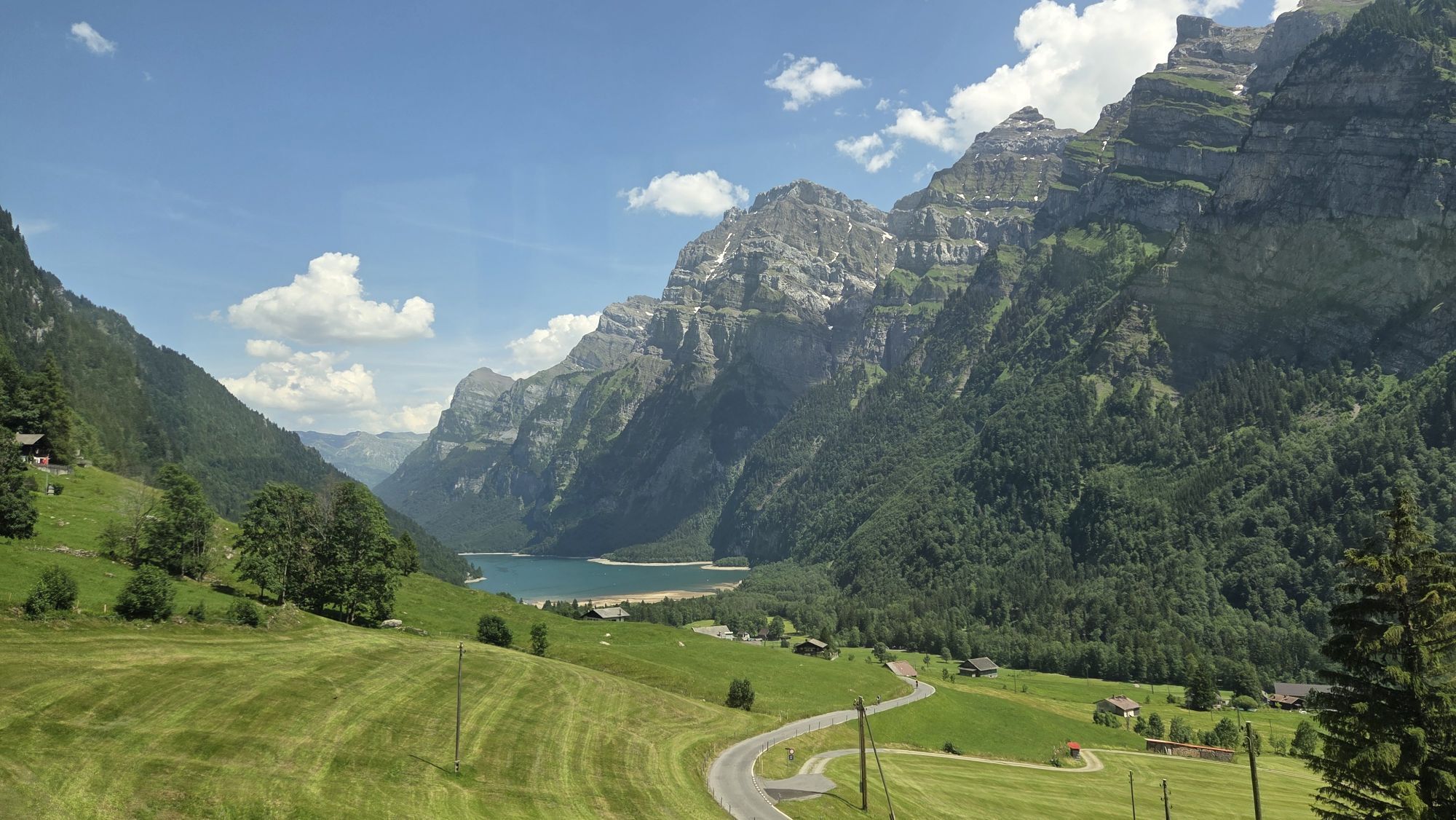
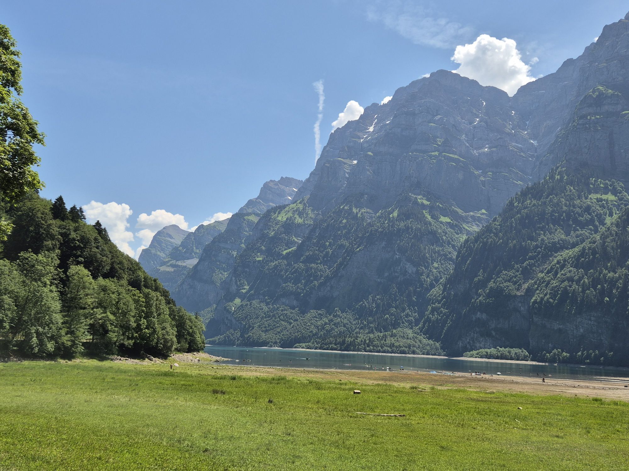
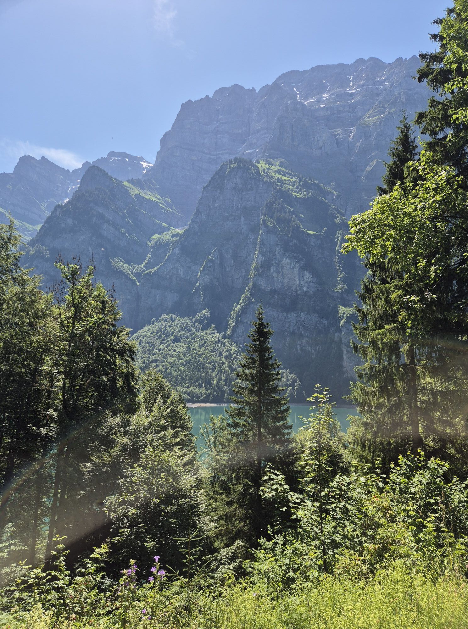
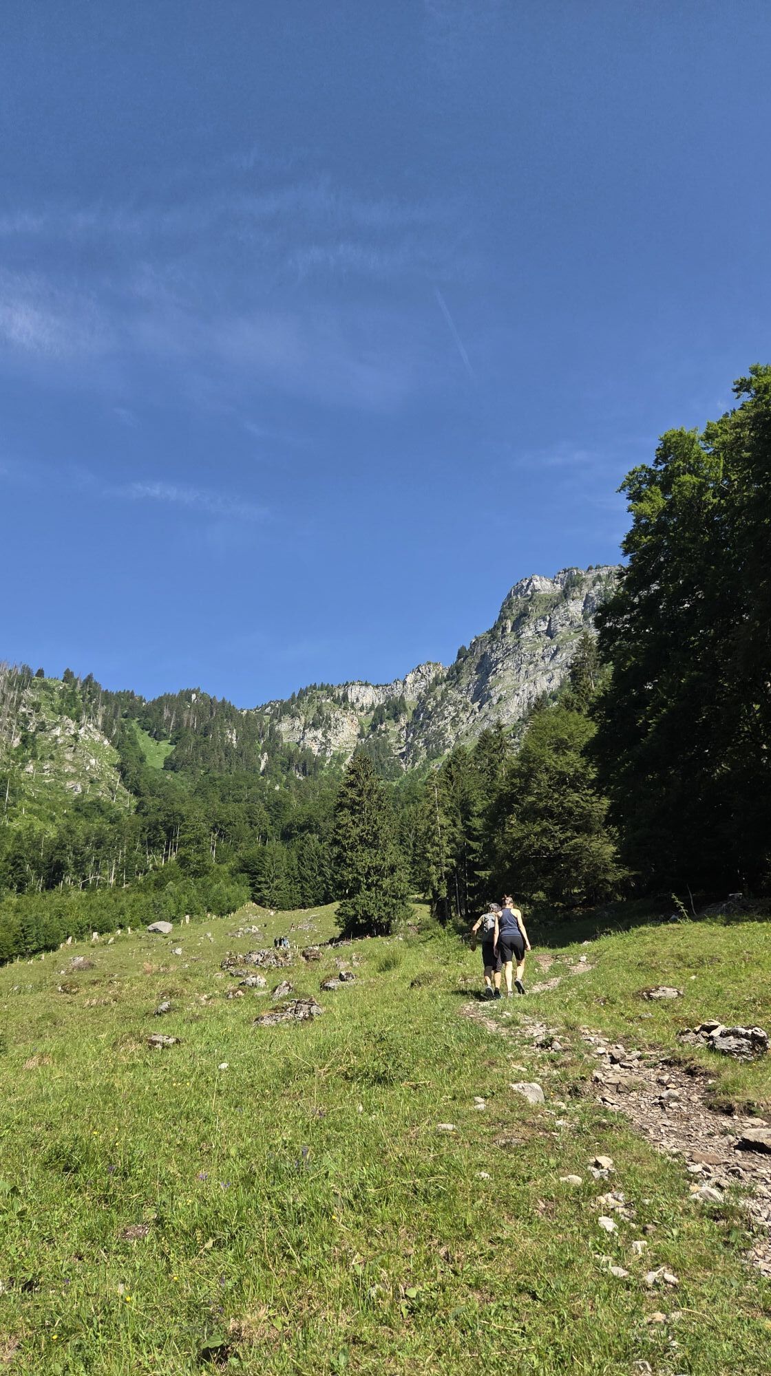
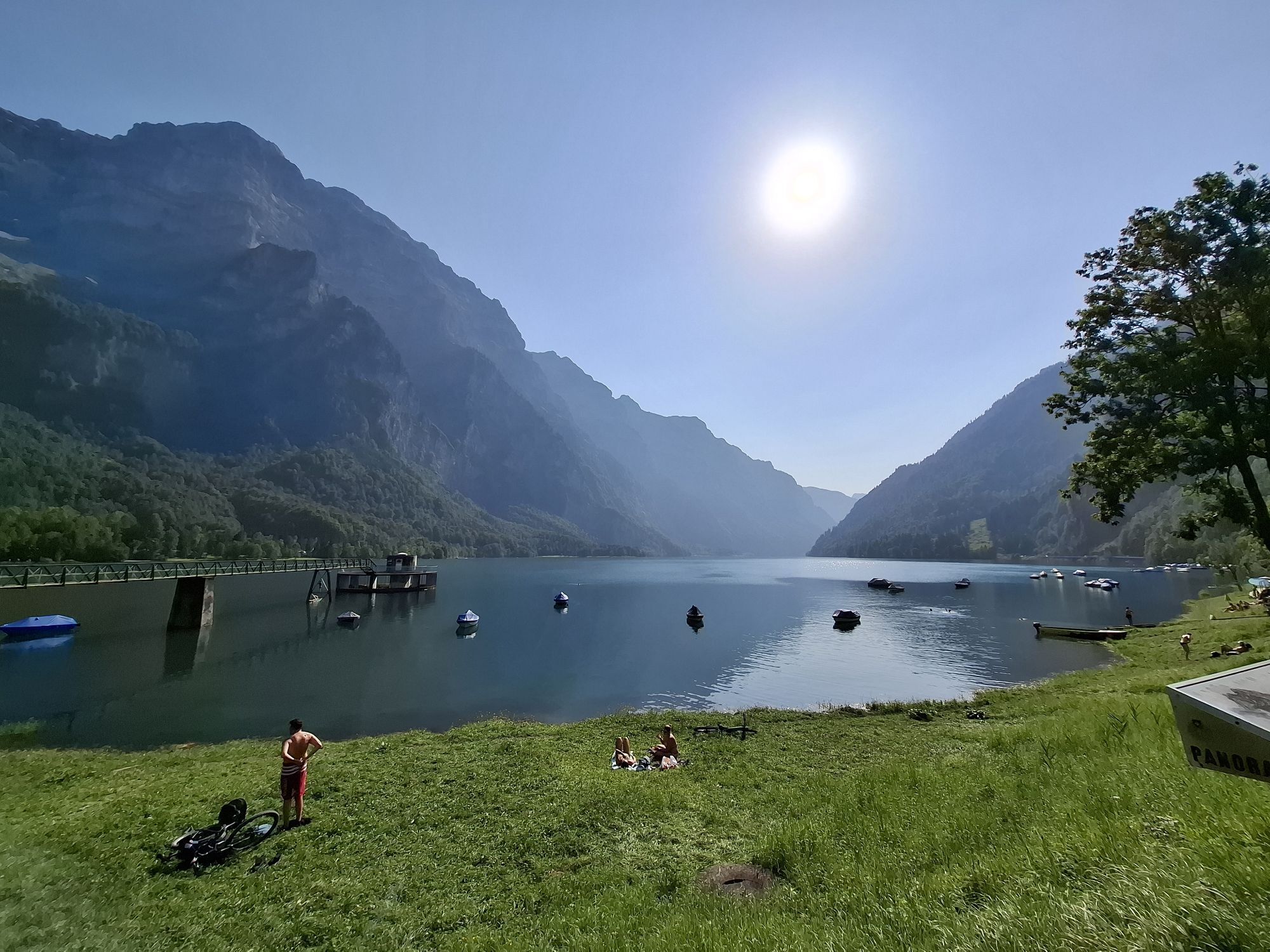
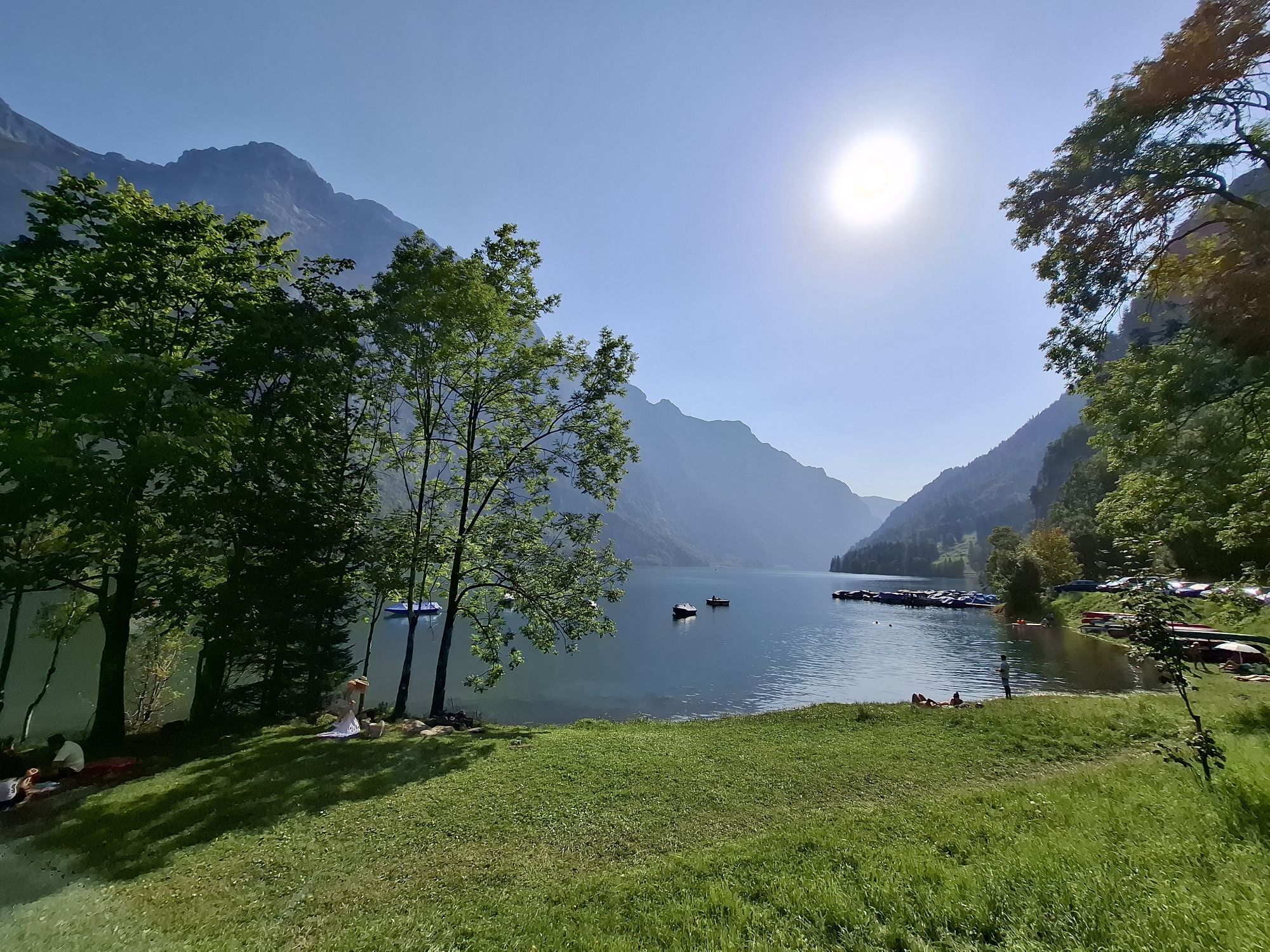
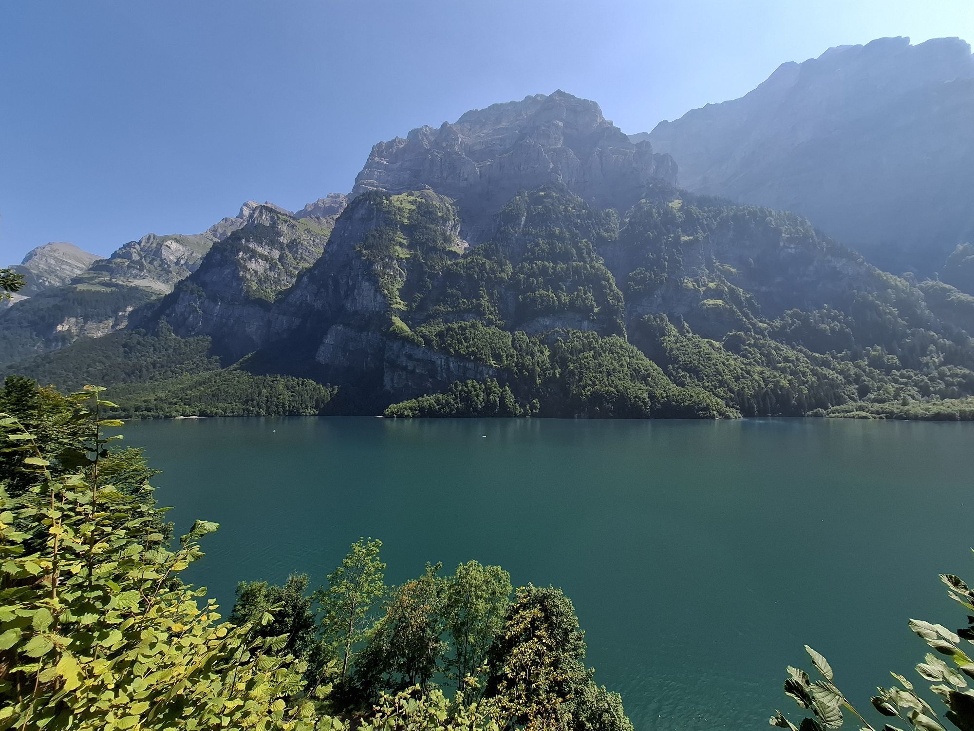
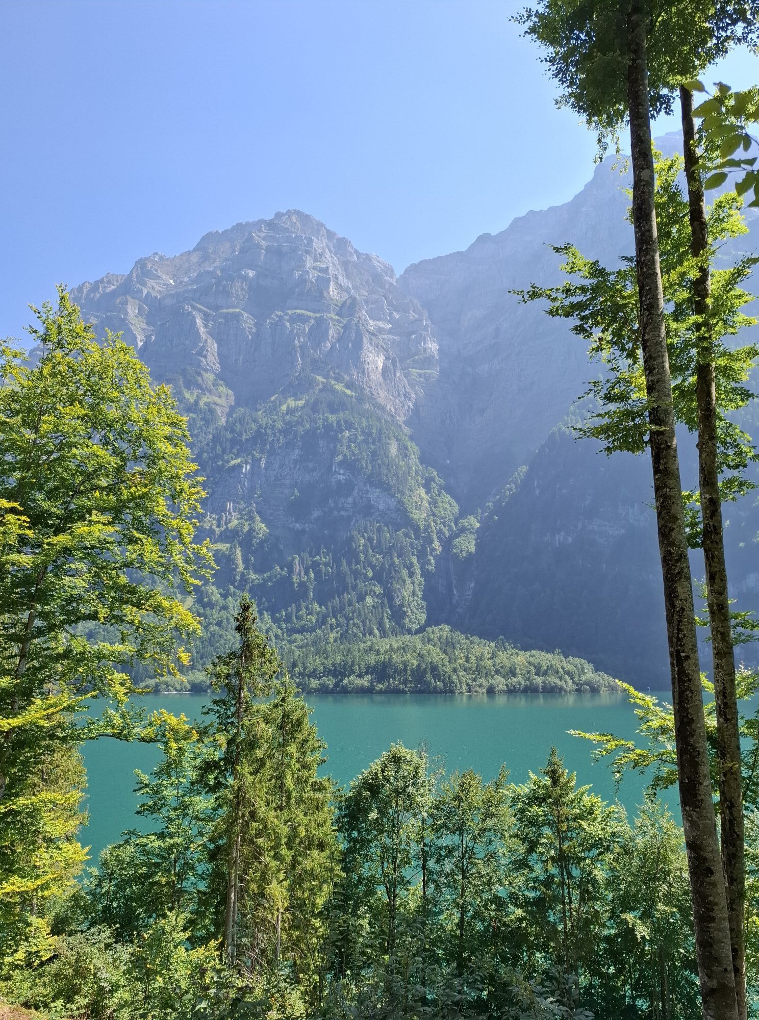
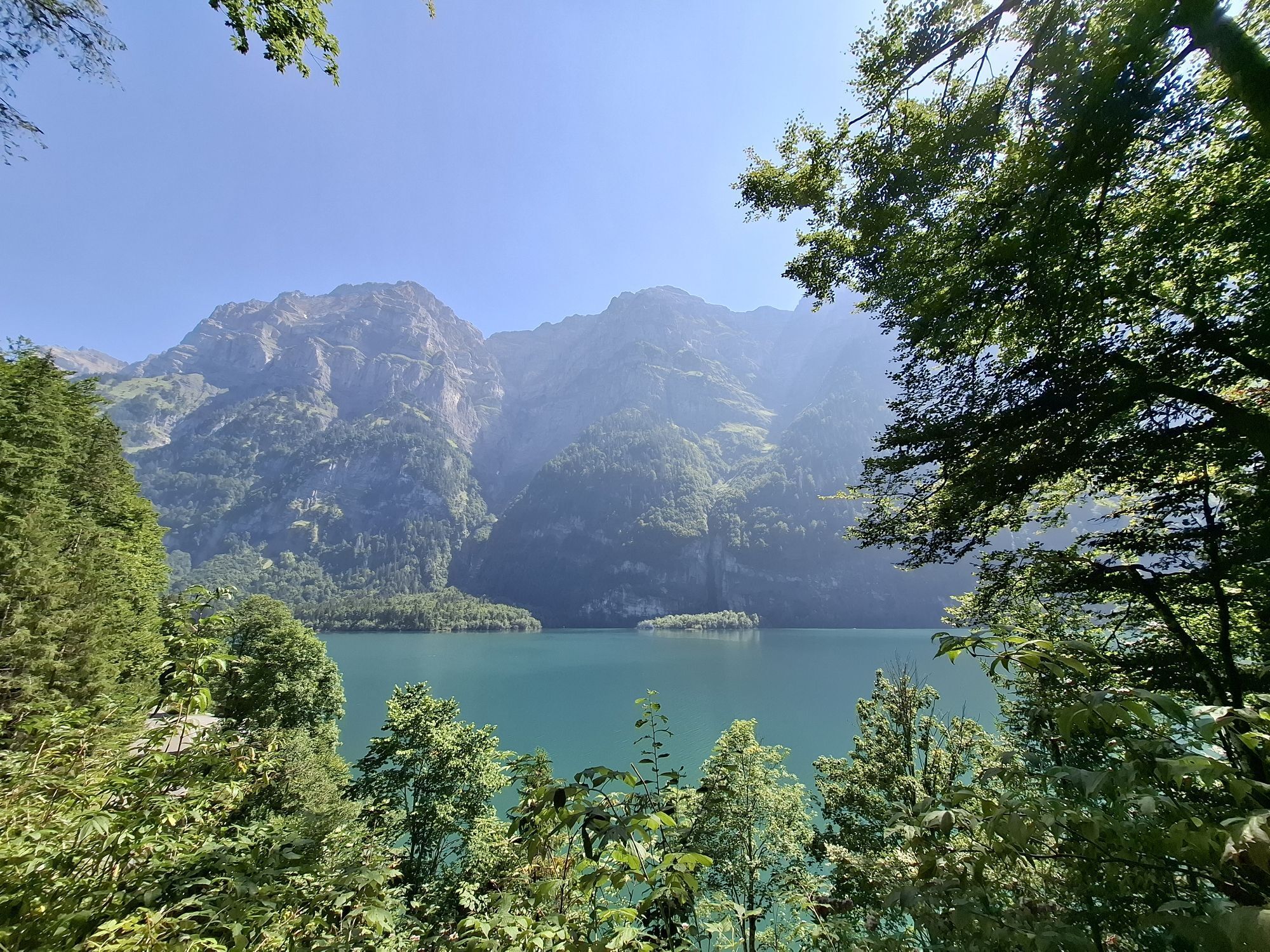
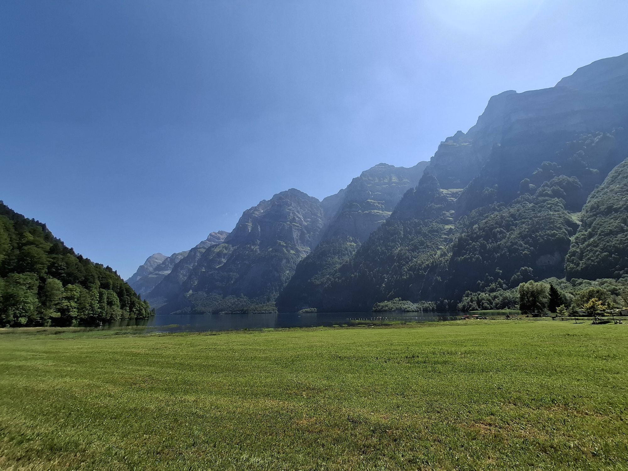
In contrast to today's cyclists, in 1799 the Russian troops could not enjoy the beauty of the Alpine world. In late autumn the 70-year-old General Suworow rushed 20,000 ragged soldiers from Altdorf over the Chinzigpass (2073 m) into the Muota Valley, over the Pragelpass into the Klöntal, through the Sernftal and over the Panixerpass (2400 m) into the Vorderheintal. Thousands froze to death in rain, snow and fog. The 18% steep Pragelpass is still strenuous, but nature is worth it: below the wild Muota, above the bare, furrowed karst landscape of the Silver, the mysterious Bödmeren jungle with falling wood, scrub and ferns, and inside the mountain the Hölloch, a 190 km long cave system. The fjord-like, clear Klöntlalersee lake reflects the Firnkuppe des Glärnisch, the main town of Glarus is the busy centre of the Glarnerland. The early industrialisation of the Linth valley brought Schwanden the first consumer association in Switzerland, the oldest hunting ban area, the "Freiberg Kärpf", has Schwanden since 1548. 40 million years old is the worldwide unique geological alpine overthrust, which lies on the razor-sharp, yellowish edge in the rock faces of the Sernft valley. For centuries, slate was quarried from the mountain for roofs, tables and school blackboards, the latter of which can be seen up close in the slate museum in Elm.

Trasa
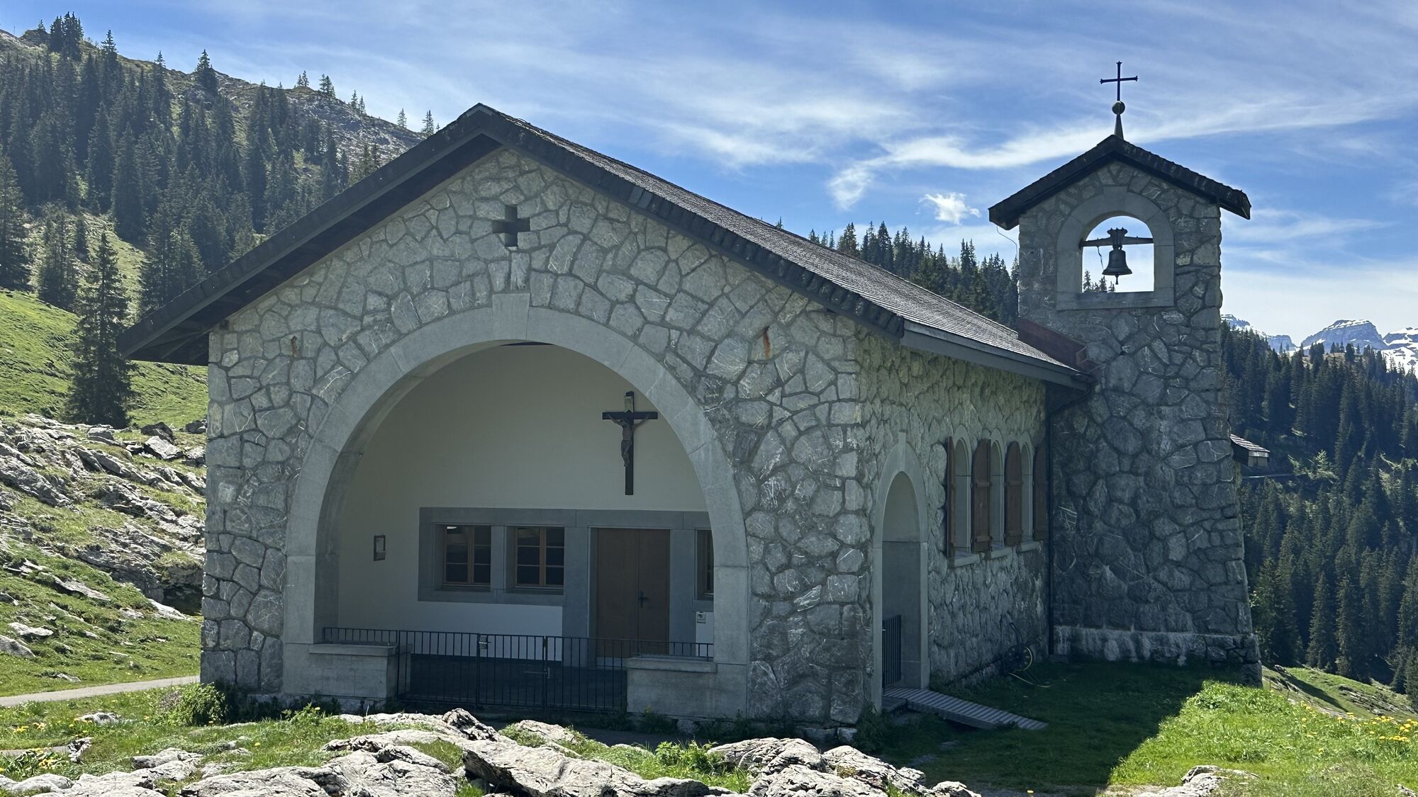
Kapelle Kerchel
(618 m)
Miesto uctievania
13,2 km
Südlich Pragelpass
(1 550 m)
Horské sedlo
26,2 km
Freie Evangelische Gemeinde
(479 m)
Miesto uctievania
49,0 km
Ennenda
(478 m)
Dedina
49,1 km
Reformierte Kirche
(531 m)
Miesto uctievania
55,6 km
Sool
(637 m)
Dedina
57,0 km
Matt
(831 m)
Dedina
66,4 km
Trasa
Mapa
Suworow Bike-Route
ťažké
Cyklistika
70,99 km
Hofmatt
(514 m)
Susedstvo
0,0 km
Lücken
(497 m)
Susedstvo
0,0 km
Schwyz
(516 m)
Mesto
0,1 km
Evangelisch reformierte Kirche
(483 m)
Miesto uctievania
0,5 km
Rubiswil
(473 m)
Susedstvo
0,7 km
St. Antonius
(458 m)
Miesto uctievania
1,1 km
Ibach
(454 m)
Dedina
1,3 km
Spinnerei Indoor Spielplatz
(454 m)
Detské ihrisko
1,7 km
Kapelle St. Katharina
(527 m)
Miesto uctievania
3,1 km
Oberschönenbuch
(541 m)
Zúčtovanie
3,1 km
Fron
(571 m)
Koridor/terén
4,0 km
Stoosbahn (Talstation)
(563 m)
Železničná stanica
6,2 km
Restaurant Adler
(573 m)
Reštaurácia
9,0 km
Ried (Muotathal)
(571 m)
Zúčtovanie
9,1 km
Fluhhof
(581 m)
Reštaurácia
10,0 km
Kapelle Kerchel
(618 m)
Miesto uctievania
13,2 km
Gasthaus Hirschen
(624 m)
Reštaurácia
13,3 km
Katholische Pfarrkirche St. Sigismund und Walpurga
(627 m)
Miesto uctievania
13,4 km
Muotathal
(617 m)
Dedina
13,9 km
Stalden
(663 m)
Dedina
15,3 km
Gasthaus Hölloch
(664 m)
Reštaurácia
15,4 km
Hölloch
(735 m)
Vchod do jaskyne
16,1 km
Alpwirtschaft Roggenloch
(1 529 m)
Úkryt
24,4 km
Unterroggenloch
(1 531 m)
Koridor/terén
24,5 km
Südlich Pragelpass
(1 550 m)
Horské sedlo
26,2 km
Gampel
(1 132 m)
Koridor/terén
32,3 km
Gasthaus Richisau
(1 103 m)
Reštaurácia
33,4 km
I de Berge
(1 008 m)
Koridor/terén
34,5 km
Vorauen
(852 m)
Zúčtovanie
36,5 km
Riettürli
(855 m)
Koridor/terén
37,9 km
Rhodannenberg
(854 m)
Reštaurácia
41,6 km
Chilchenwald
(826 m)
Koridor/terén
42,3 km
Fulenchopf
(725 m)
Koridor/terén
43,4 km
Quelle Löntschbord
(683 m)
Zdroj
43,6 km
Löntschtobel
(637 m)
Koridor/terén
44,4 km
Bützi
(638 m)
Koridor/terén
44,7 km
Staldengarten
(606 m)
Reštaurácia
45,0 km
Stalden
(618 m)
Koridor/terén
45,1 km
Auli
(569 m)
Susedstvo
45,4 km
Riedern
(529 m)
Dedina
46,0 km
Tretschen
(523 m)
Koridor/terén
46,4 km
Spielplatz Zweistäglistrasse
(515 m)
Detské ihrisko
46,5 km
Lurigen
(509 m)
Susedstvo
46,7 km
Höchi
(500 m)
Susedstvo
47,1 km
Lambda Zen Tempel
(498 m)
Miesto uctievania
47,2 km
Glarus
(474 m)
Mesto
47,6 km
Glarus
(472 m)
Železničná stanica
48,3 km
Freie Evangelische Gemeinde
(479 m)
Miesto uctievania
49,0 km
Ennenda
(478 m)
Dedina
49,1 km
Holenstein
(479 m)
Susedstvo
49,3 km
Bleichi
(485 m)
Koridor/terén
49,8 km
Mülifuer
(485 m)
Koridor/terén
50,2 km
Linthboden
(491 m)
Koridor/terén
50,7 km
Aueli
(494 m)
Koridor/terén
51,0 km
Unterer Boden
(495 m)
Koridor/terén
51,5 km
Längrüti
(505 m)
Koridor/terén
51,6 km
Nügaden
(514 m)
Susedstvo
51,8 km
Mitlödi
(504 m)
Dedina
51,9 km
Hübschächerli
(609 m)
Koridor/terén
52,9 km
Schlossbüchel
(677 m)
Koridor/terén
53,3 km
Rüfeli
(761 m)
Koridor/terén
53,9 km
Stalden
(524 m)
Koridor/terén
54,1 km
Rossberg
(599 m)
Koridor/terén
54,2 km
Gerberguet
(633 m)
Susedstvo
54,3 km
Loch
(629 m)
Koridor/terén
54,4 km
Hoschetli
(626 m)
Koridor/terén
54,5 km
Büel
(648 m)
Koridor/terén
54,6 km
Schwanden
(521 m)
Dedina
55,5 km
Abläsch
(526 m)
Koridor/terén
55,5 km
Reformierte Kirche
(531 m)
Miesto uctievania
55,6 km
Hinterdorf
(527 m)
Koridor/terén
55,6 km
Plattenau
(523 m)
Susedstvo
56,0 km
Wiberg
(578 m)
Koridor/terén
56,4 km
Hochwart
(592 m)
Koridor/terén
56,5 km
Herren
(540 m)
Susedstvo
56,6 km
Wüschi
(601 m)
Koridor/terén
56,6 km
Untersool
(607 m)
Susedstvo
56,9 km
Obersool
(635 m)
Koridor/terén
57,0 km
Sool
(637 m)
Dedina
57,0 km
Adler
(636 m)
Reštaurácia
57,1 km
Hoschet
(635 m)
Koridor/terén
57,1 km
Tinigüetli
(639 m)
Koridor/terén
57,4 km
Eggli
(672 m)
Koridor/terén
57,4 km
Weid
(704 m)
Koridor/terén
58,0 km
Brugghöfli
(743 m)
Koridor/terén
61,9 km
Wijer
(771 m)
Koridor/terén
62,8 km
Gasthaus zum Bahnhof
(771 m)
Reštaurácia
62,8 km
Engi
(812 m)
Dedina
63,4 km
Chalchofen
(796 m)
Koridor/terén
63,7 km
Strass
(795 m)
Koridor/terén
63,8 km
Brämenhoschet
(793 m)
Koridor/terén
64,2 km
Gasthaus Sonne
(803 m)
Reštaurácia
64,3 km
Müli
(798 m)
Koridor/terén
64,5 km
Tschachen
(802 m)
Koridor/terén
64,7 km
Rütiweidli
(819 m)
Koridor/terén
64,8 km
Unter Sand
(815 m)
Koridor/terén
65,7 km
Ober Sand
(821 m)
Koridor/terén
66,0 km
Weid
(823 m)
Koridor/terén
66,1 km
Trämligen
(840 m)
Koridor/terén
66,3 km
Matt
(831 m)
Dedina
66,4 km
Wisshus
(839 m)
Koridor/terén
66,6 km
Steg-Guet
(847 m)
Koridor/terén
67,0 km
Schwändiweid
(939 m)
Koridor/terén
69,8 km
Schwändi
(944 m)
Zúčtovanie
69,8 km
Müsli
(949 m)
Koridor/terén
69,9 km
Elm
(977 m)
Dedina
70,8 km
Dörfli
(967 m)
Koridor/terén
70,9 km
Gasthaus Sonne
(969 m)
Reštaurácia
70,9 km
Informácie o prehliadke

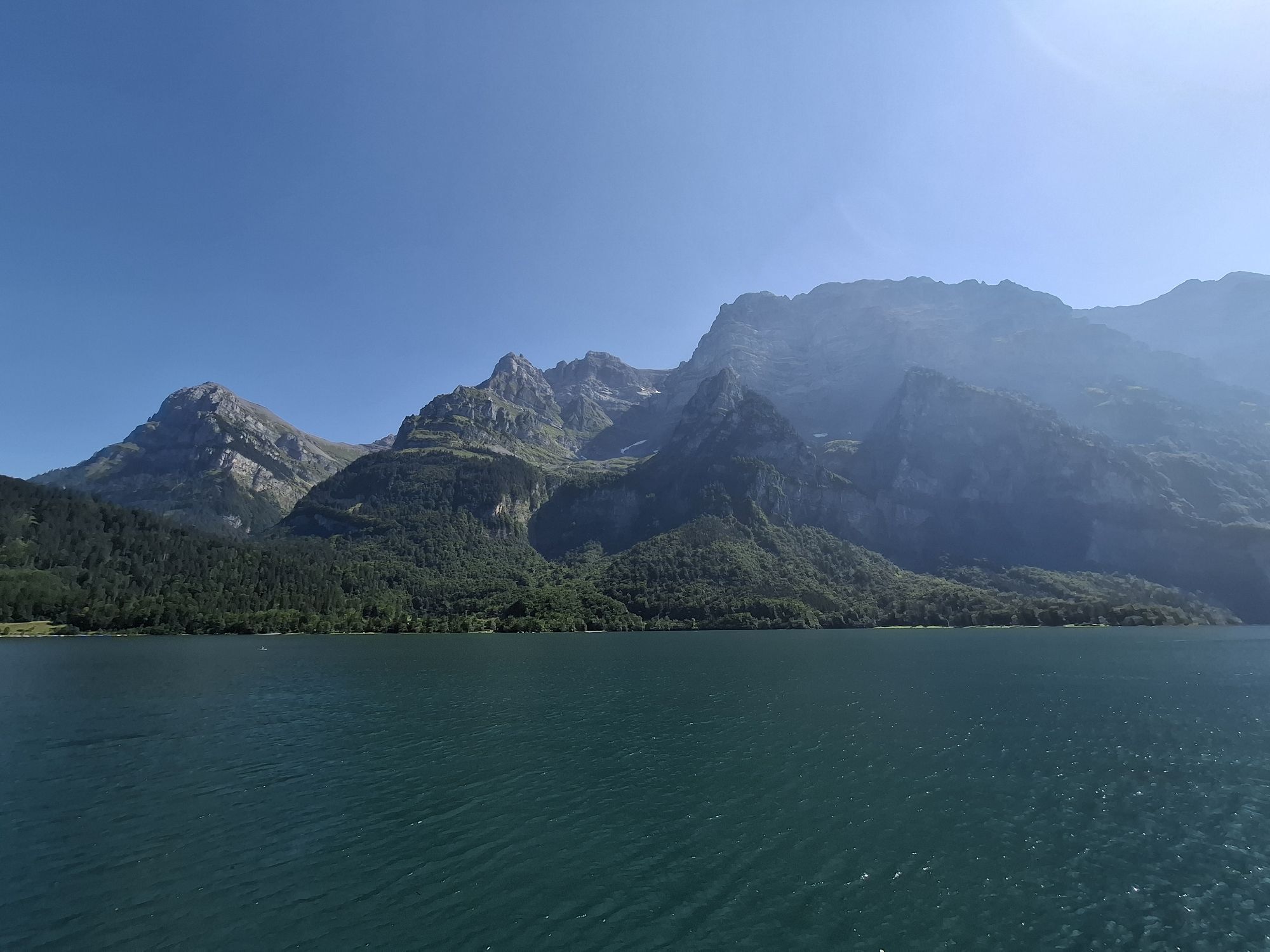
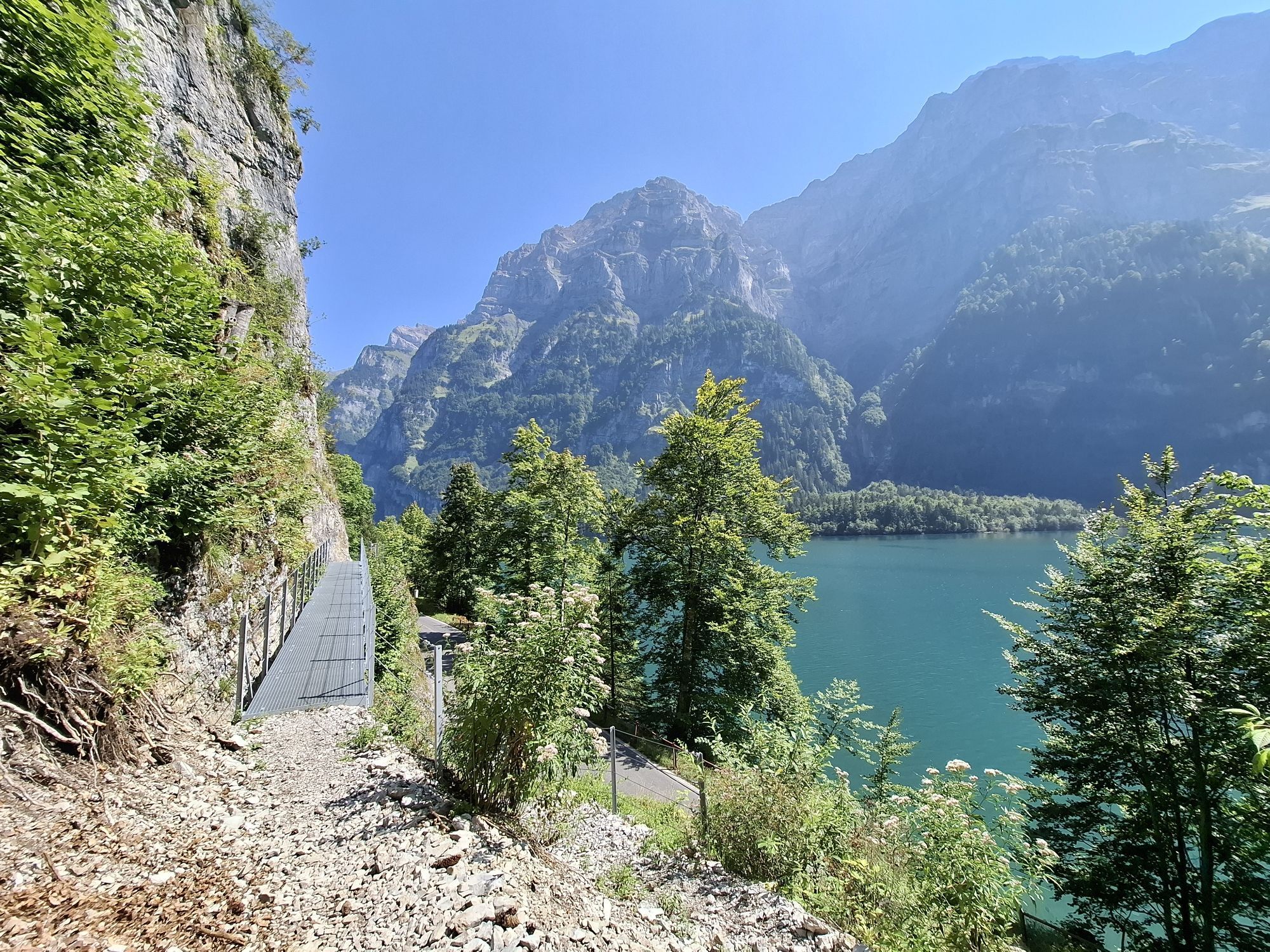
Mercilessly General Suworow rushed his troops over the Pragelpass into the Glarnerland. The cyclist still suffers at the pass today, recovers at the crystal-clear Klöntalersee, drinks "Elmer Citro" and wonders about the geologically unique alpine overthrust.

Technológia
n.a.
Stav
6 / 6
Krajina
n.a.
Skúsenosti
n.a.
Najlepšie ročné obdobie
Jan
Feb
Mar
Apr
Máj
Jún
Júl
Aug
Sep
Okt
Nov
Dec
Autor
Poskytuje Stoos-Muotatal Tourismus
Zdieľať prehliadku
Mapa
Suworow Bike-Route
ťažké
Cyklistika
70,99 km
Chyba
Vyskytla sa chyba. Prosím, skúste to znova.
Informácie o trase
Trasa

Schwyz - Oberschönenbuch - Suworowbrücke - Muotathal - Pragelpass - Richisau - Hinter Klöntal - Klöntalersee - Riederen - Glarus - Schwanden - Sool - Soolsteg - Engi - Matt - Elm

Materiál karty

Sommerprospekt Stoos-Muotatal

Zariadenie

Gepumpte Pneus, 2 kräftige Bremsen, Reflektoren, Trinkflasche

Informácie o príchode
Príchod
Coming from Basel-Lucerne:

At Lucerne, take the A14 towards Zug. At the Rütihof motorway junction, take the A4 motorway in the direction of Schwyz. Take the Schwyz motorway exit and follow the signs to Schwyz railway station.


Coming from Lake Constance and Rapperswil:

From Rapperswil, drive in the direction of Gotthard/Schwyz. At Pfäffikon, take the A3 motorway for a short distance in the direction of Gotthard. Take the first exit in the direction of Gotthard/Schwyz. The country road leads you via Rothenthurm and Sattel to Schwyz. In Schwyz, drive in the direction of Schwyz, railway station.


Coming from Gotthard-Altdorf:

Take the by pass (tunnel) at Flüelen in the direction of Schwyz. Take the motorway exit in Schwyz and drive to Schwyz railway station.

Verejná doprava

Take the train to the Schwyz, Bahnhof stop. The bike route starts there

Parkovanie

There are few parking spaces in the vicinity of the station.

Ďalšie informácie a tipy
Tipy

Die Tour ist mir der Nr. 83 beschriftet.

Aktuelle Informationen zum Pragelpass finden Sie hier.
Oceňovanie
4,0
5
(0)
4
(1)
3
(0)
2
(0)
1
(0)
1 Komentár
Avatar z Hugo Imhof
Hugo Imhof
01. júl. 2026
Muotathal- Schammhöhe
Užitočné (0) |
Správa
Chyba
Vyskytla sa chyba. Prosím, skúste to znova.
Napíšte recenziu

Recenzie pomáhajú ostatným používateľom vybrať si ďalšie dobrodružstvo. Prosím, hodnoťte len prehliadku, nie počasie alebo občerstvenie.

Vyberte jednu z hviezdičiek a ohodnoťte prehliadku
Zlé turné
Slabé turné
Priemerné turné
Dobrá prehliadka
Vynikajúca prehliadka
Turistika a stopovanie

Turistika a stopovanie

Turistika a stopovanie
Viac ako 550.000 návrhov výletov, podrobné mapy a intuitívny plánovač trás robia z aplikácie povinnú výbavu pre všetkých nadšencov prírody.
bergfex



