


Amazon hike
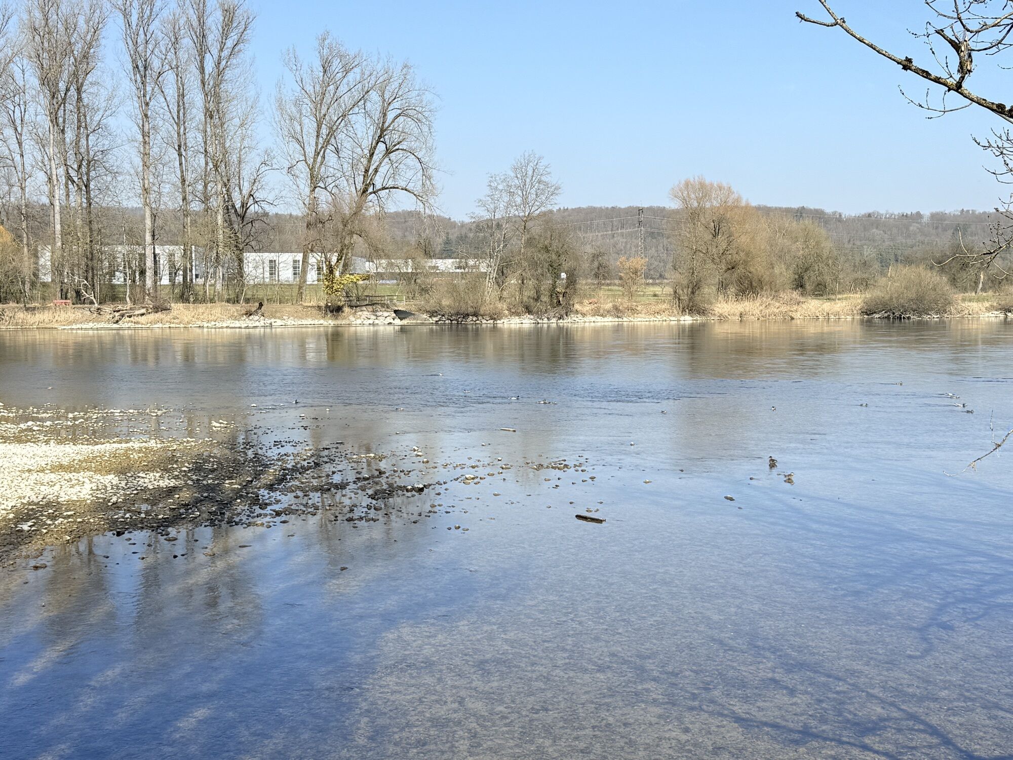
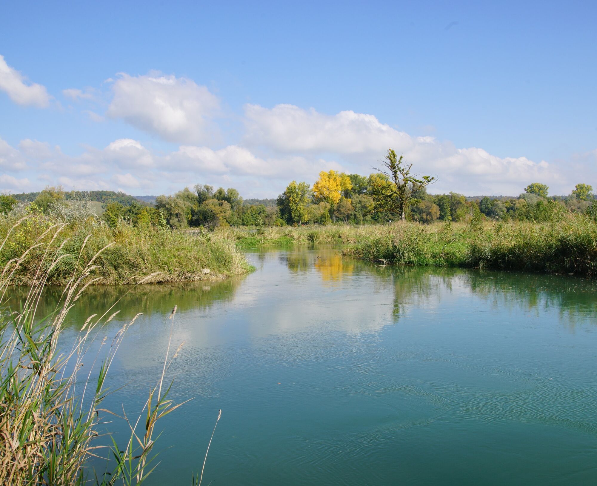
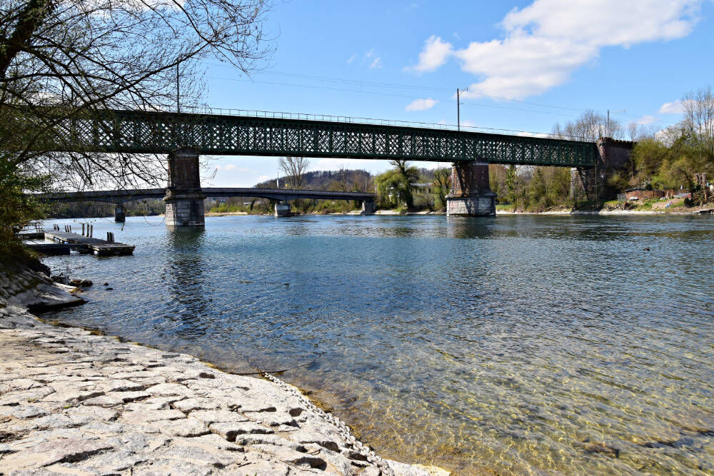
The High Rhine flows between Lake Constance and Basel, largely forming the natural border between Germany and Switzerland. The Aargau section lies between the small town of Kaiserstuhl and the former Roman...
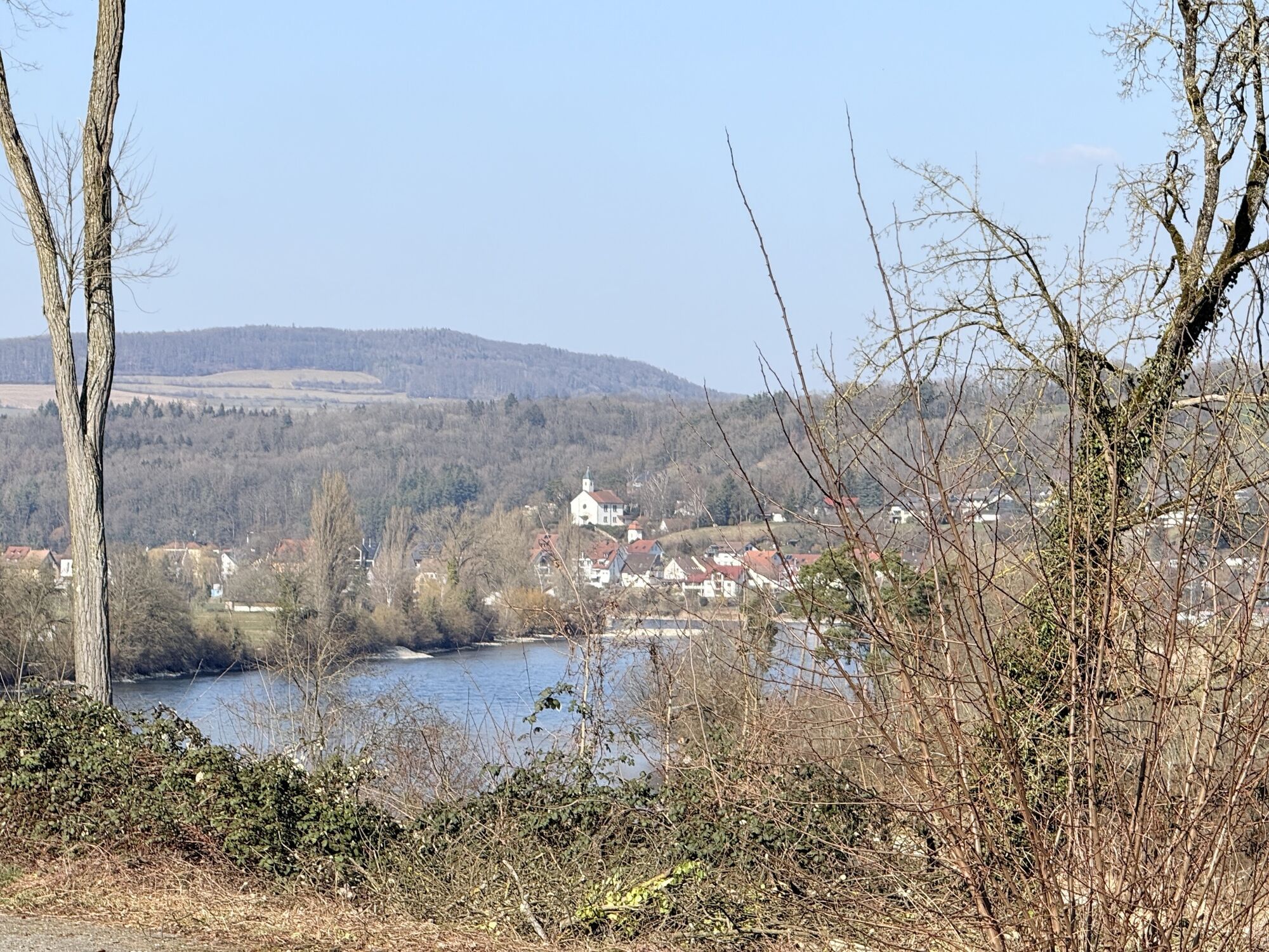
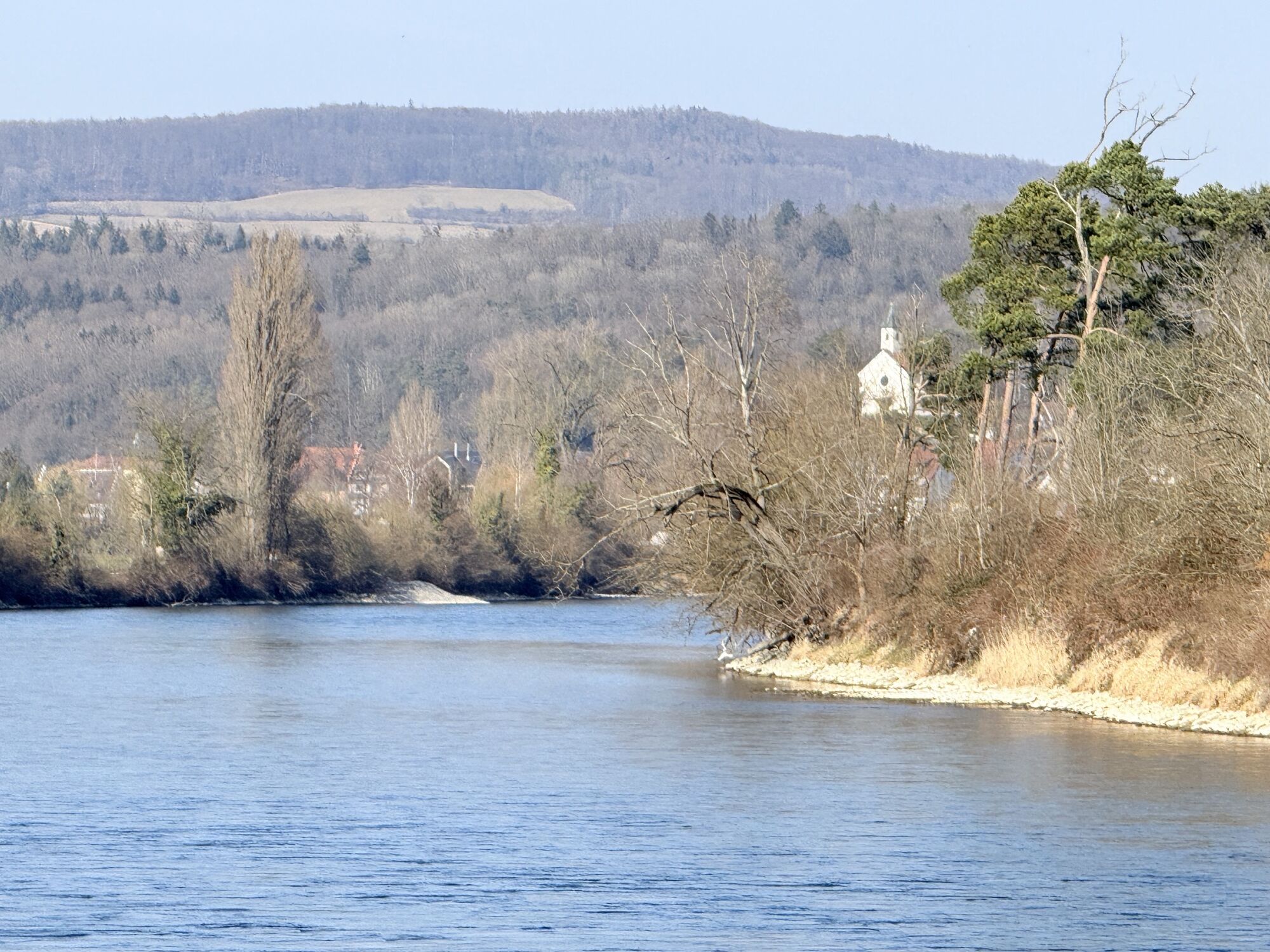
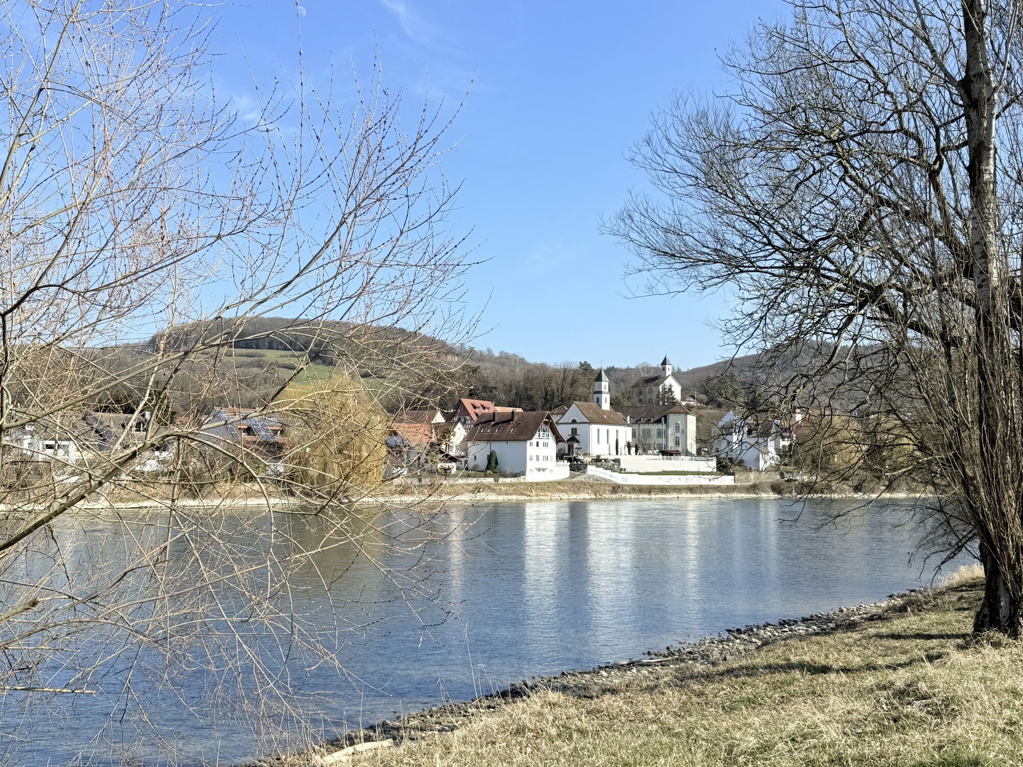
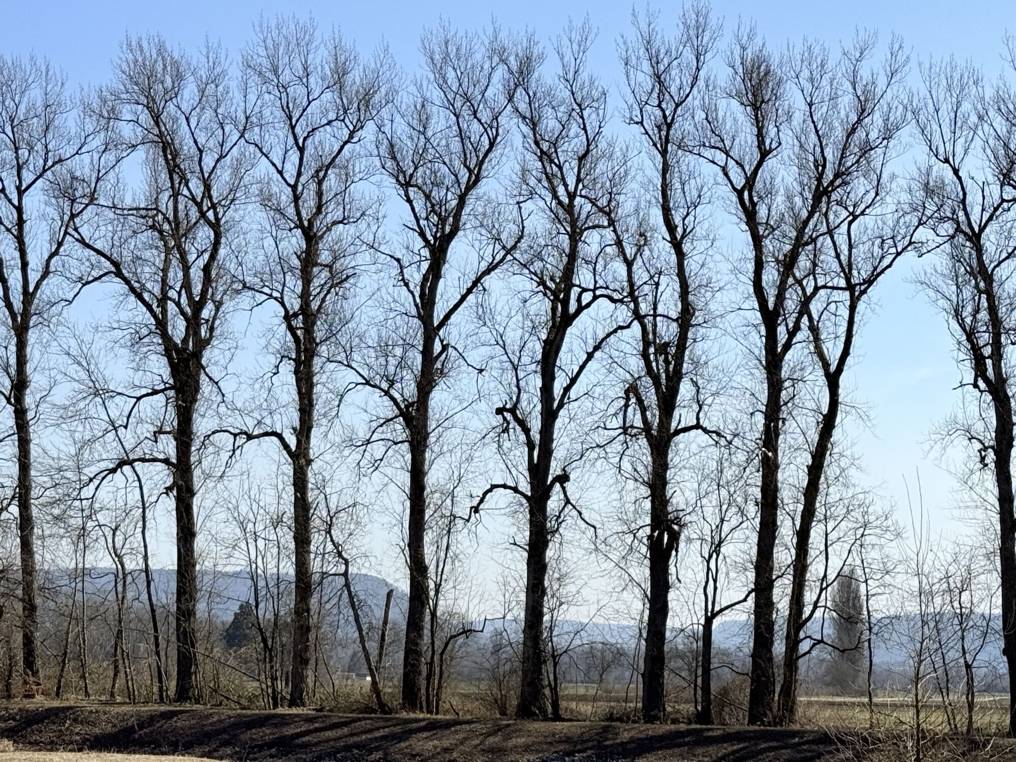
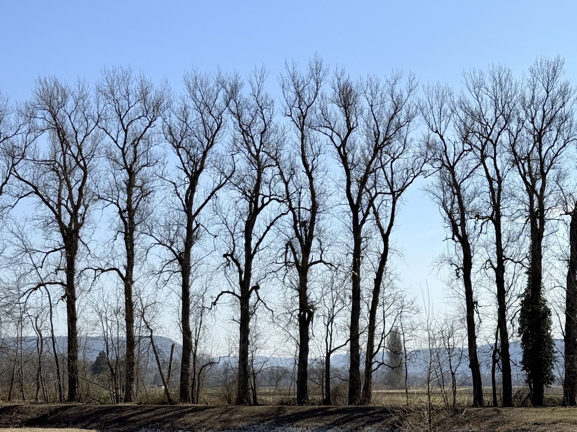
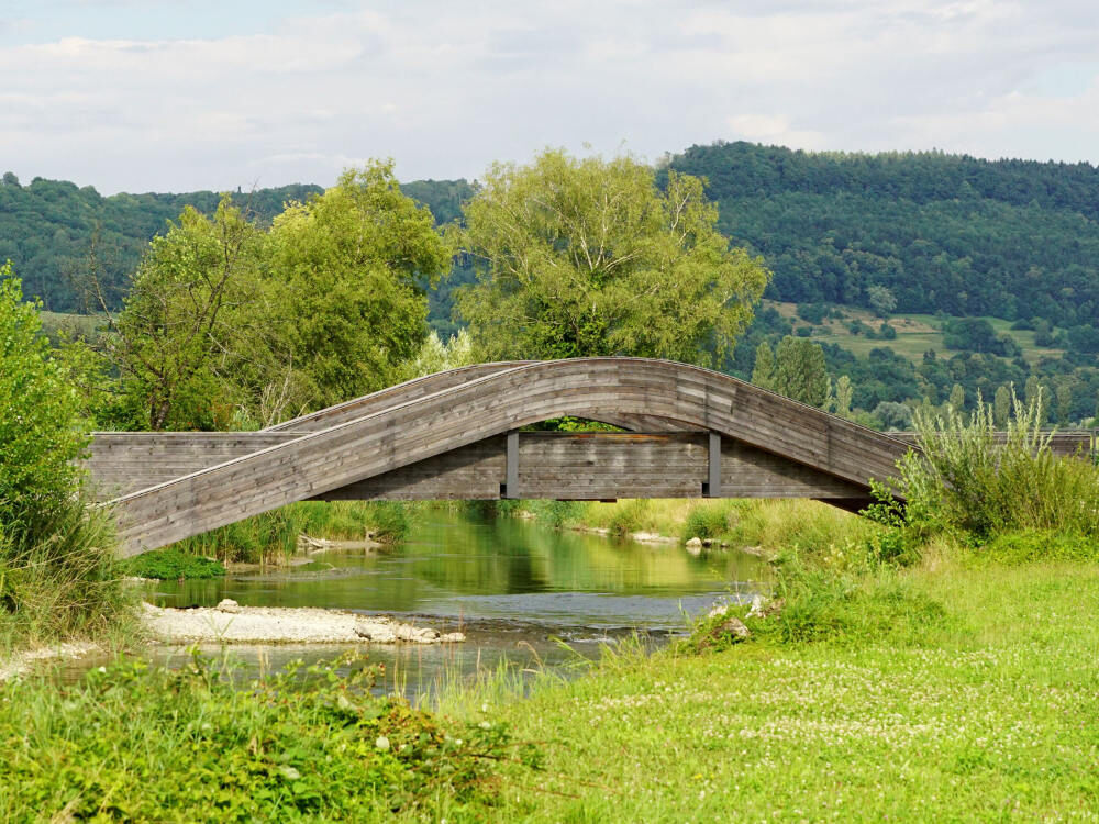
The High Rhine flows between Lake Constance and Basel, largely forming the natural border between Germany and Switzerland. The Aargau section lies between the small town of Kaiserstuhl and the former Roman metropolis of Augusta Raurica (Kaiseraugst). Here, the river flows unhindered through the landscape for long stretches.
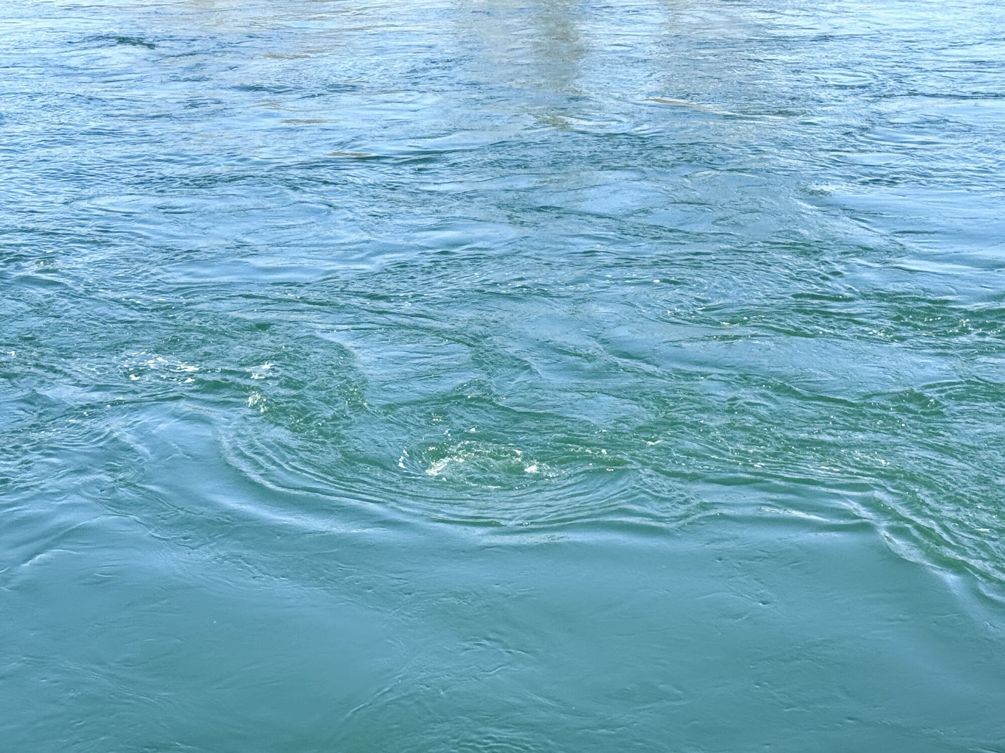
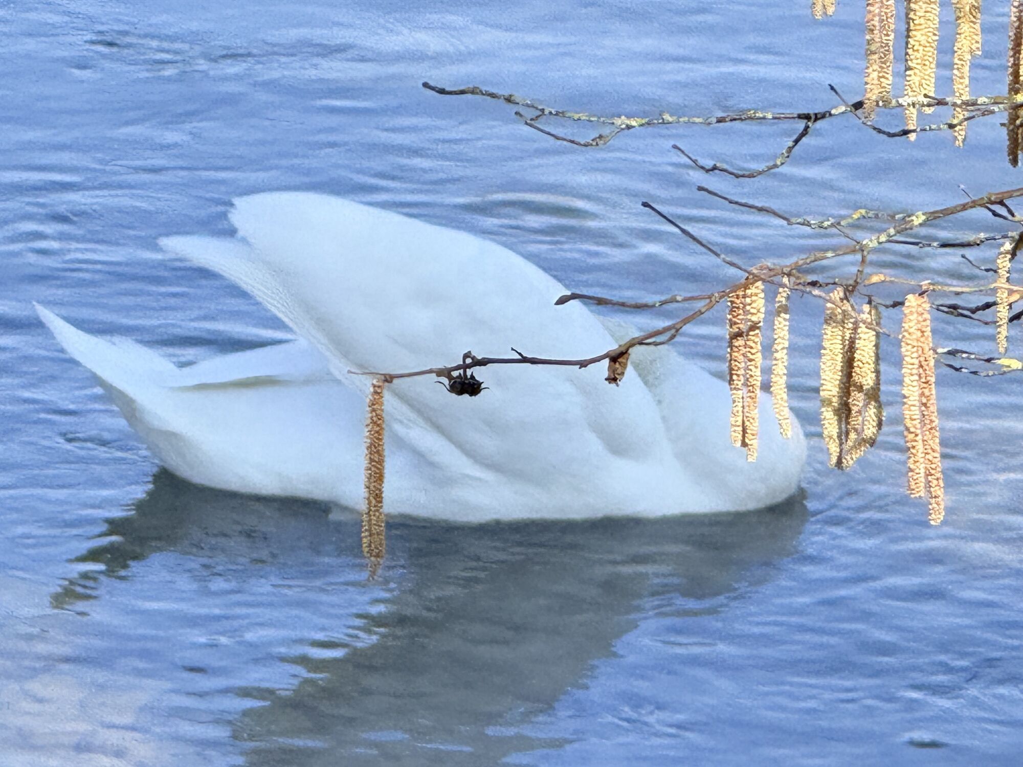
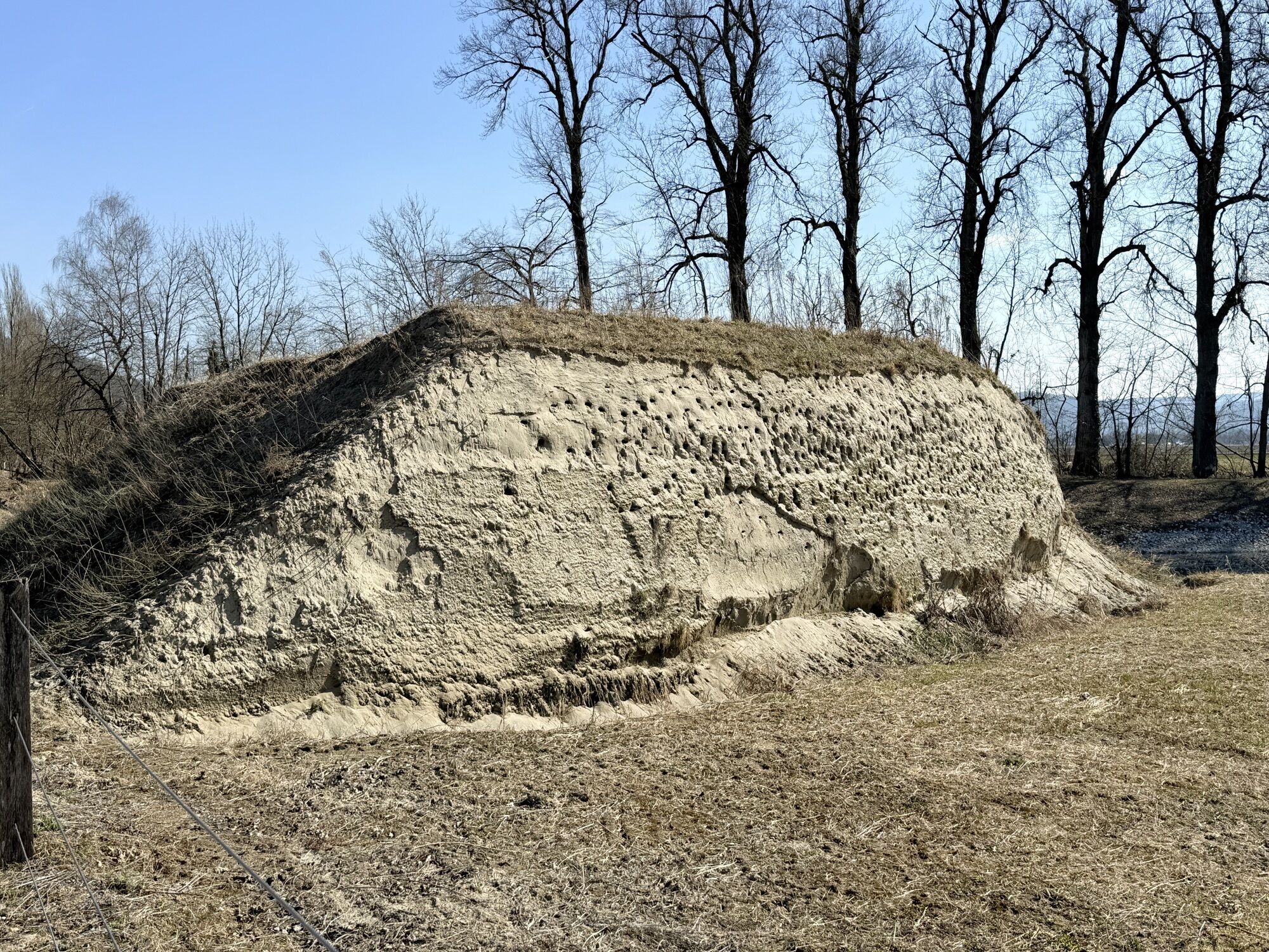
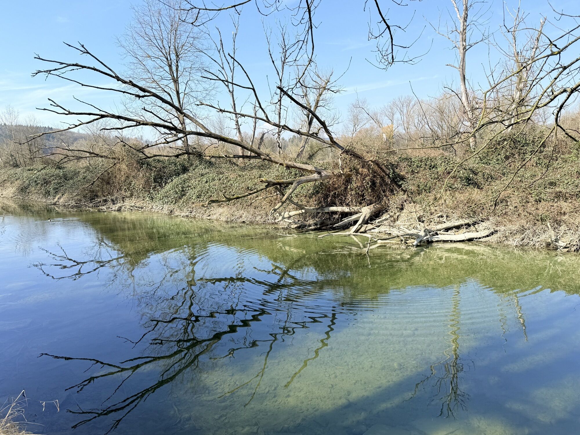
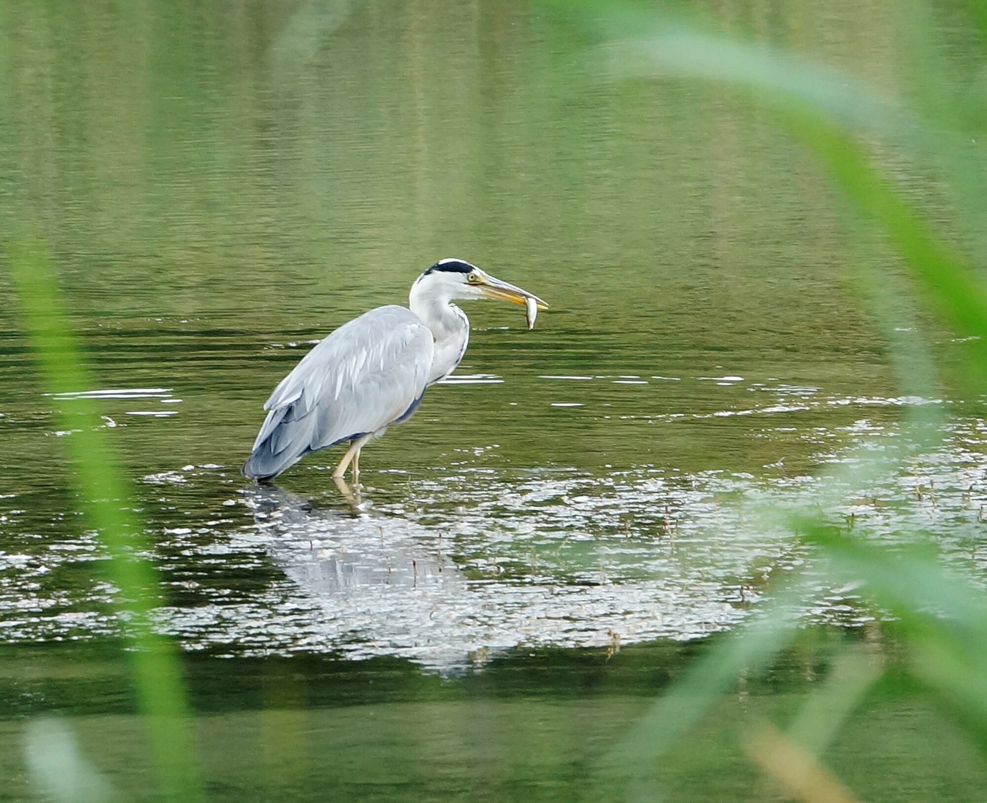
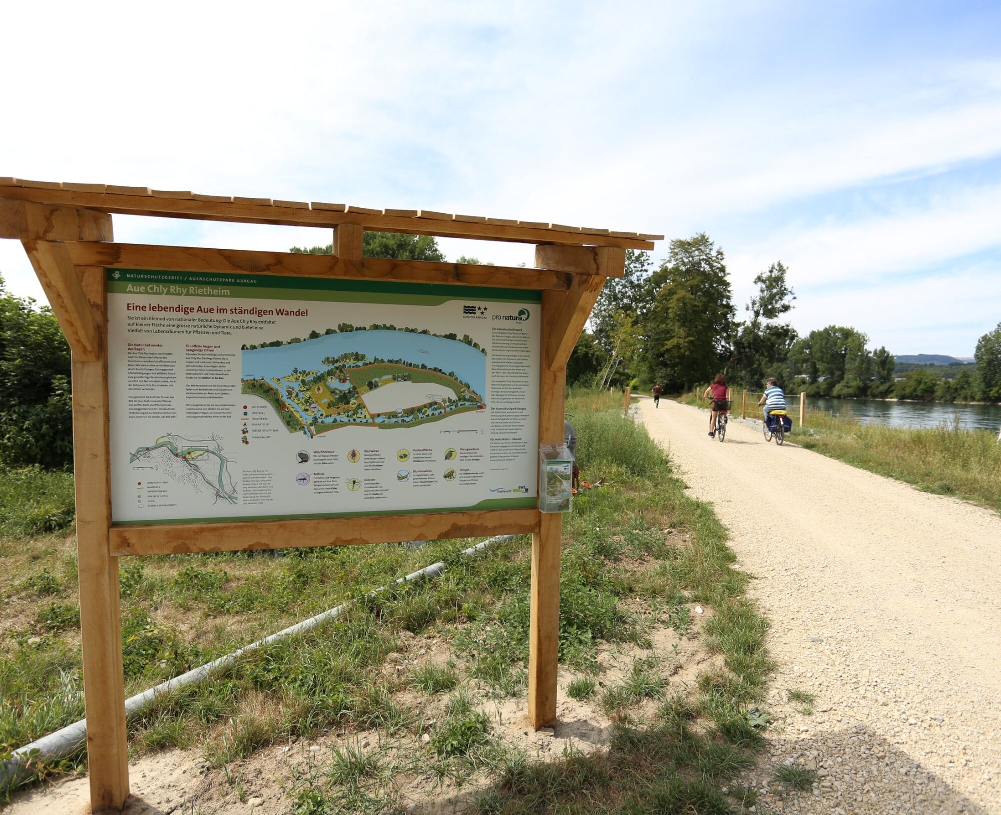
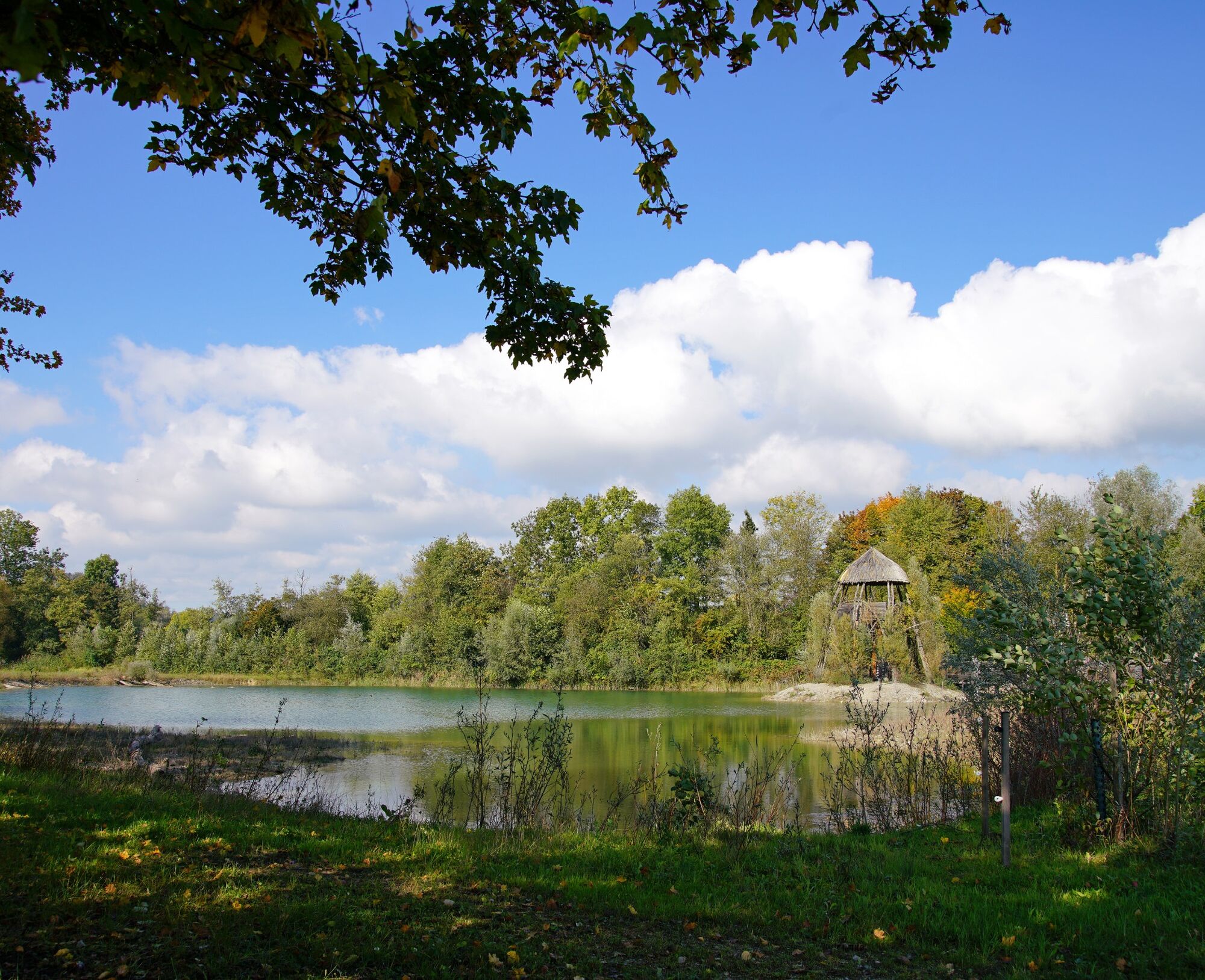
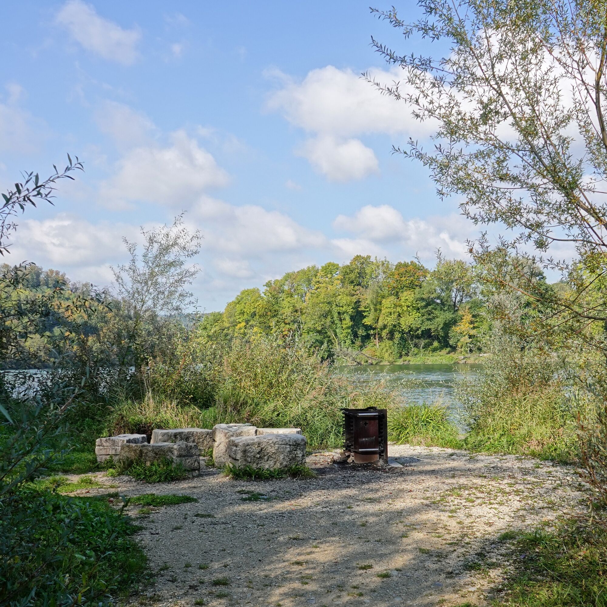
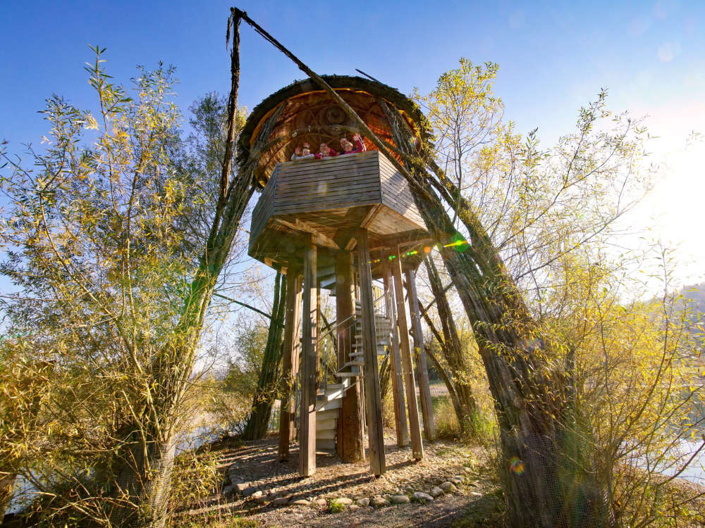
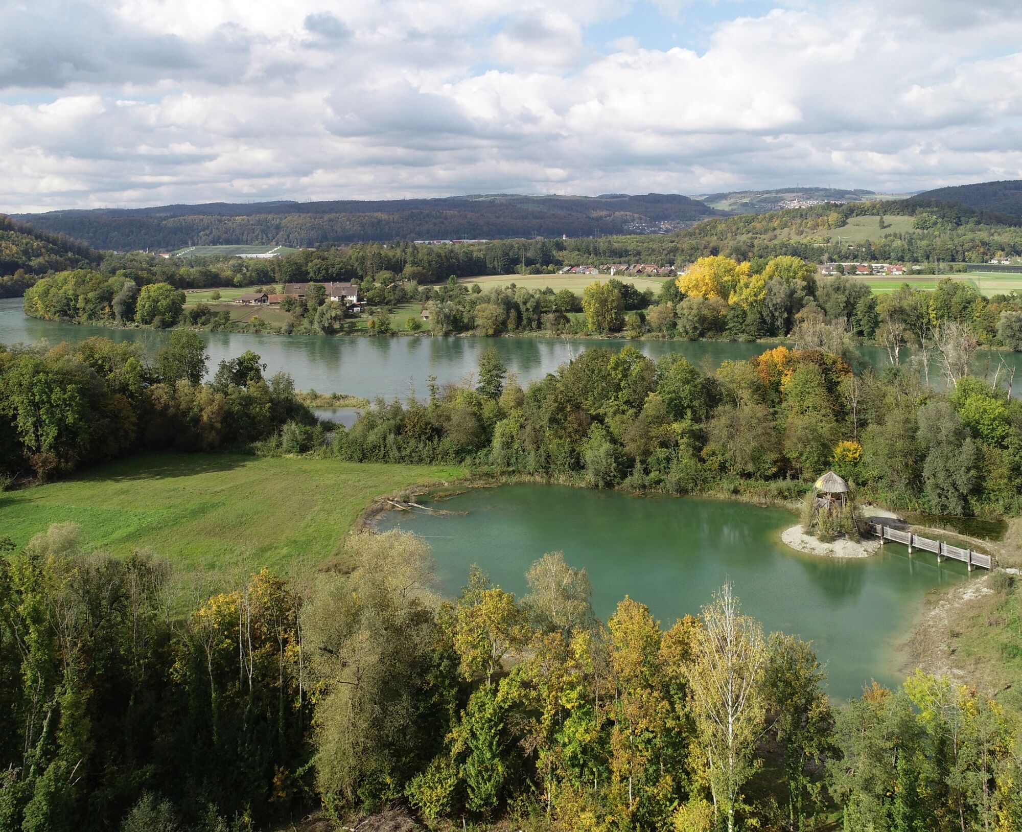
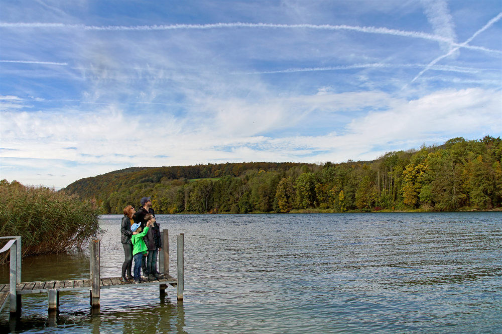
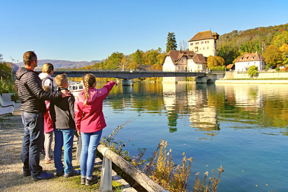
The "Chly Rhy" floodplain conservation area has a wide variety of habitats. Viewing platforms provide an unobstructed view of nature away from the accessible paths. Here you can observe, make small and large discoveries, enjoy the peace and quiet, take a walk, explore and enjoy a barbecue. The best way to discover the habitats of the floodplain is on a hike. Many floodplain animals also go on a hike: for example, frogs and toads from the hinterland look for spawning grounds in sun-warmed pools, and young beavers that have grown up in the floodplain set off to conquer their own territory.

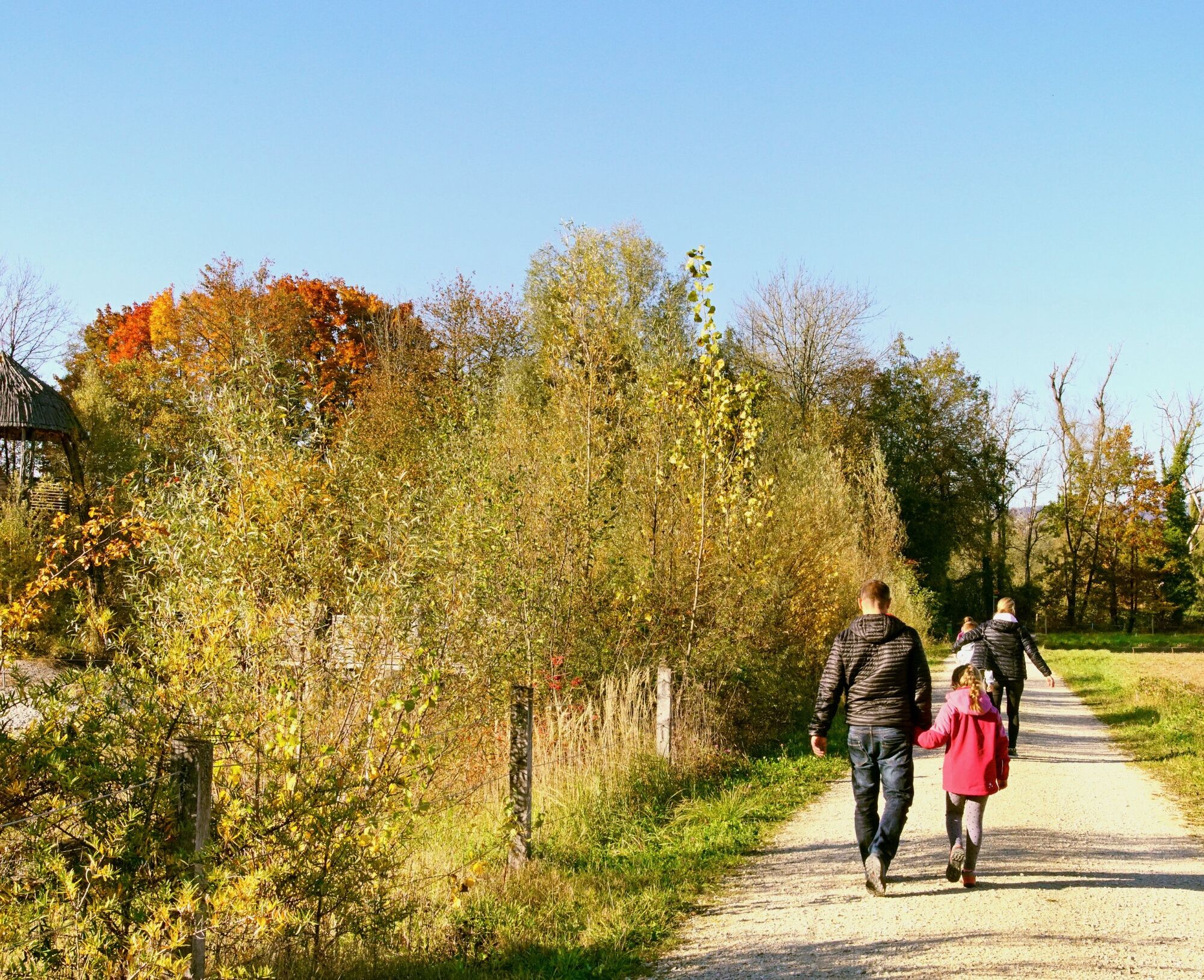
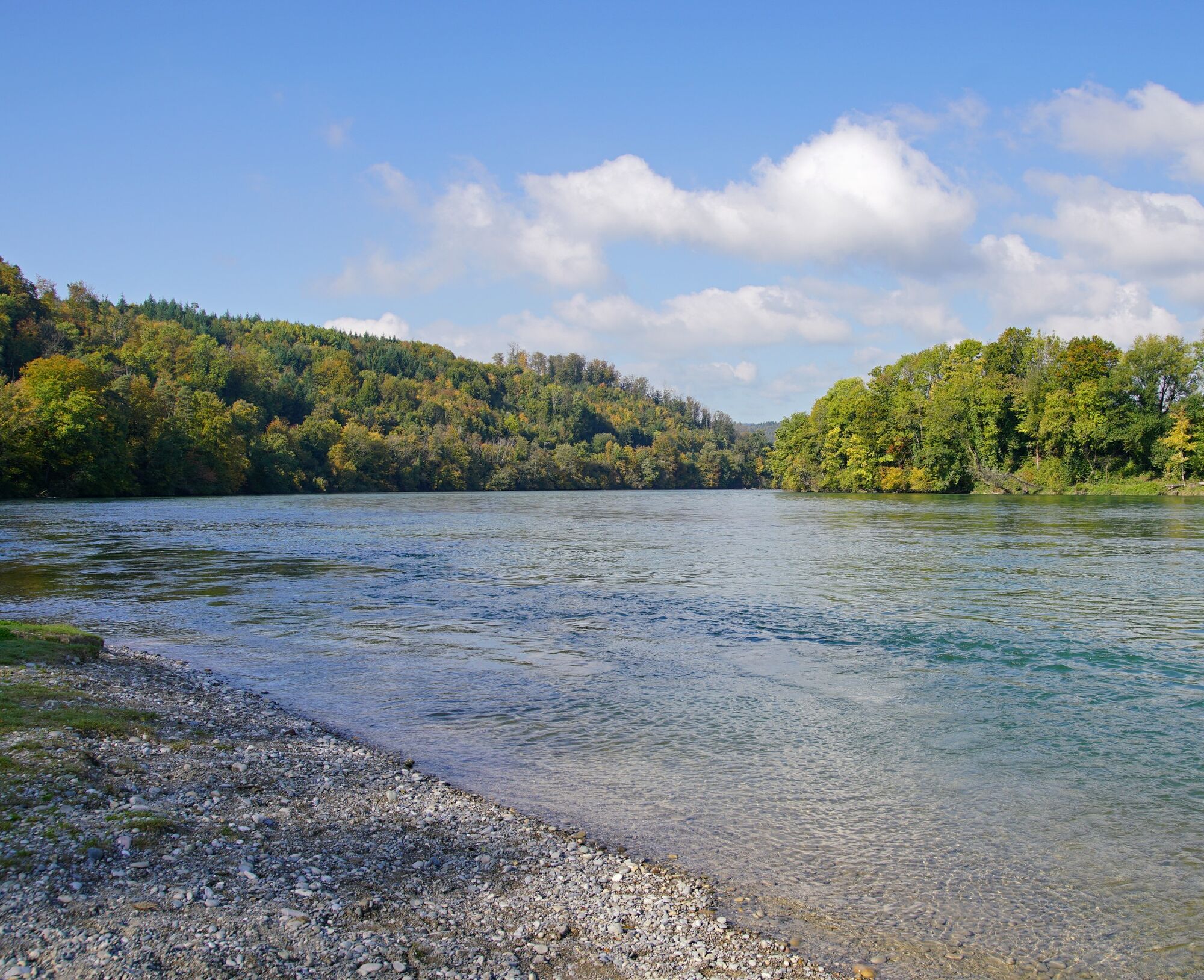


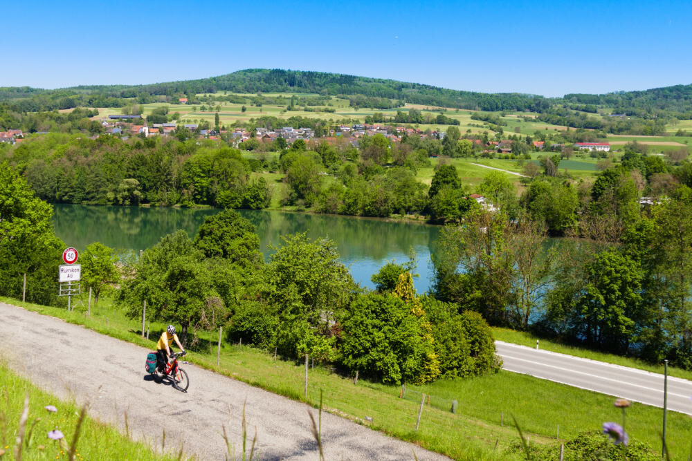
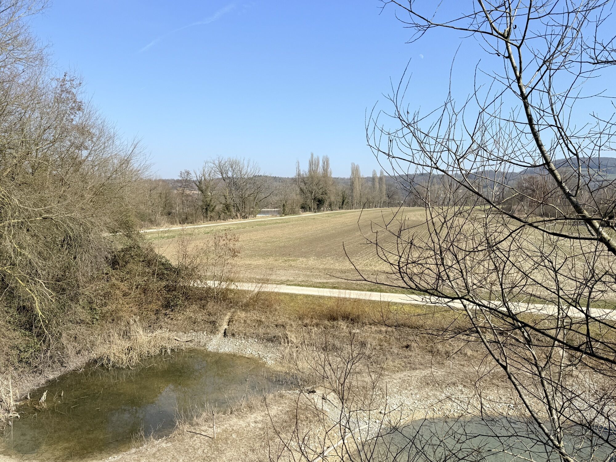
From the railway station in Bad Zurzach, follow the signs for hiking route 60 "ViaRhenana" in the direction of Rietheim / Koblenz. On this route, you walk almost continuously along the banks of the Aargau High Rhine.
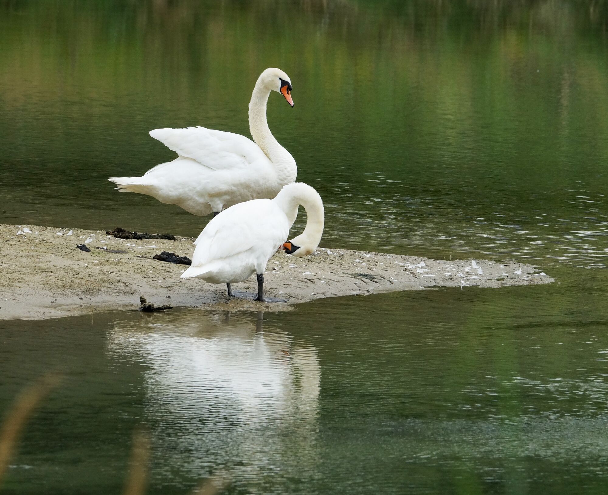
With a pair of binoculars and an information brochure, you can observe some of the inhabitants of the floodplain in their everyday lives.
By car:
Bad Zurzach is around 25 minutes from Baden, 35 minutes from Zurich or Kloten Airport and 40 minutes from Schaffhausen.
By bus/train:
Bad Zurzach can be reached by bus from Brugg; or by train from Baden or Waldshut. From Koblenz you can get back to Bad Zurzach by train within 8 minutes.
Parking is available in the Therme Zurzach car park (charges apply).
You can find more information about Aue Chly Rhy here.
Pick up an informative leaflet on the Aue Chly Rhy at the tourist office in Bad Zurzach before starting the hike and learn interesting facts about this unique natural jewel on the Aargau High Rhine.
Obľúbené výlety v okolí
-
5,0
Lägern ridge hike
strednáTuristika 12,0 km -
3,8
Chänzeli -Tour: Eine Panorama - Stadtwanderung
svetloTuristika 7,81 km -
4,5
Lägern Rundwanderung
strednáTuristika 13,0 km -
4,0
Gratwanderung über die Lägern
ťažkéTuristika 14,8 km -
5,0
Berau - ruins, rocks & gorges
strednáTuristika 9,71 km -
4,0
Cross-border Rhine riverside path
svetloTuristika 7,81 km -
Around the Klingnau reservoir
svetloTuristika 10,7 km -
4,0
"Falkenstein" circular route
svetloTuristika 5,69 km -
4,0
"Hutpfad" hiking trail
svetloTuristika 8,43 km -
5,0
Bad Zurzach - Hörndli - Rekingen - Bad Zurzach
strednáTuristika 9 km

Turistika a stopovanie


Nenechajte si ujsť ponuky a inšpiráciu na ďalšiu dovolenku
Vaša e-mailová adresa bol pridaný do poštového zoznamu.