


Bad Zurzach-Achenberg-Zurzacherberg-Bad Zurzach


Starting point Bad Zurzach South - ascent through the forest to the Red and White Cross - short detour to Rheintalblick (information board and nice resting place) - Achenberg (simple restaurant) - after...
Starting point Bad Zurzach South - ascent through the forest to the Red and White Cross - short detour to Rheintalblick (information board and nice resting place) - Achenberg (simple restaurant) - after the chapel, fork in the path at the forest edge - to the left until the junction towards Schluchen and Ämmeribuck - in Schluchen, cross the road to the forest hut (orchid area) - after about 100 meters, turn left downhill (yellow signpost) - Zurziberg pass height (bus stop for possible return to Bad Zurzach).
If desired: cross the main road - follow the yellow signpost to Hörnli (also a very nice resting place and information board) - continue following the signposts back to Bad Zurzach.

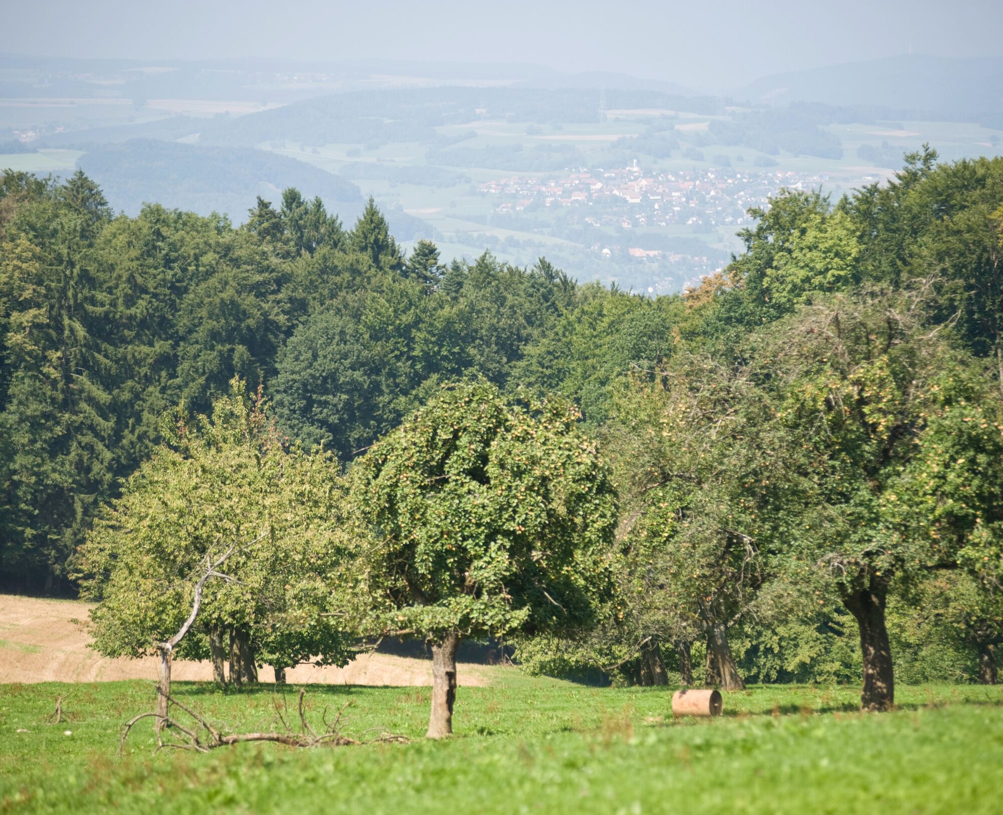
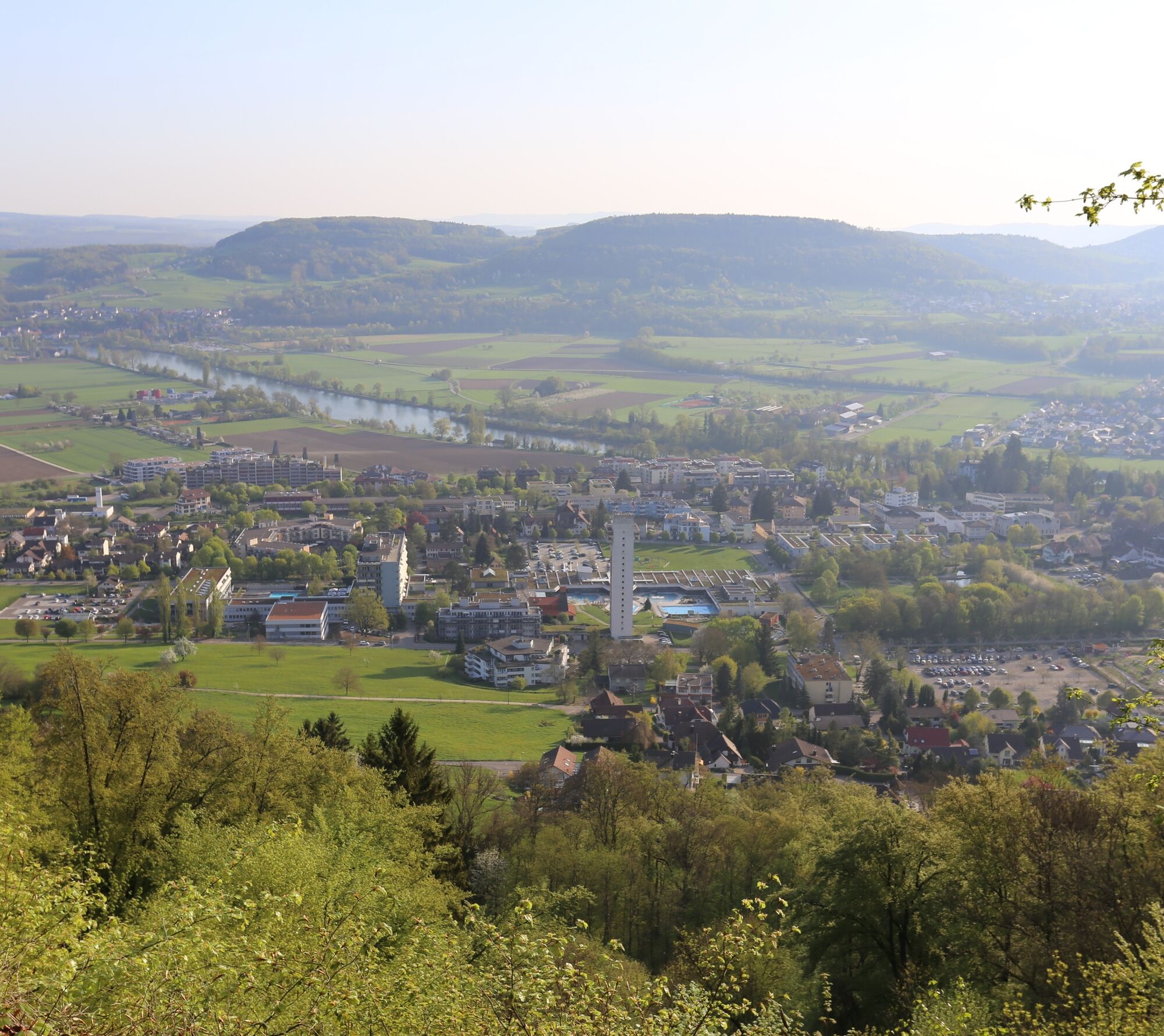

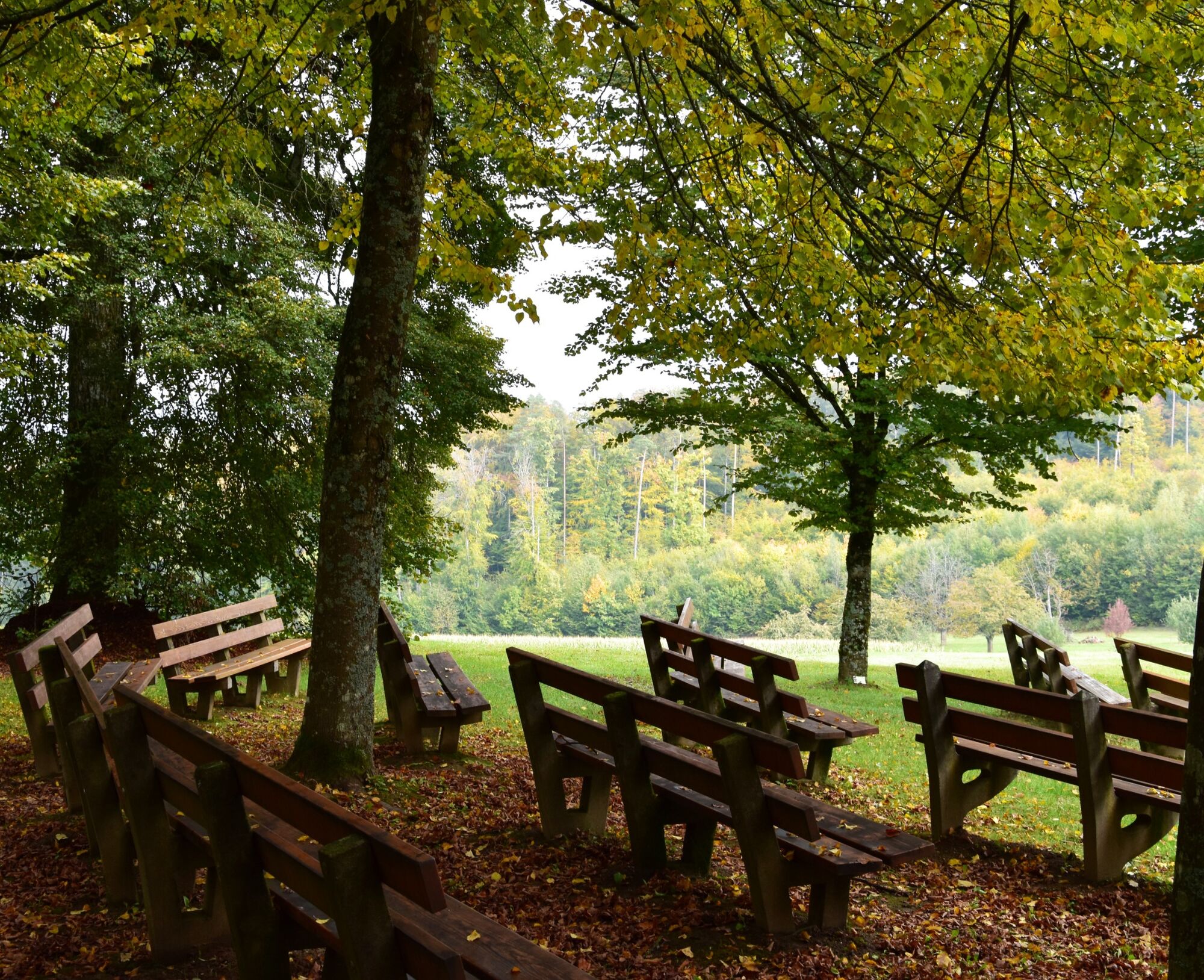
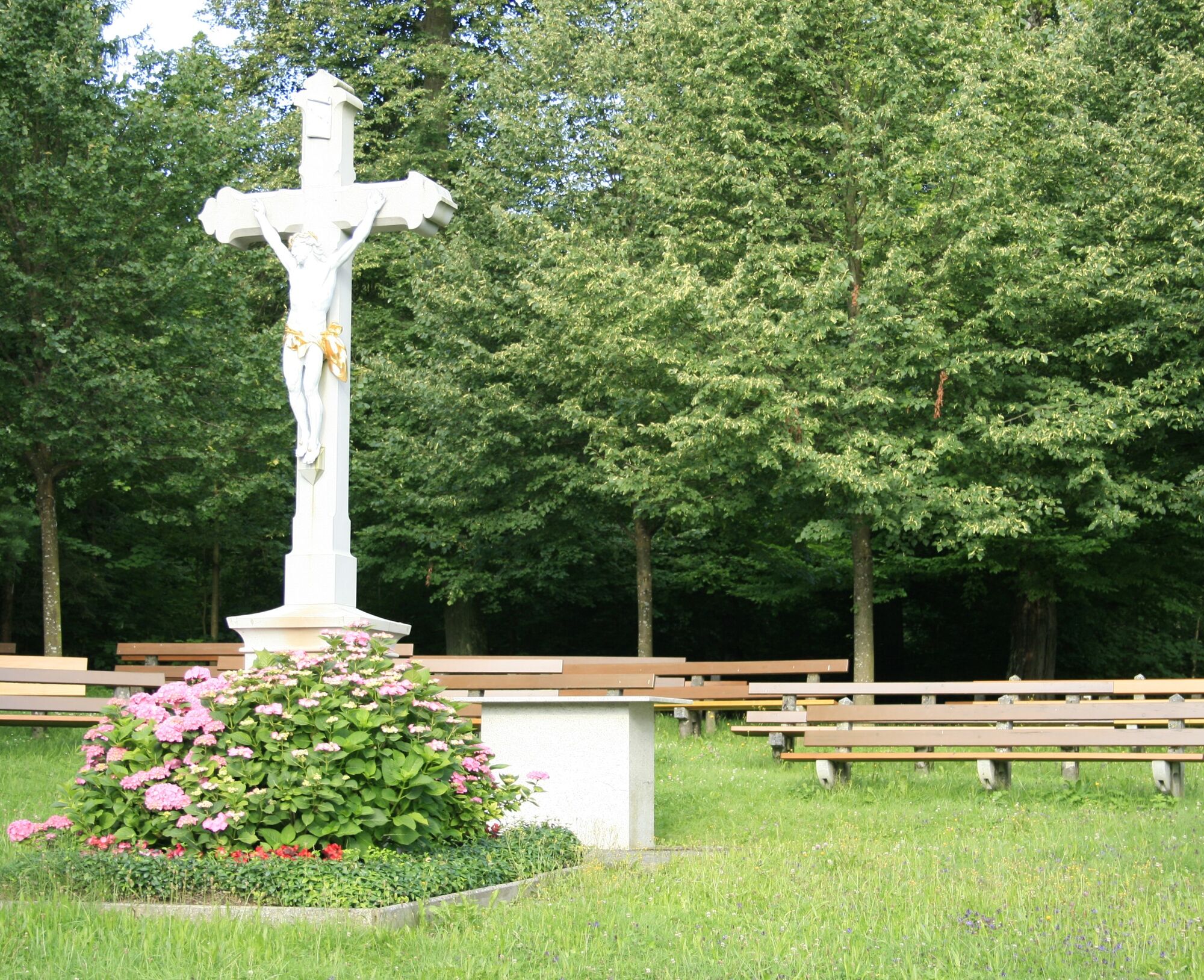
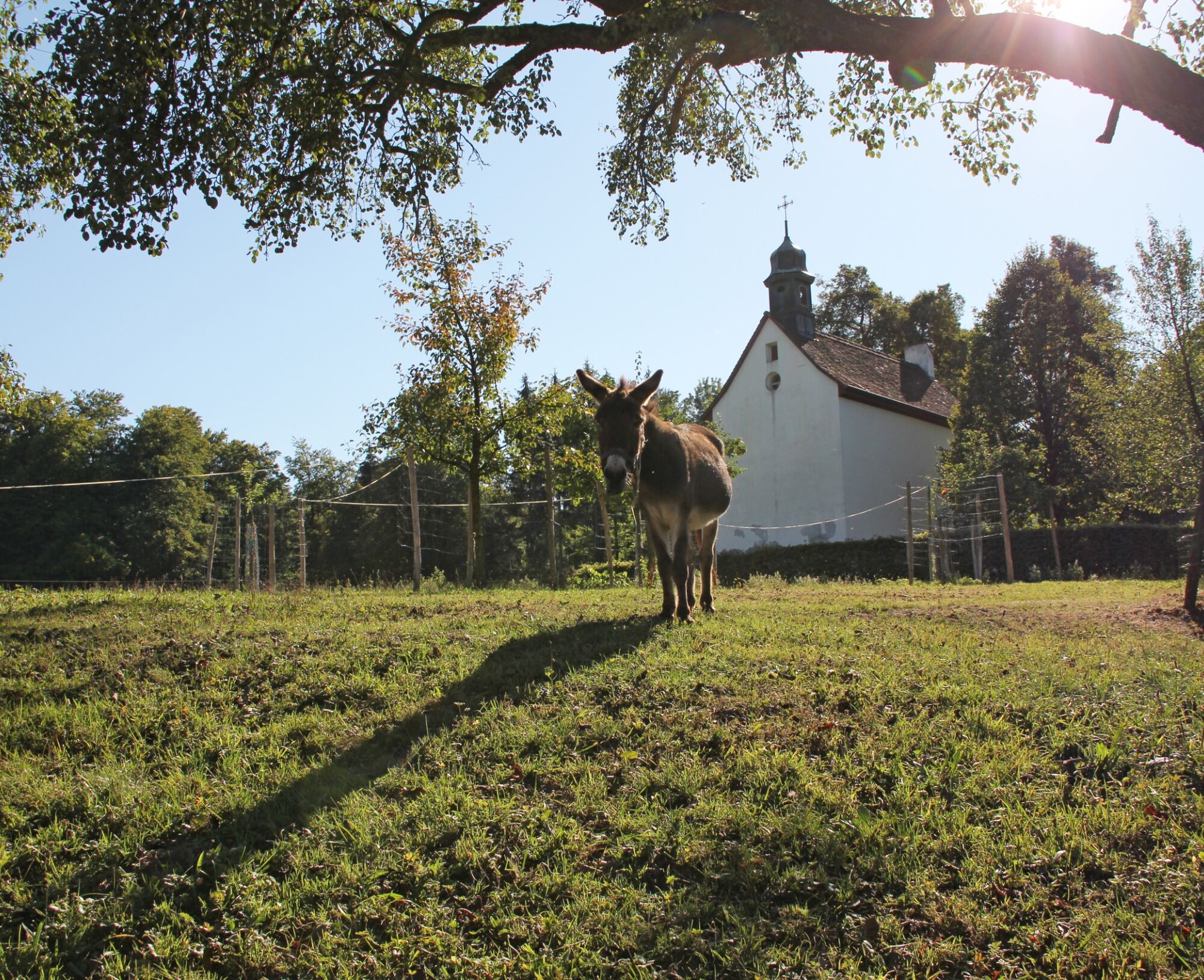


Starting point Bad Zurzach South - ascent through the forest to the Red and White Cross - short detour to Rheintalblick (information board and nice resting place) - Achenberg (simple restaurant) - after the chapel, fork in the path at the forest edge - to the left until the junction towards Schluchen and Ämmeribuck - in Schluchen, cross the road to the forest hut (orchid area) - after about 100 meters, turn left downhill (yellow signpost) - Zurziberg pass height (bus stop for possible return to Bad Zurzach). If desired: cross the main road - follow the yellow signpost to Hörnli (also a very nice resting place and information board) - continue following the signposts back to Bad Zurzach.
By Car:
From Baden it takes about 25 minutes, from Zurich or Kloten Airport 35 minutes, and from Schaffhausen 40 minutes to Bad Zurzach.
By Bus/Train:
You can reach Bad Zurzach by bus from Brugg; or by train from Baden or Waldshut.
Parking available in the paid parking lot of the Thermalbad Zurzach.
See also:
Bad Zurzach Tourism AG
Dr. Martin Erb-Strasse 9
CH-5330 Bad Zurzach
Tel: +41 (0)56 269 00 60
E-mail: welcome@badzurzach.info
Internet: www.badzurzach.info
Food: From your backpack or in restaurants along the way.
Public transport: PostBus line 360 (Brugg - Bad Zurzach)
Obľúbené výlety v okolí
-
3,8
Chänzeli -Tour: Eine Panorama - Stadtwanderung
svetloTuristika 7,81 km -
4,5
Lägern Rundwanderung
strednáTuristika 13,0 km -
5,0
Lägern ridge hike
strednáTuristika 12,0 km -
4,0
Cross-border Rhine riverside path
svetloTuristika 7,81 km -
Around the Klingnau reservoir
svetloTuristika 10,7 km -
From water to wine and back
strednáCestný bicykel 39,2 km -
Klingnauer Reservoir
svetloCestný bicykel 24,4 km -
5,0
Amazon hike
strednáTematická trasa 20,2 km -
Rundkurs mit Start & Ende in Endingen
svetloTuristika 12,2 km -
4,0
E-bike route through the Zurzibiet
strednáCyklistika 42,9 km
Turistika a stopovanie


Nenechajte si ujsť ponuky a inšpiráciu na ďalšiu dovolenku
Vaša e-mailová adresa bol pridaný do poštového zoznamu.