


From the Aargau High Rhine to the Klingnauer Reservoir


Fotografie našich používateľov
-
 © Conny WickiVytvorené dňa 07.03.2025
 -
 © Conny WickiVytvorené dňa 07.03.2025
 -
 © Conny WickiVytvorené dňa 07.03.2025
 -
 © Conny WickiVytvorené dňa 07.03.2025
 -
 © Conny WickiVytvorené dňa 07.03.2025
 -
 © Conny WickiVytvorené dňa 07.03.2025
 -
 © Conny WickiVytvorené dňa 07.03.2025
 -
 © Conny WickiVytvorené dňa 07.03.2025
 -
 © Conny WickiVytvorené dňa 07.03.2025
 -
 © Conny WickiVytvorené dňa 07.03.2025
 -
 © Conny WickiVytvorené dňa 07.03.2025


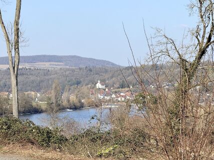
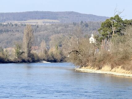
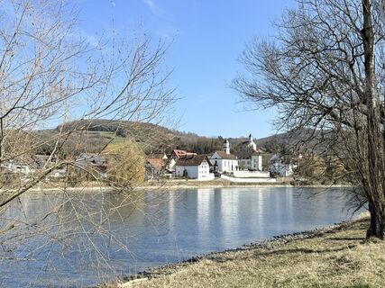
On this hike, you pass by several highlights where a short stop is worthwhile:
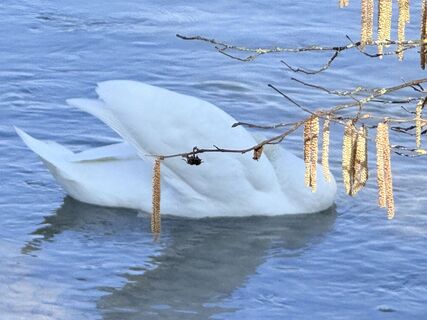
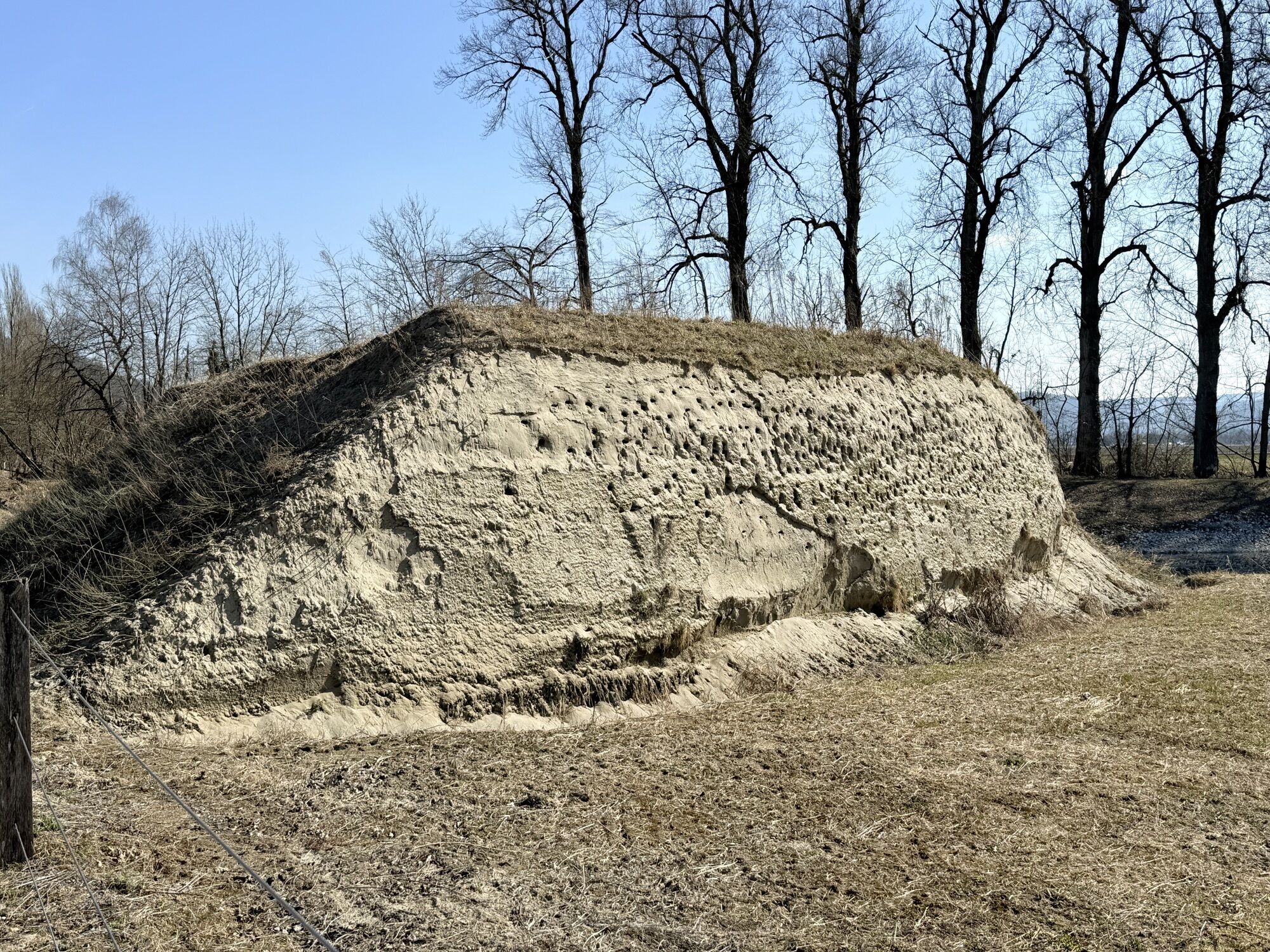
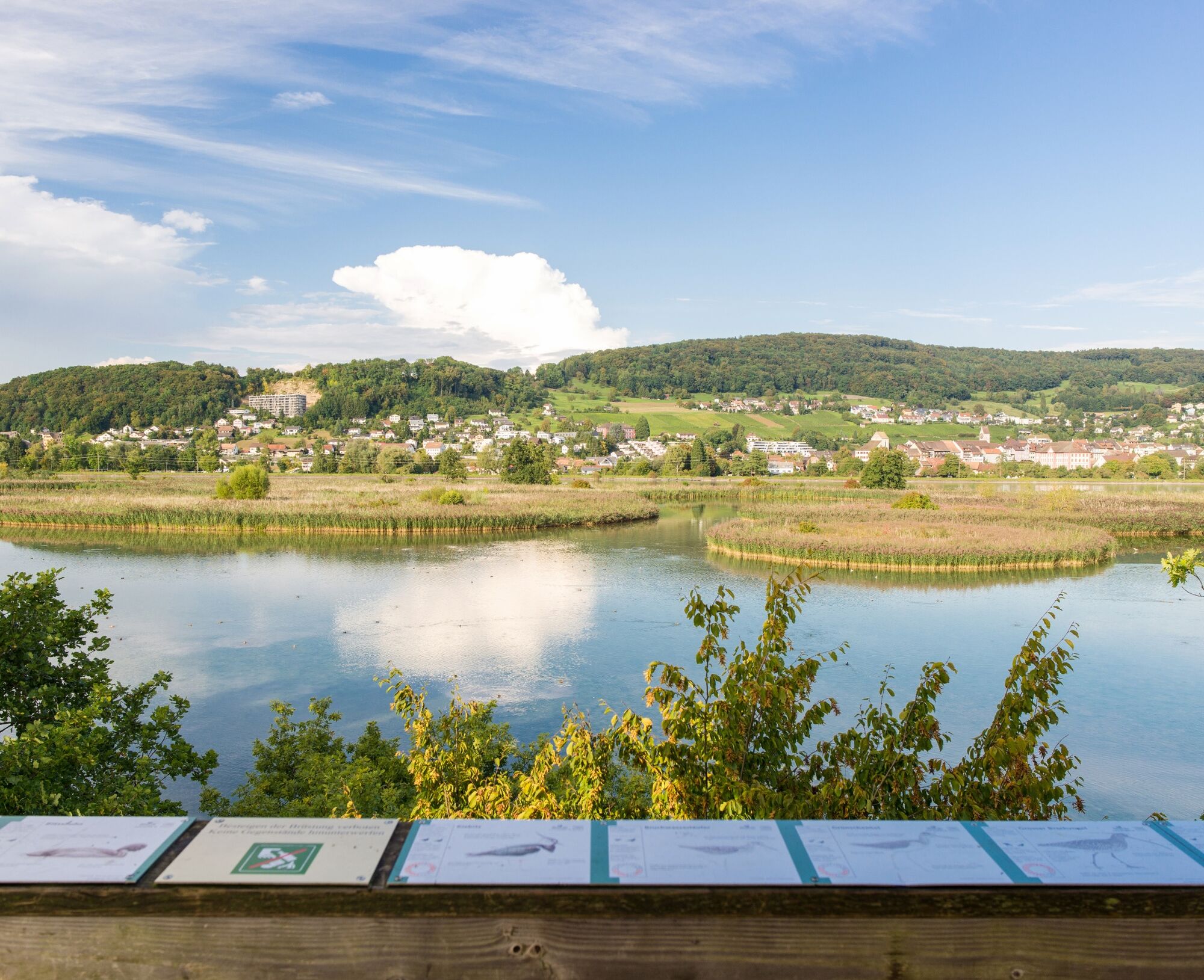
Bad Zurzach Castle Floodplain "Chly Rhy" BirdLife Nature Center Klingnauer ReservoirOn this hike, you pass by several highlights where a short stop is worthwhile:
Bad Zurzach Castle Floodplain "Chly Rhy" BirdLife Nature Center Klingnauer Reservoir

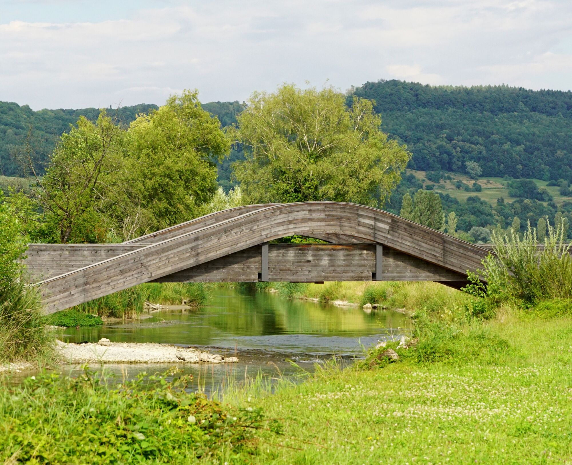
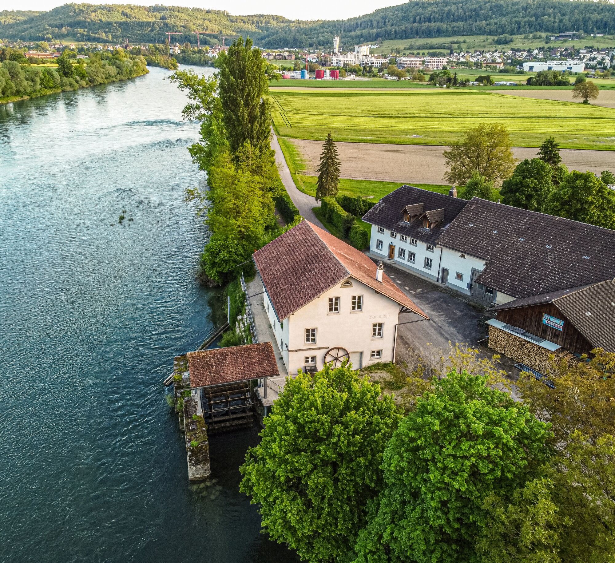
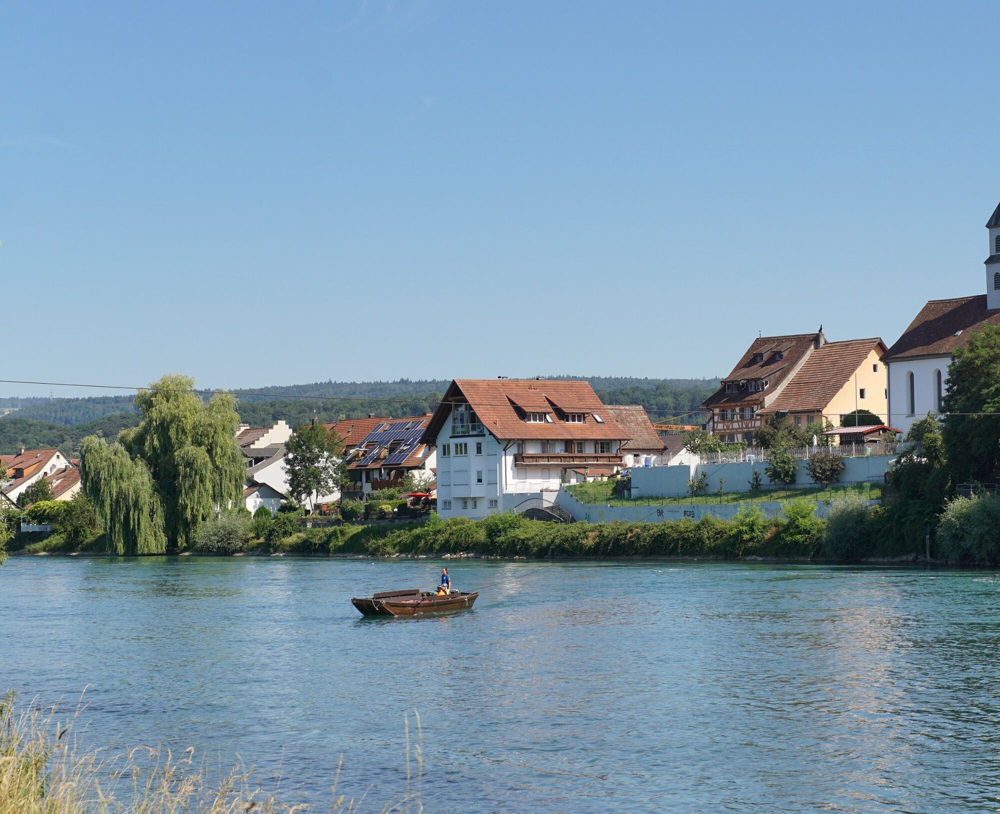
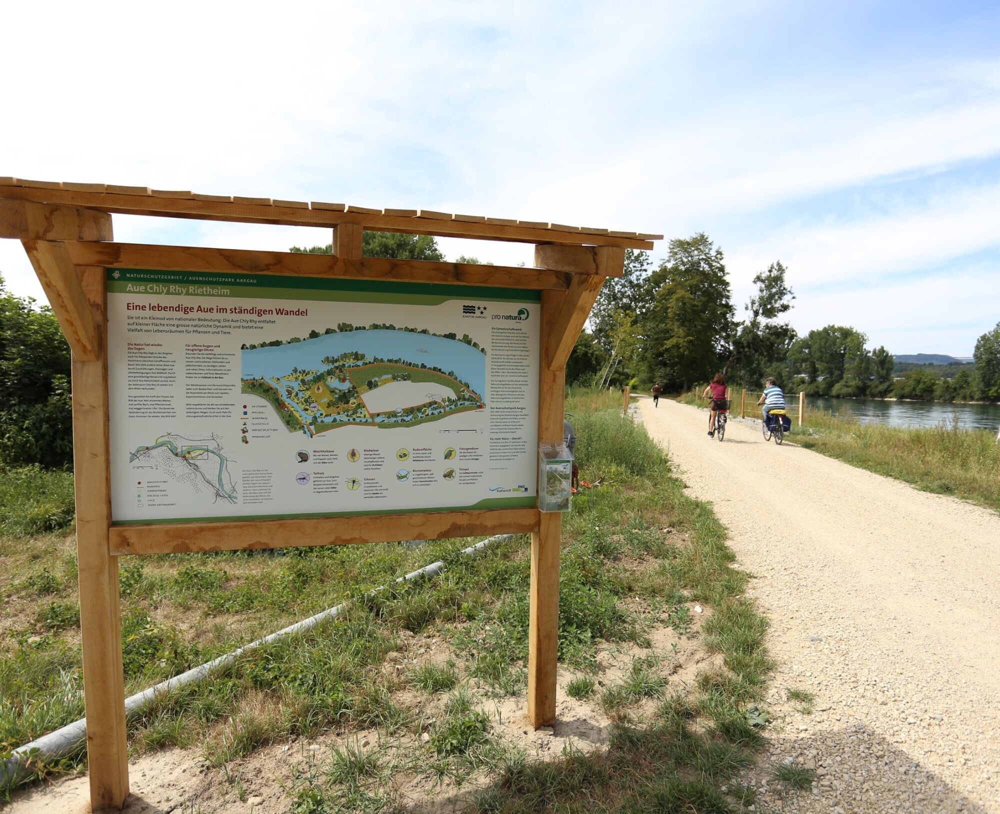
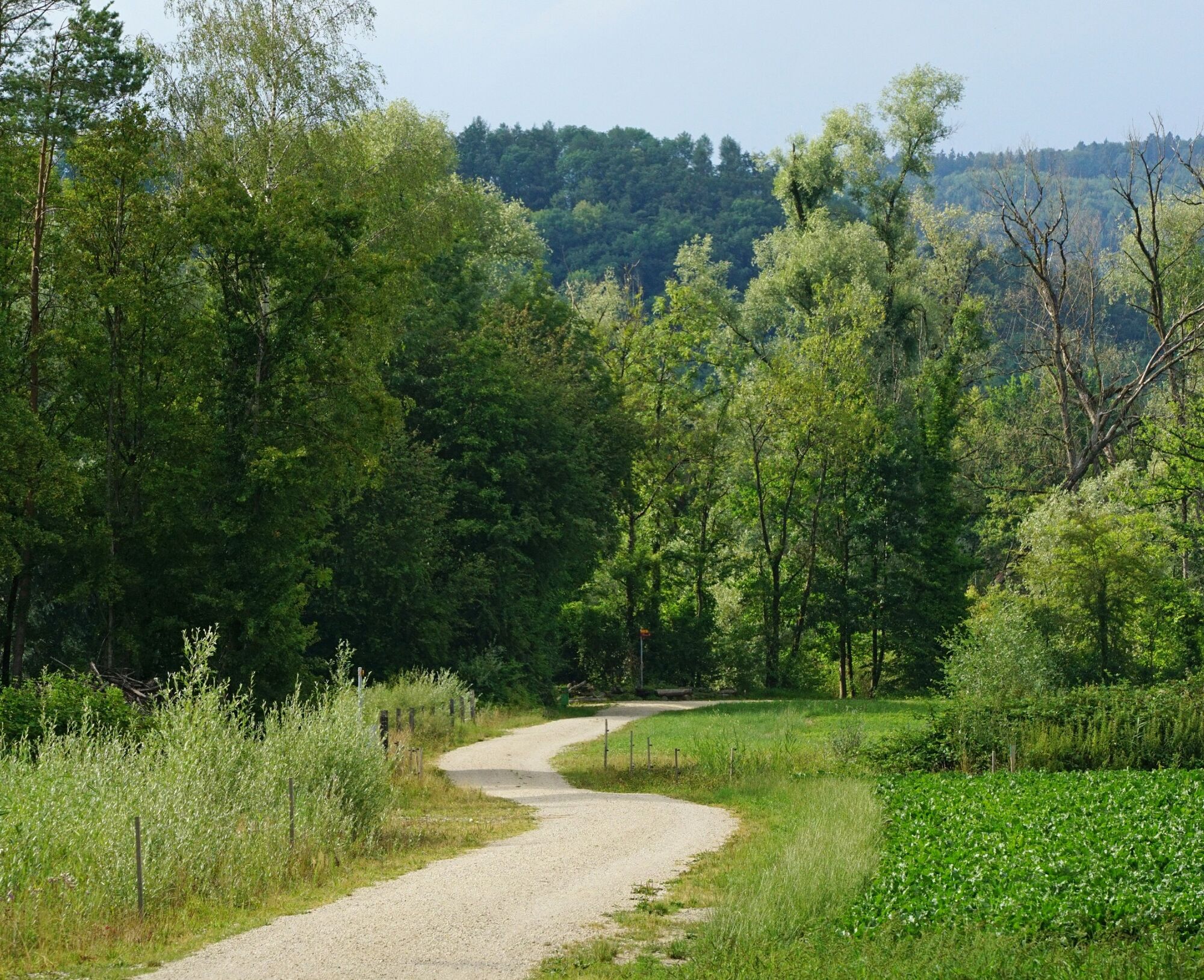

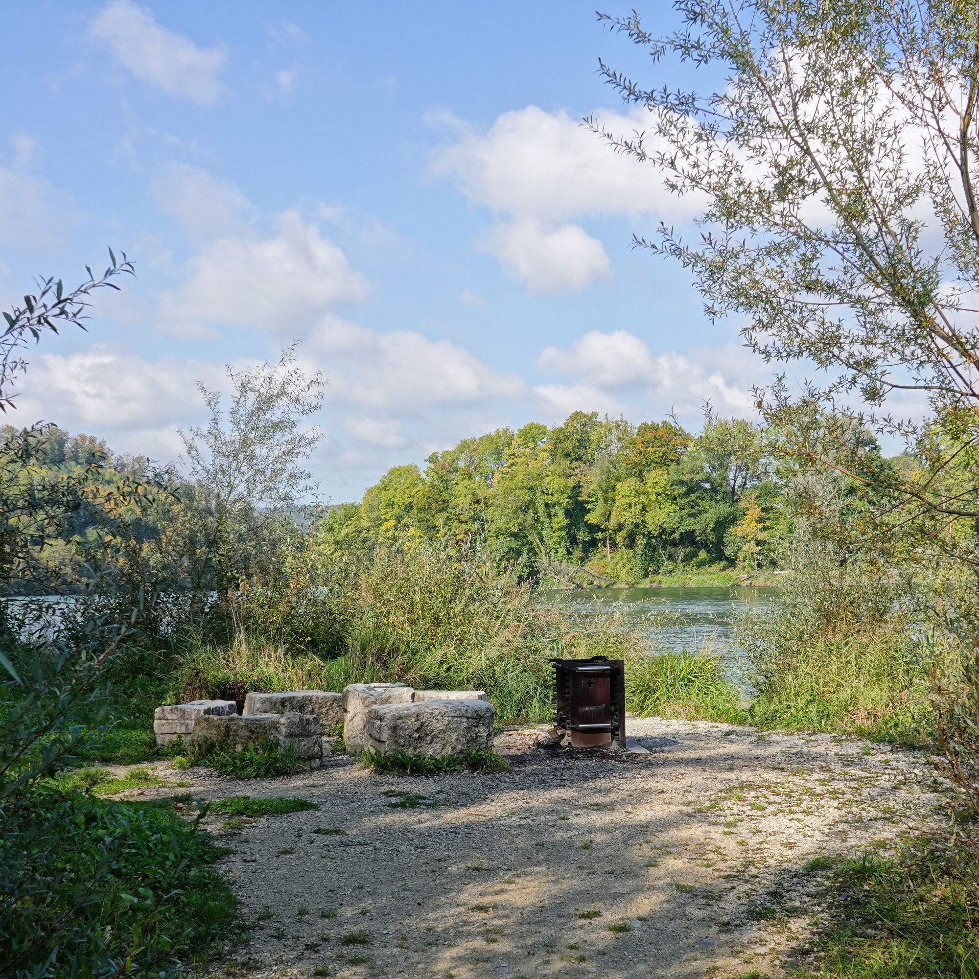

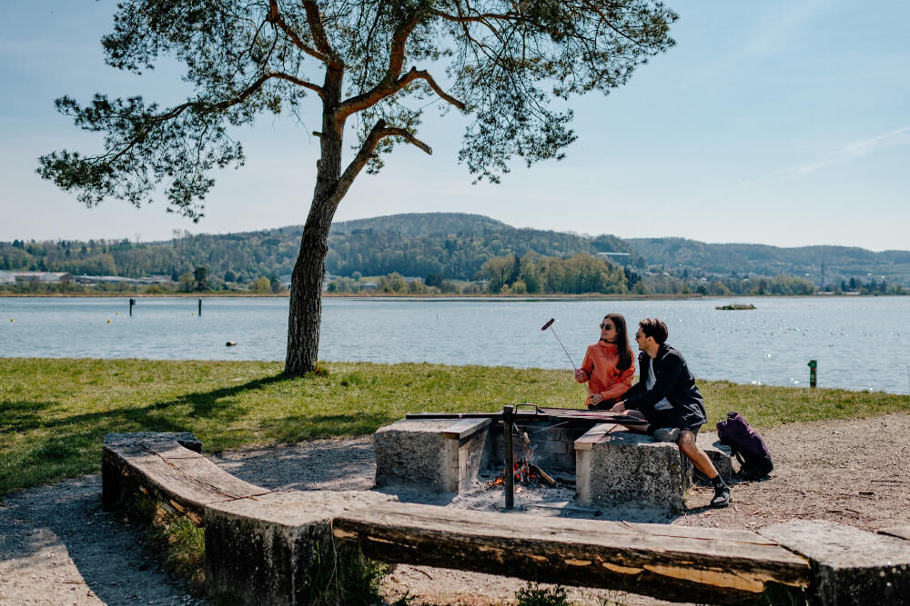
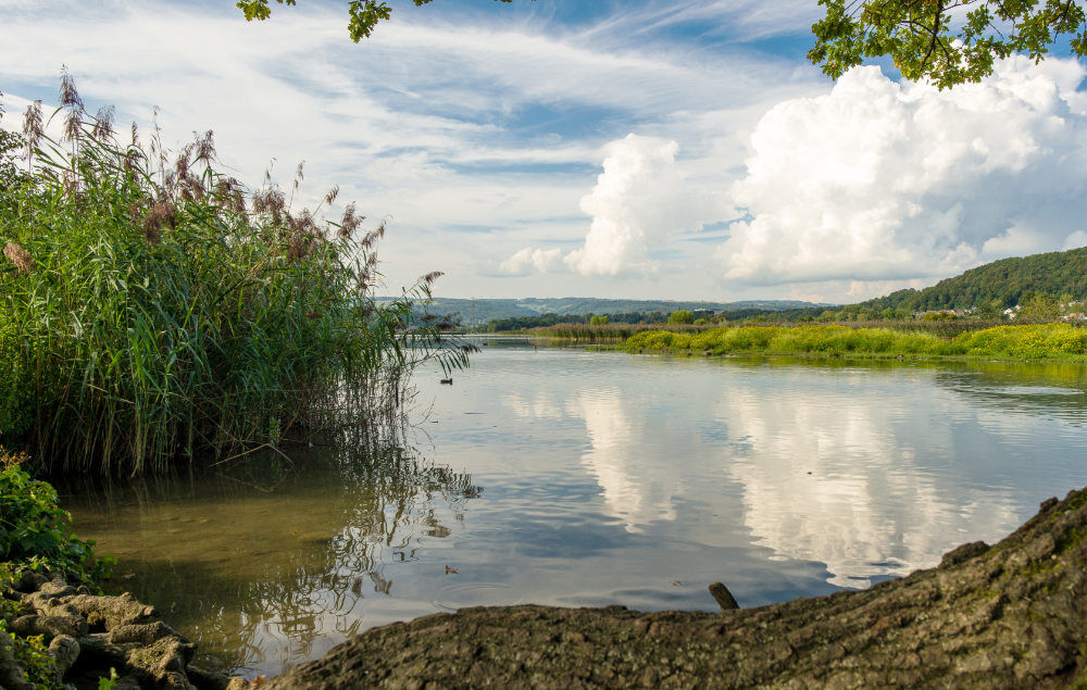
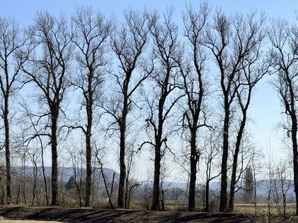
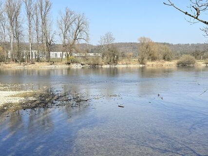
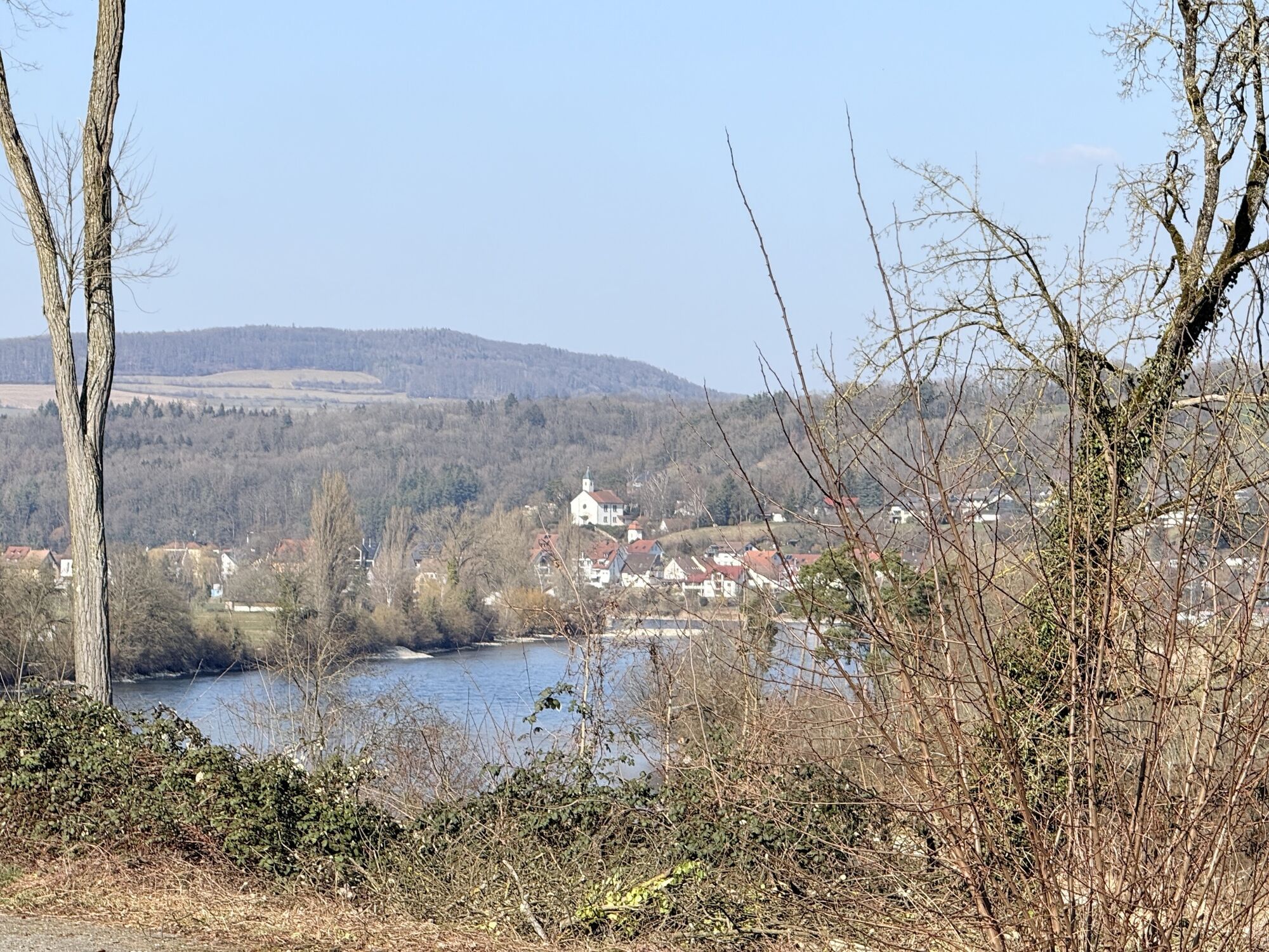
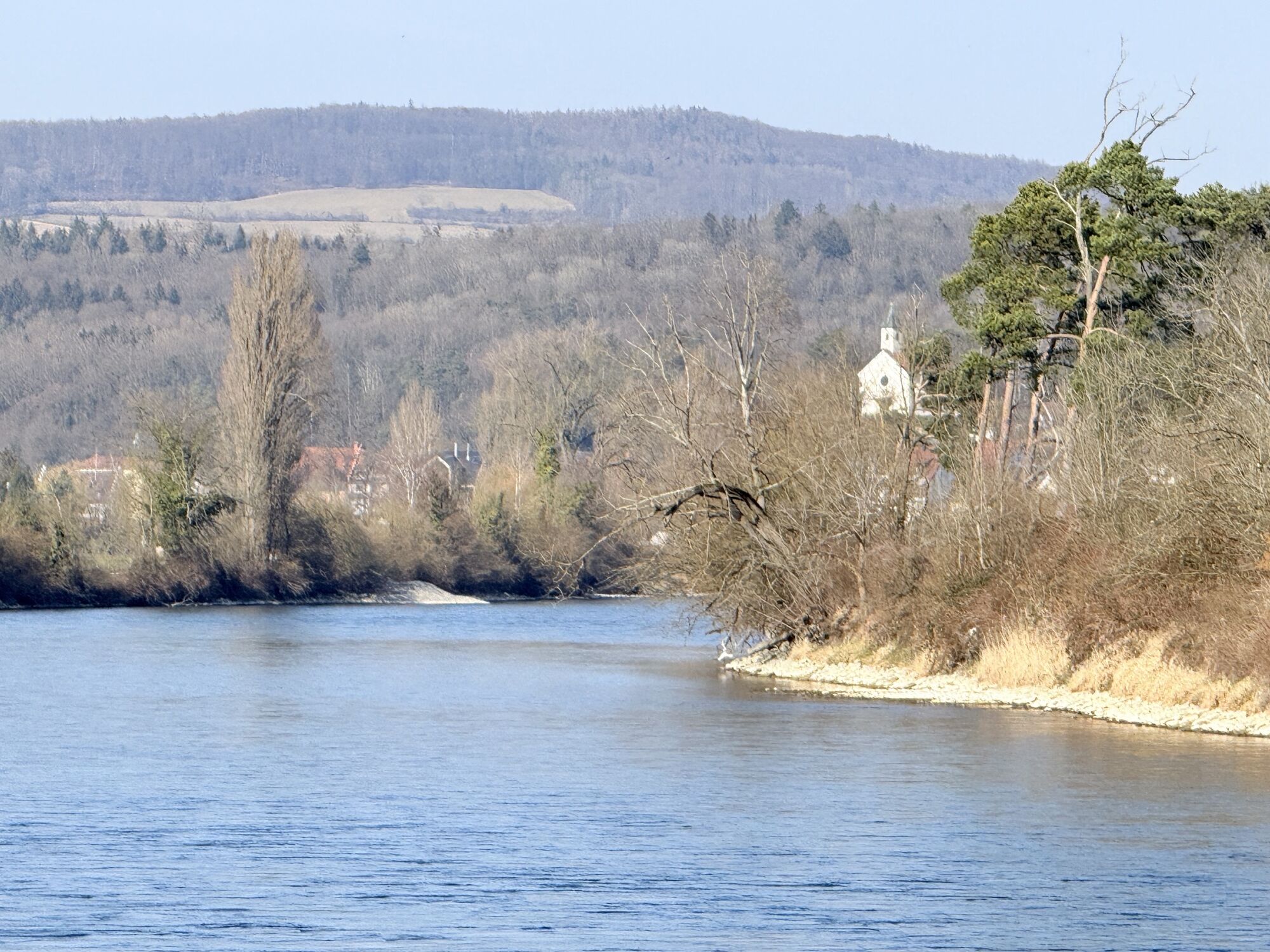
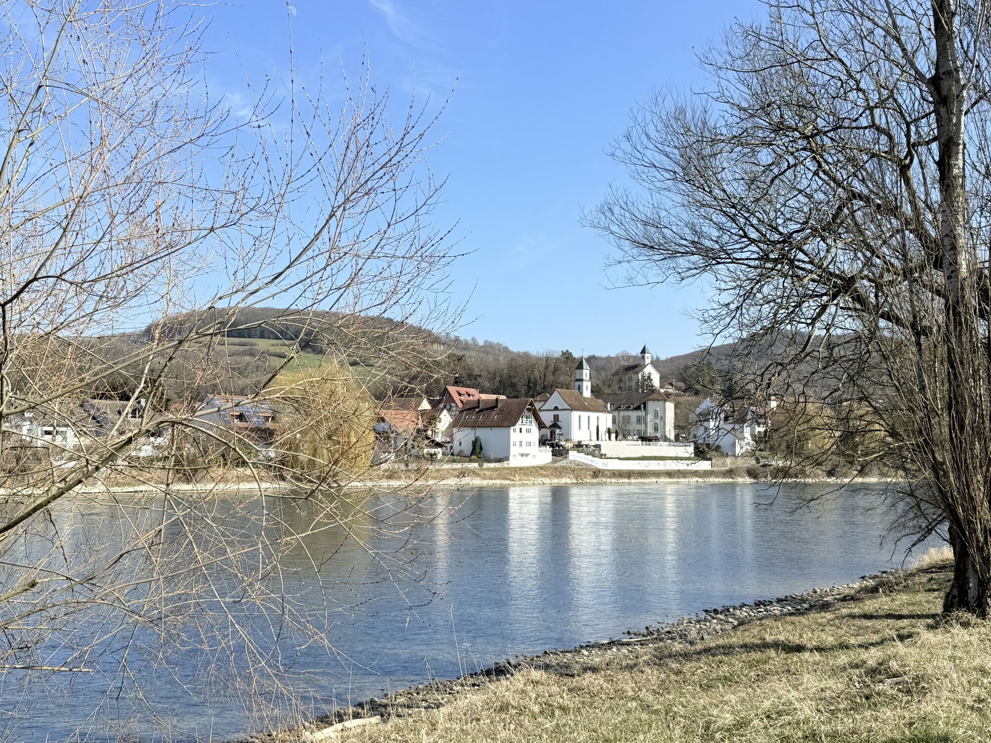
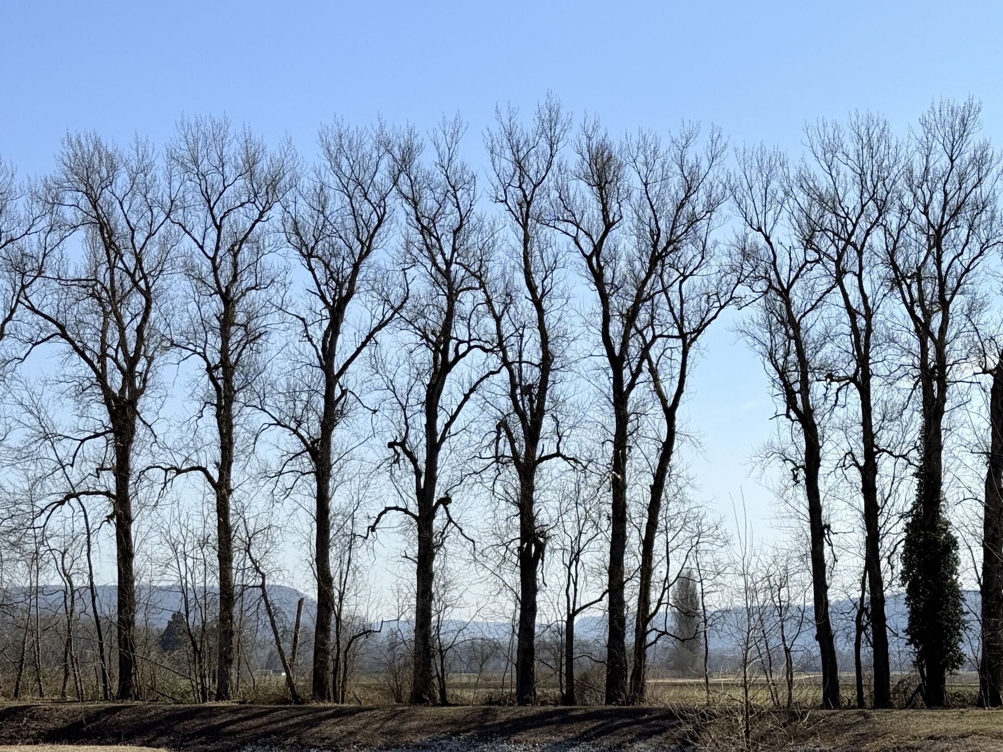
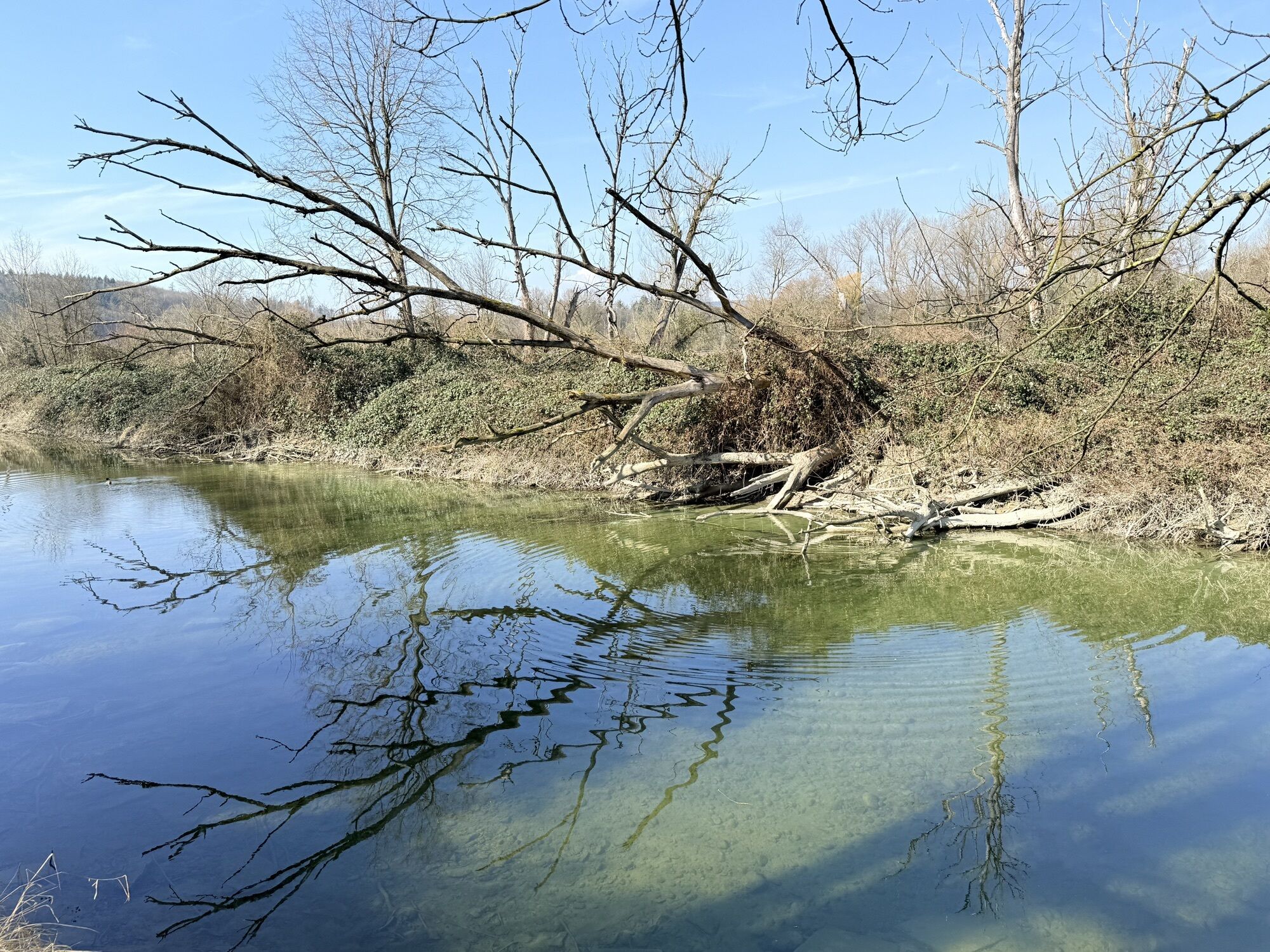
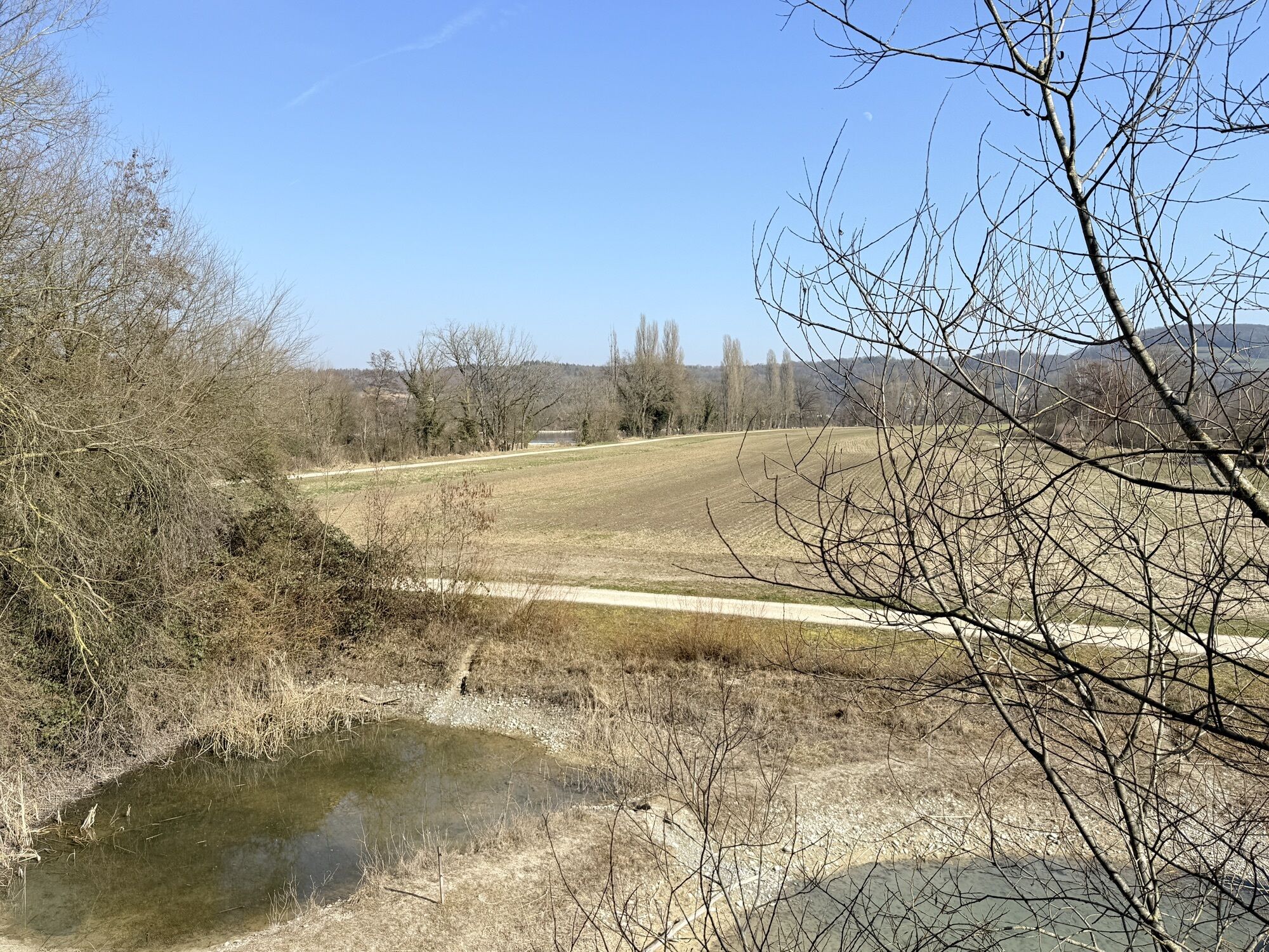
The hike starts at the station in Bad Zurzach and leads past Bad Zurzach Castle to the bank of the Rhine. Then you follow the Aargau High Rhine downstream to the floodplain "Chly Rhy" in Rietheim. After crossing the floodplain, you continue to follow the river to Koblenz, where the Aare flows into the Rhine. From there, you follow the path along the Klingnauer Reservoir to the station in Döttingen.
Áno
Áno
From Baden, Bad Zurzach can be reached in 25 minutes, from Zurich or Kloten Airport in 35 minutes, from Schaffhausen in 40 minutes, from Basel in 60 minutes, from Lucerne in 70 minutes and from Bern in 90 minutes.
From Baden, you can reach Döttingen in 30 minutes, from Zurich or Kloten Airport in 60 minutes, from Schaffhausen in 60 minutes, from Basel in 60 minutes, from Lucerne in 80 minutes and from Bern in 100 minutes.
You can reach the station in Bad Zurzach and the station in Döttingen by train or post bus.
Parking is available at both stations.
Maps can be obtained from Bad Zurzach Tourism.
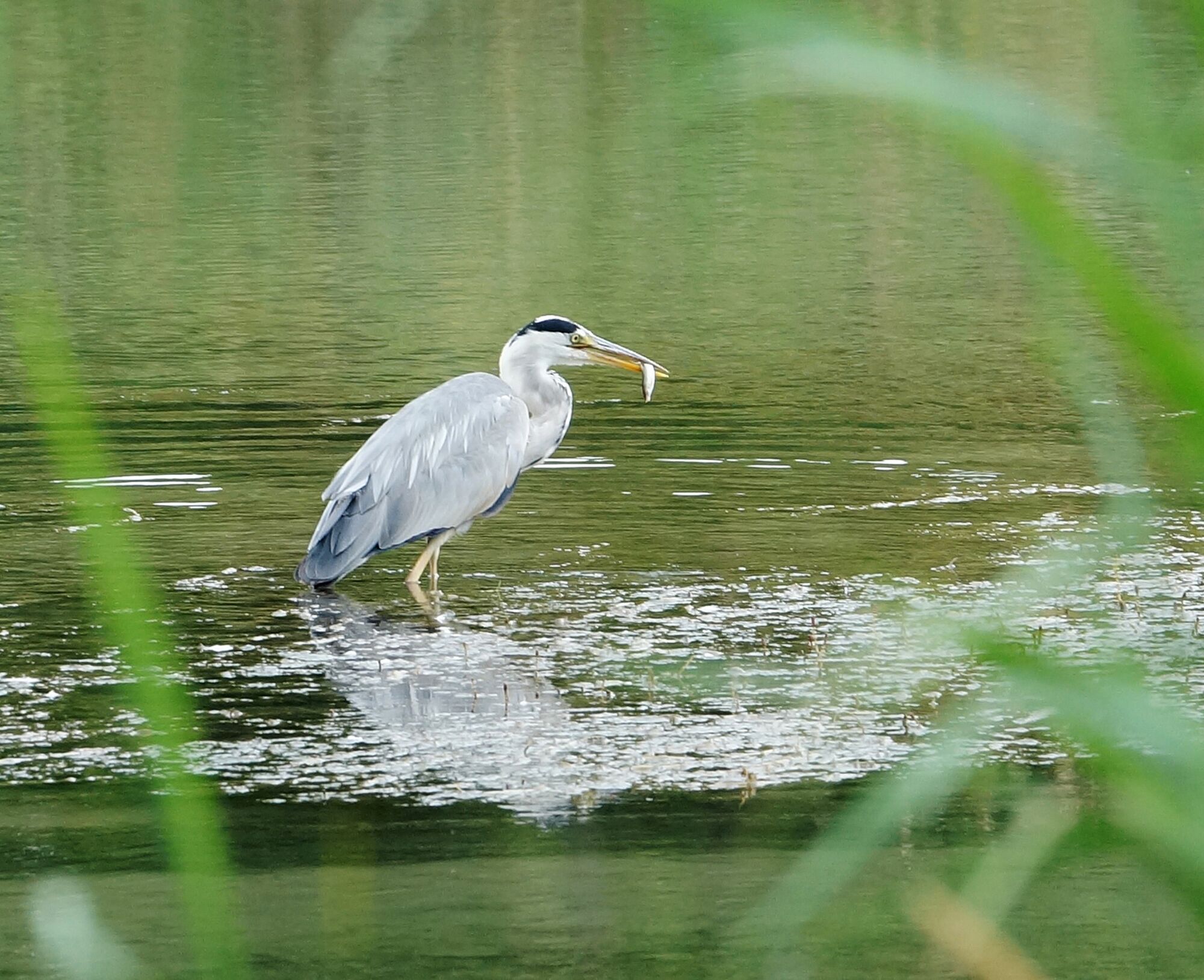
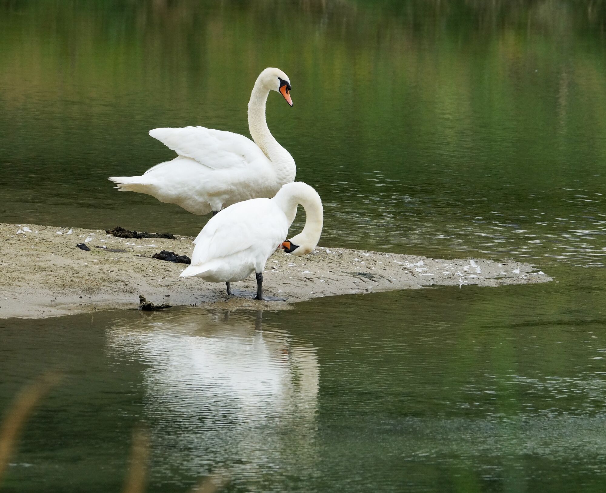
A visit to the BirdLife Nature Center Klingnauer Reservoir is worthwhile for both young and old.
Obľúbené výlety v okolí
-
3,8
Chänzeli -Tour: Eine Panorama - Stadtwanderung
svetloTuristika 7,81 km -
4,0
Cross-border Rhine riverside path
svetloTuristika 7,81 km -
Around the Klingnau reservoir
svetloTuristika 10,7 km -
Bad Zurzach-Achenberg-Zurzacherberg-Bad Zurzach
strednáTuristika 8,74 km -
5,0
Zum Höllbachfall im Hotzenwald
strednáTuristika 5,16 km -
From water to wine and back
strednáCestný bicykel 39,2 km -
Klingnauer Reservoir
svetloCestný bicykel 24,4 km -
5,0
Amazon hike
strednáTematická trasa 20,2 km -
Rundkurs mit Start & Ende in Endingen
svetloTuristika 12,2 km -
4,0
E-bike route through the Zurzibiet
strednáCyklistika 42,9 km
Turistika a stopovanie


Nenechajte si ujsť ponuky a inšpiráciu na ďalšiu dovolenku
Vaša e-mailová adresa bol pridaný do poštového zoznamu.