


Jura Ridgeway: From Baden to the Geissfluegrat
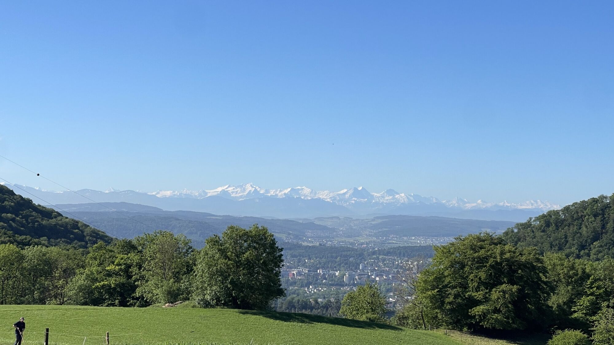


The route starts in the well-known spa town but nature is not far behind. Soon the path leads up to the Gebenstorf Horn, where there is a magnificent view of Switzerland's unique water castle. Here the...
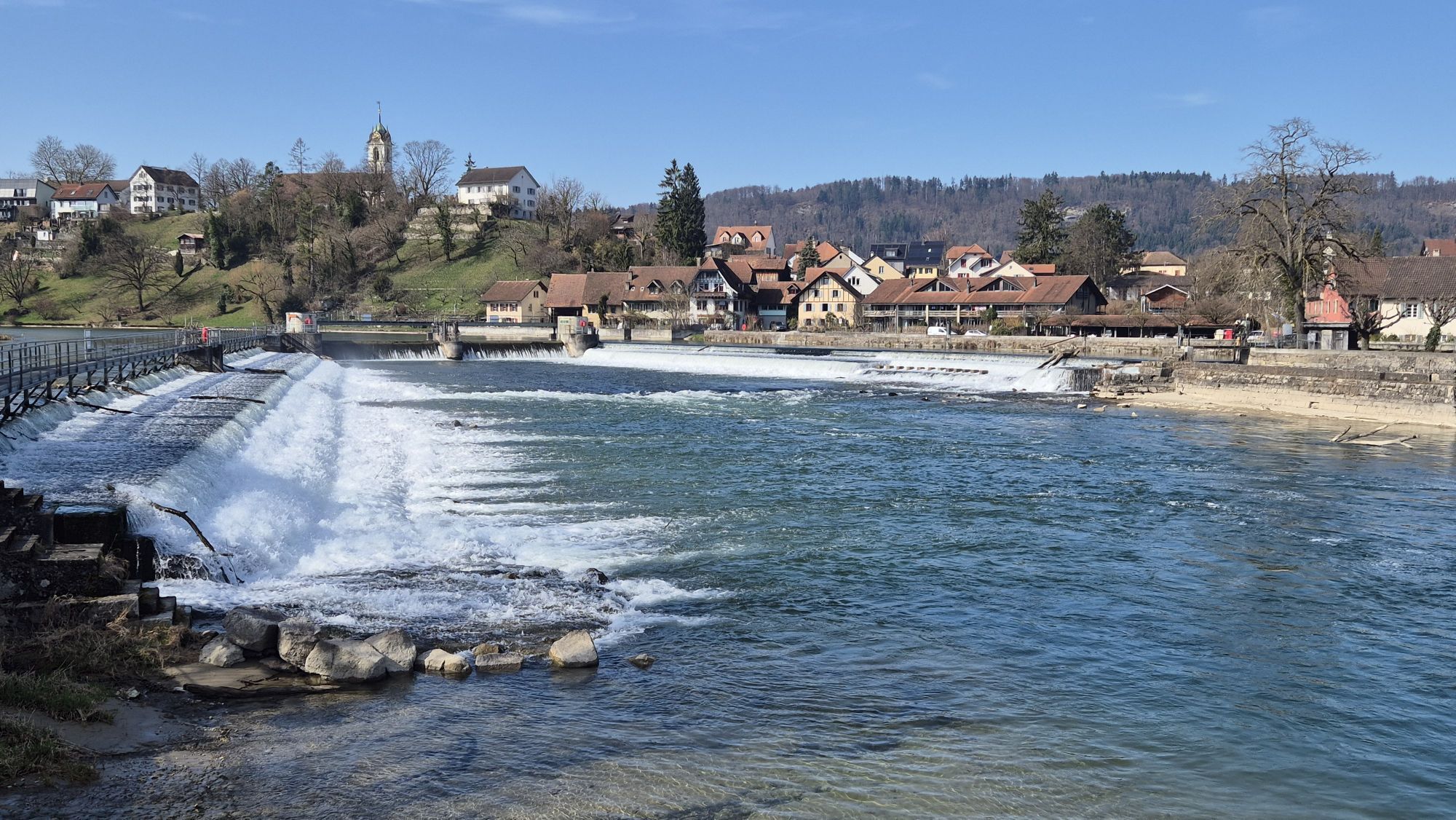
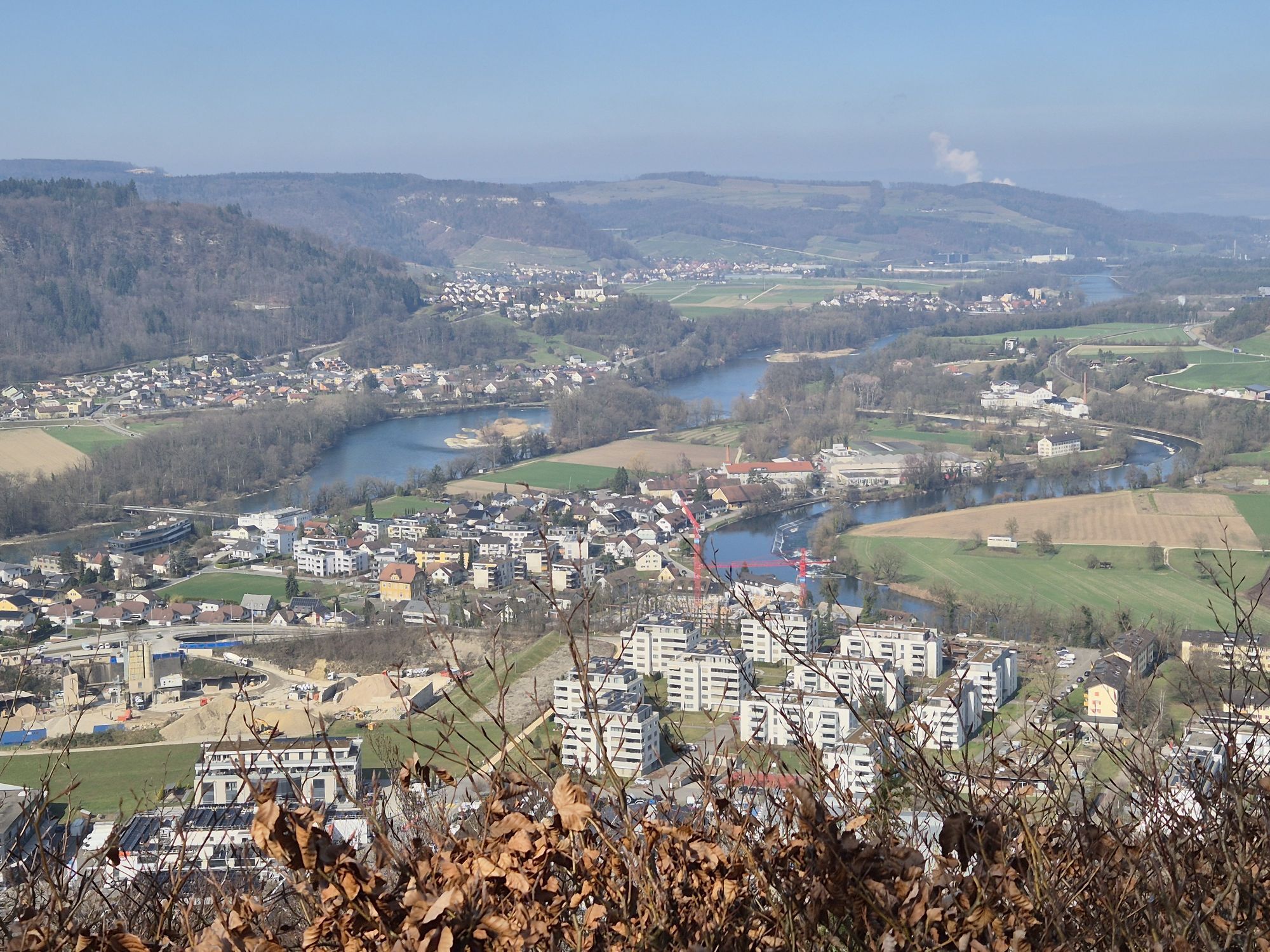
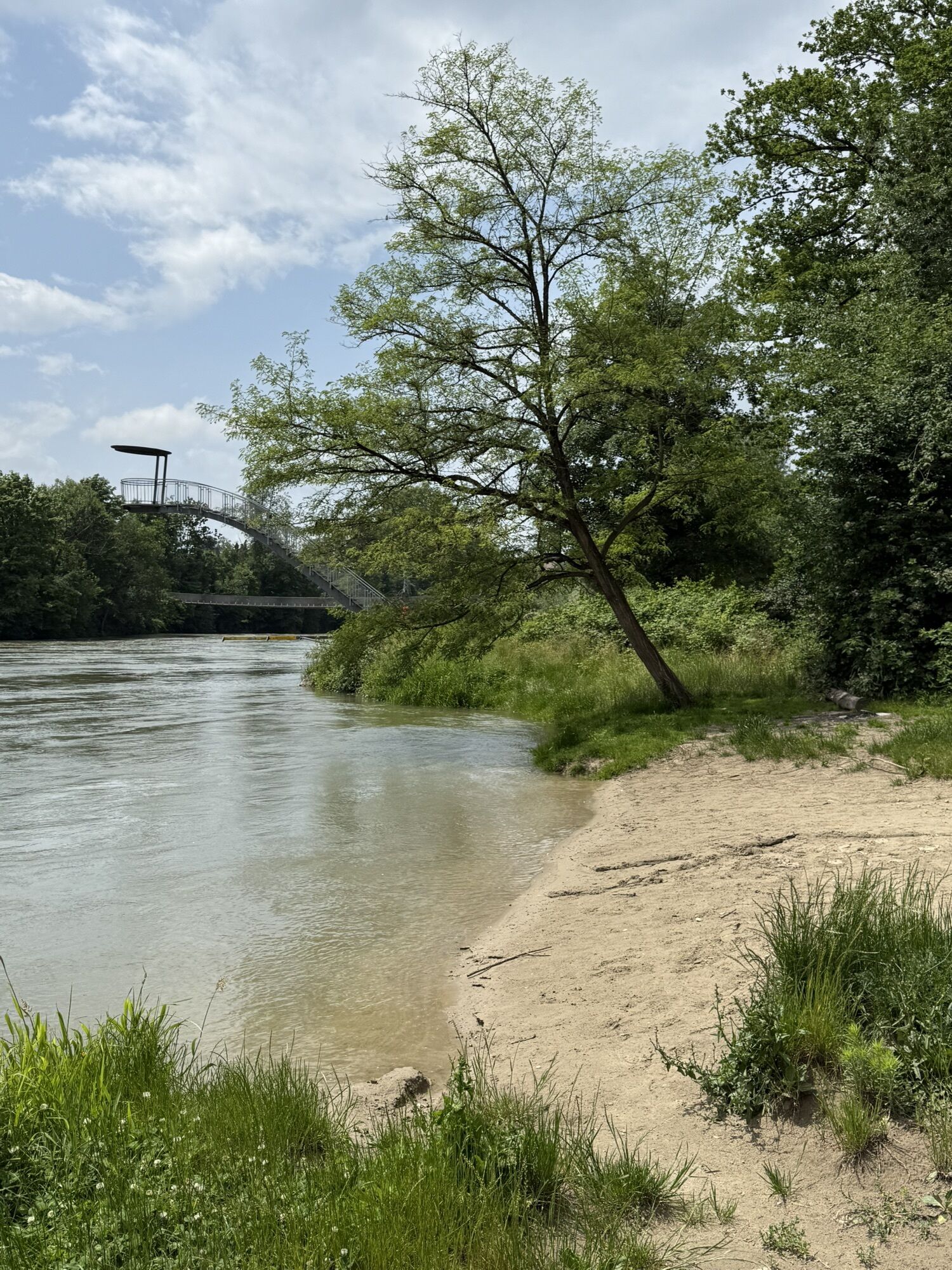
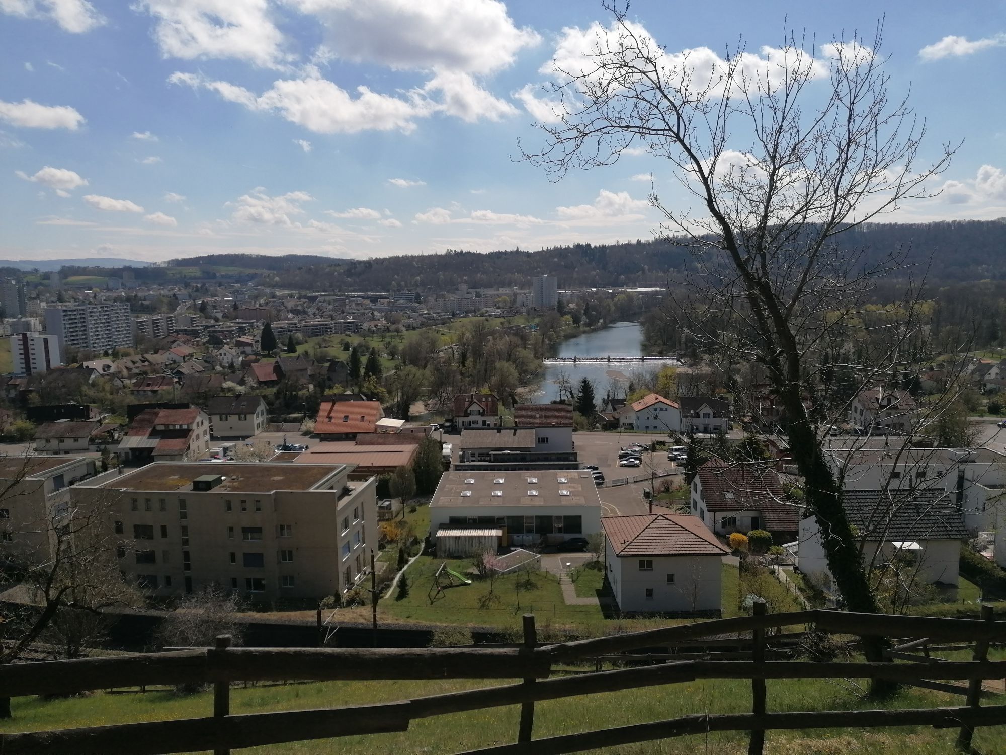
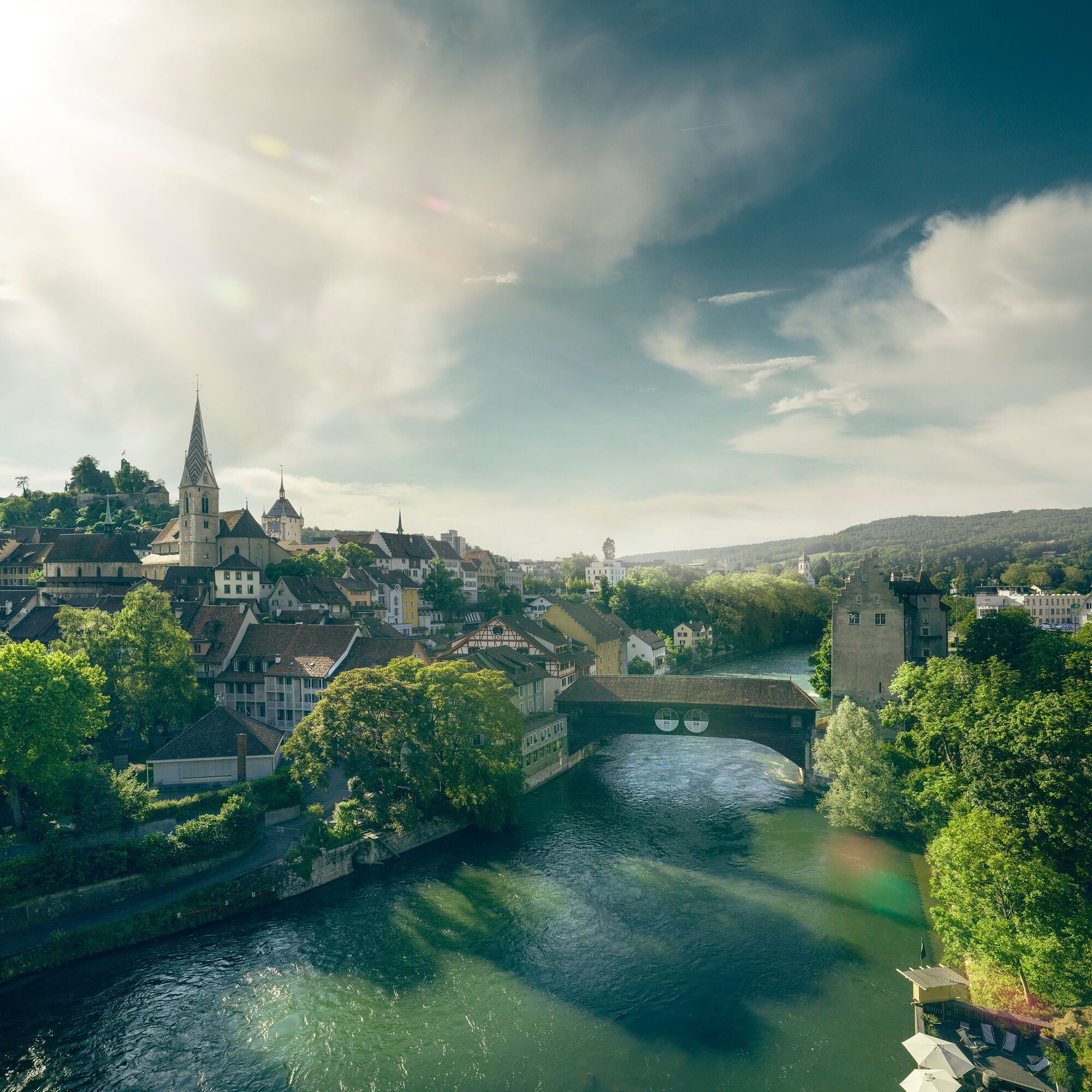
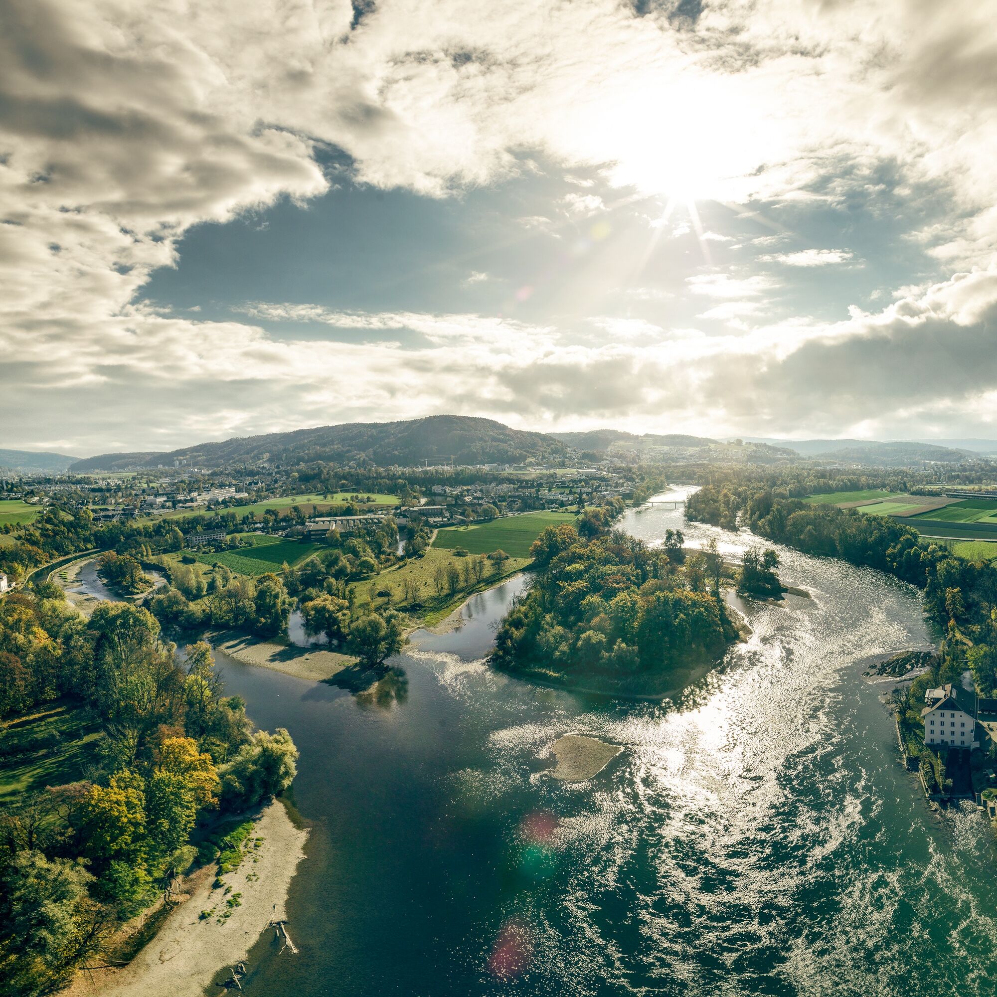
The route starts in the well-known spa town but nature is not far behind. Soon the path leads up to the Gebenstorf Horn, where there is a magnificent view of Switzerland's unique water castle. Here the mighty rivers Aare, Reuss, and Limmat converge.
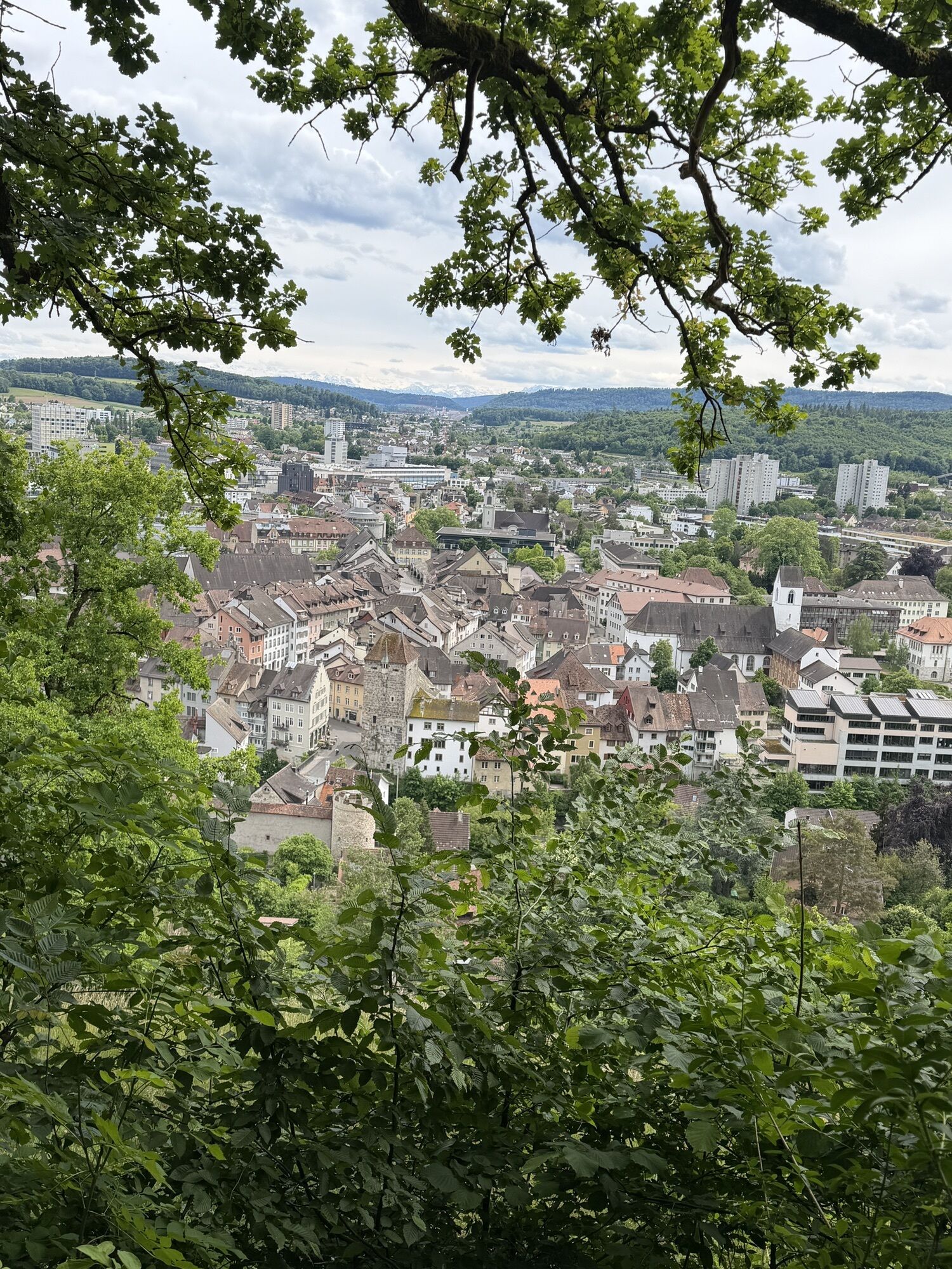
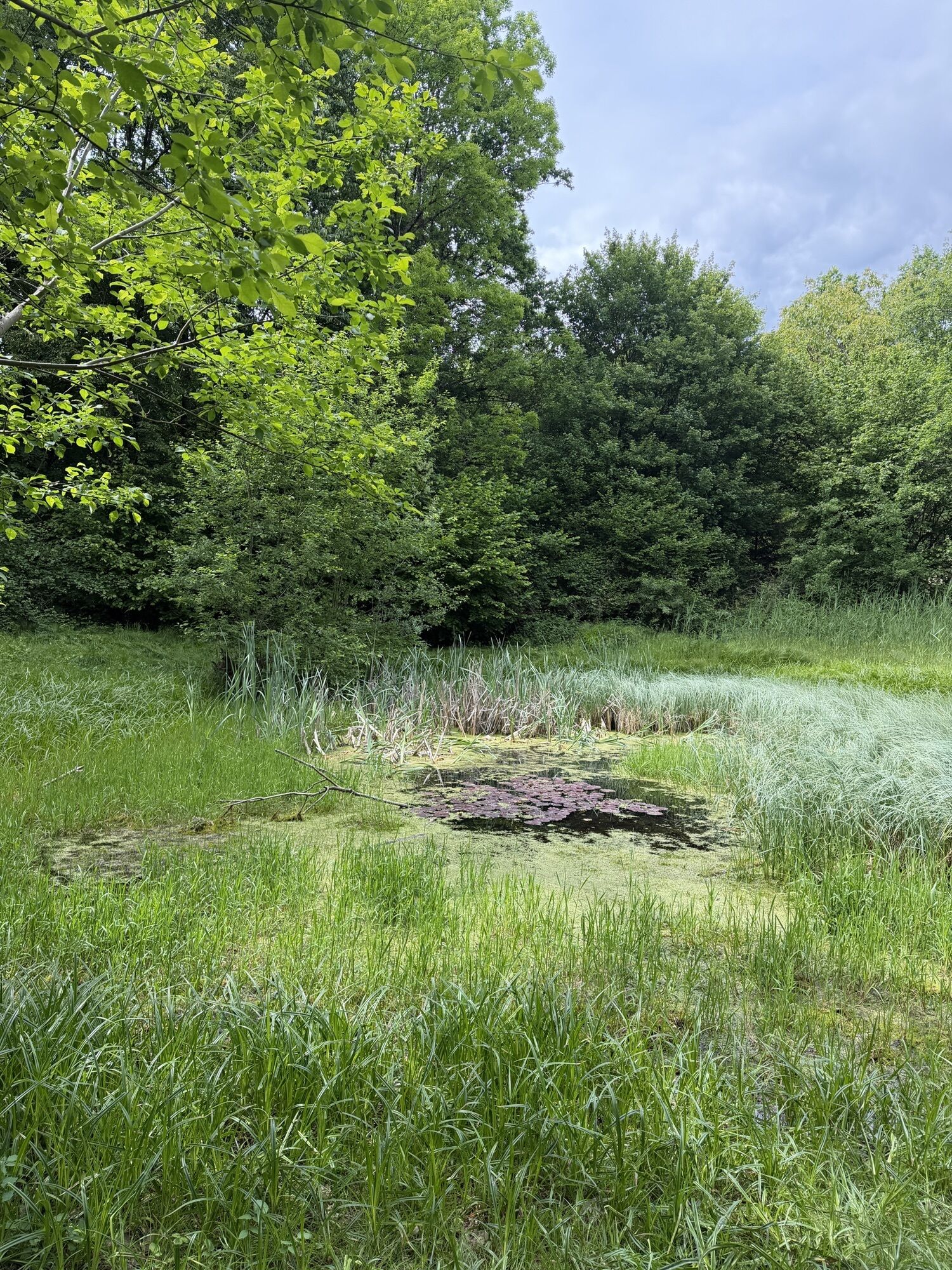
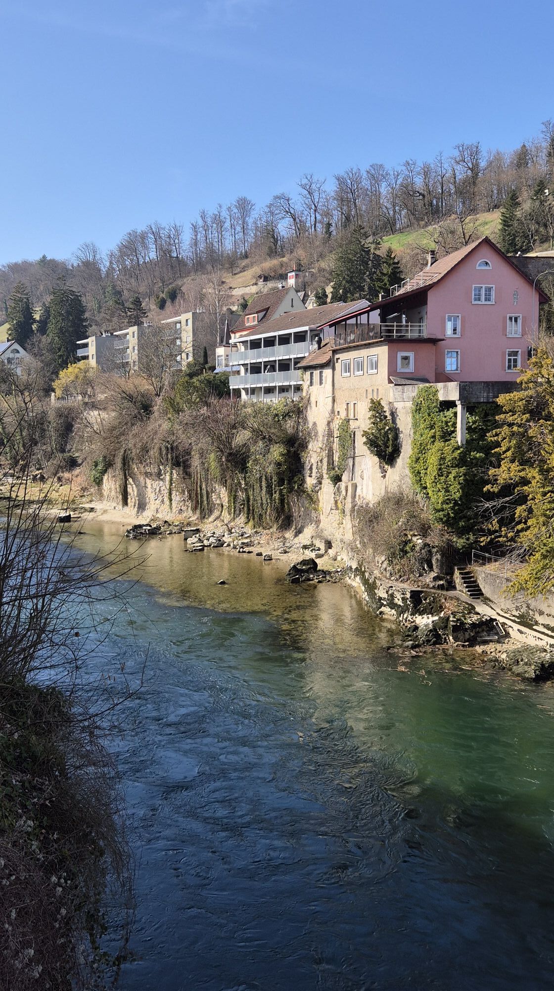
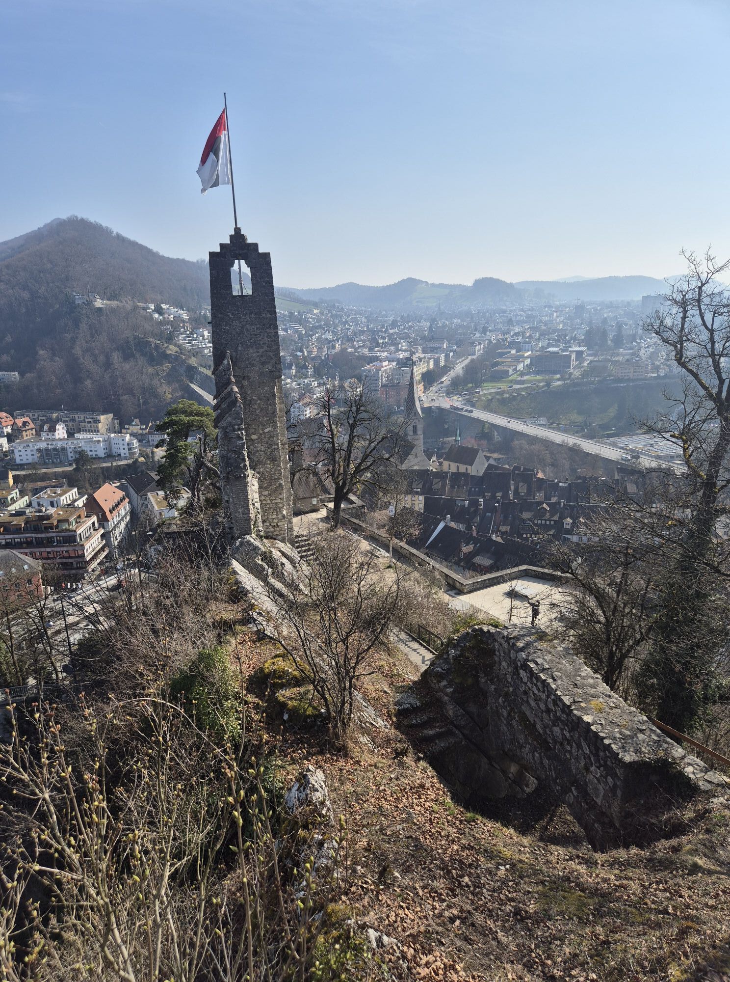
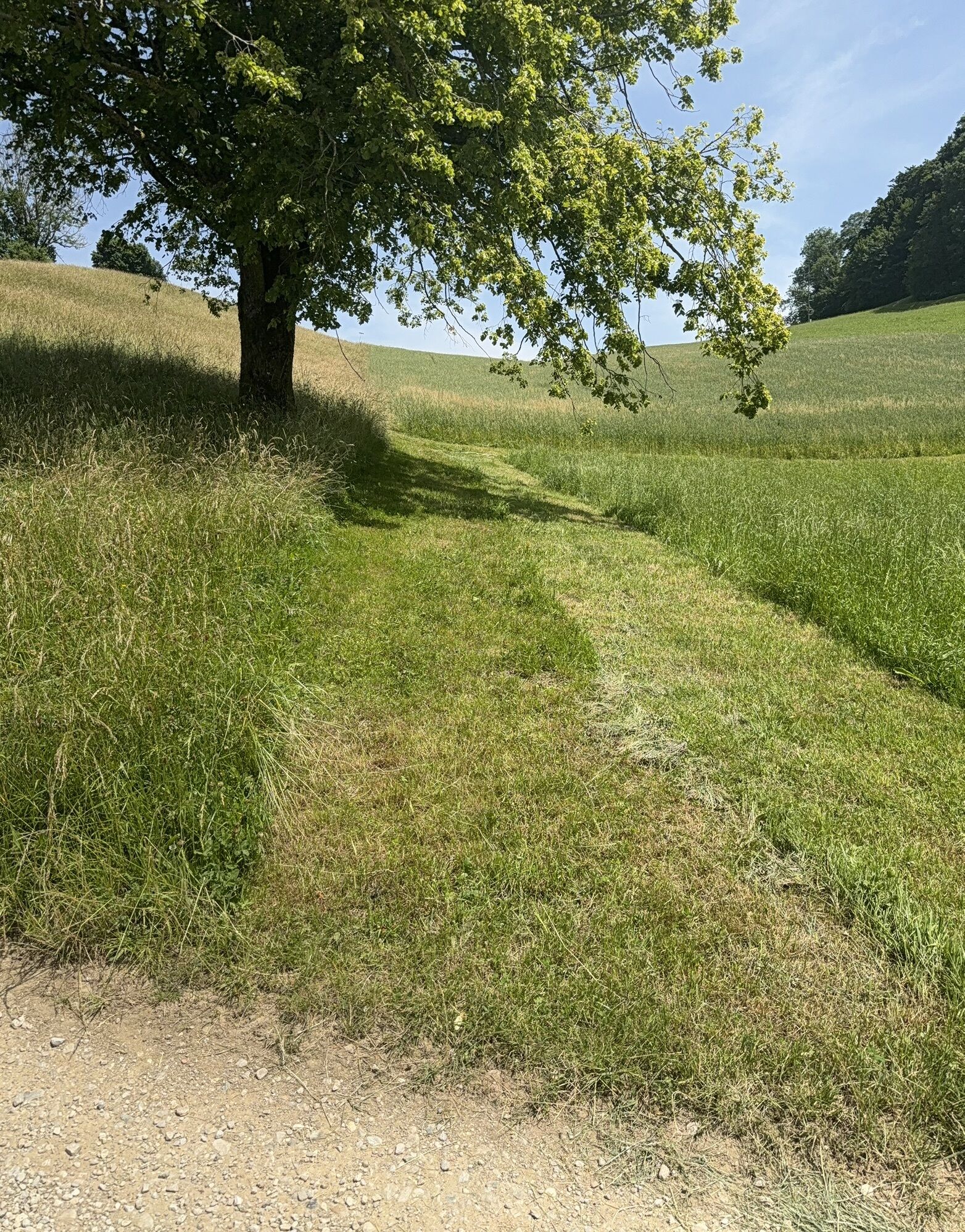
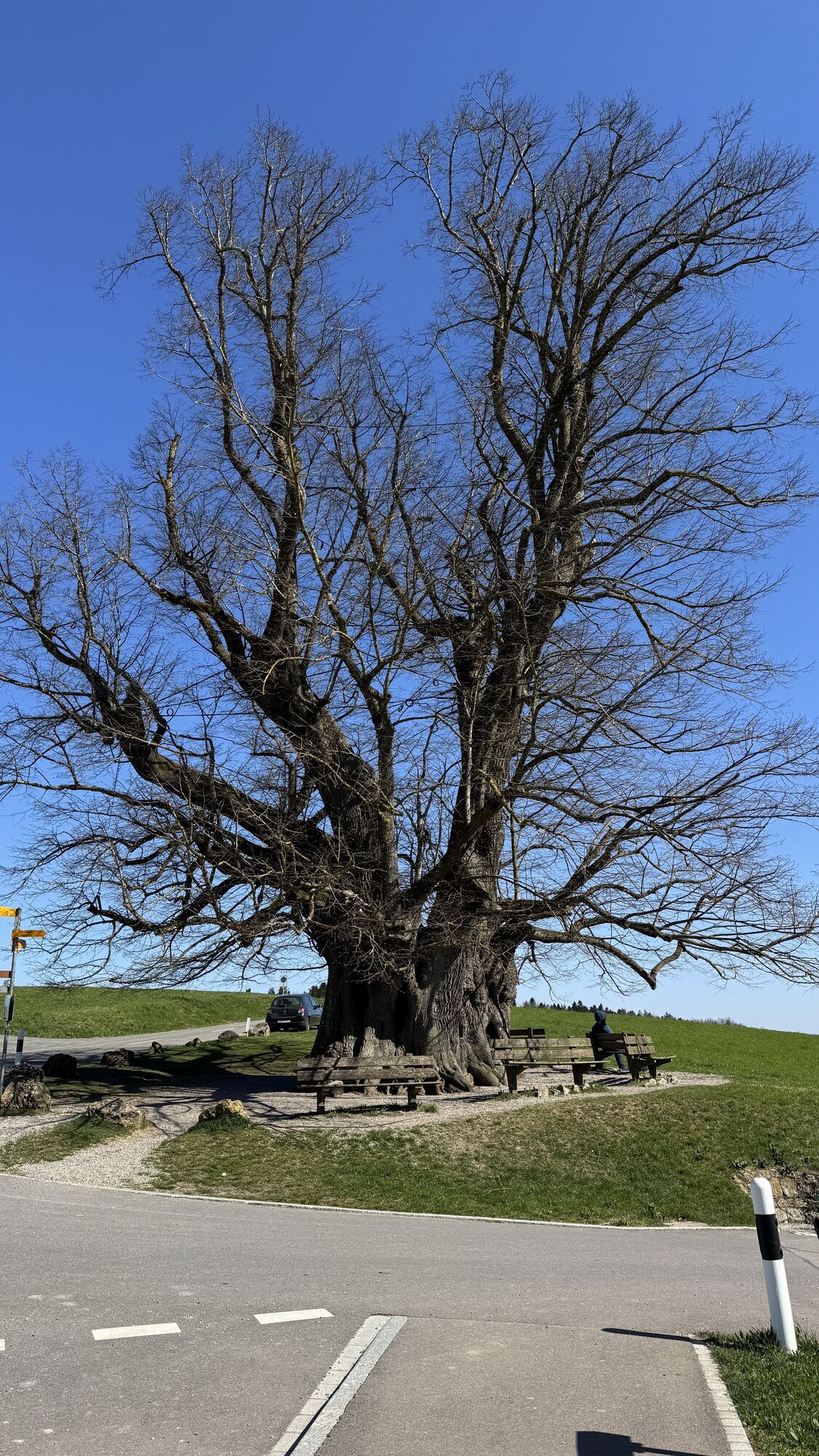
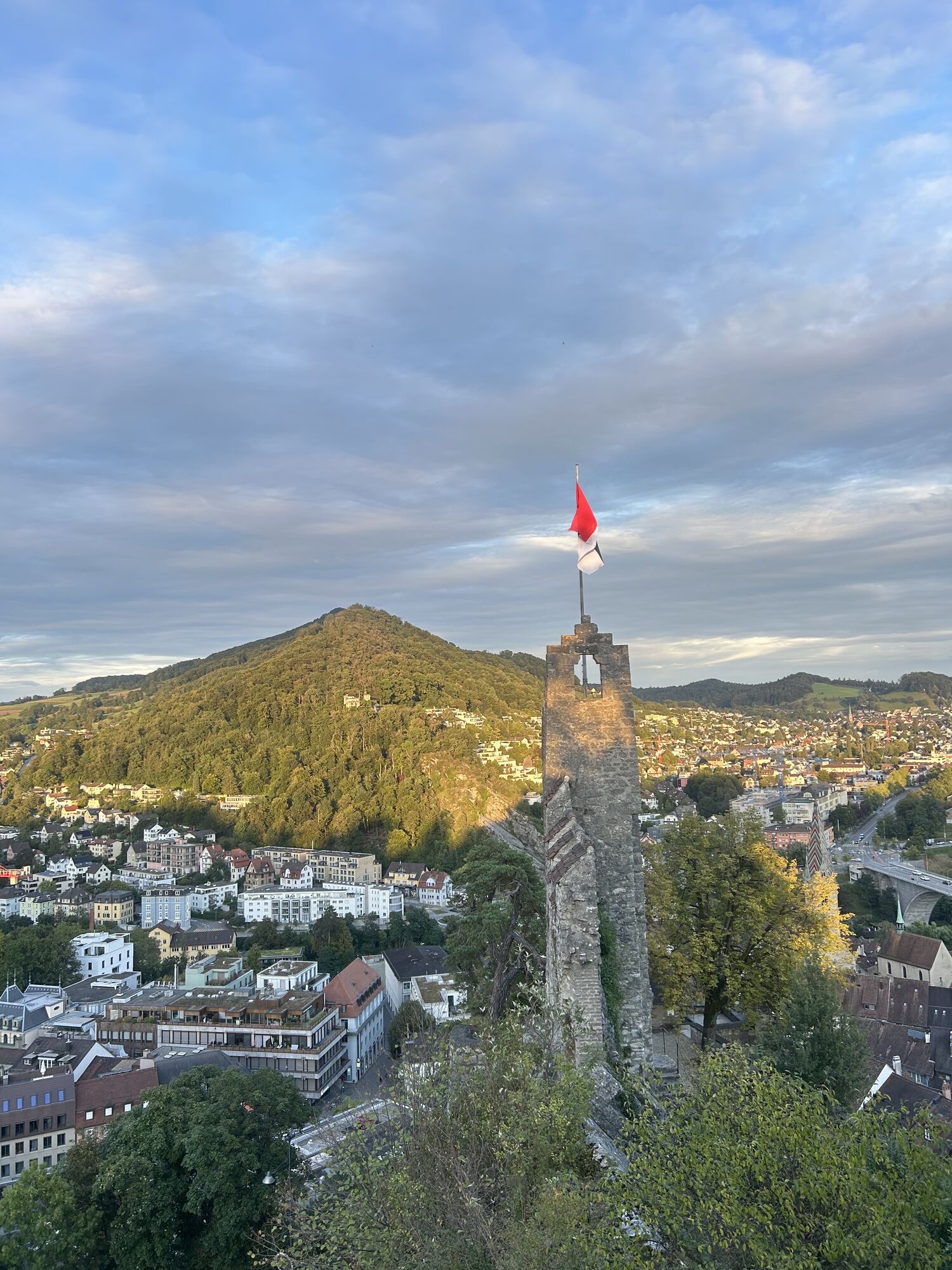
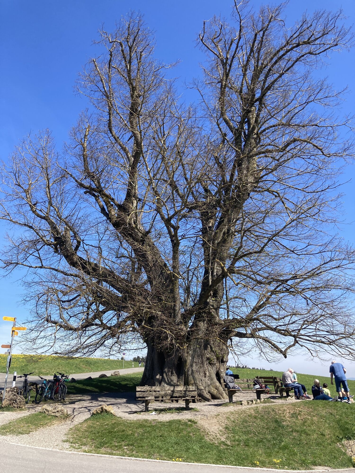
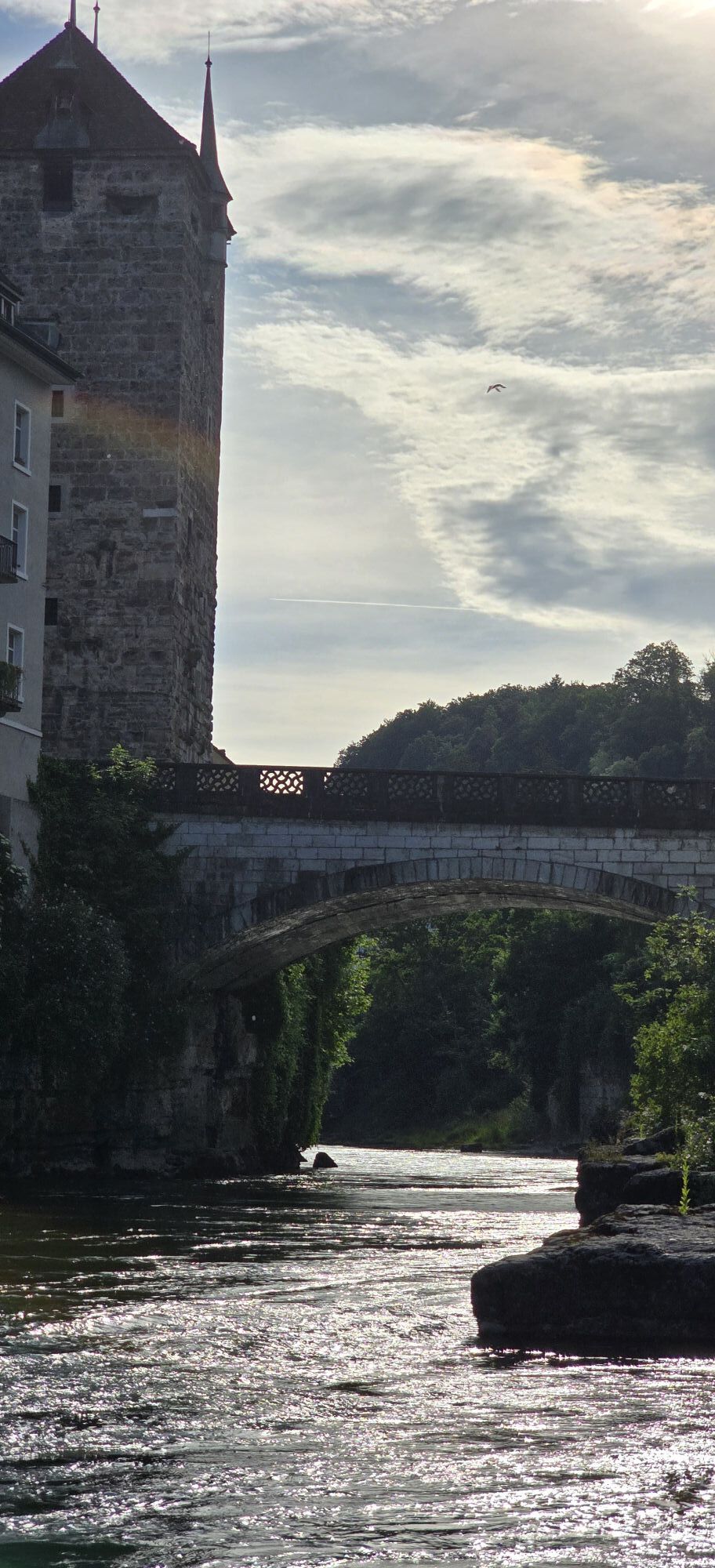
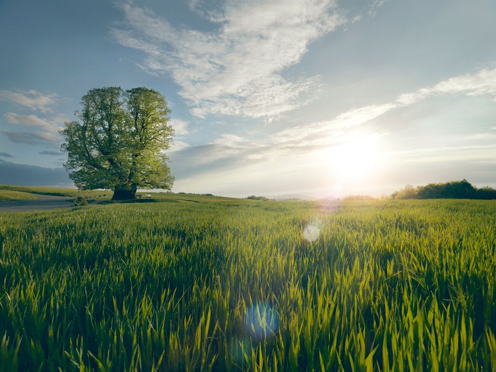
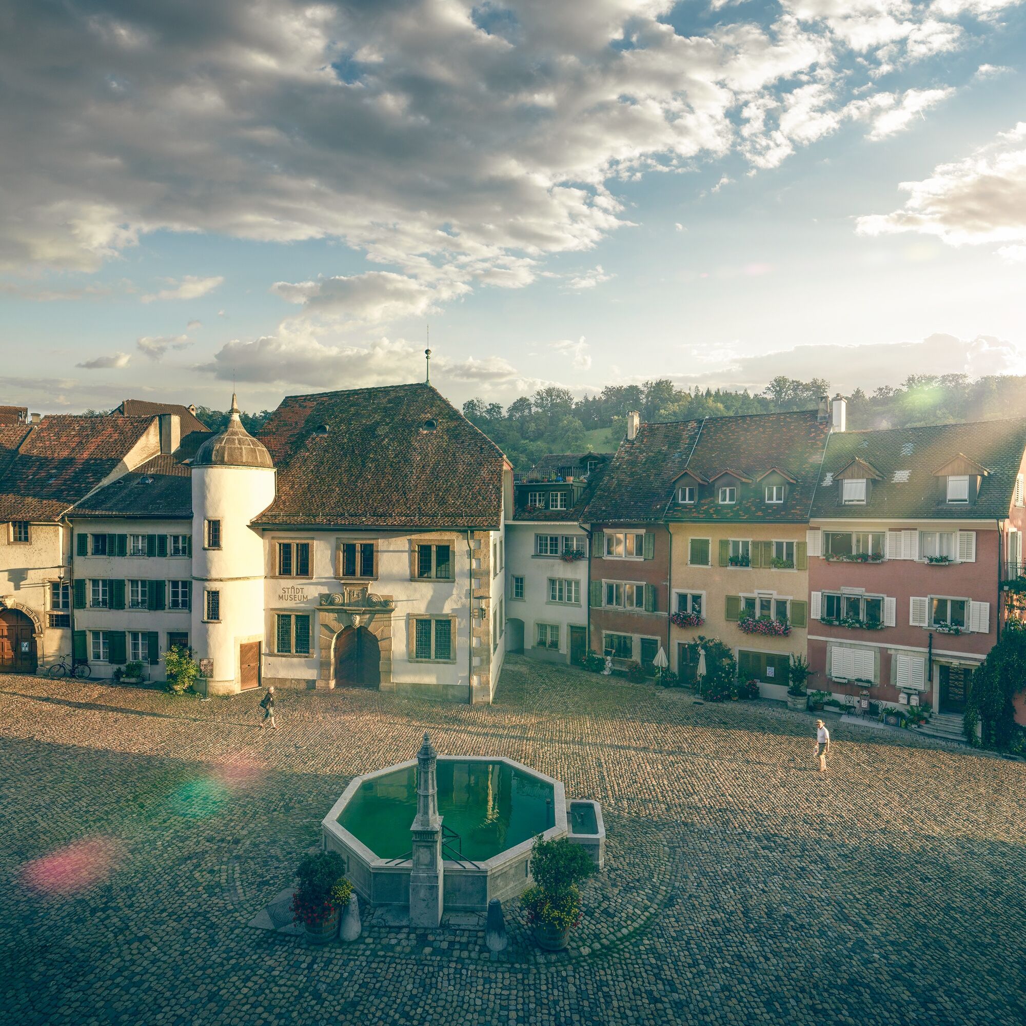
Following the Aare, the route passes the old town of Brugg before entering the Jurapark Aargau, a regional nature park. The path leads through shady forests to the distinctive lime tree of Linn, a legendary summer lime tree that with a height of 25 meters and a trunk circumference of 11 meters is considered the mightiest tree in the canton. The benches beneath the leafy canopy invite a relaxing break before the final section.
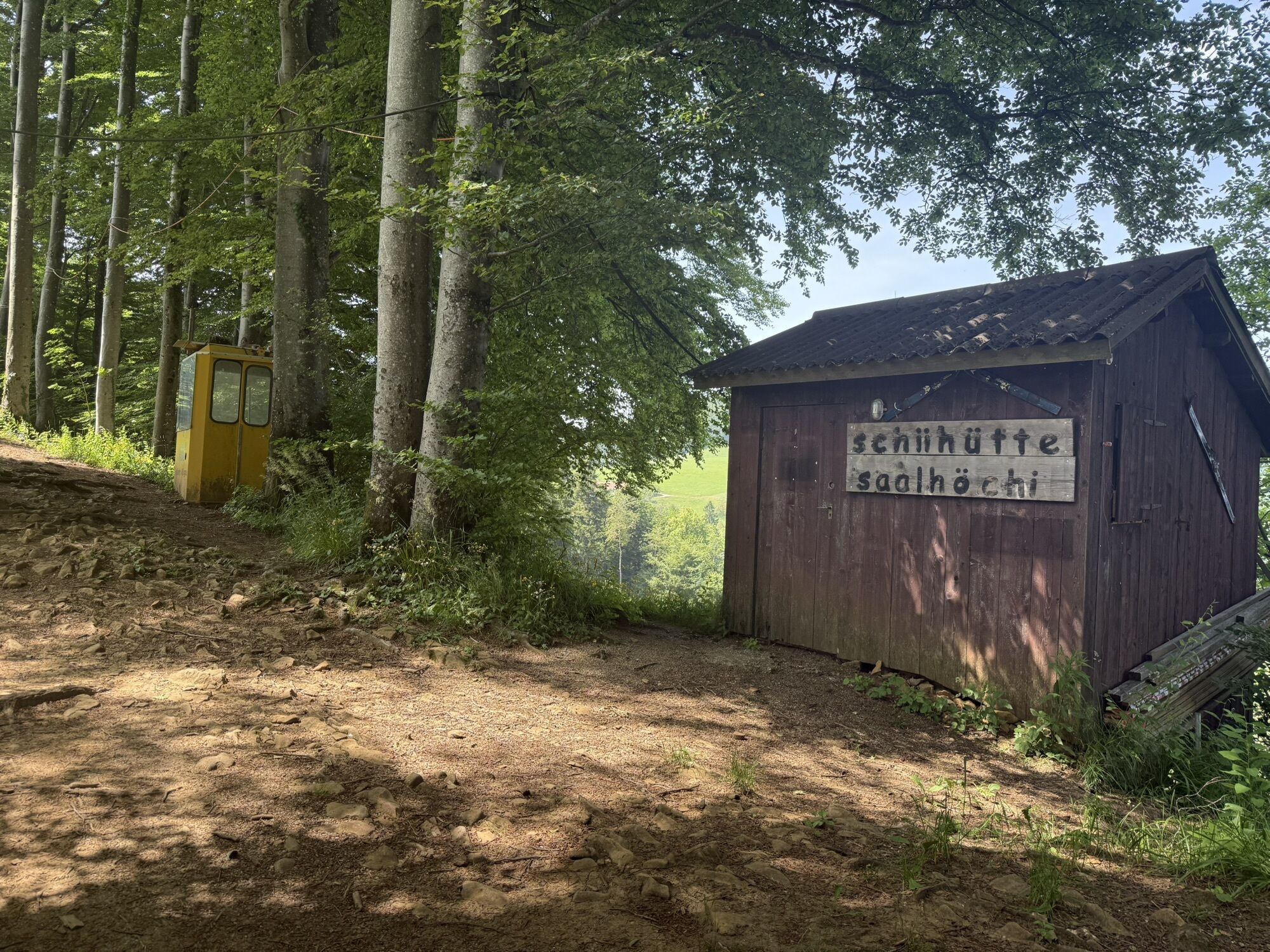
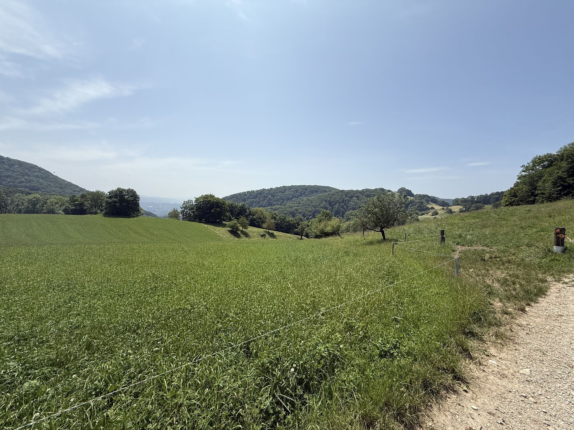
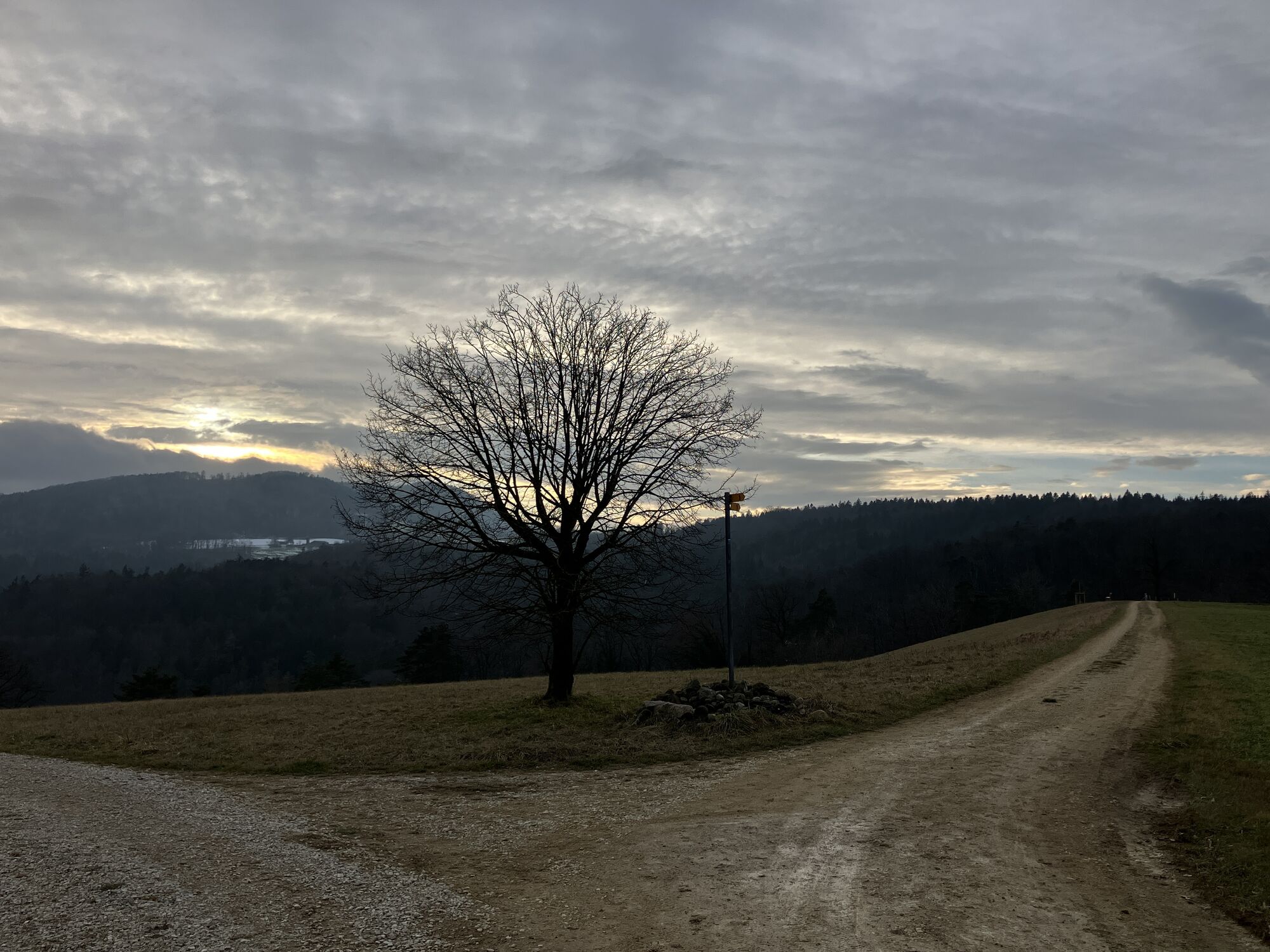
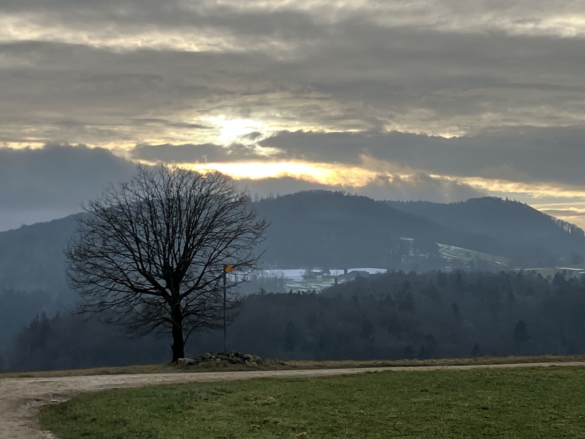
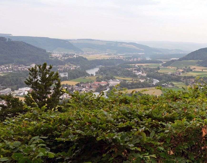
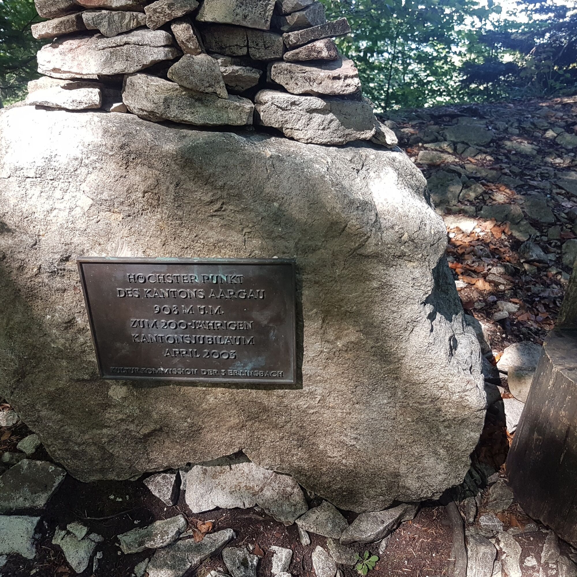
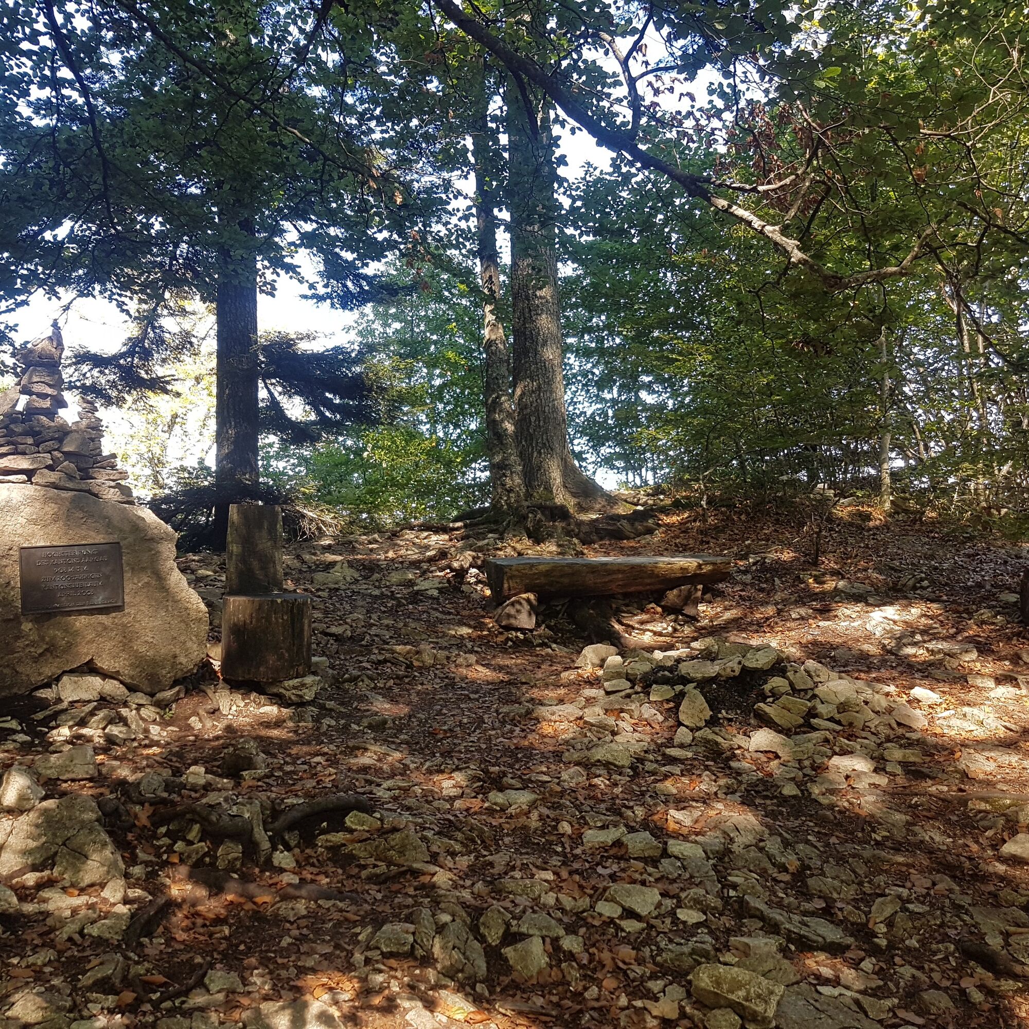
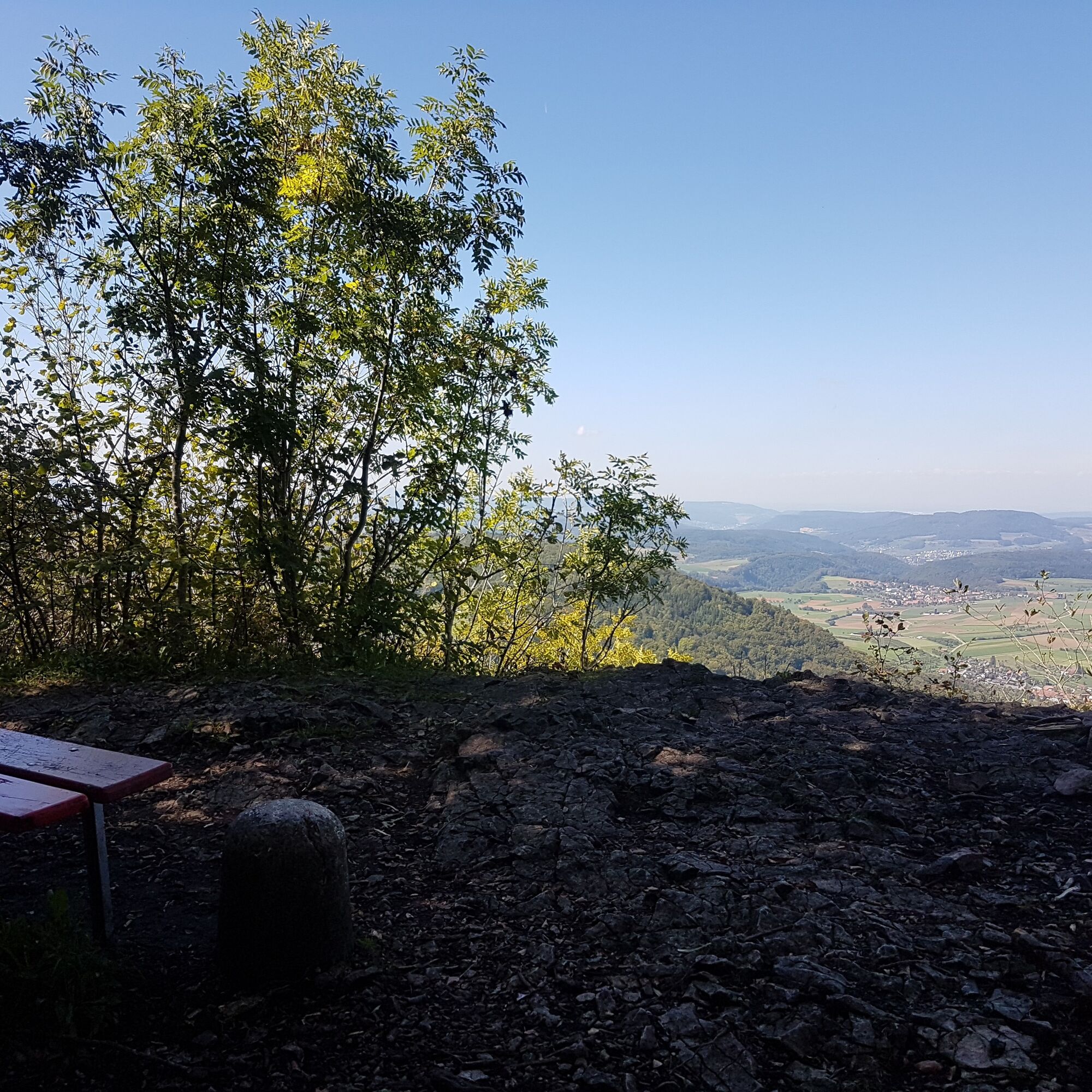
Now the name becomes reality: three passes must be crossed. From Staffelegg, the path leads through idyllic landscapes over the Benkerjoch to the Salhöhe. From there, it passes the Geissfluegrat, the highest point in Aargau, and continues to the Klinik Barmelweid.

Sturdy footwear, weather-appropriate clothing, water
Travel by public transport is recommended.
Baden Train Station
Bus stop «Klinik Barmelweid»
Webové kamery z prehliadky
Aktivity počas prehliadky

Obľúbené výlety v okolí
-
3,8
Chänzeli -Tour: Eine Panorama - Stadtwanderung
svetloTuristika 7,81 km -
4,7
Gisliflue & Gratwanderung, Schweiz
strednáTuristika 8,59 km -
4,8
Hüslischnegg am Asperstrihen
strednáTuristika 5,05 km -
Linner Wasserfall
svetloTuristika 4,67 km -
4,1
Linn - Effingen - Bruderhöhle - Gallenkirch
strednáTuristika 7,88 km -
5,0
Schinznach Bad - Brugg, Schweiz
svetloTuristika 10,5 km -
2,0
Staffelegg - Ruine Schenkenberg - Thalheim
svetloTuristika 6,96 km -
5,0
Limmat Cultural Route
svetloTematická trasa 8,77 km -
3,0
Rundwanderung Seengen, Aargau
svetloTuristika 15 km -
5,0
Staffelegg-Hauenstein, Schweiz
strednáTuristika 21,3 km

Turistika a stopovanie


Nenechajte si ujsť ponuky a inšpiráciu na ďalšiu dovolenku
Vaša e-mailová adresa bol pridaný do poštového zoznamu.