







With perseverance to Chinzig Chulm

The Chinzig Chulm has currently become an insider tip among bikers. Although it was committed more than 4000 years ago, the pass only enters history with the passage of the Russian general Suworow in 1799....
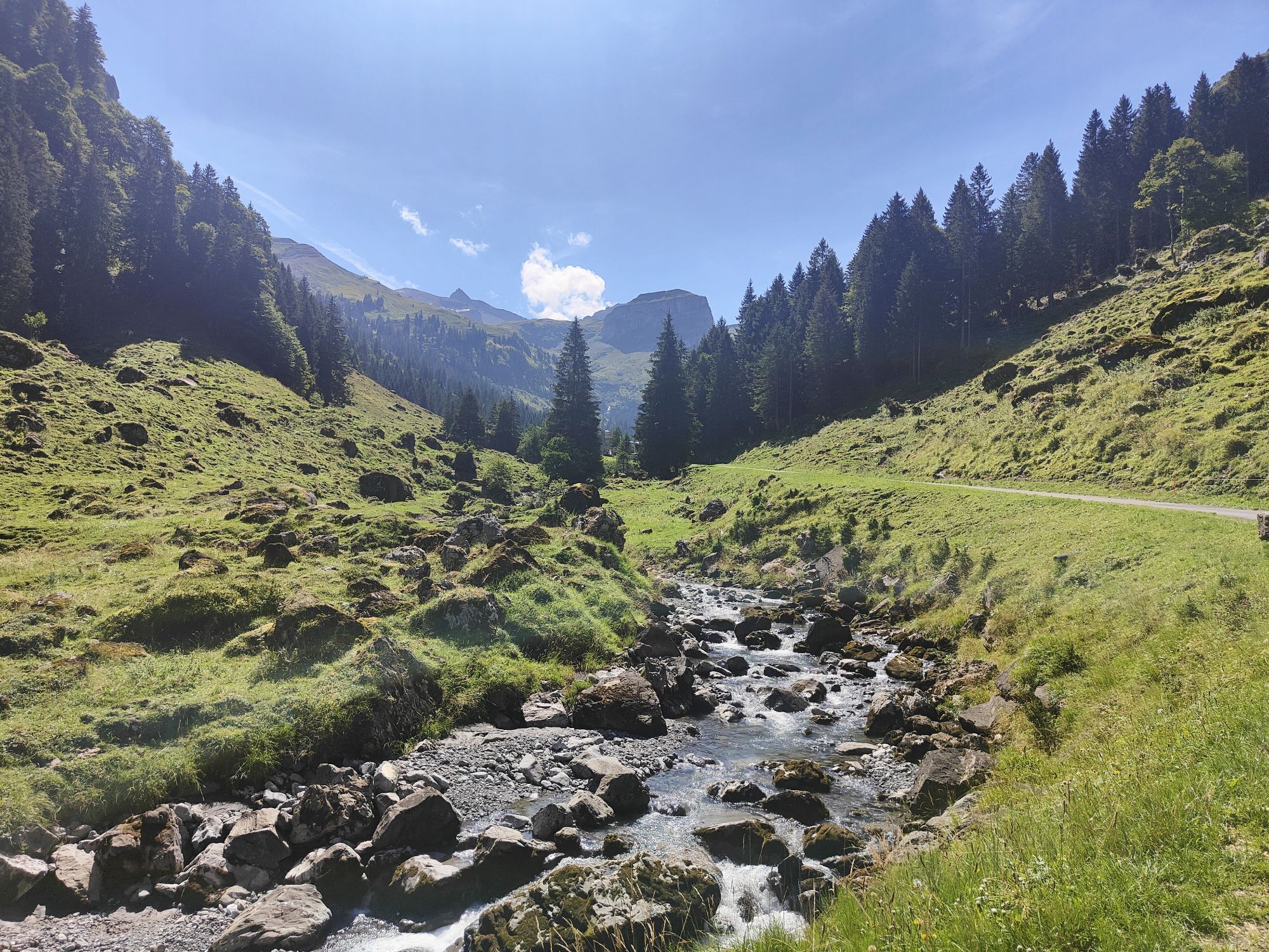
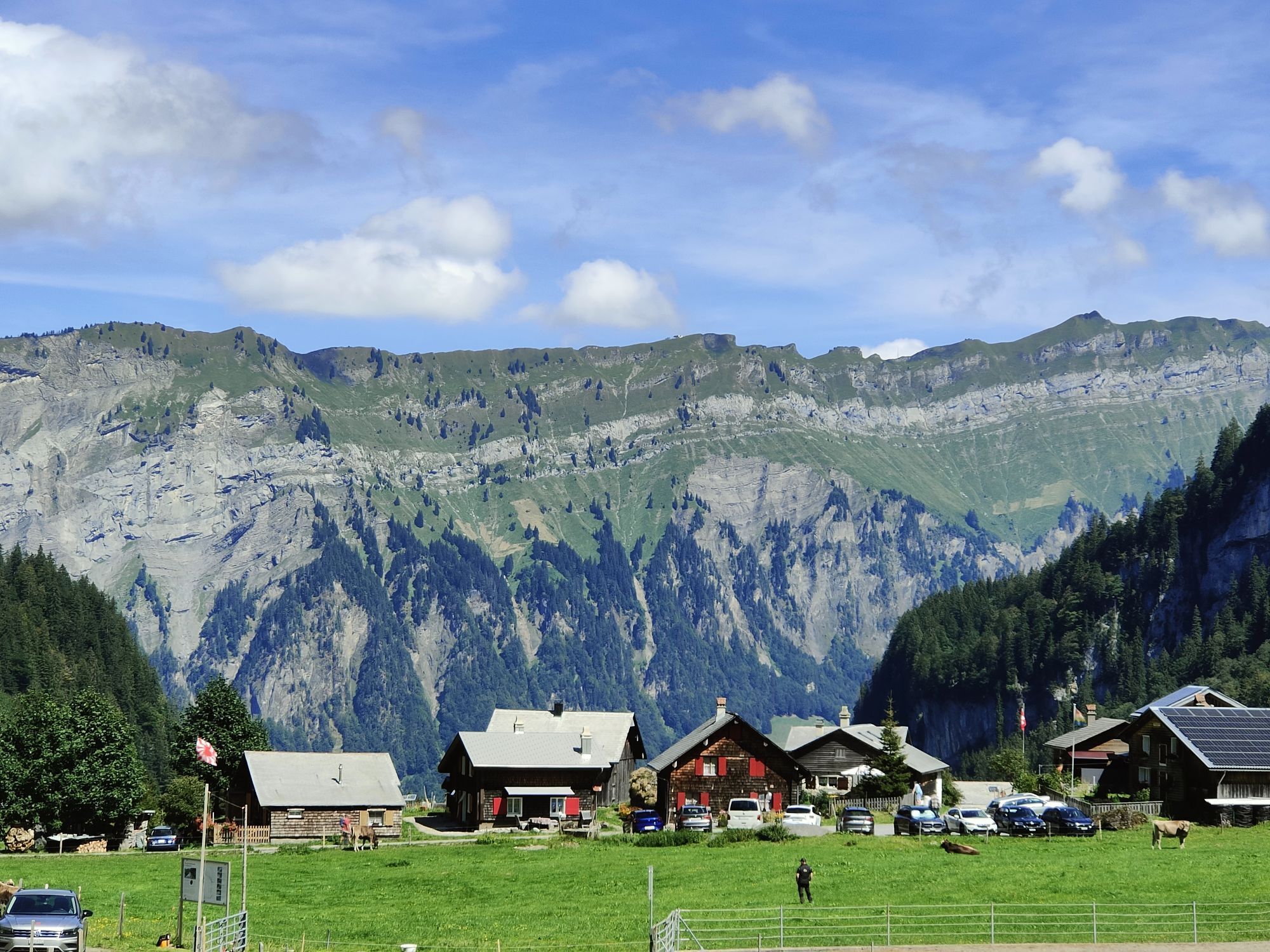
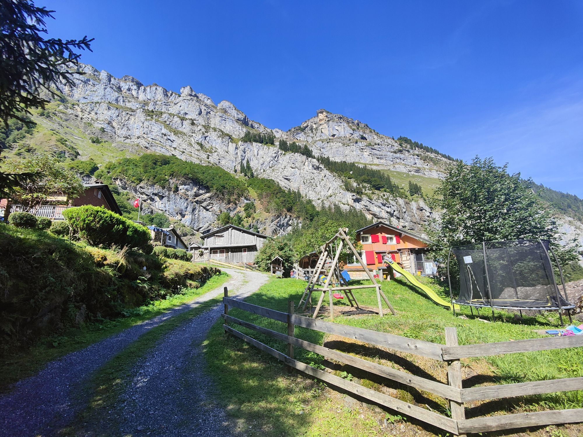
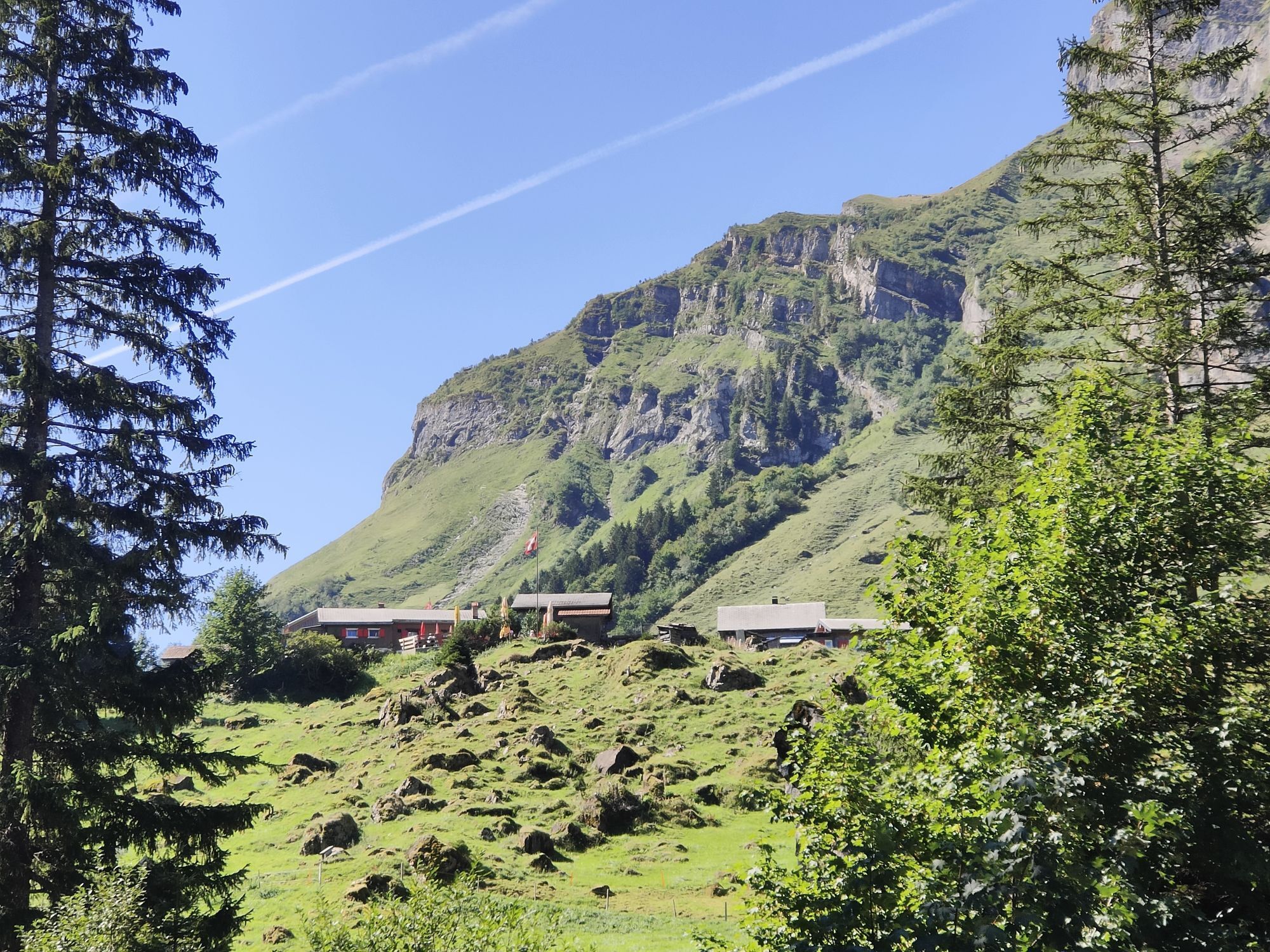
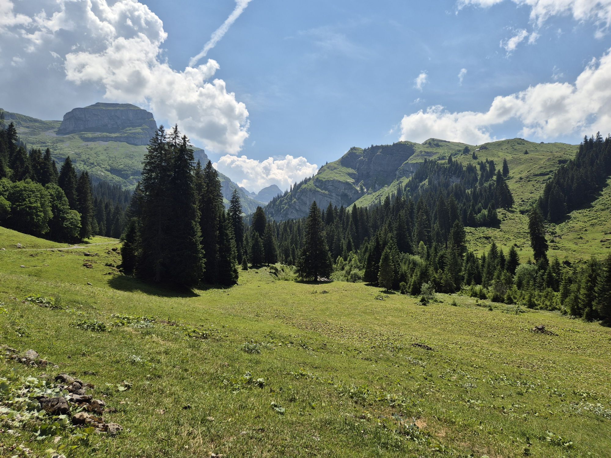
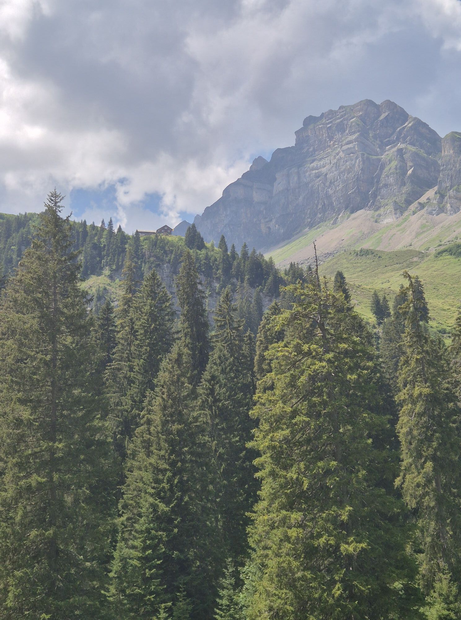
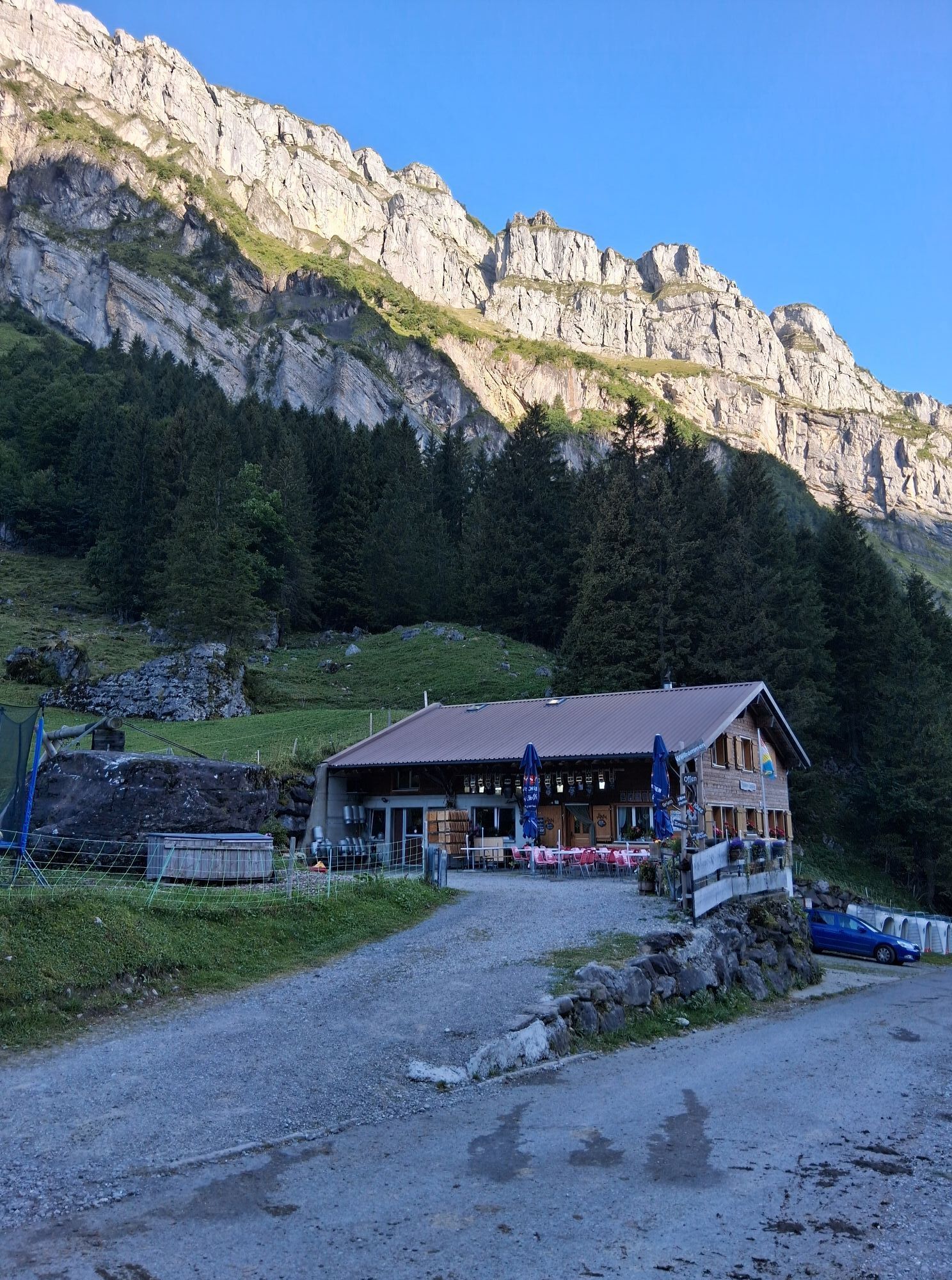
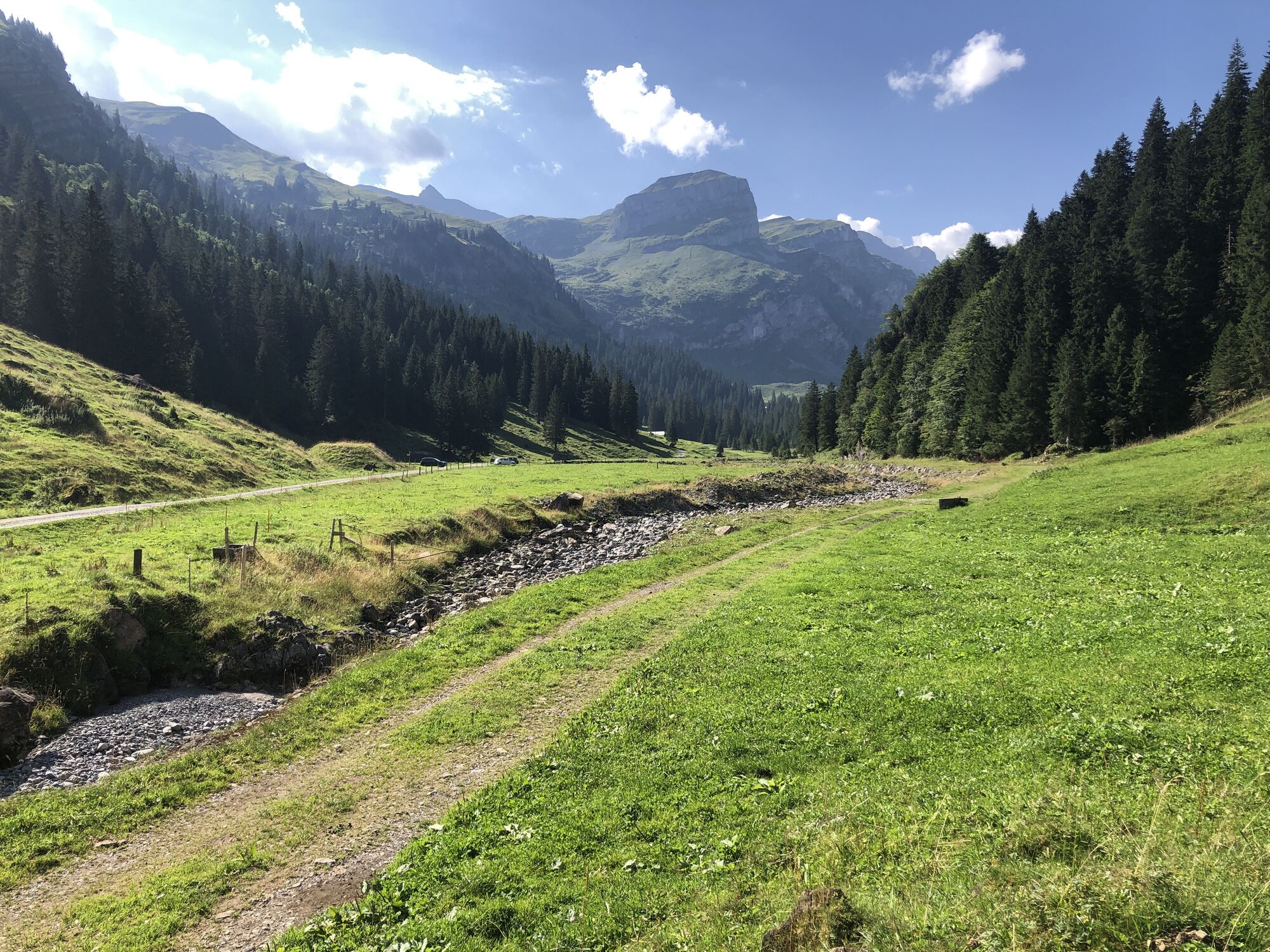
The Chinzig Chulm has currently become an insider tip among bikers. Although it was committed more than 4000 years ago, the pass only enters history with the passage of the Russian general Suworow in 1799. Although the pass can be reached directly on both sides, this hike can provide stamina and the ascent can be undertaken from the Bisistal. A mountain road branches off to the right above the Schwarzenbach restaurant. On this road we reach the alp Galtenäbnet at an altitude of 1350 m, which was assigned to the Urner Alp during the border clearing. With the chapel and the huts, the Alpdörfchen is a picturesque village on the plateau characterised by moors. On the ascent we leave the road and from Stäfeli take the red marked Älplerpfad, which leads us to Galtenäbnet.The path to Rindermatt, at about the same altitude as Galtenäbnet, is very varied thanks to a small pass, an alpine path and an impressive moorland landscape. The view on the Schwyzer and Glarner side with Pfannenstock, Grisset, Bös Fulen, Glärnisch and on the Urner side with the Chaiserstock chain and the Uri Rotstock is worth mentioning. Although an alpine road leads to Rindermatten, we follow the marked path to Chinzig. There, a small plate at the signpost indicates that the descent takes place on the Suworow path. One has the possibility to walk on the road or to choose the old path, which often runs near the Hüribach and leads past springs and old settlement sites.On the final leg from Liplisbüel down to Muotathal it is the deeply washed gorges of the Hüribach, the thundering waterfalls and glacial mills, as well as the mystic forest that make you forget the tiredness of this long tour.
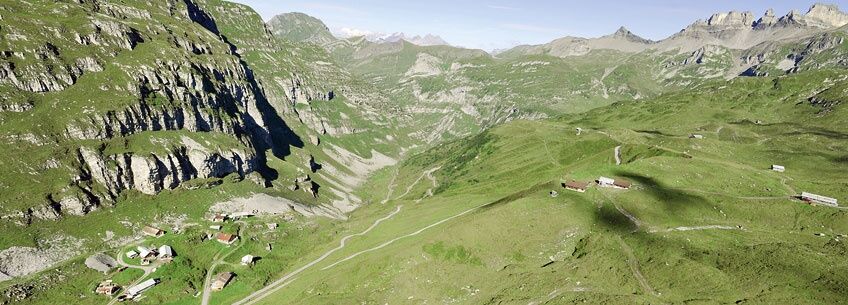
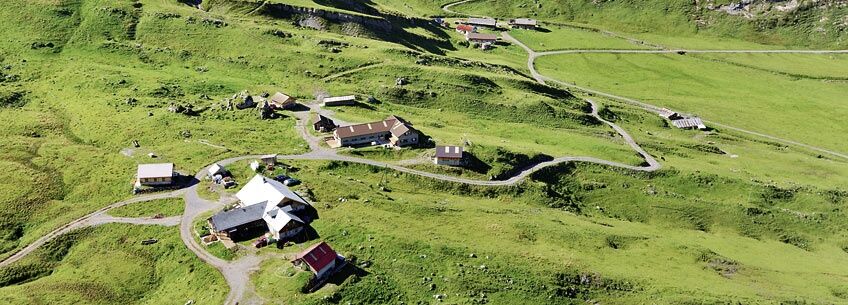
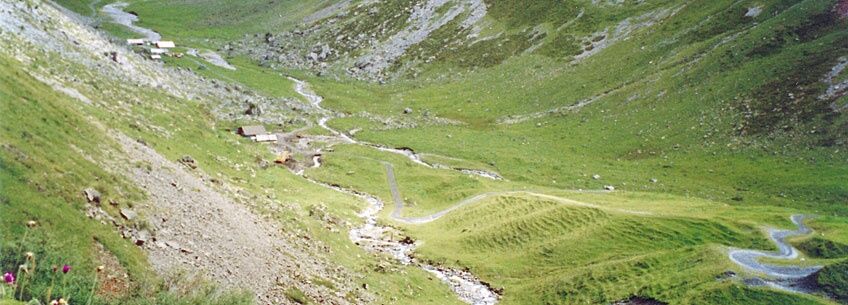
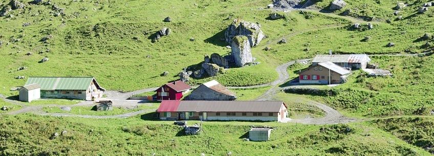

Take the car towards Schwyz, then follow the signs to Muotathal. From there follow the signs to Schwarzenbach/Bisisthal.
By train to Schwyz, railway station. From there take bus no. 1 to Muotathal.
Webové kamery z prehliadky

Obľúbené výlety v okolí
-
4,6
Gratwanderung Klingenstock
svetloTuristika 9,36 km -
4,6
Rundwanderung
svetloHorská turistika 12,9 km -
4,3
Mythenweg - Bergwanderung auf den Grossen Mythen
ťažkéTuristika 3,40 km -
4,5
Brunni-Feuerstellen-Rundwanderung
svetloTuristika 11,5 km -
4,7
Mythen via Ibergeregg
strednáTuristika 9,73 km -
4,8
Holzegg - Grosser Mythen - Restaurant Grosser Mythen - Alpwirtschaft Brunnialp
strednáTuristika 5,66 km -
4,8
Rundwanderung: Alplersee - Rophaien - Spilauersee - Lidernenhütte
ťažkéTuristika 15,5 km -
5,0
Morschach-Fronalpstock-Stoss, Schweiz
strednáTuristika 16,6 km -
4,7
Gitschen
ťažkéTuristika 13,7 km -
2,5
Rundwanderung Furggelenstock
strednáTuristika 10 km
Turistika a stopovanie


Nenechajte si ujsť ponuky a inšpiráciu na ďalšiu dovolenku
Vaša e-mailová adresa bol pridaný do poštového zoznamu.





