


Winter Hiking Trail Gisliflue
Fotografie našich používateľov
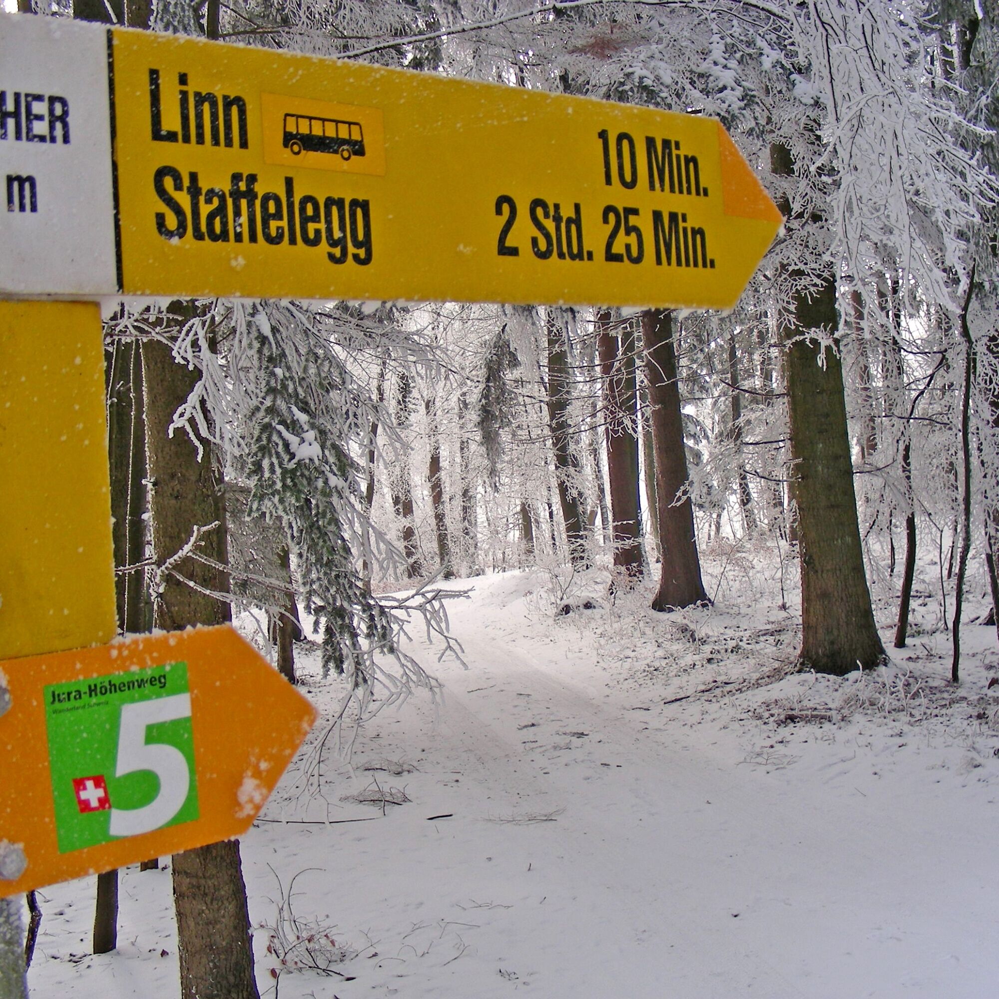
The starting point of the winter hiking trail is the Staffelegg Passhöhe post bus stop. A short section along the cleared cantonal road leads to the Staffelegg parking lot, the highest point of the connection...
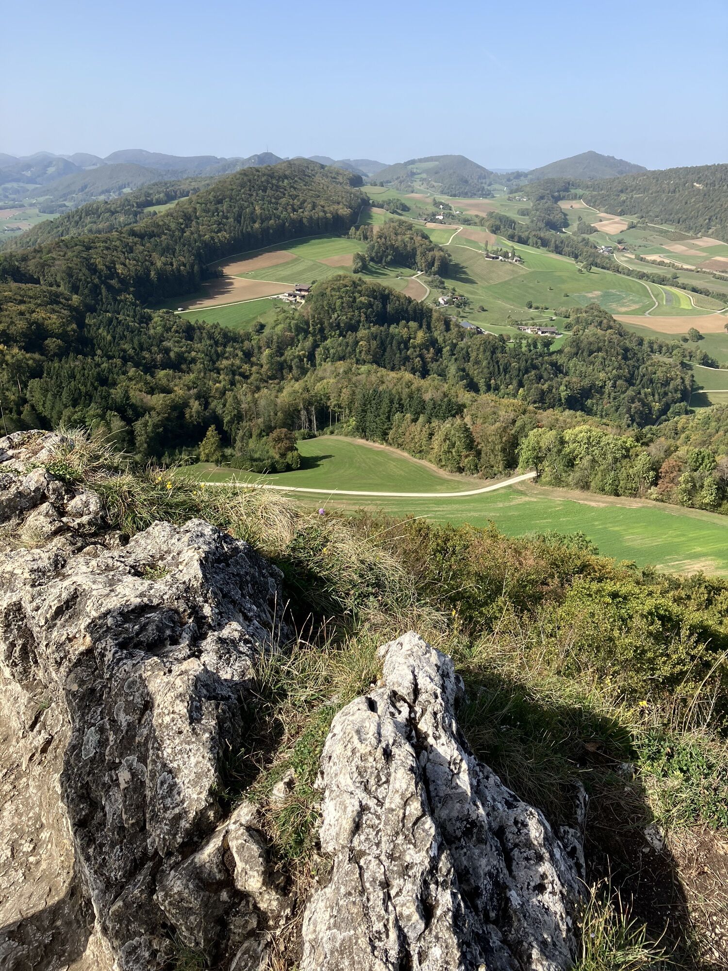
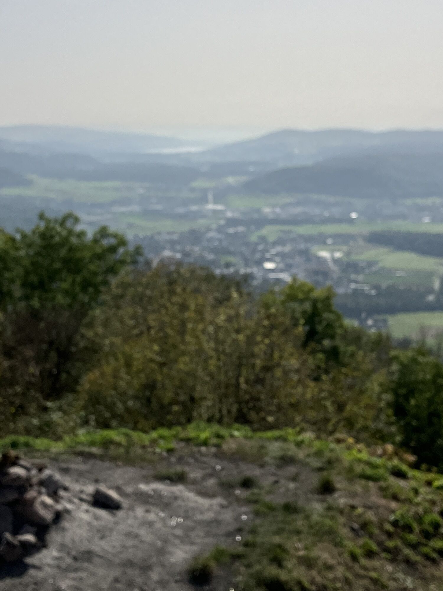
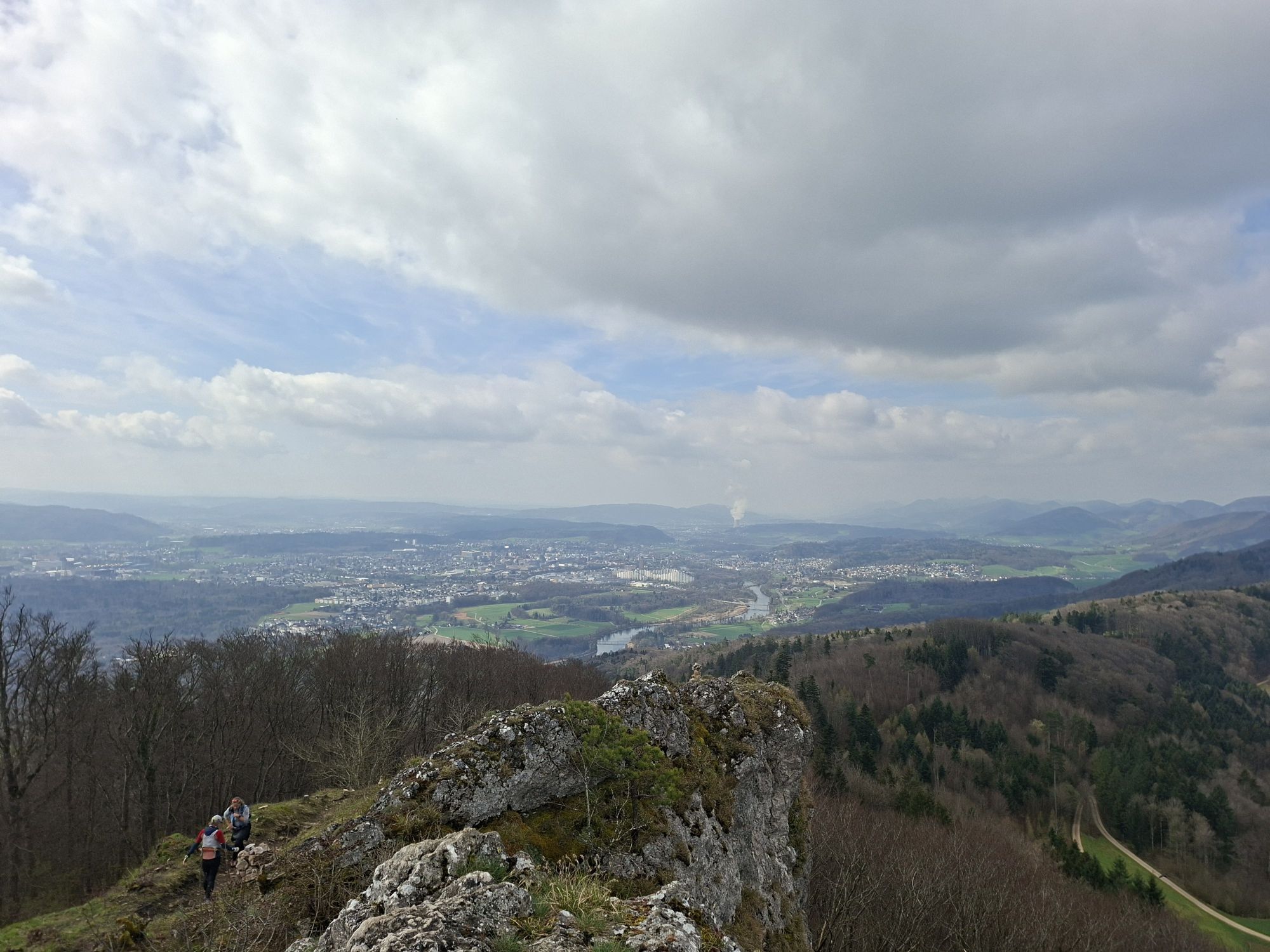
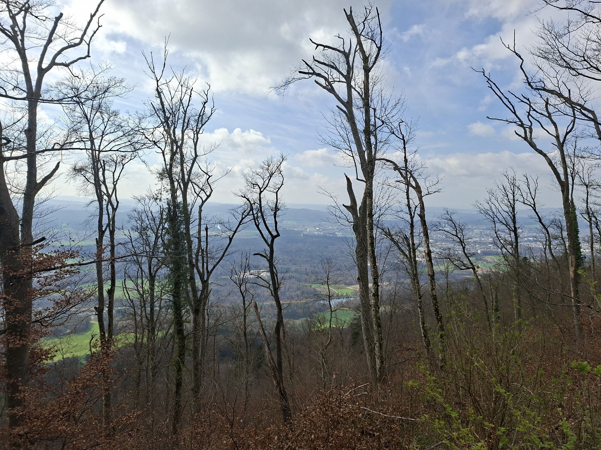
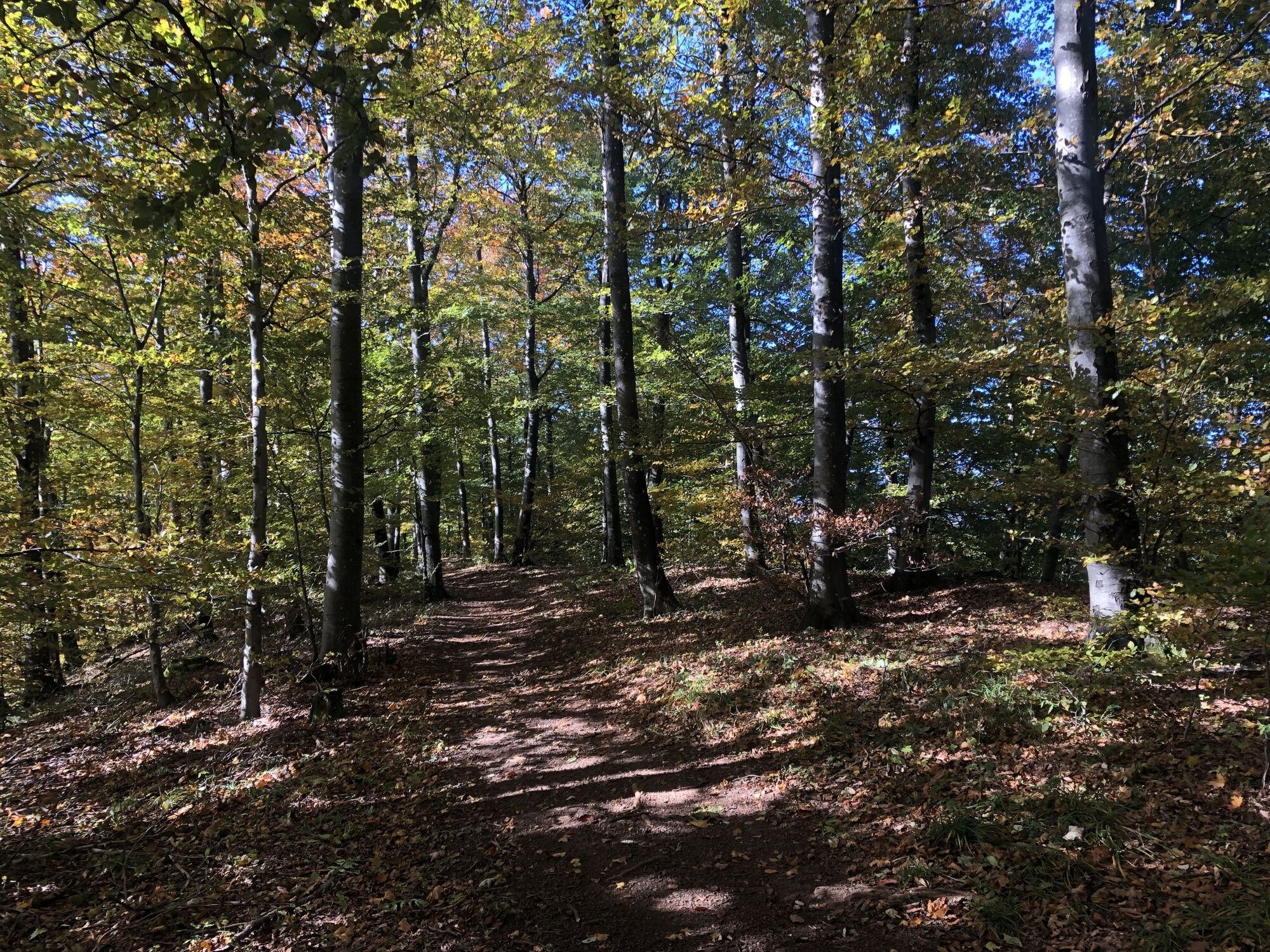
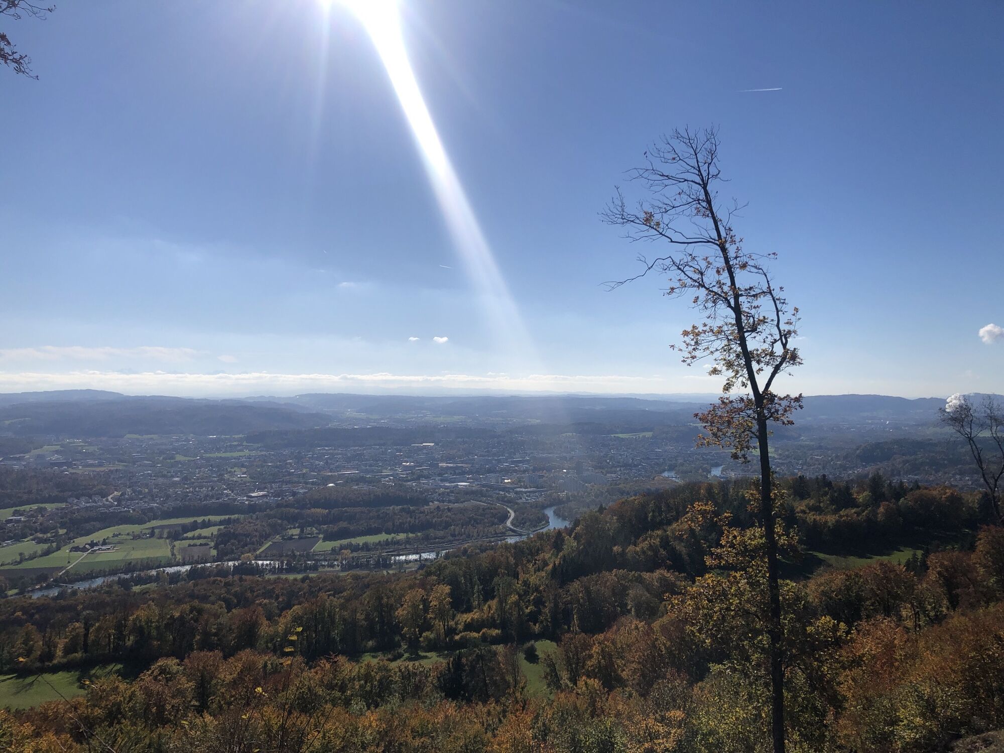
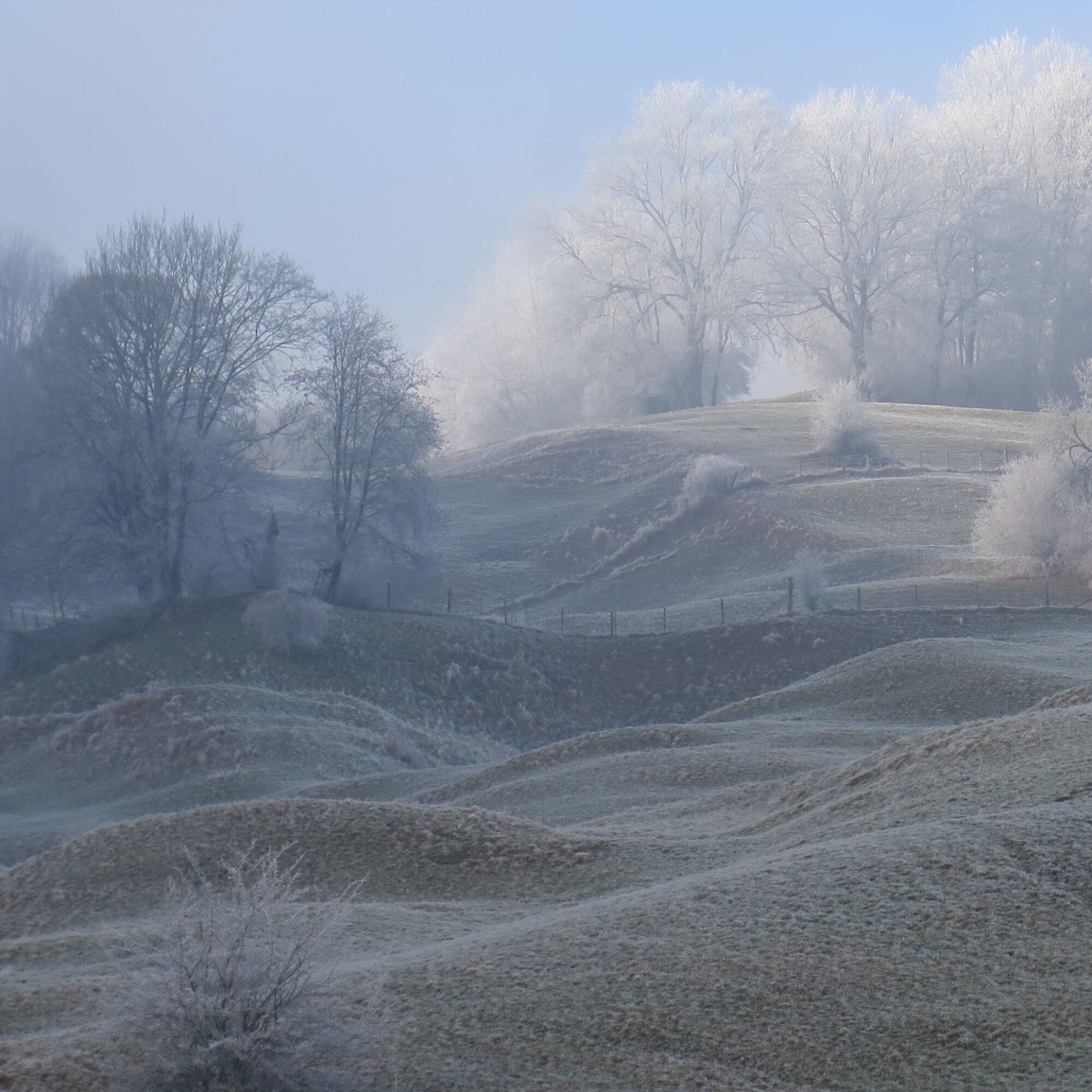
The path leads up over the Hombergegg to the ridge of the Homberg and continues along the ridge through a gate towards Gisliflue. In clear weather, there is an impressive panoramic view of the Alpine chain, the Jura heights, and the mountain ranges of the Black Forest.
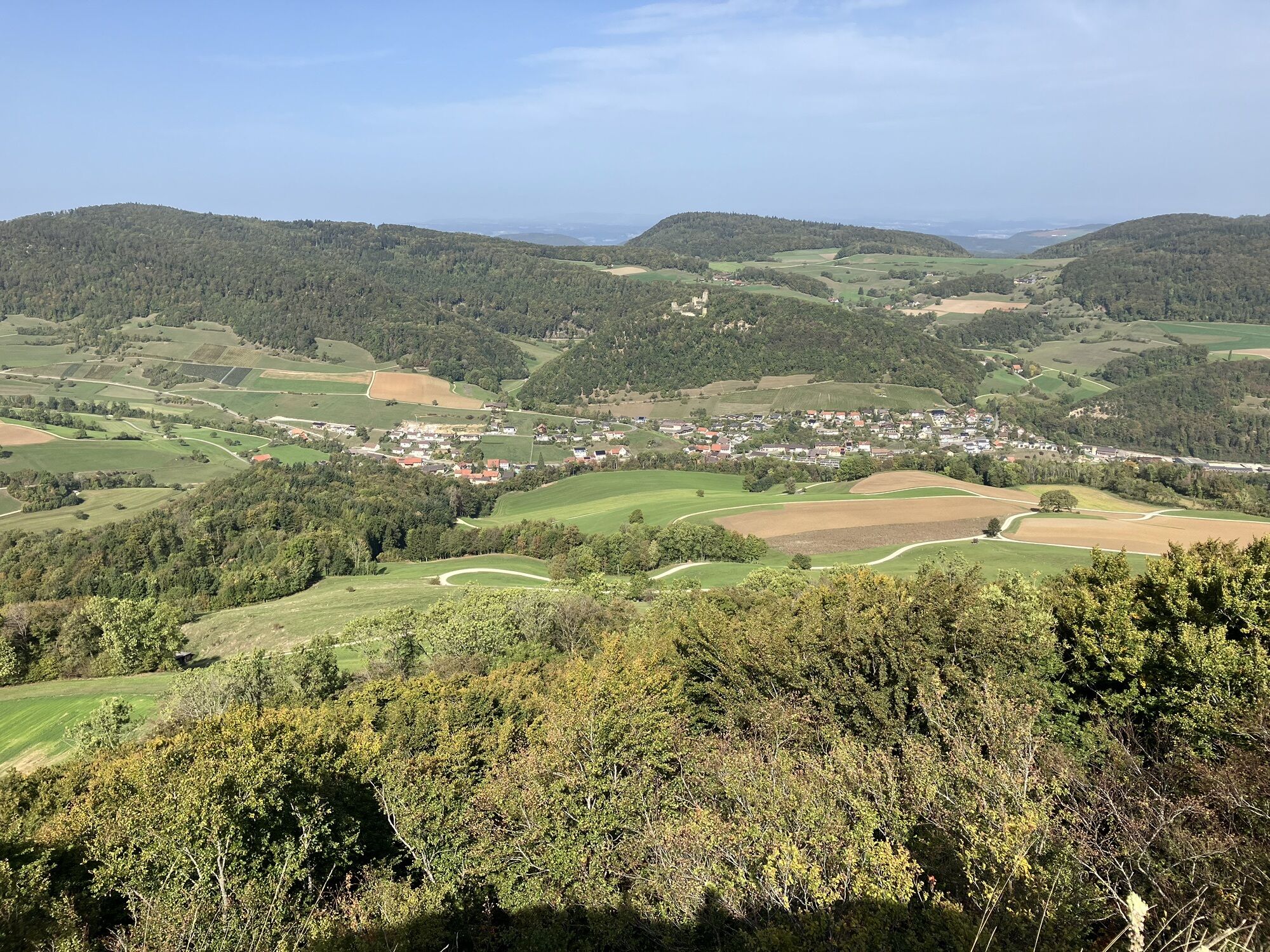
The descent proceeds via the Gislimatt to the Gisliflue Nature Friends House, which is open on Sundays. The route then passes the Rischele farm back to the Staffelegg parking lot and the post bus stop.

Aktivity počas prehliadky

Obľúbené výlety v okolí
-
4,5
Gisliflue & Gratwanderung, Schweiz
strednáTuristika 8,59 km -
Linner Wasserfall
svetloTuristika 4,67 km -
4,8
Hüslischnegg am Asperstrihen
strednáTuristika 5,05 km -
2,0
Staffelegg - Ruine Schenkenberg - Thalheim
svetloTuristika 6,96 km -
5,0
Staffelegg-Hauenstein, Schweiz
strednáTuristika 21,3 km -
Aargau Art Museum and Roggenhausen Wildlife Park
svetloTuristika 6,25 km -
Schinznach Bad - Brugg, Schweiz
svetloTuristika 10,5 km -
Schloss Lenzburg und Fünfweiher
strednáTuristika 14,5 km -
ErlebnisTour of Aargau
Cyklistika 341,4 km -
5,0
5-Dörferwanderung 12 km
strednáTuristika 11,7 km

Turistika a stopovanie


Nenechajte si ujsť ponuky a inšpiráciu na ďalšiu dovolenku
Vaša e-mailová adresa bol pridaný do poštového zoznamu.