





Puerto de Cotos - Pico de Peñalara
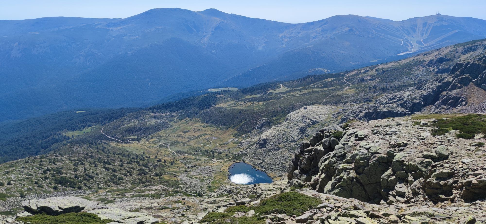
Overall difficulty: easy A simple yet impressive hike up to the peak of the Peñalara (2428 m), the highest mountain in the Community of Madrid Leg 1: Parking Cotos - Fork peak/lakes Difficulty: easy...
Overall difficulty: easy
A simple yet impressive hike up to the peak of the Peñalara (2428 m), the highest mountain in the Community of Madrid
Leg 1: Parking Cotos - Fork peak/lakes
Difficulty: easy
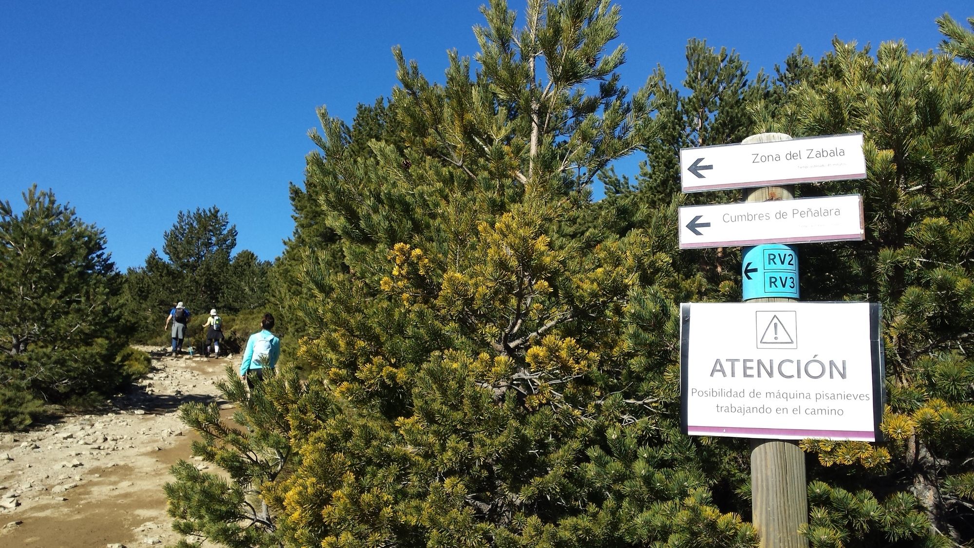
Starting at the parking lot in Puerto de Cotos (1830m), follow the clearly marked path through the forest. After a short while, straight on you will reach a lookout point where several paths meet. Follow the one you are on towards the left, walking past a mountain hut. Shortly after leaving the forest you will come across a sign indicating the paths up towards the peak (left) and towards the Laguna Grande de Peñalara (right). Follow the path on the left.
Leg 2: Fork peak/lakes - Hermana Menor
Difficulty: easy - medium
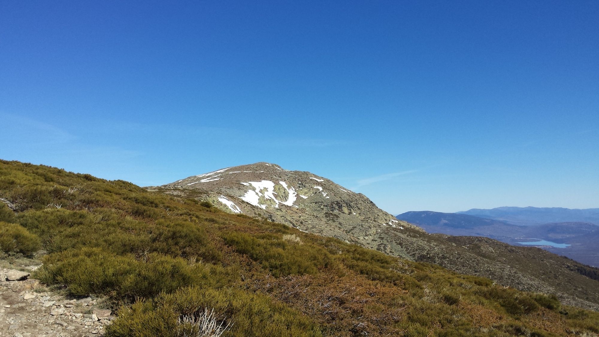
The hike up towards the Hermana Menor follows a slope littered with scrubs, bushes and small trees. The path itself is quite rocky and ascends the slope in a "zig-zag". This is the most difficult part of the ascent. The path itself does not lead to the peak of the Hermana Menor, but passes it on the right.
Leg 3: Hermana Menor - Pico de Peñalara
Difficulty: easy
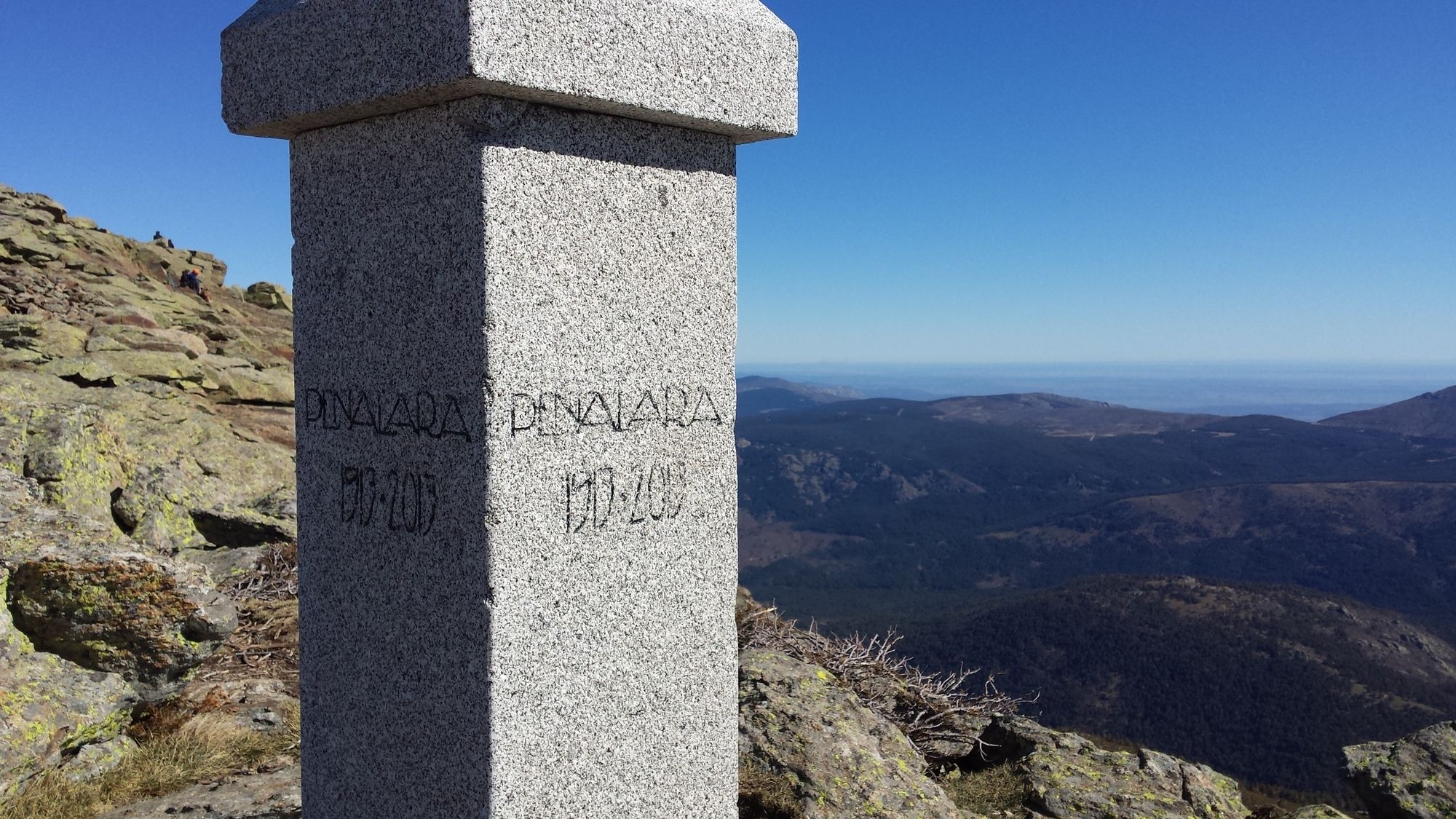
Once past the Hermana Menor the trail is relatively flat and continues straight on. Follow the ridge of the mountain range, passing the Hermana Mayor. You will have frequent possibilities to enjoy the wonderful views of the surrounding mountains. Once past the Hermana Mayor the final ascent up to the Pico de Peñalara is straight up a rocky path. On the top you will be greeted with wonderful views of the entire Guardarama mountain range.
Descent
Difficulty: easy
Re-trace the path back down towards Puerto de Cotos.
Bonus: Laguna Grande de Peñalara
Difficutly: easy-medium
If time permits, it is highly recommended to pass by the Laguna Grande de Peñalara on the way down! Before entering back into the forest simply follow one of the paths towards the left which will take you past a small hut made out of rocks, down a rocky slope towards the lagoon.







There is a restaurant in Puerto de Cotos.
There is an info-point in Puerto de Cotos where maps are available.
Áno
Áno
Áno
Áno
You can get there by car or by public transport (train, bus)
Renfe Cercanías:
Line C-8:
- From: Atocha; Recoletos; Nuevos Ministerios; Chamartín
- To: Cercedilla
Line C-9:
- From: Cercedilla
- To: Cotos
There is a large parking lot in Puerto de Cotos, however it is recommended to arrive there early (before 09:00 a.m.) as it fills up quickly!
Bring sunscreen!

Obľúbené výlety v okolí
-
5,0
Navacerrada - La Maliciosa - Bola del Mundo - Navacerrada
strednáTuristika 14,4 km -
5,0
Manzanares - El Yelmo - Charca Verde - Manzanares
strednáTuristika 17,5 km -
5,0
Cercedilla - Montón de Trigo - Cercedilla
strednáTuristika 12,9 km -
4,0
Manzanares Ausflug
svetloTuristika 10,7 km -
Manzanares de Real
strednáTuristika 8,26 km -
Manzanares- Maliciosa baja
ťažkéHorská turistika 16,9 km -
Estación de El Espinar - La Pinareja - Montón de Trigo - Cercedilla
ťažkéTuristika 25,8 km -
Cercedilla - Los Frutales - Alto de La Peñota - Collado de Cerromalejo
strednáTuristika 13,2 km -
Cercedilla - Collado de Cerromalejo - Peña el Águila - Collado de Marichiva
ťažkéTuristika 17,4 km -
Cercedilla - Antiguo campamento de Las Berceas
svetloTuristika 6,87 km
Turistika a stopovanie


Nenechajte si ujsť ponuky a inšpiráciu na ďalšiu dovolenku
Vaša e-mailová adresa bol pridaný do poštového zoznamu.





