





Leurtzako Urtegiak - Leurtza Reservoirs

Úroveň náročnosti: T2
START: Leurtza Natural Recreational Area. Information and ranger hut. Informative panel. Pass the restroom and fountain hut and cross the dam wall of the upper reservoir by flat path, skirt it until a...
START: Leurtza Natural Recreational Area. Information and ranger hut. Informative panel. Pass the restroom and fountain hut and cross the dam wall of the upper reservoir by flat path, skirt it until a fork next to a stone cairn: leave on the right the trail that skirts the reservoirs (green markings) and ascend to the left to the Zumardena pass, always through beech forest and with the final section along the old cobbled road of Eltzaburu. From the pass, detour to the left (E.>) to the nearby Erlain cross and the Pittortzar dolmen. Returning to Zumardena, continue by flat path to the Uztakorta pass (hunter’s hut). Fork: leave the GR-12 on the left and continue to the right (E.GR11-12) along the Soratxipi mountain by track and then trail until the Exkelarre pass. Open meadows (optional ascent to the Bonozorrotz summit, not marked, with great panoramic views). Return to the pass and descend by trail to the starting point.

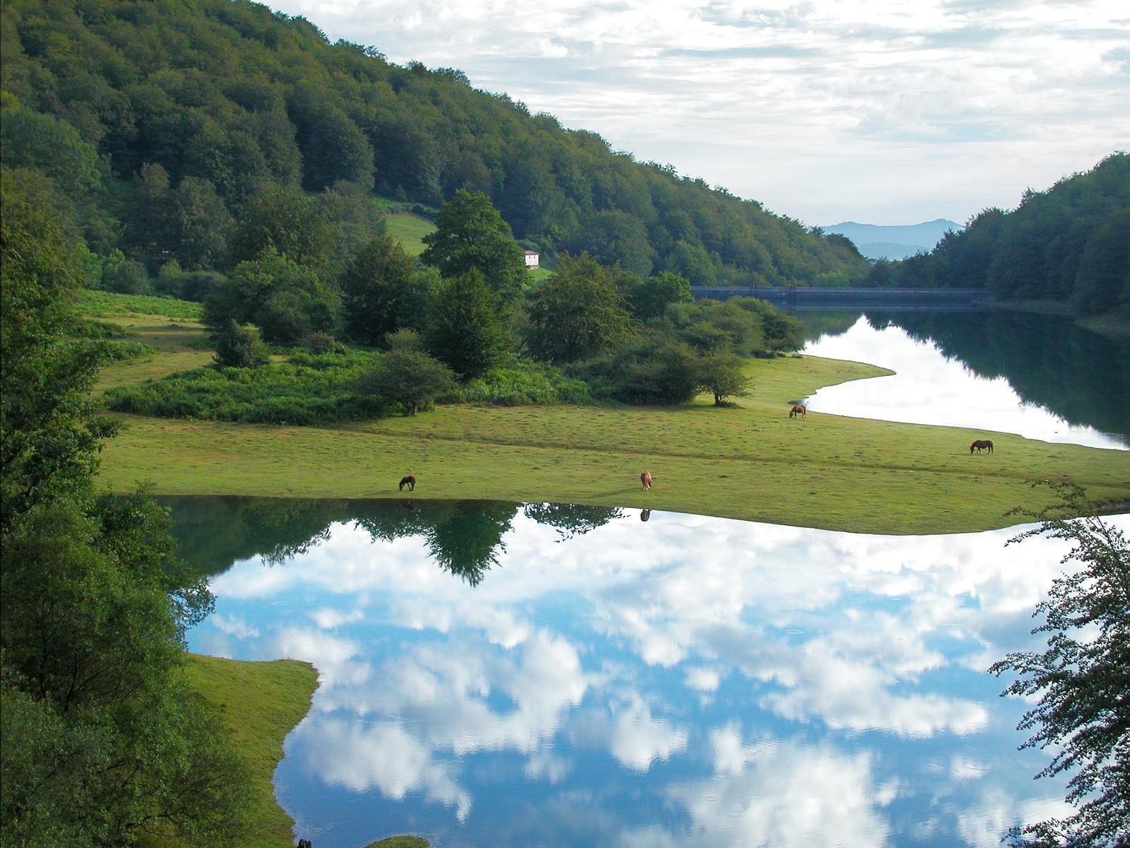
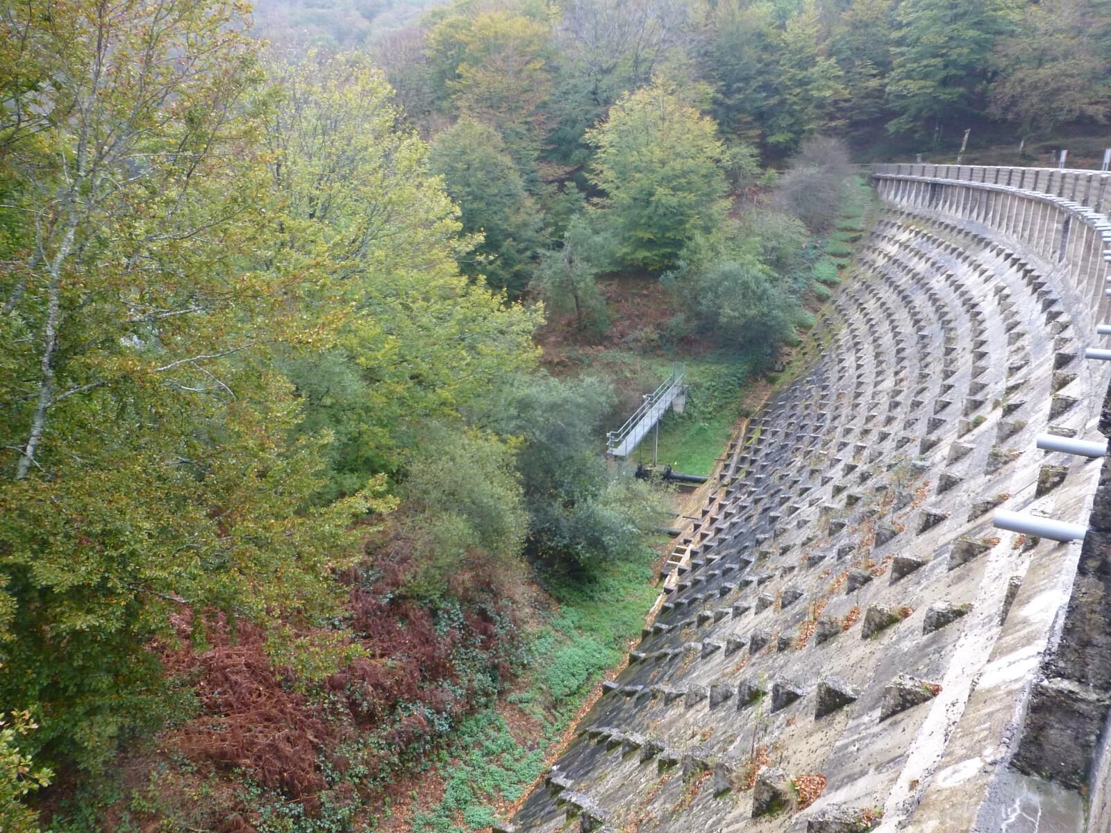
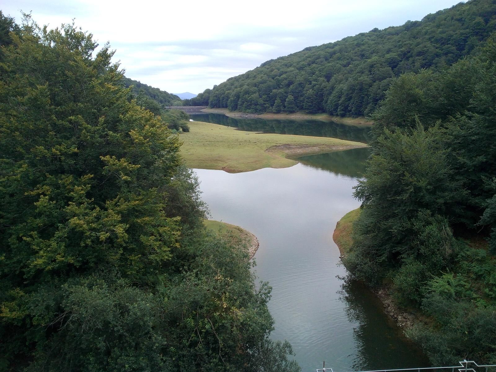
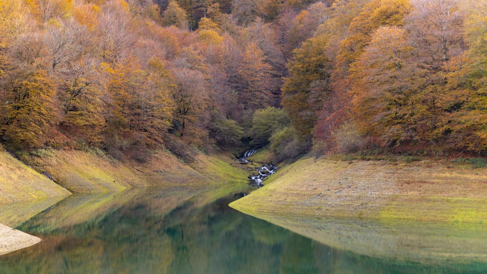

START: Leurtza Natural Recreational Area. Information and ranger hut. Informative panel. Pass the restroom and fountain hut and cross the dam wall of the upper reservoir by flat path, skirt it until a fork next to a stone cairn: leave on the right the trail that skirts the reservoirs (green markings) and ascend to the left to the Zumardena pass, always through beech forest and with the final section along the old cobbled road of Eltzaburu. From the pass, detour to the left (E.>) to the nearby Erlain cross and the Pittortzar dolmen. Returning to Zumardena, continue by flat path to the Uztakorta pass (hunter’s hut). Fork: leave the GR-12 on the left and continue to the right (E.GR11-12) along the Soratxipi mountain by track and then trail until the Exkelarre pass. Open meadows (optional ascent to the Bonozorrotz summit, not marked, with great panoramic views). Return to the pass and descend by trail to the starting point.
Hiking shoes or boots.
Water and food.
Navigation tools.
Mobile phone.
Backpack.
Multi-tool or knife (recommended).
Clothing suitable for the weather.
First aid kit.
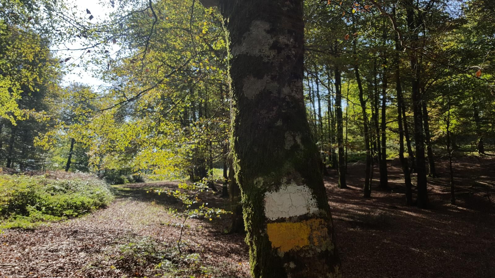
SIGNAGE: Trail marked with double yellow marks, sometimes yellow and white. In the first kilometer it coincides with a small trail that surrounds the two reservoirs (marked in green). From km 2.400 (Zumardena) to km 7.490 (Askalda ridge) it coincides with the GR12 and the E. GR11-GR12, marked in red and white. Informative panel at the start and several themed panels along the route.
T2
The Leurtza and Baztan-Bidasoa Natural Recreational Area have a network of marked trails. More information: www.leurtza.es and, in project (2026): www.baztan-bidasoa.com and https://urarenbailarak.eus
There is a ranger service during the season and a parking fee applies (attention: parking may be subject to prior reservation; check at www.leurtza.es)
Obľúbené výlety v okolí
-
5,0
Iturburua - Bertiz
strednáTuristika 6,68 km -
Navarra - Three branches. Mugiro-Lekunberri
strednáTuristika 8,87 km -
Sunbilla BTT - Camping Aritzigain Route 8
ťažkéMountainbike 28,3 km -
Navarra - Monumental Oaks. Jauntsarats
svetloTuristika 1,85 km -
Demanda a Urkidi - Camping Aritzigain Route 9
ťažkéMountainbike 35,8 km -
Kornieta a Uitzi - Camping Aralar Route 9
ťažkéMountainbike 49,2 km -
Belate a Orokieta - Camping Aritzigain Route 2
ťažkéCestný bicykel 95,4 km -
Beruete, Doneztebe a Leitza - Camping Aralar Route 2
ťažkéCestný bicykel 90,3 km -
Plazaola Greenway
svetloCyklistika 42,9 km -
Prehliadka mesta Saldías - Camping Aritzigain Trasa 1
svetloCestný bicykel 45,3 km
Turistika a stopovanie


Nenechajte si ujsť ponuky a inšpiráciu na ďalšiu dovolenku
Vaša e-mailová adresa bol pridaný do poštového zoznamu.





