





Balgorra Trail
Úroveň náročnosti: T3
STARTING POINT: Tafalla, Panueva bridge and traffic circle on the NA-8607 road. Commercial area and parking. Information panel. Cross under the railway track (on the right is the Fuente del Rey and a park)...
STARTING POINT: Tafalla, Panueva bridge and traffic circle on the NA-8607 road. Commercial area and parking. Information panel. Cross under the railway track (on the right is the Fuente del Rey and a park) and then under the freeway. After 1 km, fork: on the right, return path; ascend to the left along a wide path, passing near some traditional bee hives (100 meters to the right, not signposted) and the false-domed Gurrutxo hut, until you reach the Peña Blanca ridge, with several wind turbines. Follow the track and, next to the wind turbine A.7., ascend to the right along a path to the Alto de Valdelobos, with a wide view. After another stretch on the track, Fuente de Pozuelo (untreated water), an oasis on the road; 300 meters later, turn right onto a path through a kermes oak forest, crossing a plowed field to reach a shepherd's hut. Once again along a country road you will reach the Portillo del Aire and the wide Canal de Navarra. Continue between ploughed fields, leaving on the left the stone reservoir of La Fuente del Rey (attention: access by private land not signposted) and, already between orchards, you join the outward path in the last kilometer to reach Tafalla.

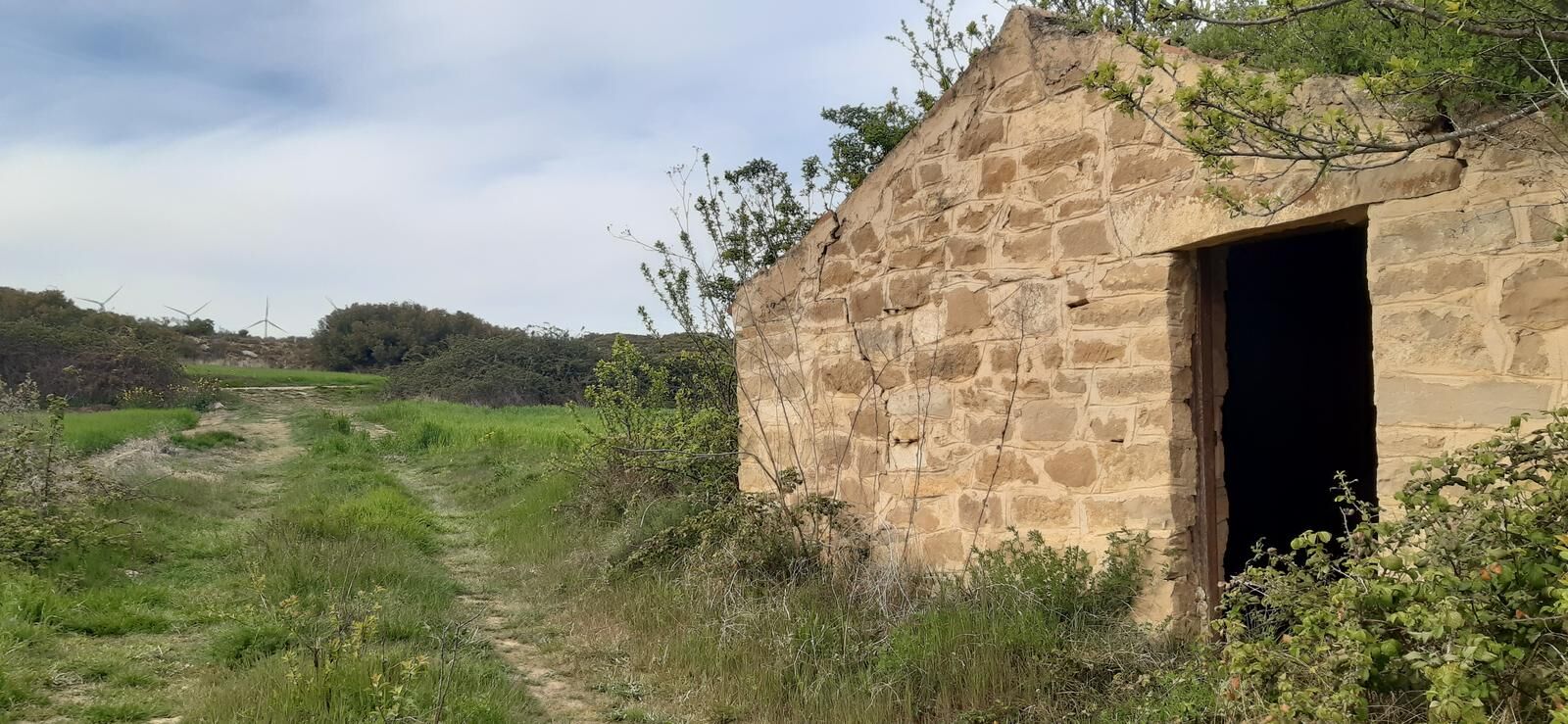
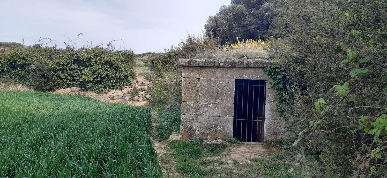
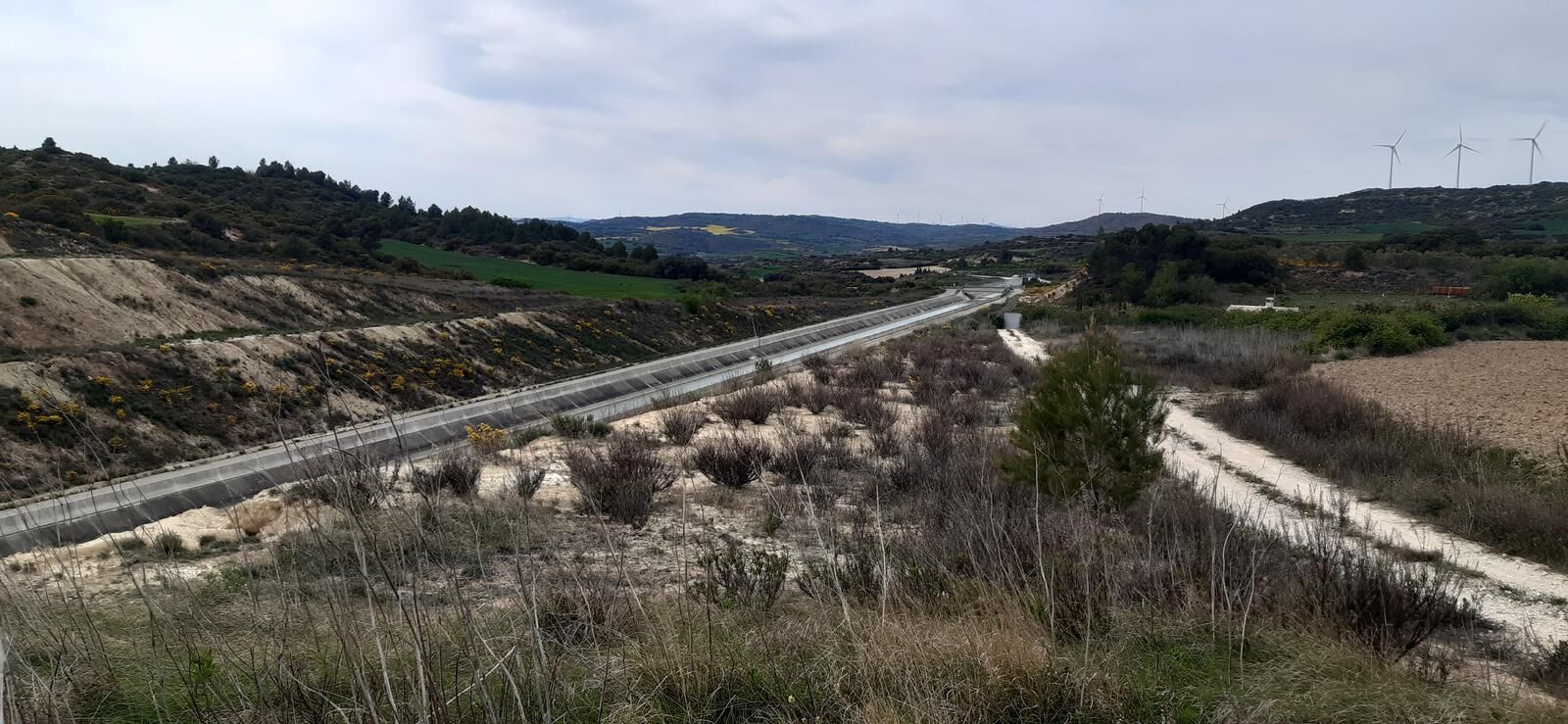
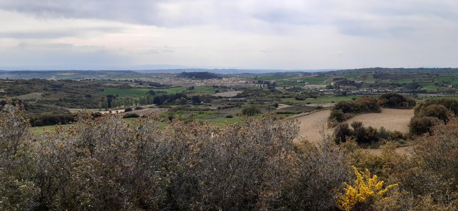

STARTING POINT: Tafalla, Panueva bridge and traffic circle on the NA-8607 road. Commercial area and parking. Information panel. Cross under the railway track (on the right is the Fuente del Rey and a park) and then under the freeway. After 1 km, fork: on the right, return path; ascend to the left along a wide path, passing near some traditional bee hives (100 meters to the right, not signposted) and the false-domed Gurrutxo hut, until you reach the Peña Blanca ridge, with several wind turbines. Follow the track and, next to the wind turbine A.7., ascend to the right along a path to the Alto de Valdelobos, with a wide view. After another stretch on the track, Fuente de Pozuelo (untreated water), an oasis on the road; 300 meters later, turn right onto a path through a kermes oak forest, crossing a plowed field to reach a shepherd's hut. Once again along a country road you will reach the Portillo del Aire and the wide Canal de Navarra. Continue between ploughed fields, leaving on the left the stone reservoir of La Fuente del Rey (attention: access by private land not signposted) and, already between orchards, you join the outward path in the last kilometer to reach Tafalla.
Hiking shoes or boots.
Water and food.
Navigation tools.
Mobile phone.
Backpack.
Multi-tool or knife (recommended).
Adequate clothing for the weather.
First aid kit.
SIGNS: Signposting with white and green markings, unidirectional and somewhat scarce, as well as posts and pickets at some crossings. In the mountain range of Peña Blanca it coincides with a mountain bike route and between k.p. 4.5 and k.p. 4.5. 4.5 and p.k. 5.5 with a cattle track. In case of fog or mist, keep your attention along the route.
WARNING: Area of wild boar hunting, be careful from August to February.
T3
The Middle Zone has a network of marked trails. More information: https://apie.navarramedia.es
Obľúbené výlety v okolí
-
Prehliadka Zona Media - Camping Bardenas Trasa 3
strednáCestný bicykel 144,0 km -
Tafalla. Middle Navarre
strednáCestný bicykel 93,8 km -
Dolmens of Artajona
svetloTuristika 1,72 km -
Tafalla - Olite - Tafalla. The heart of Zona Media
svetloCyklistika 13,4 km -
Artajona. Paths of the Kingdom
strednáMountainbike 37,0 km -
Olite. Monteplano
ťažkéMountainbike 41,6 km -
5,0
Unzué/Untzue - Iglesia de San Millán - Peña de Unzué - Aieregi
strednáTuristika 4,41 km -
Orísoain - Ermita de San Pelayo - San Pelaio - Amunarrizketa
strednáTuristika 16,0 km -
Olite / Erriberri - Ermita de Santa Brigida
strednáŠtrkový bicykel 40,2 km -
Asador El Cerco - Ermita de San Bartolomé - Ermita de San Jose - Iglesia de San Pedro
strednáCestný bicykel 49,7 km
Turistika a stopovanie


Nenechajte si ujsť ponuky a inšpiráciu na ďalšiu dovolenku
Vaša e-mailová adresa bol pridaný do poštového zoznamu.





