Navigácia na stránke
Získajte túto prehliadku v mobilnom telefóne
Mapa
Donauradweg (cycle path) NÖ South shore
ťažké
Diaľková cyklotrasa
195,63 km
Naskenujte kód QR a spustite navigáciu v aplikácii bergfex
QR Code
Turistika a stopovanie

Donauradweg (cycle path) NÖ South shore

ťažké
Diaľková cyklotrasa
Vzdialenosť
195,6 km
Trvanie
13:25 h
Ascent
83 hm
Hladina mora
163 - 248 m

Úroveň náročnosti: 1
Stiahnutie skladby
Mapa
Donauradweg (cycle path) NÖ South shore
ťažké
Diaľková cyklotrasa
195,63 km

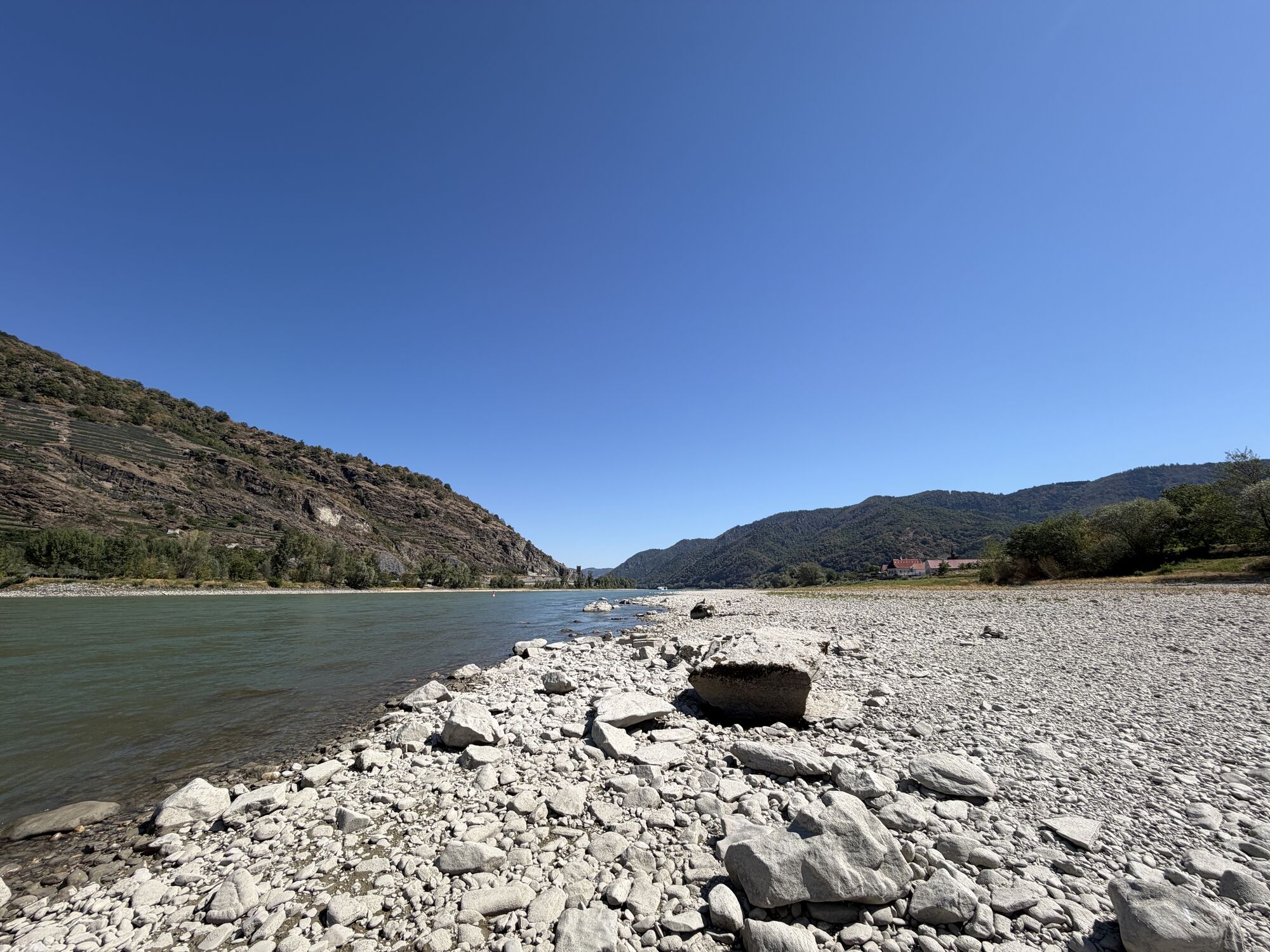
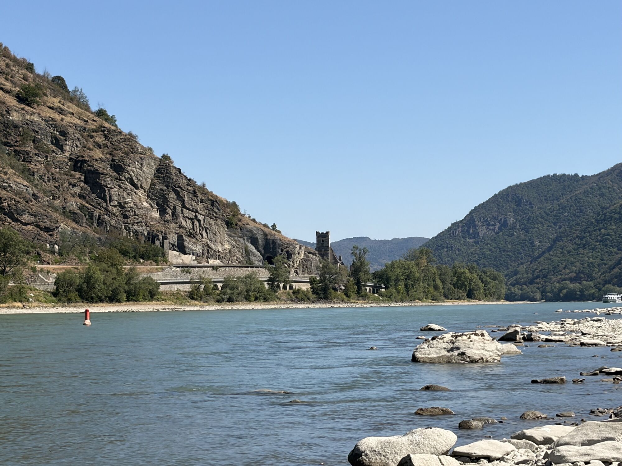
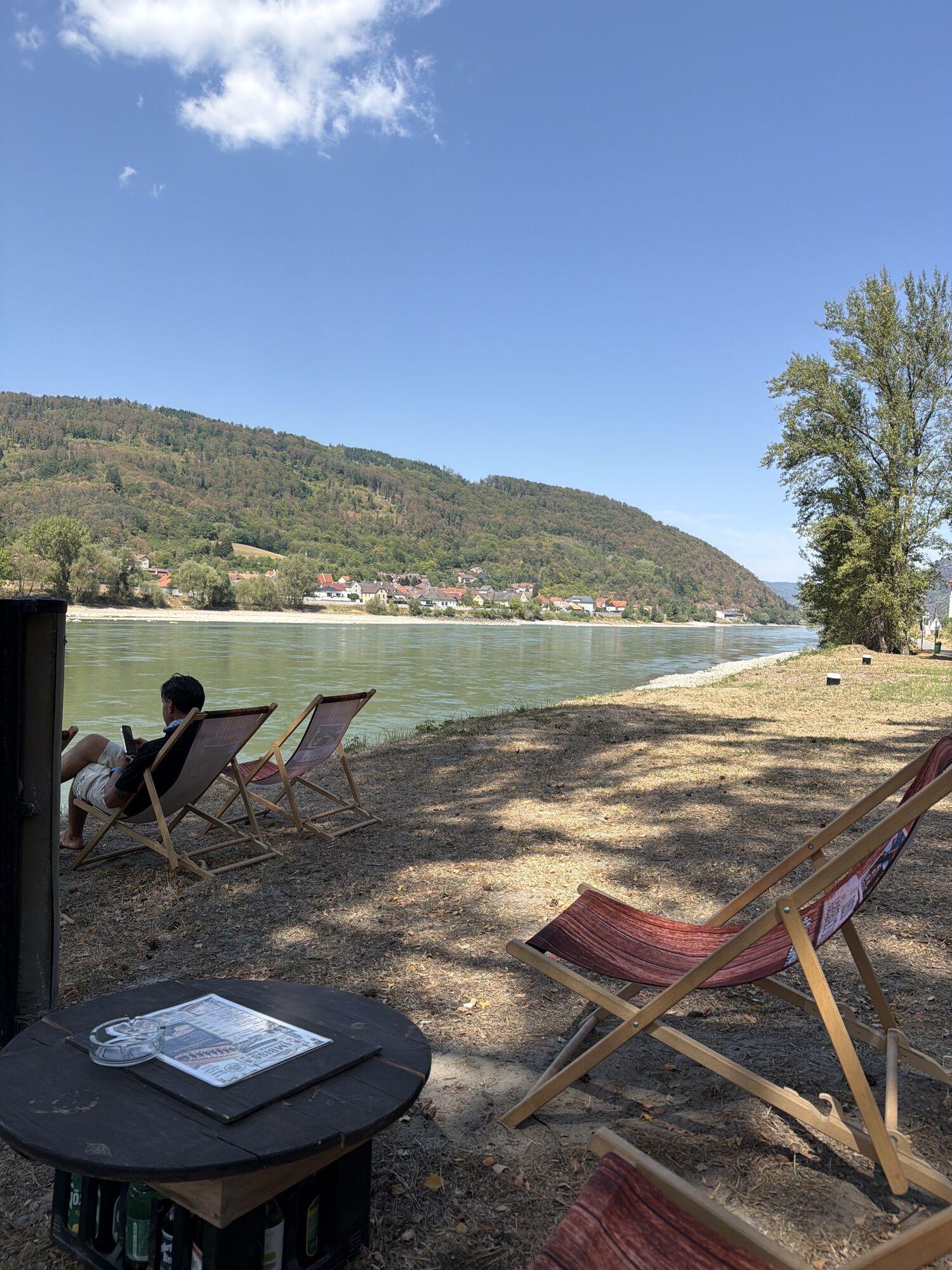
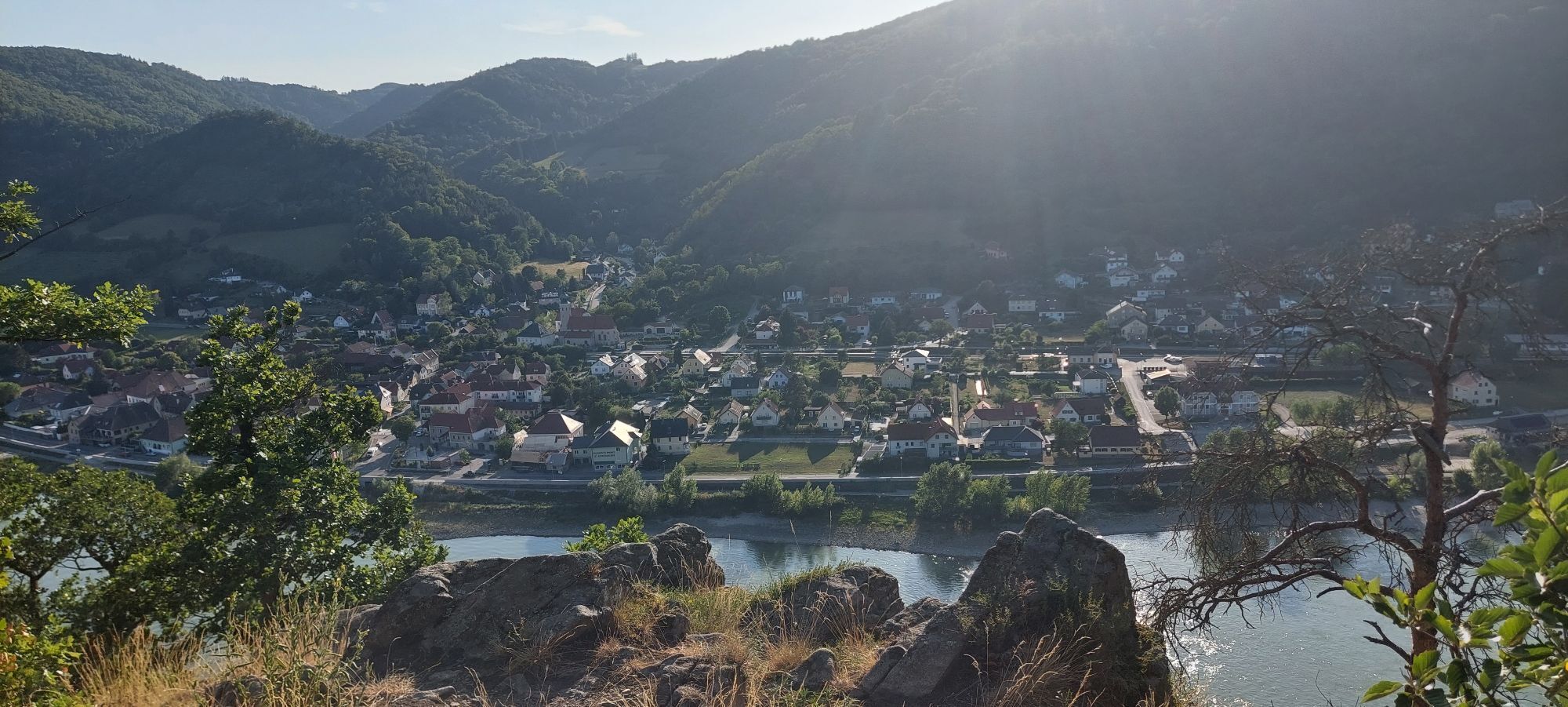
Fotografie našich používateľov

Length: 258 km, total length of Passau to Budapest 650 km

Description: Light and suitable for a week long tour, notable climbs are only when one leaves the designated path, such as a visit to Schallaburg...

Opis
Length: 258 km, total length of Passau to Budapest 650 km

Description: Light and suitable for a week long tour, notable climbs are only when one leaves the designated path, such as a visit to Schallaburg Castle. Many bridges and ferries make the switch between both sides easy. The duration of travel depends on the amount of cultural sites visited. Numerous art and cultural highlights (e.g. The arts in Krems, Archaeological Park Carnuntum etc.) are located on or near the designated path.

Trasa
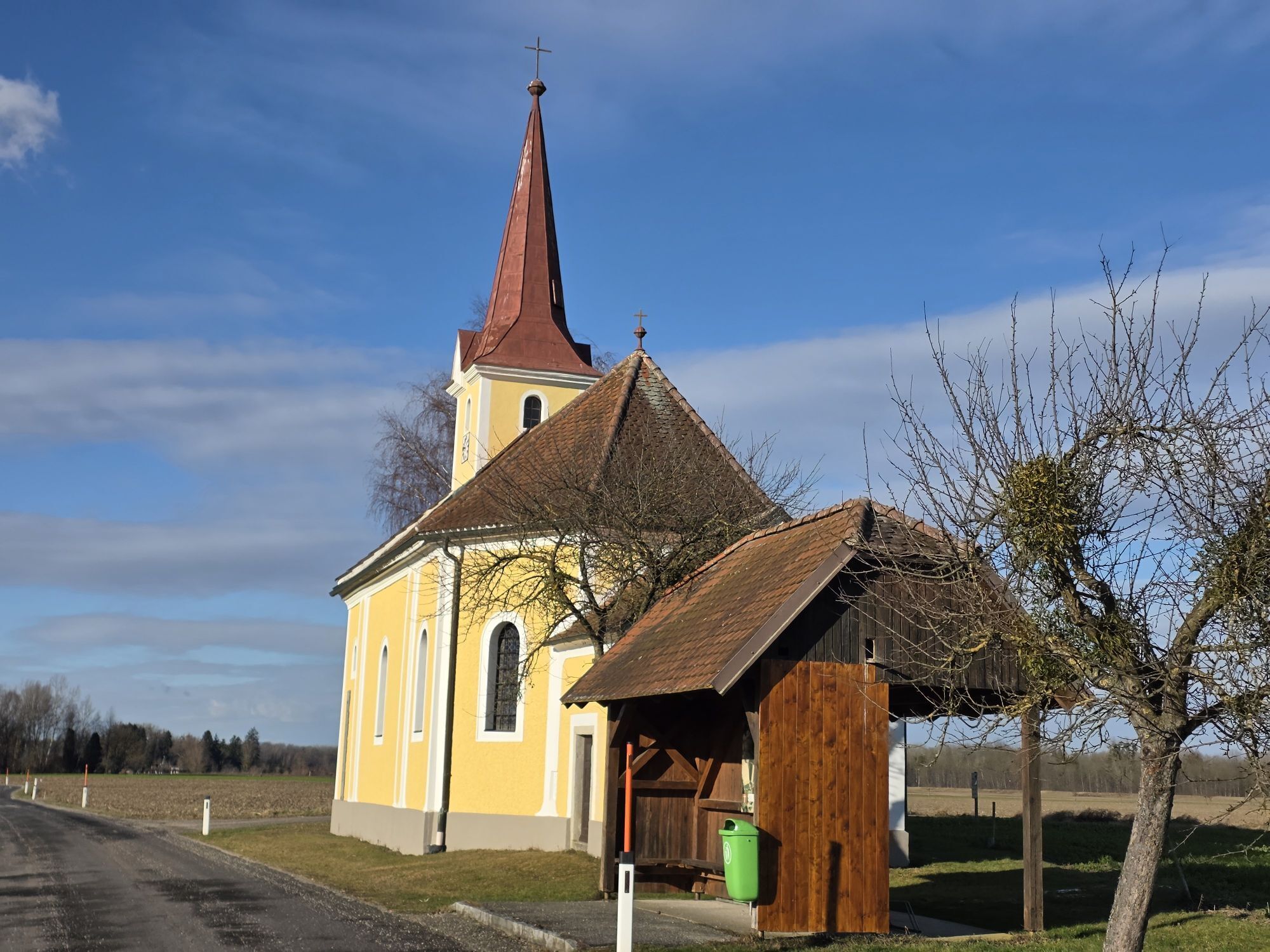
Aukapelle Mariae Heimsuchung
(237 m)
Miesto uctievania
16,9 km
Grein
(232 m)
Mesto
41,8 km
Kath. Pfarrkirche hl. Laurentius
(224 m)
Miesto uctievania
62,1 km
Filialkirche Johannes der Täufer
(211 m)
Miesto uctievania
103,9 km
Filialkirche hl. Katharina
(206 m)
Miesto uctievania
107,8 km
Hl. Nikolaus
(180 m)
Miesto uctievania
159,9 km
Donaukapelle
(176 m)
Miesto uctievania
171,2 km
Trasa
Mapa
Donauradweg (cycle path) NÖ South shore
ťažké
Diaľková cyklotrasa
195,63 km
Ennsdorf
(251 m)
Dedina
0,0 km
Enns
(280 m)
Mesto
0,1 km
Wirtschaftspark Ennshafen-Ennsdorf
(246 m)
Susedstvo
1,9 km
Windpassing
(252 m)
Dedina
3,8 km
Rapidwirt
(245 m)
Reštaurácia
5,0 km
St. Pantaleon
(241 m)
Dedina
10,0 km
Erla
(280 m)
Dedina
11,2 km
Mostheuriger Fam. Lettner
(243 m)
Reštaurácia
11,2 km
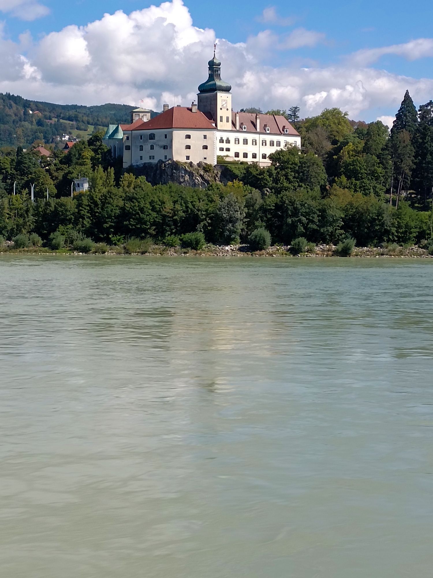
Aukapelle Mariae Heimsuchung
(237 m)
Miesto uctievania
16,9 km
Wallsee
(277 m)
Dedina
25,2 km
Sommerau
(234 m)
Dedina
27,1 km
Leitzing
(237 m)
Zúčtovanie
29,3 km
Parlament
(239 m)
Reštaurácia
29,3 km
Ardagger Markt
(234 m)
Dedina
35,3 km
Gasthaus Stöger
(235 m)
Reštaurácia
35,4 km
Gasthof Raderbauer-Mimmler
(236 m)
Reštaurácia
36,1 km
Steckerlfisch Freizeithafen Ardagger
(233 m)
Reštaurácia
37,9 km
Gasthaus Zur Donaubrücke
(241 m)
Reštaurácia
40,2 km
Ufer
(237 m)
Dedina
41,2 km
Grein
(232 m)
Mesto
41,8 km
Wiesen
(231 m)
Zúčtovanie
41,9 km
Hößgang
(271 m)
Dedina
43,6 km
Struden
(267 m)
Dedina
44,8 km
St. Nikola an der Donau
(236 m)
Dedina
45,7 km
Sarmingstein
(235 m)
Dedina
48,3 km
Gasthof Ziseritsch
(229 m)
Reštaurácia
51,2 km
Freyenstein
(228 m)
Zúčtovanie
51,3 km
Willersbach
(229 m)
Zúčtovanie
53,3 km
Guesthouse Krenn
(230 m)
Reštaurácia
53,3 km
Teuch
(228 m)
Zúčtovanie
56,0 km
Donaudorf
(229 m)
Zúčtovanie
58,8 km
Bistro Mogador
(236 m)
Reštaurácia
60,4 km
Calisthenics
(220 m)
Detské ihrisko
61,3 km
Reifenlaufen
(220 m)
Detské ihrisko
61,3 km
Armzug
(220 m)
Detské ihrisko
61,3 km
Liegestützen
(219 m)
Detské ihrisko
61,3 km
Beinheber / Situps
(220 m)
Detské ihrisko
61,3 km
Rückenstrecken Universal
(220 m)
Detské ihrisko
61,3 km
Kipp-Gleiter
(219 m)
Detské ihrisko
61,3 km
Springfeld
(220 m)
Detské ihrisko
61,3 km
Gehschule
(219 m)
Detské ihrisko
61,3 km
Oberkörper-Ergometer
(219 m)
Detské ihrisko
61,3 km
Schwebende Platform
(219 m)
Detské ihrisko
61,4 km
Trampolin
(219 m)
Detské ihrisko
61,4 km
Pedalostrecke
(219 m)
Detské ihrisko
61,4 km
Balancierstrecke Bergheim
(219 m)
Detské ihrisko
61,4 km
Ybbser Donau Panoramablick
(218 m)
Uhol pohľadu
62,0 km
Kath. Pfarrkirche hl. Laurentius
(224 m)
Miesto uctievania
62,1 km
Ybbs an der Donau
(220 m)
Mesto
62,2 km
Sarling
(240 m)
Dedina
66,0 km
Säusenstein
(244 m)
Dedina
68,5 km
Metzling
(218 m)
Dedina
69,3 km
Diedersdorf
(222 m)
Dedina
70,0 km
Mostheuriger Stöckl
(221 m)
Reštaurácia
70,1 km
Wallenbach
(222 m)
Dedina
71,4 km
Granz
(218 m)
Dedina
71,8 km
Gasthaus Schiffmeister
(216 m)
Reštaurácia
72,7 km
Annastift
(256 m)
Dedina
72,7 km
Marbach an der Donau
(216 m)
Dedina
72,9 km
Krummnußbaum
(219 m)
Dedina
73,7 km
Am Rechen
(214 m)
Dedina
76,2 km
Hafenwirt
(217 m)
Reštaurácia
76,5 km
Pöchlarn
(215 m)
Mesto
77,7 km
Luftschutzstollen
(219 m)
Vchod do jaskyne
88,9 km
Melk
(213 m)
Mesto
89,5 km
Stollen
(227 m)
Vchod do jaskyne
91,2 km
Lodge Szilágyi
(210 m)
Reštaurácia
93,4 km
Schönbühel an der Donau
(210 m)
Dedina
93,7 km
Restaurant Residenz Wachau
(208 m)
Reštaurácia
98,7 km
Aggsbach Markt
(216 m)
Dedina
98,7 km
Aggstein
(209 m)
Zúčtovanie
100,2 km
Aggsteinerhof
(208 m)
Reštaurácia
100,8 km
Filialkirche Johannes der Täufer
(211 m)
Miesto uctievania
103,9 km
St. Johann im Mauerthale
(210 m)
Zúčtovanie
103,9 km
Schwallenbach
(214 m)
Dedina
104,2 km
Oberarnsdorf
(207 m)
Dedina
105,5 km
Spitz
(204 m)
Dedina
106,4 km
Rollfähre Spitz Arnsdorf
(198 m)
Prístavisko trajektu
106,7 km
Hofarnsdorf
(211 m)
Dedina
107,5 km
Pfarrkirche hl. Rupert
(206 m)
Miesto uctievania
107,6 km
Filialkirche hl. Katharina
(206 m)
Miesto uctievania
107,8 km
Mitterarnsdorf
(212 m)
Dedina
108,2 km
Bacharnsdorf
(208 m)
Dedina
108,8 km
Wösendorf
(207 m)
Dedina
110,2 km
Unterkienstock
(215 m)
Koridor/terén
111,3 km
Sankt Lorenz
(201 m)
Zúčtovanie
112,5 km
Rührsdorf
(202 m)
Dedina
113,7 km
Rossatz
(216 m)
Dedina
115,6 km
Rossatzbach
(203 m)
Dedina
116,7 km
Oberloiben
(202 m)
Dedina
118,3 km
Unterloiben
(202 m)
Dedina
119,0 km
Hundsheim
(199 m)
Dedina
120,2 km
Filialkirche hl. Johannes der Täufer
(199 m)
Miesto uctievania
120,2 km
Mauternbach
(208 m)
Dedina
120,6 km
Mautern an der Donau
(202 m)
Dedina
122,4 km
Krems an der Donau
(199 m)
Mesto
126,7 km
Kleedorf
(211 m)
Zúčtovanie
132,2 km
Hollenburg
(197 m)
Dedina
132,9 km
porto velo
(196 m)
Reštaurácia
133,0 km
Donaurestaurant
(195 m)
Reštaurácia
139,2 km
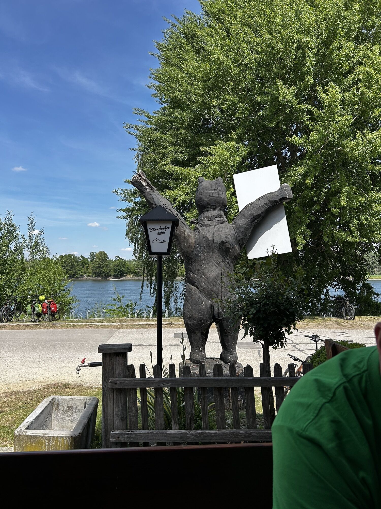
Bärndorfer Hütte
(184 m)
Reštaurácia
151,1 km
Zwentendorf an der Donau
(185 m)
Dedina
153,2 km
St. Hubertus
(182 m)
Miesto uctievania
154,5 km
Kleinschönbichl
(184 m)
Dedina
155,3 km
Pischelsdorf
(182 m)
Dedina
157,1 km
Heurigenschank Marschall
(181 m)
Reštaurácia
159,8 km
Hl. Nikolaus
(180 m)
Miesto uctievania
159,9 km
Gasthaus Ehn
(180 m)
Reštaurácia
160,0 km
Langenschönbichl
(179 m)
Dedina
160,0 km
Kronau
(178 m)
Dedina
162,2 km
Pfeili's Platz
(179 m)
Piknikový stôl
163,9 km
Tulln an der Donau
(179 m)
Mesto
166,7 km
Langenlebarn - Oberaigen
(176 m)
Dedina
170,4 km
Donaukapelle
(176 m)
Miesto uctievania
171,2 km
Langenlebarn - Unteraigen
(175 m)
Dedina
172,3 km
Muckendorf an der Donau
(171 m)
Dedina
174,2 km
Donaustüberl
(179 m)
Reštaurácia
175,0 km
Donauschänke Härtel
(173 m)
Reštaurácia
175,9 km
Spielplatz Hafenkneipe Greifenstein
(179 m)
Detské ihrisko
178,5 km
Restaurant Wasserskischule
(179 m)
Reštaurácia
178,5 km
Alte Hafenschenke
(169 m)
Reštaurácia
181,0 km
Greifenstein
(182 m)
Dedina
181,2 km
Brauner Bär
(175 m)
Reštaurácia
181,7 km
Höflein an der Donau
(171 m)
Dedina
184,2 km
Kritzendorf
(170 m)
Železničná stanica
187,1 km
Kritzendorf
(193 m)
Dedina
187,3 km
Klosterneuburg
(194 m)
Mesto
190,5 km
Flamingo
(163 m)
Reštaurácia
194,7 km
Kahlenbergerdorf
(174 m)
Susedstvo
195,5 km
Vienna
(172 m)
Mesto
195,5 km
Informácie o prehliadke
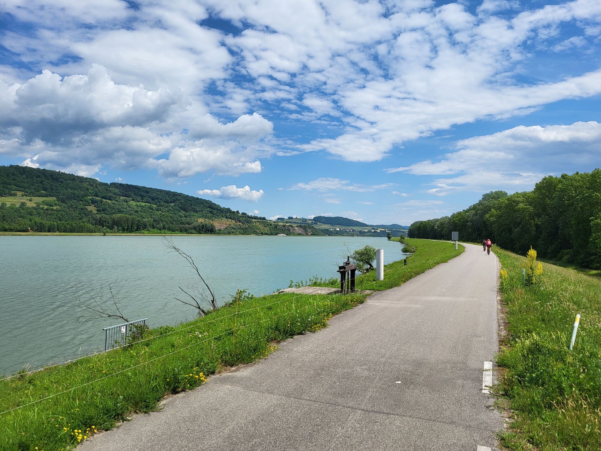
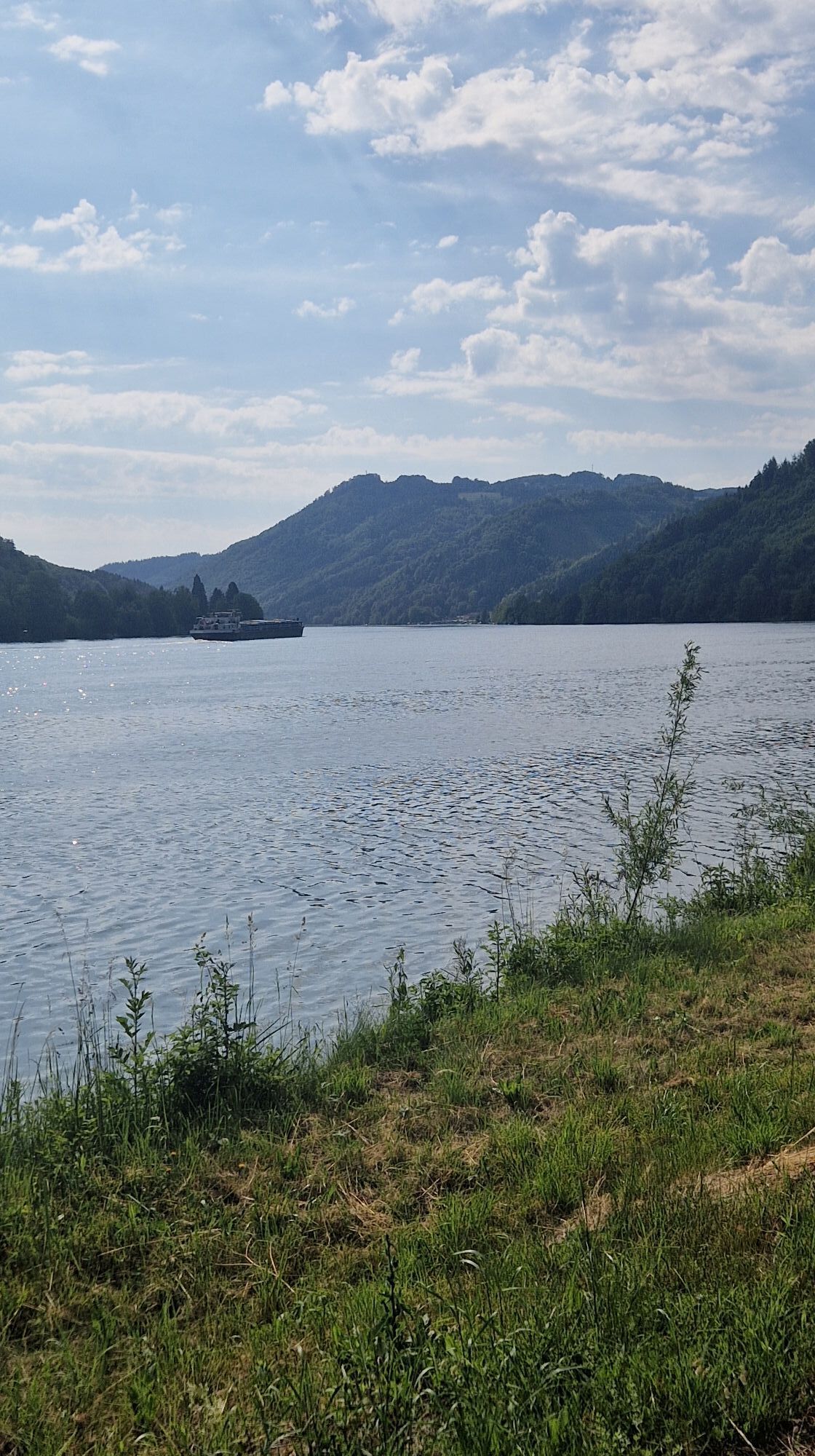
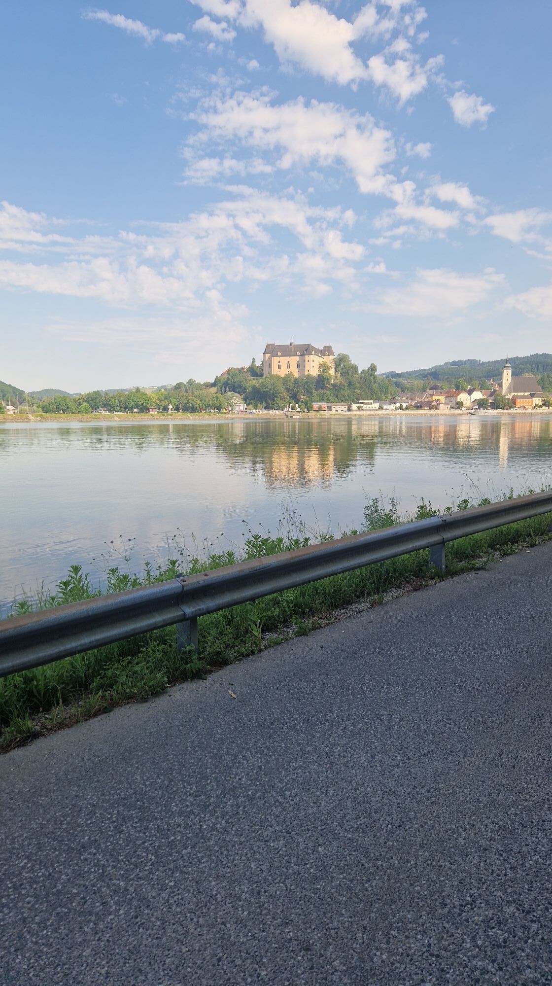
The Danube cycle path is one of the most popular and certainly most beautiful cycling routes in Europe and thus was awarded by the ADFC (Allgemeinen Deutschen Fahrrad-Club) with a certificate of quality. Recently the Donauradweg (Danube cycle path) was awarded four out of five possible stars.

 Approximately 260 kilometres of the European section run along the Danube in lower Austria by Ybbs/Persenbeug until Hainburg at the border to Slovakia.

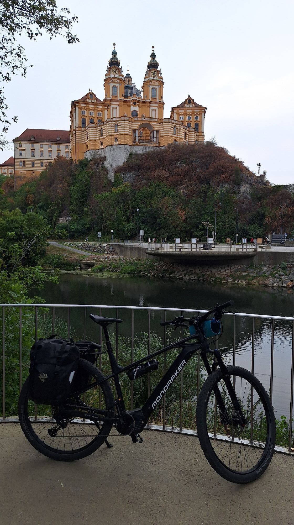
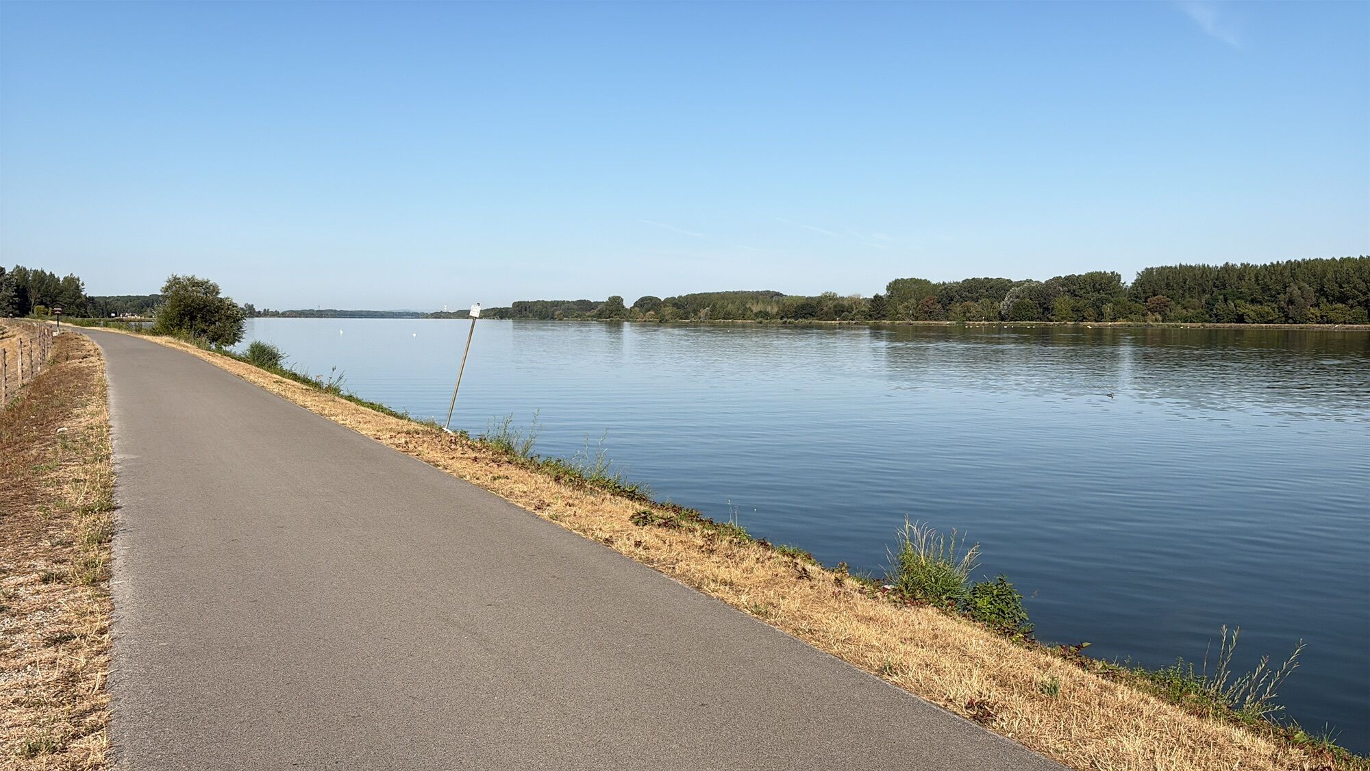
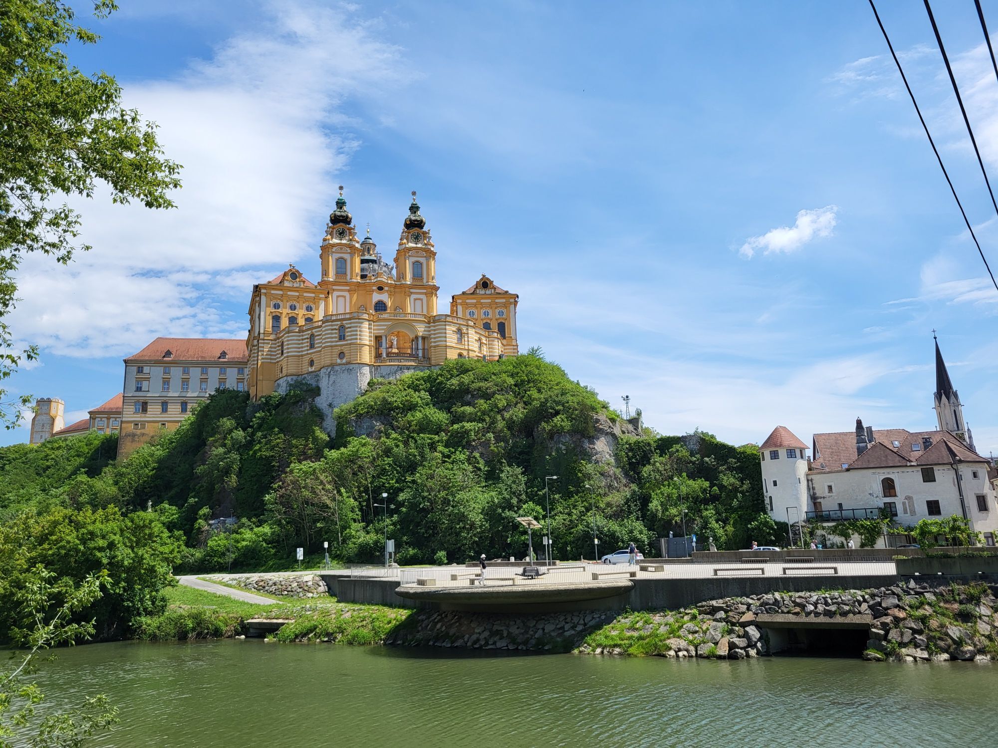
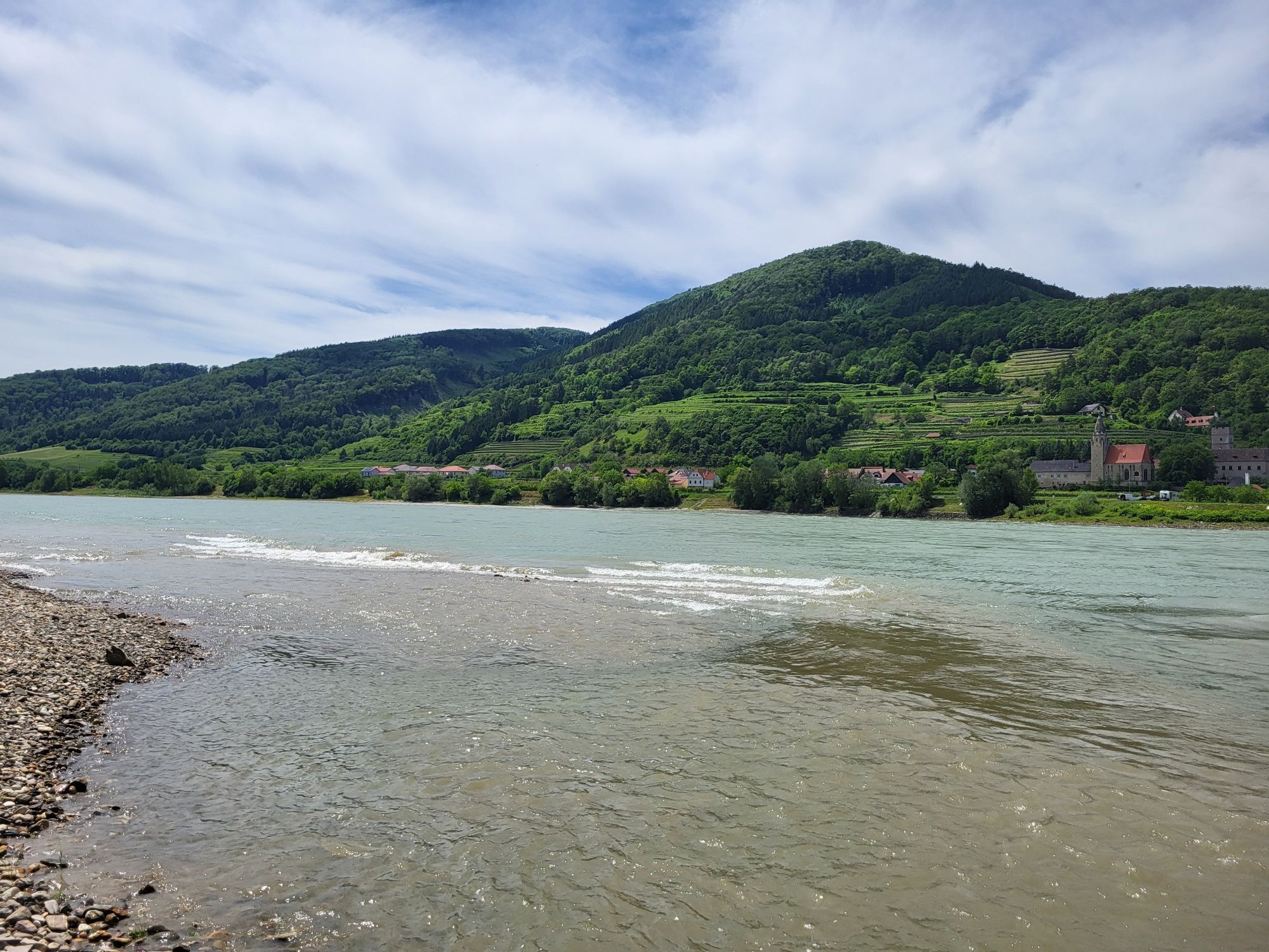
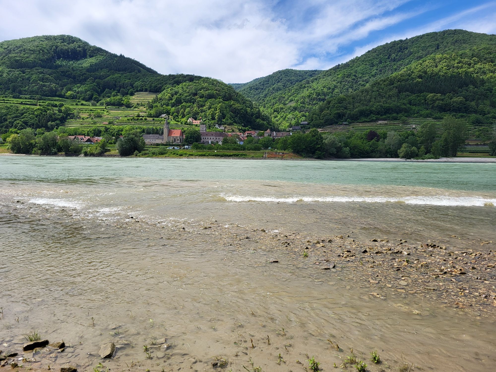
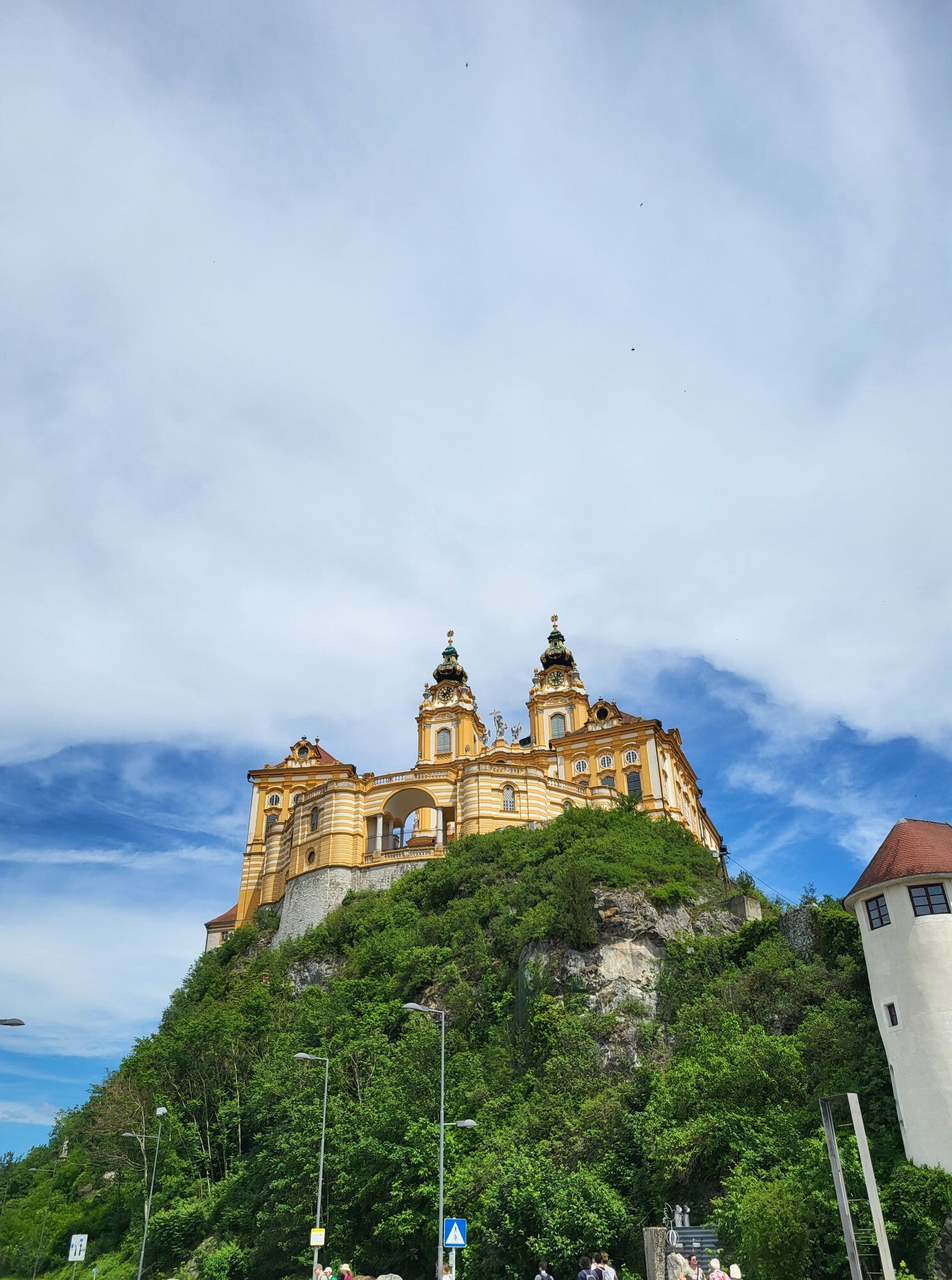
The path runs almost entirely on Towpaths directly alongside the River, and through three other very different regions. Rich in history and tradition are the Nibelungengau and the Wachau, both UNESO world heritage sites, which feature charming River Valleys and wine regions at a world-class level. Extraordinary cultural highlights are promised by the numerous museums, churches, castles and monasteries like the Abbey of Melk and Göttweig. There are many places to enjoy fine wines and fine regional cuisine: the spectrum ranges from simple cuisine up to award-winning restaurants.

The Tullner Danube area together with the wine region of Wagram offers colorful stages and wide views. The Egon Schiele Museum and the Minorite monastery in Tulln inspire visitors from near and far. An exceptional amassing of contemporary arts is the art collection of Essl which may be viewed in Klosterneuburg. Abbey Klosterneuburg is also worth a visit due to its famous Verdun altar.

The Roman region Carnuntum-Marchfeld, which lies East of Vienna, invites to explore a wide array of fabulous worlds. The Archaeological Park Carnuntum, which tells the exciting story of the Romans is a site worth stopping by. Schloss Hof and Schloss Niederweiden create noticeable Baroque zest for life since they were once the 'Party Palaces' of Maria Theresa and Prince Eugene. The Donau-Auen National Park harbors one of the last great unspoilt River meadows and nourishes a wide variety of plants and animals.

Technológia
1 / 6
Stav
6 / 6
Krajina
6 / 6
Skúsenosti
5 / 6
Prístupné po celý rok
Jan
Feb
Mar
Apr
Máj
Jún
Júl
Aug
Sep
Okt
Nov
Dec
Zdieľať prehliadku
Mapa
Donauradweg (cycle path) NÖ South shore
ťažké
Diaľková cyklotrasa
195,63 km
Chyba
Vyskytla sa chyba. Prosím, skúste to znova.
Naposledy sledované pred týždňom
Informácie o trase
Vhodné pre rodiny

Áno

Ďalšie informácie a tipy
Úroveň náročnosti

1
Ďalšie informácie
Bike summer days in the Wachau

3 Nights with half board (including 1 wine menu), welcome drink, 1 guided Wachau cycling tour with Danube boats ride, 1 guided Dorfradltour (village bike tour), bicycles for the time of stay, admission and guided tour in the Stift (monastery) Melk

pP in double room from € 301,-

Dates 2010 on request

Valid: from 2 persons

Arrival possible only Sunday or Thursday.

The Danube cycle path folder describes the Austrian Danube cycle path from Passau to Bratislava. The Danube - adventure map informs about all attractions. Valuable sources of information are also the brochures with accommodation directories of the three Danube regions: Wachau Nibelungengau, Tullner Danube area-Wagram and Auland-Carnuntum. All brochures are free of charge at Donau Niederösterreich tourism, T + 43 (0) 2713 / 300 60 60, www.donau.com.

Information and booking: 

Donau Niederösterreich tourism

T + 43 (0) 2713 / 300 60 60

Urlaub@Donau.com 

www.Donau.com

Tipy
Detours:

Again and again, there are bike routes that branch off from the Danube cycle path into the countryside. Here there is much to discover, especially in the Roman country Carnuntum-Marchfeld East of Vienna. Here lead seven different, between 30 up 25-mile, bike paths on the traces of history, culture and nature: the Roman tour, the line tour, the wine tour and the nature-wine tour are on the South Bank. On the North Shore, cyclists can choose between the nature tour, the Castles tour or the nature-Castles tour.

Bike and boat

Who would like to see the banks of the Danube from a different perspective - namely from the ship; an opportunity for cyclists as well. In the Wachau, between Krems and Melk, are several shipping companies in operation. On the boat connections between Vienna and the Wachau Valley bikes can be taken along as well. Practical are also the Danube ferries, for example the Rollfähre (ferry) that connects, in the summer, Korneuburg and Klosterneuburg.

Zatiaľ žiadne recenzie
Napíšte recenziu

Recenzie pomáhajú ostatným používateľom vybrať si ďalšie dobrodružstvo. Prosím, hodnoťte len prehliadku, nie počasie alebo občerstvenie.

Vyberte jednu z hviezdičiek a ohodnoťte prehliadku
Zlé turné
Slabé turné
Priemerné turné
Dobrá prehliadka
Vynikajúca prehliadka
bergfex logo Získajte prehľad Vždy naživo na mieste s viac ako 9 500 webovými kamerami. bergfex Ako používateľ Pro si teraz môžete pozrieť príslušné webové kamery pre mnohé zájazdy v aplikácii zájazdy z. Môžete si tak priamo prezerať aktuálne podmienky.
Turistika a stopovanie

Turistika a stopovanie

Turistika a stopovanie
Viac ako 550.000 návrhov výletov, podrobné mapy a intuitívny plánovač trás robia z aplikácie povinnú výbavu pre všetkých nadšencov prírody.
bergfex