


Wachau World Heritage Trail


Fotografie našich používateľov
-

 © Thomas Bauer 16Vytvorené dňa 15.01.2023
 -
 © Walter KöllnerVytvorené dňa 24.10.2025
 -
 © Walter KöllnerVytvorené dňa 24.10.2025
 -
 © Walter KöllnerVytvorené dňa 24.10.2025
 -
 © Walter KöllnerVytvorené dňa 24.10.2025
 -
 © Walter KöllnerVytvorené dňa 24.10.2025
 -
 © Walter KöllnerVytvorené dňa 24.10.2025
 -
 © Walter KöllnerVytvorené dňa 24.10.2025
 -
 © Walter KöllnerVytvorené dňa 24.10.2025
 -
 © Walter KöllnerVytvorené dňa 24.10.2025
 -
 © Walter KöllnerVytvorené dňa 24.10.2025
 -
 © Walter KöllnerVytvorené dňa 24.10.2025
 -
 © Walter KöllnerVytvorené dňa 24.10.2025
 -
 © Walter KöllnerVytvorené dňa 24.10.2025
 -
 © Walter KöllnerVytvorené dňa 24.10.2025
 -
 © Walter KöllnerVytvorené dňa 24.10.2025
 -
 © wodVytvorené dňa 23.10.2025
 -
 © wodVytvorené dňa 23.10.2025
 -
 © wodVytvorené dňa 23.10.2025
 -
 © wodVytvorené dňa 20.10.2025
 -

 © Alfred WeberVytvorené dňa 12.10.2025
 -
 © Alfred WeberVytvorené dňa 12.10.2025
 -
 © Alfred WeberVytvorené dňa 12.10.2025
 -
 © Alfred WeberVytvorené dňa 12.10.2025
 -
 © Alfred WeberVytvorené dňa 12.10.2025
 -
 © Alfred WeberVytvorené dňa 12.10.2025
 -
 © Alfred WeberVytvorené dňa 12.10.2025
 -
 © Alfred WeberVytvorené dňa 12.10.2025
 -
 © Alfred WeberVytvorené dňa 12.10.2025
 -
 © Alfred WeberVytvorené dňa 12.10.2025
 -

 © Hermann CzerwenyVytvorené dňa 12.10.2025
 -
 © Hermann CzerwenyVytvorené dňa 12.10.2025
 -
 © Erich BachmayerVytvorené dňa 11.10.2025
 -
 © Erich BachmayerVytvorené dňa 11.10.2025
 -
 © Erich BachmayerVytvorené dňa 11.10.2025
 -
 © Erich BachmayerVytvorené dňa 11.10.2025
 -
 © Erich BachmayerVytvorené dňa 11.10.2025
 -
 © Stephan NesslVytvorené dňa 11.10.2025
 -
 © MarcoVytvorené dňa 05.10.2025
 -
 © MarcoVytvorené dňa 05.10.2025
 -
 © MarcoVytvorené dňa 05.10.2025
 -
 © kristianduusVytvorené dňa 04.10.2025
 -
 © kristianduusVytvorené dňa 04.10.2025
 -
 © kristianduusVytvorené dňa 04.10.2025
 -
 © kristianduusVytvorené dňa 04.10.2025
 -
 © kristianduusVytvorené dňa 04.10.2025
 -
 © kristianduusVytvorené dňa 04.10.2025
 -
 © kristianduusVytvorené dňa 04.10.2025

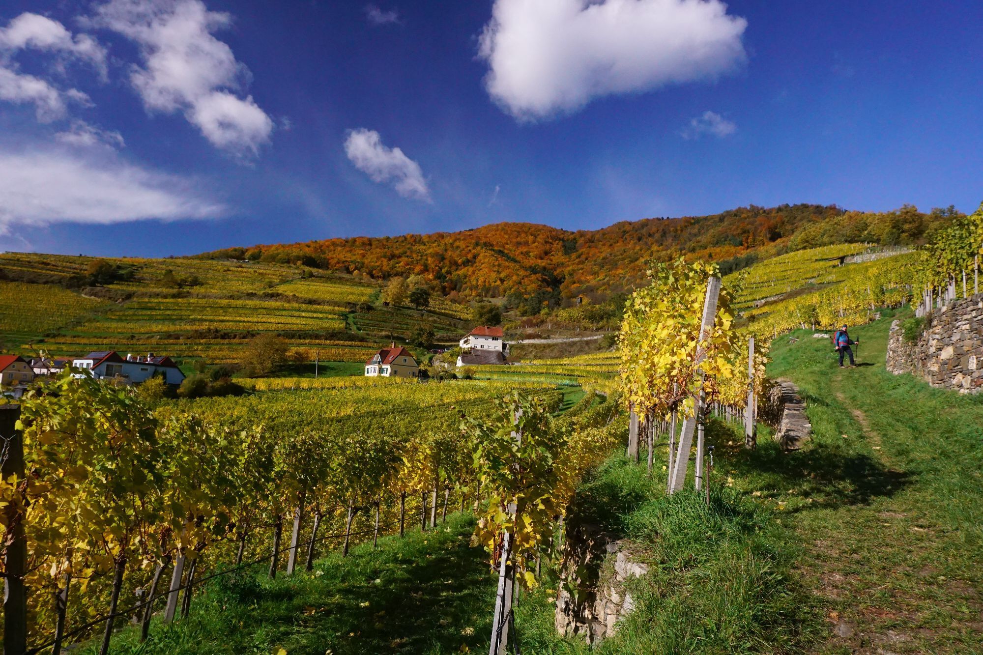


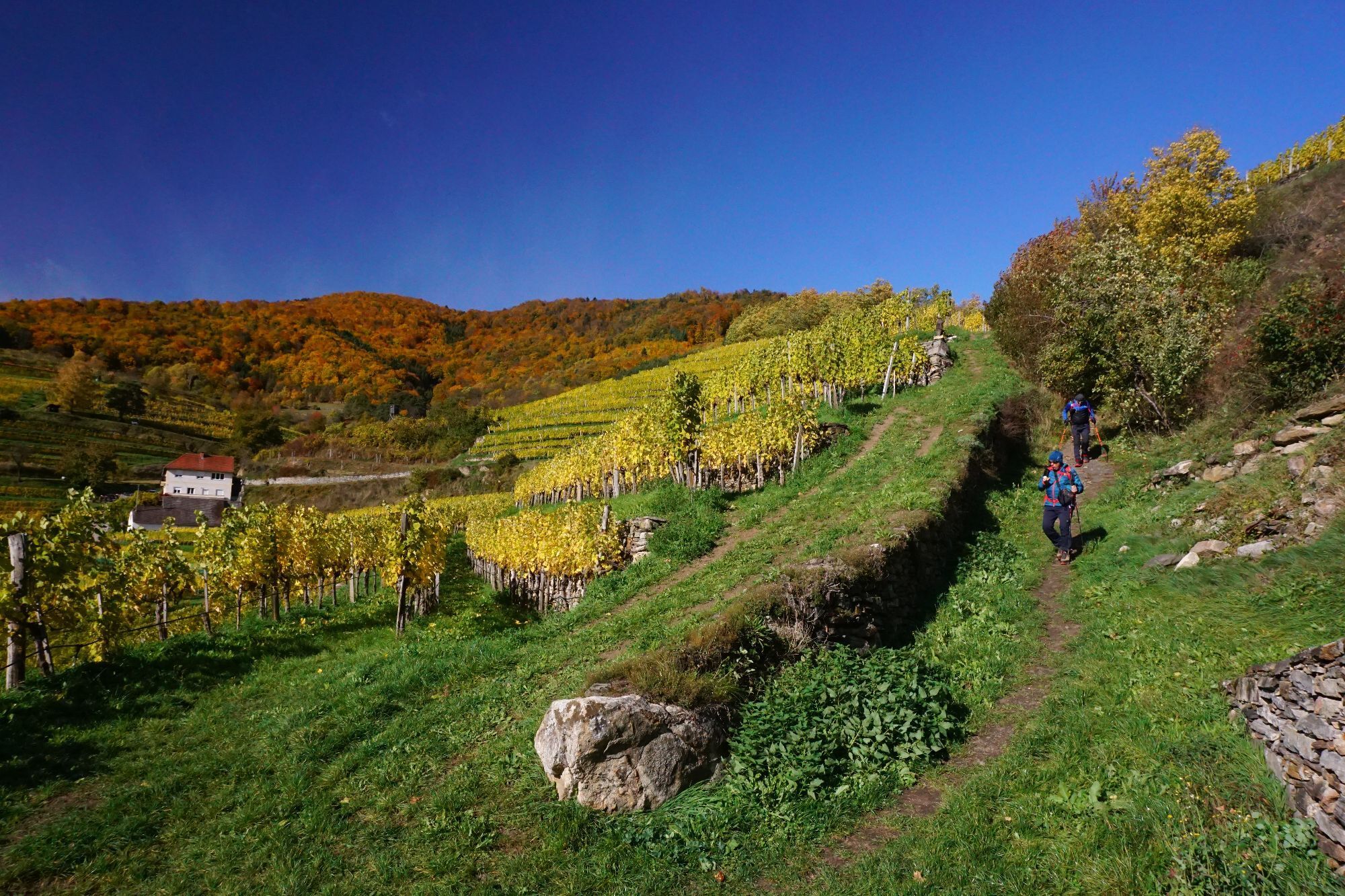
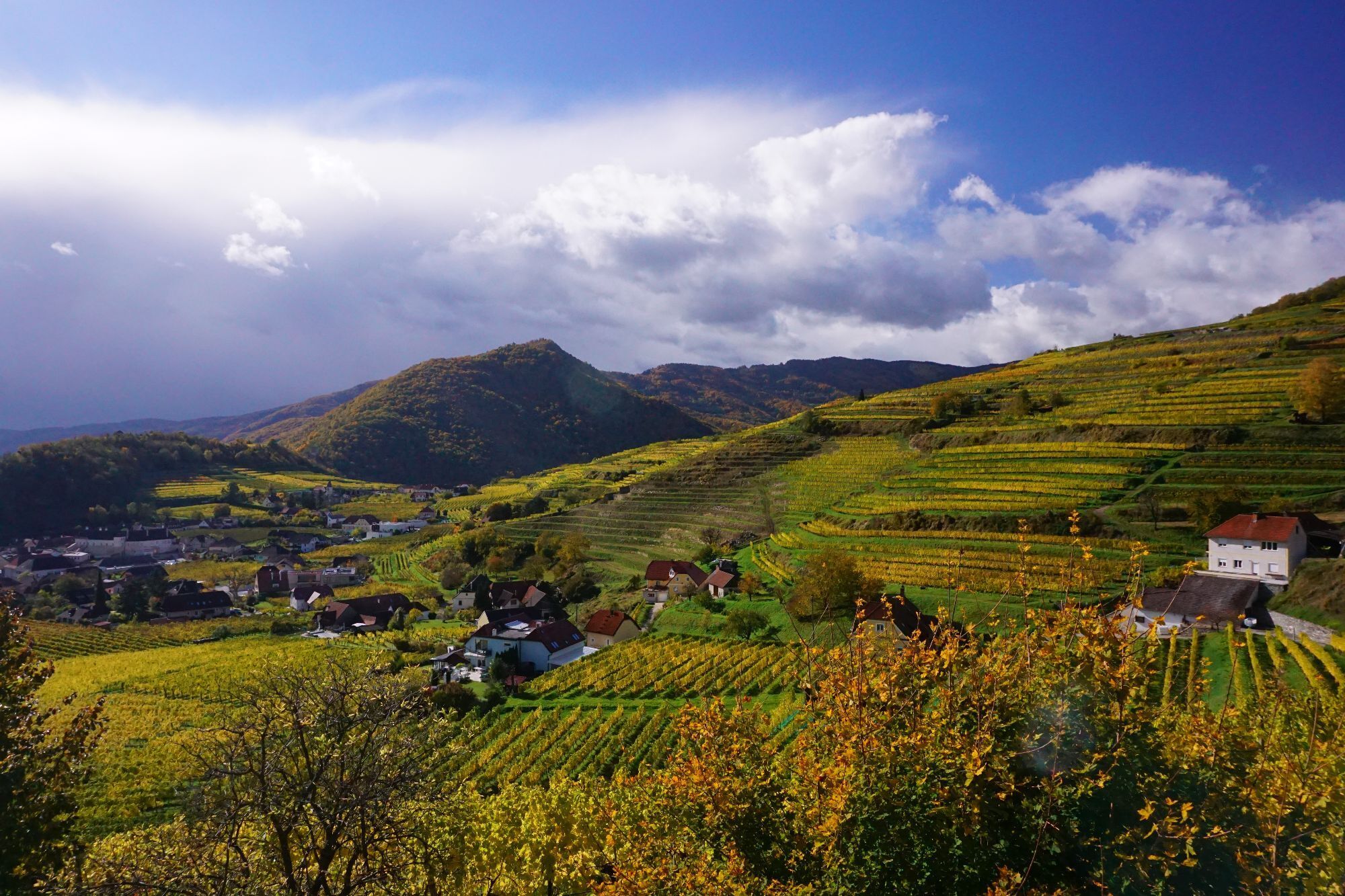
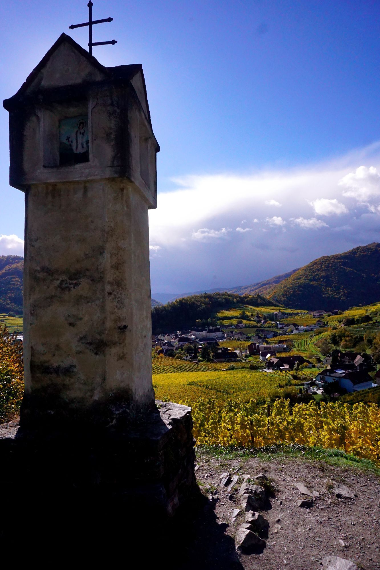
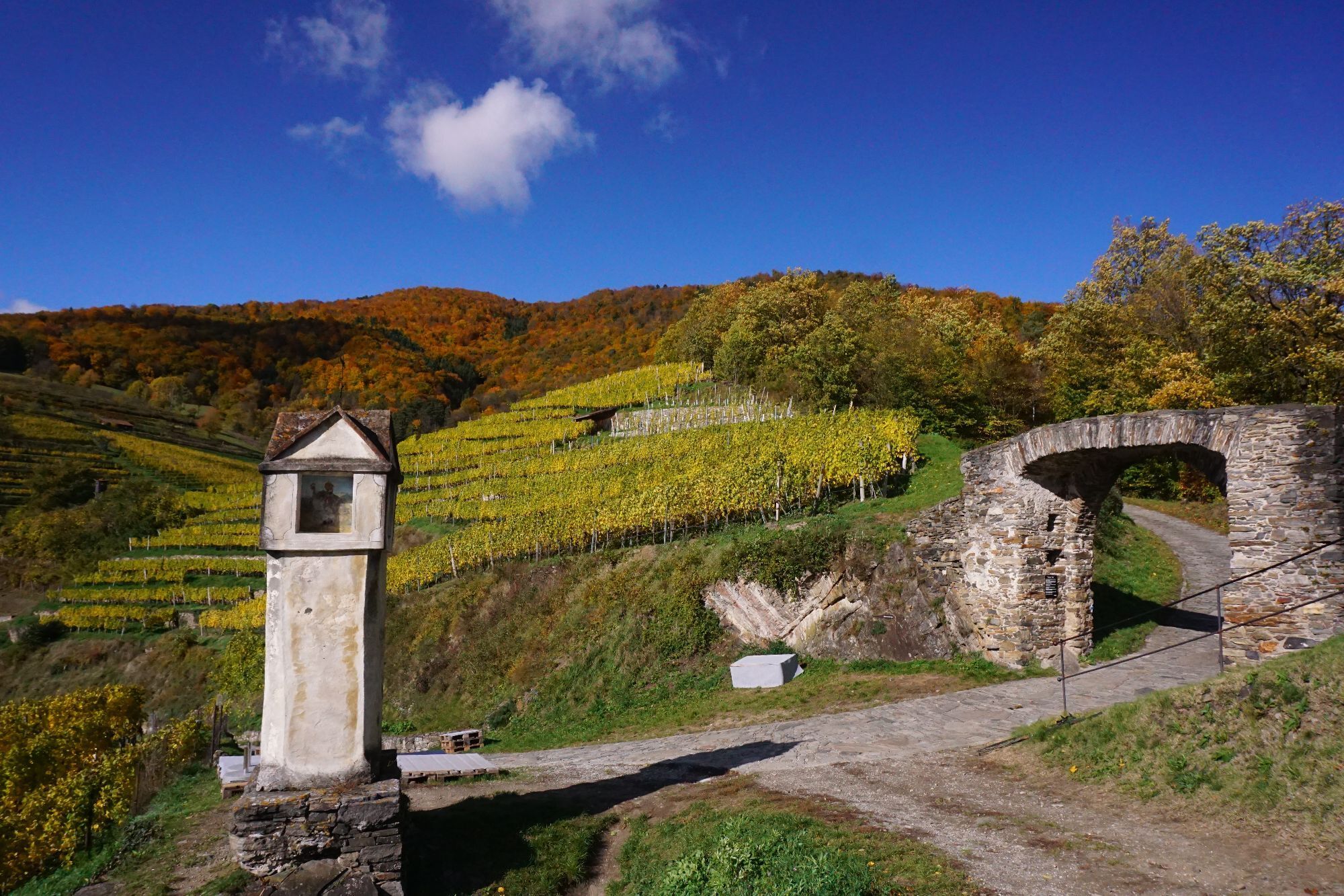
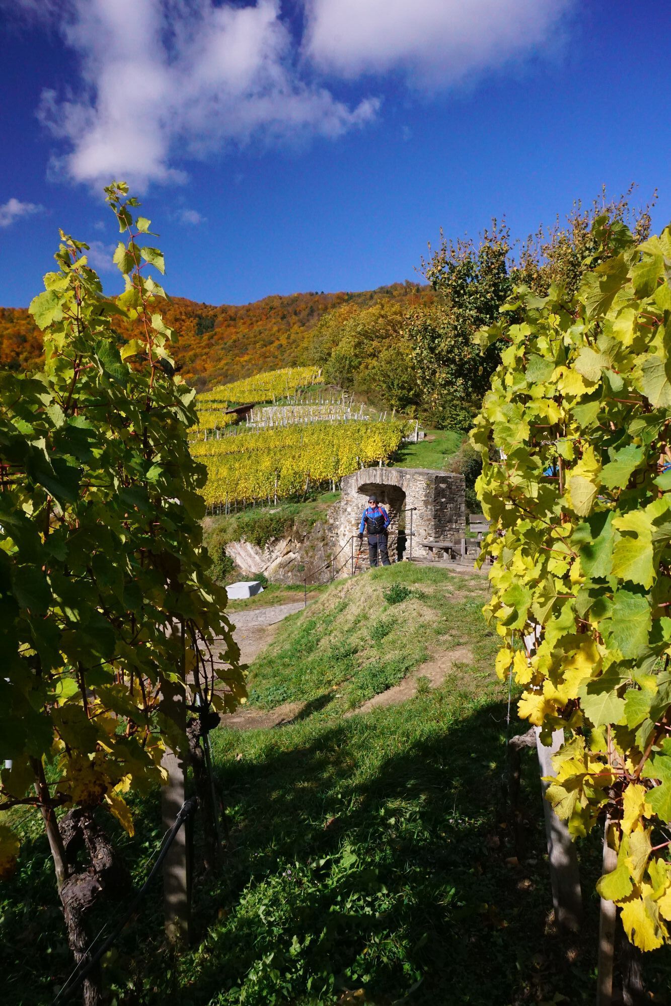
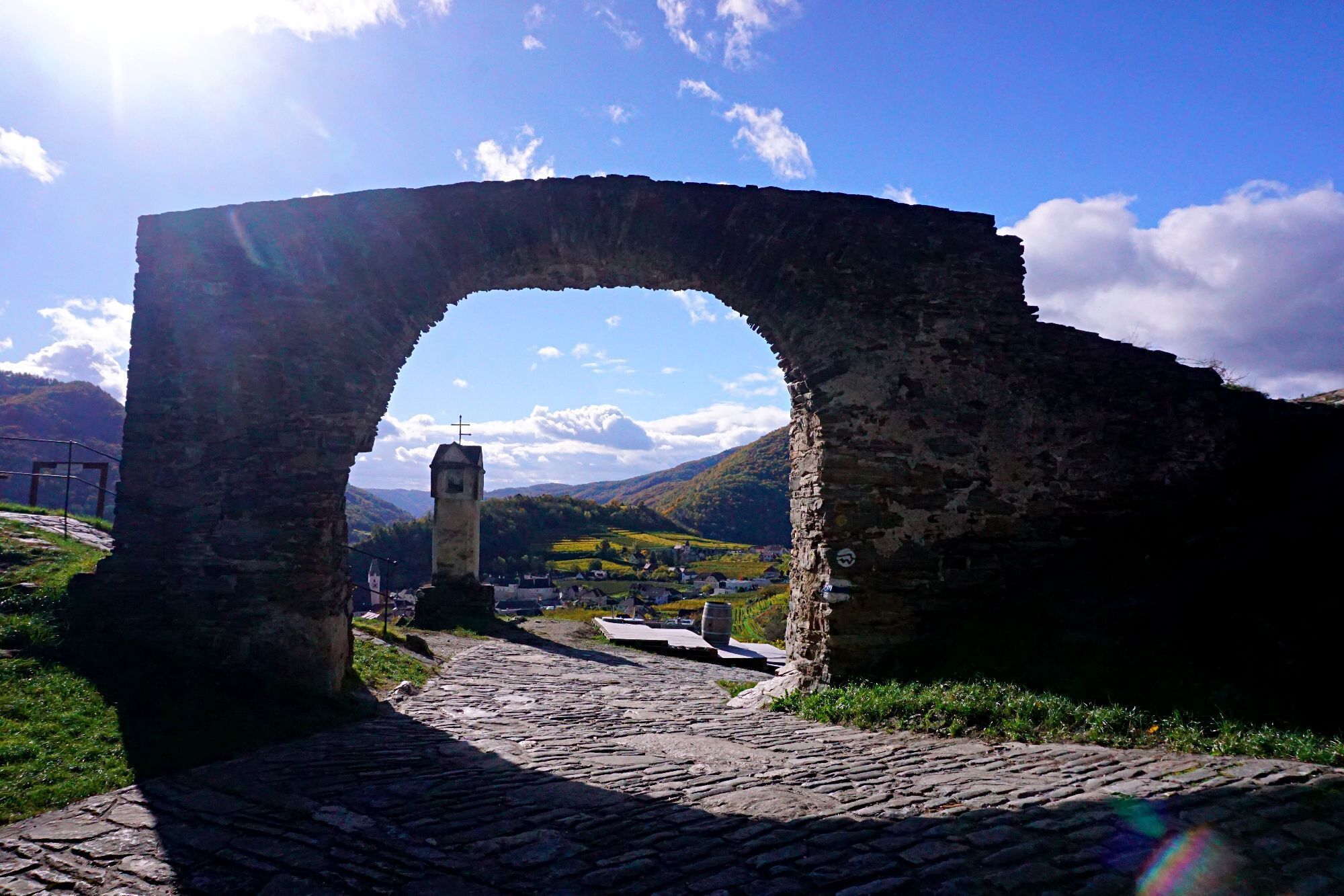

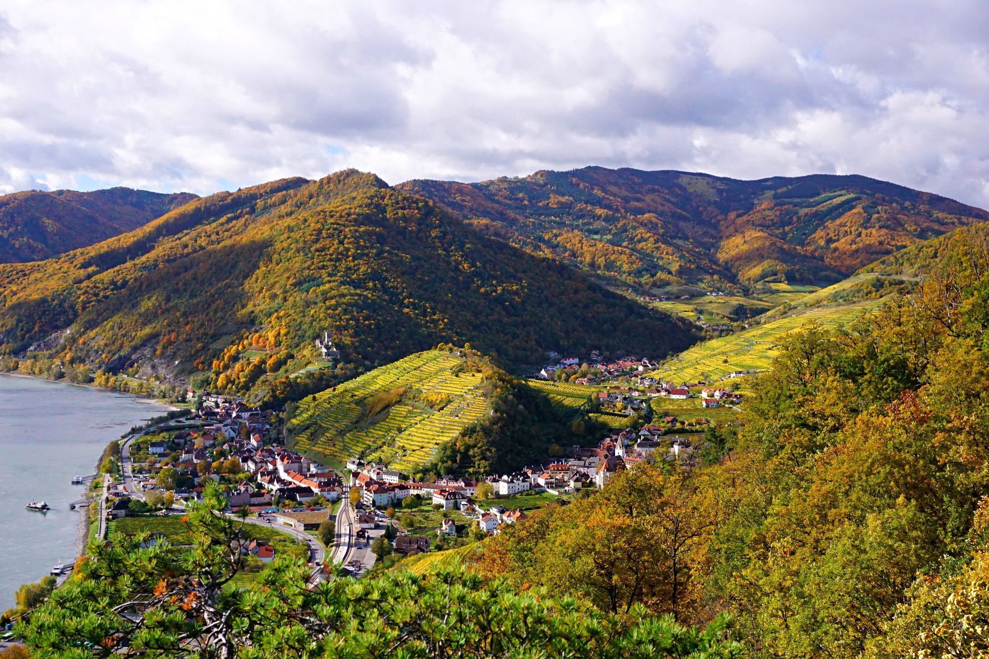
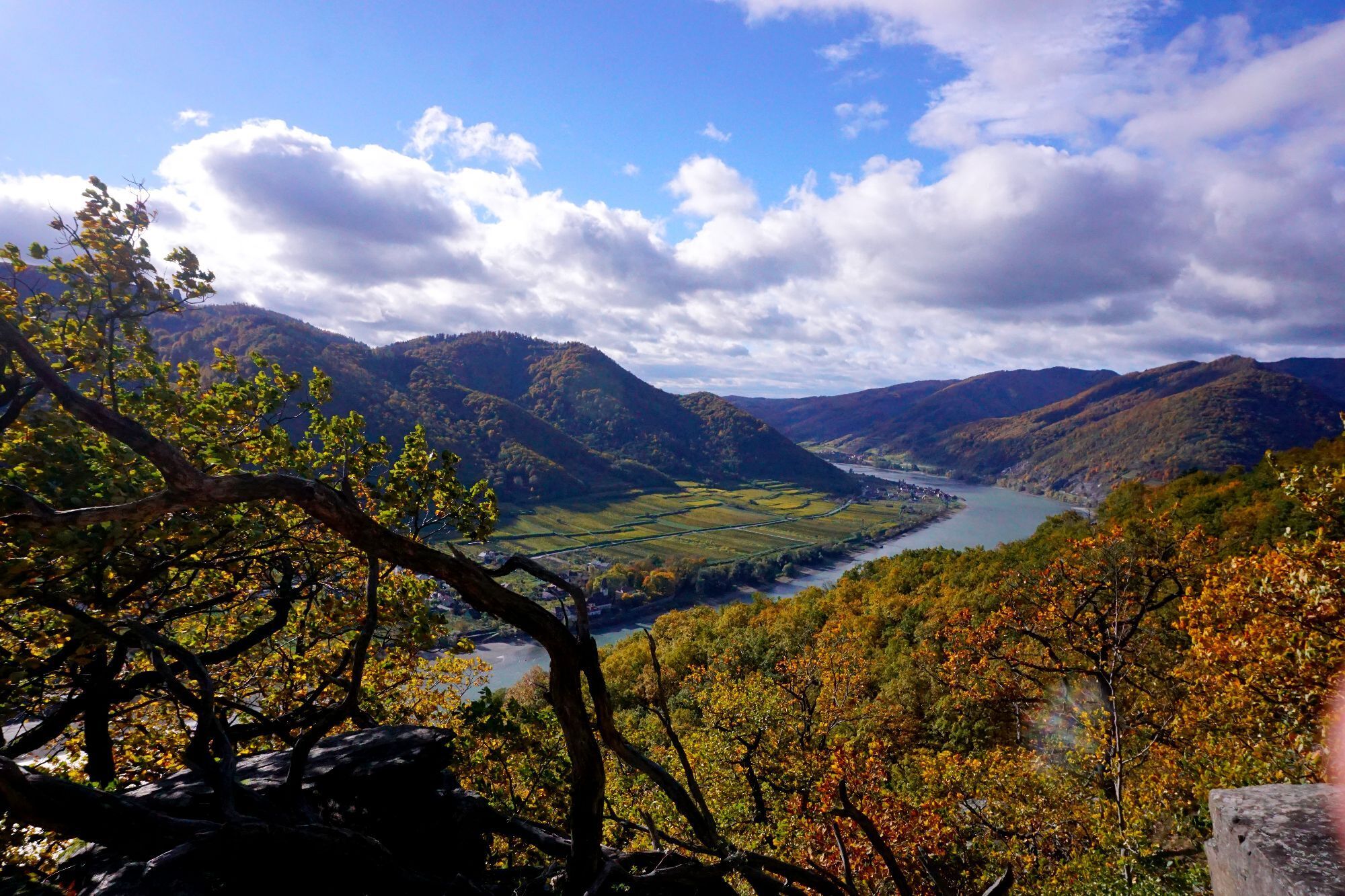

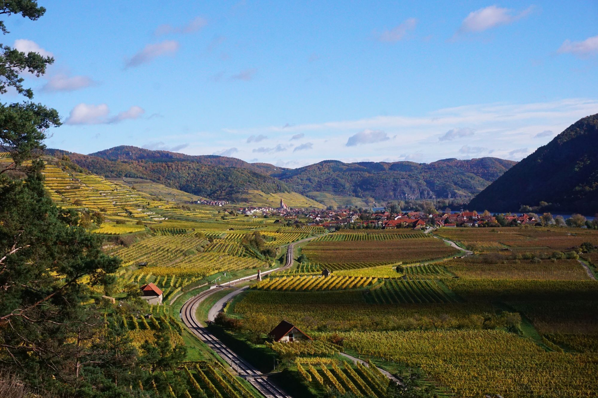
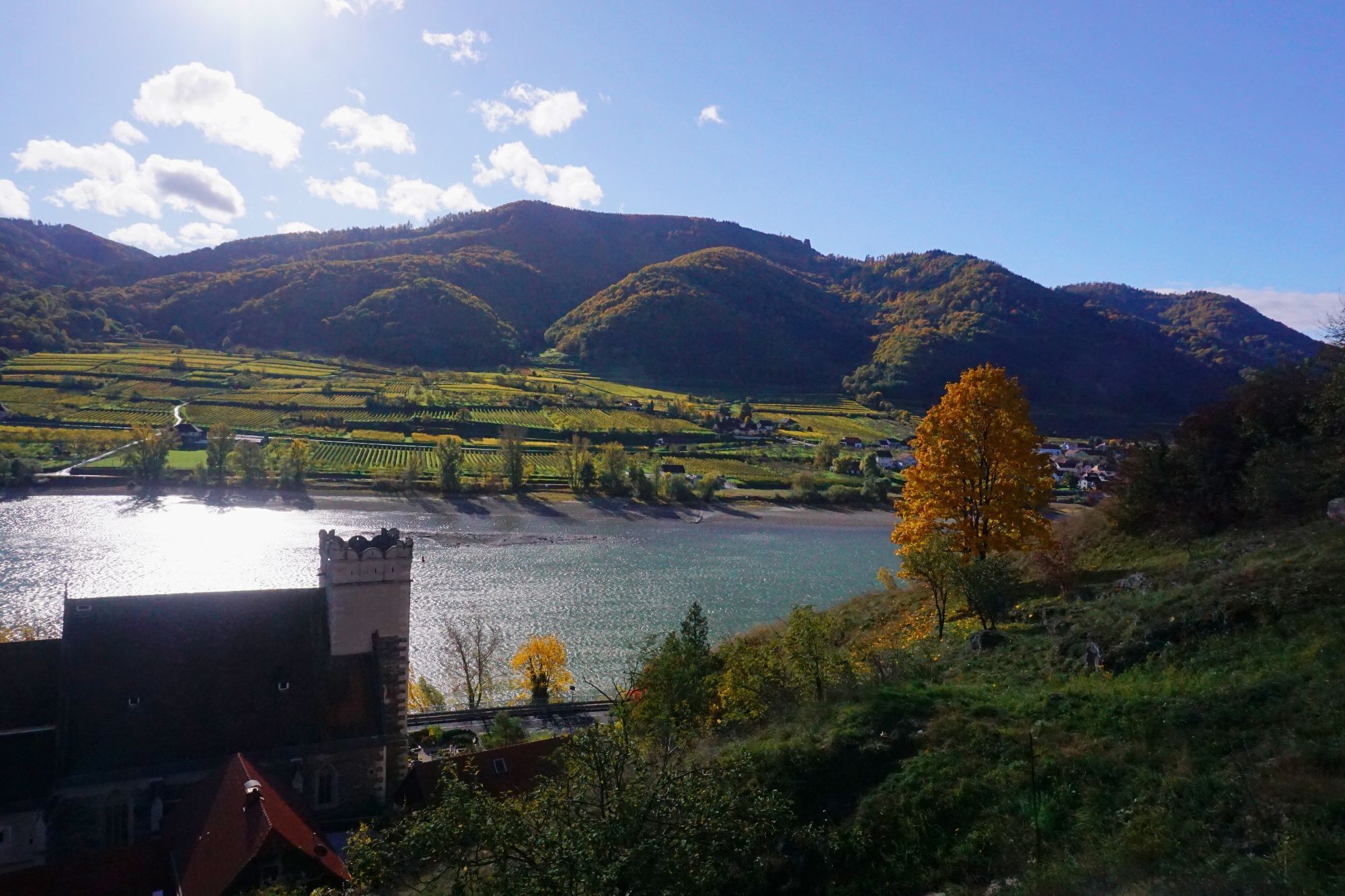
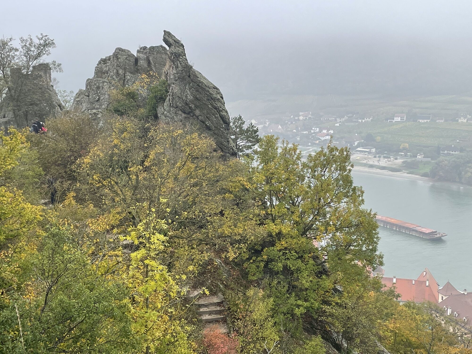
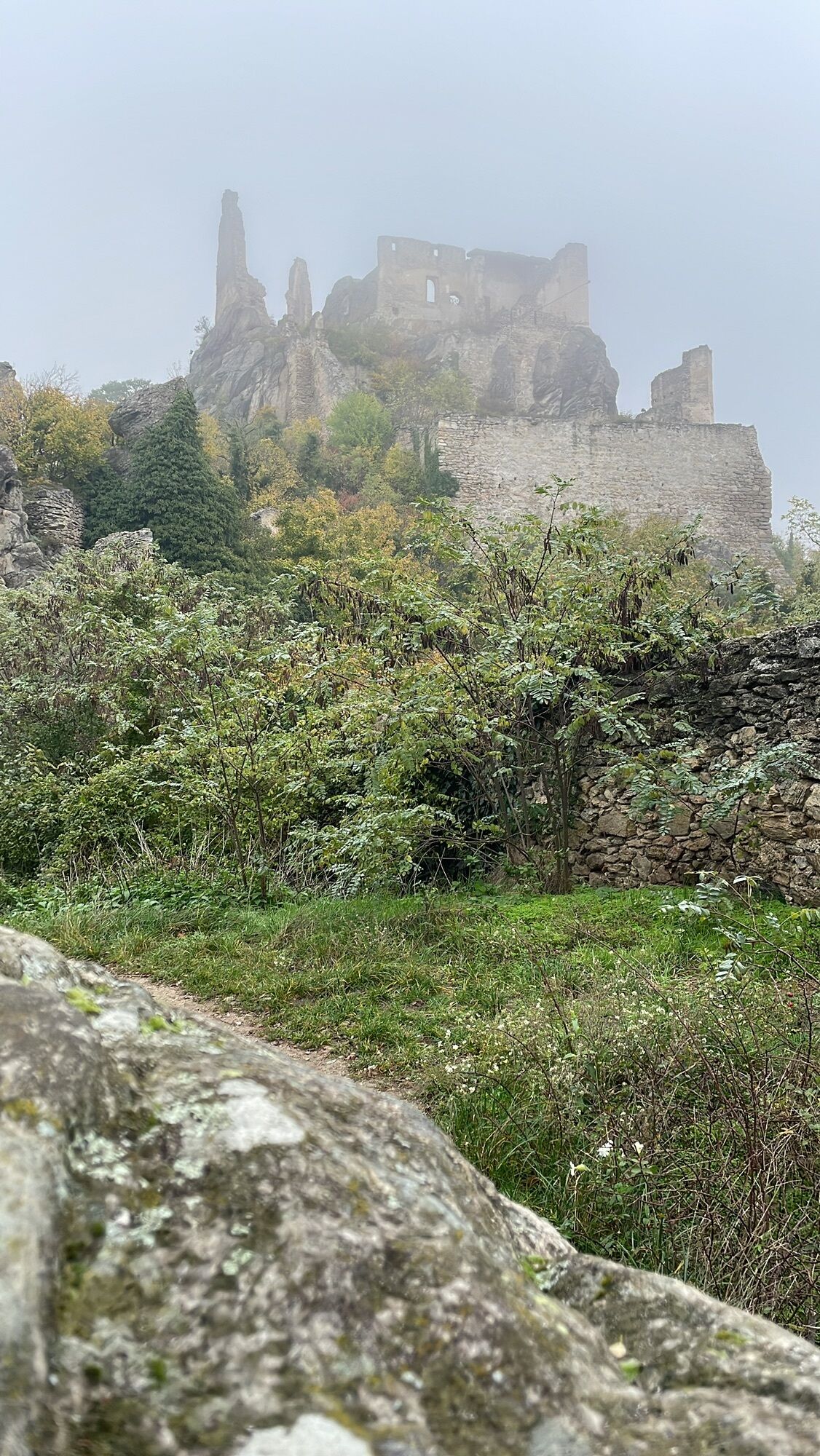
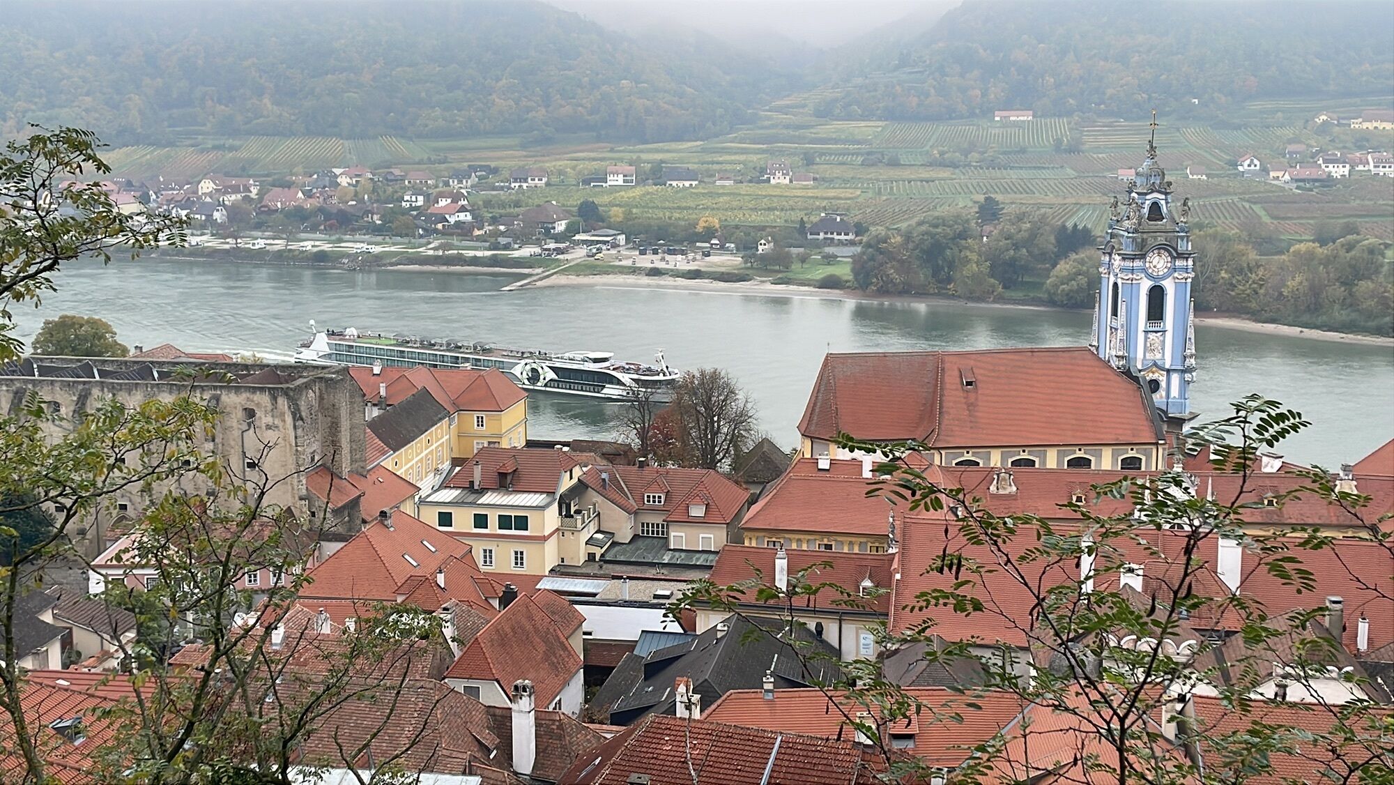
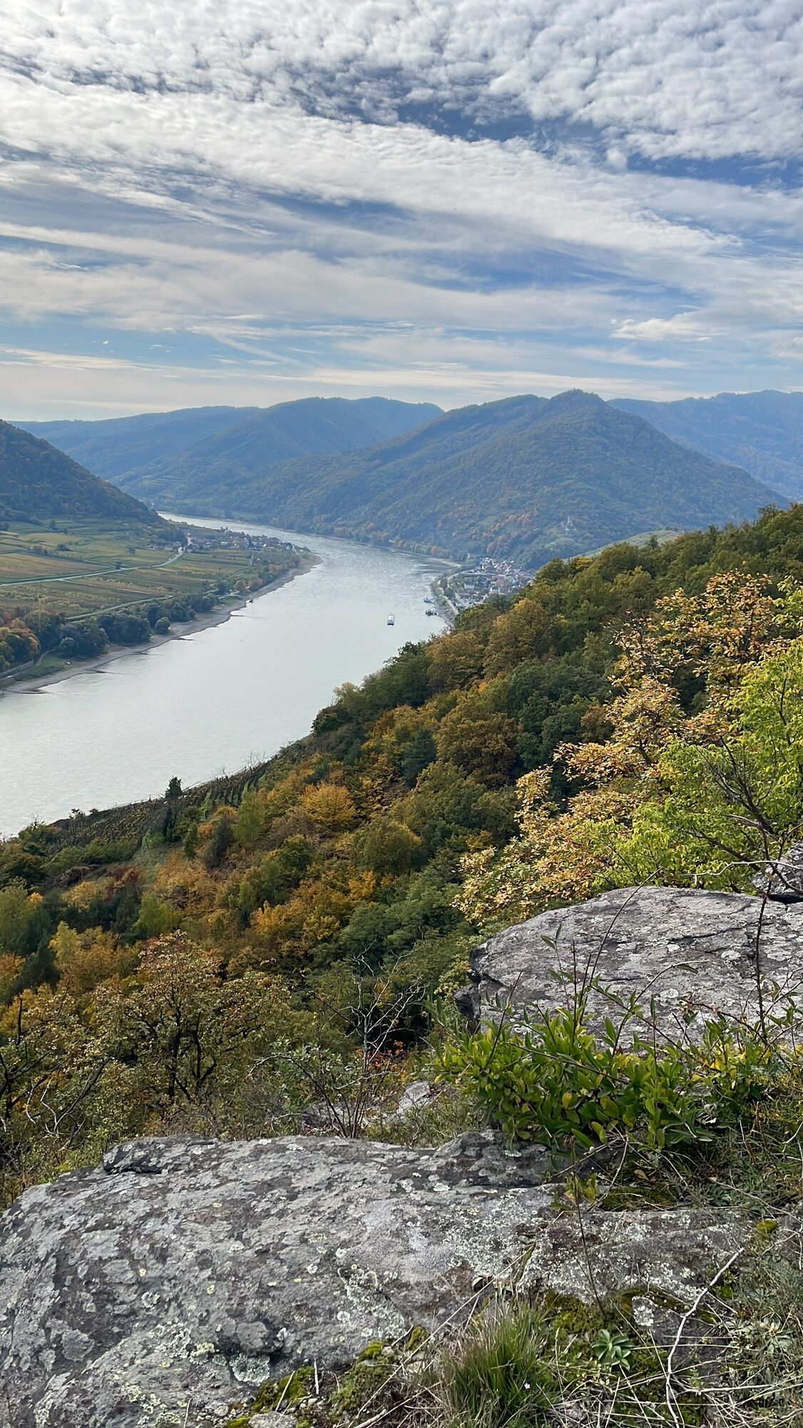


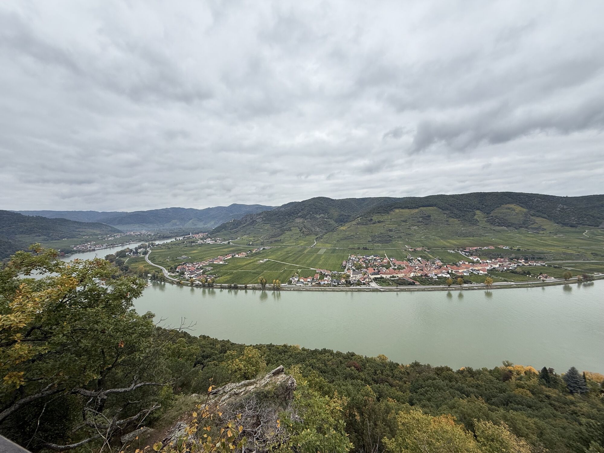
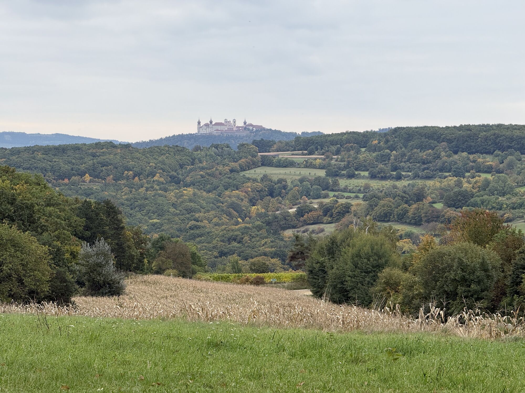


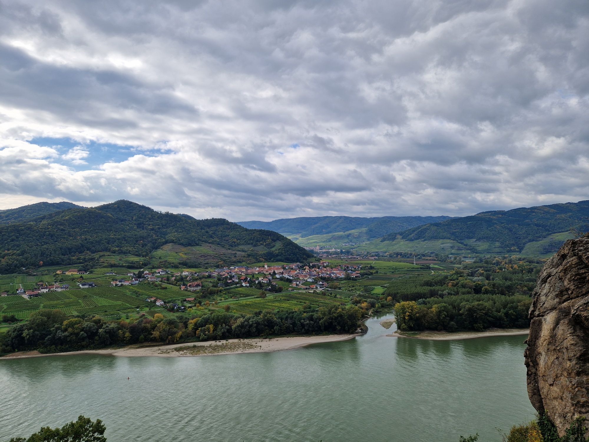
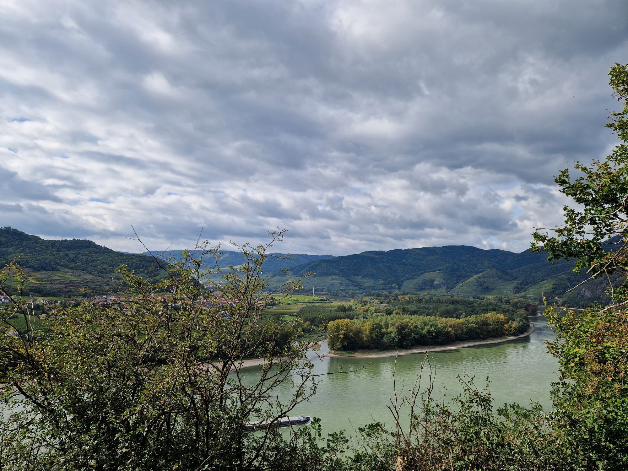

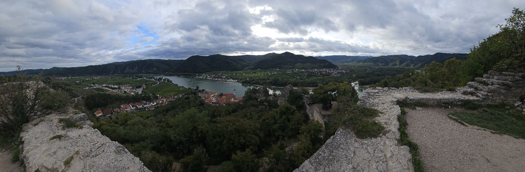
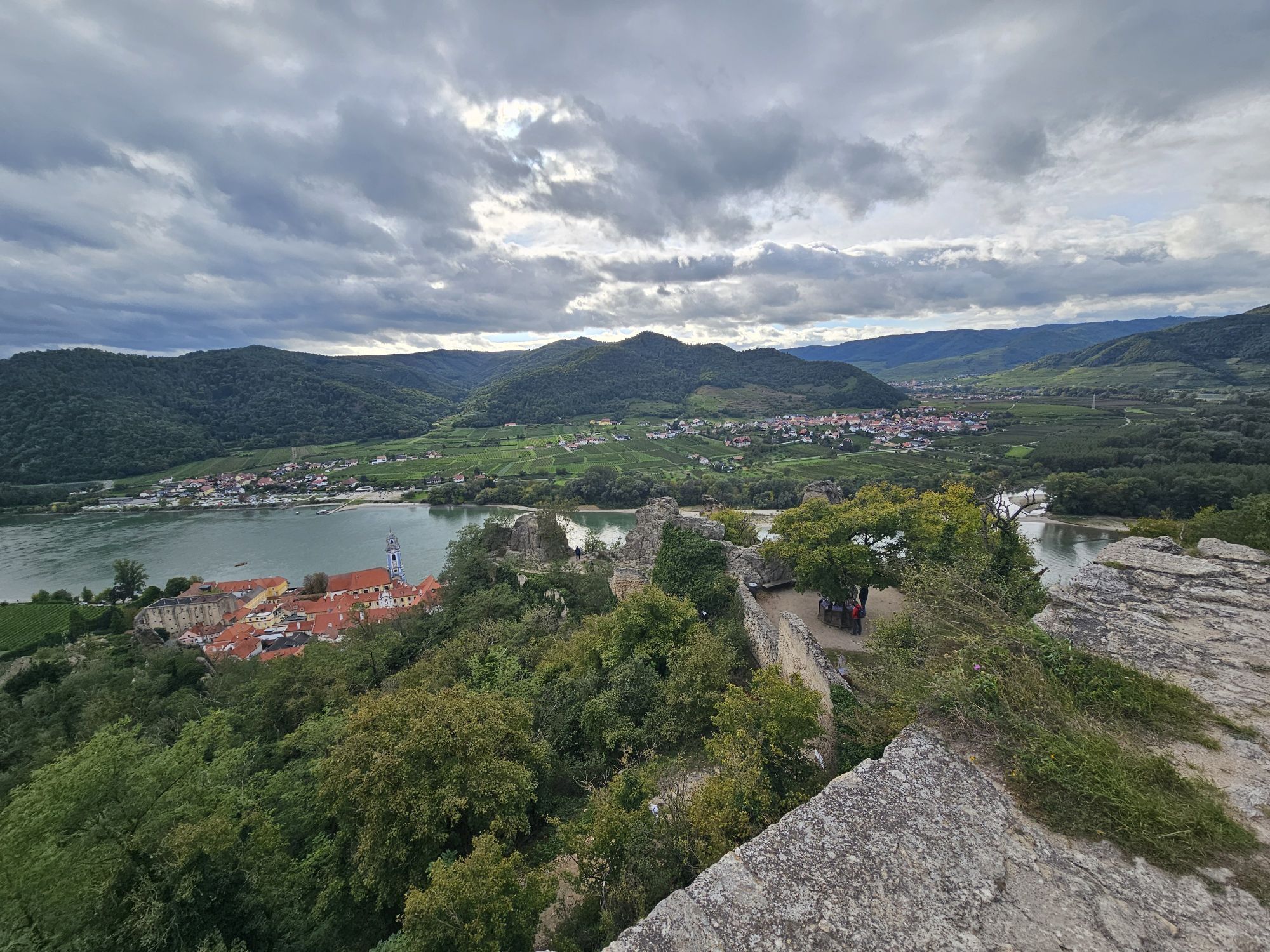
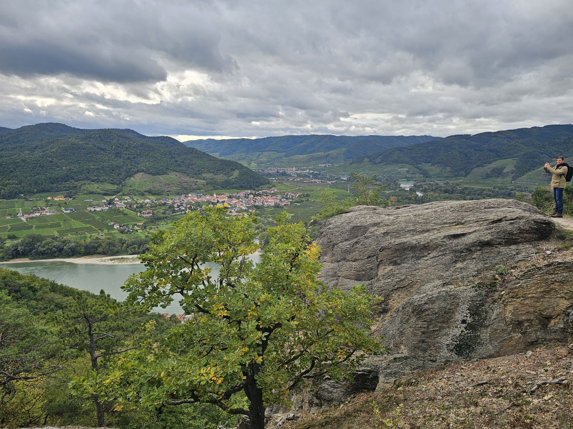
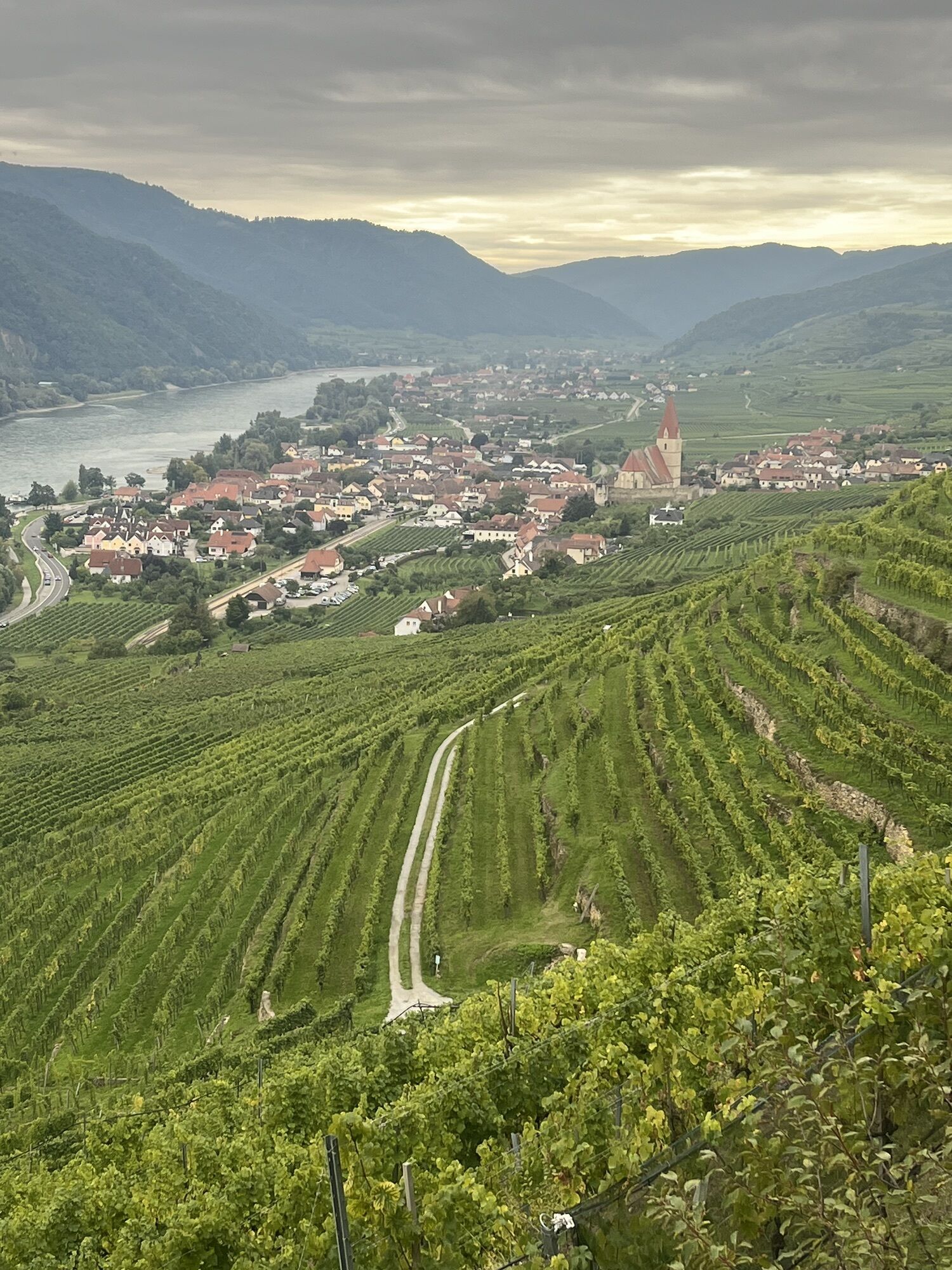
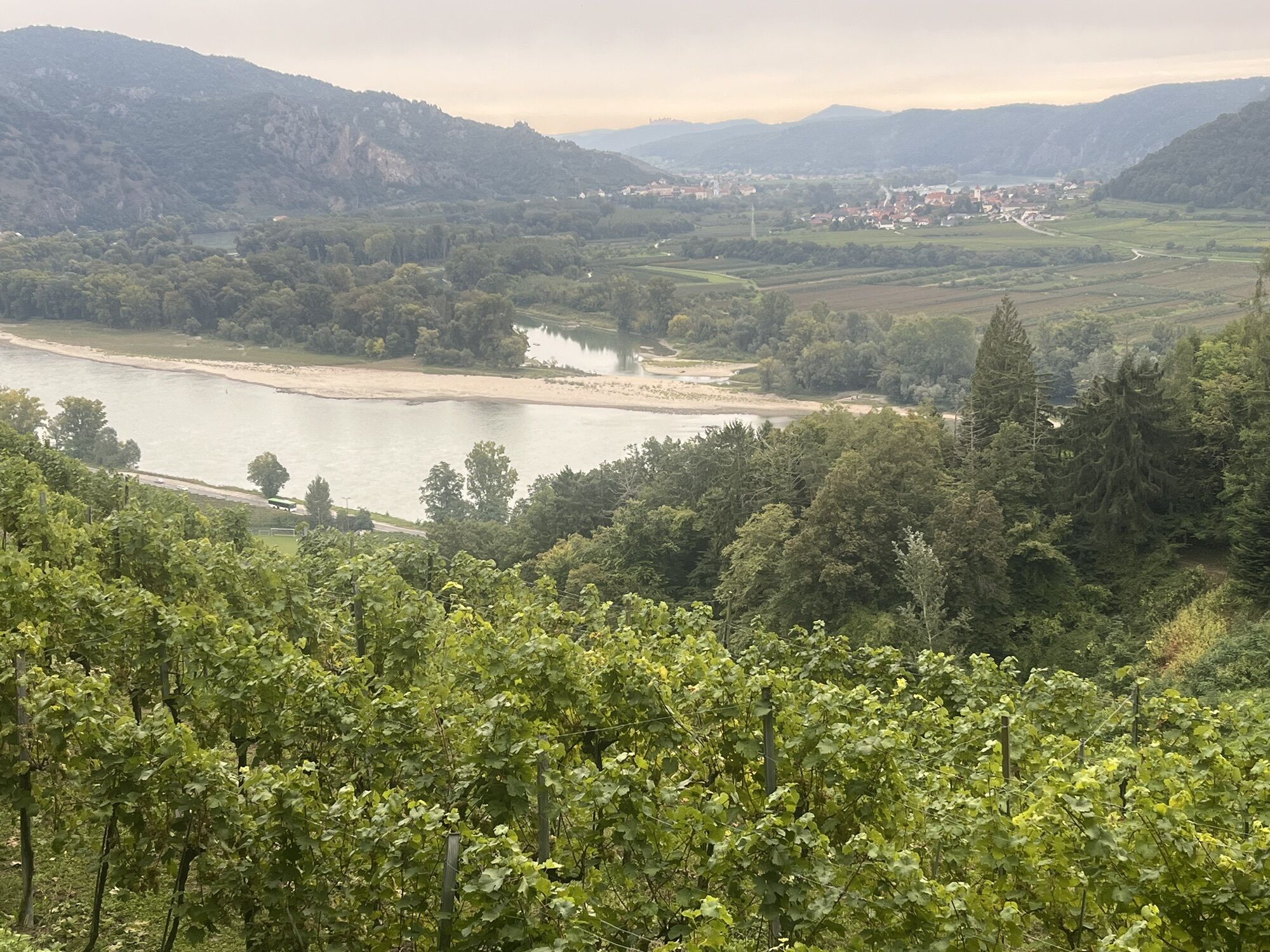
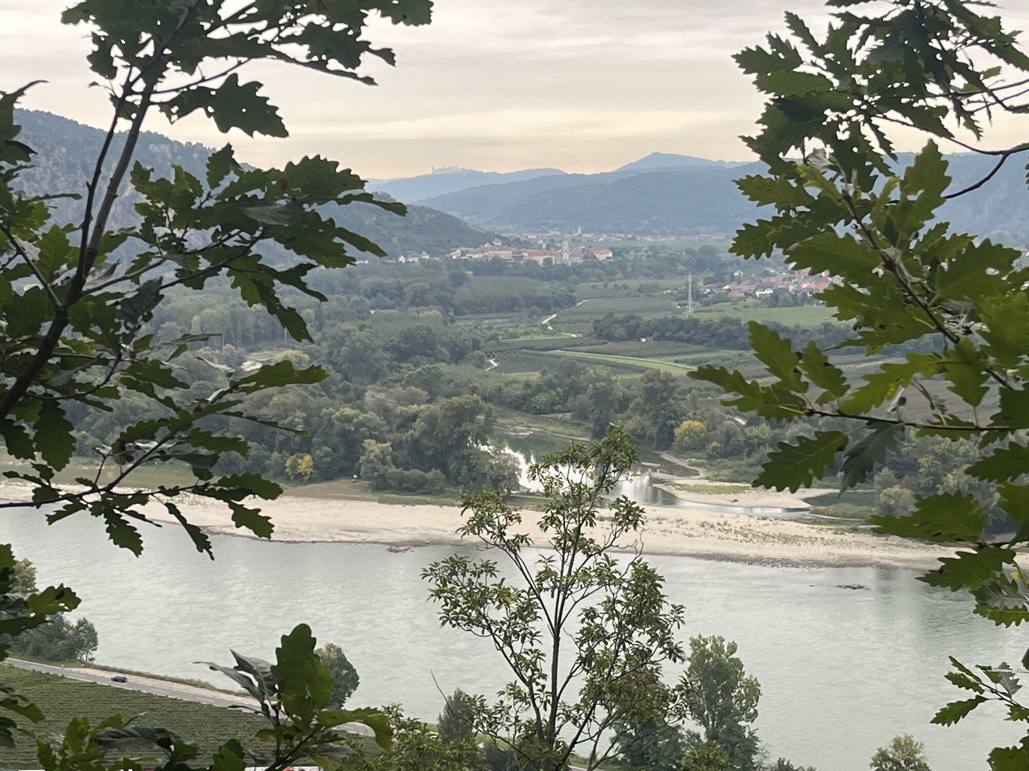

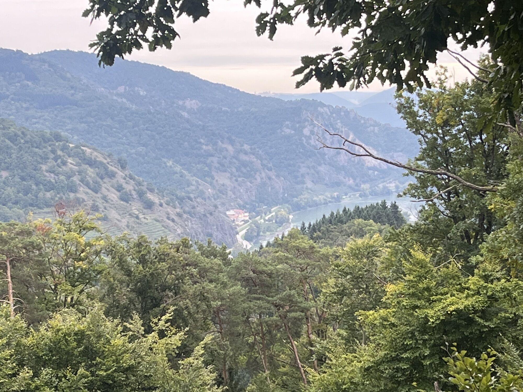
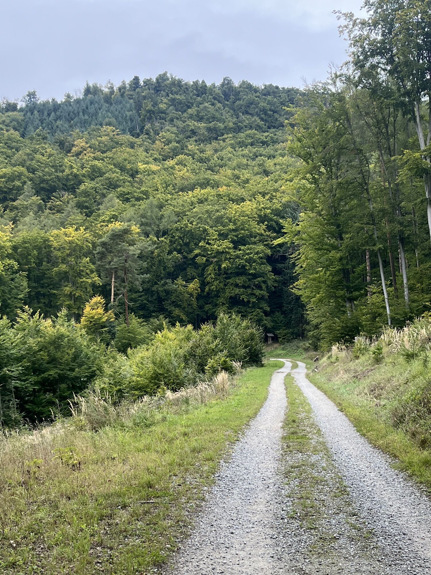
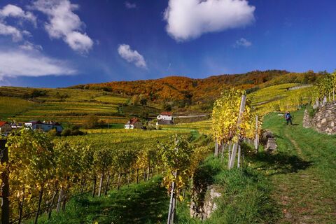
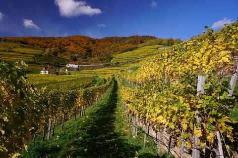
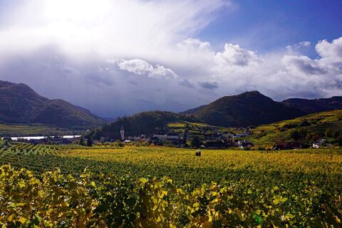
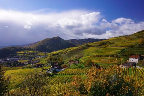
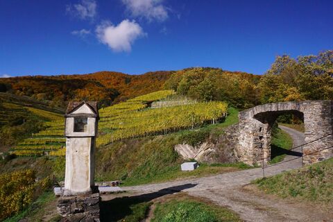
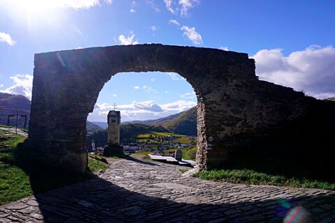
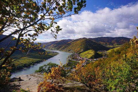
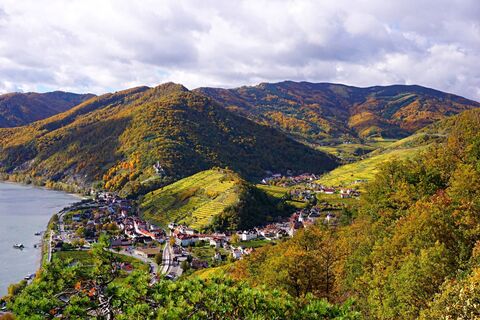
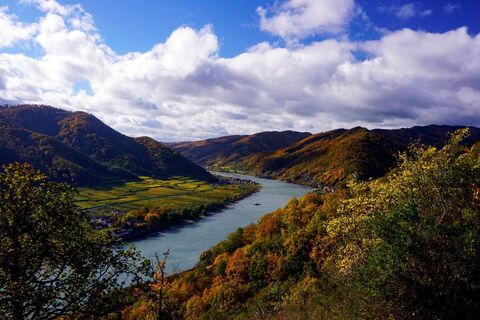
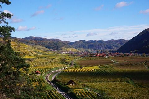
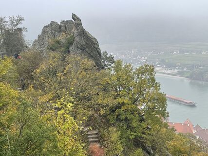
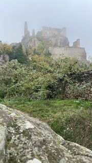
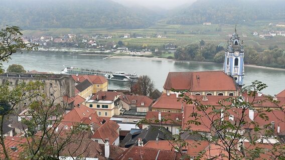
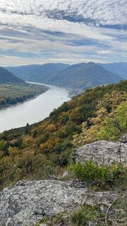
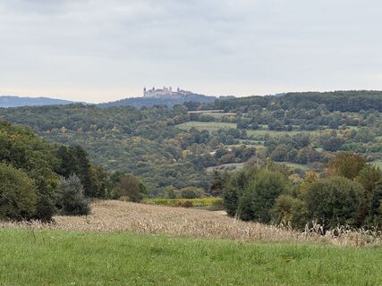
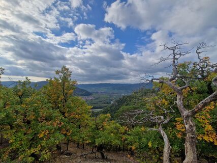
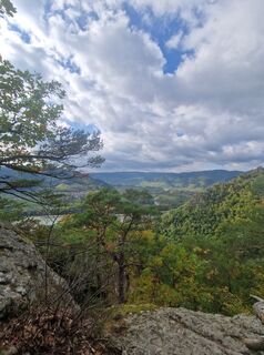
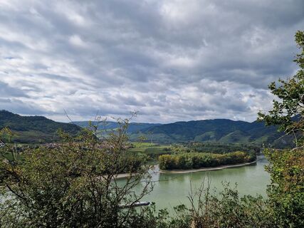
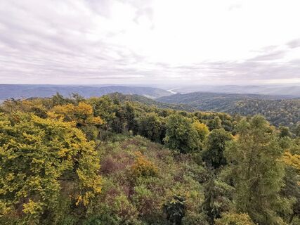
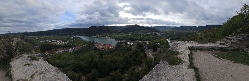
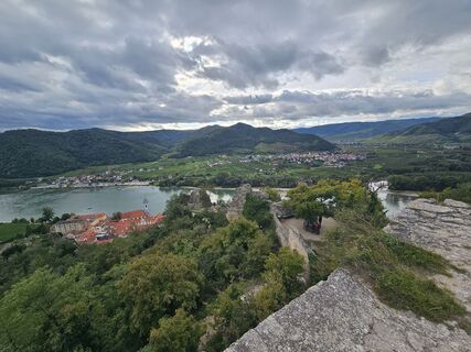
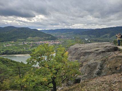
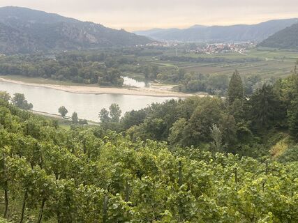
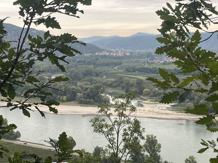
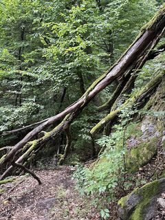
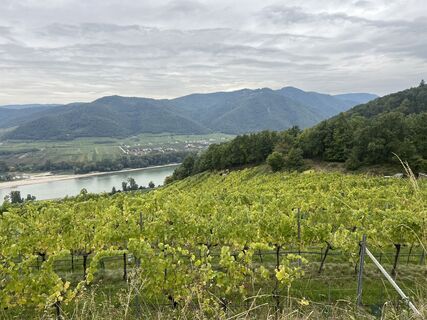
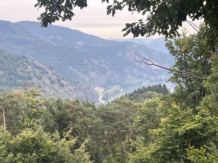
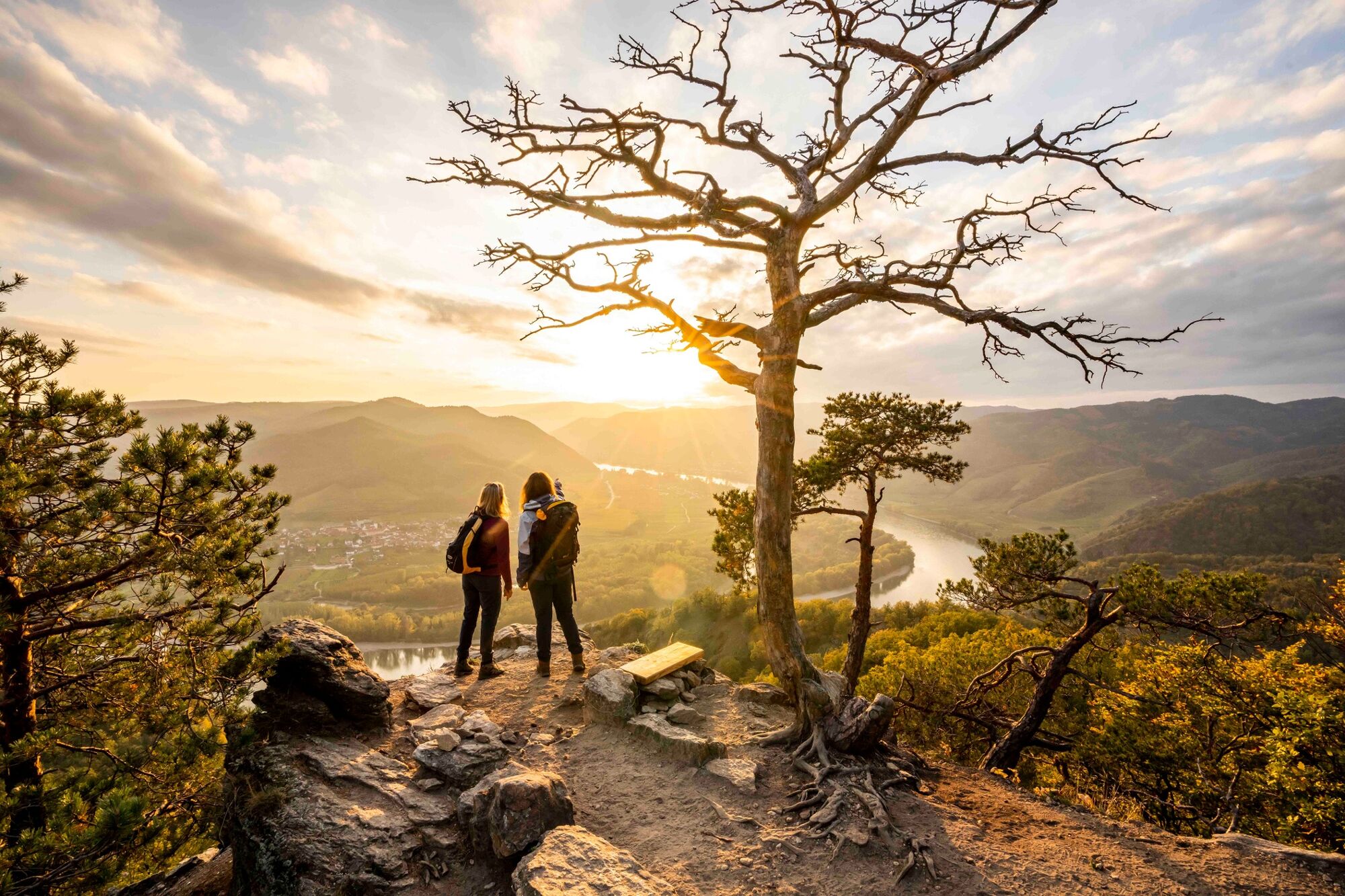
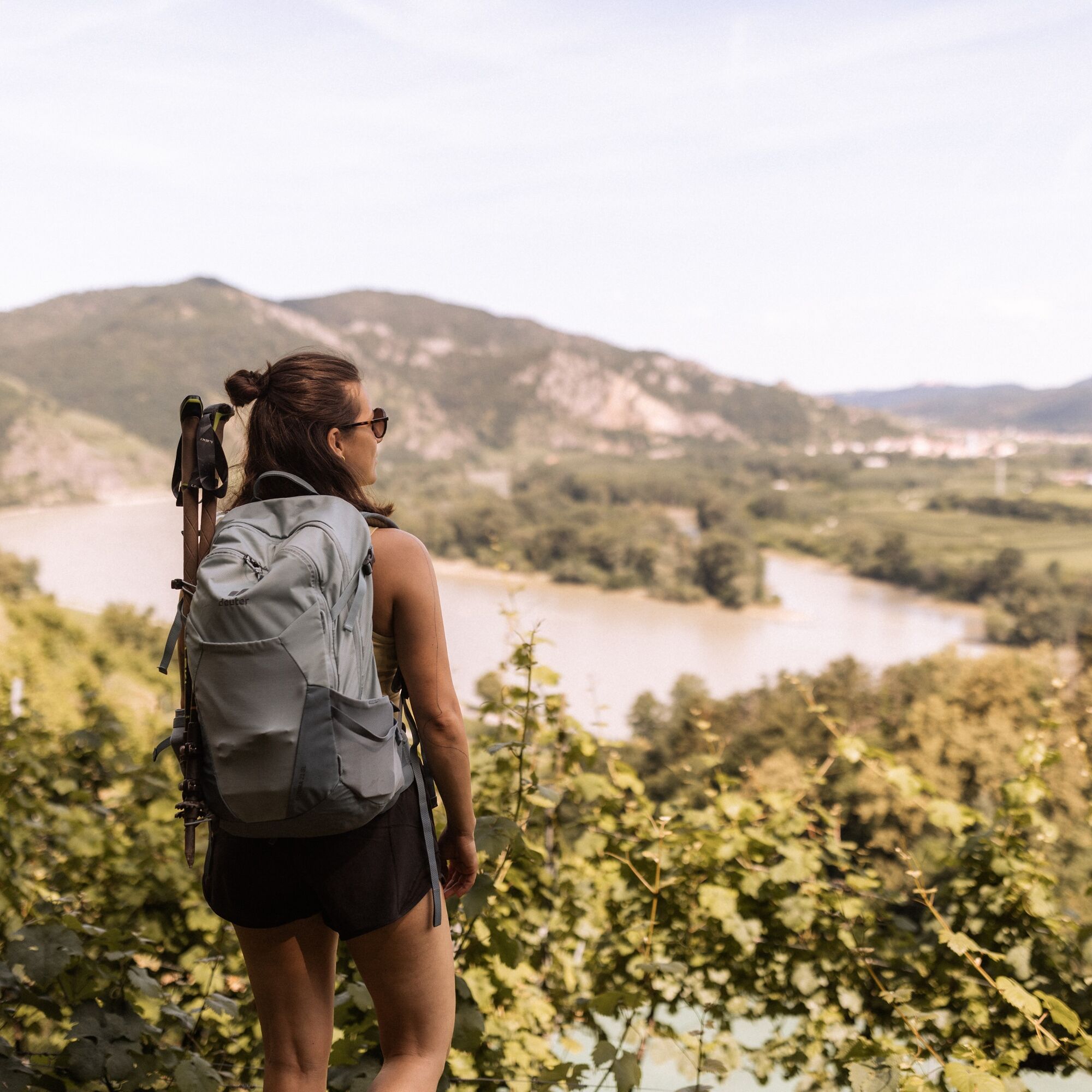
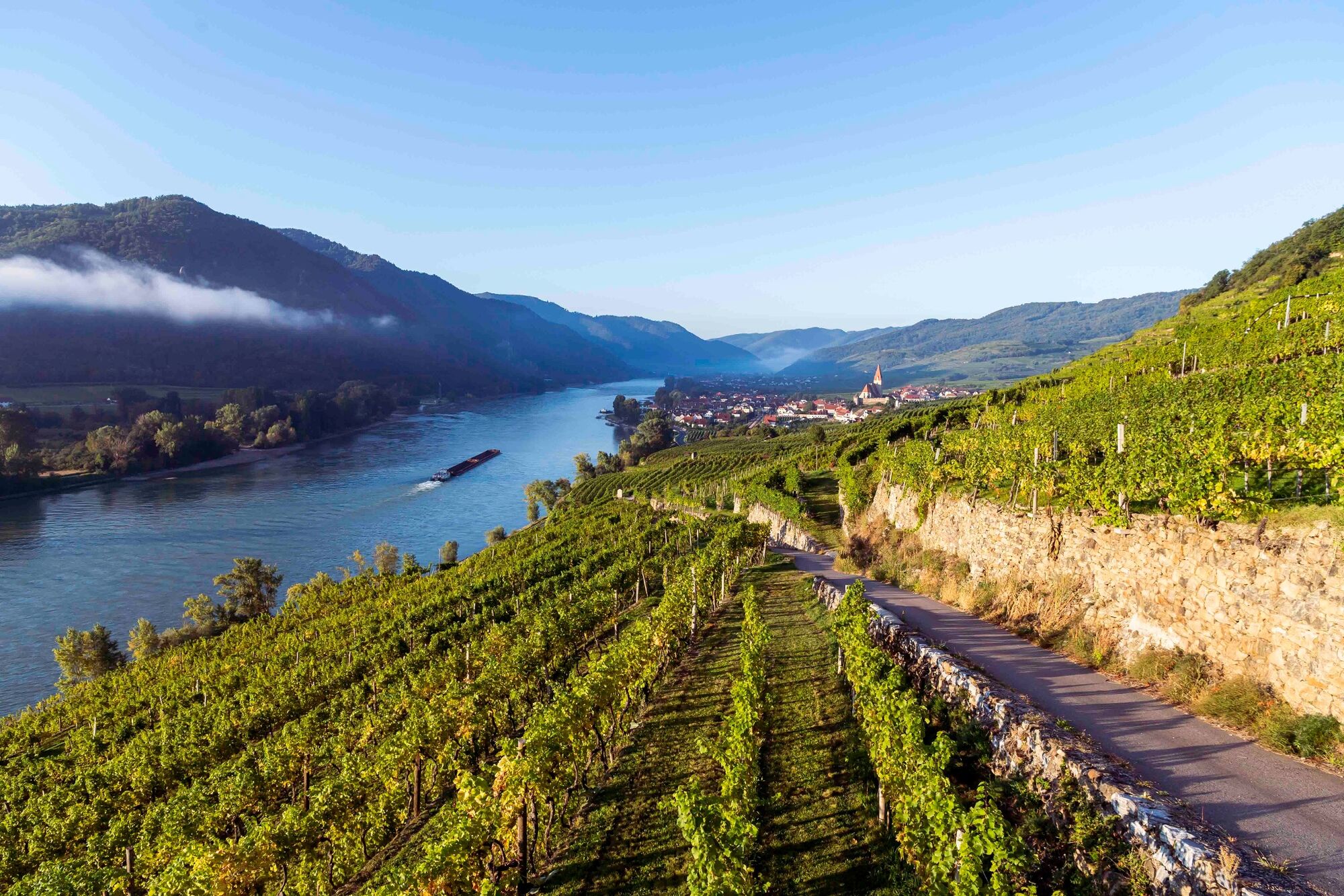
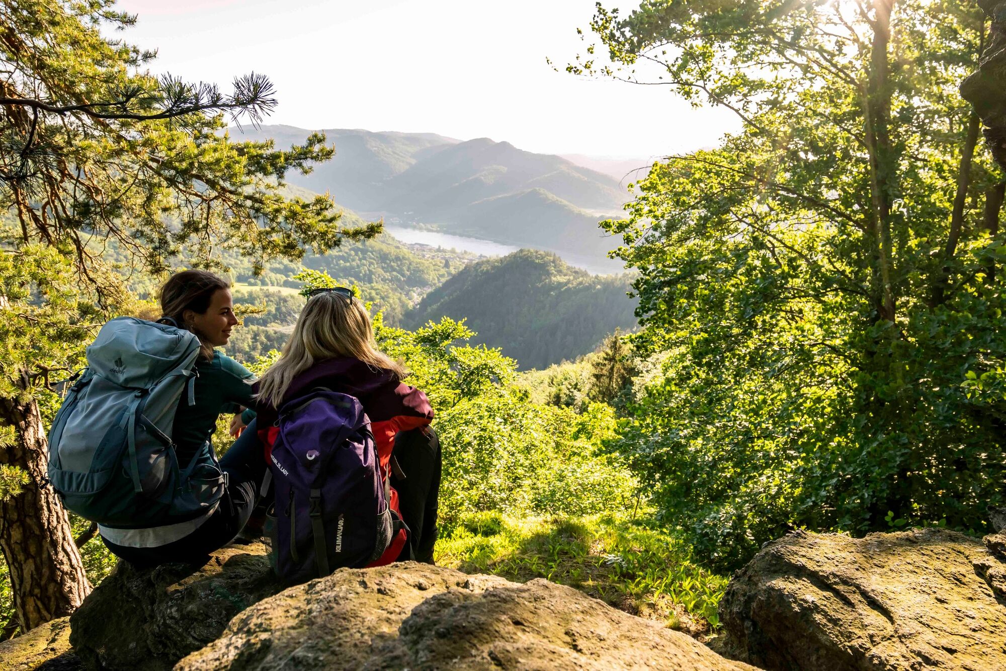
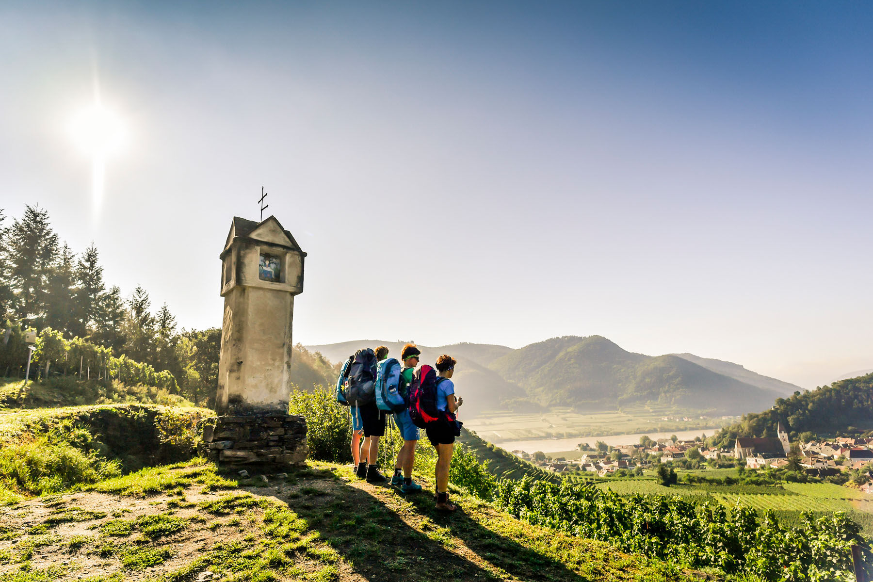
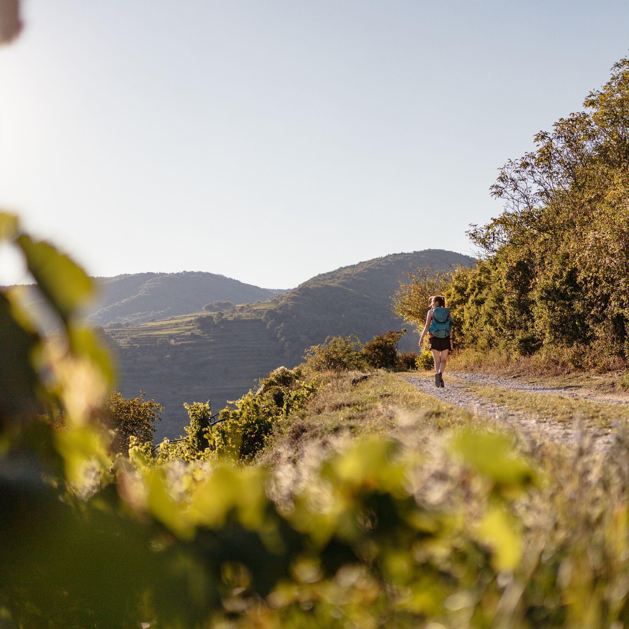
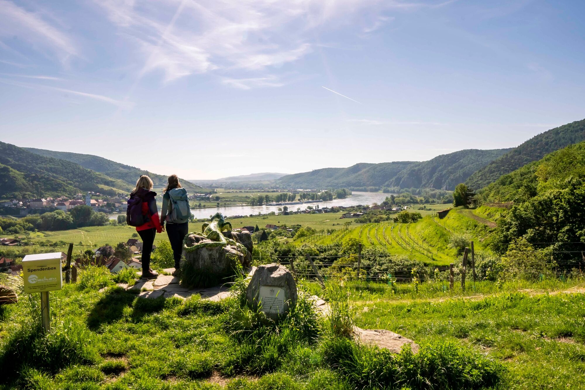
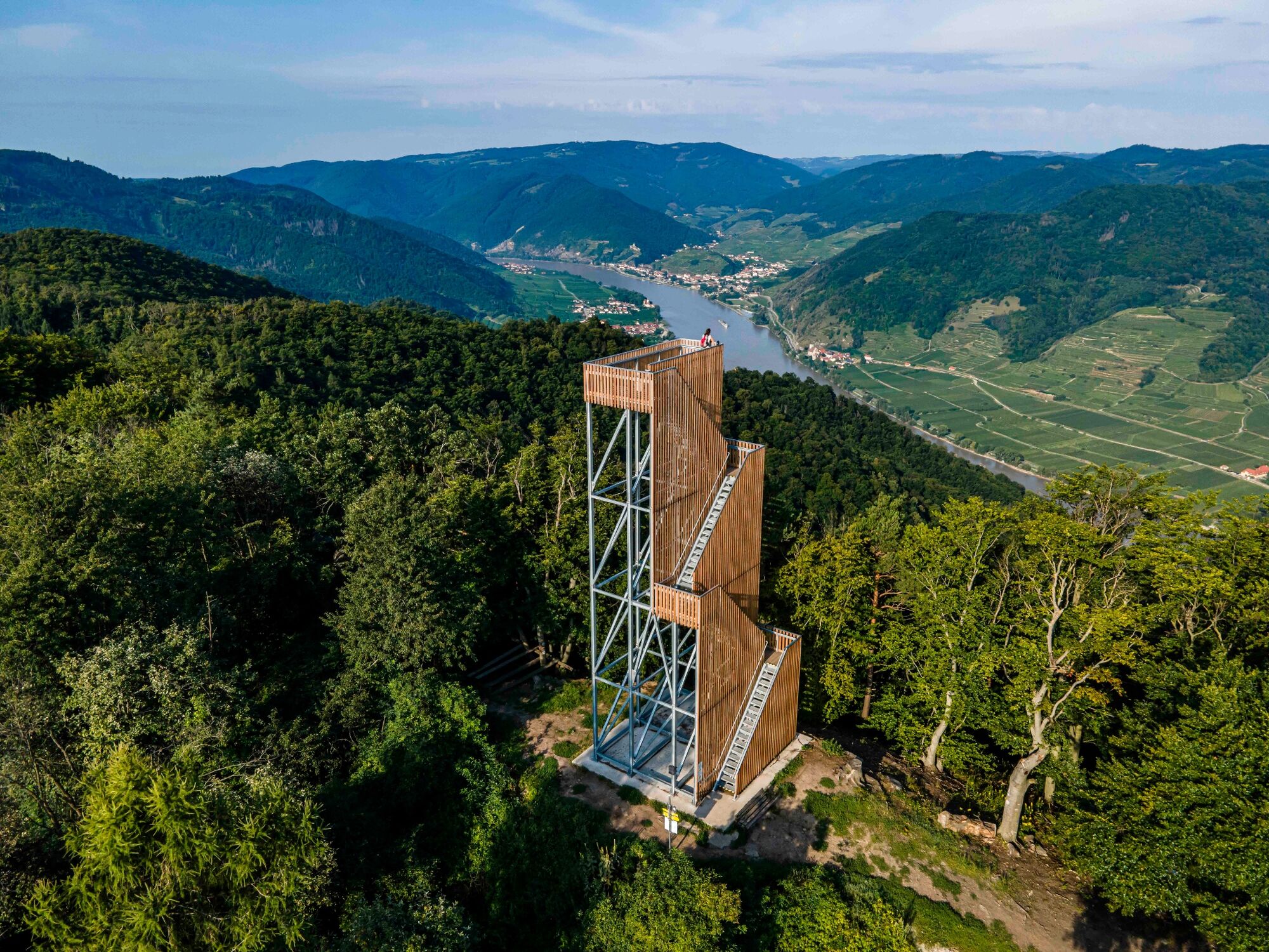
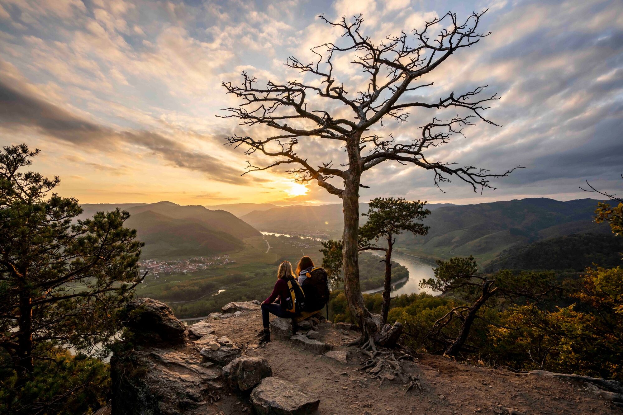
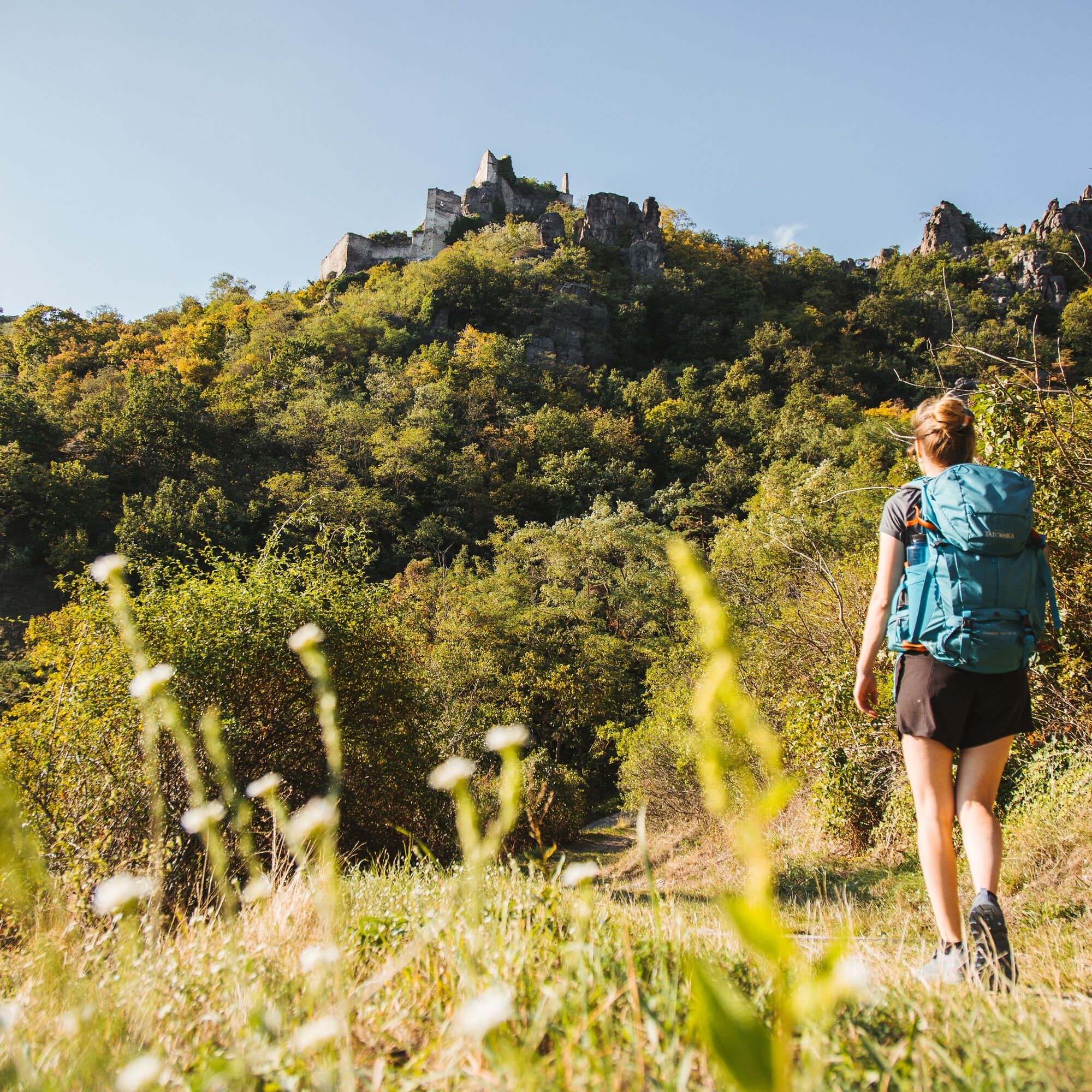
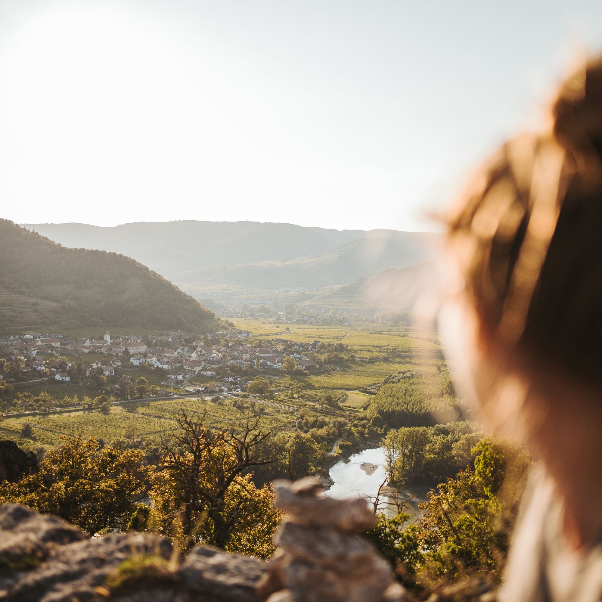
Relaxed and enjoyable long-distance hiking in the Wachau UNESCO World Heritage Site: Along its 180 kilometres between Melk and Krems, the Wachau World Heritage Trail combines a unique cultural and natural...
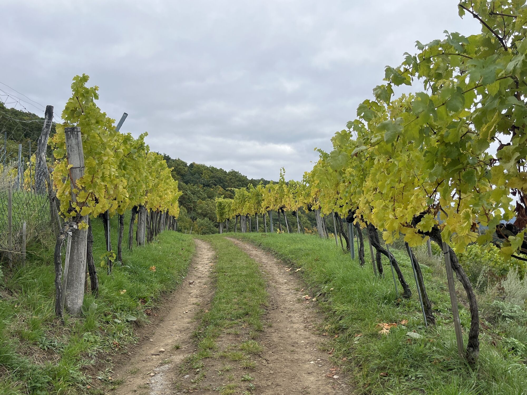
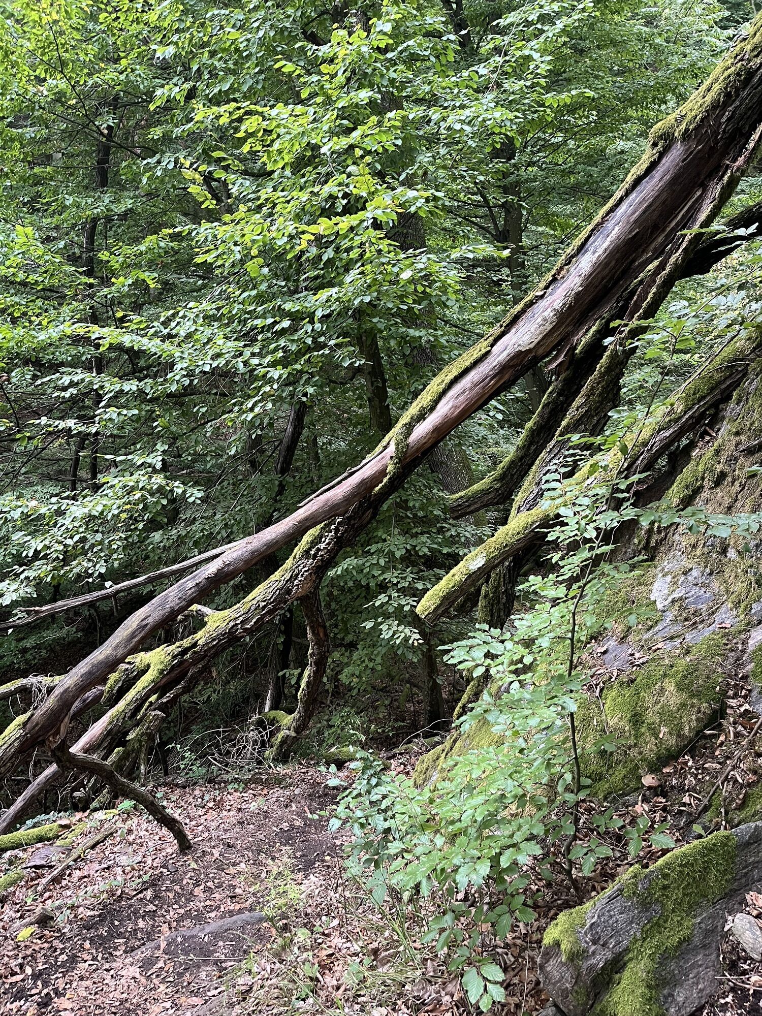
Relaxed and enjoyable long-distance hiking in the Wachau UNESCO World Heritage Site: Along its 180 kilometres between Melk and Krems, the Wachau World Heritage Trail combines a unique cultural and natural landscape with rich history and regional cuisine. Culture and landscape influence each other, rare natural areas such as dry grassland and dry stone walls as well as the originally preserved villages and settlements are tangible signs of a long history of settlement.
Nowhere else can the Danube be hiked more beautifully than on the 14 stages of the Wachau World Heritage Trail.
The Wachau not only offers impressive natural scenery, but also culinary specialities. After a hike through the vineyards, the typical Wachau wines can be savoured at a rustic wine tavern, in a traditional inn or in one of the excellent restaurants.
For a carefree all-round package, including luggage transport, tastings and transfer services, we recommend booking one of the versatile hiking packages.
Thanks to good train connections, travelling to the Wachau is easy and sustainable. A dense network of public transport in the region ensures that all stages can be easily reached by bus, train, ferry and boat. This also makes it very easy to combine different stages.

Als Ausrüstung empfehlen wir:
Wanderschuhe
Rucksack
wetterfeste Kleidung (z.B. Regenschutz)
Kopfbedeckung
Sonnenschutz
ausreichend Verpflegung (Wasser, Jause)
Wanderkarte Wachau und /oder mobiler Tourenplaner
Please observe the following tips and advice to ensure that your hiking holiday is a wonderful experience:
Stay on the marked paths and wear hiking boots. Please do not leave your rubbish along the way. Carry enough food, water and snacks with you. Take a hiking map with you or use the free hiking app. Respect the sensitive habitats of flora and fauna.
From Vienna via the A22 motorway and the S5 to Krems, continue on the B3 on the north bank through the Wachau to the towns along the Danube.
From the A1 Westautobahn motorway from St. Pölten via the S33 to Krems, if desired continue on the B3 on the north bank of the Wachau or over the Mautern Danube bridge to the south side on the B33 to Melk to the towns along the Danube.
A1 Westaubahn to Melk exit and on the B33 along the south bank to Mautern, A1 Westautobahn to Melk, cross the Danube bridge to the north bank and continue on the B3 through the Wachau to your chosen starting point in Krems.
Thanks to good rail connections, travelling to the Wachau is easy and sustainable. A dense network of public transport in the region ensures that all stages can be easily reached by bus, train, ferry and boat.
From Vienna (Franz-Josefs-Bahnhof) to Krems: journey time: approx. 1 hour (continue with the regional VOR bus lines 720 or 715)
From St. Pölten (Westbahn) to Krems: journey time: approx. 30-45 minutes
From Linz: Westbahn to St. Pölten, continue with the regional train to Krems or Westbahn to Melk (continue with the regional VOR bus lines 720 or 715).
Timetable enquiry ÖBB https://www.oebb.at/en/fahrplan
Timetable enquiry Austrian Eastern Region VOR https://www.vor.at/en/timetables-mobility/timetable-bus-train
In the car parks in Krems city centre. Please note the paid short-term parking system with zones in the city centres of Krems and Stein. You can find more information on the Krems city centre website www.krems.gv.at
In Melk on the Donaulände at the boat stations, in all other places in public car parks.
All information on the stages can be found at www.welterbesteig.at The Wachau hiking map can be requested free of charge from Donau NÖ Tourismus GmbH on 02713-30060-60 or downloaded from the brochure shop at www.donau.com/prospekte
Plan enough time to visit the region's worthwhile excursion destinations, e.g. the Krems Art Mile with the Lower Austrian State Gallery, Melk Abbey and Göttweig Abbey.
Obľúbené výlety v okolí
-
4,5
Welterbesteig Wachau 02: Dürnstein-Weißenkirchen
svetlodiaľková pešia trasa 15,9 km -
4,9
Vogelbergsteig -Kanzel- Fesselhütte - Ruine Dürnstein zum Heurigen in Furth
strednáTuristika 7,59 km -
4,8
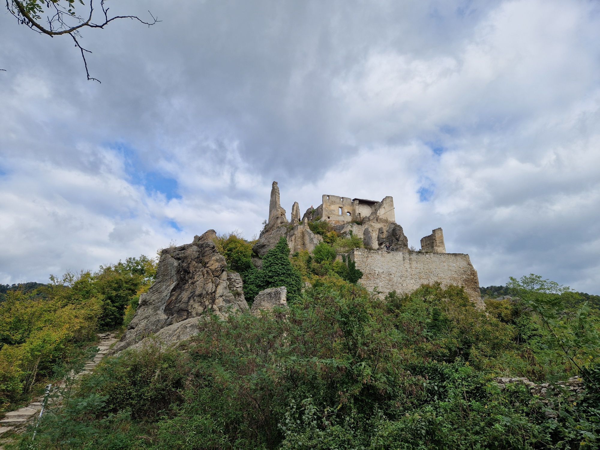
"Dürnstein Trail" - Die landschaftlich und architektonische Schönheit der Wachau erleben.
svetloTuristika 6,95 km -
4,6
Wachau: Seekopf - Hirschwand
strednáTuristika 10,4 km -
4,7
Oblasť svetového kultúrneho dedičstva Wachau 04: Spitz - Mühldorf (Spitzer Graben)
strednádiaľková pešia trasa 10,9 km -
4,4
Wachau: Zur Ruine Dürnstein über den Vogelbergsteig
strednáTuristika 5,80 km -
4,8
Burgruine Dürnstein - Fesslhütte - Vogelbergsteig
strednáTuristika 5 km -
4,4
Vogelbergsteig Dürnstein
strednáTuristika 3,92 km -
4,6
Svetové kultúrne dedičstvo Welterbesteig Wachau 03.Weißenkirchen – Spitz
strednádiaľková pešia trasa 10,5 km -
4,5
St. Michael-Rundweg
strednáTuristika 7,05 km
Turistika a stopovanie


Nenechajte si ujsť ponuky a inšpiráciu na ďalšiu dovolenku
Vaša e-mailová adresa bol pridaný do poštového zoznamu.