


Jauerling Circuit 04: Emmersdorf-Weiten
Jauerling Circuit: From Emmersdorf to Weiten
Our hike leads from Emmersdorf past Rothenhof Castle through the picturesque hamlet of Hain to St. Georgen. Through blooming fields we follow the path up to...
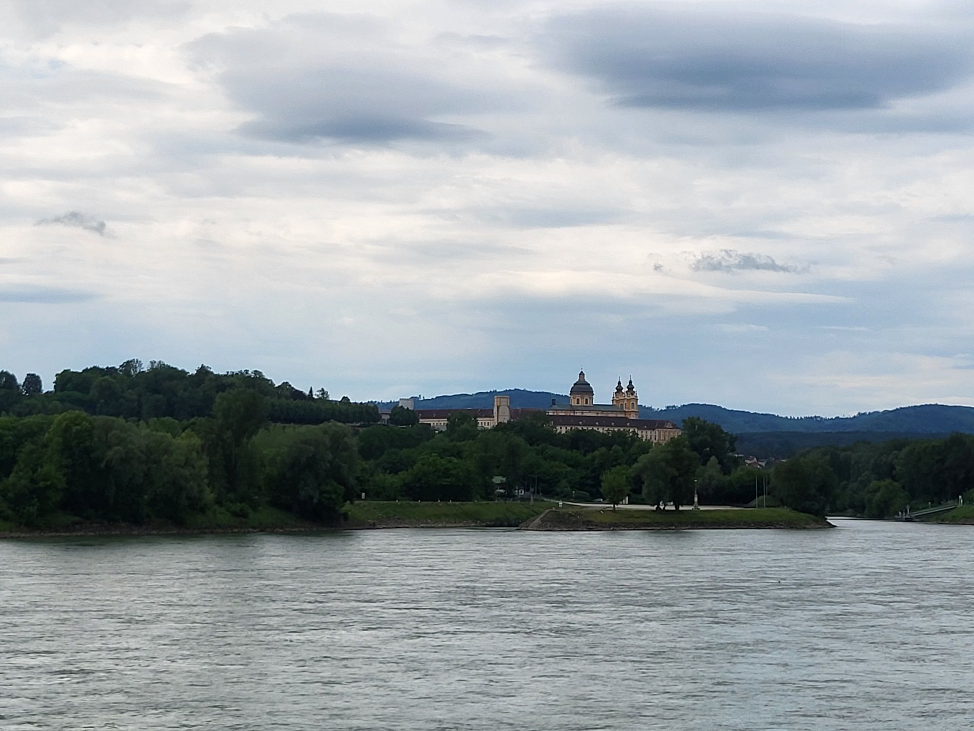
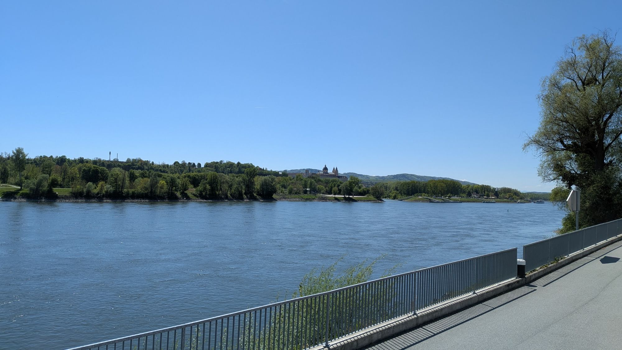
<p><strong>Jauerling Circuit: From Emmersdorf to Weiten </strong></p><p>Our hike leads from Emmersdorf past Rothenhof Castle through the picturesque hamlet of Hain to St. Georgen. Through blooming fields we follow the path up to Pömling and then back down to Eitental. Over the Lohsdorfer Höhe and the Kögelfeld we reach the hamlet of Mörenz and shortly after at the Spielerkreuz the highest point of the stage. Past Nasting we reach Weiten with its fortified church on an old service road, where our stage ends.</p><p>>>Here’s the hiking report from Wachau Inside!</p>

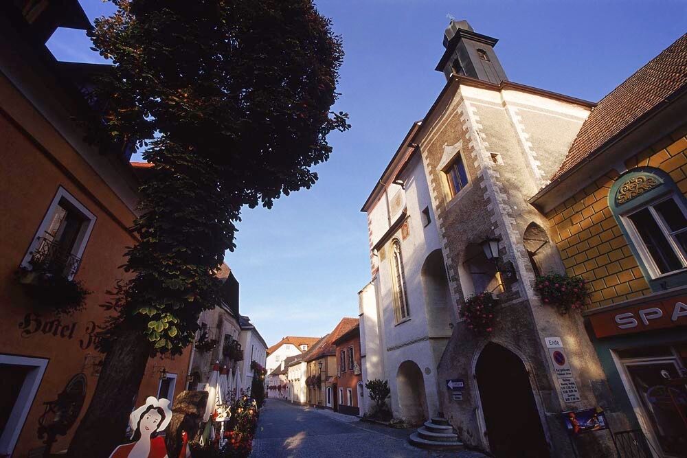
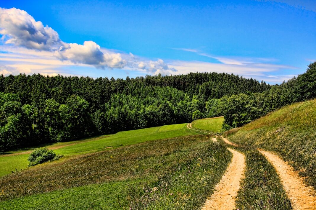
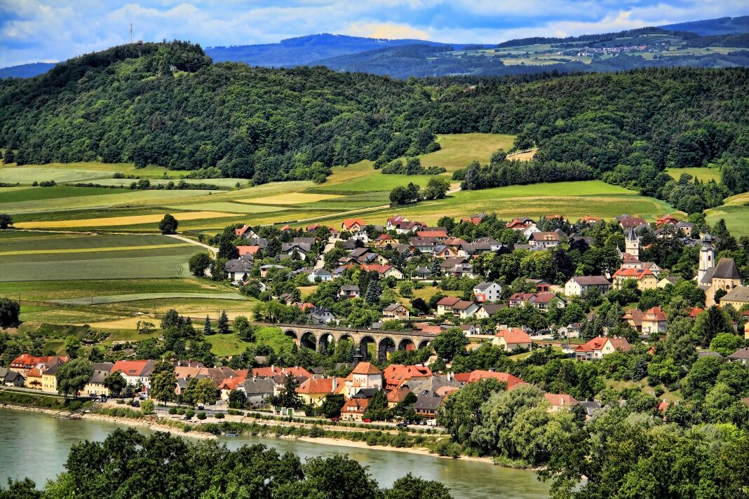
<p>We start in the Marktstraße of the picturesque Renaissance town of Emmersdorf and pass under the viaduct of the Wachau railway. Below past Rothenhof Castle, we follow Rote-Kreuz-Straße out of town to the Red Cross. Here we meet the Wachau World Heritage Trail and follow the road straight into the picturesque hamlet of Hain. Our path leads through Hain to St. Georgen, where at the chapel we turn right into the Georgener fields "In der Eben". Through blooming fields we hike up to the hamlet of Pömling, whose bell tower greets us from afar. In the village, we turn right and follow the path over fields and meadows as well as splendid forest landscapes down to Eitental. Just after the chapel we cross the main road and turn left at the first intersection. Over the Lohsdorfer Höhe and the Kögelfeld we hike down to the hamlet of Mörenz with its picturesque bell tower, turn left in the village and follow the service road up to "Auf der Hülben". At the top, we keep left and reach the highest point of the stage at Spielerkreuz through a pine forest. To the right, it continues briefly along the main road toward Nasting, where we turn left at the first street and follow the service road to the fortified church Weiten. Here we keep left, cross the Weitenbach immediately after and shortly afterwards reach Prangerplatz Weiten, where we end our stage.</p>
<p>Sturdy hiking boots, rain protection, adequate drinks and food.</p>
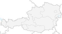
<p>Westautobahn A1 to the Melk exit, then via B3 to Emmersdorf or via B216 to Weiten.</p>
<p>The places can be reached by public transport. The return to the starting point of the hike is possible.</p><p>Bus connections can be found at <a href="www.vor.at">www.vor.at</a> </p><p>There is a Nextbike rental station in Emmersdorf, <a href="www.nextbike.at">www.nextbike... </p>
<p>Along the B3 on the Danube promenade near Emmersdorf and in the town centre of Weiten.</p>
Dining options/opening times
Bauer und Wirt Langthaler, Pömling (stamp station): summer season: April-October; winter season: November 1 – March 31, www.gasthaus-langthaler.at 02752/71427. Bauer und Wirt Langthaler is the only cider tavern along the Jauerling Circuit.
There are several inns and cafes in Emmersdorf and Weiten open all year. Please note the reduced opening hours in winter.
The inn "Zur Post" in Weiten is open throughout winter, www.gasthof-kremser.at, 02758/8202.
Accommodation options are available in Emmersdorf and Weiten.
The most renowned and recommended gastronomy and accommodation businesses in the Wachau UNESCO World Heritage can be found at Best of Wachau. www.bestof-wachau.at
Cultural highlights include the Magdalene Chapel in Emmersdorf and the fortified church in Weiten, the original parish of southern Waldviertel. In Weiten is the "Valley of Sundials" museum. Guided tours of the smithy and the workshop are available for groups, ; 02785/8292.
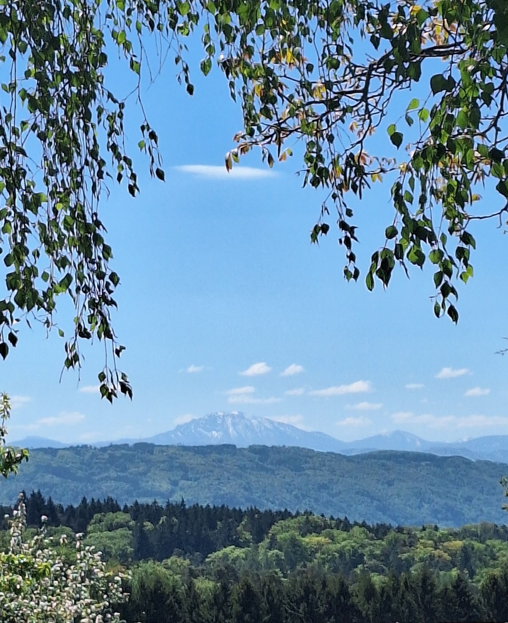
In the Jauerling Nature Park, there are many other interesting thematic and circular hiking trails.
Obľúbené výlety v okolí
-
4,5
Durch die Steinwandklamm von Maria Taferl aus
svetloTuristika 8,26 km -
4,5
Maria Langegg - Rote Wand - Hoher Stein - Kastlkreuz
strednáTuristika 11,4 km -
4,5
Ausgedehnte Peilsteinrunde
strednáTuristika 13,7 km -
4,9
LAIMBACH Ostrong Peilstein 20220716
strednáTuristika 7,70 km -
3,9
Spitz a. d. Donau Jauerling Schwallenbach retour 16.04.2016
strednáTuristika 20 km -
4,5
Welterbesteig Wachau 08: Emmersdorf-Melk
svetlodiaľková pešia trasa 9,90 km -
4,0
Rote Wand und Hoher Stein
strednáTuristika 7,80 km -
4,4
AGGSTEIN Ruine, Aggstein, Druidentürme und zurück 20241019
strednáTuristika 7,50 km -
4,6
Welterbesteig Wachau 06: Maria Laach-Aggsbach Markt (Naturpark Jauerling-Wachau)
svetlodiaľková pešia trasa 7,04 km -
4,2
Spitz - Jauerling - Mühldorf
strednáTuristika 12,4 km
Turistika a stopovanie


Nenechajte si ujsť ponuky a inšpiráciu na ďalšiu dovolenku
Vaša e-mailová adresa bol pridaný do poštového zoznamu.