







Mathias Zdarsky Circular Hiking Route



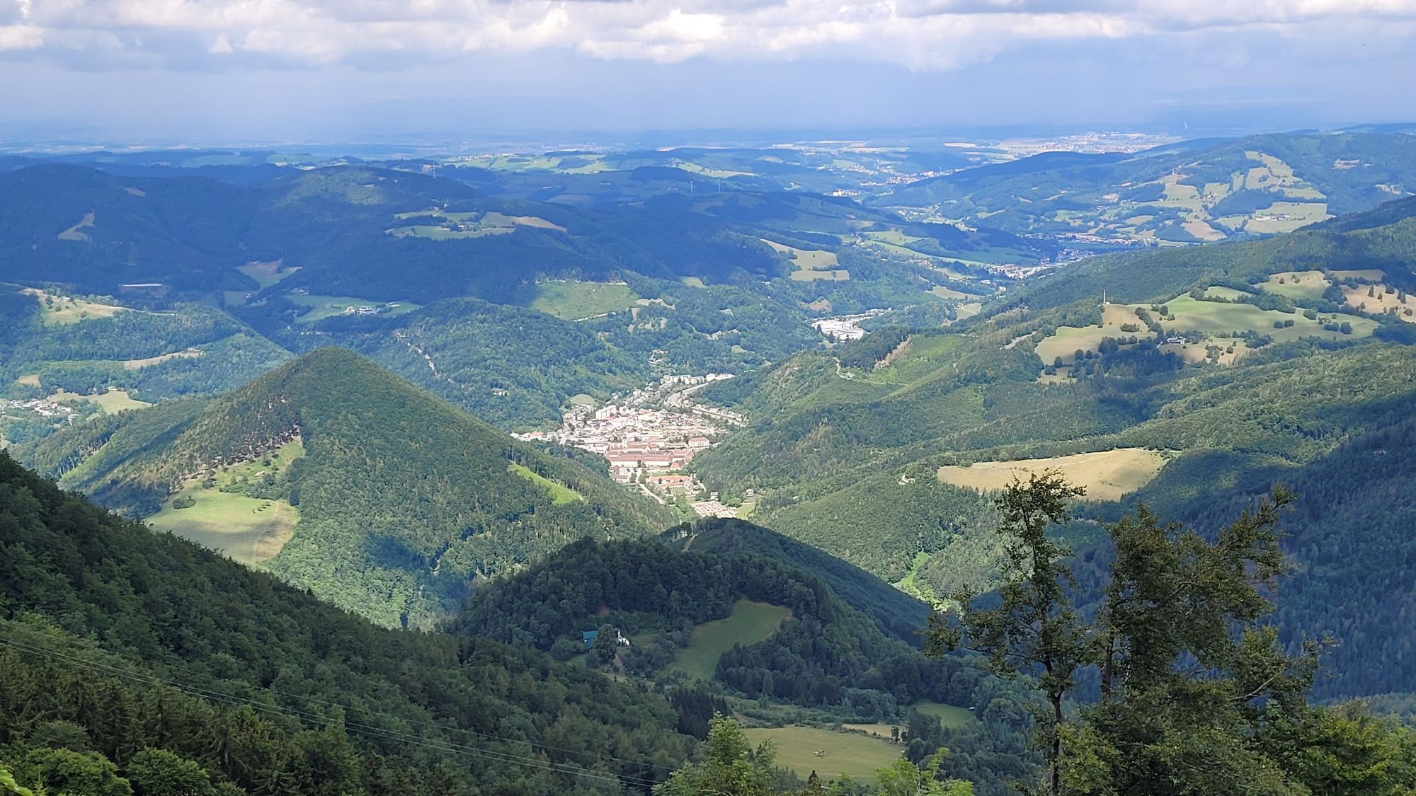
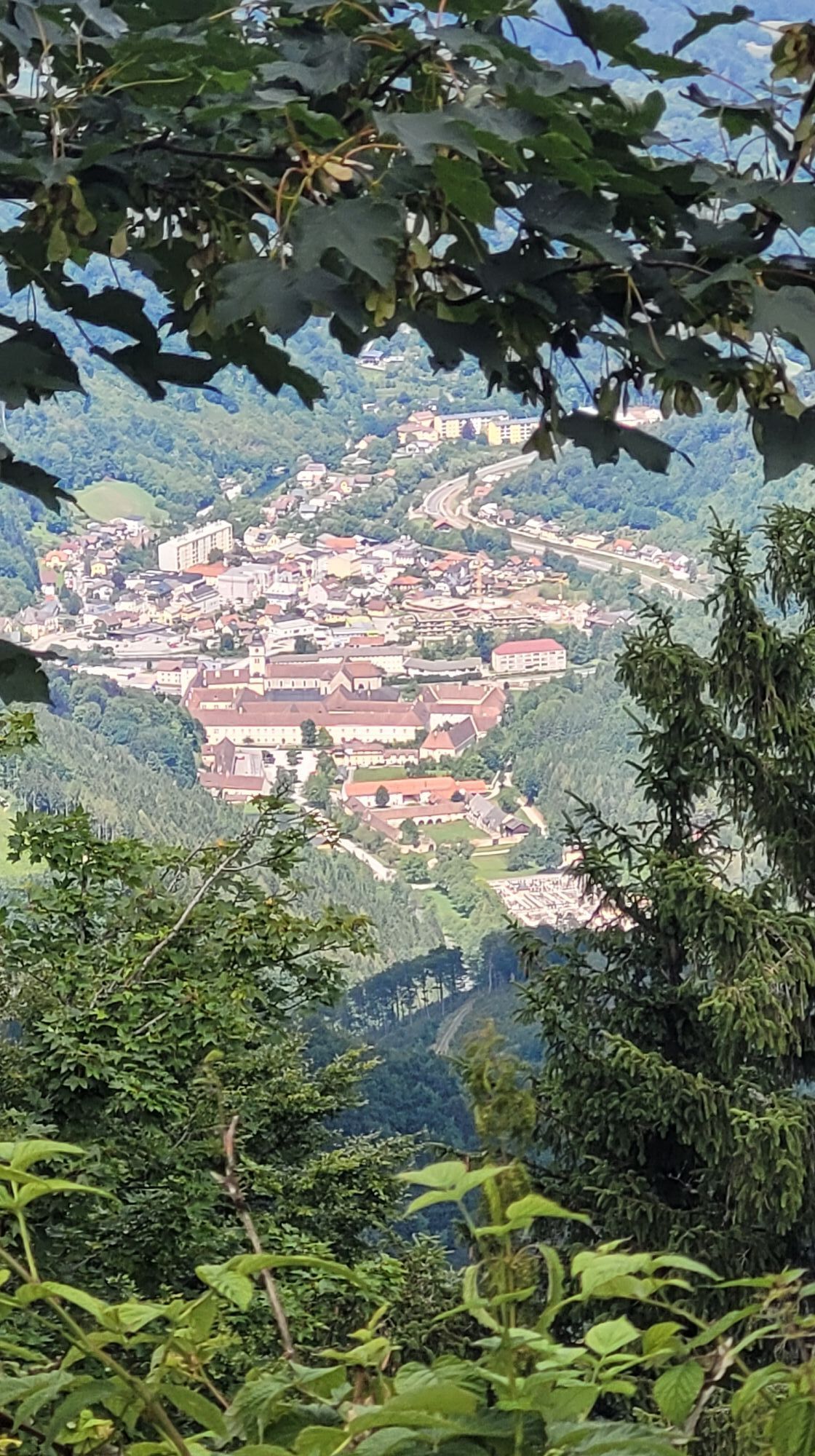
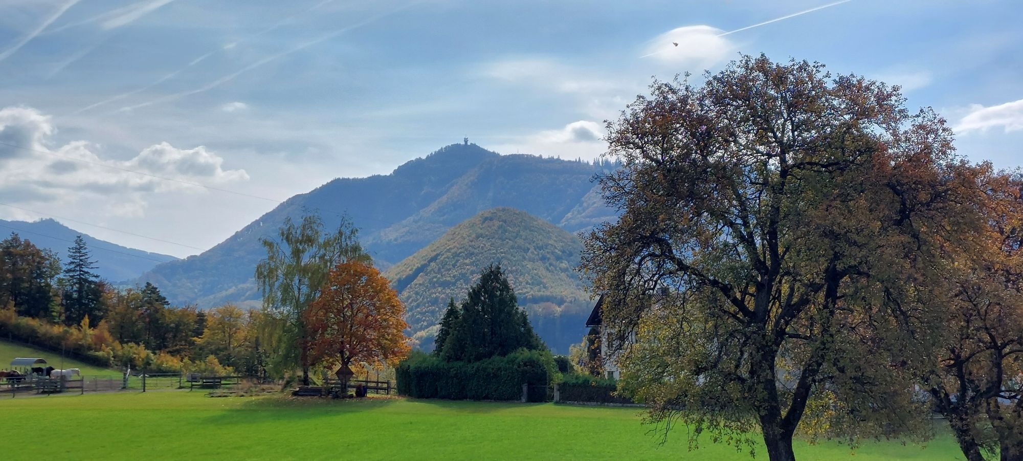
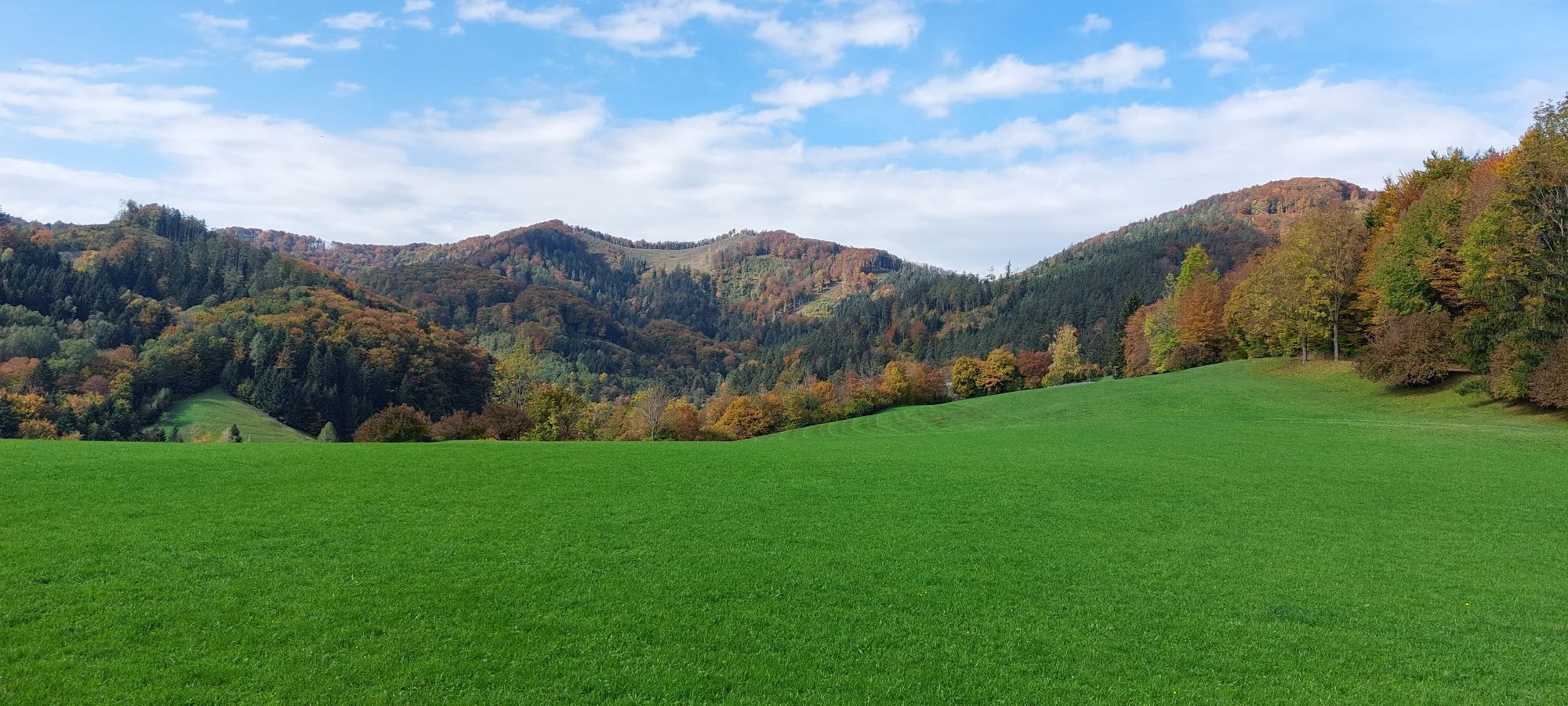
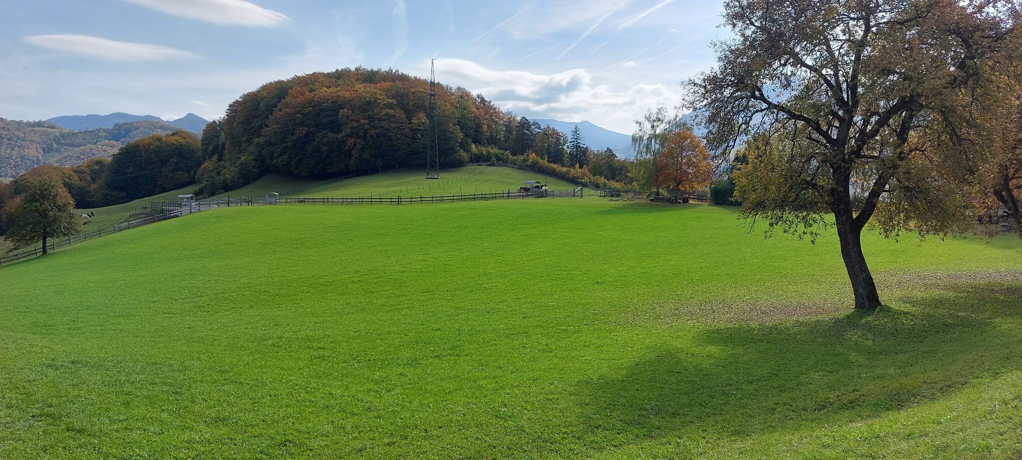
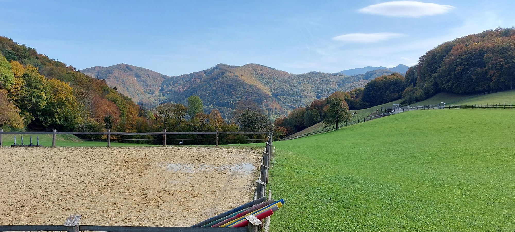
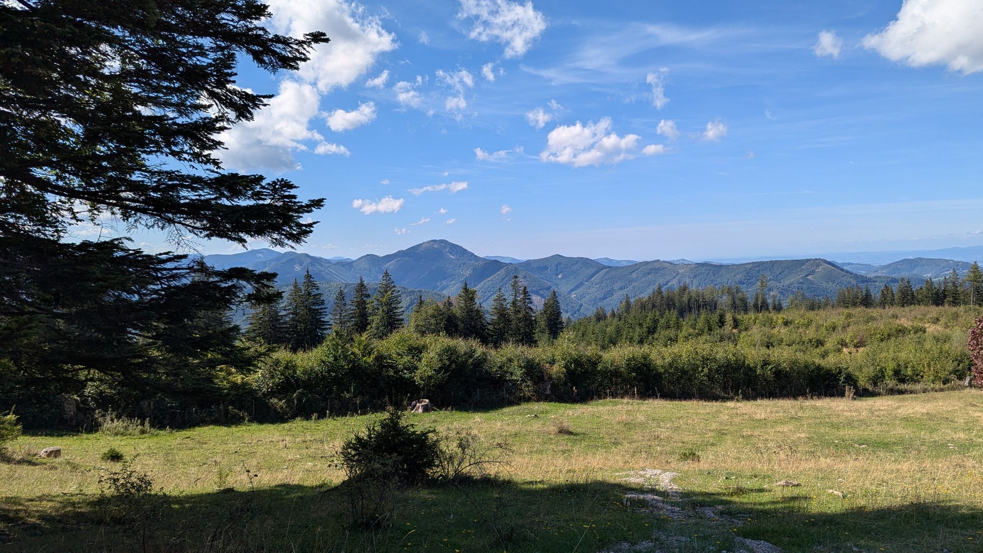
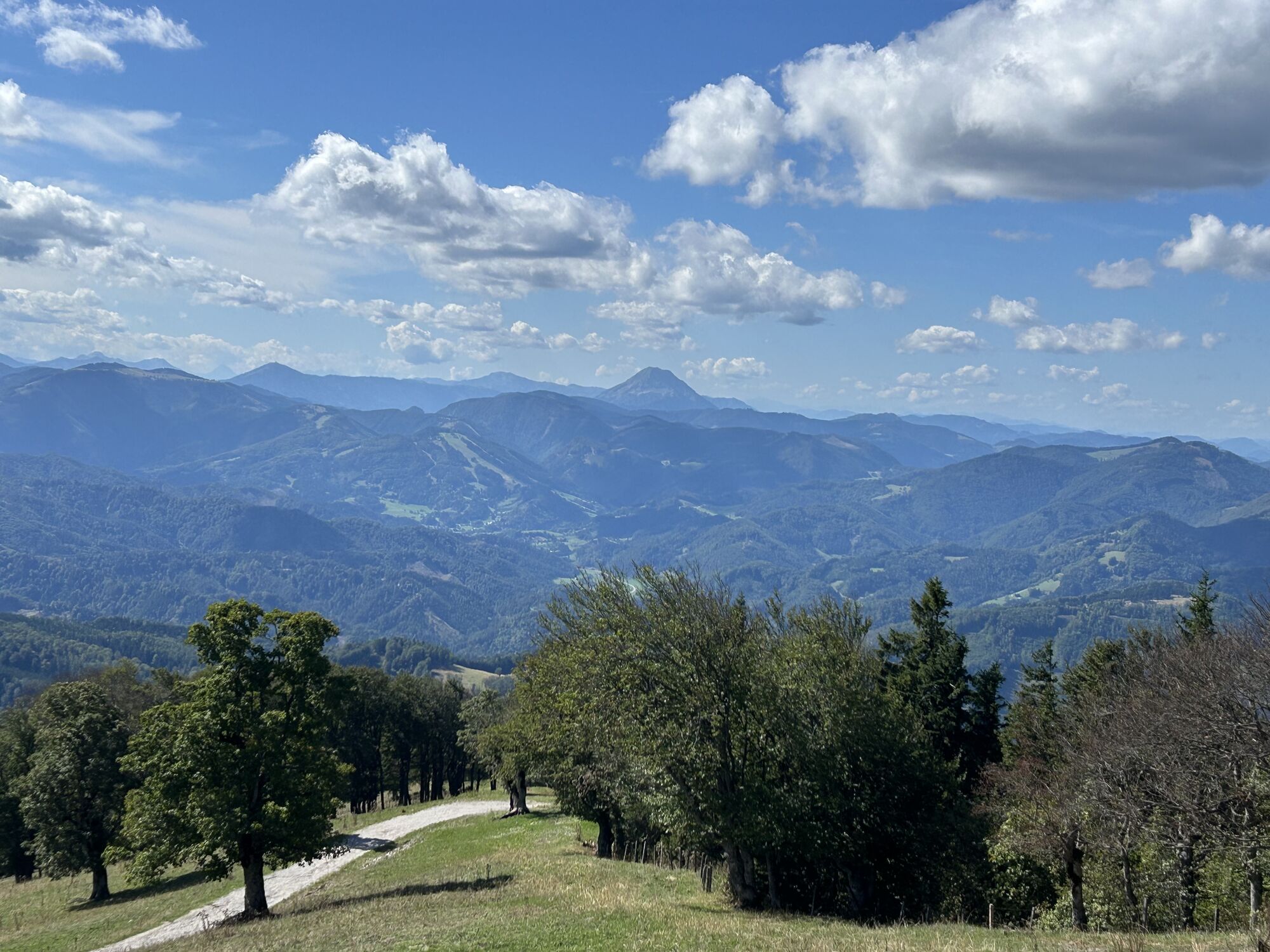
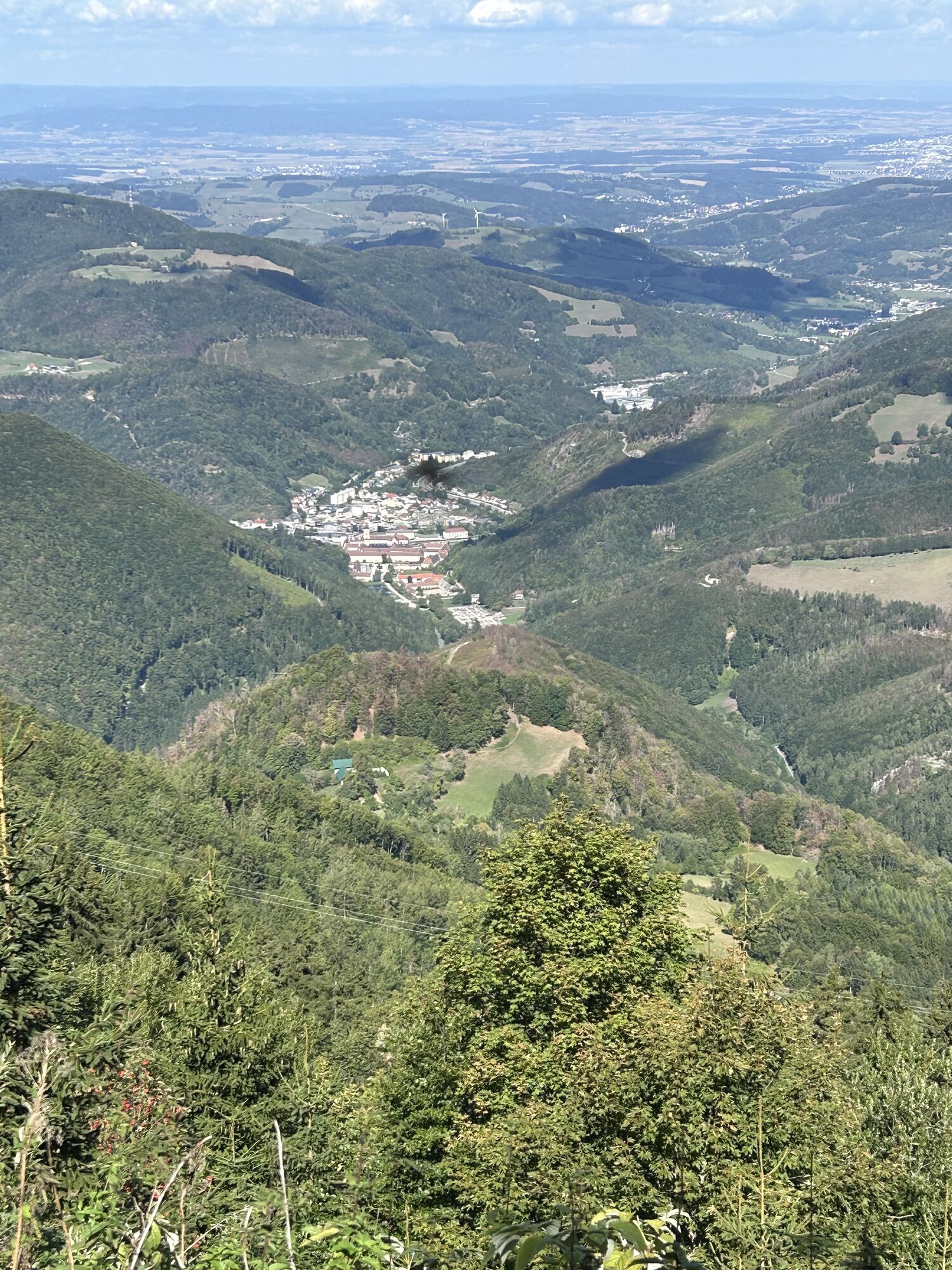
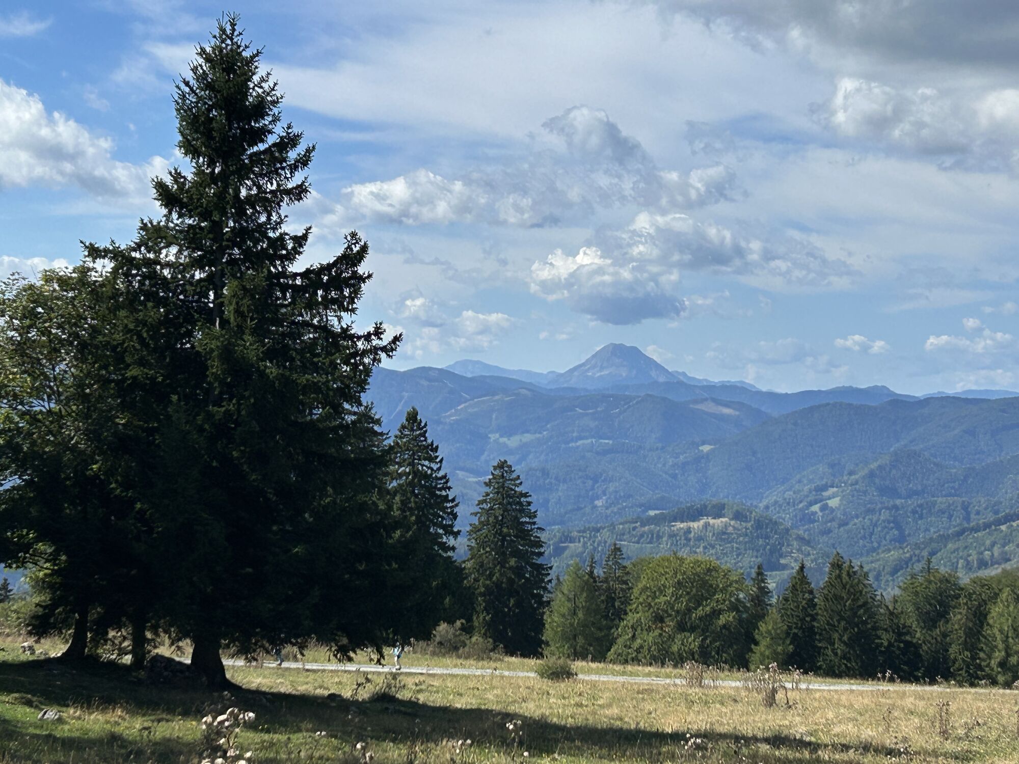
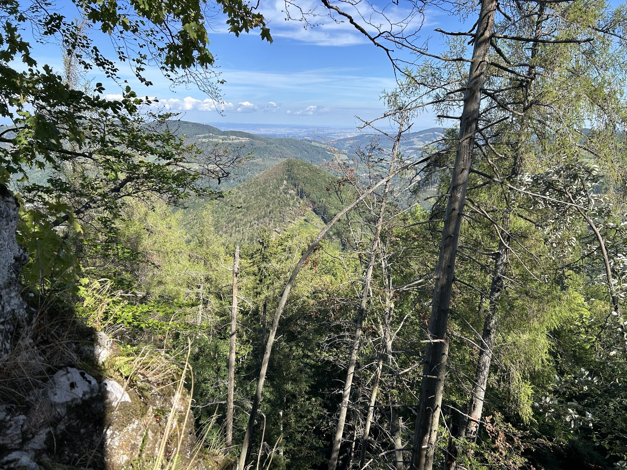
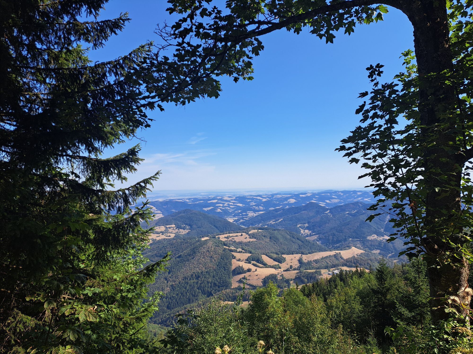
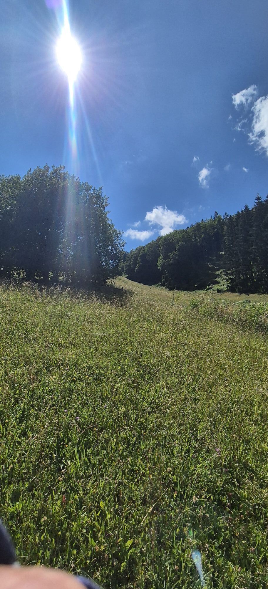
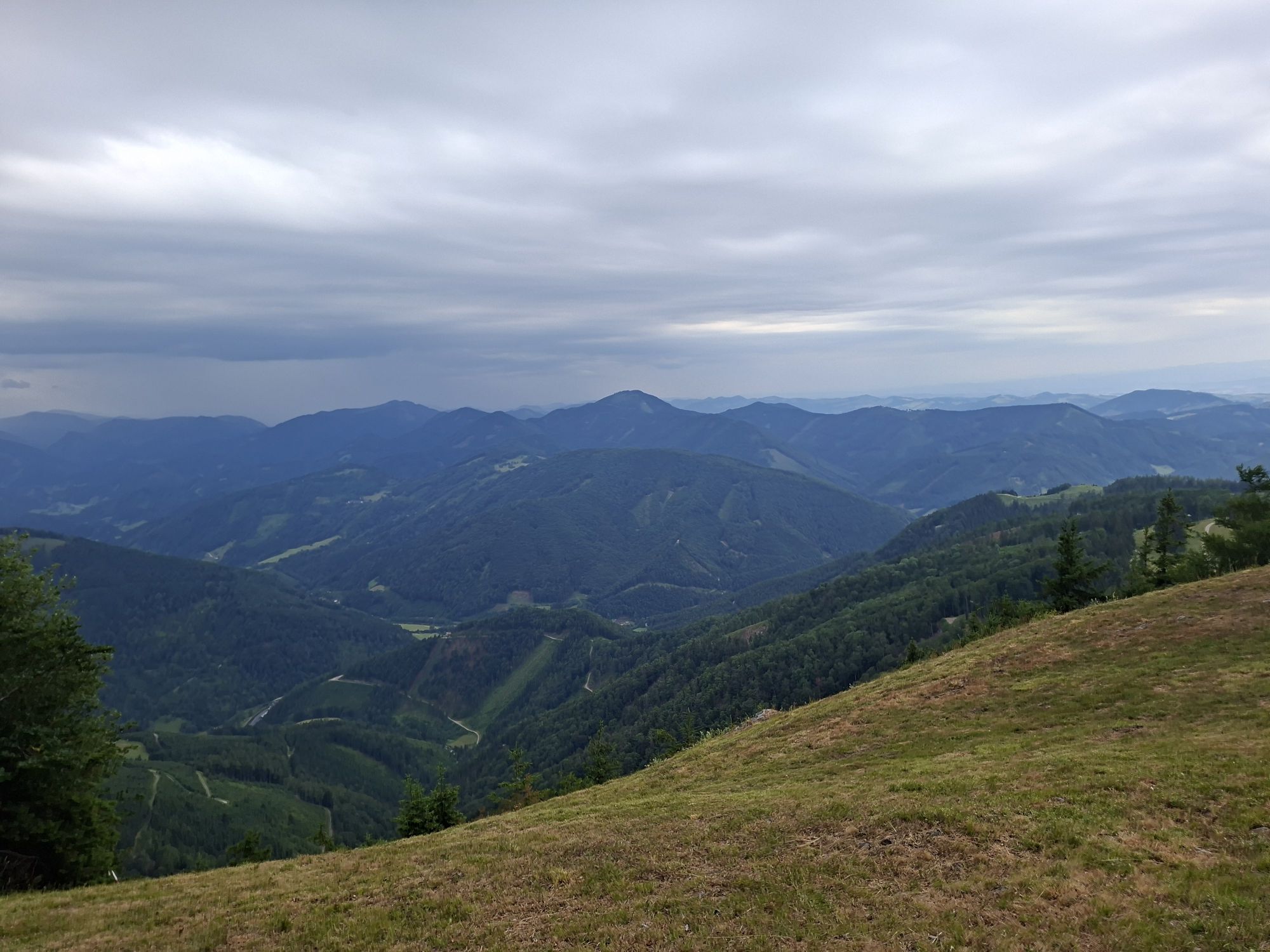
The gentle hills of the foothills of the Mostviertel Alps have always been of great attraction to people. It was not for nothing that Cistercians settled here as early as the 13th century and built a magnificent...
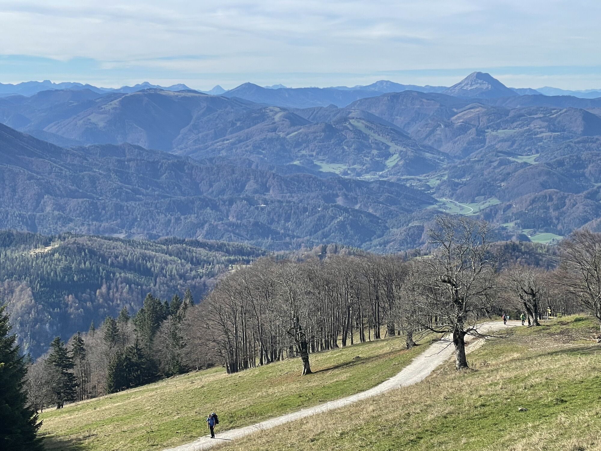
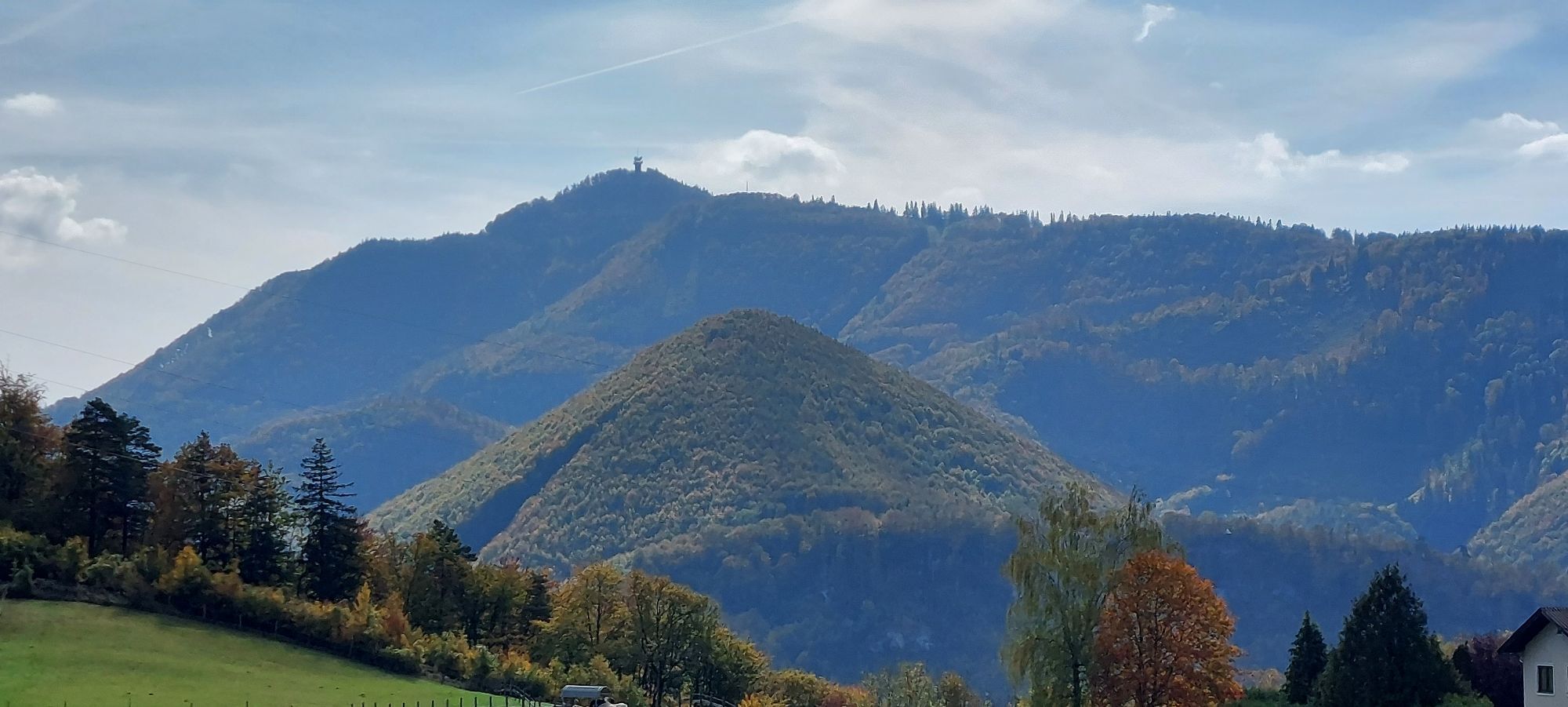
The gentle hills of the foothills of the Mostviertel Alps have always been of great attraction to people. It was not for nothing that Cistercians settled here as early as the 13th century and built a magnificent monastery.
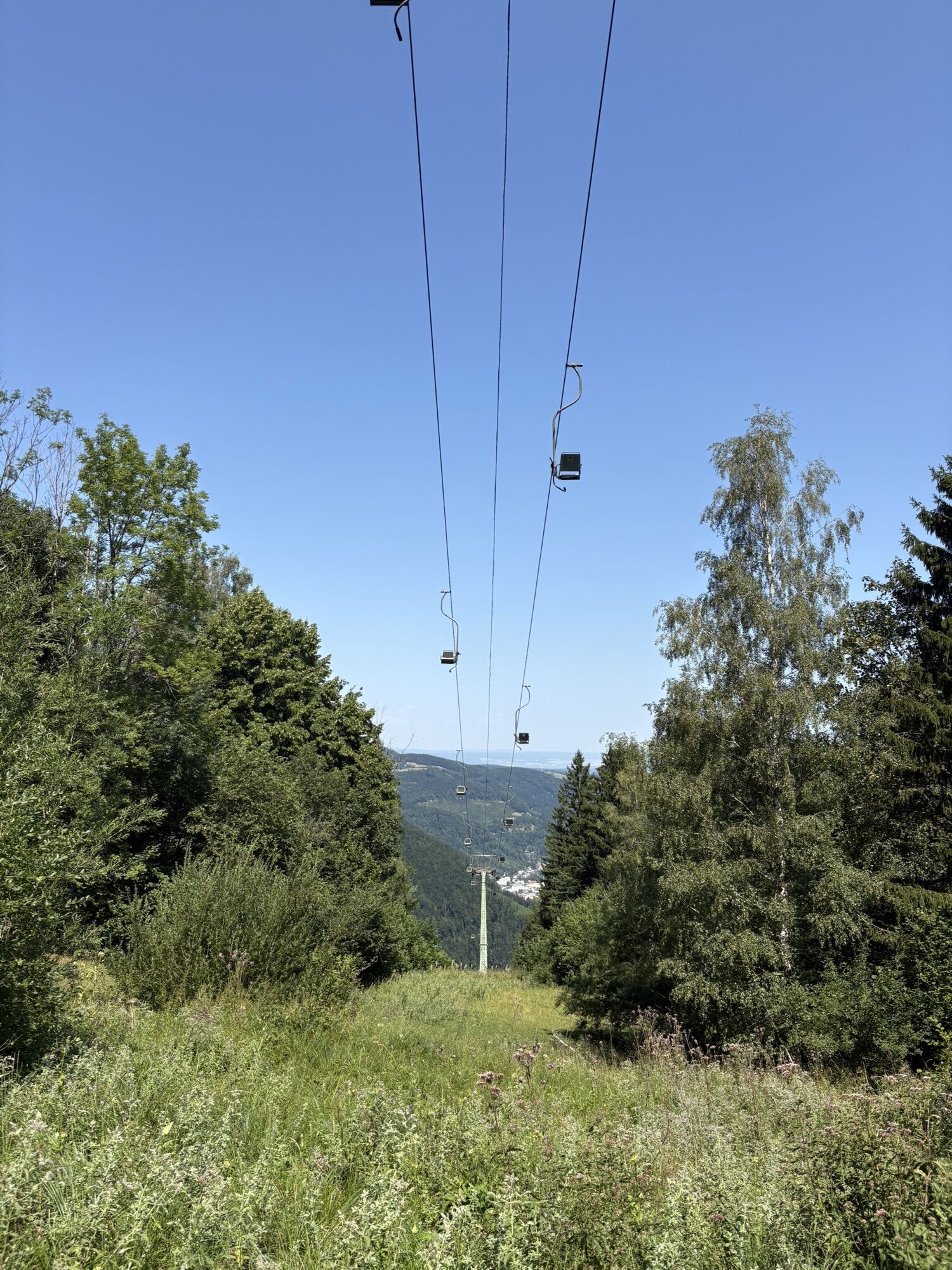
Matthias Zdarsky organized the first alpine ski race in history on the Lilienfeld Muckenkogel. Today, Lilienfeld's local mountain mainly attracts hikers.

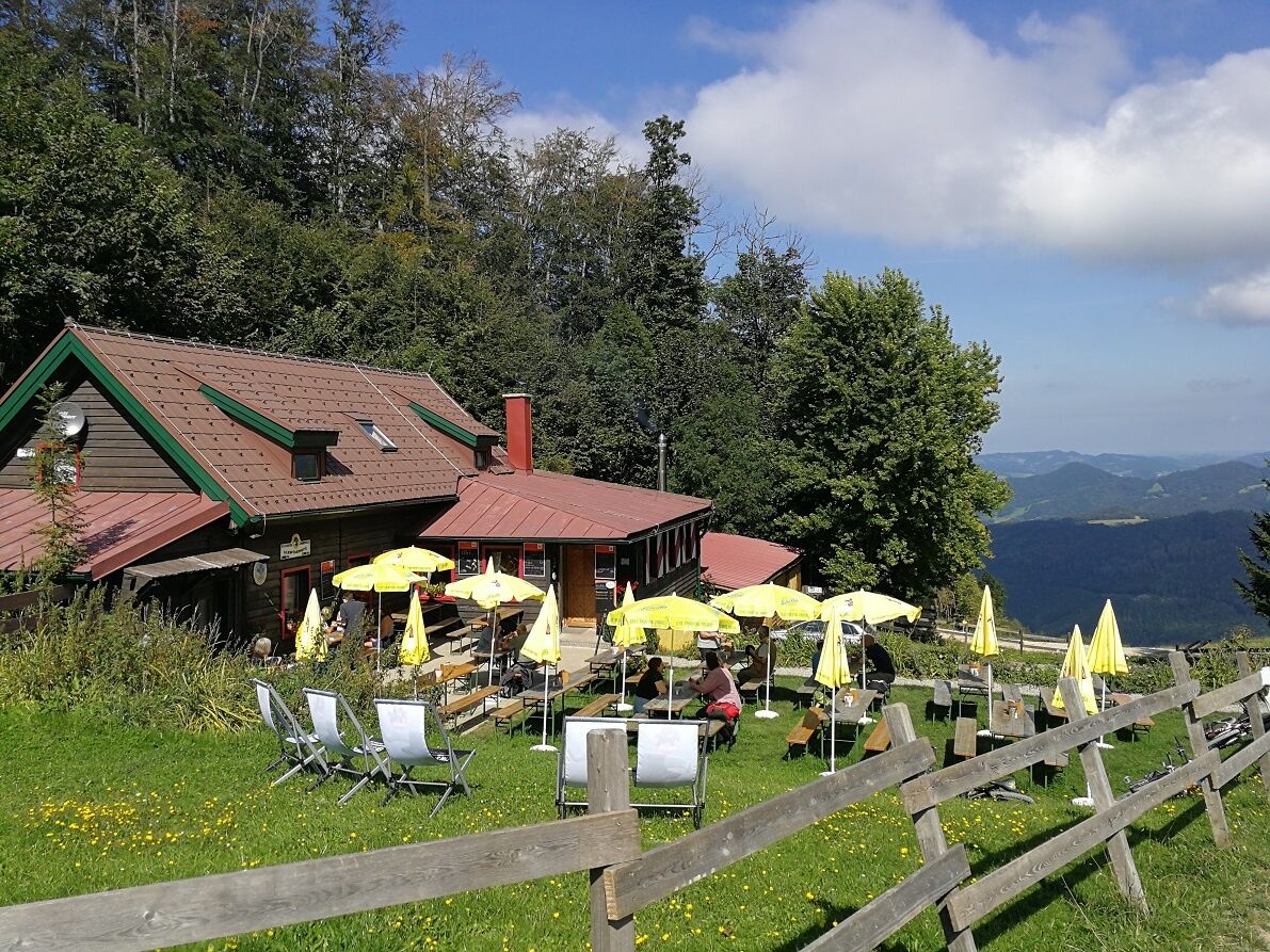
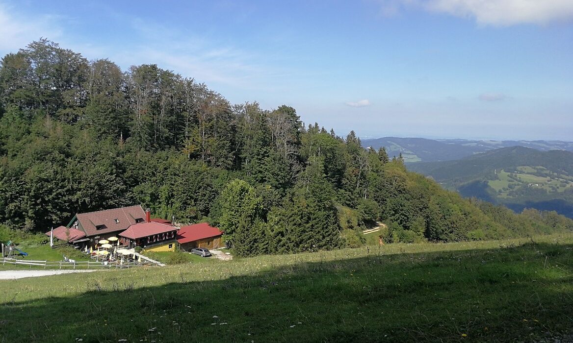
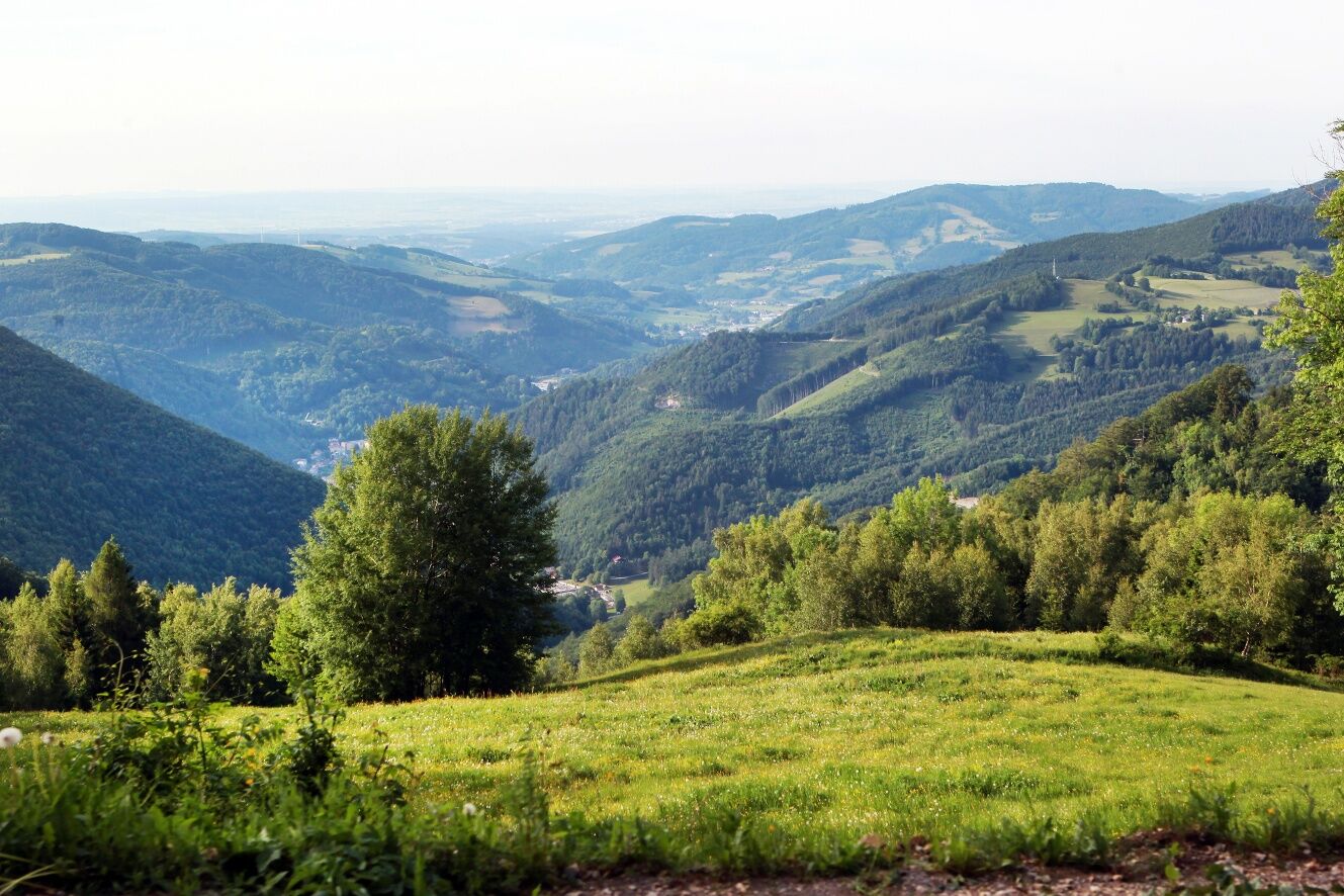
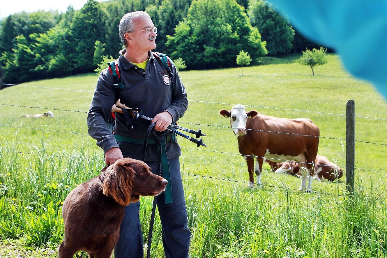

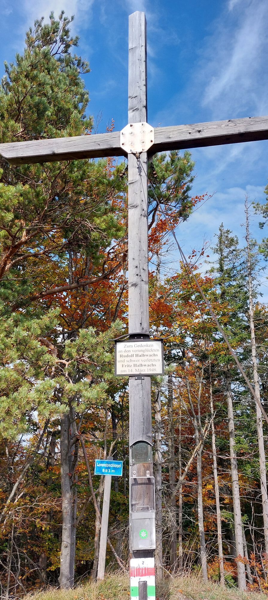
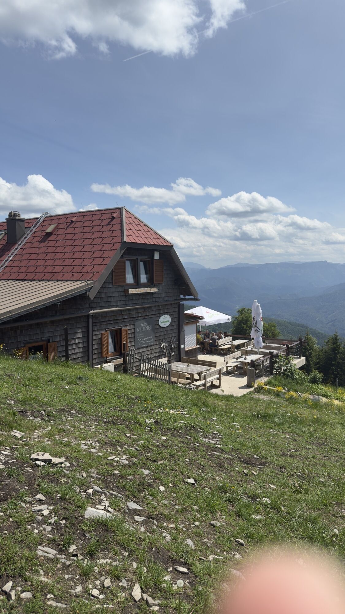
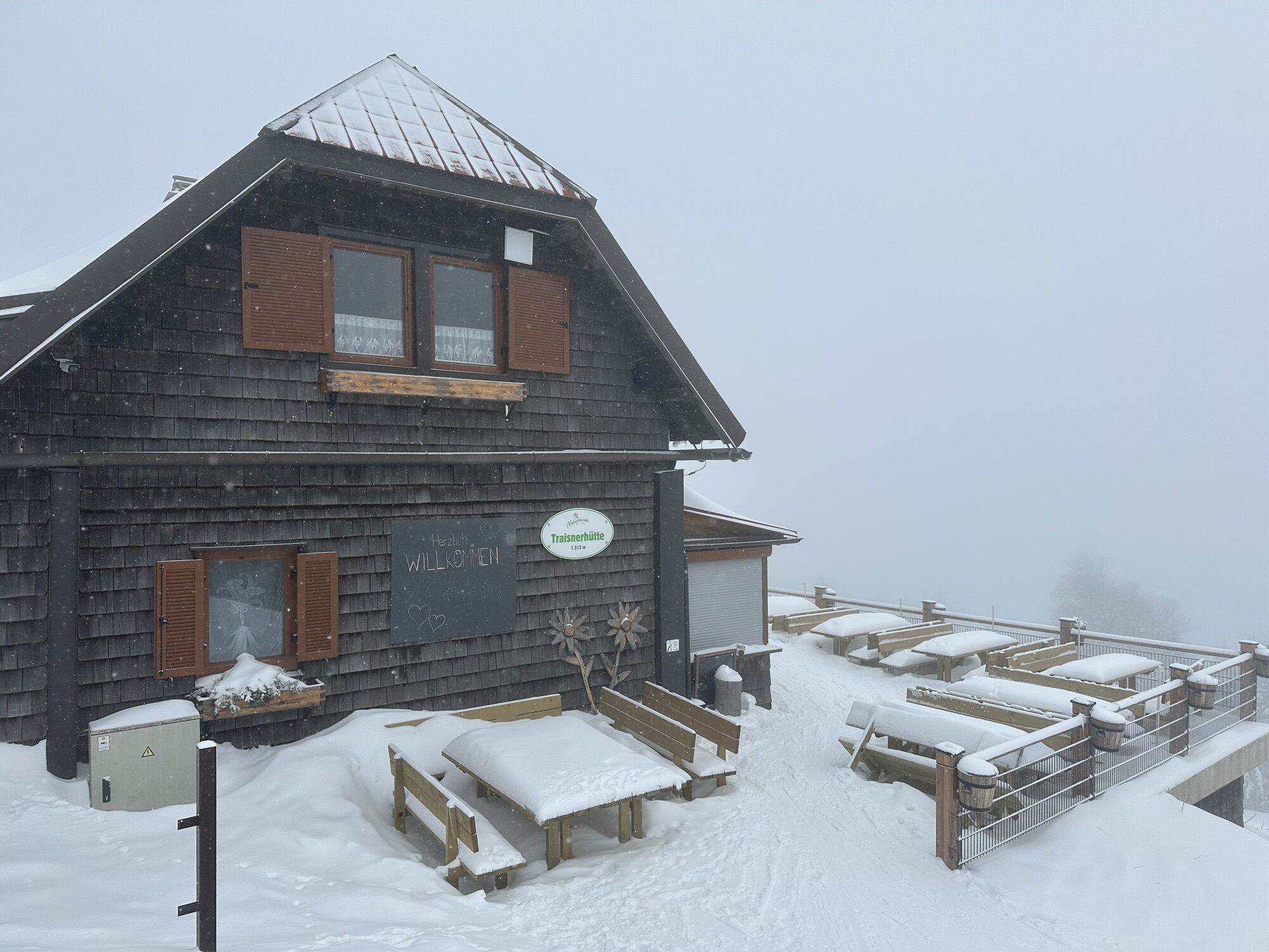
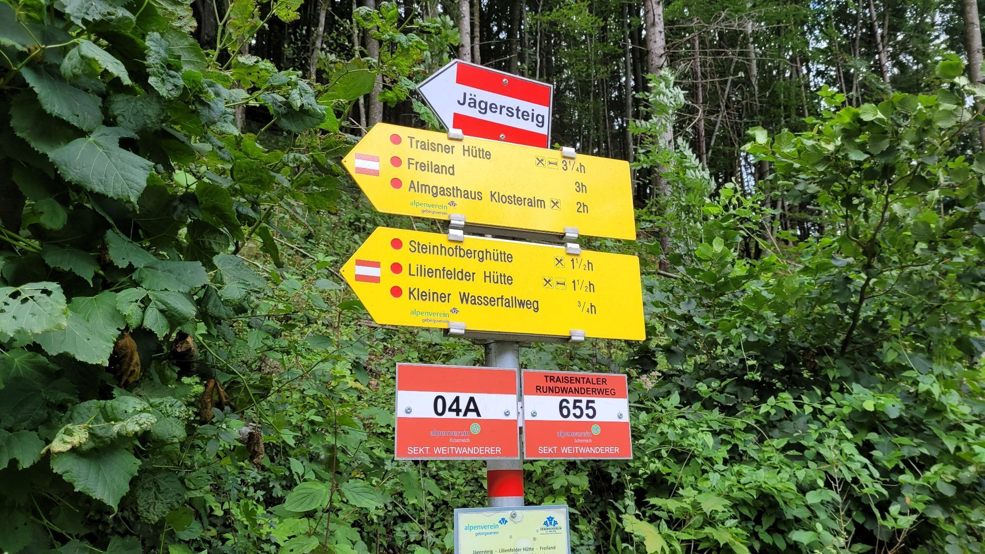
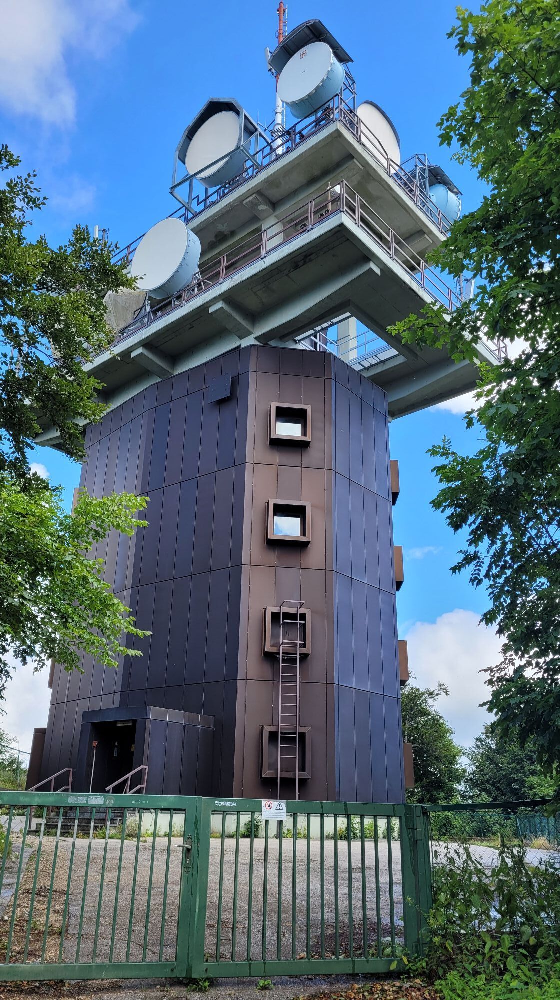
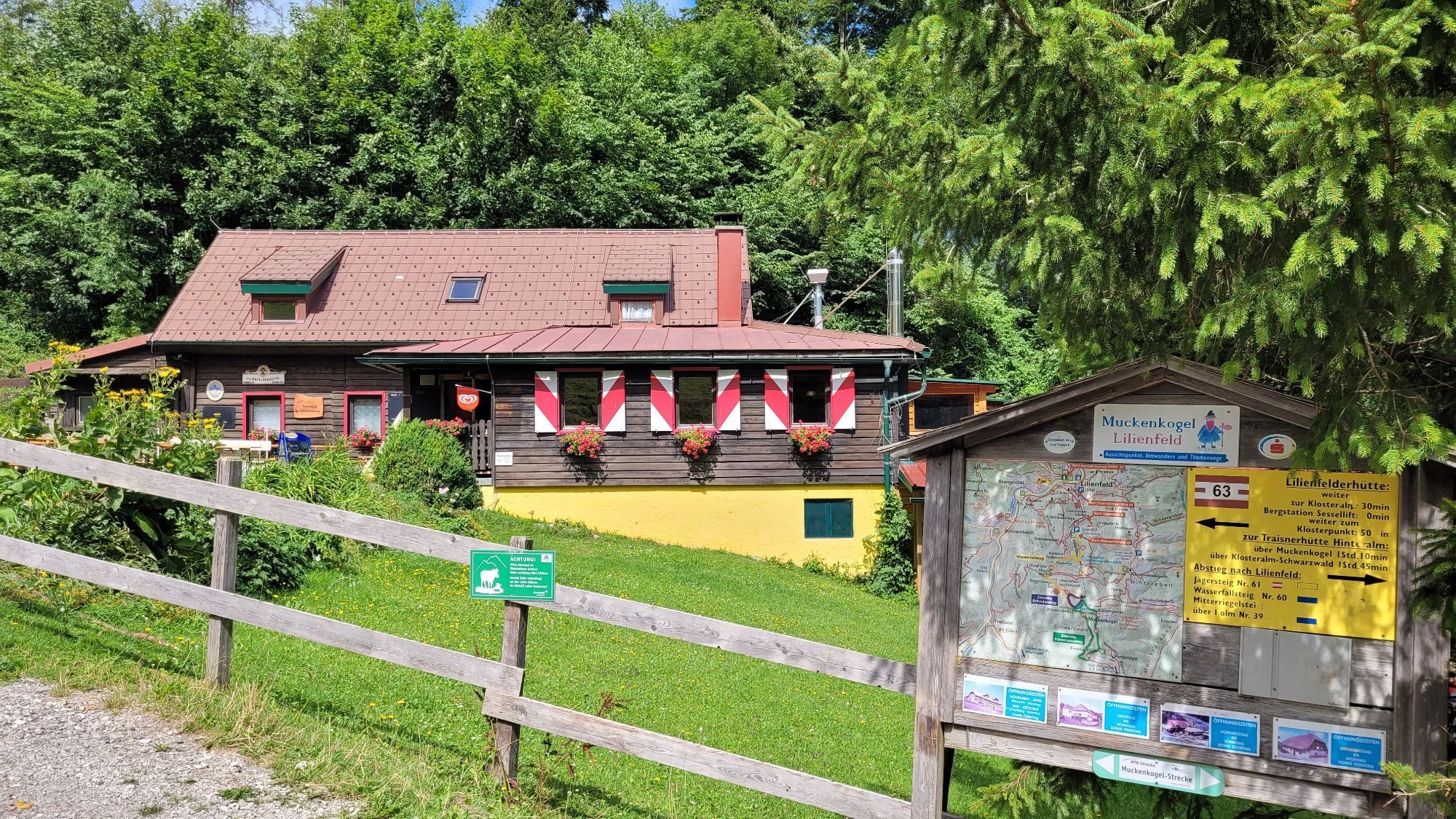
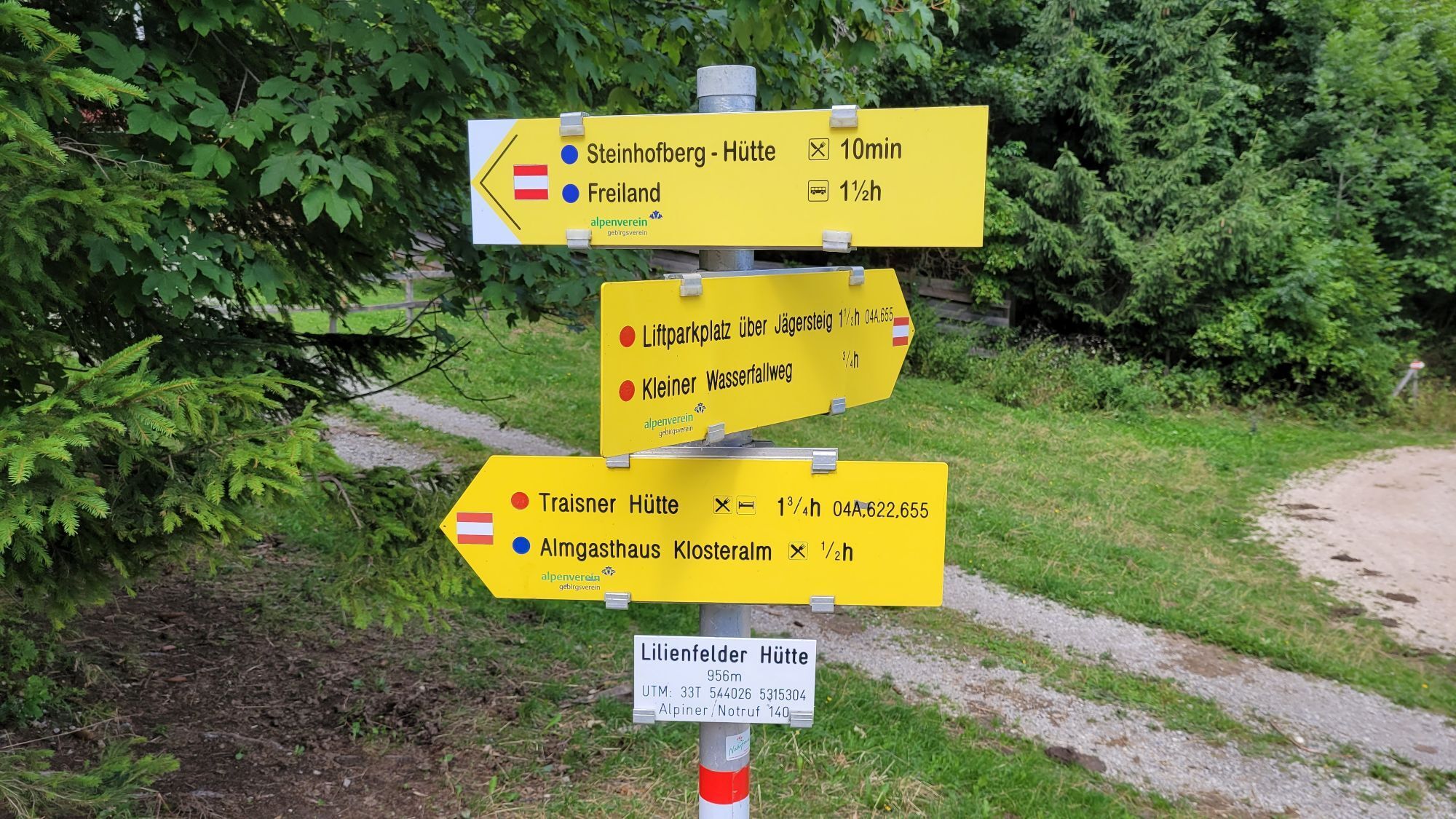
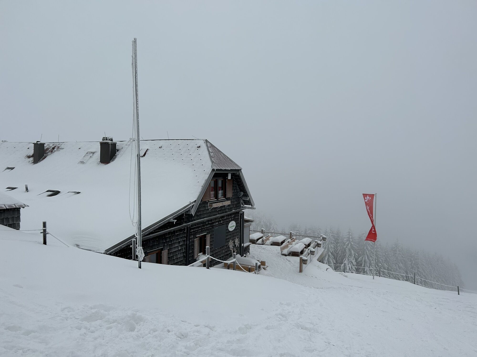
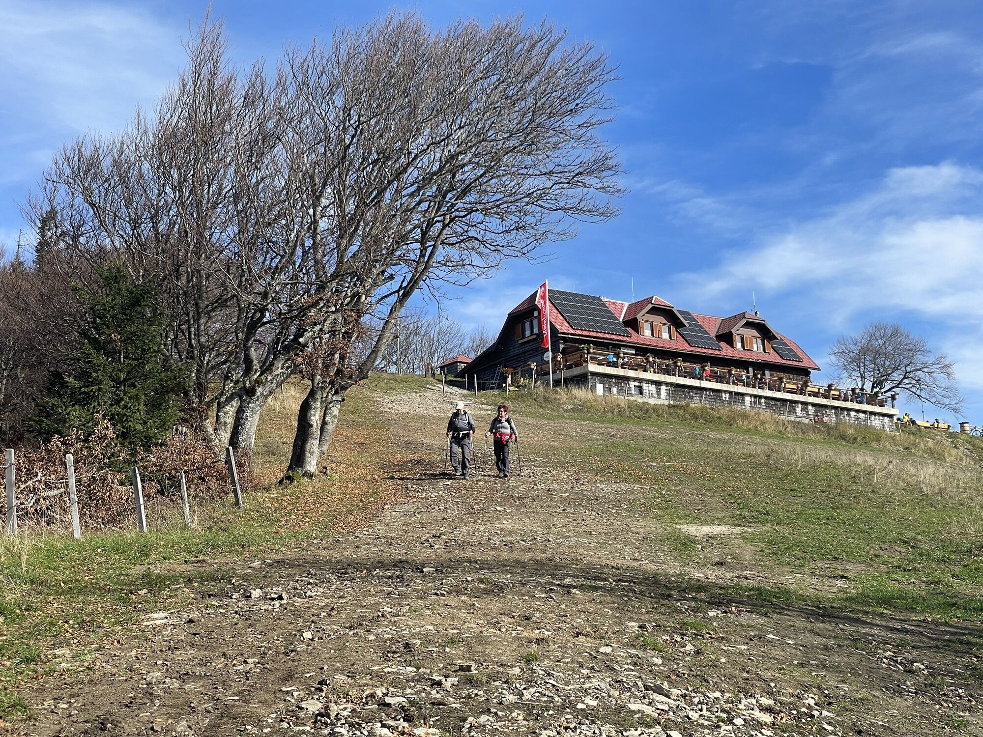
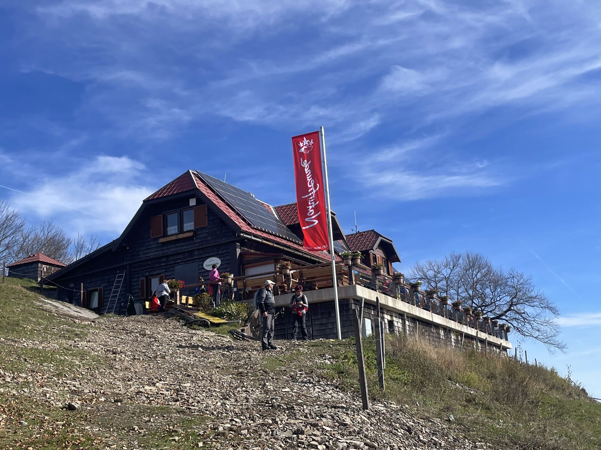
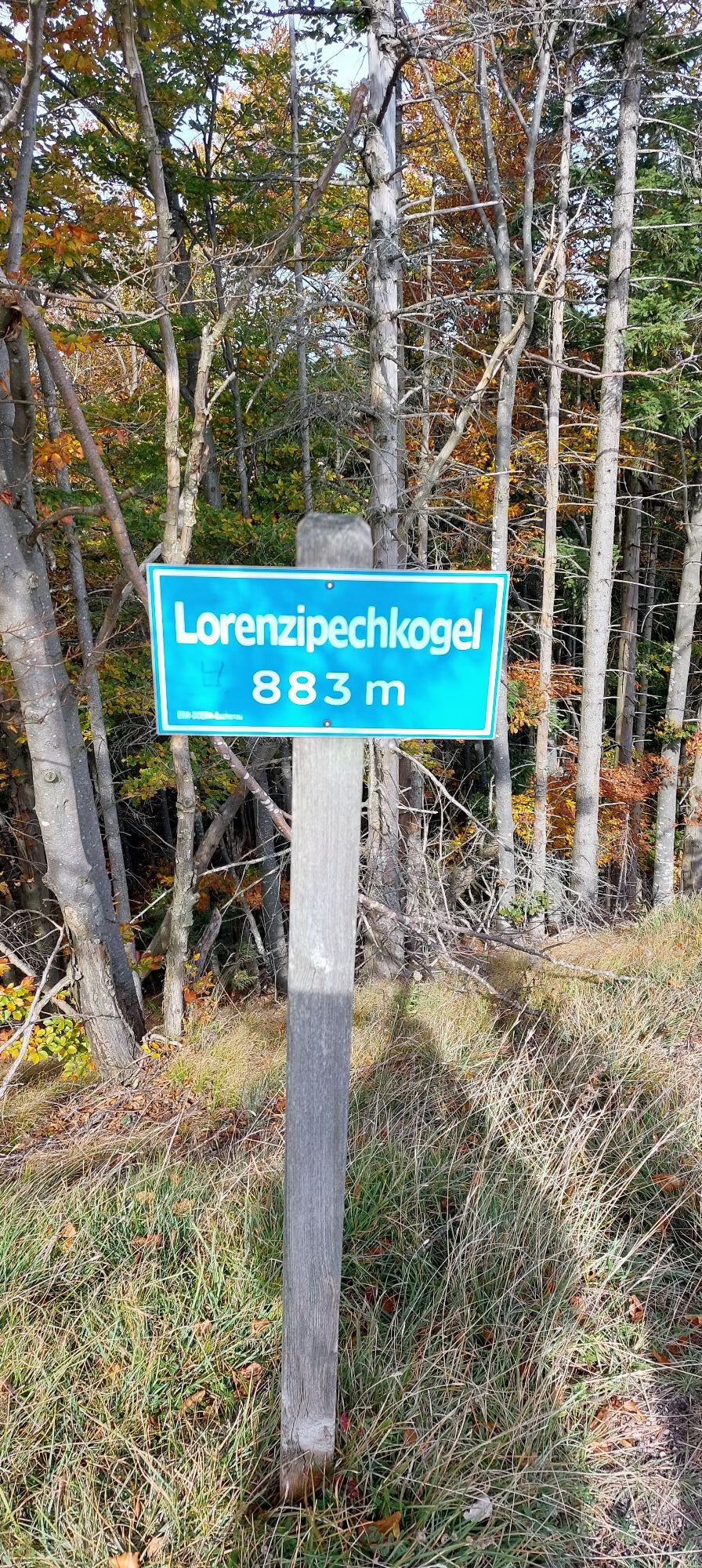
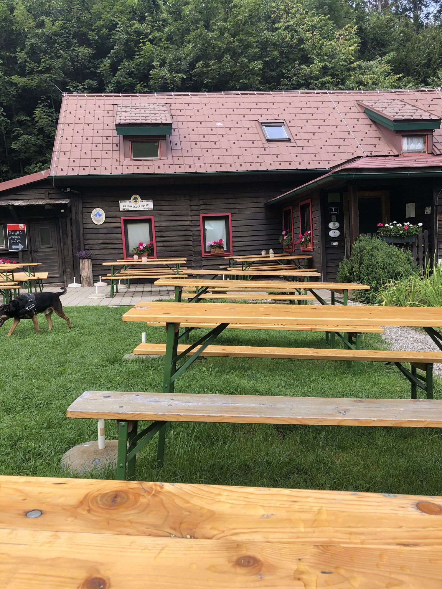
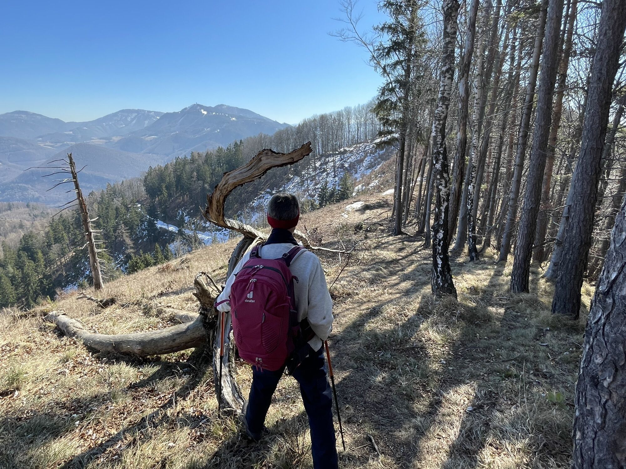
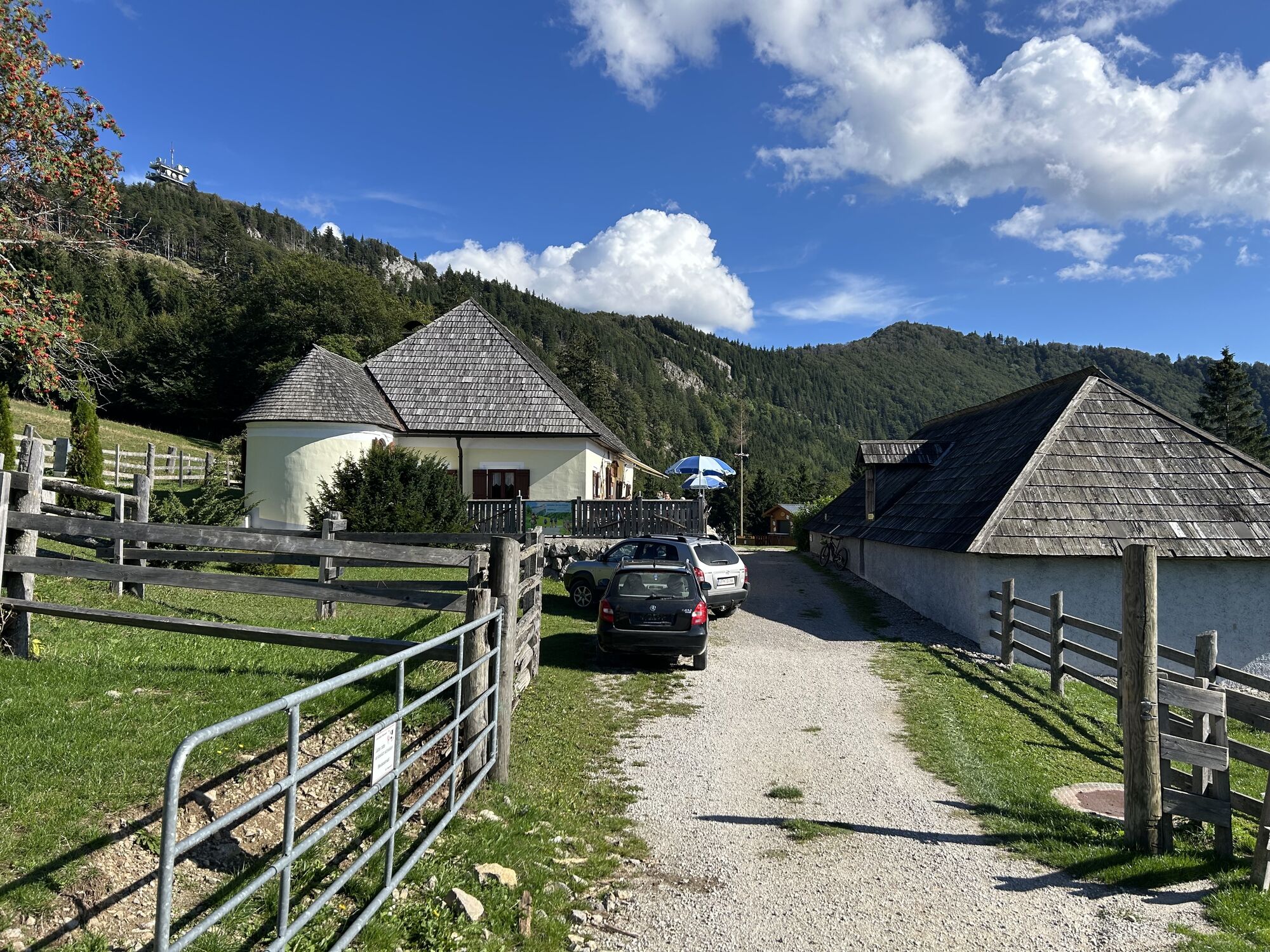
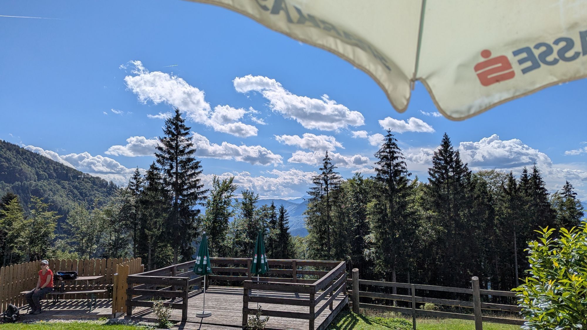
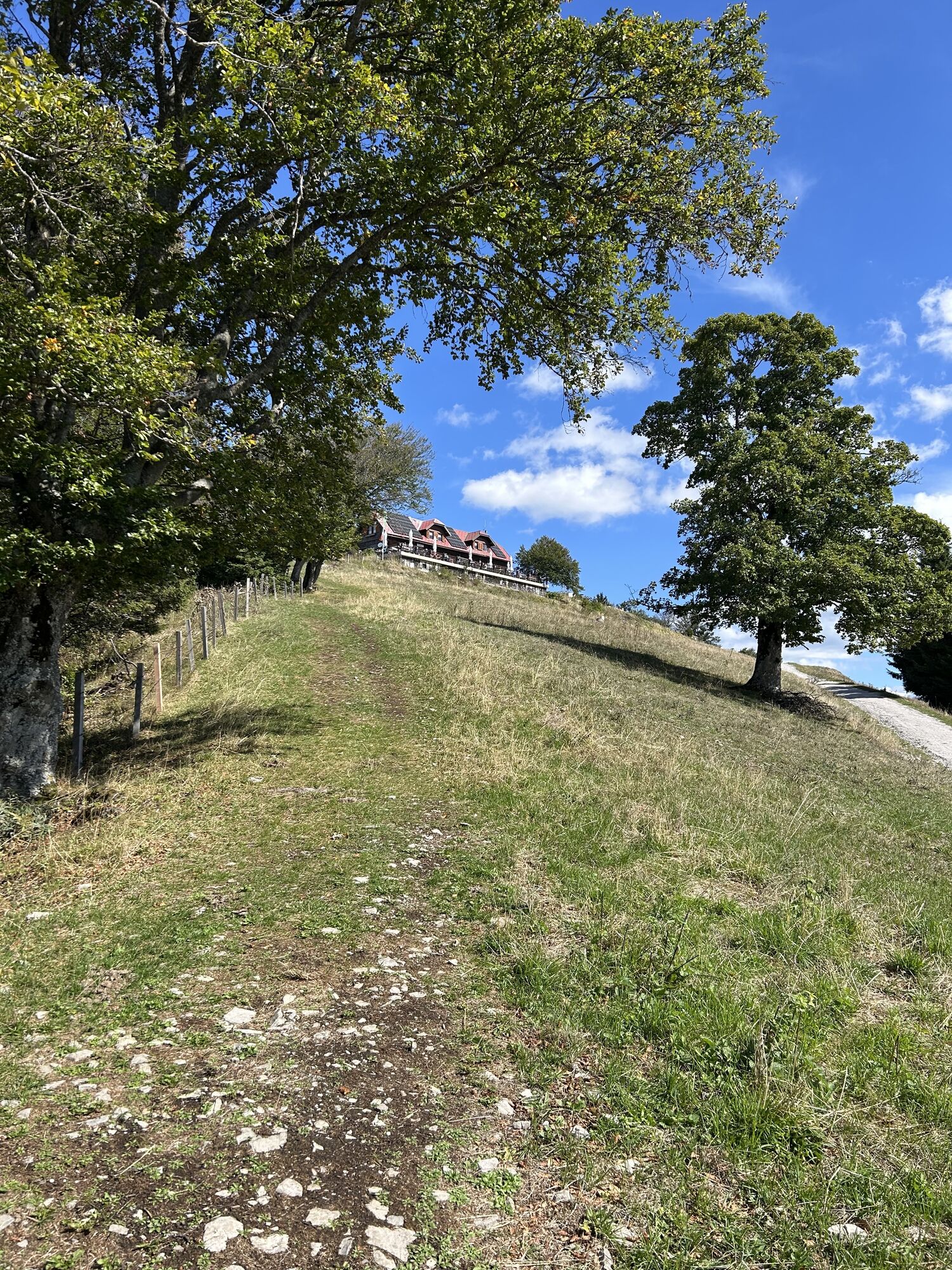
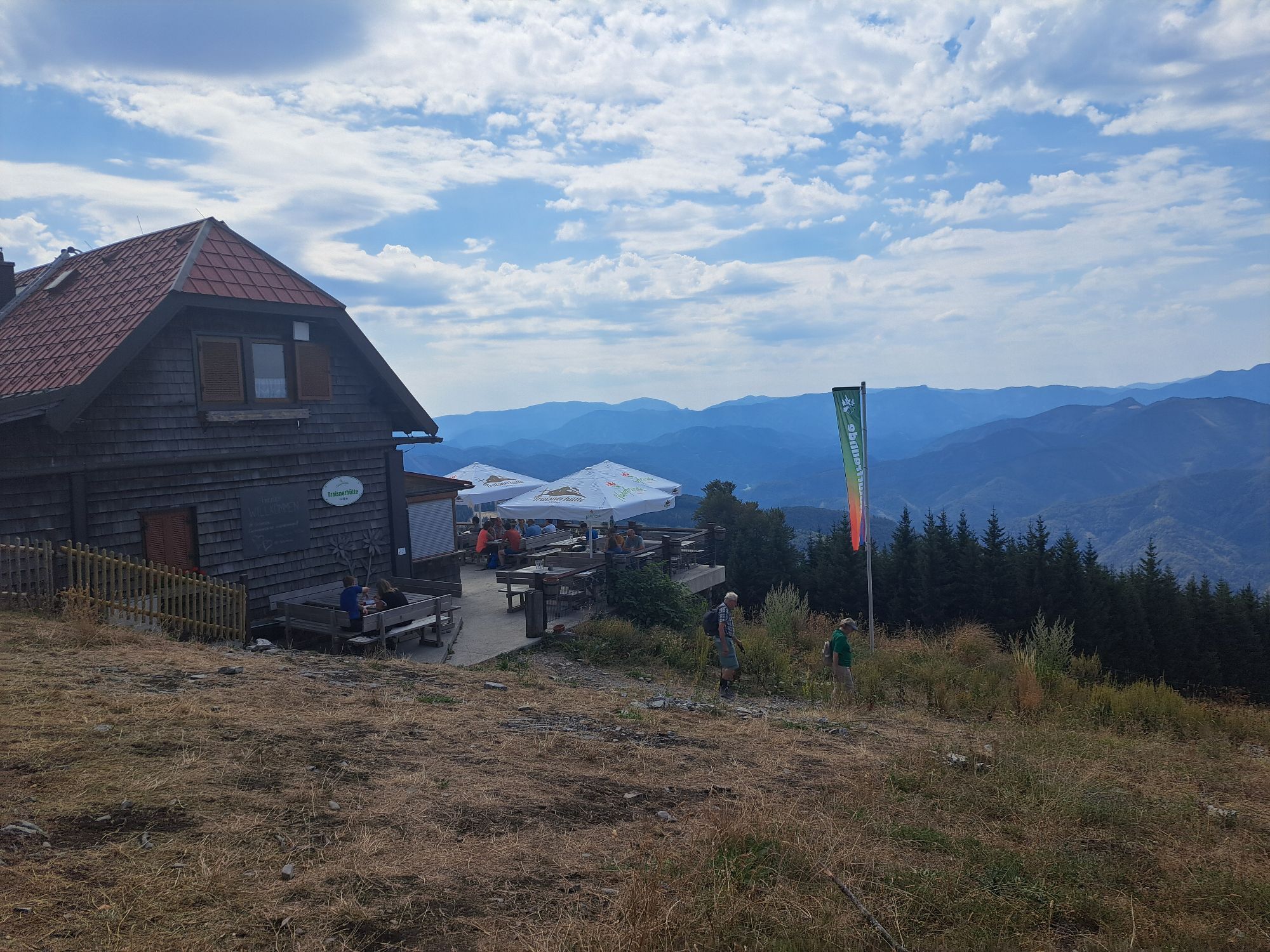
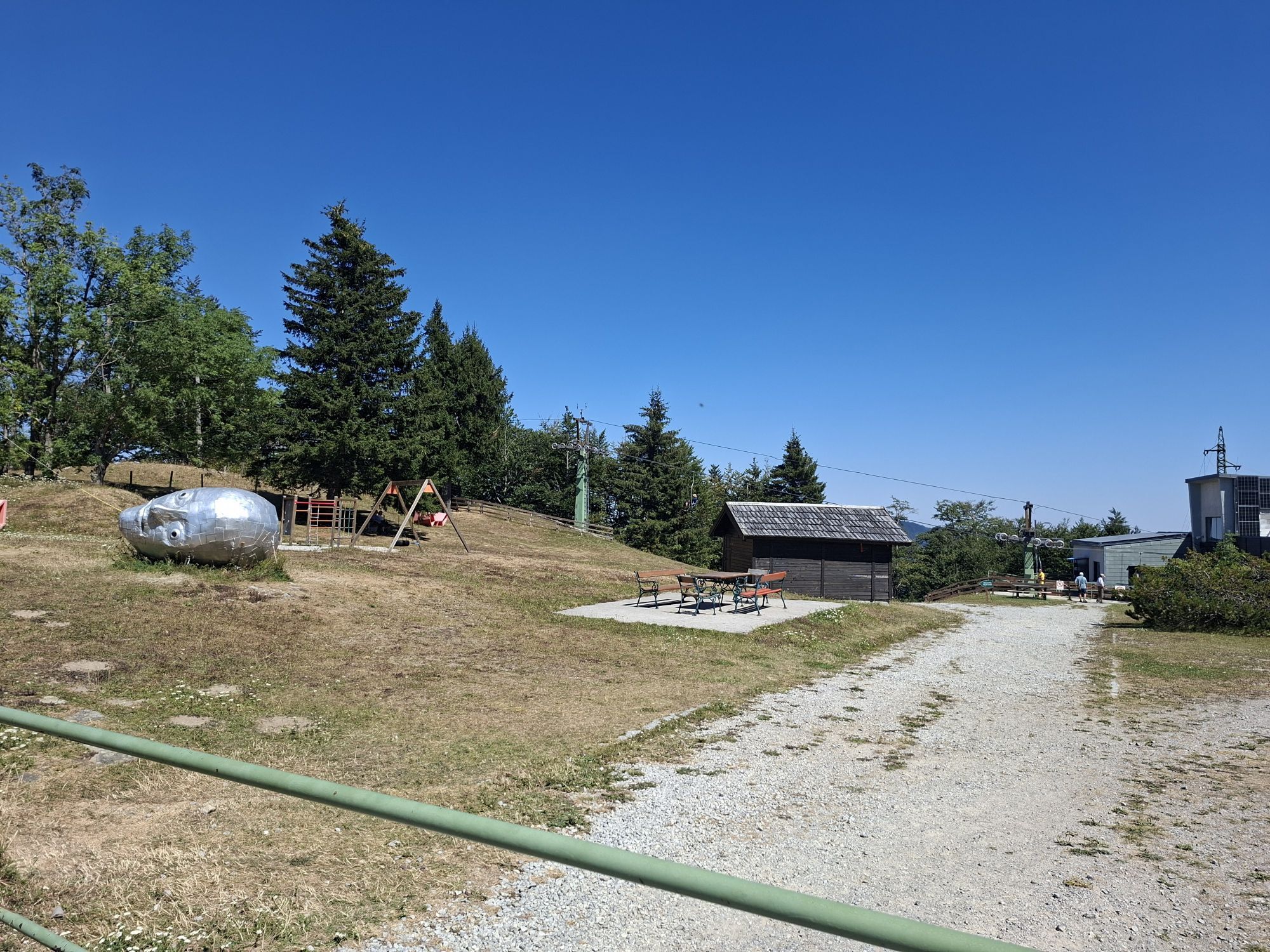
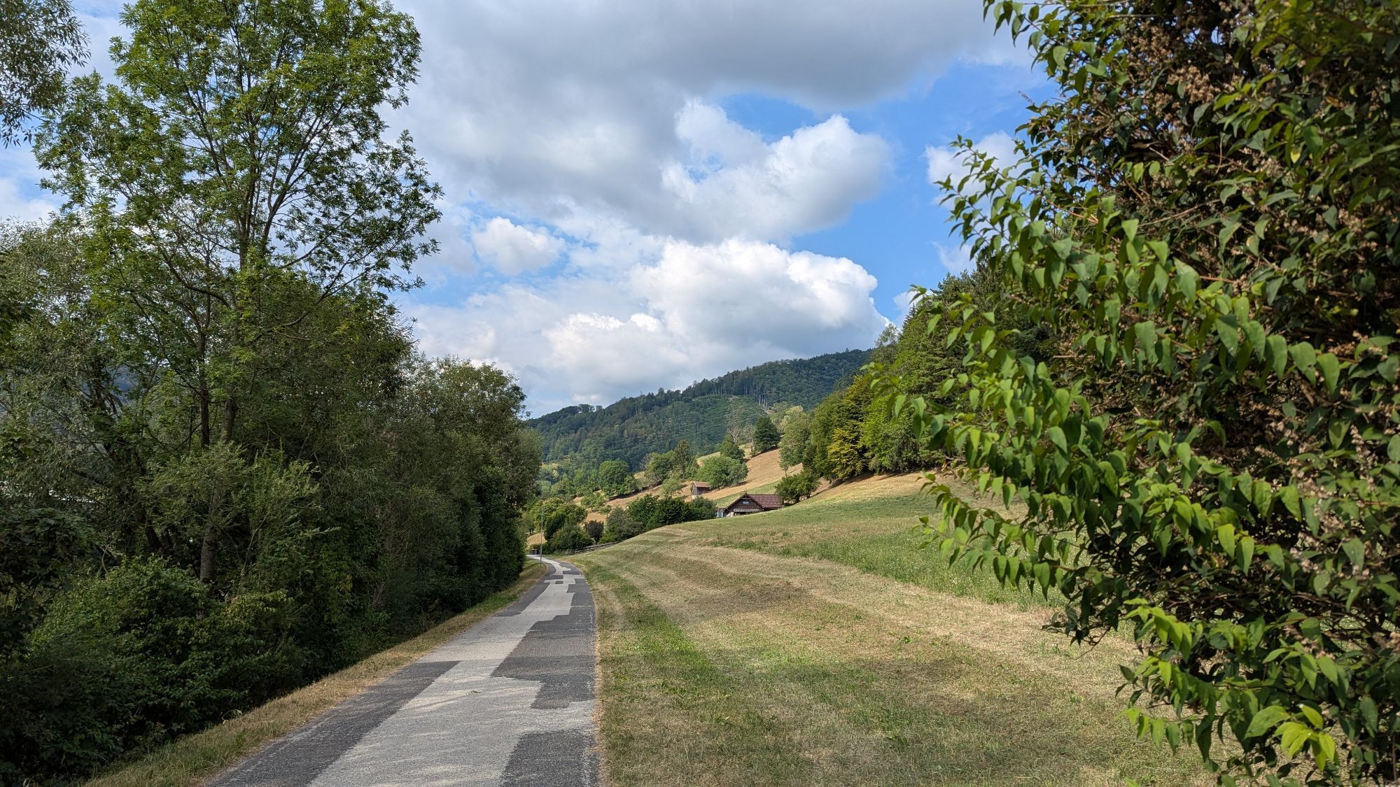
From the Lilienfeld District Local History Museum, follow Dörflstraße and after about 300 m turn right into Jungherrntalstraße. After about 4.2 km, you reach Taurer Chapel, turn left and continue hiking along the ridge path to Höhenberg (863 m). Then you reach Zeitelhofsattel and finally arrive at Lorenzi-Pechkogel (880 m, about 1¼ hours). On idyllic forest paths, it goes to Schneerosenwarte and then downhill to Schrambacherberg near Schrambach. Opportunity to stop: "Hof am Steg." Continue alongside the Traisen river to Stangental, cross the bridge towards the hospital into the "Stille Tal" (Quiet Valley). Here the marking changes from red to yellow. Steep ascent leads to Glatzwiese, over the hunter's path to Lilienfeld Hut (Gschwendt). Across the alpine meadow to Klosteralpe (1067 m). Now steeply uphill over Schwarzwaldriegel to Traisner Hut on Hinteralpe (1311 m). The descent follows via Muckenkogel to Lilienfeld Hut, along Kolmstraße to the snack station Billensteiner, further over Hadecker to the Höhenkreuz (broadcasting tower). Continue over Elisenhöhe to the residence of the founder of alpine skiing, Matthias Zdarsky. Then past the grave site "Zdarskyruhe" and downhill to Marktl. Finally, the starting point is reached via the comfortable bike path.
A1 exit St. Pölten South - turn right onto B 20 towards Mariazell - Lilienfeld District Local History Museum
District Local History Museum
Lilienfeld Tourist Office
P.O. Box 1
3180 Lilienfeld
Tel. 02762/522 12
Fax 2762/522 12 16
gemeinde@lilienfeld.at
www.lilienfeld.at

Obľúbené výlety v okolí
-
5,0
Gutensteiner Alpen: Ebenwaldhöhe - Reisalpe
svetloTuristika 4,70 km -
4,8
Hohenstein von Sois
strednáTuristika 12,0 km -
4,6
Eisenstein Rundweg von Türnitz-Knedelhof
svetloTuristika 10,2 km -
4,6
Türnitz - Eisenstein Türnitz, Niederösterreich
strednáTuristika 15,5 km -
4,6
LILIENFELD Grünes Tor Muckenkogel Hinteralm Klosteralm 20201025
strednáTuristika 11,7 km -
4,4
Hohenstein 1195m - Sois im Pielachtal
svetloTuristika 10,6 km -
4,4
Kaiserkogel mit Start und Ziel in Eschenau
svetloTuristika 10,2 km -
4,4
Hochstaff und Reisalpe
svetloTuristika 10,8 km -
4,5
Rundweg Ochsenburgerhütte
svetloTuristika 7,60 km -
4,6
FURTHOF Dachsgraben Türnitzer Höger Stadelbergkamm Gossental retour 28.08.2018
strednáTuristika 14,4 km
Turistika a stopovanie


Nenechajte si ujsť ponuky a inšpiráciu na ďalšiu dovolenku
Vaša e-mailová adresa bol pridaný do poštového zoznamu.





