



Tirolerkogel, the pre-Alpine classic

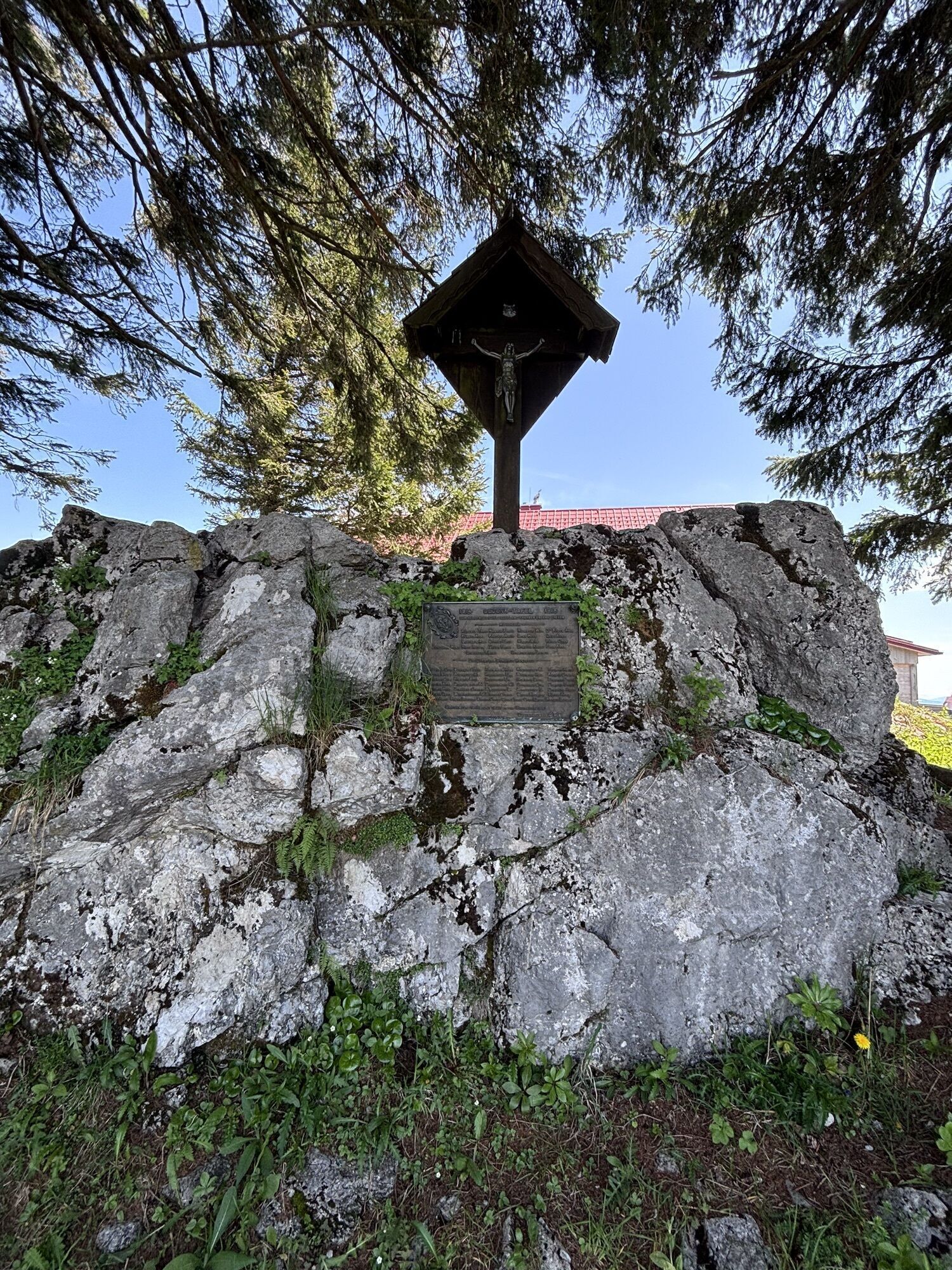
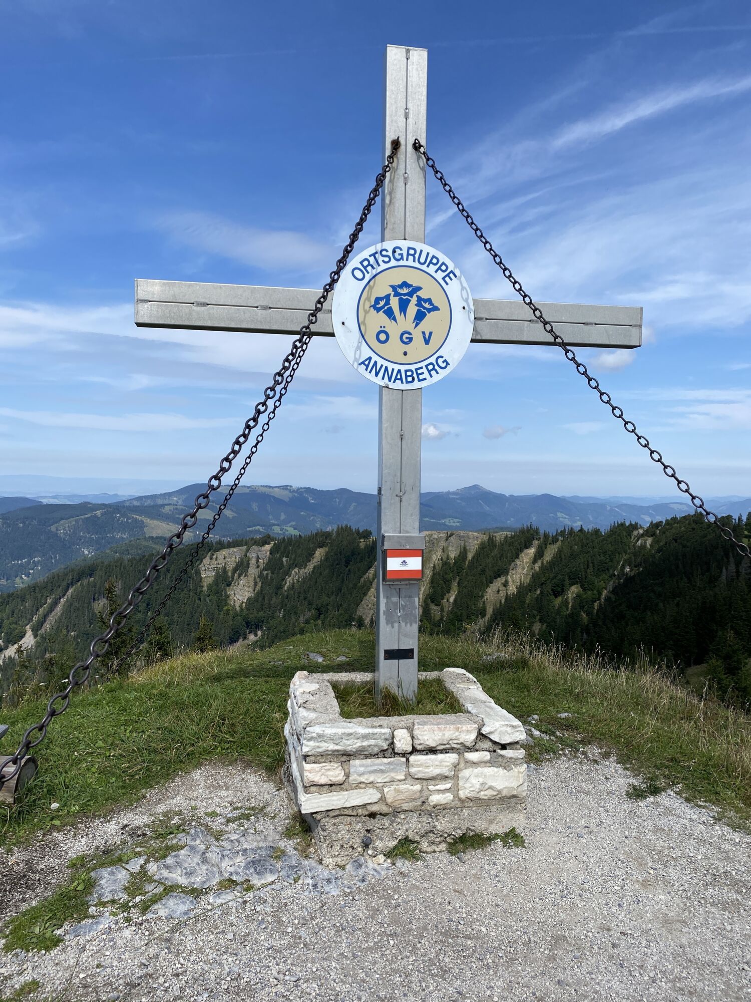
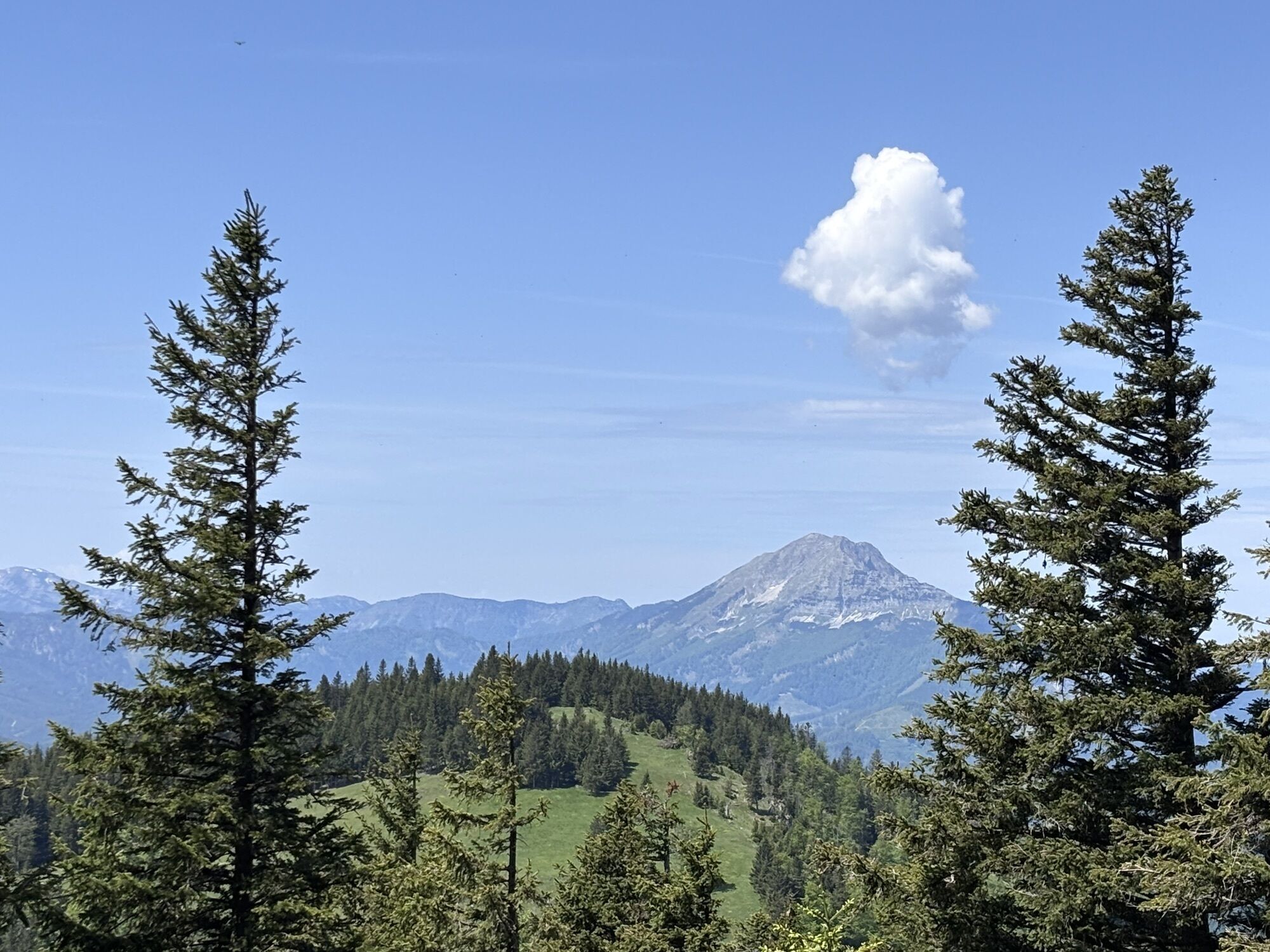
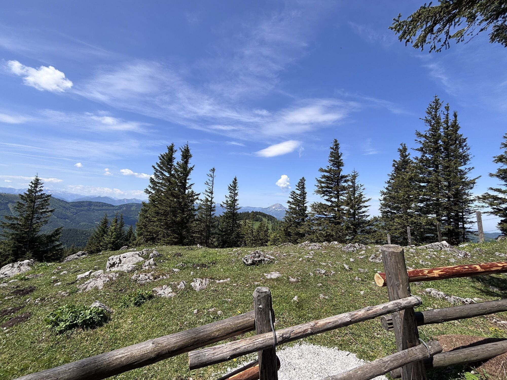
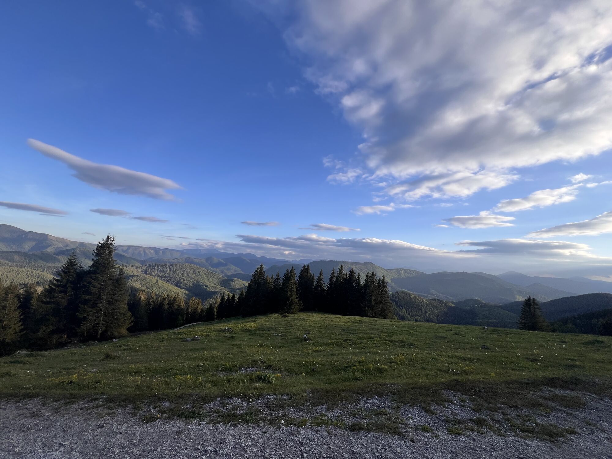
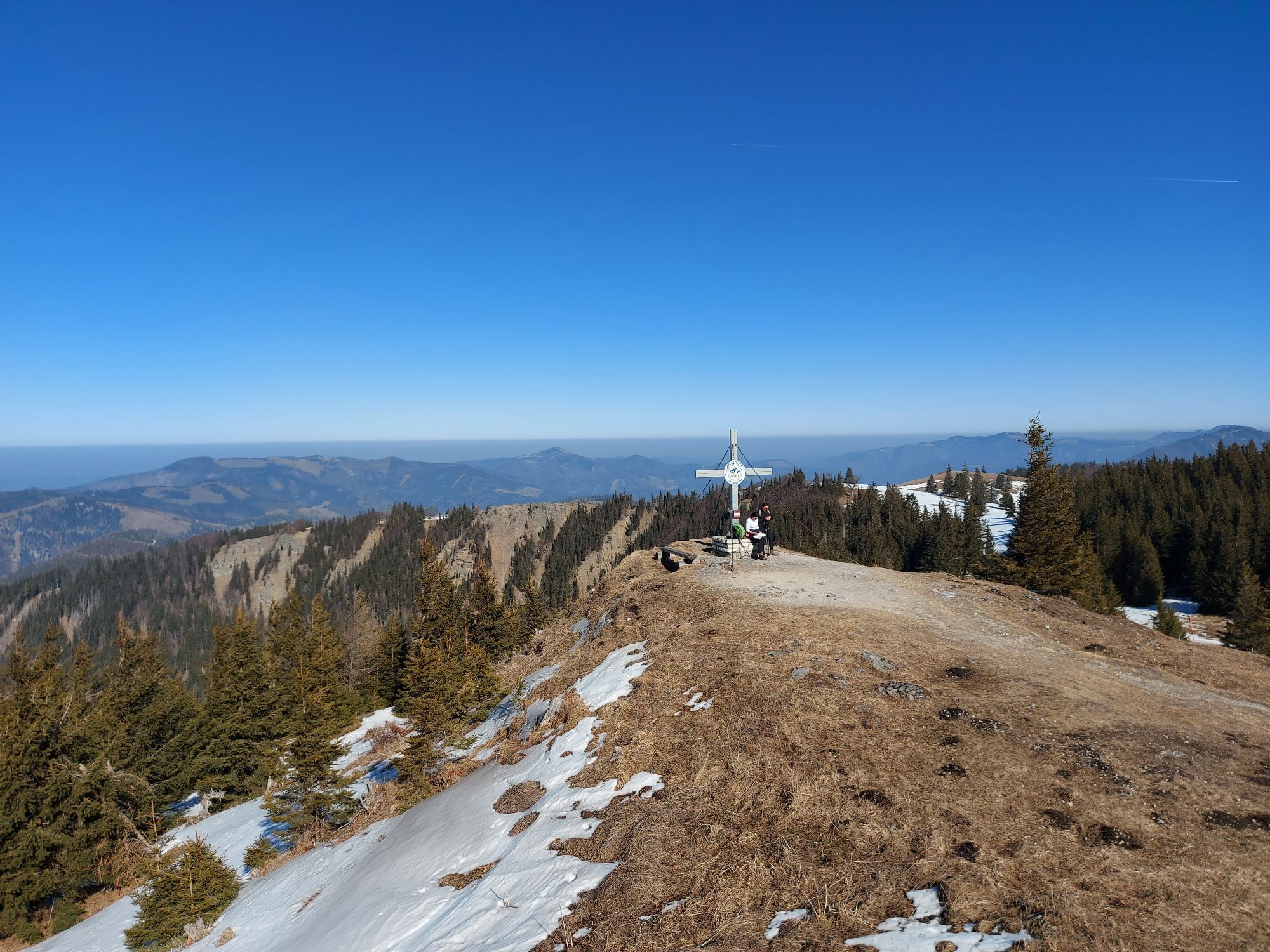
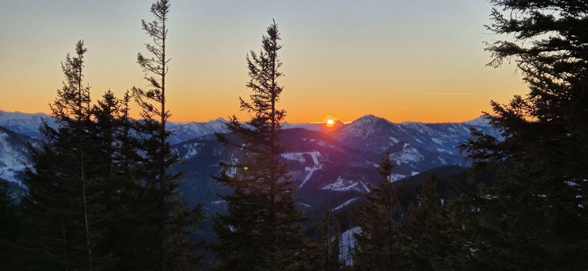
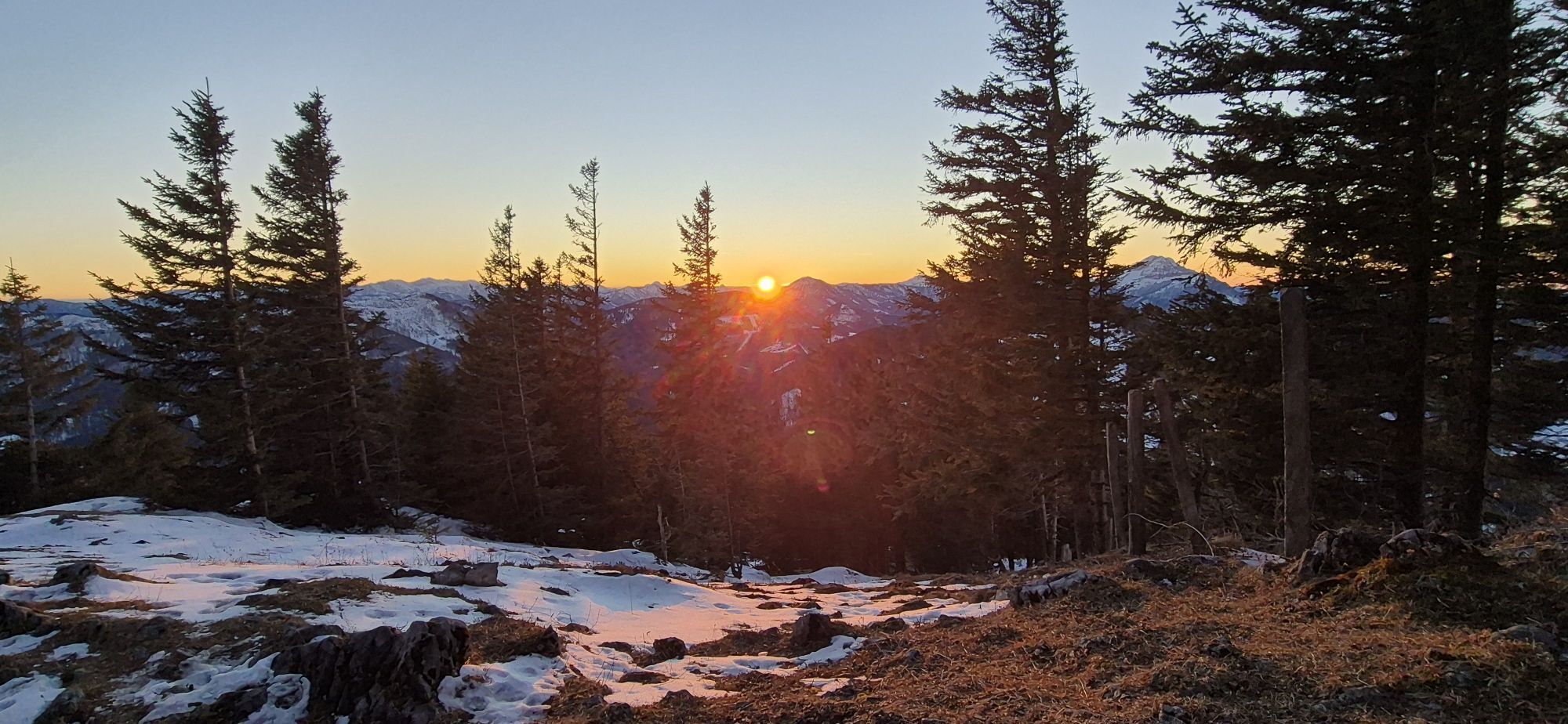
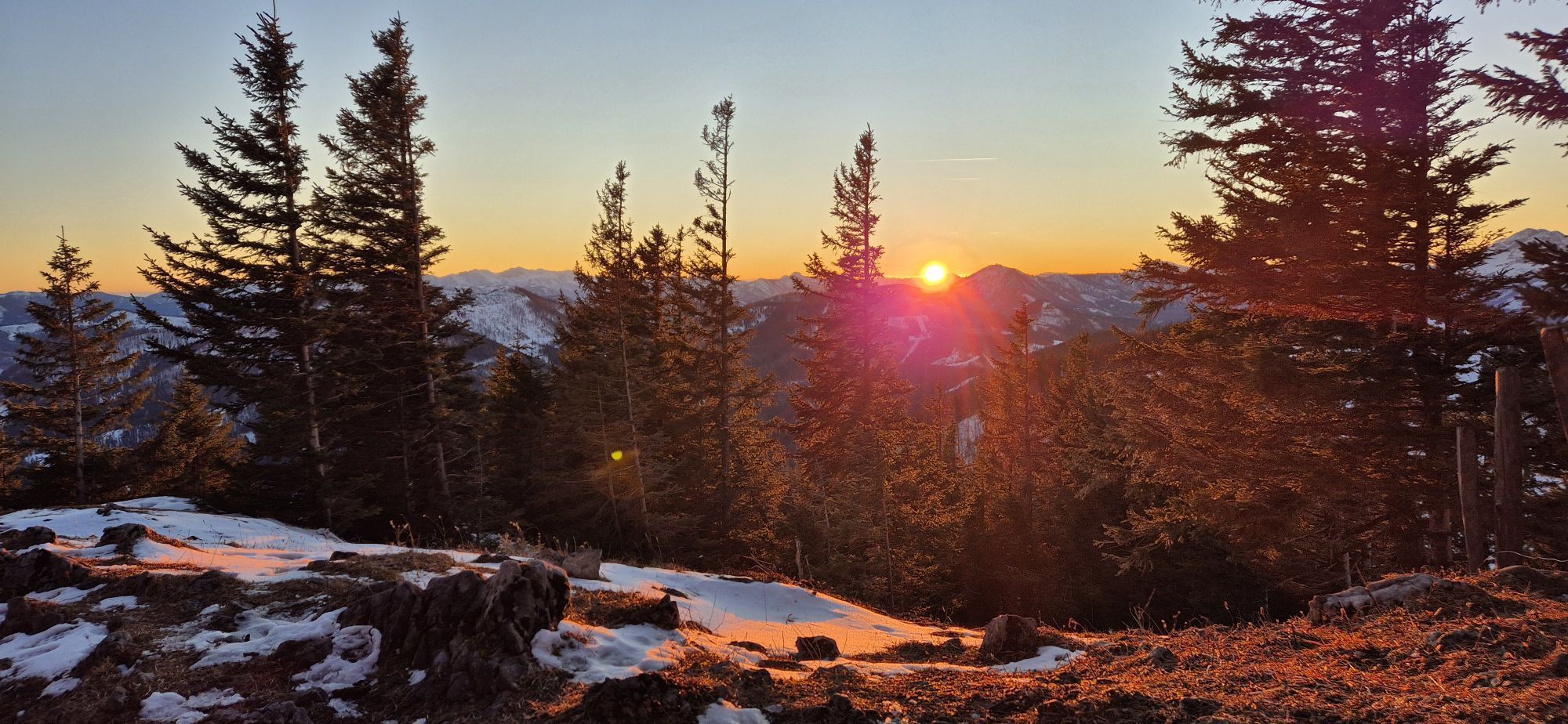
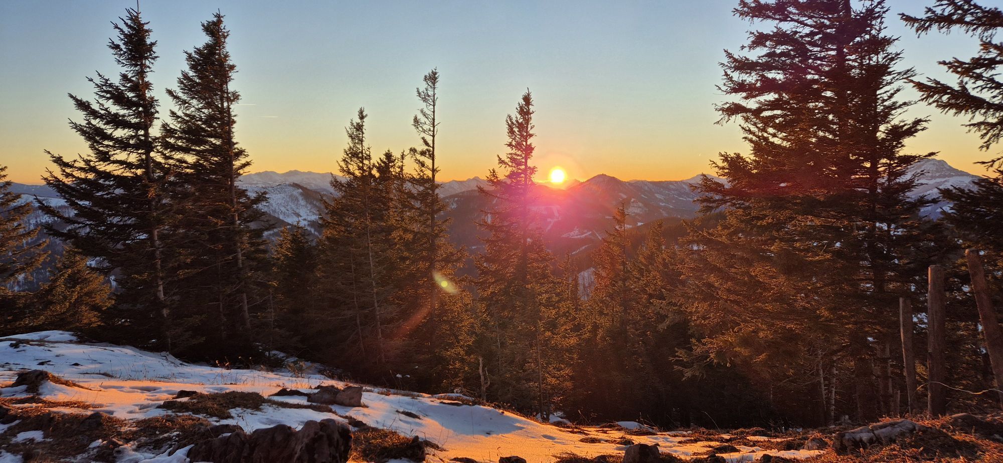
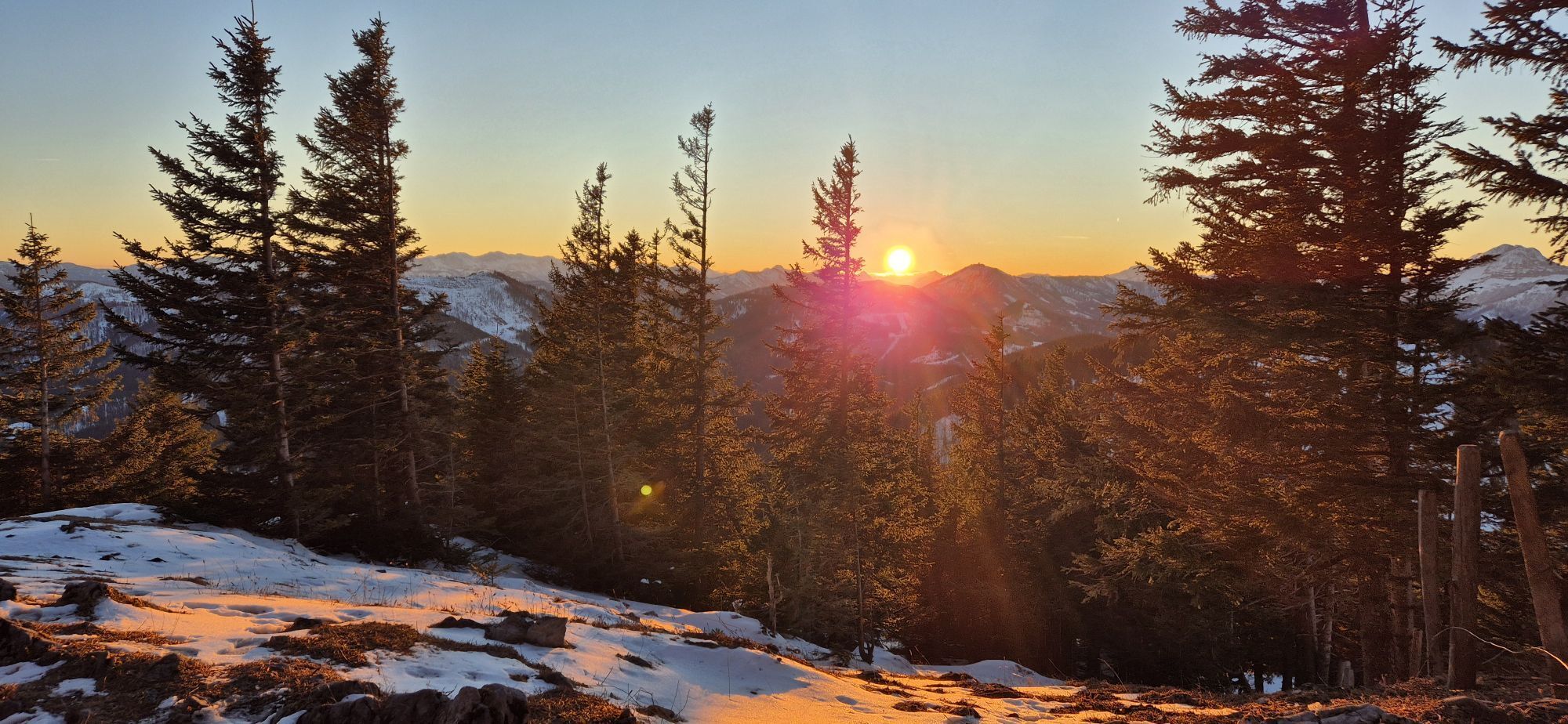
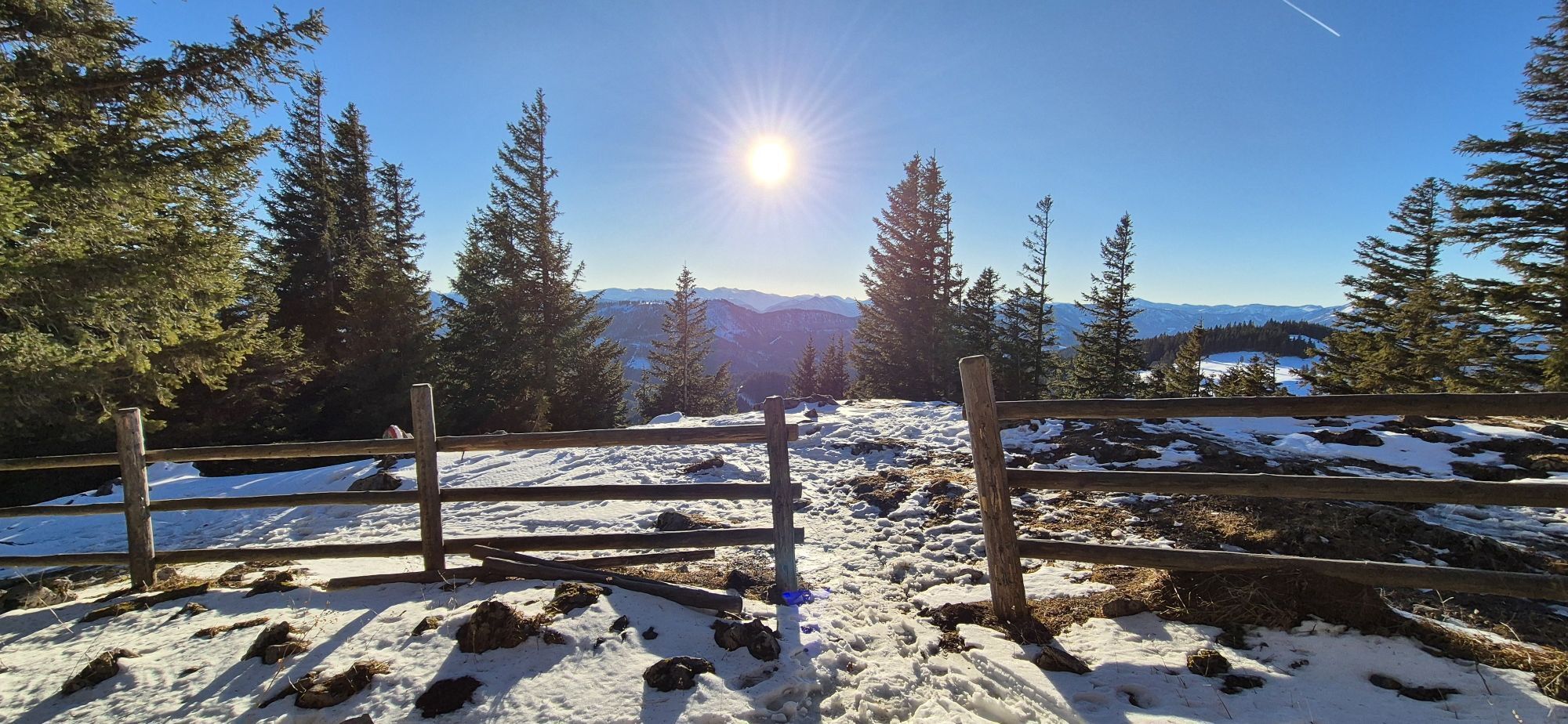
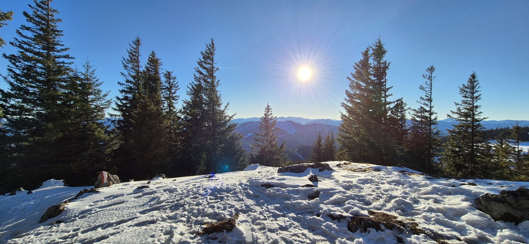
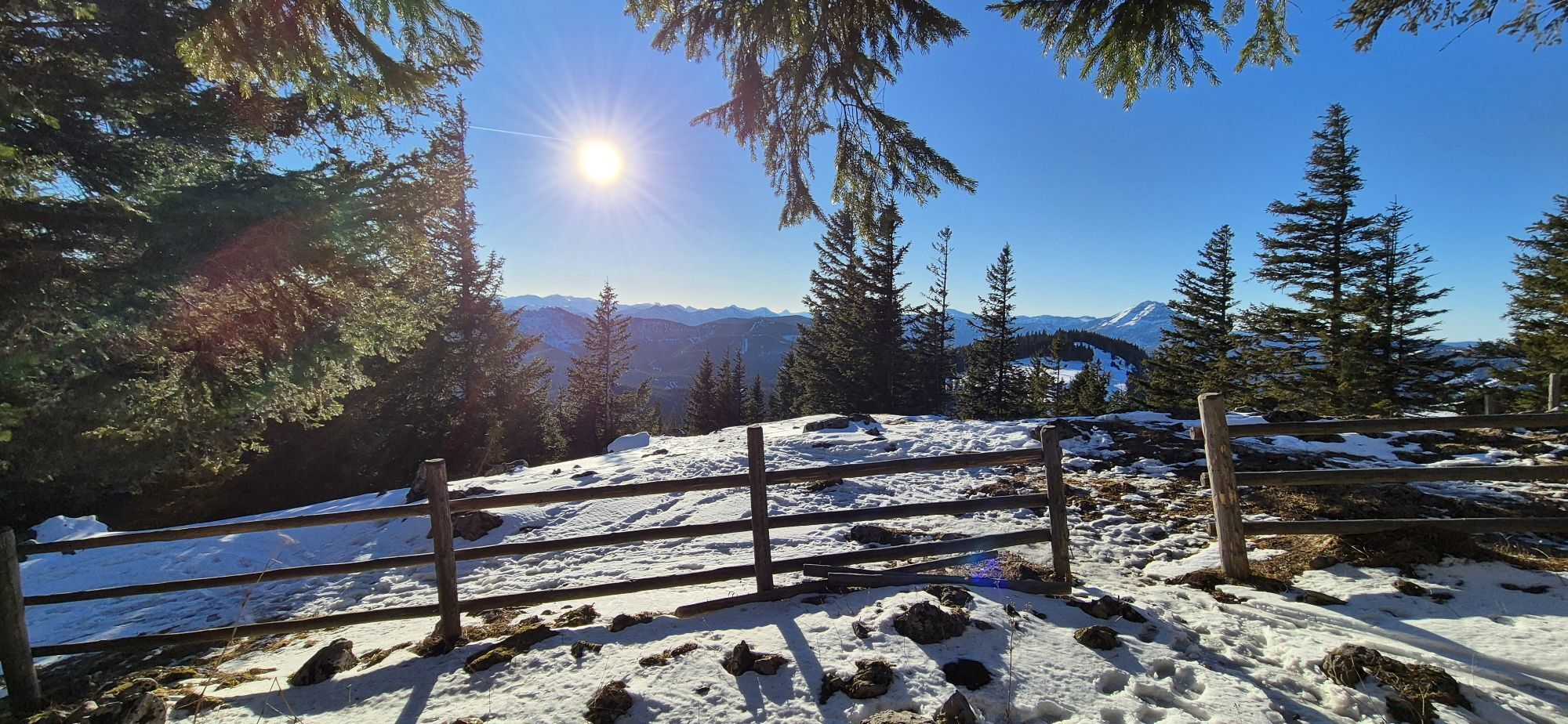
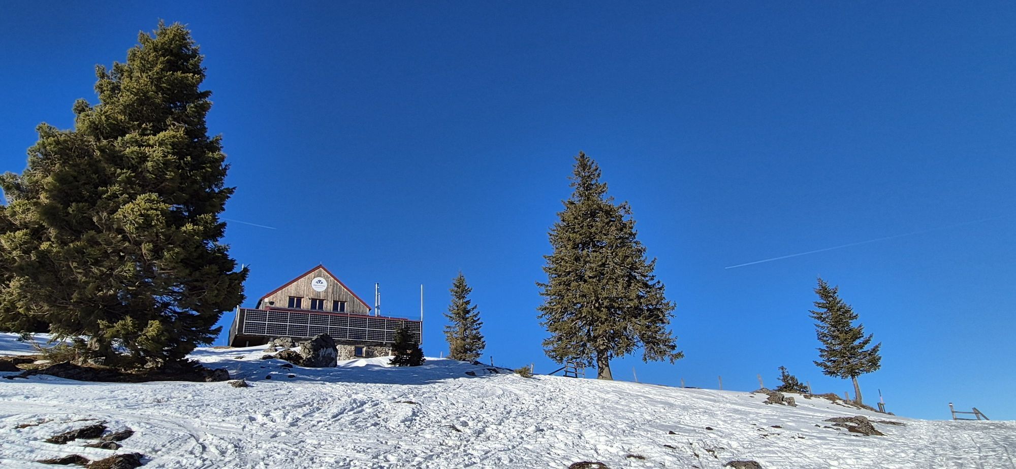
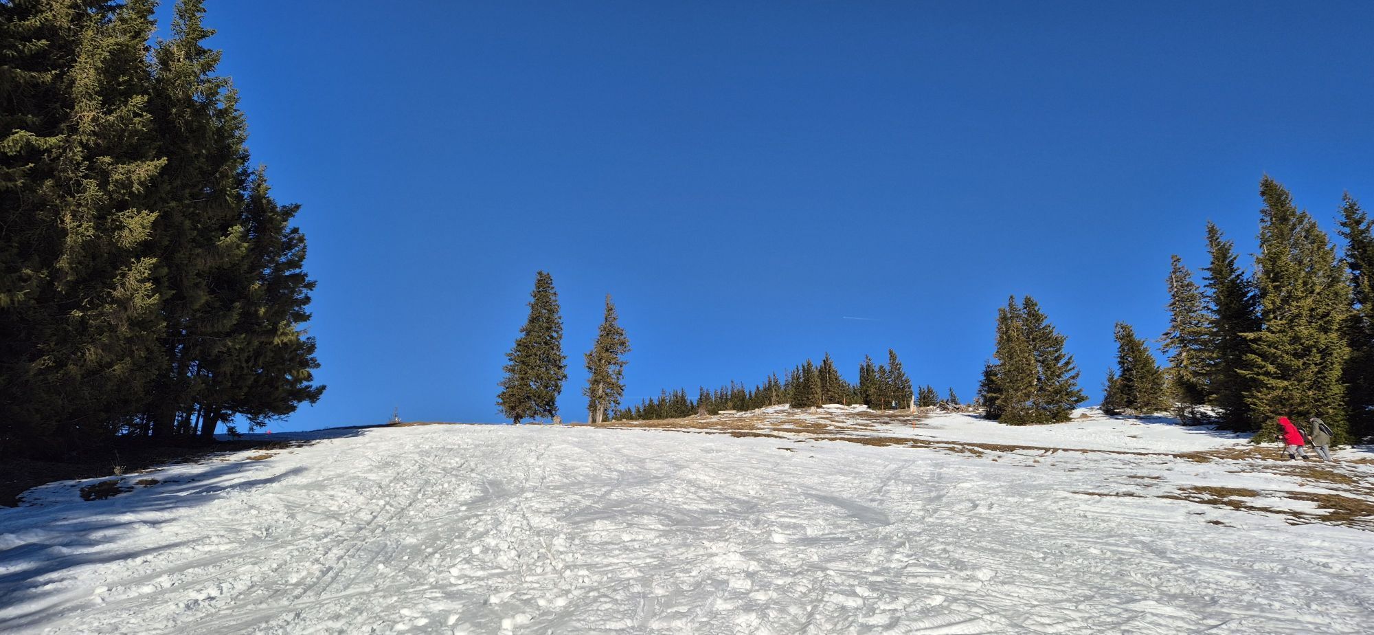
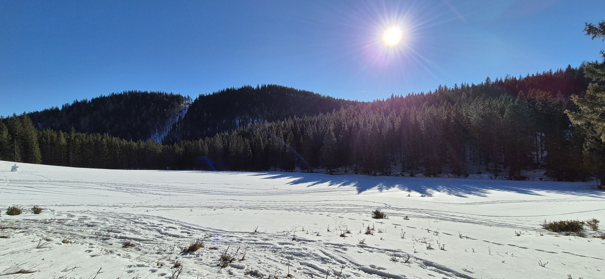
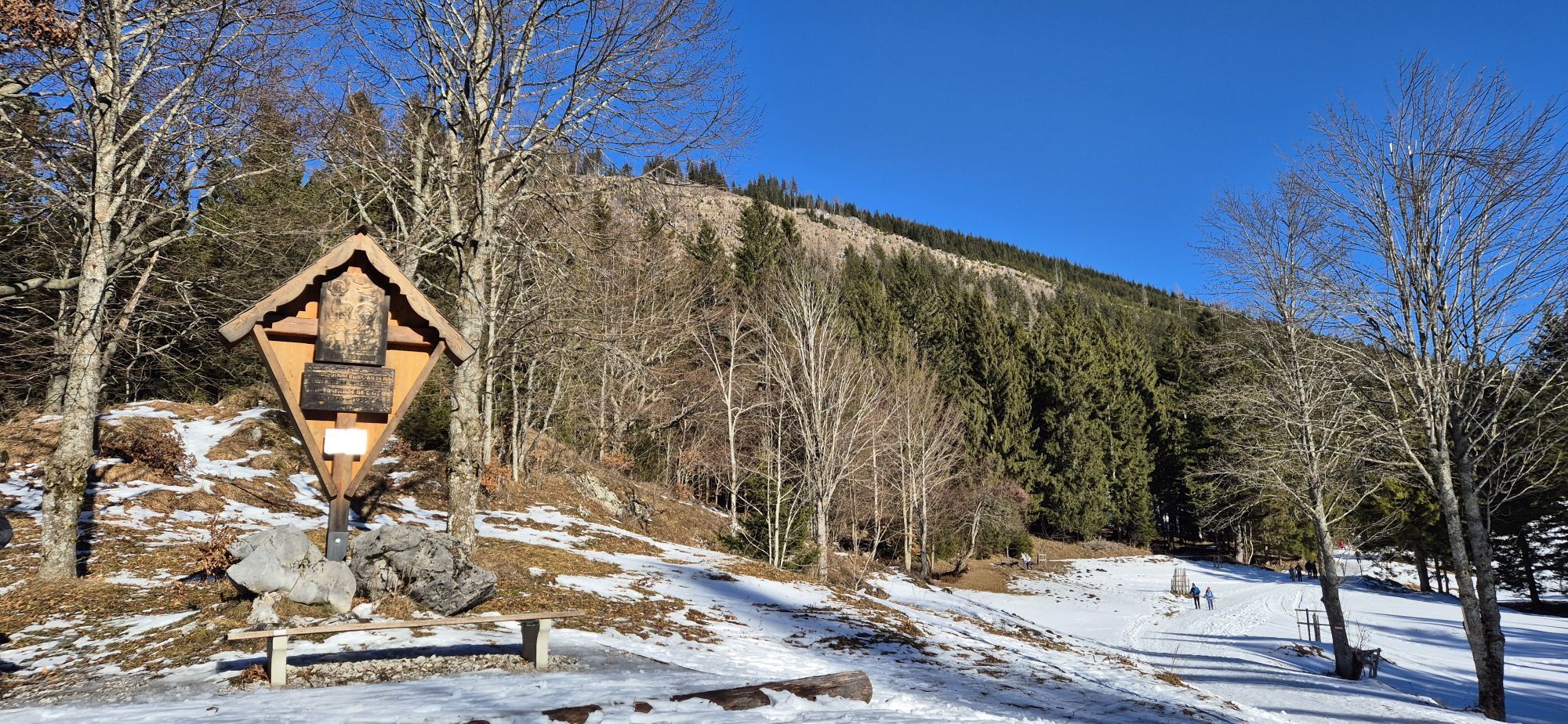
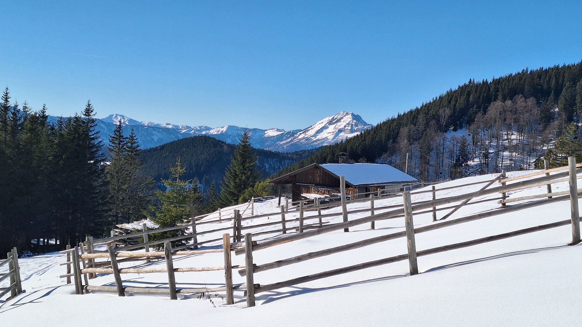
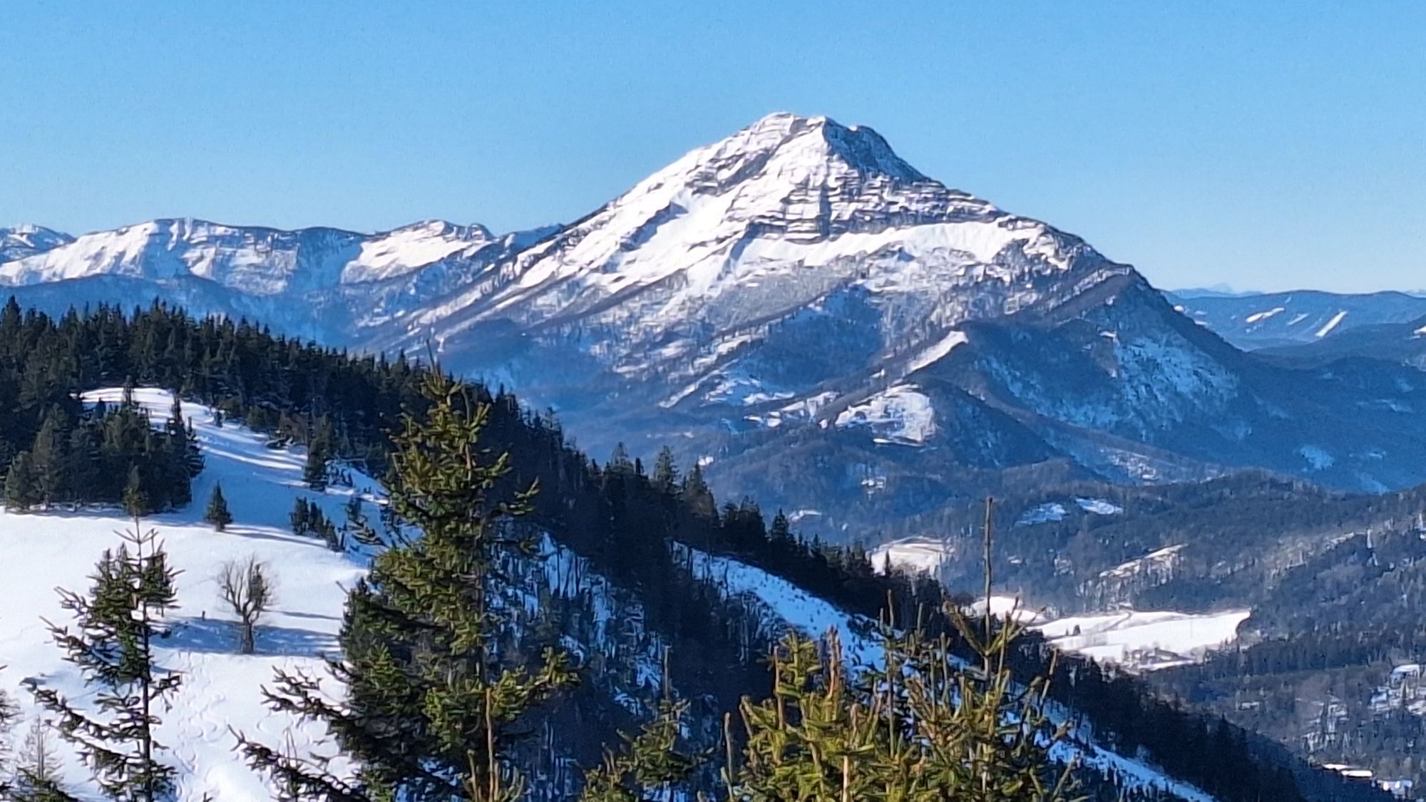
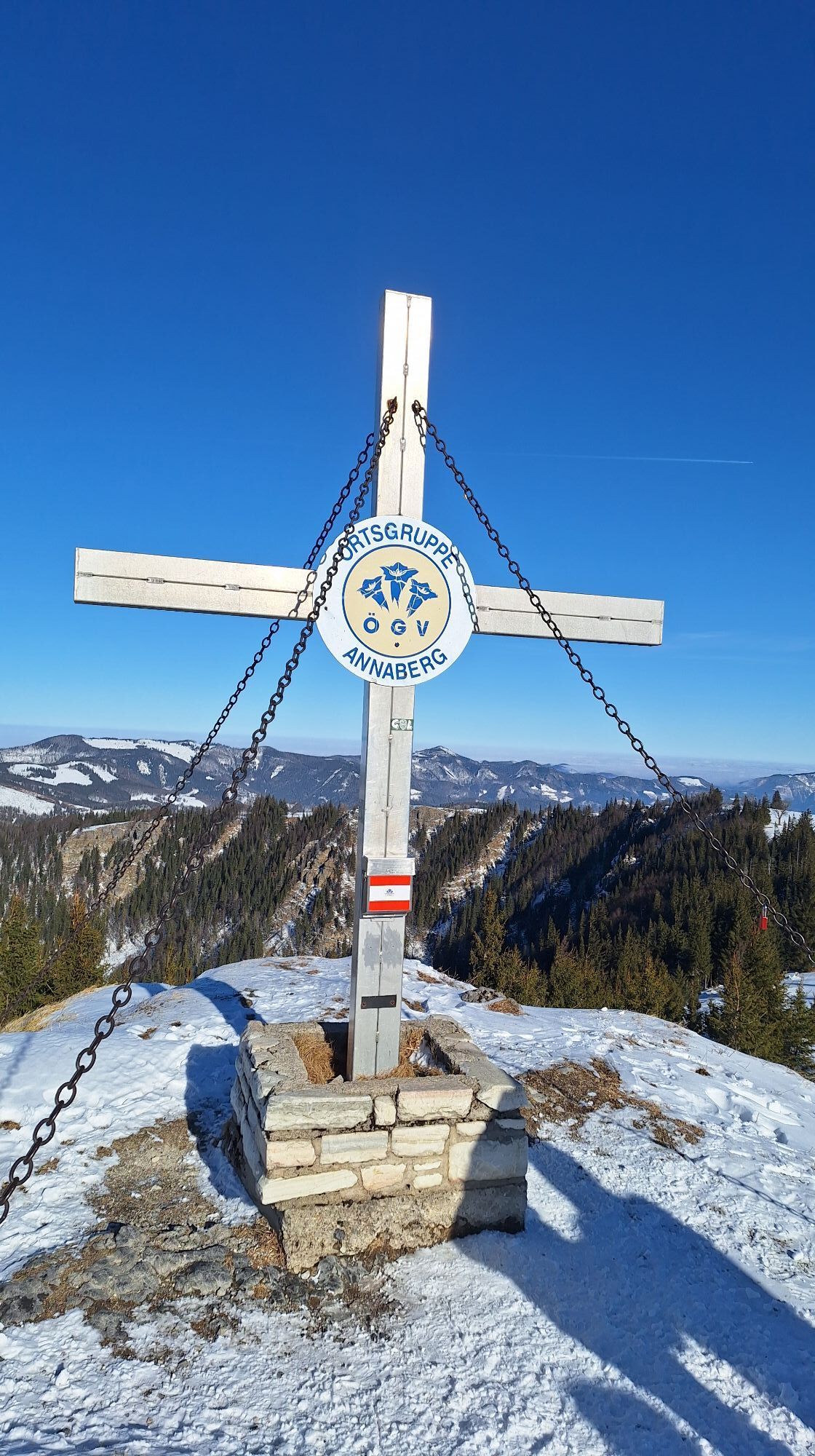
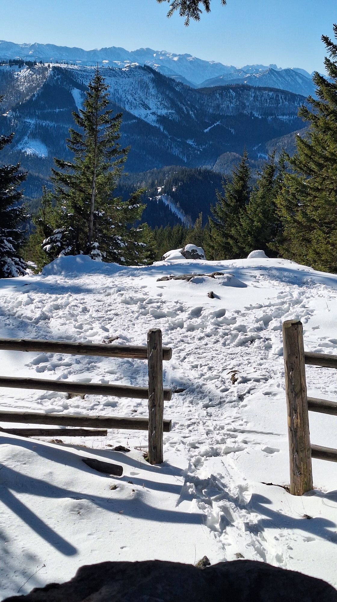
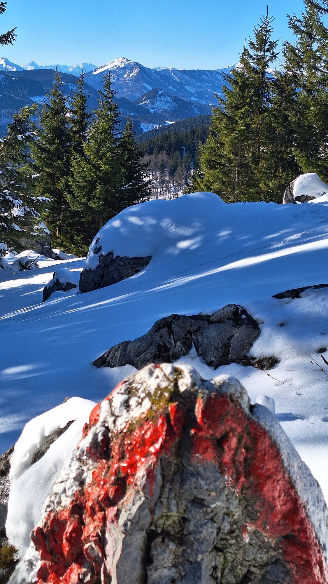
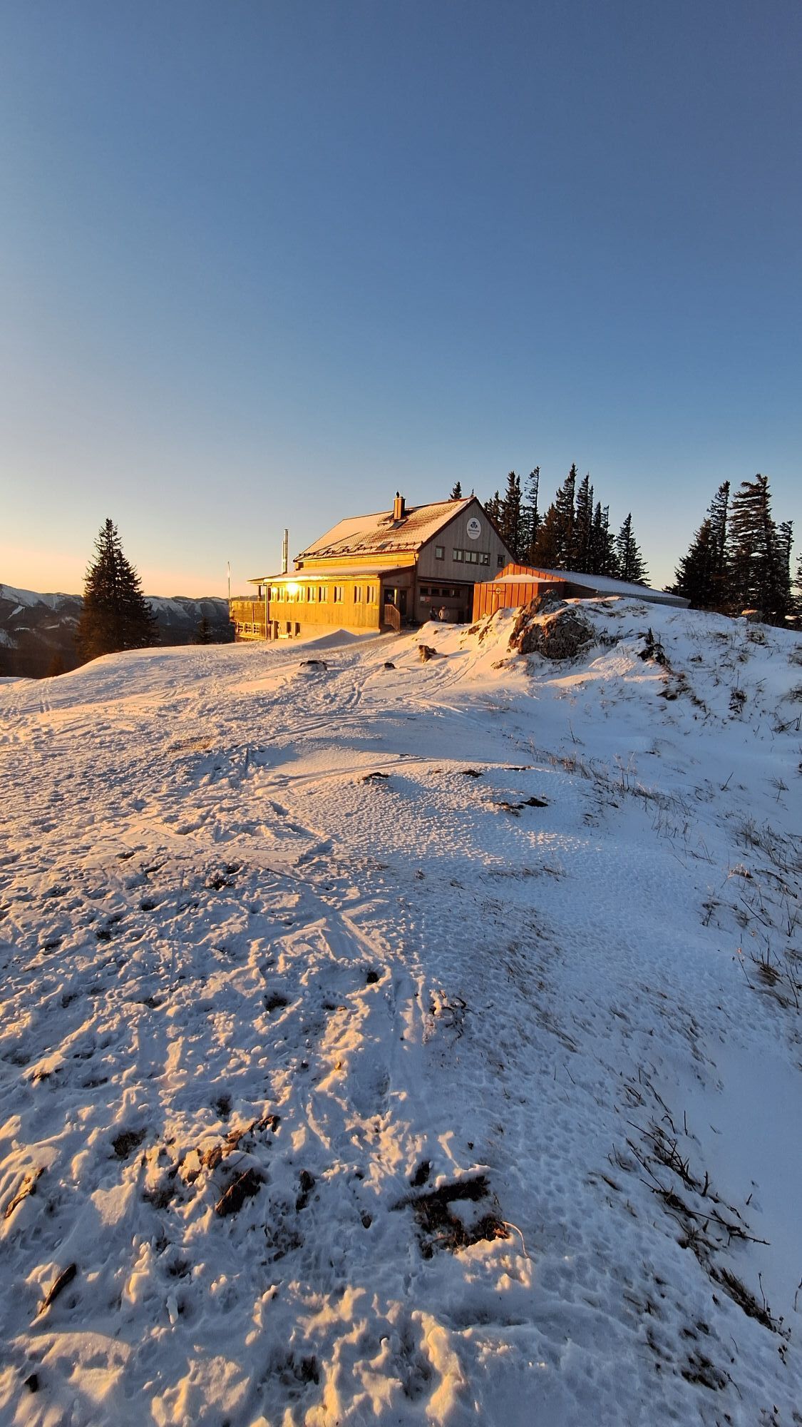
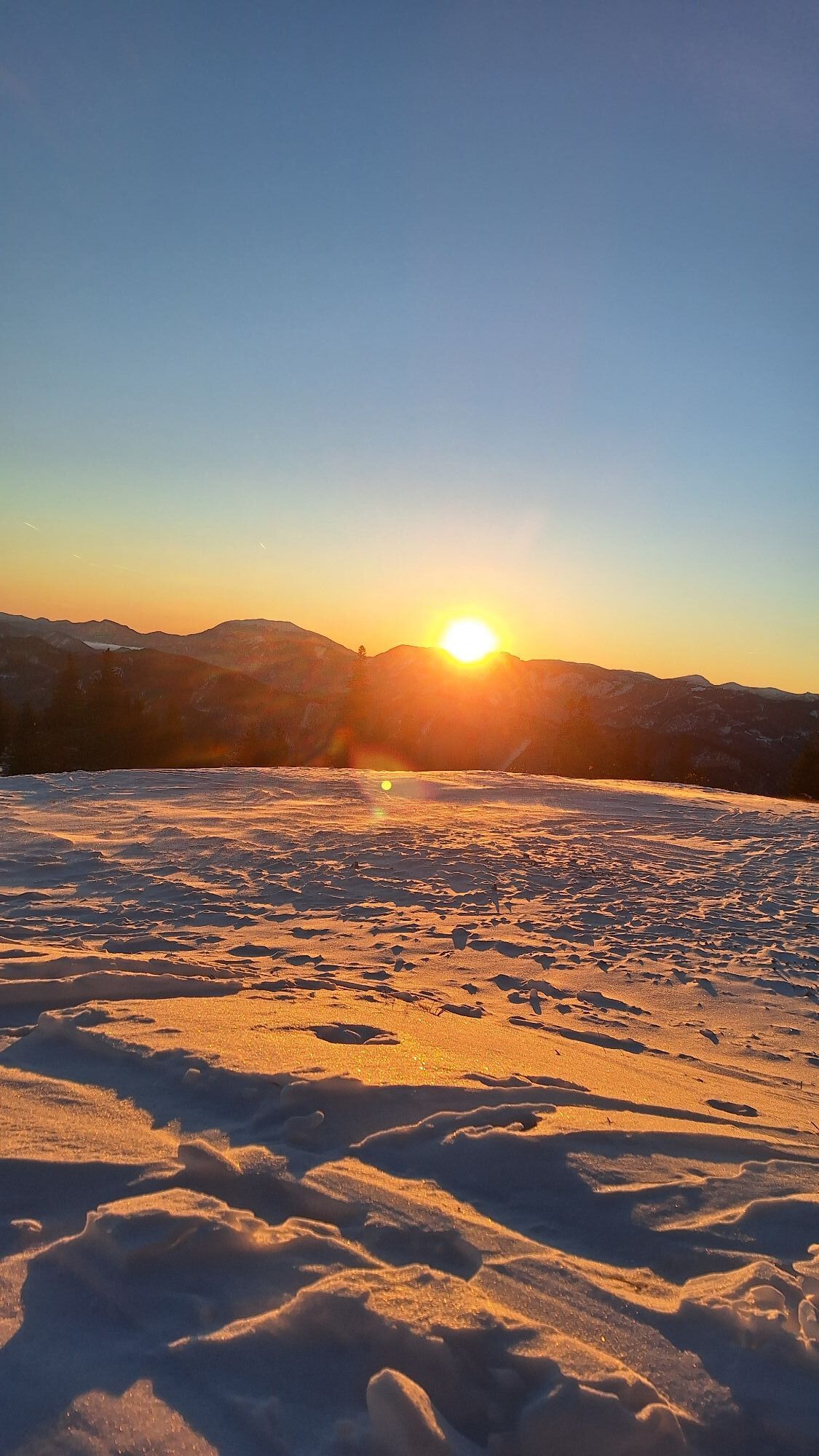
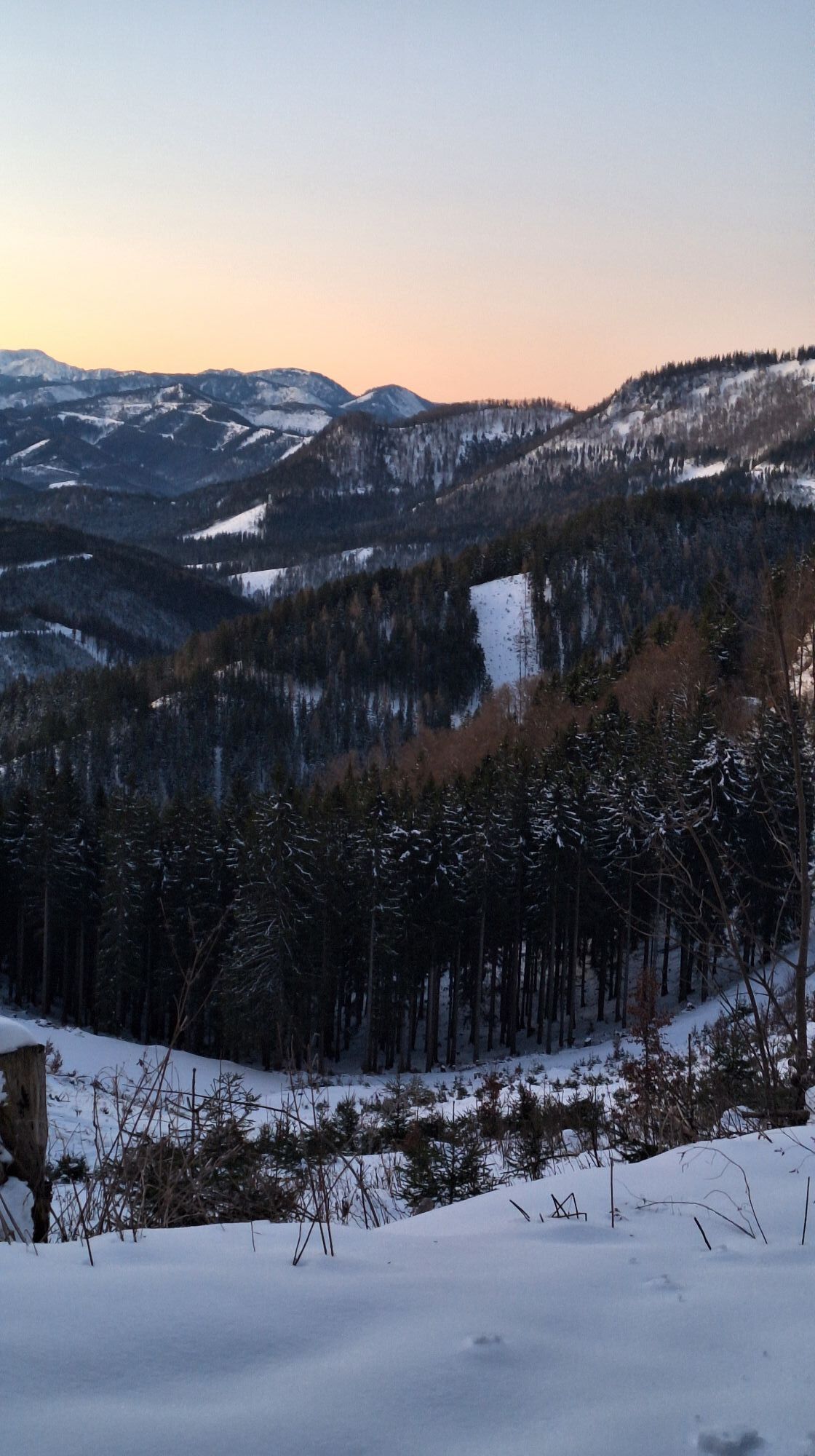
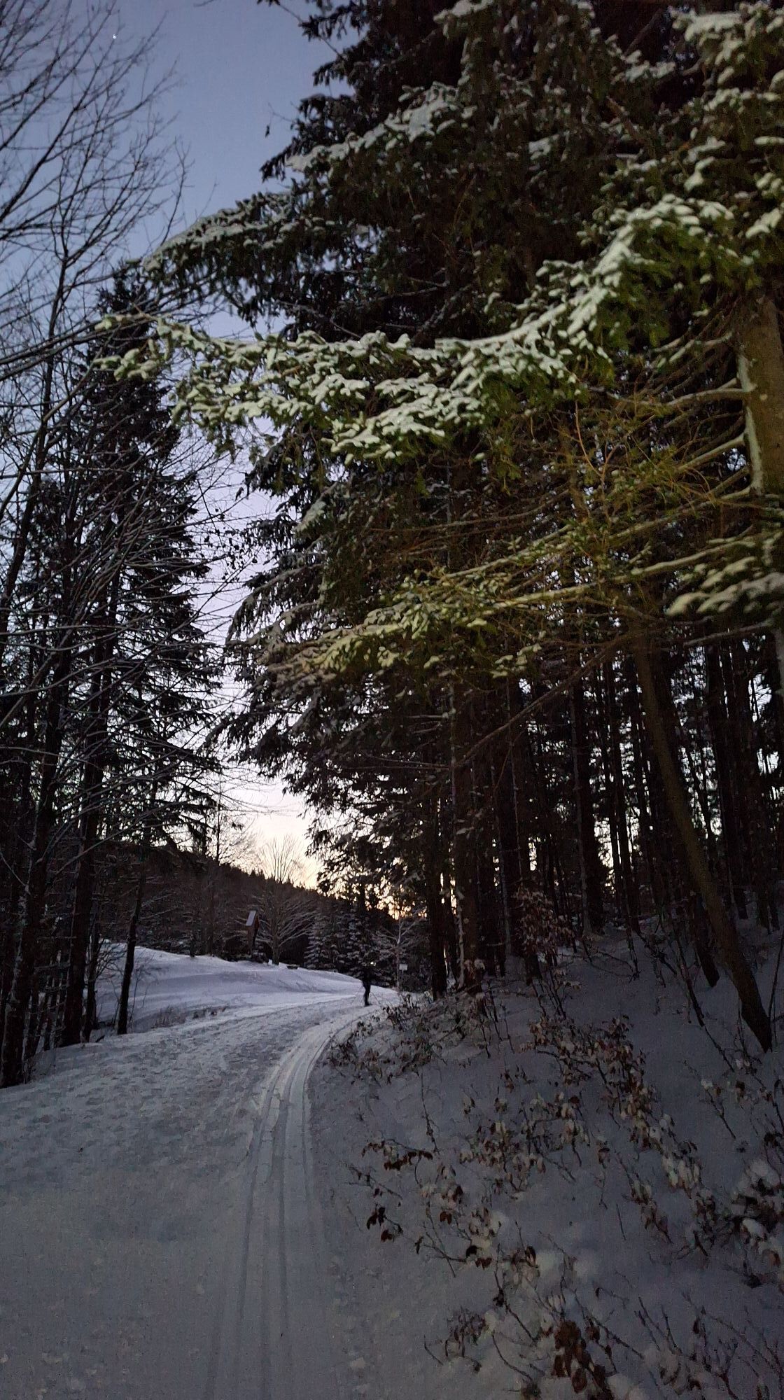
The Annaberg - Tirolerkogel pre-alpine tour is a moderately difficult, varied and very scenic hike that is also ideal for families. From the highest point of the Tirolerkogel (1,377 m), hikers can enjoy...
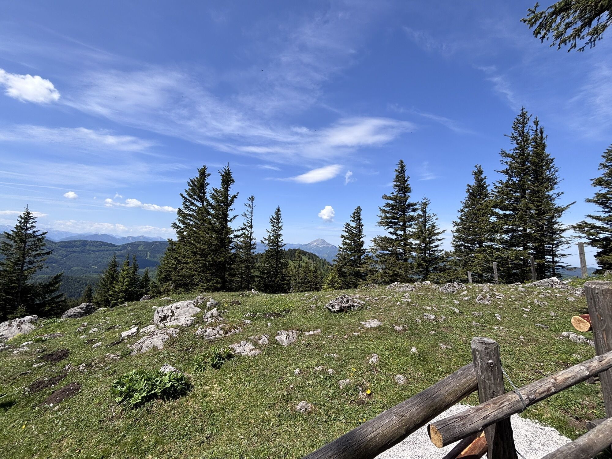
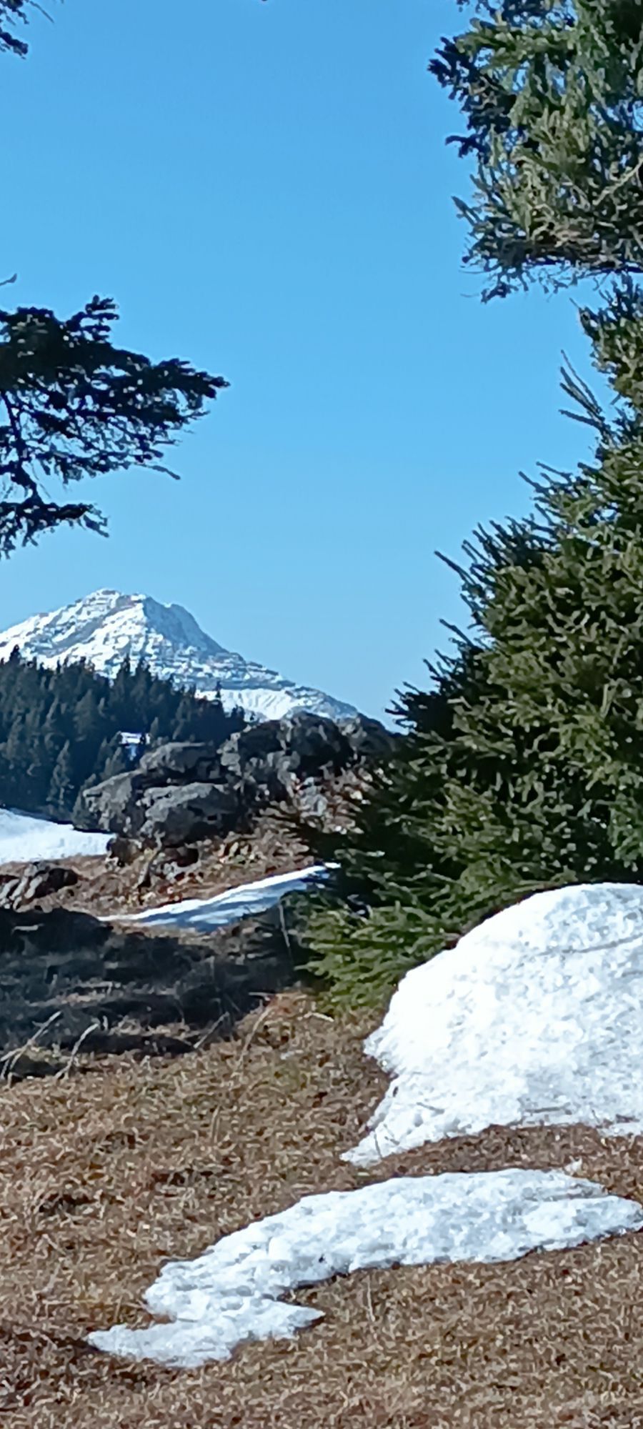
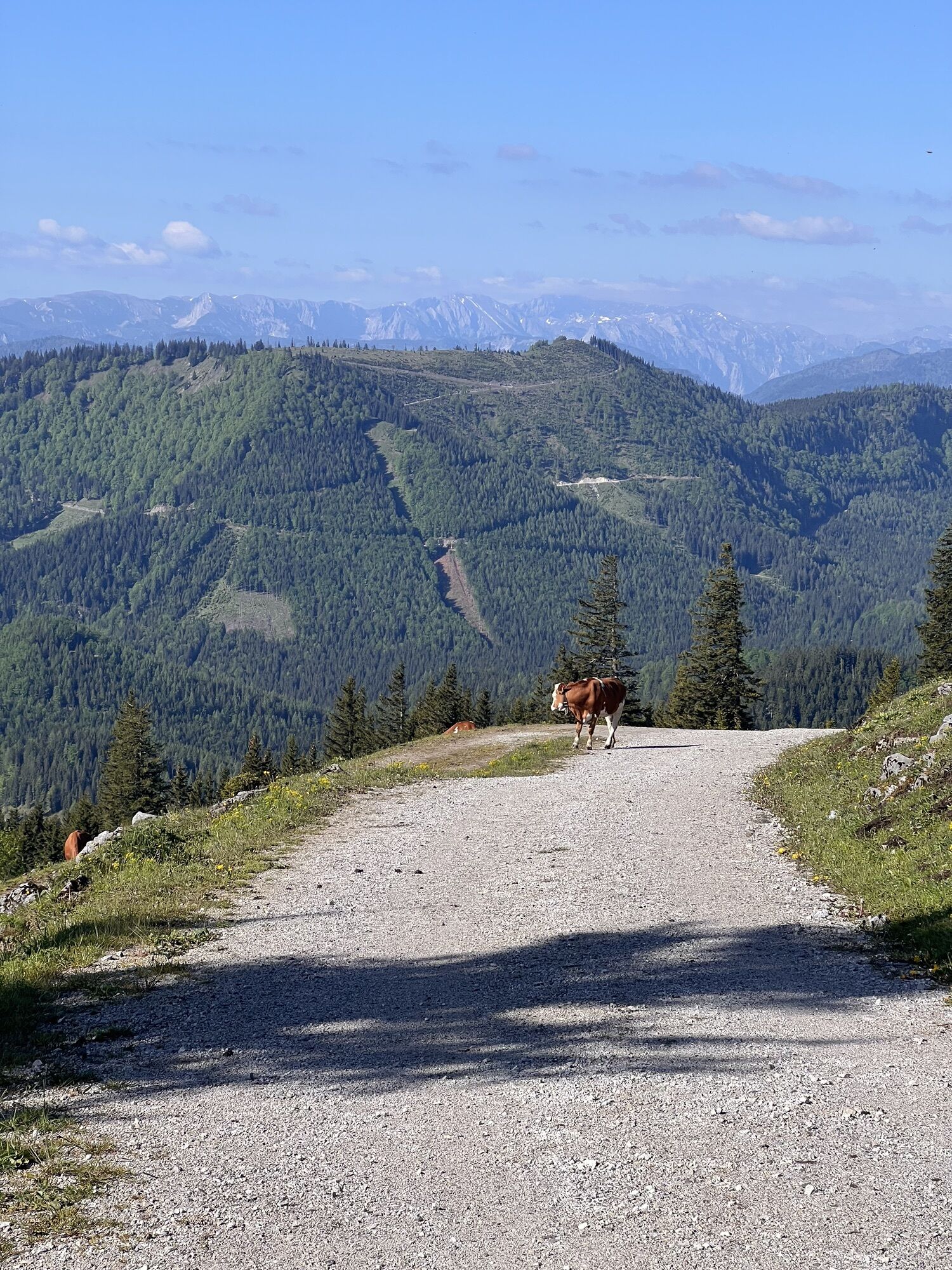
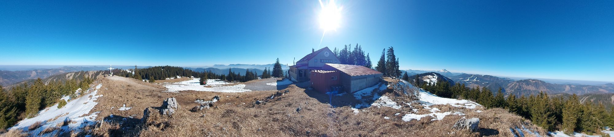
The Annaberg - Tirolerkogel pre-alpine tour is a moderately difficult, varied and very scenic hike that is also ideal for families. From the highest point of the Tirolerkogel (1,377 m), hikers can enjoy a magnificent panoramic view of the Ötscher, Dürrenstein and the Gemeindealpe, Gippel, Göller, Schneeberg and the Hochschwab group. Snowshoe hikers and ski tourers have also discovered the route for themselves.
Families stop off at the Annaberger Haus for a cozy break. The refuge is open all year round, Mon. Tue. day off.

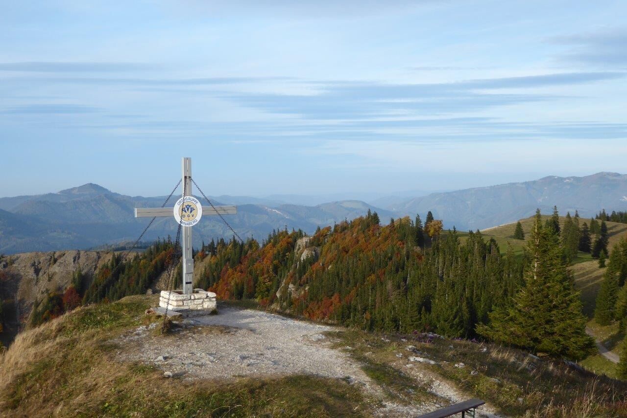
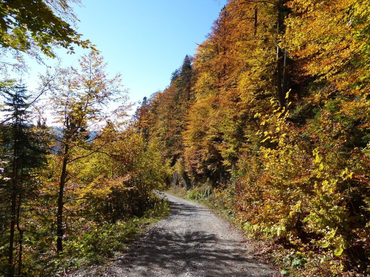
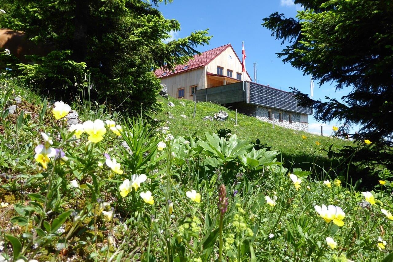
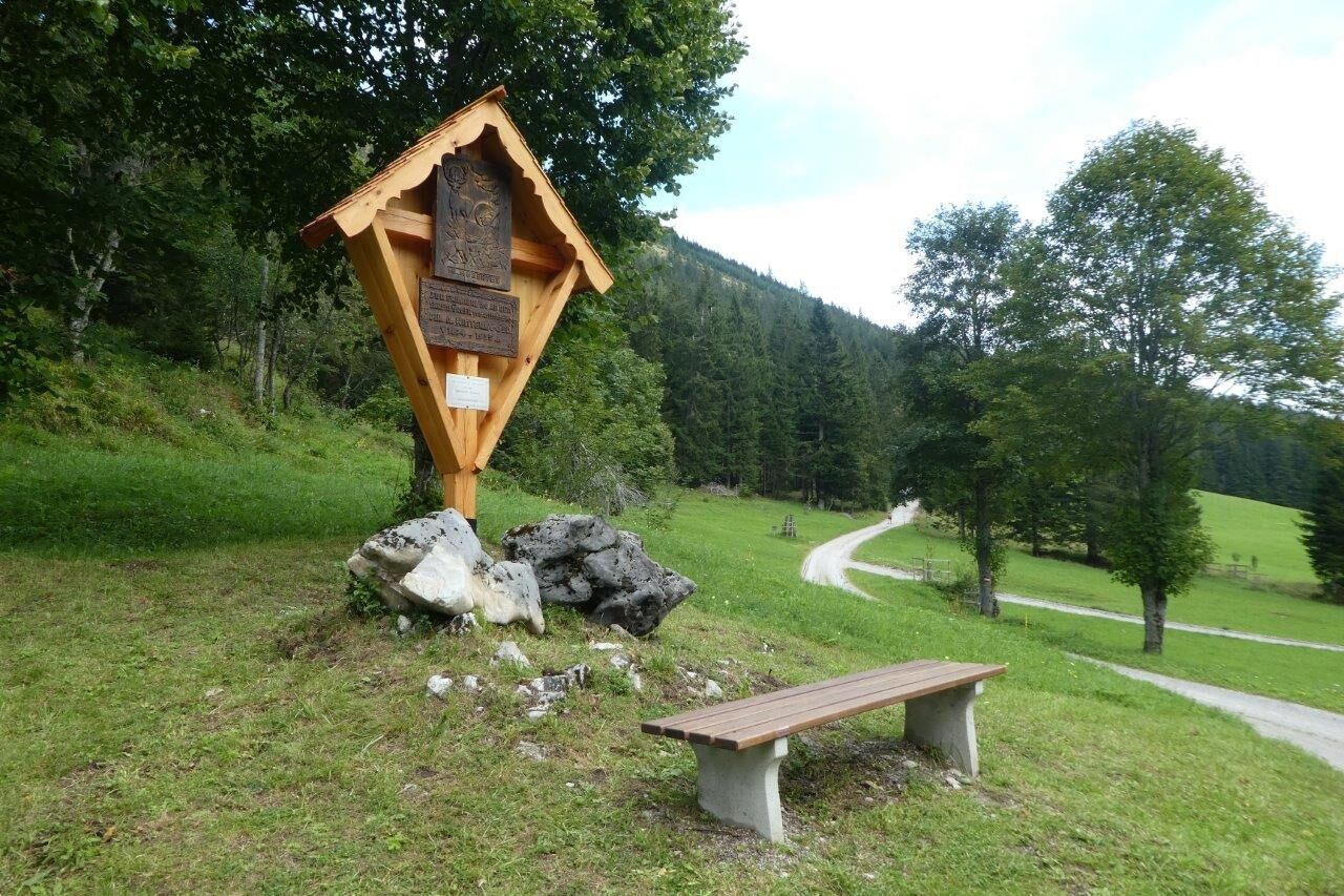
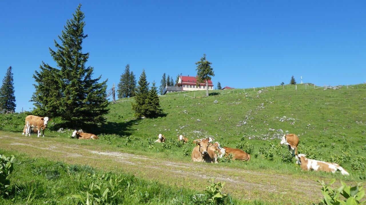
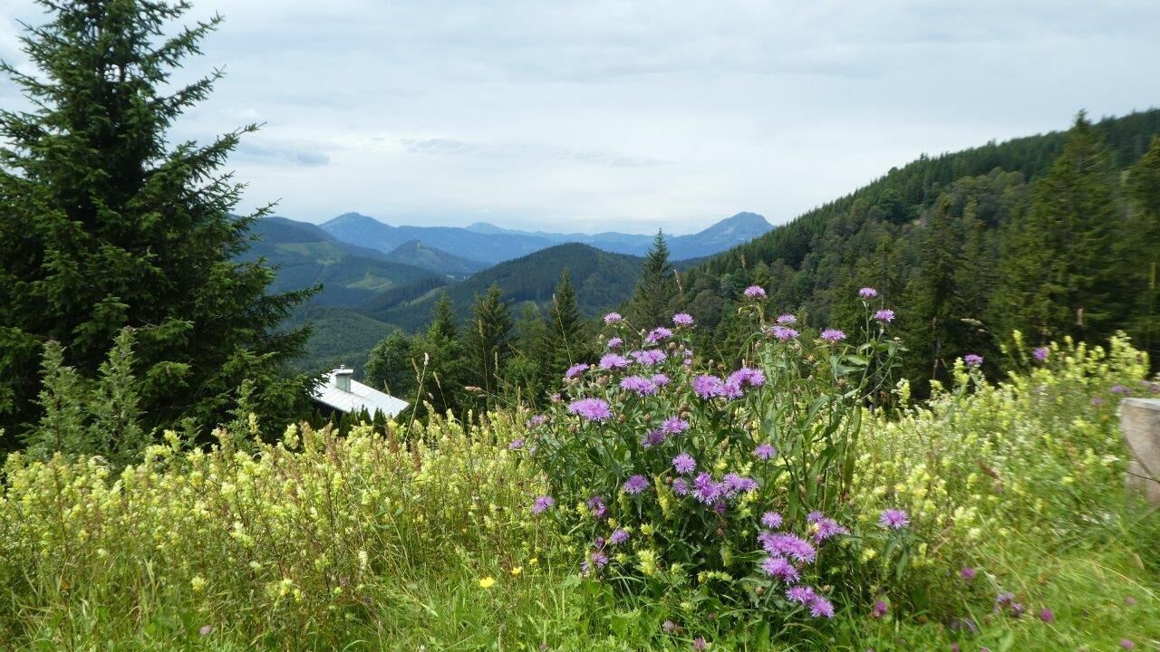
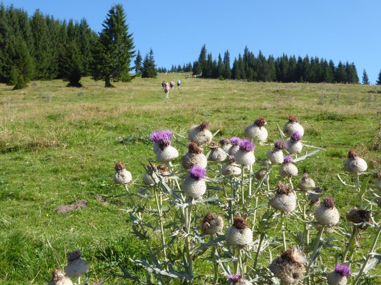
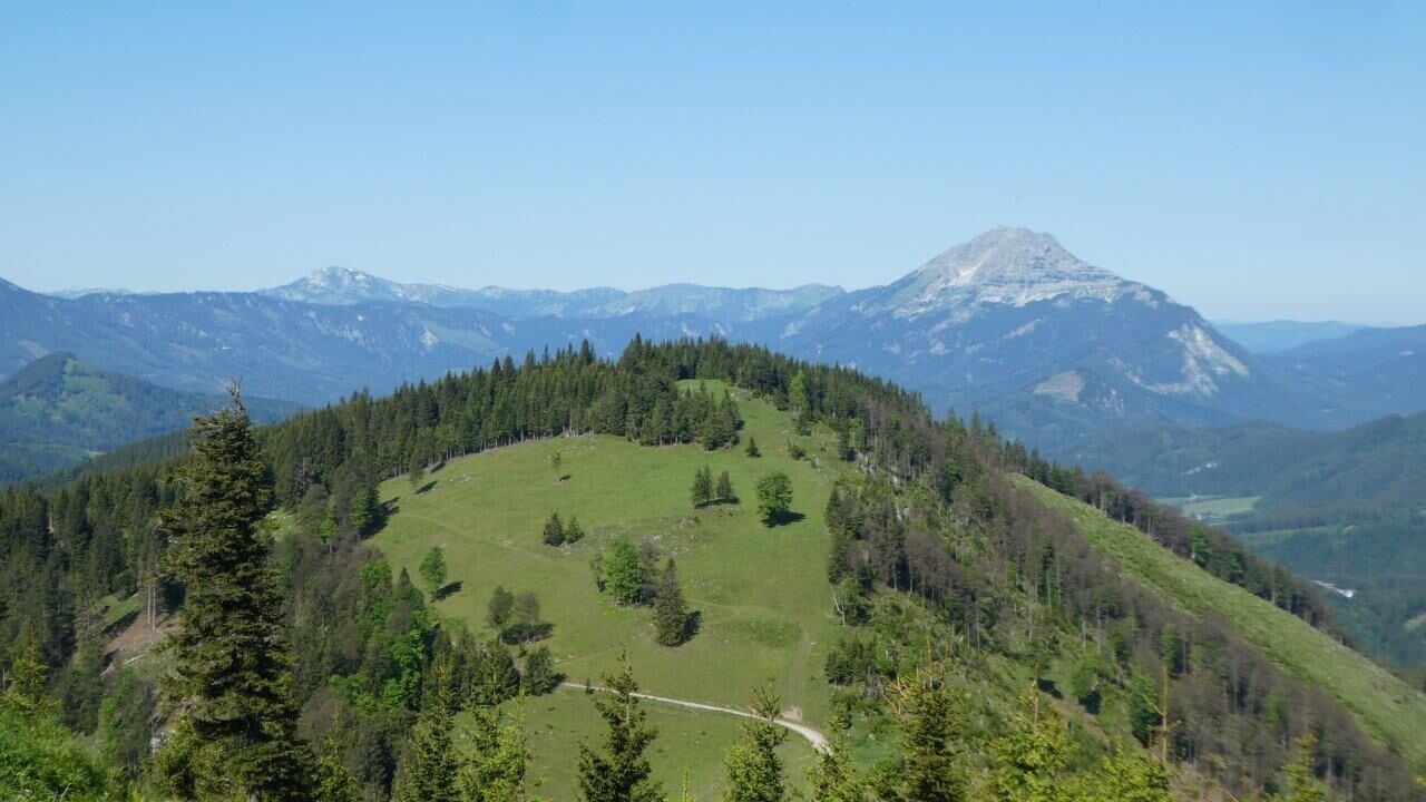
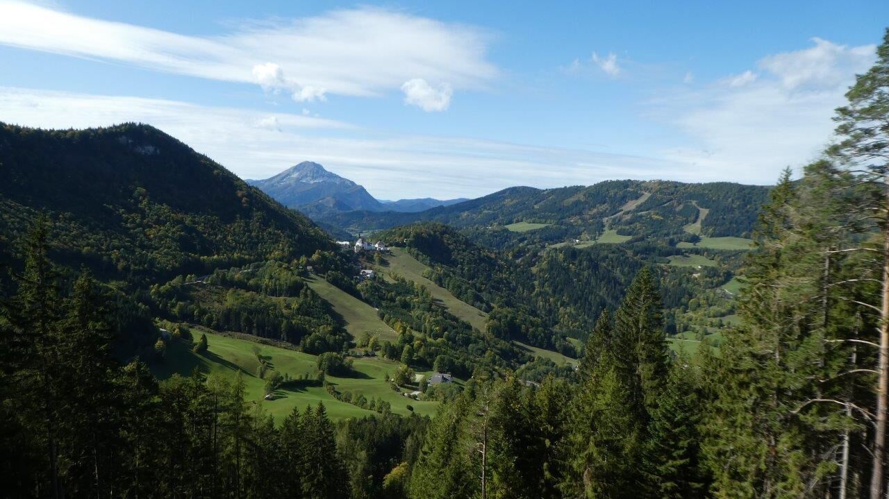
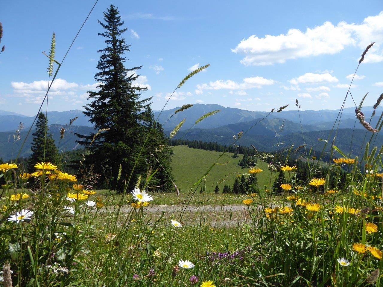

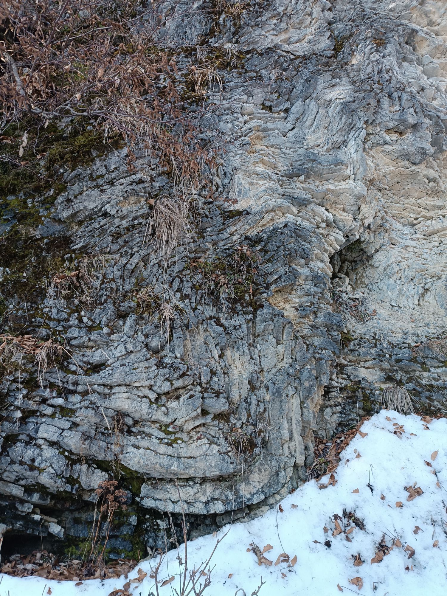
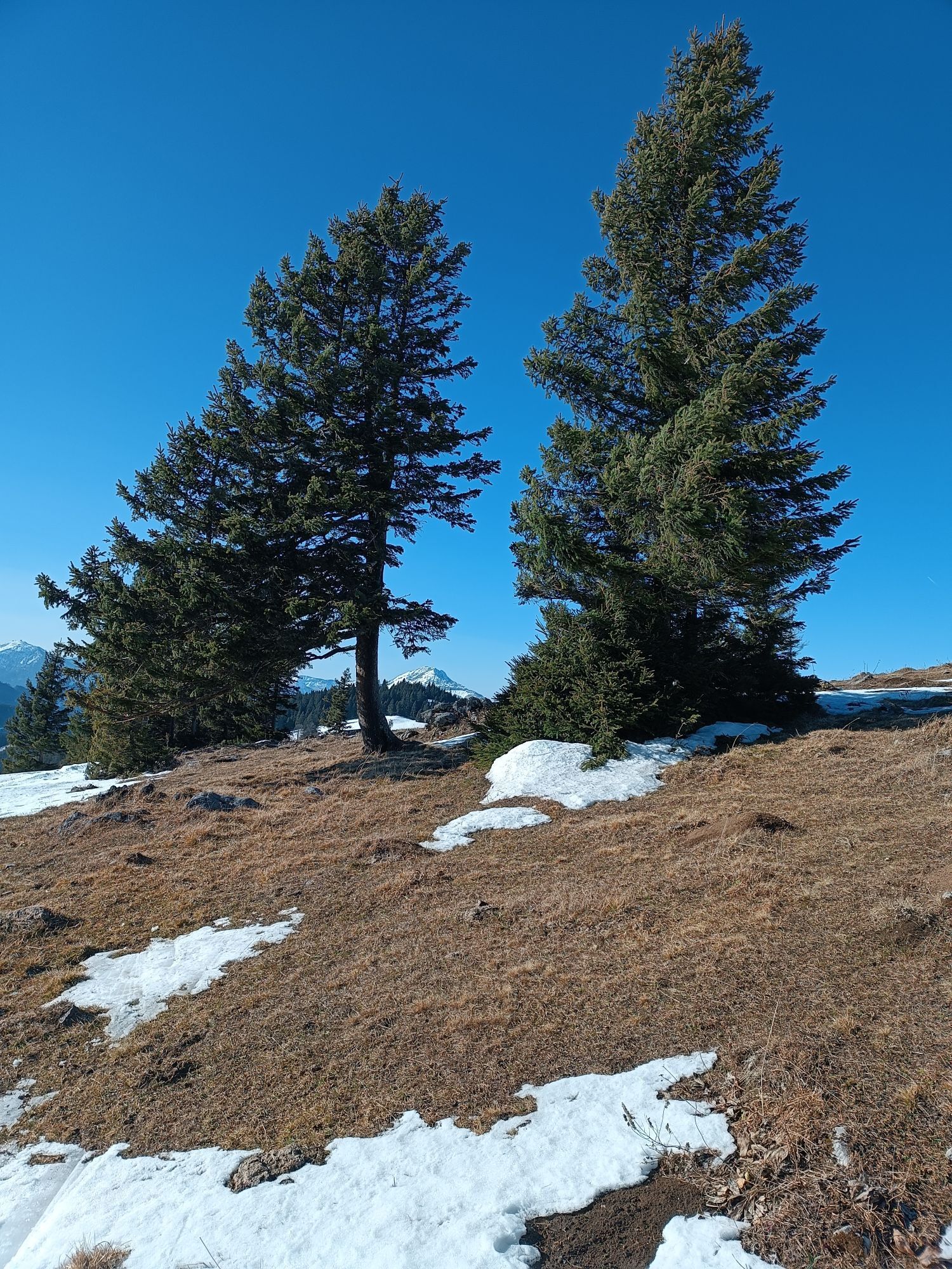
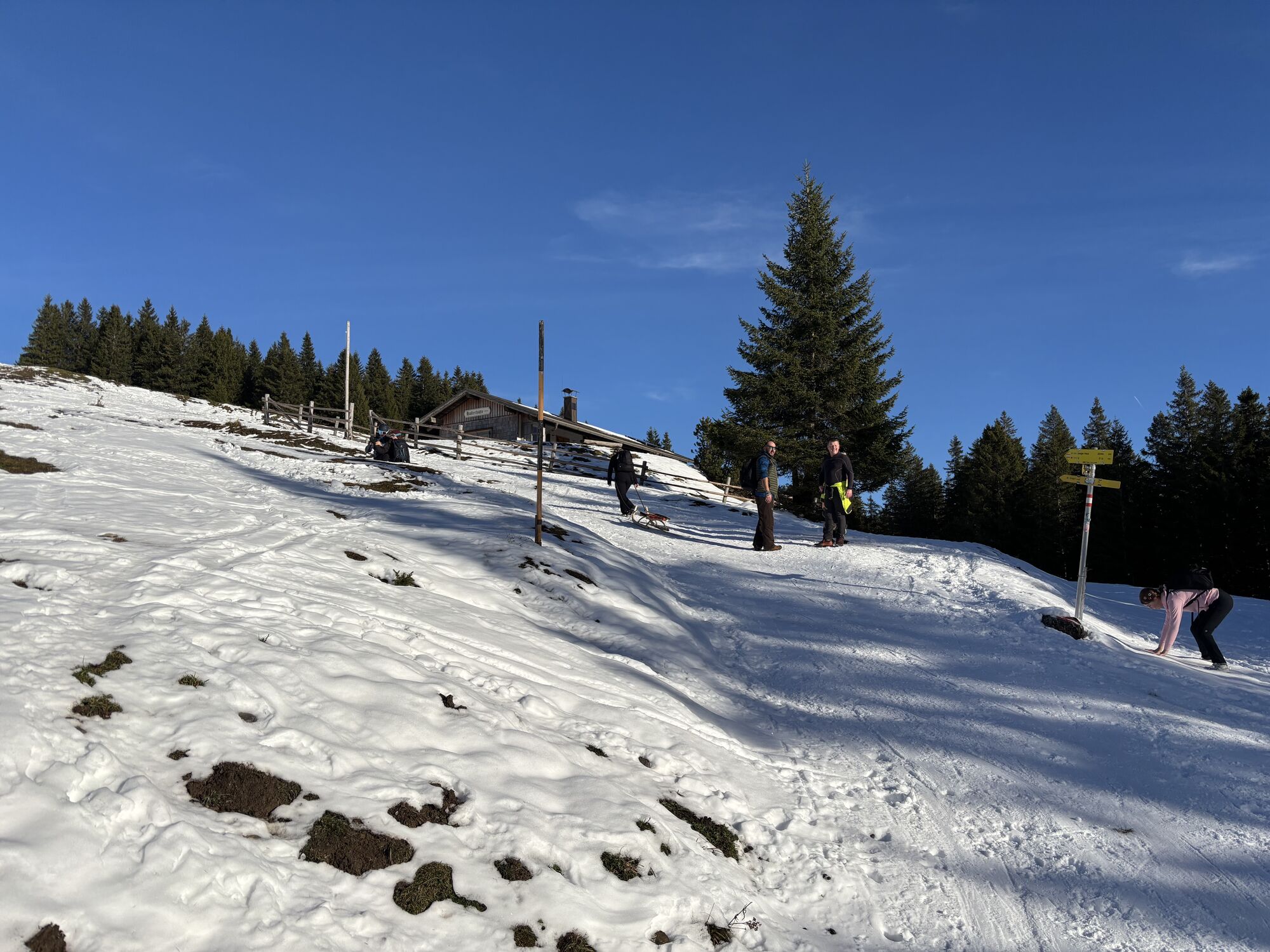
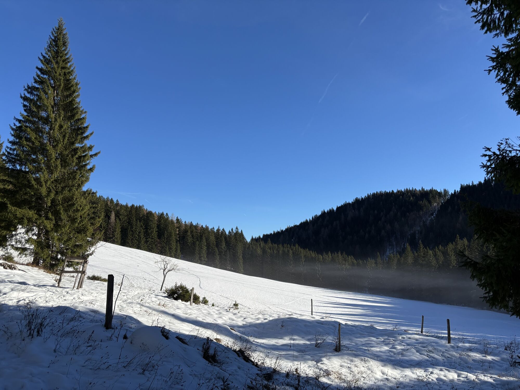
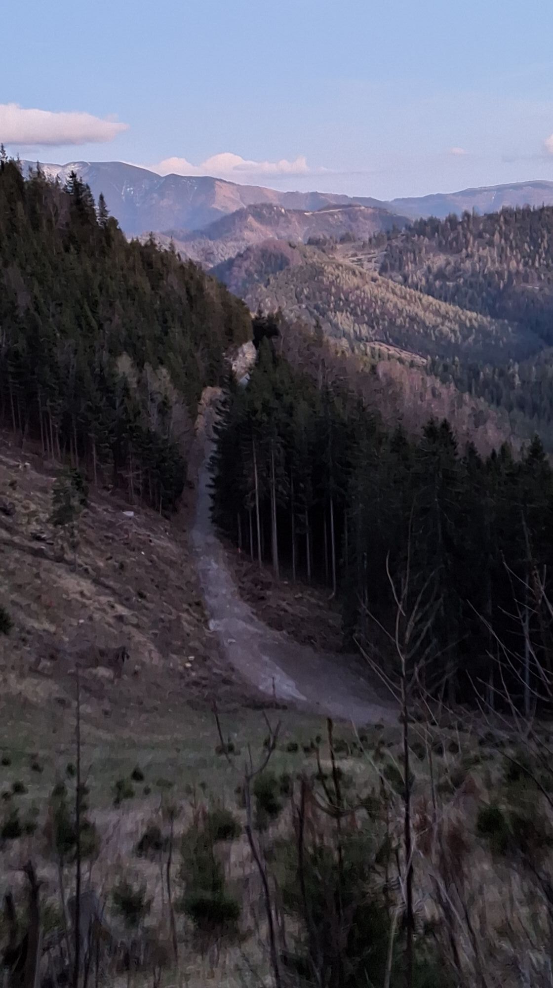
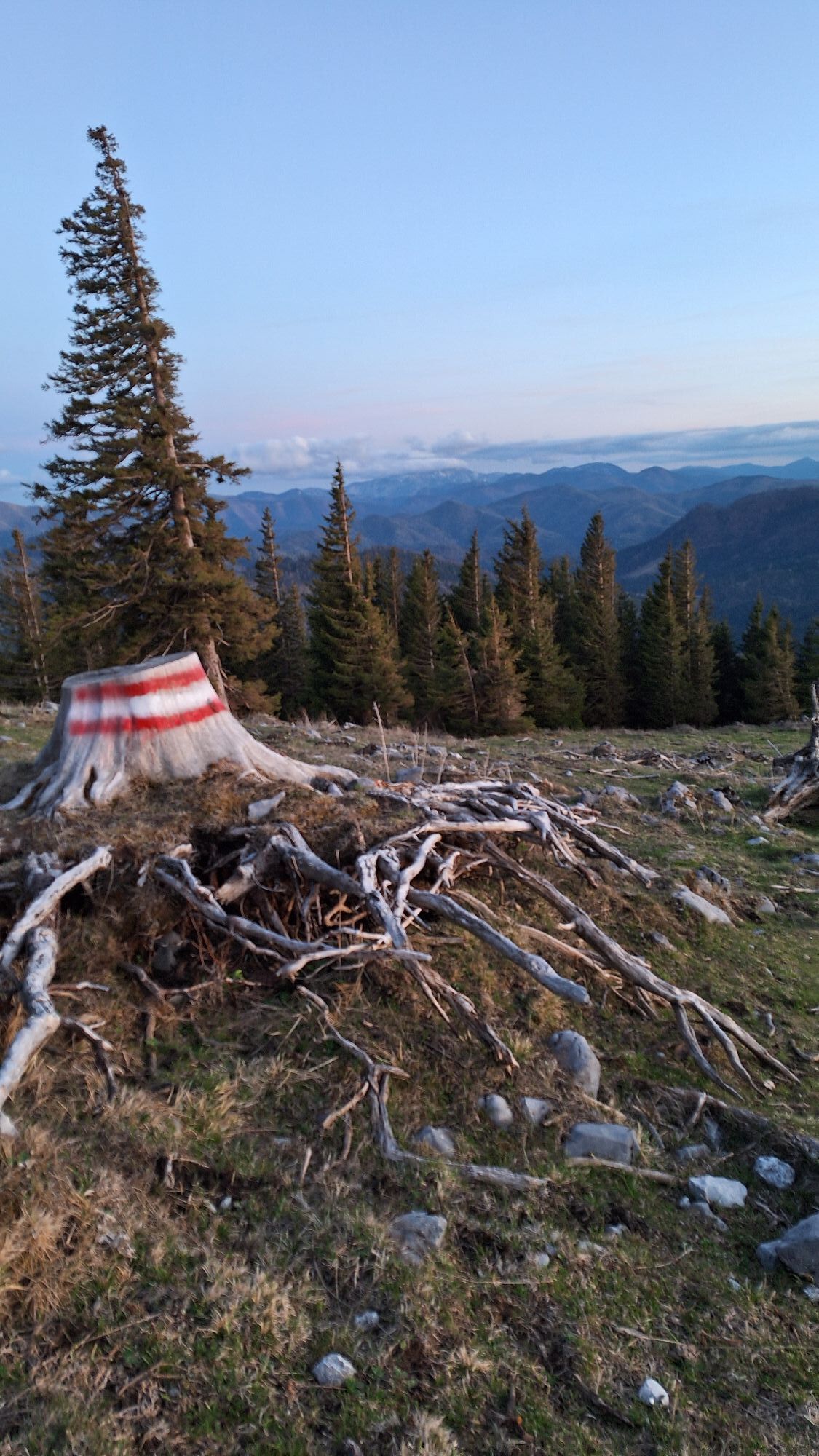
The well-marked route leads directly from the car park next to the B20 before Annaberg via the path "Am Gscheid" to the Tirolerkogel and back again. We start from the Tirolerkogel car park east of Annaberg on a gravel road comfortably up to the "Gscheid". Here, turning left, it soon ascends more steeply to Bergecke and into the "Specktal" (interesting folds in the Gutensteiner limestone on the left side of the path), where we soon reach the Halterhütte. Now cutting across the road bends, straight left over the slope covered with weather trees with an increasingly magnificent view up to the Annaberger Haus. At the end, we of course return along the same route.
Sturdy hiking boots
Via A1, exit 'St.Pölten-Süd' - Mariazeller Bundesstraße B 20 before Annaberg
Postbus line number 169 Vienna – Mariazell, Mariazell - Vienna
Tirolerkogel car park before Annaberg next to the B 20
Person responsible for the content of this tour
Mostviertel
Last update: 21.10.2025
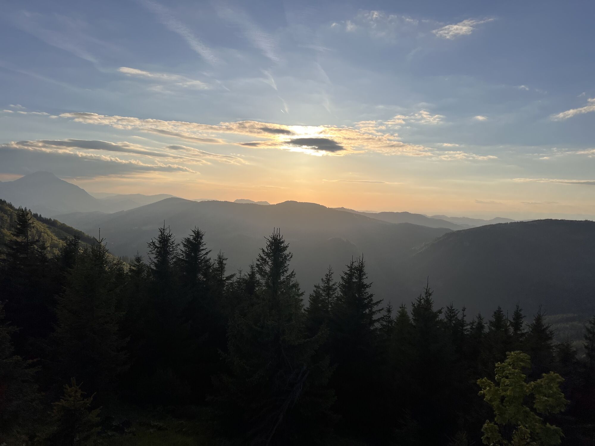
The local mountain of Annaberg, named after Tyrolean lumberjacks, is considered an excellent viewpoint. Especially in autumn, there is often an impressive long-distance view.
The lush alpine flora is also worth seeing. Richly blooming gentian, various alpine flowers, and a large population of sycamore maples give the landscape its special charm.
Webové kamery z prehliadky

Aktivity počas prehliadky
-

Annaberg, Niederösterreich/Österreich
15.10.2026 – Turistika -

Annaberg, Niederösterreich/Österreich
10.10.2026 – Turistika -

Annaberg, Niederösterreich/Österreich
30.09.2026 – Turistika -

Annaberg, Niederösterreich/Österreich
26.09.2026 – Lyžovanie -

Annaberg, Niederösterreich/Österreich
19.09.2026 – Turistika -
Tirolerkogel mit Verena und Leni.
12.09.2026 – Turistika -

Annaberg, Niederösterreich/Österreich
24.08.2026 – Turistika -
Annaberg, Lower Austria/Austria
15.08.2026 – Turistika -

Annaberg, Niederösterreich/Österreich
09.07.2026 – Nordic Walking -
Annaberg, Niederösterreich/Österreich
26.04.2026 – Turistika -
Annaberg, Niederösterreich/Österreich
04.04.2026 – Turistika -

Annaberg, Niederösterreich/Österreich
15.03.2026 – Turistika -

Annaberg, Niederösterreich/Österreich
14.03.2026 – Turistika -

Annaberg, Niederösterreich/Österreich
28.02.2026 – Turistika -

Annaberg, Niederösterreich/Österreich
22.02.2026 – Via ferrata -

Tirolerkogel mit Hadolts
22.02.2026 – Skitour -
Annaberg, Niederösterreich/Österreich
14.02.2026 – Turistika -

Annaberg, Niederösterreich/Österreich
12.02.2026 – Turistika -
Annaberg, Niederösterreich/Österreich
10.02.2026 – Turistika -

Annaberg, Niederösterreich/Österreich
20.01.2026 – Turistika
Obľúbené výlety v okolí
-
4,7
Gemeindealpe
strednáTuristika 13,5 km -
4,9
Lassingfall - Ötscherhias - Erlaufklause
strednáTuristika 8,20 km -
4,8
Naturpark Ötscher-Tormäuer Wienerbruck
svetloTuristika 6,06 km -
4,8
Hohenstein von Sois
strednáTuristika 12,0 km -
4,7
Trefflingfall über Hochbärneckhütte
strednáTuristika 12,2 km -
4,6
Rund um die Mariazeller Bürgeralpe (694 und 692)
strednáTuristika 9,04 km -
4,6
Türnitz - Eisenstein Türnitz, Niederösterreich
strednáTuristika 15,5 km -
4,6
Ötschergräben Runde über Wienerbruck, Josefsberg und Erlaufsee
svetloTuristika 16,8 km -
4,6
FURTHOF Dachsgraben Türnitzer Höger Stadelbergkamm Gossental retour 28.08.2018
strednáTuristika 14,4 km -
4,6
Eisenstein Rundweg von Türnitz-Knedelhof
svetloTuristika 10,2 km
Turistika a stopovanie


Nenechajte si ujsť ponuky a inšpiráciu na ďalšiu dovolenku
Vaša e-mailová adresa bol pridaný do poštového zoznamu.


