







Ostalpin Trail Lackenhof-Hochkar
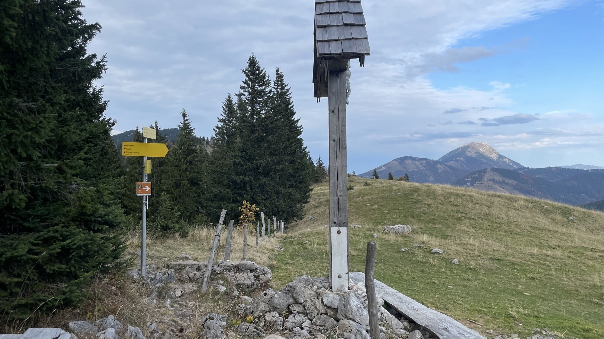
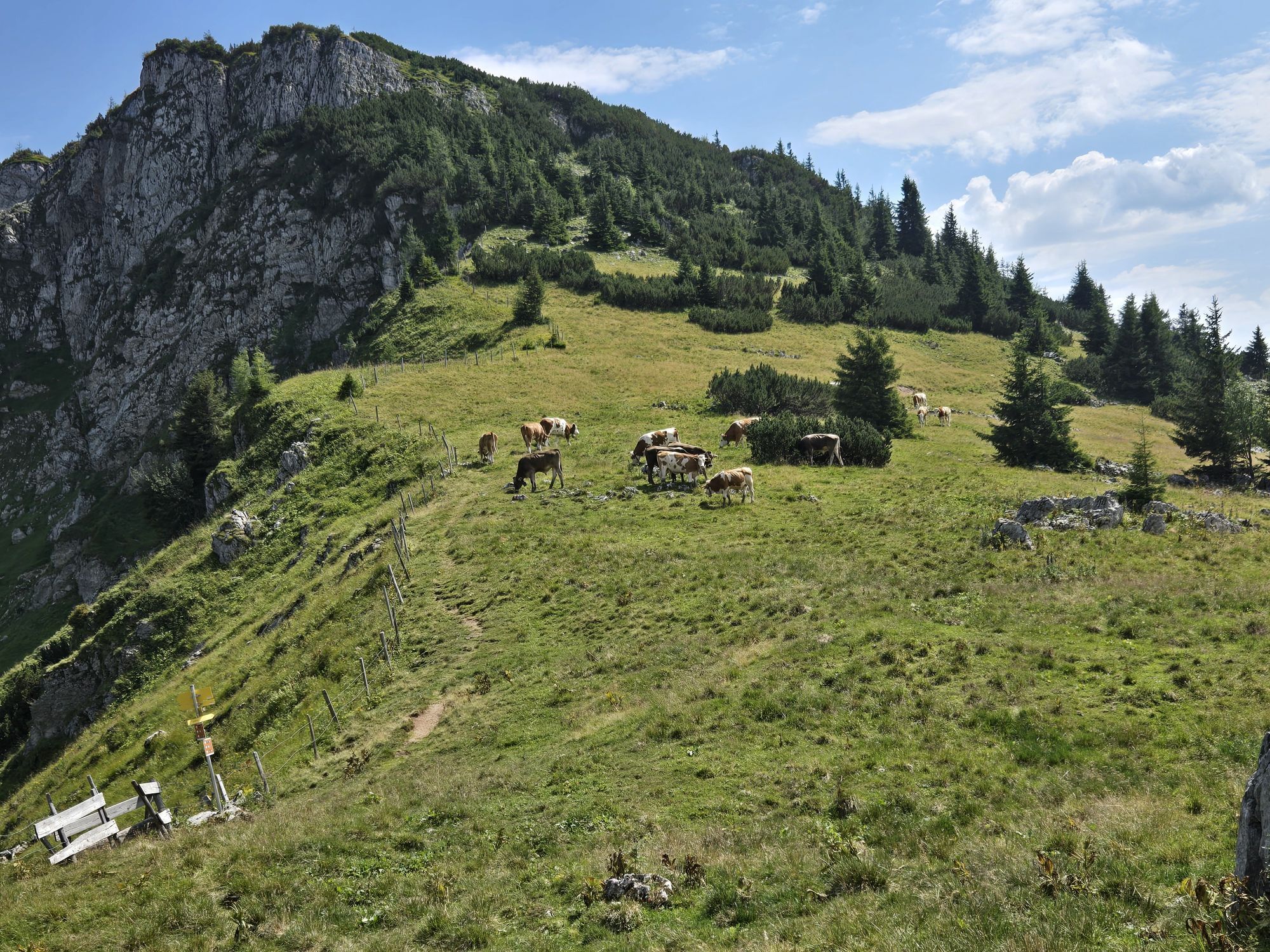
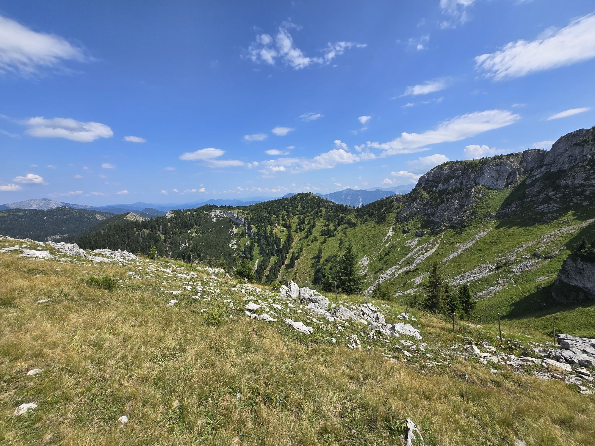
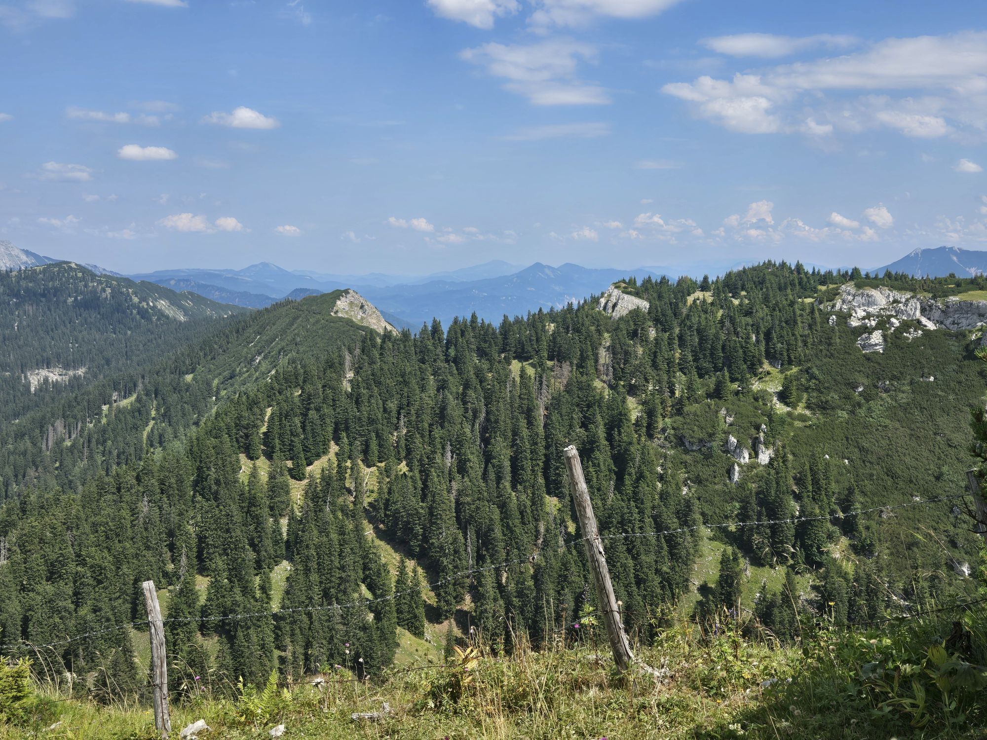
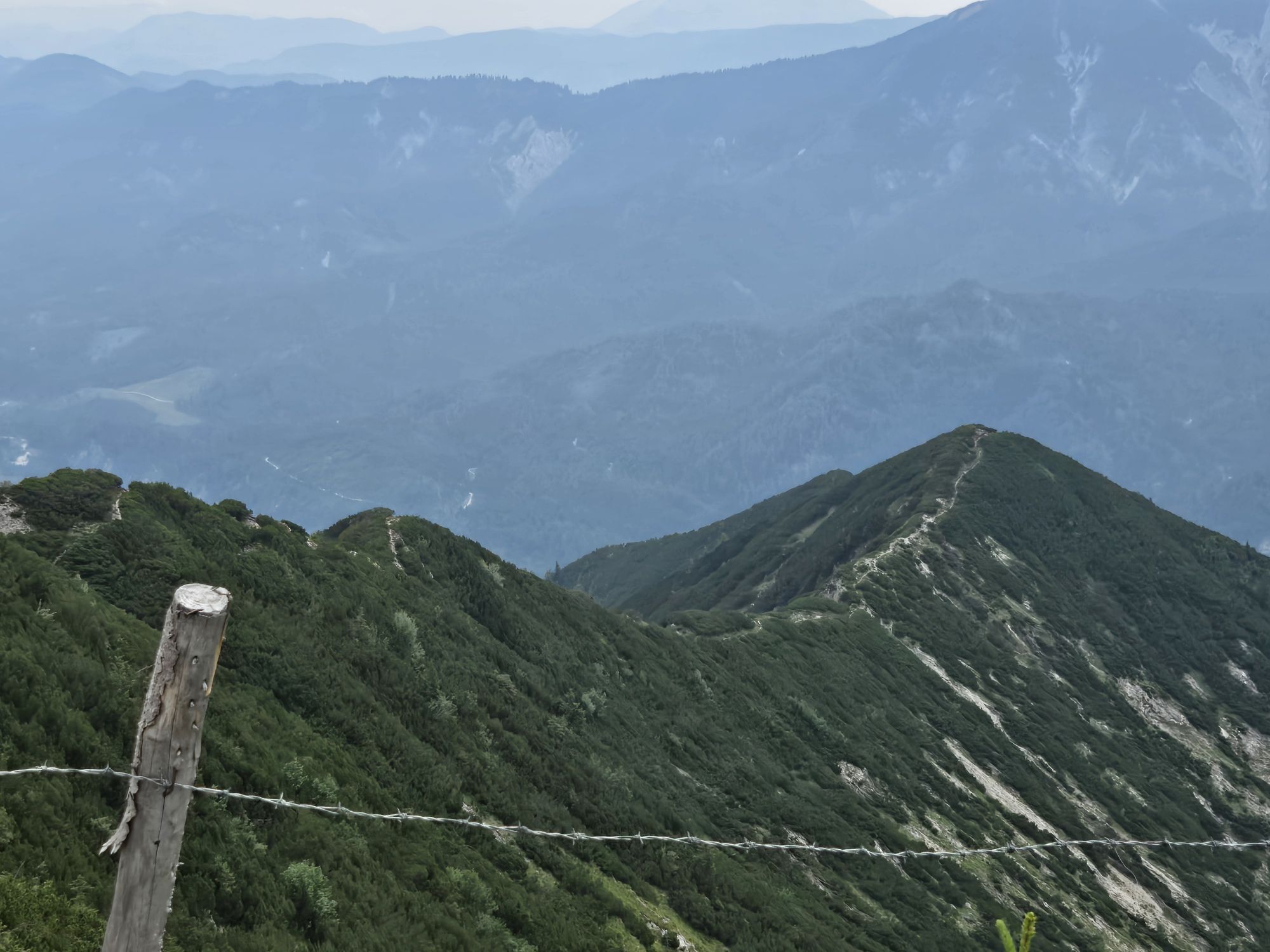
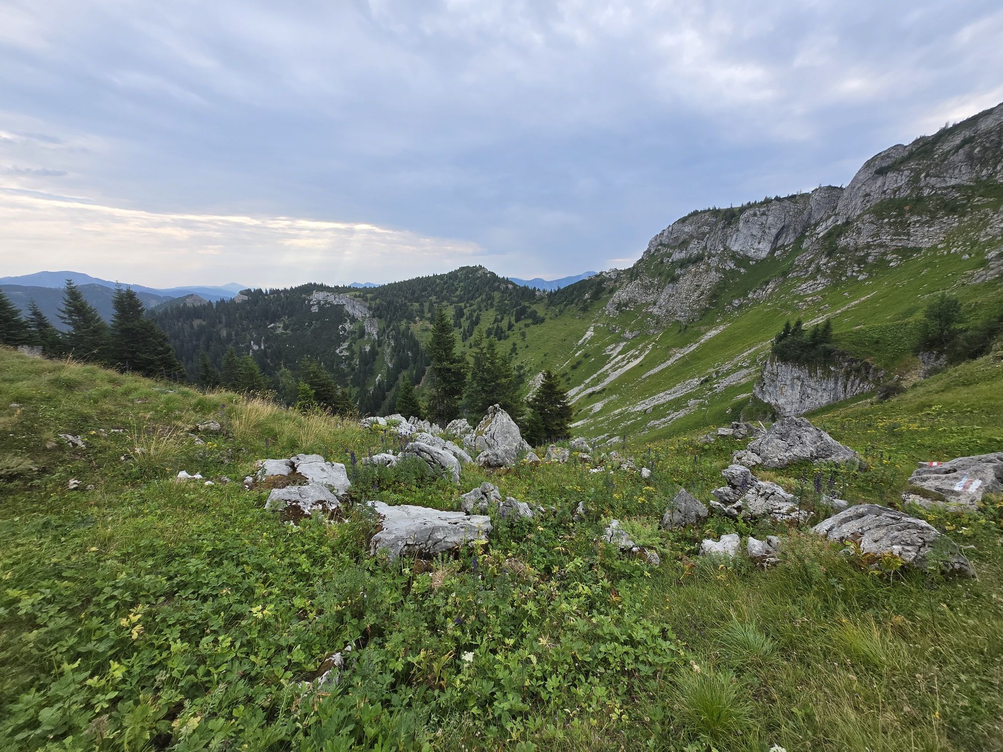
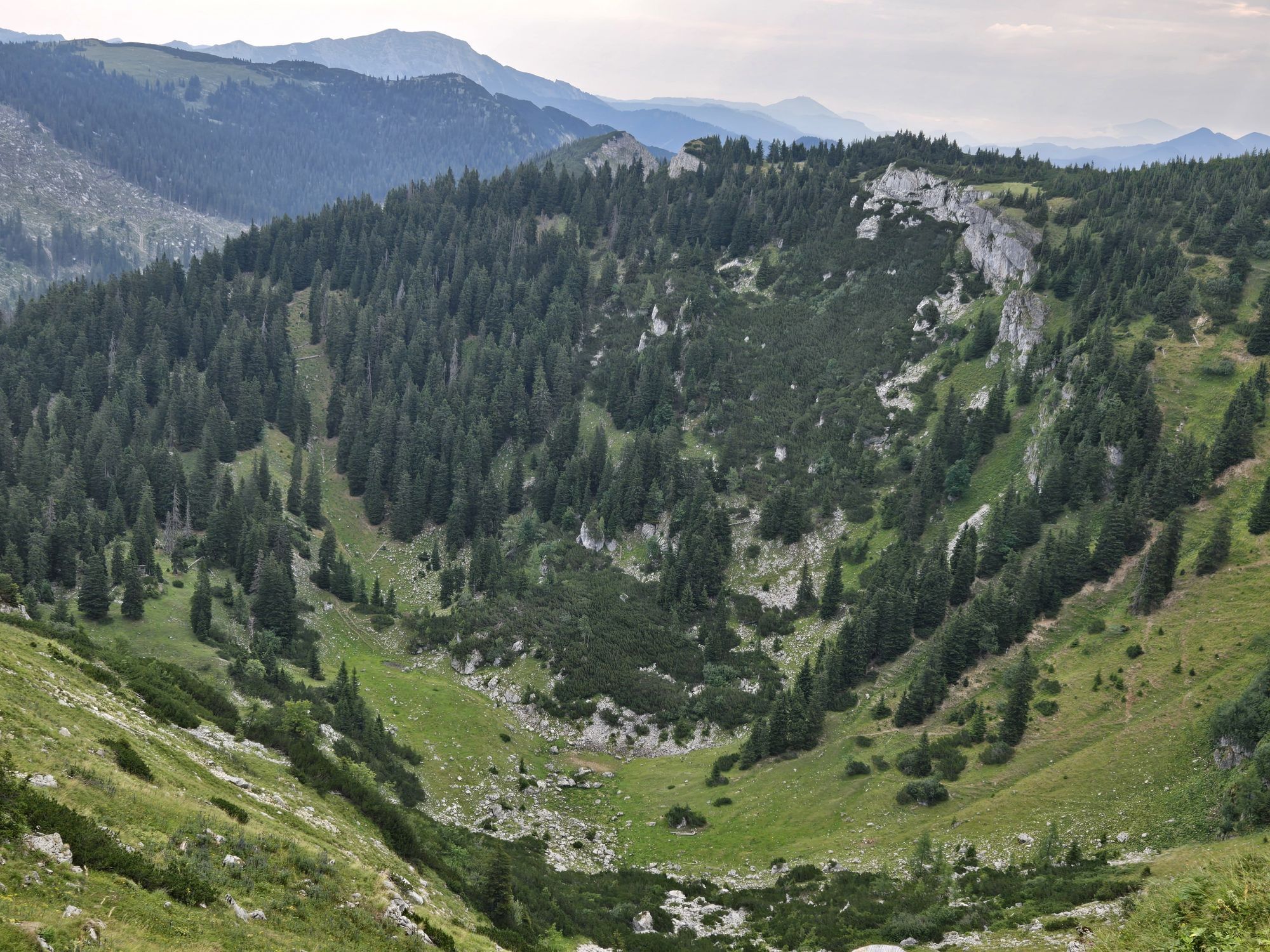
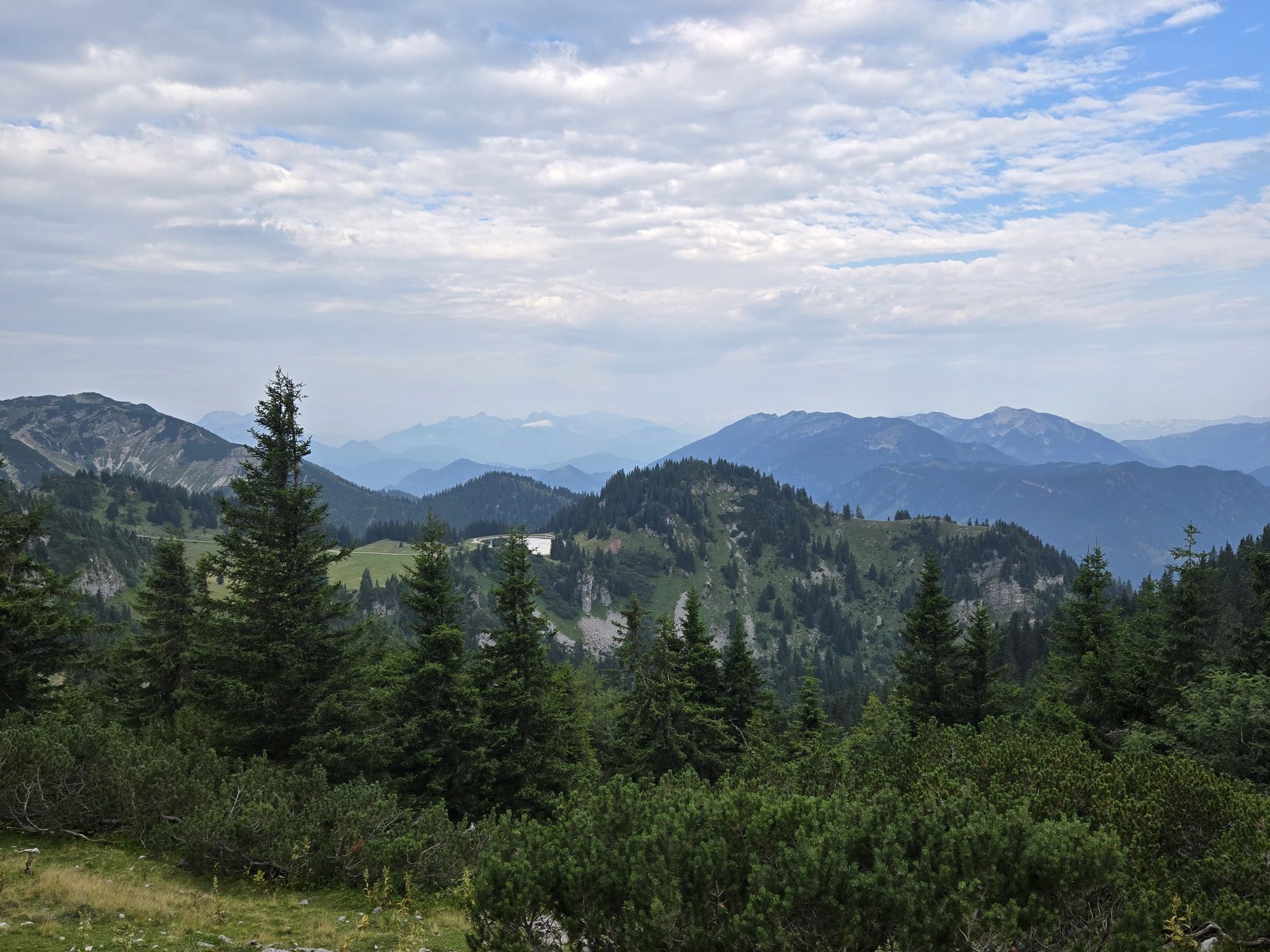
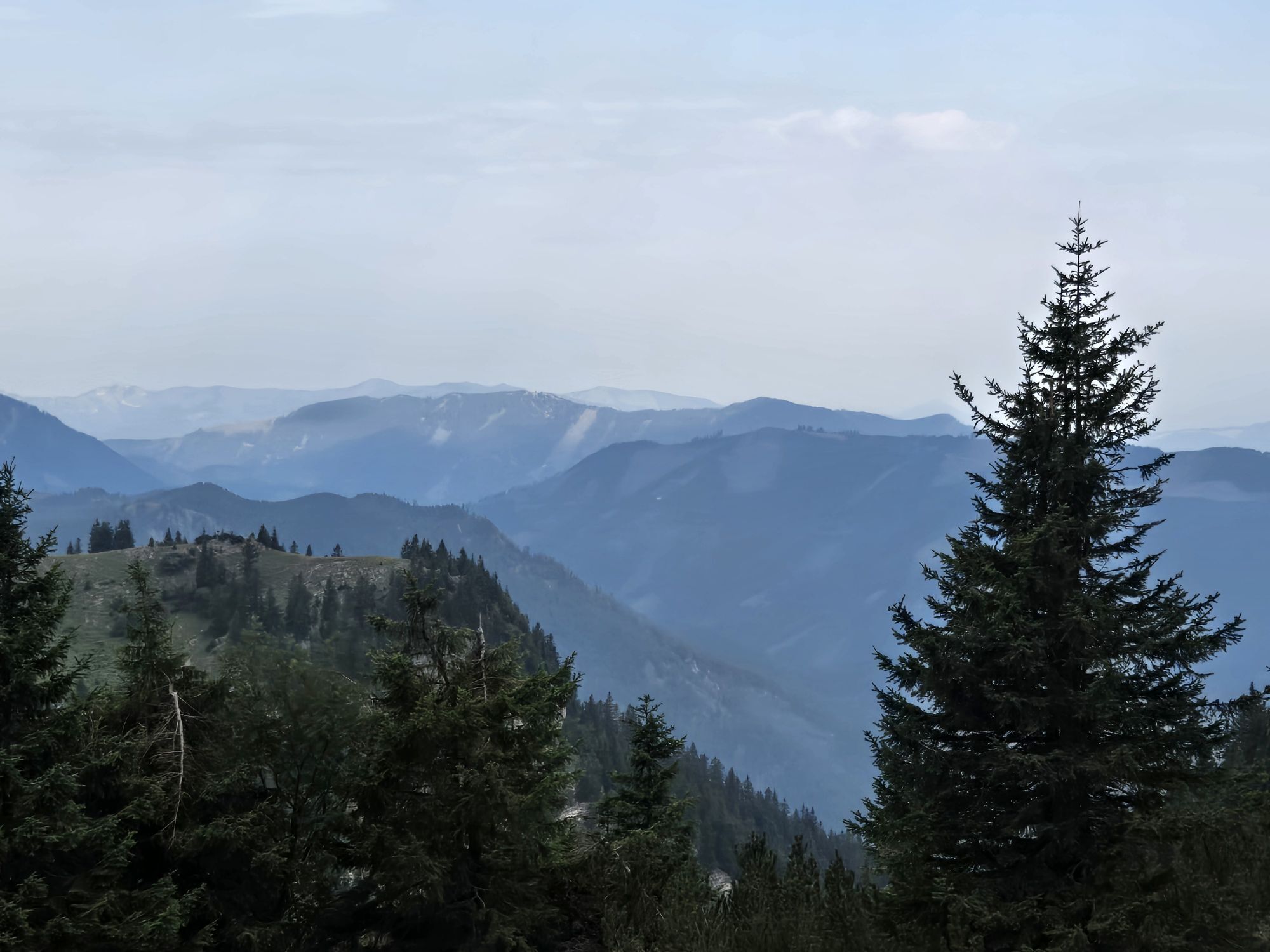
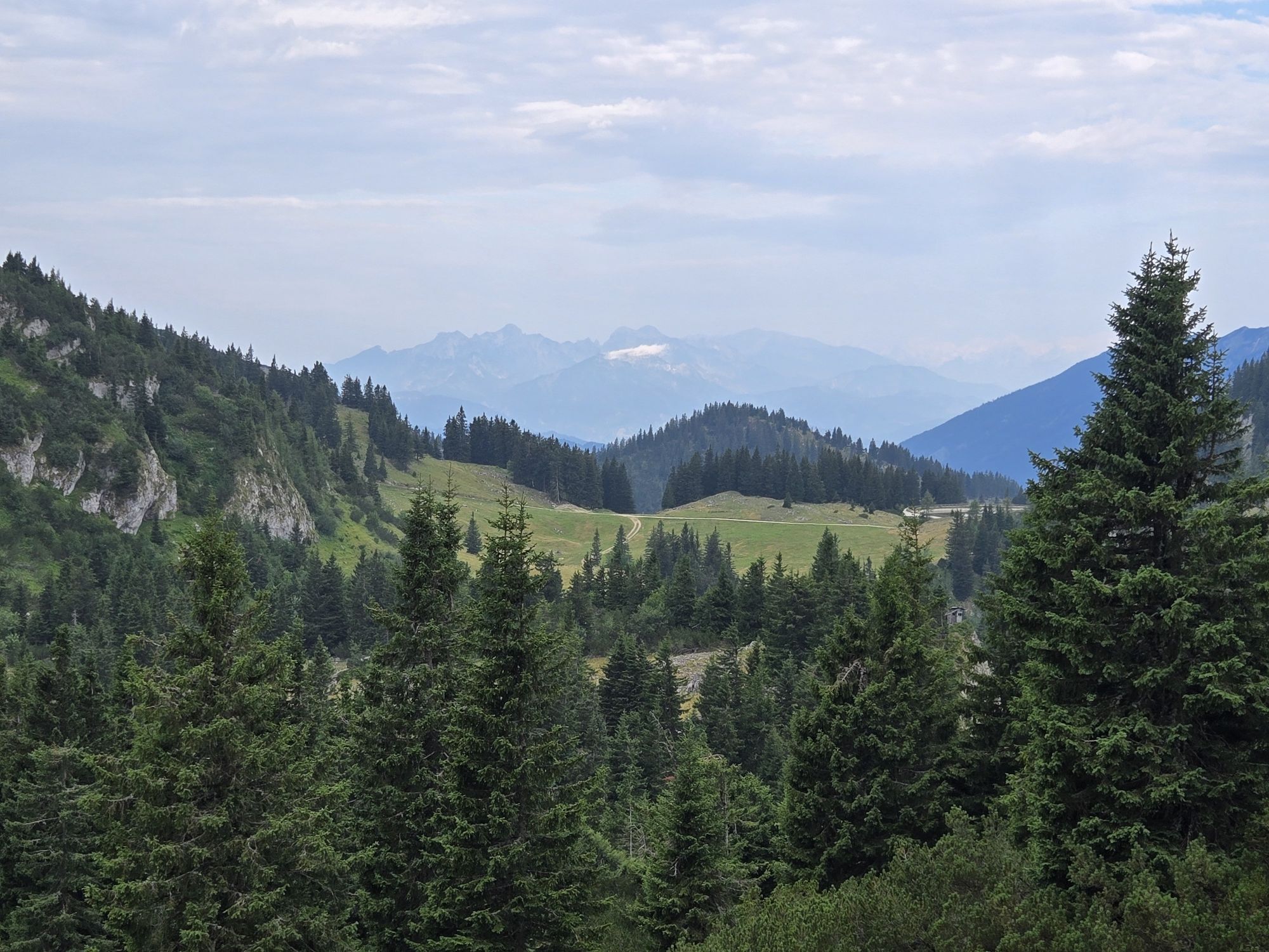
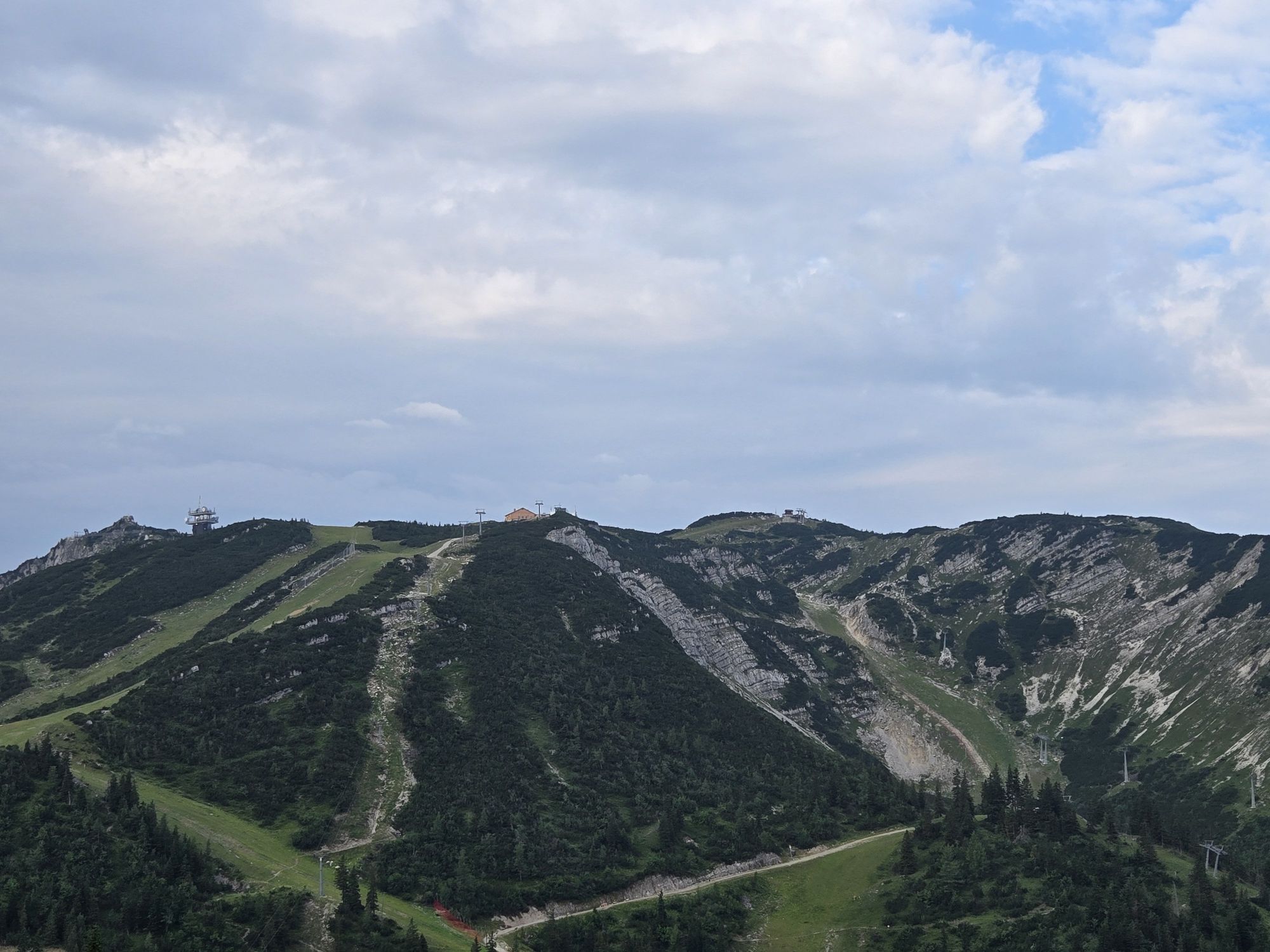
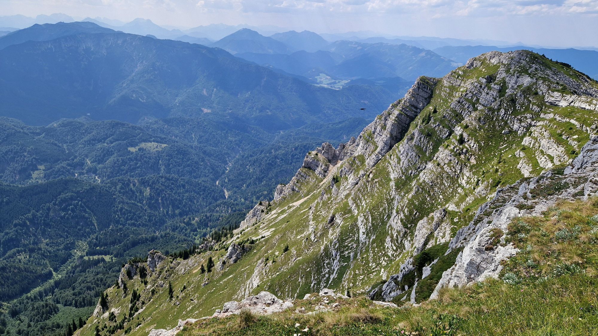
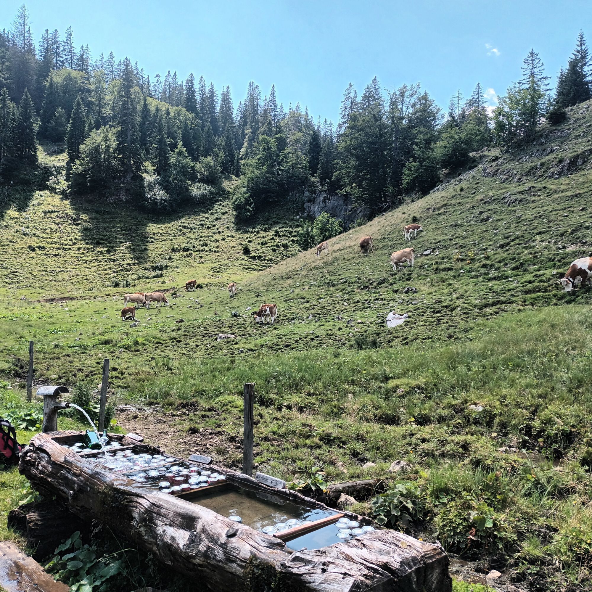
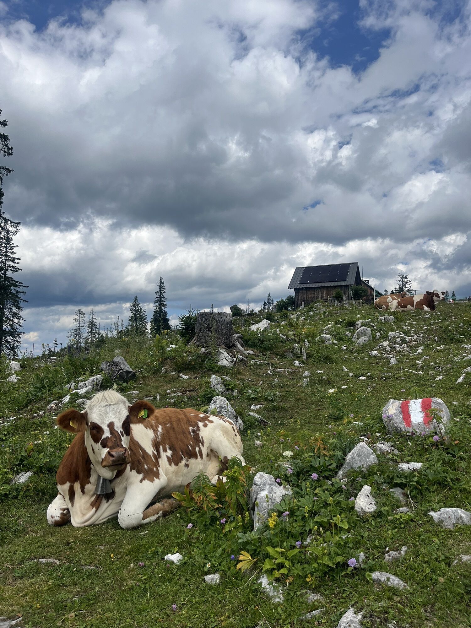
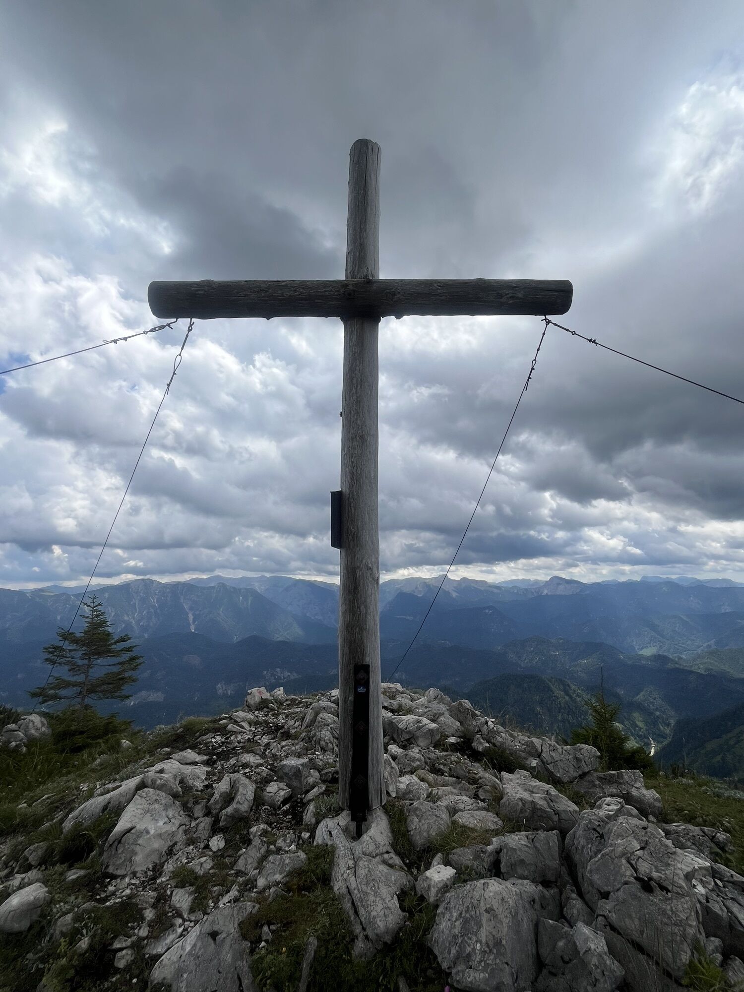
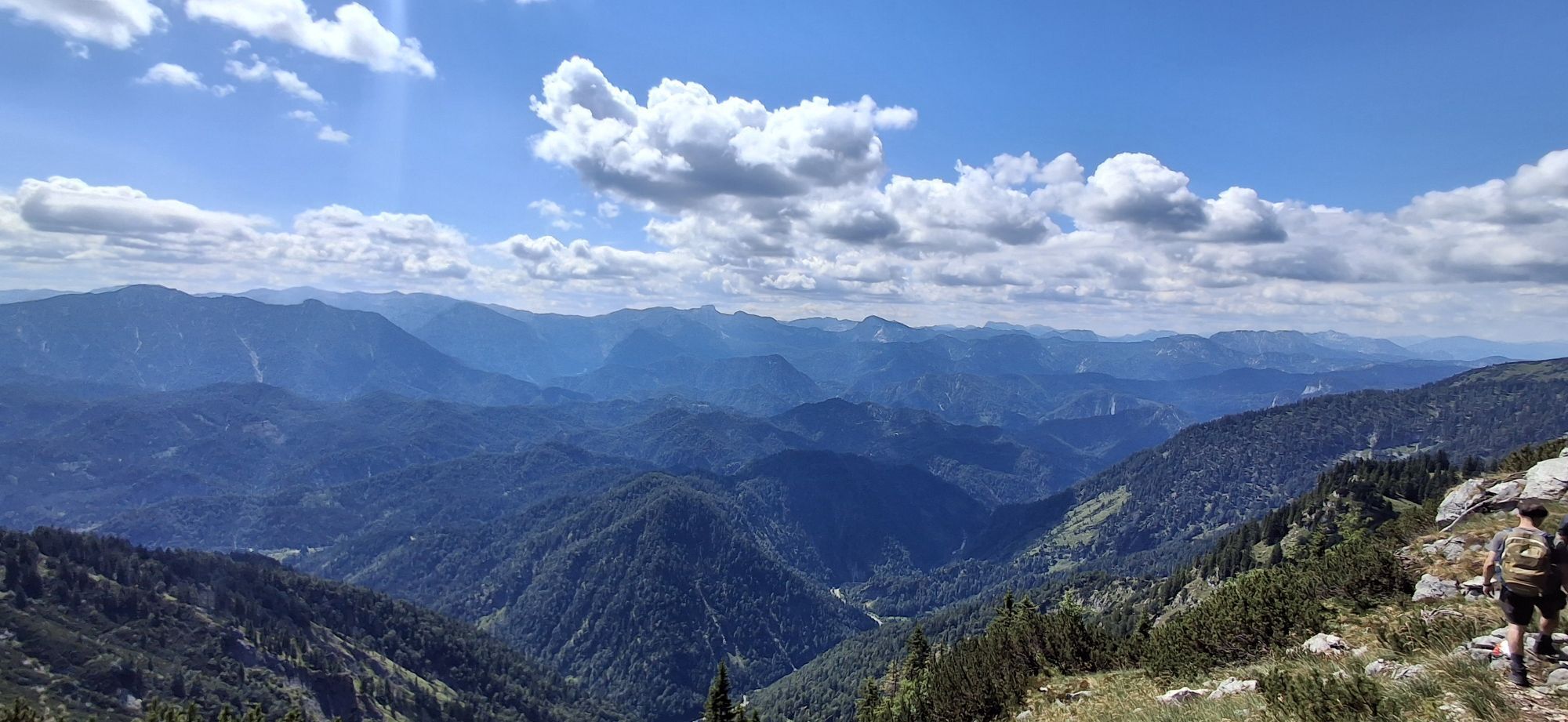
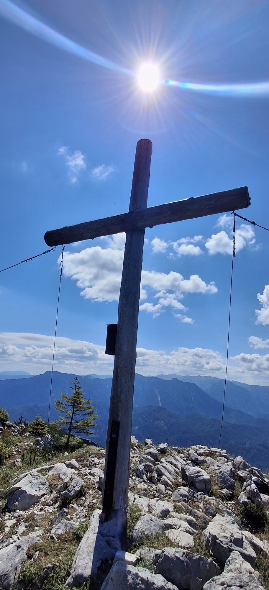
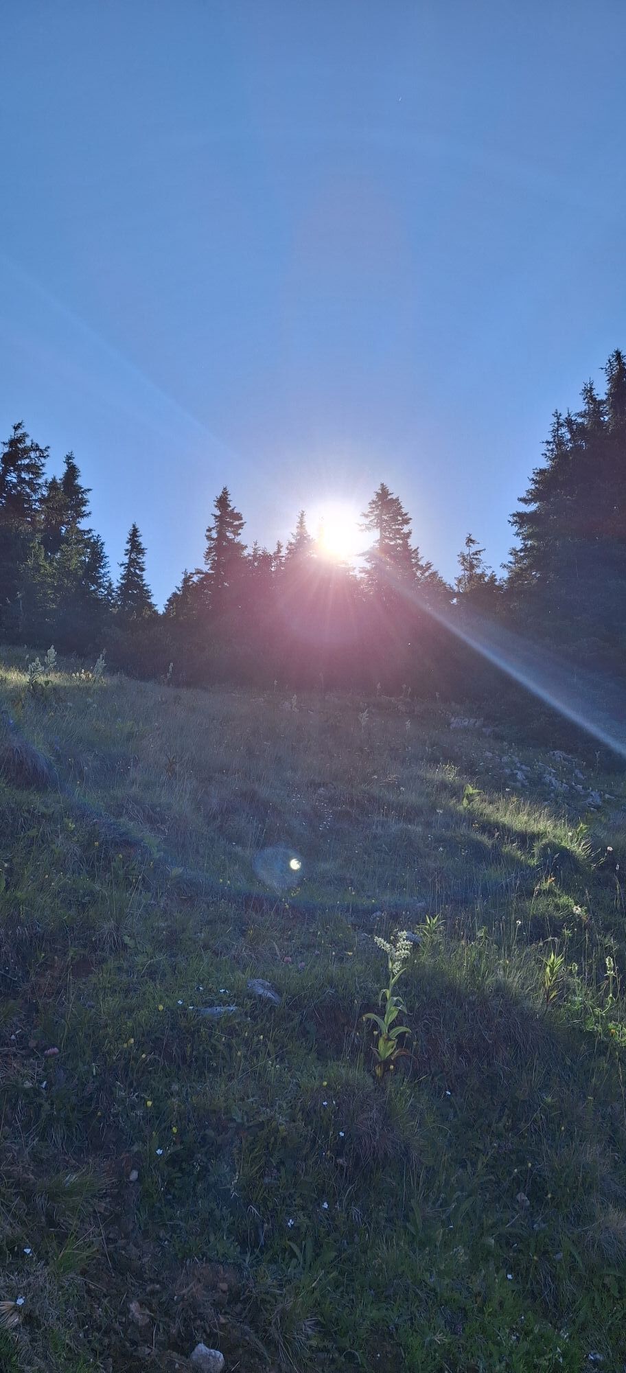
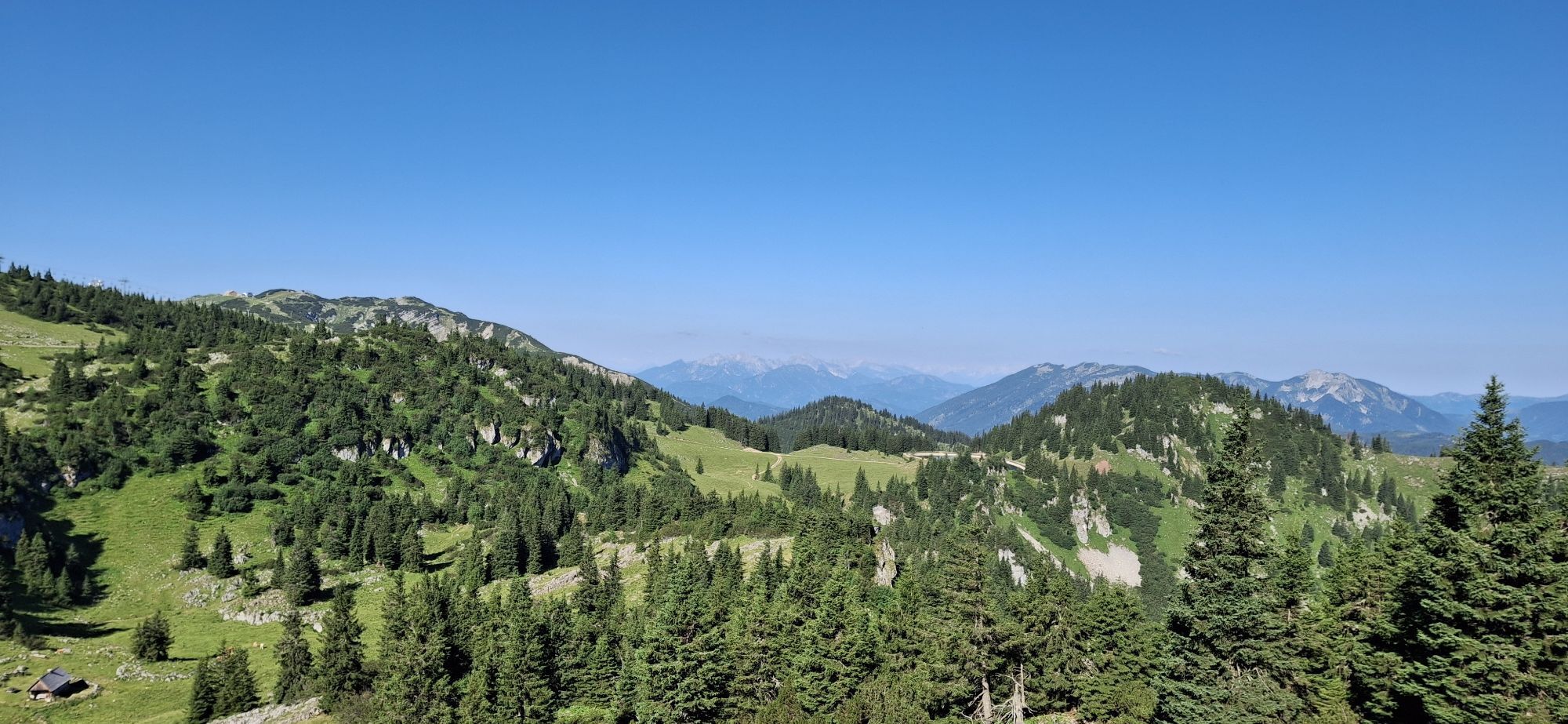
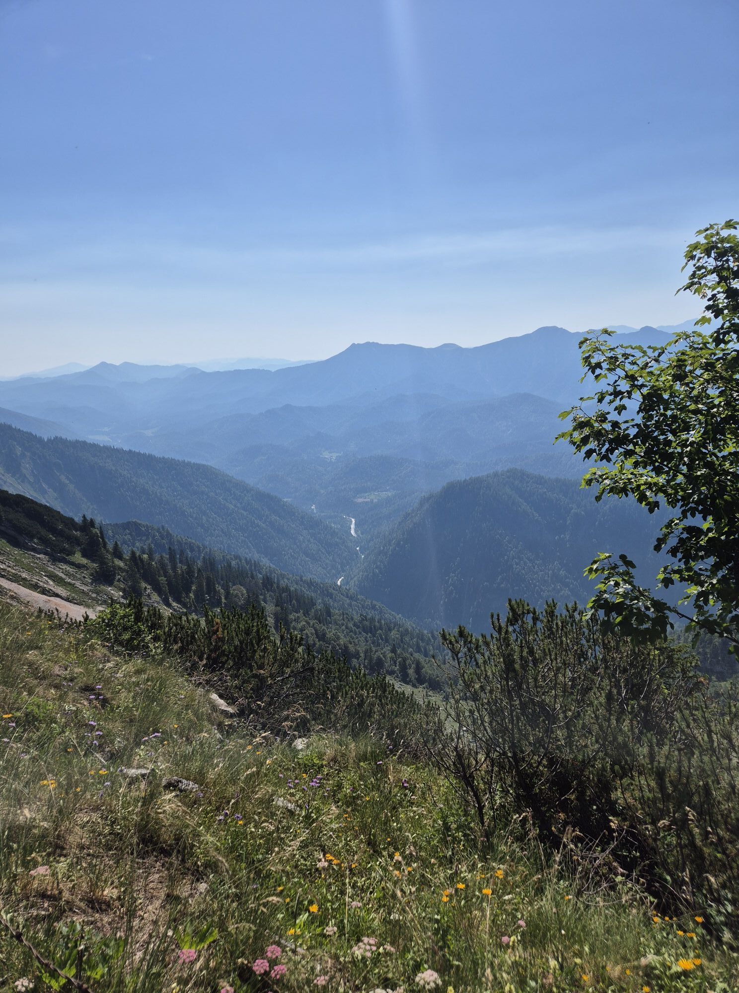
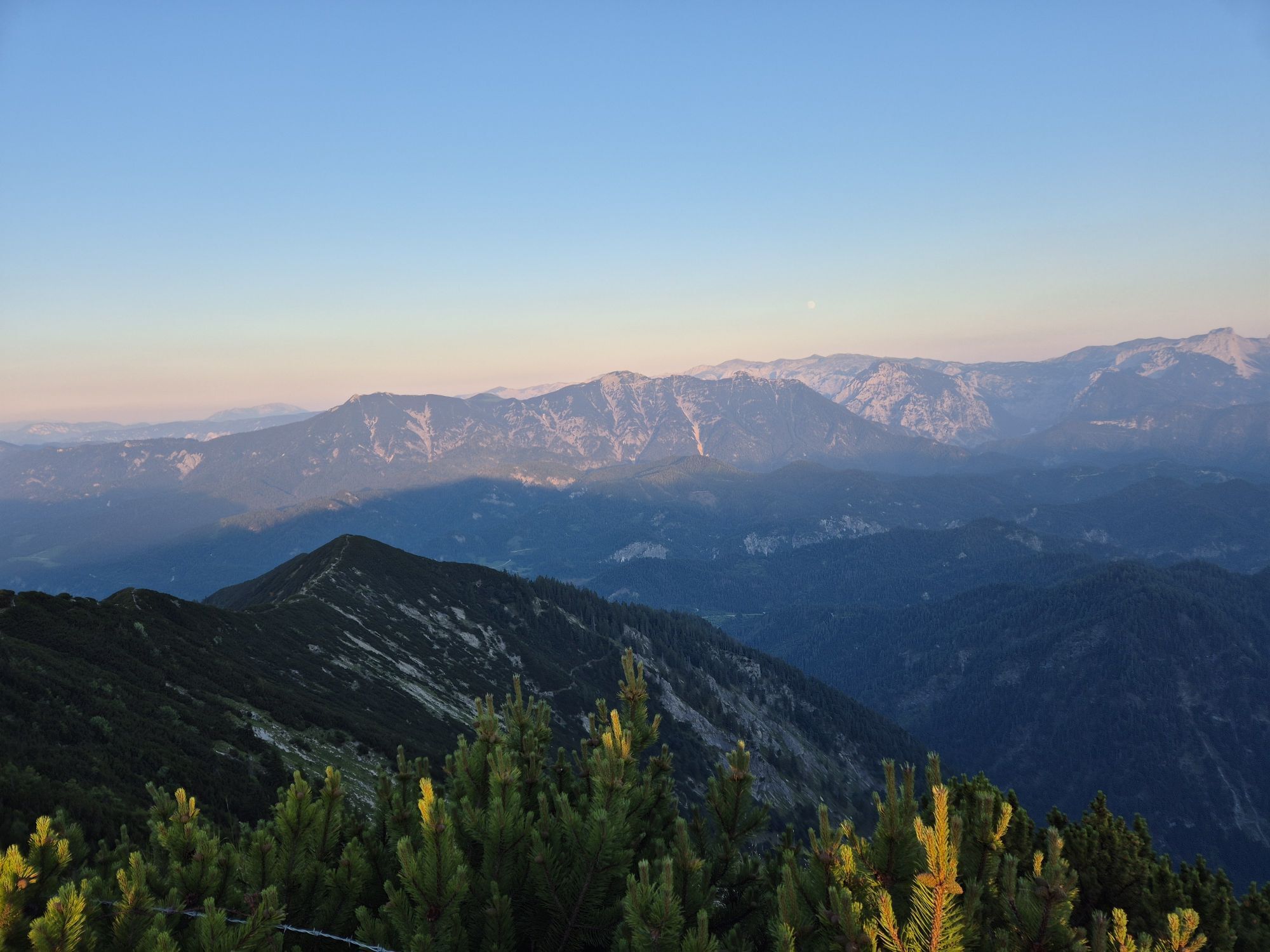
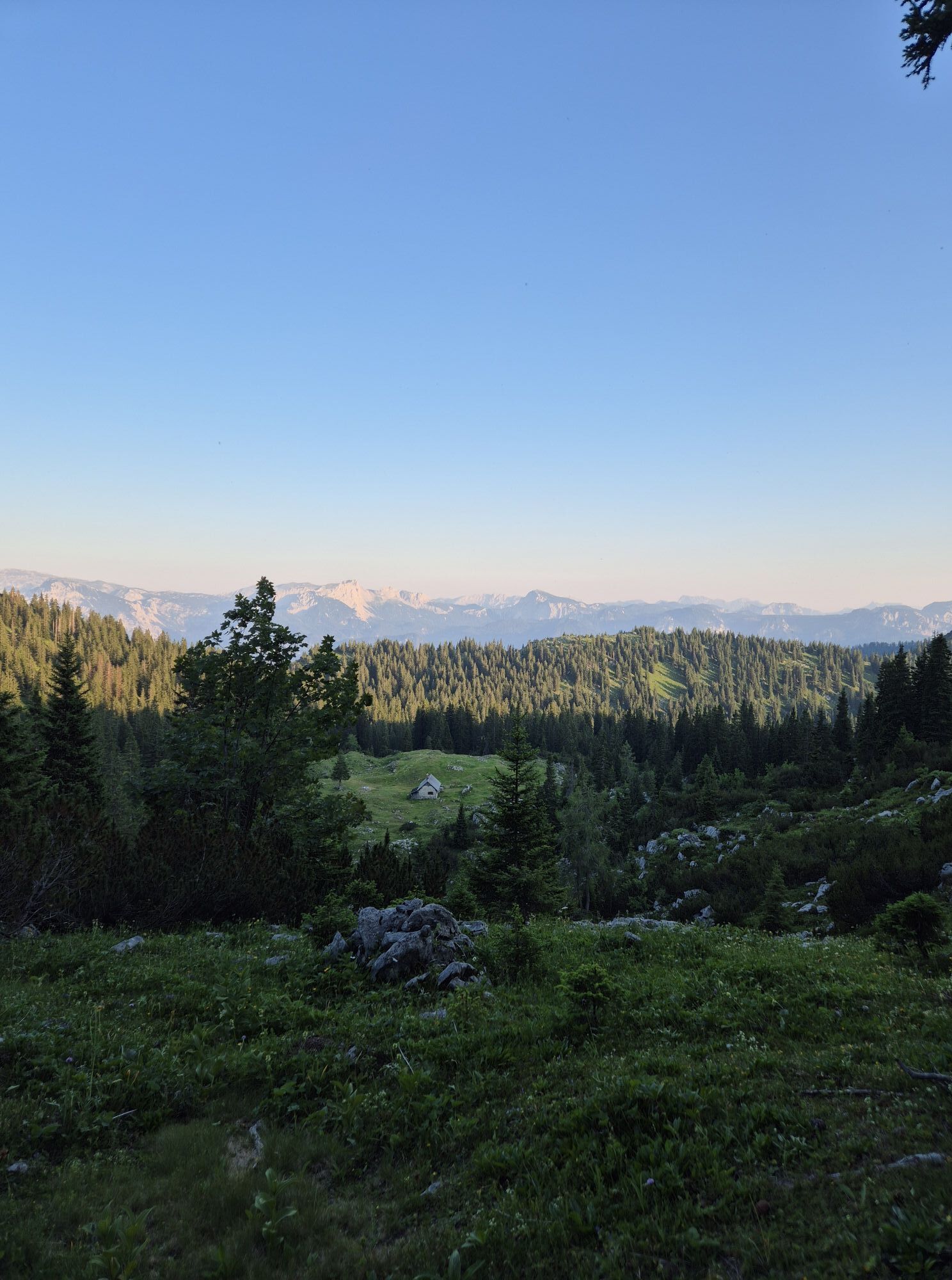
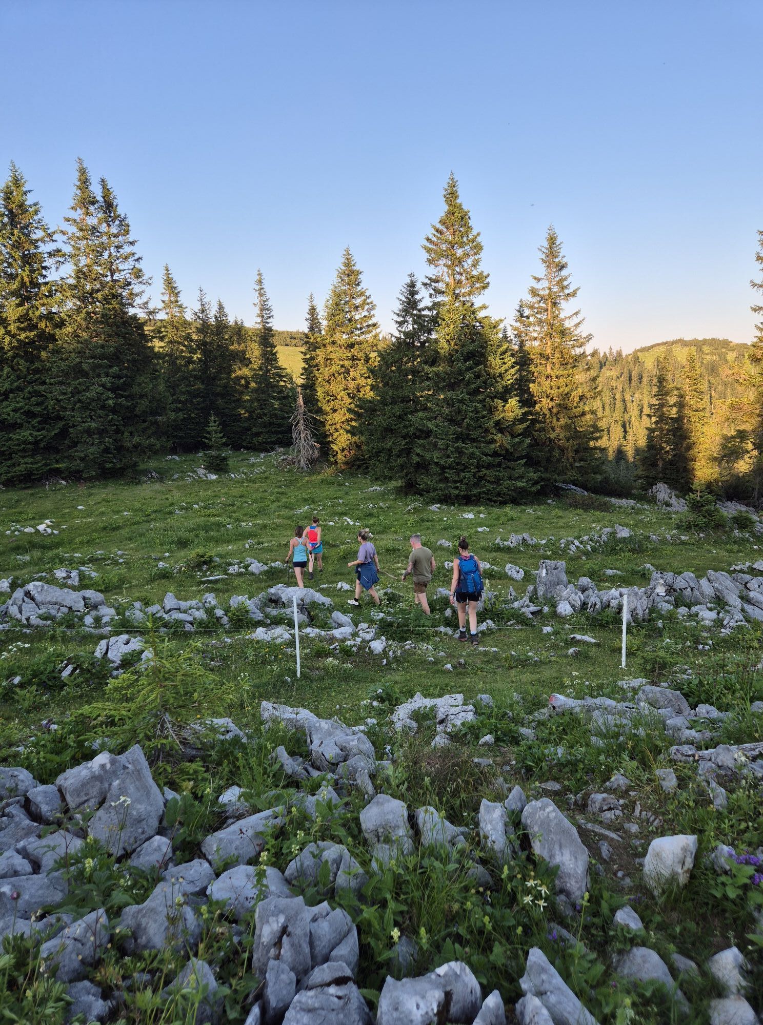
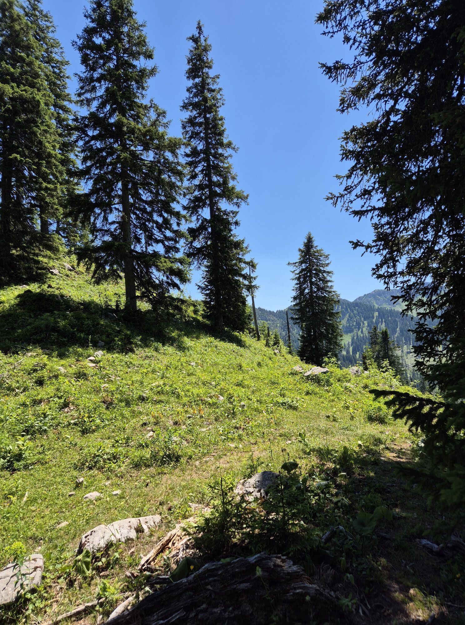
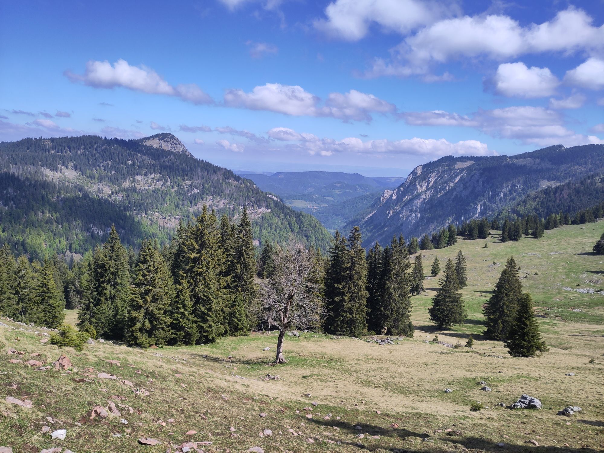
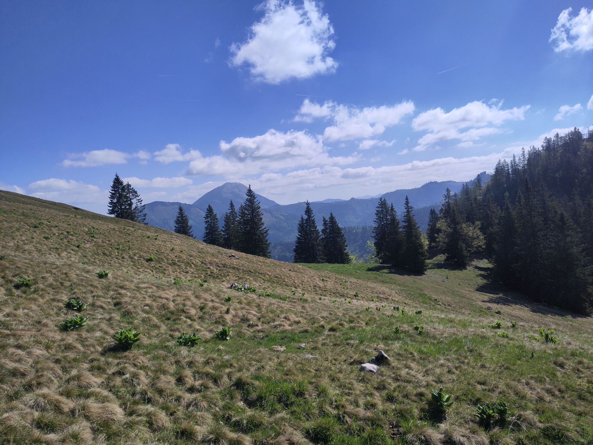
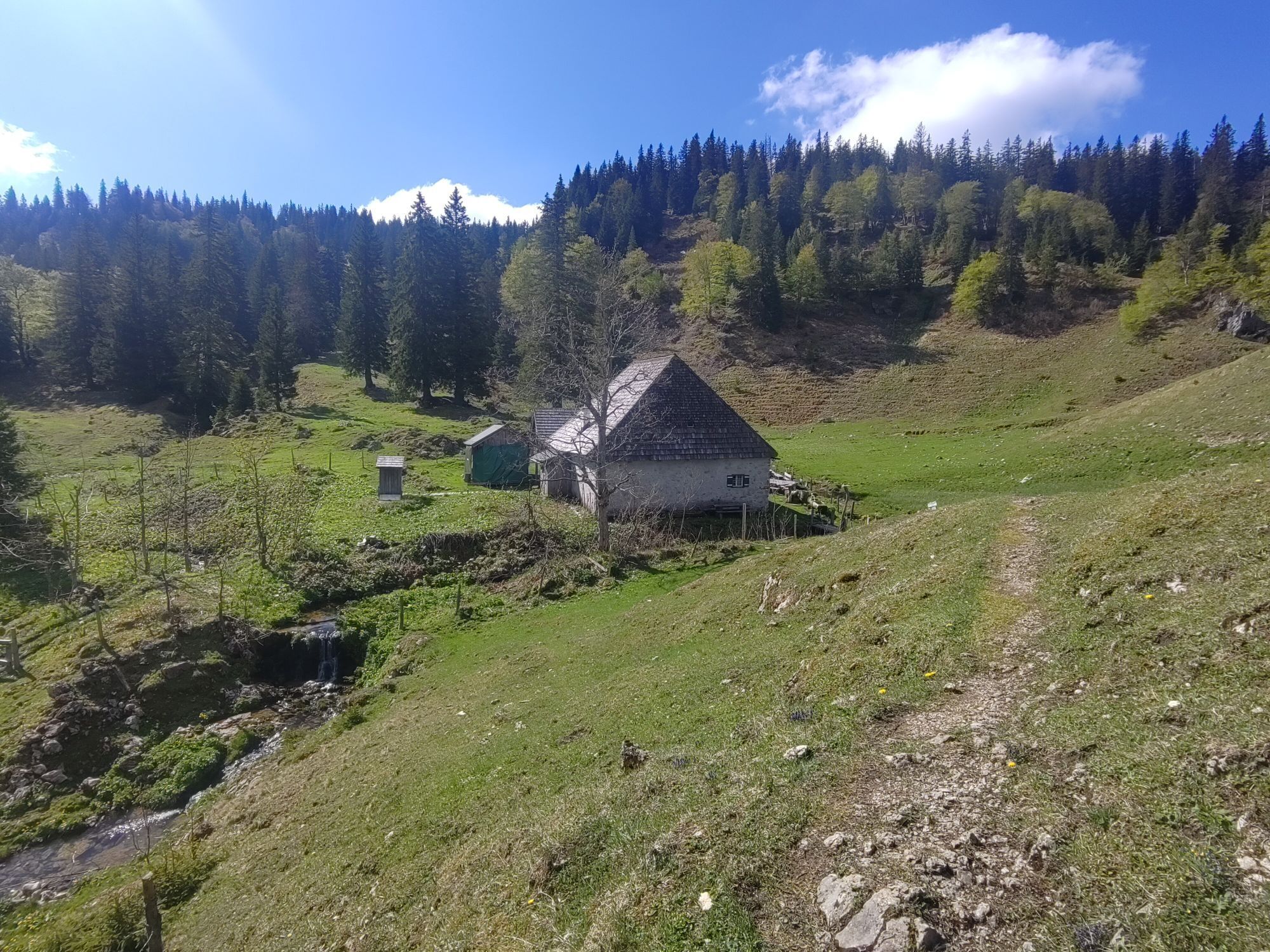
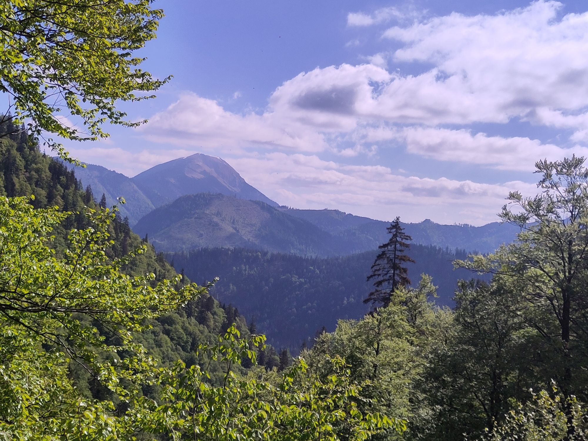
From Lackenhof, the trail leads over the Riffelsattel into Langau. Via the Herrenalm (temporarily closed), the trail leads up to the mighty Dürrenstein, the highest point of the route. Following the ridge,...
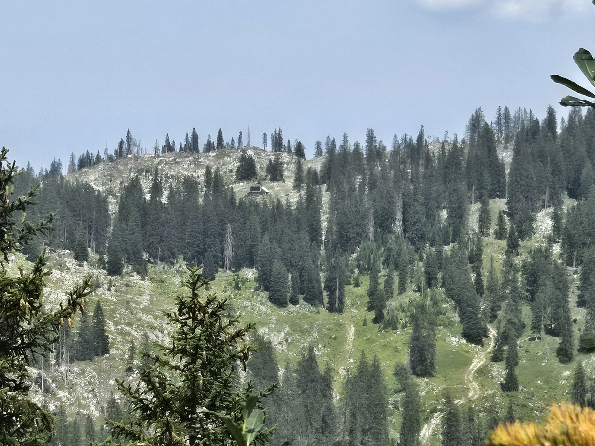
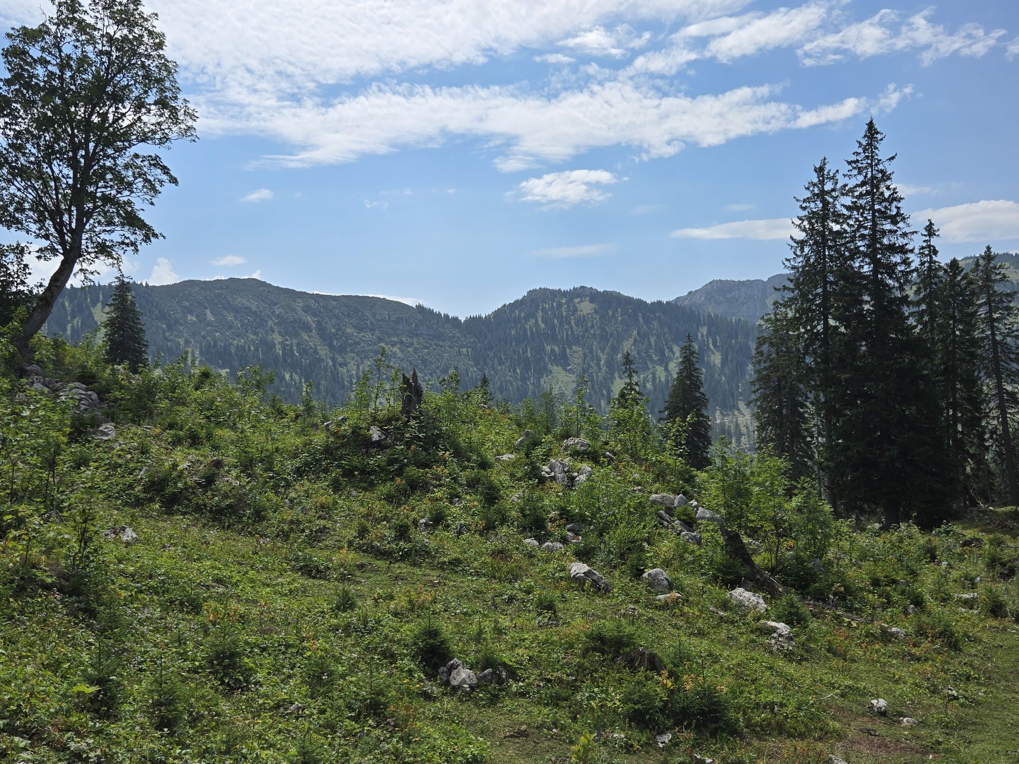
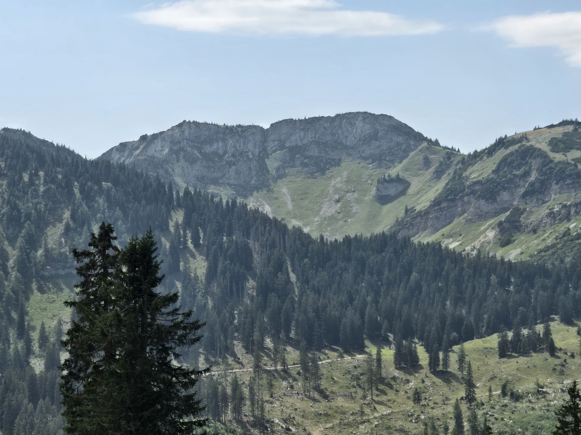
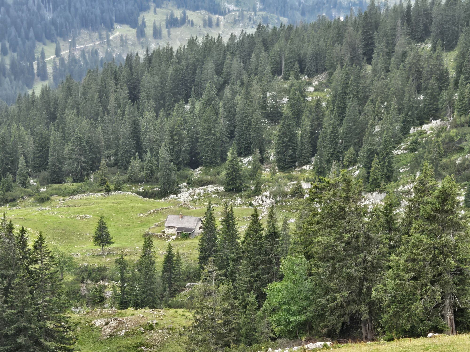
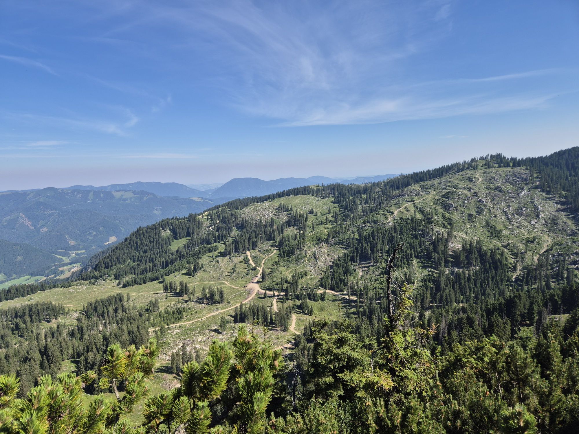
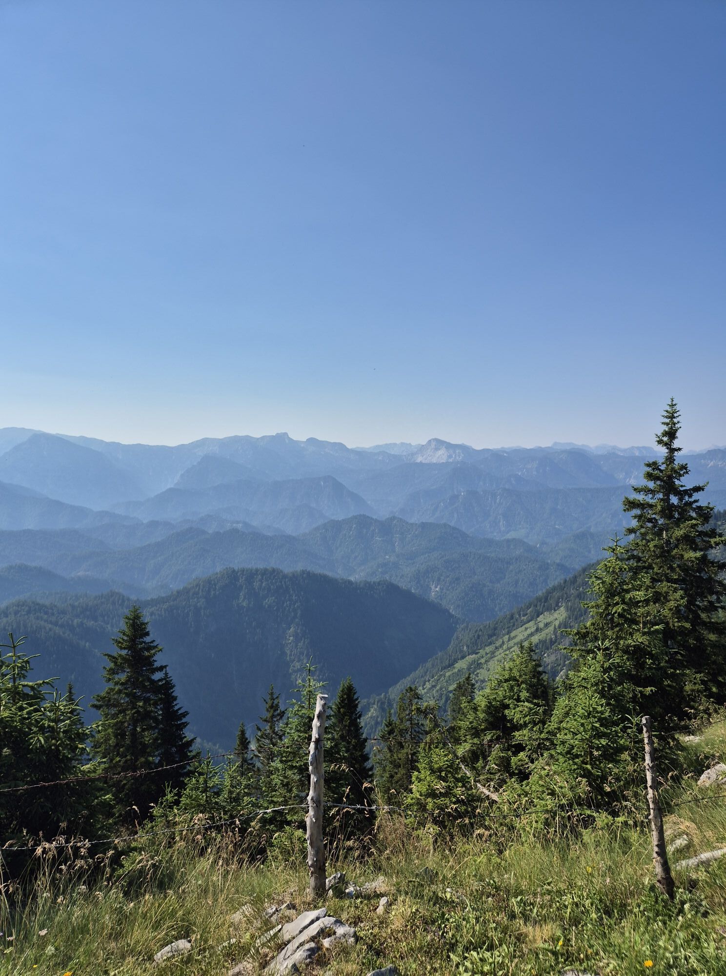
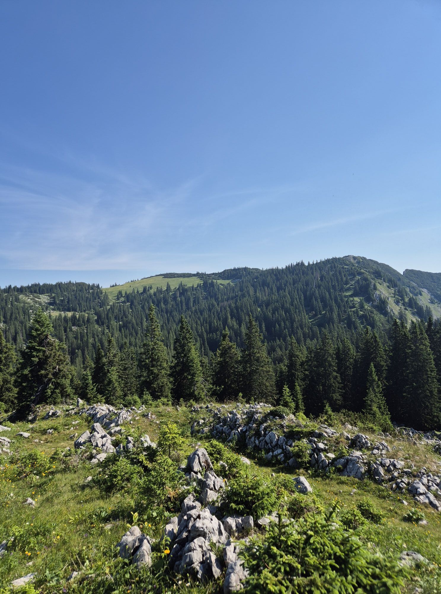
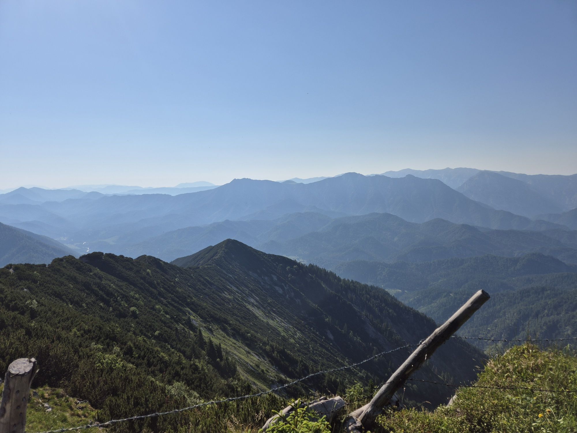
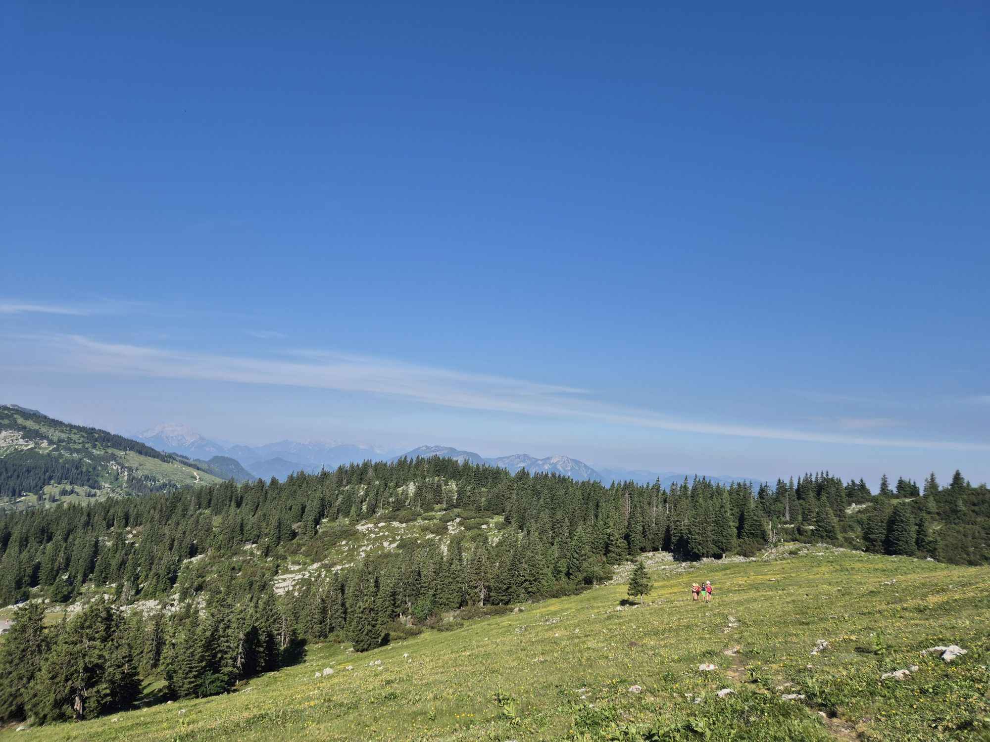
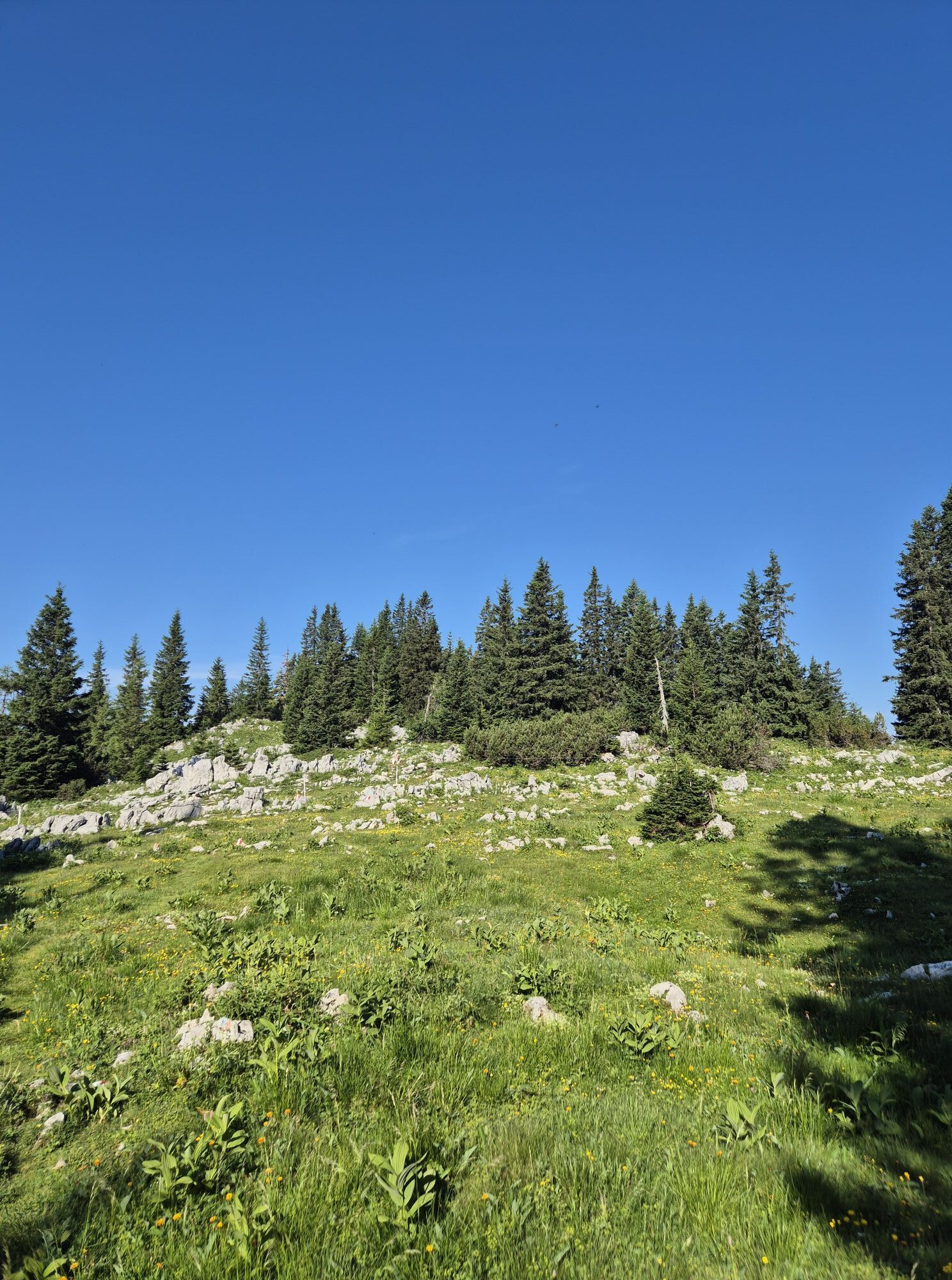
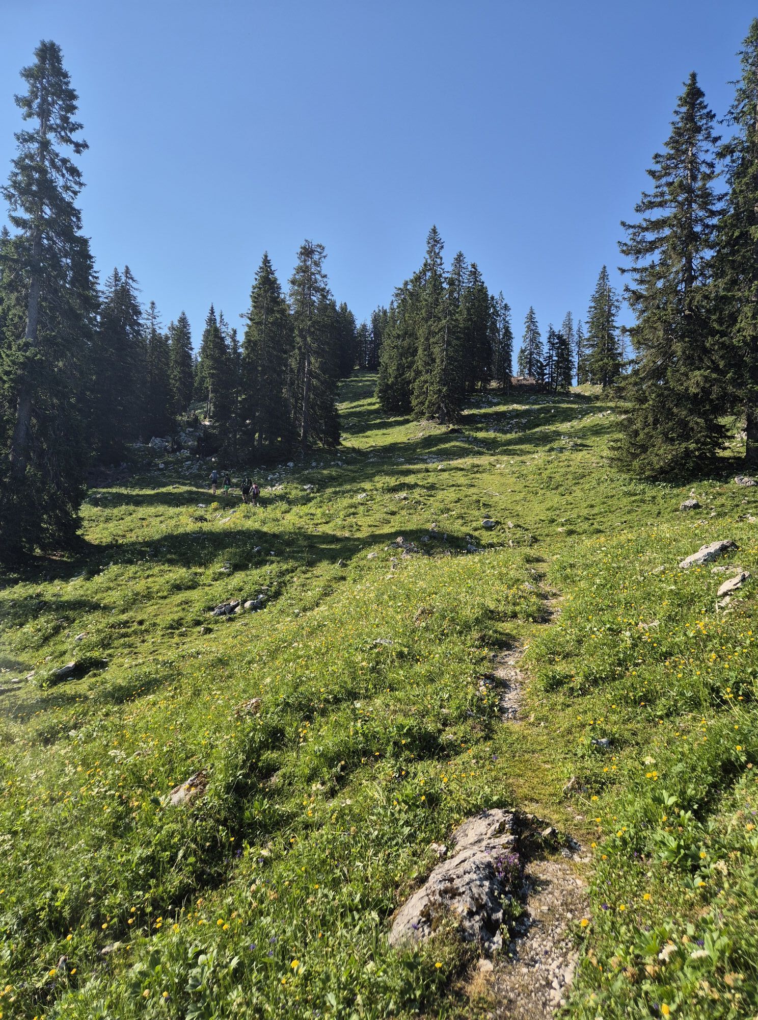
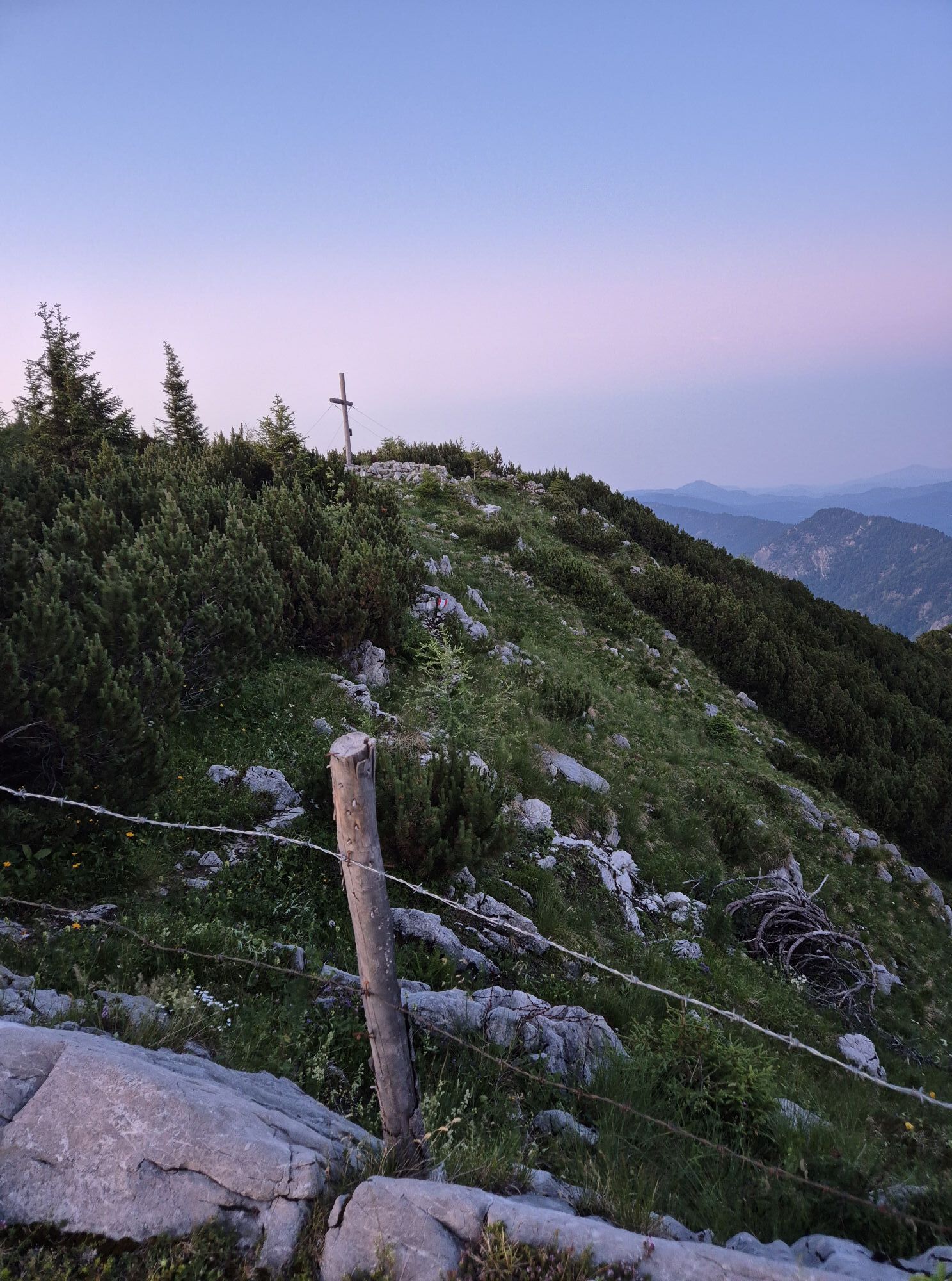
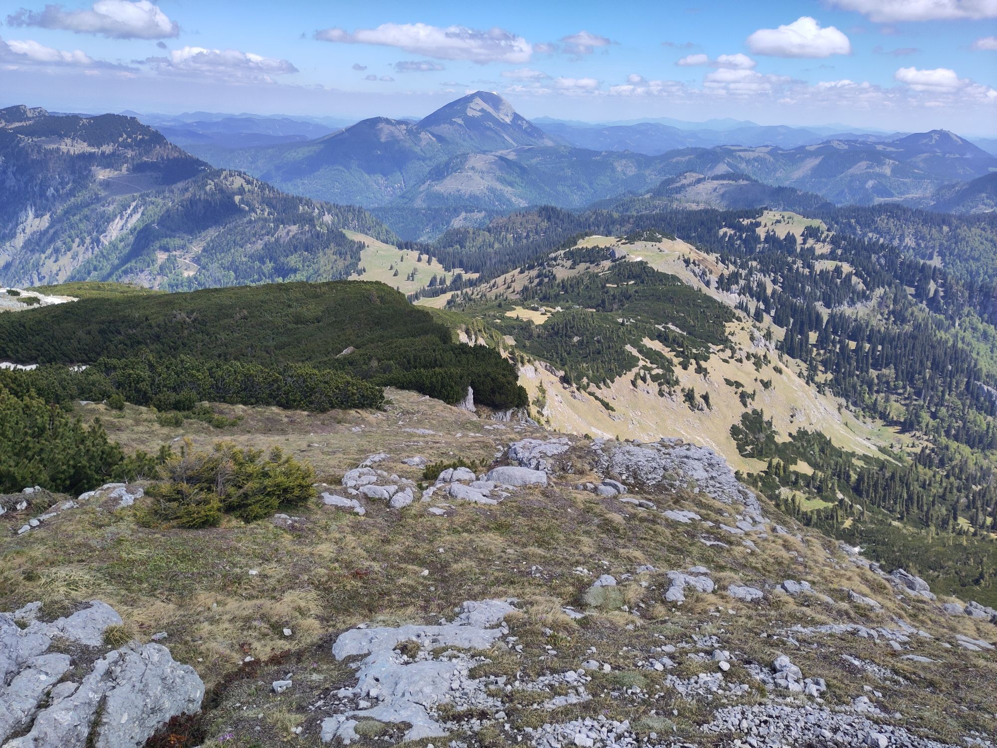
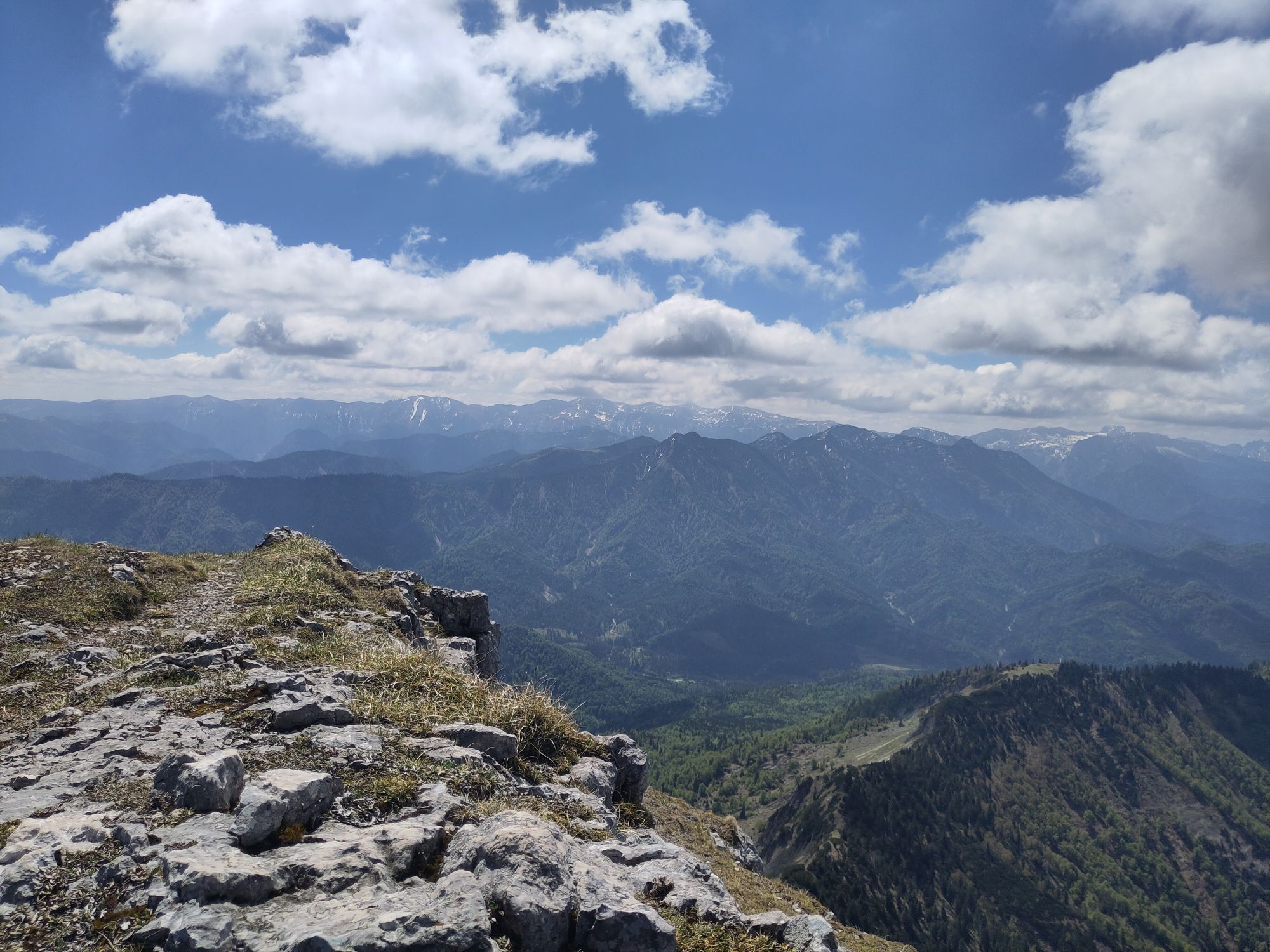
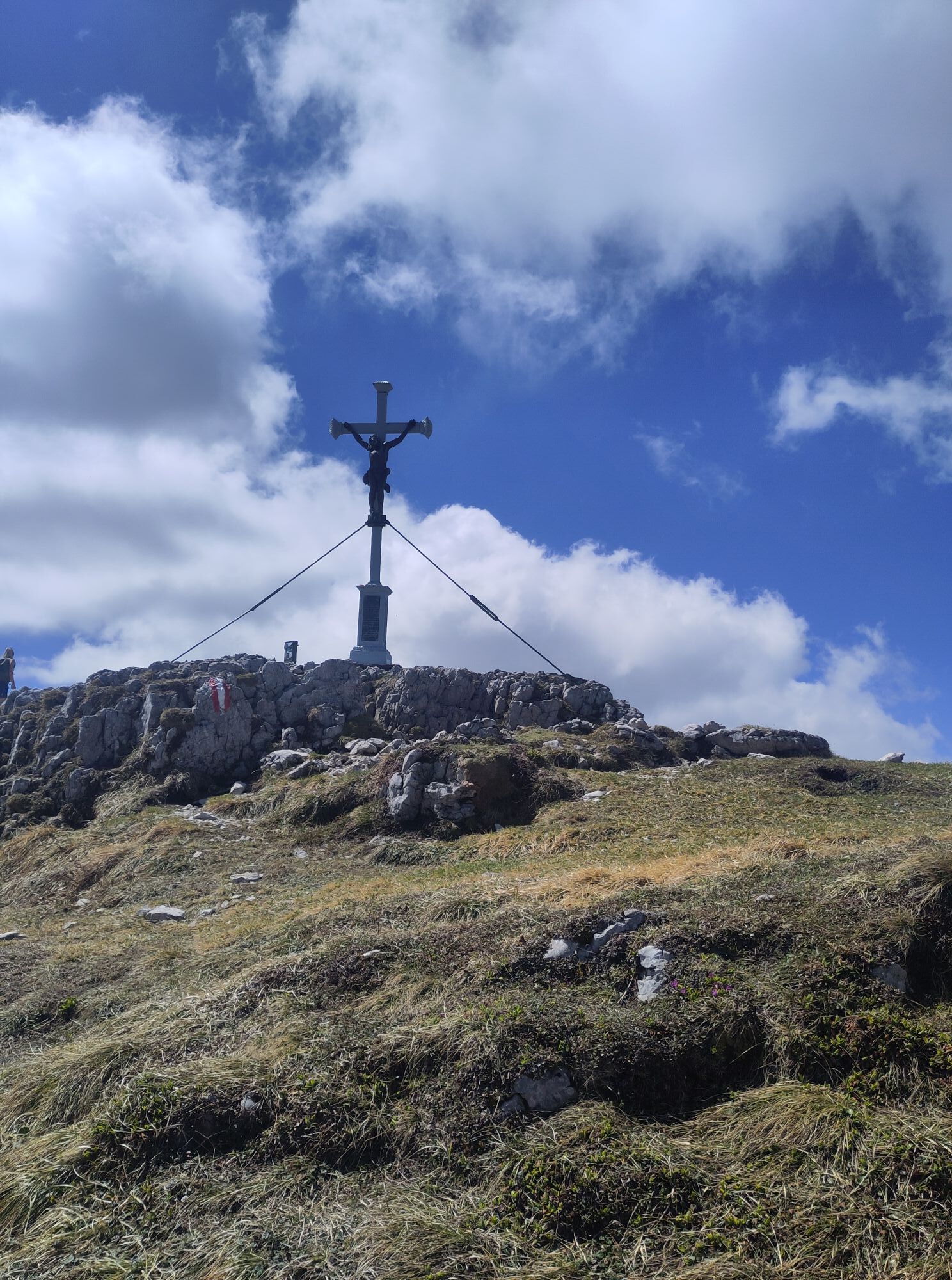
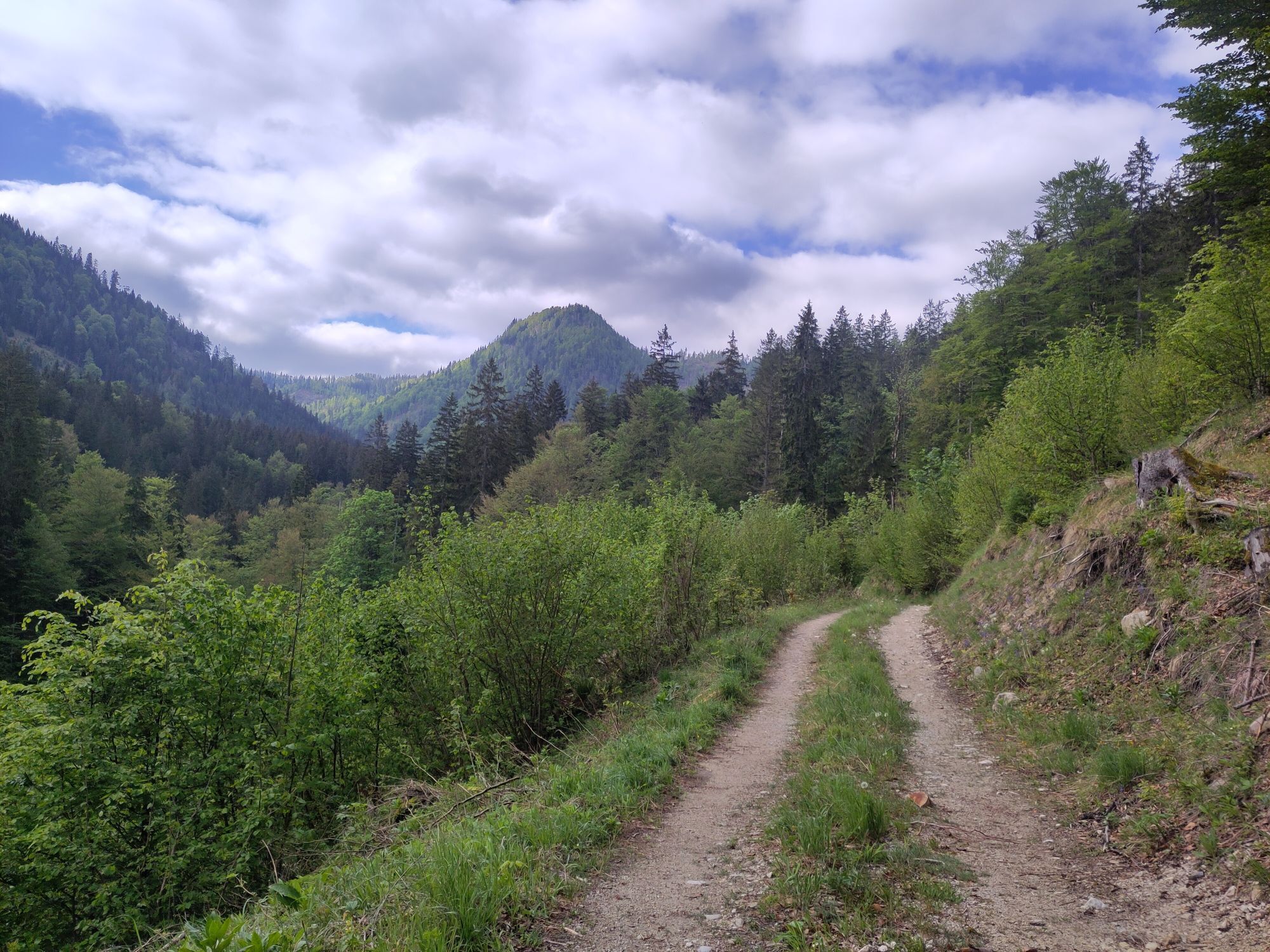
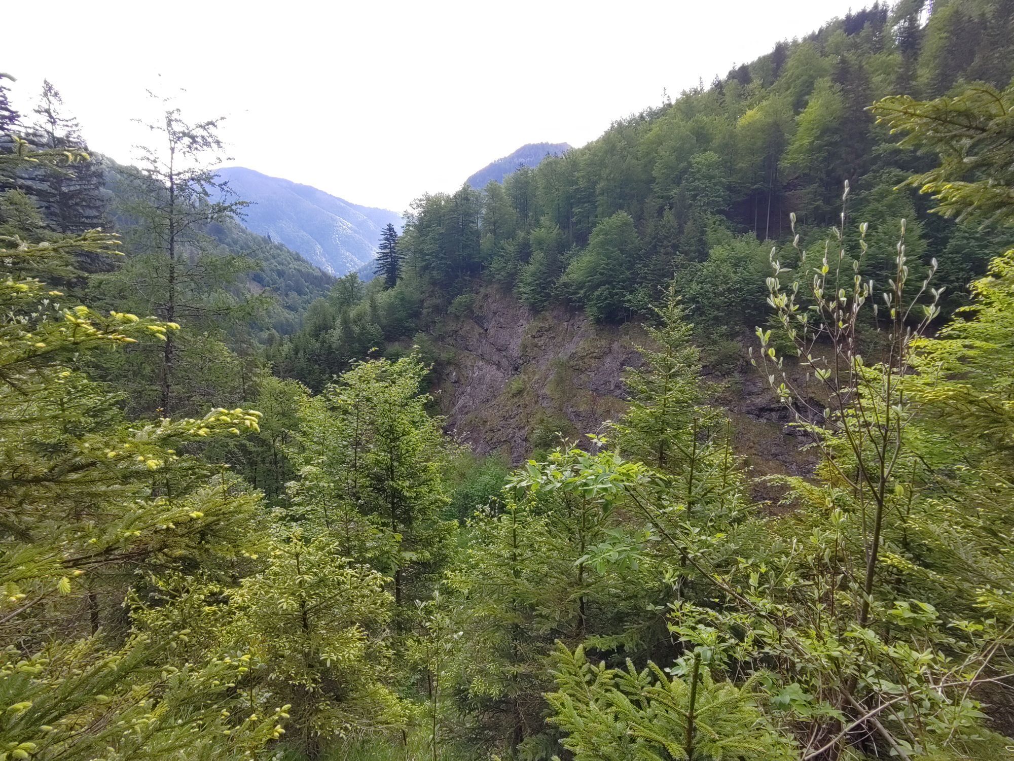
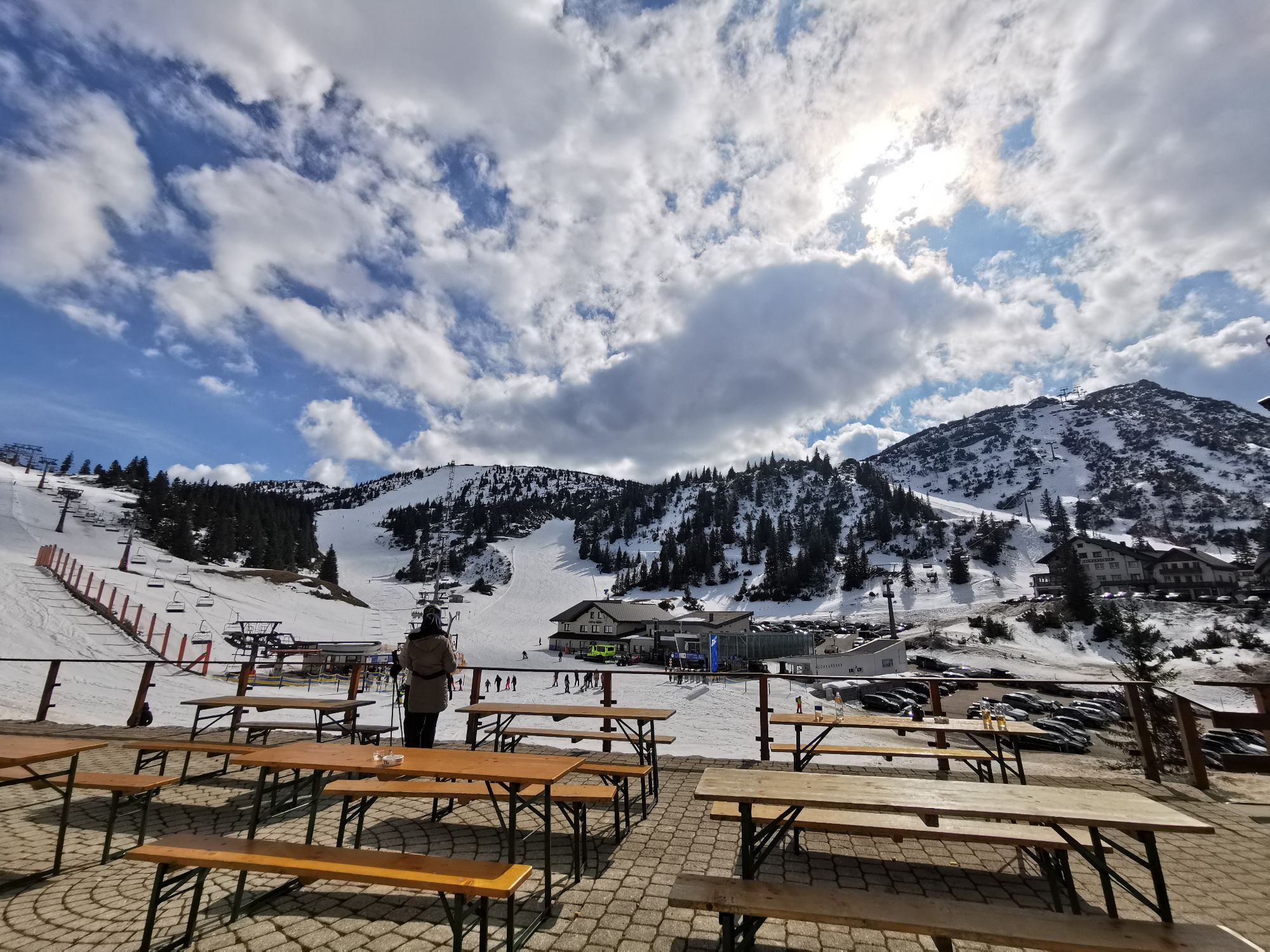
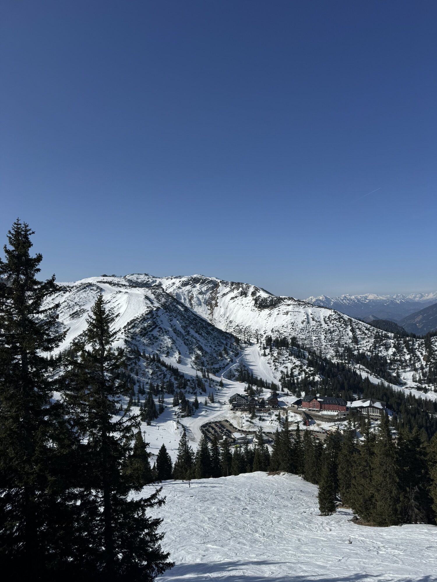
From Lackenhof, the trail leads over the Riffelsattel into Langau. Via the Herrenalm (temporarily closed), the trail leads up to the mighty Dürrenstein, the highest point of the route. Following the ridge, you cross Sonnstein, Hochkirch, Gamskogel and Schwarzkogel and reach the "Göstling-Hochkar" trail running area at Ringkogel. From here, the route leads via the Schwarzalmhütte to the Hochkar.

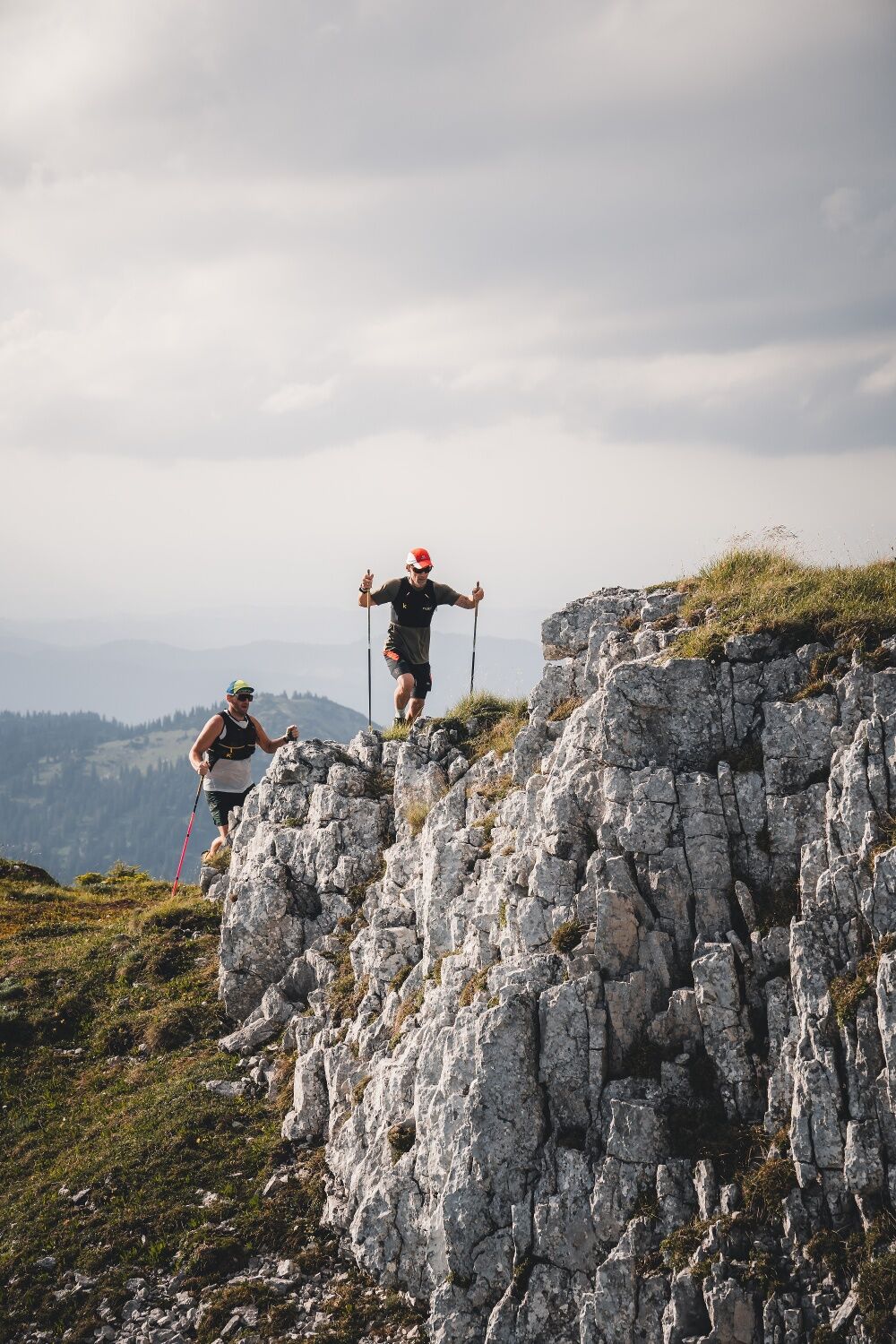
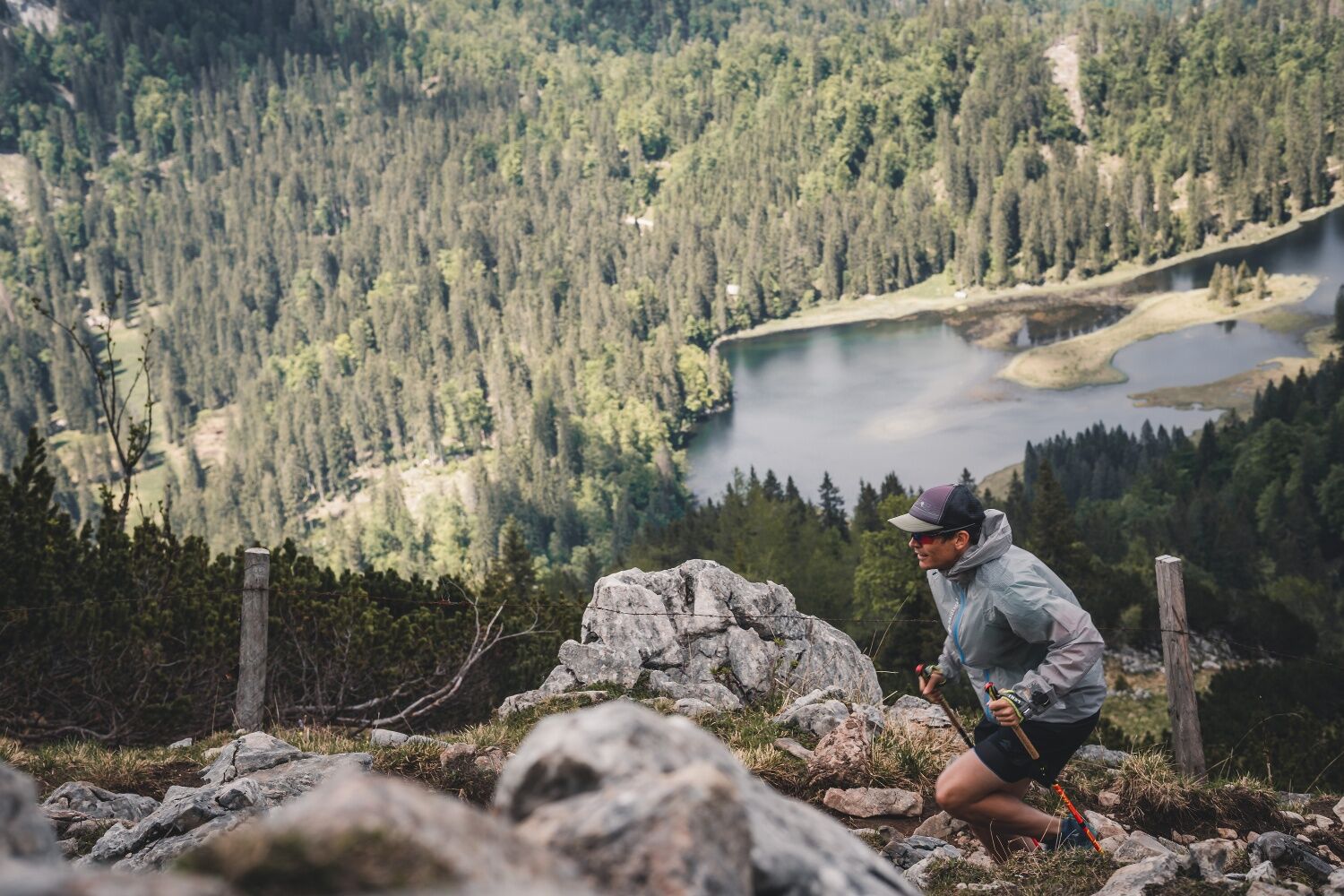

Trail running shoes, possibly poles. Trail running backpack with provisions and first aid kit, rescue blanket, mobile phone, rain and sun protection.
High alpine terrain!
1. Please avoid the trails during night and twilight hours (animal feeding times).
2. Behave quietly and attentively, avoid contact with grazing livestock.
3. Be considerate of flora and fauna and treat the people working here, nature and animals with respect.
4. Observe the general warning signs (e.g. restricted area signs). Fences must be respected and gates closed again.
5. Be cautious in extreme weather; seek shelter or turn back if necessary.
6. Please take your rubbish with you.
Tourism-IG Ybbstaler Alps
Göstling 46/2
3345 Göstling an der Ybbs
www.ybbstaler-alpen.at/trailrunning
43-5-93049
Alternatively as a 2-day route with a detour including an overnight stay at the Ybbstalerhütte (reservation absolutely required!)
Webové kamery z prehliadky
Získajte prehľad
Vždy naživo na mieste s viac ako 9 500 webovými kamerami. bergfex Ako používateľ Pro si teraz môžete pozrieť príslušné webové kamery pre mnohé zájazdy v aplikácii zájazdy z. Môžete si tak priamo prezerať aktuálne podmienky.
Obľúbené výlety v okolí
-
4,4
Das 3 Seen-Erlebnis (Lunzer See - Mittersee - Obersee)
strednáTuristika 9,33 km -
4,6
Hochkar - Schmalzmauer - Geißhöhe - Ringkogel - Schwarzalmhütte - Brunneckerhütte
strednáTuristika 13,2 km -
4,3
Rund um den smaragdgrünen Lunzer See
svetloTuristika 4,80 km -
4,7
Gemeindealpe
strednáTuristika 13,5 km -
5,0
Von Lackenhof auf den Ötscher
svetloTuristika 5,29 km -
4,9
Panoramic summit Maiszinken - alpine experience included
strednáTuristika 12,6 km -
4,9
Lackenhof ÖTSCHER Rauer Kamm 19.10.2014
ťažkéTuristika 14,1 km -
4,7
Erlaufsee-Rundweg
svetloTuristika 5,37 km -
4,5
Lechner Graben - Ybbstaler Hütte
strednáTuristika 14,2 km -
4,5
Gföhler Alm - Rainstock - Schleierfall
strednáTuristika 13,6 km

Turistika a stopovanie


Nenechajte si ujsť ponuky a inšpiráciu na ďalšiu dovolenku
Vaša e-mailová adresa bol pridaný do poštového zoznamu.





