






Steingrabenkreuz-Runde

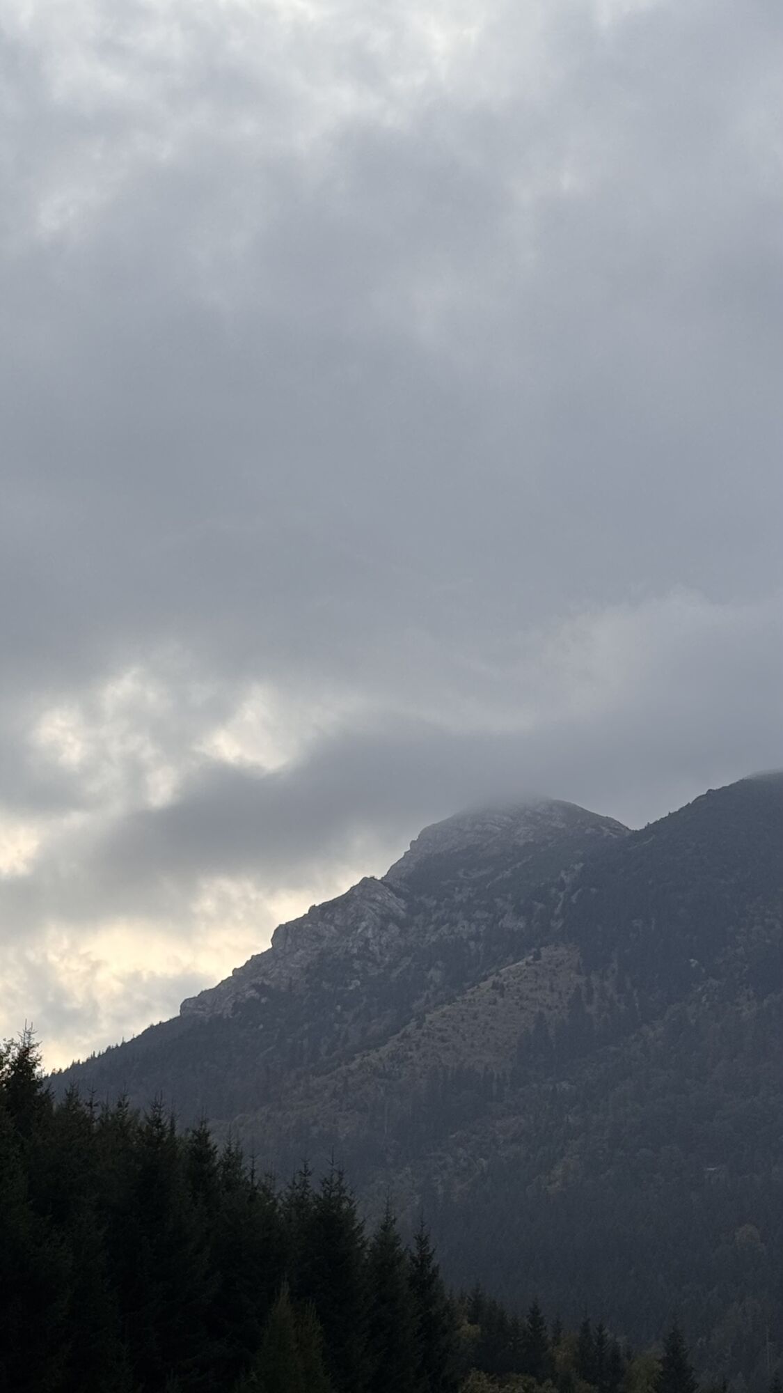
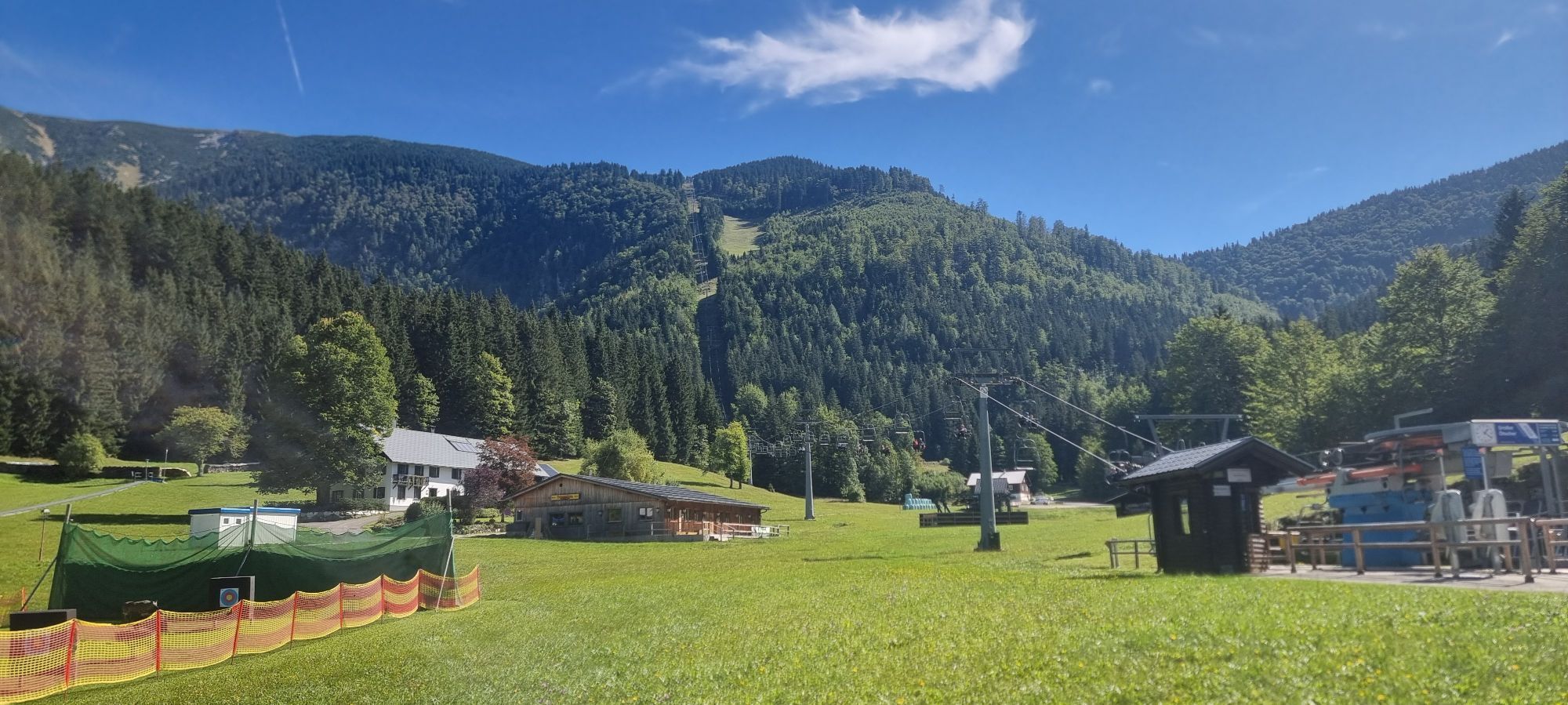

From the starting point, the route first takes you via Bockhörner on a long, constantly steep climb through the forest to Steingrabenkreuz. Continue in the direction of the stalactite cave in the Schönwald...
From the starting point, the route first takes you via Bockhörner on a long, constantly steep climb through the forest to Steingrabenkreuz. Continue in the direction of the stalactite cave in the Schönwald forest. After the highest point, the route descends on forest roads - initially steeper, later undulating - and with one or two singletrail delicacies via Raneck back to Lackenhof.

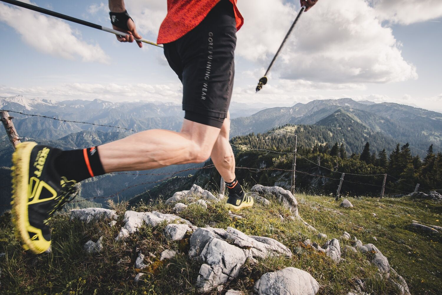

Trail running shoes, possibly trail running poles. Trail running backpack with snacks and a first-aid kit, emergency blanket, cell phone, and protection from rain and sun.
High-alpine terrain!
1. Please avoid the trails during nighttime and twilight hours (when the animals are foraging).
2. Remain calm and mindful; avoid contact with grazing livestock.
3. Be considerate of the flora and fauna, and treat the people working here, nature, and the animals with respect.
4. Pay attention to general warning signs (e.g., “Restricted Area” signs). Observe fences and close gates behind you.
5. Exercise caution during extreme weather; seek shelter or turn back if necessary.
6. Please take your trash with you when you leave.
Ybbstaler Alps Tourism Association
Göstling 46/2
3345 Göstling on the Ybbs
www.ybbstaler-alpen.at/trailrunning
info@ybbstaler-alpen.at
43-5-93049
After the hike, take the lift up to the Ötscherschutzhaus for a well-deserved snack!
Webové kamery z prehliadky

Obľúbené výlety v okolí
-
4,4
Das 3 Seen-Erlebnis (Lunzer See - Mittersee - Obersee)
strednáTuristika 9,33 km -
4,3
Rund um den smaragdgrünen Lunzer See
svetloTuristika 4,80 km -
4,7
Gemeindealpe
strednáTuristika 13,5 km -
5,0
Von Lackenhof auf den Ötscher
svetloTuristika 5,29 km -
4,9
Lassingfall - Ötscherhias - Erlaufklause
strednáTuristika 8,20 km -
4,9
Lechnergraben-Grünloch-Ybbstalerhütte
svetloTuristika 9,72 km -
4,9
Lackenhof ÖTSCHER Rauer Kamm 19.10.2014
ťažkéTuristika 14,1 km -
4,8
Naturpark Ötscher-Tormäuer Wienerbruck
svetloTuristika 6,06 km -
4,7
Trefflingfall über Hochbärneckhütte
strednáTuristika 12,2 km -
4,7
Erlaufsee-Rundweg
svetloTuristika 5,37 km
Turistika a stopovanie


Nenechajte si ujsť ponuky a inšpiráciu na ďalšiu dovolenku
Vaša e-mailová adresa bol pridaný do poštového zoznamu.





