


Geisbuehel route
Fotografie našich používateľov
-

 © chrimVytvorené dňa 21.03.2026
 -

 © Elisabeth RossaVytvorené dňa 15.11.2025
 -
 © greinerinVytvorené dňa 09.11.2025
 -
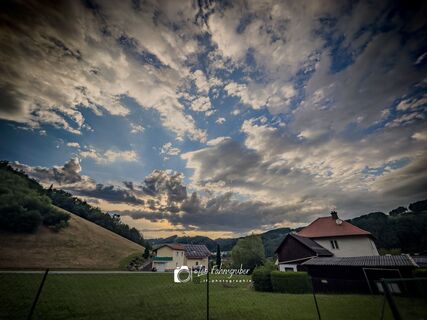
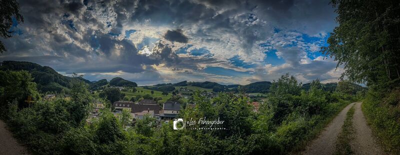
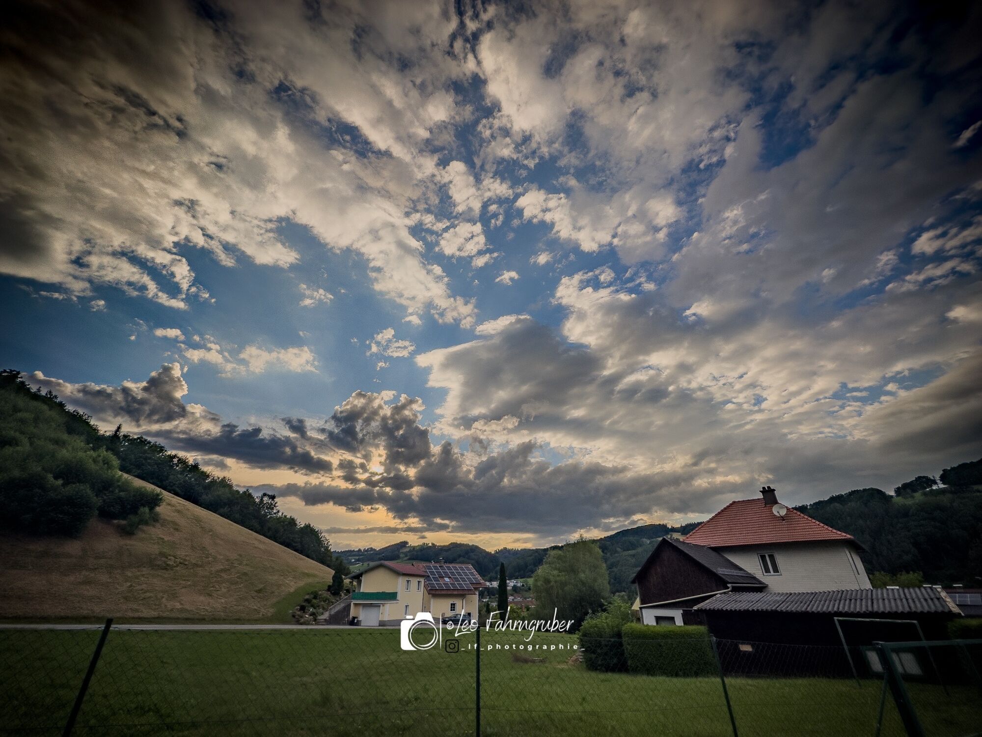
 © Leo FahrngruberVytvorené dňa 11.05.2025
 -
 © Helmut WindbrechtingerVytvorené dňa 24.03.2025
 -
 © Helmut WindbrechtingerVytvorené dňa 24.03.2025
 -
 © Helmut WindbrechtingerVytvorené dňa 24.03.2025
 -
 © Helmut WindbrechtingerVytvorené dňa 24.03.2025
 -
 © Helmut WindbrechtingerVytvorené dňa 24.03.2025
 -
 © Christian KakuskaVytvorené dňa 07.03.2025
 -

 © Christian stergerVytvorené dňa 29.12.2024
 -
 © Christian stergerVytvorené dňa 29.12.2024
 -
 © Christian stergerVytvorené dňa 29.12.2024
 -
 © Christian stergerVytvorené dňa 29.12.2024
 -
 © Christian stergerVytvorené dňa 29.12.2024
 -
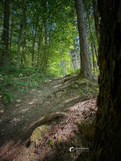
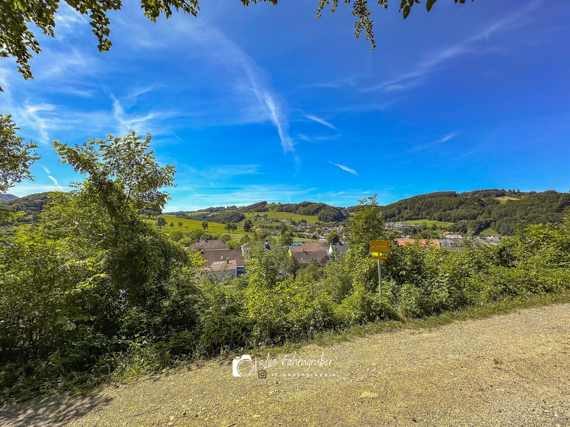
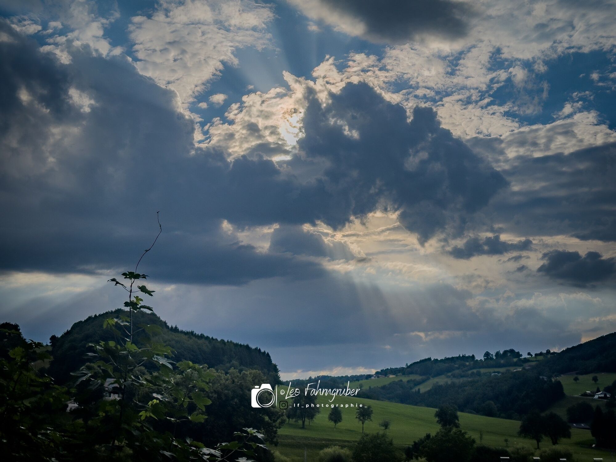
 © Leo FahrngruberVytvorené dňa 05.07.2024
 -
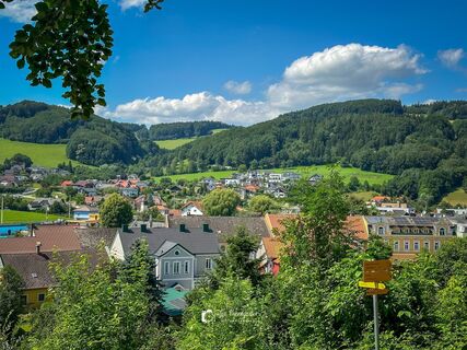
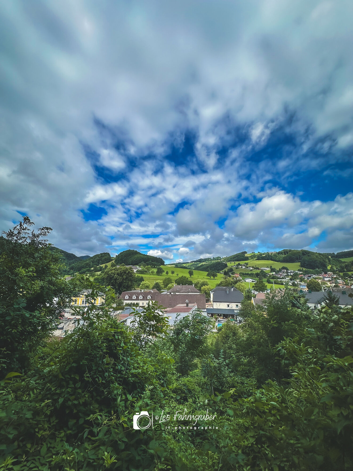
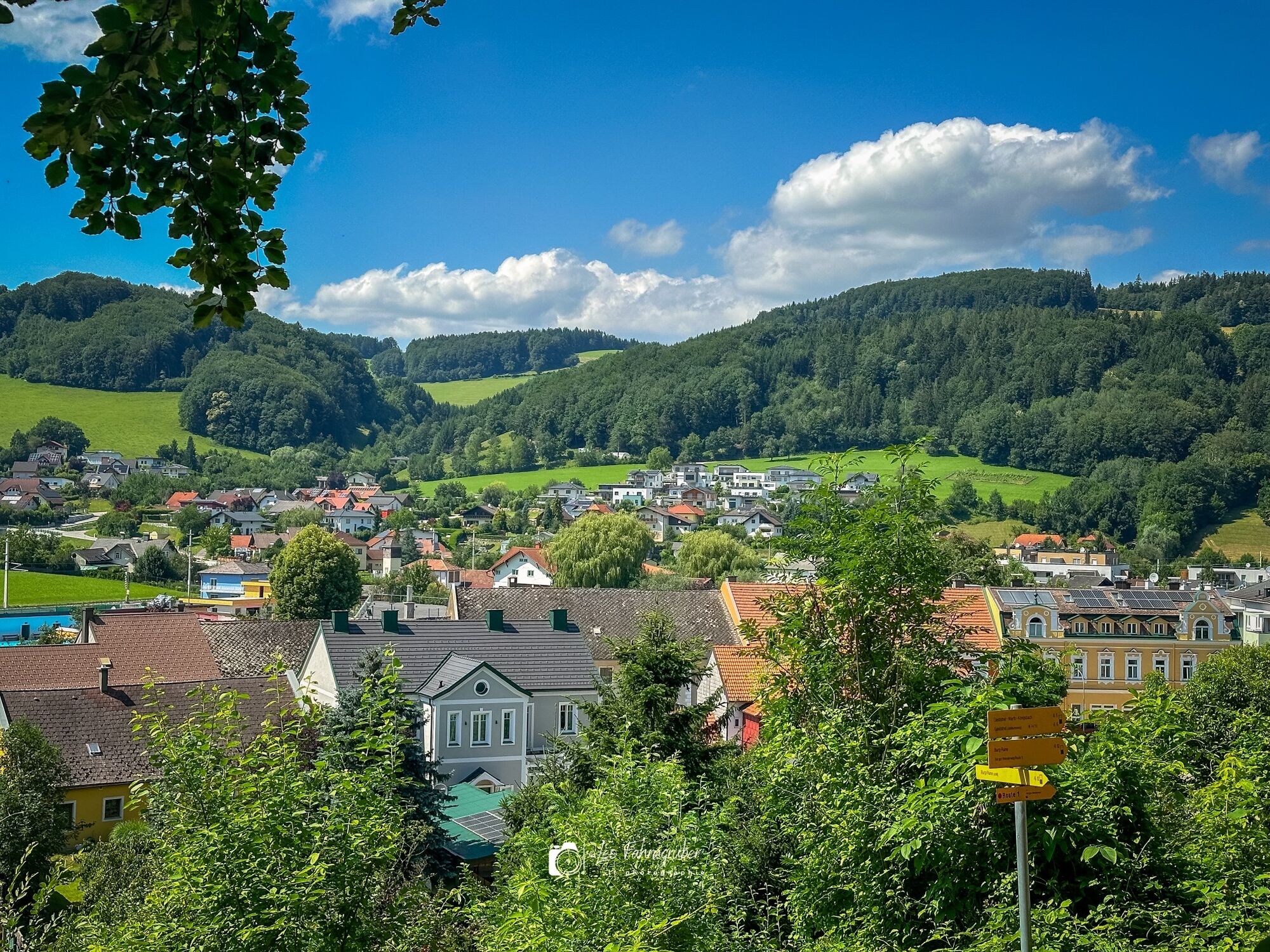
 © Leo FahrngruberVytvorené dňa 04.07.2024
 -
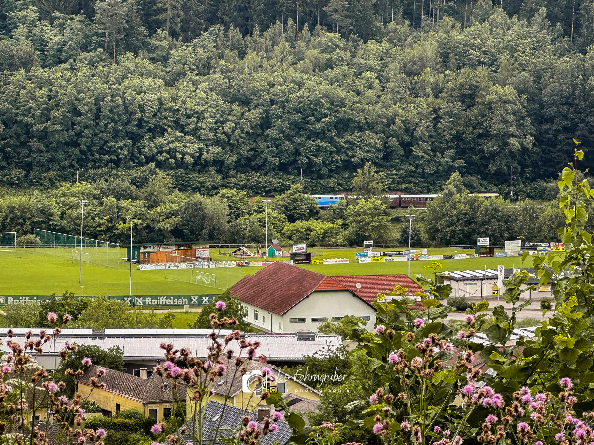
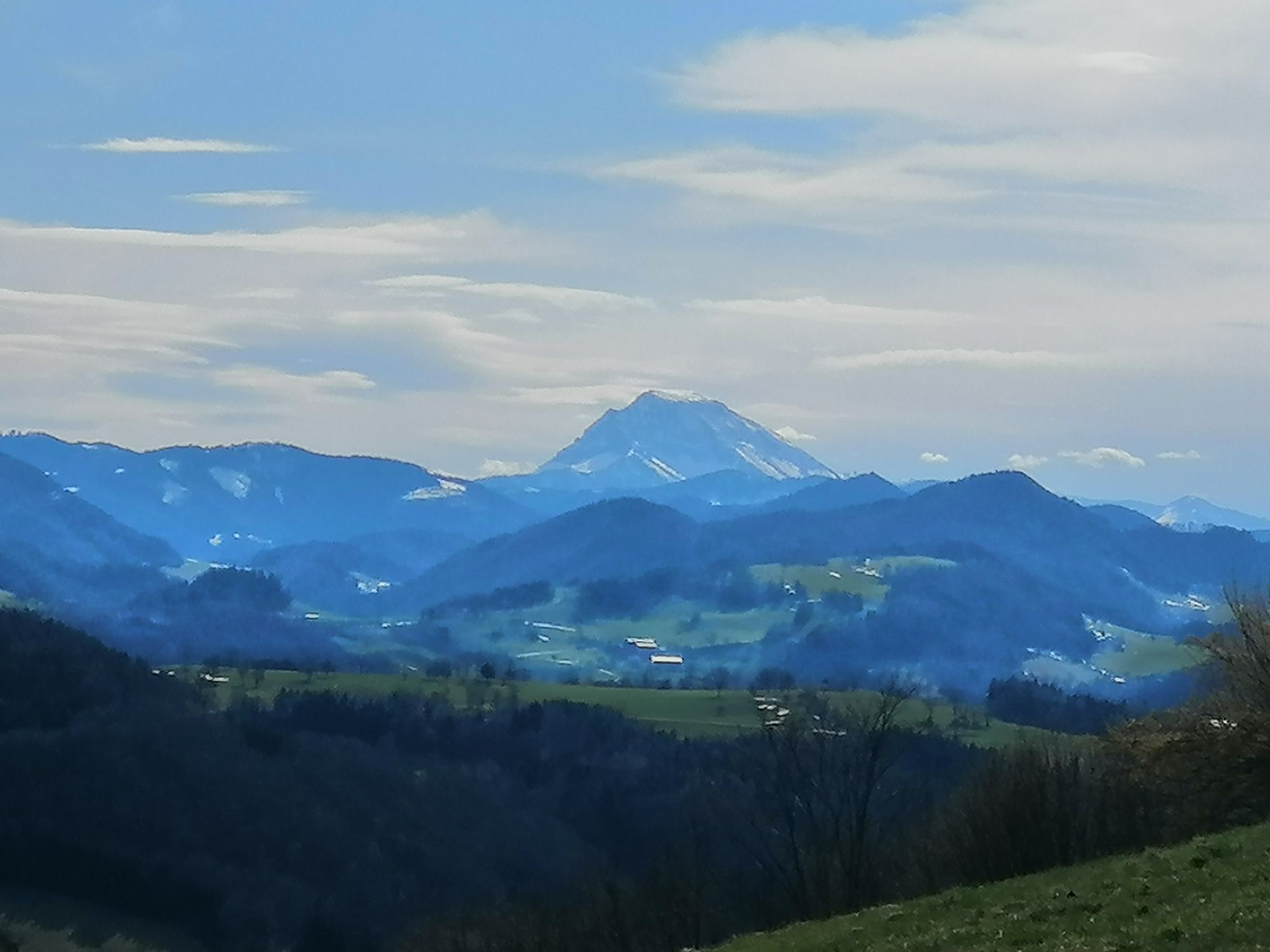
 © Leo FahrngruberVytvorené dňa 03.07.2024
 -
 © Leo FahrngruberVytvorené dňa 30.06.2024
 -
 © Leo FahrngruberVytvorené dňa 30.06.2024
 -
 © Leo FahrngruberVytvorené dňa 30.06.2024
 -
 © Leo FahrngruberVytvorené dňa 24.06.2024
 -
 © Leo FahrngruberVytvorené dňa 24.06.2024
 -
 © Christina TurnwaldVytvorené dňa 11.04.2021
 -
 © Christina TurnwaldVytvorené dňa 11.04.2021
 -
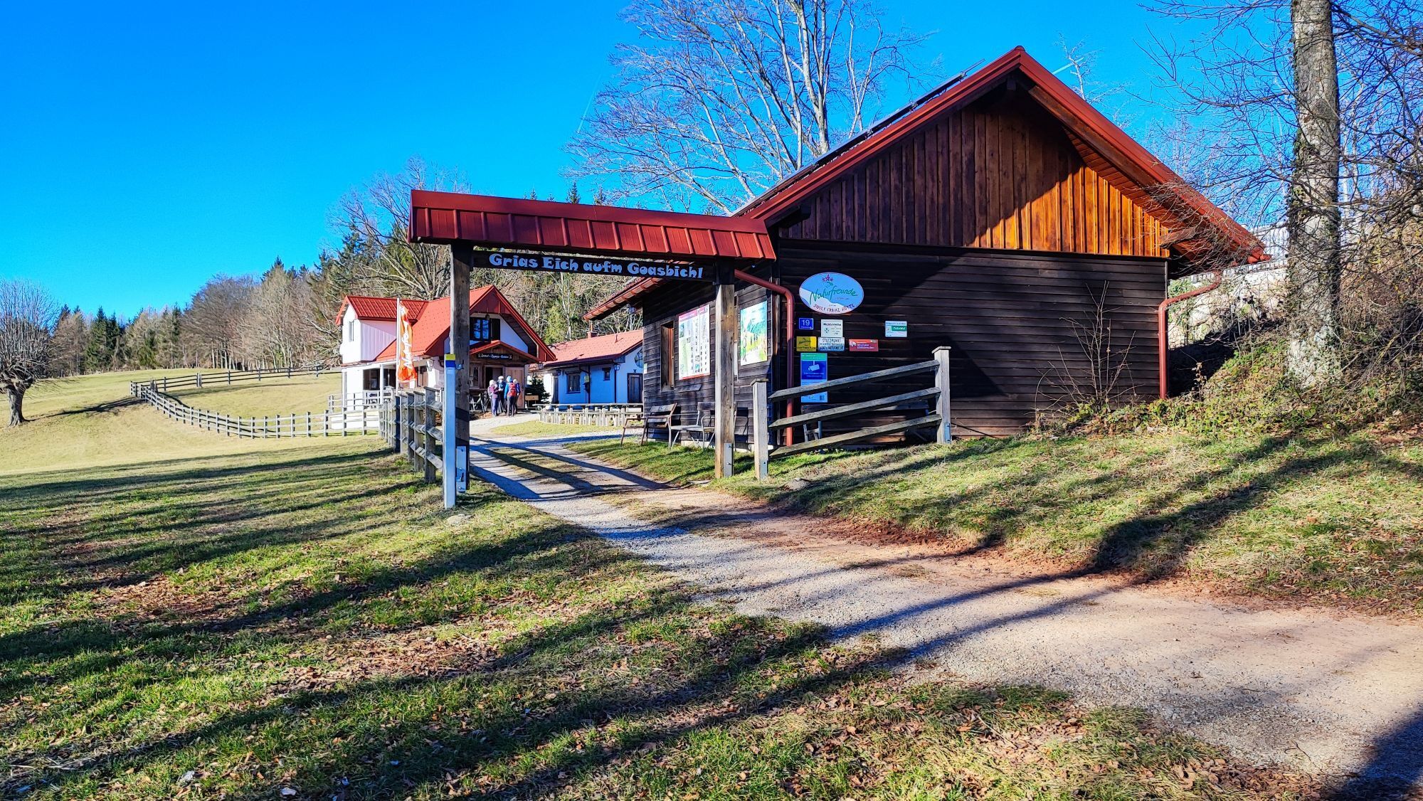
 © Leo FahrngruberVytvorené dňa 20.12.2020


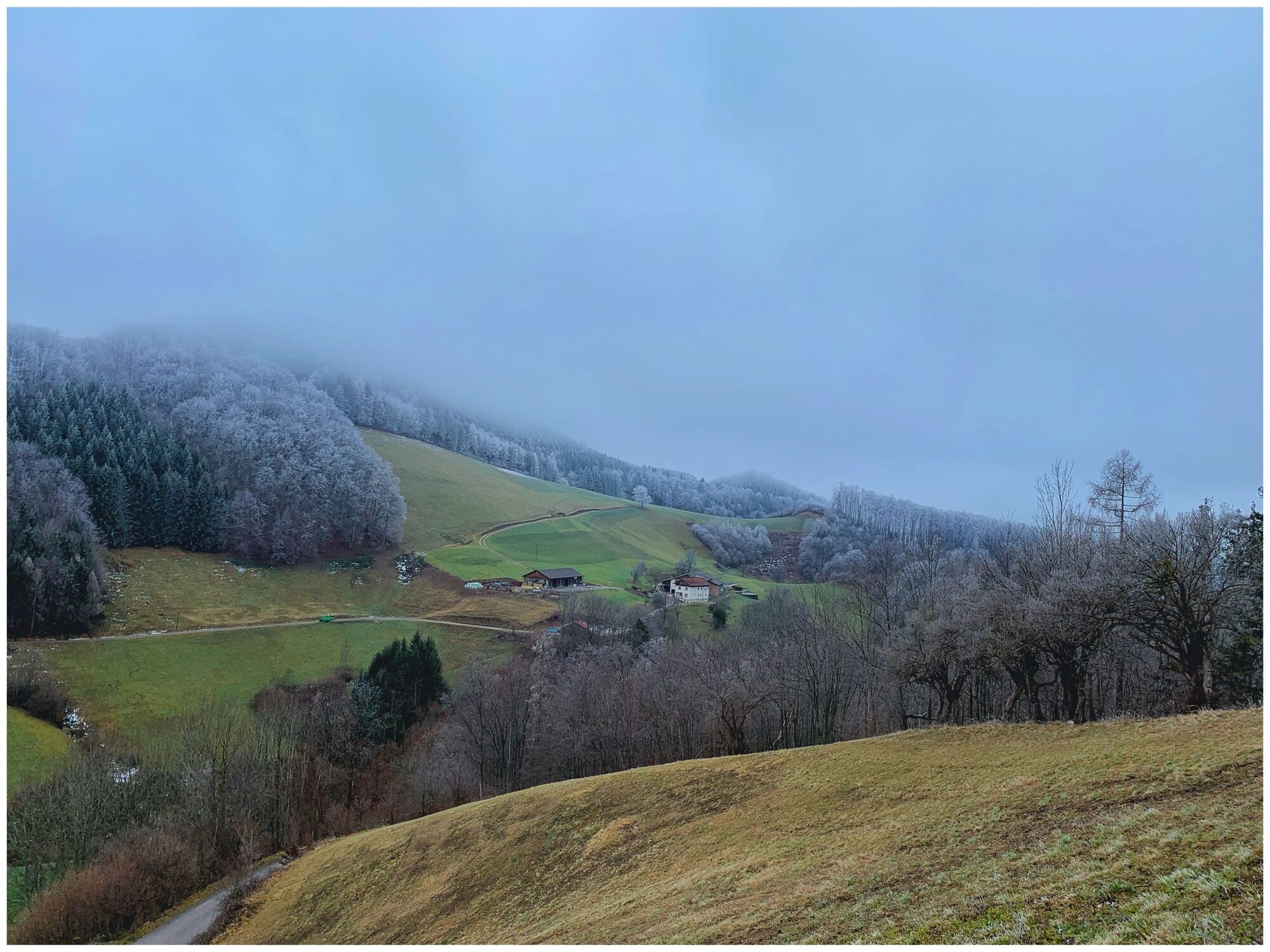
The Geisbühel route leads to the right along the Pielachtal cycle path through the center of Rabenstein to Warth. Then take the L 107 to Tradigist. In the center of Tradigist, turn left in the direction...
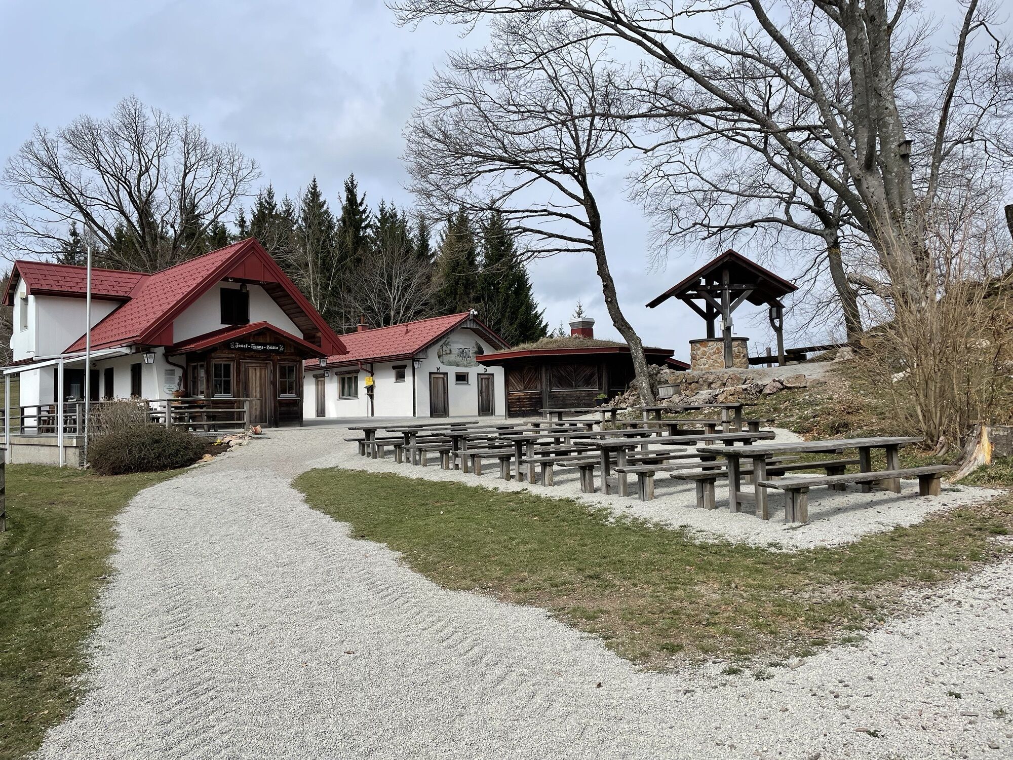
The Geisbühel route leads to the right along the Pielachtal cycle path through the center of Rabenstein to Warth. Then take the L 107 to Tradigist. In the center of Tradigist, turn left in the direction of Eschenau and continue along the "Unter-Zögernitz" goods road past the farm of the same name, where a steep climb begins to the "Geisbühel-Rabenstein" junction at the Marterl.Option 1: a challenging ascent to the left to the "Josef-Franz Huts" Option 2: right via the "Röhrenbach" goods road back to Rabenstein station.
The route should only be undertaken with a fully functional mountain bike.
Please note the winter closure of this and all other MTB trails in the Mostviertel from November 1 to April 14.
Thank you for your understanding!
From Linz: A1 motorway, exit St. Pölten South, turn right onto Mariazeller Bundesstraße B20, turn right again onto Pielachtal Bundesstraße B39, straight ahead to Rabenstein an der Pielach
From Vienna: A1 motorway, exit St. Pölten South, turn right onto Mariazeller Bundesstraße B20, turn right again onto Pielachtal Bundesstraße B39, straight ahead to Rabenstein an der Pielach
By train: Westbahn to St. Pölten, Mariazellerbahn to Rabenstein an der Pielach
Mariazellerbahn
Rabenstein an der Pielach train station
Cultural sights:
the culturally significant ruins
the late Gothic parish and baptismal church of Dr. Franz Cardinal König
the natural gardens around the “Steinschalerhof” hotel
the “NatUr” forest in the “Climate Alliance” (since 1997) and FAIRTRADE (since 2010) community of Rabenstein an der Mariazellerbahn.
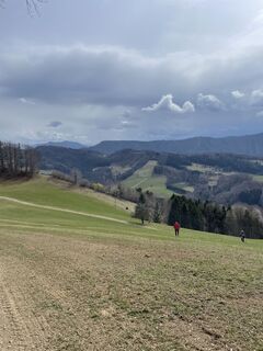
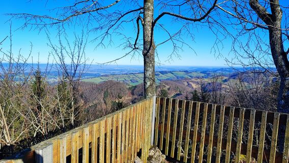
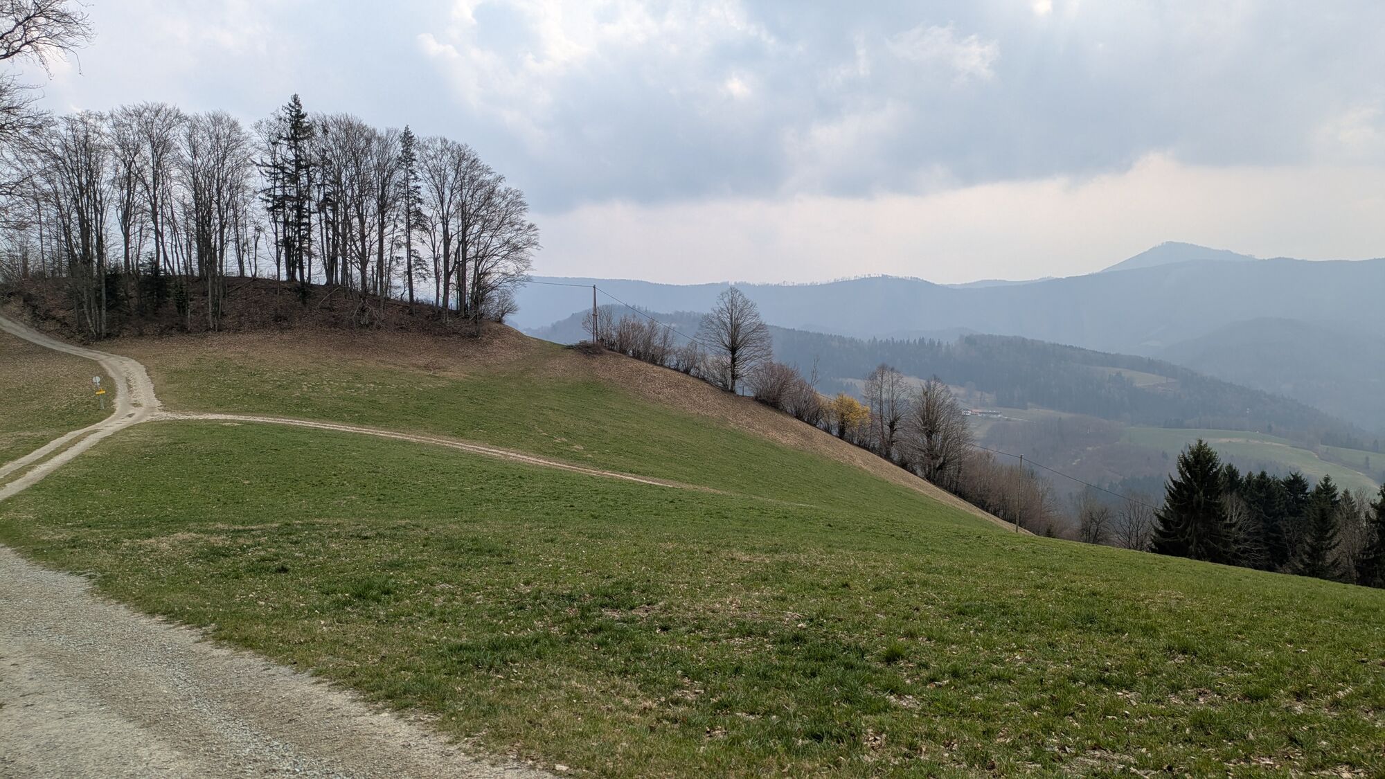
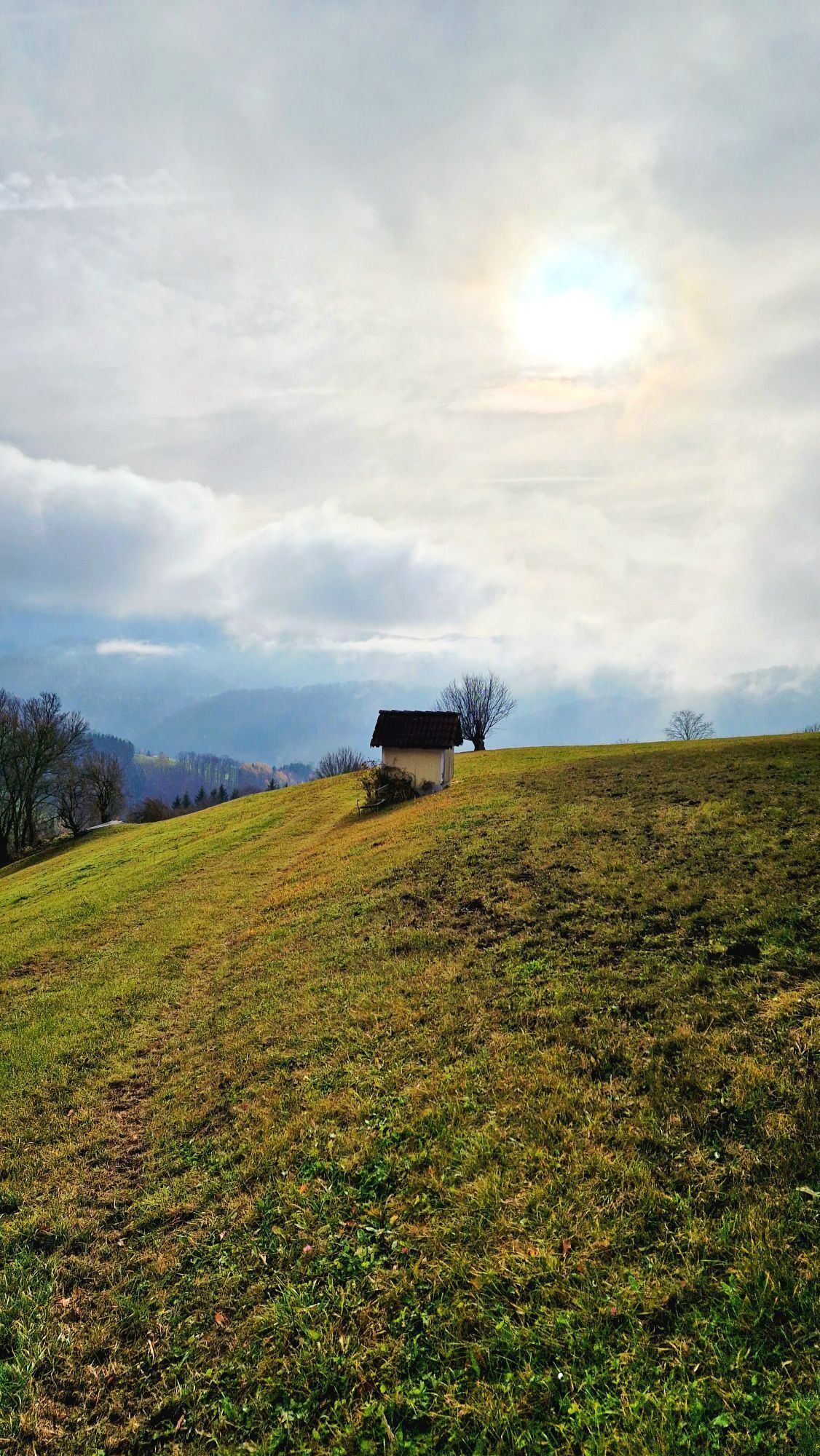
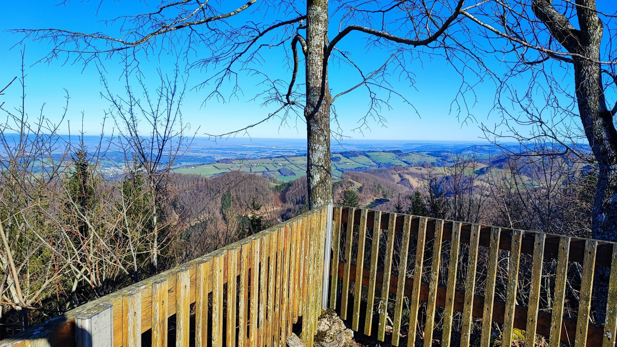
Hiking on the Geisbühel
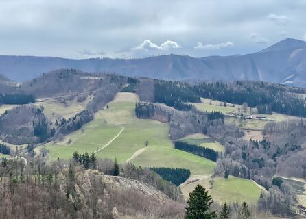
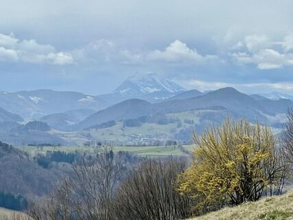
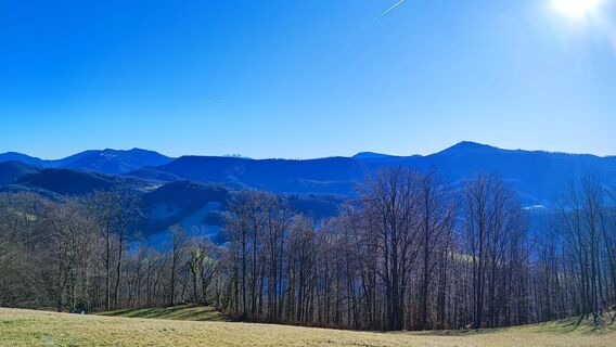
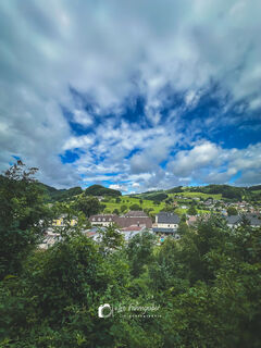
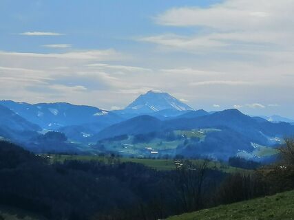
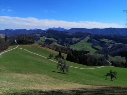
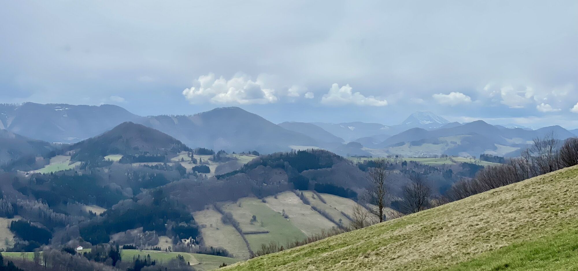
A hike up the 849 m high Geisbühel (Josef Franz Hut), passing the castle ruins (495 m), is a worthwhile destination for a day trip. From there you enjoy a magnificent view over the foothills with the distinctive silhouette of the Ötscher. Rabenstein is not only on the “Great Pielachtal circular trail 652” but also the European long-distance path E4 and the pilgrimage route to Mariazell run through the municipality in the “Valley of the Cornelian cherries.”
Since 2009 a “feel-good hiking trail” complements the approximately 100 km marked hiking trail network.
More info:
Mostviertel Tourism
Töpperschloss Neubruck
Neubruck 2/10, 3283 Scheibbs
T +43/7482/204 44
info@mostviertel.at
www.mostviertel.at
Municipality of Rabenstein an der Pielach
3203 Rabenstein an der Pielach, Marktplatz 6
Tel. 02723/22 50, Fax ext. 44
gemeinde@rabenstein.gv.at
www.rabenstein.gv.at
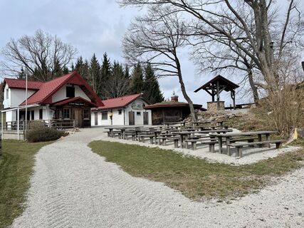
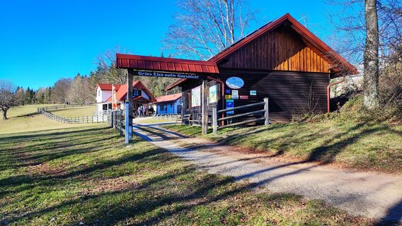
Cafe-Pub "NaUnd" - The inn is seasonally open from October 1 to May 20
Bath buffet from May 27 to September 8, 2024 and in the bathing season (in good weather) from 9:00 am – 8:00 pm
Penzenauer bakery Mon, Tue, Wed, Fri 5:30 am - 12:00 pm, 3:00 pm - 6:00 pm, Thu 5:30 am - 12:00 pm, Sat 6:00 am - 12:00 pm
Take your time to enjoy the cultural sights in and around Rabenstein!
Obľúbené výlety v okolí
-
4,9
Hohenstein von Sois
strednáTuristika 12,0 km -
4,8
Türnitz - Eisenstein Türnitz, Niederösterreich
strednáTuristika 15,5 km -
4,8
LILIENFELD Grünes Tor Muckenkogel Hinteralm Klosteralm 20201025
strednáTuristika 11,7 km -
4,6
Eisenstein Rundweg von Türnitz-Knedelhof
svetloTuristika 10,2 km -
4,5
Hohenstein 1195m - Sois im Pielachtal
svetloTuristika 10,6 km -
4,4
Kaiserkogel mit Start und Ziel in Eschenau
svetloTuristika 10,2 km -
4,5
Rundweg Ochsenburgerhütte
svetloTuristika 7,60 km -
4,2
Grüntalkogelhütte
svetloTuristika 5,11 km -
4,3
Lilienfeld Kolm Hinteralm Traisenhütte 20.02.2017 leichte Schitour
svetloSkitour 11 km -
4,8
Schrambach Hohenstein Himmel Schrammbach 06.08.2016
strednáTuristika 17 km

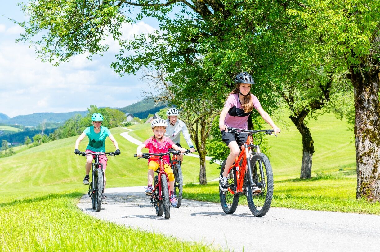
Turistika a stopovanie


Nenechajte si ujsť ponuky a inšpiráciu na ďalšiu dovolenku
Vaša e-mailová adresa bol pridaný do poštového zoznamu.