


Landsthal route
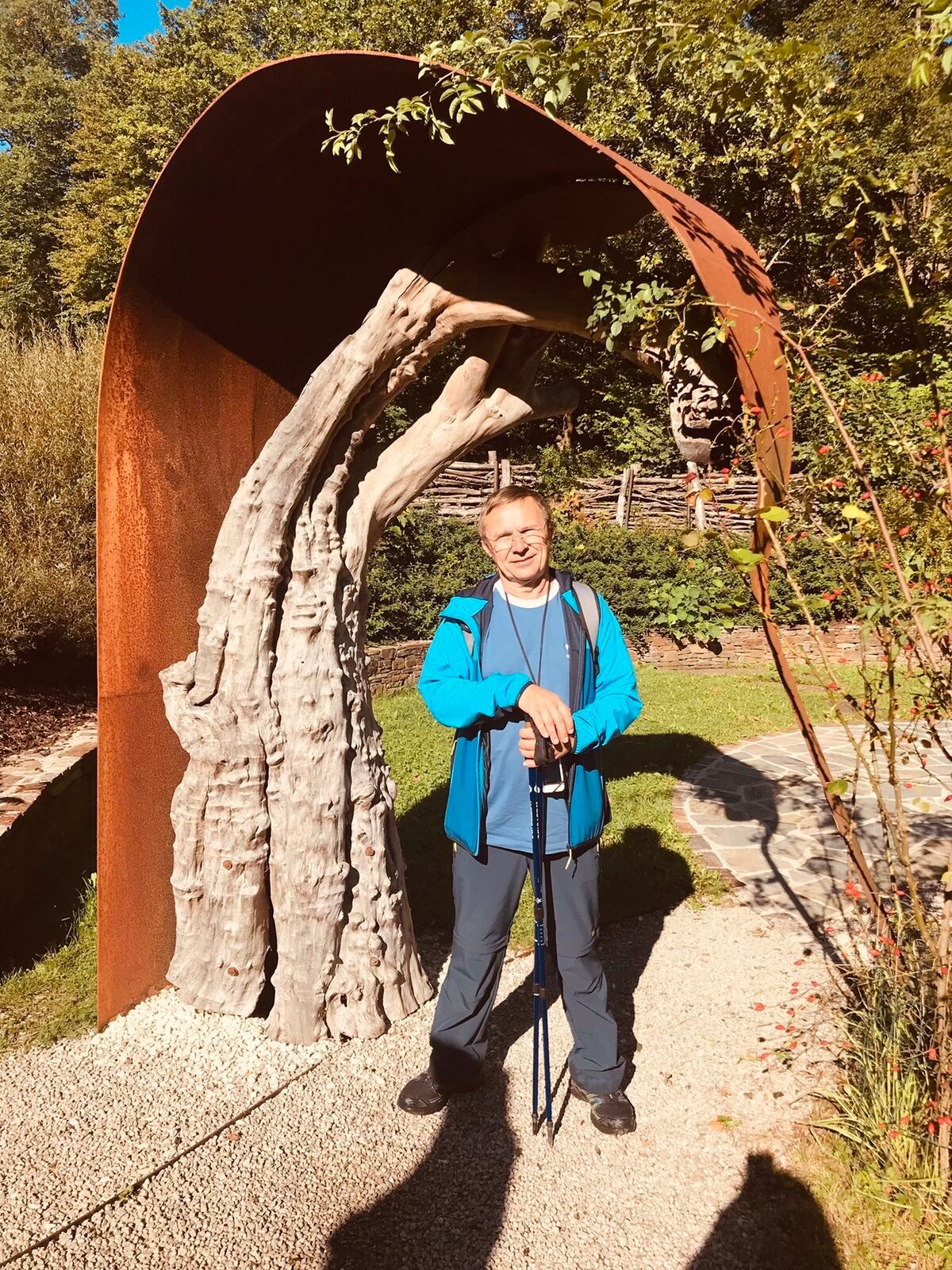
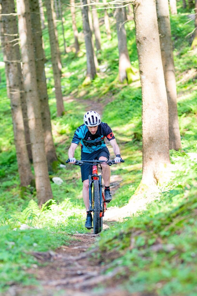
Fotografie našich používateľov
-

 © SterVytvorené dňa 30.12.2022
 -
 © SterVytvorené dňa 30.12.2022
 -
 © SterVytvorené dňa 30.12.2022
 -
 © Christian KakuskaVytvorené dňa 18.04.2026
 -
 © Christian KakuskaVytvorené dňa 18.04.2026
 -
 © Christian KakuskaVytvorené dňa 18.04.2026
 -
 © Christian KakuskaVytvorené dňa 18.04.2026
 -
 © Axel HoltzVytvorené dňa 08.03.2026
 -
 © MimiVytvorené dňa 26.12.2025
 -
 © MimiVytvorené dňa 26.12.2025
 -
 © MimiVytvorené dňa 26.12.2025
 -
 © MimiVytvorené dňa 26.12.2025
 -
 © Harald ParoubekVytvorené dňa 26.12.2025
 -
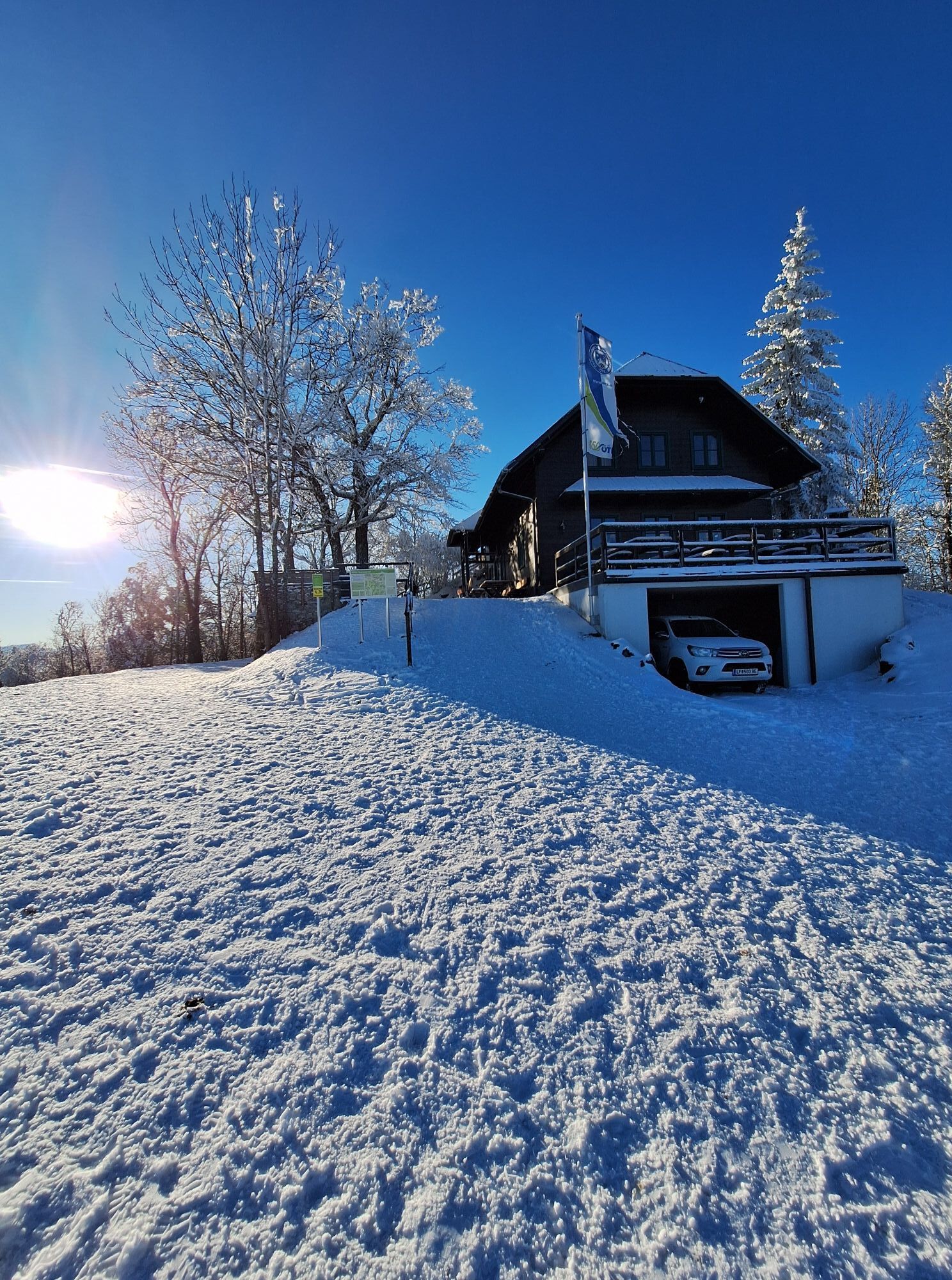
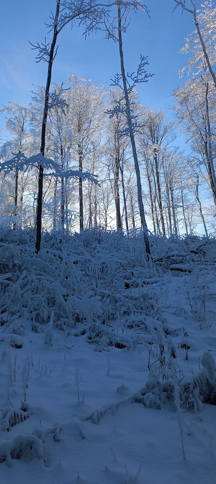
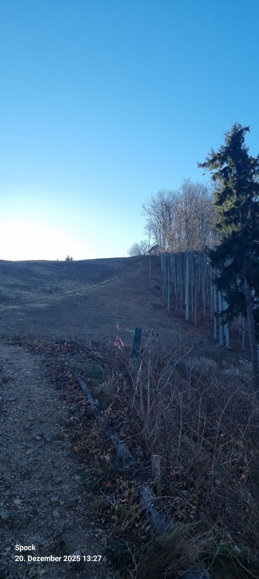
 © Mario LibardiVytvorené dňa 20.12.2025
 -
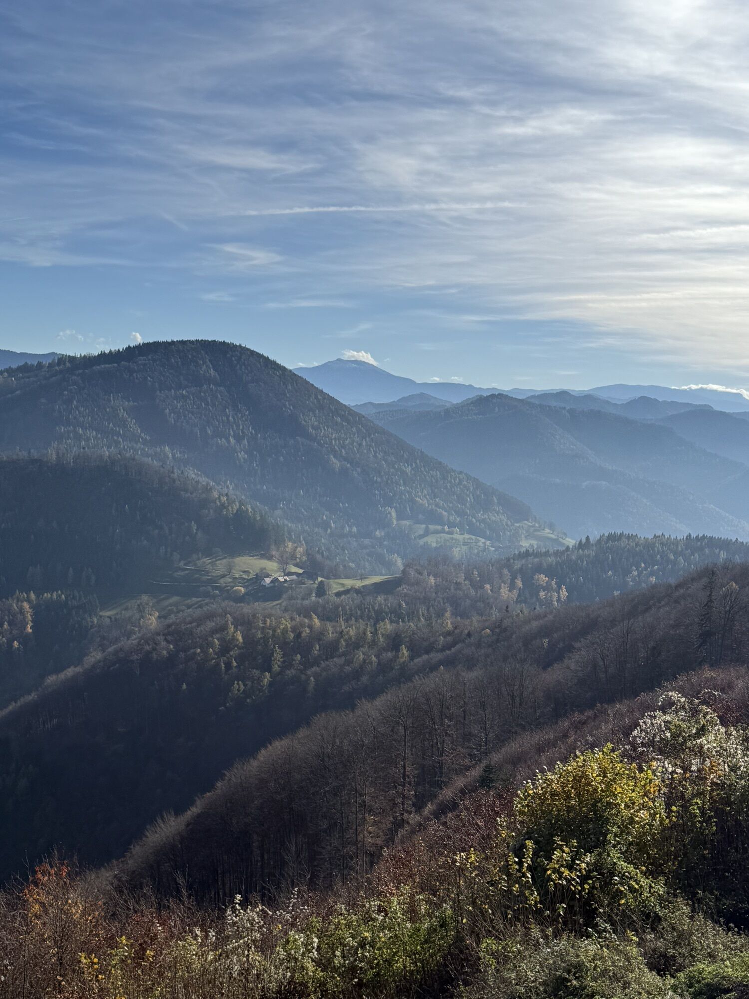
 © Anne MüllerVytvorené dňa 01.11.2025
 -
 © Anne MüllerVytvorené dňa 01.11.2025
 -
 © Helmut WolfgangVytvorené dňa 24.06.2025
 -
 © Helmut PachmanVytvorené dňa 16.04.2025
 -
 © Michael KoglerVytvorené dňa 24.11.2024
 -

 © Kellner HeidiVytvorené dňa 25.09.2021
 -
 © Kellner HeidiVytvorené dňa 25.09.2021
 -
 © Kellner HeidiVytvorené dňa 25.09.2021


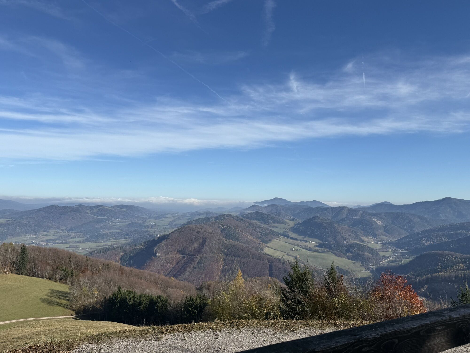


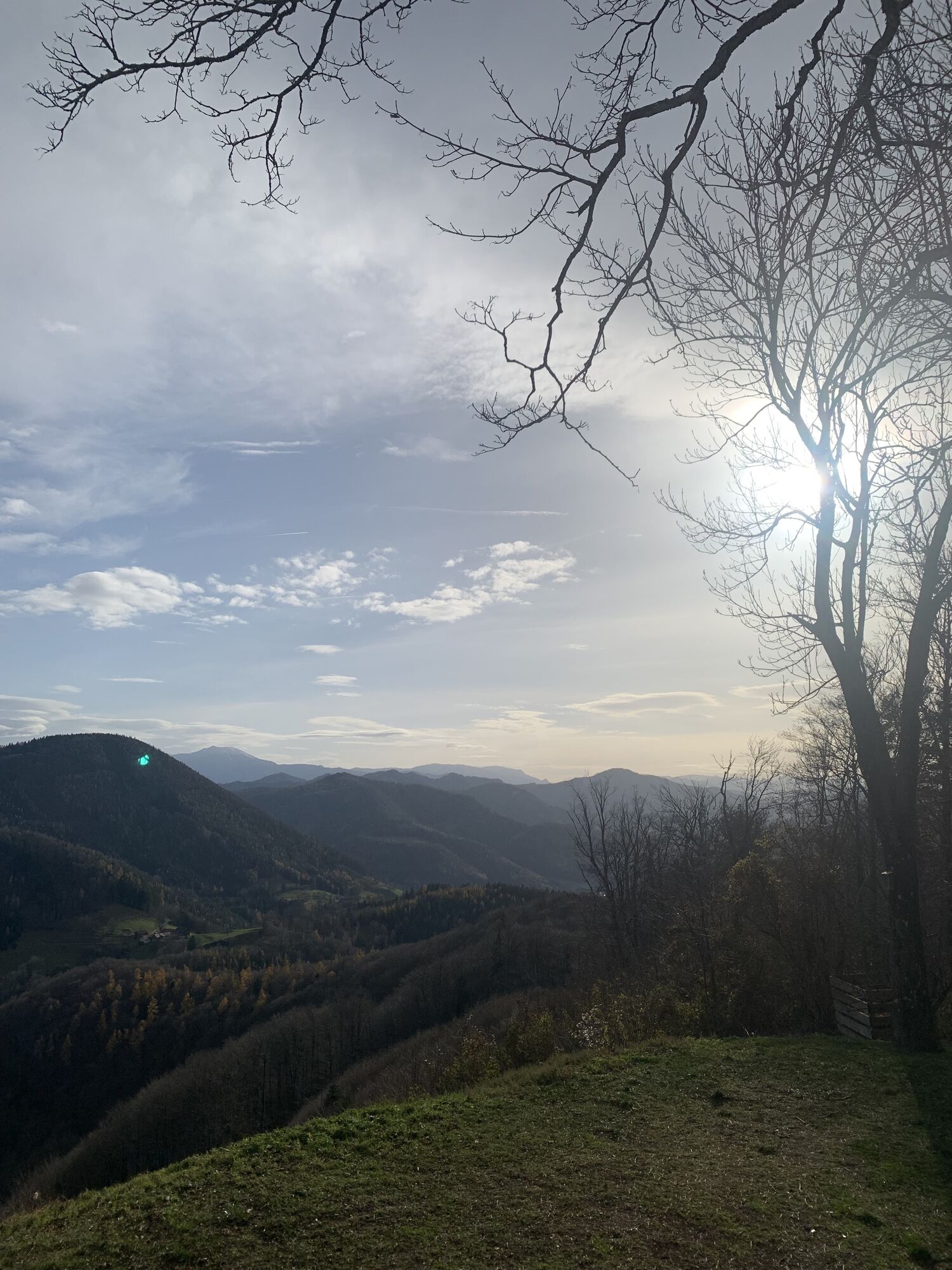
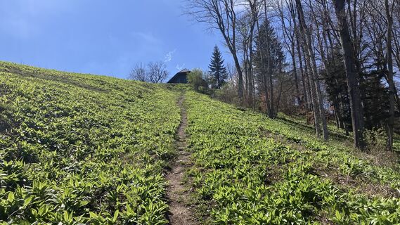
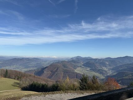
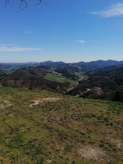
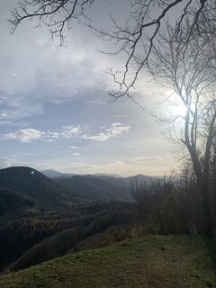
The starting point for the Landsthal route is at the Landsthal estate. From here, the route leads along the Lärchenstraße, then along part of the Fit-Aktiv-Weg with a slight incline to the Pestkreuz and...
The starting point for the Landsthal route is at the Landsthal estate. From here, the route leads along the Lärchenstraße, then along part of the Fit-Aktiv-Weg with a slight incline to the Pestkreuz and from here follows the Kirchenberg route. On the way back, the Landsthal route offers the option of a "cut-off". This is very steep over a length of approx. 430m -> ONLY DOWNHILL PERMITTED!!!

Vom Gut Landsthal führt die Route über die Lärchenstraße, weiters über einen Teil des Fit-Aktiv-Wegs mit wenig Steigung bis hin zum Pestkreuz und folgt von hier der Strecke Kirchenberg. Das sind ca. 6,4 km und rund 490 hm. Die Strecke Landsthal bietet auch die Möglichkeit eines „Abschneiders“. Dieser ist auf einer Länge von ca. 430m sehr steil, zweigt nach ca. 680 m, ausgehend vom Startpunkt Landsthal, ab und mündet in die neue Forststraße der Strecke Kirchenberg.
MTB or off-road suitable trekking bike, helmet, brake and fork check before the descent!!!
Please note the general winter closure of MTB routes in the Mostviertel from November 1 to April 15. Thank you for your understanding!
Motorway exit St. Pölten South and via B20 and B18 to Hainfeld or via motorway exit Leobersdorf and B18 to Hainfeld
ÖBB passenger trains from/to Hainfeld station (bicycle transport requires reservation and extra charge)
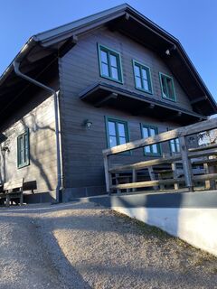
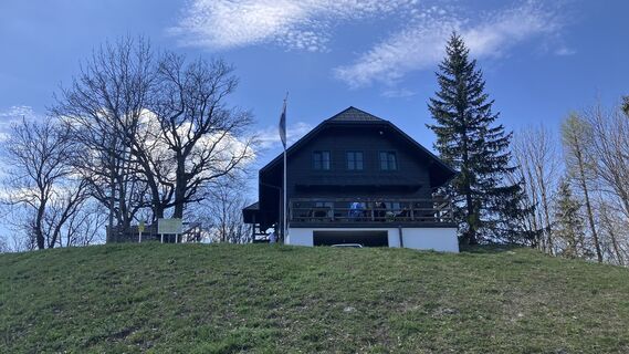
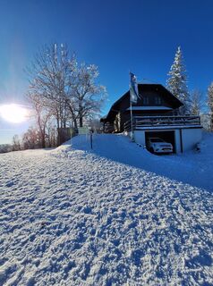
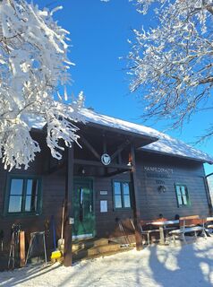
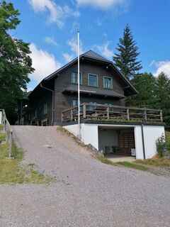
Landsthal Inn
Mostviertel Tourism GmbH
Töpperschloss Neubruck
Neubruck 2/10
3270 Scheibbs
T +43 7482 204 44
E info@mostviertel.at
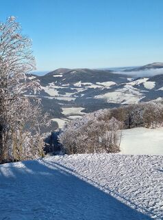
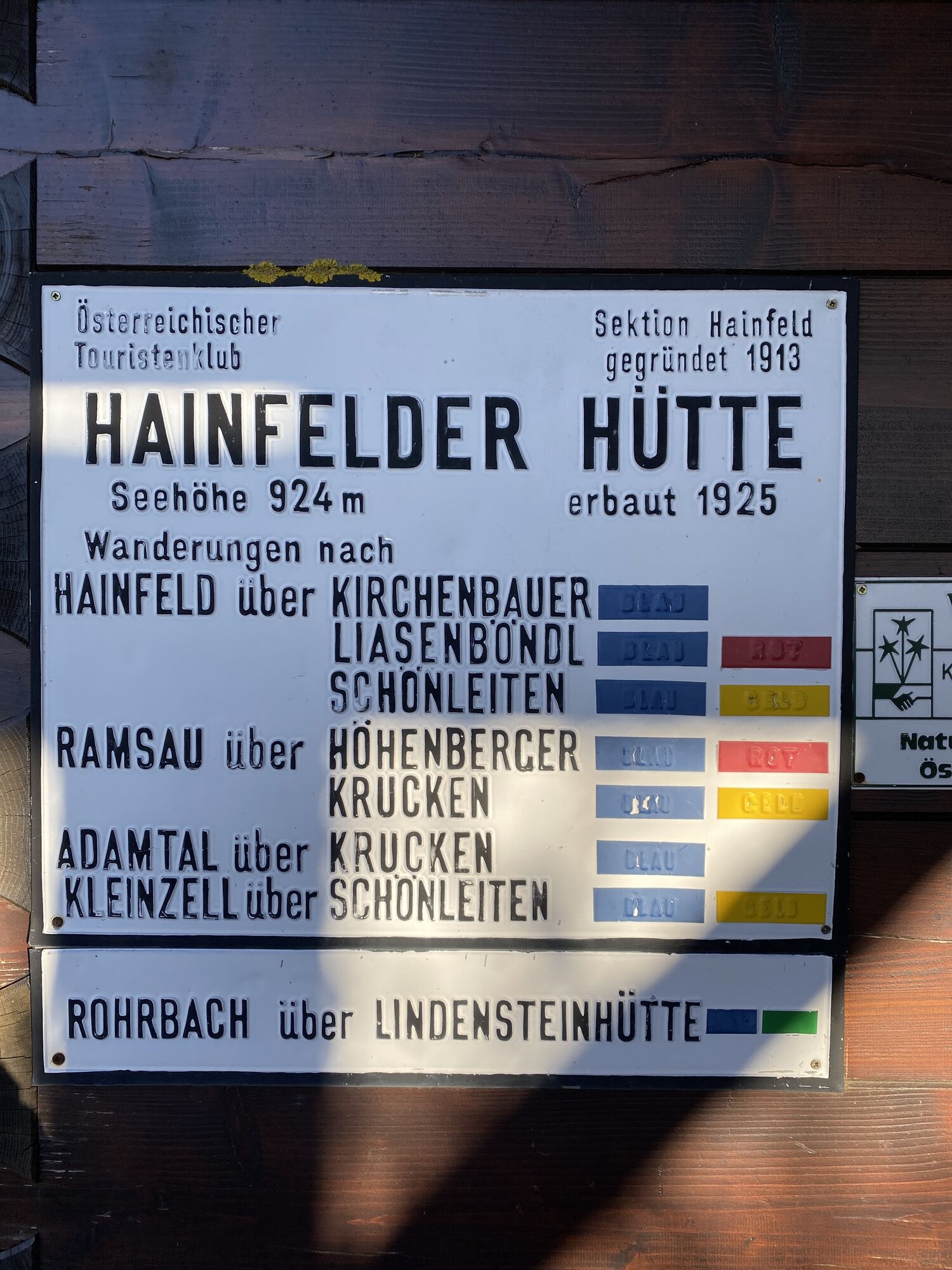
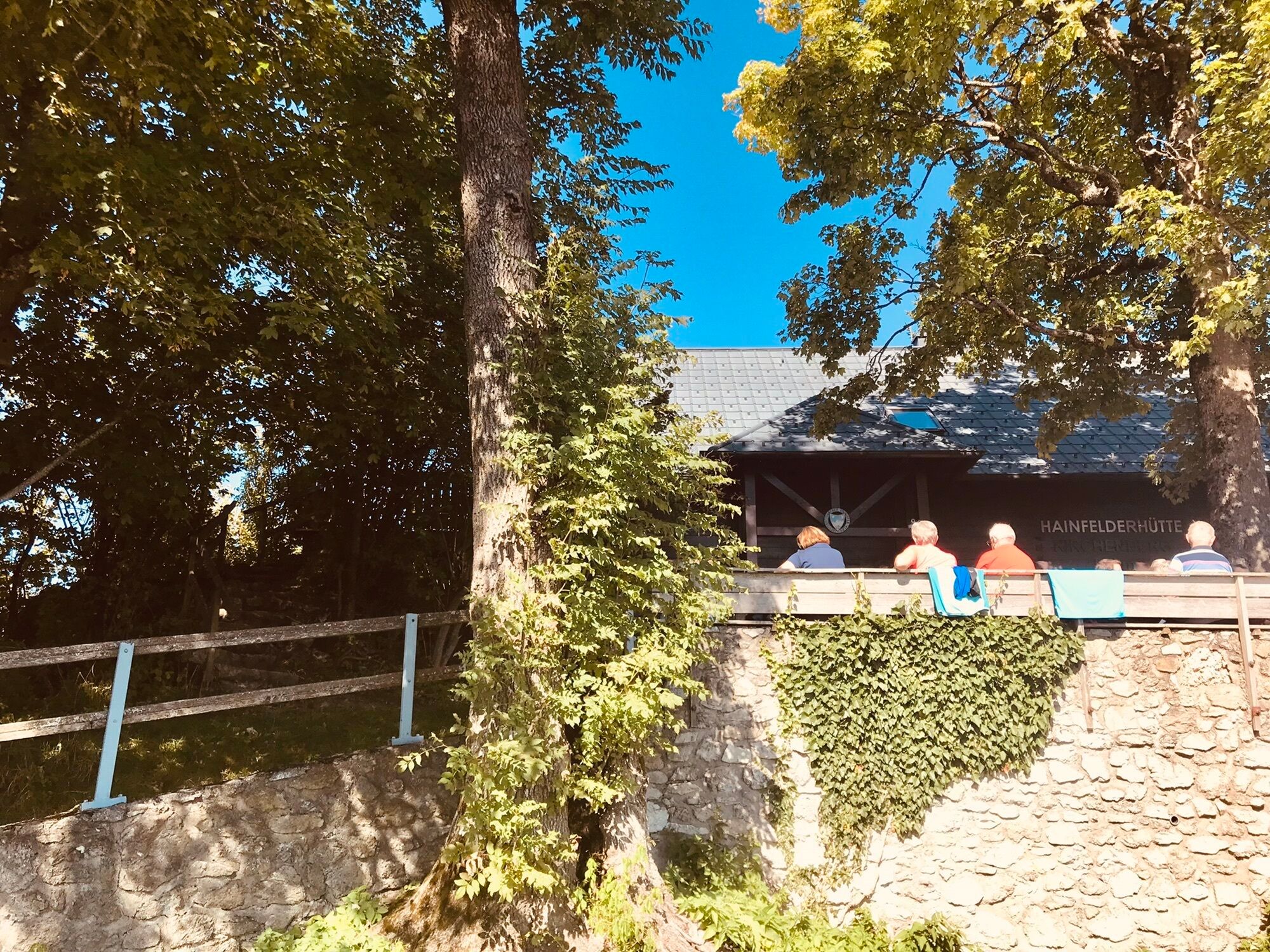
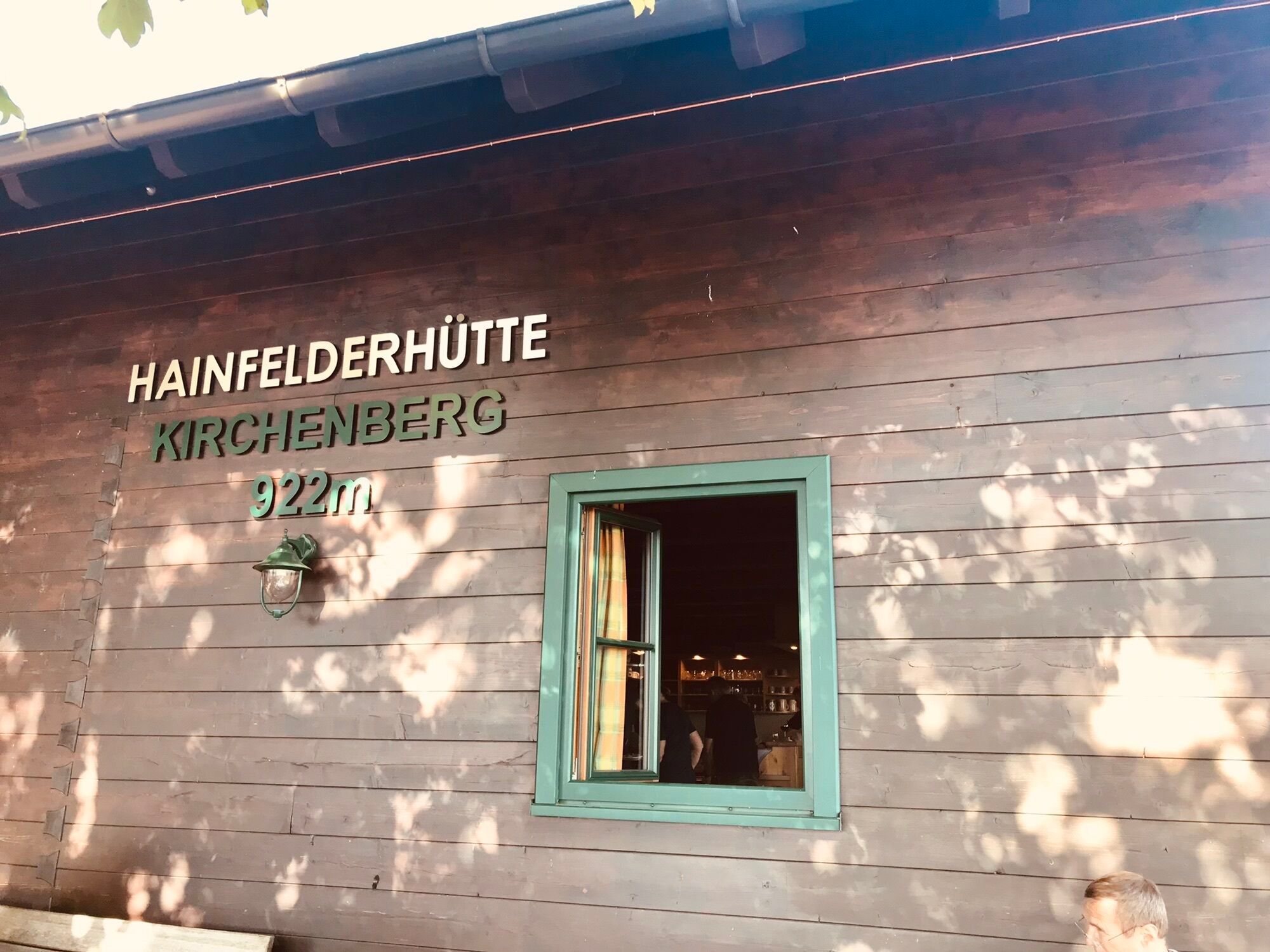
The Kirchenberg also invites you to the three-hut hike. There is also a lot to discover in Hainfeld.
Webové kamery z prehliadky

Obľúbené výlety v okolí
-
4,8
LILIENFELD Grünes Tor Muckenkogel Hinteralm Klosteralm 20201025
strednáTuristika 11,7 km -
4,7
Schöpfl
svetloTuristika 9,52 km -
4,5
Kieneck über den Enziansteig
svetloTuristika 12,6 km -
4,0
Schöpfl von Sankt Corona
strednáTuristika 10,1 km -
4,2
Hainfelder Hütte: Schöner Rundkurs abseits der Massen
svetloTuristika 10,1 km -
4,2
RAMSAU Sägewerk Wittmann Kieneck Reingupf retour 02.11.2017
strednáTuristika 14,6 km -
4,2
Unterberg vom Adamstal
strednáTuristika 14,6 km -
4,3
Lilienfeld Kolm Hinteralm Traisenhütte 20.02.2017 leichte Schitour
svetloSkitour 11 km -
4,6
Kieneck über Enziansteig & Mareschsteig
svetloTuristika 13,8 km -
5,0
Vom Parkplatz Myralucke auf den Unterberg - Angelos Touren
strednáTuristika 10,8 km
Turistika a stopovanie


Nenechajte si ujsť ponuky a inšpiráciu na ďalšiu dovolenku
Vaša e-mailová adresa bol pridaný do poštového zoznamu.