







Sonnbrand Alm route Hollenstein/Ybbs






The Sonnbrand-Almtour offers a top-class MTB experience! A leisurely start on asphalt, a long and sometimes steep gravel climb to the highest point with a fantastic 360° panoramic view of the Gesäuse and...
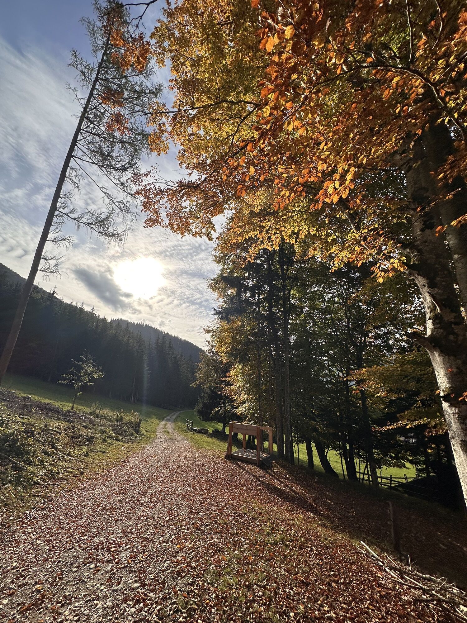
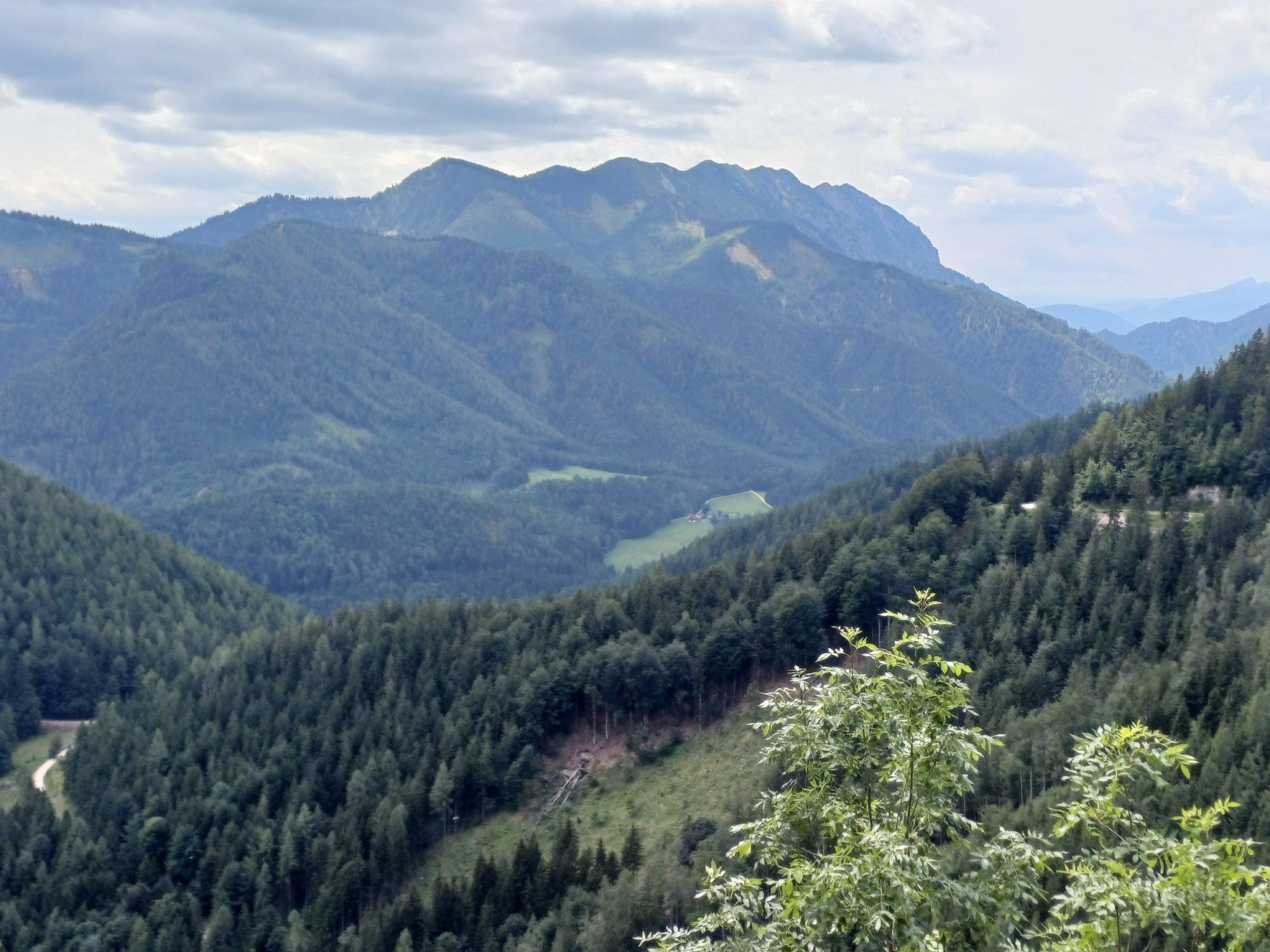
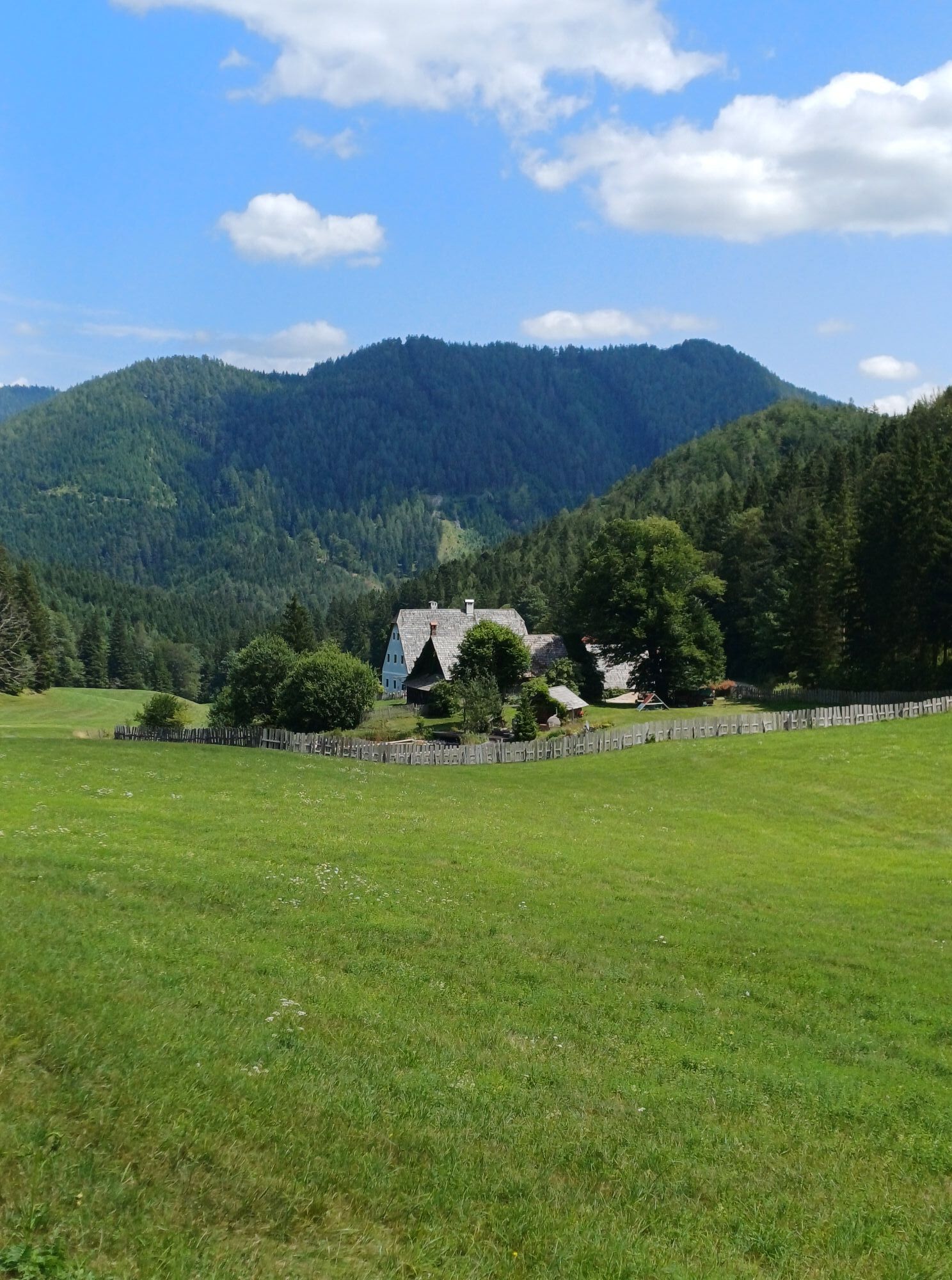
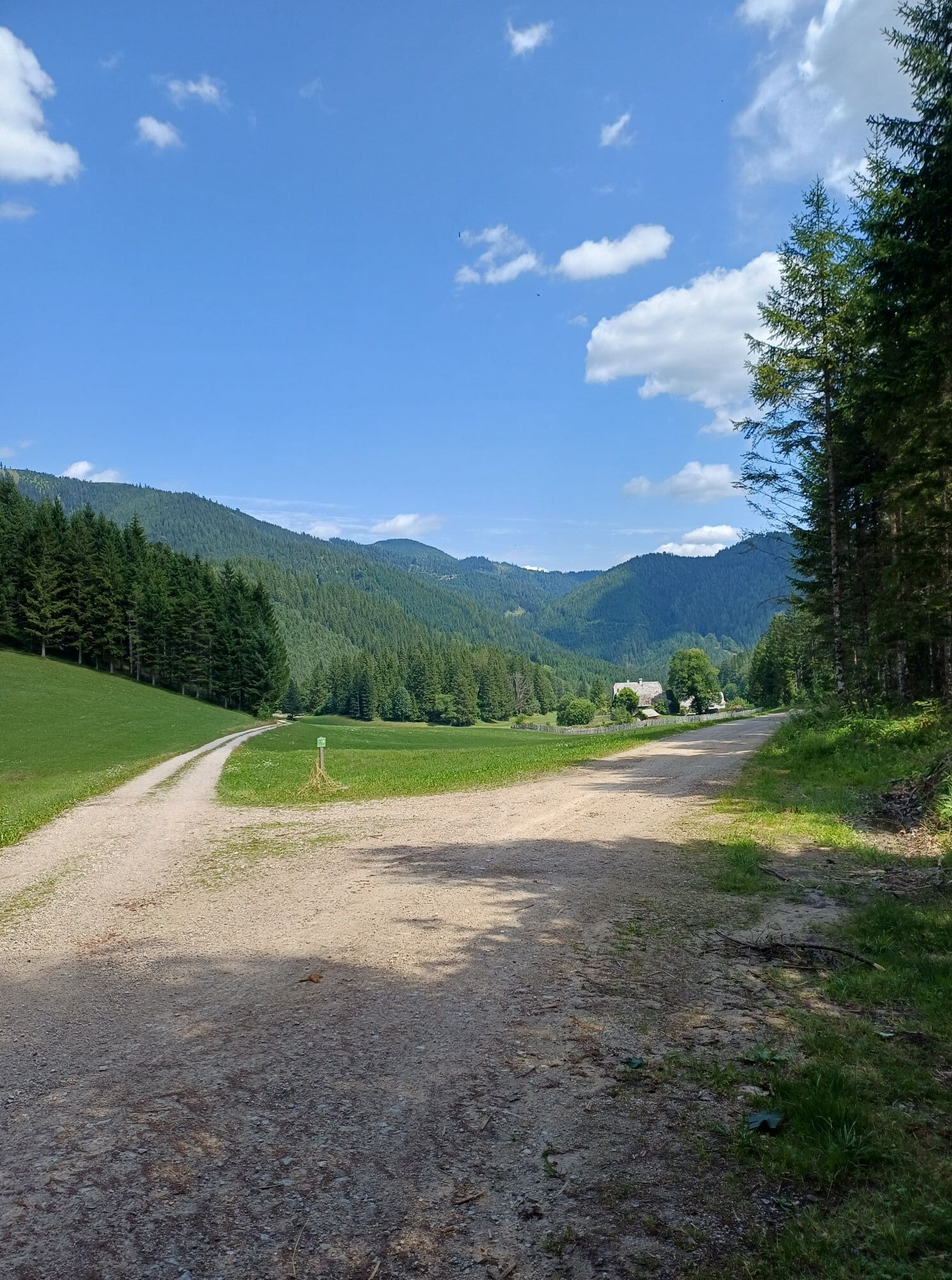
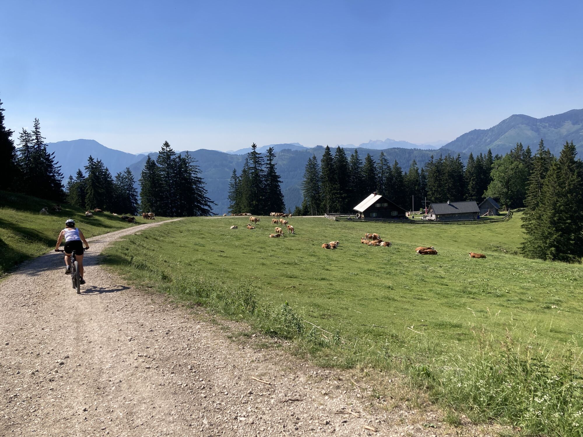
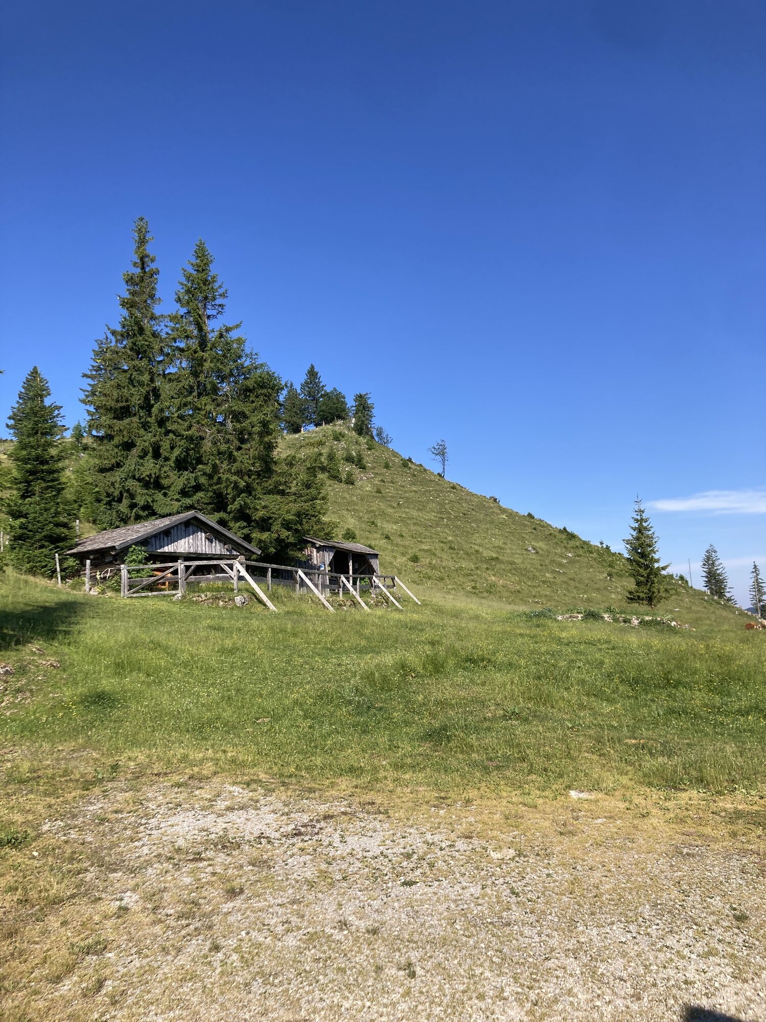
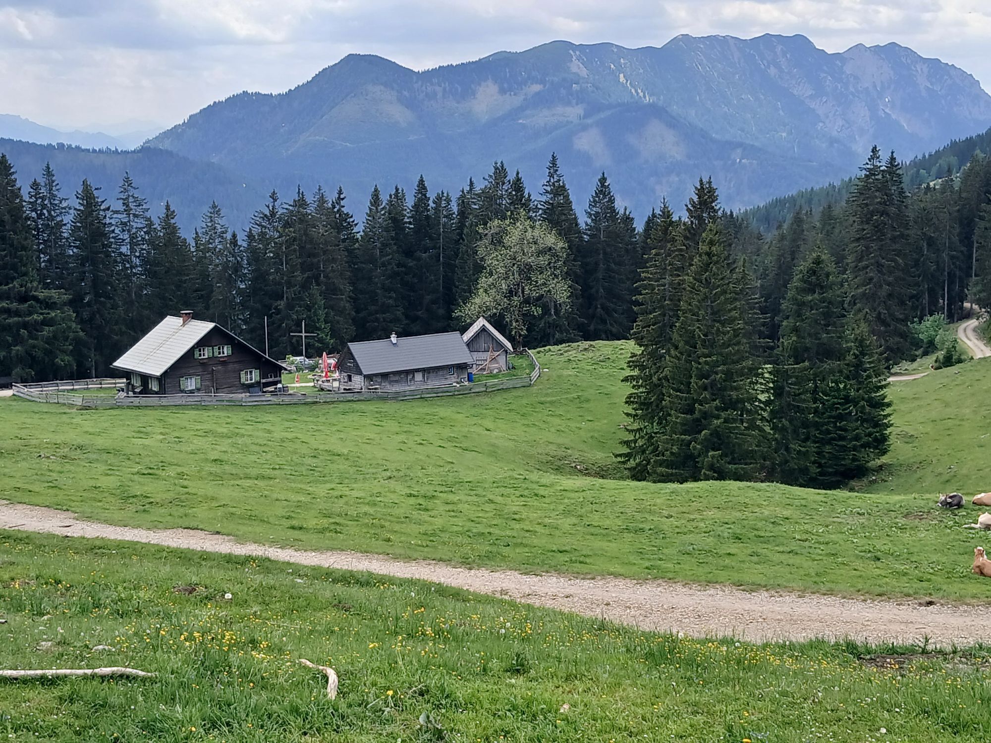
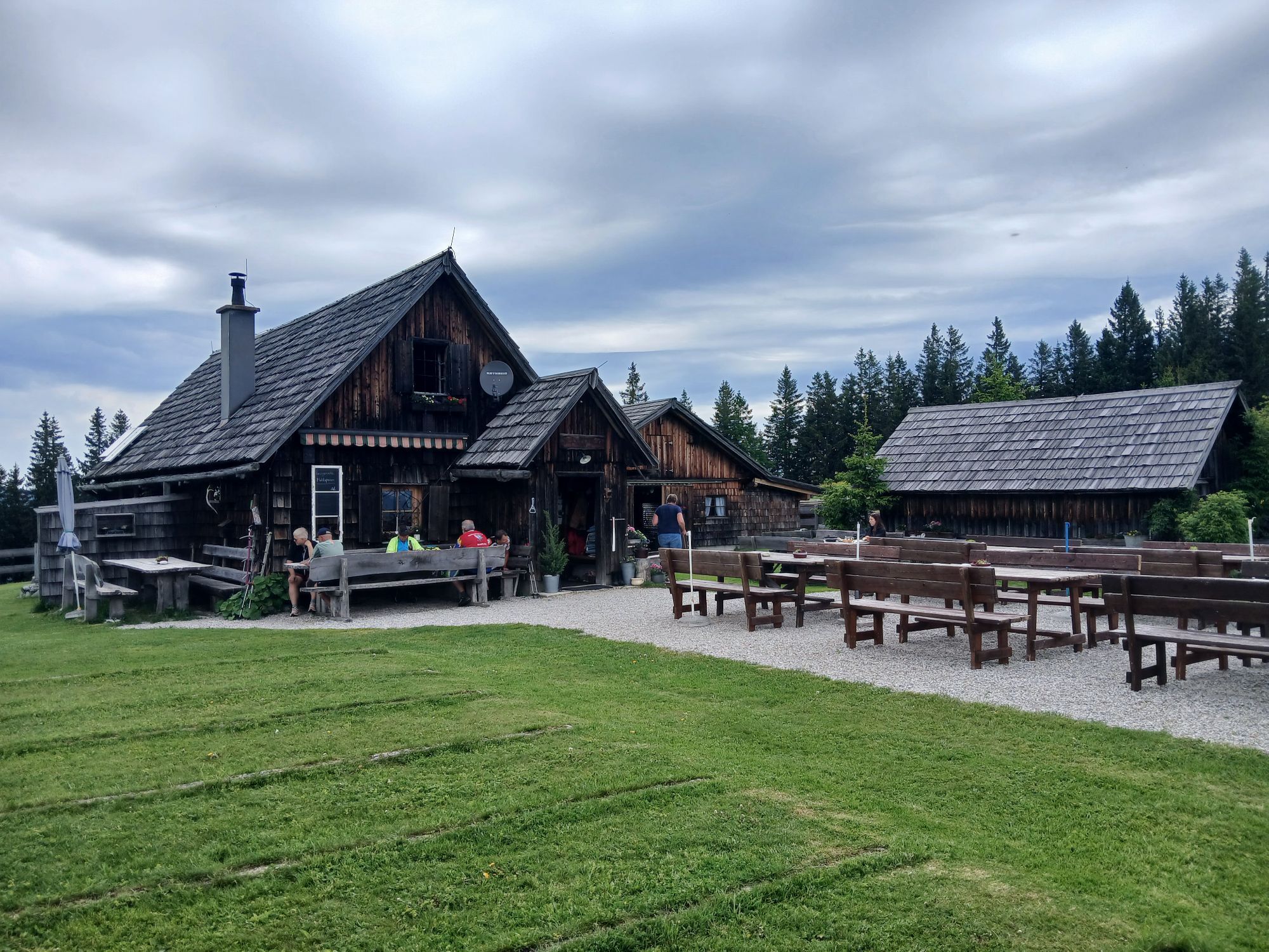
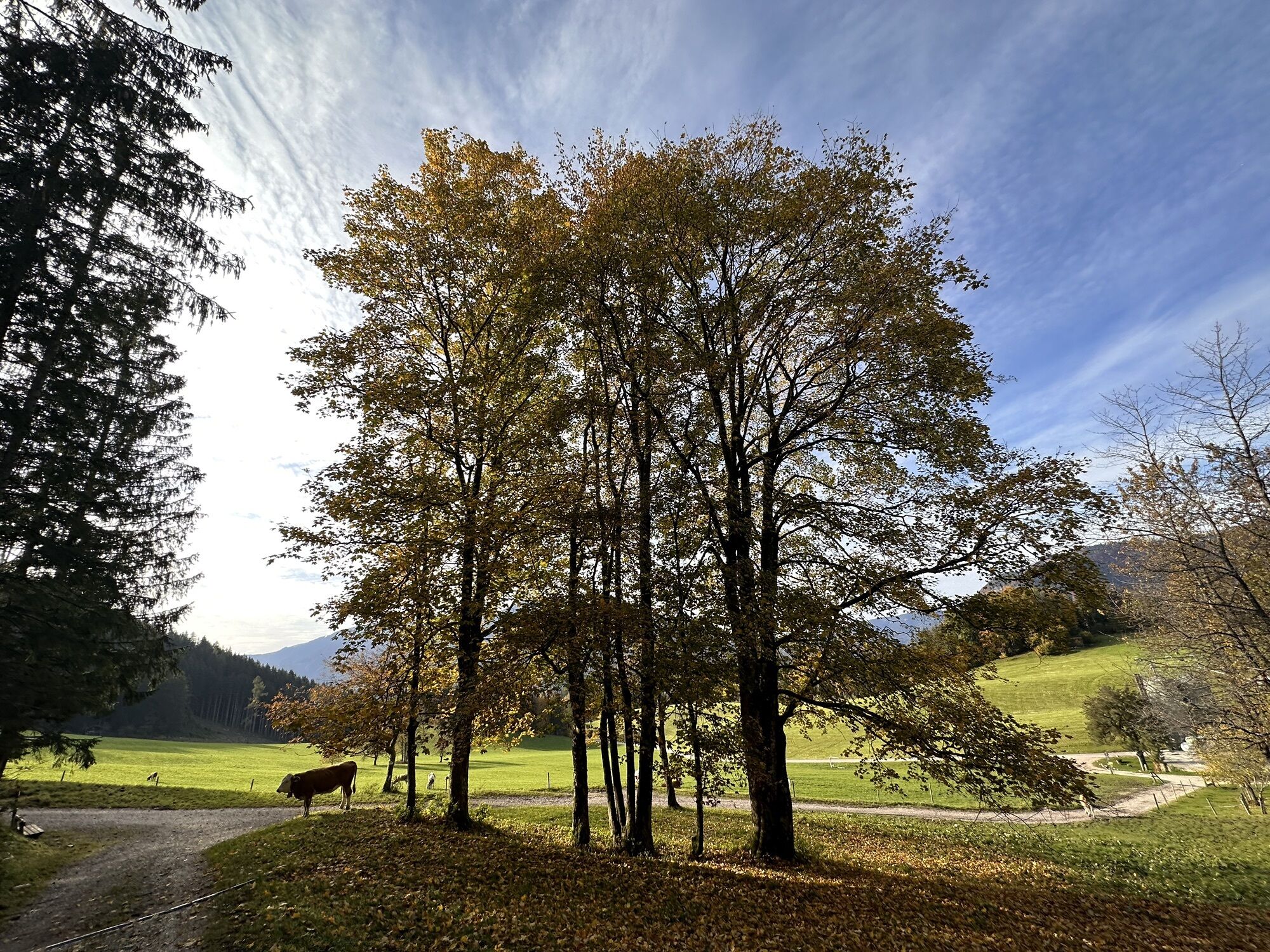
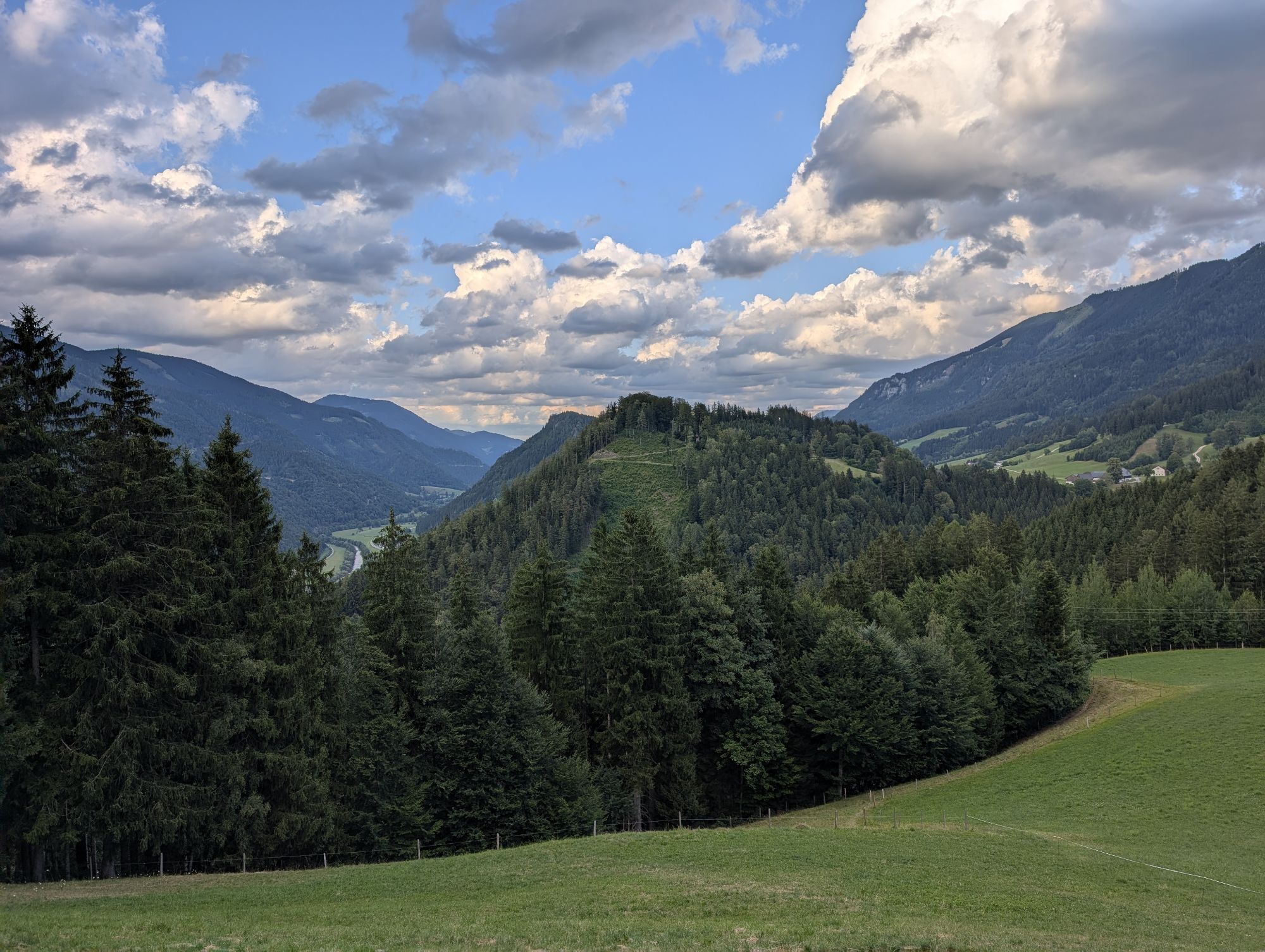
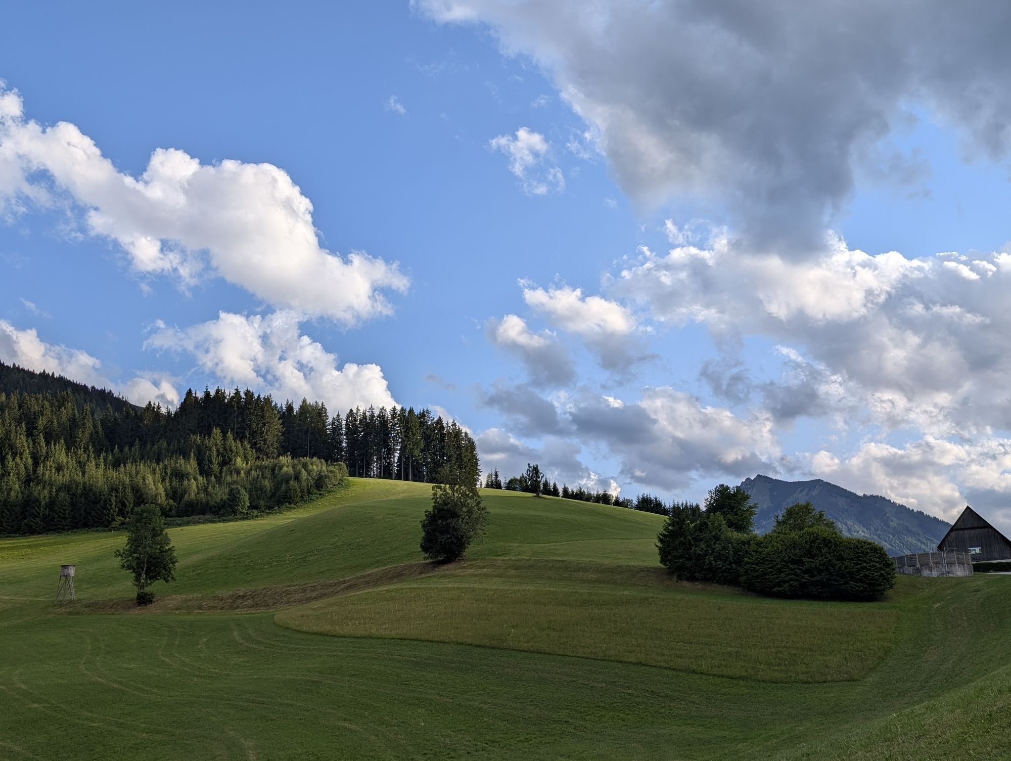
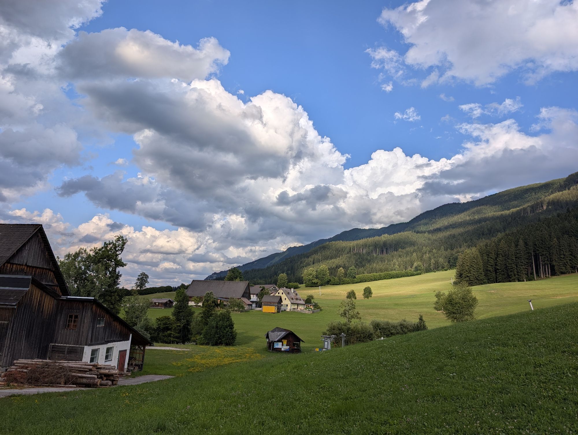
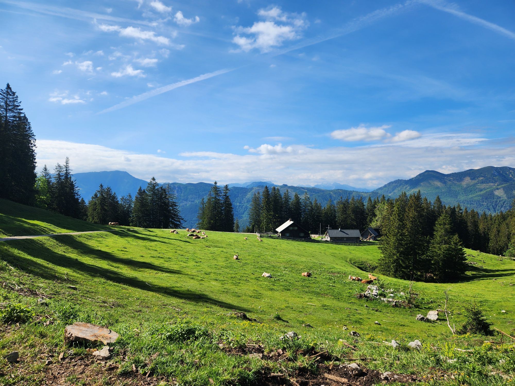
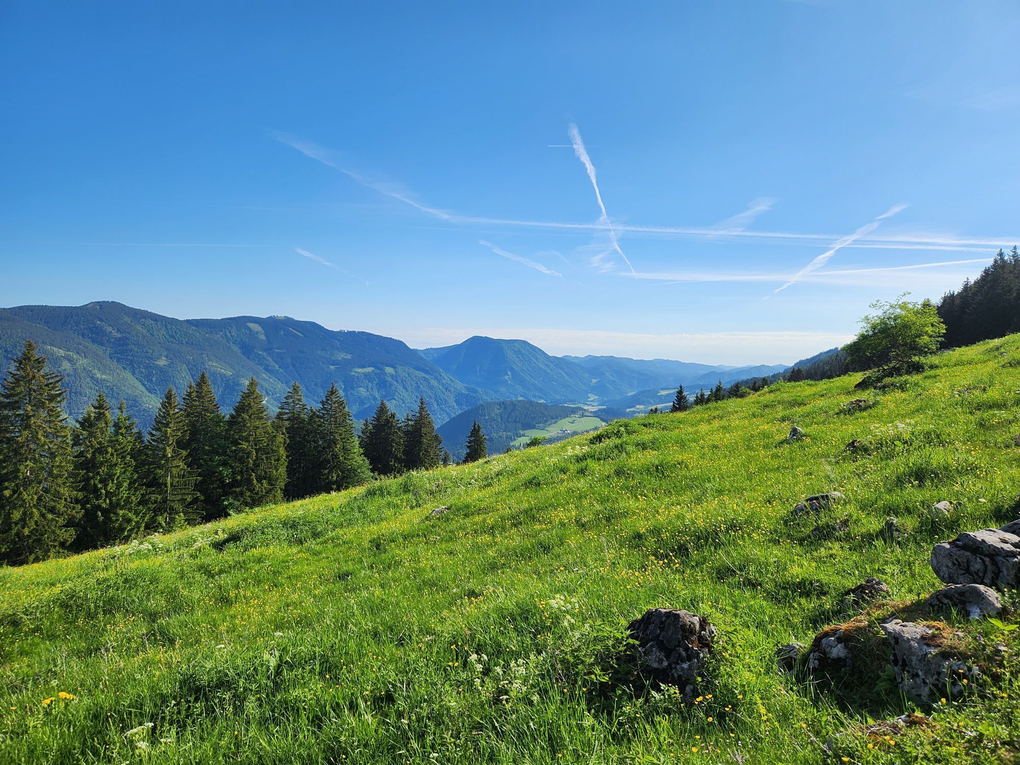
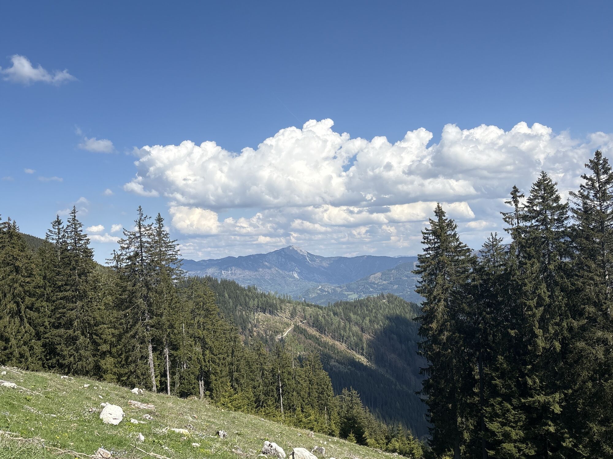
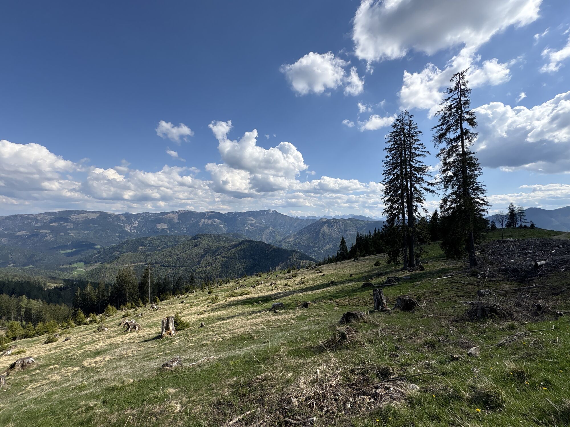
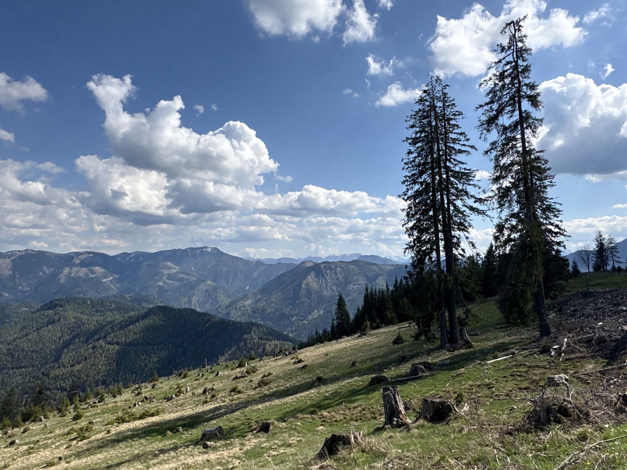
The Sonnbrand-Almtour offers a top-class MTB experience! A leisurely start on asphalt, a long and sometimes steep gravel climb to the highest point with a fantastic 360° panoramic view of the Gesäuse and the Ybbstal Alps, past two rustic mountain huts with the best regional products for refreshments, between the cows on a narrow single trail and finally a rapid downhill.
MTB heart, what more could you want!

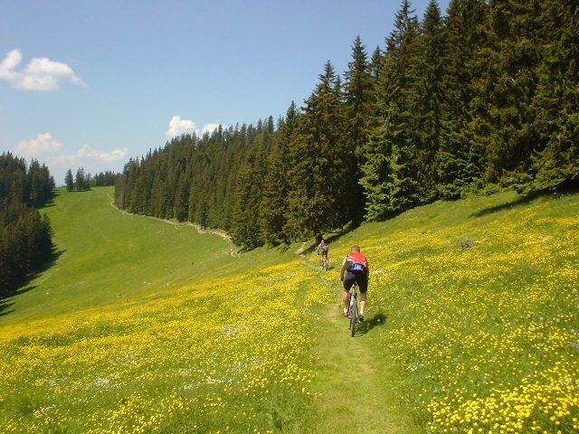
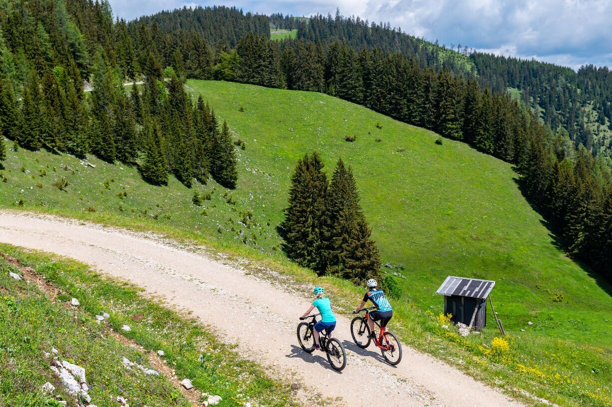

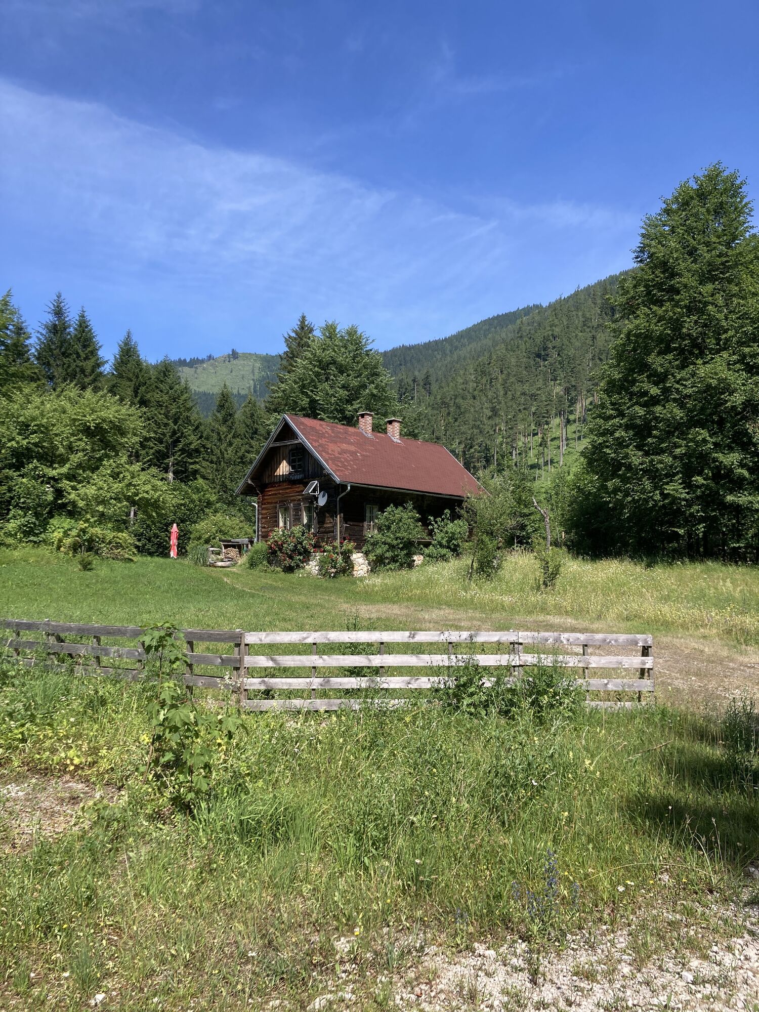
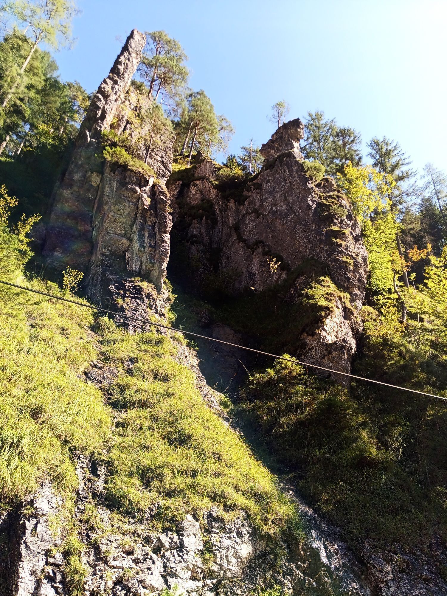
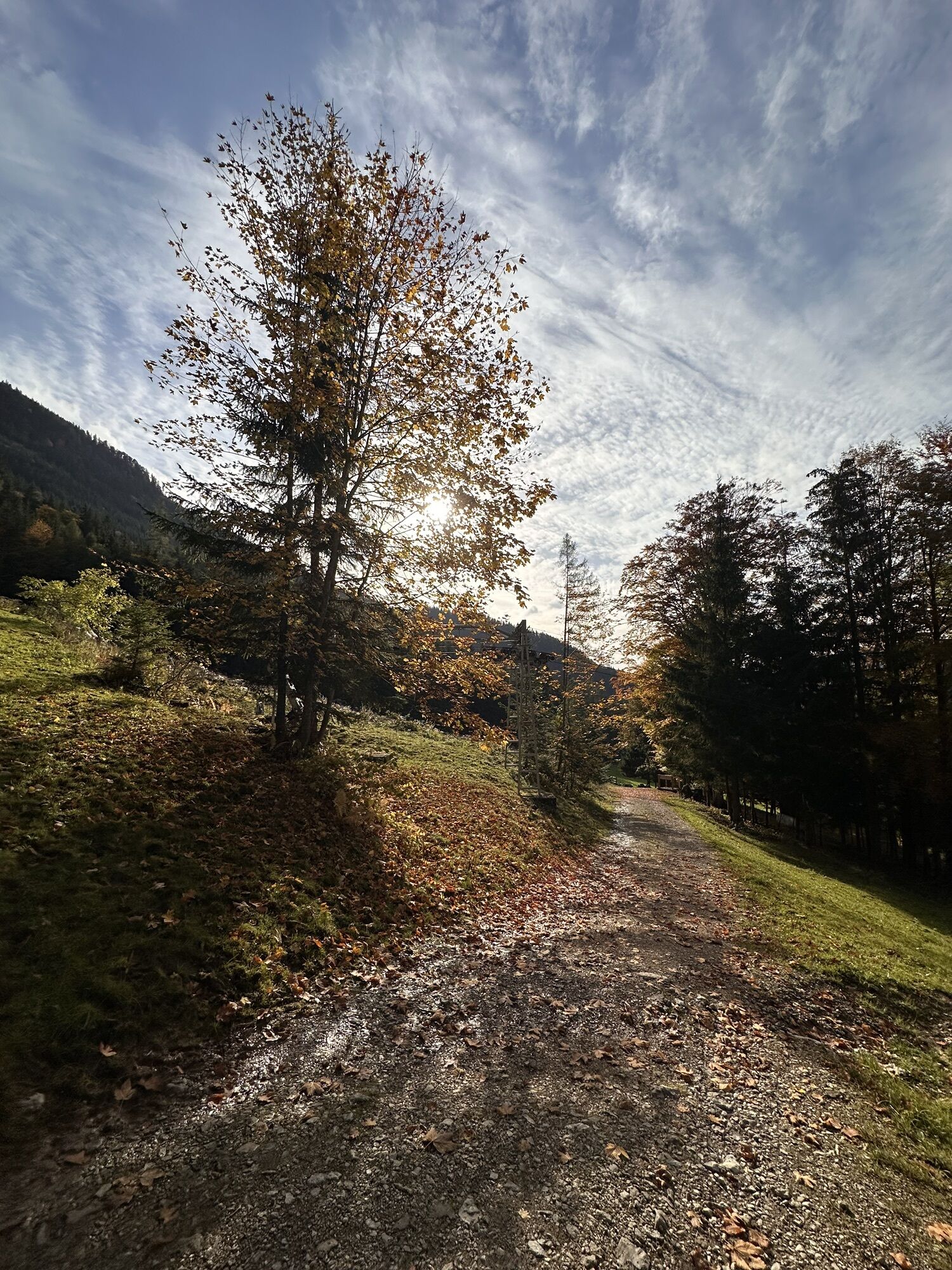
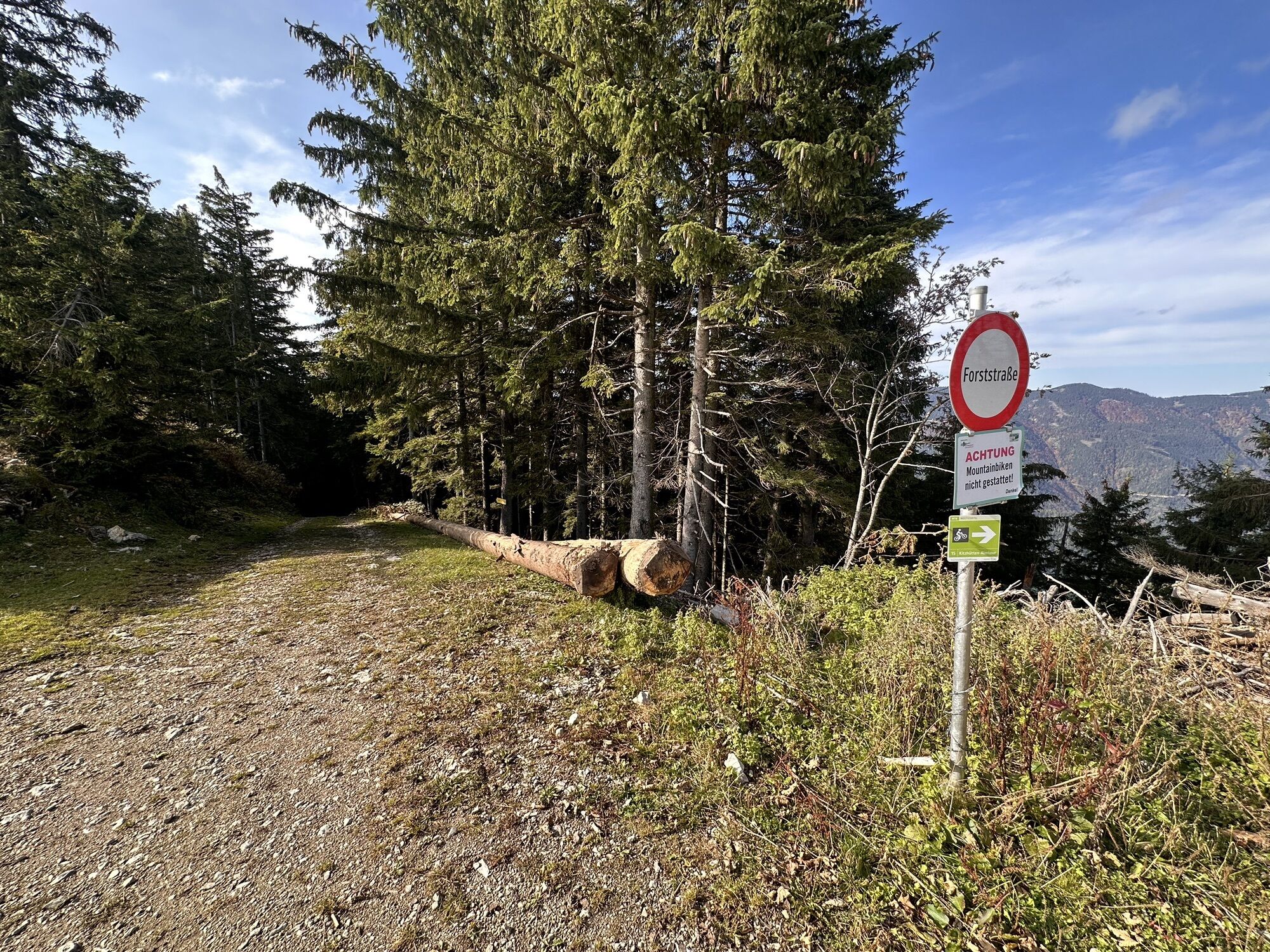
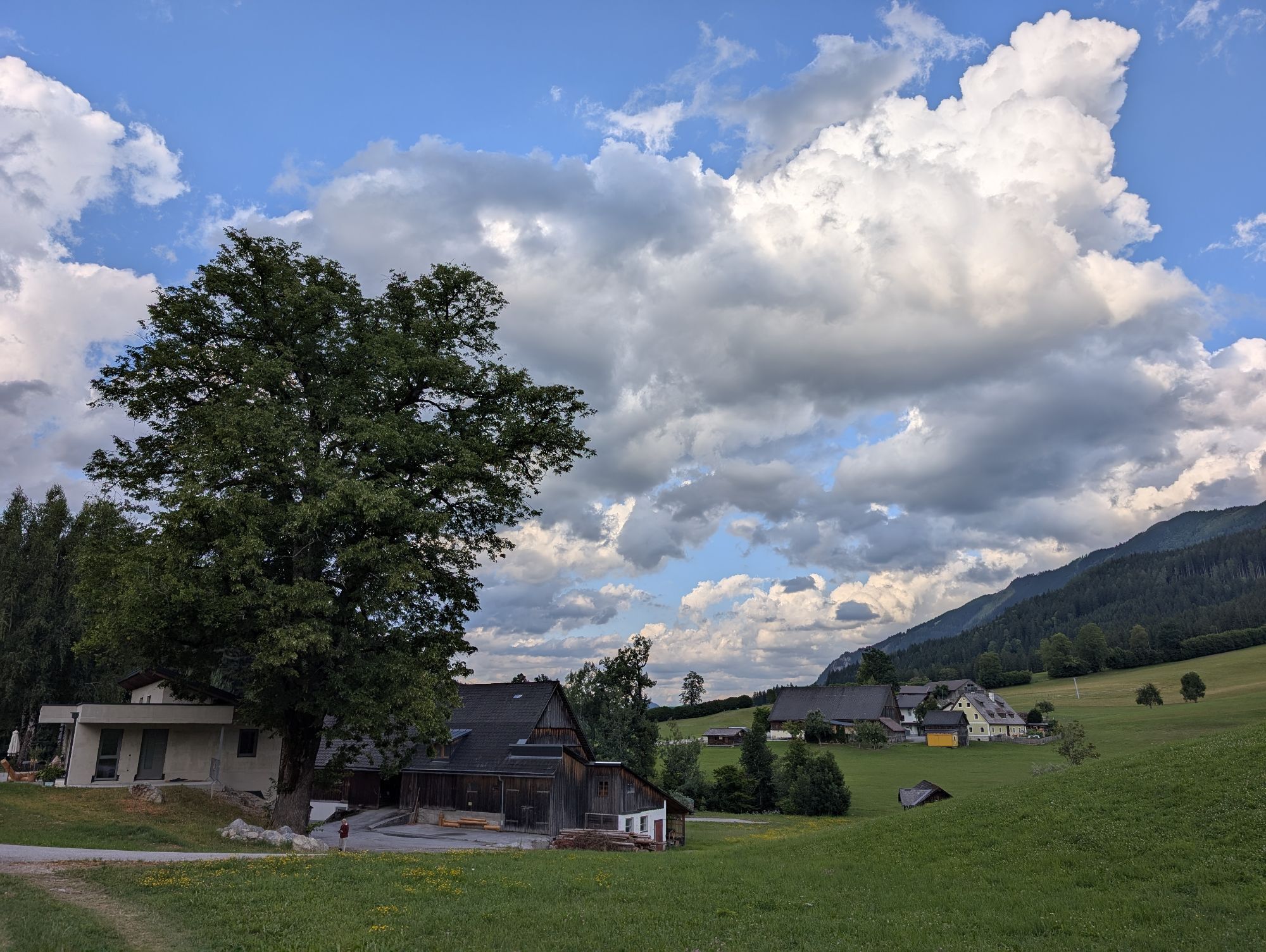
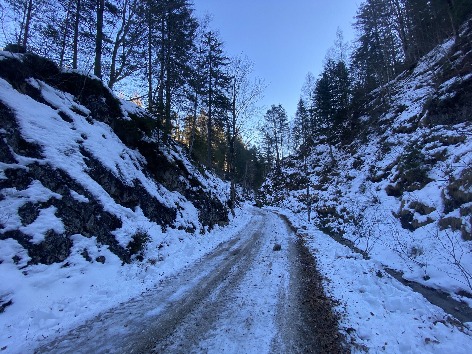
Starting point in the village center of Hollenstein/Ybbs, along the romantic Hammerbach valley, always gently ascending into the NÖ-Eisenwurzen Nature Park, past the Treffengut and Wentsteinhammer (relics from the hammer forging era, rest stop and historical site) steadily uphill past the old hunting lodge Sandgraben up to the fork in the road at Promau (at km 9.5), straight on now on a forest road past a large wildlife feeding station to the Kitzhütt road junction (the Kitzhütten Alm route continues straight here), turn right into Sonnbrand Street along the south side of Königsberg, past woodcutters' and hunting huts with views of Hochkar, Dürrenstein, and the Ötscher area up to the Garnstatt junction (at km 21.1).
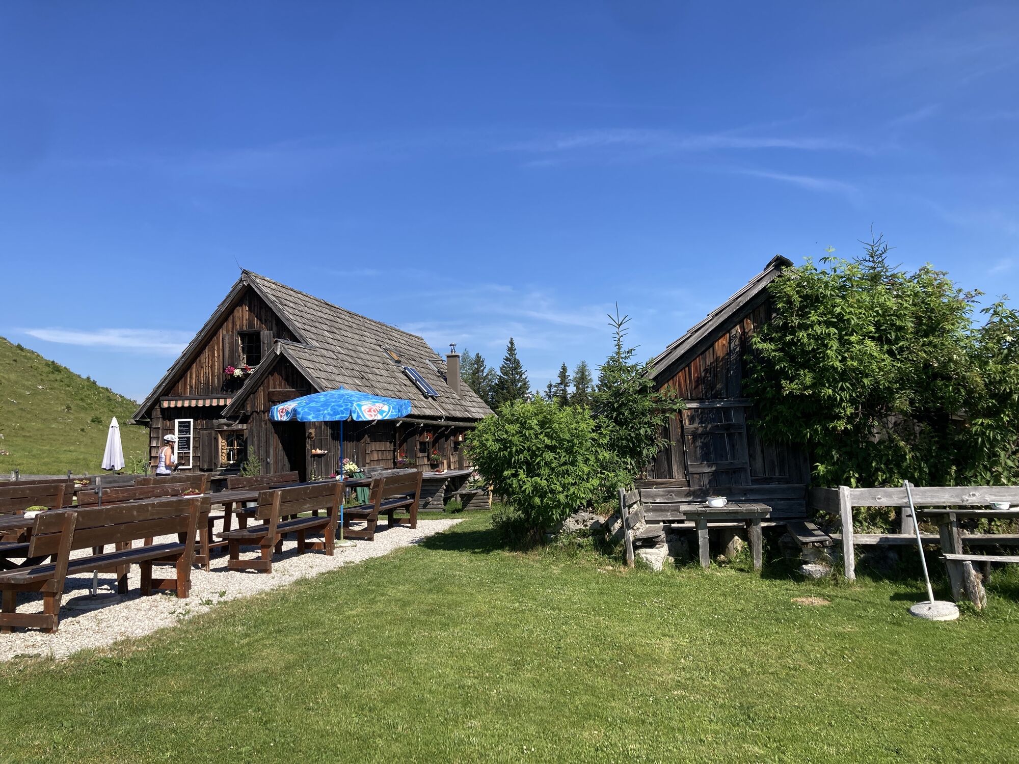
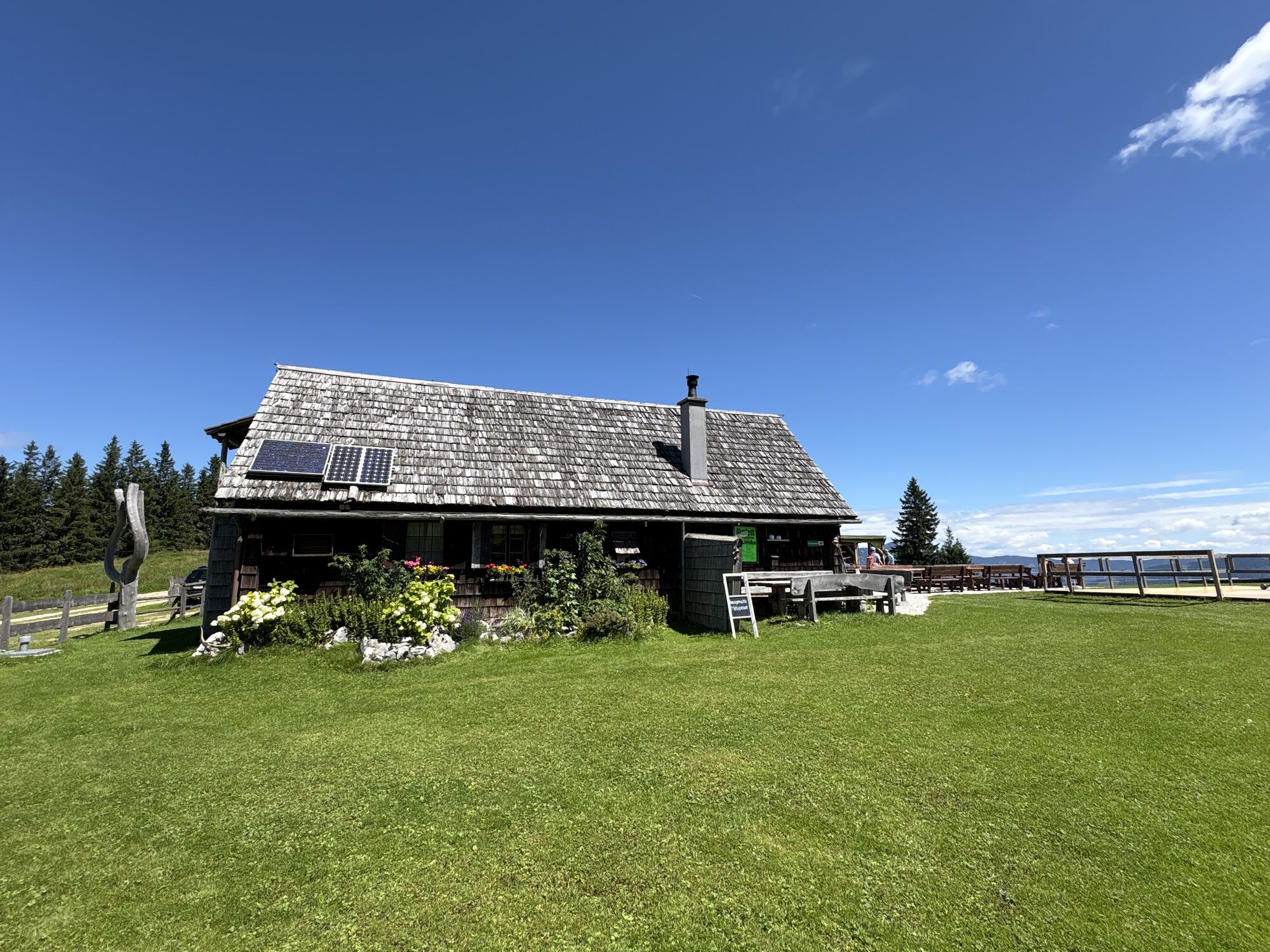
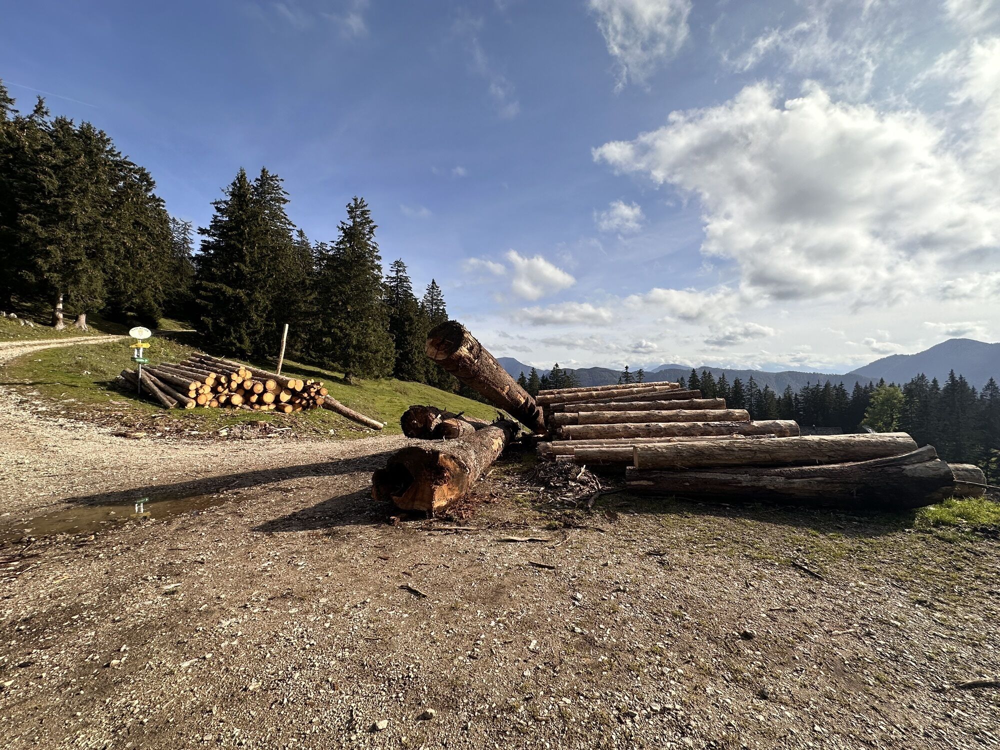
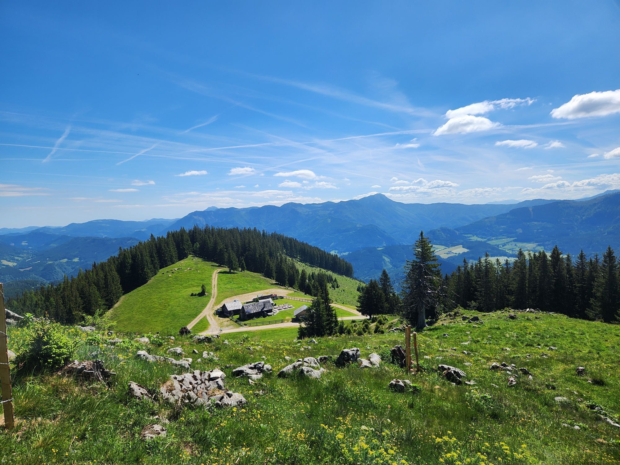
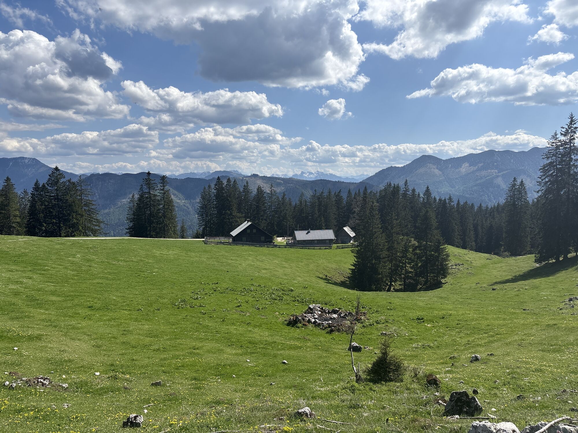
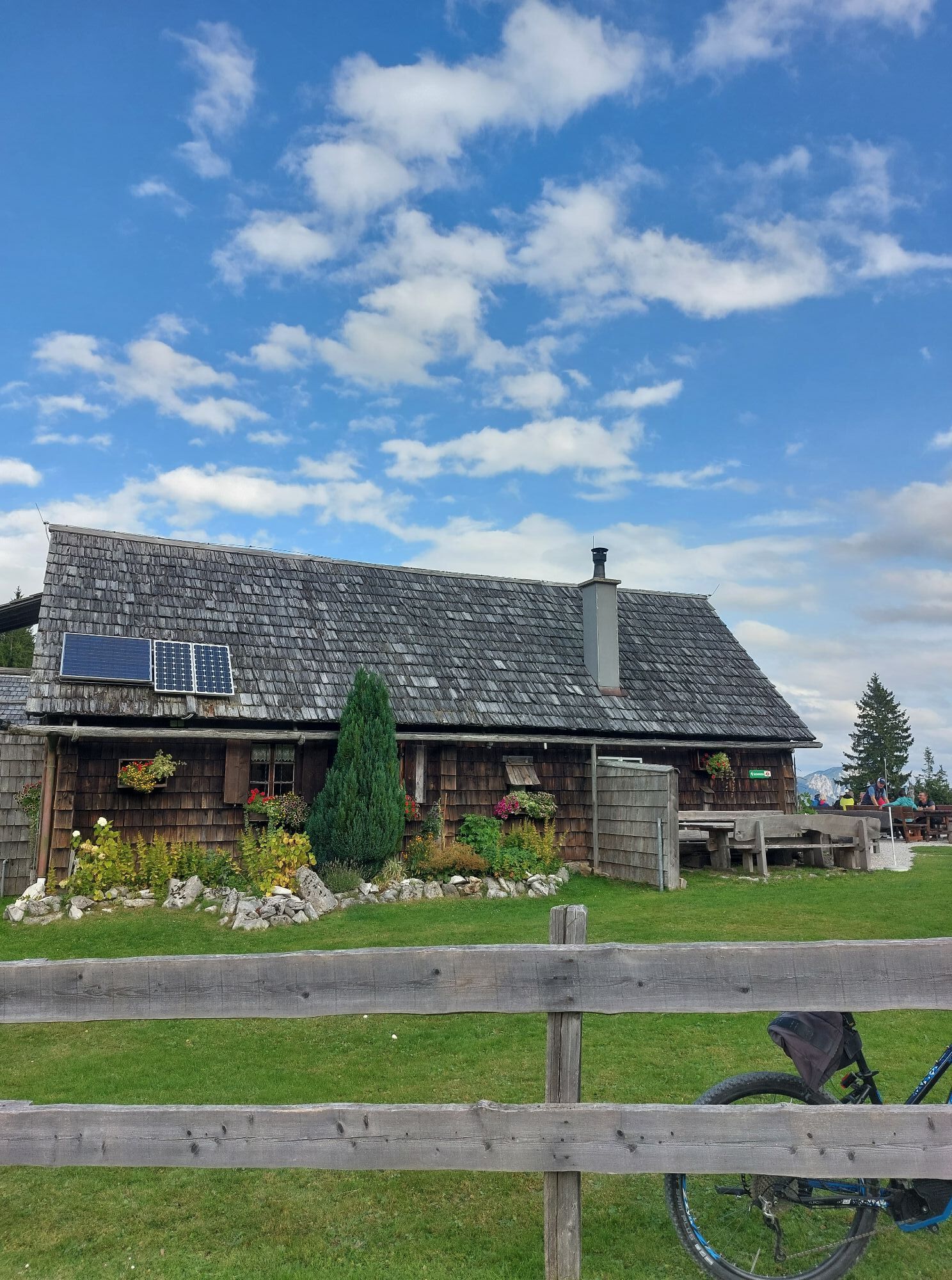
Now follows a sweaty climb to Siebenhüttenalm (operated from June to September), where you can enjoy a well-deserved rest.
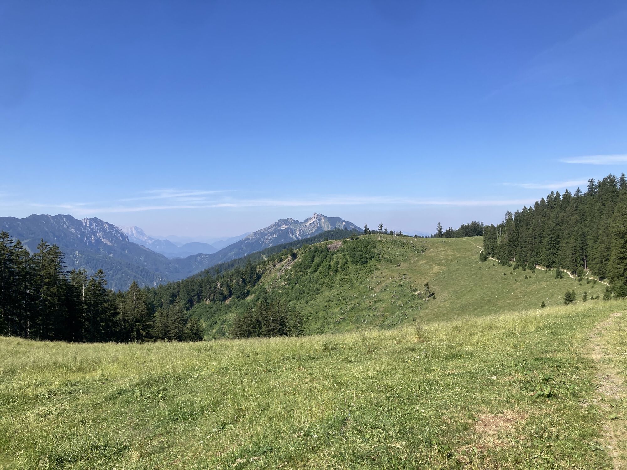
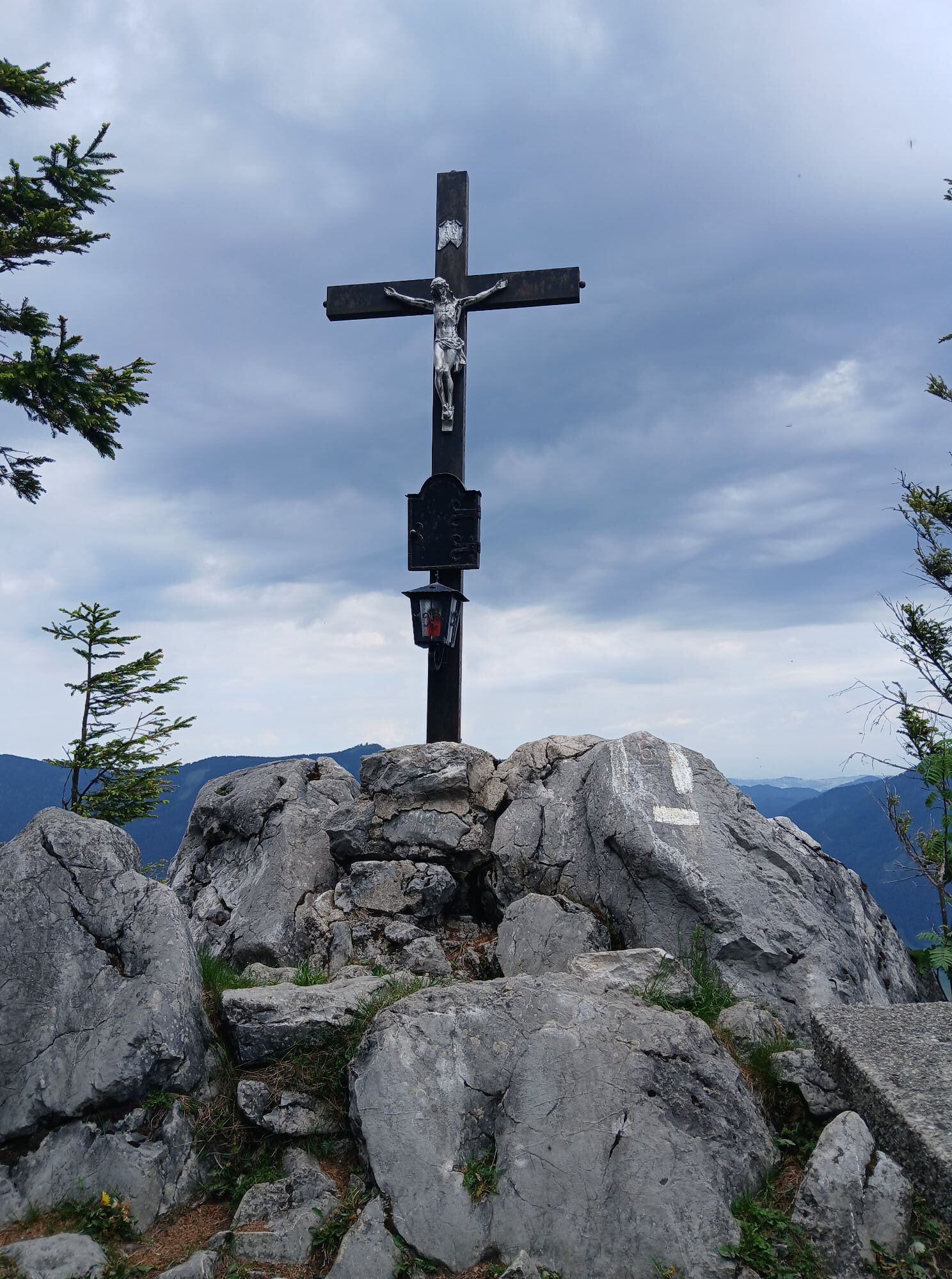
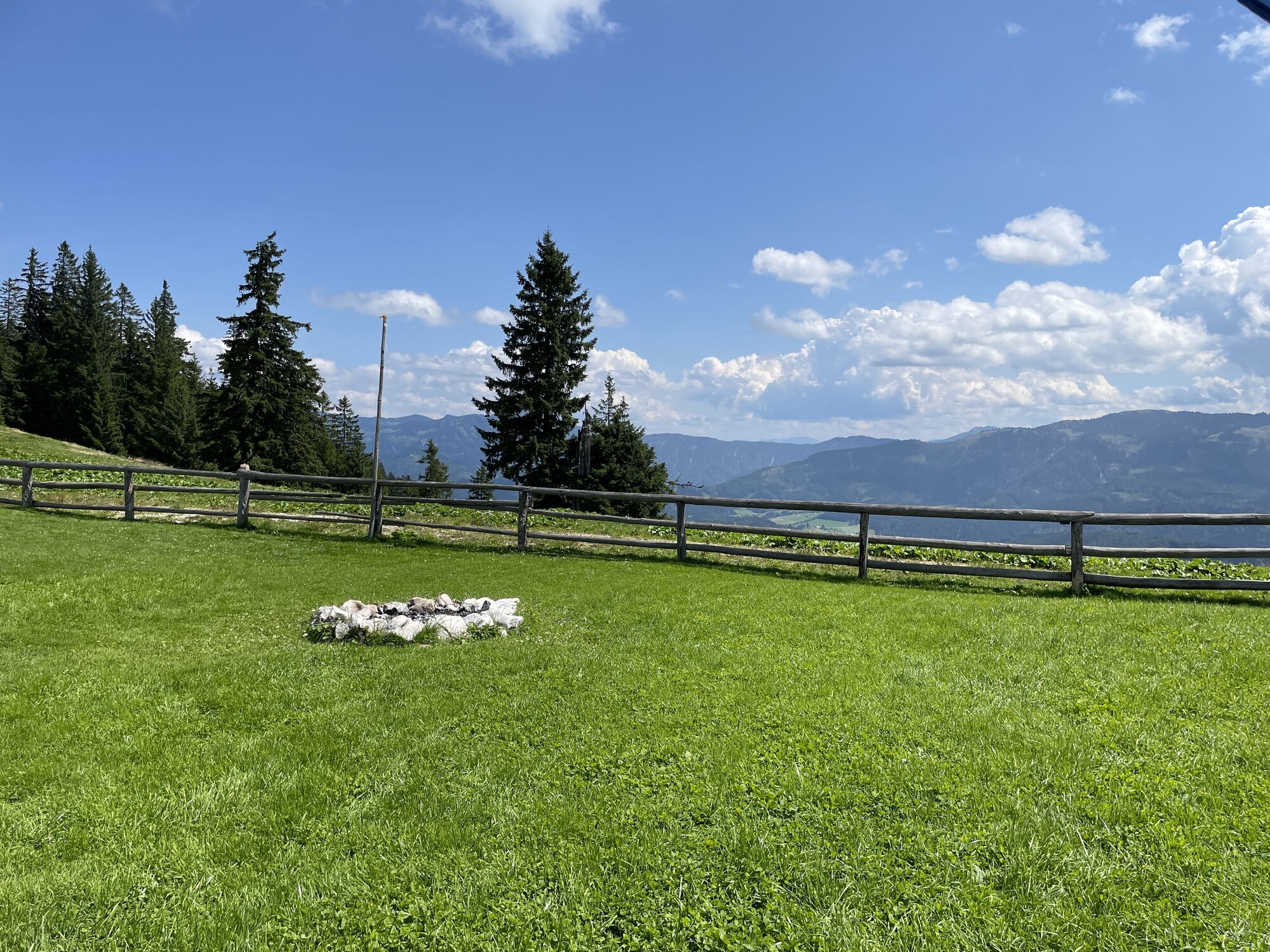
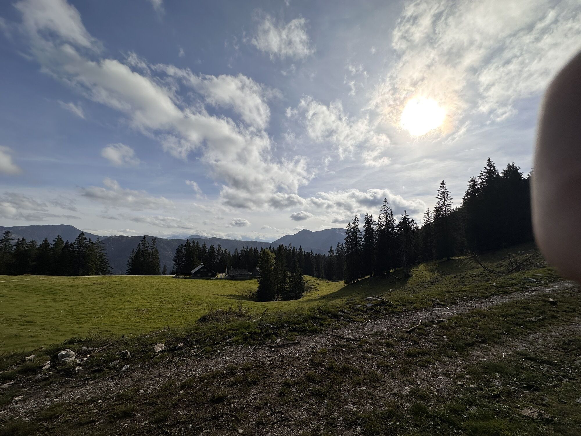
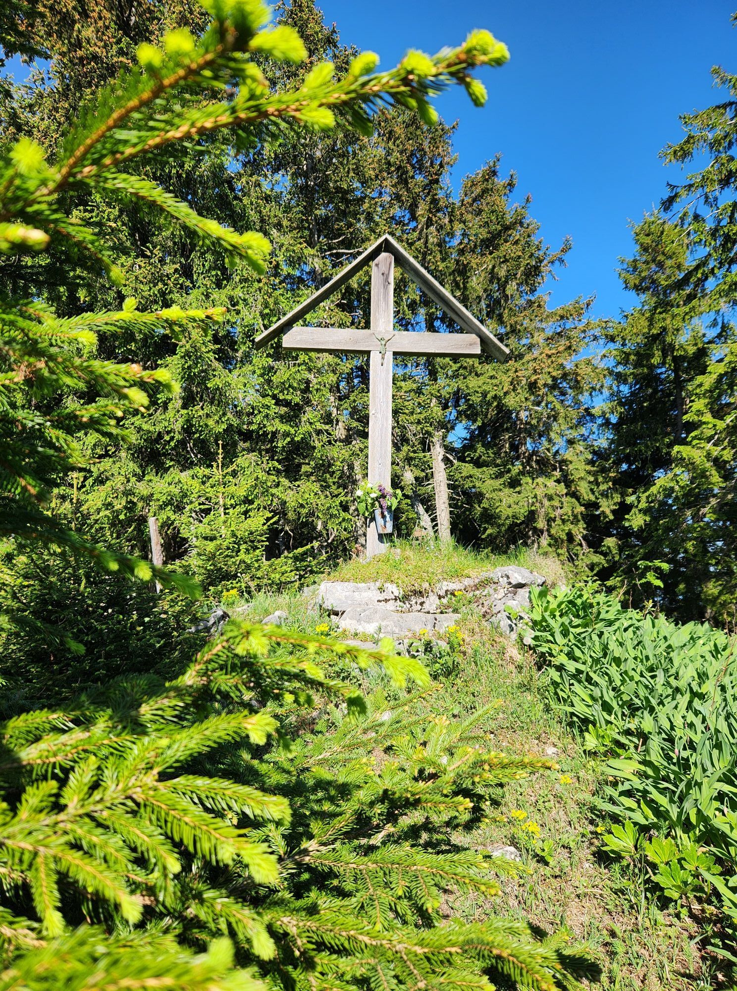
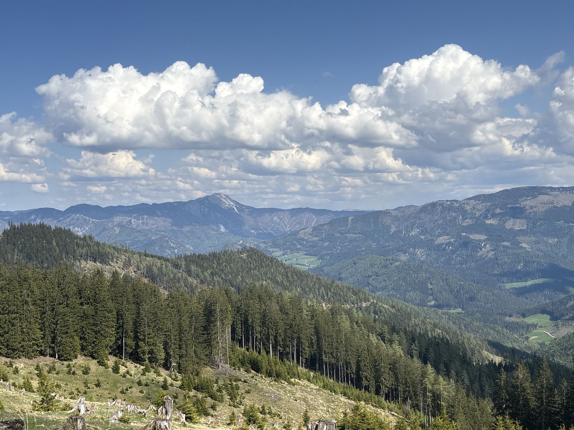
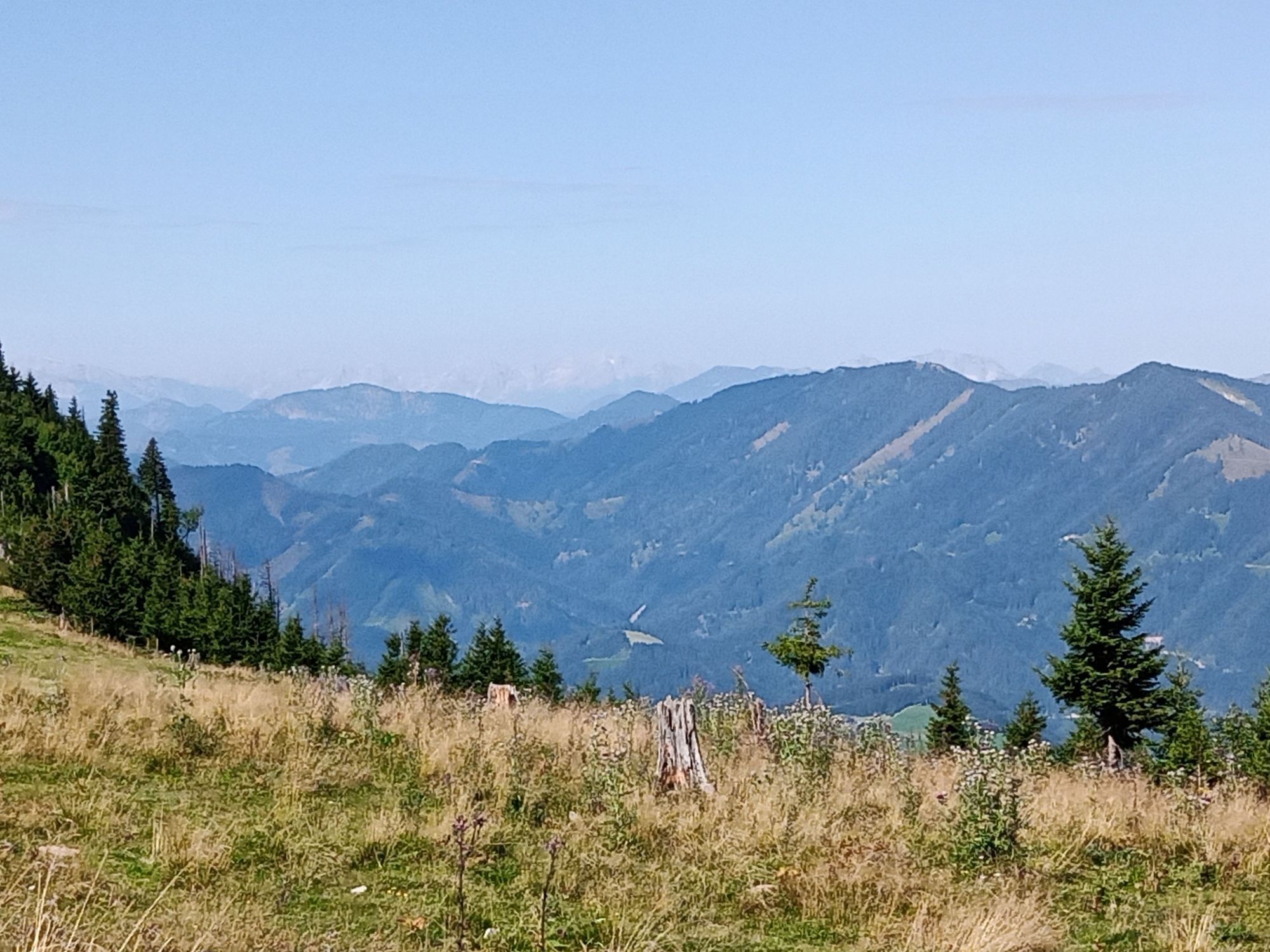
Then along the ridge of Königsberg to the highest point of the route, Schwarzkogel (1405 m) with unique views of the Eisenerz Alps, Hochschwab, Gesäuse Mountains, Totes Gebirge up to the Waldviertel, and close at hand the Ötscher-Dürrenstein-Hochkar-Gamstein-Voralpe area, continuing over Vierhütten to the end of the forest road, then crossing Daucheralm to the boundary of the two pastures, back to the forest road and gently downhill to Königsberg height. A detour to Kitzhütten Alm is recommended here. Open from June to September, it offers a rustic alpine snack with special radler drinks.
After an extensive rest, the descent countdown begins, half right over the Kastner Gschlief now on the Kitzhütten Alm route back to Thomasbergerboden, steeply downhill over partly rough gravel road past the Königsberg lifts to the grand finale through the Königsberg bike park. The last stretch back leads along the asphalt road past the school back to the starting point.
Please note the winter closure of this and all other MTB trails in the Mostviertel from November 1 to April 14.
Thank you for your understanding!
A1, exit Amstetten West, Ybbstalbundestraße direction Waidhofen an der Ybbs, Waidhofen, Opponitz to Hollenstein
Alternative: A1, exit Ybbs/Wieselburg, Erlauftalbundesstraße direction Wieselburg, Wieselburg, Scheibbs, Gaming, Lunz am See, Göstling to Hollenstein
Municipality of Hollenstein/Ybbs
Tel. 07445/218, Fax ext. 24
E-mail: gemeinde@hollenstein.at
www.hollenstein.at
Tourism Association Ybbstaler Alps
Göstling 46/2, 3345 Göstling an der Ybbs
T +43 5/93049
E info@ybbstaler-alpen.at
Mostviertel Tourism
Töpperschloss Neubruck
Neubruck 2/10, 3283 Scheibbs
T +43/7482/204 44
info@mostviertel.at
www.mostviertel.at
Take your time for both huts on the route - it's worth it!


Aktivity počas prehliadky
-

Hollenstein an der Ybbs, Niederösterreich/Österreich
25.09.2026 – E-MTB -

Hollenstein an der Ybbs, Niederösterreich/Österreich
30.08.2026 – Turistika -
Hollenstein an der Ybbs, Niederösterreich/Österreich
22.08.2026 – Turistika -

Hollenstein an der Ybbs, Niederösterreich/Österreich
08.08.2026 – E-MTB -

Hollenstein an der Ybbs, Niederösterreich/Österreich
11.07.2026 – Elektronický bicykel -
Hollenstein an der Ybbs, Niederösterreich/Österreich
04.07.2026 – Mountainbike
Obľúbené výlety v okolí
-
4,7
Hochkar - Schmalzmauer - Geißhöhe - Ringkogel - Schwarzalmhütte - Brunneckerhütte
strednáTuristika 13,2 km -
4,9
Lechnergraben-Grünloch-Ybbstalerhütte
svetloTuristika 9,72 km -
4,8
Kurzeck- Siebenhütten- Turnhöhe- Kitzhütte Göstling an der Ybbs, Österreich
svetloTuristika 12,8 km -
4,9
Hochkar und Mendlingklamm-Teil 2
svetloTuristika 6,97 km -
4,5
Lechner Graben - Ybbstaler Hütte
strednáTuristika 14,2 km -
5,0
2-Tages Tour: Lunzer See - Dürrenstein - Ybbstalerhütte - Lunzer See (Tag 2/2)
strednáTuristika 12,4 km -
4,5
Palfauer Wasserlochklamm
strednáTuristika 1,78 km -
4,7
Wasserlochklamm Palfau
strednáTuristika 2,86 km -
4,1
wanderung auf den alpl
strednáTuristika 8,18 km -
4,1
HOCHKAR Parkplatz Blachlboden Leckerplan Geischlägerhaus Hochkar Scheinecksttl. ret. 23.08.2018
svetloTuristika 8,30 km
Turistika a stopovanie


Nenechajte si ujsť ponuky a inšpiráciu na ďalšiu dovolenku
Vaša e-mailová adresa bol pridaný do poštového zoznamu.





