



Herrenteich - route

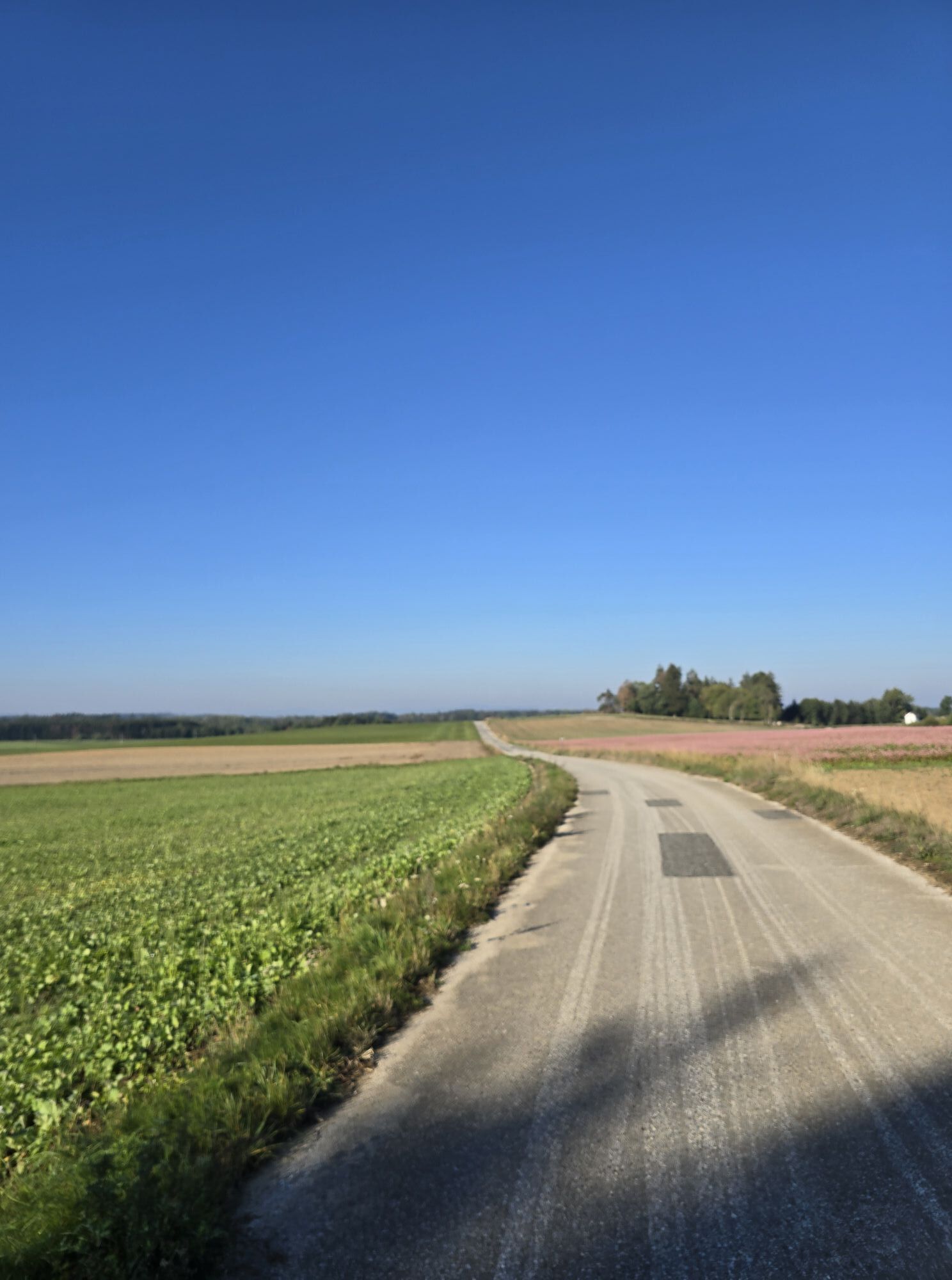
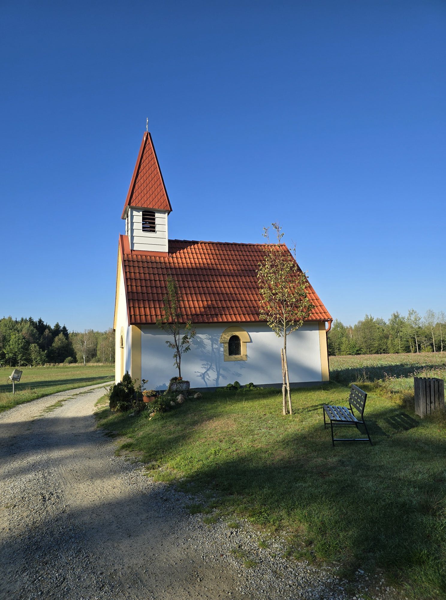
Adventurous biking for young and old: the Herrenteich route in Schrems is perfect for families, not only because of the optimal combination of gravel, field, and meadow paths. Numerous excursion destinations...
<p>Adventurous biking for young and old: the Herrenteich route in Schrems is perfect for families, not only because of the optimal combination of gravel, field, and meadow paths. Numerous excursion destinations await discovery along the route. The Nordic-looking Schrems High Moor in the Schrems Nature Park promises landscapes reminiscent of Sweden, at UnterWasserReich Schrems you can observe otters and many other little animals in their natural habitat, and the Waldviertel Art Museum offers every creative and imaginative break from biking. For a perfect ending to an eventful day, one of the tavern culture establishments in the Waldviertel is recommended – not far away, for example, is the Waldschenke Schreiber in Kurzschwarza, known for its organic carp.</p><p><strong>Due to construction work on flood protection in Schrems city park, the MTB route is currently locally diverted.</strong></p>



<p>From the main square, the route takes us to the sports facilities of the Schrems Sports Club and further along the Braunaubach stream to Niederschrems. In Kleedorf, we turn left at the war memorial to Ehrenhöbarten. Passing the "Landwirt," the route continues on field paths to Pürbach, where we turn right before the Waldviertel Courtyard Theatre and cycle on the state road toward Kirchberg. Between Otterteich and Frauenteich, we reach Stölzles and then the Waldschenke Schreiber, which invites you to rest and refresh. At the edge of Langschwarza, turn left to continue over field and gravel paths into the Schrems Nature Park (heaven’s ladder!). Passing the so-called Herrenteich and the treehouse lodge, you return via the excursion destination „UnterWasserReich“ and the Moor Bath back to Schrems.</p>
<p>Coming from the west: A1 to Linz, then via A7 and B125 to Freistadt, B138 to Karlstift, B41 to Gmünd and onwards to Schrems.
</p><p>Coming from Vienna: A22 to Stockerau, then via B4 to Horn and further via E39 to Schrems.</p><p>Coming from Krems: B37 to Zwettl, then B36 to Vitis, further via E39 to Schrems.</p>
Waldviertel Tourism
3910 Zwettl, Sparkassenplatz 1/2/2
(T) +43 2822 54109
(E) info@waldviertel.at
(I) www.waldviertel.at
Fun & Bike Association Upper Waldviertel/South Bohemia
3874 Litschau, Stadtplatz 53
Service hotline: (T) +43 664 9411868
April-October from 10 AM to 6 PM
(E) info@funbiketrails.com
(I) www.funbiketrails.com
Municipality of Schrems
3943 Schrems, Hauptplatz 19
(T) +43 2853 77454
(E) gemeinde@schrems.at
(I) www.schrems.at
On this occasion, visit the popular excursion destinations in Schrems, such as the Schrems Moor Bath, the UnterWasserReich, or the Waldviertel Art Museum. Or book a guided tour at the Schrems Brewery or in the Waldviertel Workshops. Rest and refresh yourself in one of the Schrems inns or cafés.
Obľúbené výlety v okolí
-
4,5
Teiche-Radroute (Strecke 2020) Niederösterreich
strednáCyklistika 48,7 km -
4,2
Blockheiderunde
svetloTuristika 6 km -
4,9
Mythologieweg Blockheide
svetloTuristika 4,96 km -
3,7
Knödel-Landradweg
strednáCyklistika 42,6 km -
4,7
Gmünd: Blockheide mit Wackelsteinen
svetloTuristika 8,14 km -
4,6
Gemeinde Heidenreichstein - Winkelauer Berg - Seyfrieds
svetloTuristika 7,24 km -
5,0
Naturlehrpfad Heidenreichsteiner Moor
svetloTuristika 4,56 km -
4,0
Gmünd Blockheide
svetloTematická trasa 8,18 km -
4,0
TiWaLi - Neu-Nagelberg Grenzweg, Österreich
svetloTuristika 10,7 km -
4,5
Schweigginger Ursprungsrunde
strednáCyklistika 44,7 km
Turistika a stopovanie


Nenechajte si ujsť ponuky a inšpiráciu na ďalšiu dovolenku
Vaša e-mailová adresa bol pridaný do poštového zoznamu.


