







Gföhlerwald-Strecke

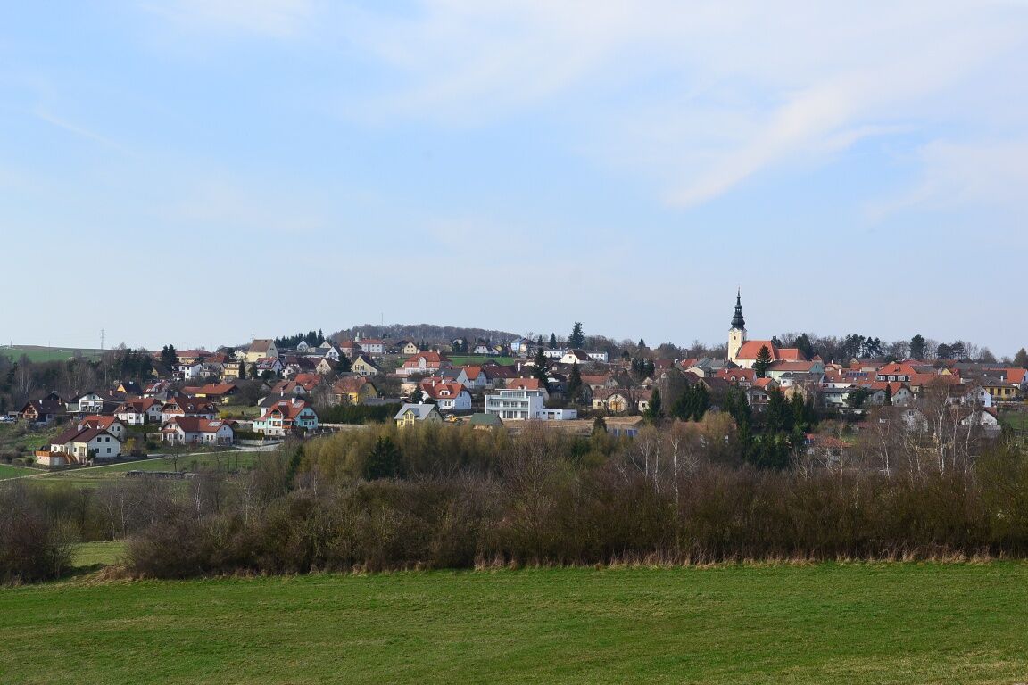

Gföhl, Jaidhofer Gasse — Take the exit heading north onto Jaidhofer Gasse — Drive through the Sculpture Park toward the district heating plant/B37 underpass and turn sharp right — Loidlmarterl — Pass through Mittelbergeramt and across the Sauerbrunnbach to the L7028 - Up the Loisbach Valley - Schweizerhof - Gföhl
From Vienna, take the A22 and S5 or the A1 and S33 to Krems, and from there, take the B37 to Gföhl.
From Linz, take the A1 to St. Pölten, then take the S33 to Krems, and from there, take the B37 to Gföhl.
Gföhl Town Hall
Hauptplatz 3, 3542 Gföhl
(T) +43 2716 6326-0
(E) gemeinde@gföhl.gv.at
(I) www.gfoehl.gv.at
Waldviertel Tourism
3910 Zwettl, Sparkassenplatz 1/2/2
(T) +43 2822 54109
(E) info@waldviertel.at
(I) www.waldviertel.at
Obľúbené výlety v okolí
-
4,5
Welterbesteig Wachau 02: Dürnstein-Weißenkirchen
svetlodiaľková pešia trasa 15,9 km -
4,7
Welterbesteig Wachau 01: Krems-Dürnstein
svetlodiaľková pešia trasa 12,3 km -
4,8
Vogelbergsteig -Kanzel- Fesselhütte - Ruine Dürnstein zum Heurigen in Furth
strednáTuristika 7,59 km -
4,7
Rundhöhenwanderweg Weißenkirchen in der Wachau - Schildhütten - Cholerakreuz - Weißenkirchen
svetloTuristika 8,75 km -
4,5
Panoramaweg Weissenkirchen
svetloTuristika 5,04 km -
4,8
Wine and Water Round to the Kamptalwarte on Heiligenstein, no. 65
strednáTuristika 9,93 km -
4,3
Kampseen Rundweg Thurnberg - Krumau am Kamp
svetloTuristika 9,04 km -
4,6
Weinweg Langenlois - wohin ? in und um Wien
svetloTuristika 5,68 km -
4,9
Rundwanderung Reisperbachtal, Donauwarte & Schreckberg
strednáTuristika 8,89 km -
5,0
Ruine Dürnstein und Vogelbergsteig - Angelos Touren
strednáTuristika 6 km
Turistika a stopovanie


Nenechajte si ujsť ponuky a inšpiráciu na ďalšiu dovolenku
Vaša e-mailová adresa bol pridaný do poštového zoznamu.





