






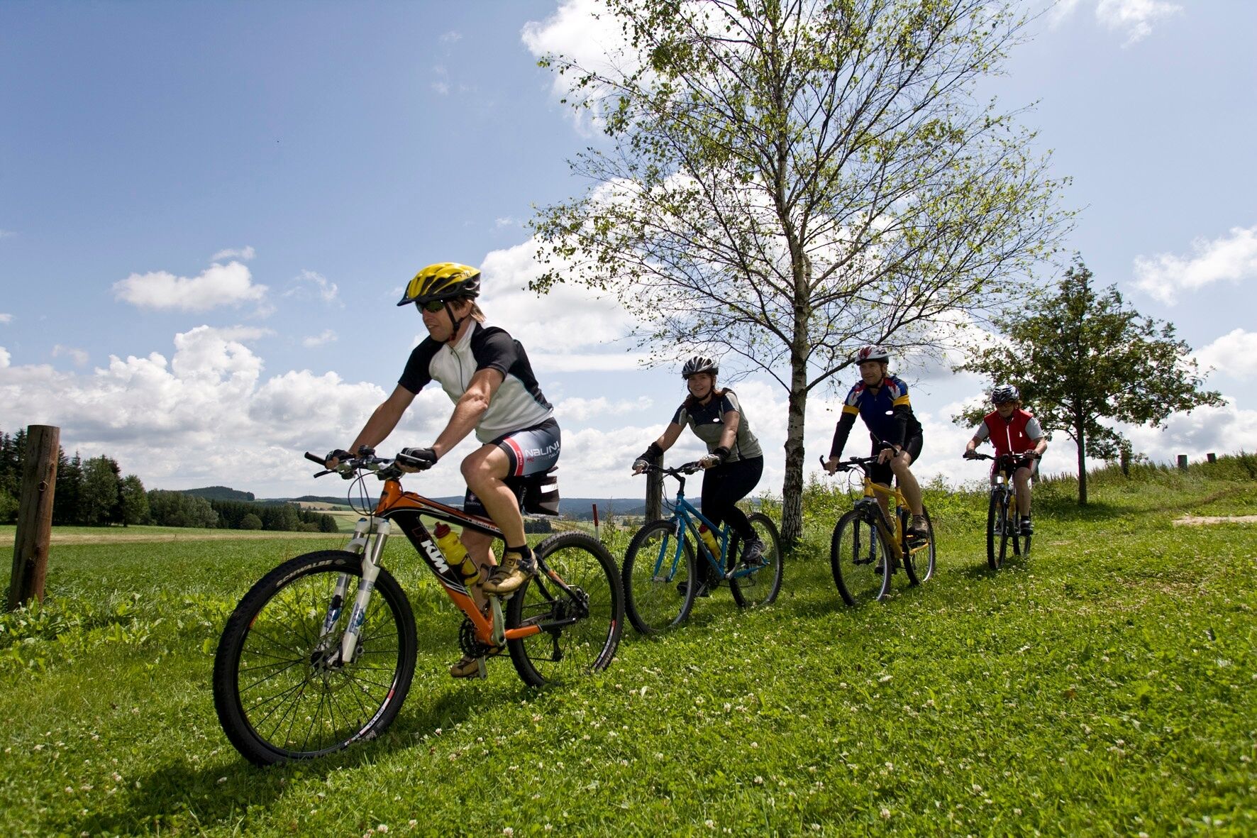
Himmelteich-Strecke



Coming from St. Pölten or Vienna, take the A1 to the Melk exit, then take the B3a over the Danube Bridge, through Fahnsdorf onto the B216, follow the B216 to Würmsdorf, turn right onto the B36, and at Größenbach, turn left toward Martinsberg.
Coming from the west, take the A1 to Linz, then the A7 and B124 to Königswiesen; there, turn right onto the B119a to Linden; there, turn left onto the B119; follow the B119 to Marchstein; there, turn right, passing through Bärnkopf and Gutenbrunn to Martinsberg.
Martinsberg Market Town
3664 Martinsberg 6
(T) +43 2874 6278
(E) gemeinde@martinsberg.at
(I) www.martinsberg.at
Waldviertel Tourism
3910 Zwettl, Sparkassenplatz 1/2/2
(T) +43 2822 54109
(E) info@waldviertel.at
(I) www.waldviertel.at
Swimming spot at Himmelteich along the route


Obľúbené výlety v okolí
-
4,0
Yspertal: Druidenweg - Ysperklamm
strednáTuristika 9,56 km -
4,6
Ausgedehnte Peilsteinrunde
strednáTuristika 13,7 km -
4,9
LAIMBACH Ostrong Peilstein 20220716
strednáTuristika 7,70 km -
4,8
Ysperklamm
strednáTuristika 8,74 km -
3,8
Bärnkopf Ysperklammstrecke
ťažkéMountainbike 31,0 km -
4,7
Höllfall und Lohnbachfall
Turistika 13,8 km -
4,0
Ysperklammrunde Gutenbrunn Nr. 46
strednáTuristika 16,8 km -
5,0
Yspertal: Ysperklamm
strednáTuristika 7,19 km -
4,8
PISCHING Ysperklamm, um den eh. Ödteich und wieder zurück
strednáTuristika 8,20 km -
2,8
Panoramaweg Spitzer Graben
strednáTuristika 18,6 km
Turistika a stopovanie


Nenechajte si ujsť ponuky a inšpiráciu na ďalšiu dovolenku
Vaša e-mailová adresa bol pridaný do poštového zoznamu.





