






Feuerwehrweg- Trailarea Göttweig
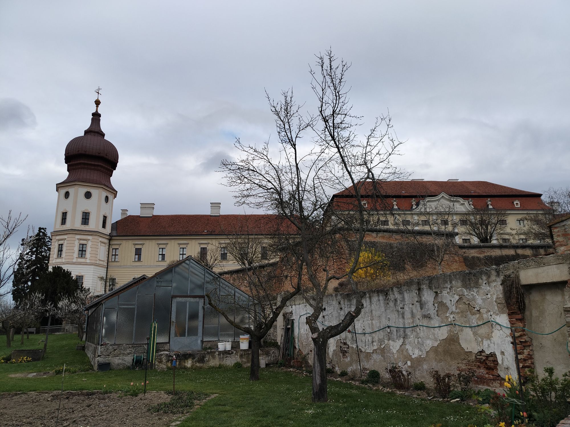
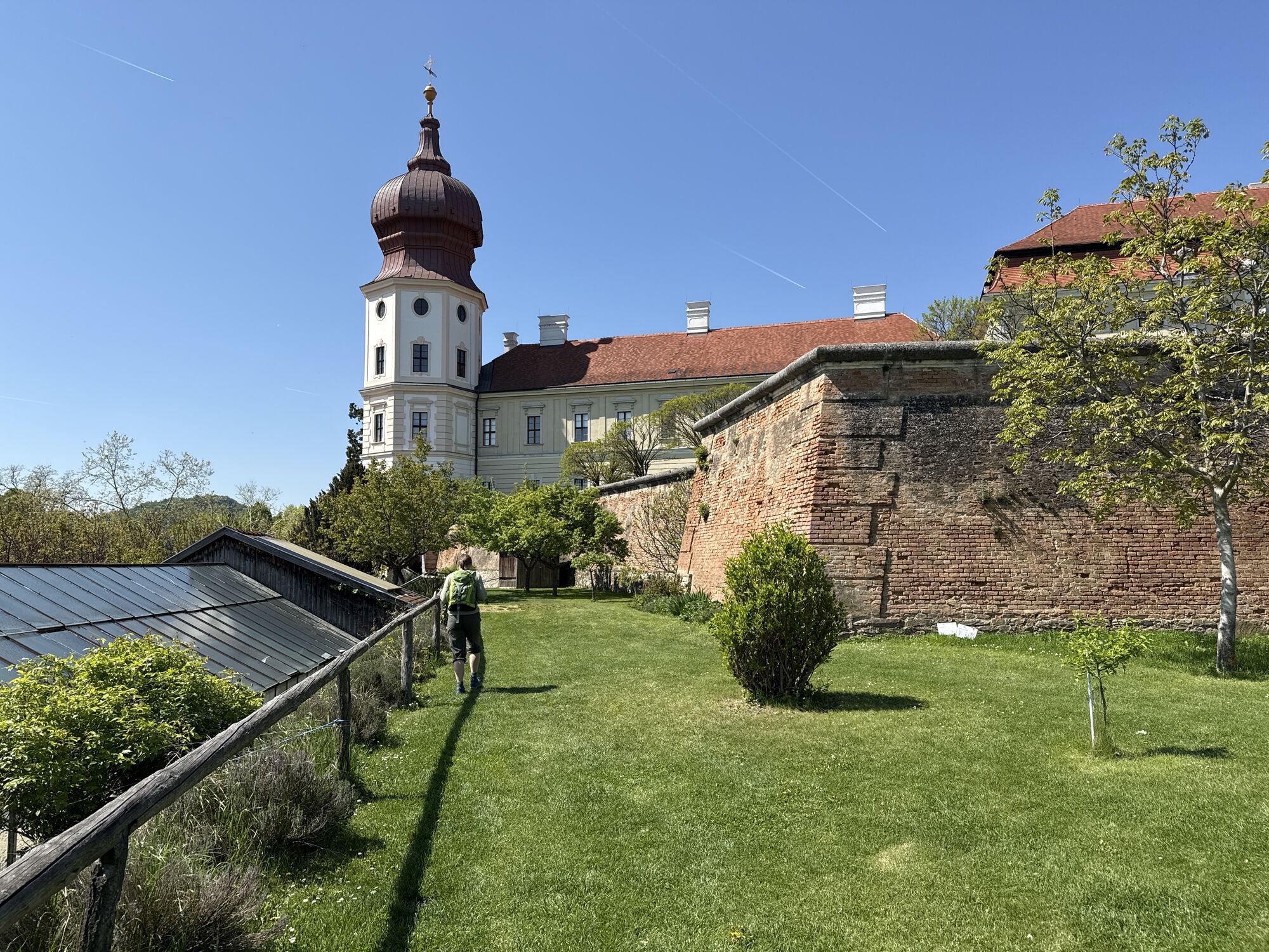
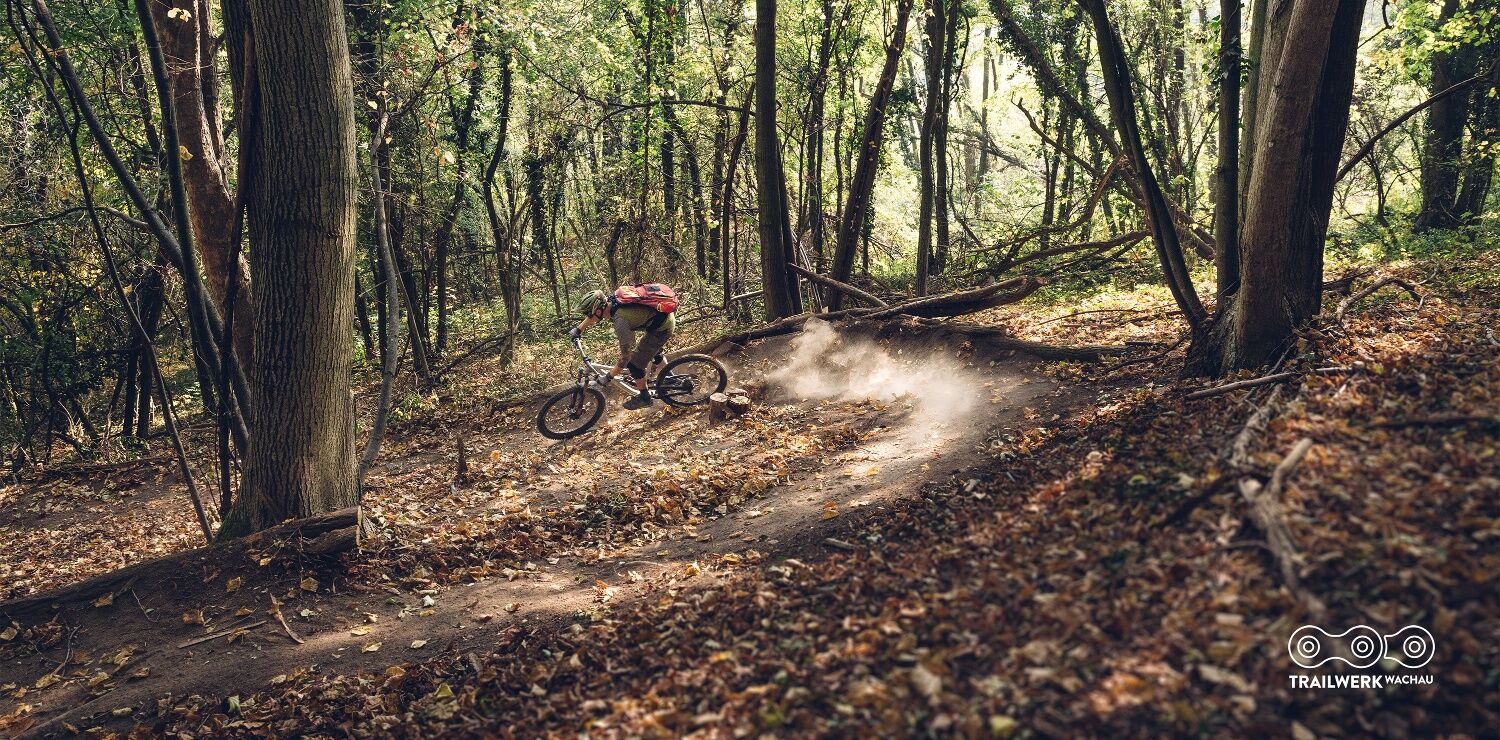

Die letzten Meter des Trails vor der Einmündung in den Villenwegteilen darf ein Wanderweg genutzt werde. Bitte vorsichtig, rücksichtsvoll und in Schrittgeschwindigkeit fahren. Wanderer haben hier Vorrang.
Um das Auto abzustellen, bietet sich der Parkplatz P5 an der Zufahrtsstraße zum Stift an. Dieser befindet sich direkt an der Trailarea Göttweig Base, die ein zentraler Ausgangspunkt für alle unsere Trails ist.
Eine weitere gute Parkmöglichkeit befindet sich auf der Rückseite des Stifts, beim Spielplatz.
Auf allen Parkplätzen und dem gesamten Stiftsareal ist Campen verboten!
Verantwortlicher für den Inhalt dieser Tour
Wachau-Nibelungengau-Kremstal
Obľúbené výlety v okolí
-
4,6
Welterbesteig Wachau 02: Dürnstein-Weißenkirchen
svetlodiaľková pešia trasa 15,9 km -
4,4
Welterbesteig Wachau 03: Weißenkirchen-Spitz
svetlodiaľková pešia trasa 10,4 km -
4,6
Welterbesteig Wachau 01: Krems-Dürnstein
svetlodiaľková pešia trasa 12,3 km -
4,8
Vogelbergsteig -Kanzel- Fesselhütte - Ruine Dürnstein zum Heurigen in Furth
strednáTuristika 7,59 km -
4,7
Wachau: Seekopf - Hirschwand
strednáTuristika 10,4 km -
4,7
Rundhöhenwanderweg Weißenkirchen in der Wachau - Schildhütten - Cholerakreuz - Weißenkirchen
svetloTuristika 8,75 km -
4,6
Krems (Welterbesteig) - Dürnstein - Vogelbergsteig - Kanzel - Fesslhütte - Krems
strednáTuristika 18,0 km -
4,5
Maria Langegg - Rote Wand - Hoher Stein - Kastlkreuz
strednáTuristika 11,4 km -
4,5
Panoramaweg Weissenkirchen
svetloTuristika 5,04 km -
4,4
Wachauer Marillenerlebnisweg, Krems-Angern
svetloTuristika 6,04 km
Turistika a stopovanie


Nenechajte si ujsť ponuky a inšpiráciu na ďalšiu dovolenku
Vaša e-mailová adresa bol pridaný do poštového zoznamu.





