Navigácia na stránke
Získajte túto prehliadku v mobilnom telefóne
Mapa
Via Sacra: complete route from Brunn am Gebirge to Mariazell
ťažké
Pútnická trasa
120,80 km
Naskenujte kód QR a spustite navigáciu v aplikácii bergfex
QR Code
Turistika a stopovanie

Via Sacra: complete route from Brunn am Gebirge to Mariazell
Vzdialenosť
120,8 km
Trvanie
36:00 h
Ascent
3 237 hm
Hladina mora
216 - 1 011 m
Stiahnutie skladby
Mapa
Via Sacra: complete route from Brunn am Gebirge to Mariazell
ťažké
Pútnická trasa
120,80 km

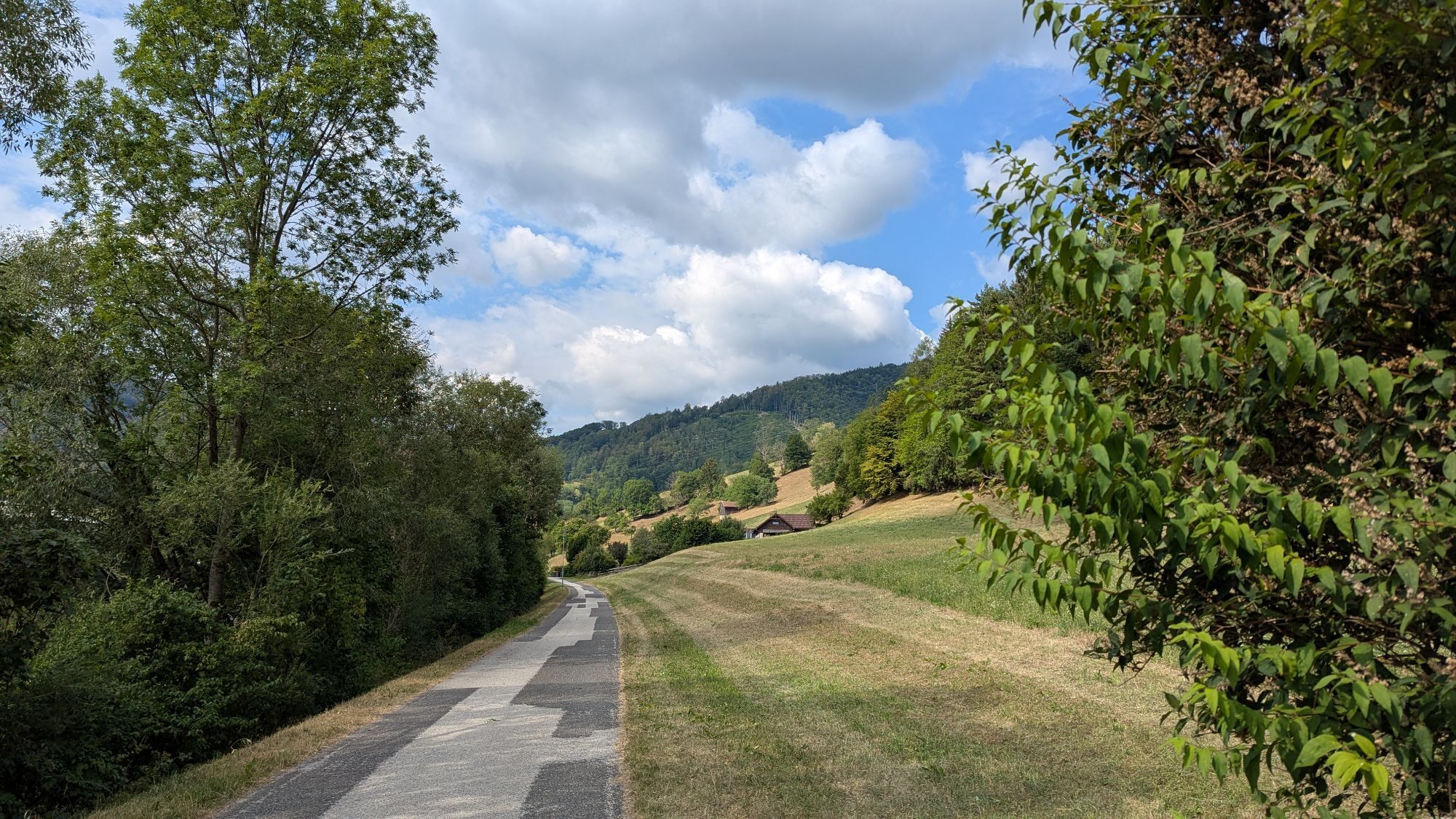
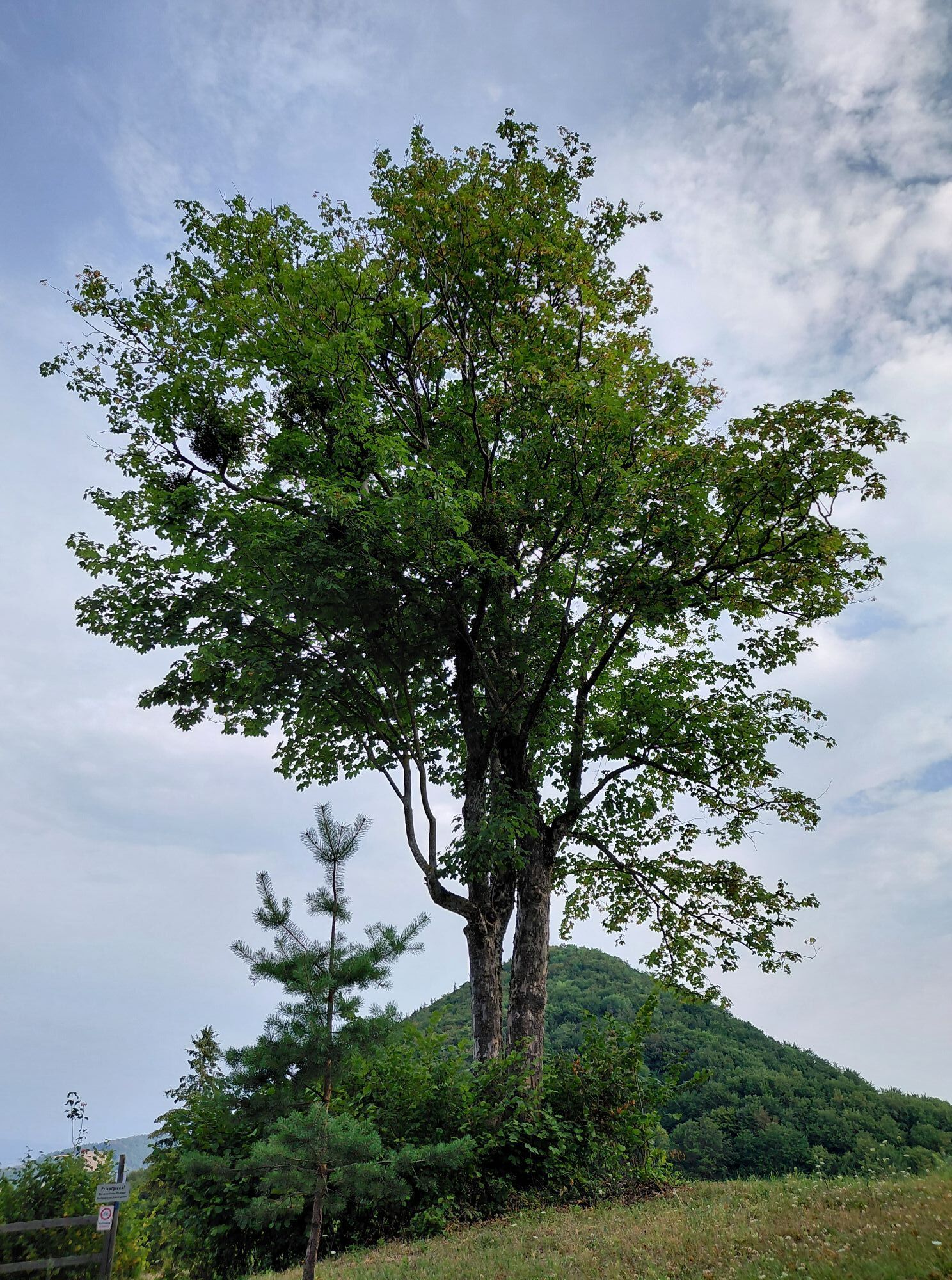
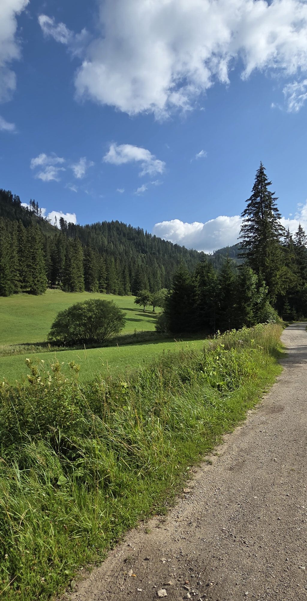
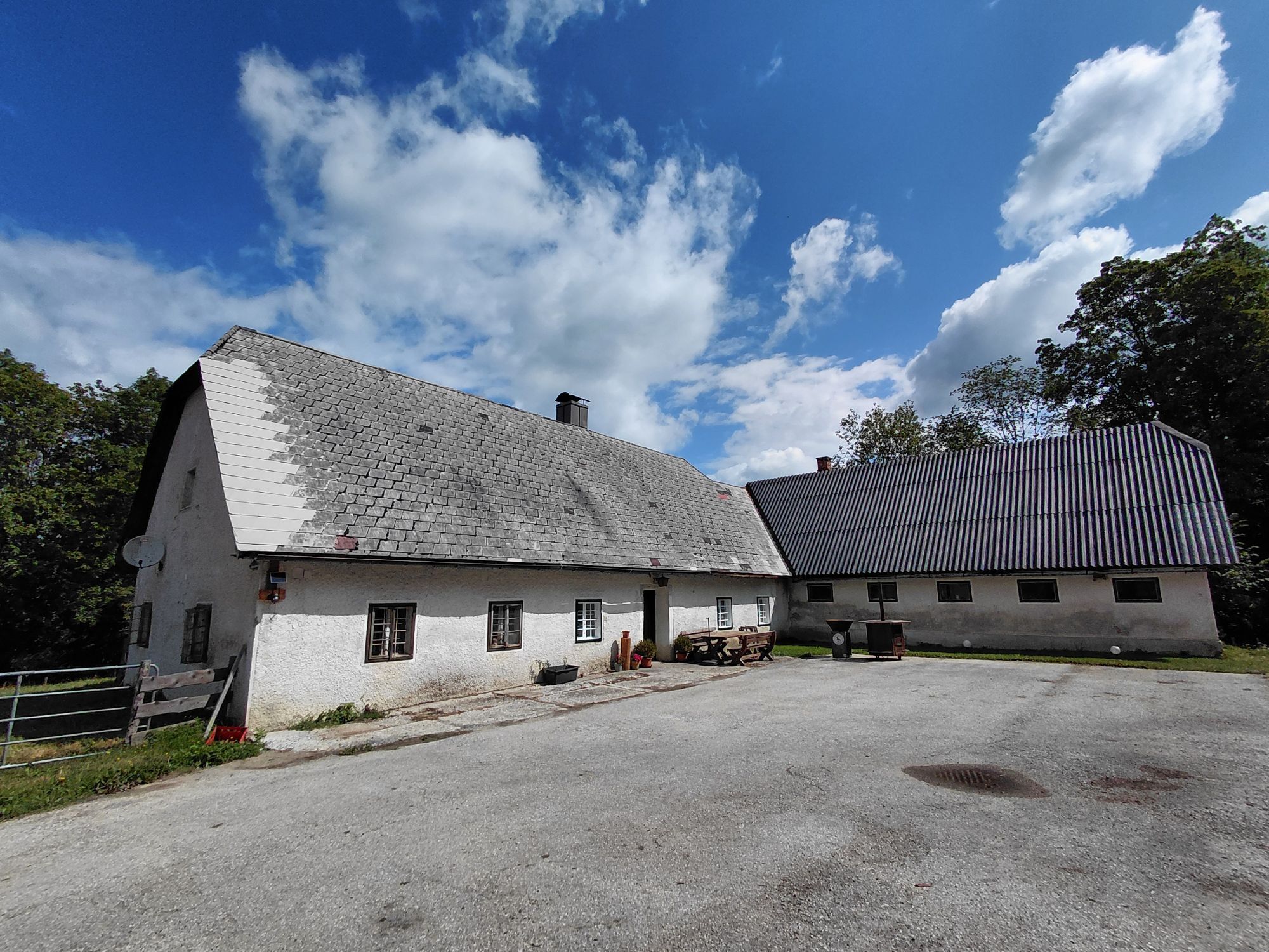
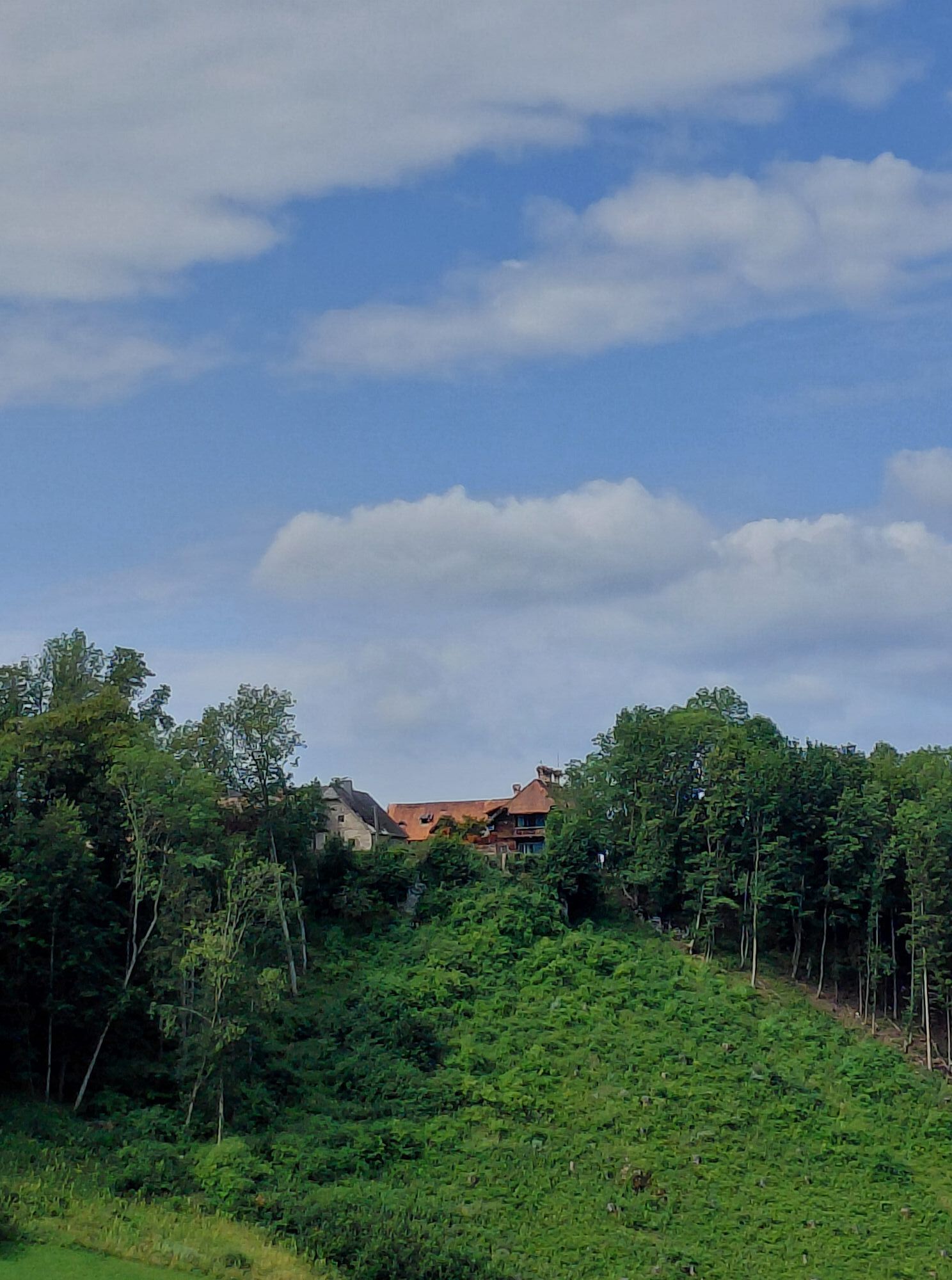
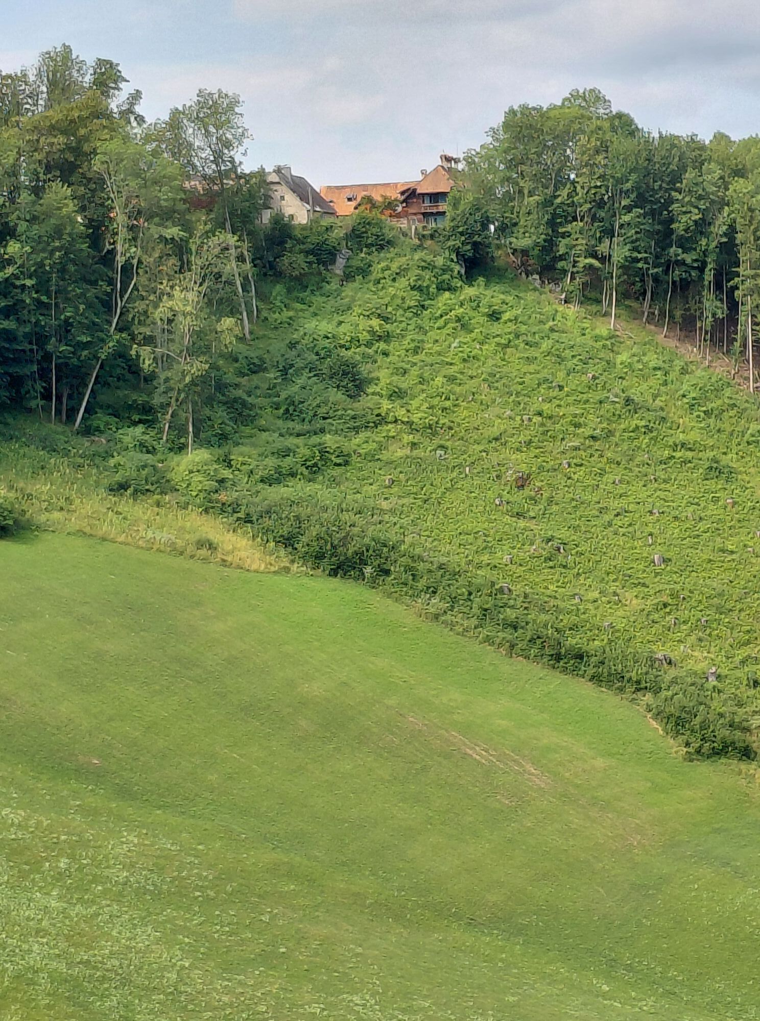
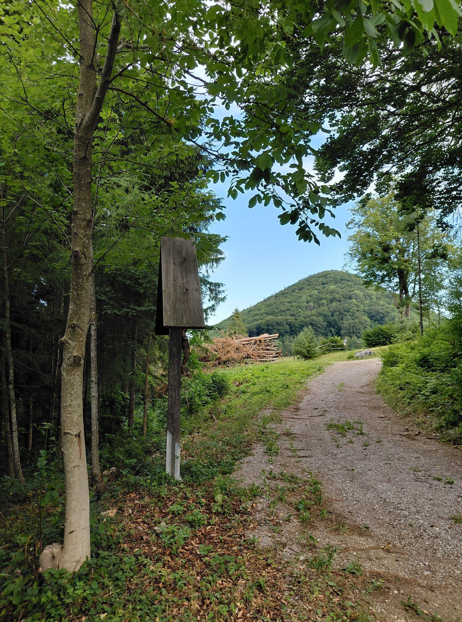
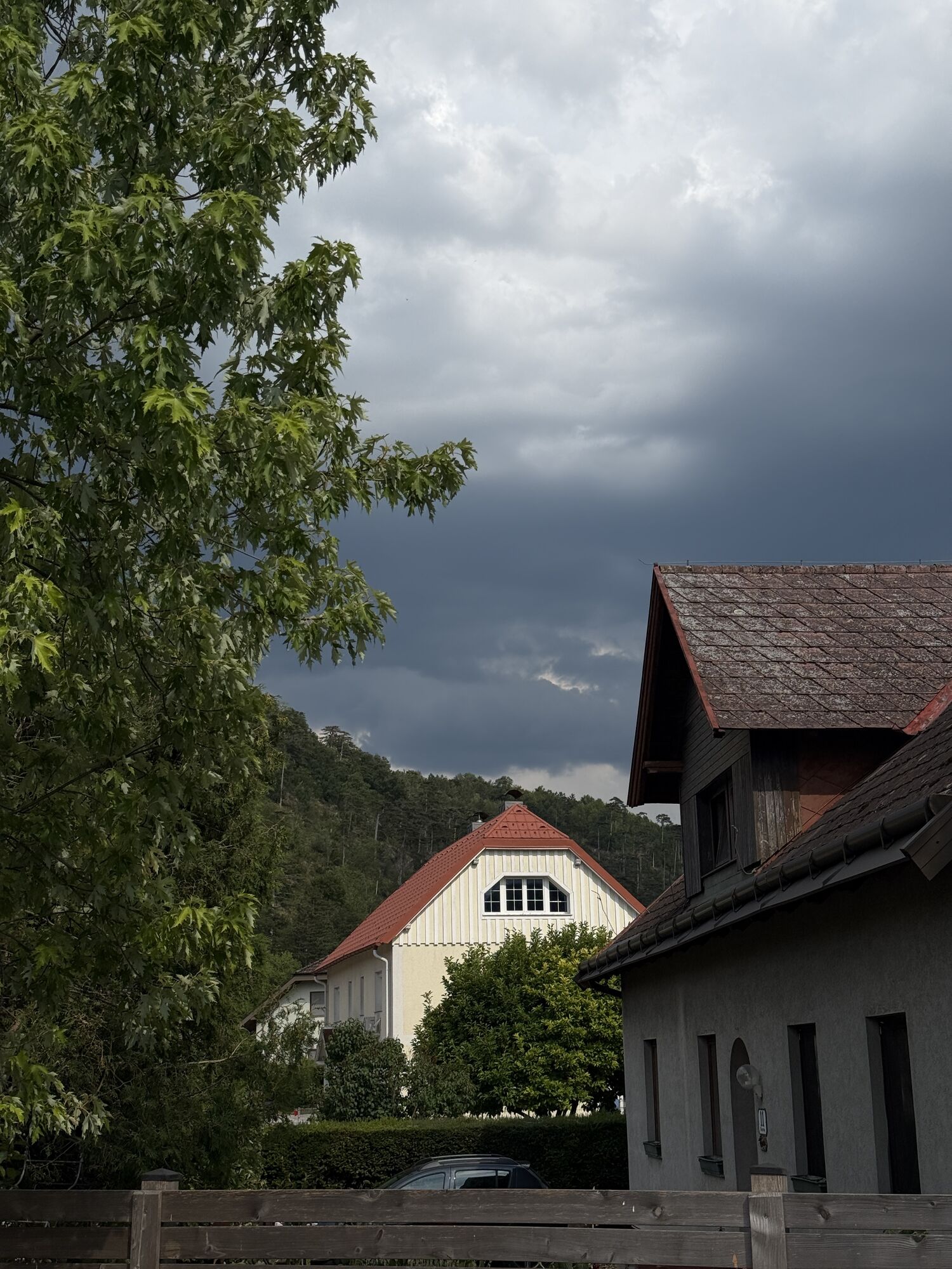
Fotografie našich používateľov

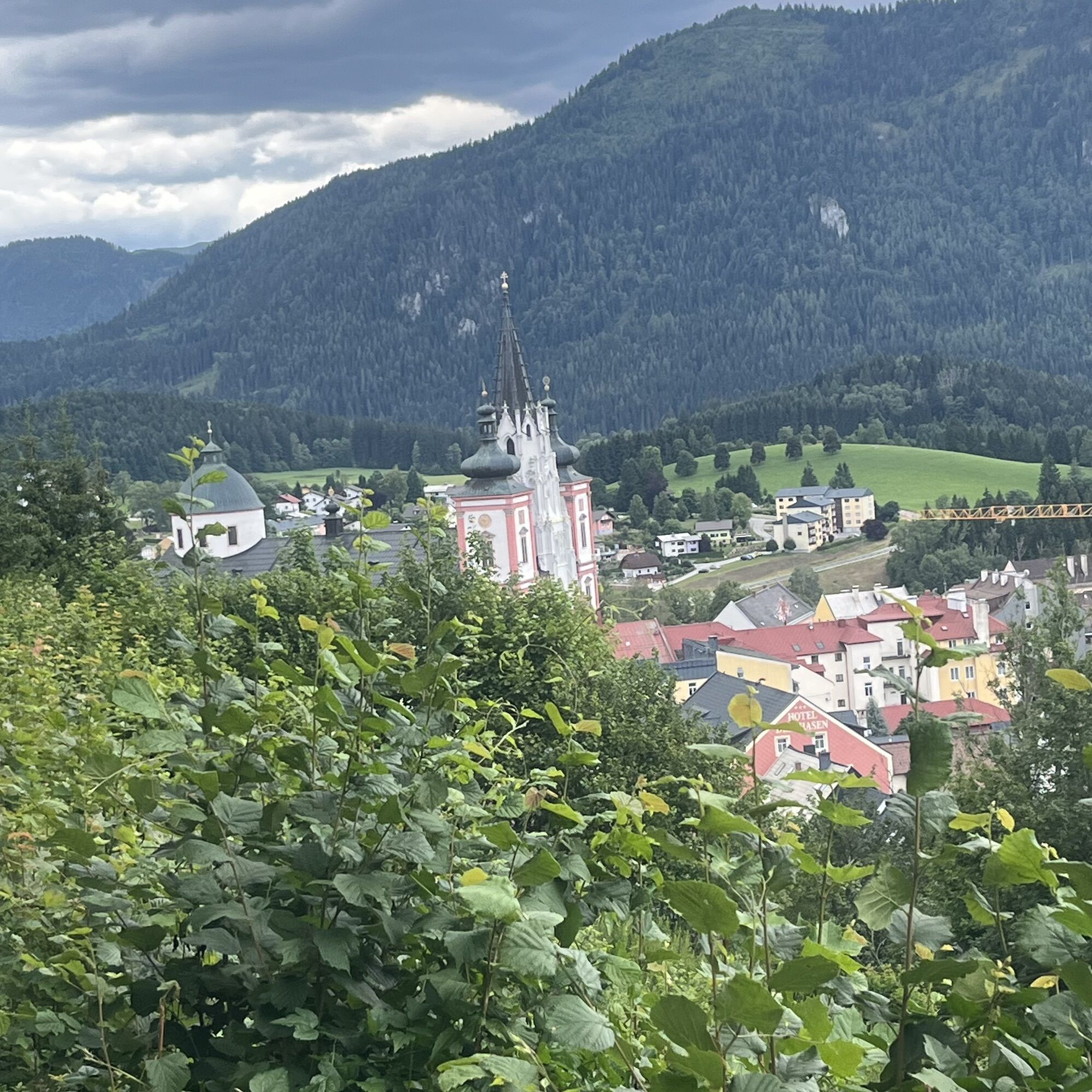
The Via Sacra, the "Holy Road", is the oldest and probably most popular pilgrimage route in Austria. The route is steeped in tradition and offers a wide range of places to stop for refreshments and overnight...

Opis

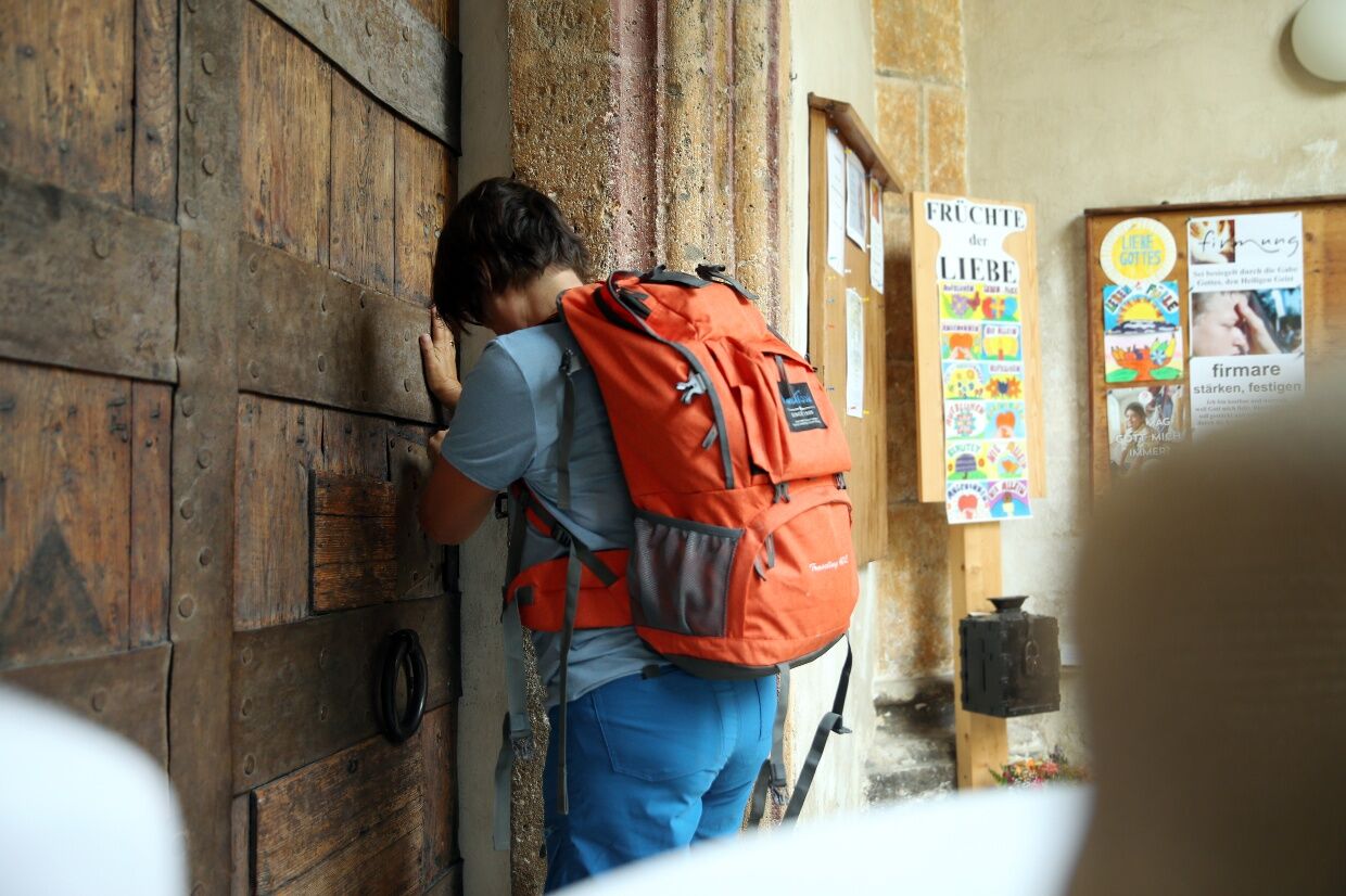
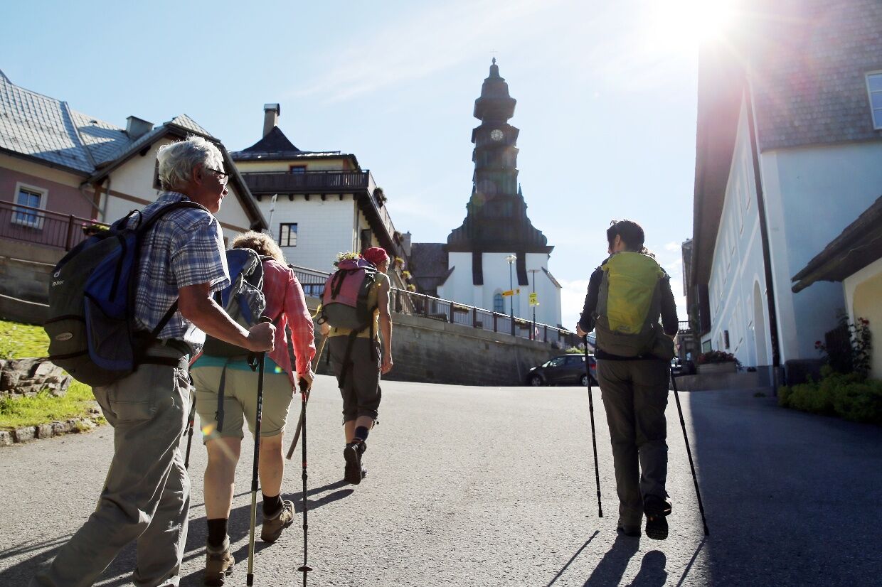
The Via Sacra, the "Holy Road", is the oldest and probably most popular pilgrimage route in Austria. The route is steeped in tradition and offers a wide range of places to stop for refreshments and overnight accommodation as well as guided hikes.

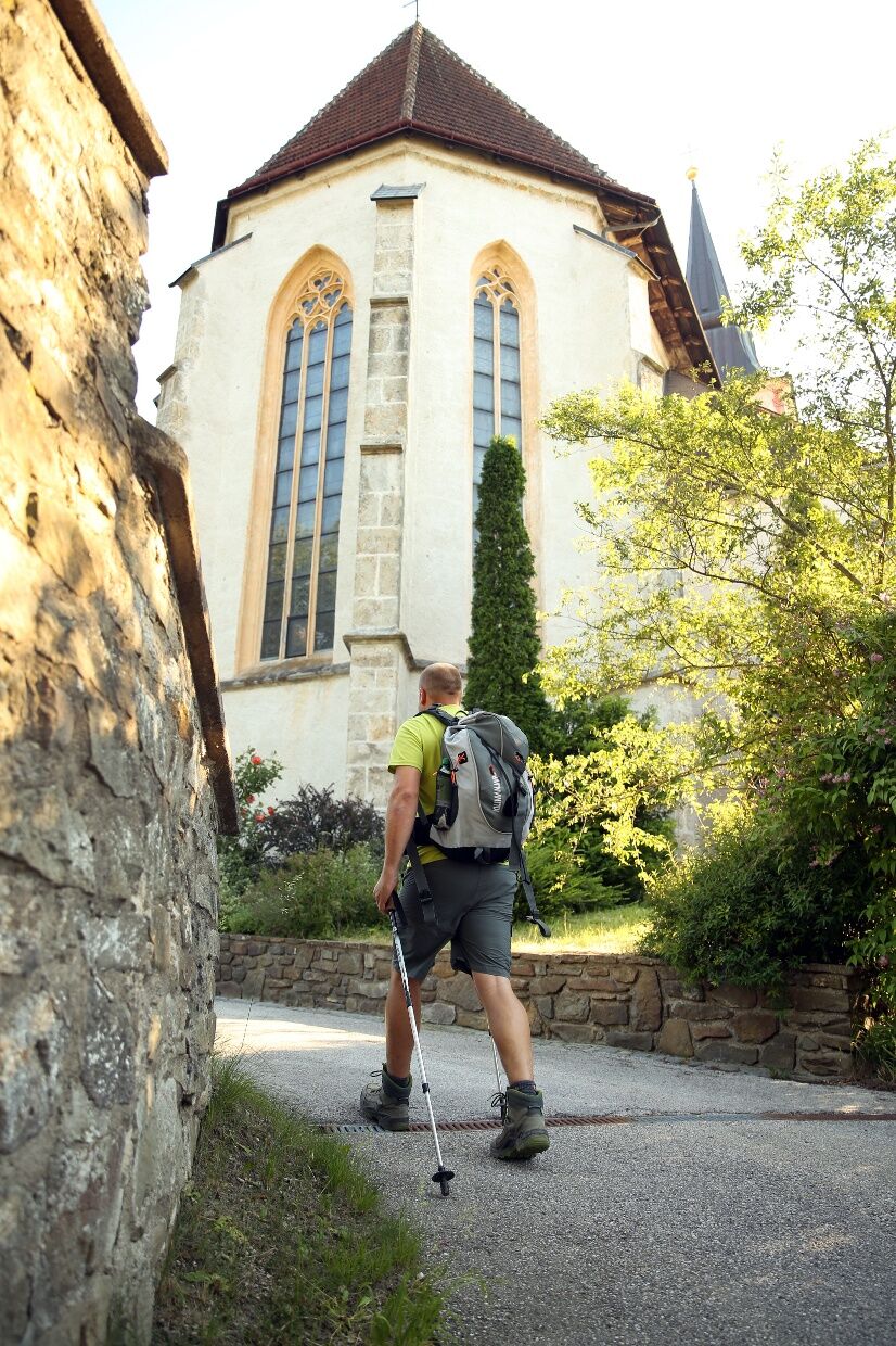
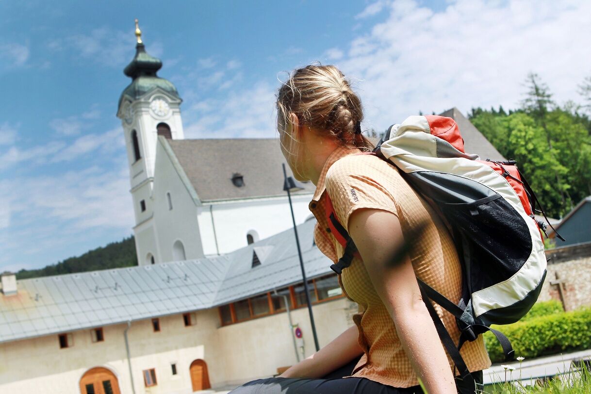
For over 800 years, ordinary believers as well as princes and emperors have made pilgrimages on the Via Sacra from Vienna to Mariazell, the most important place of pilgrimage in Central Europe. This long tradition has left behind a rich legacy of pilgrimage: From the southern outskirts of Vienna near the Spinnerin am Kreuz to Mariazell, the route is lined with wayside shrines, chapels and churches of art-historical significance. Spiritual stops include Heiligenkreuz Abbey, Klein-Mariazell Basilica, Lilienfeld Abbey and the Annaberg pilgrimage church on the first "Holy Mountain" in Ötscherland. Early on, inns specializing in pilgrims catered for the faithful. Today, certified Via Sacra hosts are the best places to stop off and stay overnight.

One advantage of this route is the "Mariazeller Autobus" (from Vienna/Südtiroler Platz via the A21 to Alland and further along the Via Sacra, from Lilienfeld also as an express route via the Westautobahn/St. Pölten).

This bus connection makes it possible to walk sections of the Via Sacra as day hikes. Timetable at www.postbus.at.

Trasa
Wagnerkogel
(299 m)
Summit
3,5 km
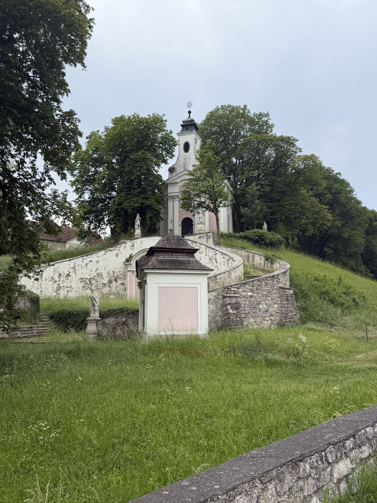
Kalvarienberg
(346 m)
Summit
17,6 km
Allander Höhe
(423 m)
Horský priechod
19,8 km
Sankt Michael
(493 m)
Miesto uctievania
39,9 km
Friedhofskapelle
(404 m)
Miesto uctievania
71,7 km
Annaberg
(976 m)
Horský priechod
101,5 km
Hohe-Kreuz-Kapelle
(926 m)
Miesto uctievania
109,4 km
Trasa
Mapa
Via Sacra: complete route from Brunn am Gebirge to Mariazell
ťažké
Pútnická trasa
120,80 km
Brunn-Maria Enzersdorf
(219 m)
Železničná stanica
0,0 km
Brunn am Gebirge
(224 m)
Dedina
0,2 km
Franziskaner- und Wallfahrtskirche Maria Enzersdorf
(222 m)
Miesto uctievania
0,7 km
Maria Enzersdorf
(221 m)
Dedina
1,0 km
Mödling
(227 m)
Mesto
2,1 km
Hotwagner
(287 m)
Reštaurácia
2,9 km
Wagnerkogel
(299 m)
Summit
3,5 km
Seegrotte
(250 m)
Vchod do jaskyne
4,2 km
Taverne zum Griechen
(248 m)
Reštaurácia
4,2 km
Hinterbrühl
(255 m)
Dedina
4,8 km
Hinterbrühler Felsentor
(304 m)
Vchod do jaskyne
5,2 km
Höldrichsmühle
(265 m)
Reštaurácia
6,0 km
Gasthaus zu den Linden
(309 m)
Reštaurácia
10,1 km
Gasthaus zur Krone
(310 m)
Reštaurácia
10,2 km
Gaaden
(313 m)
Dedina
10,8 km
Honigspitz
(343 m)
Summit
11,5 km
XI Statio
(342 m)
Miesto uctievania
17,5 km
XIIII Statio
(333 m)
Miesto uctievania
17,6 km
X Statio
(342 m)
Miesto uctievania
17,6 km
XIII Statio
(333 m)
Miesto uctievania
17,6 km
IX Statio
(341 m)
Miesto uctievania
17,6 km
XII Statio
(342 m)
Miesto uctievania
17,6 km
Kalvarienberg
(346 m)
Summit
17,6 km
VIII Statio
(340 m)
Miesto uctievania
17,7 km
VII Statio
(341 m)
Miesto uctievania
17,7 km
VI Statio
(341 m)
Miesto uctievania
17,8 km
V Statio
(341 m)
Miesto uctievania
17,8 km
IIII Statio
(337 m)
Miesto uctievania
17,8 km
III Statio
(332 m)
Miesto uctievania
17,8 km
II Statio
(326 m)
Miesto uctievania
17,9 km
I Statio
(321 m)
Miesto uctievania
17,9 km
Klostergasthof
(314 m)
Reštaurácia
18,1 km
Heiligenkreuz
(314 m)
Dedina
18,1 km
Sagbründl
(318 m)
Zdroj
18,2 km
Kerzengrotte
(315 m)
Vchod do jaskyne
18,2 km
Lourdesgrotte
(319 m)
Vchod do jaskyne
18,3 km
Schüttkastenhöhle
(315 m)
Vchod do jaskyne
18,3 km
Allander Höhe
(423 m)
Horský priechod
19,8 km
Gasthof zum Alten Jagdschloss
(315 m)
Reštaurácia
21,1 km
Mayerling
(312 m)
Dedina
21,2 km
Untermeierhof
(338 m)
Zúčtovanie
22,9 km
Maria Raisenmarkt
(369 m)
Dedina
24,0 km
Hll. Philipp und Jakobus
(371 m)
Miesto uctievania
24,2 km
Holzschlag
(569 m)
Zúčtovanie
26,2 km
Gasthof am Holzschlag
(581 m)
Reštaurácia
26,3 km
Nöstach
(442 m)
Dedina
28,3 km
Gasthof zur Linde
(476 m)
Reštaurácia
29,6 km
Unsere liebe Frau
(478 m)
Miesto uctievania
29,7 km
Hafnerberg
(478 m)
Horský priechod
29,7 km
Gasthaus kleiner Semmering
(476 m)
Reštaurácia
29,7 km
Hansihöhle
(459 m)
Vchod do jaskyne
30,4 km
Zum schwarzen Adler
(395 m)
Reštaurácia
31,3 km
Altenmarkt an der Triesting
(410 m)
Dedina
31,7 km
Wallfahrtskirche zum leidenden Heiland
(412 m)
Miesto uctievania
33,1 km
Dornau
(410 m)
Zúčtovanie
33,3 km
Thenneberg
(413 m)
Dedina
33,5 km
Gasthof Renzenhof
(437 m)
Reštaurácia
36,8 km
Untertriesting
(439 m)
Zúčtovanie
36,9 km
Stangls
(450 m)
Reštaurácia
37,5 km
Kaumberg
(477 m)
Dedina
39,7 km
Kirchenwirt
(479 m)
Reštaurácia
39,8 km
Sankt Michael
(493 m)
Miesto uctievania
39,9 km
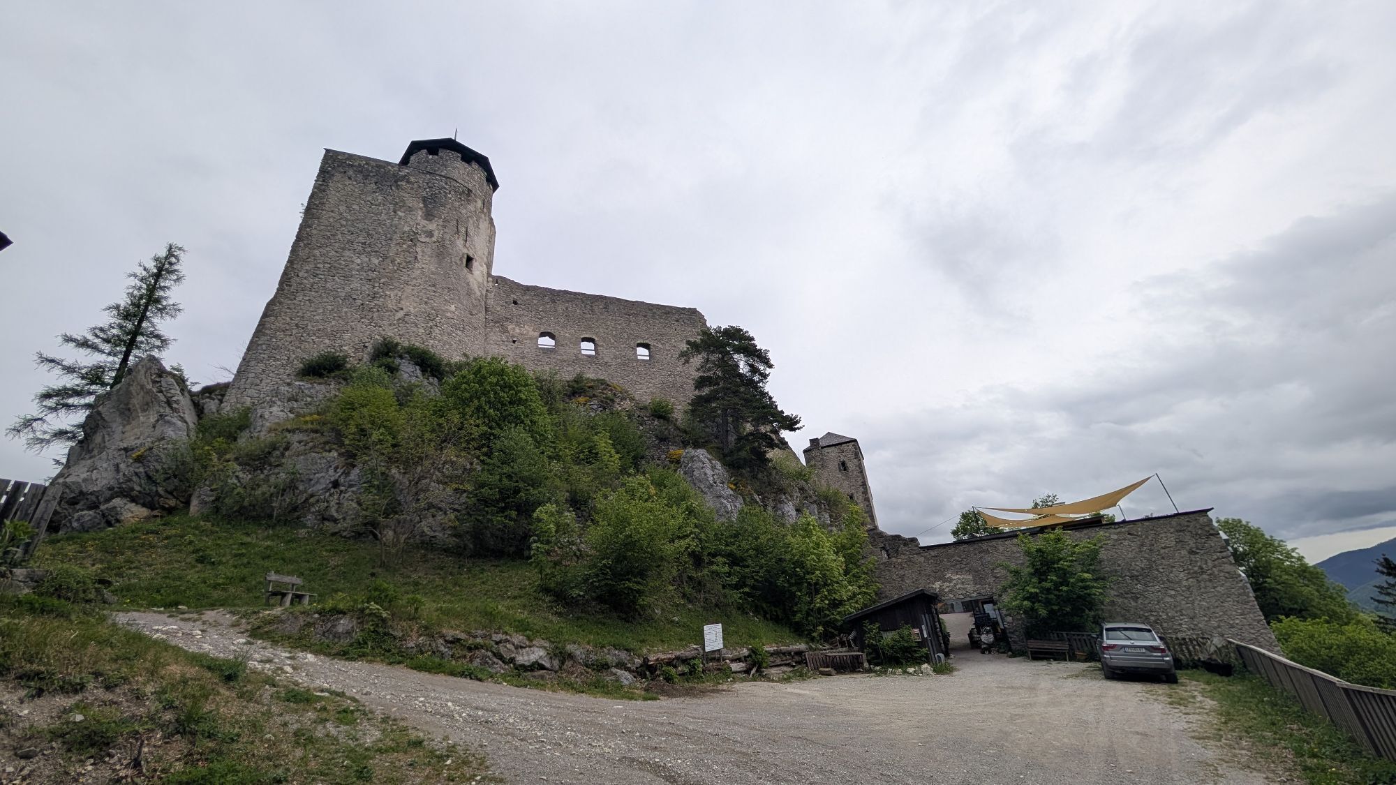
Burgstüberl Araburg
(781 m)
Reštaurácia
42,9 km
Hainfeld
(424 m)
Mesto
51,4 km
Rohrbach an der Gölsen
(404 m)
Železničná stanica
55,2 km
Gasthaus Linsbichler
(403 m)
Reštaurácia
55,2 km
Rohrbach an der Gölsen
(402 m)
Dedina
55,3 km
Pfarrkirche hl. Bartholomäus
(402 m)
Miesto uctievania
55,4 km
Unterrohrbach
(400 m)
Susedstvo
55,4 km
Bernreit
(387 m)
Zúčtovanie
56,8 km
Rainfeld
(385 m)
Zúčtovanie
57,8 km
Kropfsdorf
(373 m)
Zúčtovanie
60,0 km
St. Veit an der Gölsen
(369 m)
Dedina
61,3 km
s'Wirtshaus Fam. Nathaniel
(369 m)
Reštaurácia
61,3 km
Pfarrkirche St. Veit
(369 m)
Miesto uctievania
61,4 km
Brillergraben
(438 m)
Koridor/terén
62,4 km
Brillergraben
(466 m)
Zúčtovanie
62,7 km
Hasenwirt
(419 m)
Reštaurácia
68,6 km
Vordereben
(632 m)
Zúčtovanie
70,6 km
Friedhofskapelle
(404 m)
Miesto uctievania
71,7 km
Stiftstaverne
(385 m)
Reštaurácia
72,3 km
Lilienfeld
(373 m)
Mesto
72,7 km
Stangental
(377 m)
Dedina
73,7 km
Schrambach
(386 m)
Dedina
75,9 km
Wirtshaus Am Steg
(385 m)
Reštaurácia
76,0 km
Außerfahrafeld
(398 m)
Dedina
78,0 km
Freiland
(402 m)
Dedina
78,8 km
Lehenrotte
(413 m)
Dedina
81,3 km
Pfarrkirche hl. Leonhard
(415 m)
Miesto uctievania
81,3 km
Moosbach
(423 m)
Zúčtovanie
83,0 km
Pfarrkirche St. Martin
(466 m)
Miesto uctievania
88,1 km
Johannes-Kapelle
(469 m)
Miesto uctievania
88,3 km
Türnitz
(467 m)
Dedina
88,4 km
Anthofsiedlung
(479 m)
Susedstvo
89,5 km
Steinbachrotte
(530 m)
Zúčtovanie
93,1 km
Gstettenhof
(556 m)
Zúčtovanie
93,7 km
Wallfahrerkapelle
(582 m)
Miesto uctievania
95,2 km
Maria-Siebenbrunn
(592 m)
Miesto uctievania
95,7 km
Kehre 1 - Patsch Reith
(746 m)
Koridor/terén
100,3 km
Kehre 3 - Annabild Reith
(797 m)
Koridor/terén
100,5 km
Annaberg
(976 m)
Horský priechod
101,5 km
St. Anna
(976 m)
Miesto uctievania
101,6 km
Annaberg
(969 m)
Dedina
101,7 km
Kehre 8 - Hafner Reith
(886 m)
Koridor/terén
102,1 km
Gasthof Pension Sägemühle
(840 m)
Reštaurácia
103,0 km
Sägemühle
(841 m)
Zúčtovanie
103,1 km
Filialkirche hl. Joachim
(877 m)
Miesto uctievania
106,8 km
Schaglhof
(878 m)
Reštaurácia
106,8 km
Joachimsberg
(880 m)
Zúčtovanie
106,8 km
Wienerbruck
(795 m)
Dedina
108,4 km
Hohe-Kreuz-Kapelle
(926 m)
Miesto uctievania
109,4 km
Josefsrotte
(844 m)
Zúčtovanie
112,1 km
Eben
(851 m)
Zúčtovanie
112,7 km
Mitterbach-Seerotte
(789 m)
Dedina
114,1 km
Gasthaus Rauscher
(788 m)
Reštaurácia
114,1 km
Haus am Mitterbach'l
(789 m)
Reštaurácia
114,1 km
Filzwieser
(792 m)
Reštaurácia
114,2 km
St. Sebastian
(847 m)
Miesto uctievania
116,0 km
Sankt Sebastian
(867 m)
Dedina
119,5 km
Mariazell
(855 m)
Mesto
120,6 km
Informácie o prehliadke

Today, the historical route of the "Holy Road" corresponds to the federal roads 11 + 18 + 20. Spiritual stations are the Heiligenkreuz, Klein-Mariazell and Lilienfeld monasteries as well as the Annaberg pilgrimage church on the first "Holy Mountain" of the Ötscherland. In between, from the southern outskirts of Vienna near the Spinnerin am Kreuz to Mariazell, there are wayside shrines, chapels and churches of art-historical significance.
Today's Via Sacra pilgrimage route touches the historic pilgrimage stations, but runs away from the roads in between.

Technológia
n.a.
Stav
6 / 6
Krajina
5 / 6
Skúsenosti
6 / 6
Najlepšie ročné obdobie
Jan
Feb
Mar
Apr
Máj
Jún
Júl
Aug
Sep
Okt
Nov
Dec
Zdieľať prehliadku
Mapa
Via Sacra: complete route from Brunn am Gebirge to Mariazell
ťažké
Pútnická trasa
120,80 km
Chyba
Vyskytla sa chyba. Prosím, skúste to znova.
Informácie o trase
Trasa

Stage 1: Kaumberg - Hainfeld - Rohrbach - St. Veit - Lilienfeld

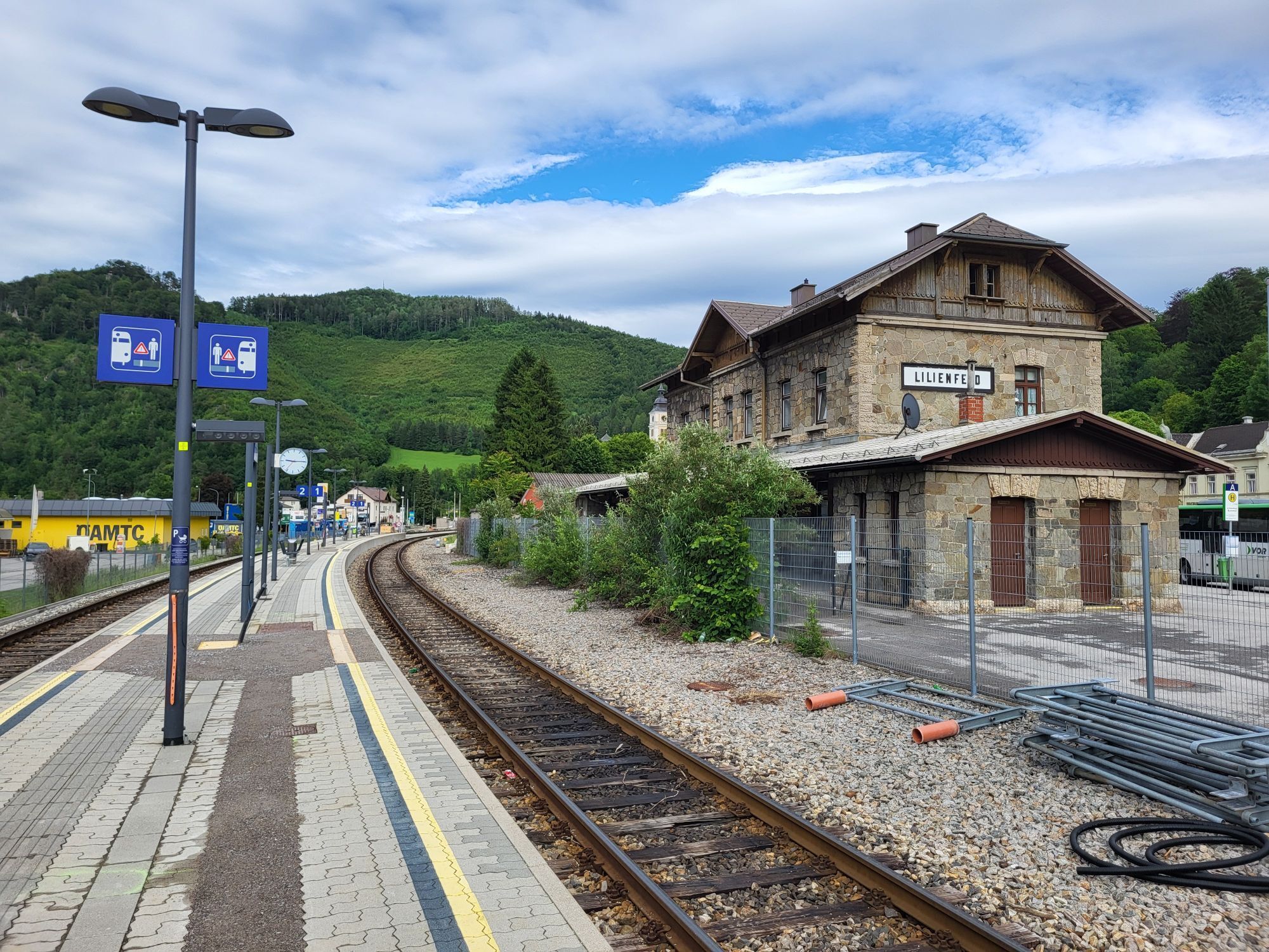
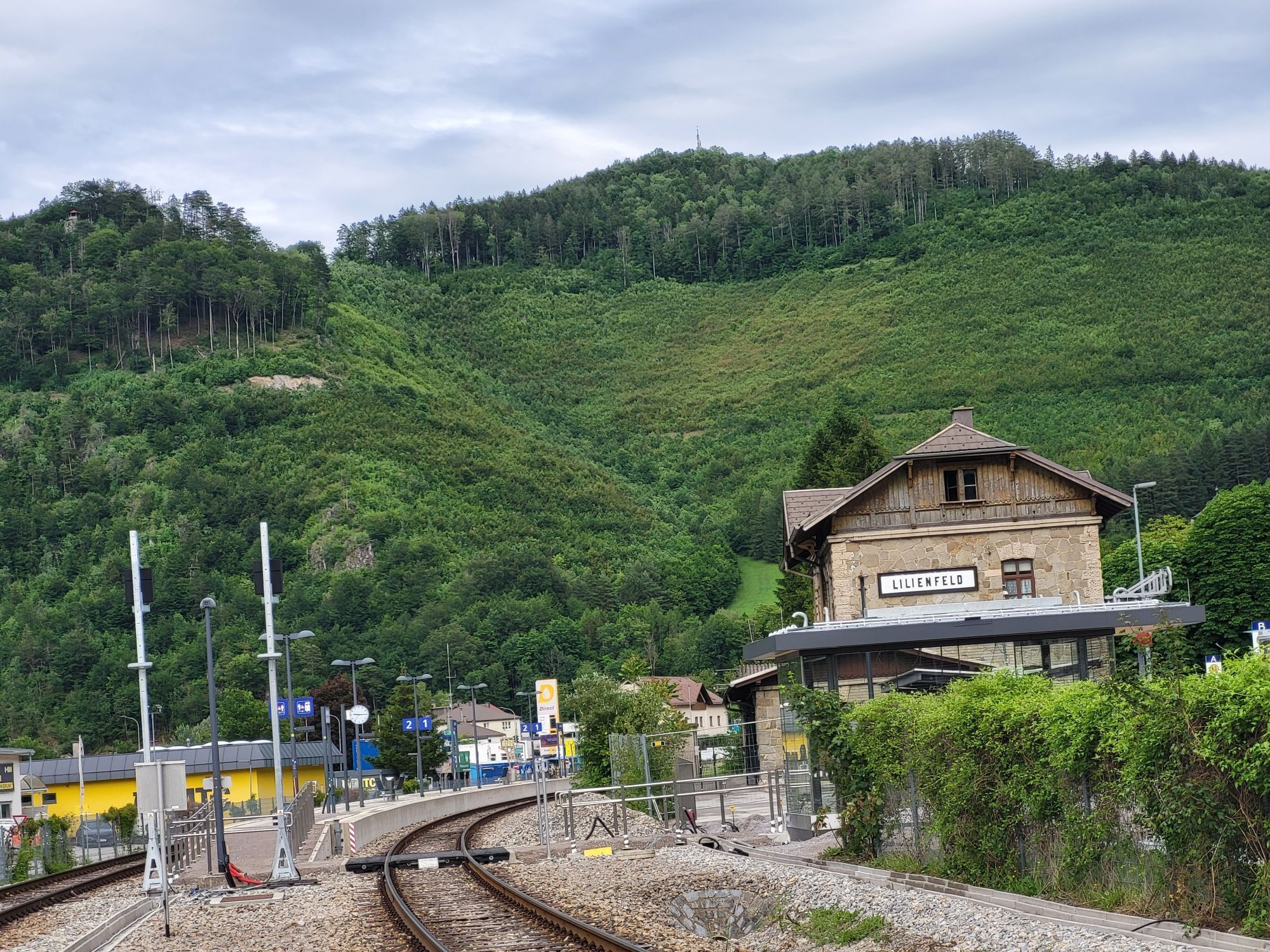
The Araburg (with hostel) is reached within an hour from Kaumberg. On the Via Sacra pilgrimage route one transits to the Gölsental following on to Hainfeld and Rohrbach, after which along the Gölsen one hikes to St. Veit with its -Dom of Gölsentals- (6 hours from Kaumberg). Further travel continues on the very rewarding mountain route with two increases through Staff - Wiesenbach - Vordereben to Lilienfeld (3 ¼ hours). Accommodation is in Lilienfeld.

Stage 2: Lilienfeld - Schrambach - Freiland - Lehenrotte - Türnitz - Annaberg.

The route in the Traisental, through Schrambach - Freiland - Lehenrotte, is accomplished consistently on flat walking and cycle paths, from Freiland to Dickenau partially along the Bundesstraße 20. From Dickenau one reaches, through the Eibentaler Klamm (gorges) forest paths and promenades, which far away from the road lead to Türnitz (4½ hours). Through the -Langen Wald- of the Türnitzschlucht, with its Baroque Stations of the Cross and the Chapel Siebenbrünn, a path along the main road leads up to Annabild-Reit (completed 2008). From there one reaches via a shortcut the Anna-Wallfahrtskirche (pilgrimage church) situated on the "1st Holy Mountain," with its view of the Ötscher, and which now accompanies the original Pilgrimage route (3 ½ to 4 hours). Accommodation is in Annaberg.

Informácie o príchode
Príchod

South motorway A2 towards Linz – continue on Vienna outer ring motorway A21 towards Linz/St. Pölten – exit Gießhübl towards Hinterbrühl.

S-Bahn line S3, bus.

Ďalšie informácie a tipy
Ďalšie informácie
Mostviertel Tourismus GmbH
Töpperchsloss Neubruck, Neubruck 2/10, 3283 Scheibbs
T +43/7482/20 444
info@viasacra.at
www.viasacra.at
Tipy

Recommended literature
Hiking guide Via Sacra – Vienna pilgrimage route, www.mostviertel.at 
Pilgrimage routes to Mariazell, www.styriabooks.at
Mariazell region and Ötscher, www.residenzverlag.at 
Zatiaľ žiadne recenzie
Napíšte recenziu

Recenzie pomáhajú ostatným používateľom vybrať si ďalšie dobrodružstvo. Prosím, hodnoťte len prehliadku, nie počasie alebo občerstvenie.

Vyberte jednu z hviezdičiek a ohodnoťte prehliadku
Zlé turné
Slabé turné
Priemerné turné
Dobrá prehliadka
Vynikajúca prehliadka
Turistika a stopovanie

Turistika a stopovanie

Turistika a stopovanie
Viac ako 550.000 návrhov výletov, podrobné mapy a intuitívny plánovač trás robia z aplikácie povinnú výbavu pre všetkých nadšencov prírody.
bergfex