







Bernhardiweg - Stage 1: Stift Zwettl - Jagenbach
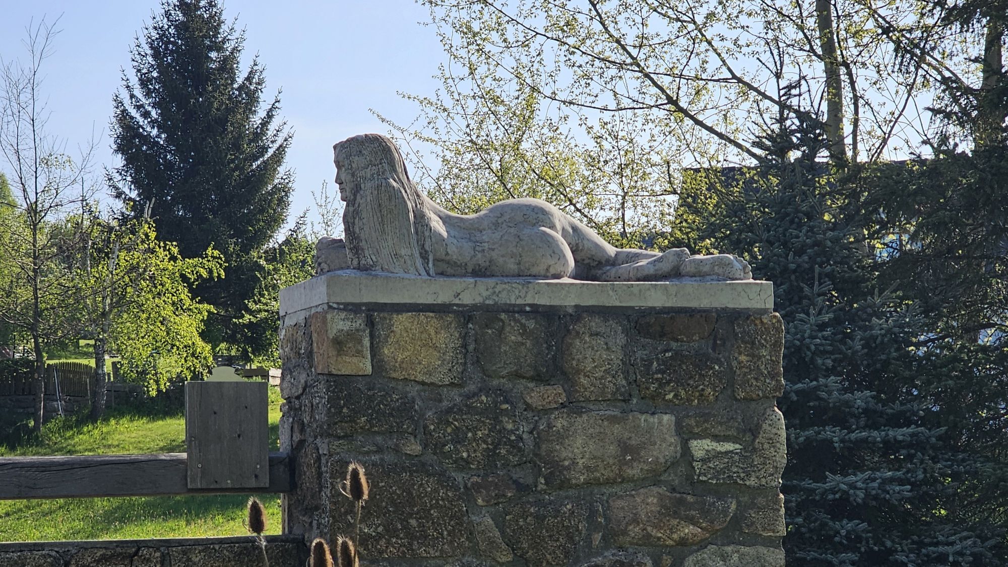
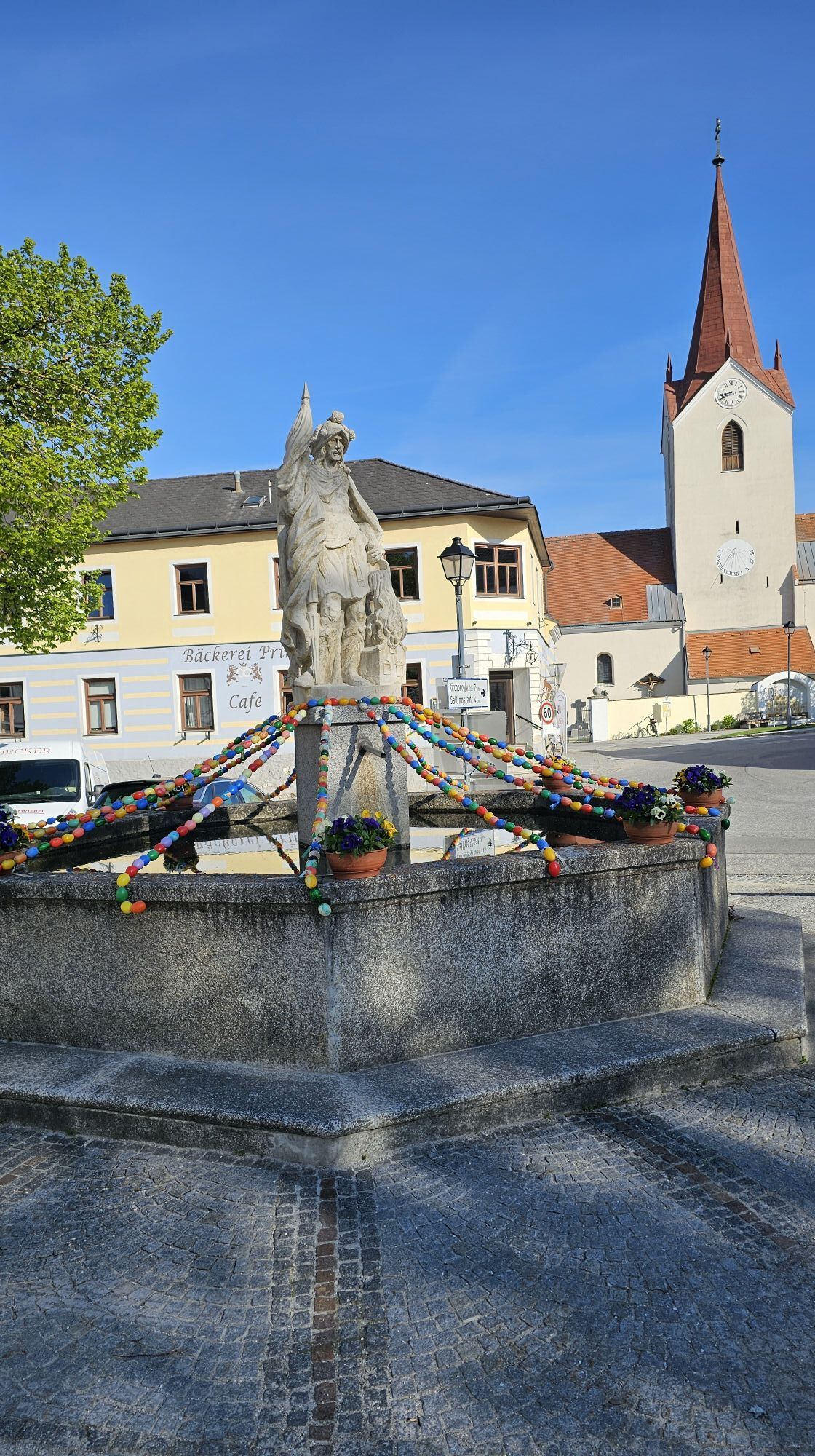
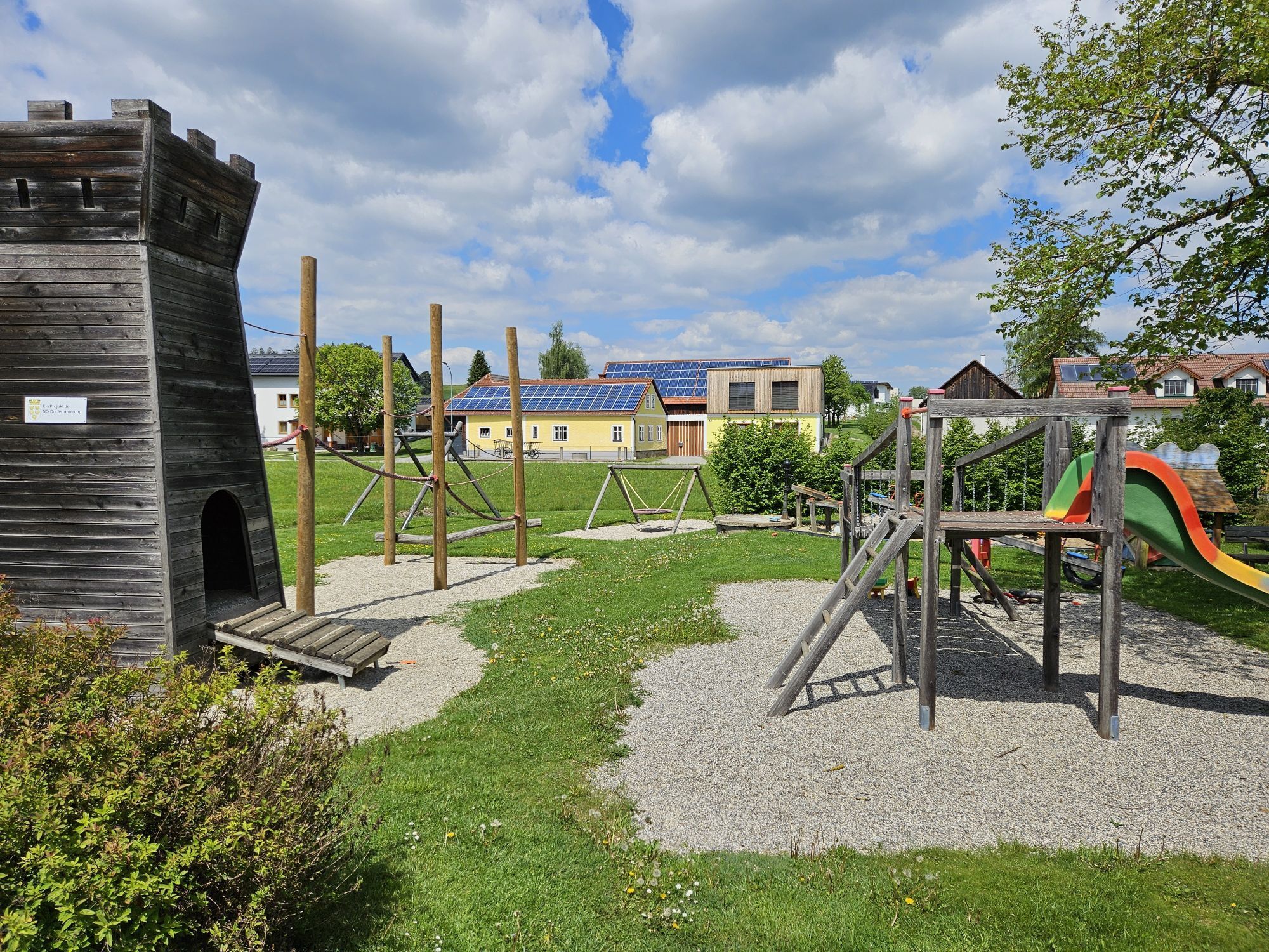
The Bernhardiweg is a pilgrimage route in the Waldviertel, Lower Austria, named after St. Bernhard of Clairvaux. It connects several historical and spiritual places and invites you to discover the rich...
The Bernhardiweg is a pilgrimage route in the Waldviertel, Lower Austria, named after St. Bernhard of Clairvaux. It connects several historical and spiritual places and invites you to discover the rich history and scenic beauty of the region.

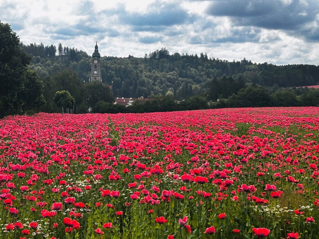

Stift Zwettl - Oberstrahlbach
The detailed route description from Stift Zwettl to Oberstrahlbach can be found here: https://www.zwalk.at/bernhardiweg-stift-zwettl-oberstrahlbach/
Oberstrahlbach - Sallingstadt
The detailed route description from Oberstrahlbach to Sallingstadt can be found here: https://www.zwalk.at/bernhardiweg-oberstrahlbach-sallingstadt/
Sallingstadt - Schweiggers
The detailed route description from Sallingstadt to Schweiggers can be found here: https://www.zwalk.at/bernhardiweg-sallingstadt-schweiggers/
Schweiggers - Jagenbach
The detailed route description from Schweiggers to Jagenbach can be found here: https://www.zwalk.at/bernhardiweg-schweiggers-jagenbach/
Sturdy footwear, functional clothing, sun and rain protection, maps, if applicable telescopic poles, first aid kit (blister plasters), sufficient provisions (snack, muesli bars, fruit, water).
Make sure that your chosen route matches your fitness level. Check whether the gastronomy businesses you want to visit along the way are open. Pack your charged mobile phone and map material into your backpack.
Find the best and fastest way to the starting point of the route through the route planner: https://www.google.at/maps
All information about all bus and train lines to the Waldviertel can be found at www.vor.at or at www.oebb.at.
Waldviertel Tourism
3910 Zwettl, Sparkassenplatz 1/2/2
(T) +43 2822 54109
(E) info@waldviertel.at
(I) www.waldviertel.at/pilgern-bernhardiweg
Obľúbené výlety v okolí
-
4,3
TiWaLi Kamptal-Weißenbach-Runde
svetloTuristika 10,6 km -
4,5
Teiche-Radroute (Strecke 2020) Niederösterreich
strednáCyklistika 48,7 km -
4,9
Mythologieweg Blockheide
svetloTuristika 4,96 km -
4,2
Blockheiderunde
svetloTuristika 6 km -
3,7
Knödel-Landradweg
strednáCyklistika 42,6 km -
4,6
Gmünd: Blockheide mit Wackelsteinen
svetloTuristika 8,14 km -
4,5
Roiten - Satzling - Hoher Stein - Gasthaus König
strednáTuristika 9,89 km -
4,0
Gmünd Blockheide
svetloTematická trasa 8,18 km -
4,8
Wasserwunderweg Zwettl
Turistika 19,2 km -
4,2
Stone Pyramid Hiking Trail
strednáTematická trasa 10,8 km
Turistika a stopovanie


Nenechajte si ujsť ponuky a inšpiráciu na ďalšiu dovolenku
Vaša e-mailová adresa bol pridaný do poštového zoznamu.





