


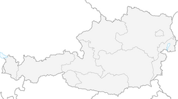


Bernhardiweg - Etappe 5: Wurmbrand - Etzen

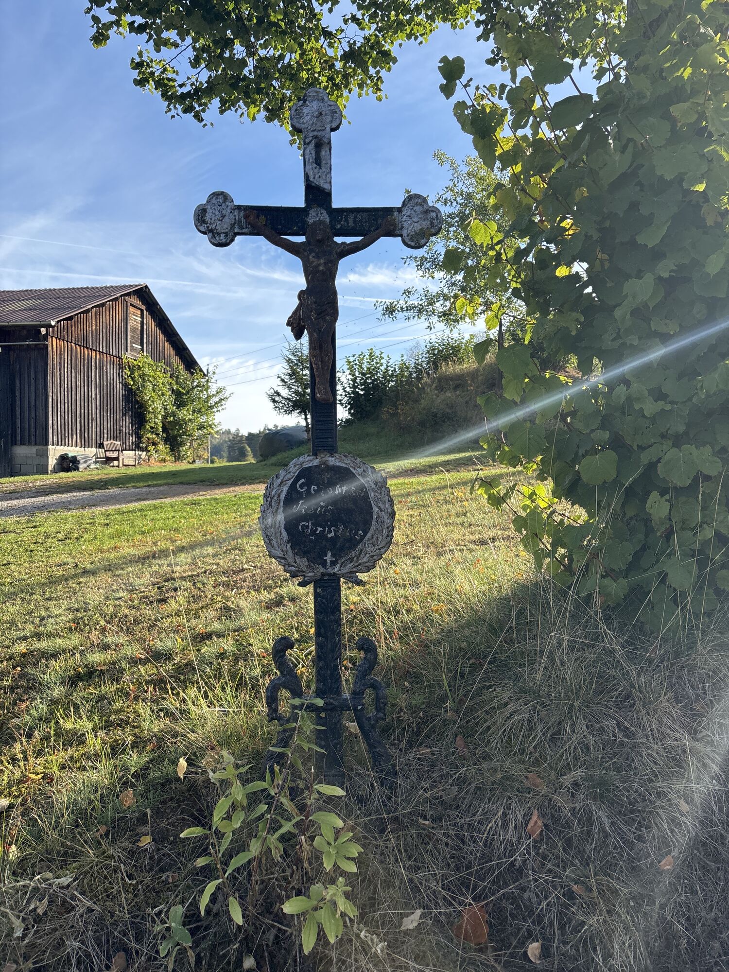
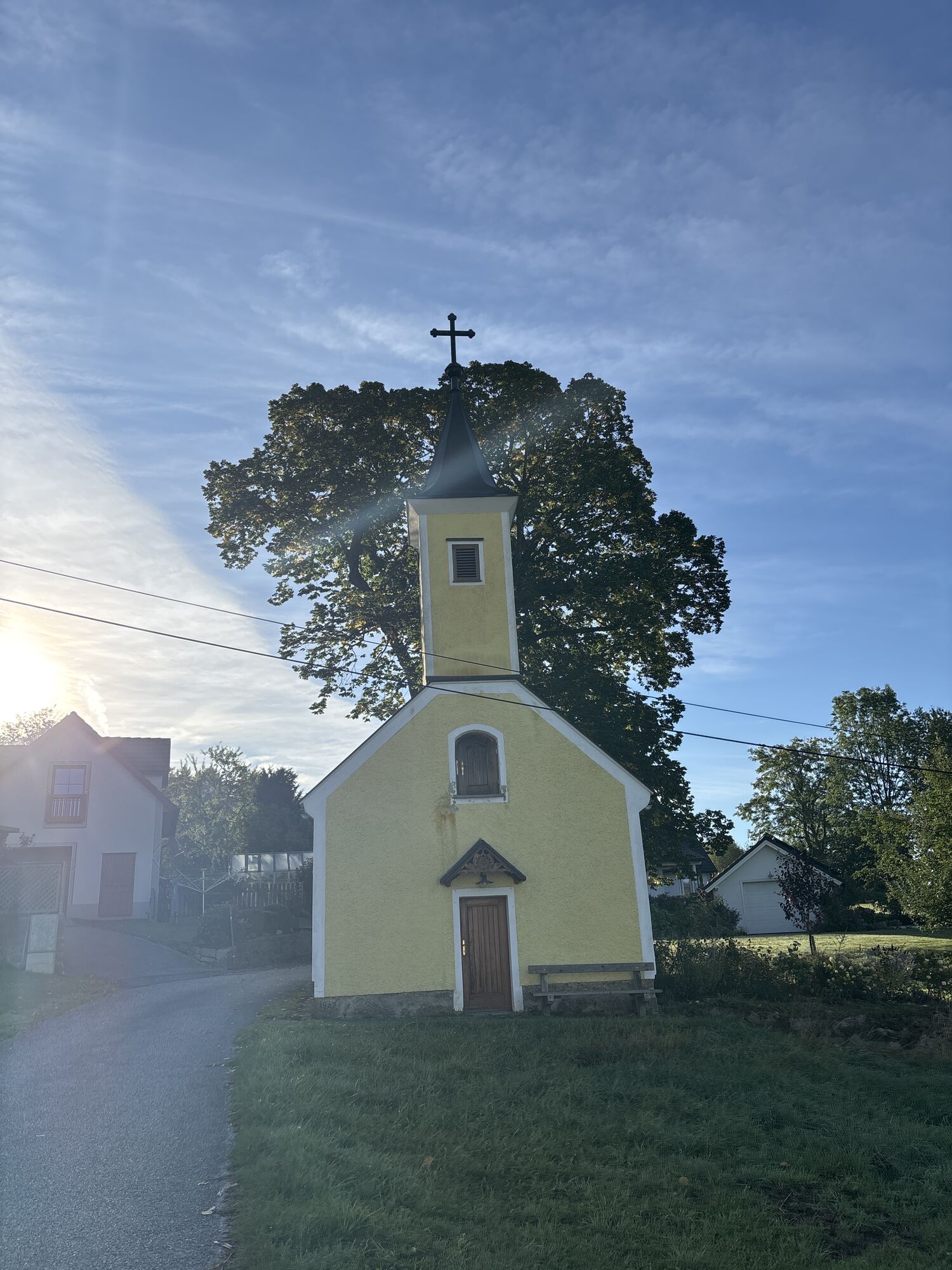
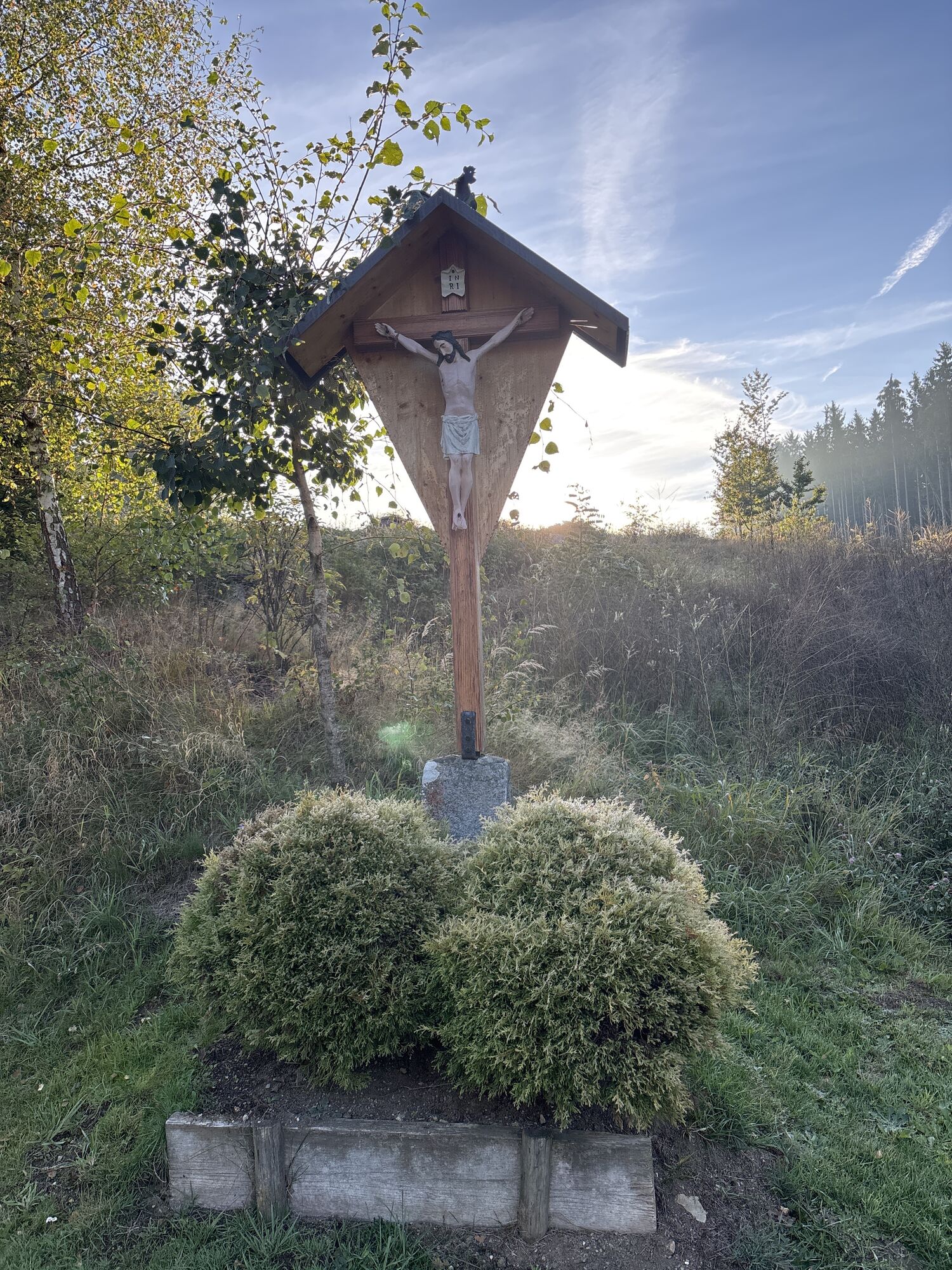
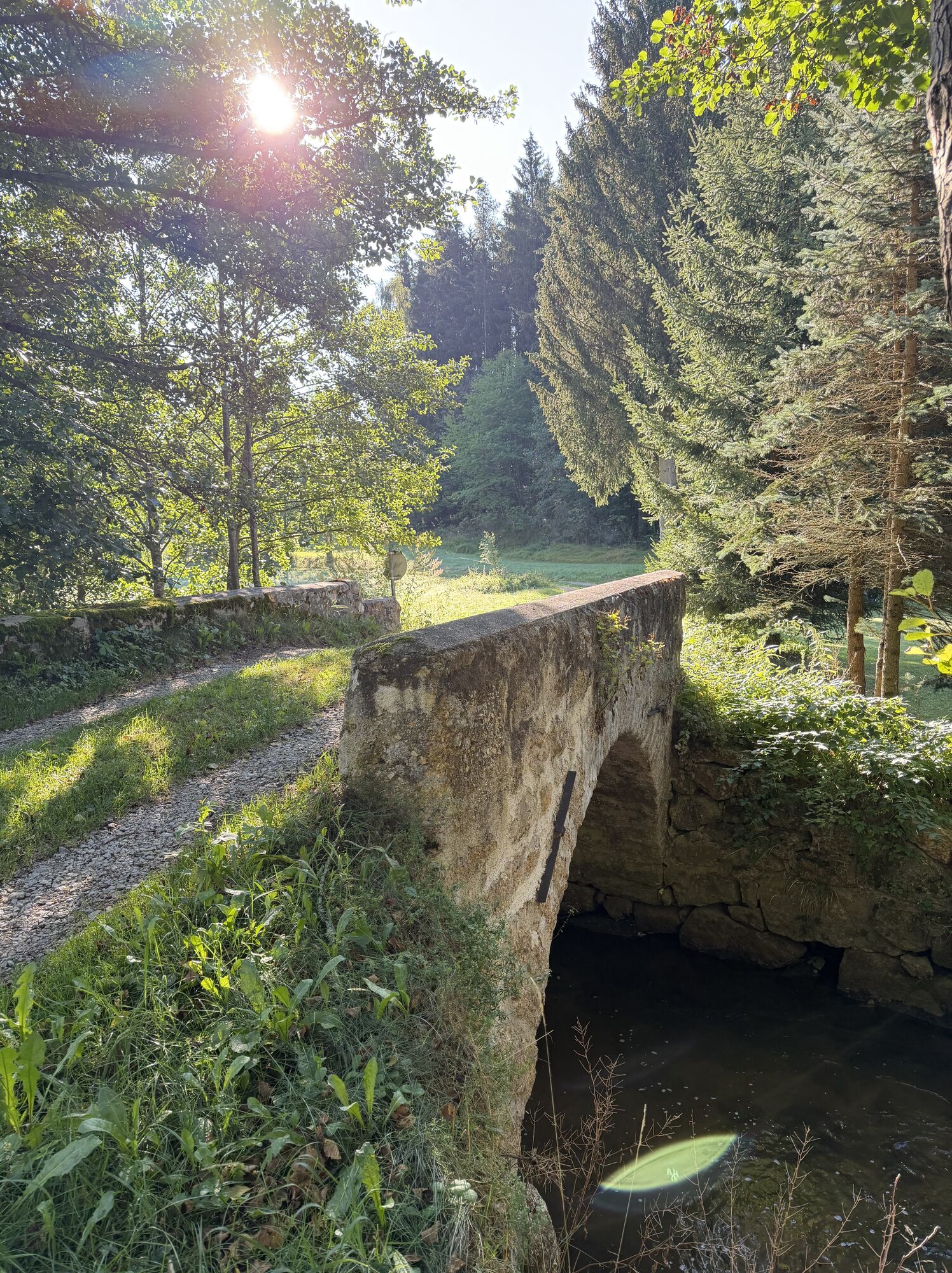
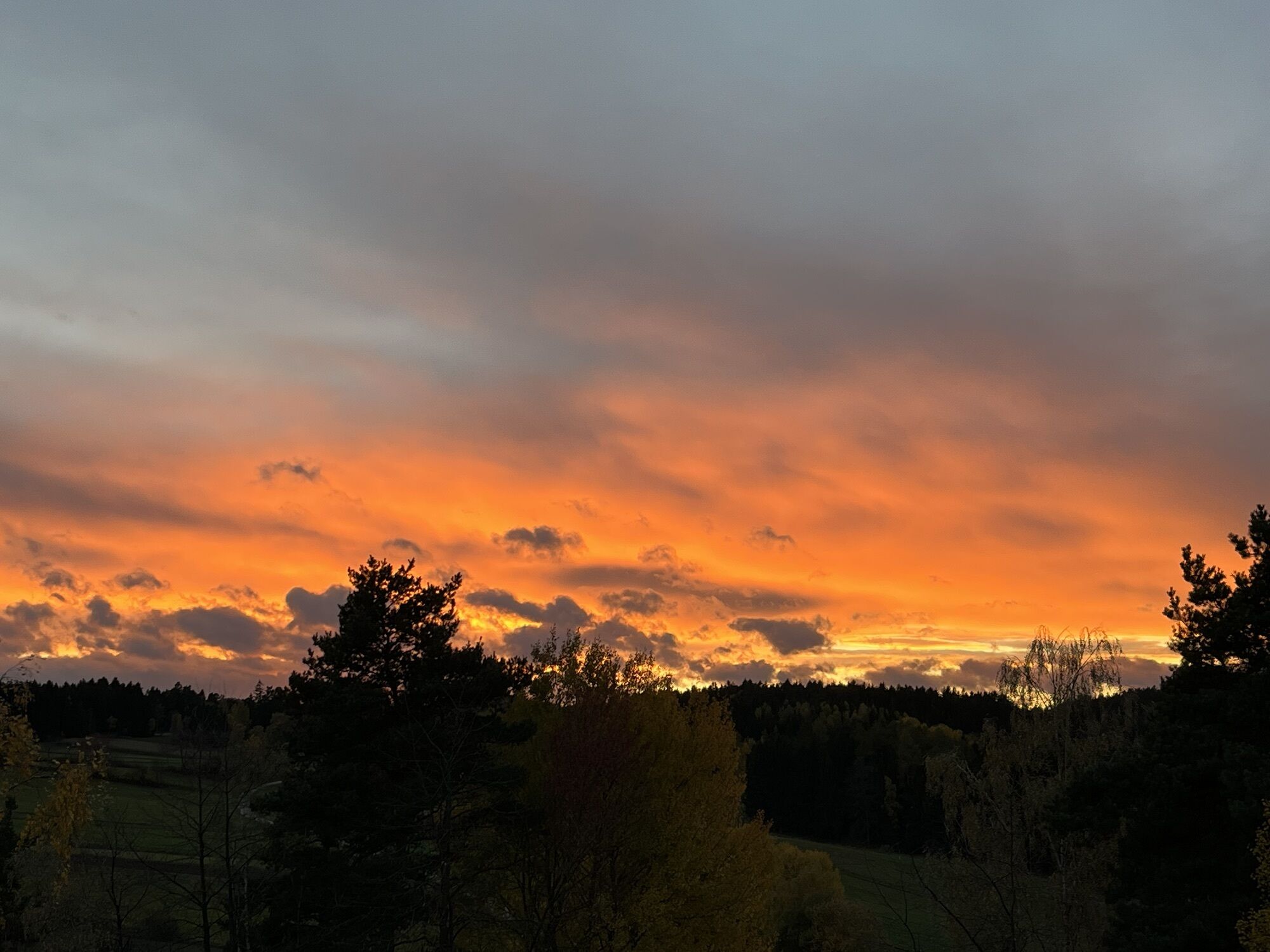
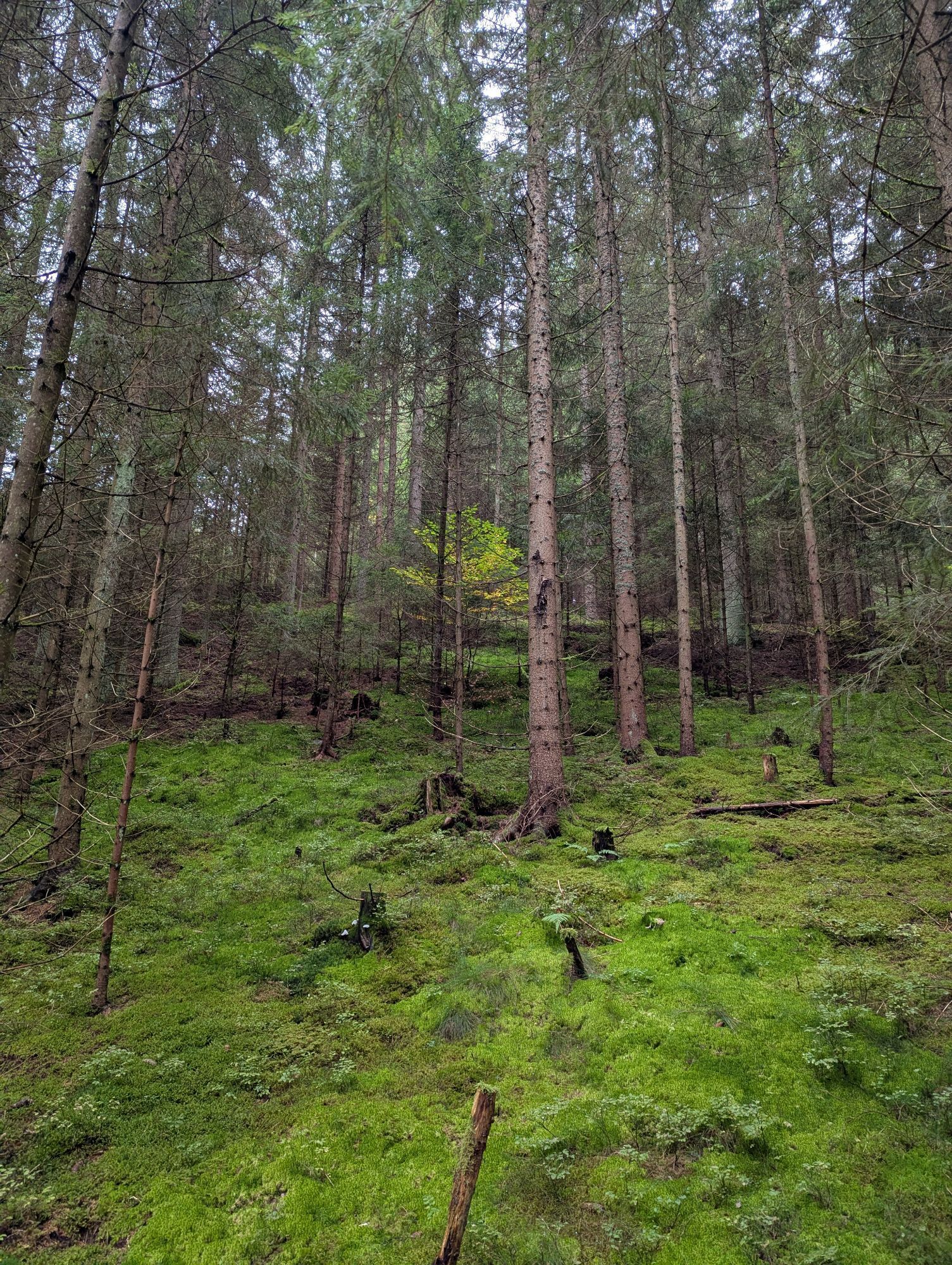
The Bernhardiweg is a pilgrimage route in the Waldviertel, Lower Austria, named after St. Bernhard of Clairvaux. It connects several historical and spiritual places and invites you to discover the rich...
The Bernhardiweg is a pilgrimage route in the Waldviertel, Lower Austria, named after St. Bernhard of Clairvaux. It connects several historical and spiritual places and invites you to discover the rich history and scenic beauty of the region.

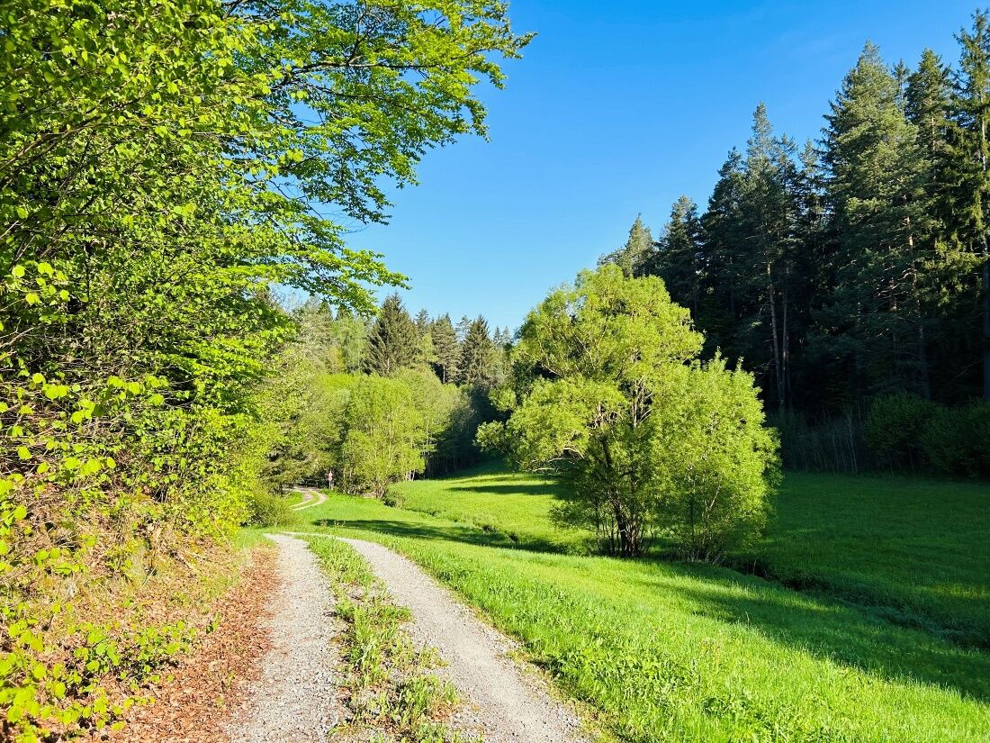

Wurmbrand - Groß Gerungs
You can find detailed directions from Wurmbrand to Groß Gerungs here: https://www.zwalk.at/bernhardiweg-wurmbrand-gross-gerungs/
Groß Gerungs - Etzen
You can find detailed directions from Groß Gerungs to Etzen here: https://www.zwalk.at/bernhardiweg-gross-gerungs-etzen/
Sturdy shoes, functional clothing, sun and rain protection, maps, trekking poles if needed, first-aid kit (blister bandages), and plenty of food (snacks, granola bars, fruit, water).
When choosing your route, make sure it’s appropriate for your fitness level. Check to see if the restaurants you plan to visit along the way are open. Pack your fully charged cell phone and maps in your backpack.
Use the route planner to find the best and fastest way to the tour's starting point: https://www.google.at/maps
Waldviertel Tourism
3910 Zwettl, Sparkassenplatz 1/2/2
(T) +43 2822 54109
(E) info@waldviertel.at


Obľúbené výlety v okolí
-
4,3
Wandern im Liebenauer Moor
svetloTuristika 4,16 km -
4,4
TiWaLi Kamptal-Weißenbach-Runde
svetloTuristika 10,6 km -
4,7
Höllfall und Lohnbachfall
Turistika 13,8 km -
4,6
Rappottenstein
svetloTuristika 10,1 km -
4,8
Lohnbachfallweg
svetloTuristika 11,8 km -
5,0
Liebenau Nr. 31 Kampursprung
svetloTuristika 10,3 km -
4,9
Wasserwunderweg Zwettl
Turistika 19,2 km -
4,5
Roiten - Satzling - Hoher Stein - Gasthaus König
strednáTuristika 9,89 km -
5,0
Kampschlucht u. Torbogen
svetloTuristika 14,8 km -
3,7
Pehendorf-Lohnbachfall Rundweg
svetloTuristika 8,10 km
Turistika a stopovanie


Nenechajte si ujsť ponuky a inšpiráciu na ďalšiu dovolenku
Vaša e-mailová adresa bol pridaný do poštového zoznamu.


