


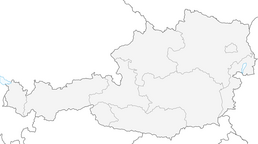


Way of St. James Mostviertel: 2nd stage: from Neustadtl to Wallsee

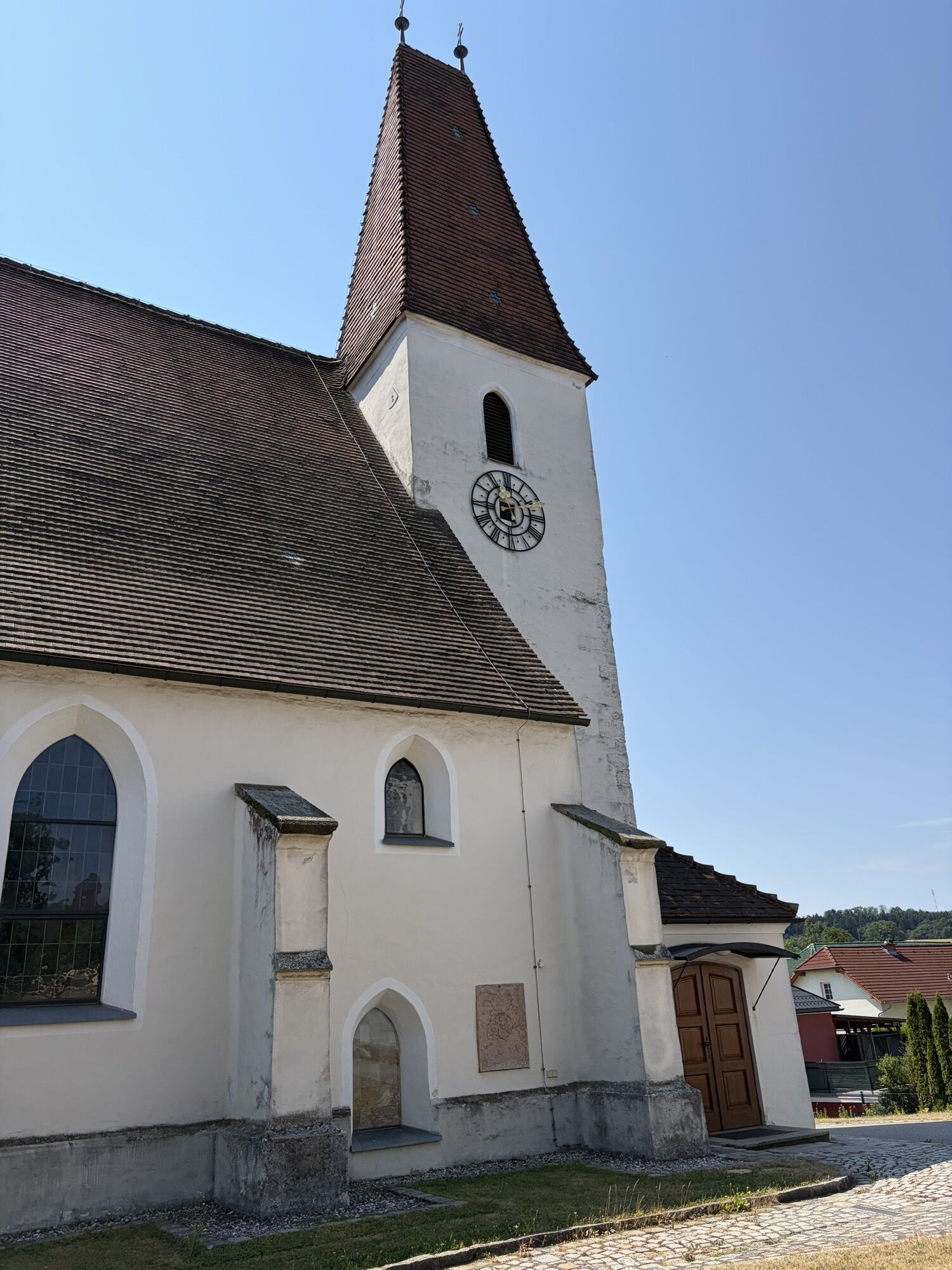
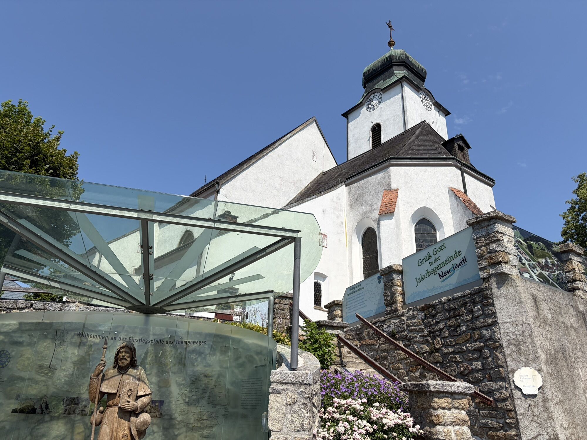

At an altitude of 507 meters, the municipality of Neustadtl is the starting point and also the highest point of this second stage of the Way of St. James. From here it is downhill for a while, but later...
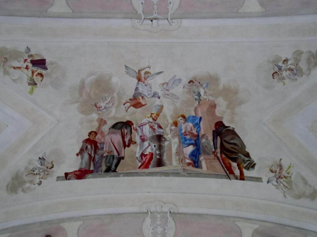
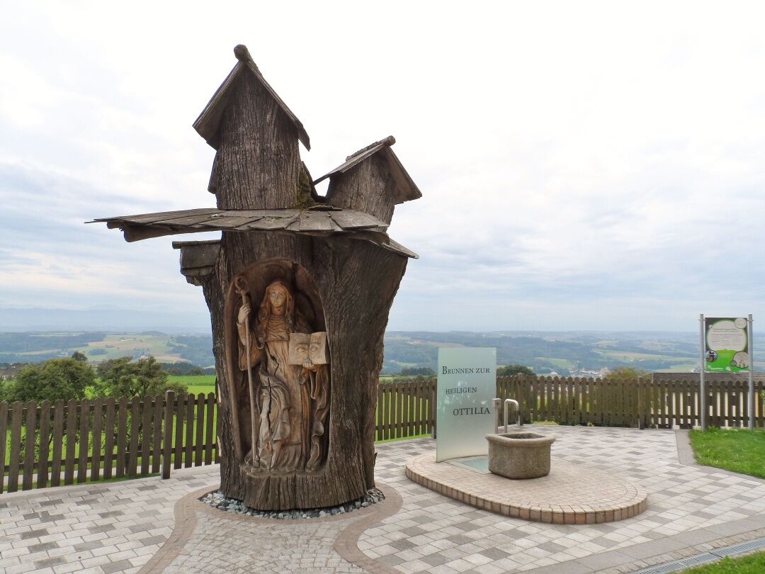
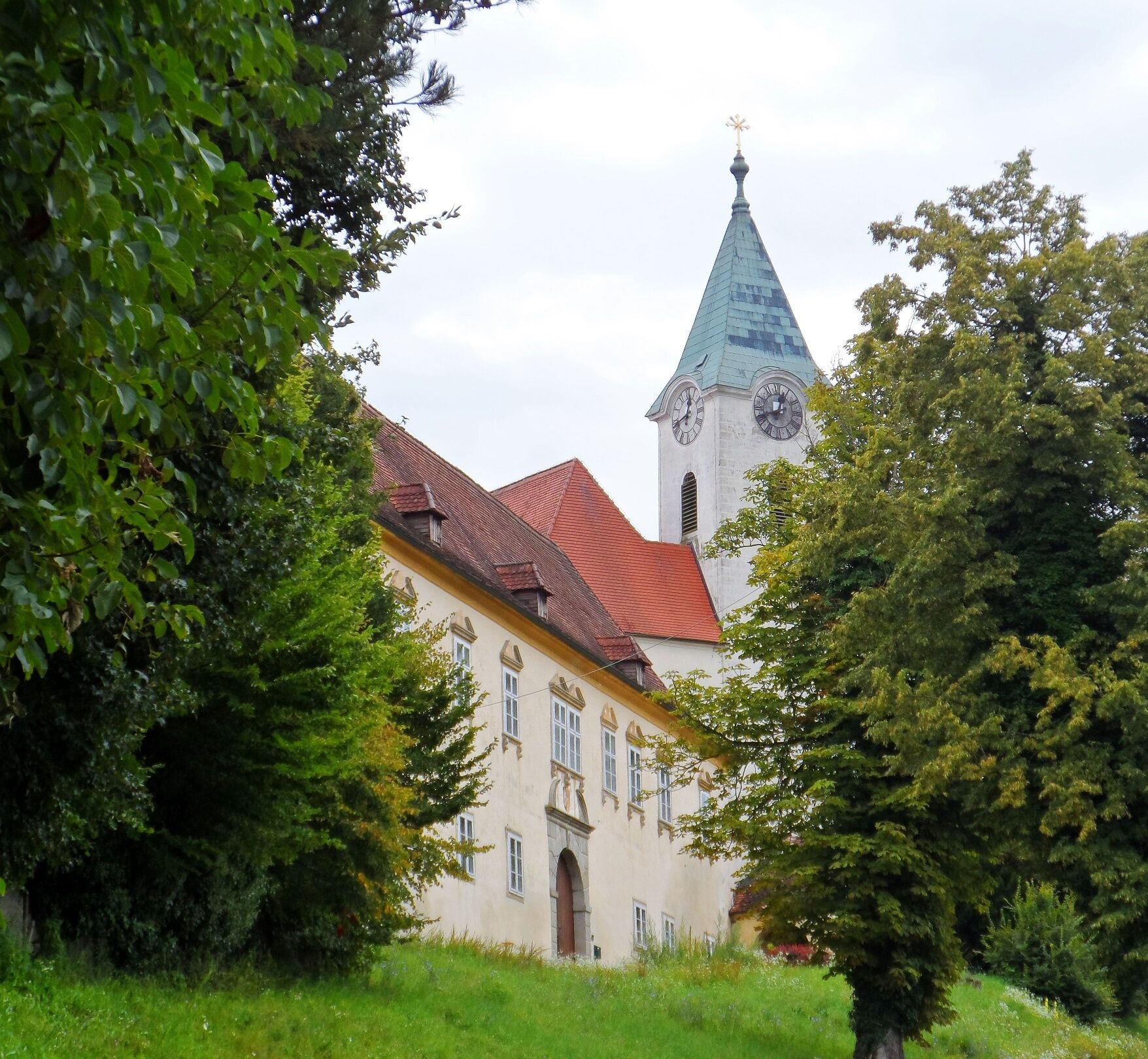
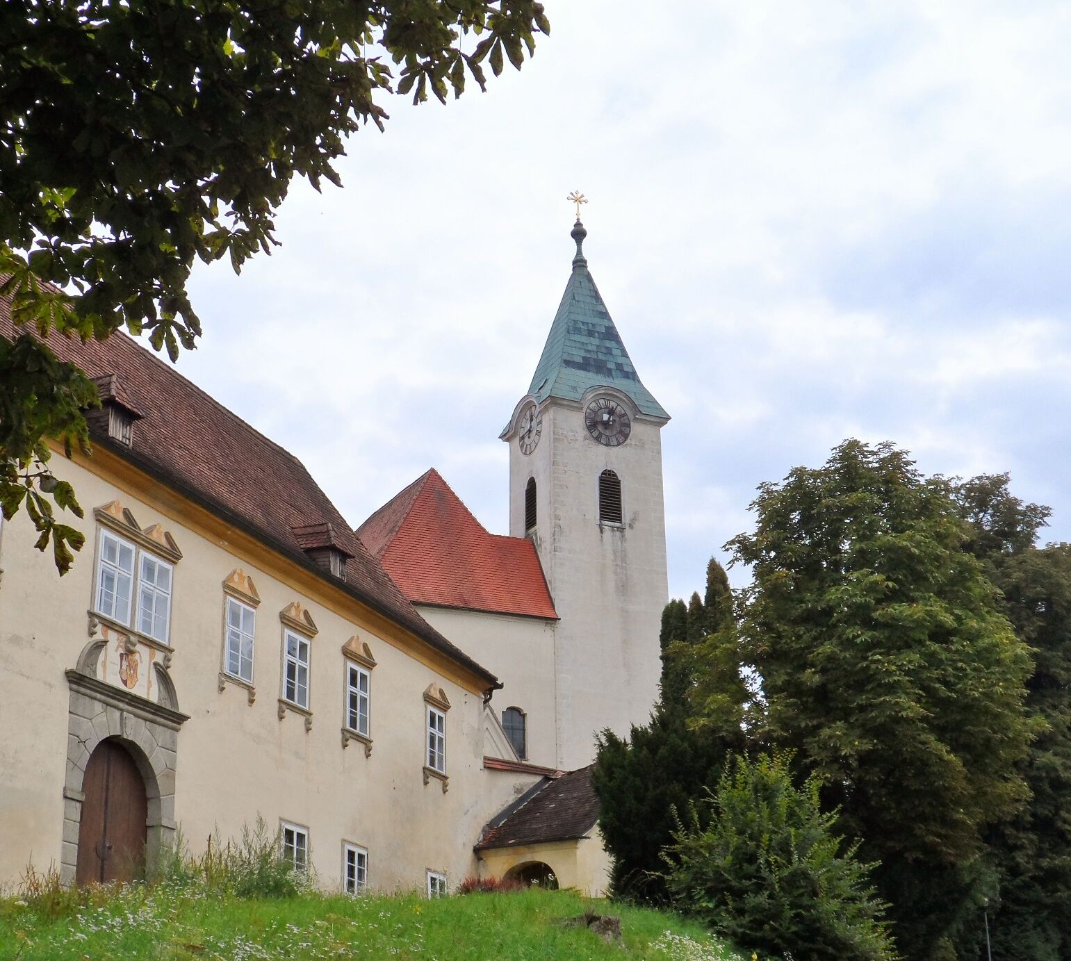
At an altitude of 507 meters, the municipality of Neustadtl is the starting point and also the highest point of this second stage of the Way of St. James. From here it is downhill for a while, but later briefly uphill again to Kollmitzberg. Kollmitzberg is a popular pilgrimage destination with the famous Ottilienbrunnen fountain and the pilgrimage church of St. Ottilie, which also boasts a particularly pretty view from the church. According to legend, "Odilia" was born blind at Hohenburg Castle (in the municipality of Obernai). Her father, Duke Eticho, wanted to have the girl killed because of this disability, but her mother saved her. Ottilie's baptism at the age of twelve gave her sight and for this reason she is venerated as the patron saint of the blind and the blind.
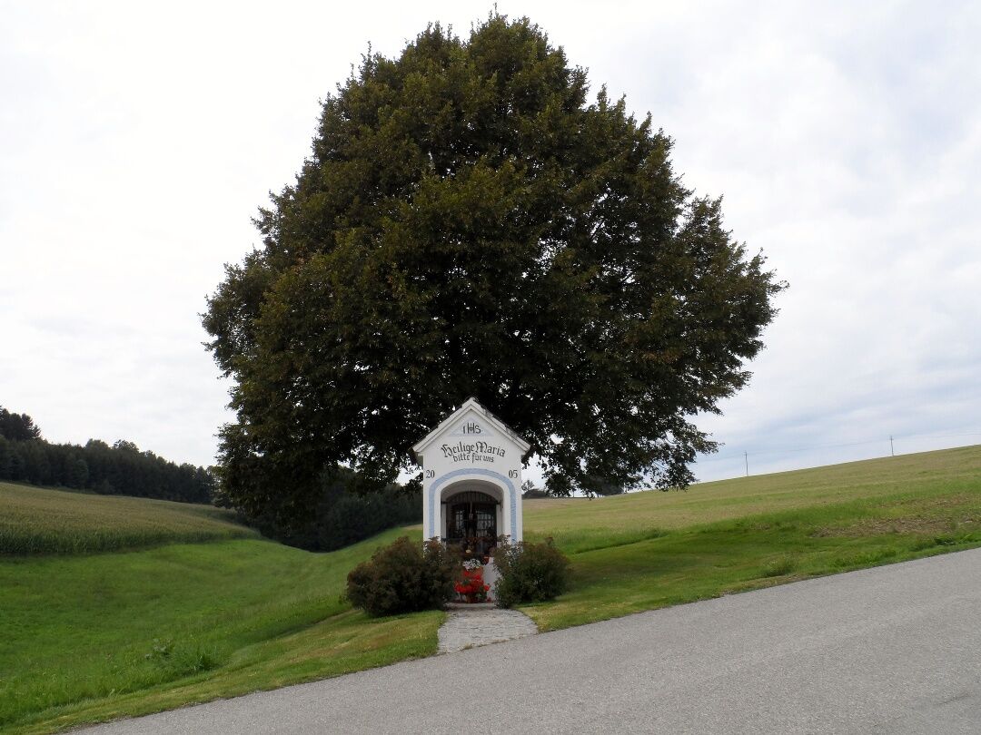
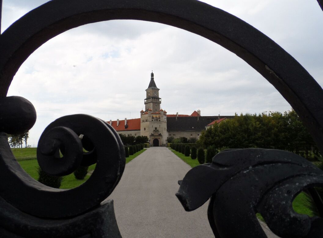
The route continues to Ardagger Abbey, a former collegiate monastery in the municipality of the same name. The next section of the stage runs mostly through agricultural regions. We hike along narrow roads through cornfields and past square farms until we can make out our next stopover, the market town of Zeillern, in a hollow. In Zeillern, special mention should be made of the lovingly laid out "Inspiration Trail", which leads pilgrims past six stations with glass sculptures and deals with themes such as hope, departure and security. Near Schweinberg, we pass a small yellow chapel in front of which two benches have been placed - perhaps wisely with a view to future pilgrims on the Way of St. James - inviting us to take a break. The next town we come to is also the end point of our stage, Wallsee-Sindelburg. The market town with a good 2200 inhabitants is a suitable stage destination, as there is a lot to see here. For example, the stately Wallsee Castle, the small branch church of St. Anna and the Wallsee Roman World.

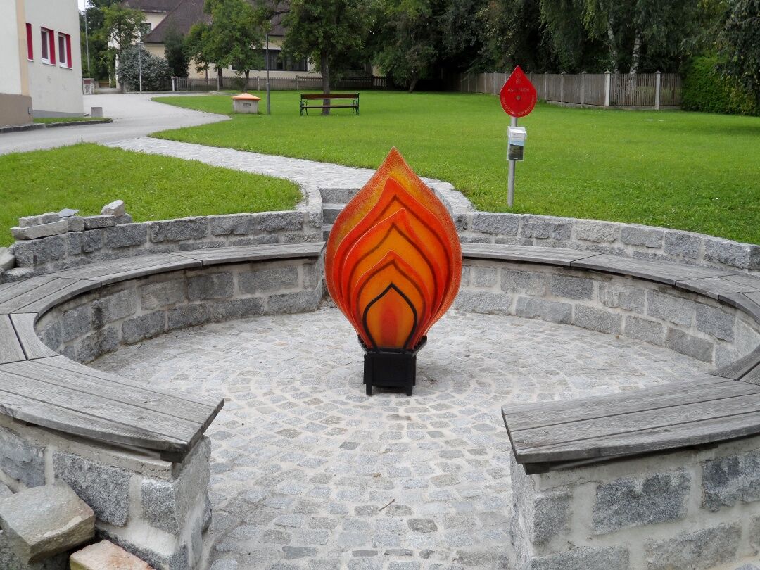
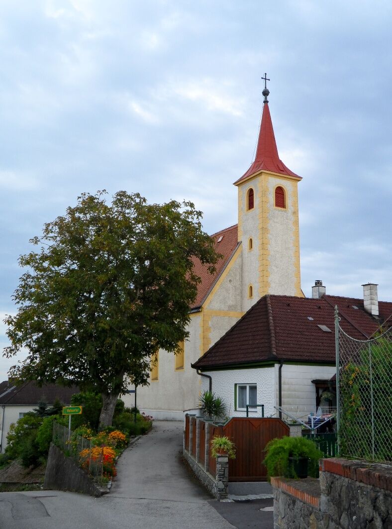
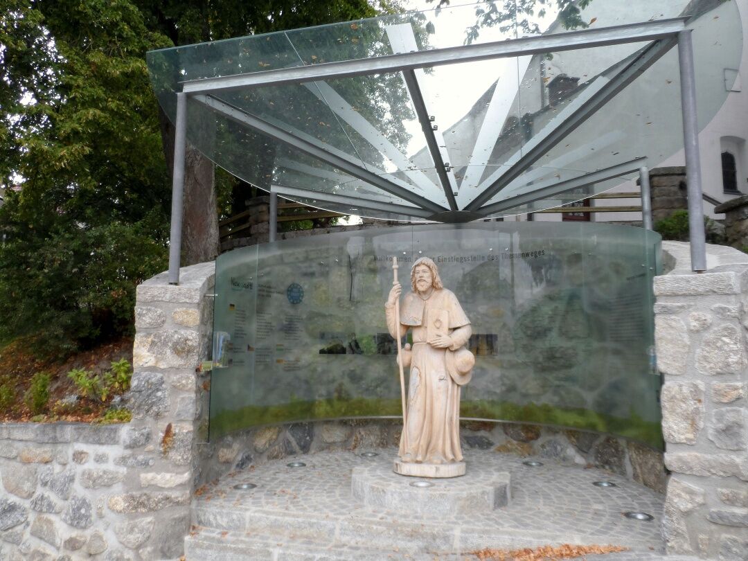
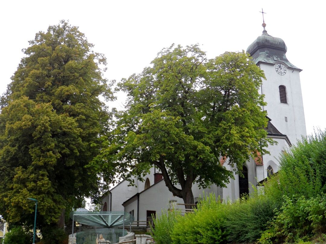
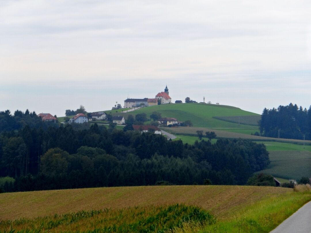

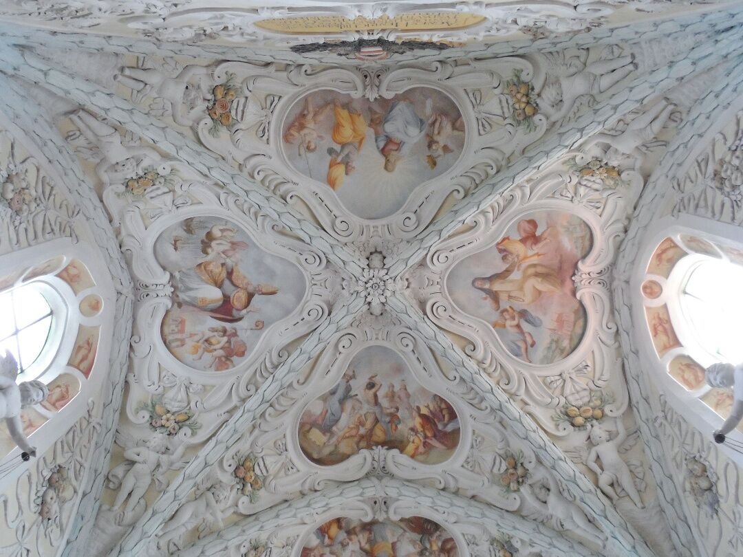
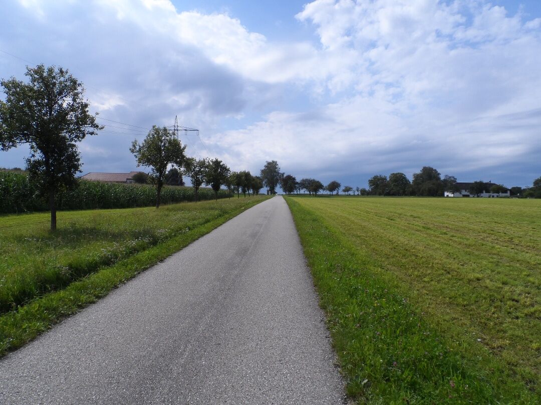
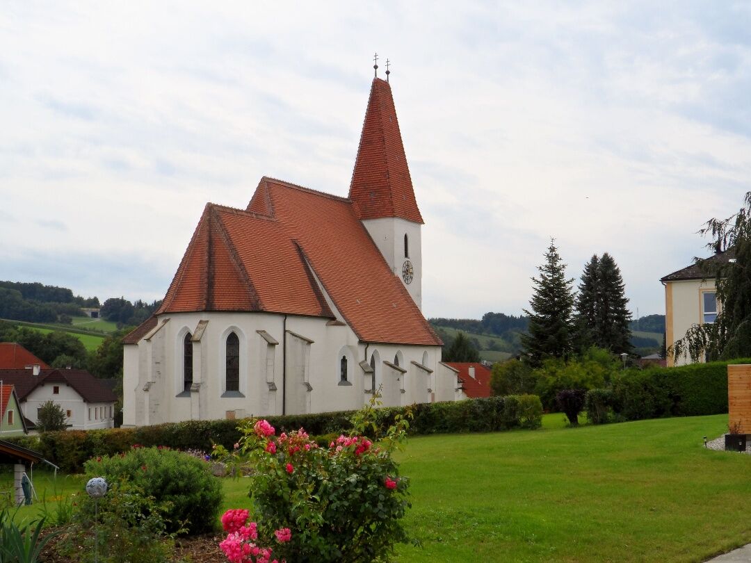

From Neustadtl, we follow the long-distance trail 08 southwest to the hamlet Niederhöhberg. There, we turn west towards Öd onto the red-white marked hiking trail 453, which leads us to the pilgrimage church of St. Ottilie in Kollmitzberg and further downhill via Kirchfeld to Ardagger Abbey. We continue over Pfaffenberg, Brachegg, Limberg, and Friedlmühle to the Moststraße municipality of Zeillern. We leave Zeillern along the Most Nature Trail and the Path of Inspiration heading towards Oberzeillern, shortly before the village turning north towards Gebetsberg, and follow the road towards Wallsee to Oberdona. Shortly after the hamlet, we turn left onto hiking trail 454, on which we go via Destelberg to Pyhra. In Schweinberg, we continue west over Steinbichl and Hofing and arrive at the Sindelburg parish church and shortly thereafter in the center of Wallsee. Alternatively, we can also continue straight from Schweinberg to Sommerau, where we meet the Danube cycle path and follow it to Wallsee.
Coming from Salzburg, we take the Amstetten-West exit (123) and drive on the B119 via Ardagger Abbey, Kollmitzberg, and Schaltberg to Neustadtl on the Danube.
Coming from Vienna, we take the Amstetten-East exit (108), then follow the B1 to Balldorf/Hermannsdorf and then turn right into the L6039. We cross the West Autobahn and continue via Krahof and Hainstetten to Neustadtl on the Danube.
Arrival in Neustadtl:
We take the train to Amstetten and from there the bus 1616 to Neustadtl/Donau.
There are many parking options around the church in Neustadtl.
Mostviertel Tourismus GmbH
Töpperschloss Neubruck, Neubruck 2/10, 3283 Scheibbs
T +43/7482/20 444
info@mostviertel.at , www.mostviertel.at
Upper Austria Tourism Information
Freistädter Straße 119, 4041 Linz
info@oberoesterreich.at
www.wandern.at
Useful maps:
ÖK 4322 Pöchlarn, ÖK 4327 Amstetten, ÖK 4328 Scheibbs,
ÖK 4203 Waidhofen, ÖK 4204 Lunz
All at a scale of 1:50,000 (also available enlarged at 1:25,000)
F&B Hiking Maps 052 Mostviertel (1:50,000),
Kompass Hiking Guide 1085 Way of St. James
Important phone numbers:
Alpine emergency call: 140, International emergency call: 112
Recommended literature:
Hiking Guide Way of St. James Austria, www.kompass.at
On the Way of St. James through Austria, www.tyrolia-verlag.at
Pilgrimage routes, www.kral-verlag.at
Pilgrimage routes to Mariazell – West + South volumes, www.styriabooks.at
The Roman Catholic parish office in Sindelburg offers pilgrims free accommodation.
Address: Sindelburg 1
3113 Wallsee (+43-7433) 2245
pfarramt.sindelburg@aon.at

Obľúbené výlety v okolí
-
4,2
Wolfsschlucht - auf den Spuren adeliger Kurgäste
Turistika 2,29 km -
4,8
Stillensteinklamm, Grein
svetloTuristika 10,4 km -
4,7
Stillensteinklamm Rundweg über Struden
svetloTuristika 12,6 km -
4,5
Gobelwarte-Runde, Grein
strednáTuristika 8 km -
4,8
Clamrunde durch die Schlucht
svetloTuristika 5 km -
4,4
Gobelwarte - Grein, Oberösterreich
strednáTuristika 5,41 km -
4,6
Brandstetterkogel über Matras Steig
svetloTuristika 6,28 km -
4,1
Wallsee Altarmrunde
svetloTuristika 8,19 km -
4,1
Bad Kreuzen: Kreuzner Donaublickrunde
strednáTuristika 16,8 km -
4,5
Bad Kreuzen - Neuaigen - Frauenstein - Speck Alm
strednáTuristika 10,9 km
Turistika a stopovanie


Nenechajte si ujsť ponuky a inšpiráciu na ďalšiu dovolenku
Vaša e-mailová adresa bol pridaný do poštového zoznamu.


