






Krems-Weinzierl am Walde-Weißenkirchen-Dürnstein-Krems
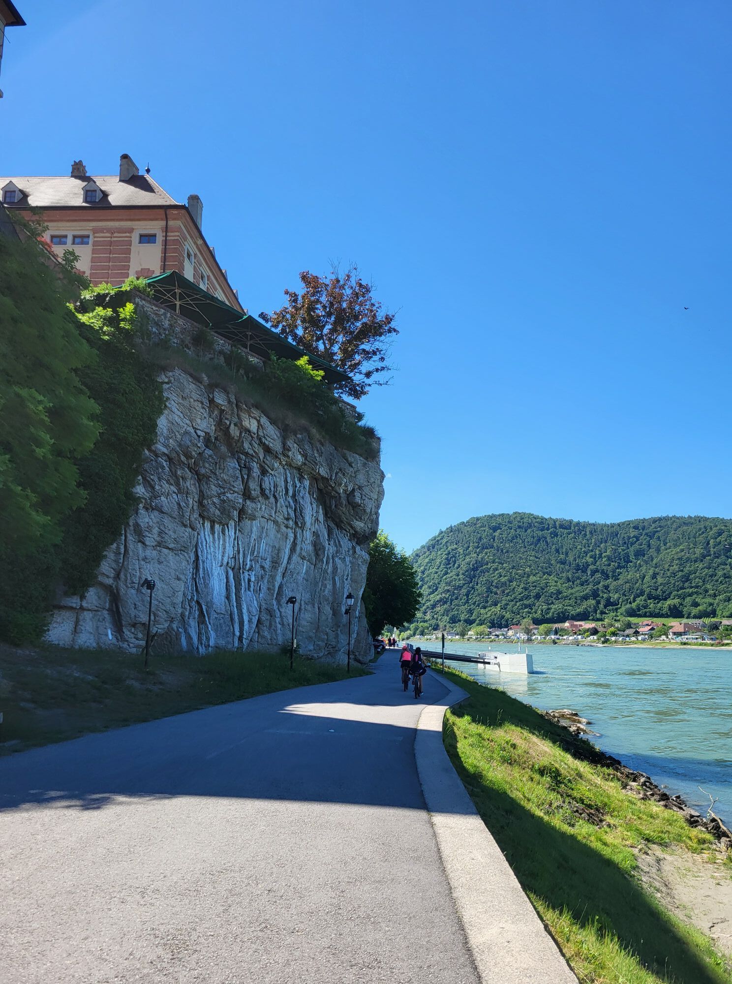
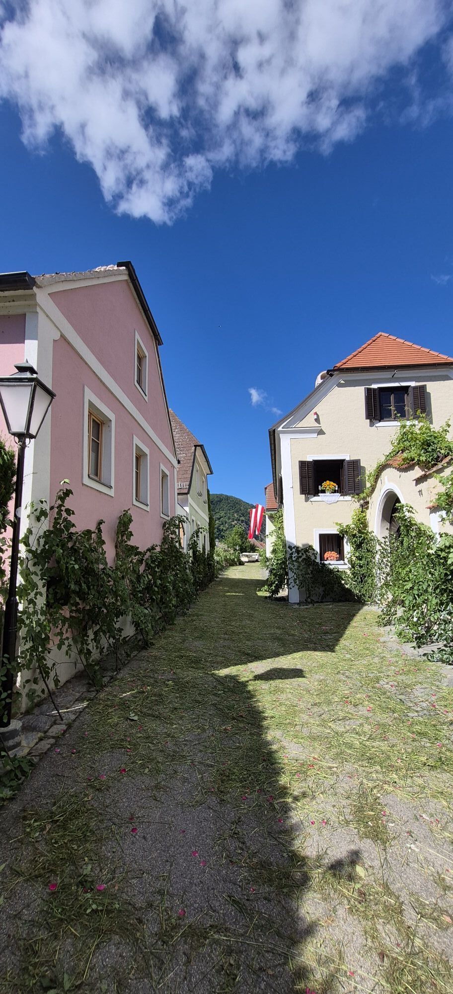
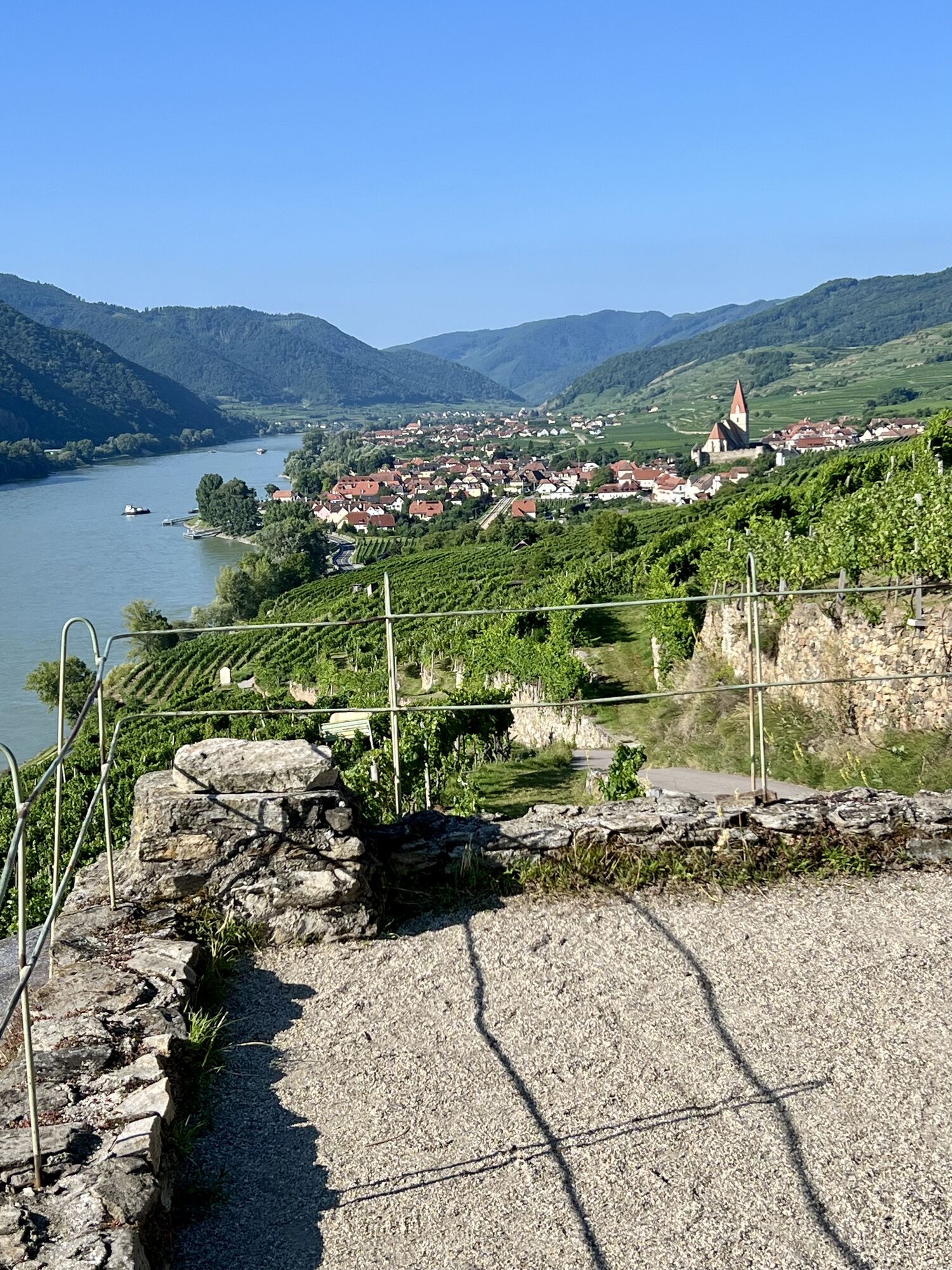
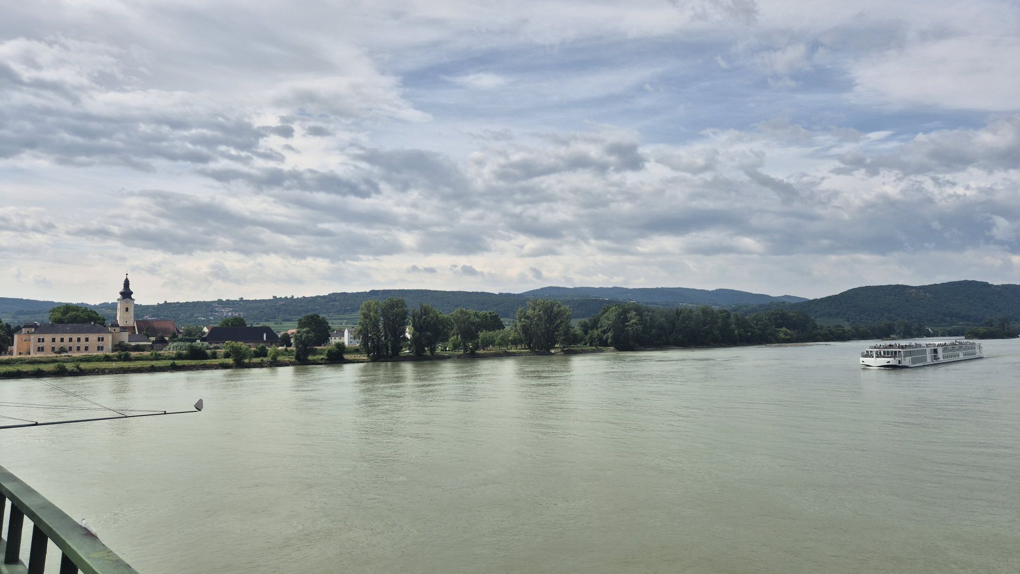
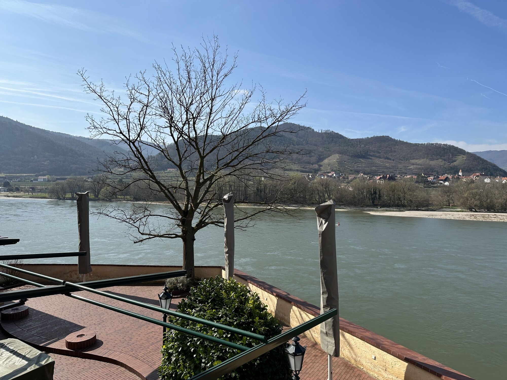
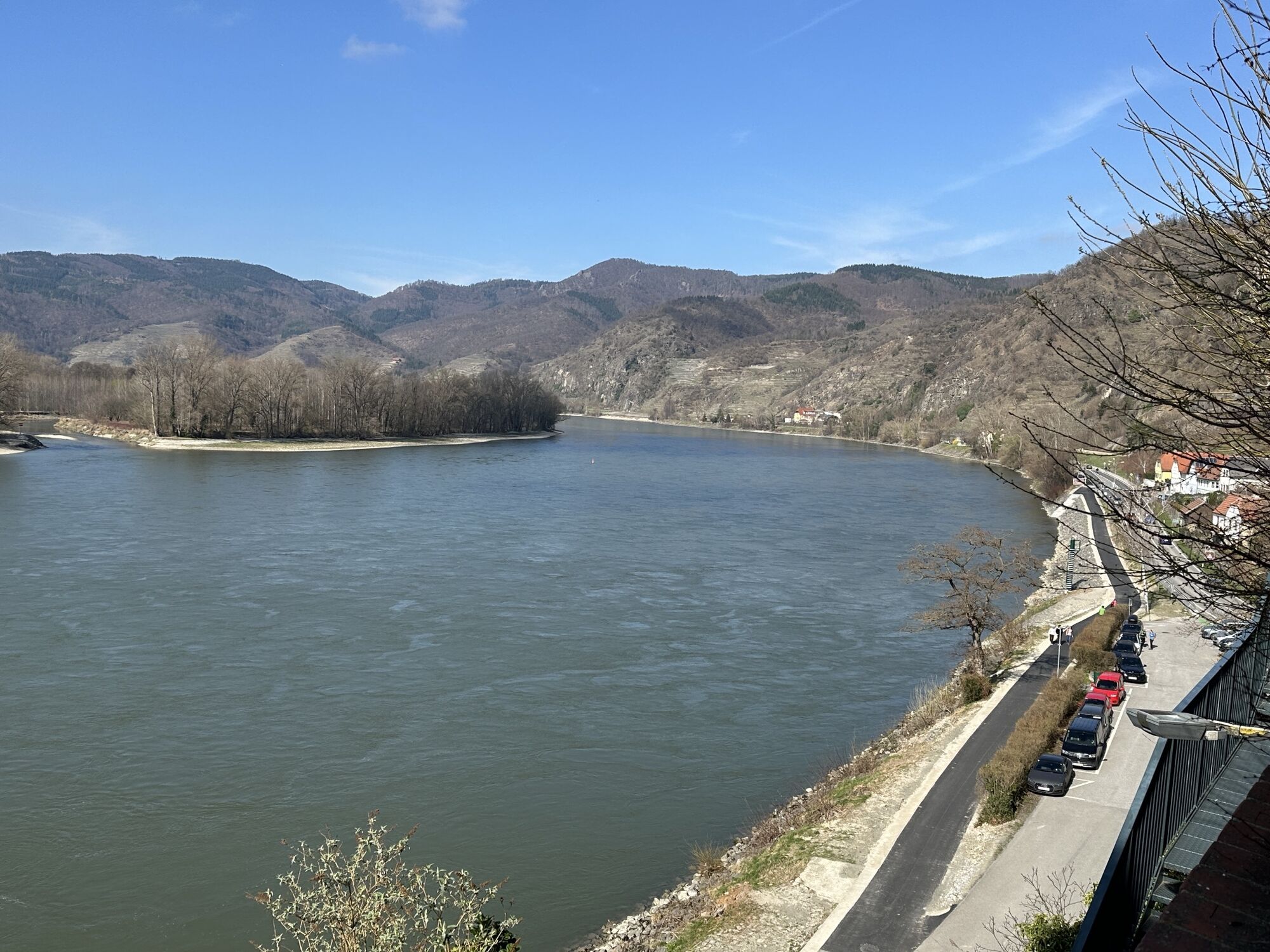
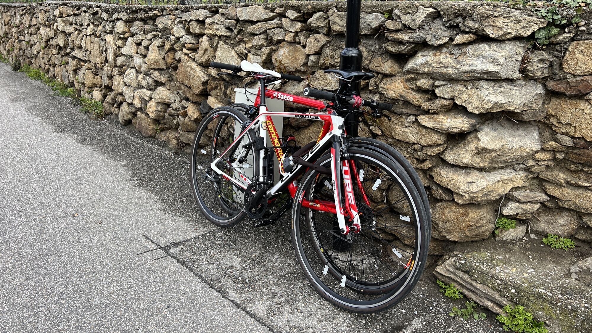
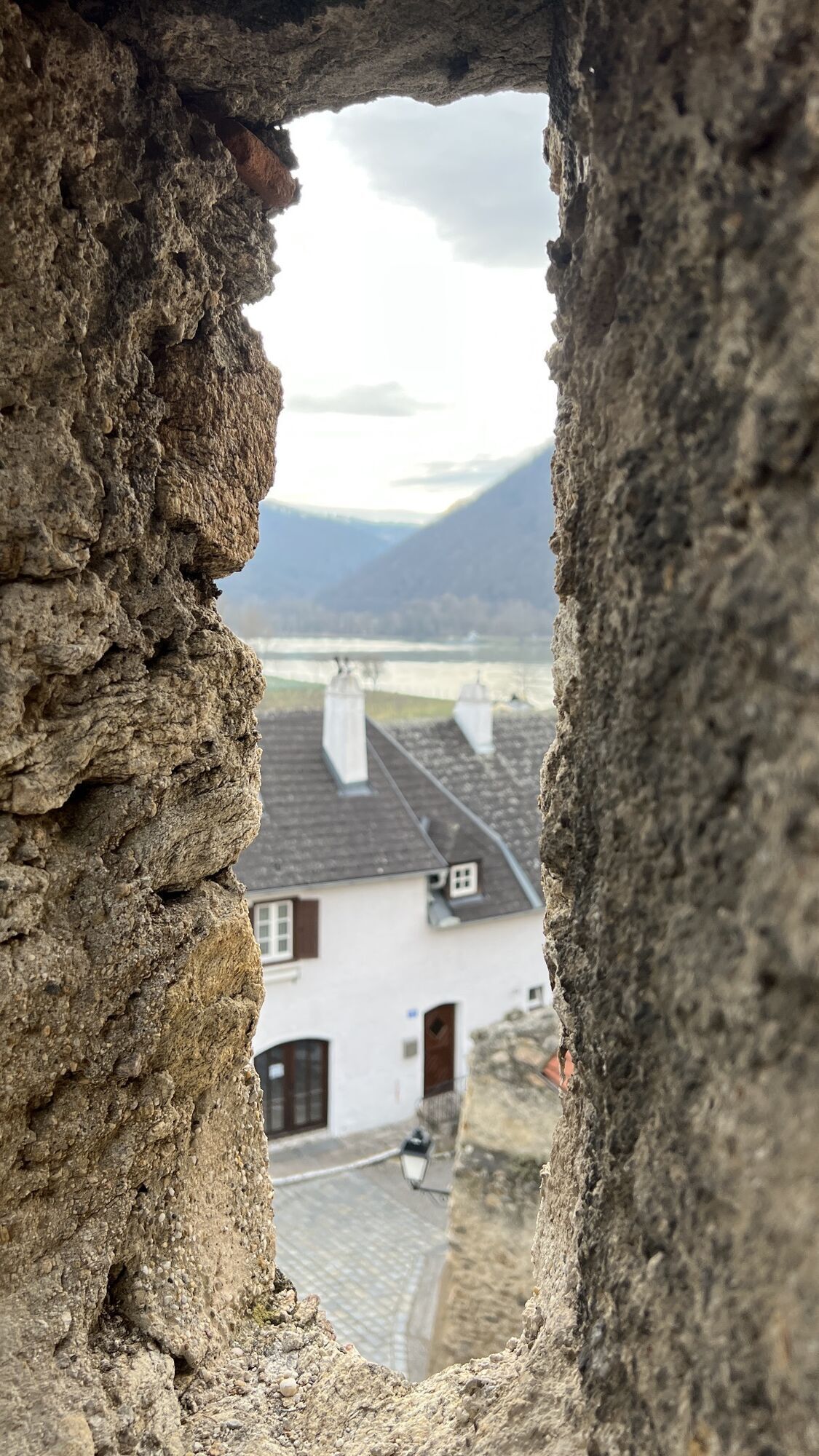

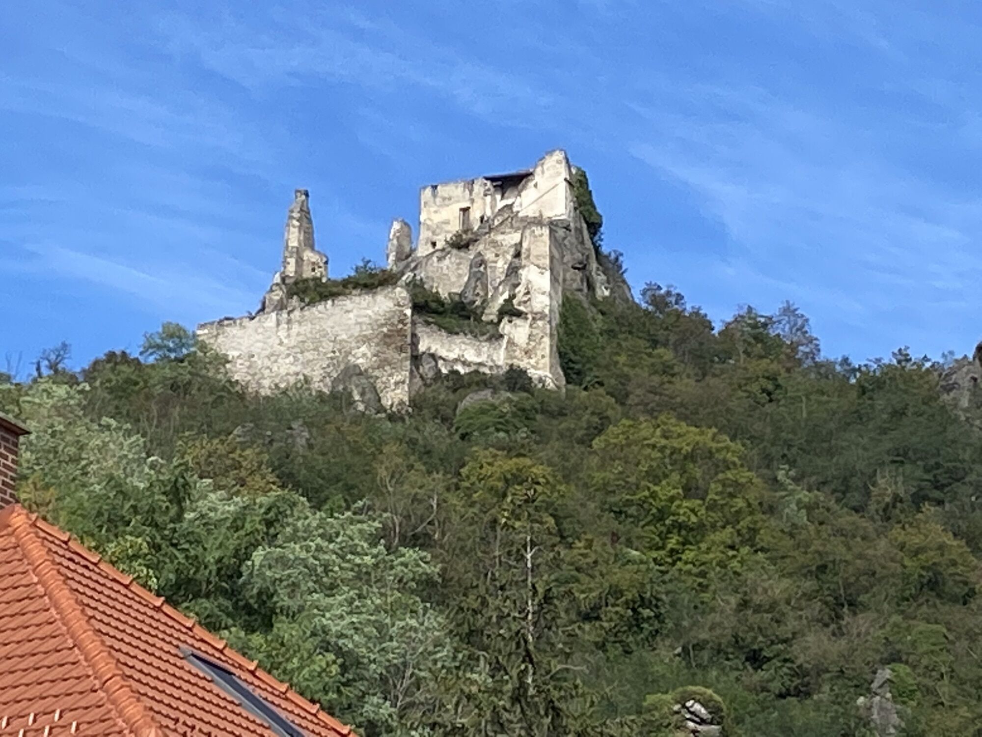
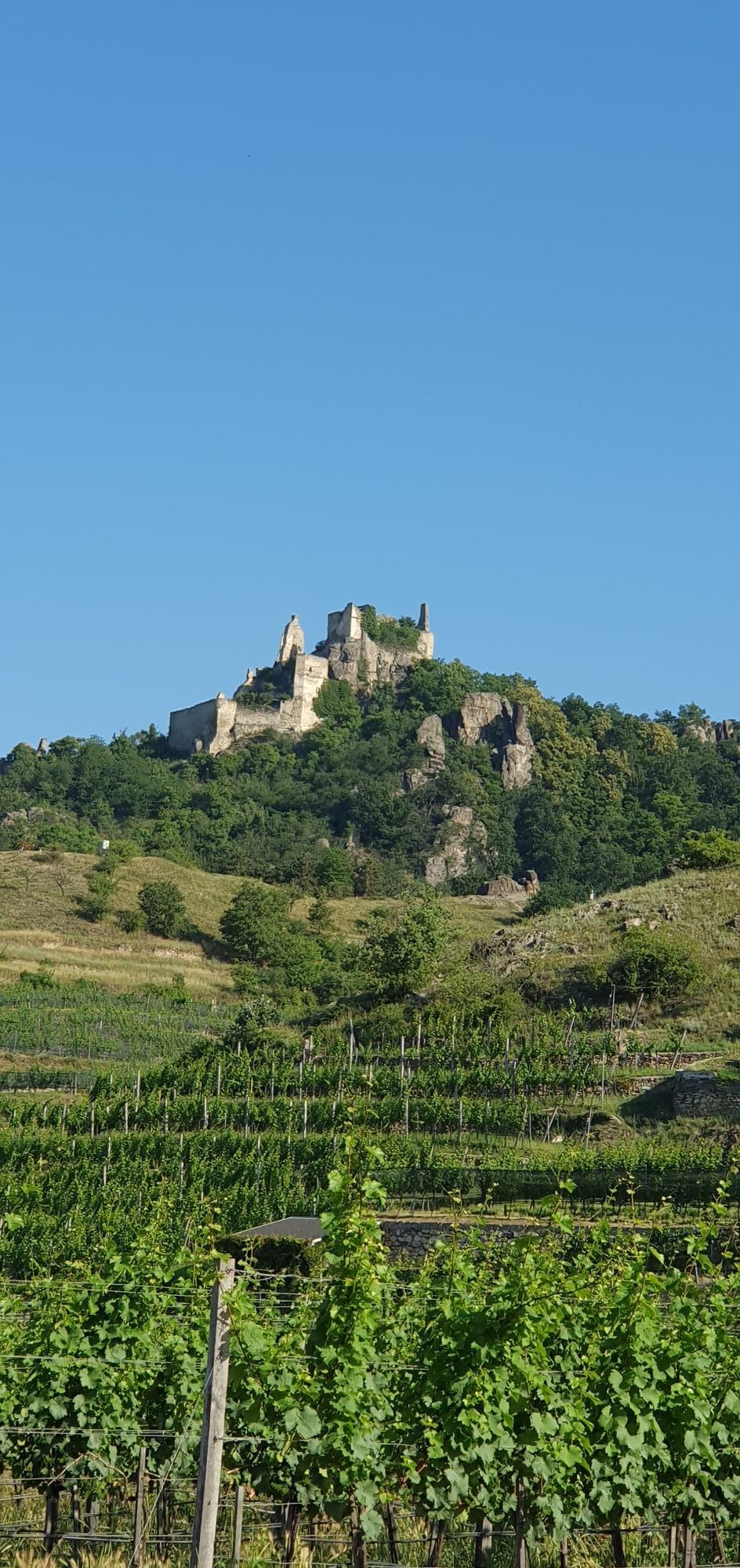
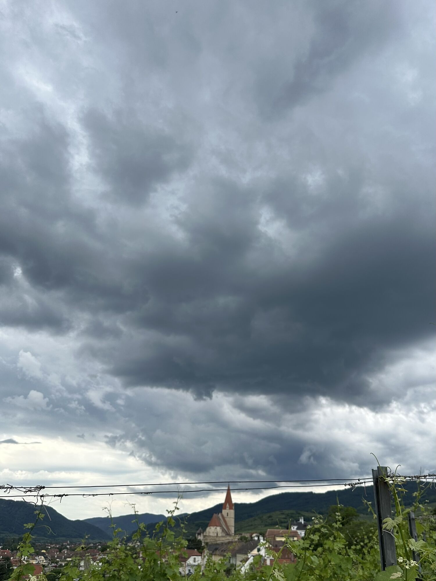
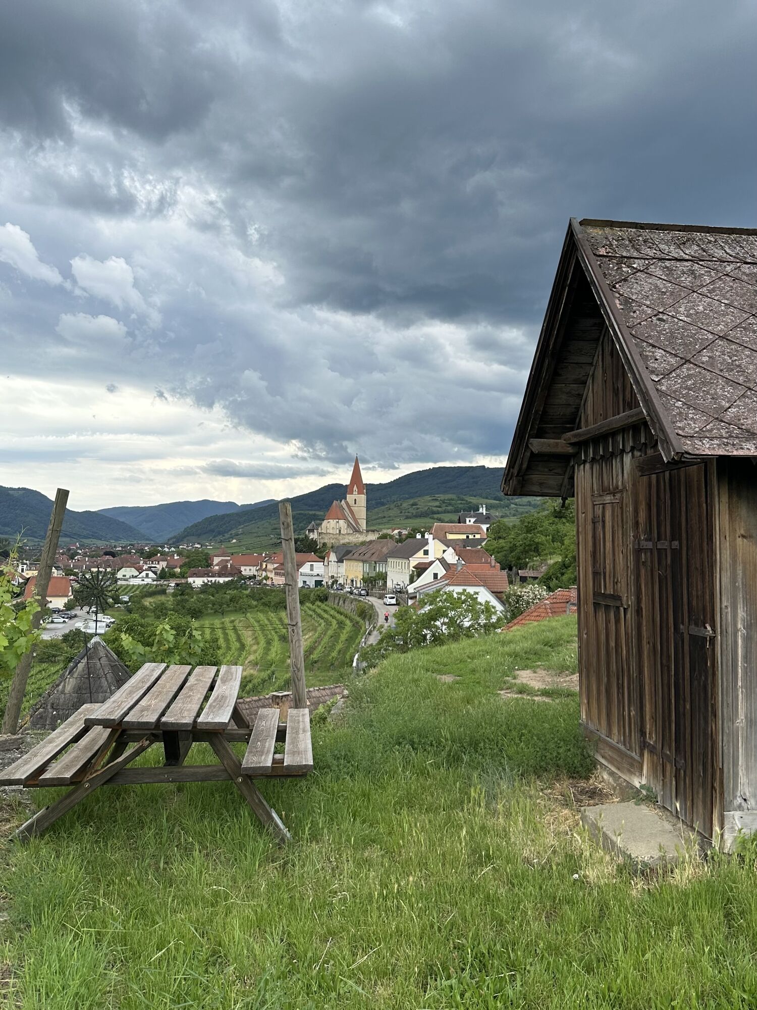
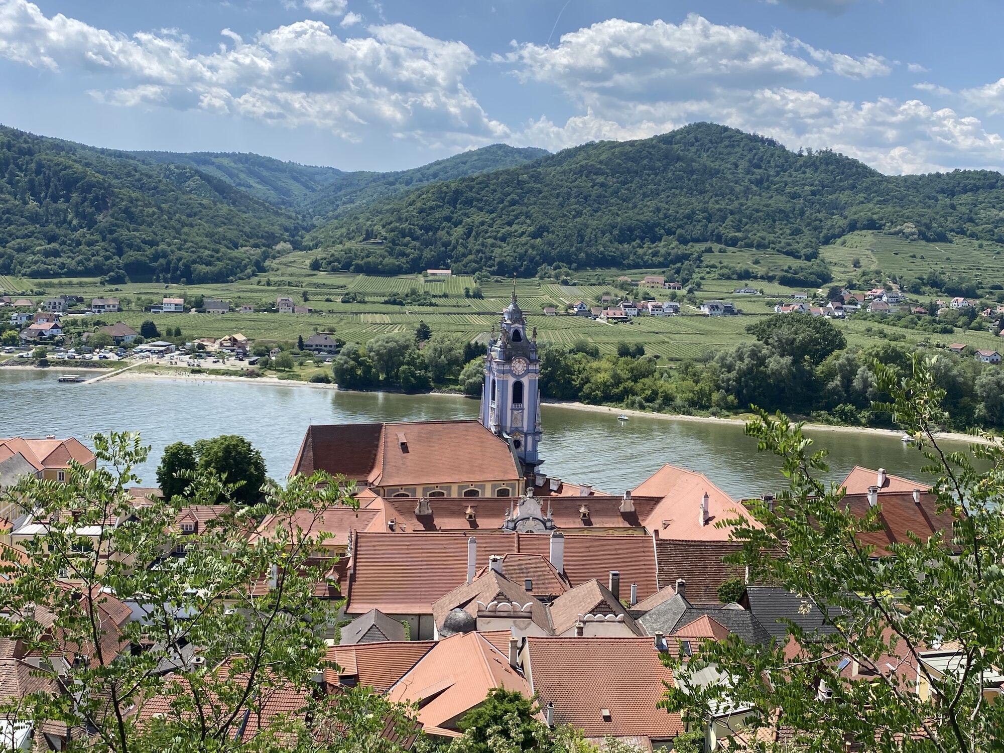
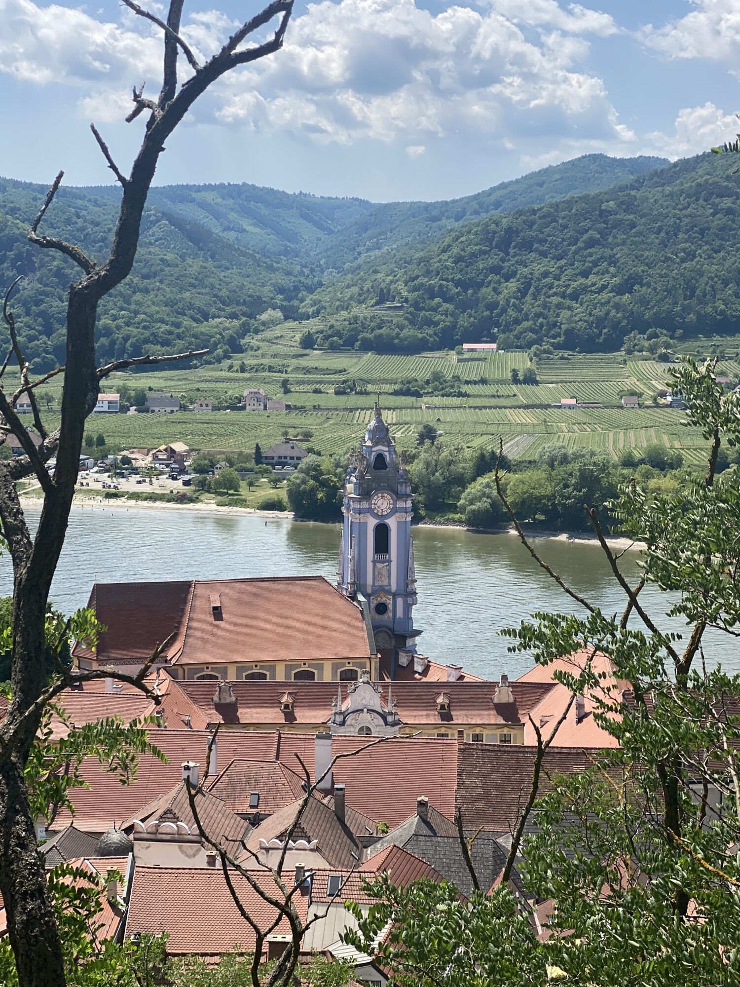
The varied bike route starts at the Danube promenade in Krems and leads through beautiful forest areas up to Stixendorf. Via Weinzierl am Walde and through the idyllic Grubach valley, we reach the dreamy...
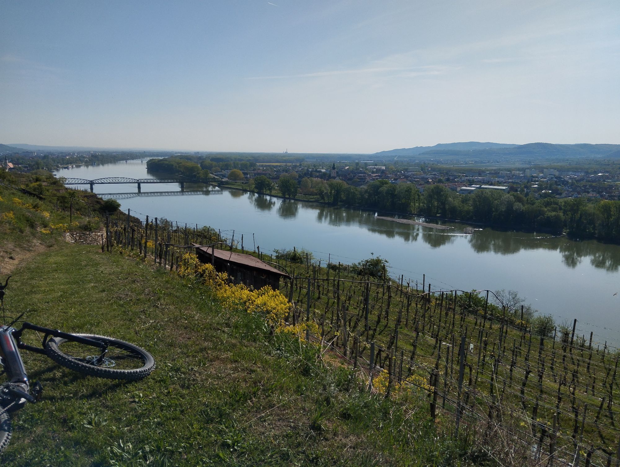
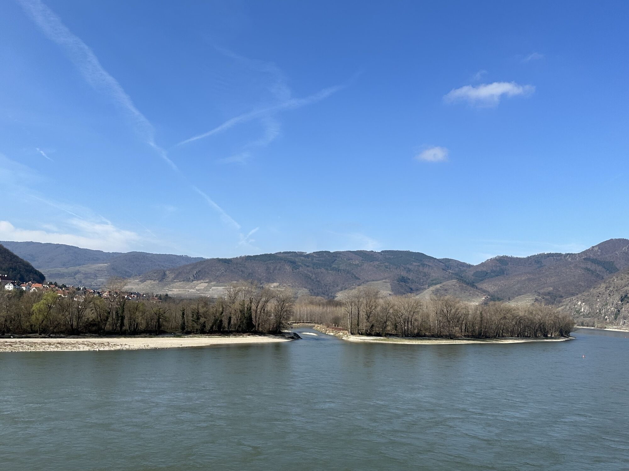
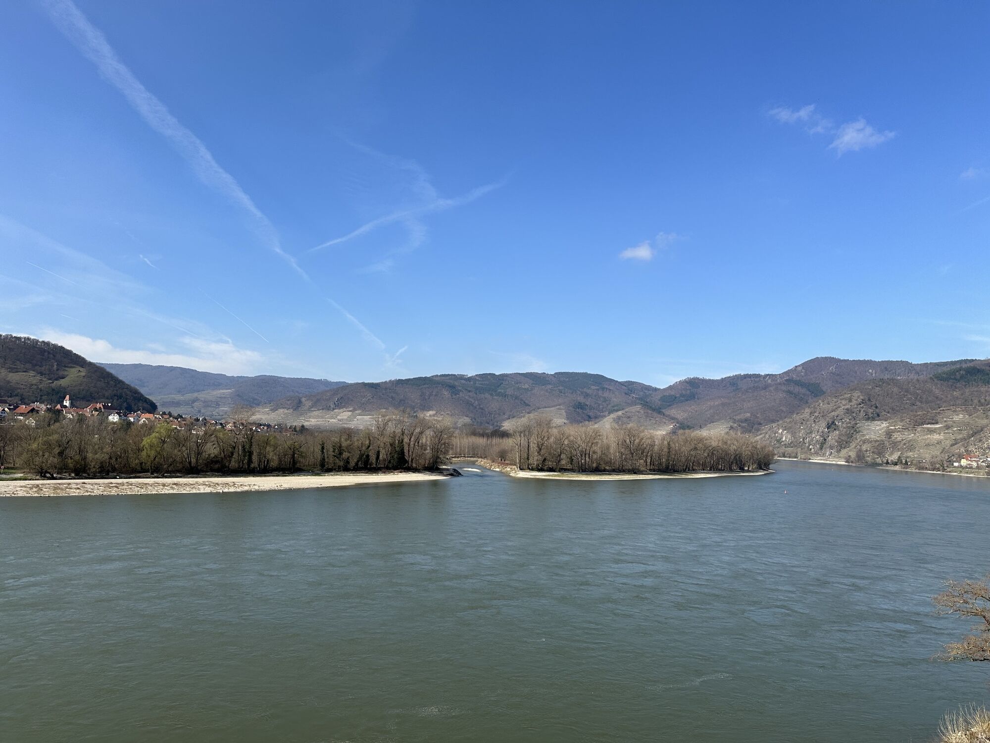
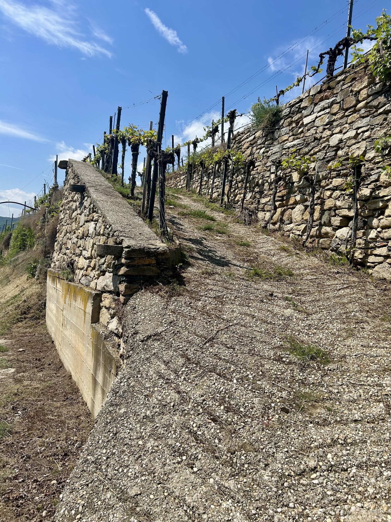
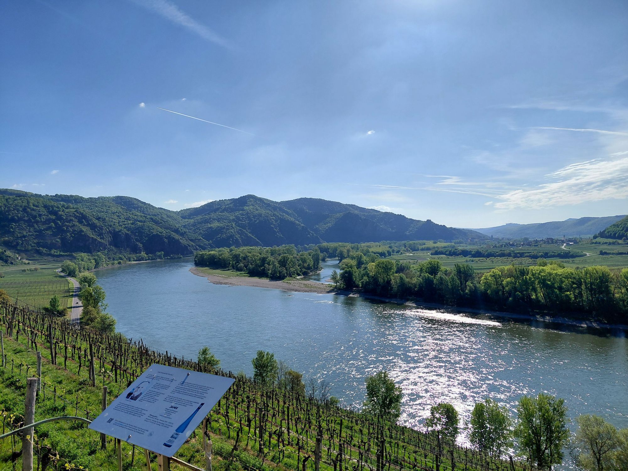
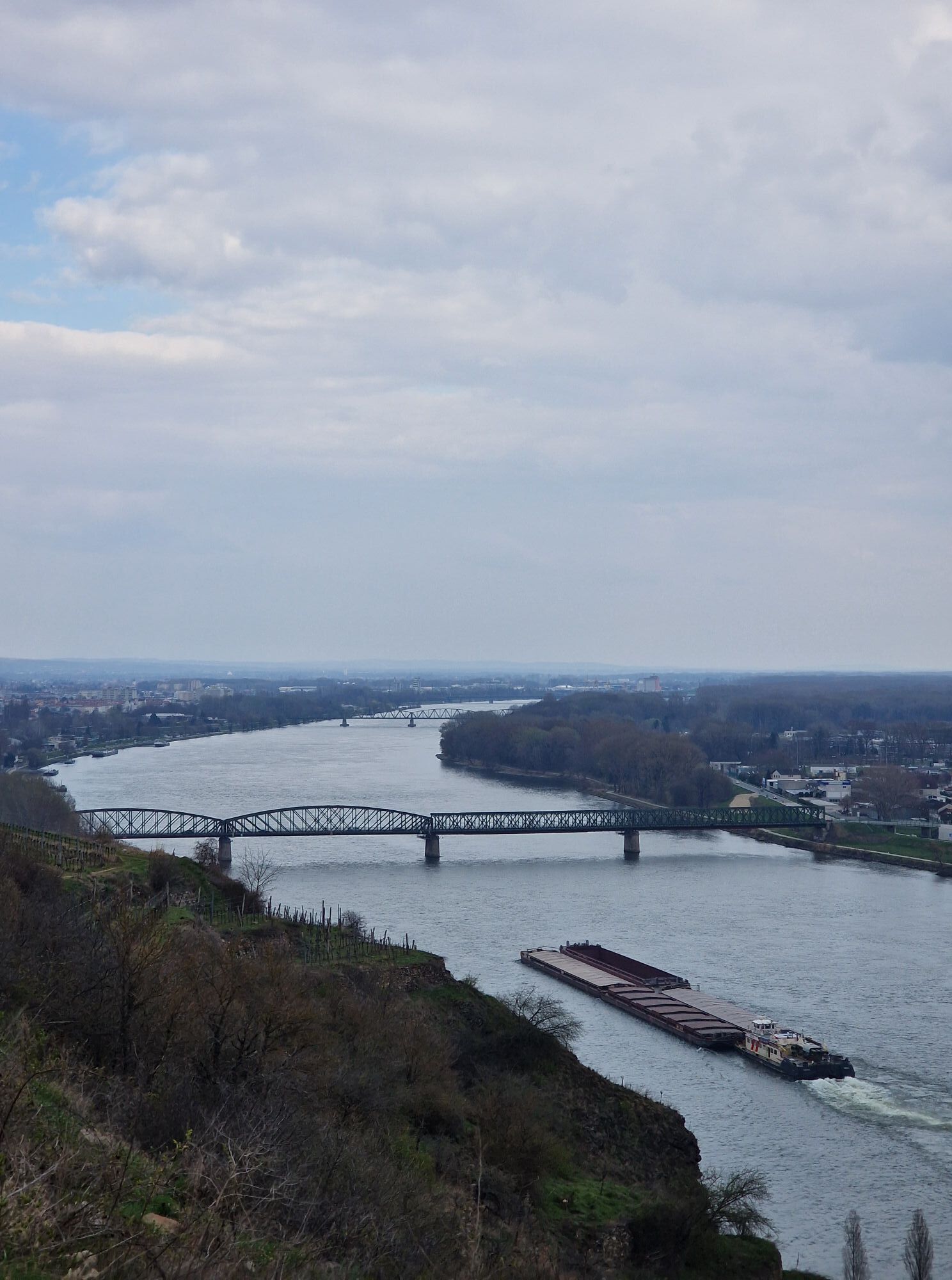
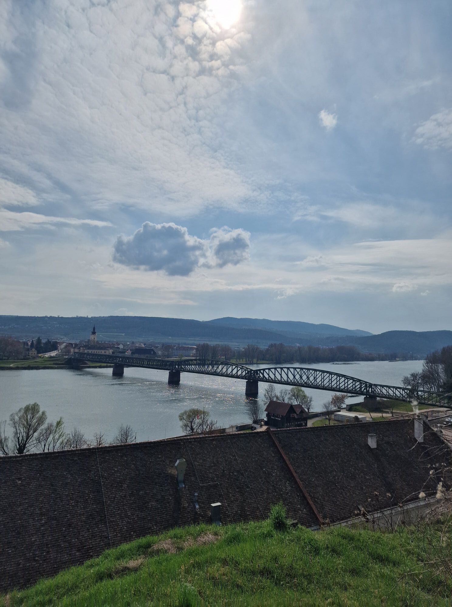
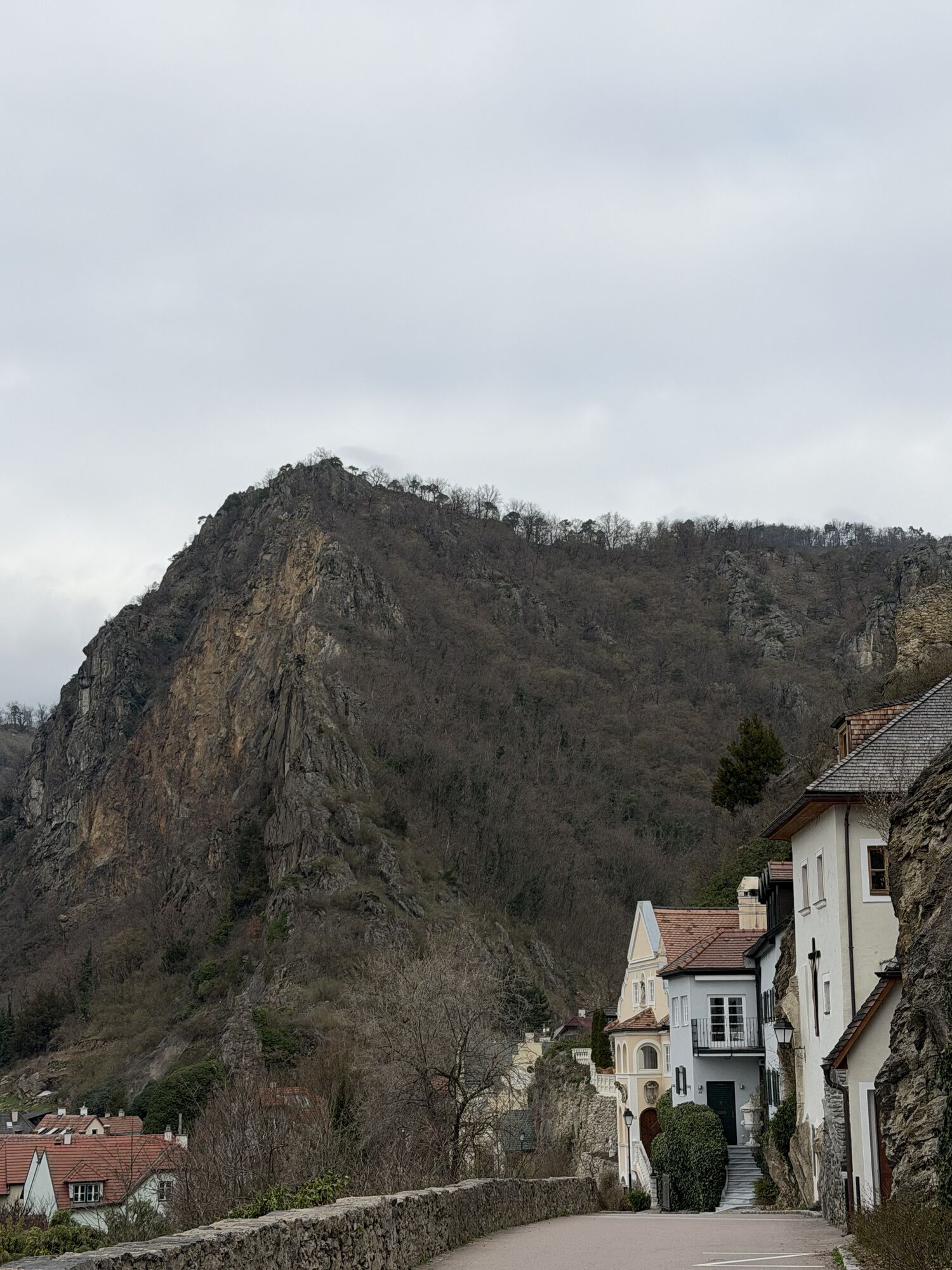
<p>The varied bike route starts at the Danube promenade in Krems and leads through beautiful forest areas up to Stixendorf. Via Weinzierl am Walde and through the idyllic Grubach valley, we reach the dreamy wine village of Weißenkirchen, where cozy alleys invite you to linger. Always along the Danube, we continue to the romantic town of Dürnstein with its famous castle ruin. Accompanied by wonderful views of the Danube and the surrounding vineyards, we return via Unterloiben to the picturesque Wachau metropolis of Krems.</p>

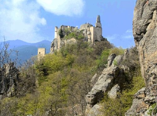
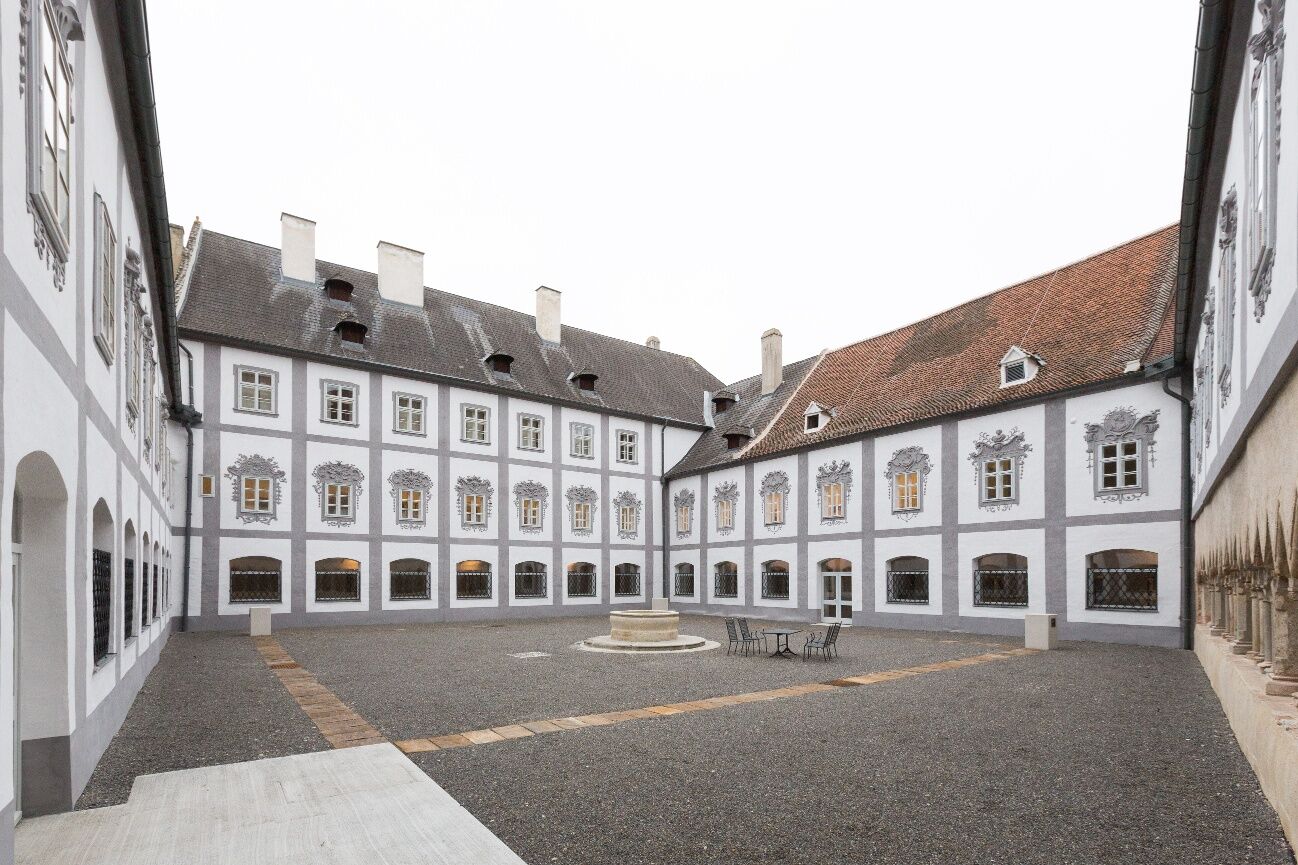
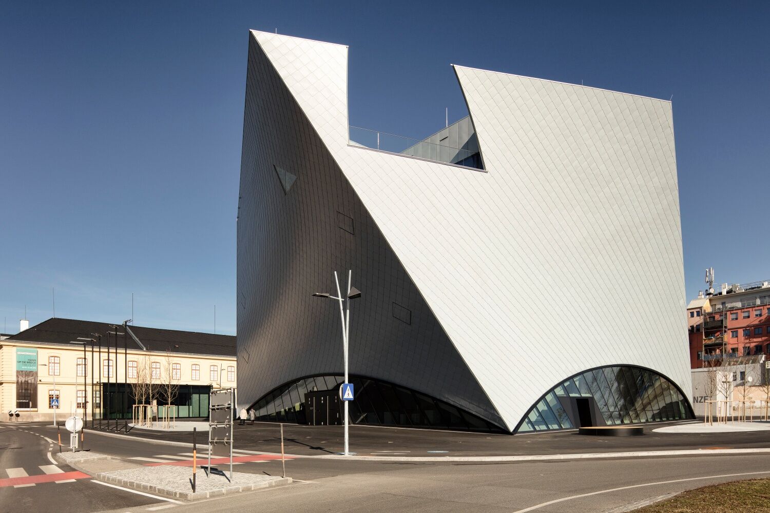
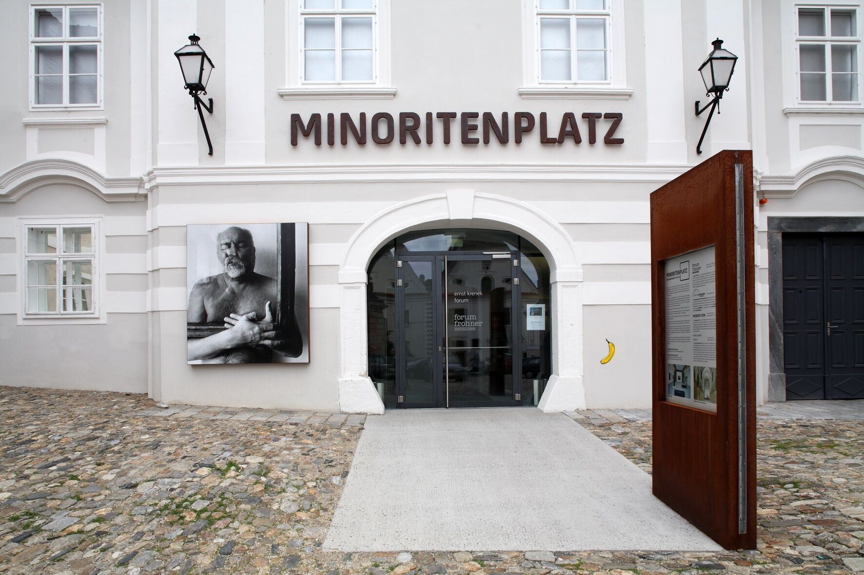
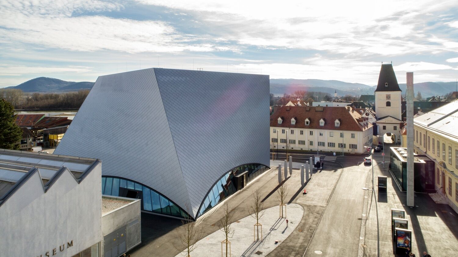

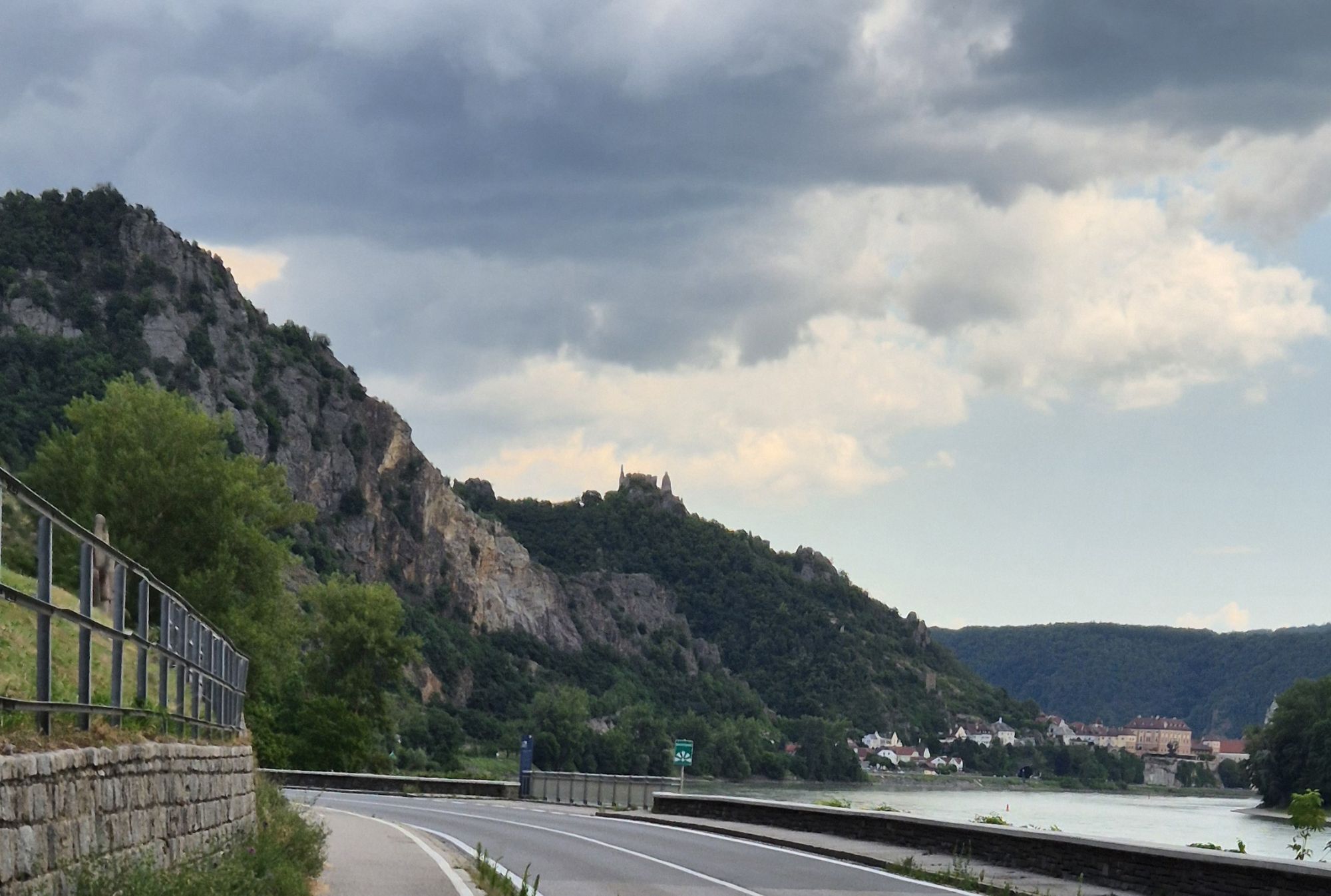
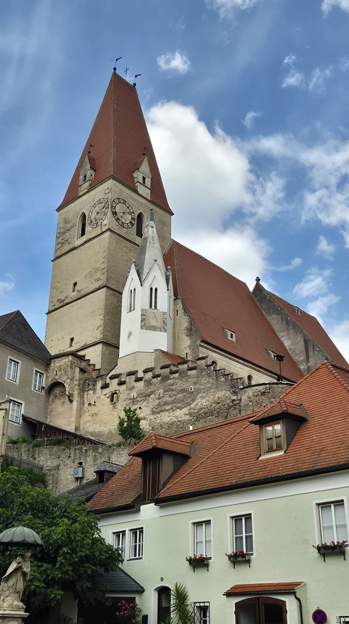
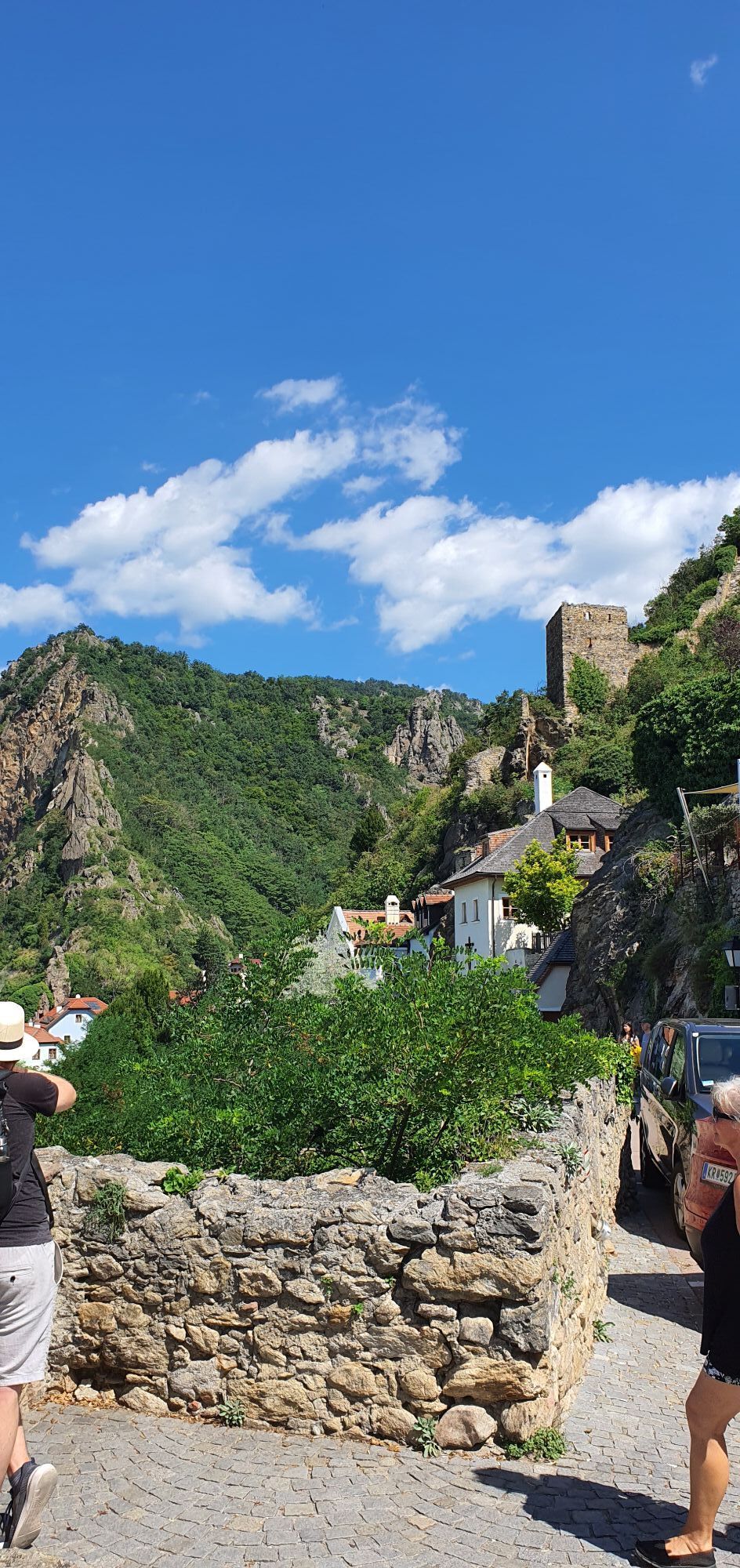
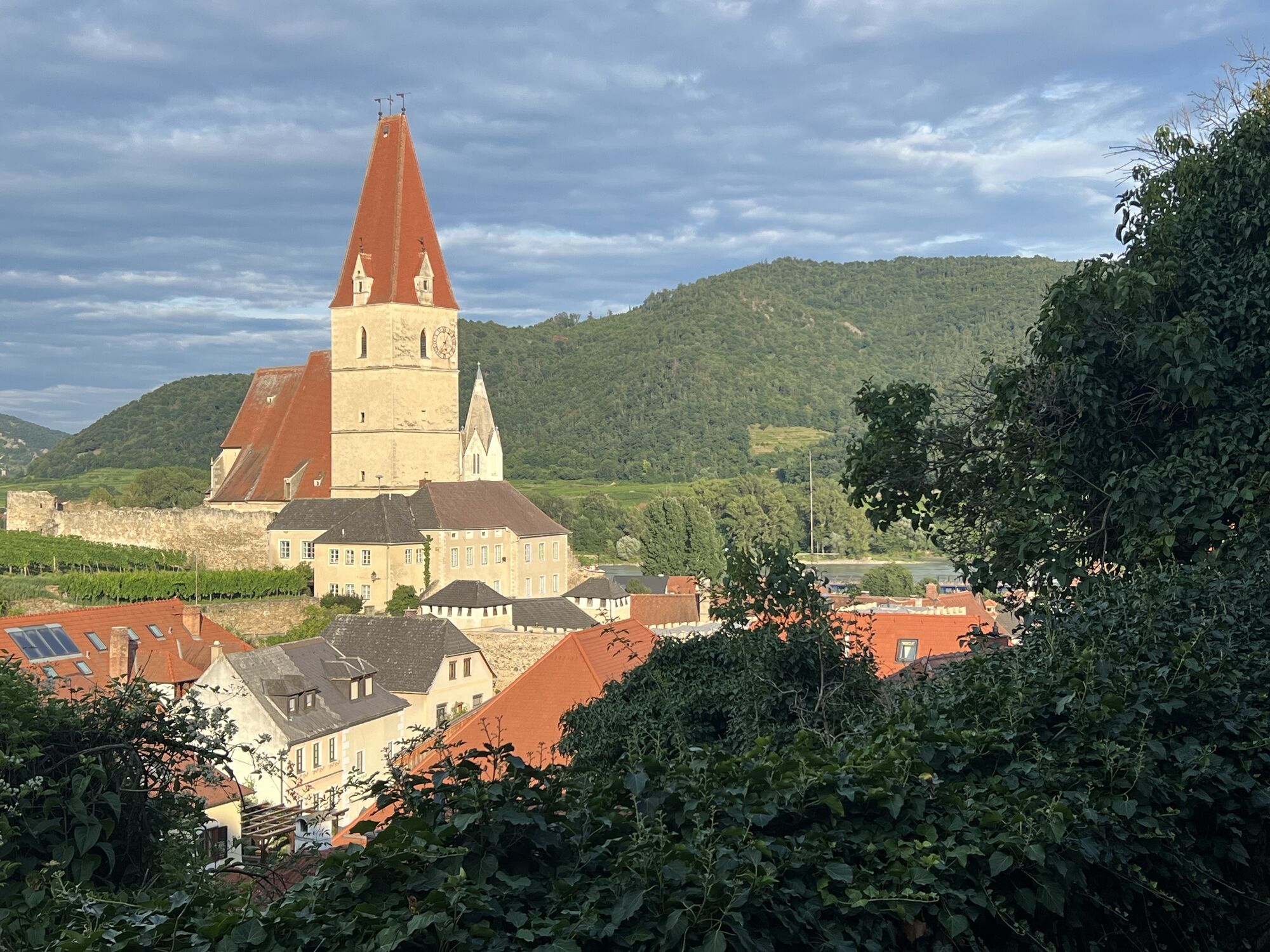
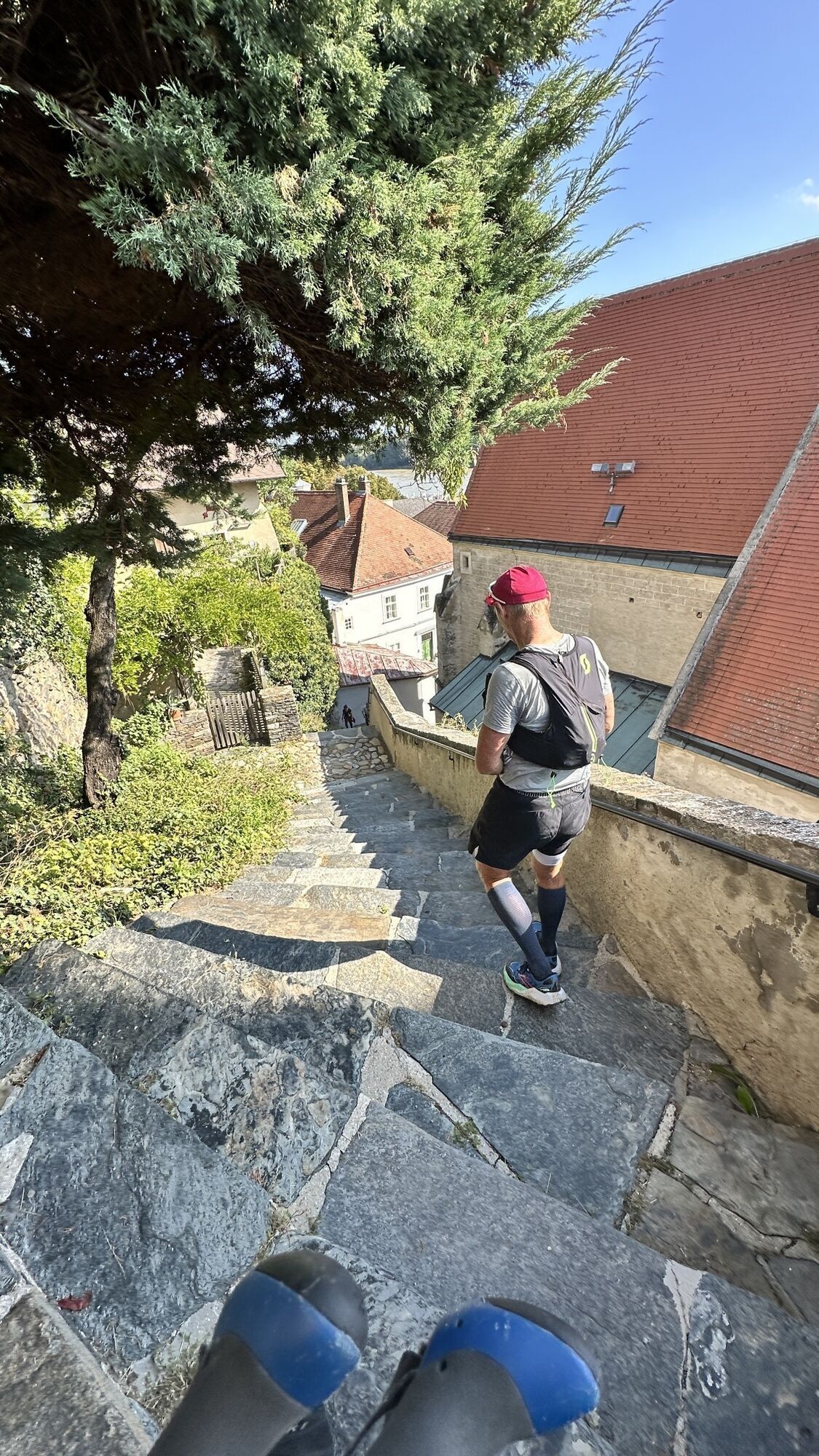
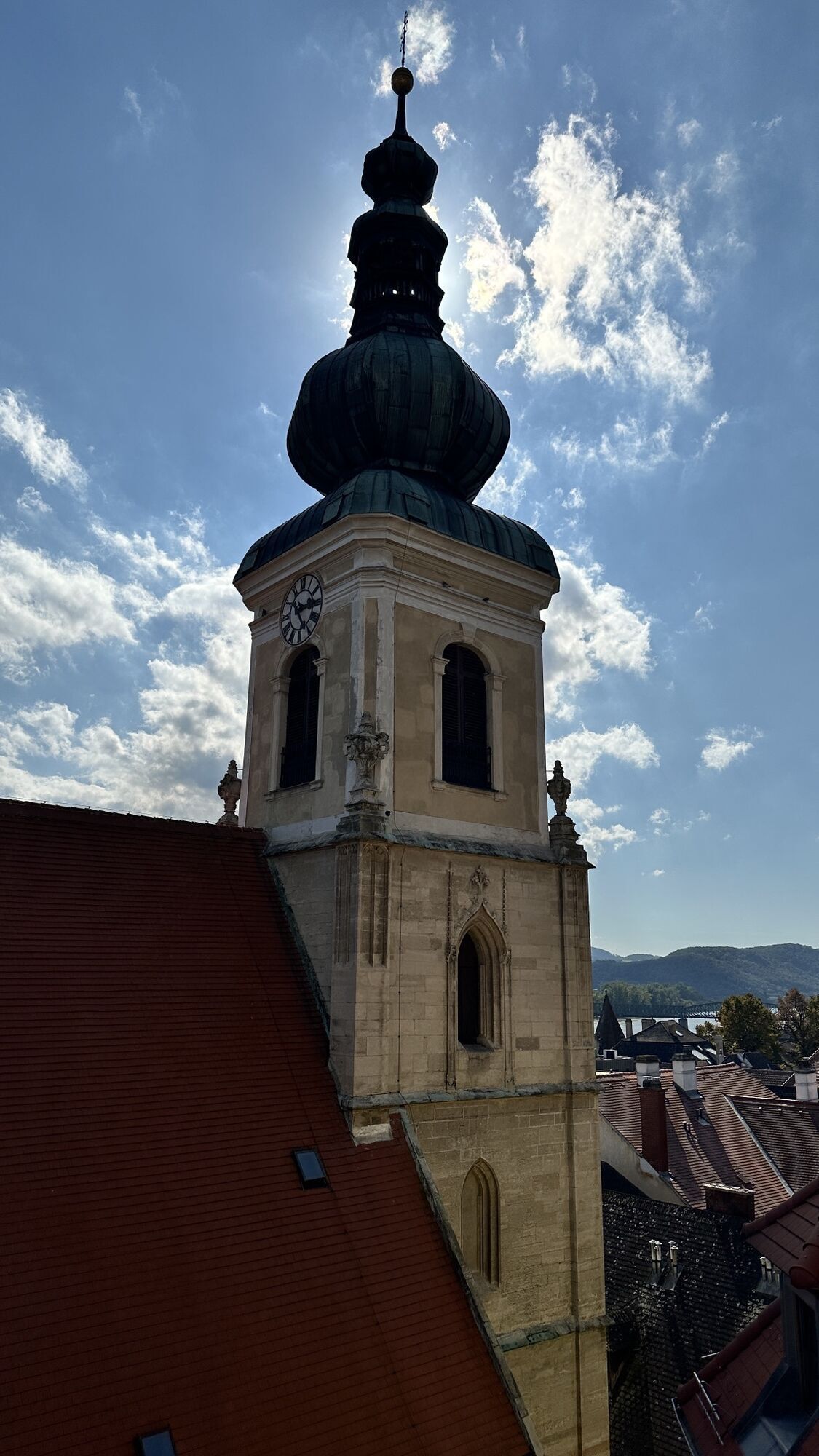
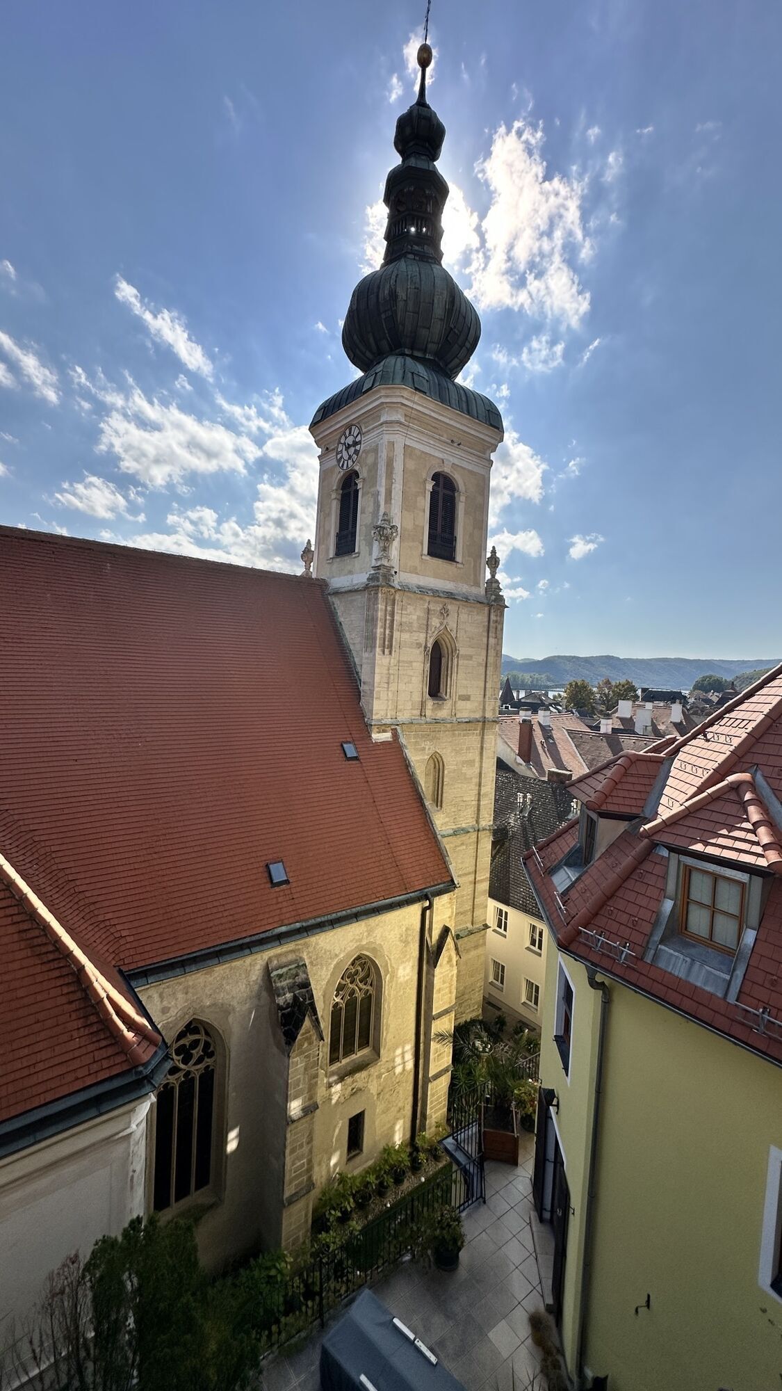
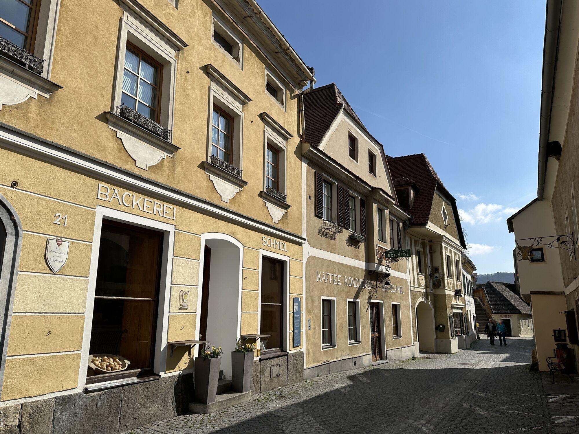
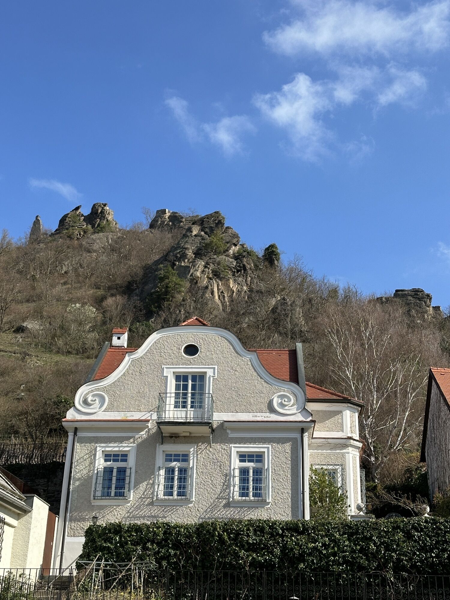
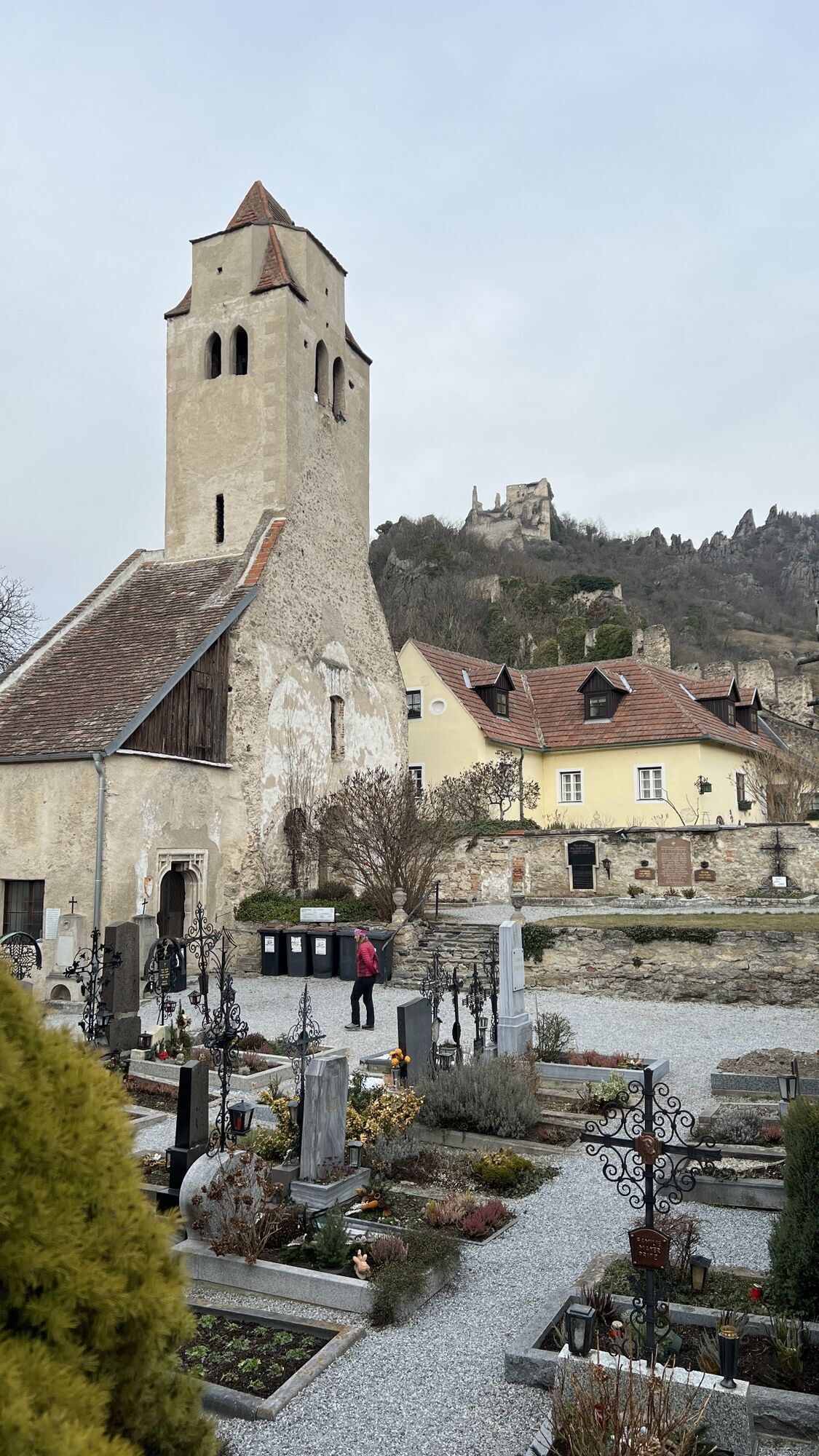
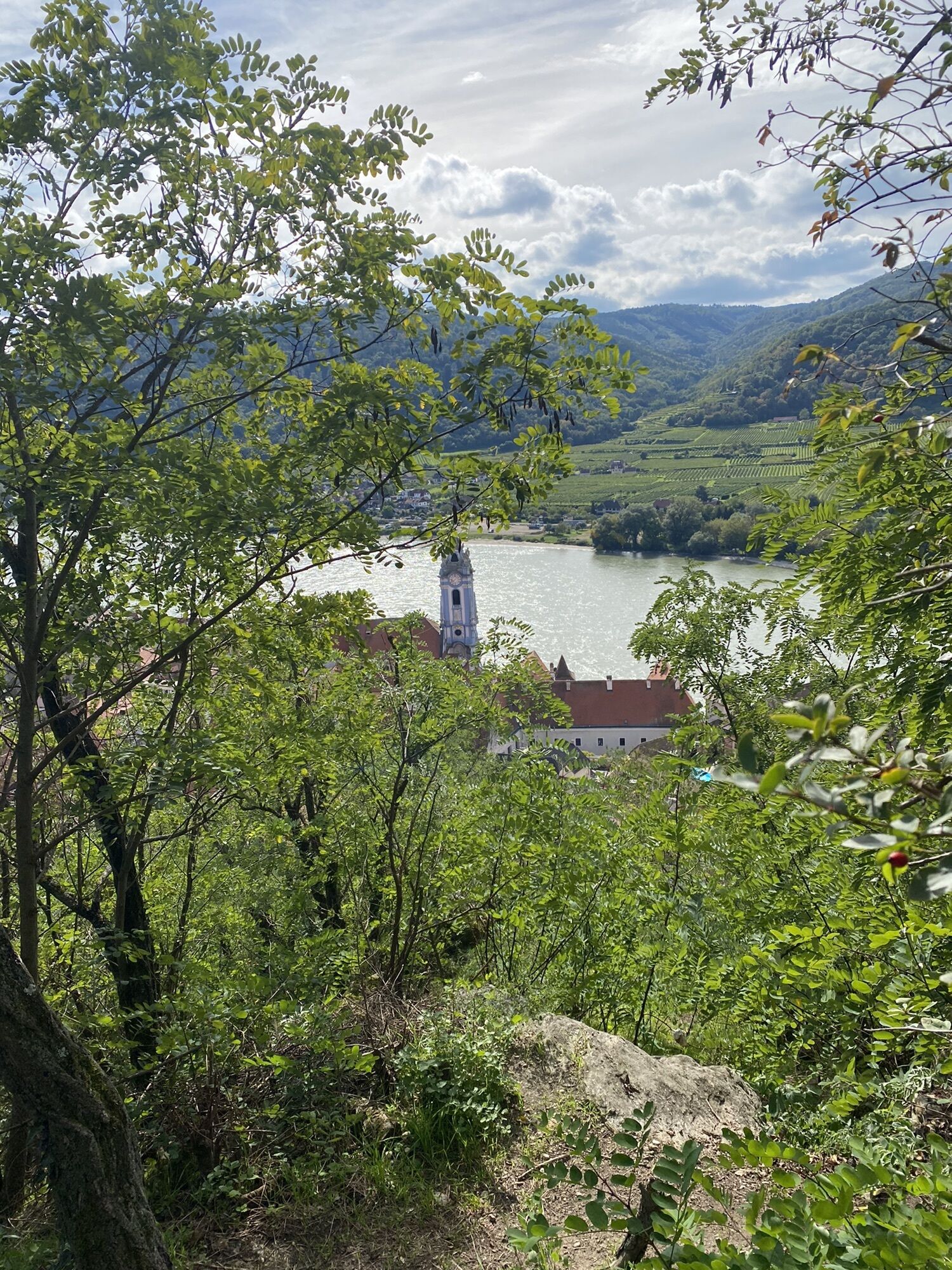
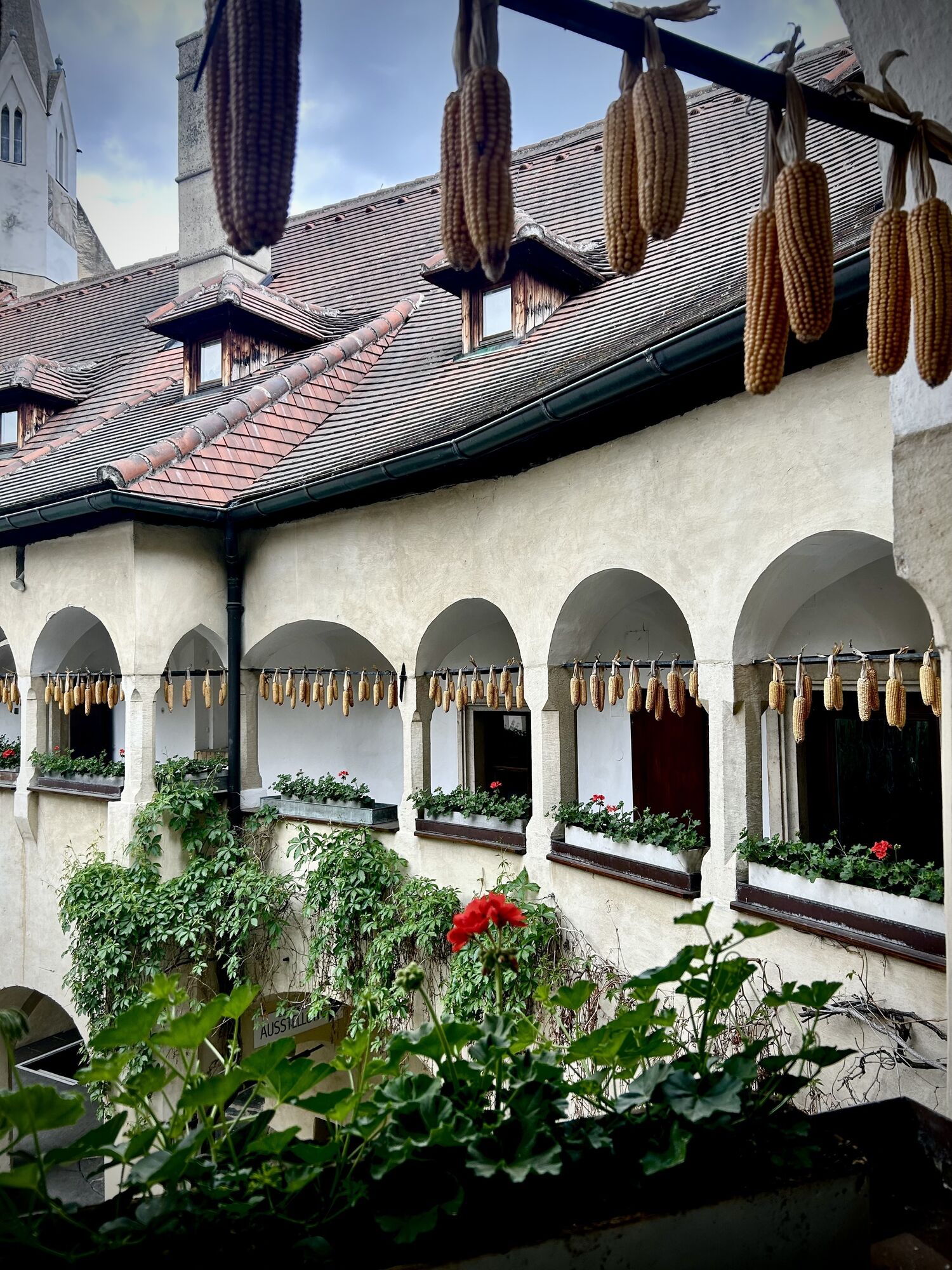
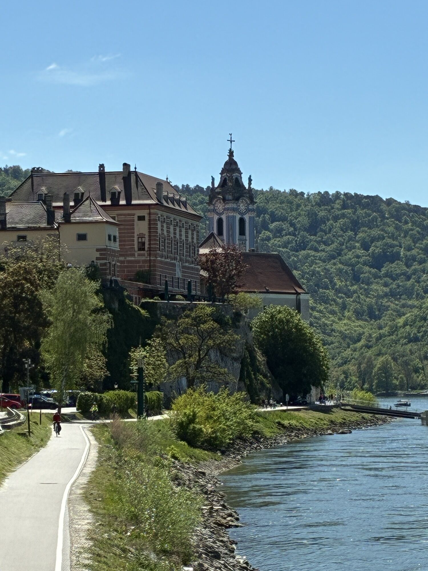
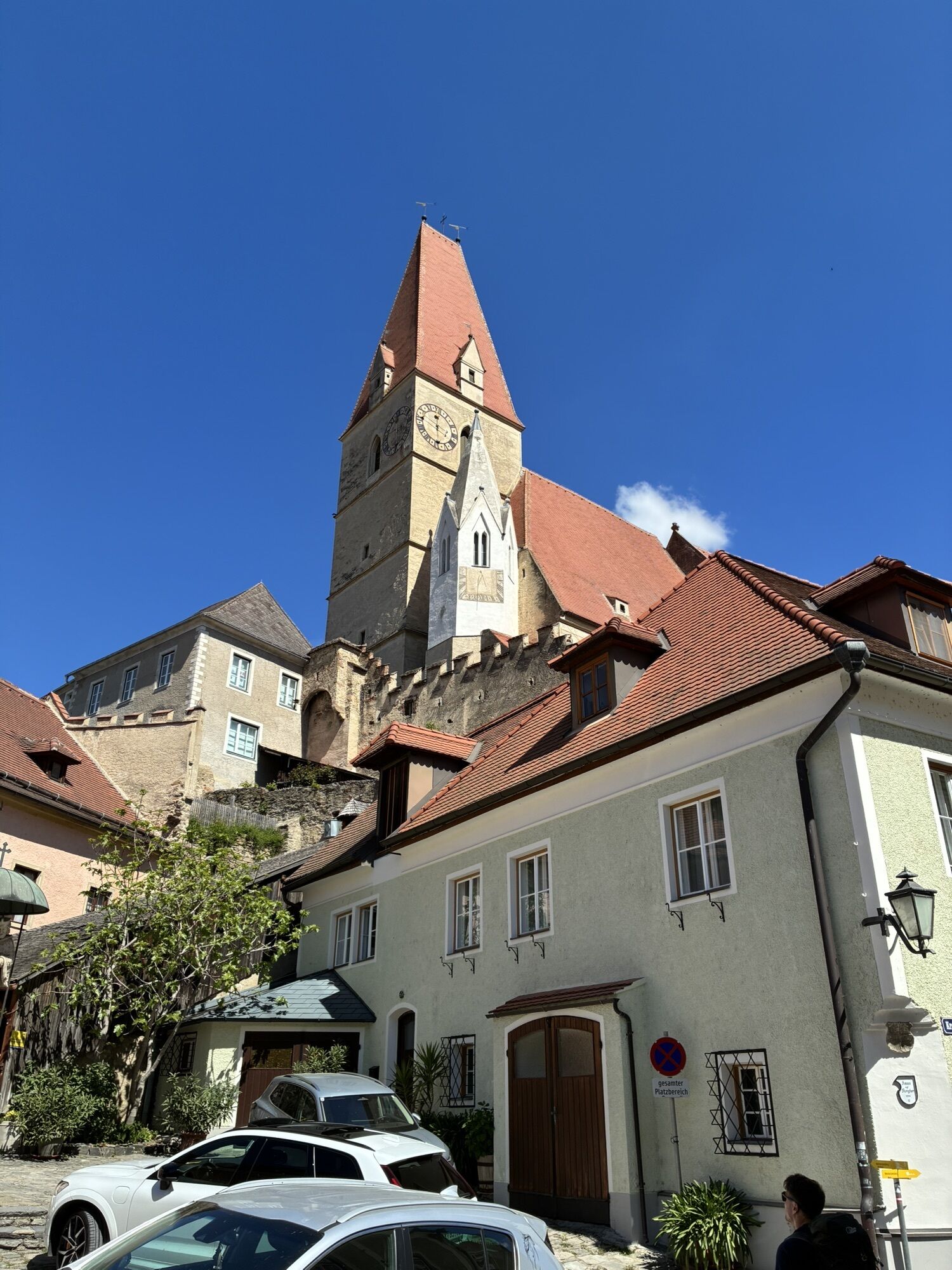
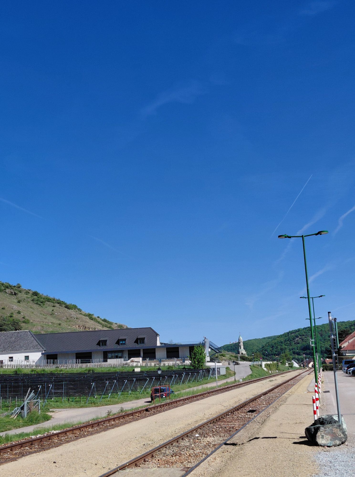
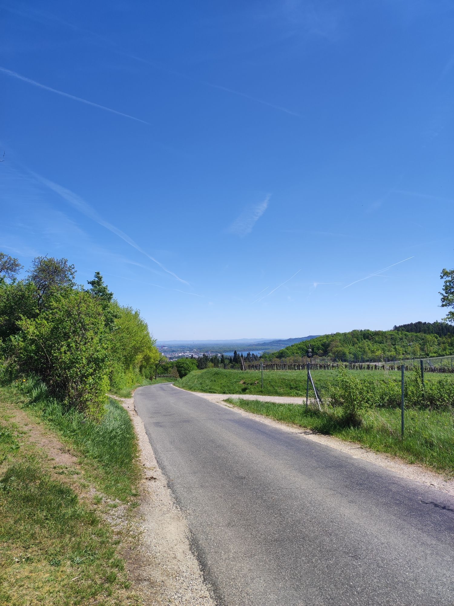
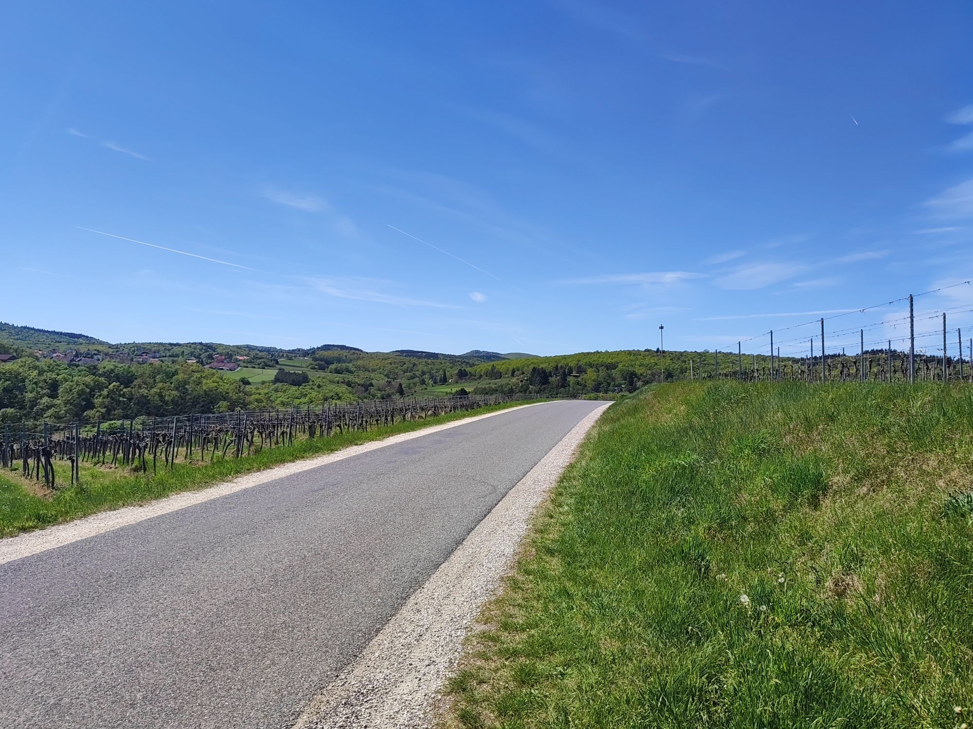
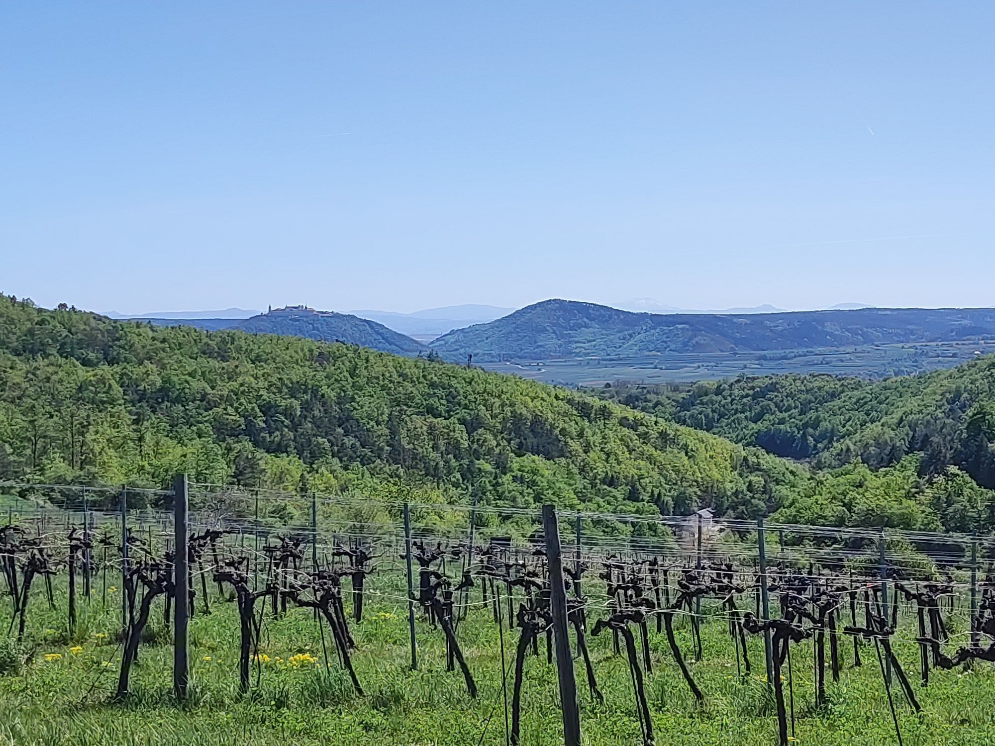
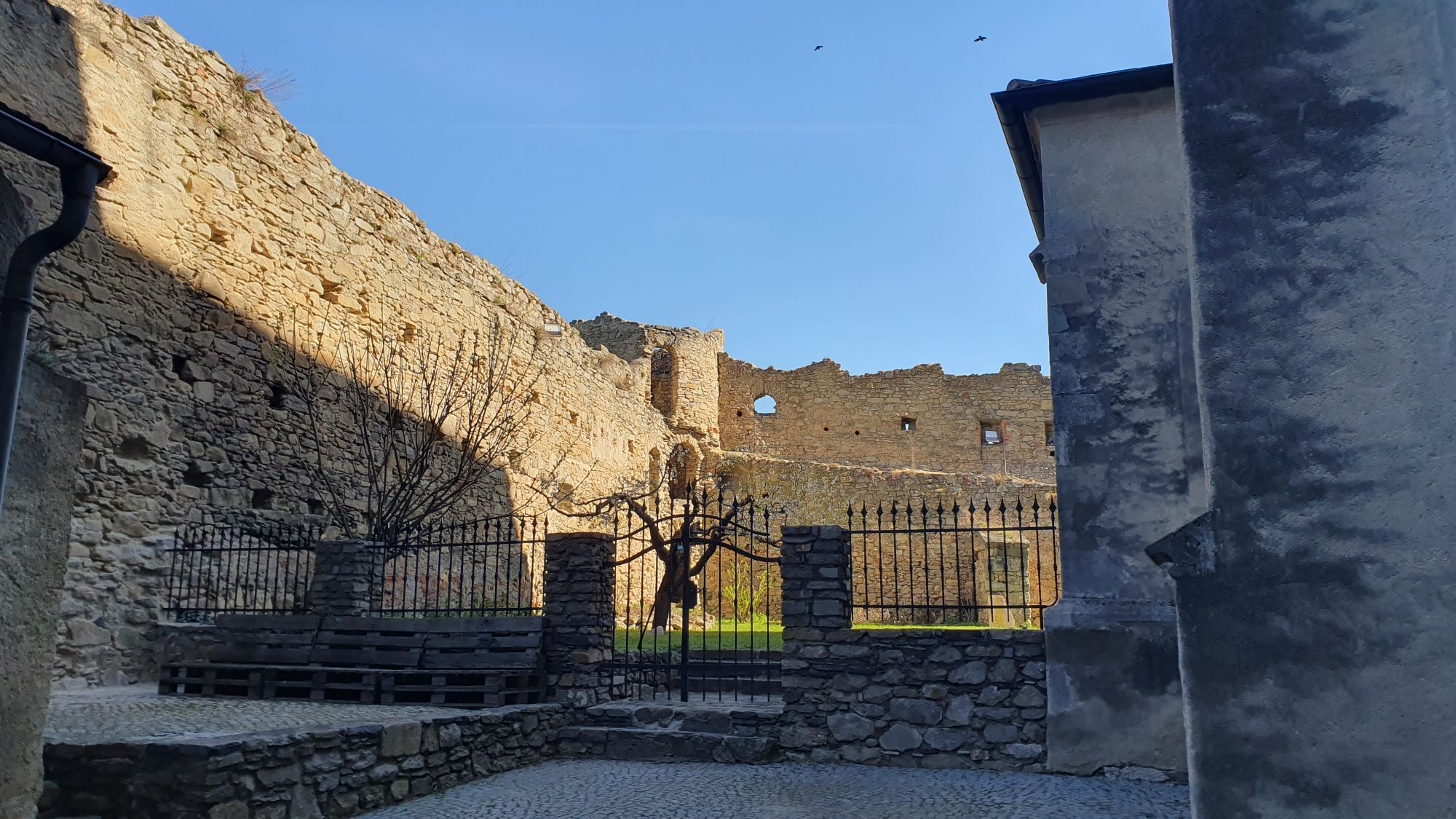
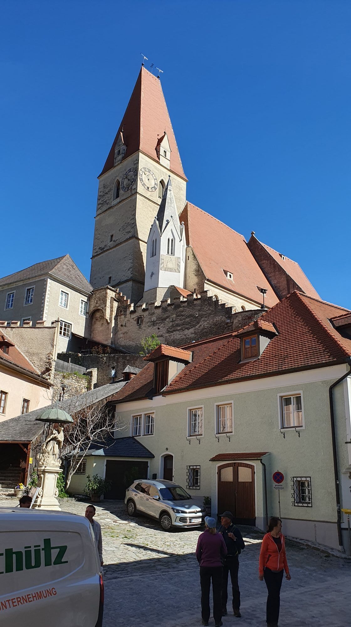
<p>Our bike route begins at the Danube promenade in Krems, where romantic arcaded courtyards, sociable cafés, and cozy inns invite you to stroll and linger in the medieval old town. We follow Dr. Karl Dorrek Street past the university until the Alauntal branches off to the left. Parallel to the Alaunbach, we steadily cycle uphill through the idyllic valley and shortly reach the outskirts of Krems. At the junction, we keep to the left and shortly afterwards cross Egelsee with its impressive Motorcycle Museum. After the last houses, a beautiful field and forest landscape awaits us, with our road continually climbing westward. Passing Jägerberg, we reach the crossroads near the Dürnstein forest huts and continue straight ahead towards Sandlbaur. After the small hamlet, we follow the asphalt road further through beautiful forest areas to Stixendorf, where we can recover from our previous exertions. From here it is not far to the dreamy village of Weinzierl am Walde with its picturesque church. In the lovely Grubach valley, we then descend to the picturesque wine village of Weißenkirchen. Together with the wine villages of Joching, Wösendorf, and St. Michael, Weißenkirchen is the largest wine-growing municipality in the Wachau. Around the historic town center with the picturesque Gothic parish church, there are idyllic alleys and courtyards inviting you to linger. The cultural center is the Teisenhoferhof, which dates back to the 13th century and houses the worthwhile Wachau Museum. In summer, the romantic courtyard is also the venue of the famous Wachau Festival. After an extensive visit, we leave the village via Kremser Street and briefly follow the federal road. Slightly uphill, we turn left onto a smaller street that takes us through the beautiful Frauengärten vineyards. Our path intersects the federal road again, and we follow it along the Danube to Dürnstein. With its impressive Augustinian Canons Monastery and its magnificent Baroque church, Dürnstein is considered one of the most romantic places on the Danube. In the Dürnstein Ruin, formerly the castle of the Kuenringers, King Richard the Lionheart of England was held captive in 1192. Today, there is a wonderful view over the surrounding vineyards and the Danube valley. Passing cozy cafés and inviting wine taverns, we cycle through the picturesque old town, cross the federal road, and ride parallel to the railway tracks heading east. Along the road, it first turns right and shortly afterwards left to the church in Unterloiben. Here we keep left and follow the main street through the village to Rothenhof, where we rejoin the federal road. Between vineyards and the Danube bank, the road leads us along the railway tracks towards Förthof. Here we leave the federal road and reach Steiner Landstraße via Förthofstraße. We cross the Reisperbach, continue straight through the picturesque old town of Stein and over the impressive Krems Art Mile. At the crossroads at the Kremser Gate in front of Krems University, we turn right and shortly reach our starting point at the Danube promenade.</p>
<p>Rain protection, sufficient drinks and catering</p>
<p>A1 to the Sankt Pölten junction, then via S33 to Krems</p>
<p>By train to Krems</p>
<p>Paid parking garage in Wachaustraße near the Krems bridge in Krems</p>
Sights along the route:
Krems:
Krems Art MileLower Austria State Gallery
Art Hall
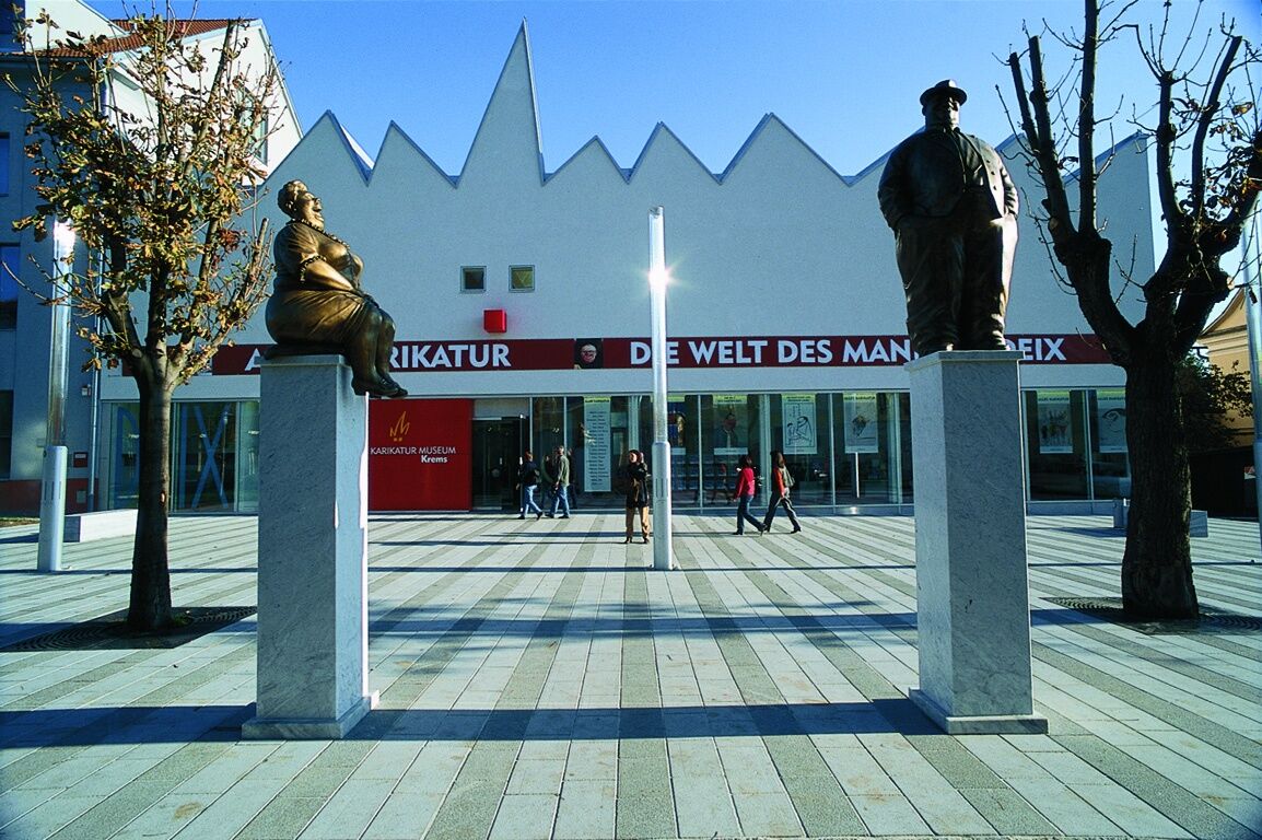
Caricature Museum
Egelsee:
Motorcycle MuseumWeißenkirchen:
Wachau Museum in the TeisenhoferhofDürnstein:
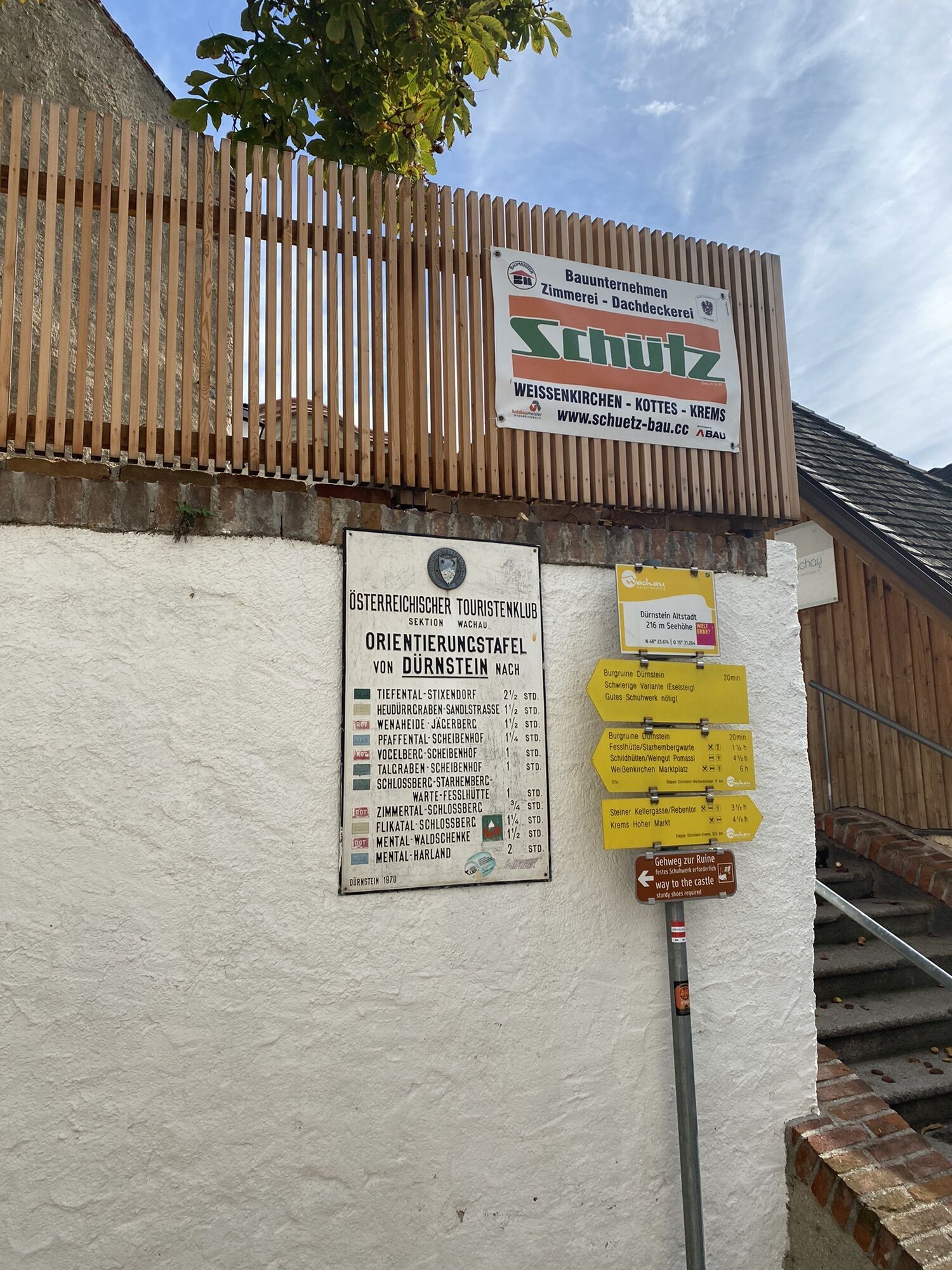
Dürnstein RuinGuest Information
KREMS TOURISMUS GmbH, Körnermarkt 14, 3500 Krems an der Donau, Tel.: +43 (0) 2732 82676, willkommen@krems-tourismus.at
For simple and convenient tour planning, the Wachau-Nibelungengau-Kremstal app is recommended. Simply download for Android or iPhone.
A visit to the historic town center of Krems, which was declared a UNESCO World Heritage Site in 2000, is highly recommended. Krems also received the Europa Nostra Diploma, one of the highest international awards, for its exemplary old town renovation.
Webové kamery z prehliadky
Získajte prehľad
Vždy naživo na mieste s viac ako 9 500 webovými kamerami. bergfex Ako používateľ Pro si teraz môžete pozrieť príslušné webové kamery pre mnohé zájazdy v aplikácii zájazdy z. Môžete si tak priamo prezerať aktuálne podmienky.


Obľúbené výlety v okolí
-
4,5
Welterbesteig Wachau 02: Dürnstein-Weißenkirchen
svetlodiaľková pešia trasa 15,9 km -
4,4
Welterbesteig Wachau 03: Weißenkirchen-Spitz
svetlodiaľková pešia trasa 10,4 km -
4,6
Welterbesteig Wachau 01: Krems-Dürnstein
svetlodiaľková pešia trasa 12,3 km -
4,8
Vogelbergsteig -Kanzel- Fesselhütte - Ruine Dürnstein zum Heurigen in Furth
strednáTuristika 7,59 km -
4,7
Rundhöhenwanderweg Weißenkirchen in der Wachau - Schildhütten - Cholerakreuz - Weißenkirchen
svetloTuristika 8,75 km -
4,7
Wachau: Seekopf - Hirschwand
strednáTuristika 10,4 km -
4,6
Krems (Welterbesteig) - Dürnstein - Vogelbergsteig - Kanzel - Fesslhütte - Krems
strednáTuristika 18,0 km -
4,5
Maria Langegg - Rote Wand - Hoher Stein - Kastlkreuz
strednáTuristika 11,4 km -
4,5
Panoramaweg Weissenkirchen
svetloTuristika 5,04 km -
4,4
Wachauer Marillenerlebnisweg, Krems-Angern
svetloTuristika 6,04 km
Turistika a stopovanie


Nenechajte si ujsť ponuky a inšpiráciu na ďalšiu dovolenku
Vaša e-mailová adresa bol pridaný do poštového zoznamu.





