


Birnenblick bike route

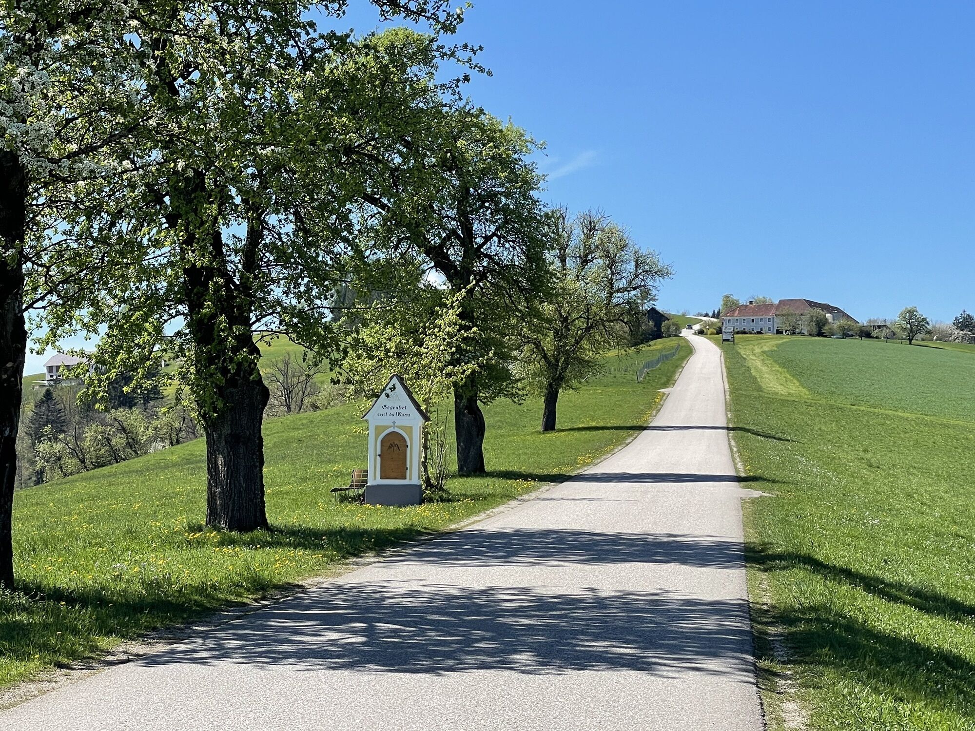
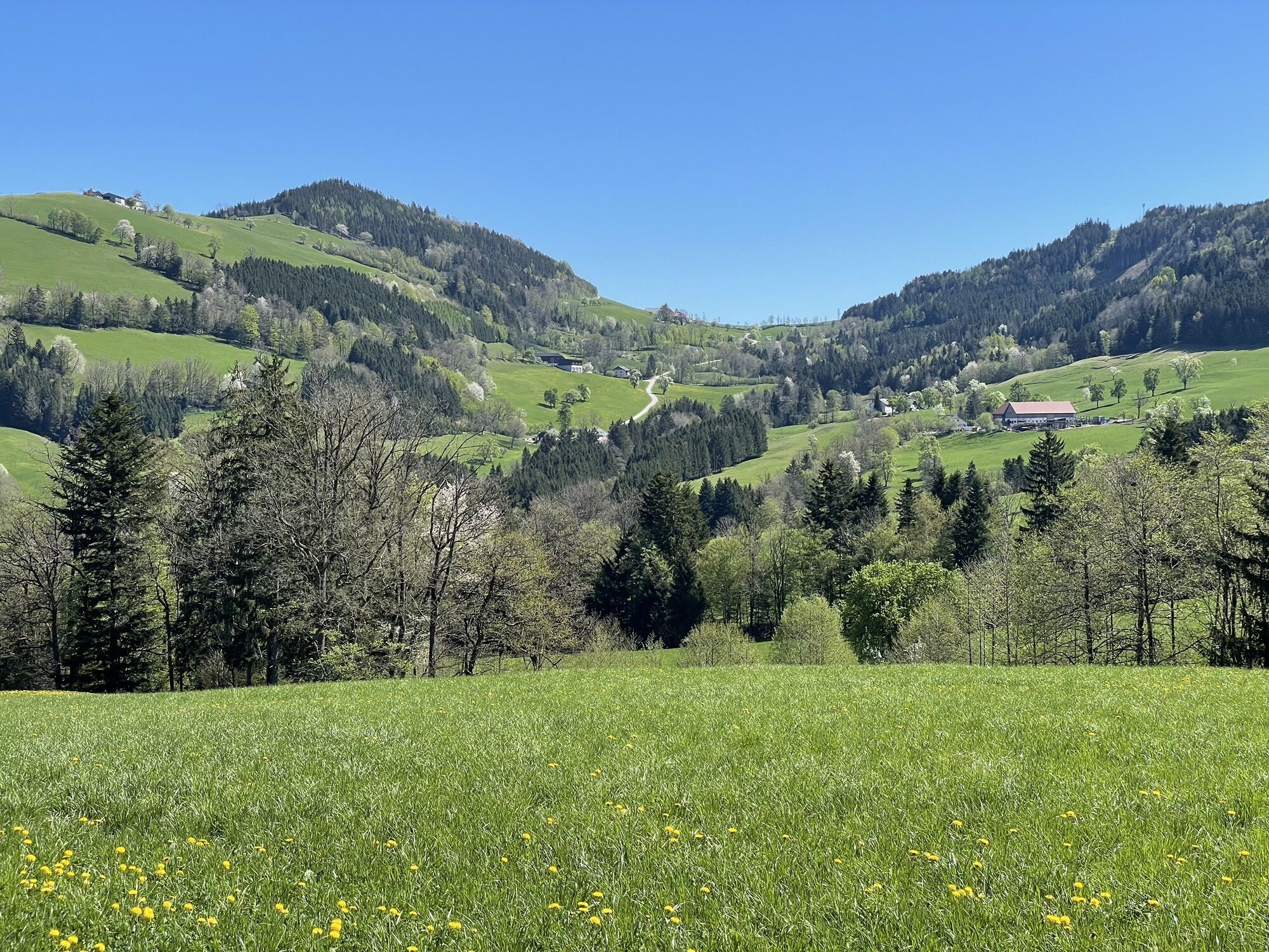
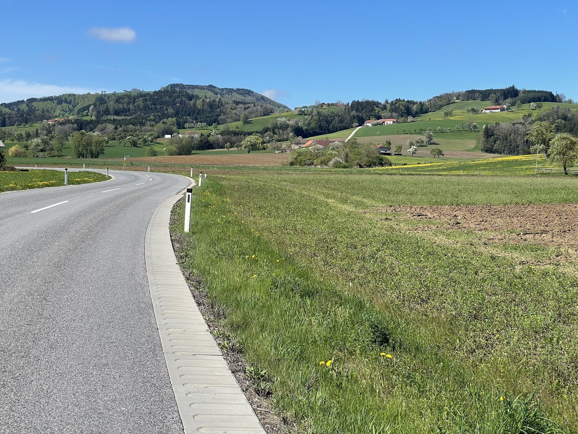
The Birnenblick cycle route is a hilly, moderately demanding day tour along asphalted roads with little traffic. The entire route leads partly along small rivers and the hilly landscape typical of the...
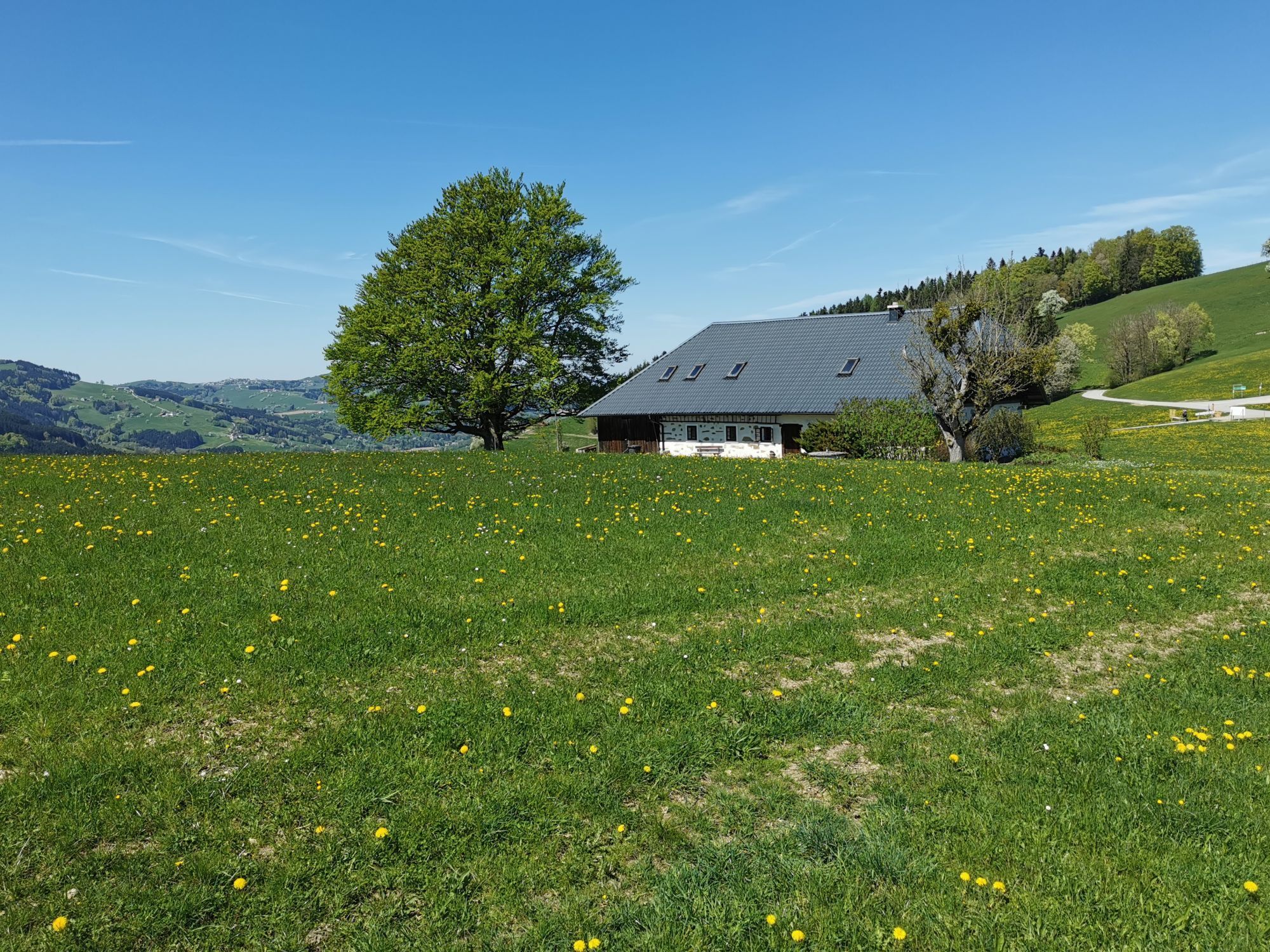
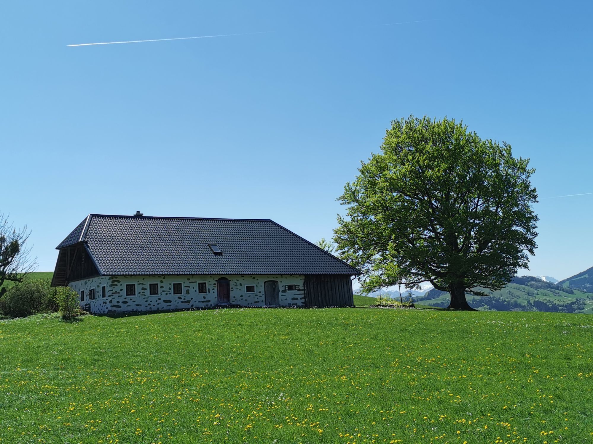
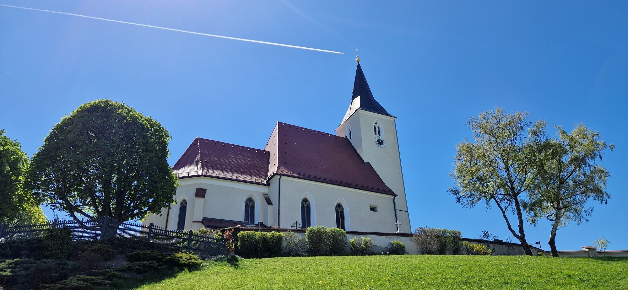
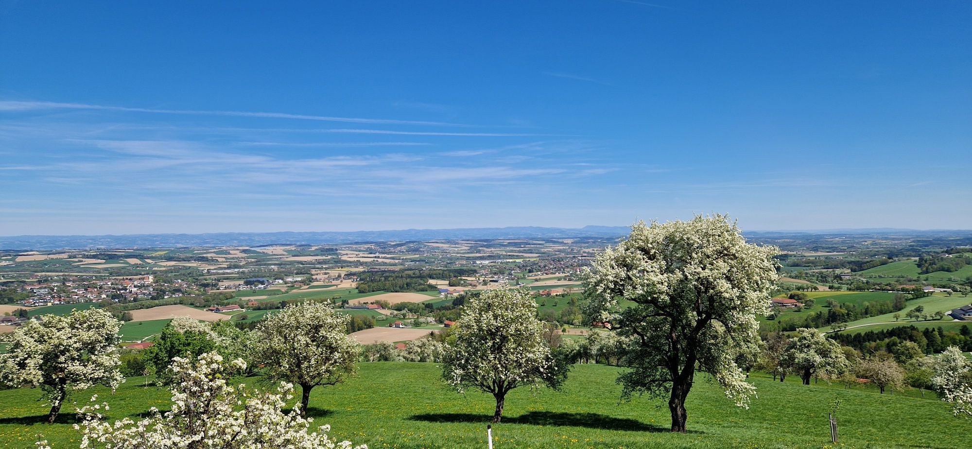
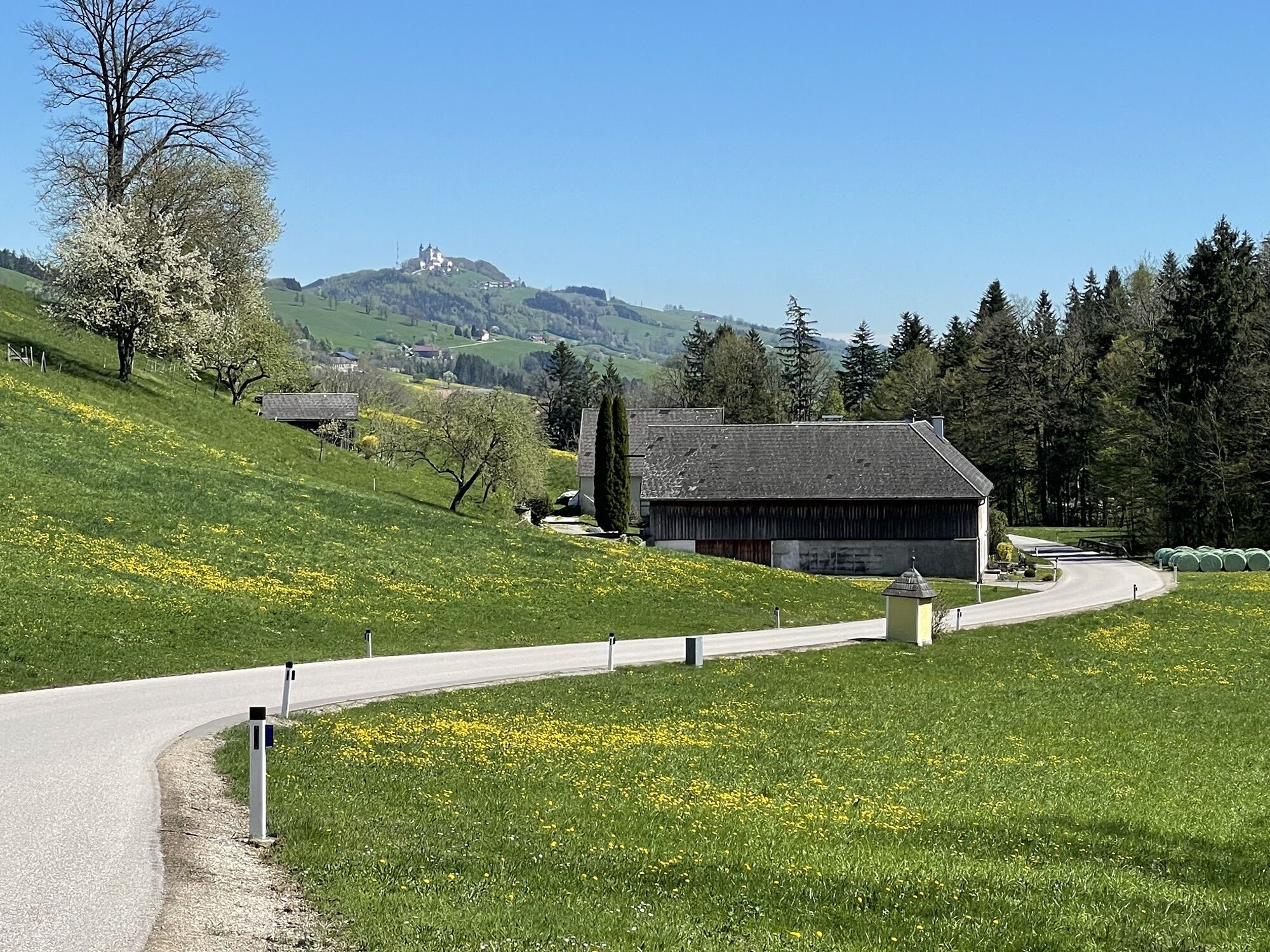
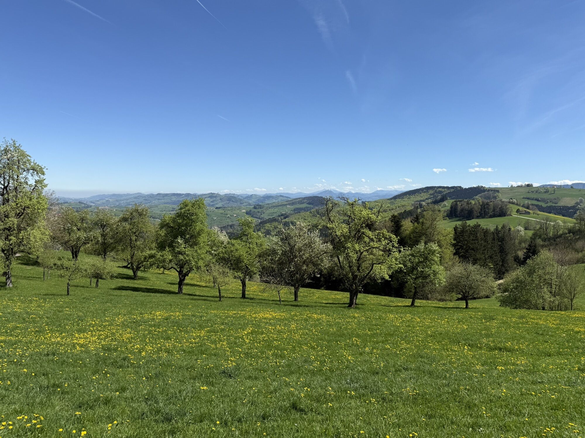
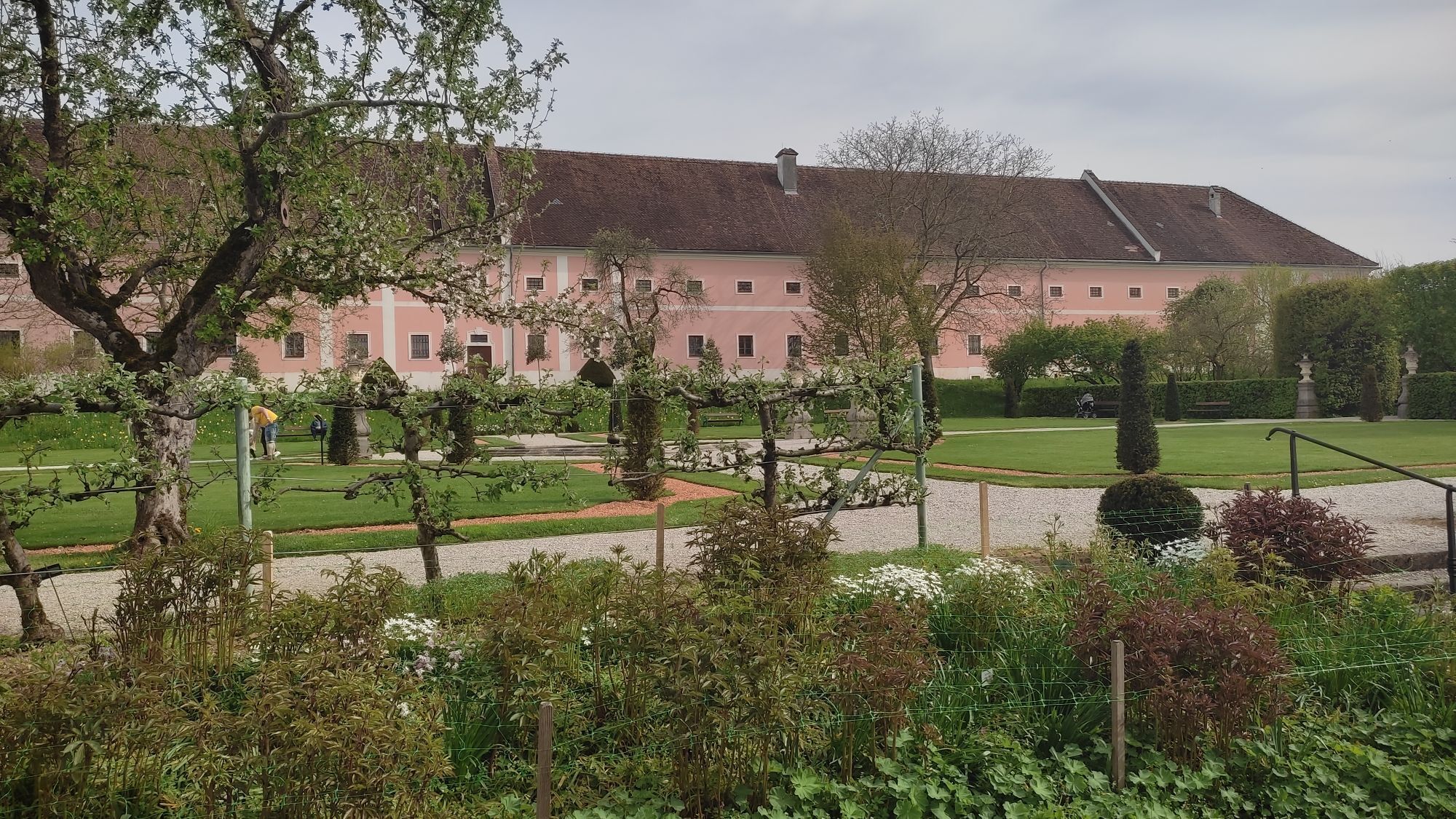
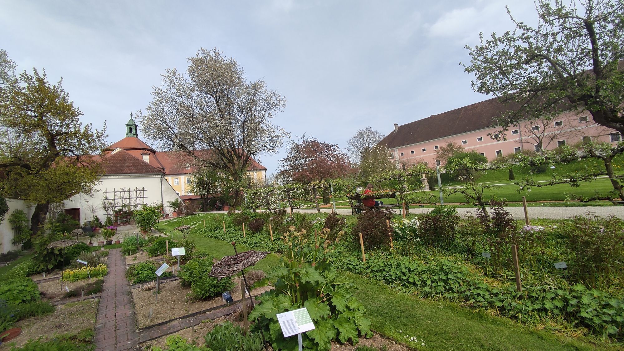
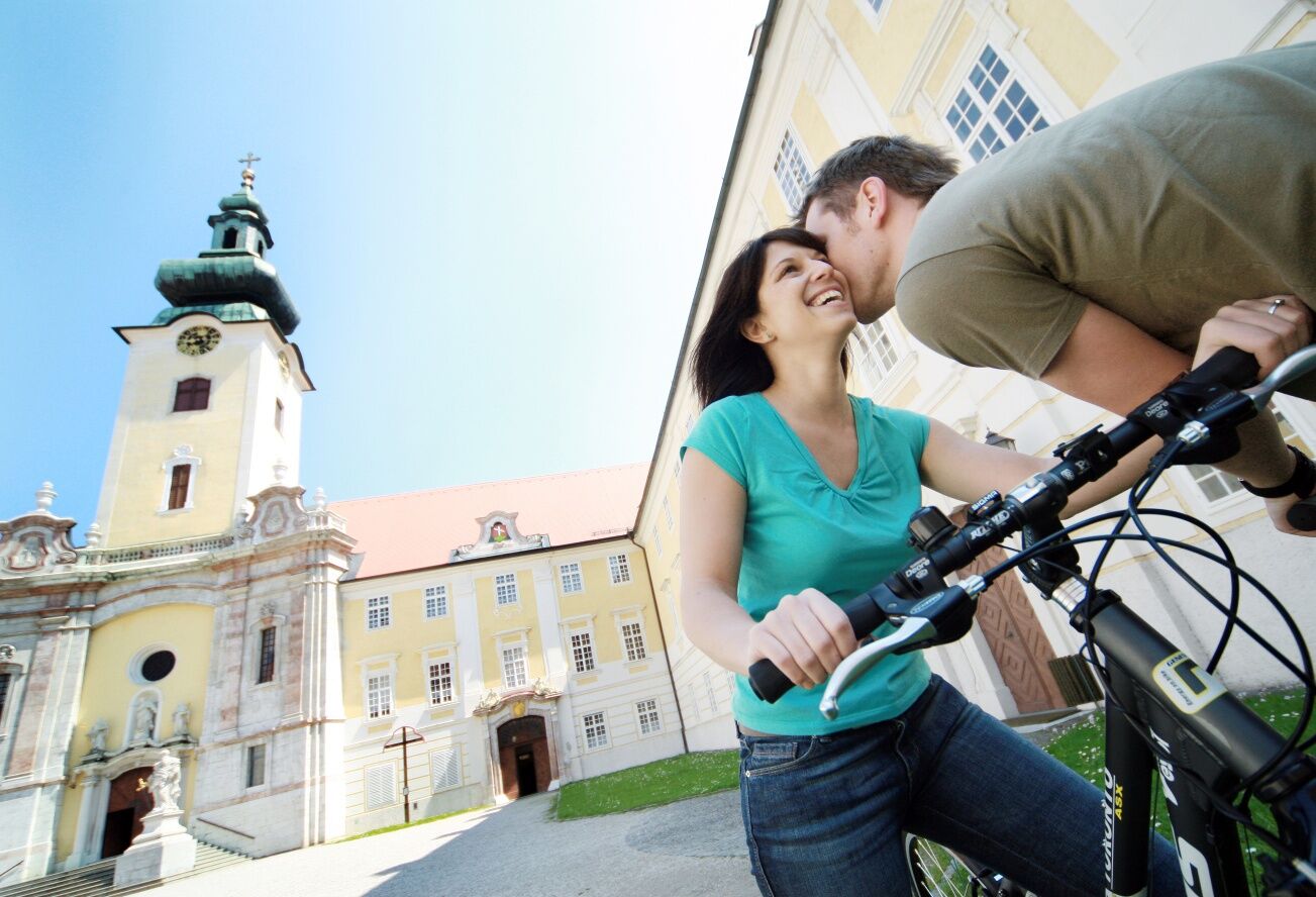
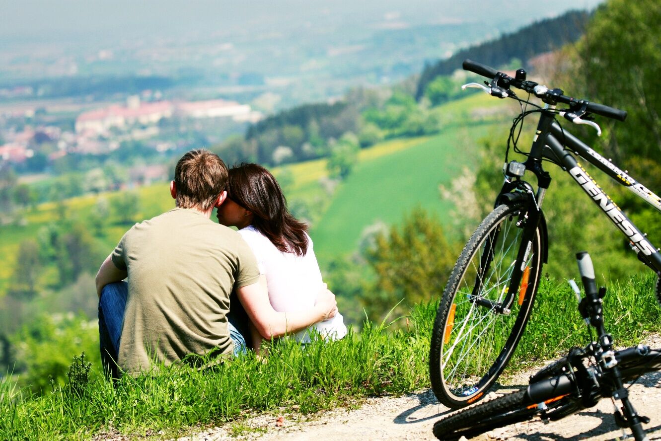
The Birnenblick cycle route is a hilly, moderately demanding day tour along asphalted roads with little traffic. The entire route leads partly along small rivers and the hilly landscape typical of the region with beautiful views of the countryside. The cultural highlight and starting point of the tour is Seitenstetten Abbey, which is well worth seeing.
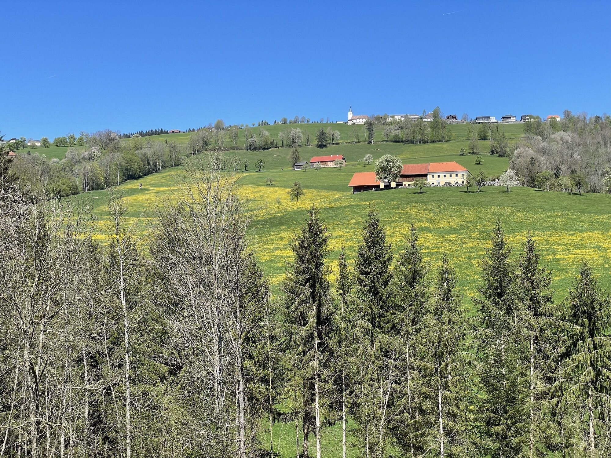
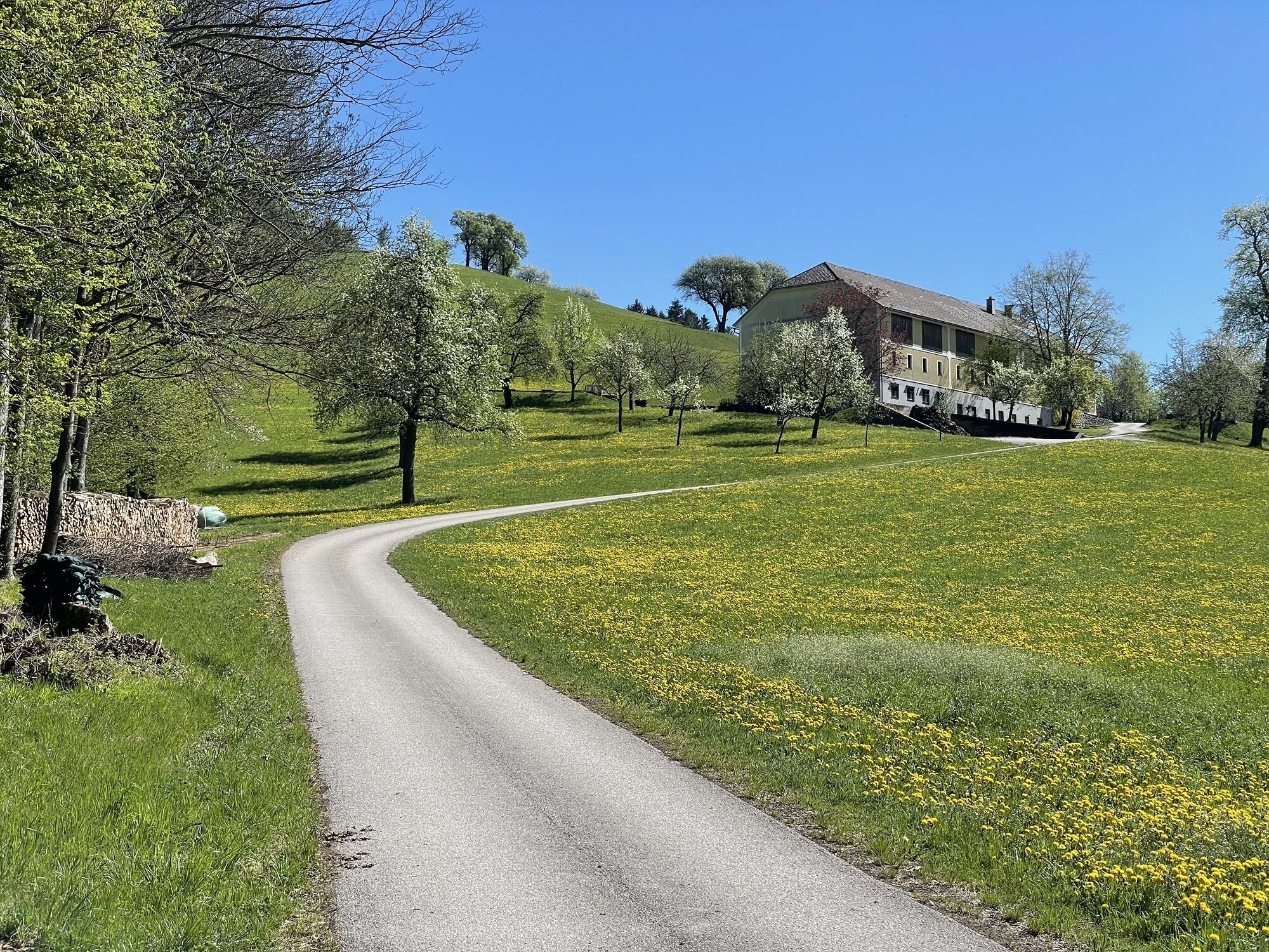
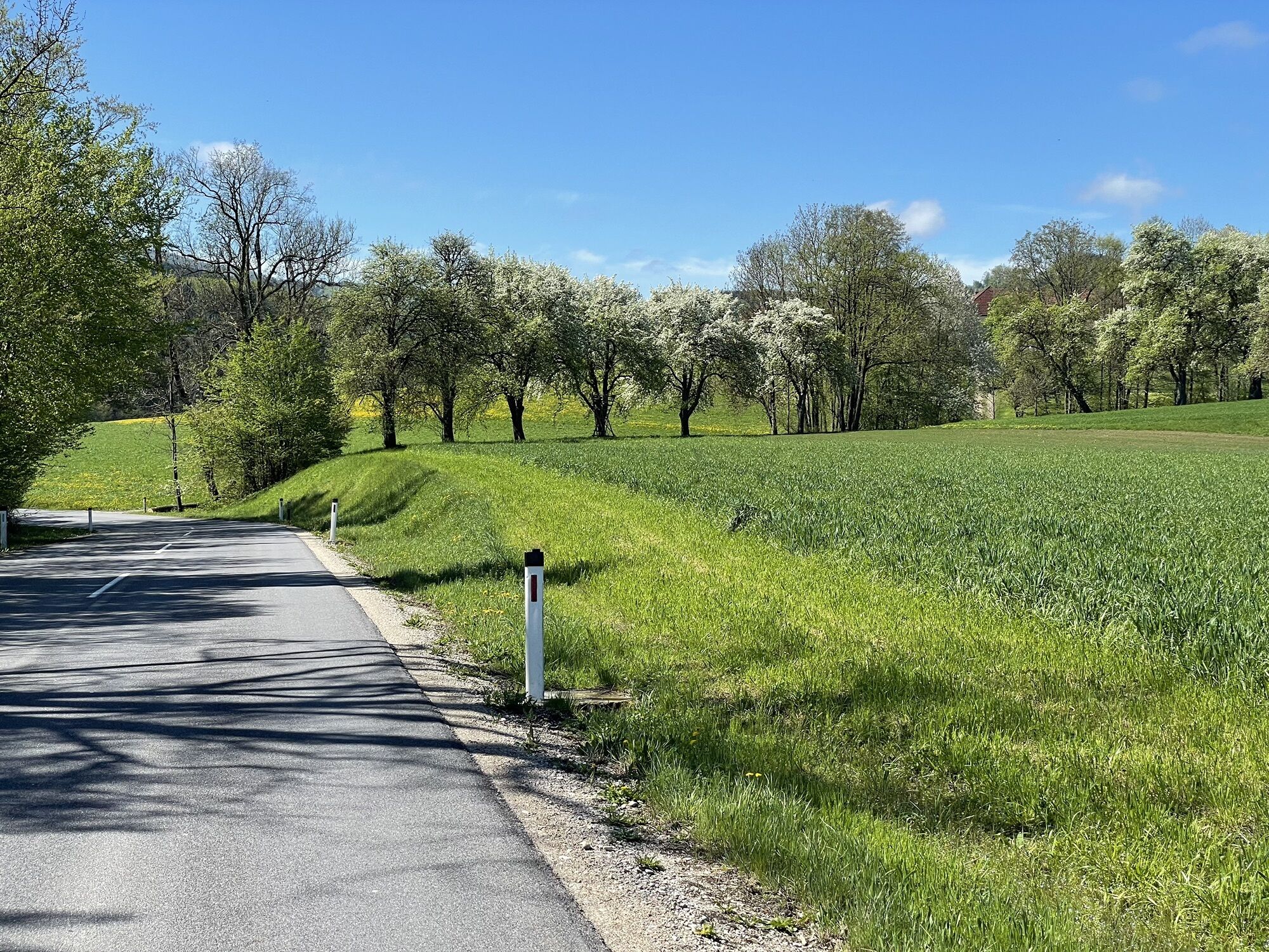
The first part along the Urltal valley is largely flat, after which it becomes a little more challenging. From St. Peter/Au to Großau, the route runs partly on its own cycle path next to the road. Along the route, there are several Moststraße inns and (e-)bike-friendly businesses that invite you to stop for refreshments.
Note: The cycle route is signposted in both directions and can also be cycled in the other direction.

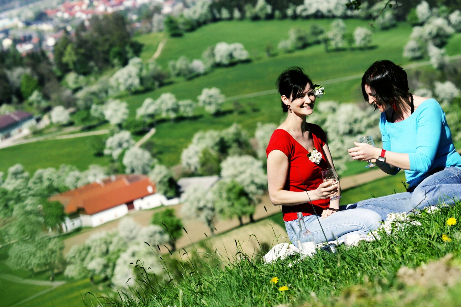
The route begins flat on a well-paved and lightly trafficked road to St. Peter/Au. From there, it runs along the Url valley to Großau mostly on a dedicated bike path beside the road. In this section, a stop at the Moststraße hosts like Gasthaus Leitner (St. Michael-Urltal) or Gasthaus Wendtner (Tiefenbach) is worthwhile.
After the slight climb to Großau, a 4 km gentle descent follows where muscles can be relaxed. Then it gets serious: to reach Wieserhöhe, about 300 meters of elevation gain must be overcome over around 4 km.
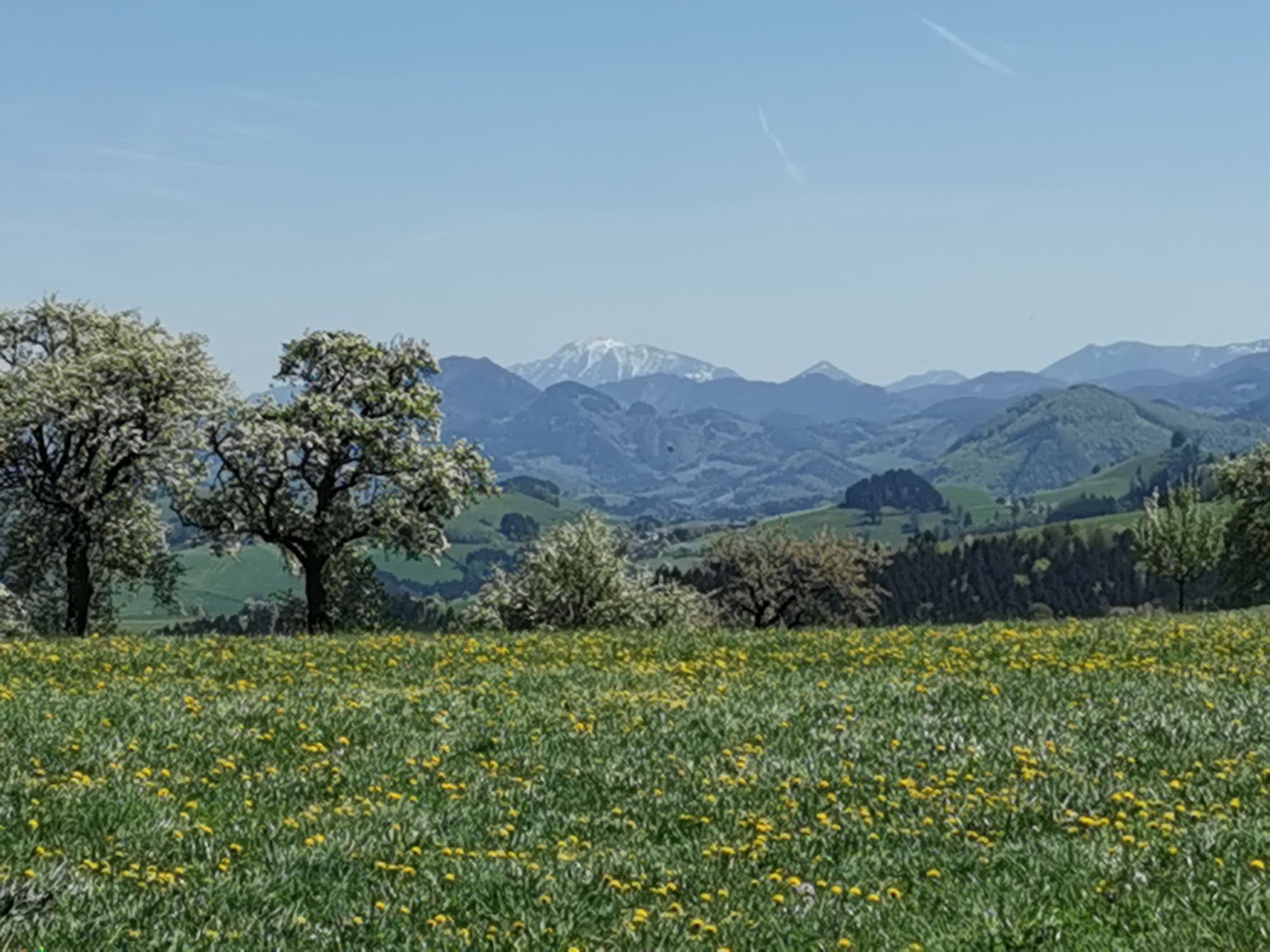
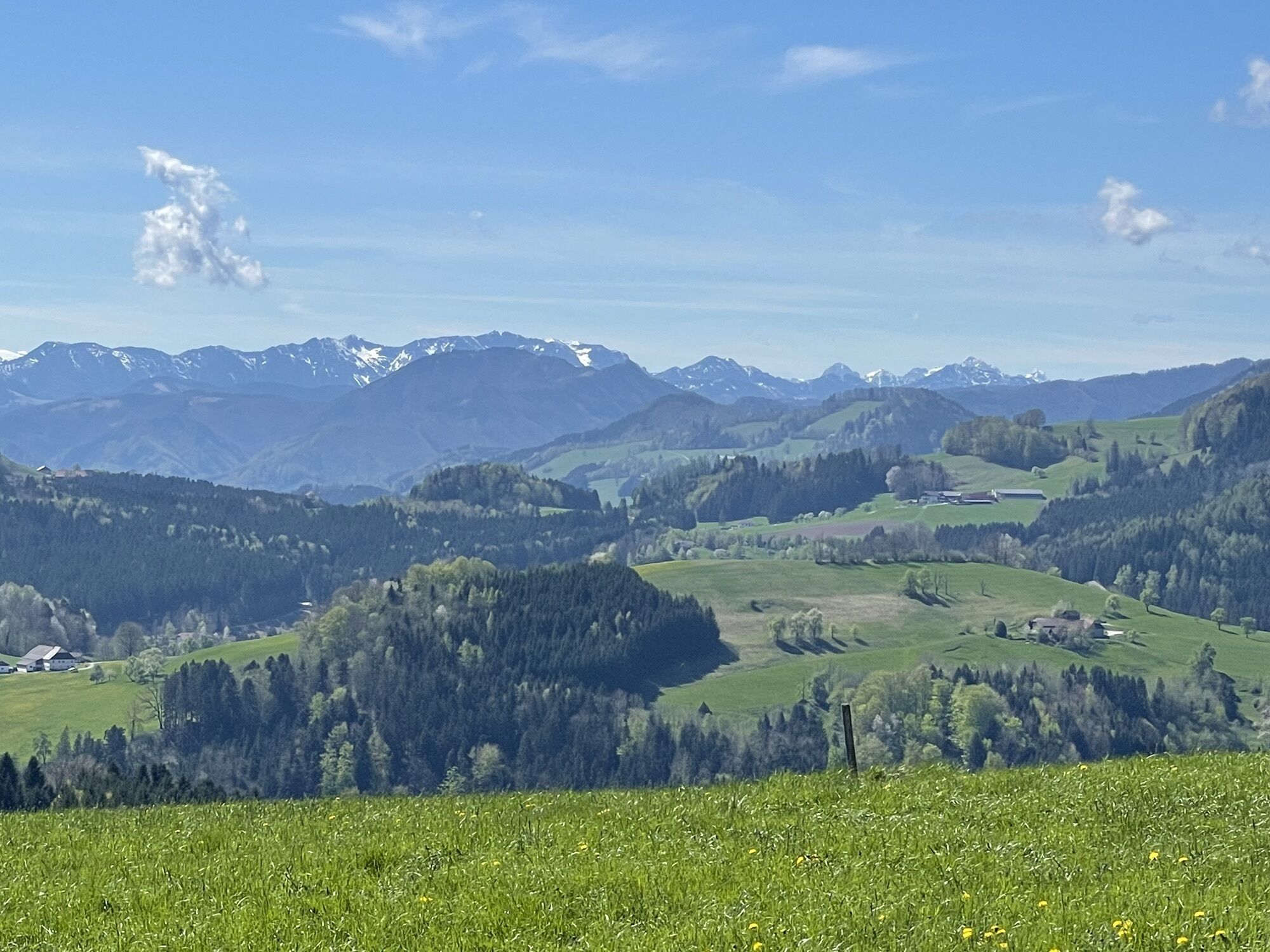
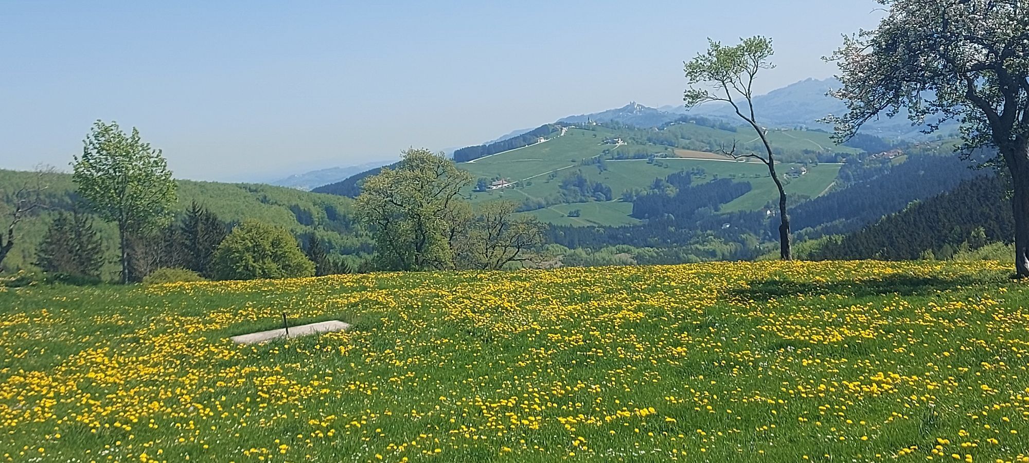
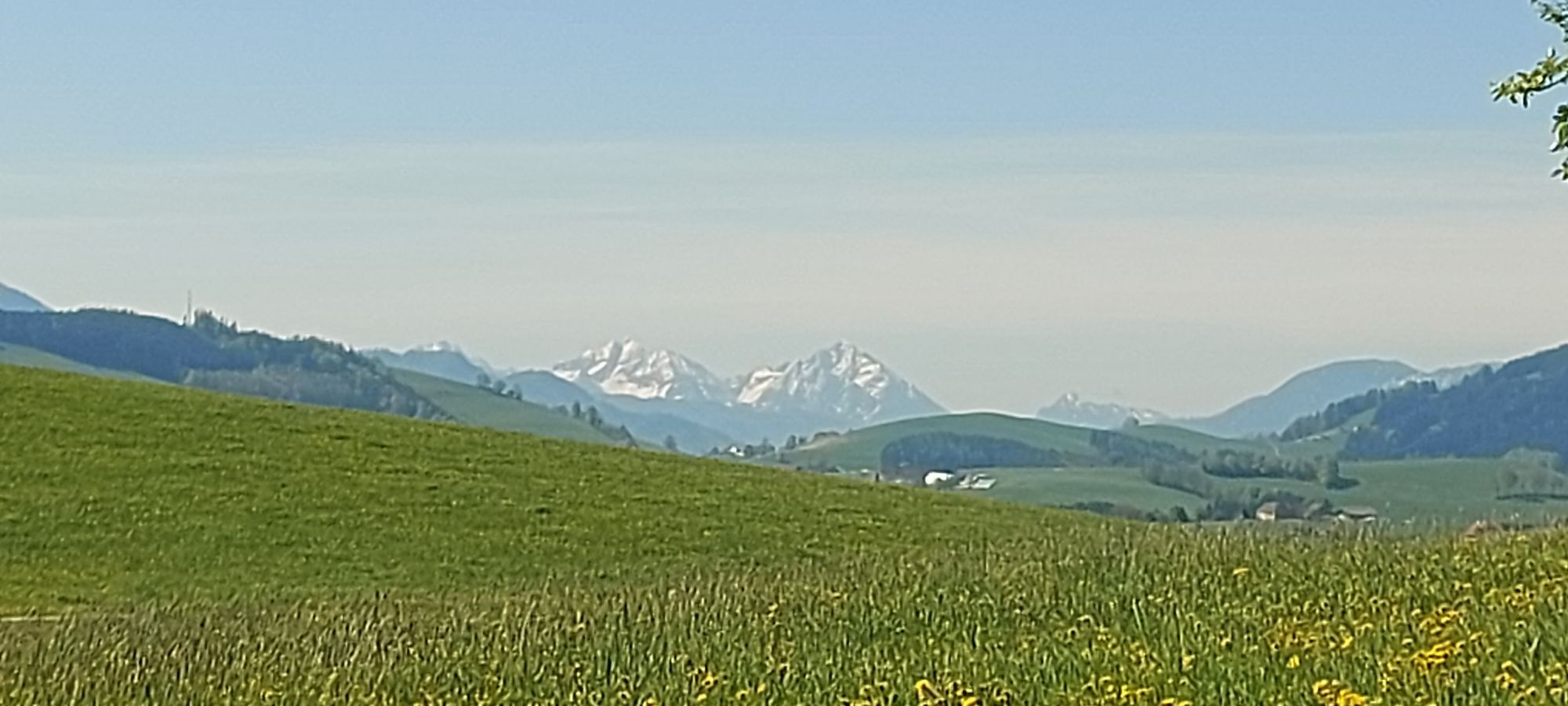
As a reward, many impressive views of the Mostviertel hilly landscape await on the return trip to Seitenstetten along the Mosthöhenstraße, making the route especially attractive for e-bikers.
The approach to Wieserhöhe and along the Mosthöhenstraße involves significant climbs: sufficient fitness required.
By private car: Any boarding point possible.
From Vienna via A1 to Amstetten – exit Amstetten-West – direction B121/Weyerer Straße – turn right onto Alps Str. / B122 – take first exit at the roundabout (Amstettner Str.) – continue to St. Peter/Au or Seitenstetten
From Vienna Westbahnhof to St. Valentin/Amstetten, then on to St. Peter-Seitenstetten.
Return trip partly directly from St. Peter-Seitenstetten to Vienna. (Limited bike transport possible and reservation required).
More timetable info: CallCenter 05-1717, www.oebb.at
At Stift Seitenstetten or in St. Peter/Au.
Dining tips: Stiftsmeierhof Seitenstetten, GH Wendtner (Tiefenbach), GH Mitterböck (St. Michael)

Obľúbené výlety v okolí
-
4,3
Freithofberg
strednáTuristika 9,15 km -
4,4
Kleine Gipfelrunde Glasenberg
svetloTuristika 4,99 km -
3,8
Lindaumauer (1103 m)
Turistika 3,40 km -
4,5
Lindaumauer, Maria Neustift
strednáTuristika 5,53 km -
4,9
Dambergwarte
svetloTuristika 3,28 km -
4,4
Sebaldusweg stage 2 of 4 | Laussa - Maria Neustift
strednáPútnická trasa 20,9 km -
4,5
Sebaldusweg stage 3 of 4 | Maria Neustift - Gaflenz
strednáPútnická trasa 20,4 km -
5,0
Wolkenmauer (638m) und Hölleiten-Wasserfall ab Pechgraben
ťažkéTuristika 4,42 km -
4,7
Sebaldusweg stage 1 of 4 | Großraming - Losenstein - Laussa
strednáPútnická trasa 22,1 km -
4,2
Hölleiten Wasserfall Rundwanderweg
svetloTuristika 13,3 km
Turistika a stopovanie


Nenechajte si ujsť ponuky a inšpiráciu na ďalšiu dovolenku
Vaša e-mailová adresa bol pridaný do poštového zoznamu.