







Moststraße and Mostviertler Mont Ventoux

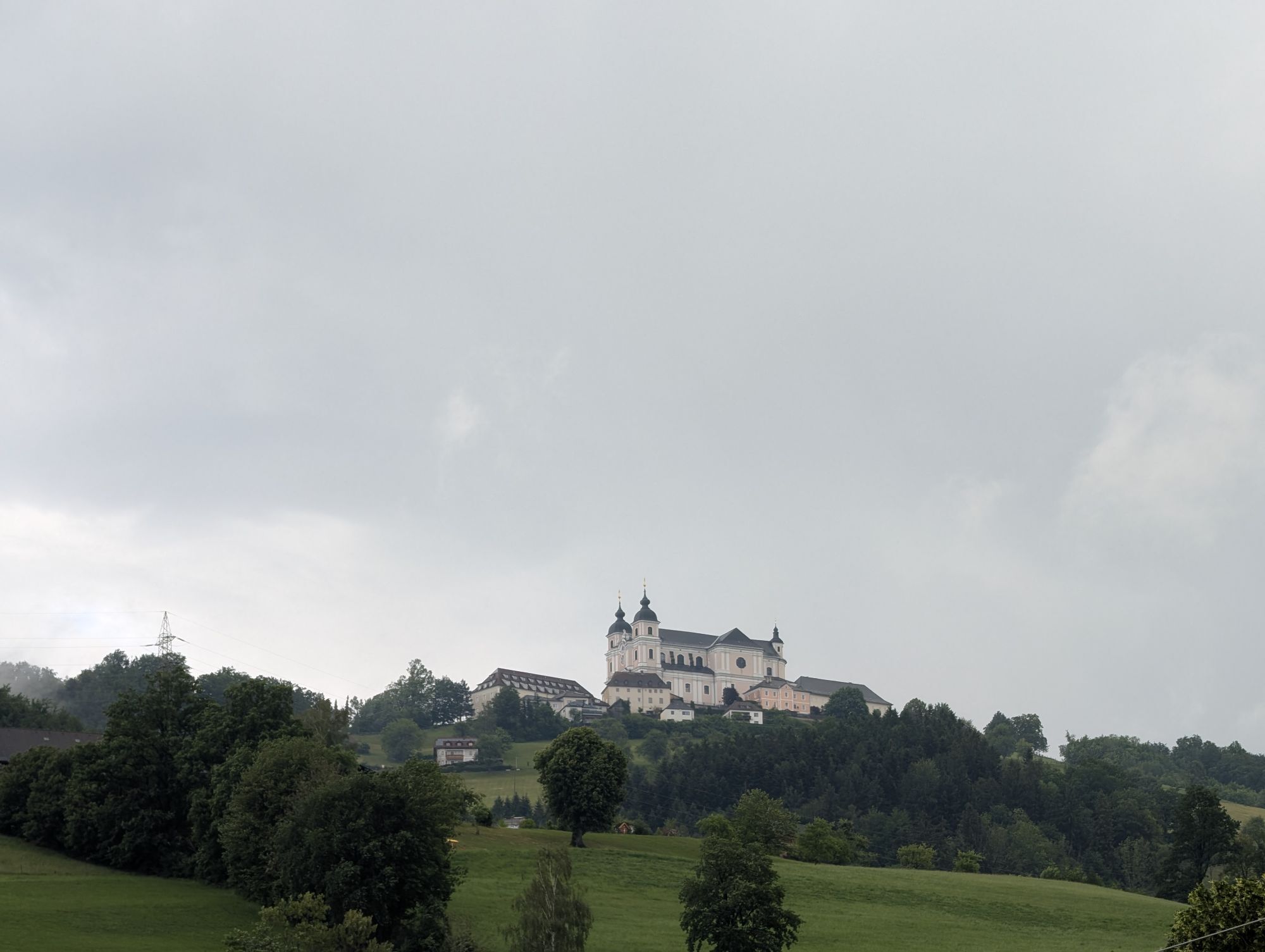
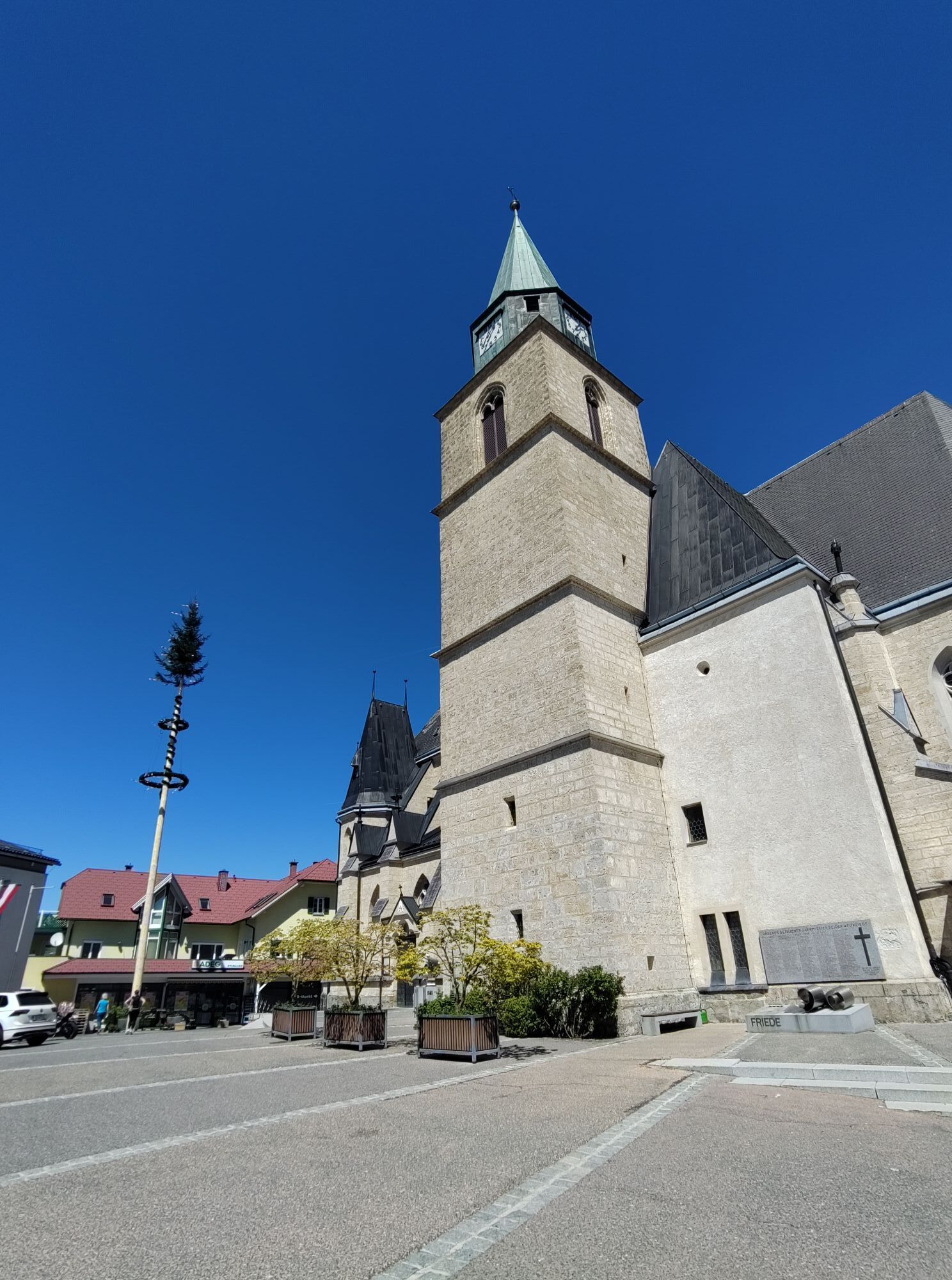
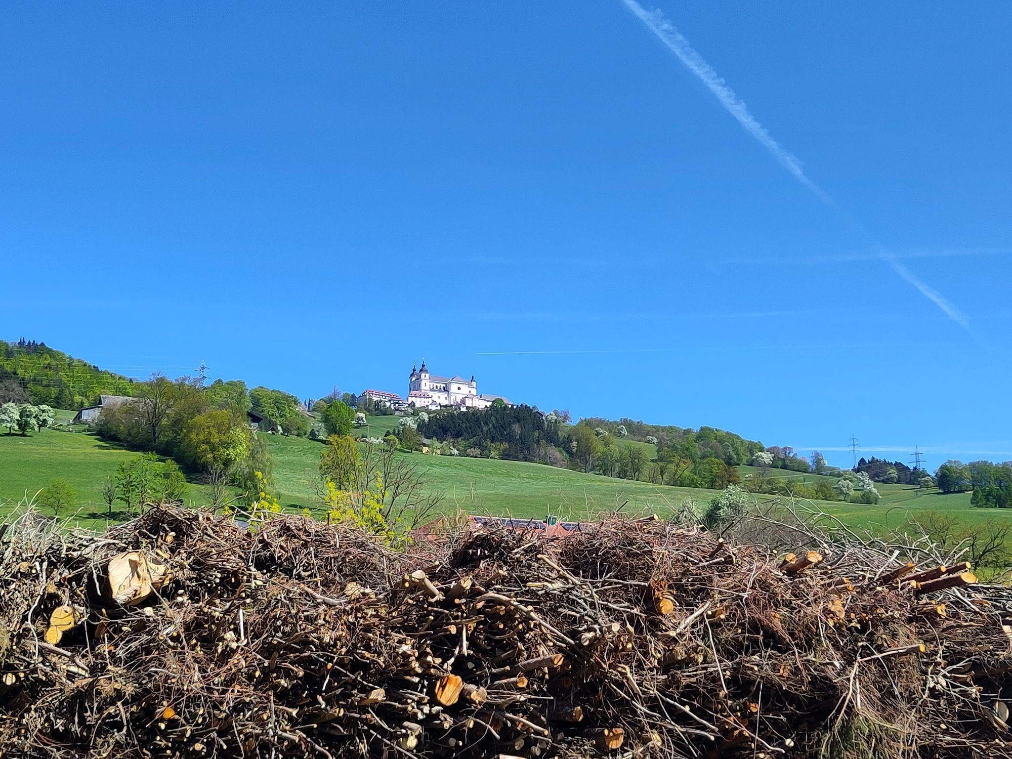
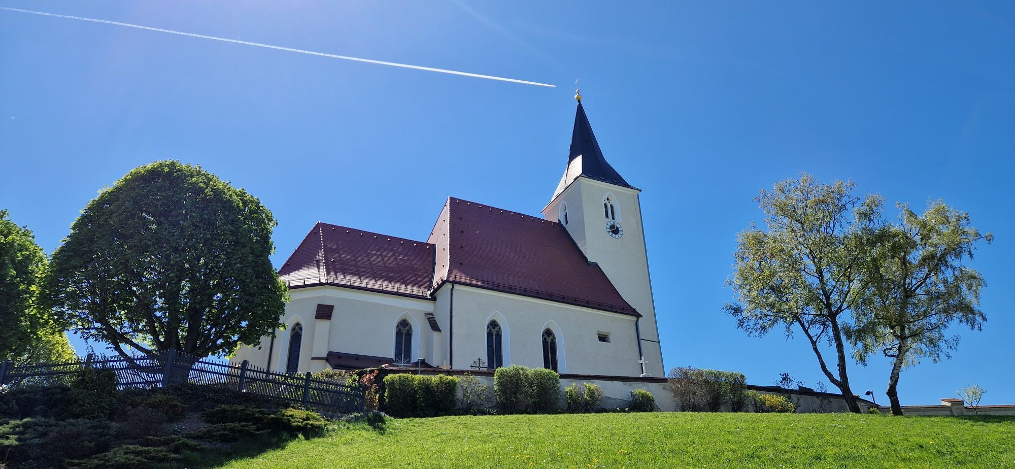
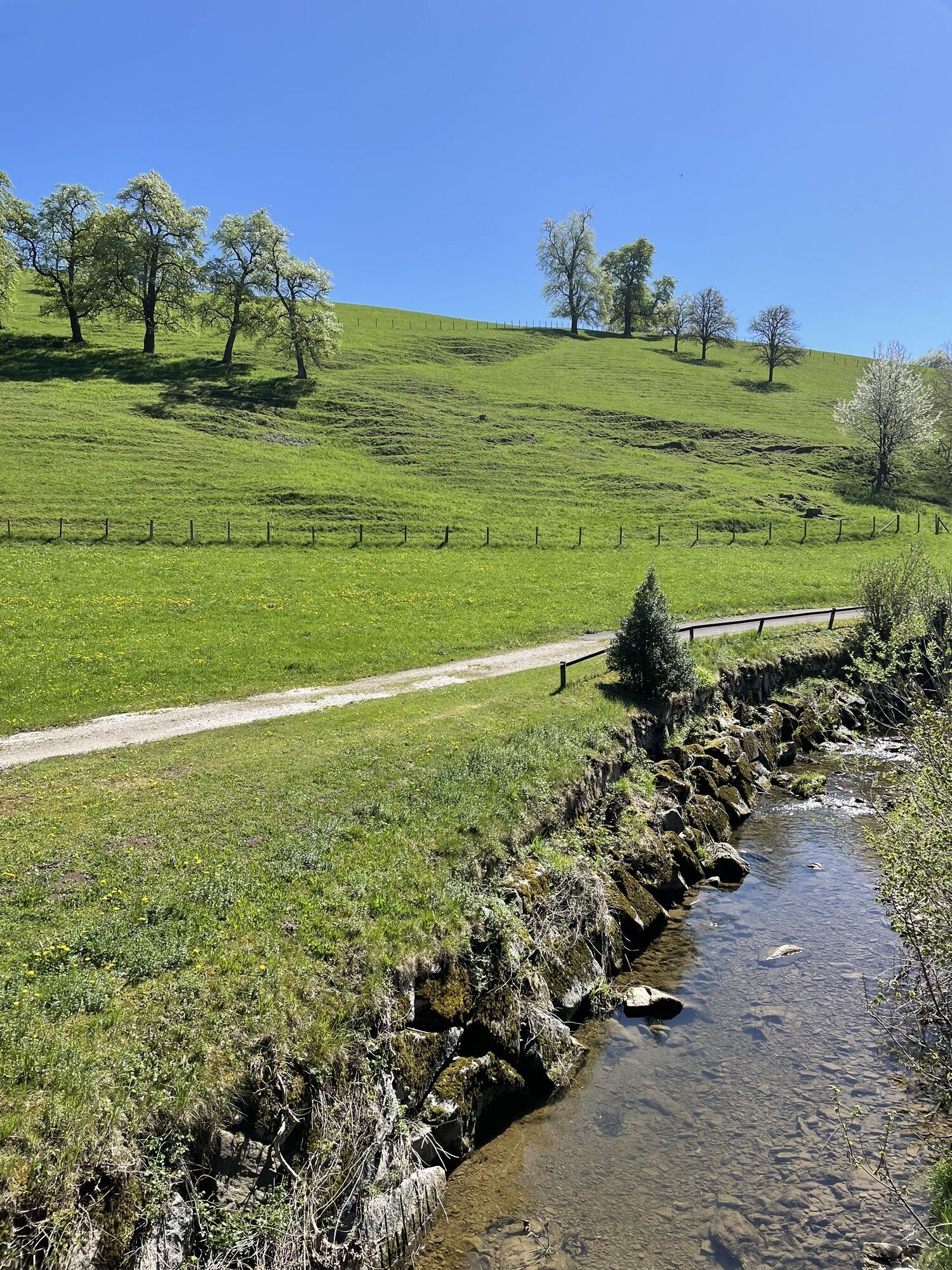
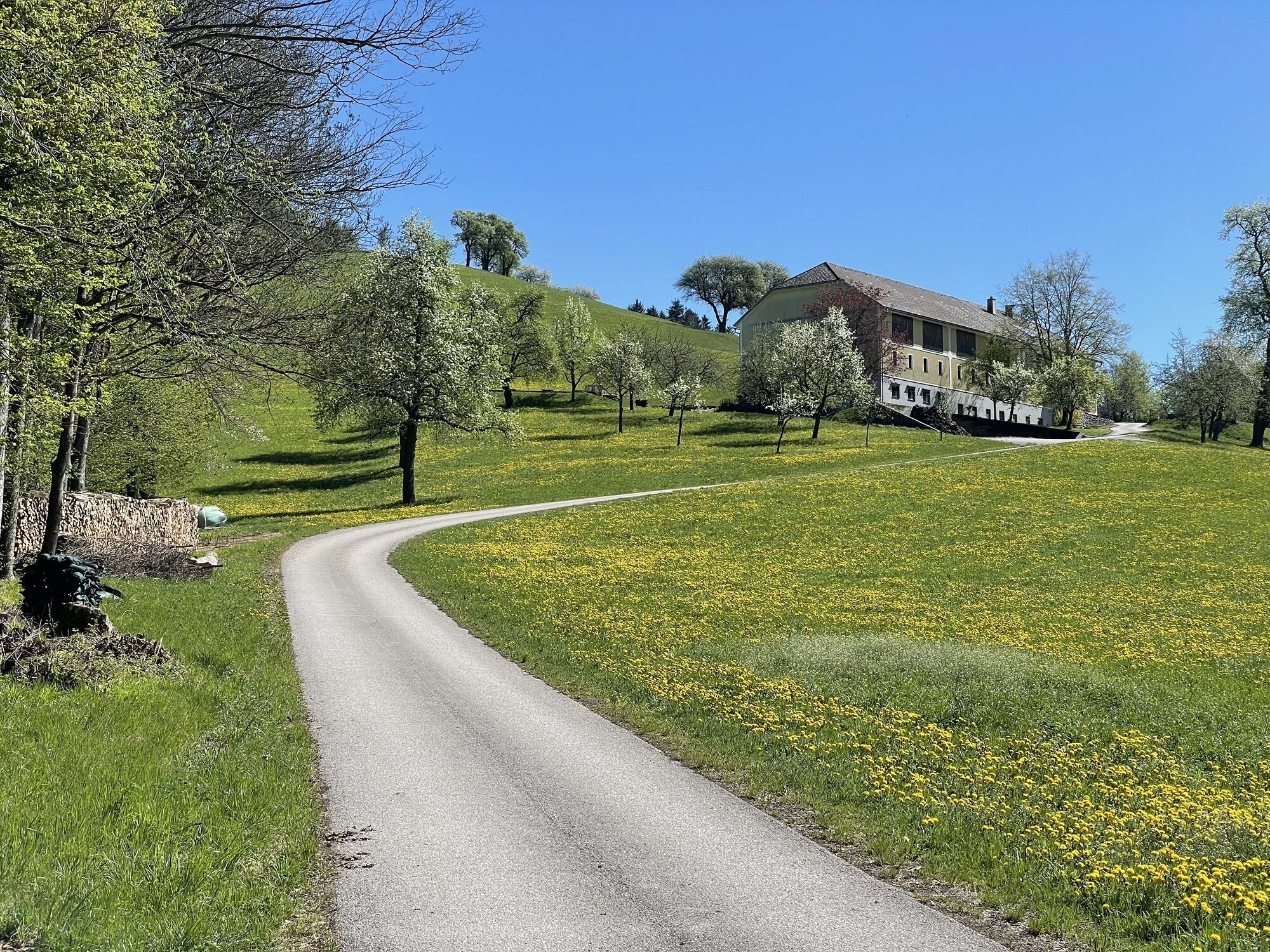
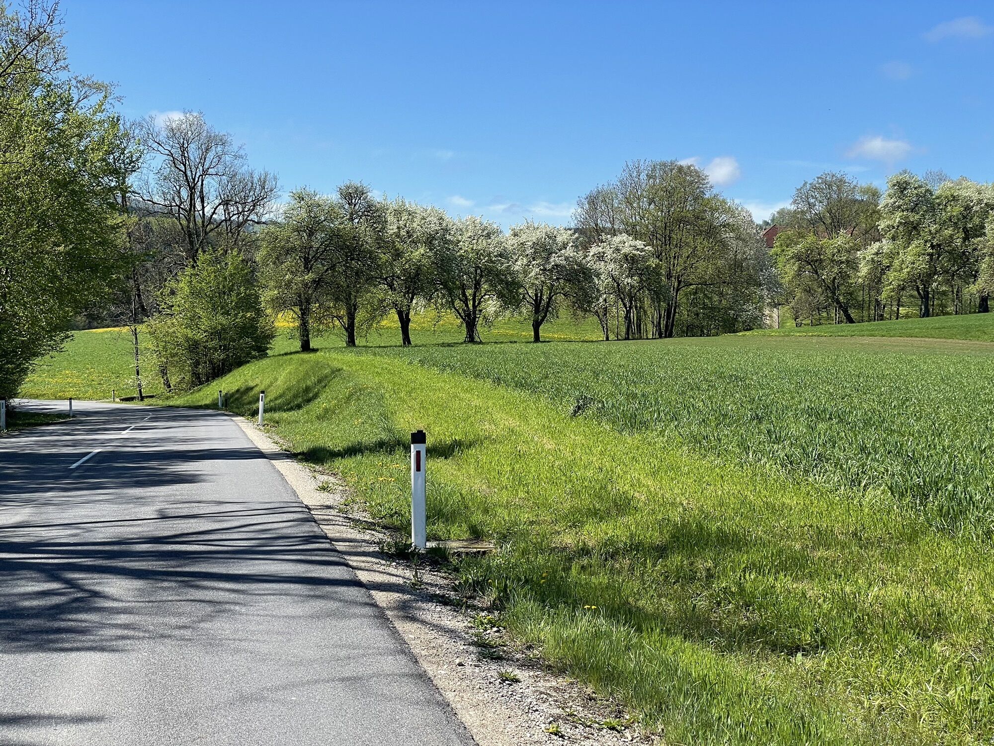
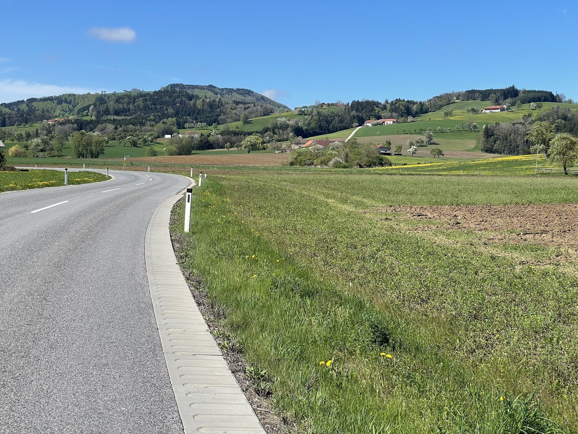
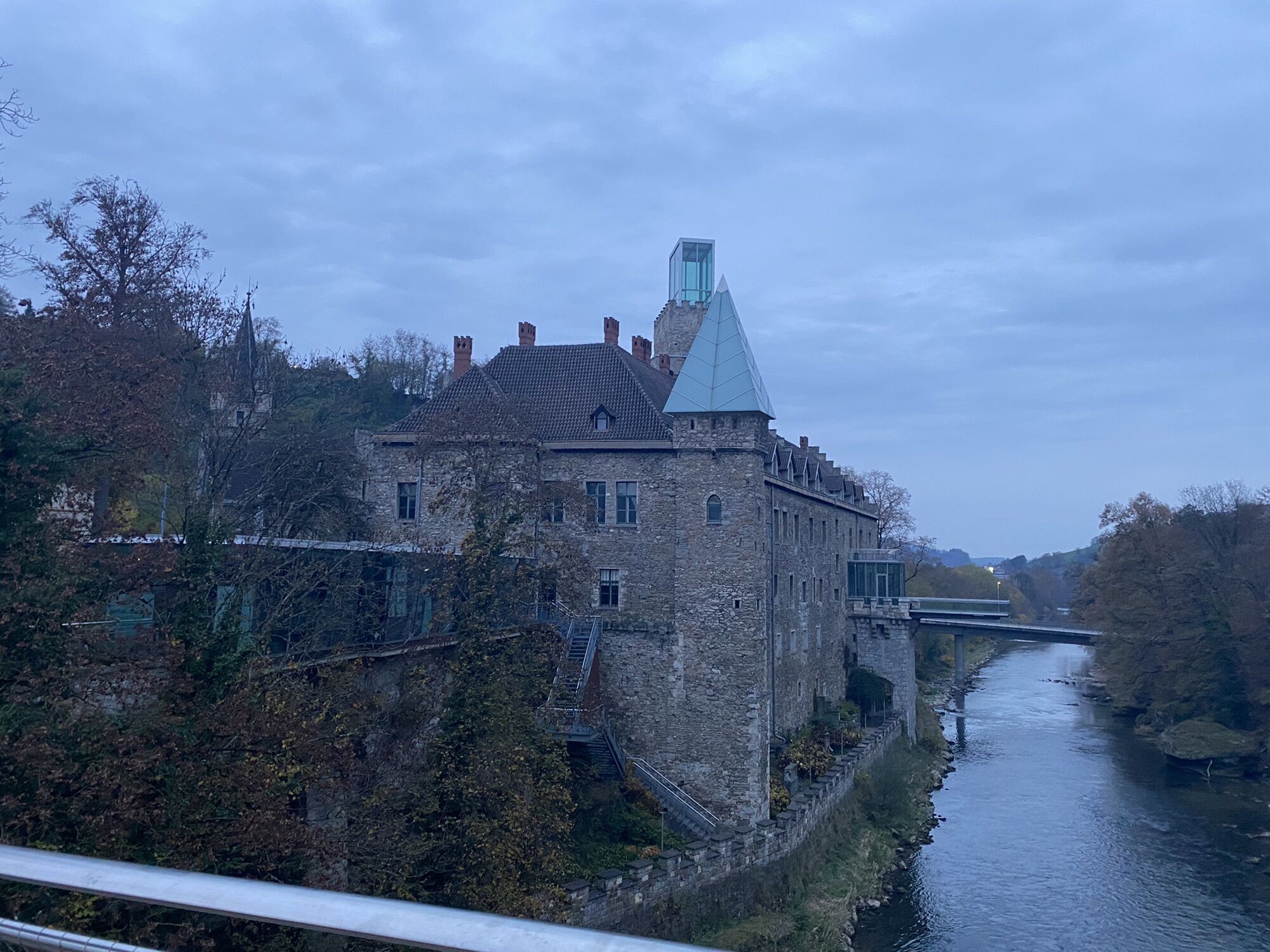
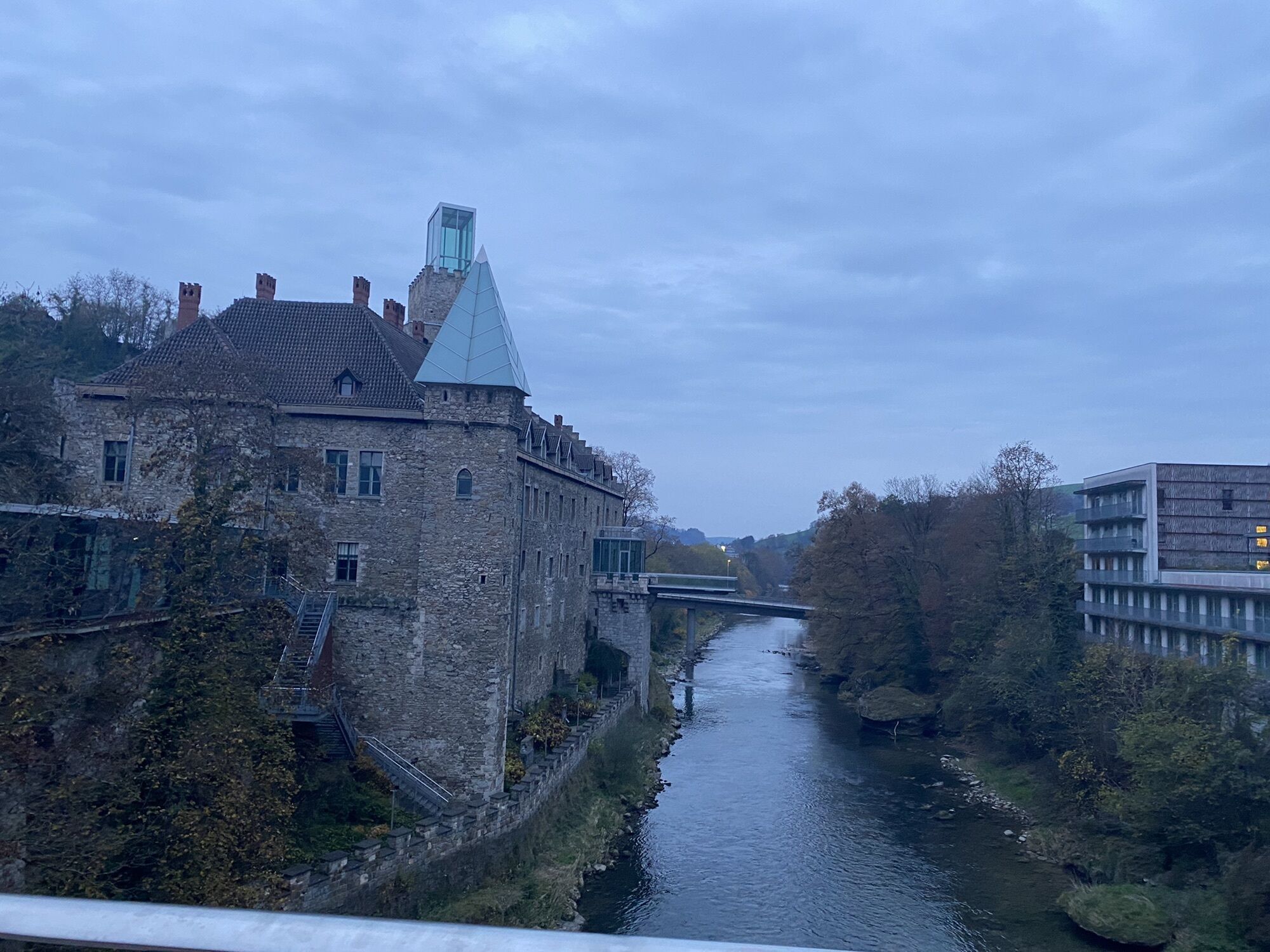
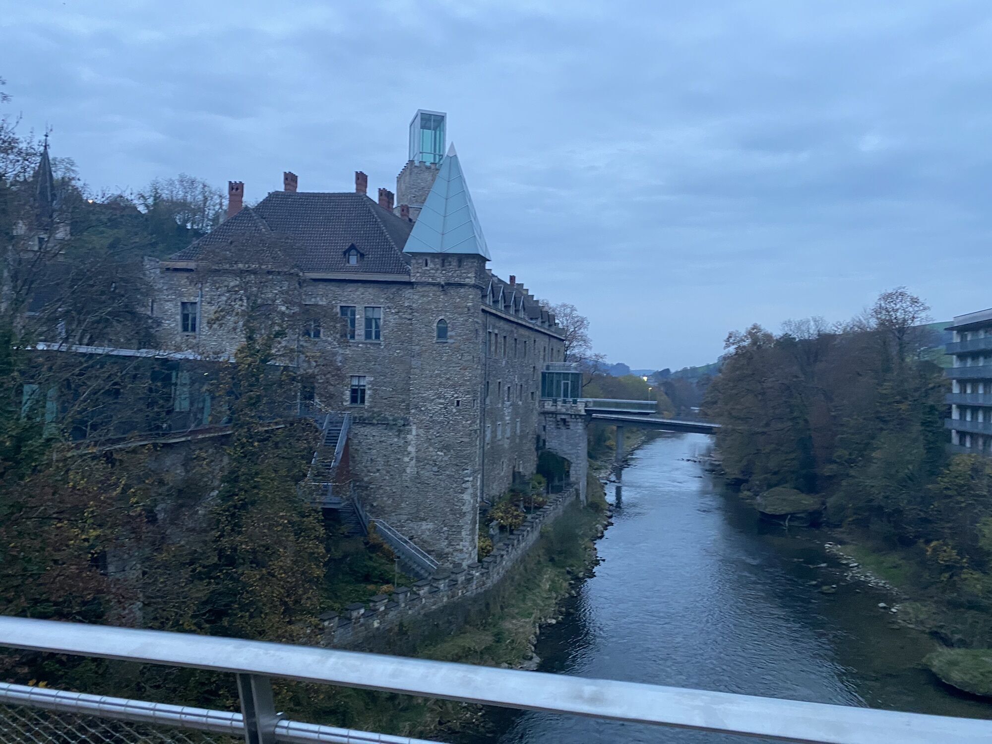
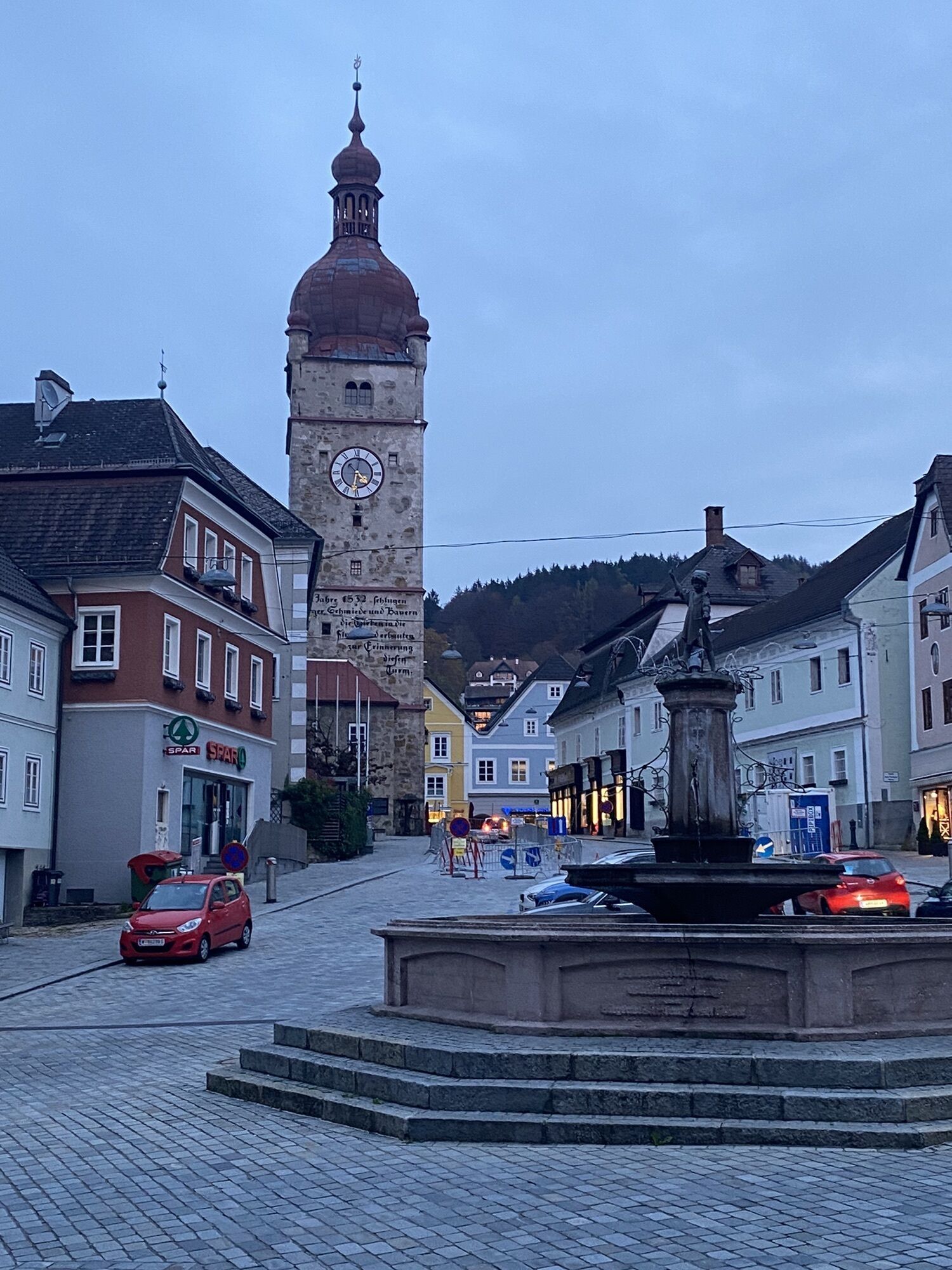
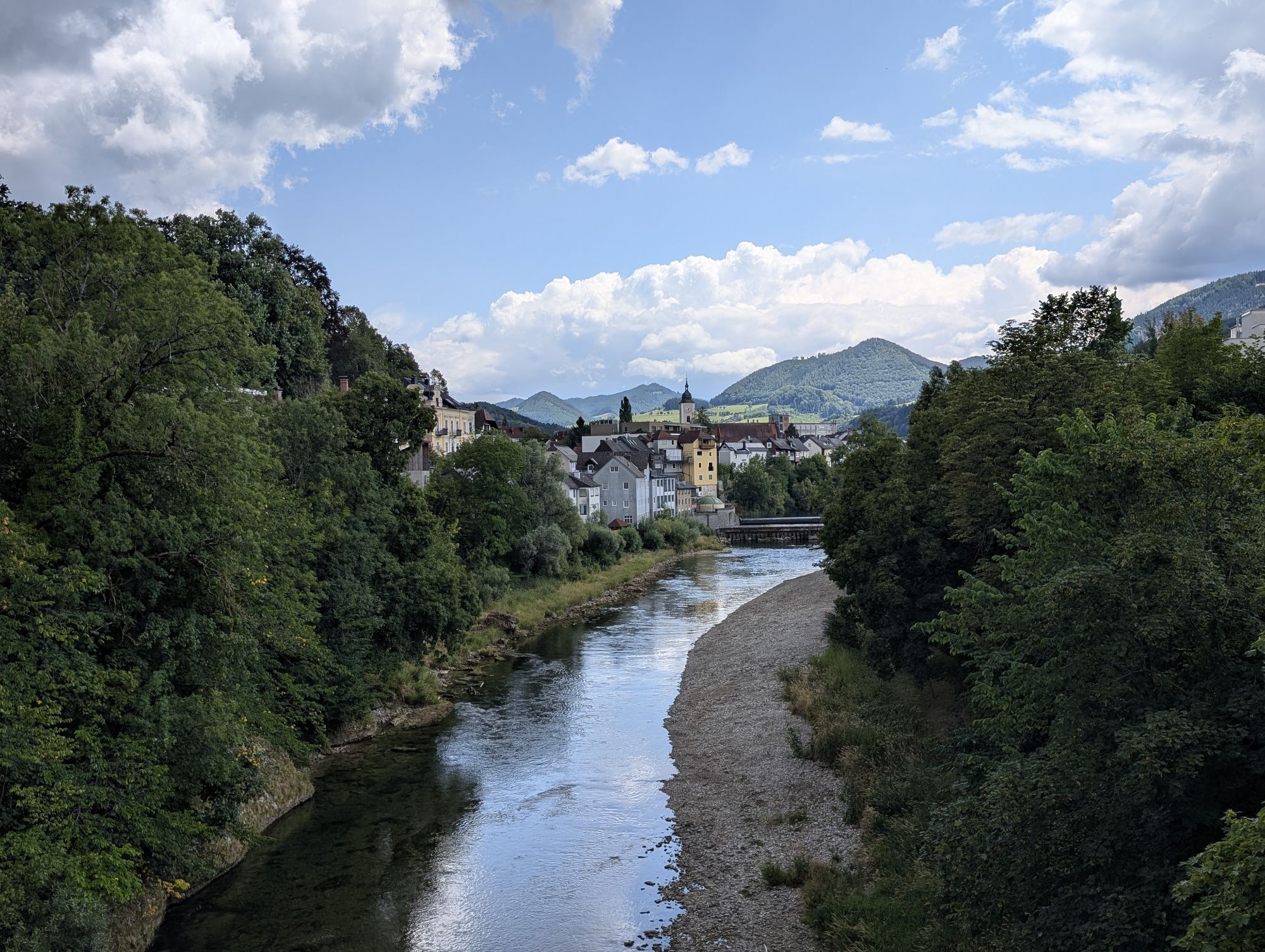
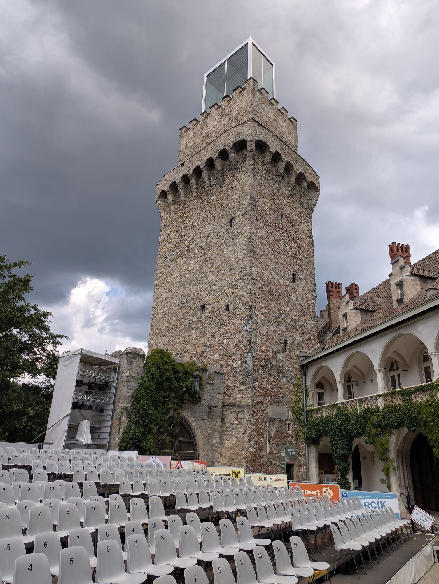
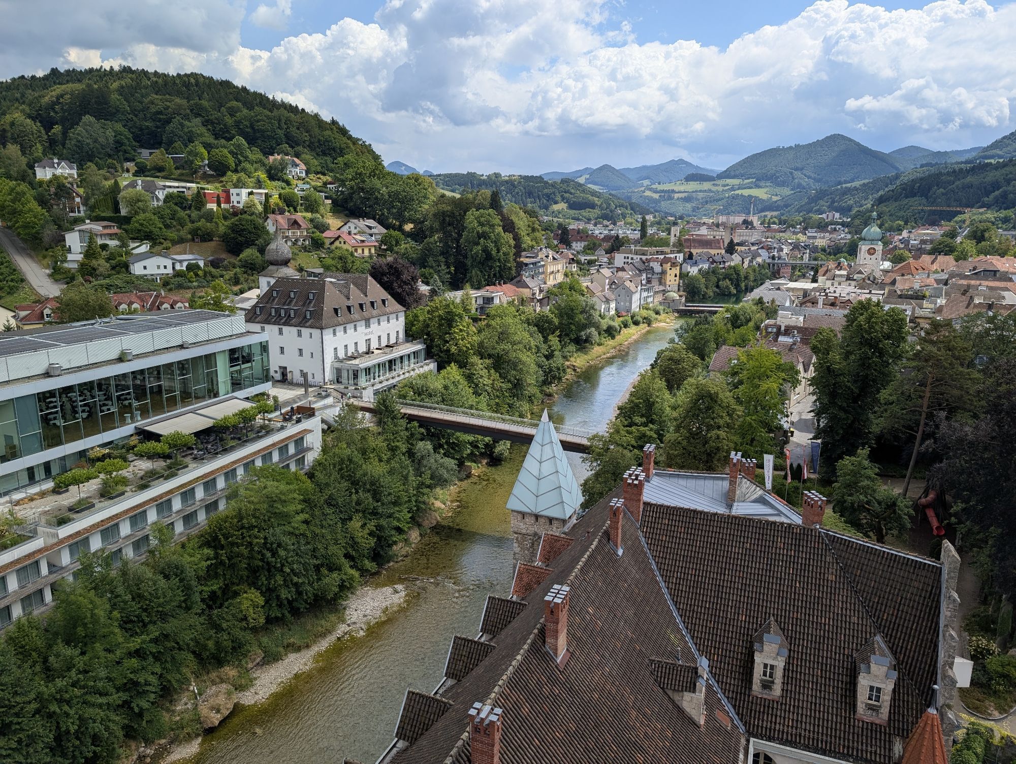
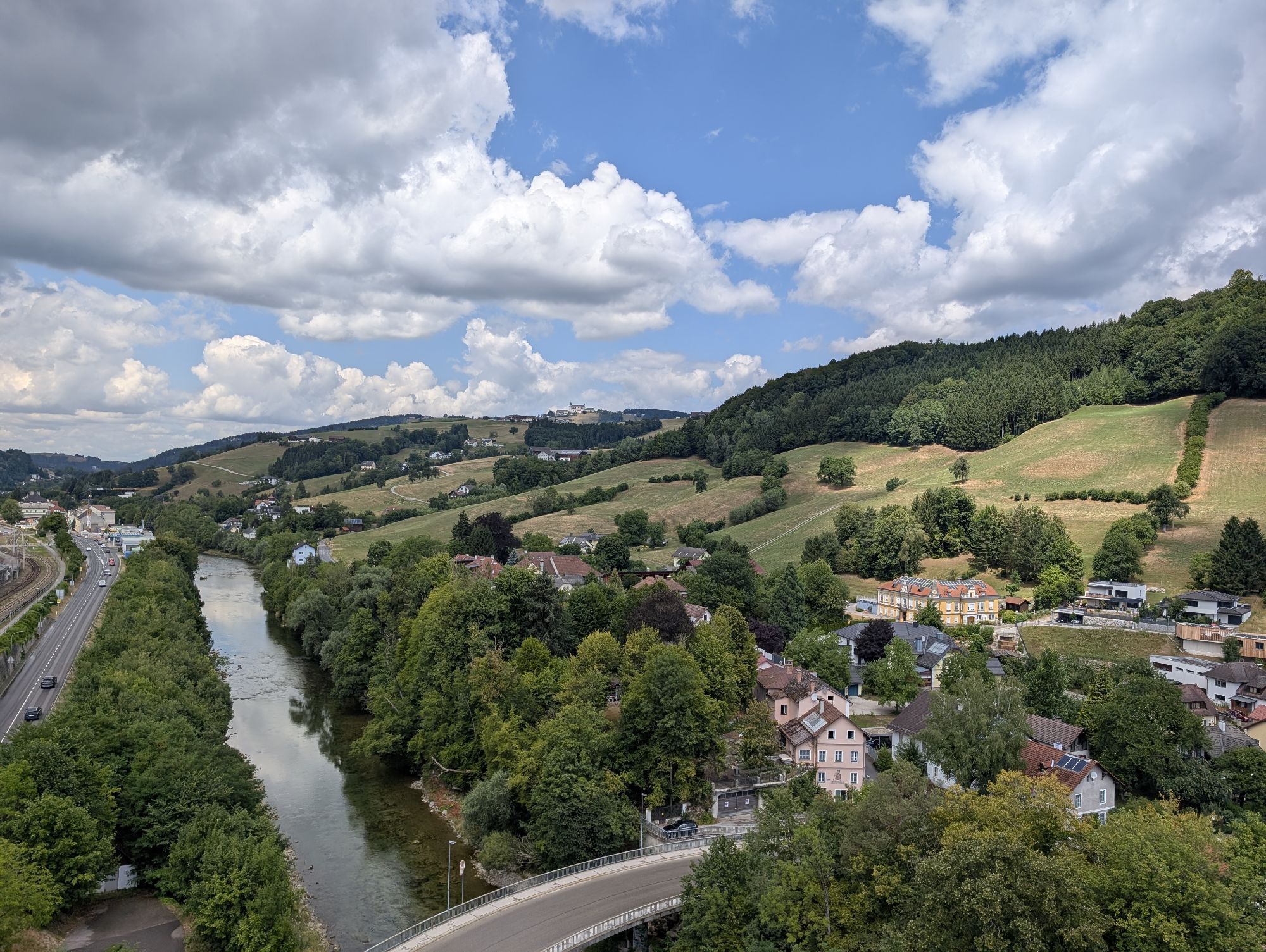
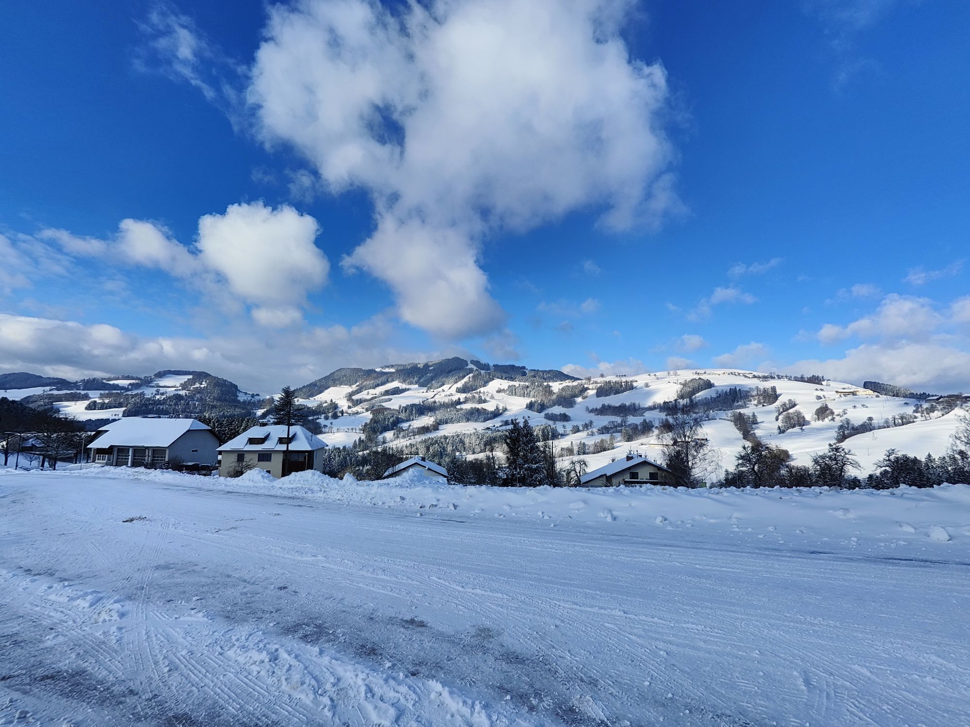
The first 10 km lead through the Redtenbach valley up to the Kreuzgruber Höhe. A fast descent is soon followed by the second ascent to the tranquil pilgrimage village of Maria Neustift. The route continues...
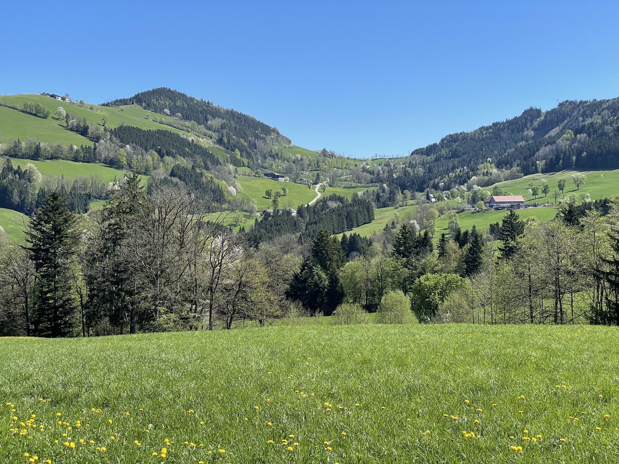
The first 10 km lead through the Redtenbach valley up to the Kreuzgruber Höhe. A fast descent is soon followed by the second ascent to the tranquil pilgrimage village of Maria Neustift. The route continues downhill through the Ramingtal valley towards Steyr before turning right and taking a fairly steep climb into the Urltal valley, where a few flat kilometers allow your legs to recover a little.
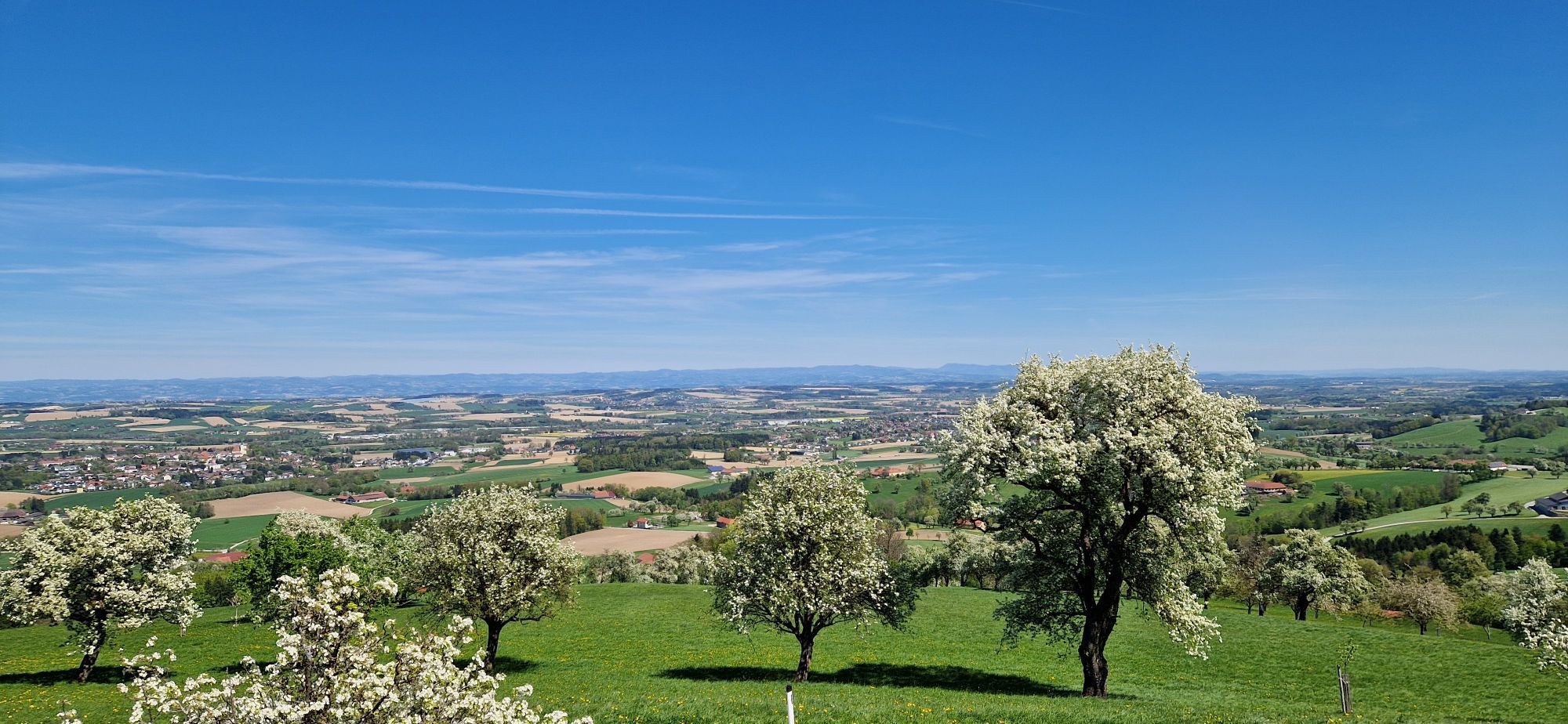
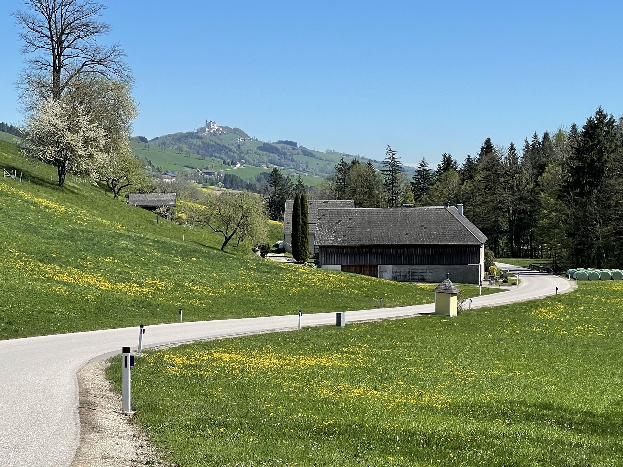
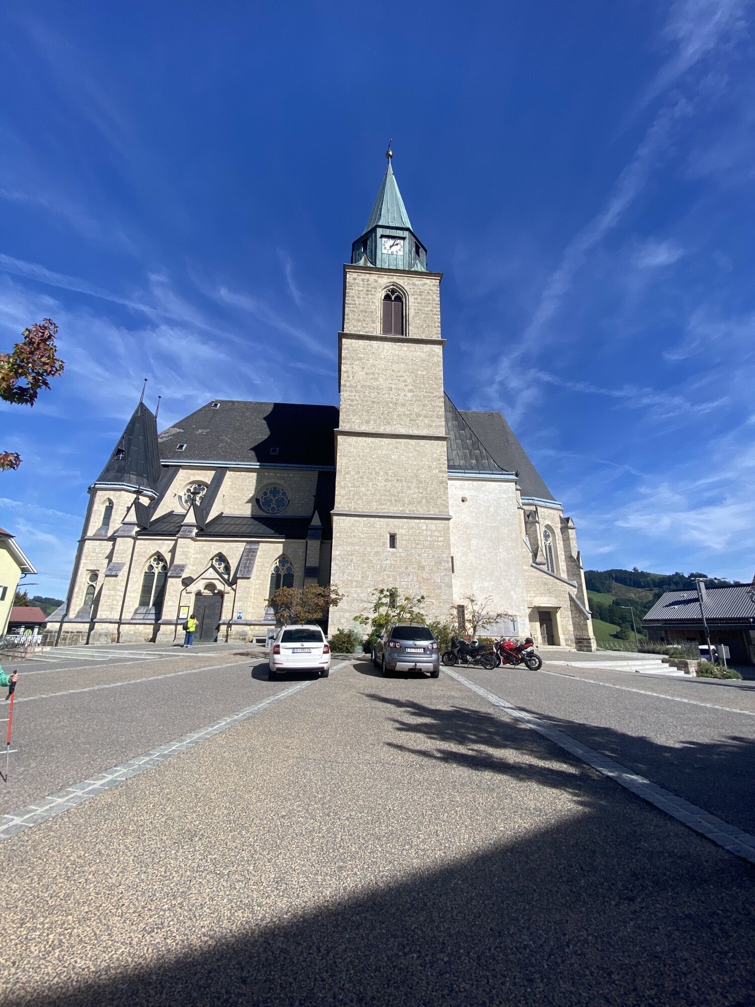
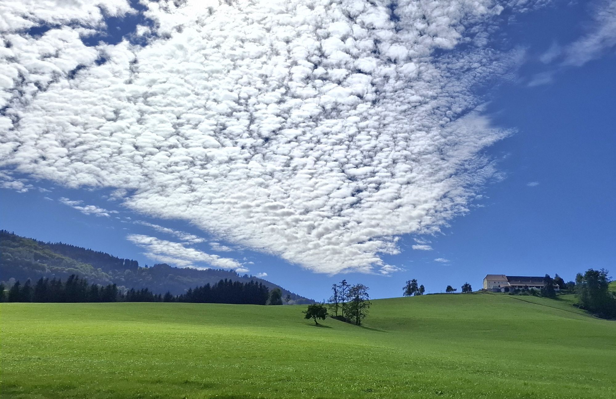
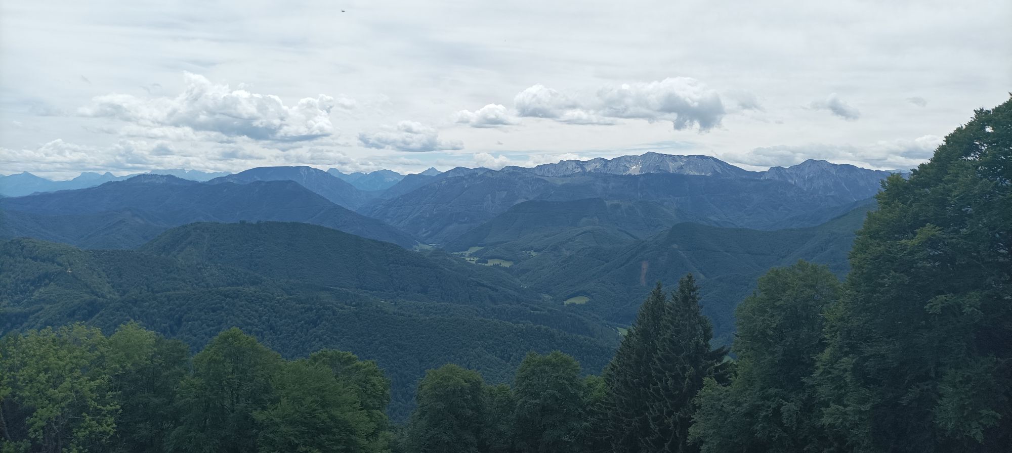
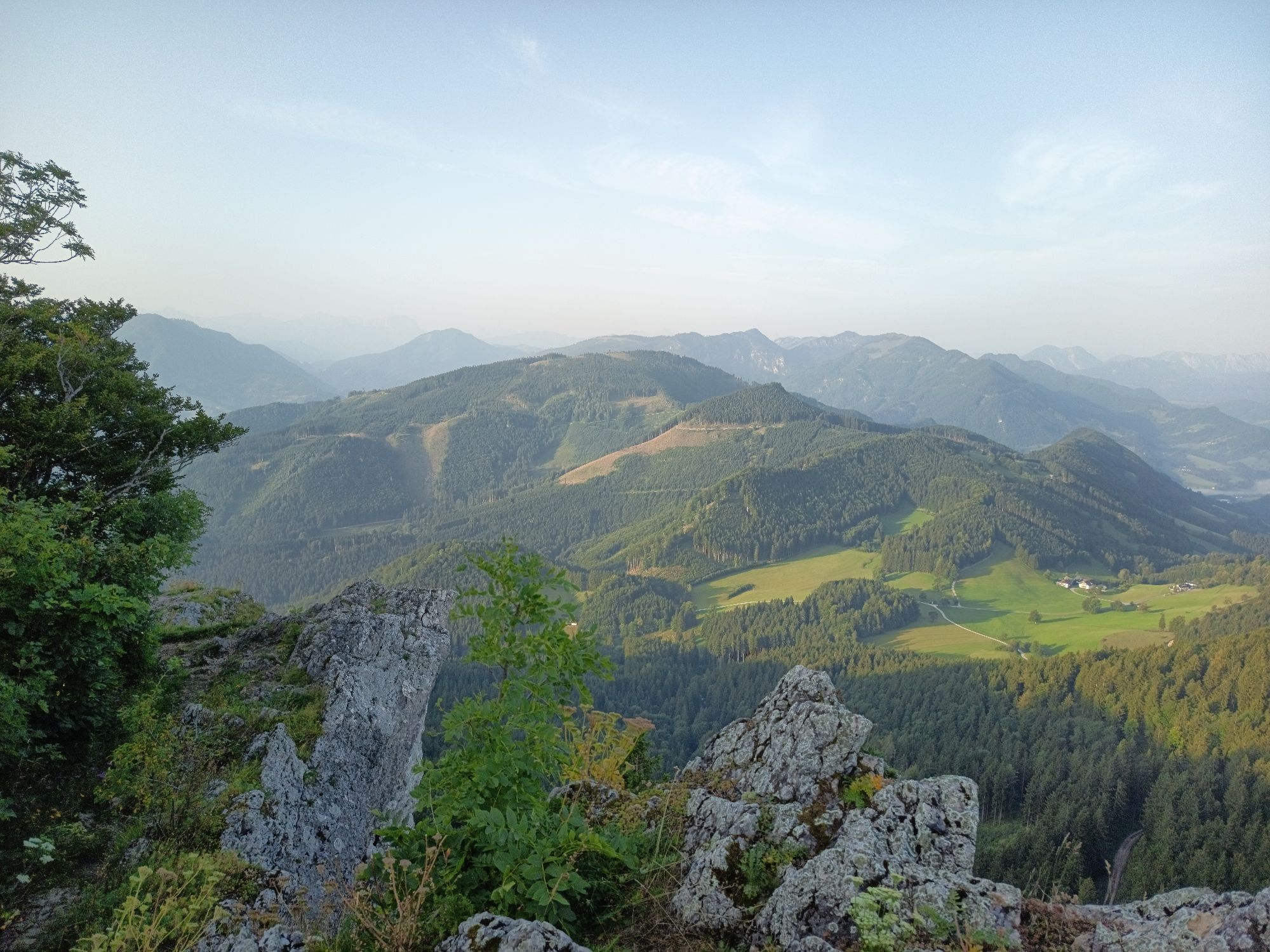
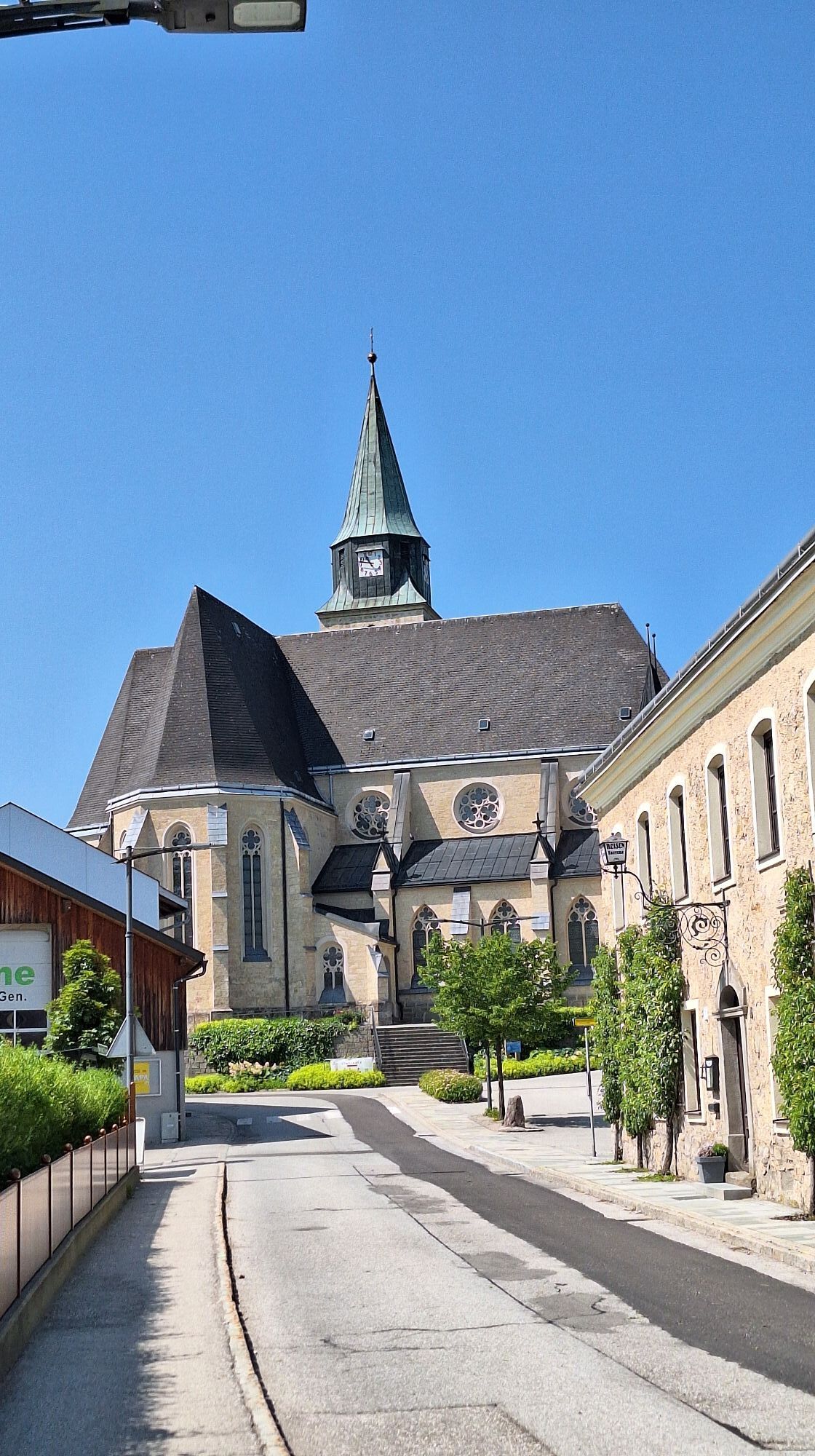
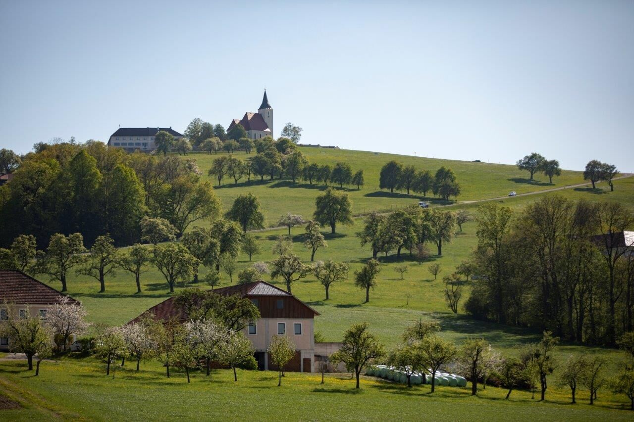
Soon, however, you turn right again and see the church of St. Michael am Bruckbach above you. The grassy mountain rears up in front of you like a gentle giant and the road quickly climbs to a gradient of over 12%. As on Mont Ventoux in Provence, the mountain can be very demanding when free of trees. The effort is worth it - at the top you are rewarded with a fabulous view over the Mostviertel, especially the Moststraße.
The route continues along the ridge until the descent down into the Urltal valley and you roll back to Waidhofen via Ertl and a final short snapper.


easy translation, partly very steep ascents and fast descents
A1 motorway exit Amstetten West, B121 Ybbstal federal road 25km to Waidhofen/Ybbs.
ÖBB from Amstetten to the main station Waidhofen/Ybbs.
Parking garage Schlosscenter, directly opposite Parkbad/Schlosshotel
Discover the circular hiking route "Heart of the Mostviertel" around St. Michael.
Webové kamery z prehliadky

Obľúbené výlety v okolí
-
4,9
Dambergwarte
svetloTuristika 3,28 km -
4,8
Steinerner Jäger (1185m) und Schieferstein (1206m) ab Parkplatz Hochhabichler
strednáTuristika 4,46 km -
4,7
Steinerner Jäger (1185m) und Schieferstein (1206m) ab Parkplatz Hack
ťažkéTuristika 8,58 km -
4,4
Kleine Gipfelrunde Glasenberg
svetloTuristika 4,99 km -
4,3
Freithofberg
strednáTuristika 9,15 km -
4,6
Lindaumauer, Maria Neustift
strednáTuristika 5,53 km -
3,9
Lindaumauer (1103 m)
Turistika 3,40 km -
4,4
Sebaldusweg stage 2 of 4 | Laussa - Maria Neustift
strednáPútnická trasa 20,9 km -
4,4
Hölleiten Wasserfall Rundwanderweg
svetloTuristika 13,3 km -
4,5
Sebaldusweg stage 3 of 4 | Maria Neustift - Gaflenz
strednáPútnická trasa 20,4 km

Turistika a stopovanie


Nenechajte si ujsť ponuky a inšpiráciu na ďalšiu dovolenku
Vaša e-mailová adresa bol pridaný do poštového zoznamu.





