






100 Ponds Tour Litschau

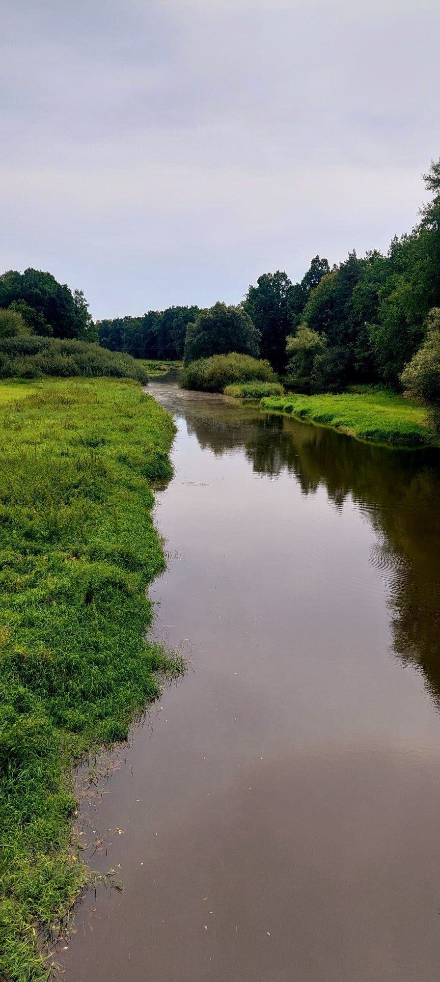
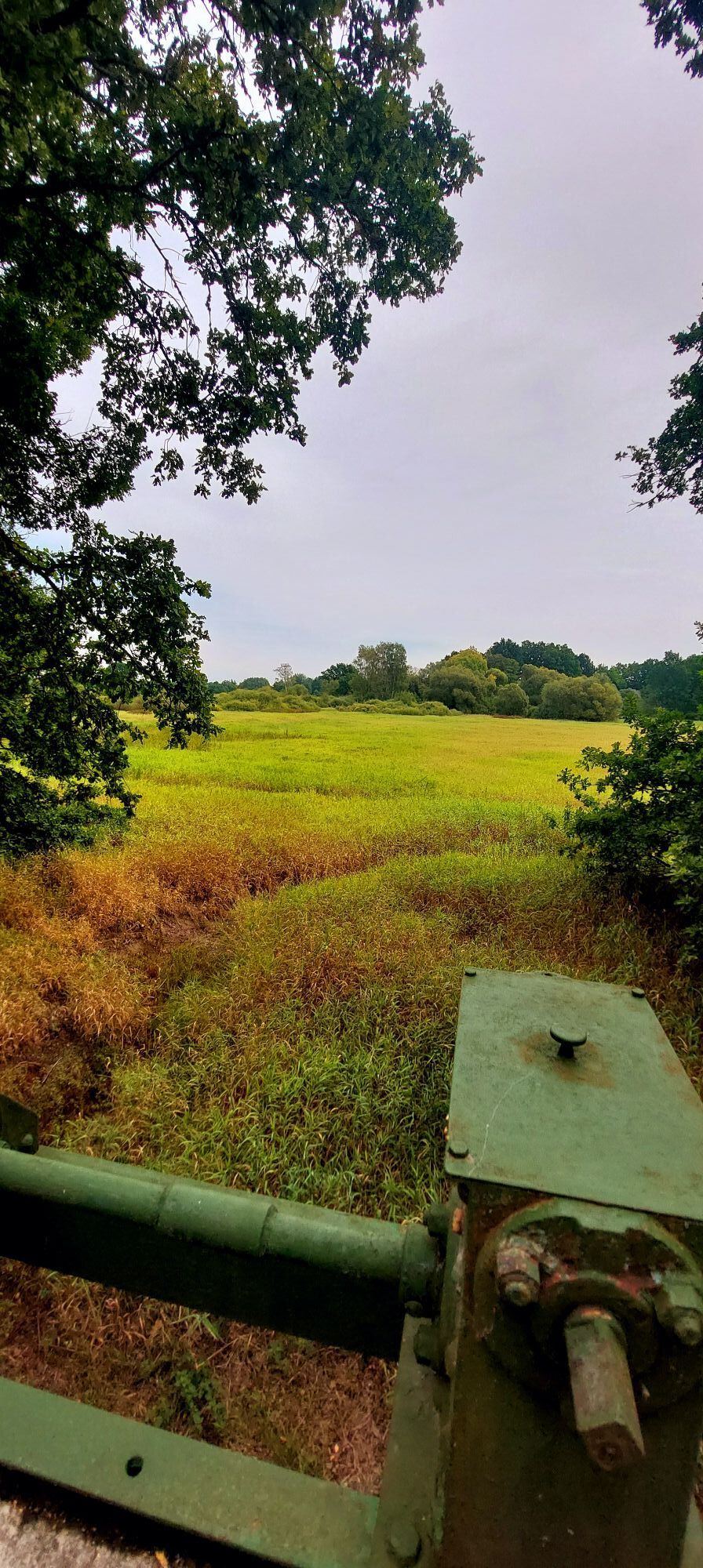

In the triangle of Gmünd, the climatic health resort of Litschau and the spa town of Trebon (CZ), excursionists have the opportunity to really enjoy historical cultural towns, castles and sights, natural...
<p>In the triangle of Gmünd, the climatic health resort of Litschau and the spa town of Trebon (CZ), excursionists have the opportunity to really enjoy historical cultural towns, castles and sights, natural areas and down-to-earth gastronomy.</p>

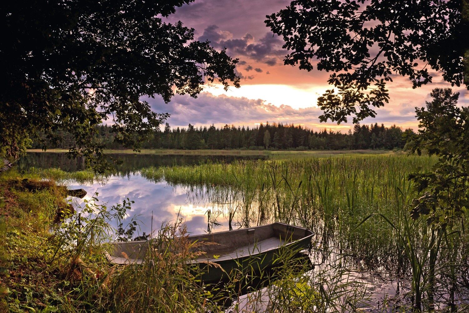

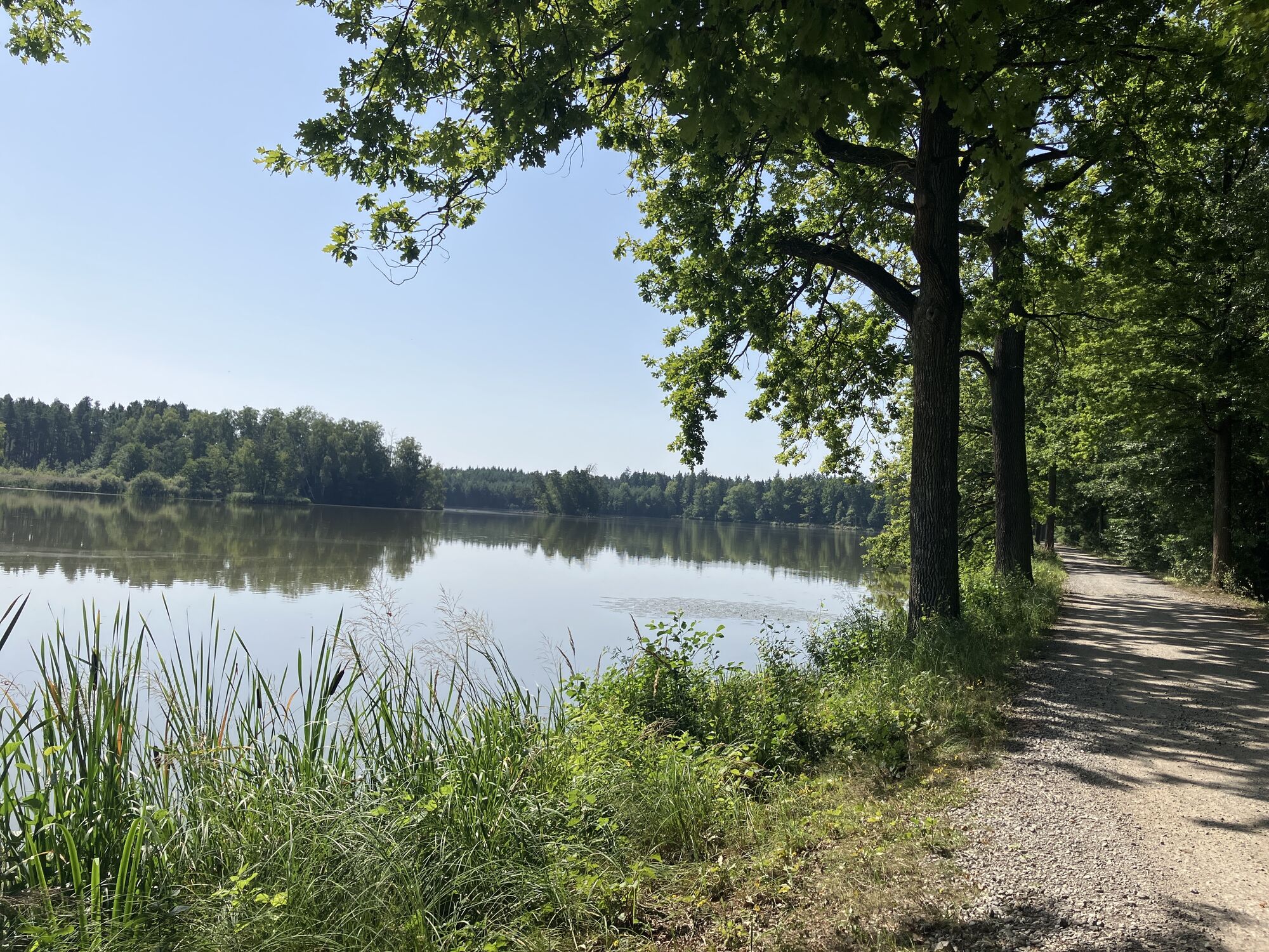
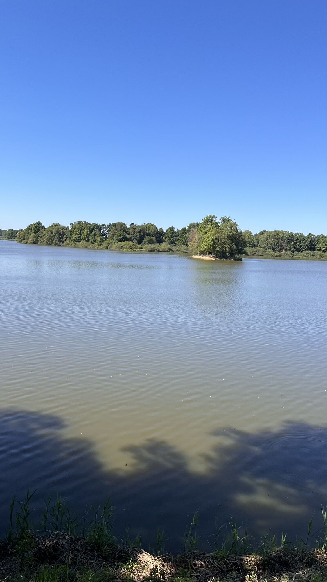
<p>The forests not only keep the wind out, but also provide shade. The majority of the route has been laid out on low-traffic freight and sand paths. The gently rolling Upper Waldviertel with the bordering South Bohemia and the huge pond plateau, declared a biosphere nature reserve by UNESCO, is a true cycling paradise for everyone. With a bit of luck, you might even come across a white-tailed eagle, otter or other animals in the wild. (1/2 day tour)
</p><p>The South Bohemian Pond Plateau is particularly family-friendly, as the route is very flat and sheltered from the wind by the forests.</p>
<p>Coming from St. Pölten take the S33 to Krems, continue on the B37 to Rastenfeld, B38 to Zierings, via Doellersheim and Allentsteig on the B5, B5 to Eisgarn, there turn left towards Litschau.
</p><p>Coming from Vienna A22 to exit Stockerau Nord, continue on B4 direction Horn, in Horn on B5, B5 to Eisgarn, then left direction Litschau.</p><p>Coming from the west A1 to exit A7 - A7 to Unterweitersdorf - on the S10 to exit Sandl - via B38 to Karlstift - continue on B41 to Schrems - at Schrems on B2 - then via Brand, Finsternau, Gopprechts and Schönau to Litschau.</p>
<p>Park & Ride facility at the bus station</p>
Waldviertel Tourism
3910 Zwettl, Sparkassenplatz 1/2/2
(T) +43 0822 54109
(E) info@waldviertel.at
(I) www.waldviertel.at
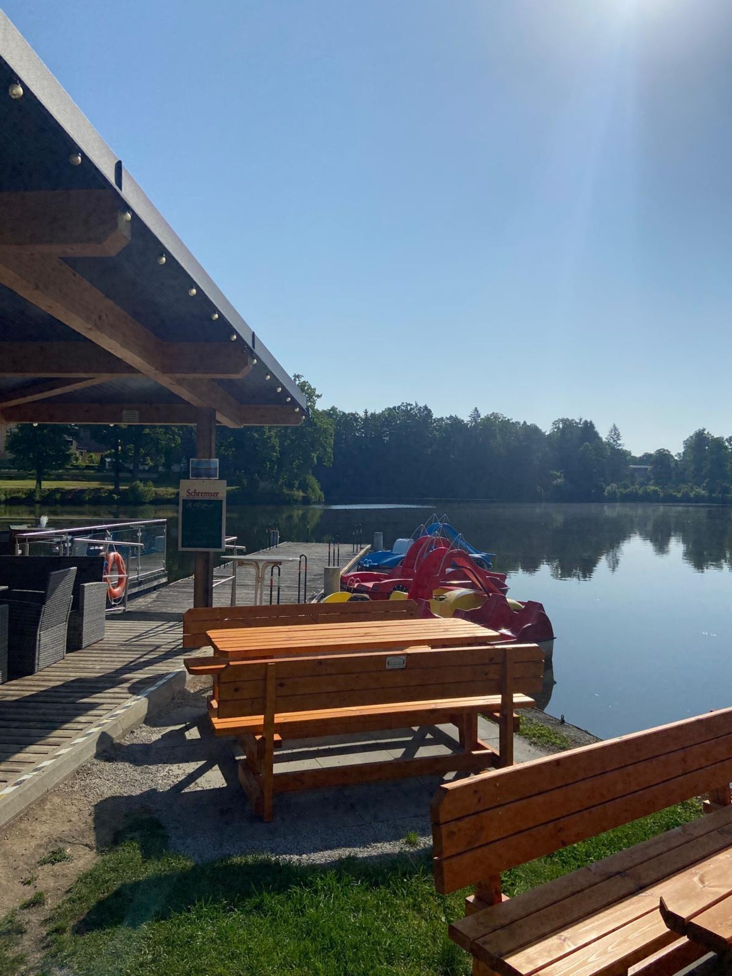
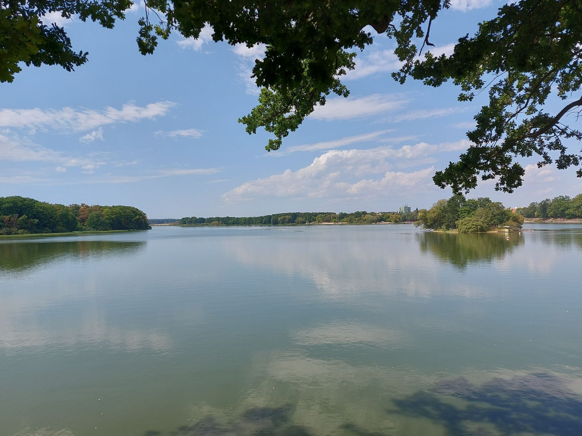
There are numerous opportunities to cool off in the water along the circuit.


Obľúbené výlety v okolí
-
4,2
100 Ponds Tour Litschau
strednáCyklistika 72,4 km -
Okolo jihočeských rybníků
svetloTuristika 5,58 km -
Lainsitz/Lusnice 2 - Von Majdalena nach Stribecky most
svetloKajak / Kanu 10,4 km -
Lomnice nad Lužnicí - Vlkov a zpět
svetloMountainbike 16,6 km -
Wittingau, Bezirk Neuhaus/Tschechien
Cyklistika 59,2 km -
Trebon Gehen
Prechádzka 3,32 km -
Okolo jihočeských rybníků II.
strednáMountainbike 38,1 km -
České Budějovice - Kantorova hora - Obětování Panny Marie - České Budějovice 1
strednáCyklistika 61,5 km -
České Budějovice 1 - Obětování Panny Marie - Na Vlčku - Veselí nad Lužnicí
strednáCyklistika 49,9 km -
České Budějovice - Hlincová hora - svatý Václav - Na Vlčku
strednáMountainbike 69,6 km
Turistika a stopovanie


Nenechajte si ujsť ponuky a inšpiráciu na ďalšiu dovolenku
Vaša e-mailová adresa bol pridaný do poštového zoznamu.





