Navigácia na stránke
Získajte túto prehliadku v mobilnom telefóne
Mapa
Cycle route 7 (Eggenburg - Dürnkrut)
svetlo
Cyklistika
116,85 km
Naskenujte kód QR a spustite navigáciu v aplikácii bergfex
QR Code
Turistika a stopovanie

Cycle route 7 (Eggenburg - Dürnkrut)
Vzdialenosť
116,8 km
Trvanie
08:12 h
Ascent
643 hm
Hladina mora
148 - 426 m
Stiahnutie skladby
Mapa
Cycle route 7 (Eggenburg - Dürnkrut)
svetlo
Cyklistika
116,85 km

Cycle route 7 starts at the train station in Eggenburg and continues into the beautiful wine region around Röschitz and Roseldorf. From there, you cross Sitzendorf an der Schmida and travel north past...

Opis

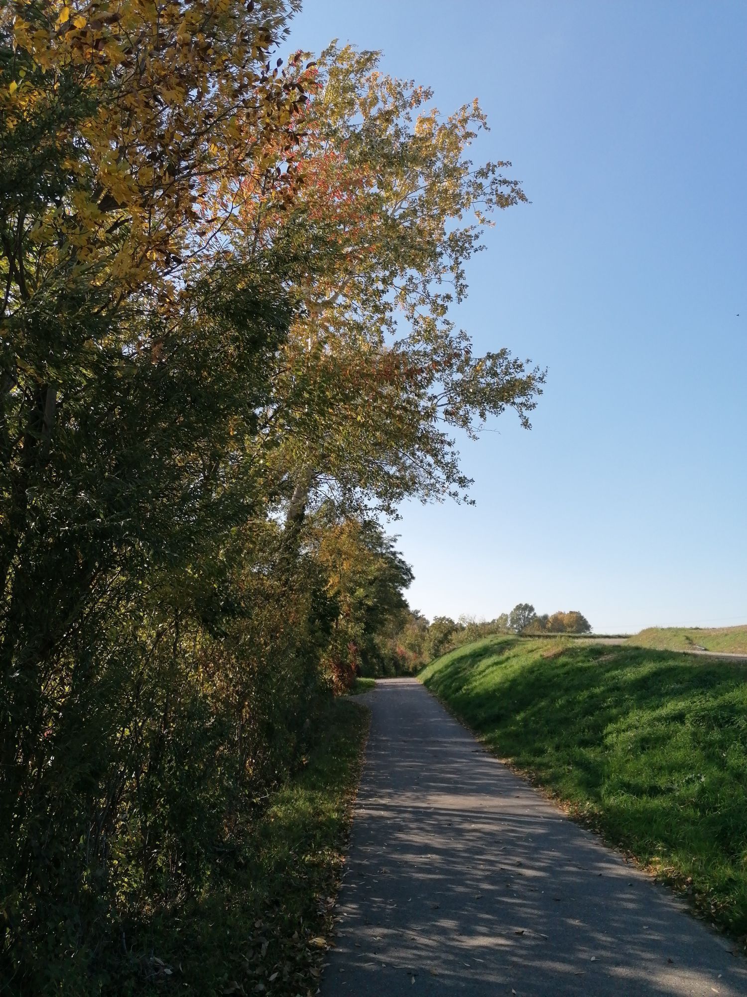
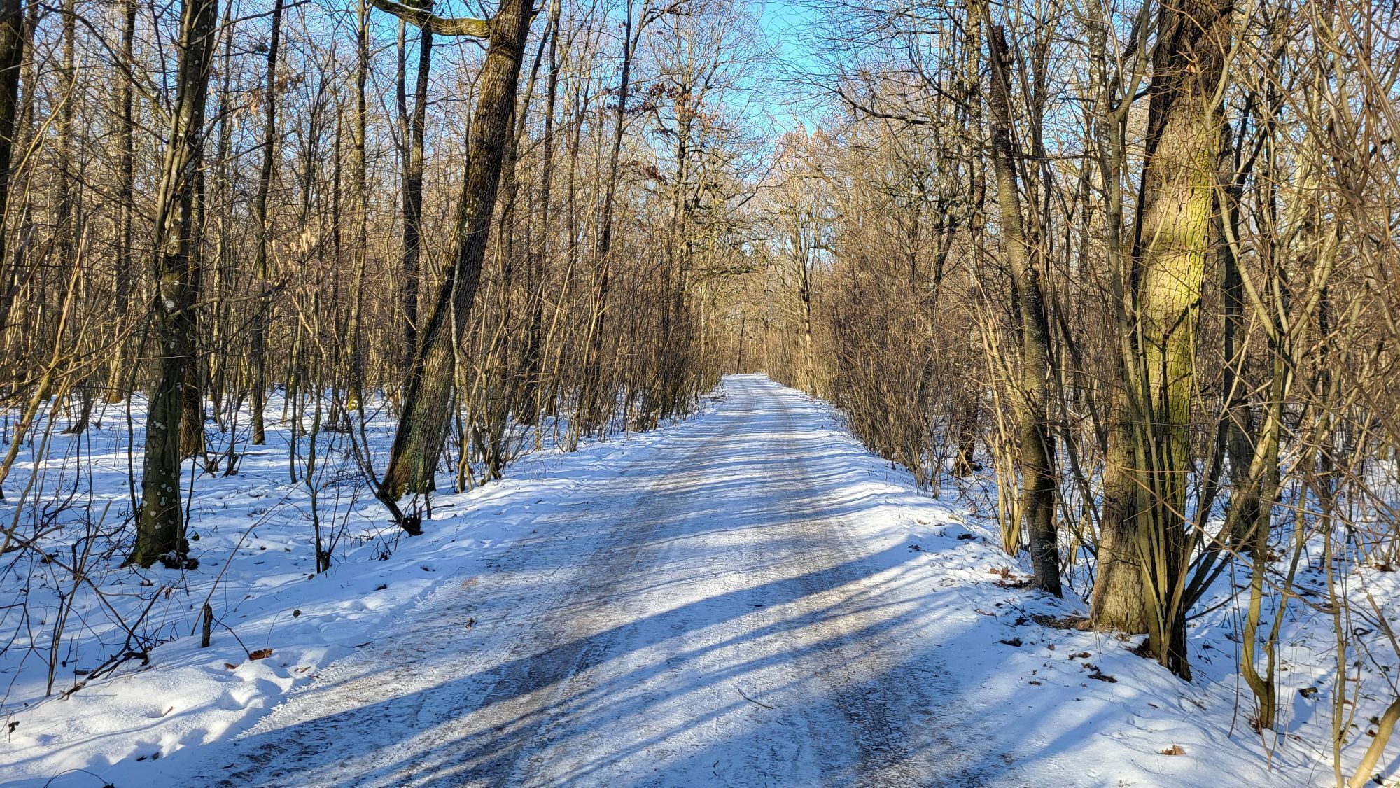
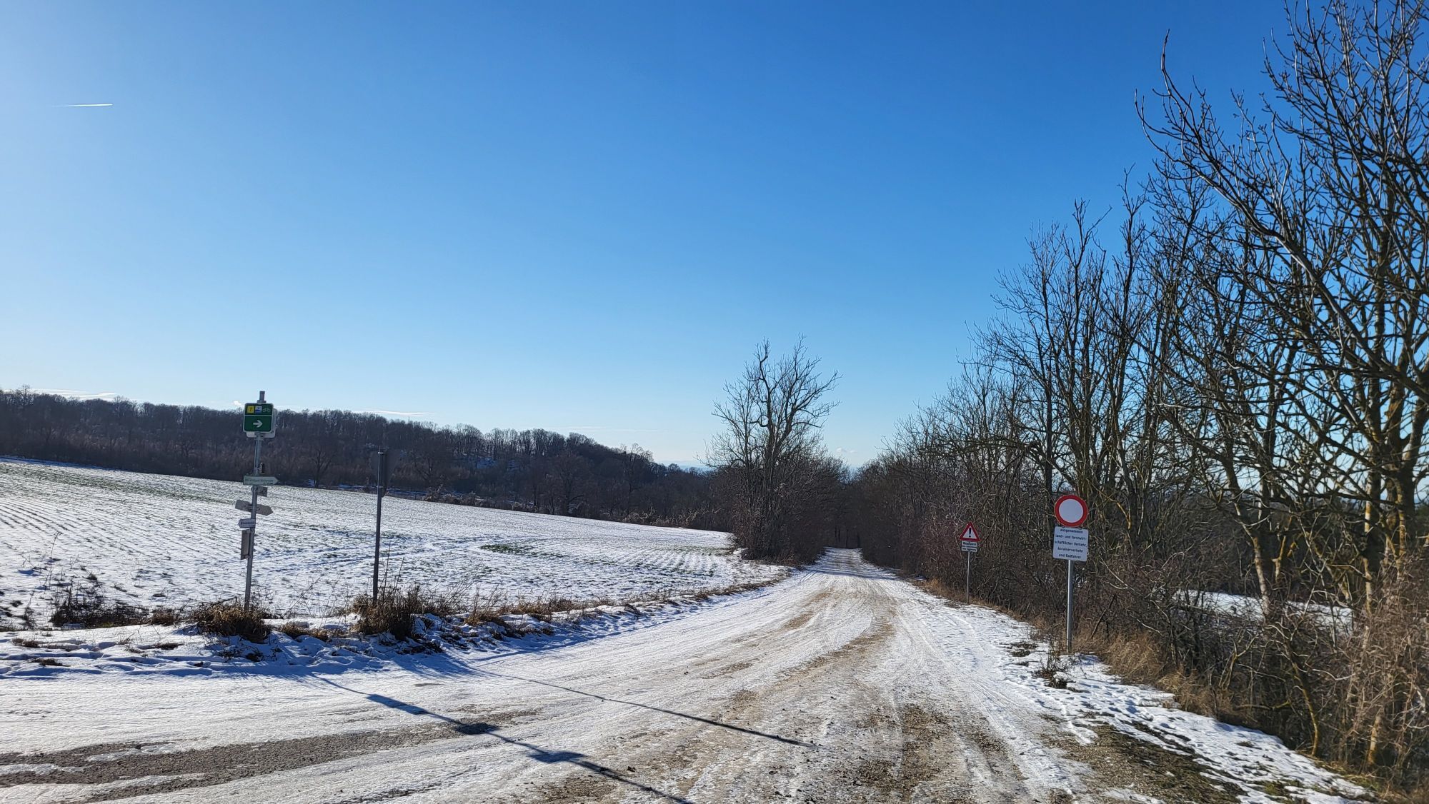
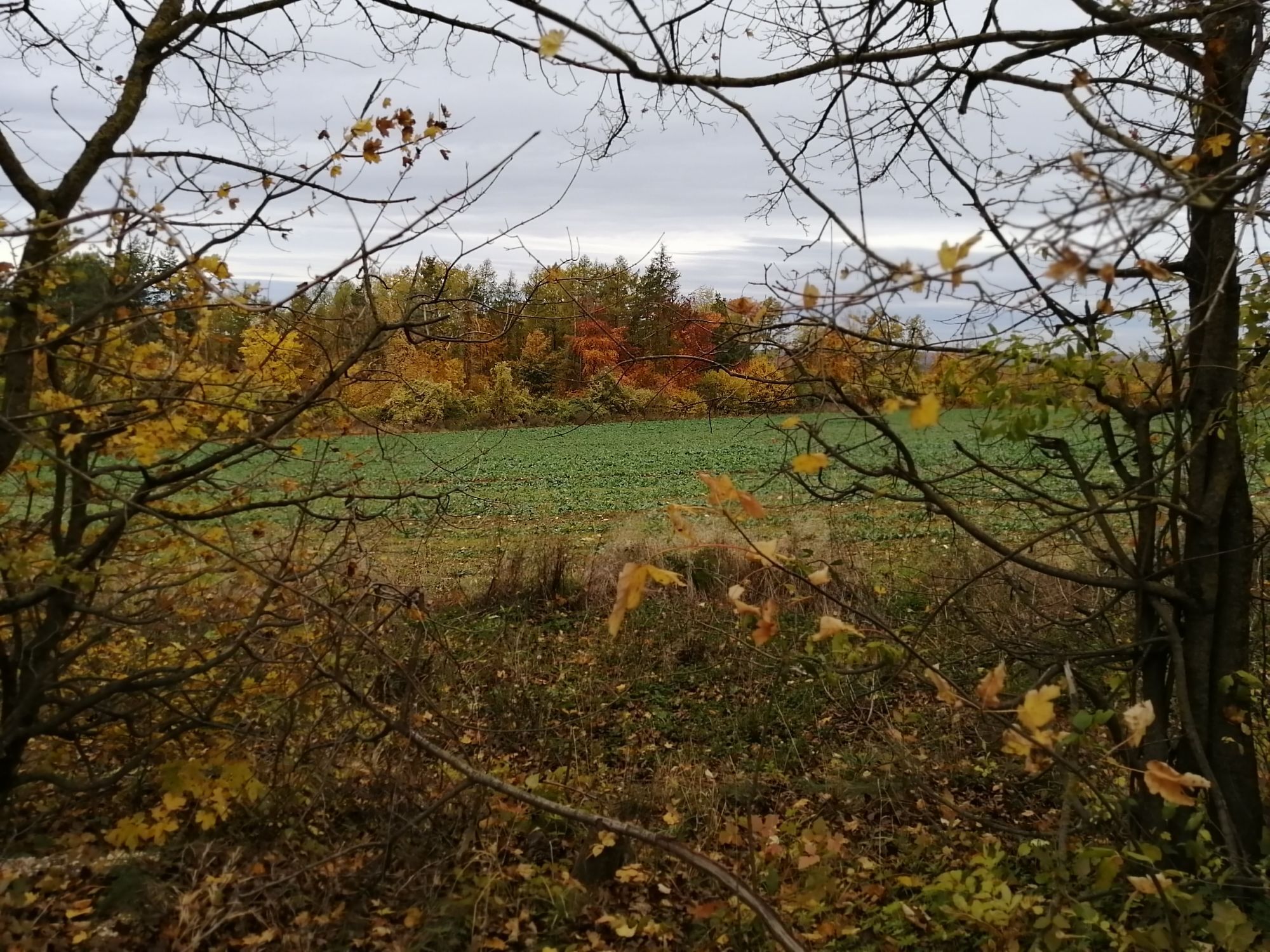
<p>Cycle route 7 starts at the train station in Eggenburg and continues into the beautiful wine region around Röschitz and Roseldorf. From there, you cross Sitzendorf an der Schmida and travel north past Hollabrunn through Schöngrabern. After passing Eggendorf and Enzersdorf im Thale, you cross the large forest area of the Leiser Mountains and arrive at Ernstbrunn. From there, the route continues via Ladendorf to Gaweinstal. In Hohenruppersdorf, you can still plan a visit to a Heuriger before reaching the endpoint of the tour, the beautiful March in Dürnkrut, via Velm-Götzendorf. </p>

Trasa
Mariae Geburt
(249 m)
Miesto uctievania
12,7 km
Goggendorf
(242 m)
Dedina
16,0 km
Schellenberg
(365 m)
Summit
48,8 km
St. Martin
(293 m)
Miesto uctievania
67,5 km
Pfarrkirche Gaweinstal
(199 m)
Miesto uctievania
91,1 km
Hl. Kreuz
(244 m)
Miesto uctievania
99,1 km
Cholerakapelle
(154 m)
Miesto uctievania
113,7 km
Trasa
Mapa
Cycle route 7 (Eggenburg - Dürnkrut)
svetlo
Cyklistika
116,85 km
Eggenburg
(353 m)
Železničná stanica
0,0 km
Martinskapelle
(324 m)
Miesto uctievania
0,7 km
Eggenburg
(325 m)
Mesto
0,8 km
Stoitzendorf
(270 m)
Dedina
6,2 km
Mariae Geburt
(249 m)
Miesto uctievania
12,7 km
Roseldorf
(249 m)
Dedina
12,9 km
Pfannhauser
(251 m)
Reštaurácia
13,0 km
Braunsdorf
(248 m)
Dedina
14,0 km
Goggendorf
(242 m)
Dedina
16,0 km
Sitzendorf an der Schmida
(239 m)
Dedina
18,6 km
Pranhartsberg
(286 m)
Dedina
21,5 km
Obergrabern
(261 m)
Dedina
23,8 km
Schöngrabern
(250 m)
Dedina
30,0 km
Hübelgrund
(249 m)
Susedstvo
30,8 km
Aspersdorf
(225 m)
Dedina
33,7 km
Kleinstetteldorf
(239 m)
Dedina
38,3 km
Eggendorf im Thale
(246 m)
Dedina
39,8 km
Altenmarkt im Thale
(247 m)
Dedina
41,8 km
Maria Königin
(248 m)
Miesto uctievania
42,4 km
Kleinkadolz
(276 m)
Dedina
46,3 km
Geißberg
(354 m)
Summit
47,8 km
Schellenberg
(365 m)
Summit
48,8 km
Sauerhöhle (verschüttet)
(367 m)
Vchod do jaskyne
63,2 km
Semmelberg
(391 m)
Summit
63,7 km
Allerseeligste Jungfrau Maria
(308 m)
Miesto uctievania
65,3 km
Dörfles
(300 m)
Dedina
65,4 km
Neugeist
(292 m)
Reštaurácia
66,0 km
St. Martin
(293 m)
Miesto uctievania
67,5 km
Pizzeria Speranza
(290 m)
Reštaurácia
67,7 km
Ernstbrunn
(287 m)
Mesto
67,7 km
Pizzeria Mama
(284 m)
Reštaurácia
67,8 km
Kleinsitzendorf
(234 m)
Zúčtovanie
72,4 km
St. Markus
(235 m)
Miesto uctievania
74,0 km
Pürstendorf
(226 m)
Dedina
74,2 km
Eggersdorf
(213 m)
Dedina
77,4 km
Eggersdorf Stub´n
(214 m)
Reštaurácia
77,4 km
Neubau
(301 m)
Dedina
85,4 km
Pellendorf
(203 m)
Dedina
88,3 km
Pfarrkirche Gaweinstal
(199 m)
Miesto uctievania
91,1 km
Gaweinstal
(192 m)
Dedina
91,2 km
Klein-Harras
(184 m)
Dedina
94,8 km
St. Martin
(194 m)
Miesto uctievania
96,4 km
Martinsdorf
(192 m)
Dedina
96,7 km
Buschenschank Hess
(201 m)
Reštaurácia
97,3 km
Hohenruppersdorf
(207 m)
Dedina
98,1 km
Hl. Kreuz
(244 m)
Miesto uctievania
99,1 km
Spannberg
(186 m)
Dedina
106,3 km
Velm-Götzendorf
(183 m)
Dedina
110,0 km
Gasthaus Kraft
(161 m)
Reštaurácia
110,5 km
Waidendorf
(152 m)
Dedina
113,4 km
Cholerakapelle
(154 m)
Miesto uctievania
113,7 km
Dürnkrut
(161 m)
Dedina
115,9 km
Cafe & Restaurant - Jana Knapkova
(149 m)
Reštaurácia
116,8 km
Informácie o prehliadke

<p>A beautiful, demanding route that crosses the Weinviertel from west to east.</p>

Technológia
n.a.
Stav
1 / 6
Krajina
1 / 6
Skúsenosti
1 / 6
Najlepšie ročné obdobie
Jan
Feb
Mar
Apr
Máj
Jún
Júl
Aug
Sep
Okt
Nov
Dec
Autor
Poskytuje noe-tourismus
Vytvorené dňa 03. decembra 2025
136 Hovory
Logo
Zdieľať prehliadku
Mapa
Cycle route 7 (Eggenburg - Dürnkrut)
svetlo
Cyklistika
116,85 km
Chyba
Vyskytla sa chyba. Prosím, skúste to znova.
Informácie o trase
Trasa

<p>Cycle route 5 runs along the typical lightly trafficked Weinviertel agricultural paths. It is mostly paved and passes by the train stations Eggenburg, Ladendorf, and Dürnkrut.</p>

Zariadenie

<p>The route is suitable for any type of bicycle. From city bike, through gravel bike, to mountain bike. Gravel sections are less suitable for racing bikes.</p>

Informácie o príchode
Príchod

<p>From Vienna via the A22 and the B4 Hornerstraße to Eggenburg.</p>

Verejná doprava

<p>Along the route you can join directly at the train stations Eggenburg, Ladendorf, and Dürnkrut.</p>

Parkovanie

<p>At the train station parking lots in Eggenburg and Dürnkrut.</p>

Ďalšie informácie a tipy
Ďalšie informácie

There are over 100 bike partner businesses in the Weinviertel that cater especially to the needs of cyclists. A list of all businesses can be found on our website. Using the filter function, you can conveniently display the businesses of the desired cycling route. Another filter allows you to search for suitable accommodation or a suitable gastronomy business.

Tipy

The route is signposted in both directions, so it can also be ridden from east to west.

Zatiaľ žiadne recenzie
Napíšte recenziu

Recenzie pomáhajú ostatným používateľom vybrať si ďalšie dobrodružstvo. Prosím, hodnoťte len prehliadku, nie počasie alebo občerstvenie.

Vyberte jednu z hviezdičiek a ohodnoťte prehliadku
Zlé turné
Slabé turné
Priemerné turné
Dobrá prehliadka
Vynikajúca prehliadka

Webové kamery z prehliadky

bergfex logo Získajte prehľad Vždy naživo na mieste s viac ako 9 500 webovými kamerami. bergfex Ako používateľ Pro si teraz môžete pozrieť príslušné webové kamery pre mnohé zájazdy v aplikácii zájazdy z. Môžete si tak priamo prezerať aktuálne podmienky.
Turistika a stopovanie

Turistika a stopovanie

Turistika a stopovanie
Viac ako 550.000 návrhov výletov, podrobné mapy a intuitívny plánovač trás robia z aplikácie povinnú výbavu pre všetkých nadšencov prírody.
bergfex