


From Wiener Neustadt to the Hohe Wand
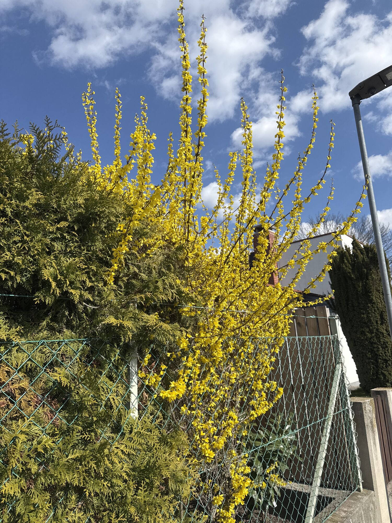
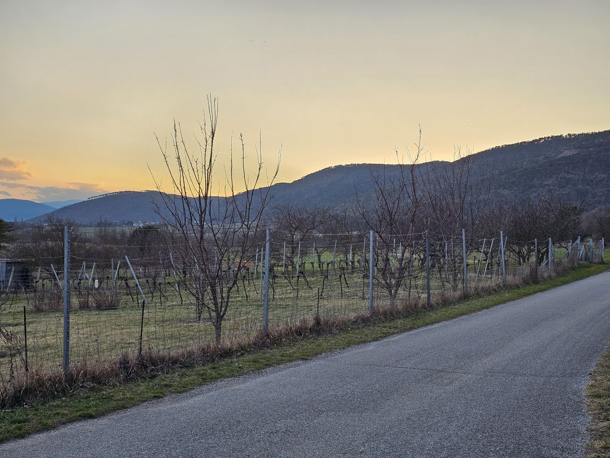
Fotografie našich používateľov
-
 © Anita StadtherrVytvorené dňa 28.02.2026
 -

 © Martino68Vytvorené dňa 29.08.2025
 -
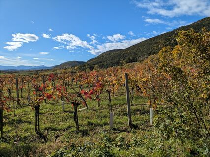
 © RudolfVytvorené dňa 27.04.2025
 -
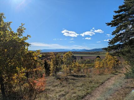
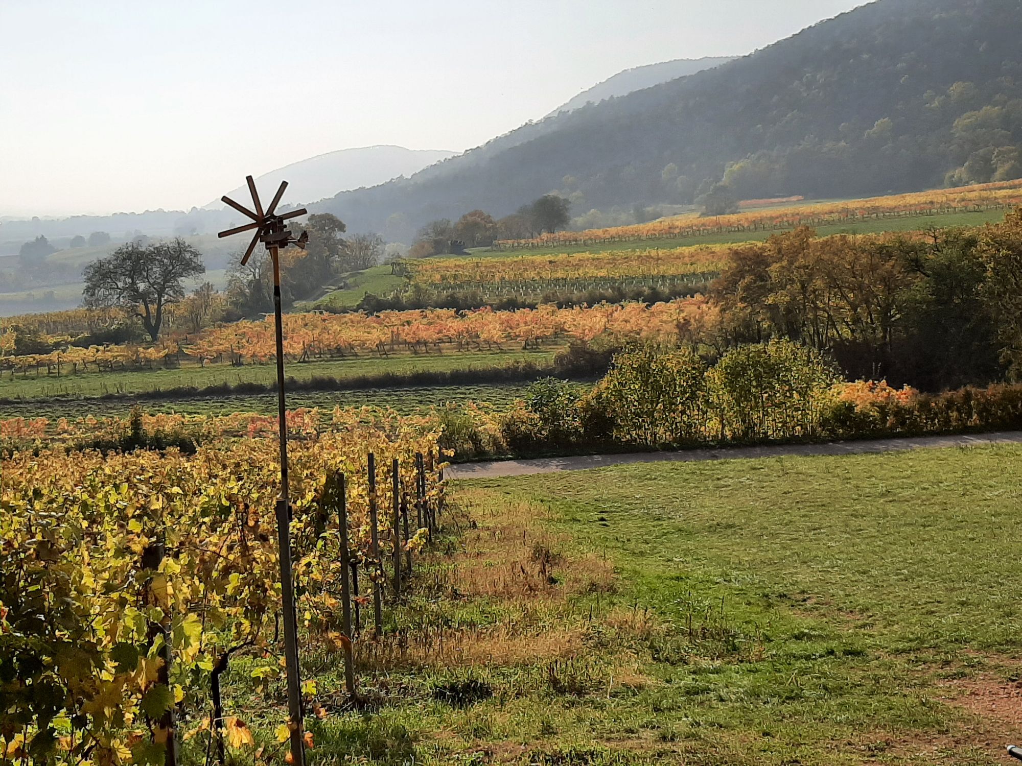
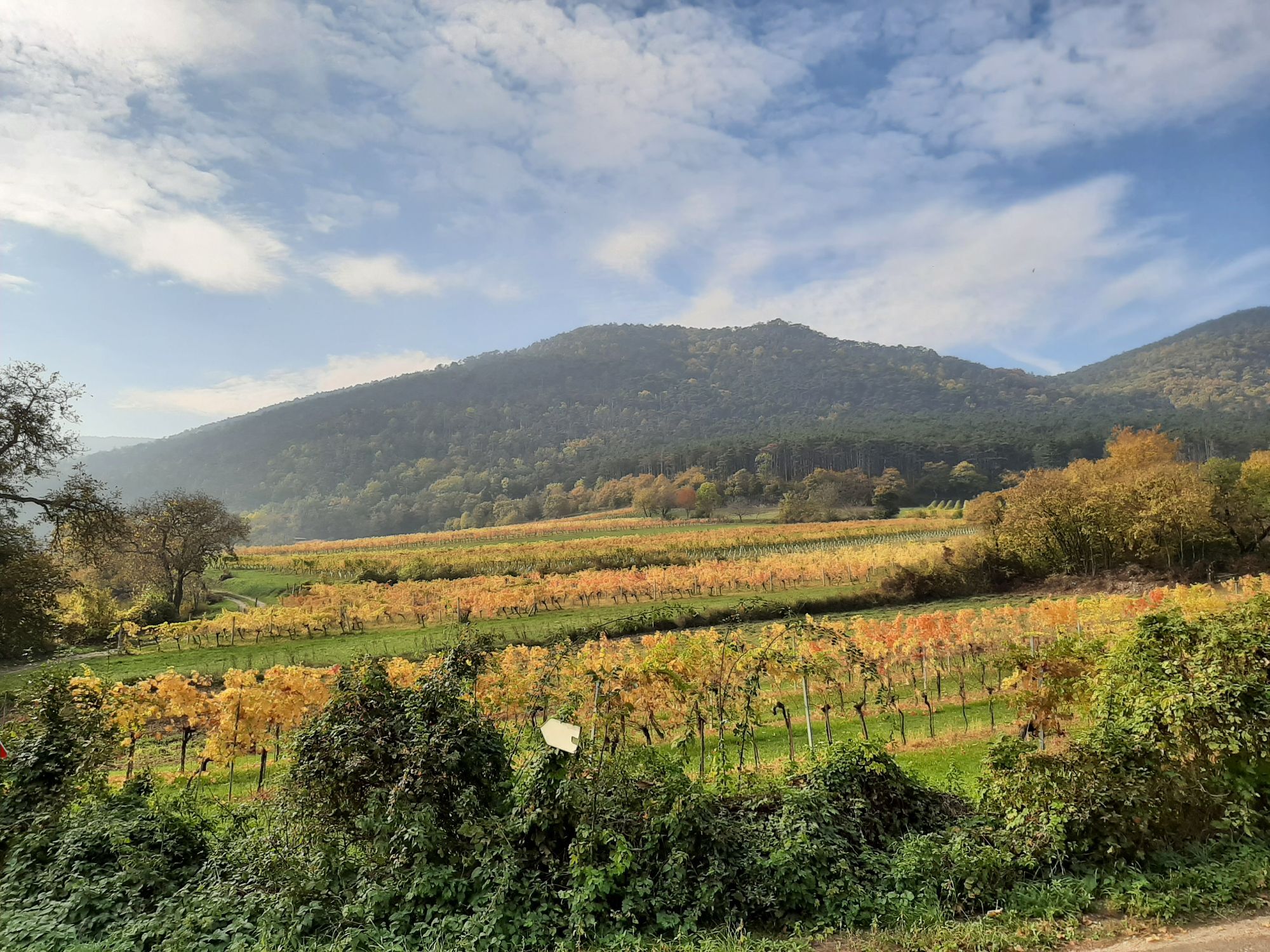
 © Thomas GollVytvorené dňa 16.10.2022
 -
 © Thomas GollVytvorené dňa 16.10.2022
 -
 © Thomas GollVytvorené dňa 16.10.2022
 -
 © Thomas GollVytvorené dňa 16.10.2022
 -
 © Thomas GollVytvorené dňa 16.10.2022
 -
 © Thomas GollVytvorené dňa 16.10.2022
 -
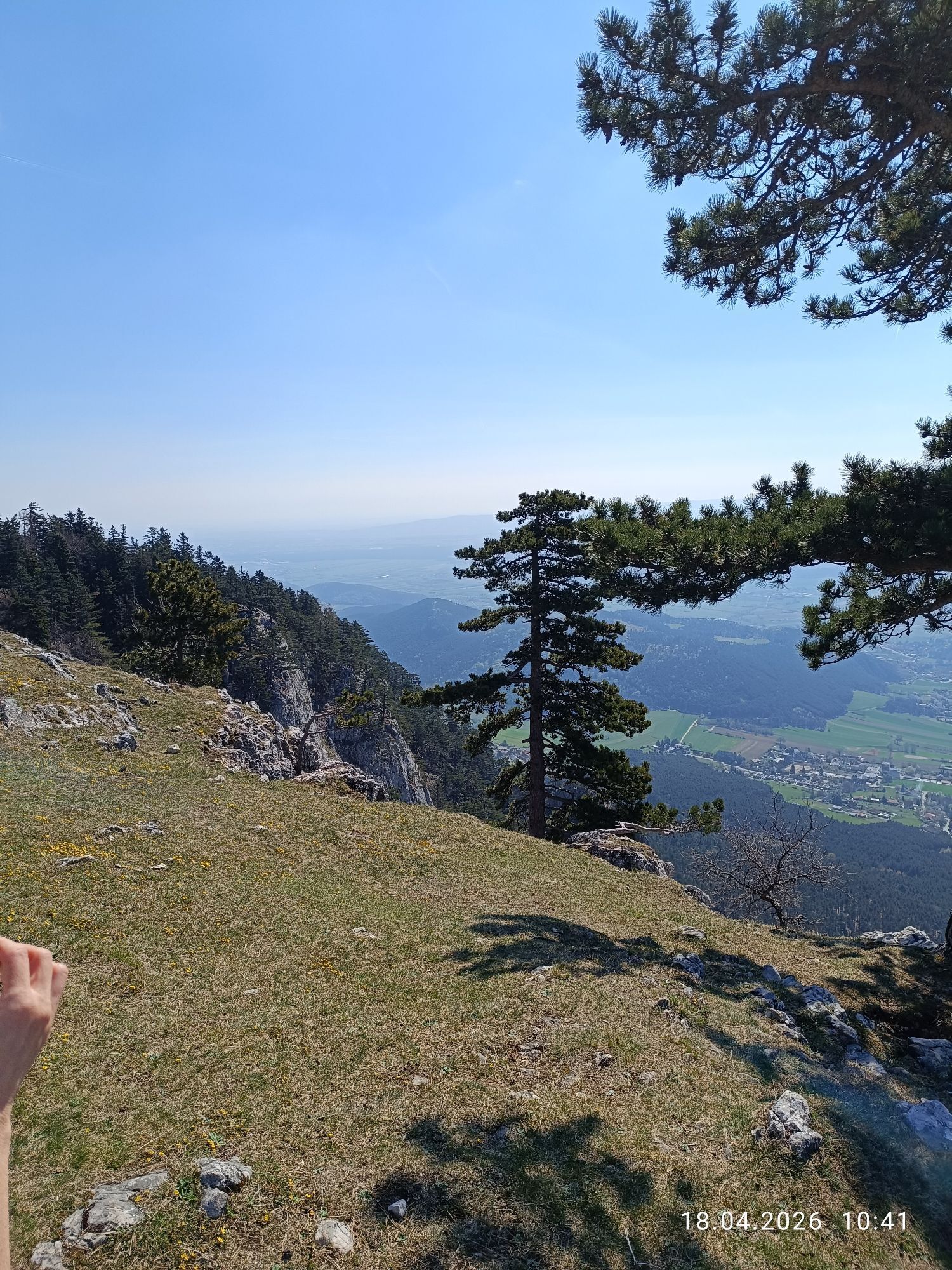
 © gaddo#adventuresVytvorené dňa 18.04.2026
 -
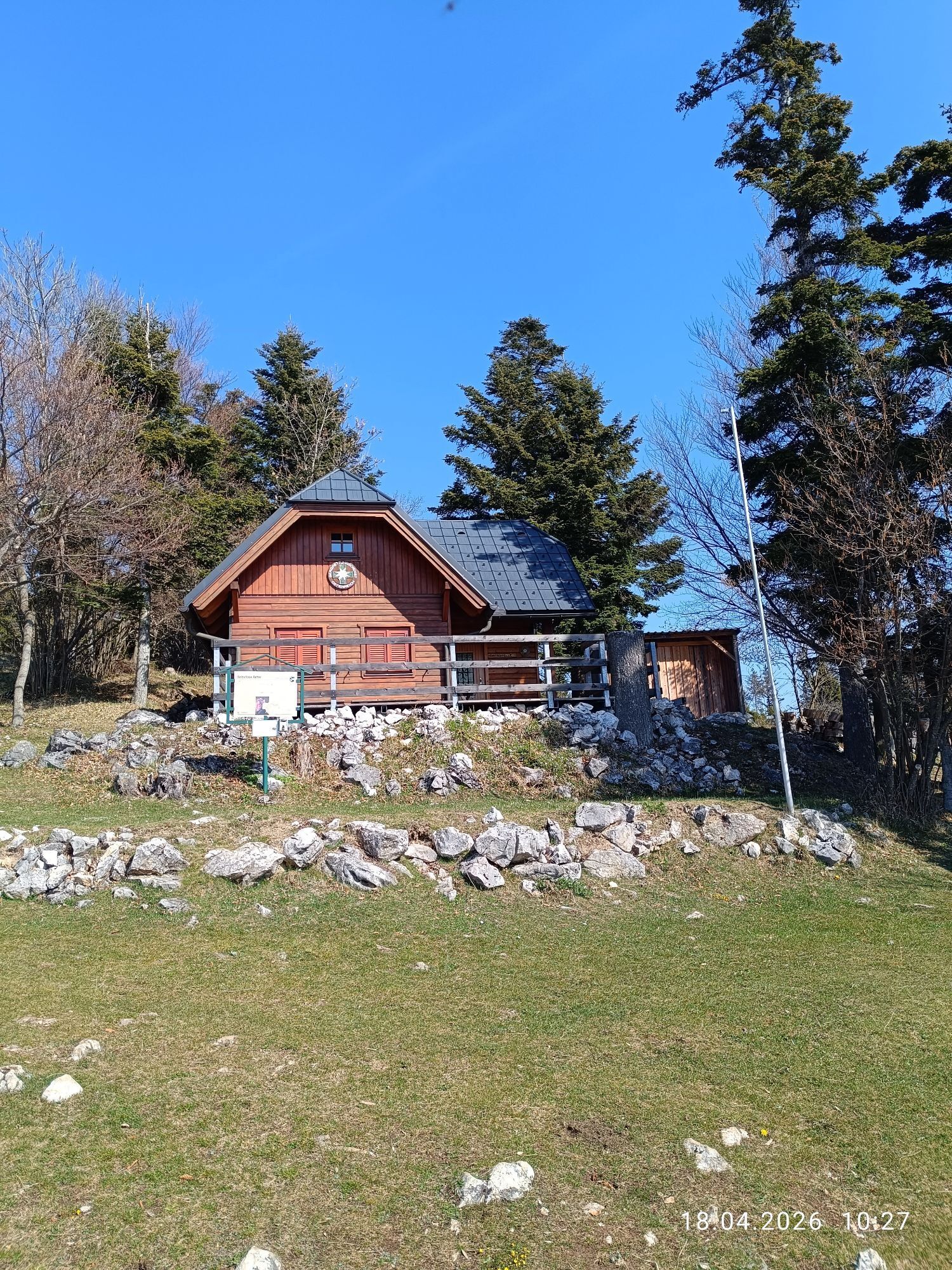
 © gaddo#adventuresVytvorené dňa 18.04.2026
 -
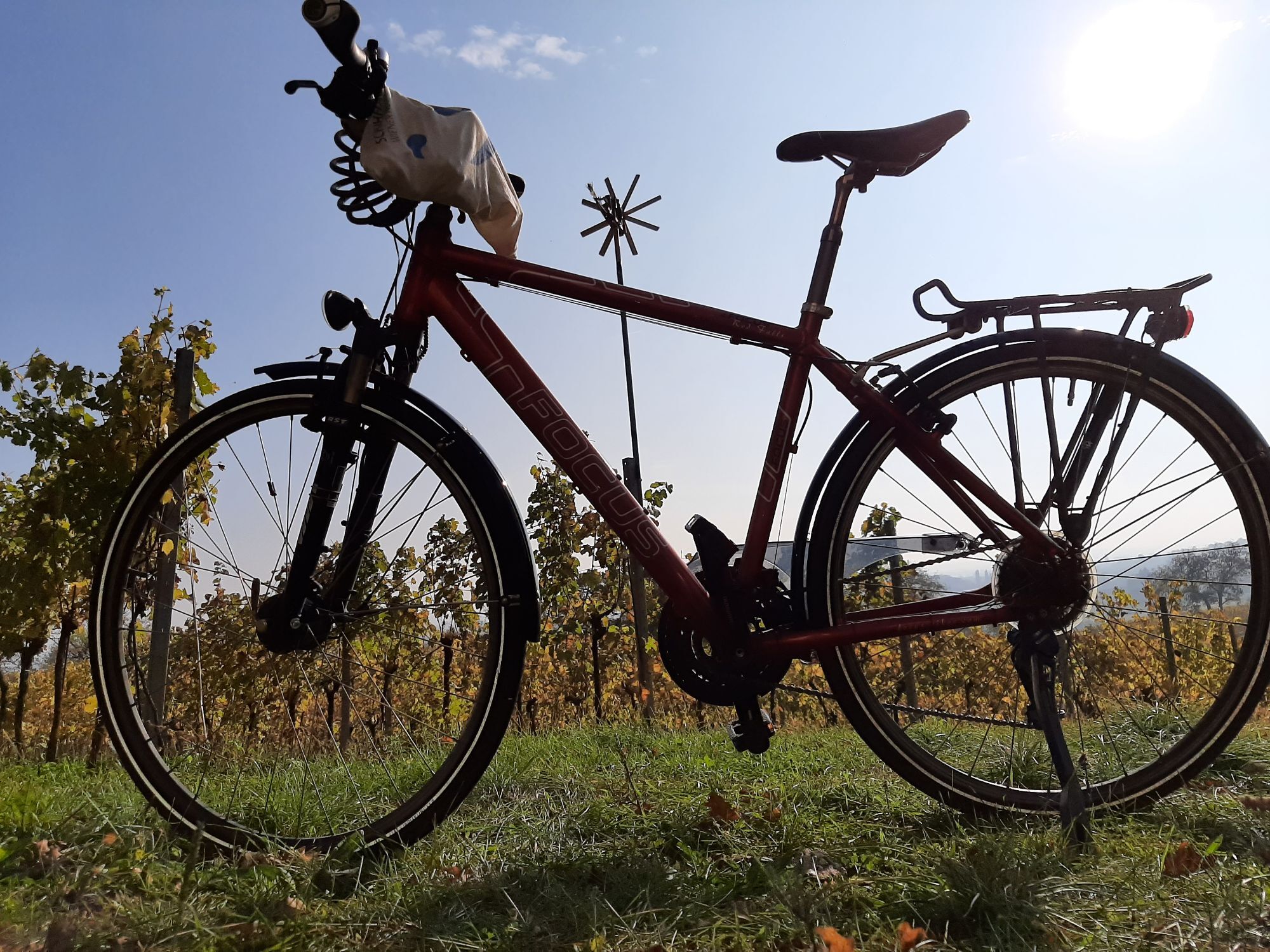
 © Andreas Vogel 1Vytvorené dňa 14.03.2026
 -
 © Andreas Vogel 1Vytvorené dňa 14.03.2026
 -
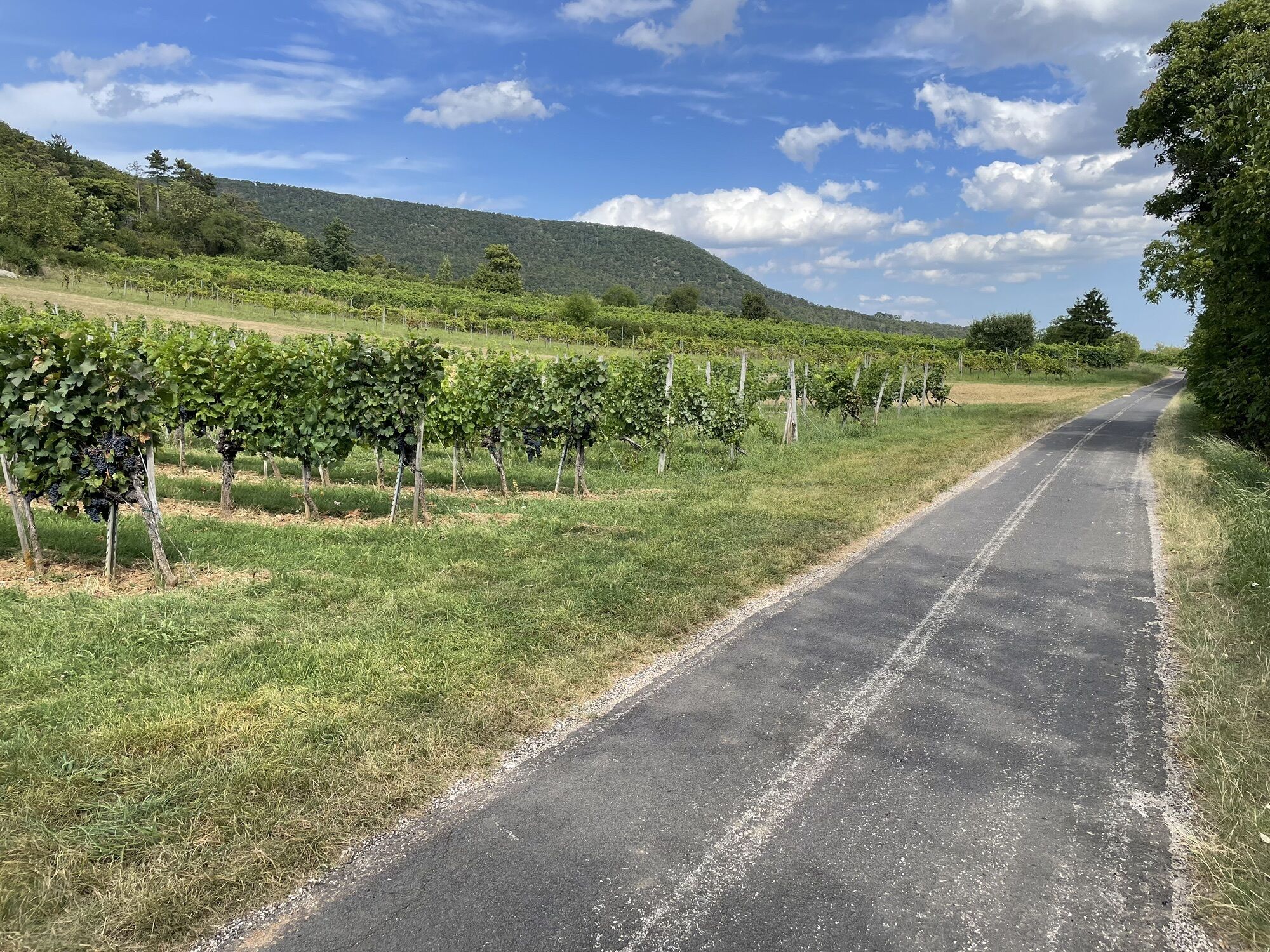
 © Matheo KrauleVytvorené dňa 13.03.2026
 -
 © Matheo KrauleVytvorené dňa 13.03.2026
 -
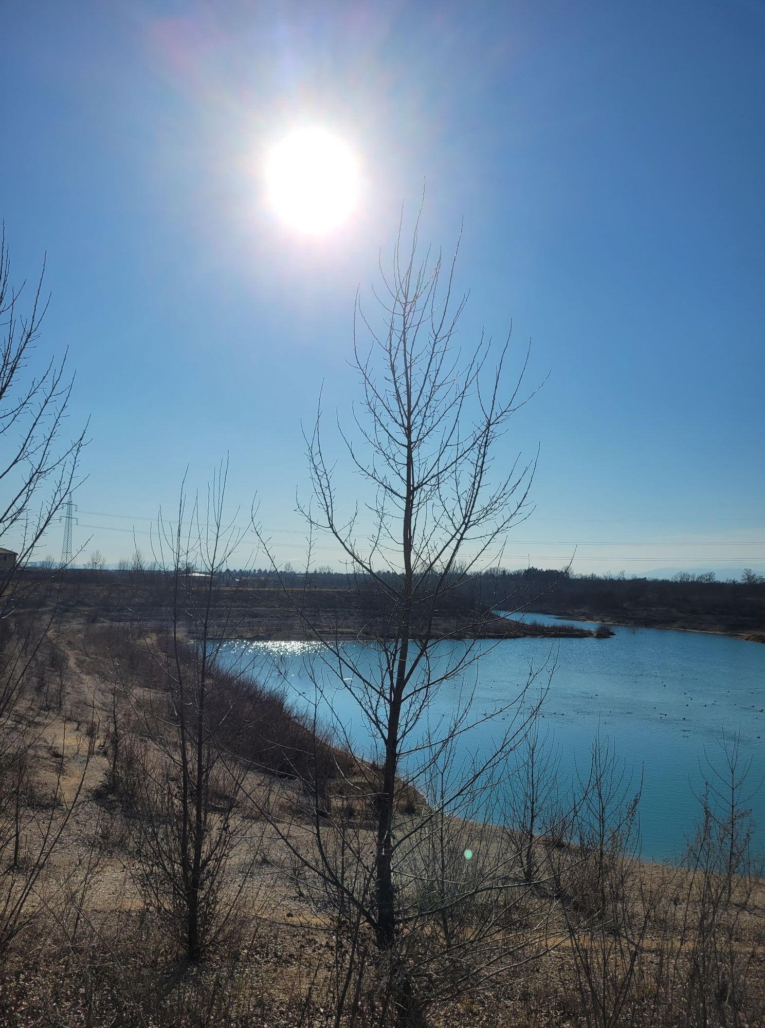
 © Ingeborg NovacekVytvorené dňa 08.03.2026
 -
 © EderoVytvorené dňa 25.10.2025
 -
 © EderoVytvorené dňa 25.10.2025
 -
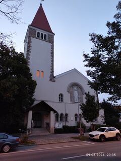
 © Barbara GalleVytvorené dňa 09.08.2024
 -
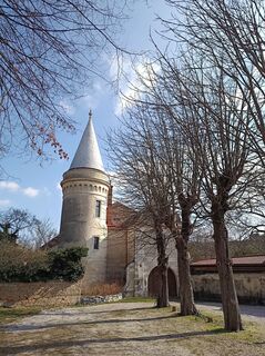
 © BergpiratVytvorené dňa 06.03.2024
 -
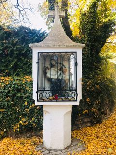
 © Kellner HeidiVytvorené dňa 07.11.2021


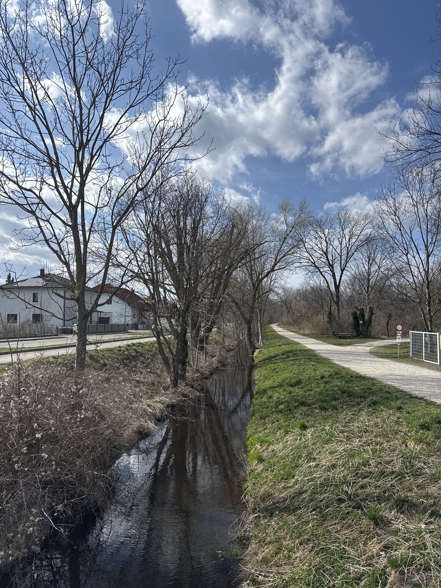


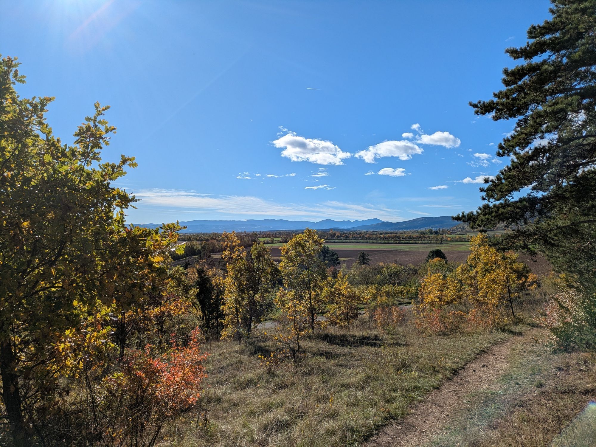

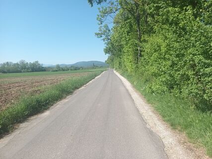
The route leads from Wiener Neustadt station via Bad Fischau, Winzendorf and Dörfles to Maiersdorf at the foot of the Hohe Wand.
The route is predominantly flat and promises special nature and cycling enjoyment...
<p>The route leads from Wiener Neustadt station via Bad Fischau, Winzendorf and Dörfles to Maiersdorf at the foot of the Hohe Wand.</p><p>The route is predominantly flat and promises special nature and cycling enjoyment for families and leisure cyclists as well as sports enthusiasts, with a dreamlike view of Schneeberg and Hohe Wand.</p><p>Along the route, there are numerous places to stop and refuel, for example in one of the inns on the way. You can find all inns in the Wiener Alpen here: www.wieneralpen.at/wirtshauskultur. </p><p>Particularly cyclist-friendly accommodation is offered by the Lower Austria cycle partners. Near the starting point of this route are the Hotel Zentral and the Hilton Garden Inn hotel, you can find the other Lower Austria cycle partners here: www.wieneralpen.at/radpartner-niedero...

<p>The start is at Wiener Neustadt station. The route leads through the Schmuckerau district to Anemonensee and then on to Bad Fischau.</p><p>On the way towards Winzendorf, you will be near numerous caves and the remarkable Engelsberg quarry. Then it continues to Dörfles before branching off towards Netting.</p><p>The last section runs along a country road, offering the most beautiful view of the entire route of Schneeberg and Hohe Wand.</p>
<p>Sturdy footwear, sportswear (including a change of clothes), sun or rain protection depending on the weather, drinks and a small snack (e.g., a bar or a piece of fruit), money, mobile phone</p>
<p><strong>Coming from the A2 southern motorway</strong>, take the exits Wiener Neustadt West or Wöllersdorf. Via feeder roads, you can be in the center within a few minutes.</p><p>Enter your current location as the start point and Wiener Neustadt main station as the destination and find the <strong>fastest route</strong> at: maps.google.at/.</p>
<p>There are numerous <strong>bus and train connections</strong> to Wiener Neustadt main station.</p><p>Further information at <a href="www.oebb.at">www.oebb.at</... and <a href="www.vor.at">www.vor.at</a&...
<p><strong>Stadtpark Garage</strong> (Lederergasse 33, 2700 Wr. Neustadt):</p><p>in the immediate vicinity of the Hilton Garden Inn hotel and Kasematten. Within walking distance to the old town,</p><p><strong>Hauptplatz Garage</strong> (Ungargasse 18a, 2700 Wiener Neustadt):</p><p>the ideal parking option for guests who want to visit the main square or its surroundings.</p><p><strong>Theater Garage</strong> (Herzog Leopold Straße 27, 2700 Wiener Neustadt):</p><p>ideal parking option for guests who want to visit our city center or the city theater. </p>
Verantwortlicher für den Inhalt dieser Tour
Wiener Alpen in Niederösterreich
Letzte Aktualisierung: 28.10.2025
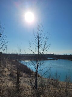
A visit to the Beach Club Himmelblau on Anemonensee conveys a very special holiday atmosphere.
Webové kamery z prehliadky
Obľúbené výlety v okolí
-
4,8
Flatzer Wand Wanderung
svetloTuristika 5,62 km -
4,8
ÖTK Klettersteig (vormals HTL Klettersteig) und Blutspur (D/E)
ťažkéVia ferrata 1,41 km -
4,8
Hohe Wand: Babygrat (1+), Rundwanderung und Wagnersteig (A)
ťažkéTuristika 11,8 km -
4,8
Hohe Wand Wagnersteig - Springlessteig
strednáTuristika 5,59 km -
4,6
Grünbach - Eselsteig - Geländ
svetloTuristika 5,22 km -
4,6
Hohe Wand: Grafenbergweg - Große Kanzel - Rastkreuz - Gländ
strednáTuristika 9,03 km -
4,5
Johannesbachklamm - Würflach
strednáTuristika 11,3 km -
4,5
Hohe Wand: Frauenlucke und Völlerin
strednáTuristika 1,90 km -
4,8
Gelände vom Grünbacher Sattel
strednáTuristika 7,52 km -
4,4
Gebirgsvereinssteig C/D
ťažkéVia ferrata 4,38 km

Turistika a stopovanie


Nenechajte si ujsť ponuky a inšpiráciu na ďalšiu dovolenku
Vaša e-mailová adresa bol pridaný do poštového zoznamu.