






Bike Route 83 (Retz - Stockerau)

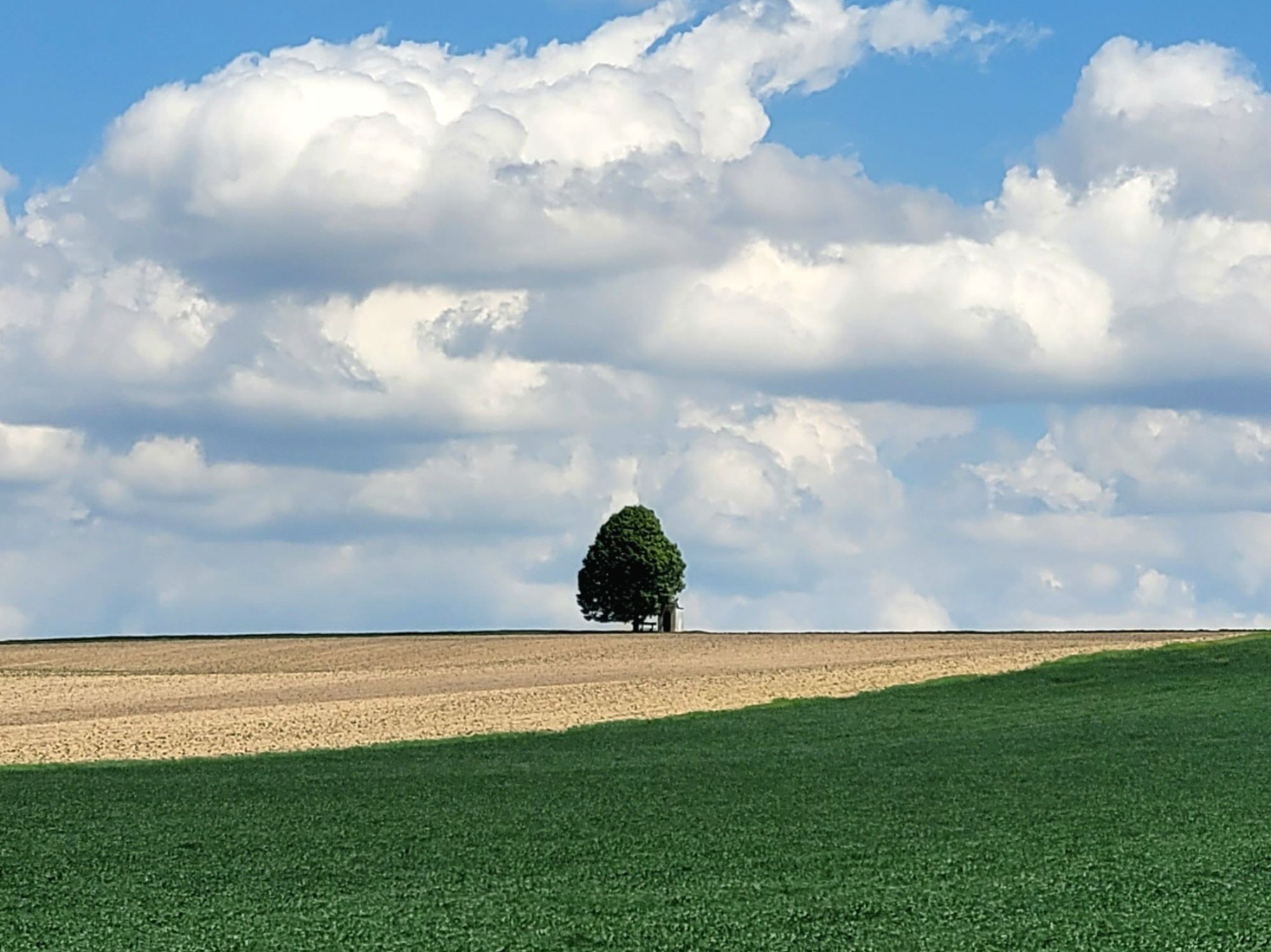
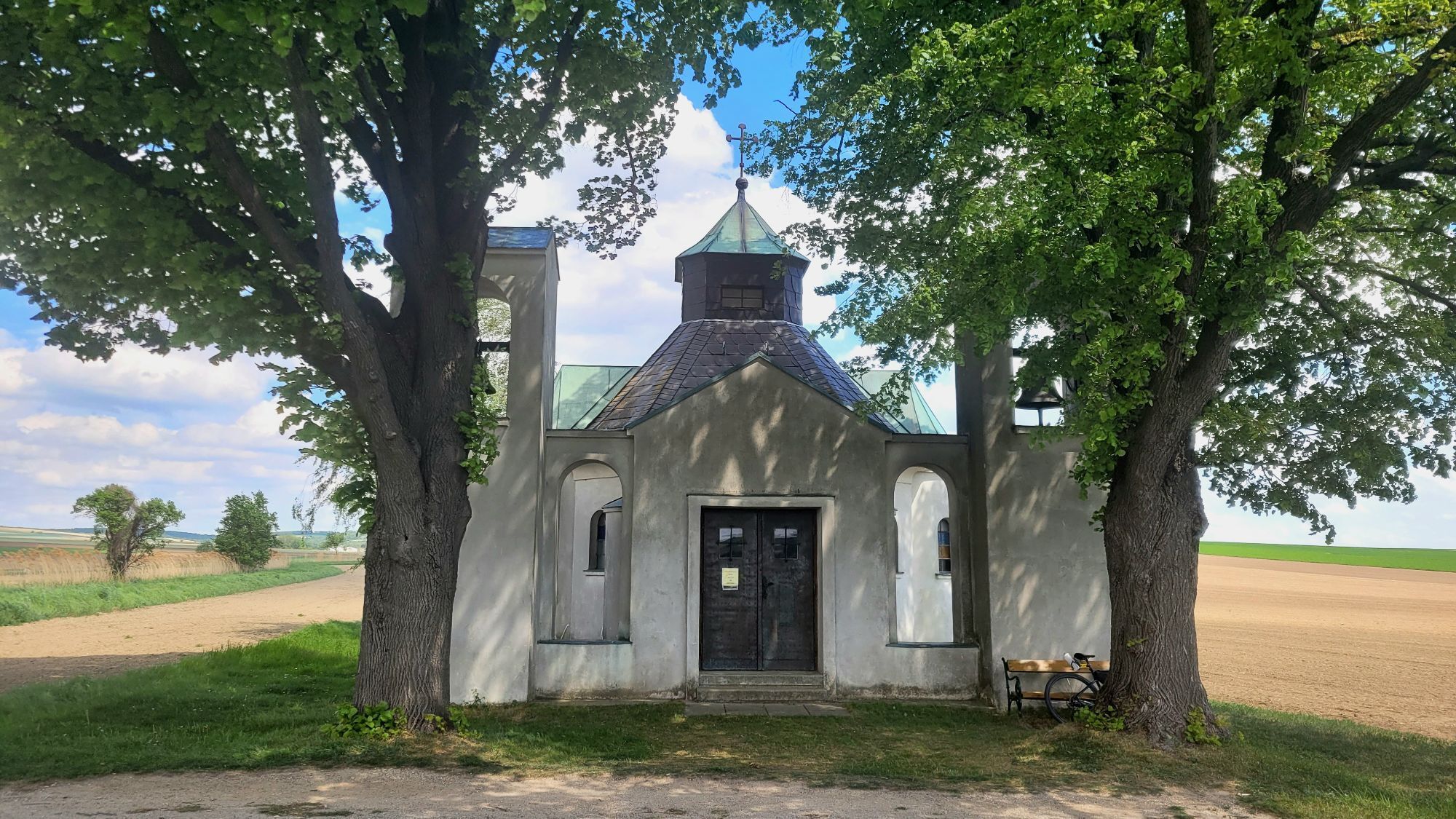
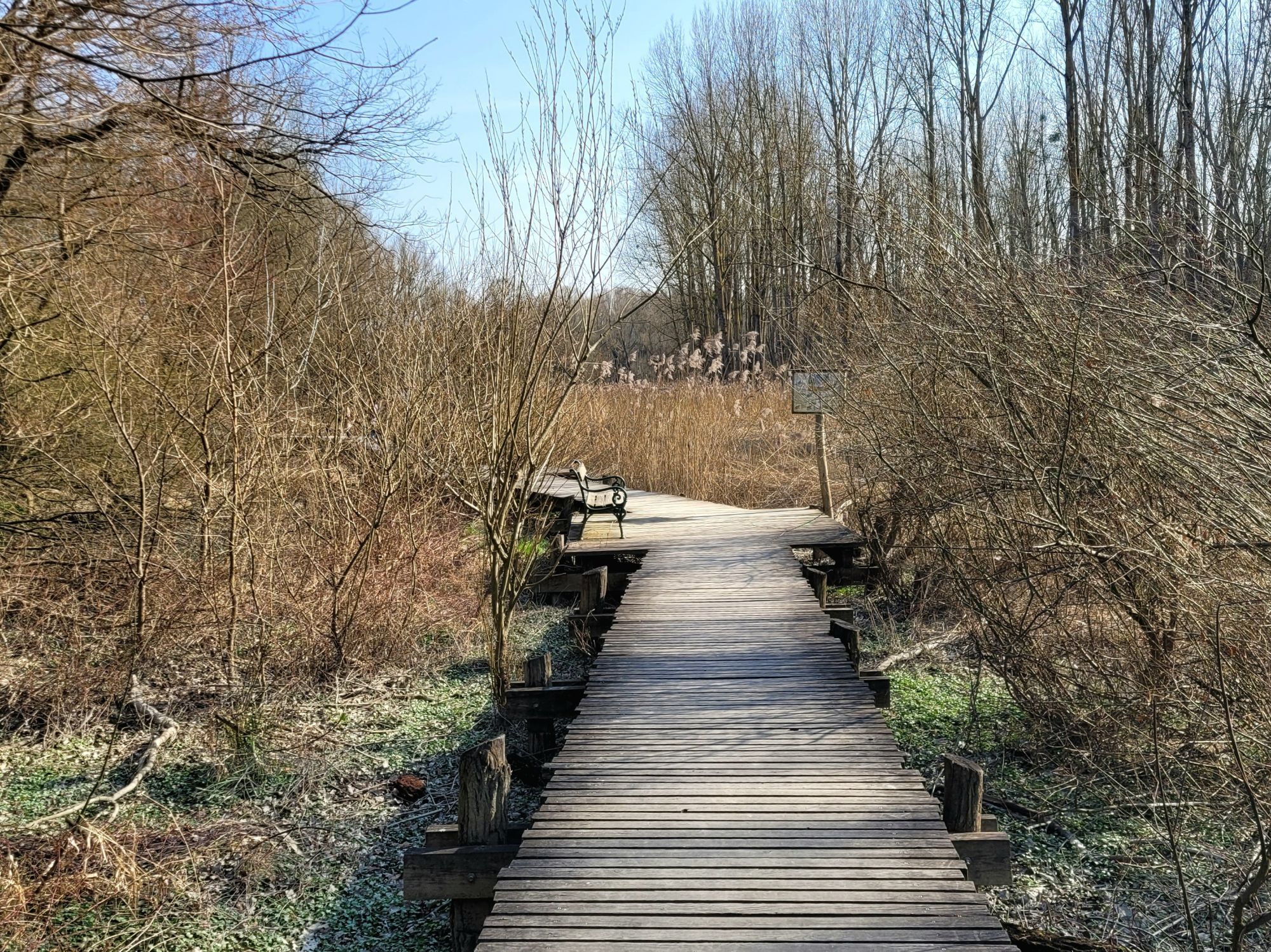
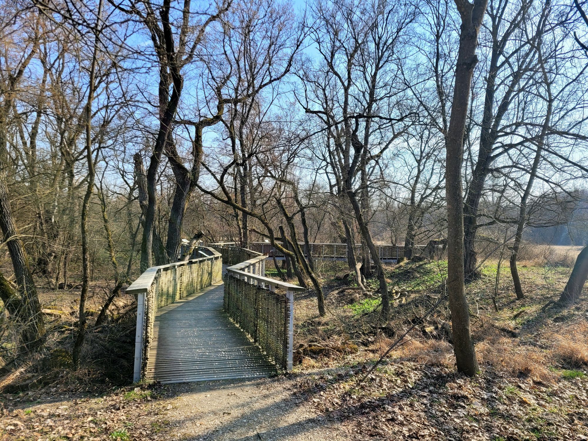
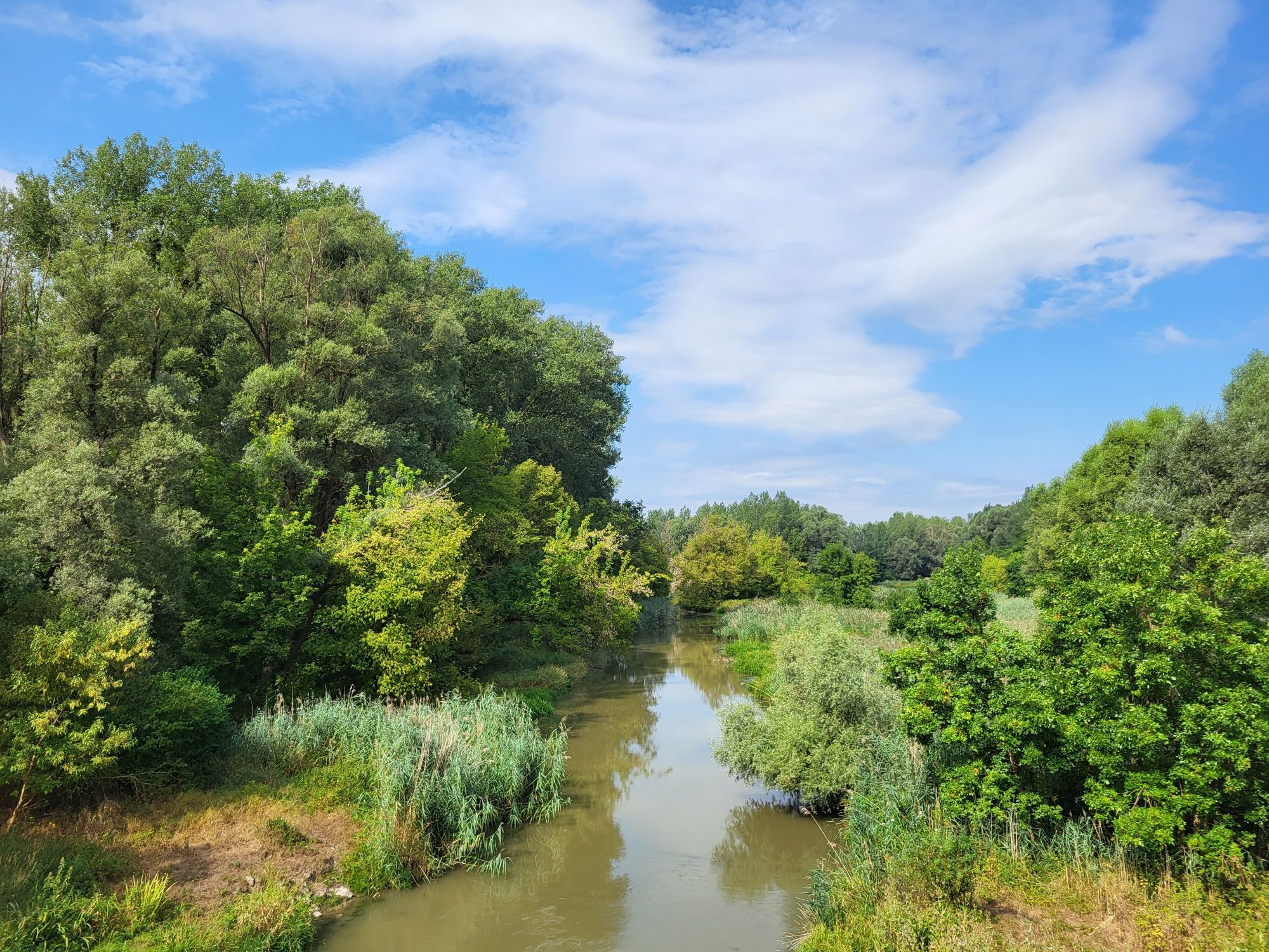
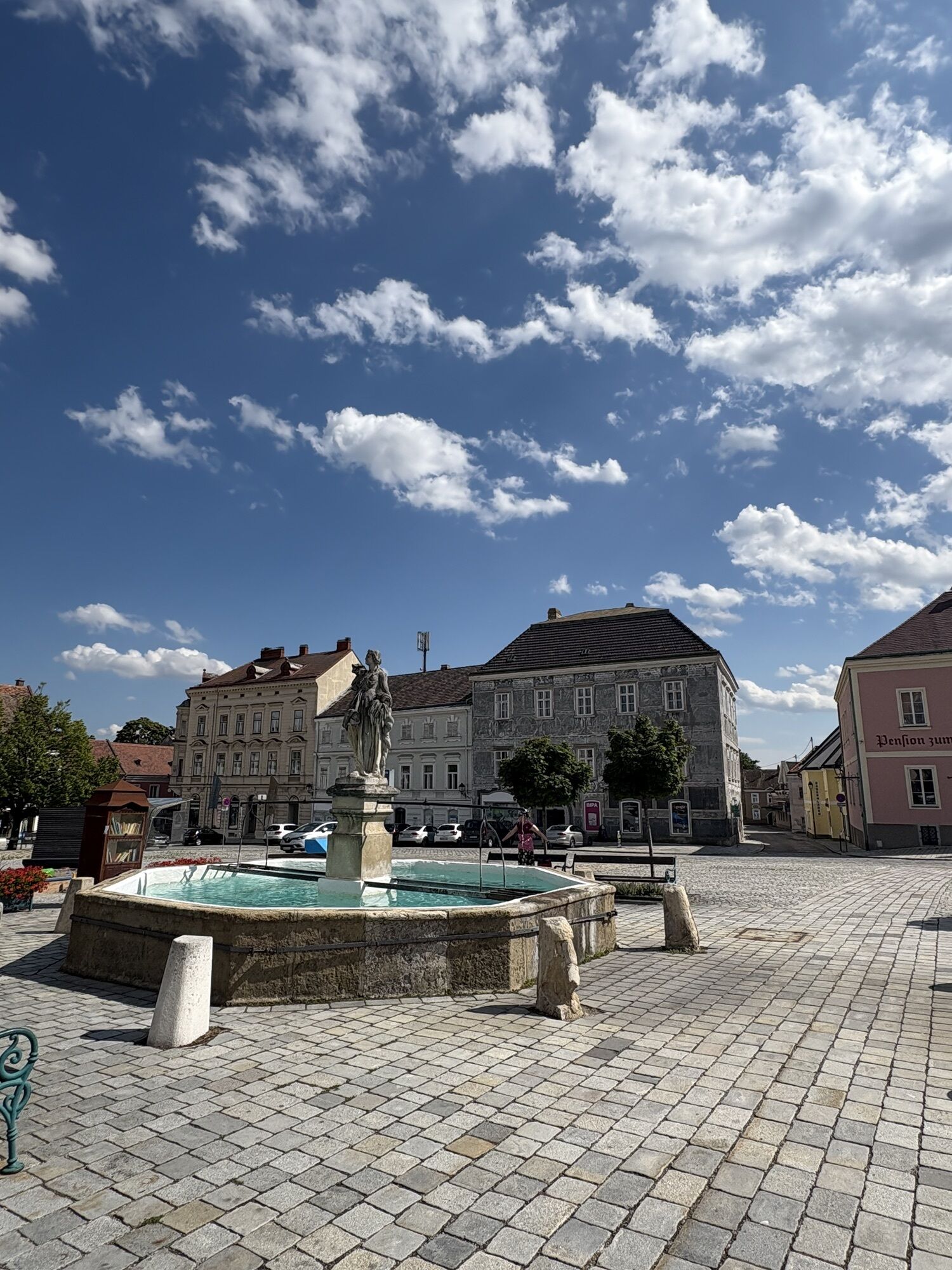
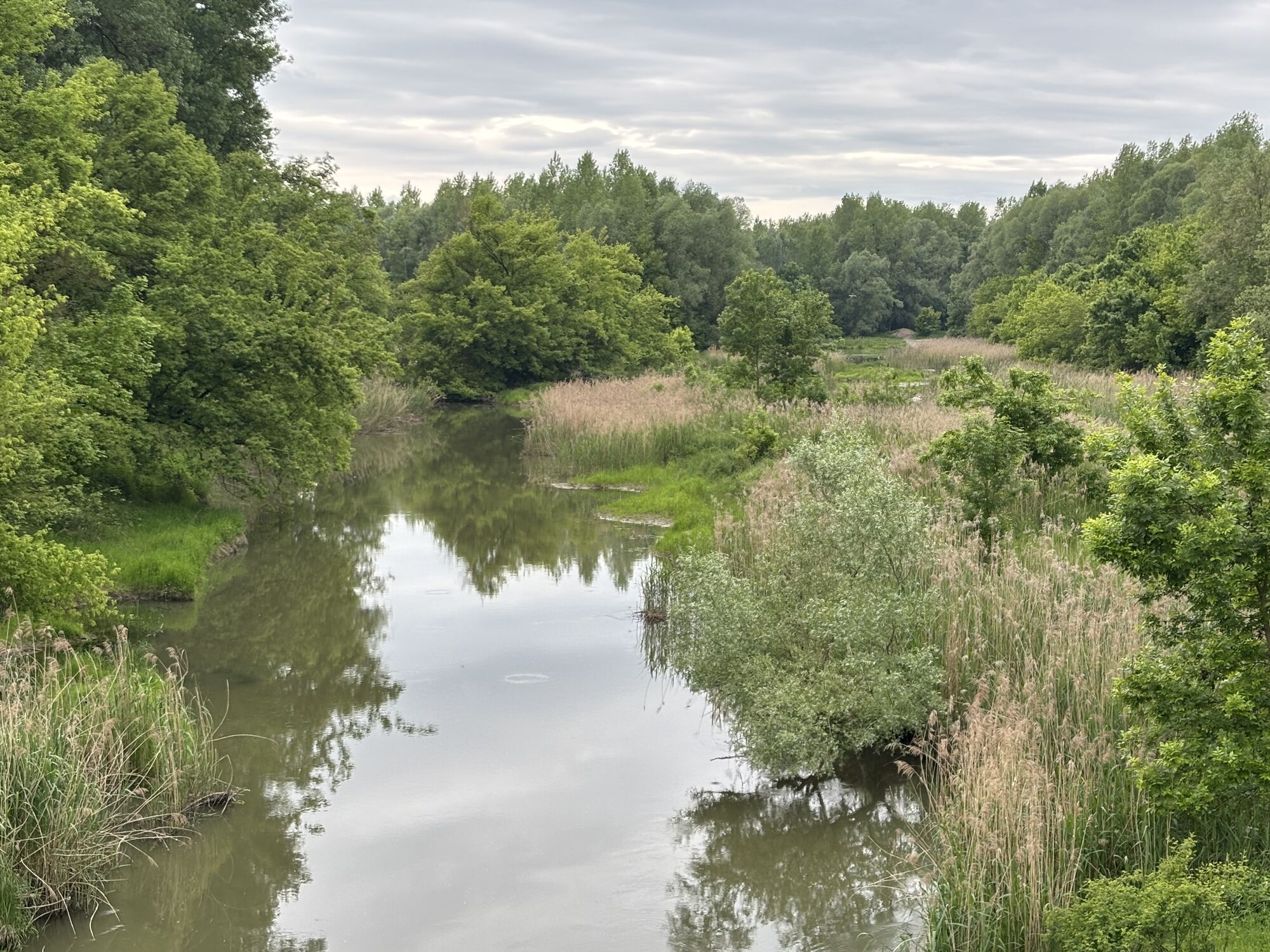
The route starts in Retz at the town square and leads past the train station in a south-easterly direction into the Pulkautal valley to Jetzelsdorf. From this typical wine-growing region, the route heads...
The route starts in Retz at the town square and leads past the train station in a south-easterly direction into the Pulkautal valley to Jetzelsdorf. From this typical wine-growing region, the route heads south to Wullersdorf. From there, the route continues through the district capital of Hollabrunn to Breitewaida and Göllersdorf. Passing Schönborn Castle and through Sierndorf, cycle route 7 ends at Stockerau railroad station with the option of continuing along the Danube cycle path.

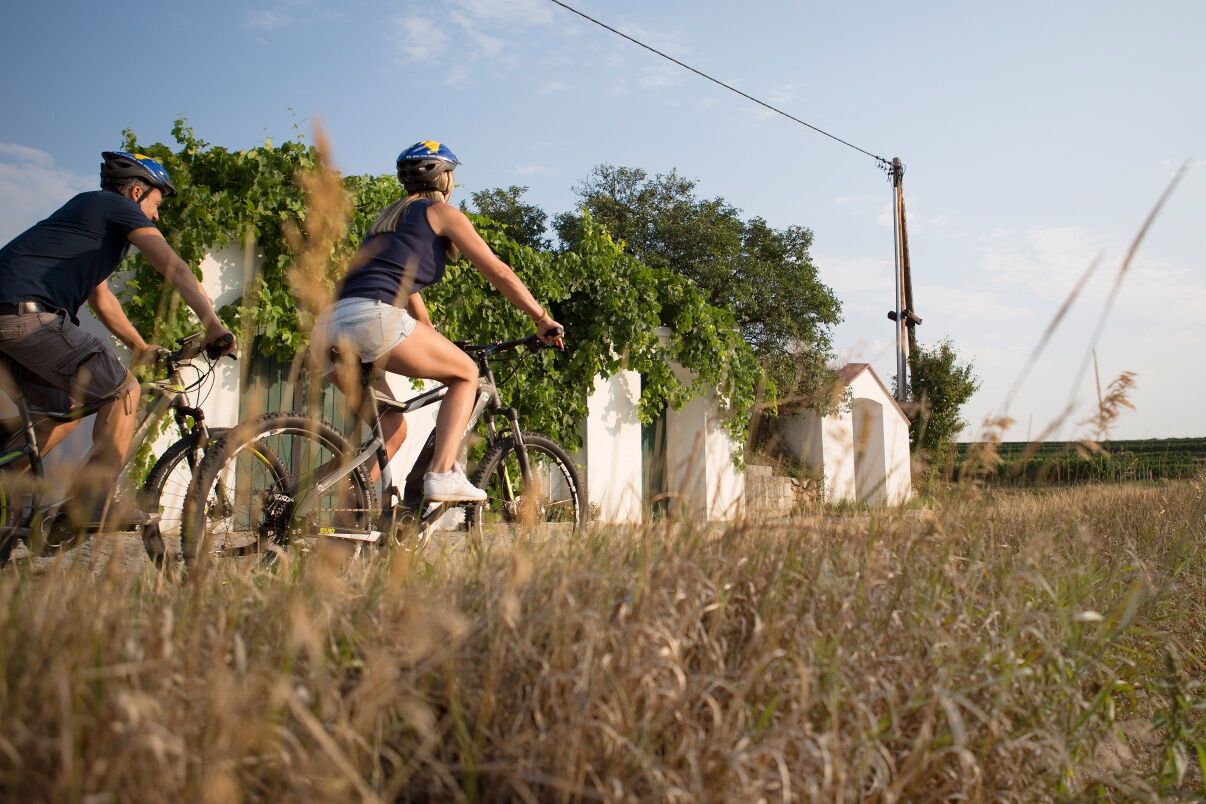

Bike route 83 runs along the typically little-used agricultural paths of the Weinviertel. It is mostly paved and passes the stations Retz, Hetzmannsdorf, Hollabrunn, Göllersdorf, Sierndorf, and Stockerau.
The route is suitable for all types of bicycles. From city bikes, gravel bikes, to mountain bikes. Gravel sections are less suitable for racing bikes.
From Vienna on the A22 to Stockerau, via Horner Straße to Retz
Along the route, you can join at the stations Retz, Hetzmannsdorf, Hollabrunn, Göllersdorf, Sierndorf, and Stockerau.
Train station parking lot Retz or Stockerau
In the Weinviertel, there are more than 100 bike partner businesses that pay special attention to the needs of cyclists. A list of all businesses can be found on our website. Using the filter function, you can conveniently display the businesses of the desired bike route. Further filtering allows you to search for suitable accommodation or a suitable gastronomy business.
The route is signposted in both directions, so it can also be ridden from Stockerau to Retz.

Obľúbené výlety v okolí
-
4,0
Weinwanderweg Wetzdorf
svetloTematická trasa 6,51 km -
4,3
Niederrußbach Dauersberg Stranzendorf retour 20190519
svetloTuristika 7,75 km -
4,0
Rivaner-Radtour
Cyklistika 54 km -
3,5
Portugieser-Radtour
Cyklistika 67 km -
4,8
Naturerlebnis Blumenberge Weinviertel
strednáCyklistika 29,6 km -
3,0
Holzknechtkapelle Enzersdorf
svetloTuristika 6,39 km -
2,7
Rieplkreuz-Runde Ernstbrunner Wald
svetloTuristika 6,79 km -
RUSSBACH Dauers- und Haberg Kalte Stube Hirschberg 20200315
strednáTuristika 14 km -
4,0
Riesling Radrunde
strednáCyklistika 46,8 km -
4,0
Sierndorf-Radrunde
svetloCyklistika 29,8 km
Turistika a stopovanie


Nenechajte si ujsť ponuky a inšpiráciu na ďalšiu dovolenku
Vaša e-mailová adresa bol pridaný do poštového zoznamu.





