







Knödel-Land cycle route
The Knödel-Land cycle path is particularly attractive for cyclists as it takes you from Merkenbrechts, just a few kilometers after the start in Göpfritz an der Wild, through the largely untouched, species-rich...
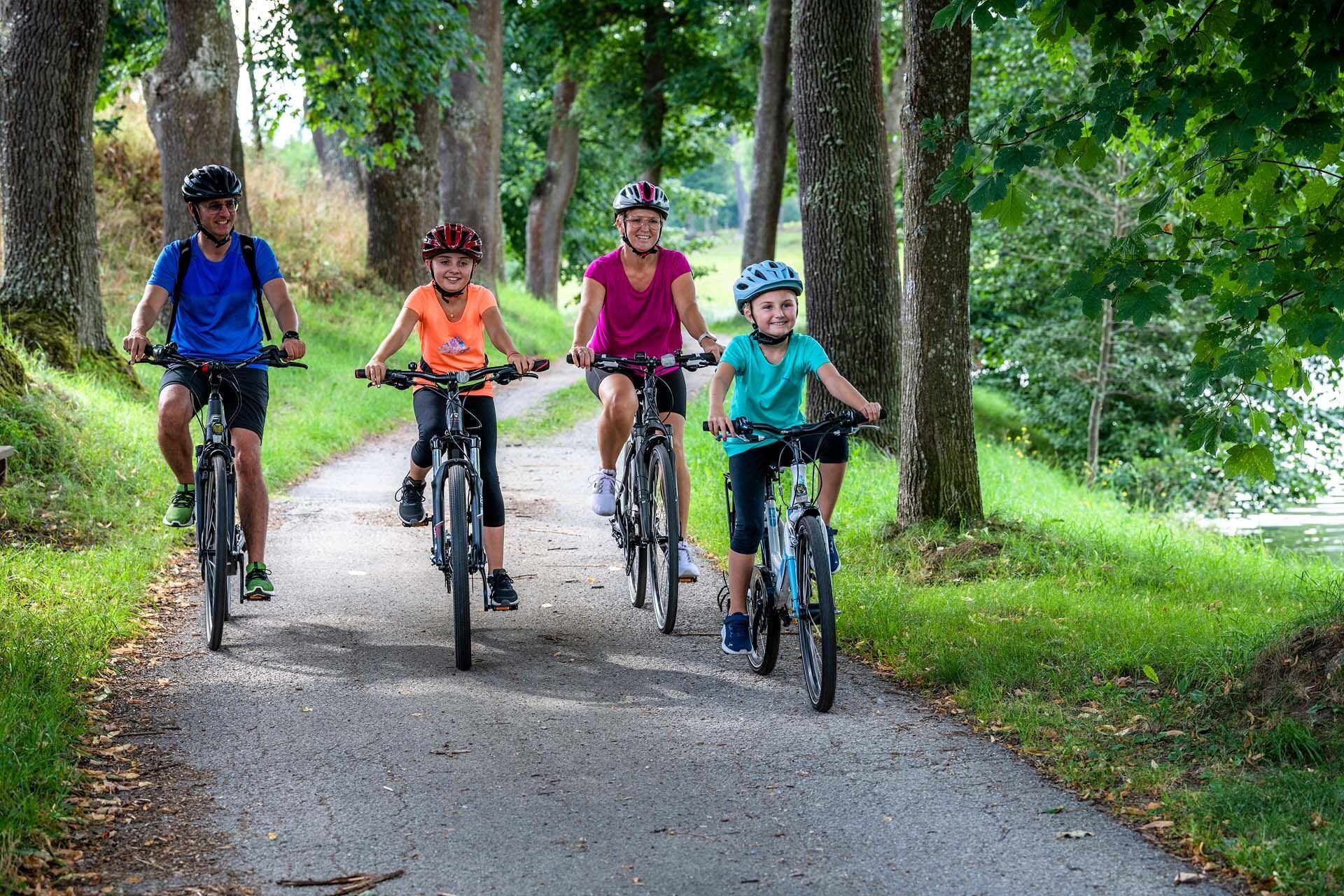
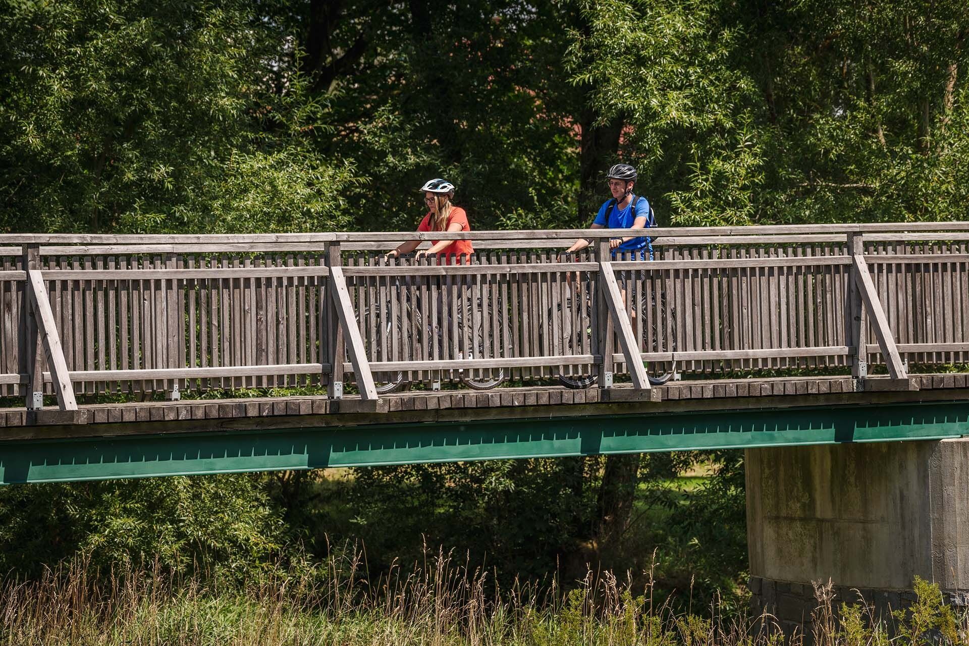
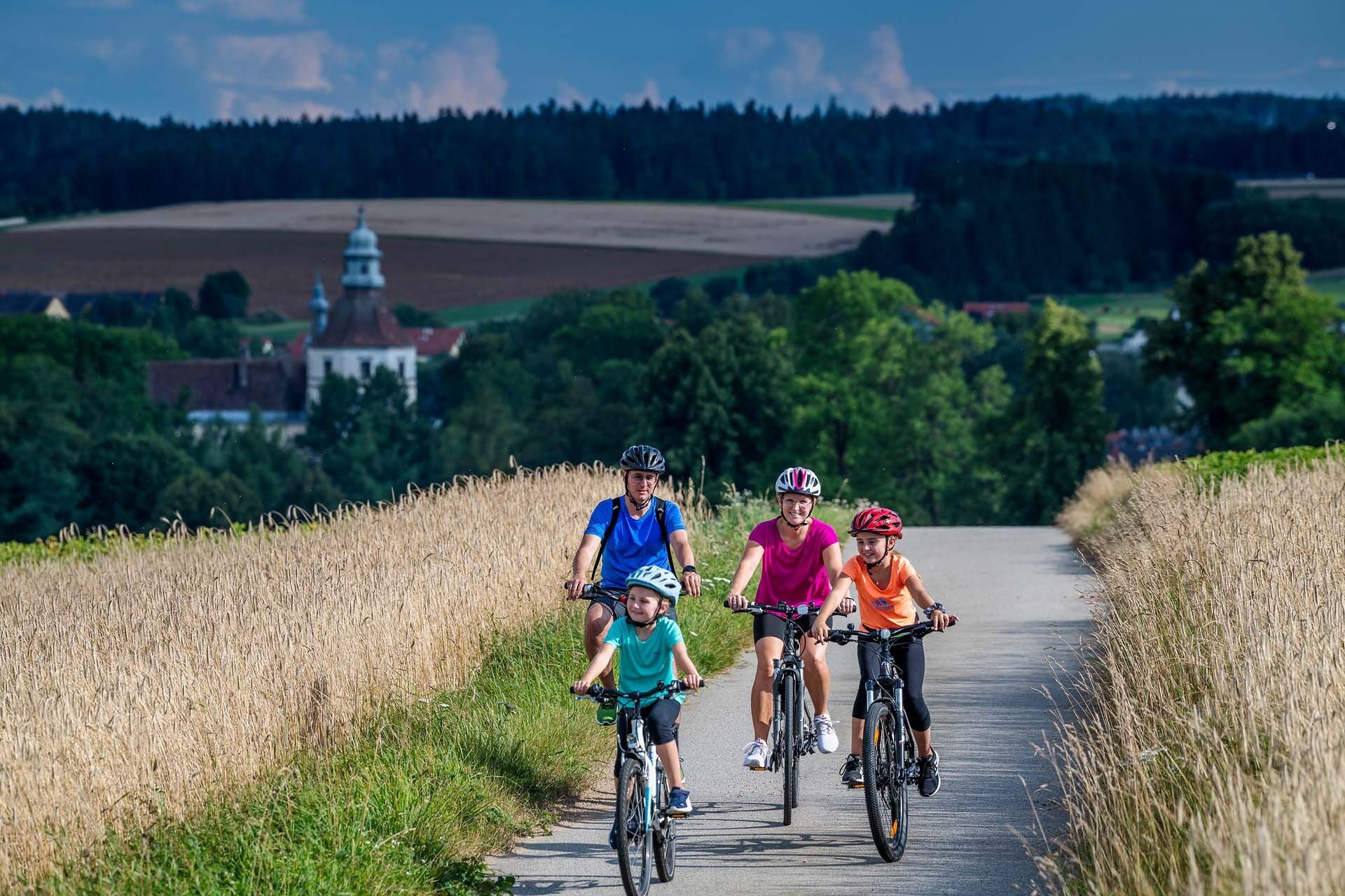
The Knödel-Land cycle path is particularly attractive for cyclists as it takes you from Merkenbrechts, just a few kilometers after the start in Göpfritz an der Wild, through the largely untouched, species-rich landscape of the military training area. But also to other rarities such as the ruined villages of Neunzen and Wurmbach as well as the officers' settlement with its striking wooden houses in Allentsteig or the schnapps glass museum in Echsenbach. An extremely attractive section opens up for you alongside the Thaya river via Schwarzenau to Windigsteig - well fortified by the region's dumpling specialties. There you meet up with the Thayrunde Süd and cycle via Breitenfeld back to the start in Göpfritz/Wild.
Please note: The route leads through the Allentsteig military training area, a restricted military area. Passing through is permitted until further notice. However, please do not leave the signposted route!
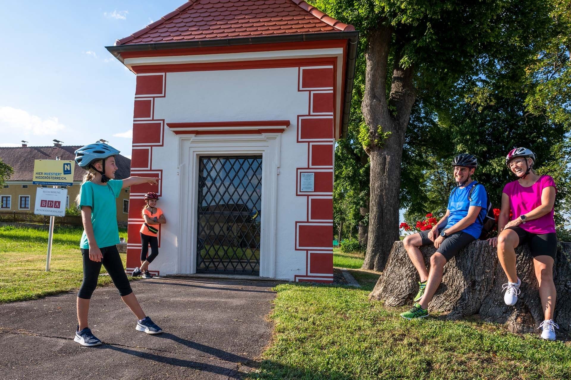
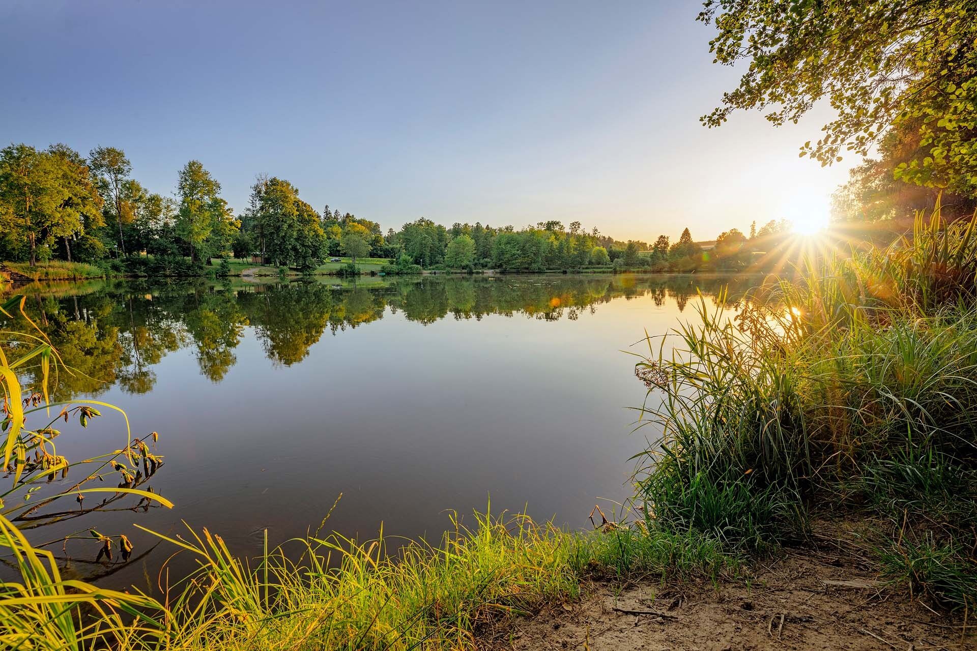
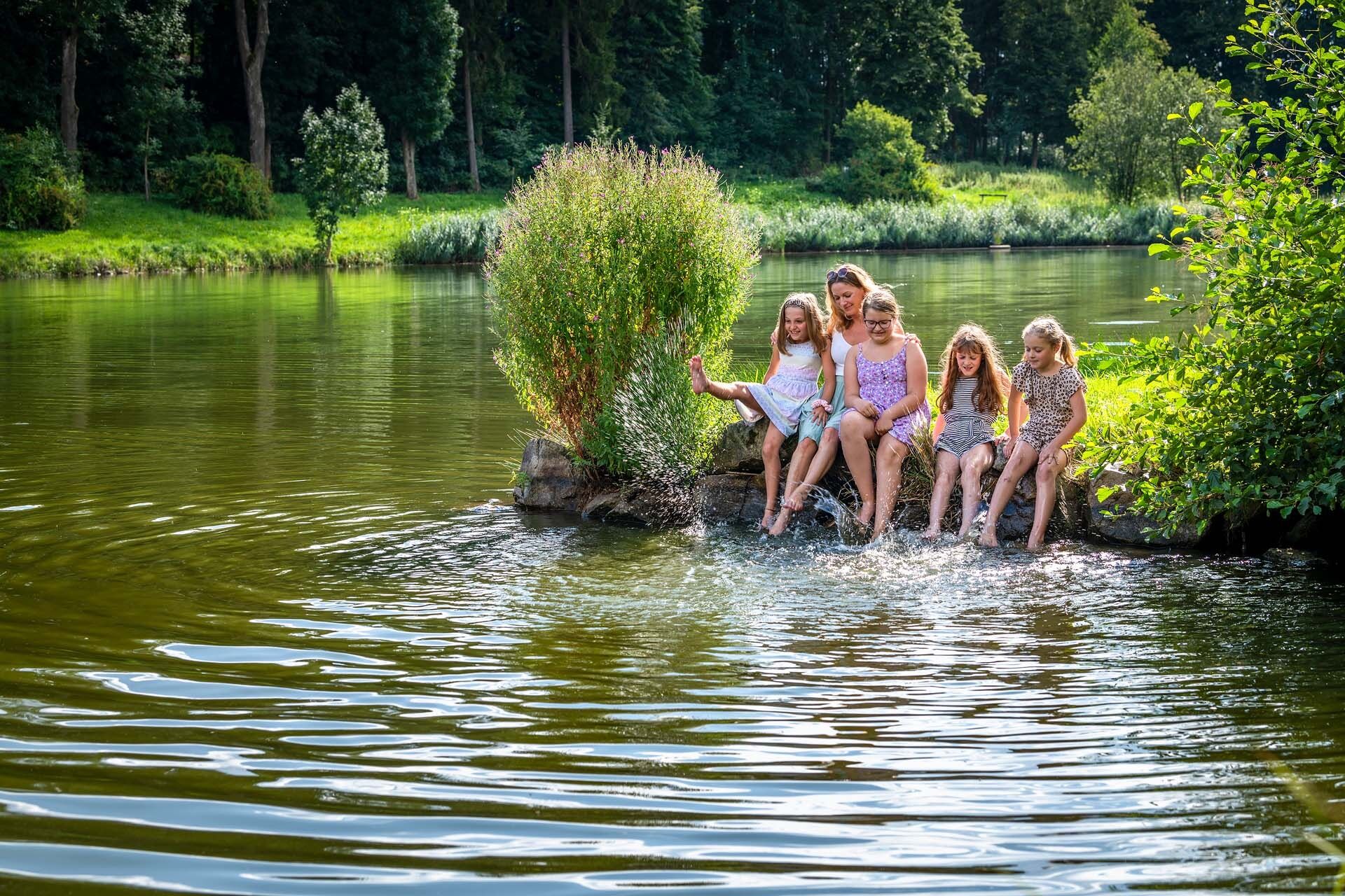
TÜPL Allentsteig and town lake Allentsteig - Aussiedlermuseum Allentsteig - Knödlkulinarik - swimming in the Brühlteich near Schwarzenau - Schwarzenau Castle - Schnapsglasmuseum in Echsenbach - Kräuterdorf Merkenbrechts - Feuerwehrmuseum Göpfritz/Wild - Modellbahnhof Göpfritz/Wild
You can find the connecting route to the Kampseen "Volt" cycle tour/Thayarunde here



Göpfritz / Wild, Merkenbrechts, Alltentsteig, Bernschlag, Groß-Kainraths, Echsenbach, Schwarzenau, Windigsteig, Waldberg, Weinpolz, Göpfritz / Wild
We recommend: helmet, suitable clothing and footwear, rain and sun protection, first aid kit, sufficient provisions (snack, muesli bars, fruit, water).
The route is suitable for city bikes, trekking bikes, e-bikes.
Route with 80% asphalt and 20% gravel.
Make sure when choosing the route that it matches your fitness level. Check whether the restaurants you want to visit en route are open. Pack your mobile phone and map material in your backpack.
Please always carry a passport or identity card for cross-border tours.
The route leads through the Allentsteig military training area, a military restricted zone. Passage is permitted until further notice. Please do not leave the marked path!
B2
Franz Josefsbahn Schwarzenau, Göpfritz or Allentsteig.
All information about all bus and train lines to the Waldviertel can be found at www.vor.at or www.oebb.at.
in Göpfritz at GH Wildrast
Heart of the Waldviertel region
Association Kleinregion ASTEG
3900 Schwarzenau, Bundesstraße 20/1
(T) +43 2849 28100
(M) +43 664 1439571
Waldviertel Tourism
3910 Zwettl, Sparkassenplatz 1/2/2
(T) +43 2822 54109
(E) info@waldviertel.at
(I) www.waldviertel.at/thayarunde
Connection to the Thaya round from Göpfritz to Windigsteig
Ride to the Volt round and visit the Kamp lakes


Obľúbené výlety v okolí
-
4,5
Teiche-Radroute (Strecke 2020) Niederösterreich
strednáCyklistika 48,7 km -
3,7
Knödel-Landradweg
strednáCyklistika 42,6 km -
5,0
Roiten-Bergwirt-Roiten Österreich
svetloTuristika 22,9 km -
Thayarunde 5.Etappe
strednáCyklistika 47,2 km -
4,0
Schweigginger Ursprungsrunde
strednáCyklistika 44,7 km -
Natur und Kultur
svetloTuristika 2,75 km -
5,0
Rundfahrt GD-Schrems
strednáMountainbike 25,8 km -
3,0
Raised bog hiking trail (Tut-gut route 1)
svetloTuristika 4,84 km -
4,5
Natur
svetloTuristika 11,1 km -
4,5
Pfaffenschlag über die europäische Hauptwasserscheide in den Naturpark Heidenreichsteiner Moor und zurück
svetloTuristika 16,4 km
Turistika a stopovanie


Nenechajte si ujsť ponuky a inšpiráciu na ďalšiu dovolenku
Vaša e-mailová adresa bol pridaný do poštového zoznamu.





