







Verbindungsweg Kamp-Thaya-March-Radroute und Manhartsberg Radweg

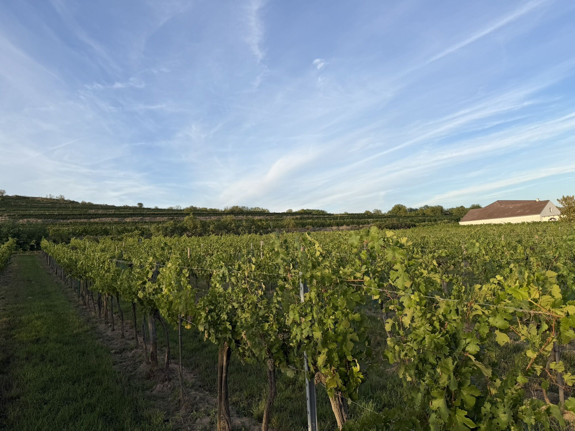
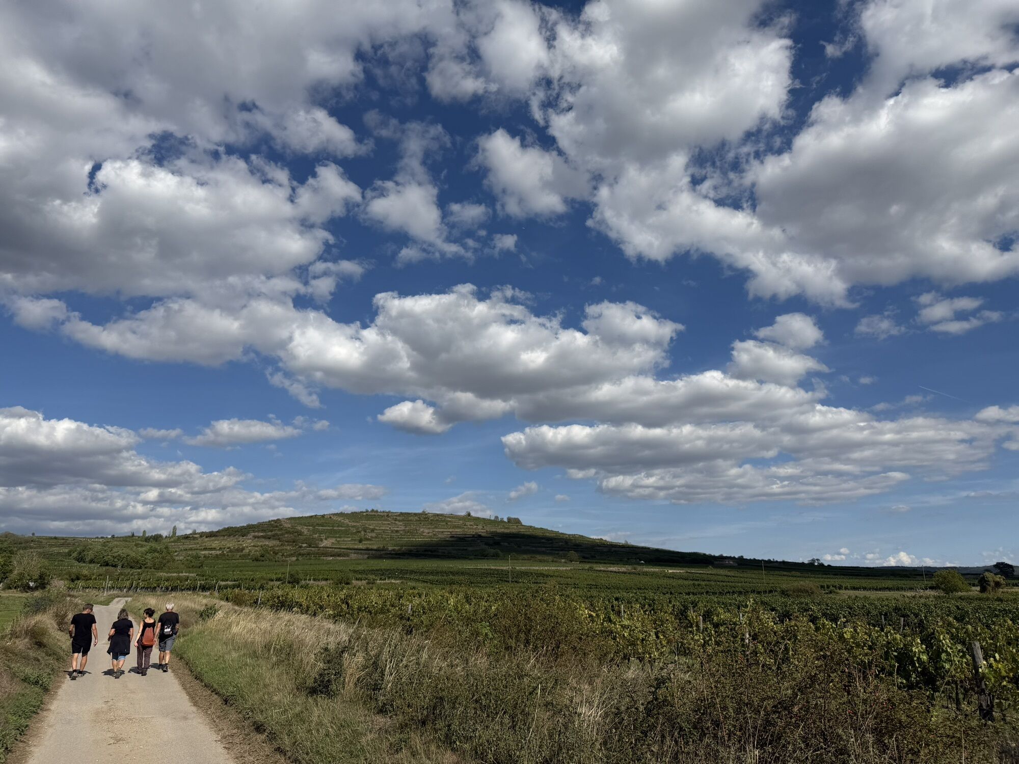
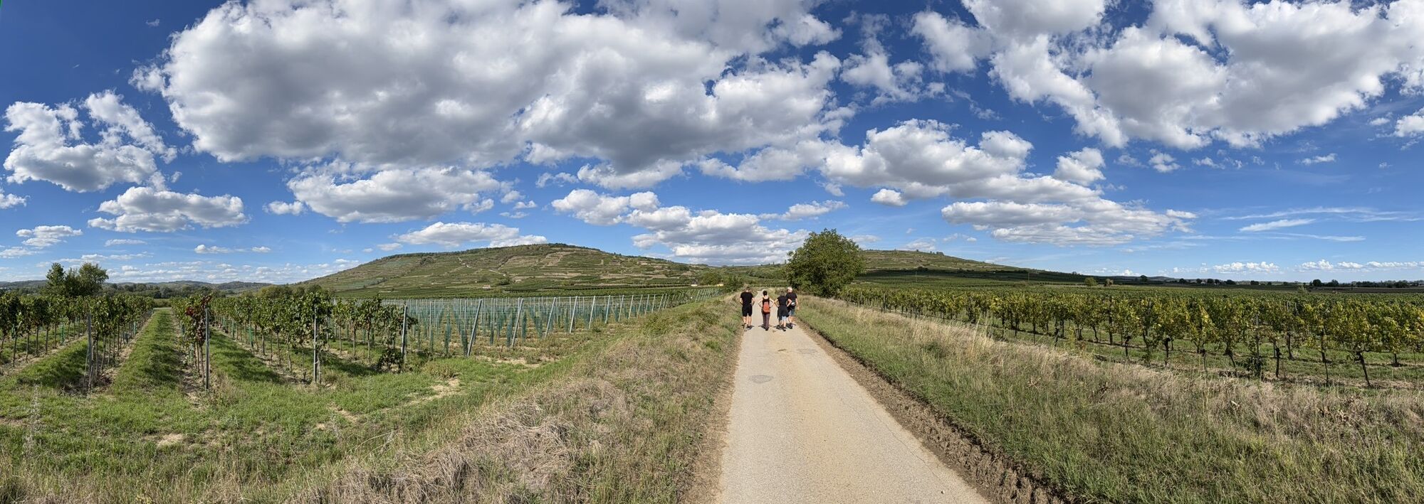
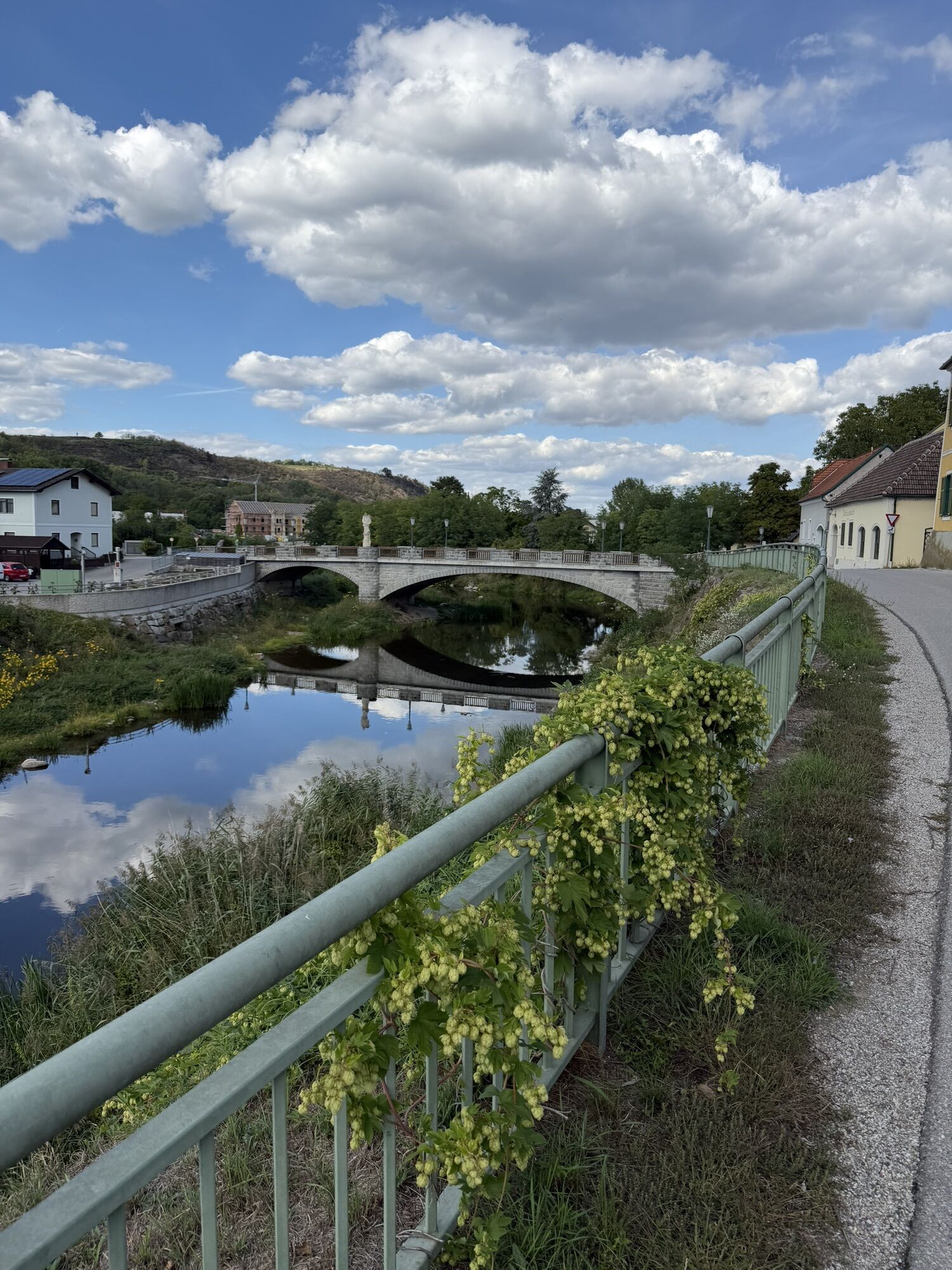
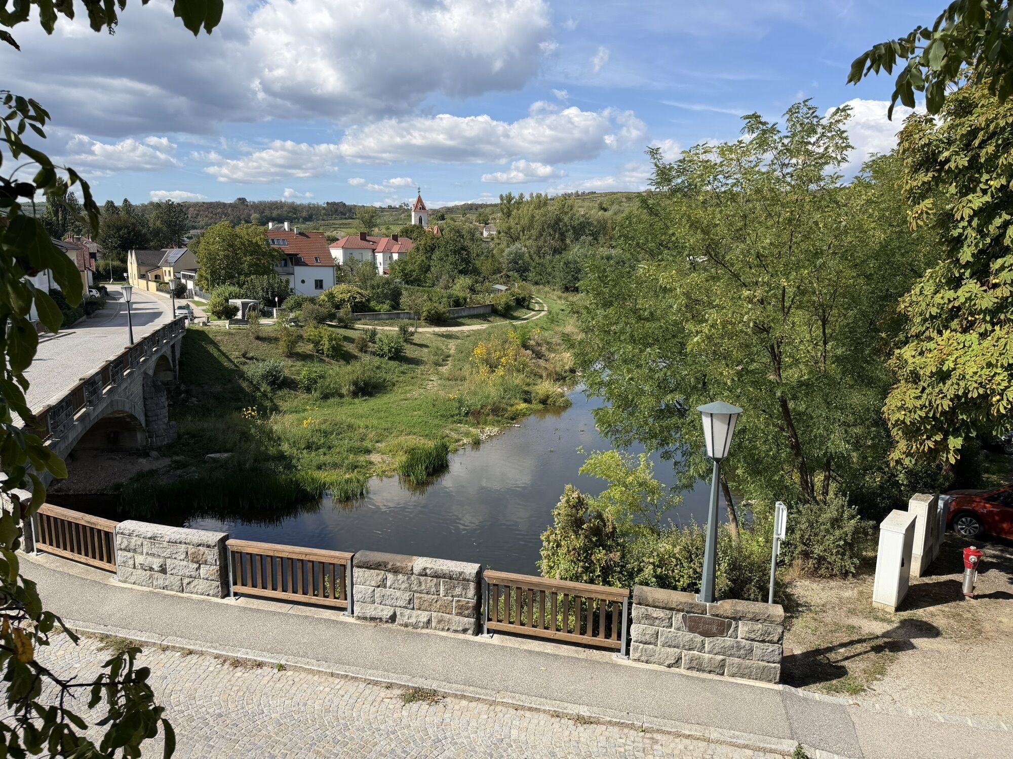
The Waldviertel top cycle route Kamp-Thaya-March Cycle Route (KTM) and the Manhartsberg Cycle Route can be combined into a beautiful circular tour in the lower Kamp Valley ("Kamptal" in German). This short...
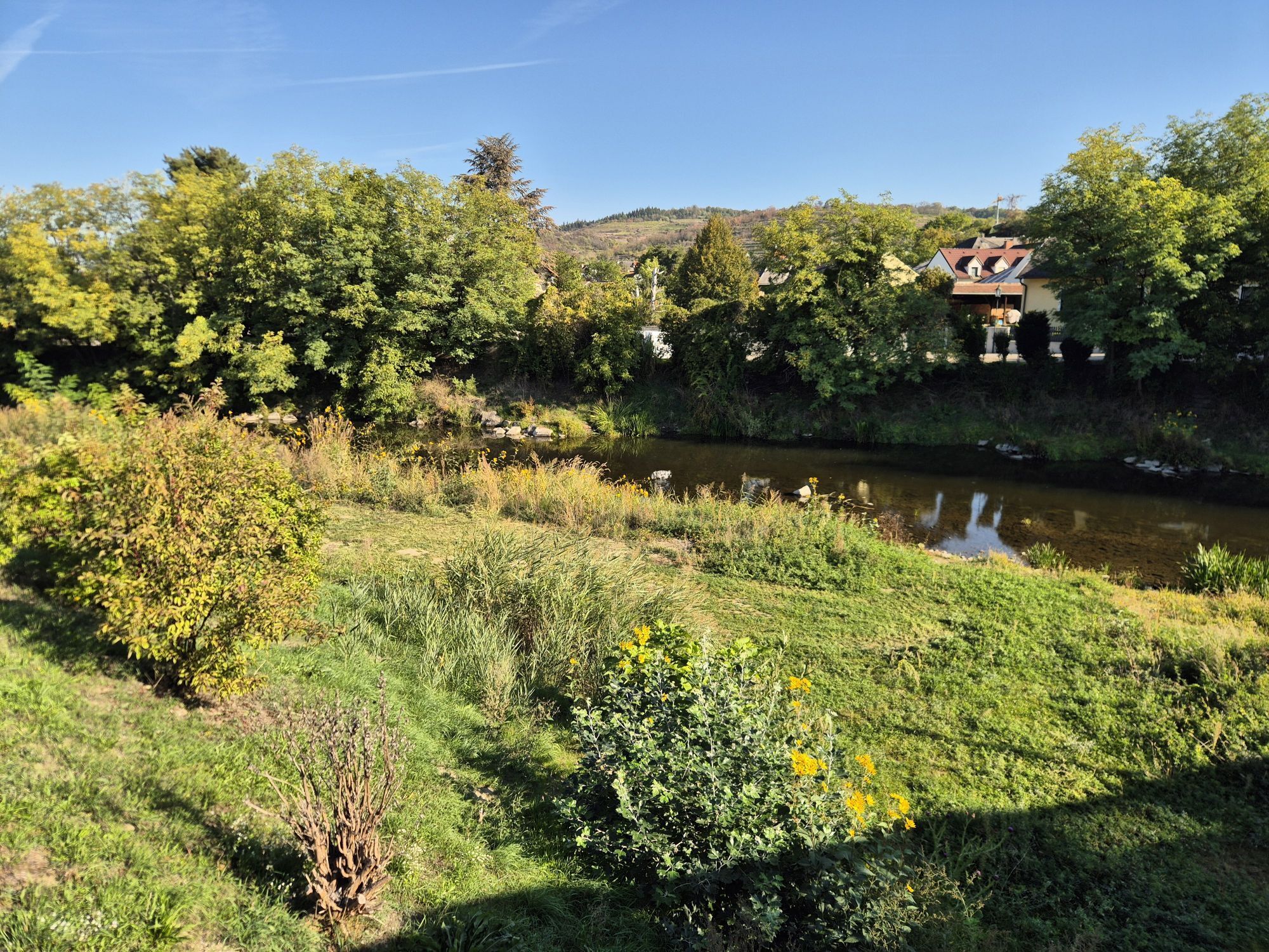
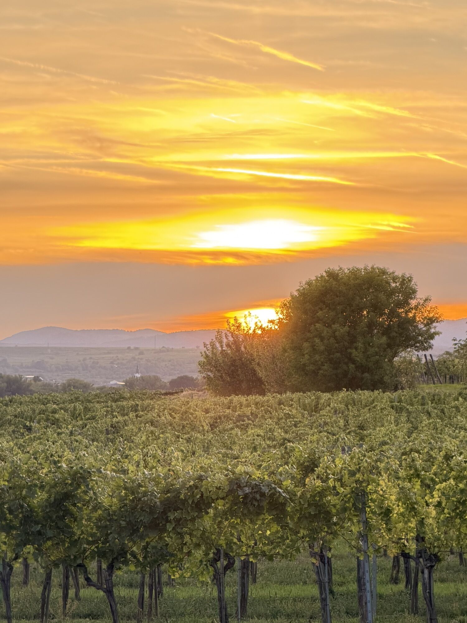
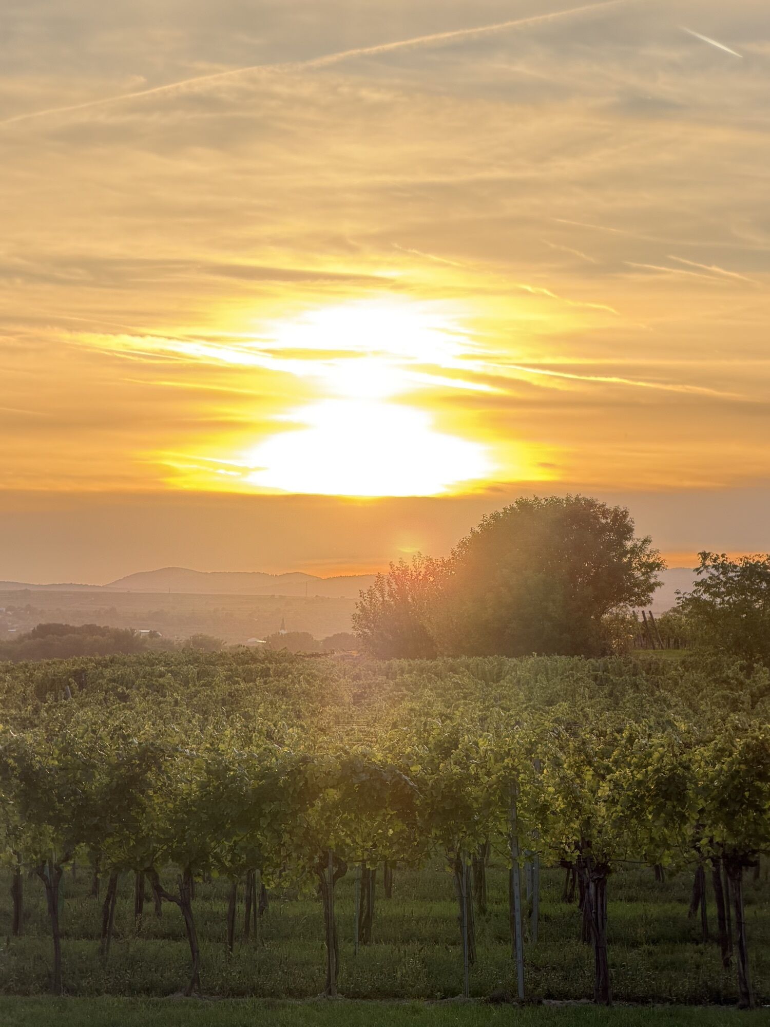
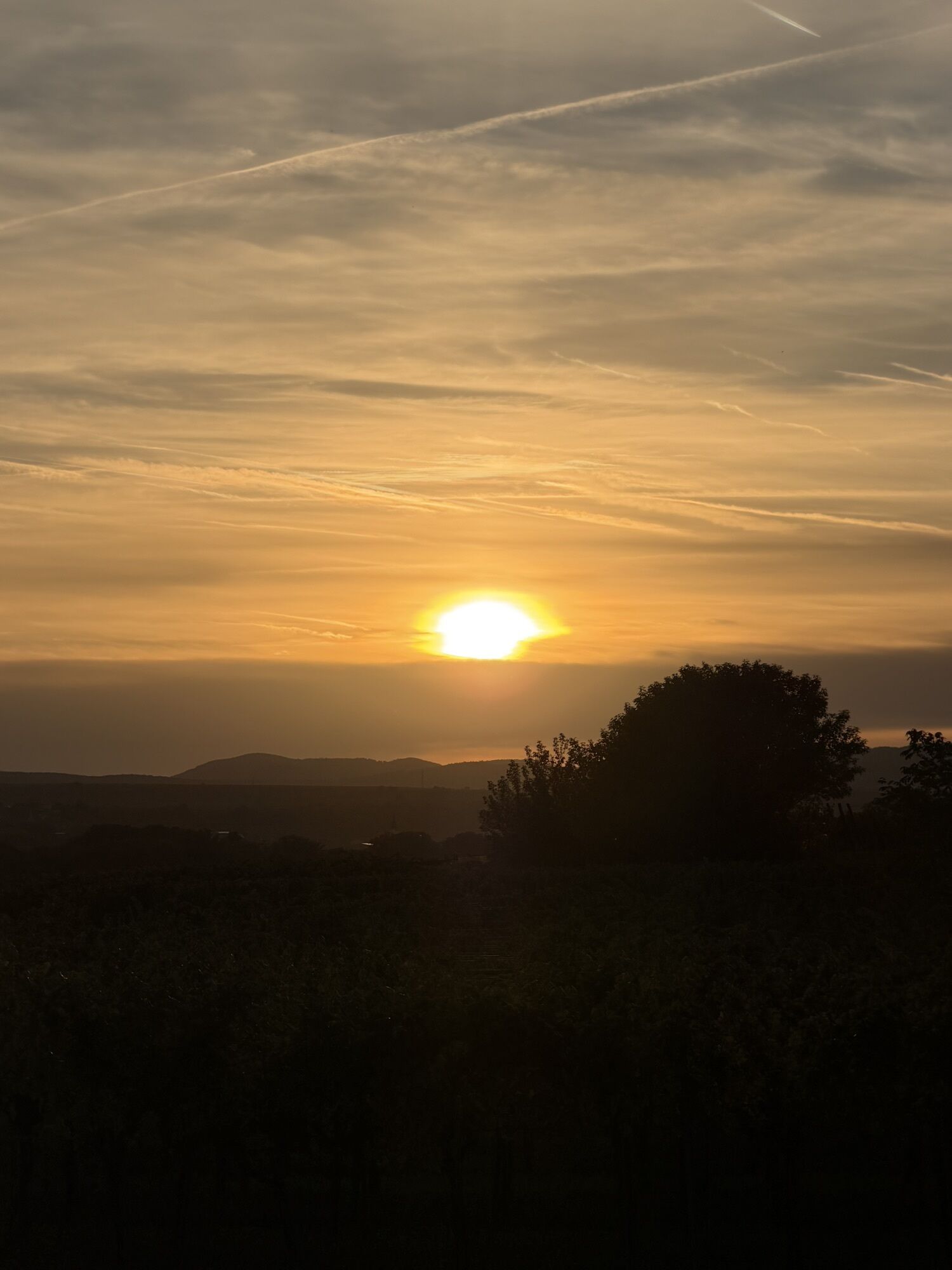
The Waldviertel top cycle route Kamp-Thaya-March Cycle Route (KTM) and the Manhartsberg Cycle Route can be combined into a beautiful circular tour in the lower Kamp Valley ("Kamptal" in German). This short section connects the two cycle routes between Zöbing and Straß.
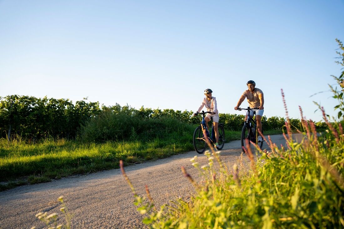
The combination of the two routes results in a 25 km circular tour. The Kamp-Thaya-March cycle route (KTM) leads in this section from Gobelsburg via Langenlois to Zöbing. The Manhartsberg cycle route leads through Straß, Engabrunn, Etsdorf, to Grafenegg Castle and via Hadersdorf to Gobelsburg, where the two cycle routes meet. The Kornplatz in Langenlois is a suitable starting and finishing point for the tour.
Both cycle routes and the connecting path are signposted in both directions.


From Vienna: Take the A22 Danube River Expressway toward Stockerau, continue on the S5 toward Krems until the Fels am Wagram exit, then take the B34 to Langenlois.
From the west: Take the Westautobahn A1 toward Vienna to St. Pölten, then continue on the S33 and B37 to Krems, and take the B218 to Langenlois.
Regular regional train service between Langenlois and Hadersdorf (connection to Vienna), Krems, and the Kamp Valley ("Kamp Valley" in German) (fahrplan.oebb.at).
Parking Lot P1 (Downtown) on Walterstraße or Parking Lot P2 (Downtown) on Kamptalstraße
Person responsible for the content of this tour
Waldviertel Tourism
Last updated: 21.10.2025

Obľúbené výlety v okolí
-
4,7
Welterbesteig Wachau 01: Krems-Dürnstein
svetlodiaľková pešia trasa 12,3 km -
4,4
Wachauer Marillenerlebnisweg, Krems-Angern
svetloTuristika 6,04 km -
4,7
Weinweg Langenlois - wohin ? in und um Wien
svetloTuristika 5,68 km -
4,9
Rundwanderung Reisperbachtal, Donauwarte & Schreckberg
strednáTuristika 8,89 km -
4,6
Der Weinskulpturenpfad auf dem Unteren Loibenberg
svetloTuristika 4,03 km -
4,8
Übers "Loamstückl" zur Wetterkreuzkirche
svetloTuristika 6,83 km -
4,7
Vinum Circa Montem - Rund um den Göttweiger Berg
strednáCyklistika 19,4 km -
4,3
Zwei Ruinen und ein Schloss
svetloTuristika 7,25 km -
4,2
Welterbesteig Wachau 14: Mautern-Krems
svetlodiaľková pešia trasa 3,89 km -
4,5
Gars am Kamp, Hirschbachrunde , Schimmelsprung und retour nach Unwetter 2024 Niederösterreich/Österreich
strednáTuristika 8,91 km
Turistika a stopovanie


Nenechajte si ujsť ponuky a inšpiráciu na ďalšiu dovolenku
Vaša e-mailová adresa bol pridaný do poštového zoznamu.





