


Pielachtal cycle path
Fotografie našich používateľov
-
 © Edgar2912Vytvorené dňa 19.04.2026
 -

 © Thomas SteinbichlerVytvorené dňa 19.05.2025
 -
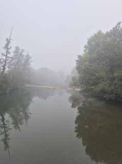
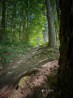
 © MimiVytvorené dňa 18.01.2026
 -

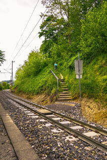
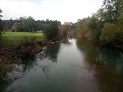
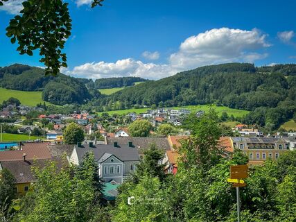
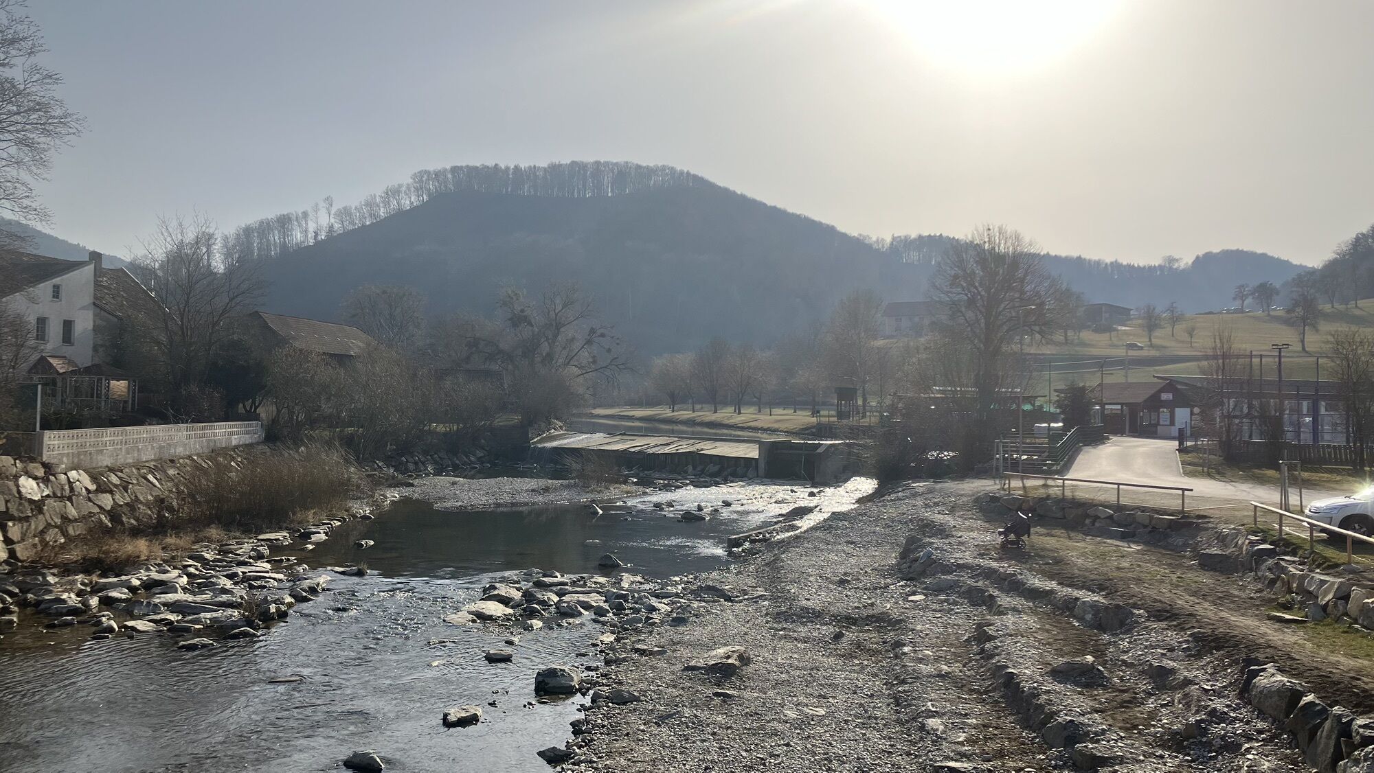
 © josef duermoserVytvorené dňa 18.01.2026
 -
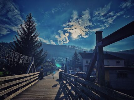
 © josef duermoserVytvorené dňa 18.01.2026
 -
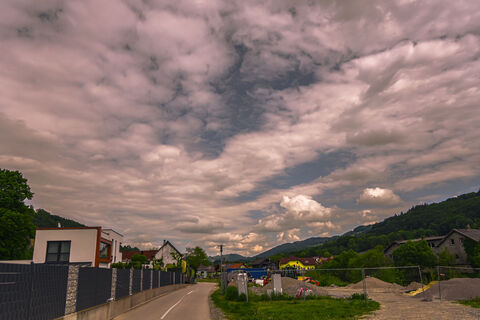
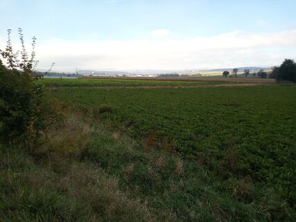
 © schwertVytvorené dňa 21.09.2025
 -
 © schwertVytvorené dňa 21.09.2025
 -
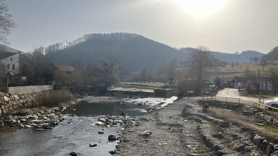
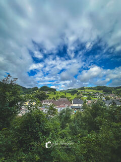
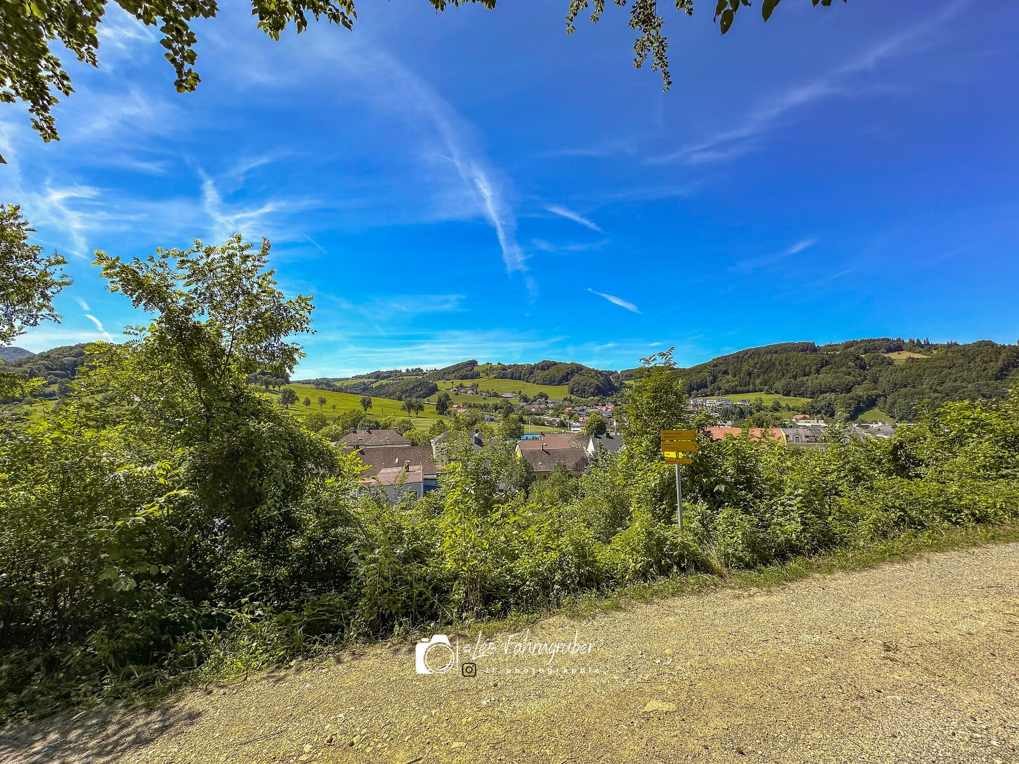
 © Leo FahrngruberVytvorené dňa 11.05.2025
 -
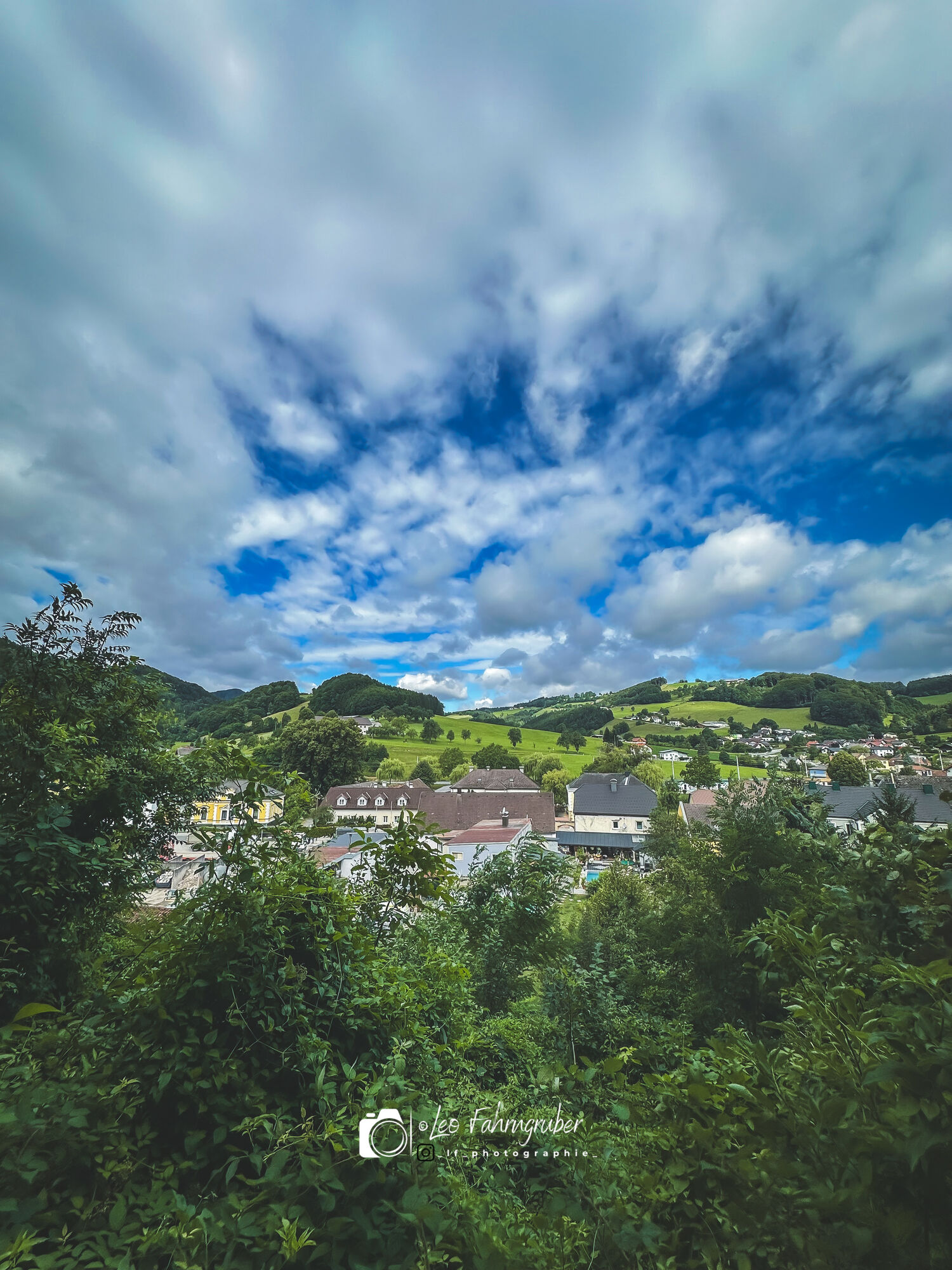
 © Leo FahrngruberVytvorené dňa 11.05.2025
 -
 © Christian KakuskaVytvorené dňa 07.03.2025
 -
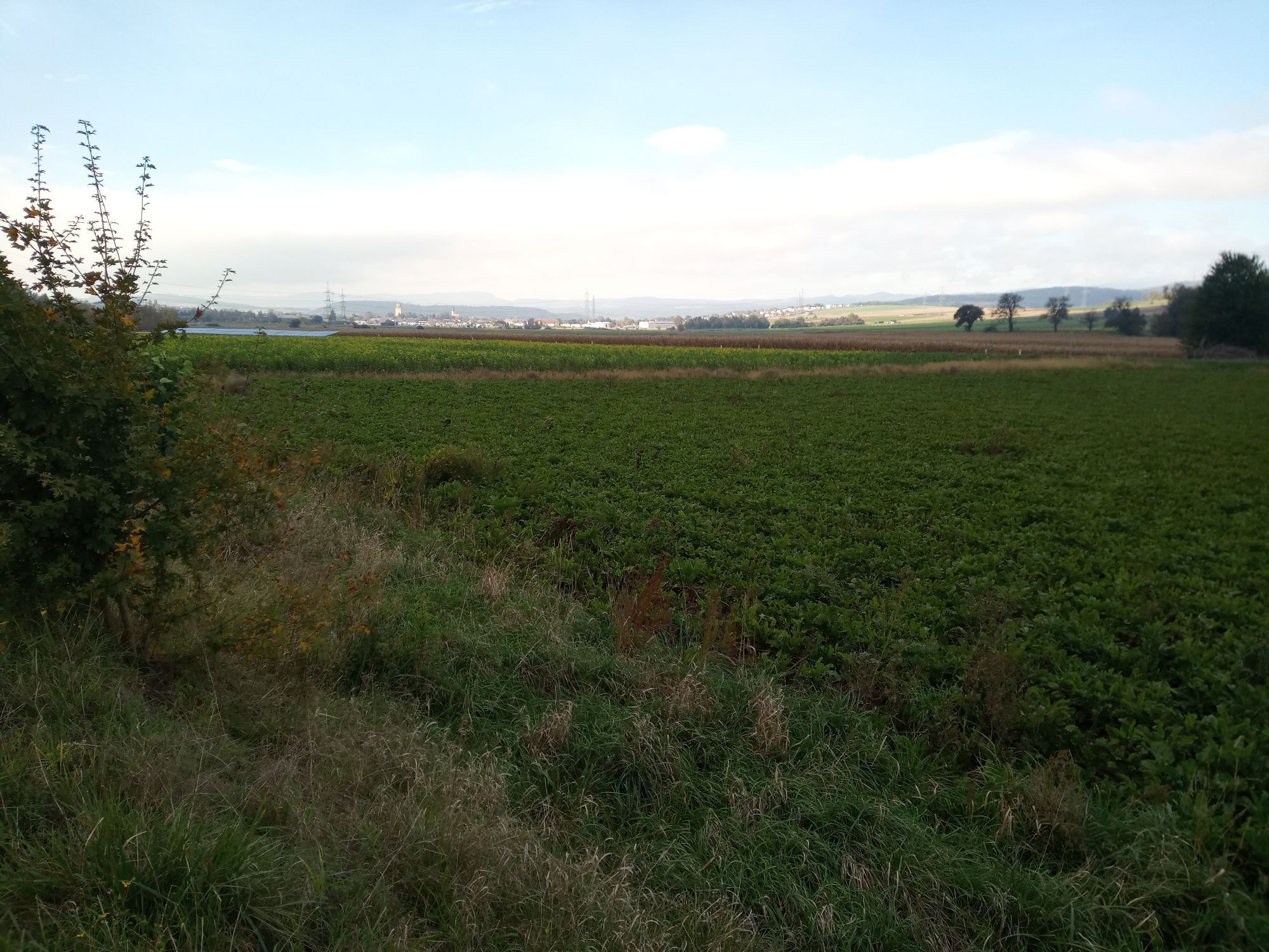
 © bremsradVytvorené dňa 08.10.2024
 -
 © bremsradVytvorené dňa 08.10.2024
 -
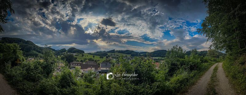
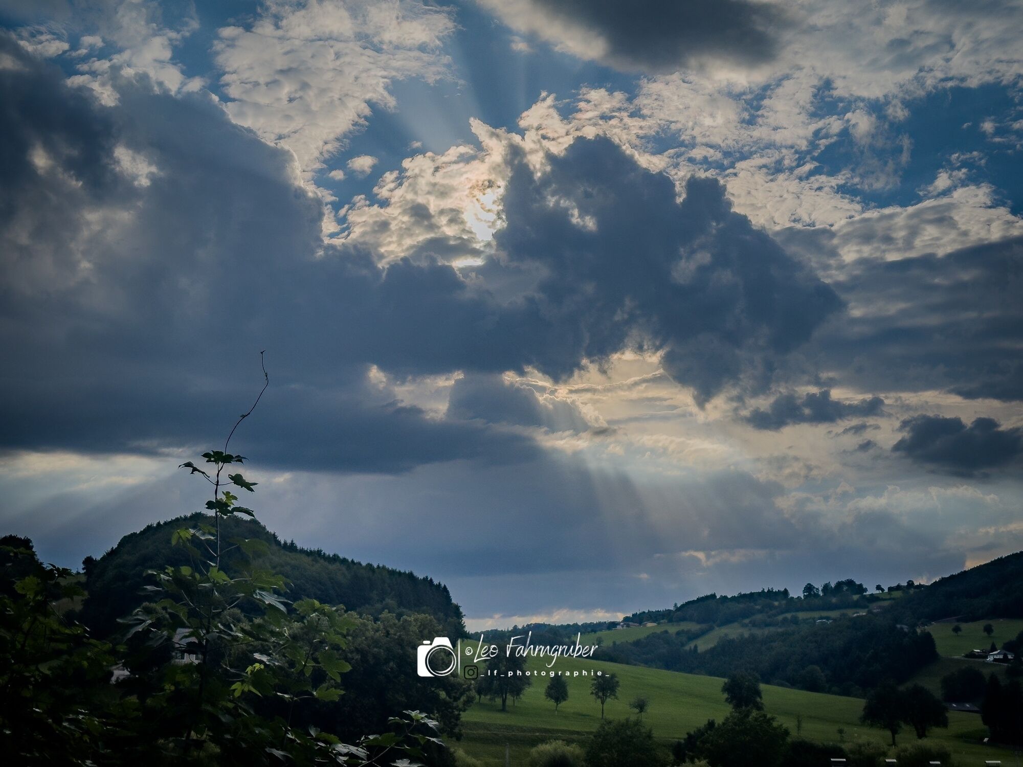
 © Leo FahrngruberVytvorené dňa 05.07.2024
 -
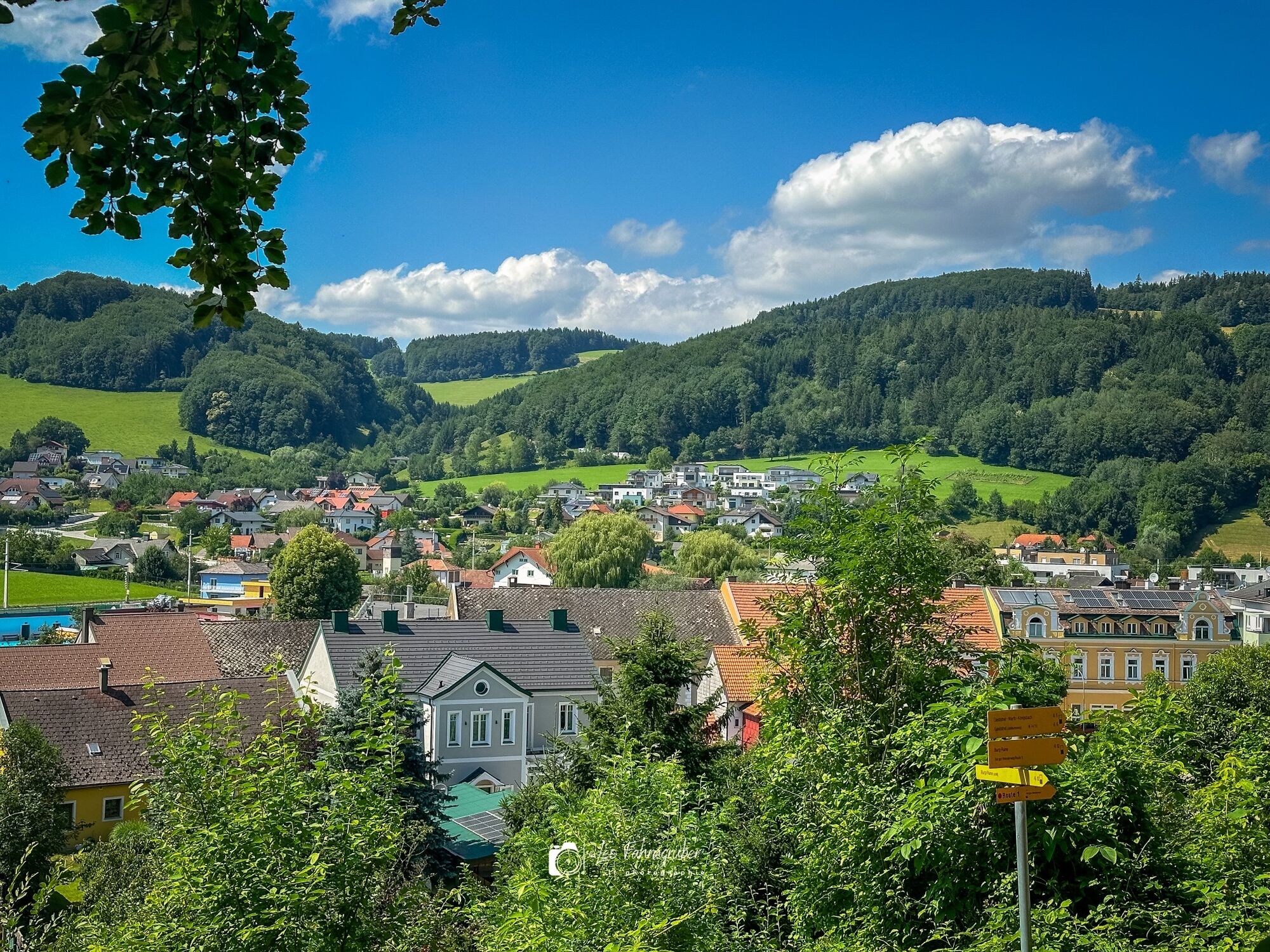
 © Leo FahrngruberVytvorené dňa 04.07.2024
 -
 © Leo FahrngruberVytvorené dňa 30.06.2024
 -
 © Leo FahrngruberVytvorené dňa 30.06.2024
 -
 © Leo FahrngruberVytvorené dňa 24.06.2024
 -
 © Leo FahrngruberVytvorené dňa 24.06.2024
 -
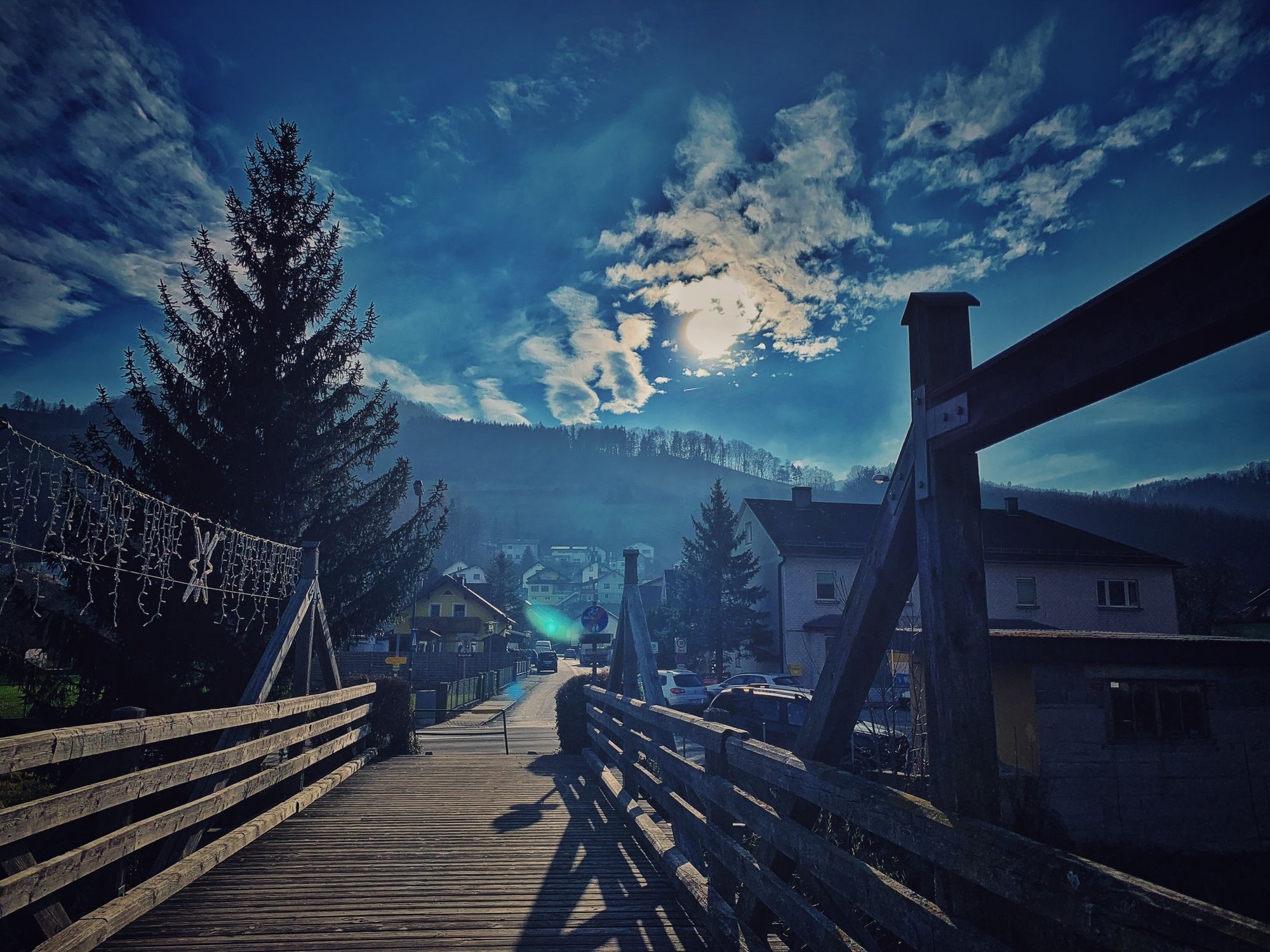
 © Leo FahrngruberVytvorené dňa 07.12.2020


The Pielach has carved its way over thousands of years and formed an incomparable pre-alpine valley. It has its source near Schwarzenbach, in the middle of the imposing Mostviertel mountain area, and babbles...
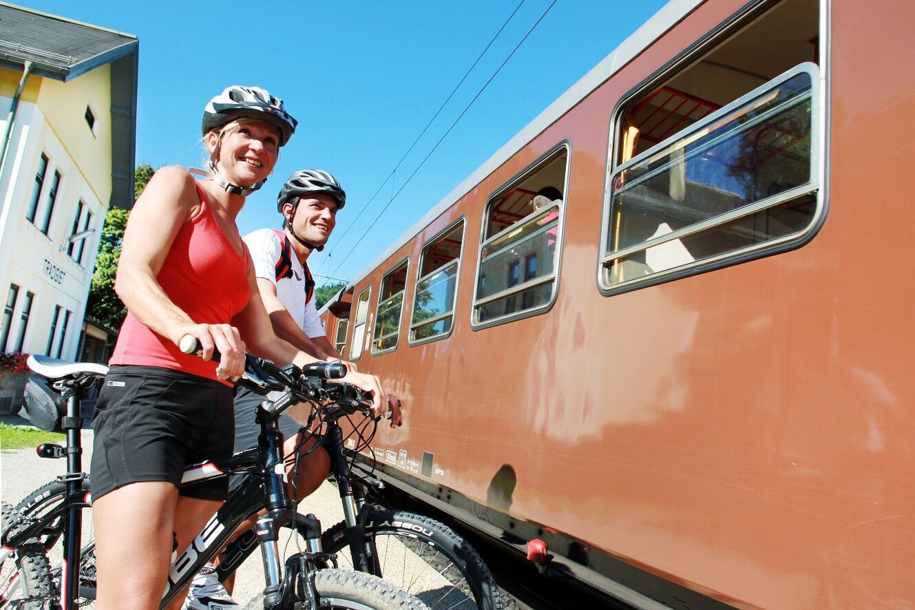
The Pielach has carved its way over thousands of years and formed an incomparable pre-alpine valley. It has its source near Schwarzenbach, in the middle of the imposing Mostviertel mountain area, and babbles merrily down into the land of rolling hills, where it becomes ever wider and calmer. After its 70-kilometer journey, it flows into the Danube at Melk. Two kilometers to the west, directly in Melk, begins the Pielach Valley Cycle Path, which comfortably opens up the romantic spots of the lower and middle Pielach Valley without too much difference in altitude. In the lower reaches in particular, the Pielach has been largely spared major regulation and hard engineering works and is still allowed to meander freely in places. Baffle slopes, sliding banks and gravel banks offer one of the last refuges for many endangered plants and animals. The middle Pielach Valley - also known as the Dirndl Valley and home to Cardinal König - offers views of a lively rural cultural landscape. From Ober-Grafendorf to Loich, the cycle path accompanies the famous Mariazell Railway and allows you to combine cycling and rail travel.

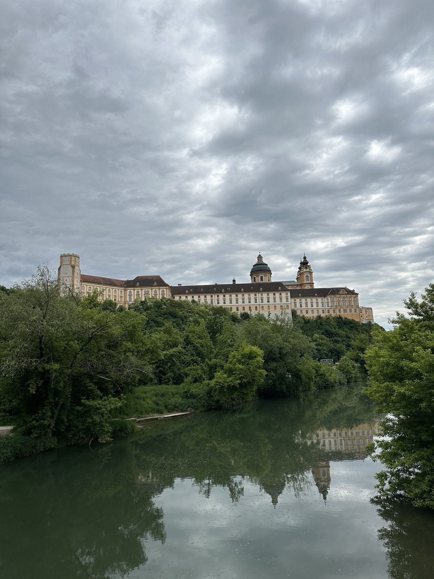
The Pielachtal cycle path starts at Melk Abbey, directly on the Danube cycle path. Up to Ober-Grafendorf, the cycle path mostly runs on low-traffic side roads through fields and meadows: the names of the villages along the route are: Spielberg, Pielach, Albrechtsberg, Loosdorf, Großsierning, Haunoldstein and Prinzersdorf.
Shortly before Völlerndorf, you cross the main road and then cycle along the Pielach to Ebersdorf, where there are leisure and dining opportunities at Lake Ebersdorf. From Ebersdorf, you continue along the Pielach to the underpass of the Pielach bridge in Ober-Grafendorf. From there, you can make a detour to the town centre (café, inns, shopping opportunities, etc.).
You then continue along the Pielach on the scenically attractive Pielach promenade. After one kilometre, you cross the Werksbach, and immediately afterwards turn left onto the asphalted path with the grass strip in the middle.
Before Wantendorf, the route sharply turns left along the Pielach, before Klangen the riverside path merges into the priority road, to which you attach after turning right on Pielachstraße through Klangen. Before the railway crossing, turn left into Mühlbachgasse. Directly on the route are the TEH Herb Demonstration Garden (always freely accessible), the Motor Skills Park (free access) and the Weinburg Climbing Centre.
At the next crossing, go straight ahead on the embankment path next to the Pielach, passing a small reservoir; then the route branches sharply right, passing through Doktor-Tschadek-Straße until you meet the tracks of the Mariazell Railway. Here you turn left and follow the rails to Grechtlerstraße, into which you turn right and then turn left onto the cycle path parallel to federal road 39. This leads you safely to Hofstetten-Grünau (gastronomy and accommodation).
In the built-up area, you cross the B39 again, through Linhartstraße to the railway crossing, then left along the tracks to just before the station, turn right at the emergency station and immediately left again, continuing along Baesbergstraße. After leaving Hofstetten-Grünau, you first cross Kilber Straße, then the railway. Now begins a nice, narrow cycle path, which leads, accompanied by the Pielach and the tracks of the Mariazell Railway towards Mainburg.
From here, continue past the Mainburg stop and alongside the railway to Rabenstein an der Pielach (gastronomy and accommodation). After passing under the road bridge, the cycle path bends up to it; a detour to cool off at the Pielachtal river and outdoor pool is recommended here. After crossing the Pielach at the cultural and community centre, the route merges through the narrow lane onto federal road in the town centre of Rabenstein an der Pielach. Worth seeing here is the baptismal church of Cardinal König.
Keeping right, you cycle a short distance on the B 39 and then turn onto the pedestrian and cycle path that runs parallel to the federal road. After a short time, you cross it, and from now on the cycle path runs 3.5 kilometres parallel to the federal road. Shortly after the former Lindenhof pension, you leave the federal road and turn right onto the footbridge over the Pielach. After the bridge, keep left and reach Kirchberg via the Cardinal-König-Weg.
Those who want to enjoy a view of Kirchberg from above turn shortly before the town centre (before the adventure pool) from Stolzgasse onto "Am Kirchenberg" and reach the viewing platform on Kirchenberg after a short ascent, located directly next to the parish church of Kirchberg an der Pielach. Visit the Skywalk, the Cardinal König bust, and one of the local businesses.
In the centre of Kirchberg, you then cross the Pielach and the federal road. First, follow Bahnhofstraße, turn into Poststraße and pass through the courtyard of the castle to Turmweg, at the end of which you cross the railway and follow the tracks. After another crossing of the rails, the cycle path moves away from the railway line; before Mühlhof bridge, turn left. Cycling alongside the Pielach, you reach Loich station in Dobersnigg and the end of the cycle path (Pielachtal cider tavern).
From here, you can cycle on the state road into the village of Loich – distance = 2 km, then another 2 km to Hammerlmühle.
No special requirements for the bikes. Helmets are mandatory for children under 12 years.
The Pielachtal cycle path crosses the federal road several times. Please observe the road traffic regulations! Groups with children are advised to dismount and push the bike together when crossing streets.
West motorway A1, Melk exit
Starting point: Melk Abbey, directly on the Danube cycle path
In the upper section, the cycle path can be combined with the Mariazell Railway. The destination is Loich station.
Parking in Melk in the Wachauarena / Hubbrücke area
Mostviertel Tourism GmbH
Töpperschloss Neubruck, Neubruck 2/10, 3270 Scheibbs
T +43/7482/204 44, F +43/7482/204 44-87
info@mostviertel.at,www.mostviertel.at/radfahren
Stop in the Dirndl valley at one of the numerous gastronomy establishments along the route and refresh yourself with a glass of dirndl juice.


Obľúbené výlety v okolí
-
4,3
Kaiserkogel mit Start und Ziel in Eschenau
svetloTuristika 10,2 km -
4,4
Rundweg Ochsenburgerhütte
svetloTuristika 7,60 km -
5,0
Welterbesteig Wachau 08: Emmersdorf-Melk
svetlodiaľková pešia trasa 9,90 km -
4,8
Kaiserkogel
svetloTuristika 6,03 km -
4,0
Geisbühel-Runde
svetloTuristika 13 km -
4,6
Gaisbühel über Jubiläumsweg
svetloTuristika 12,0 km -
5,0
Gipfelkreuz-Rundwanderweg - Loosdorf
svetloTuristika 5,45 km -
4,0
Welterbesteig Wachau 09: Melk-Aggsbach Dorf
svetlodiaľková pešia trasa 16,9 km -
5,0
Ochsenburger Hütte / Rudolfshöhe
svetloTuristika 6,10 km -
4,2
Hiesberg Gipfelkreuz Rundweg
svetloTuristika 7,38 km

Turistika a stopovanie


Nenechajte si ujsť ponuky a inšpiráciu na ďalšiu dovolenku
Vaša e-mailová adresa bol pridaný do poštového zoznamu.