


Waldviertel Radroute
Fotografie našich používateľov
-
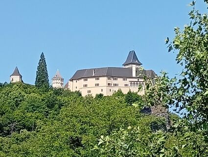
 © Andrea Opitz-JandrisitsVytvorené dňa 10.05.2026
 -
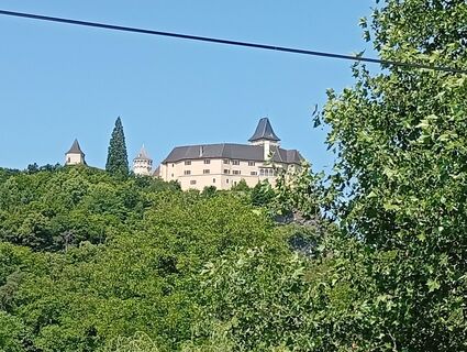
 © guenvollVytvorené dňa 21.09.2025
 -
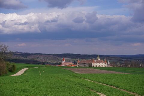
 © David HinczizaVytvorené dňa 20.09.2025
 -
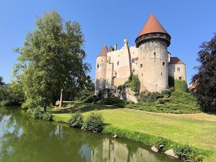
 © David HinczizaVytvorené dňa 20.09.2025
 -

 © Jeannette ZainzingerVytvorené dňa 13.07.2025
 -
 © Jeannette ZainzingerVytvorené dňa 13.07.2025
 -
 © Jeannette ZainzingerVytvorené dňa 13.07.2025
 -
 © Wolfgang ZechVytvorené dňa 13.06.2025
 -
 © Wolfgang ZechVytvorené dňa 13.06.2025
 -
 © Wolfgang ZechVytvorené dňa 13.06.2025
 -
 © Wolfgang ZechVytvorené dňa 13.06.2025
 -
 © Walter KöllnerVytvorené dňa 05.04.2025
 -
 © David HinczizaVytvorené dňa 04.09.2024
 -
 © David HinczizaVytvorené dňa 04.09.2024
 -
 © David HinczizaVytvorené dňa 04.09.2024
 -
 © lydiakVytvorené dňa 18.09.2023
 -
 © lydiakVytvorené dňa 18.09.2023
 -
 © Wörni68Vytvorené dňa 14.08.2023
 -

 © MaggikVytvorené dňa 14.01.2023
 -
 © daRobVytvorené dňa 31.12.2021
 -
 © Stephane CappellaroVytvorené dňa 03.05.2026
 -
 © Stephane CappellaroVytvorené dňa 03.05.2026
 -
 © Stephane CappellaroVytvorené dňa 03.05.2026
 -
 © Stephane CappellaroVytvorené dňa 03.05.2026
 -
 © Stephane CappellaroVytvorené dňa 03.05.2026
 -
 © George50Vytvorené dňa 19.04.2026
 -
 © josef duermoserVytvorené dňa 18.04.2026
 -
 © josef duermoserVytvorené dňa 17.04.2026
 -
 © Bernadette ErlaVytvorené dňa 21.01.2026
 -
 © Bernadette ErlaVytvorené dňa 21.01.2026
 -
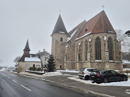 © josef duermoserVytvorené dňa 14.01.2026
 -
 © josef duermoserVytvorené dňa 14.01.2026
 -
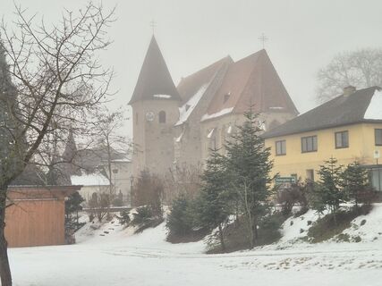
 © scotty51Vytvorené dňa 28.12.2025
 -
 © scotty51Vytvorené dňa 28.12.2025
 -
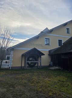
 © Marianna GlarcherVytvorené dňa 20.12.2025
 -
 © Marianna GlarcherVytvorené dňa 20.12.2025
 -
 © Marianna GlarcherVytvorené dňa 20.12.2025
 -
 © George50Vytvorené dňa 07.12.2025
 -
 © Jackson M. FrischaufVytvorené dňa 23.11.2025
 -
 © Wilfried griesserVytvorené dňa 24.10.2025
 -
 © zirberlVytvorené dňa 05.10.2025
 -
 © Helmut SchellmannVytvorené dňa 04.10.2025
 -
 © Helmut SchellmannVytvorené dňa 04.10.2025
 -
 © Helmut SchellmannVytvorené dňa 04.10.2025
 -
 © Helmut SchellmannVytvorené dňa 04.10.2025
 -
 © zirberlVytvorené dňa 01.10.2025
 -
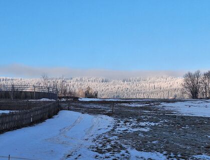
 © zirberlVytvorené dňa 29.09.2025
 -
 © zirberlVytvorené dňa 29.09.2025


Please note: The route is currently being re-signposted and will only be accessible from summer 2026! (Status: 17.03.2026)
If you really want to experience the Waldviertel, the best way to discover the...
Please note: The route is currently being re-signposted and will only be accessible from summer 2026! (Status: 17.03.2026)
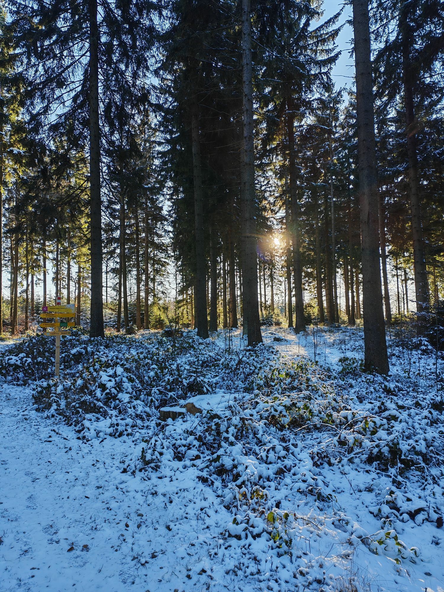
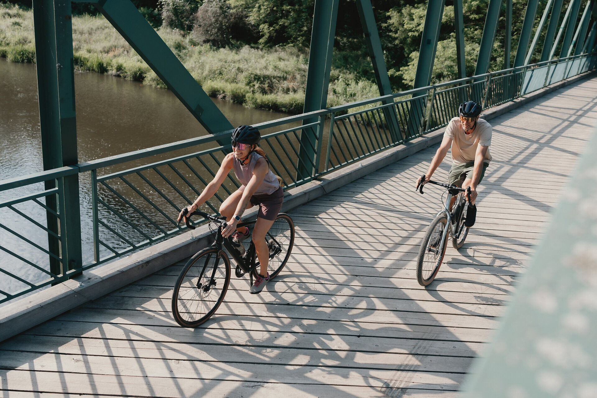
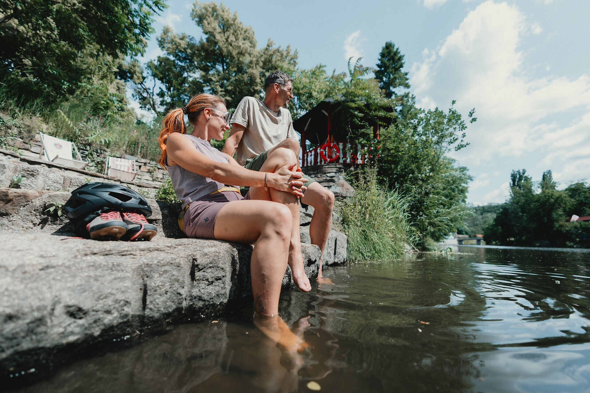
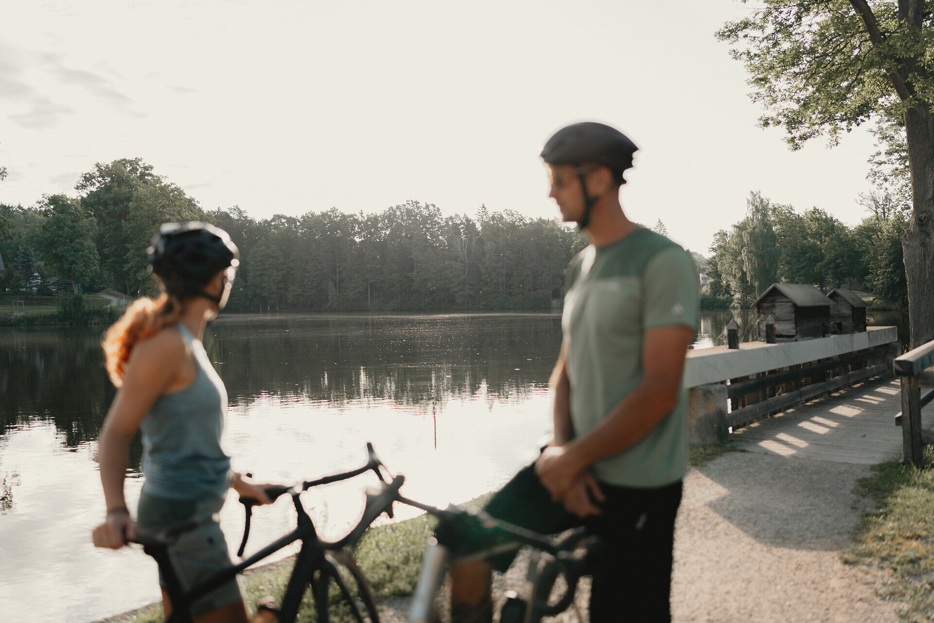
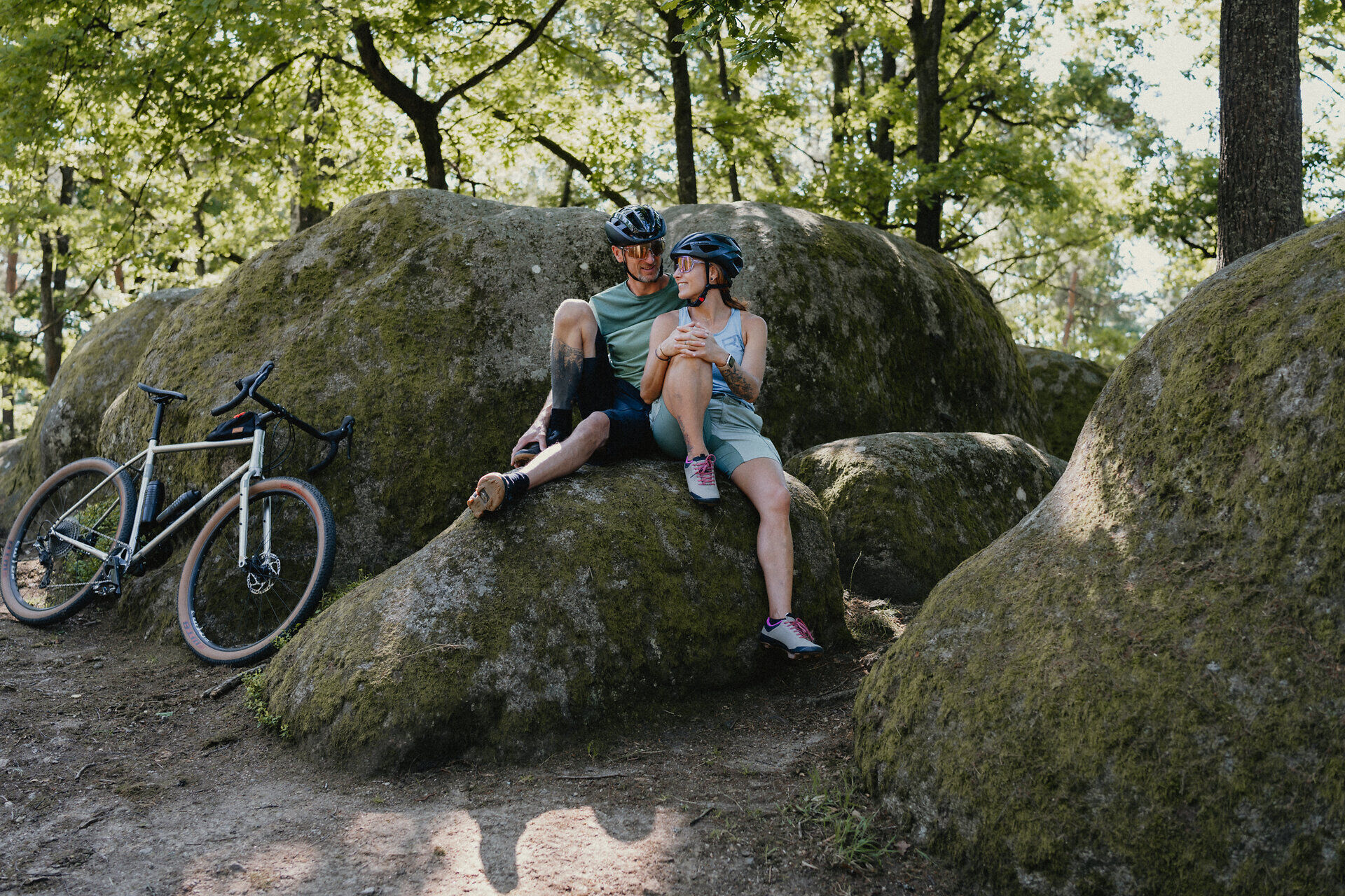
If you really want to experience the Waldviertel, the best way to discover the region is on two wheels - all the way around. This is exactly what the Waldviertel Cycle Route offers: an approx. 365-kilometre circular tour with more than 4,000 meters of elevation gain. As a stage tour over five to seven days, it offers a sporting challenge, but rewards you with particularly intense experiences of nature.
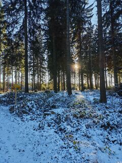
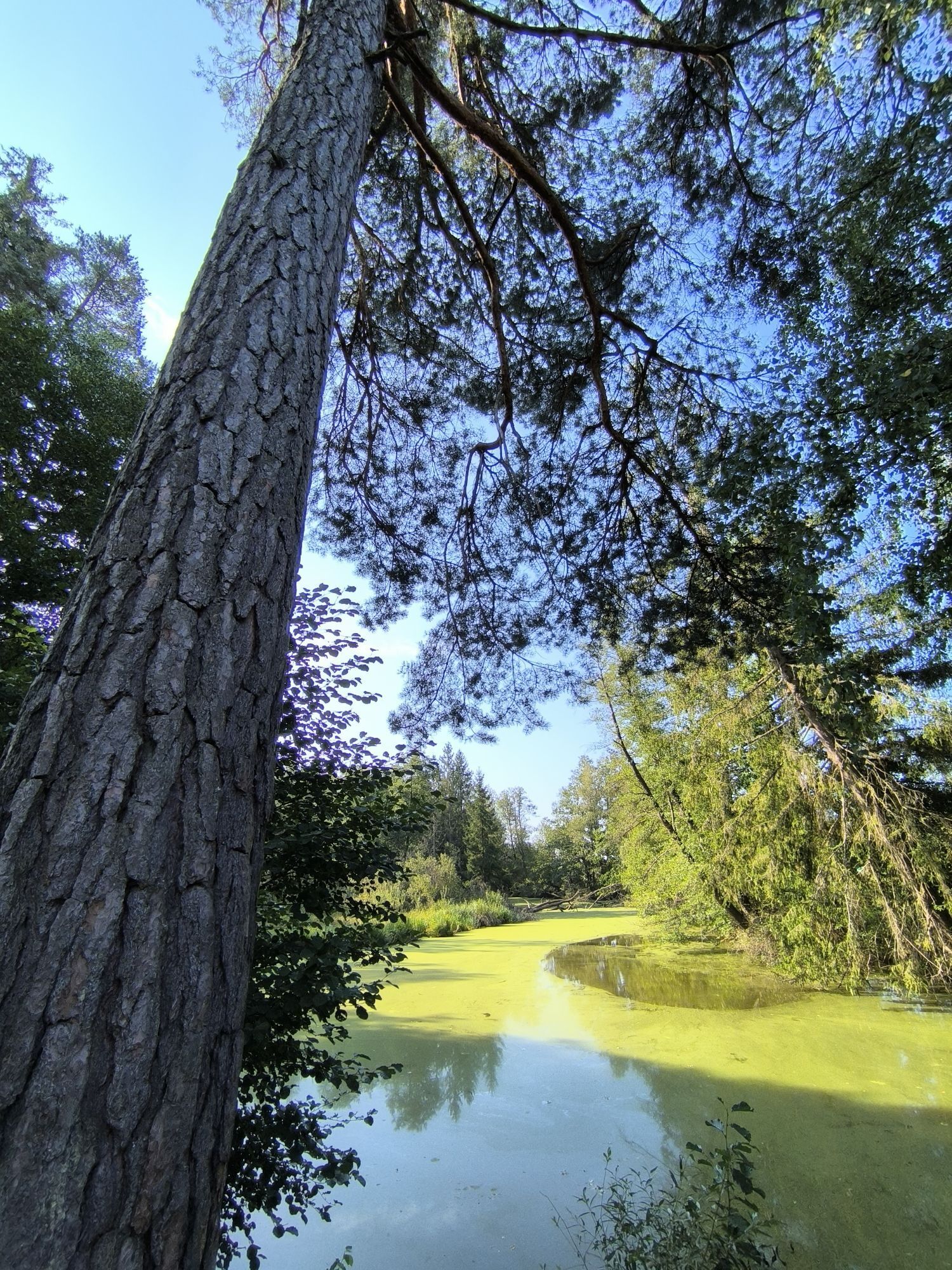
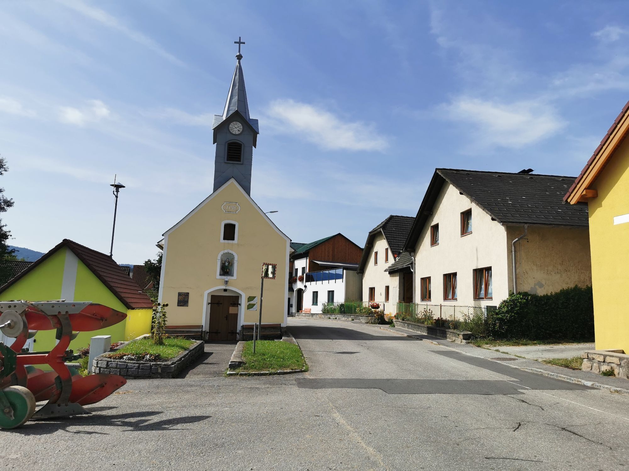
Dense forests, clear air and quiet paths characterize the landscape and create a special atmosphere. These characteristics can also be felt along the large Waldviertel cycle route. The route is signposted in both directions so that the starting point, direction of travel and daily stages can be chosen flexibly.
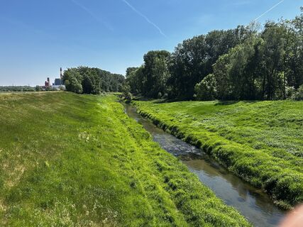
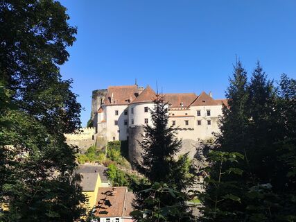
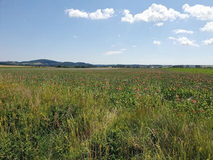
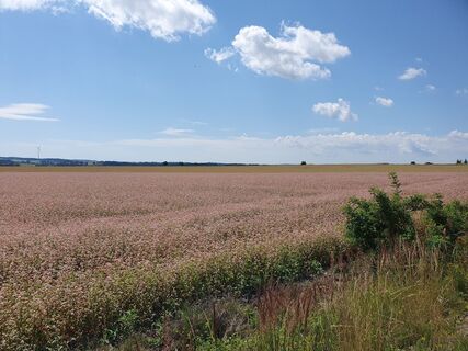
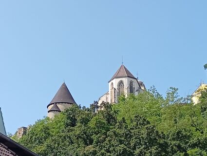
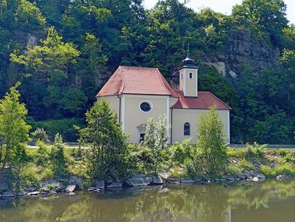
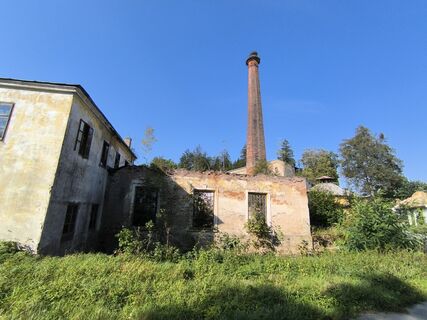
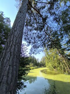
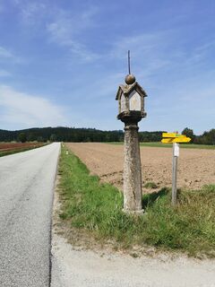
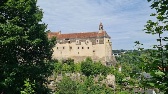
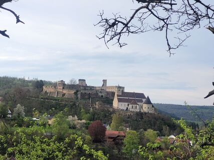
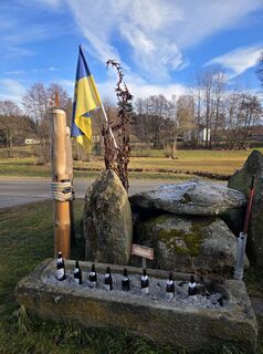
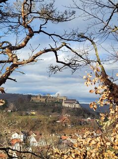
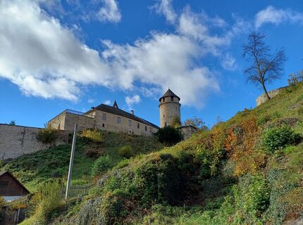
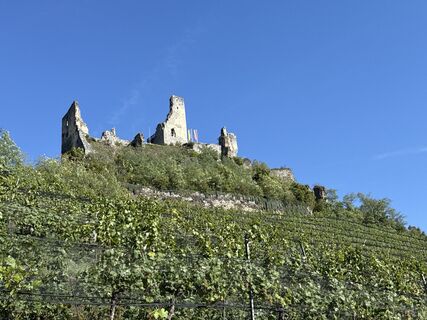
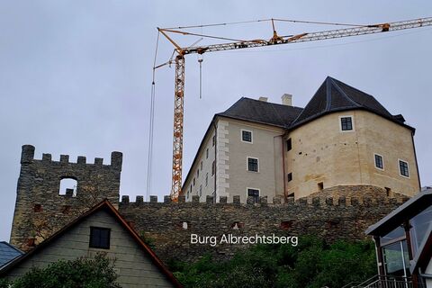
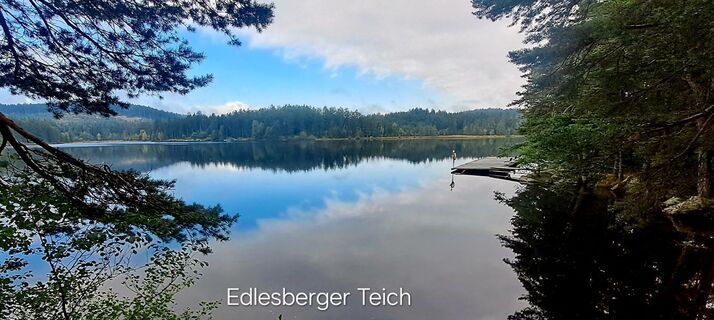
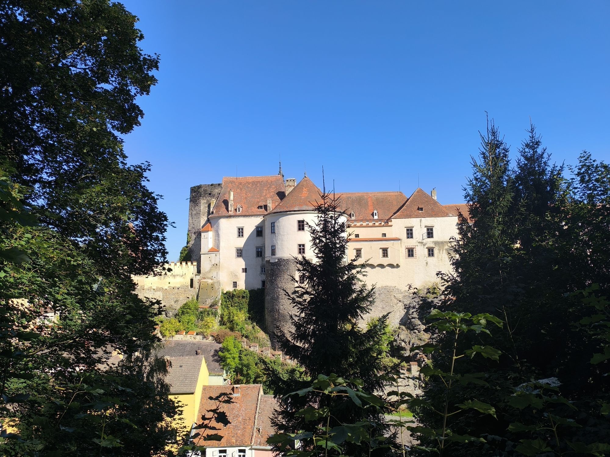
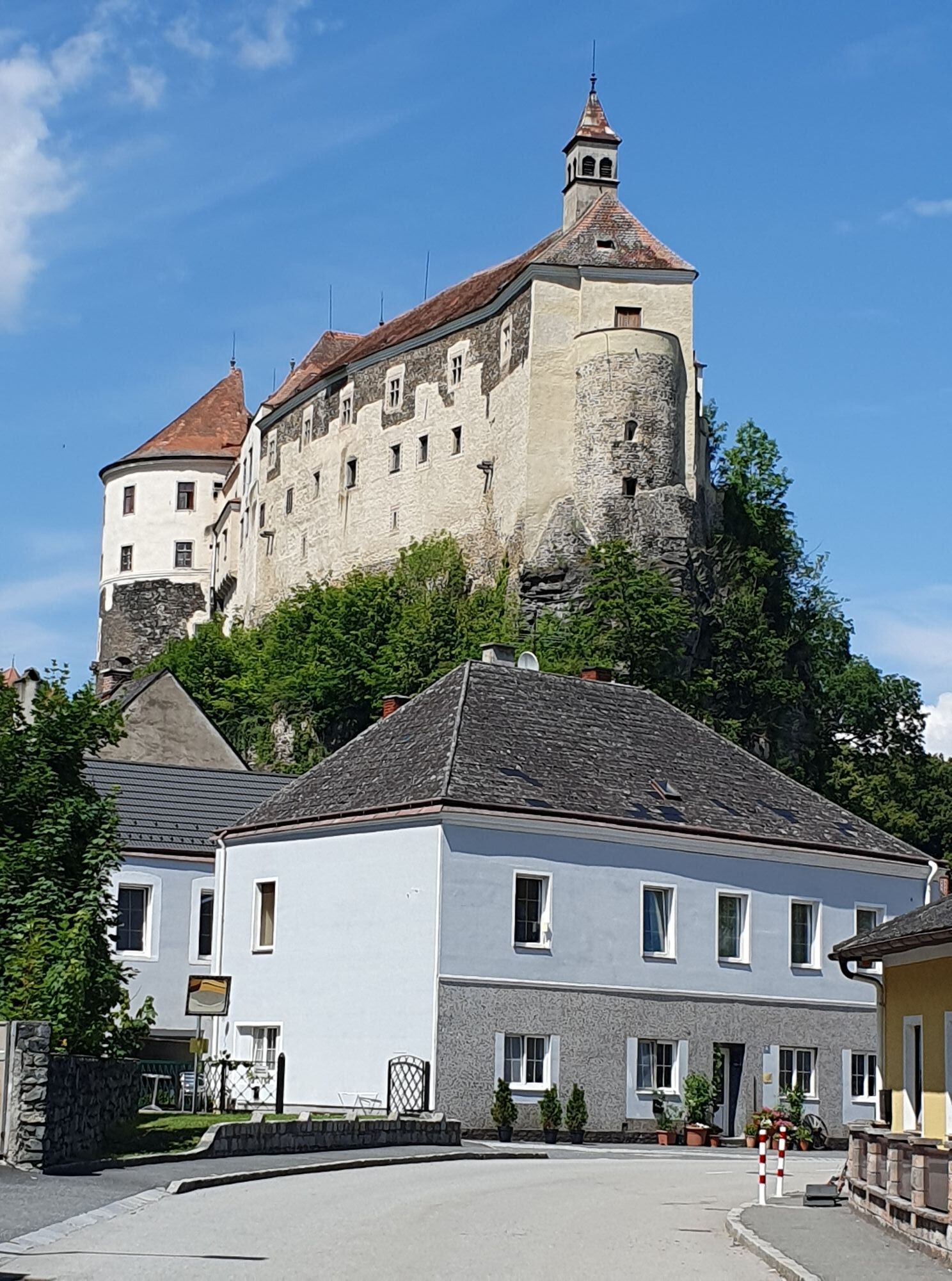
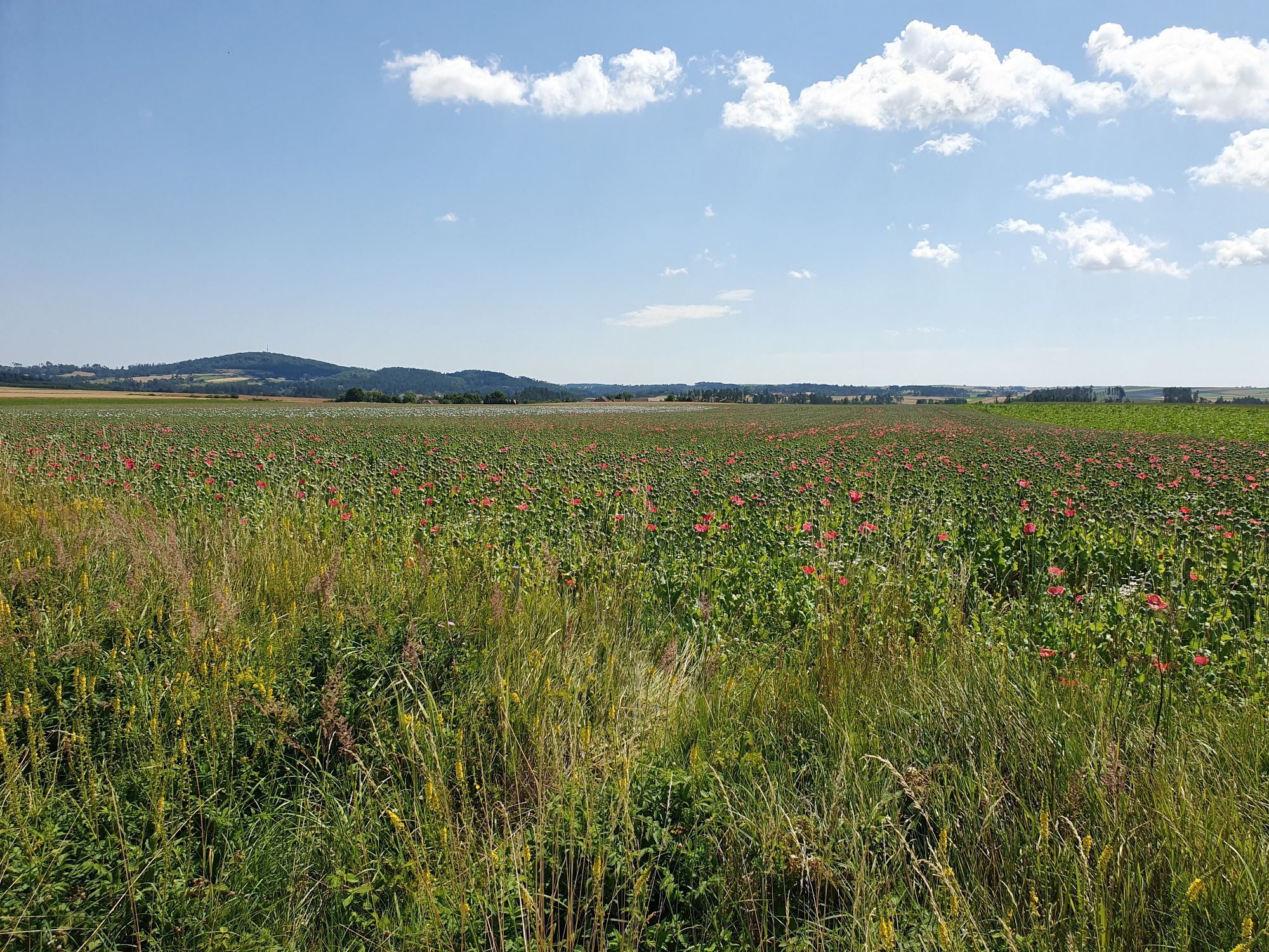
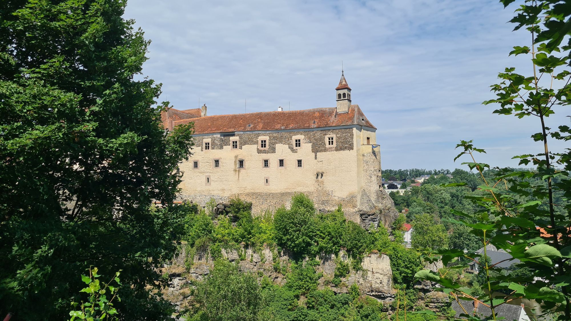
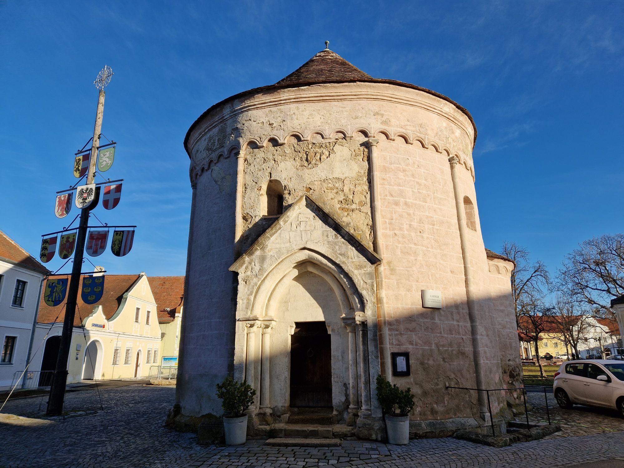
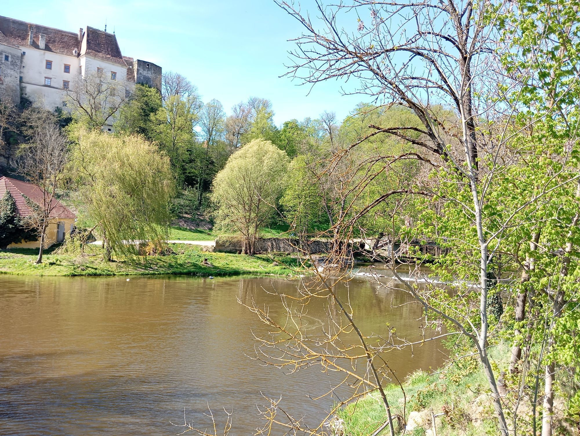
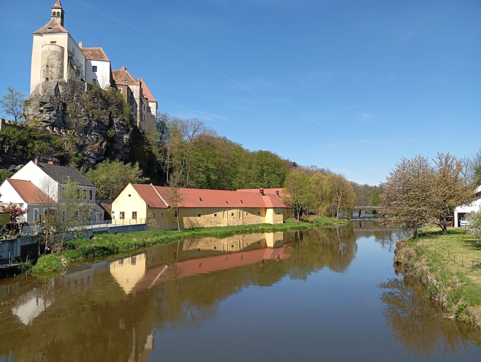
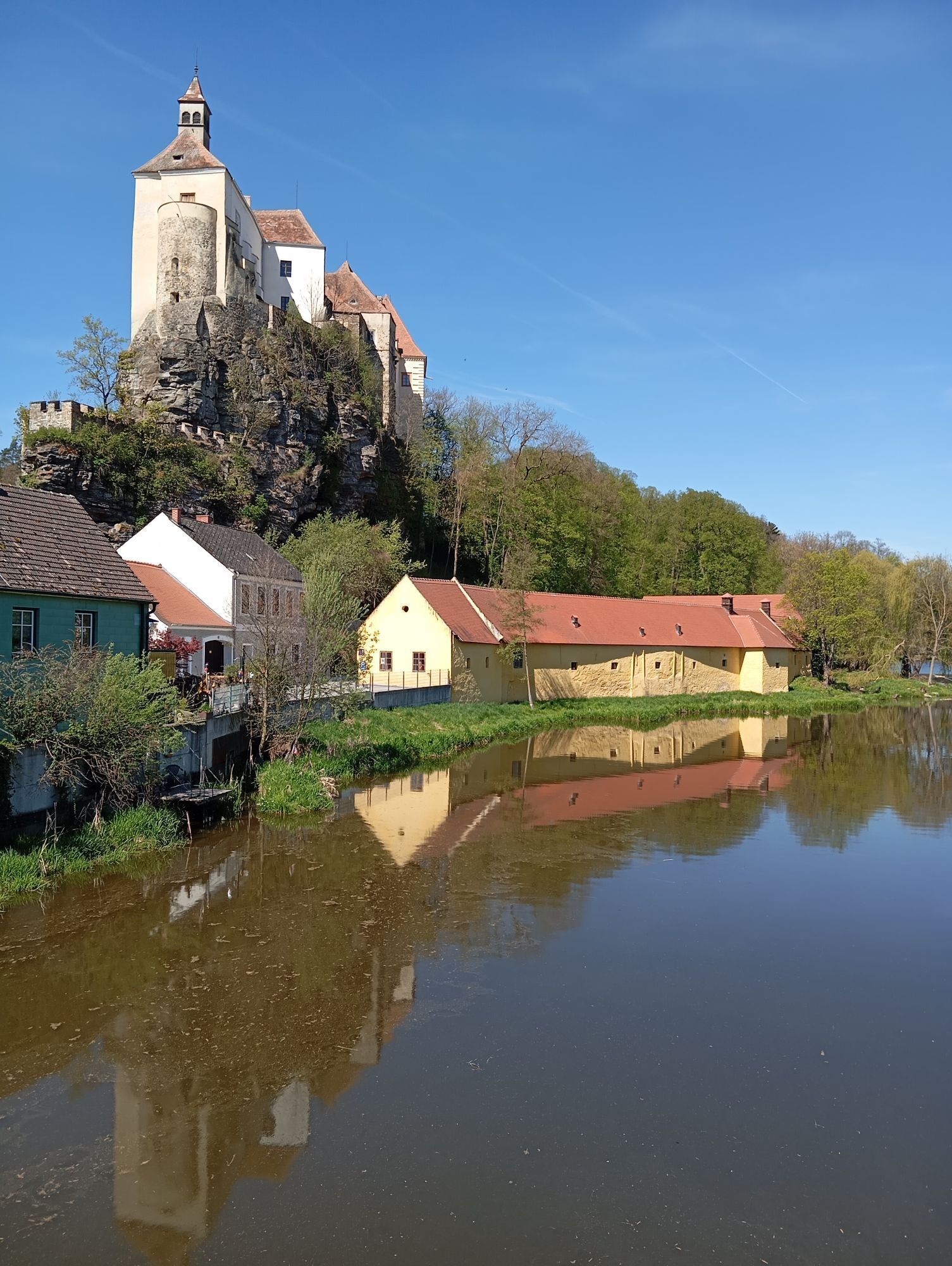
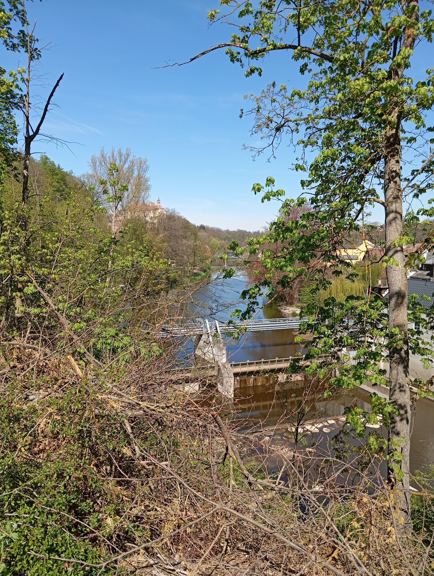
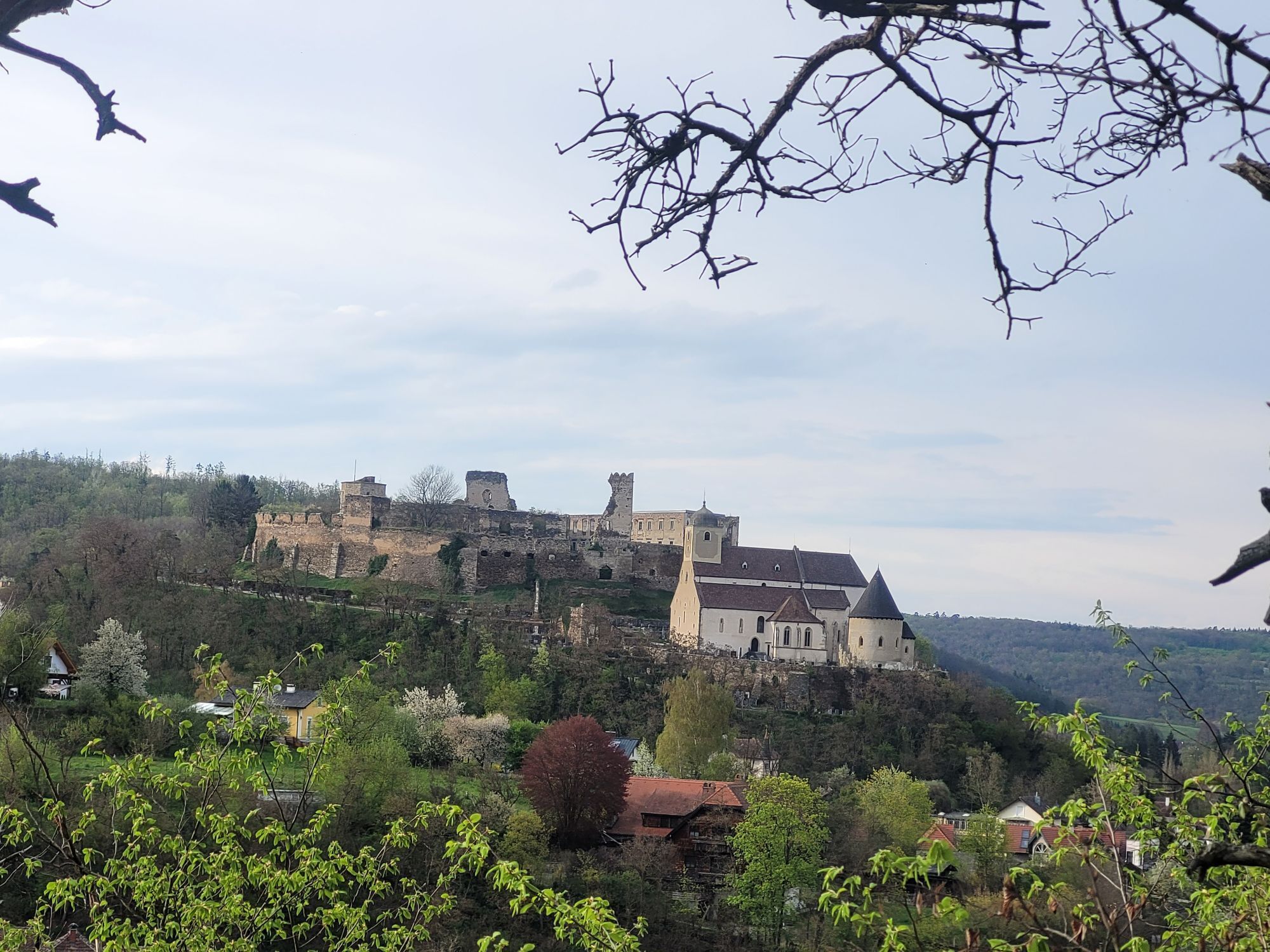
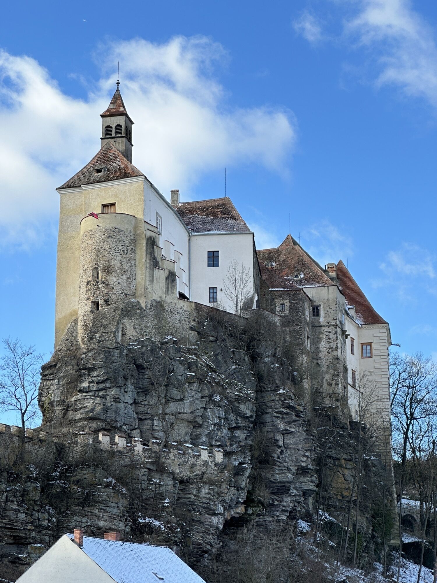
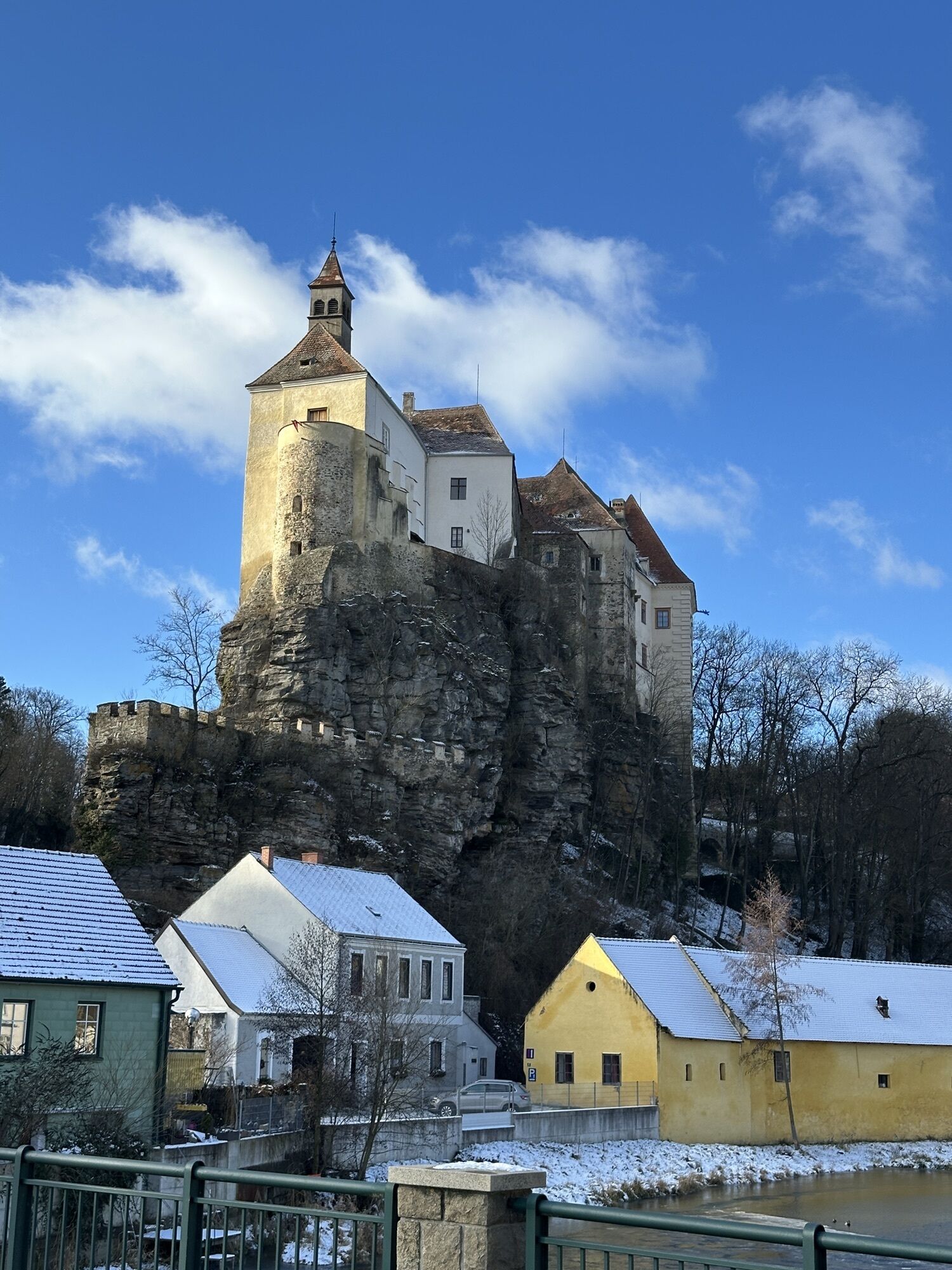
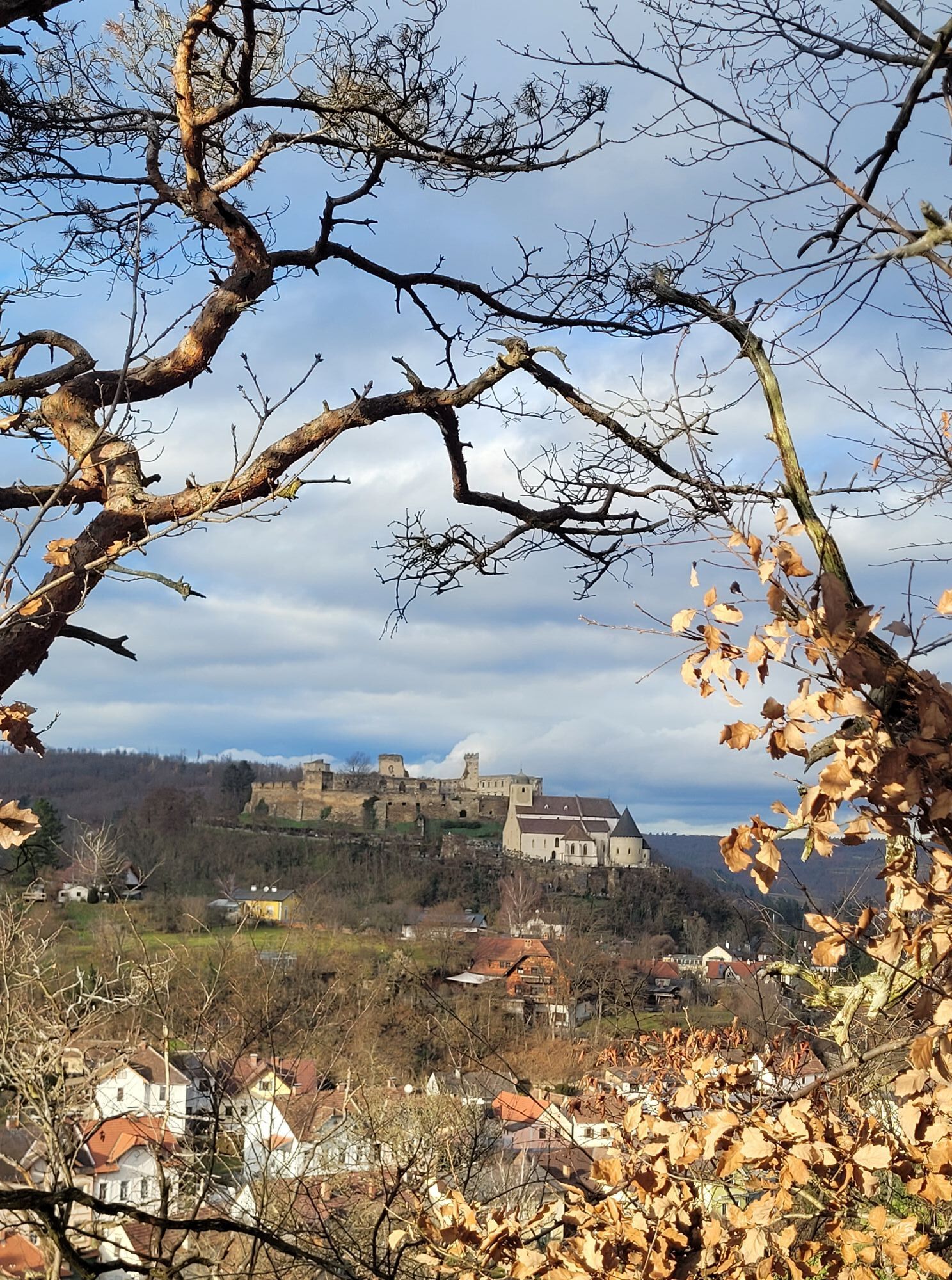
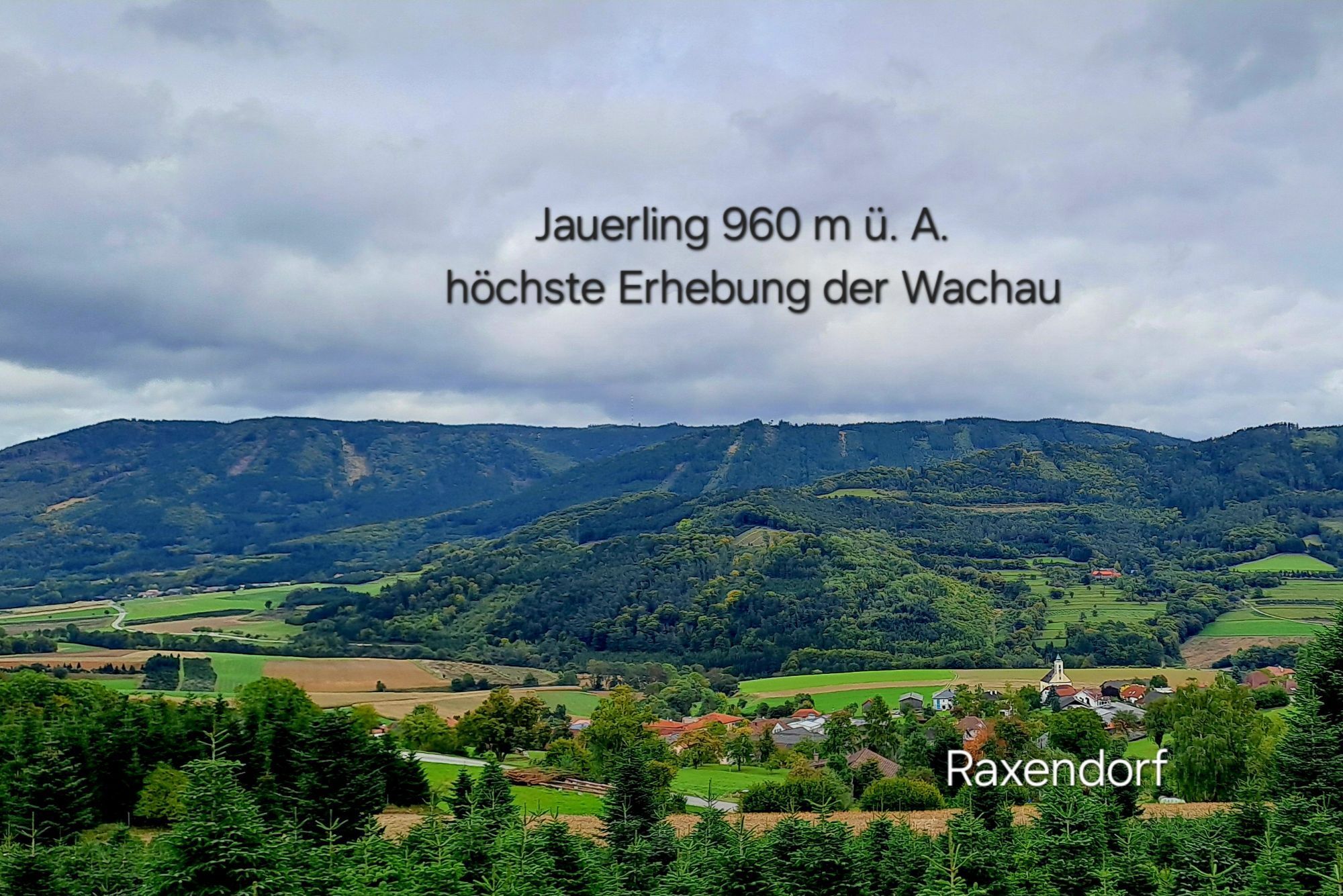
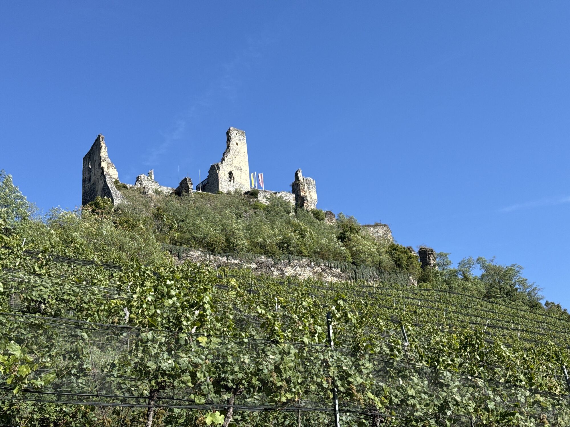
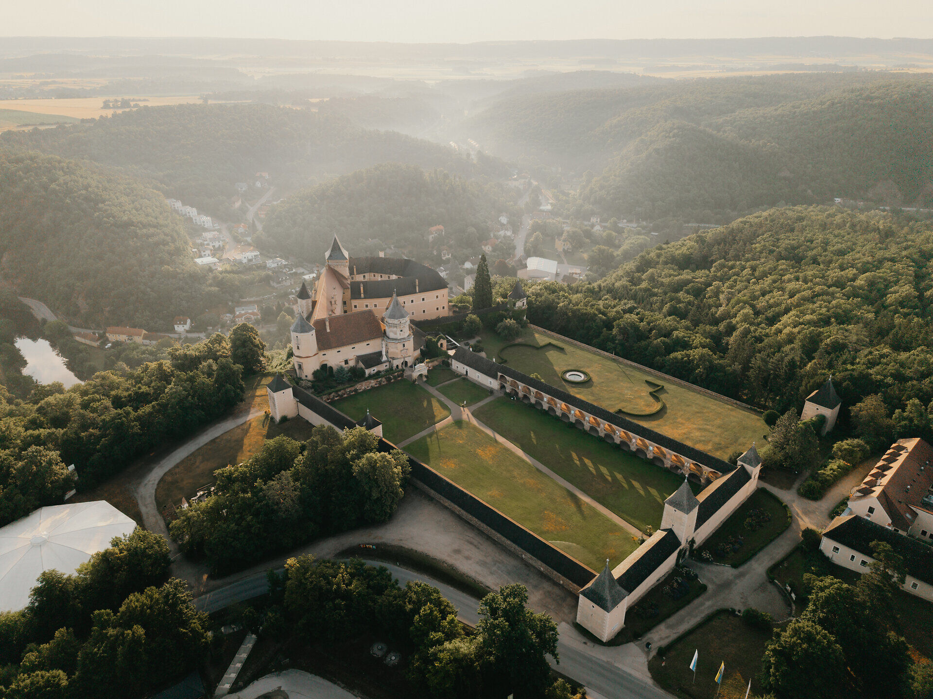
Along the way, the Waldviertel shows its varied side: granite landscapes, vast forests and idyllic river sections alternate with each other. Unexpected views, tranquil ponds and special places of power that invite you to pause for a moment. Castles, abbeys and palaces accompany the route like landmarks and lend the tour additional cultural highlights - without a fixed schedule, but at your own pace.

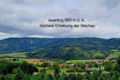
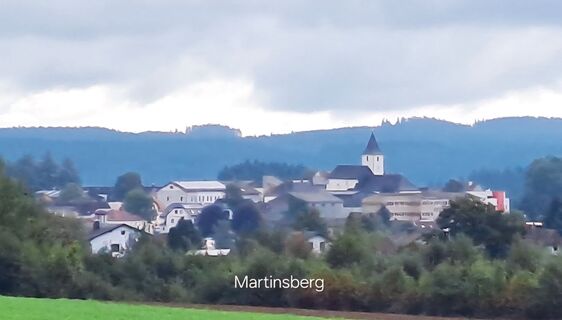
Krems/Donau - Gedersdorf - Grafenegg - Straß im Straßertale - Hadersdorf/Kamp - Langenlois - Schönberg/Kamp - Gars/Kamp - Rosenburg - Horn - St. Bernhard-Frauenhofen - Irnfritz-Messern - Ludweis Aigen - Raabs/Thaya - Karlstein/Thaya - Dobersberg - Reibers - Kautzen - Engelbrechts - Radschin - Reinberg-Dobersberg - Leopoldsdorf - Schandachen - Litschau - Galthof - Gopprechts - Thaures - Heidenreichstein - Amaliendorf-Aalfang - Schrems - Hoheneich - Gmünd - Dietmanns - Unterlembach - Unserfrau-Altweitra - Weitra - Reinprechts - Wultschau - Moorbad Harbach - Hirschenwies - Harmanschlag - Bad Großpertholz - Nonndorf - Thail - Groß Gerungs - Freitzenschlag - Kottinnondorf - Rappottenstein - Bromberg - Bad Traunstein - Martinsberg - Gutenbrunn - Laimbach am Ostrong - Pöggstall - Raxendorf - Pölla - Kottes-Purk - Albrechtsberg an der Gr. Krems -Purkersdorf - Senftenberg - Rehberg - Krems/Donau
Wir empfehlen: Helm, passende Kleidung und Schuhwerk, Regen- und Sonnenschutz, Erste Hilfe Paket (Blasenpflaster), Ausreichend Verpflegung (Jause, Müsliriegel, Obst, Wasser).
Vergewissern Sie sich bei der Wahl der Route, ob sie Ihrer Kondition entspricht. Prüfen Sie, ob die Gastronomiebetriebe, die Sie unterwegs besuchen wollen, geöffnet haben. Packen Sie Ihr Mobiltelefon und Kartenmaterial in Ihren Rucksack. E-Bike von Vorteil.
Von St. Pölten kommend auf S33 nach Krems.
Von Wien kommend A22 bis Ausfahrt Stockerau Nord, weiter auf S5 Richtung Krems/St.Pölten/Tulln.
Alle Informationen rund um sämtliche Bus- und Bahnlinien ins Waldviertel finden Sie auf www.vor.at oder unter www.oebb.at.
Öffentliche Anreise zu folgenden Bahnhöfen möglich: Krems/Donau, Langenlois, Horn, Gmünd
Waldviertel Tourismus
3910 Zwettl, Sparkassenplatz 1/2/2
(T) +43 2822 54109
(E) info@waldviertel.at
(I) www.waldviertel.at
Fahren Sie auf eigene Faust oder, noch besser, lassen Sie sich von uns die Organisation vorab sowie den Gepäcktransport vor Ort abnehmen, damit Sie sich ganz auf Ihr Rad-Erlebnis im Waldviertel konzentrieren können!
Informationen und Unterstützung bei der Buchung einer Auszeit erhalten Sie unter +43 2822 54109-90 oder buchung@waldviertel.at.
Webové kamery z prehliadky
-
Kleinlobming
-
Jauerling Talstation
-
Rathausplatz Weitra
-
Jauerling Bergstation
-
Oberlainsitz
-
Kirchbach Talstation
-
Albrechtsberg an der großen Krems
-
Streith bei Langschlag
-
Horn
-
Streith bei Langschlag
-
Flugplatz Krems an der Donau
-
Groß-Siegharts
-
Groß-Siegharts
-
Krems an der Donau
-
Krems an der Donau
-
Leopoldsdorf-Litschau
-
Gutenbrunn - Hanslteich
-
Gutenbrunn - Hanslteich
Obľúbené výlety v okolí
-
4,2
Stauseerunde
strednáTuristika 9,56 km -
4,2
Stausee Ottenstein
svetloTuristika 5,13 km -
4,2
TiWaLi Kamptal-Weißenbach-Runde
svetloTuristika 10,6 km -
4,8
Ottenstein Stausee - Uferwanderung
svetloTuristika 8,52 km -
4,5
Kampseerunde
Turistika 13,7 km -
4,0
80 Natur - Energie - Kraft
Turistika 10,8 km -
Dobrasee Strecke (Mountainbike Waldviertel)
Mountainbike 70,4 km -
3,2
Knödel-Landradweg
strednáCyklistika 42,6 km -
4,5
Roiten - Satzling - Hoher Stein - Gasthaus König
strednáTuristika 9,89 km -
4,0
Teichrunde Schloss Waldreichs und Schlenkerer zum Kamp
svetloTuristika 7,42 km
Turistika a stopovanie


Nenechajte si ujsť ponuky a inšpiráciu na ďalšiu dovolenku
Vaša e-mailová adresa bol pridaný do poštového zoznamu.