Navigácia na stránke
Získajte túto prehliadku v mobilnom telefóne
Mapa
Schmidataler Radroute

stredná
Cyklistika
62,08 km
Naskenujte kód QR a spustite navigáciu v aplikácii bergfex
QR Code
Turistika a stopovanie

Schmidataler Radroute
Vzdialenosť
62,1 km
Trvanie
04:25 h
Ascent
449 hm
Hladina mora
215 - 386 m
Stiahnutie skladby
Mapa
Schmidataler Radroute
stredná
Cyklistika
62,08 km

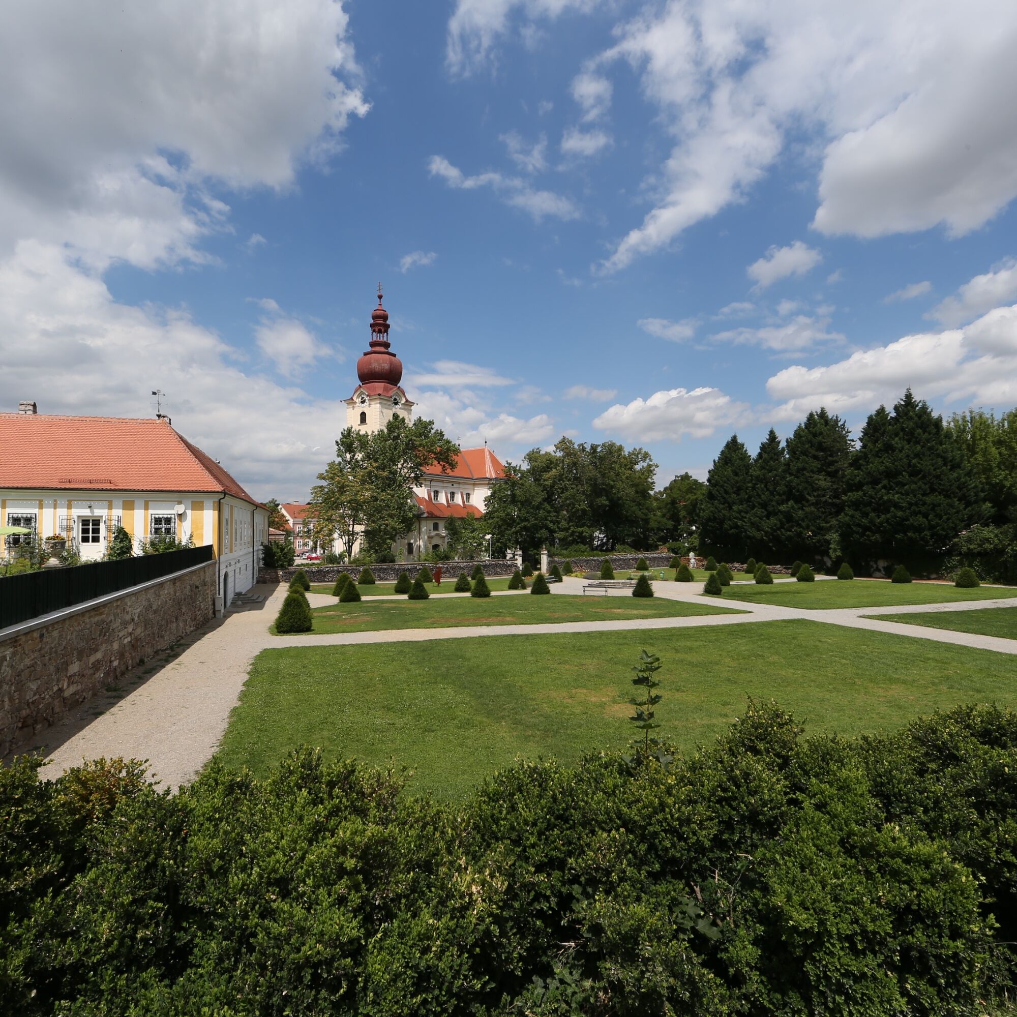
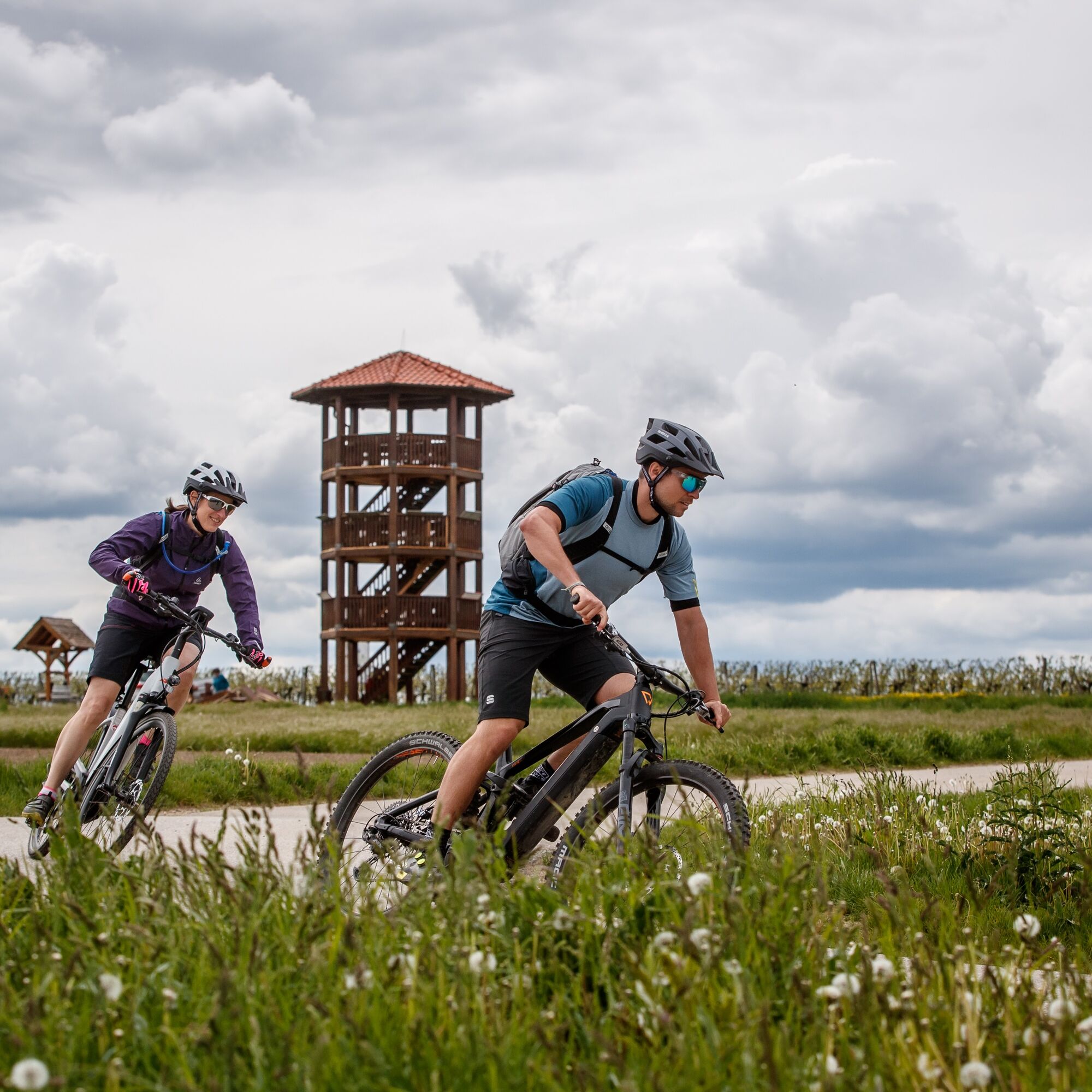
At the foot of the Manhartsberg, the bike route winds through the Schmidatal Landscape Park. Along the way, you’ll find stunning views—such as those of the Wartberg—as well as inviting destinations like...

Opis

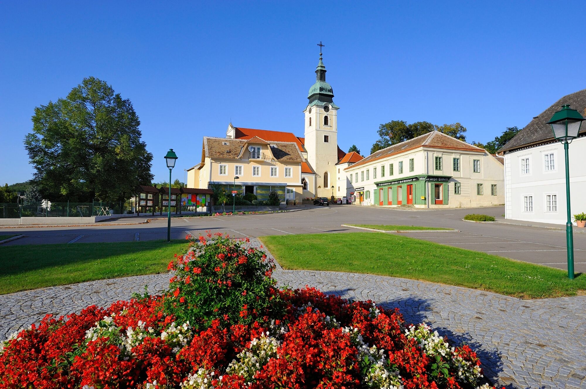
At the foot of the Manhartsberg, the bike route winds through the Schmidatal Landscape Park. Along the way, you’ll find stunning views—such as those of the Wartberg—as well as inviting destinations like the Amethystwelt Maissau and the Heldenberg.

Trasa
Kirchenberg
(313 m)
Summit
7,2 km
Kriegerdenkmal
(253 m)
Miesto uctievania
11,8 km
Maria Himmelfahrt
(265 m)
Miesto uctievania
22,1 km
St. Martin
(347 m)
Miesto uctievania
29,5 km
St. Philipp und Jakob
(238 m)
Miesto uctievania
44,3 km
St. Andreas
(232 m)
Miesto uctievania
49,3 km
Ortskapelle
(229 m)
Miesto uctievania
55,2 km
Trasa
Mapa
Schmidataler Radroute
stredná
Cyklistika
62,08 km
Sitzendorf an der Schmida
(239 m)
Dedina
0,0 km
St. Martin
(245 m)
Miesto uctievania
0,2 km
Schmidawirt
(240 m)
Reštaurácia
0,4 km
Goggendorf
(242 m)
Dedina
3,0 km
Maria Verkündigung
(244 m)
Miesto uctievania
3,3 km
St. Leonhard
(312 m)
Miesto uctievania
7,2 km
Kirchenberg
(313 m)
Summit
7,2 km
St. Leopold
(255 m)
Miesto uctievania
11,7 km
Niederschleinz
(252 m)
Dedina
11,7 km
Kriegerdenkmal
(253 m)
Miesto uctievania
11,8 km
Limberg
(282 m)
Dedina
14,5 km
Oberdürnbach
(321 m)
Dedina
16,6 km
Zur alten Schmiede
(340 m)
Reštaurácia
18,8 km
Maissau
(341 m)
Mesto
19,2 km
Maria Himmelfahrt
(265 m)
Miesto uctievania
22,1 km
Ravelsbach
(265 m)
Dedina
22,1 km
da KirchenWirt
(265 m)
Reštaurácia
22,1 km
Allerheiligste Dreifaltigkeit
(279 m)
Miesto uctievania
23,4 km
Oberravelsbach
(281 m)
Dedina
23,7 km
Zemling
(356 m)
Dedina
27,6 km
Gasthof Berger
(357 m)
Reštaurácia
28,0 km
Mühlbach am Manhartsberg
(341 m)
Dedina
29,4 km
St. Martin
(347 m)
Miesto uctievania
29,5 km
Hohenwarth
(334 m)
Dedina
33,7 km
Ebersbrunn
(308 m)
Dedina
36,9 km
Hiata Hütte
(324 m)
Uhol pohľadu
40,0 km
Hl. Johannes d. Täufer
(267 m)
Miesto uctievania
41,2 km
Radlbrunn
(267 m)
Dedina
41,3 km
Schanz
(264 m)
Koridor/terén
41,3 km
Glaubendorf
(238 m)
Dedina
44,2 km
St. Philipp und Jakob
(238 m)
Miesto uctievania
44,3 km
Kleinwetzdorf
(219 m)
Dedina
45,6 km
Großwetzdorf
(233 m)
Dedina
46,4 km
Rohrbach
(232 m)
Dedina
49,1 km
St. Andreas
(232 m)
Miesto uctievania
49,3 km
Dippersdorf
(223 m)
Dedina
50,7 km
Ziersdorf
(230 m)
Dedina
52,0 km
Gettsdorf
(231 m)
Dedina
54,5 km
Ortskapelle
(229 m)
Miesto uctievania
55,2 km
Hollenstein
(229 m)
Dedina
55,3 km
Frauendorf an der Schmida
(232 m)
Dedina
58,0 km
Kleinkirchberg
(238 m)
Zúčtovanie
61,3 km
Sitzendorf an der Schmida
(239 m)
Dedina
62,0 km
Informácie o prehliadke

A loop hike through the Schmidatal Valley.

Technológia
n.a.
Stav
3 / 6
Krajina
4 / 6
Skúsenosti
4 / 6
Najlepšie ročné obdobie
Jan
Feb
Mar
Apr
Máj
Jún
Júl
Aug
Sep
Okt
Nov
Dec
Autor
Prehliadku Schmidataler Radroute zabezpečuje outdooractive.com.
Logo
Zdieľať prehliadku
Mapa
Schmidataler Radroute
stredná
Cyklistika
62,08 km
Chyba
Vyskytla sa chyba. Prosím, skúste to znova.
Naposledy sledované pred jedným dňom
Informácie o trase
Trasa

At the foot of the Manhartsberg, the bike route winds through the Schmidatal Landscape Park. This loop route takes you through the municipalities of Ziersdorf, Heldenberg, Hohenwarth-Mühlbach, Ravelsbach, Maissau, Straning-Grafenberg, and Sitzendorf an der Schmida. This varied route is characterized by small villages, wine-growing regions, and the rolling farmland typical of the Weinviertel. Along the way, two Top Excursion Destinations—“Der Heldenberg” and the “Amethyswelt Maissau”—invite you to stop by.

Informácie o príchode
Príchod

If you're coming by car from Vienna, take the A22 to Stockerau, then the B4 toward Horn until the Ziersdorf exit

Verejná doprava

From Vienna Heiligenstadt (U4), take the Franz-Josef-Bahn to Ziersdorf. Alternatively, take the S4 rapid transit train from Vienna-Floridsdorf to Ziersdorf, changing trains at Absdorf-Hippersdorf.

Parkovanie

Parking available at the Ziersdorf train station

Ďalšie informácie a tipy
Ďalšie informácie

https://www.derheldenberg.at/

https://www.amethystwelt.at/

Tipy

Be sure to visit our Top Excursion Destinations along the route: "Der Heldenberg" and the Amethystwelt Maissau.

Turistika a stopovanie

Turistika a stopovanie

Turistika a stopovanie
Viac ako 550.000 návrhov výletov, podrobné mapy a intuitívny plánovač trás robia z aplikácie povinnú výbavu pre všetkých nadšencov prírody.
bergfex