


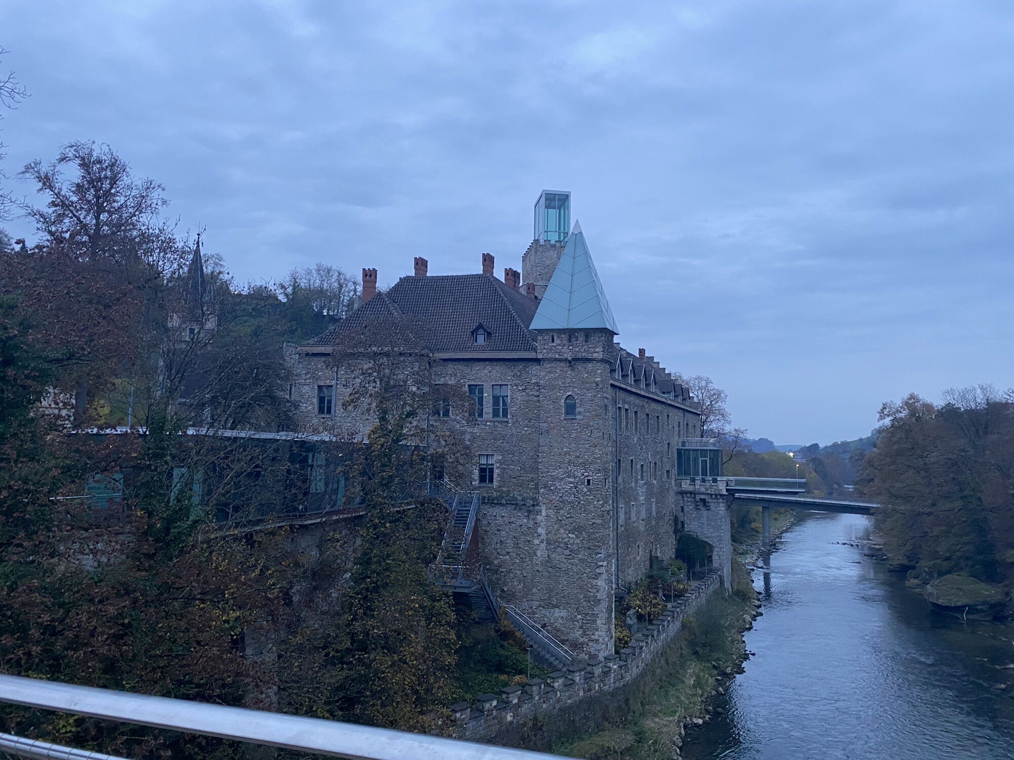
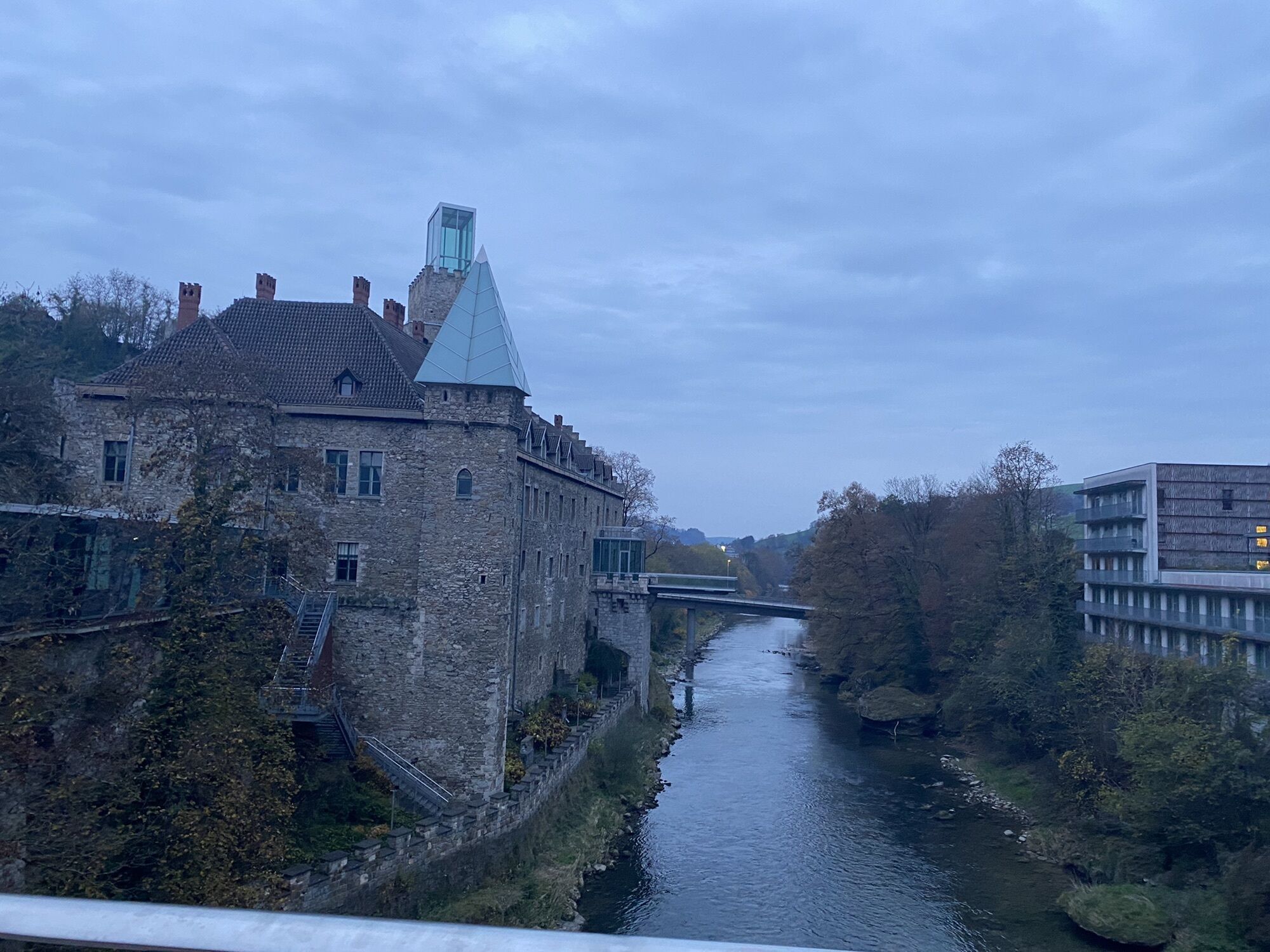
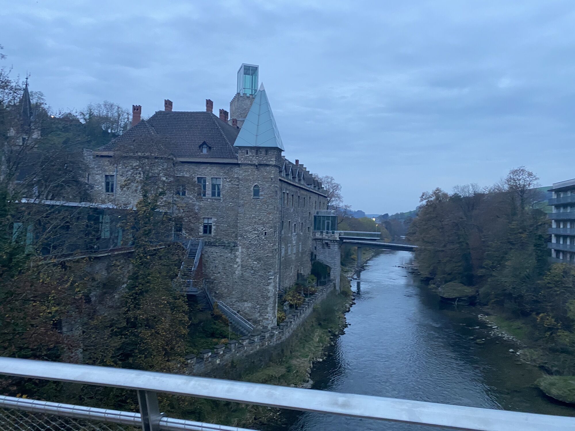
Zellerrain route
Úroveň náročnosti: 3

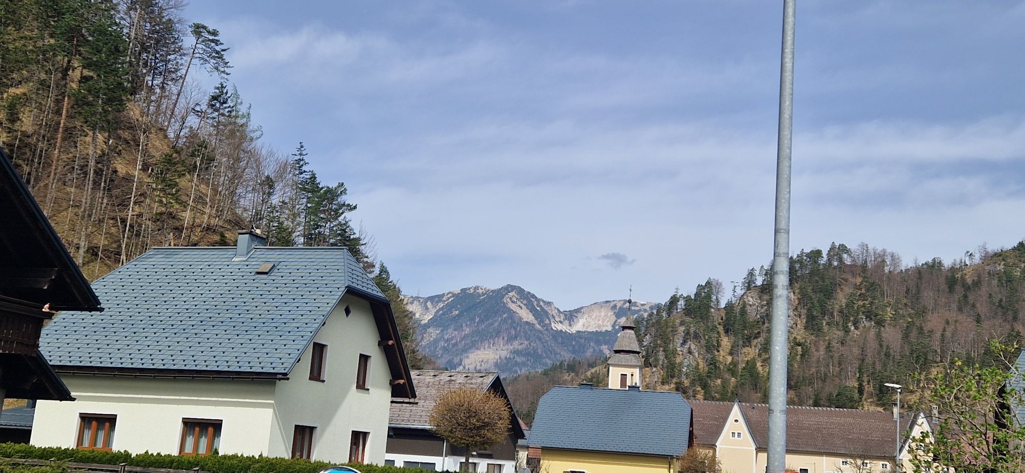

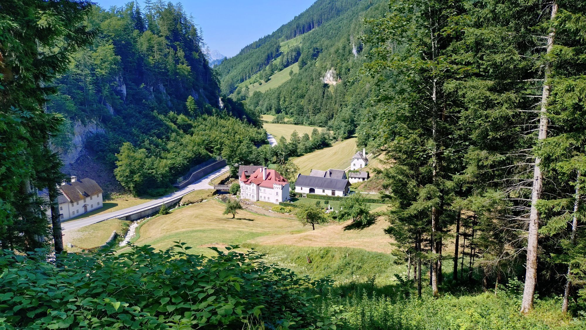
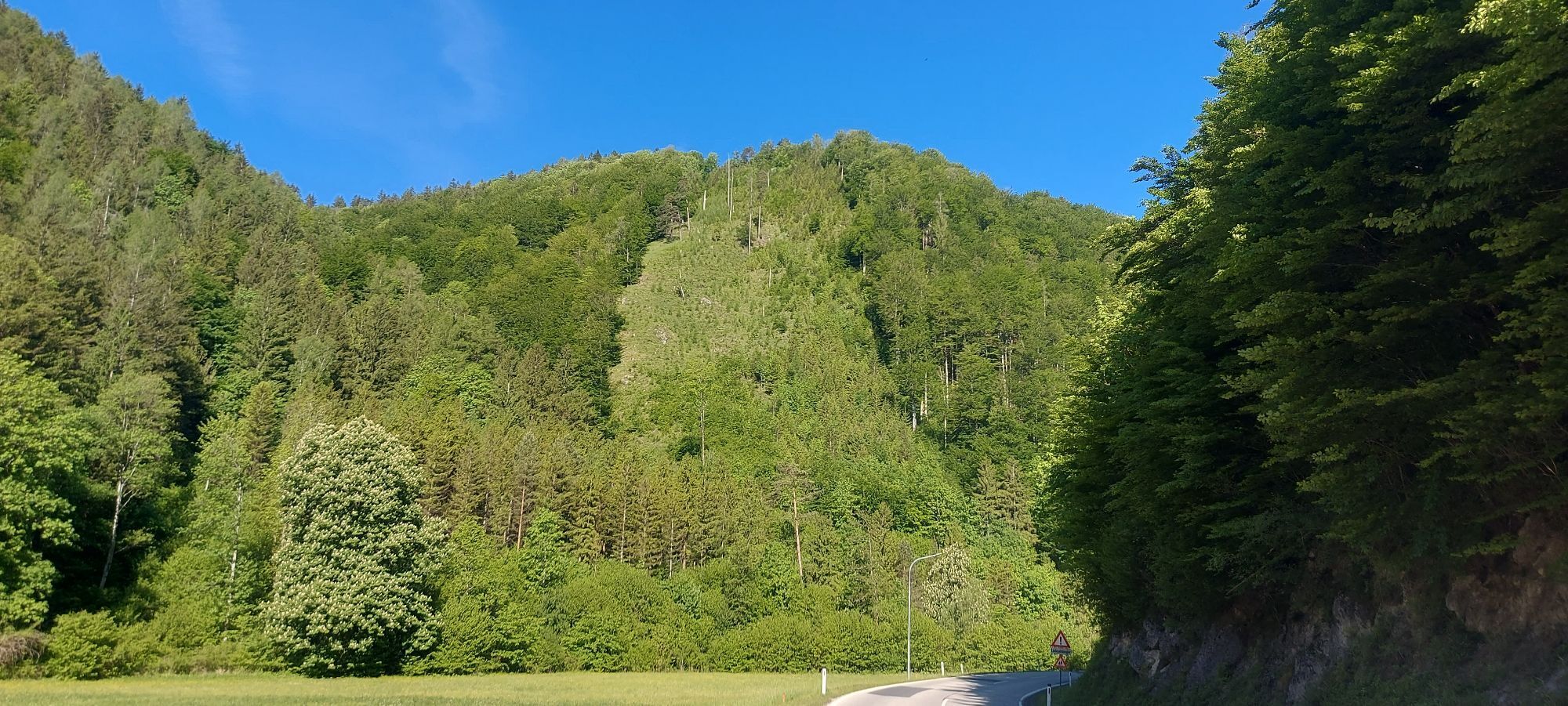
The route initially leads flat through the small Ybbstal and through the Zogels and Wiesergraben to Gaming. This is followed by the ascent to the Grubberg on a wide road before turning left towards Mariazell.
...The route initially leads flat through the small Ybbstal and through the Zogels and Wiesergraben to Gaming. This is followed by the ascent to the Grubberg on a wide road before turning left towards Mariazell.
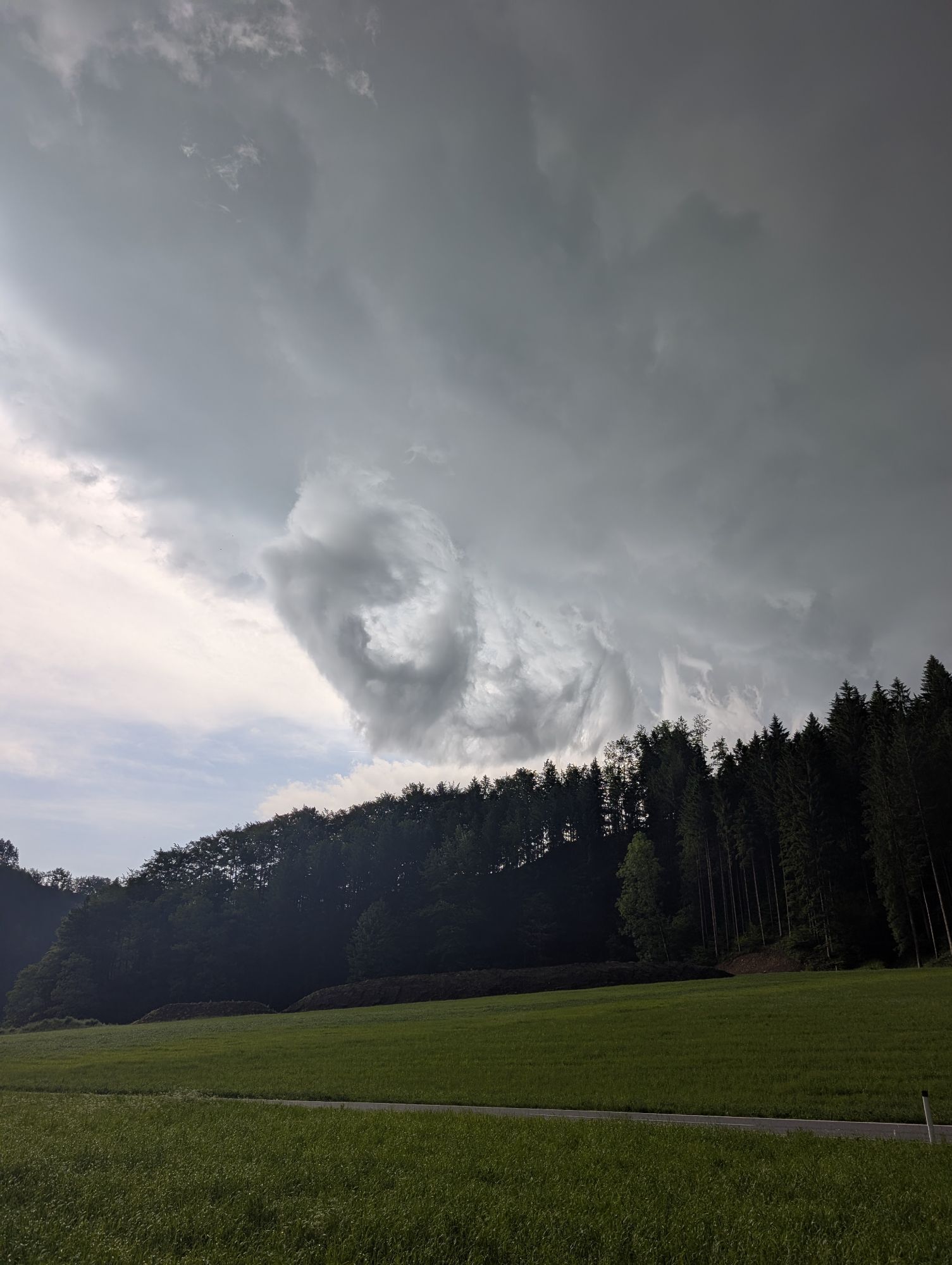
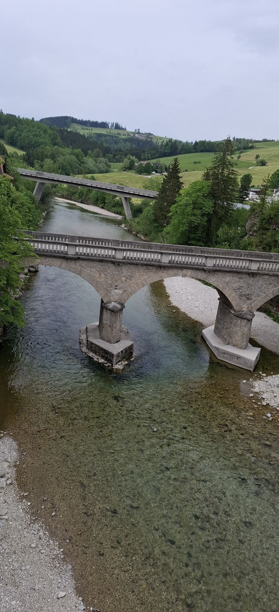
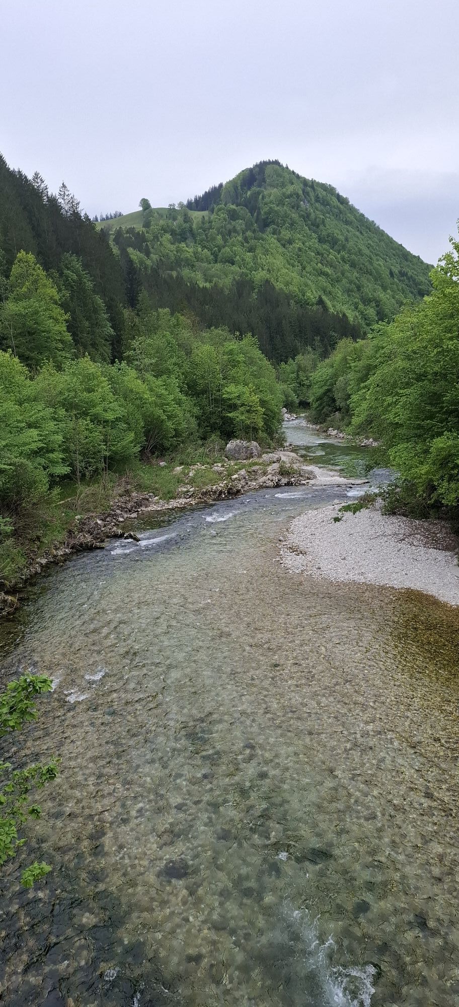
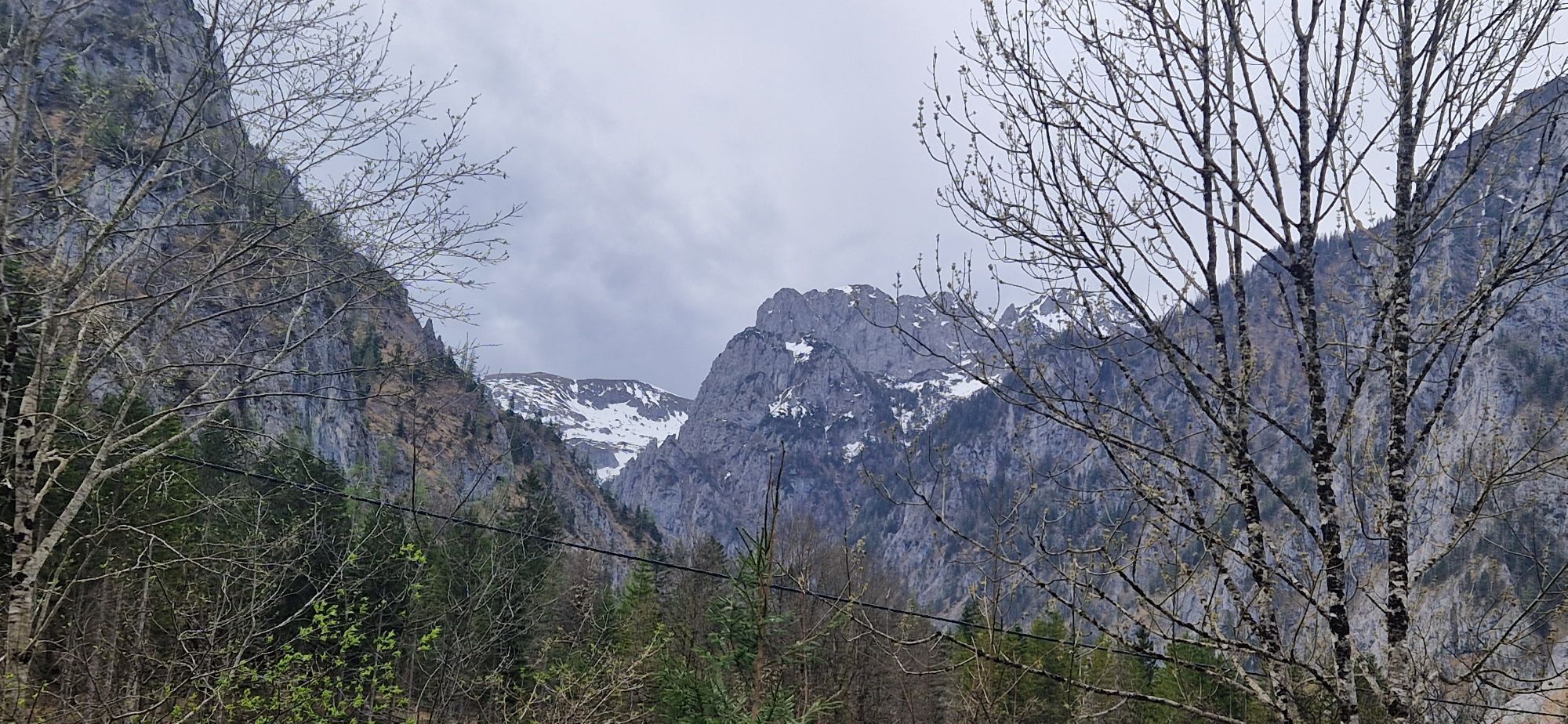
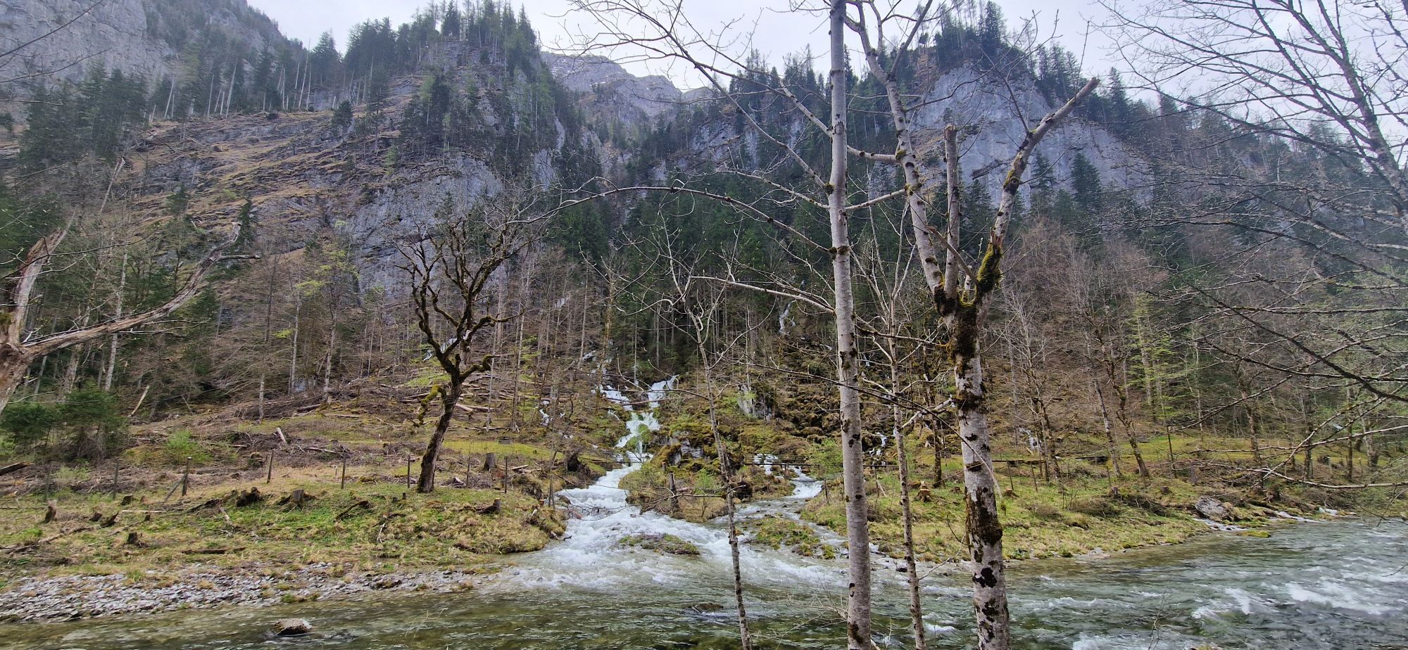
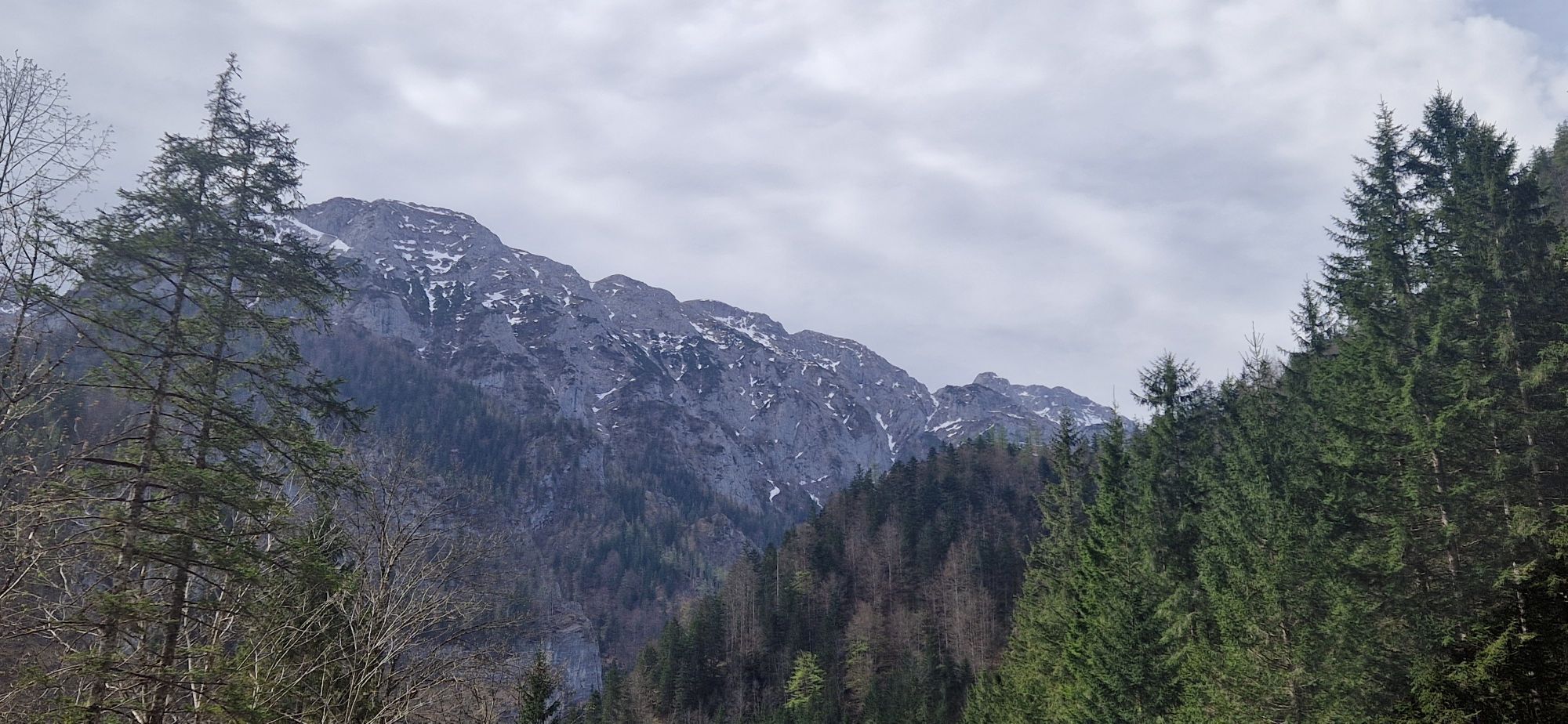
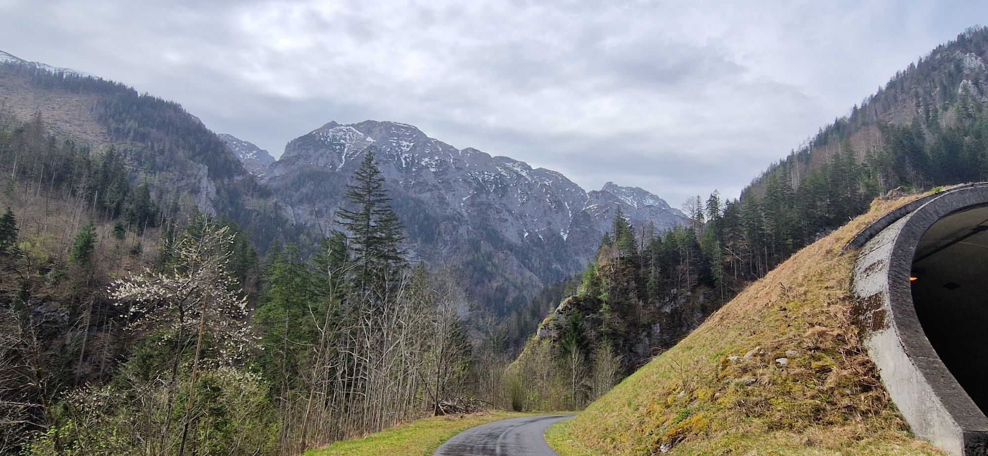
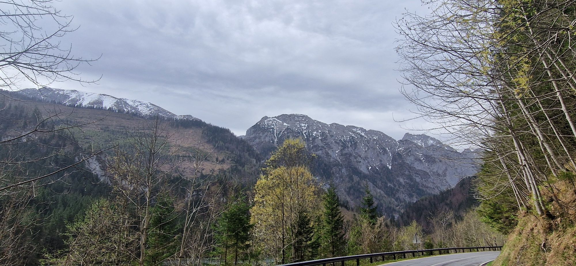
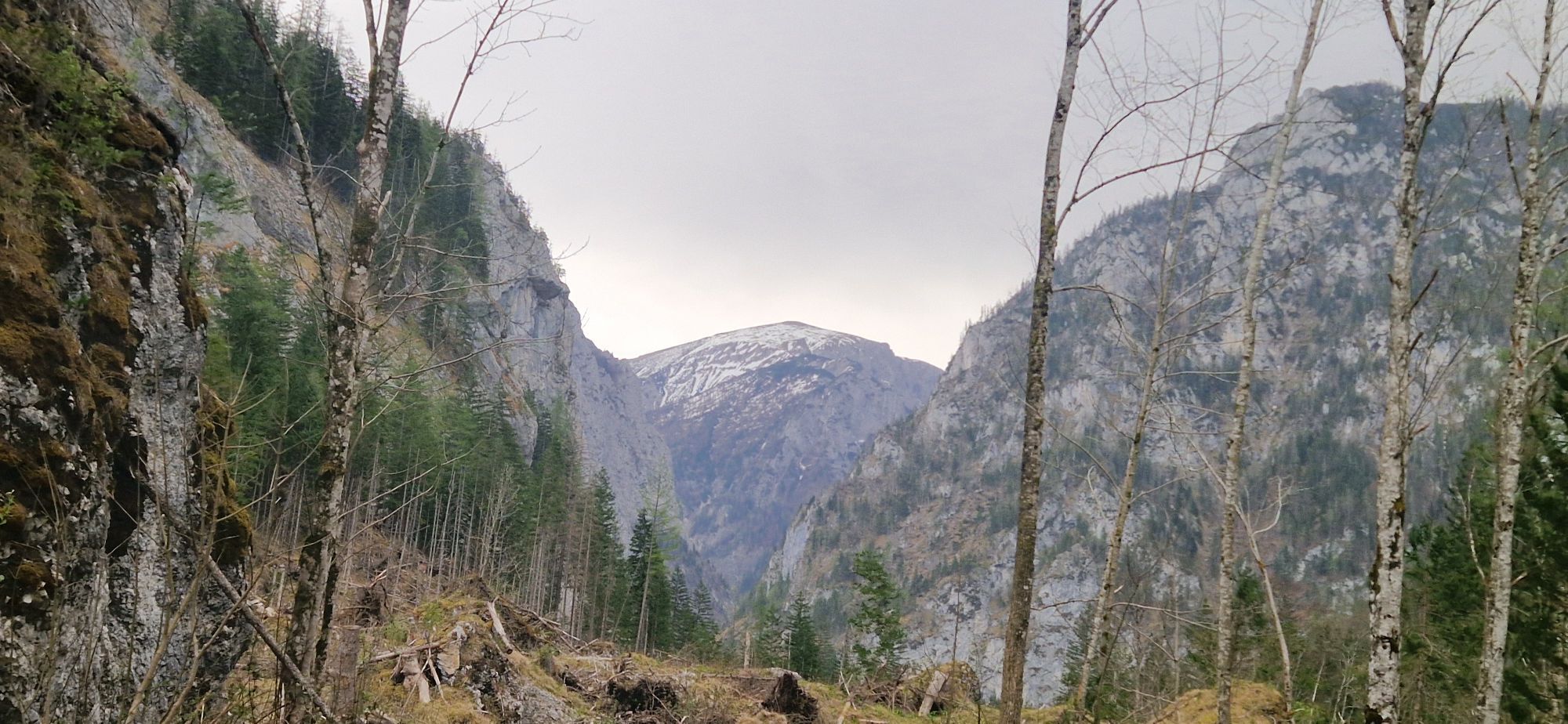
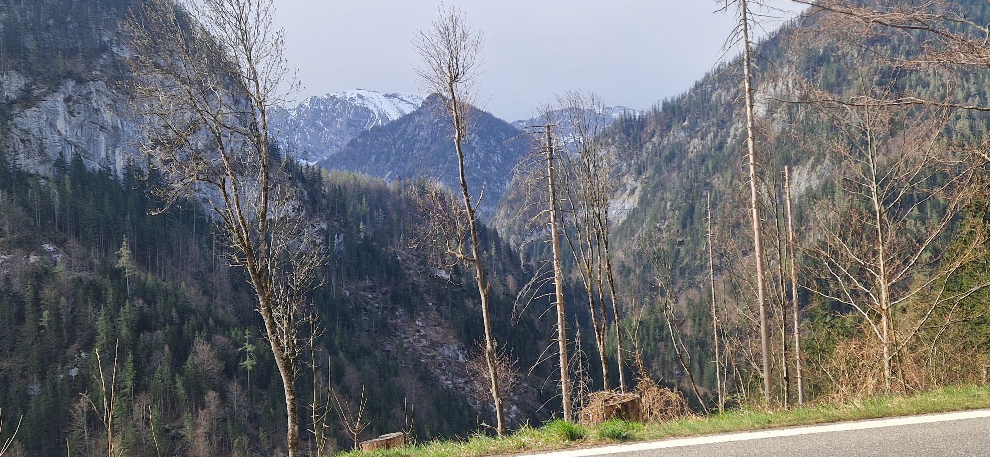
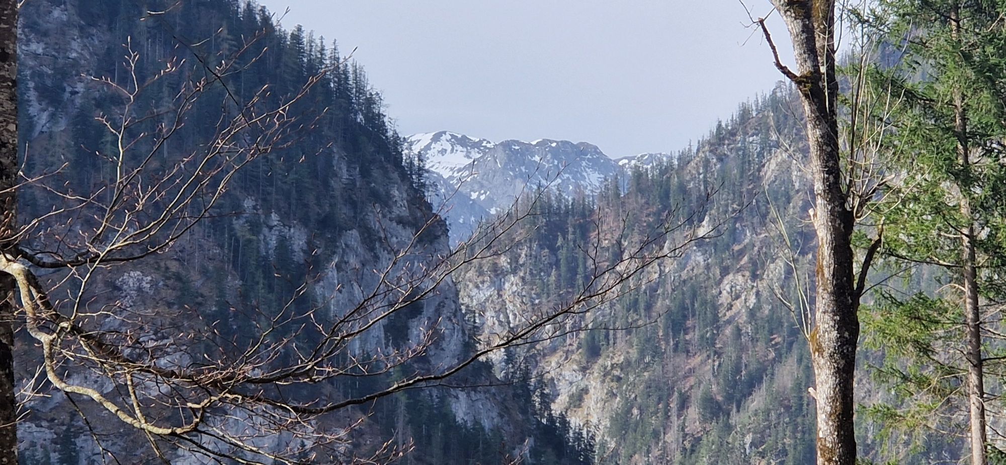
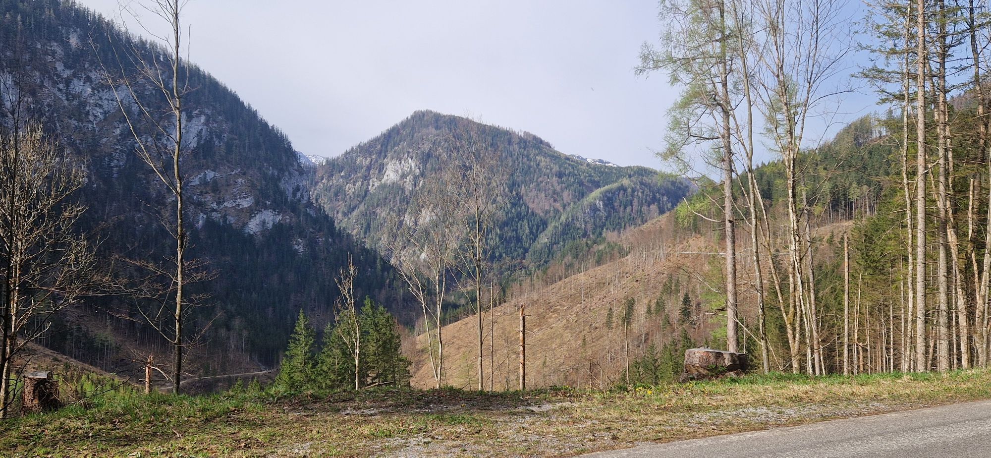
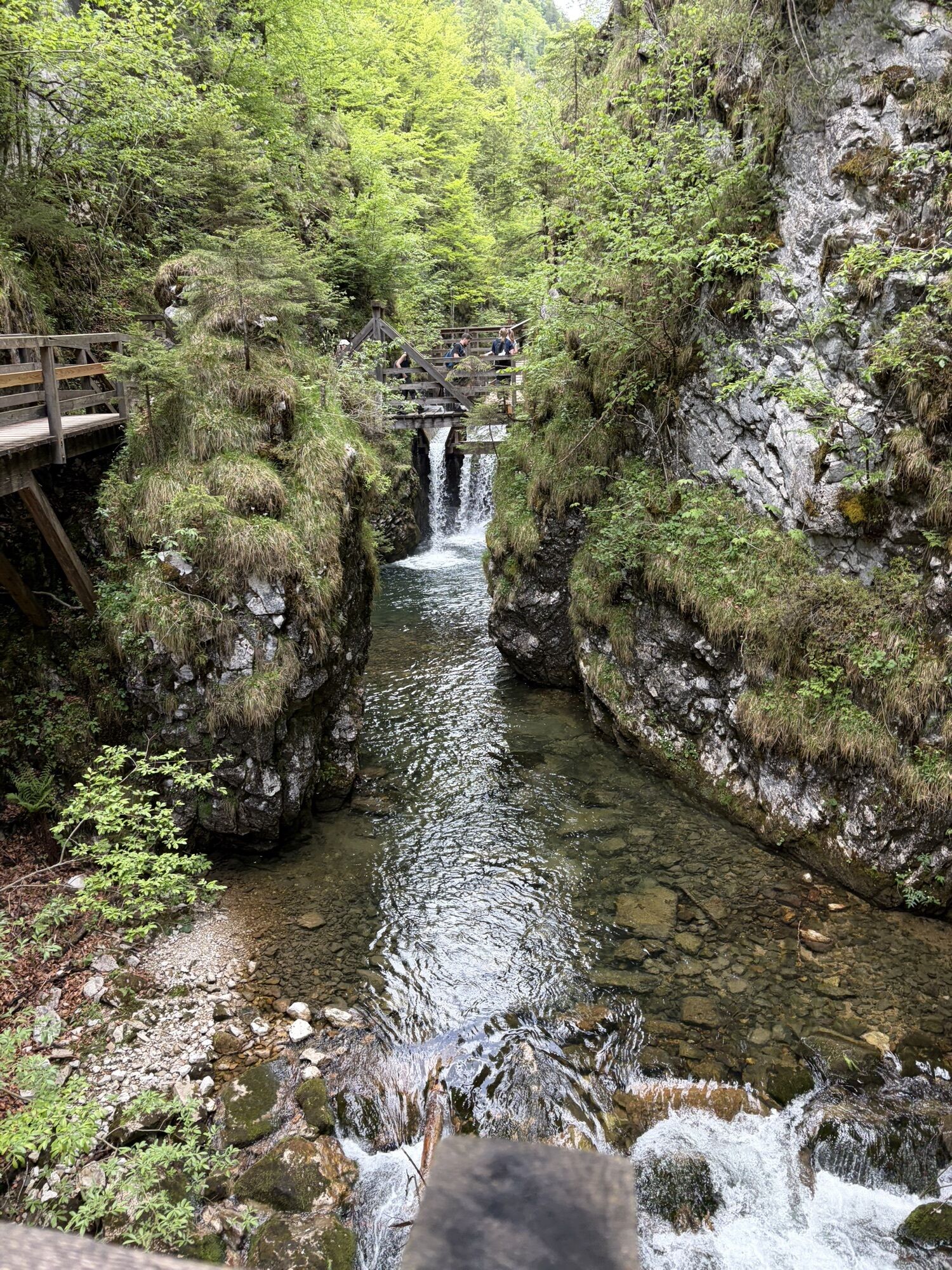
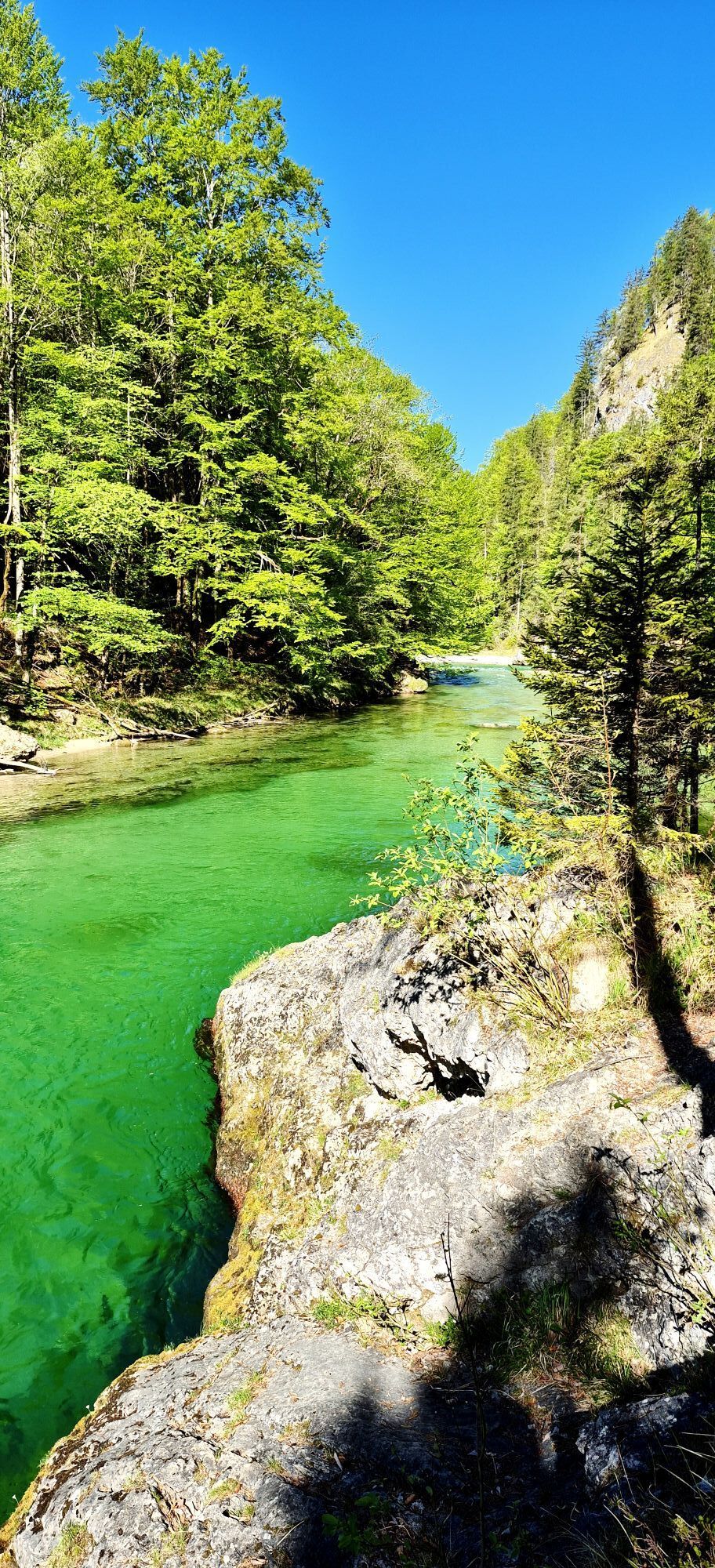
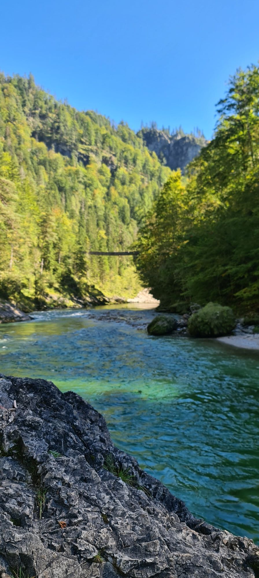
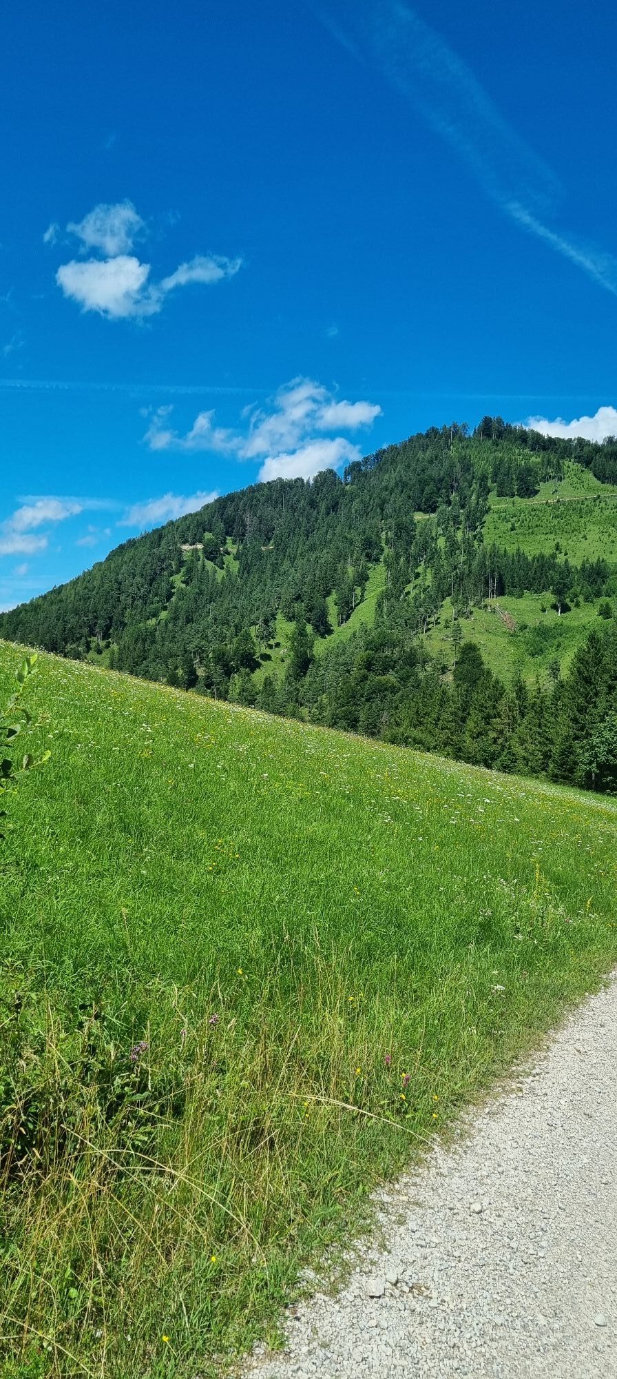
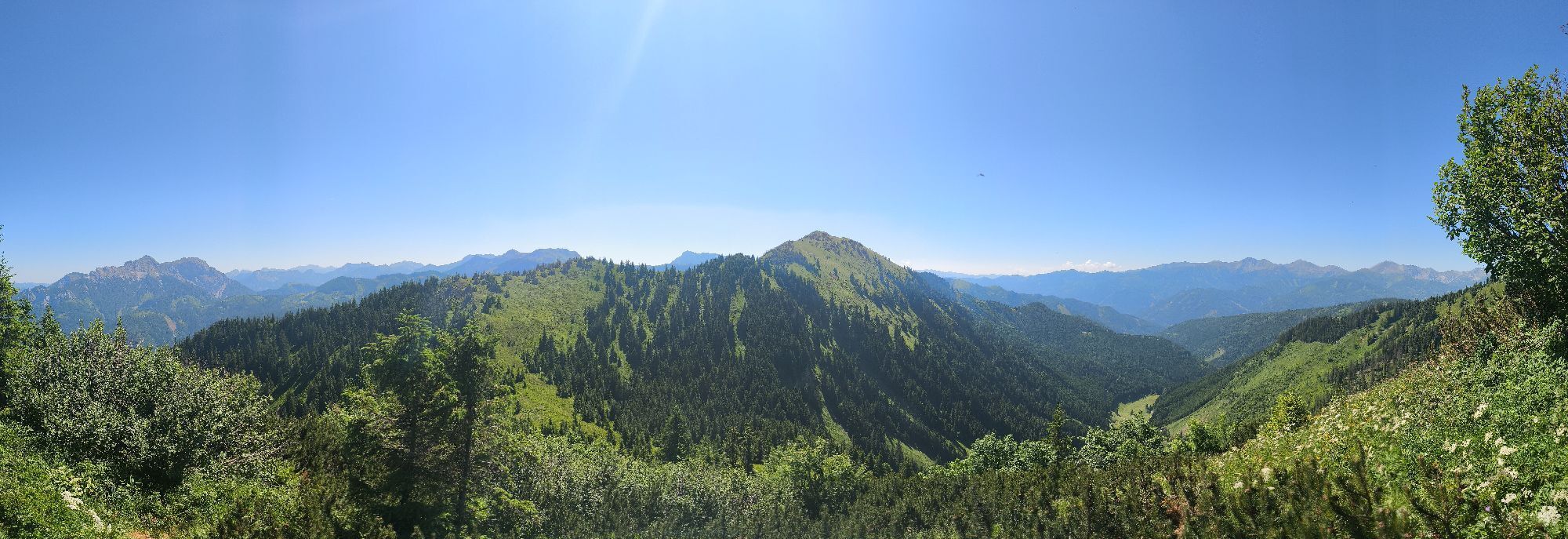
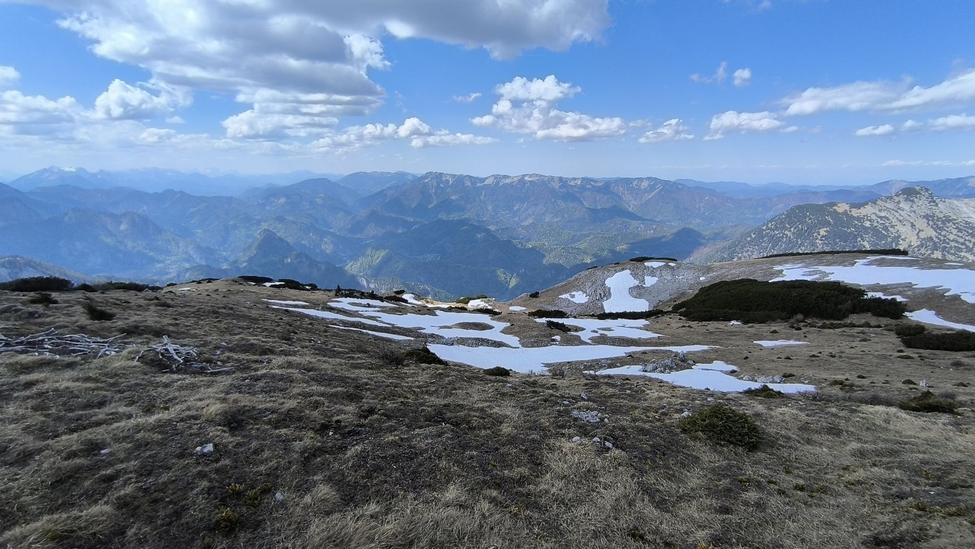
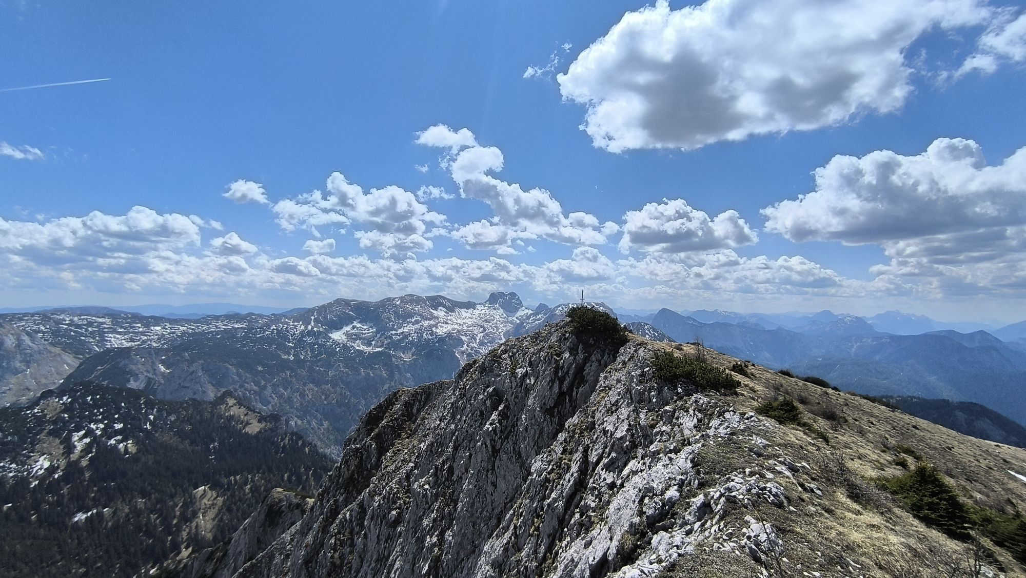
We continue cycling downstream through the wild romantic valley, initially still rather flat but the route becomes increasingly steep. Some challenging ramps have to be mastered before reaching the highest point of the tour, Zellerrain, over a beautifully located alpine meadow.
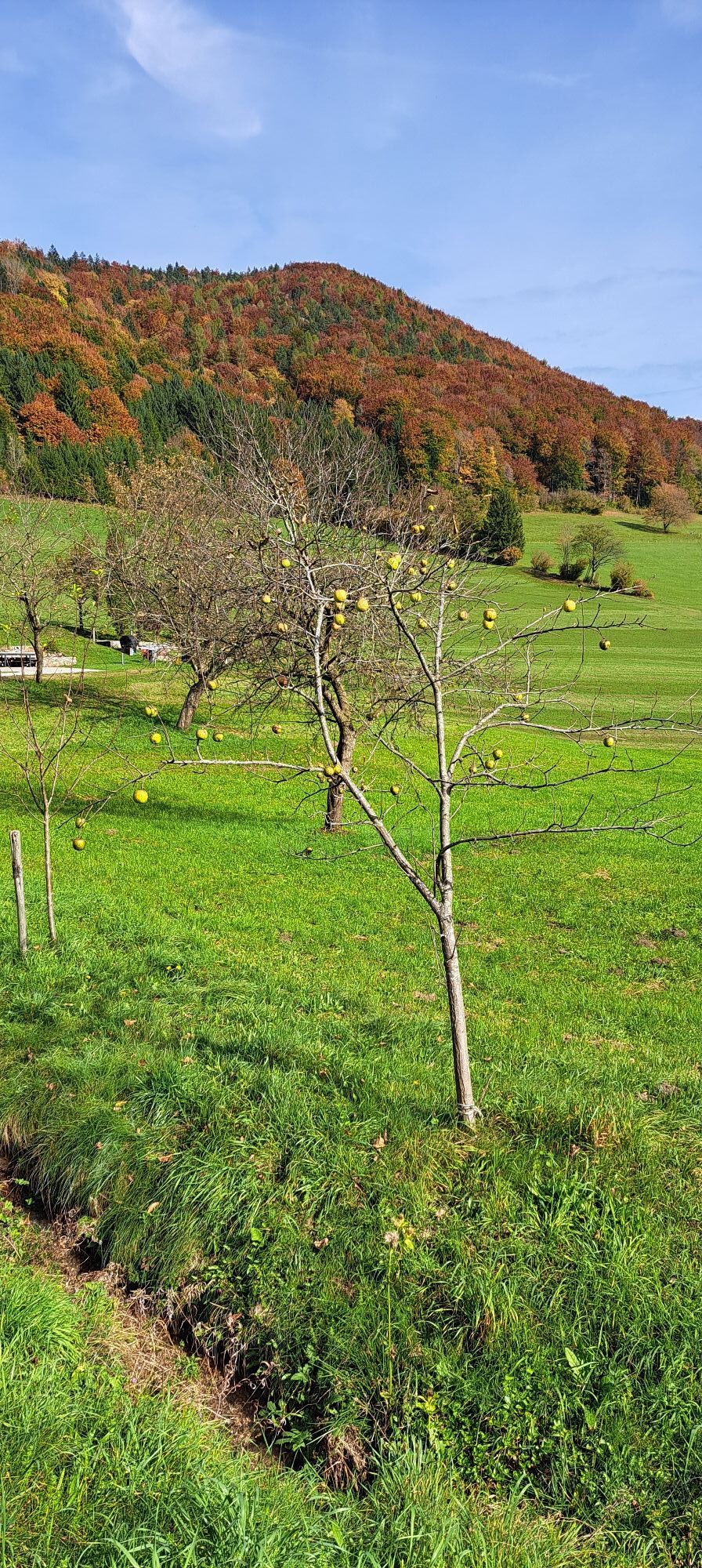
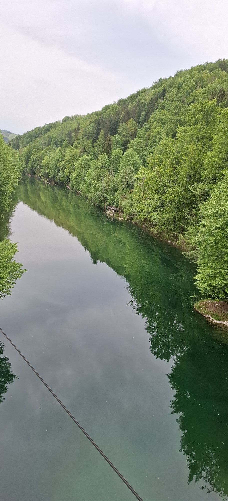
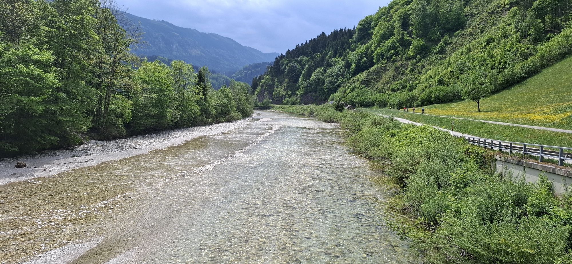
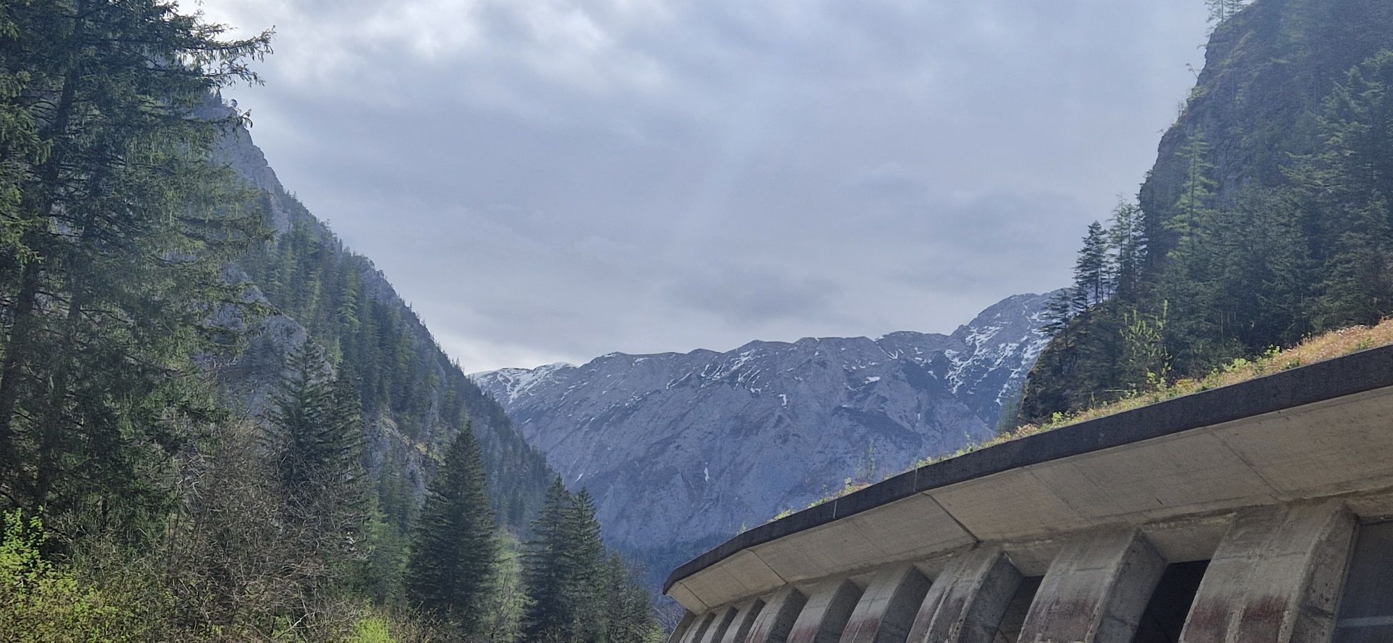
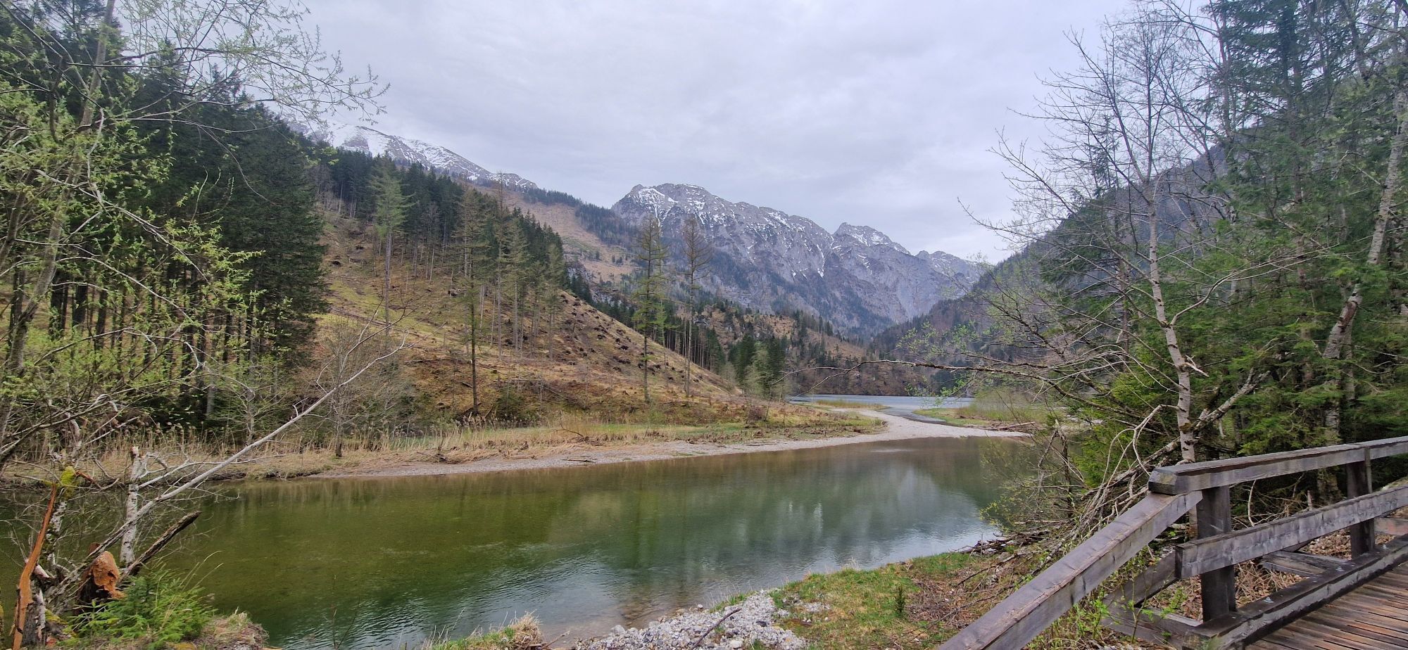
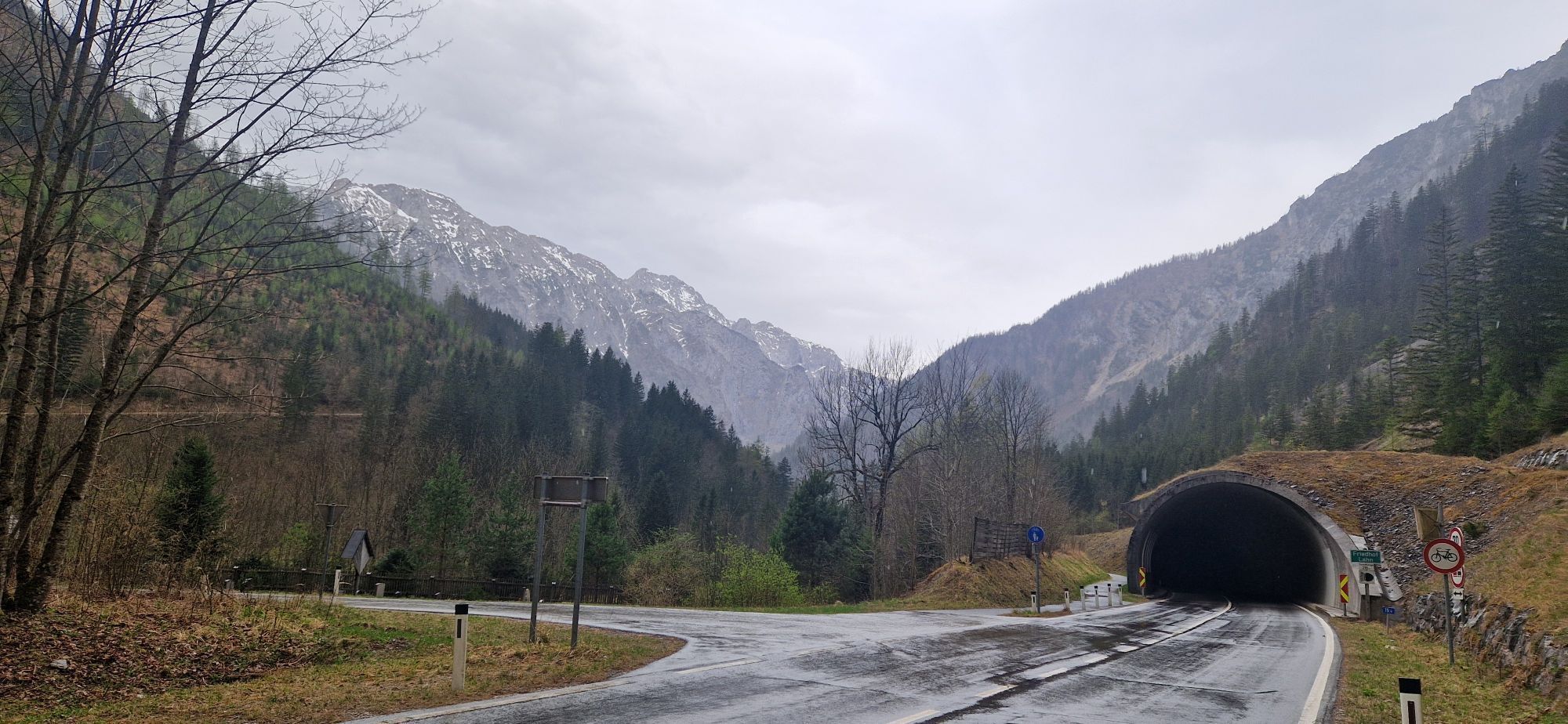
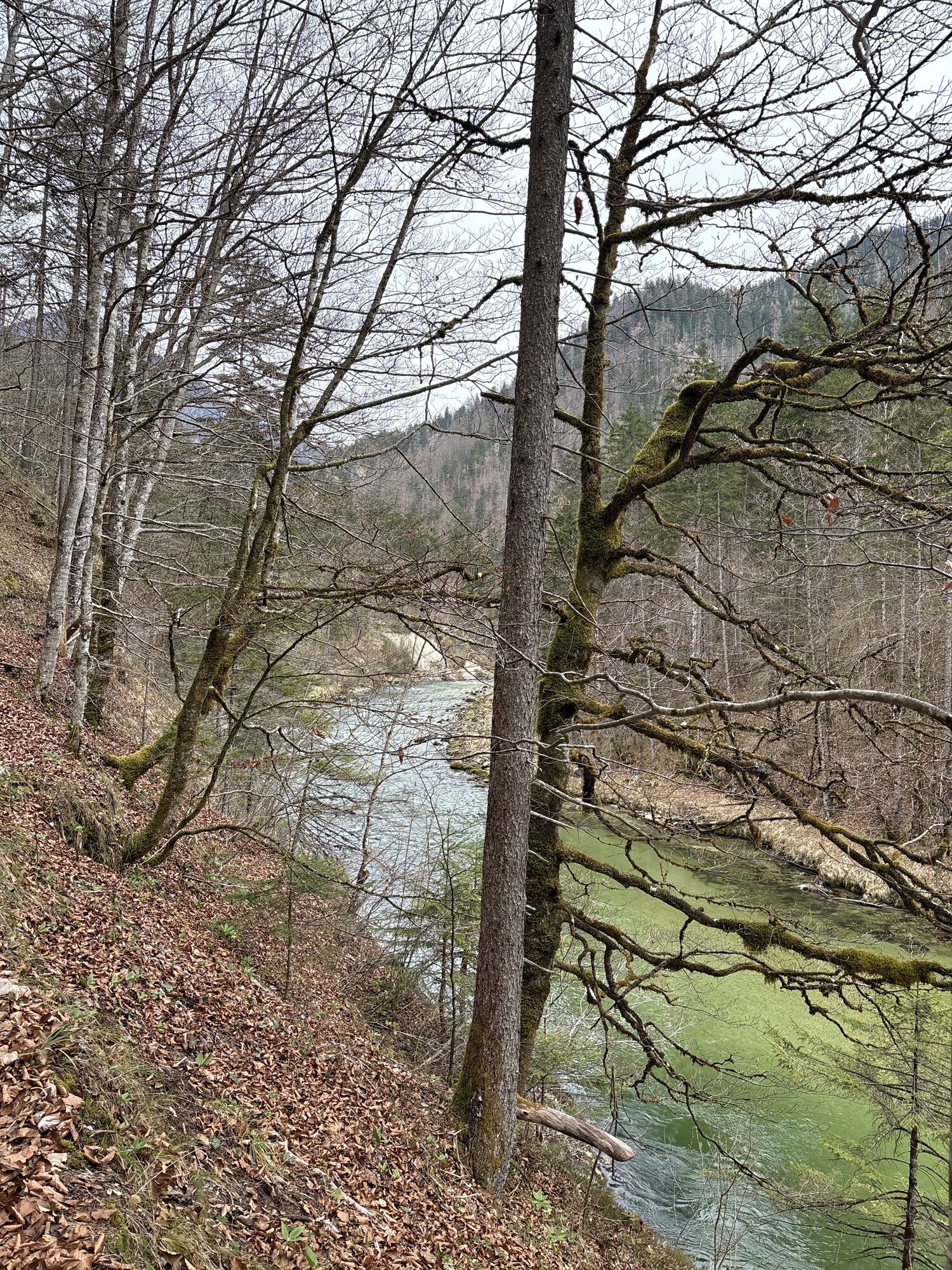
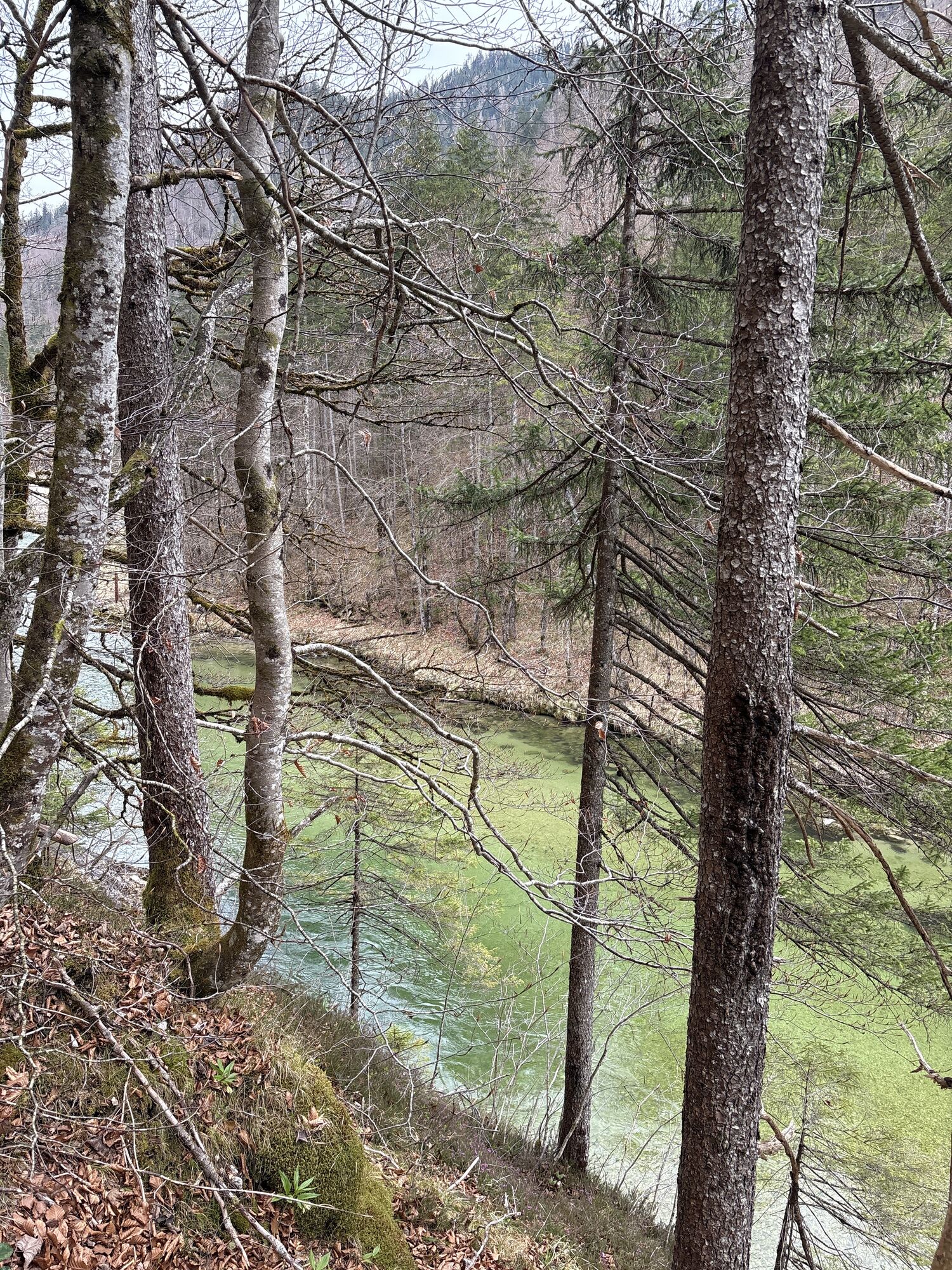
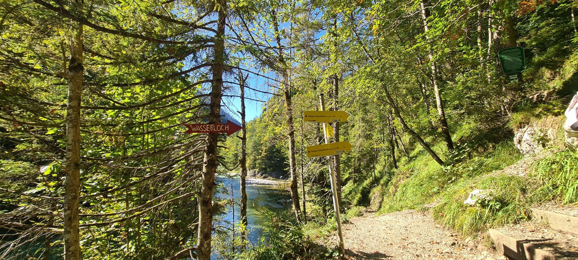
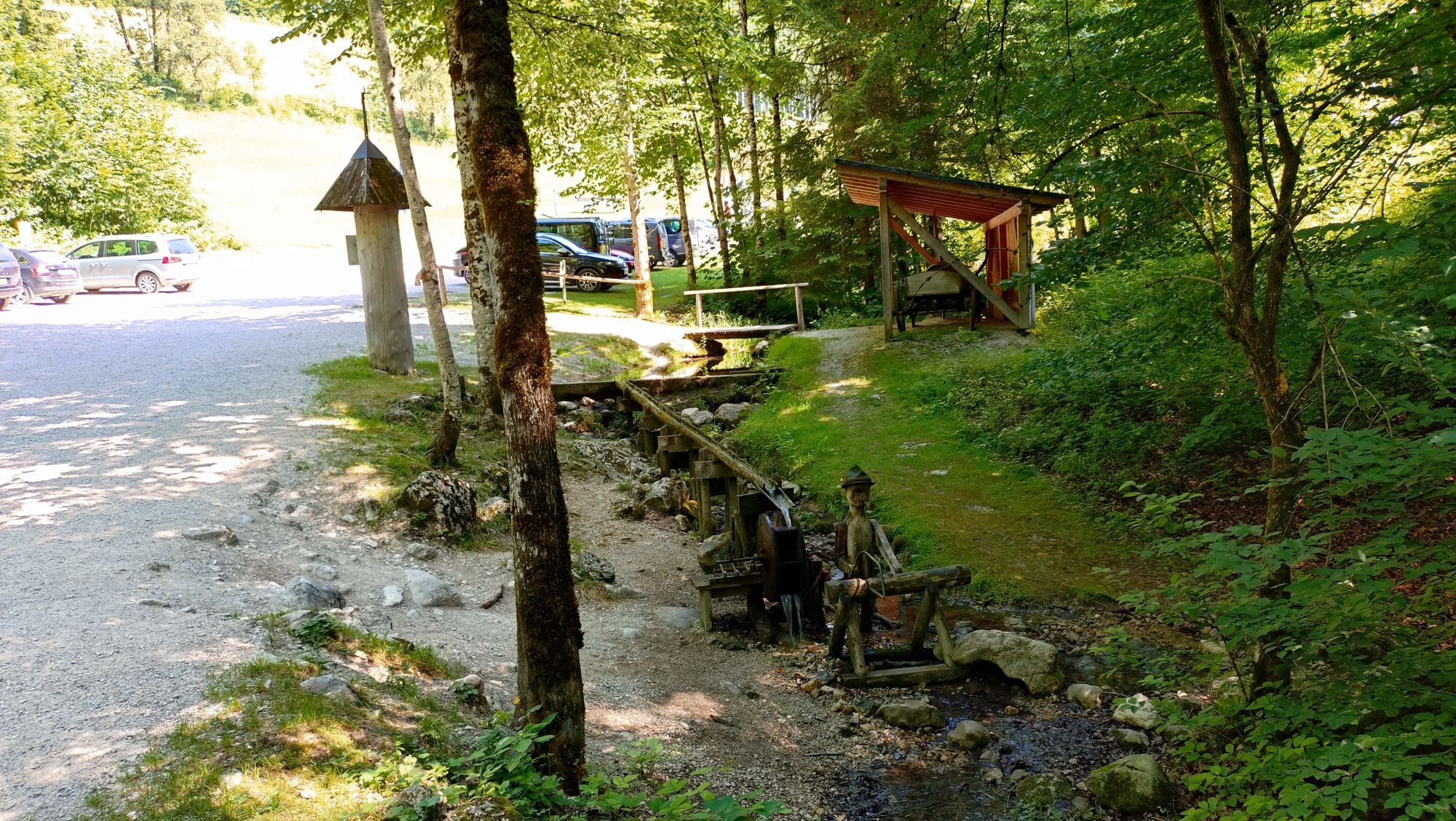
Then follows a fast descent as well as some flat sections to Gußwerk. Here begins the almost 50 km long ride through the wild romantic Salzatal. Some short climbs have to be mastered here, but essentially it goes steadily downstream. After Salzatal turn right and descend over a short climb to Göstling. A 2.5 km long climb over the Große Kripp still has to be overcome on the last otherwise flat 30 kilometers in the Ybbstal back to Waidhofen.

From Waidhofen an der Ybbs on the B31 to Gstadt - from here B22 to Ybbsitz - 3 km after the town turn right onto L6169 (Zogelsgraben, later Wiesergraben) - right on L92 towards Gaming - Brettl - right B25 towards Mariazell - Gaming - Grubberg - at the Grubbergwirt turn left towards Mariazell (B71) - continue on B71 - Langau - Holzhüttenboden - Neuhaus - Taschelbach - Zellerrain - just before Mariazell - right onto B20 - Gußwerk - right onto B24 - Weichselboden - Prescenyklause - Wildalpen - right onto B25 - Lassing - Göstling an der Ybbs - left B31 direction Waidhofen - St.Georgen/Reith - right over Ybbs bridge onto L98 - Große Kripp - Opponitz - right B31 direction Waidhofen - Waidhofen/Ybbs
Road bike (translation from e.g. 34/27 is recommended at Zellerrain)
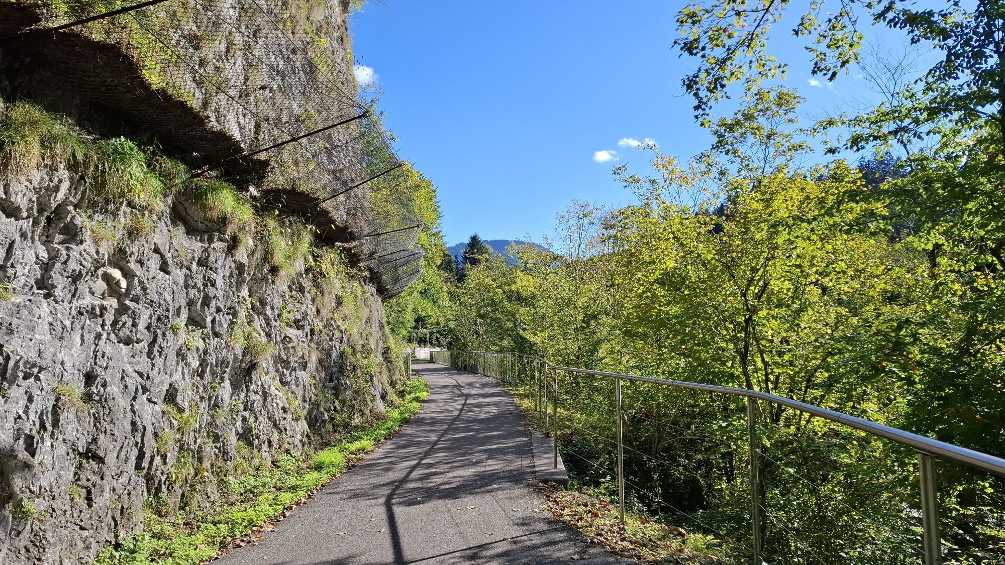
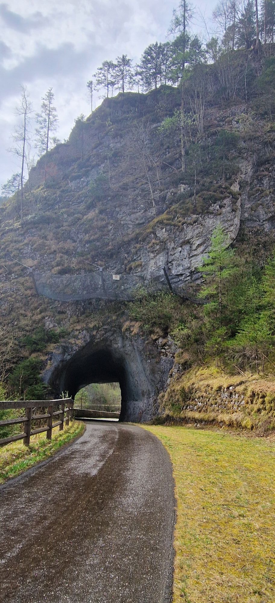
Hardly any dangerous sections or descents, road surface in Salzatal partially uneven.
Coming from the A1 motorway: exit Amstetten West, B121 to Waidhofen an der Ybbs
Arrival with ÖBB (Rudolfsbahn) from/via Amstetten.
You can take your bike on most regional and long-distance trains. In Austria you need a special bike ticket for this, and you can also buy weekly or monthly passes for your bike. For international routes, ÖBB offers the Biking International Ticket.
numerous park & ride options in Waidhofen
3
Tourism IG Ybbstaler Alps
Schlossweg 2
3340 Waidhofen/Ybbs
www.ybbstaler-alpen.at/rennrad
+43-7442-93049
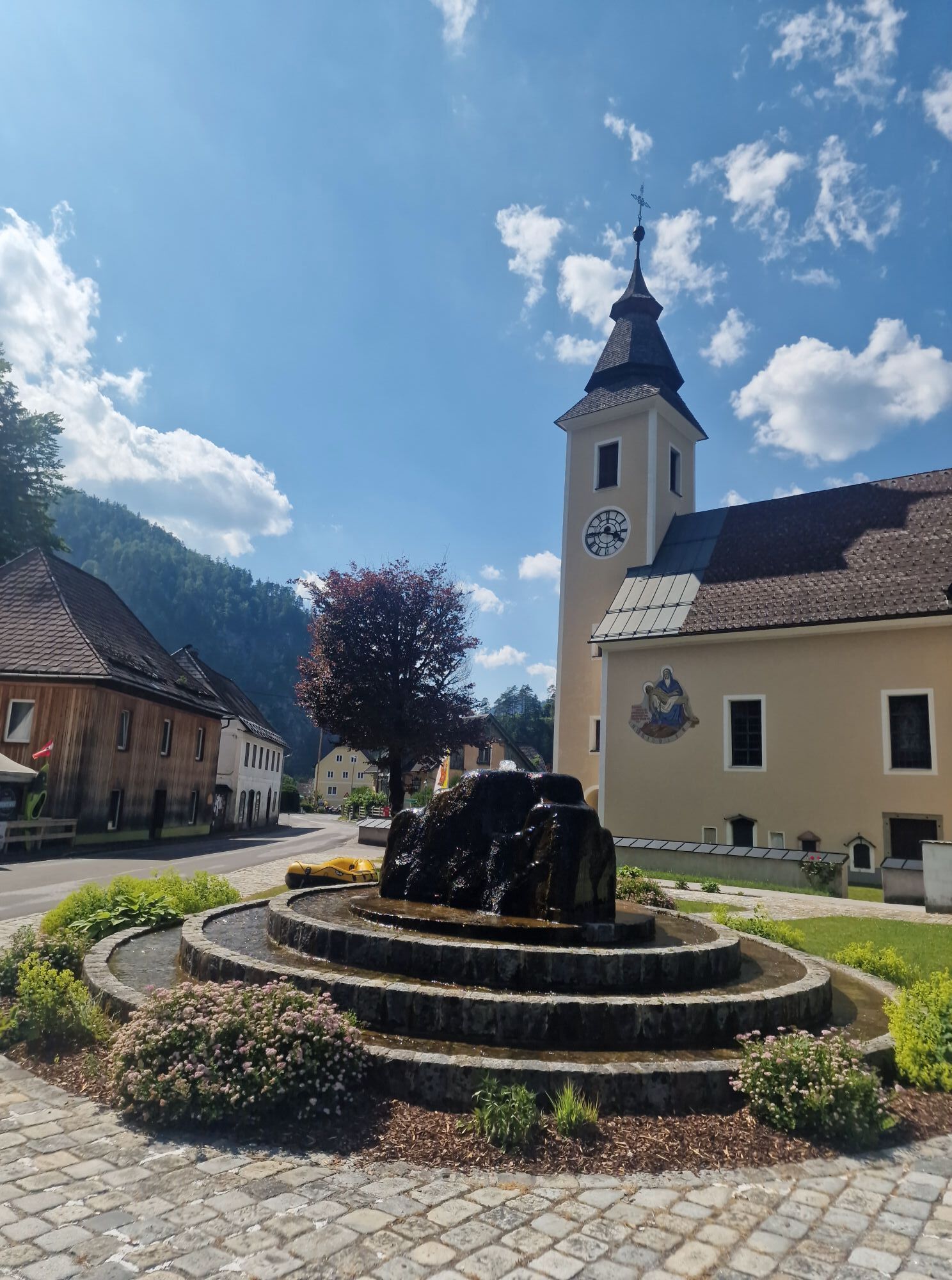
Refill supplies at the gas station or grocery store in Gußwerk - there will be no further opportunities for a long time!
Webové kamery z prehliadky
-
Hochkar
-
Mariazeller Bürgeralpe - Berggasthof
-
Zuckerwiese
-
Gemeindealpe Mittelstation
-
Eibenkogl Bergstation
-
Schiestlhaus
-
Lunz am See - Maiszinken
-
Sternwarte
-
Mariazell
-
Flugplatz St. Sebastian
-
Schiestlhaus
-
JUFA Sigmundsberg
-
Hochkar
-
Hochkar
-
Hochkar
-
Hochkar
-
Eibenkogl Bergstation
-
Eibenkogl Bergstation
-
Eibenkogl Bergstation
-
Hochkar
-
Hochkar Tal
-
Hochkar Tal
-
Hochkar Tal
-
Rundfunkstation Sonntagberg
-
Hochkarbahn Bergstation
-
Hochkarbahn Bergstation
-
Hochkarbahn Bergstation
-
Hochkarbahn Bergstation
-
Hochkarbahn Bergstation
-
Hochkarbahn Bergstation
-
Hochkarbahn Bergstation
-
Bürgeralpe - Kristallsee
-
Mariazeller Bürgeralpe - Berggasthof
-
Hochkar
-
Mariazell
-
Mariazell
-
Wildalpen - Löwekogel
-
Feldbauer Mariazell
-
Terzerhaus
-
Mittelstation
Obľúbené výlety v okolí
-
4,5
Hochkar - Schmalzmauer - Geißhöhe - Ringkogel - Schwarzalmhütte - Brunneckerhütte
strednáTuristika 13,2 km -
4,3
Das 3 Seen-Erlebnis (Lunzer See - Mittersee - Obersee)
strednáTuristika 9,33 km -
4,3
Rund um den smaragdgrünen Lunzer See
svetloTuristika 4,80 km -
5,0
Von Lackenhof auf den Ötscher
svetloTuristika 5,29 km -
4,8
Panoramic summit Maiszinken - alpine experience included
strednáTuristika 12,6 km -
4,9
Lackenhof ÖTSCHER Rauer Kamm 19.10.2014
ťažkéTuristika 14,1 km -
4,9
Kurzeck- Siebenhütten- Turnhöhe- Kitzhütte Göstling an der Ybbs, Österreich
svetloTuristika 12,8 km -
4,6
Lechner Graben - Ybbstaler Hütte
strednáTuristika 14,2 km -
4,5
Gföhler Alm - Rainstock - Schleierfall
strednáTuristika 13,6 km -
4,1
wanderung auf den alpl
strednáTuristika 8,18 km

Turistika a stopovanie


Nenechajte si ujsť ponuky a inšpiráciu na ďalšiu dovolenku
Vaša e-mailová adresa bol pridaný do poštového zoznamu.