


stp Route #6 Gutenstein Alps
Úroveň náročnosti: 4
Fotografie našich používateľov
-

 © Walter KöllnerVytvorené dňa 07.09.2025
 -
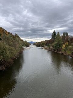
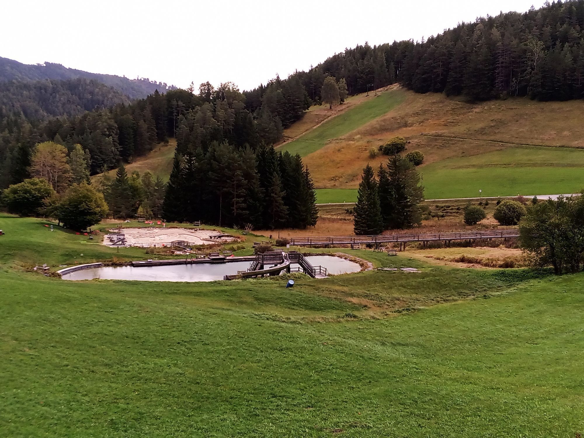
 © Sweet I‘mVytvorené dňa 13.10.2024
 -

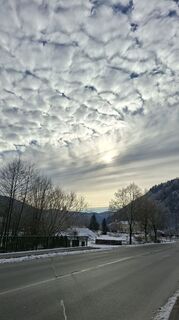
 © Erwin KrumböckVytvorené dňa 08.10.2023
 -
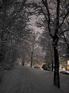
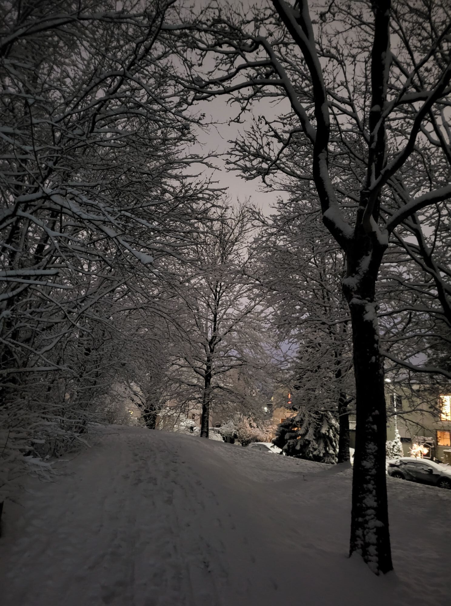
 © Magda MoldaVytvorené dňa 26.12.2025
 -
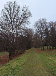
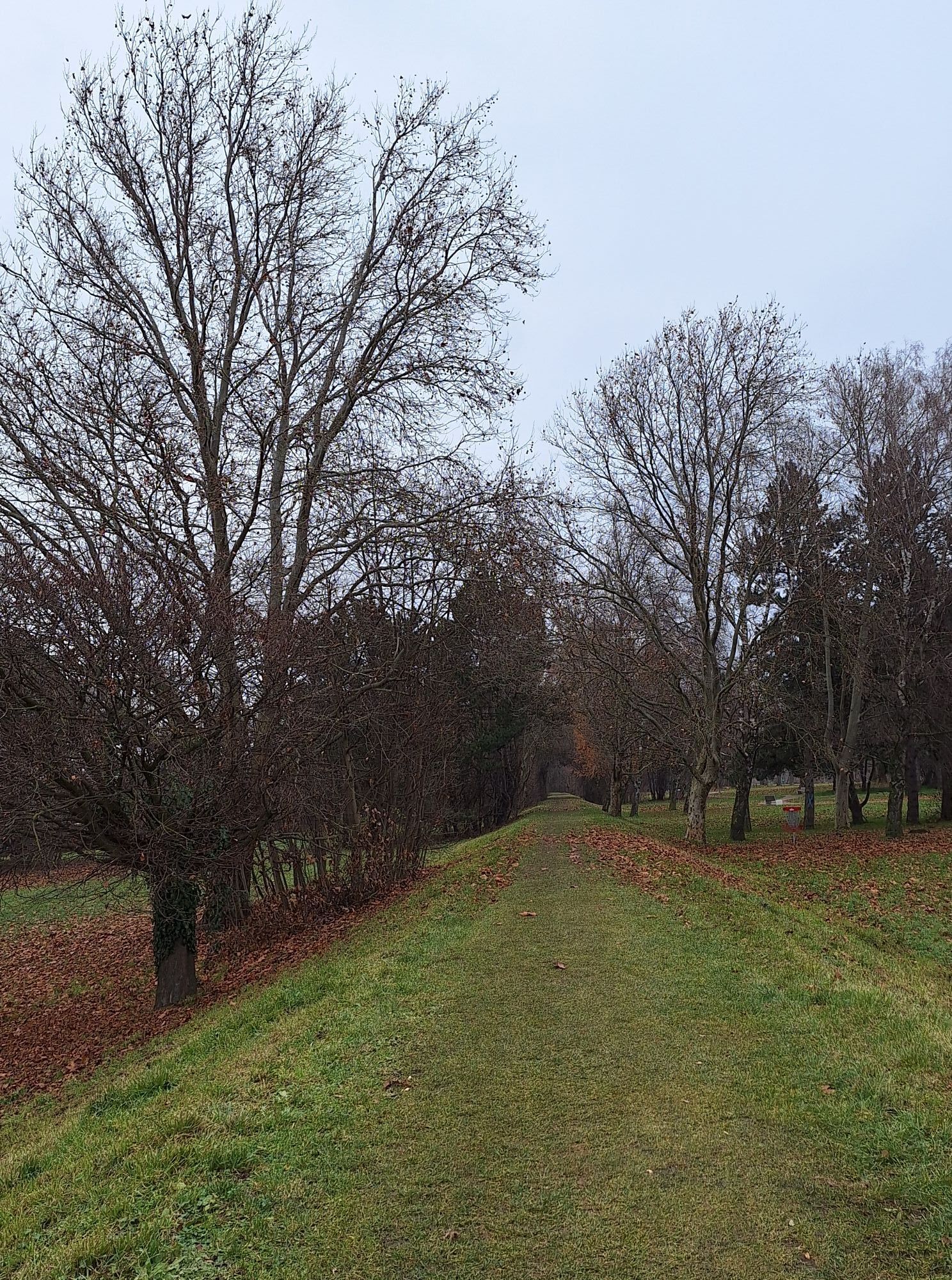
 © BergfexxMaxxVytvorené dňa 24.12.2025
 -
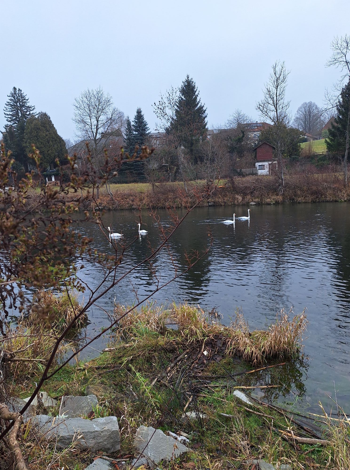
 © MimiVytvorené dňa 03.12.2025
 -
 © MimiVytvorené dňa 03.12.2025
 -
 © MimiVytvorené dňa 03.12.2025
 -
 © DieTutnixeVytvorené dňa 26.10.2025
 -

 © Richard BaďuraVytvorené dňa 30.08.2025
 -
 © Andreas HanzalekVytvorené dňa 16.08.2025
 -
 © Elisabeth Ebner 1Vytvorené dňa 16.07.2025
 -
 © BergfexxMaxxVytvorené dňa 08.04.2025
 -
 © Christian KakuskaVytvorené dňa 06.03.2025
 -
 © Christian KakuskaVytvorené dňa 06.03.2025
 -
 © Ernst BrezinaVytvorené dňa 20.02.2025
 -
 © Ernst BrezinaVytvorené dňa 19.02.2025
 -
 © Ernst BrezinaVytvorené dňa 11.02.2025
 -
 © Ernst BrezinaVytvorené dňa 11.02.2025
 -
 © Ernst BrezinaVytvorené dňa 11.02.2025
 -
 © bremsradVytvorené dňa 07.10.2024
 -
 © Leo FahrngruberVytvorené dňa 15.11.2020
 -
 © Leo FahrngruberVytvorené dňa 15.11.2020
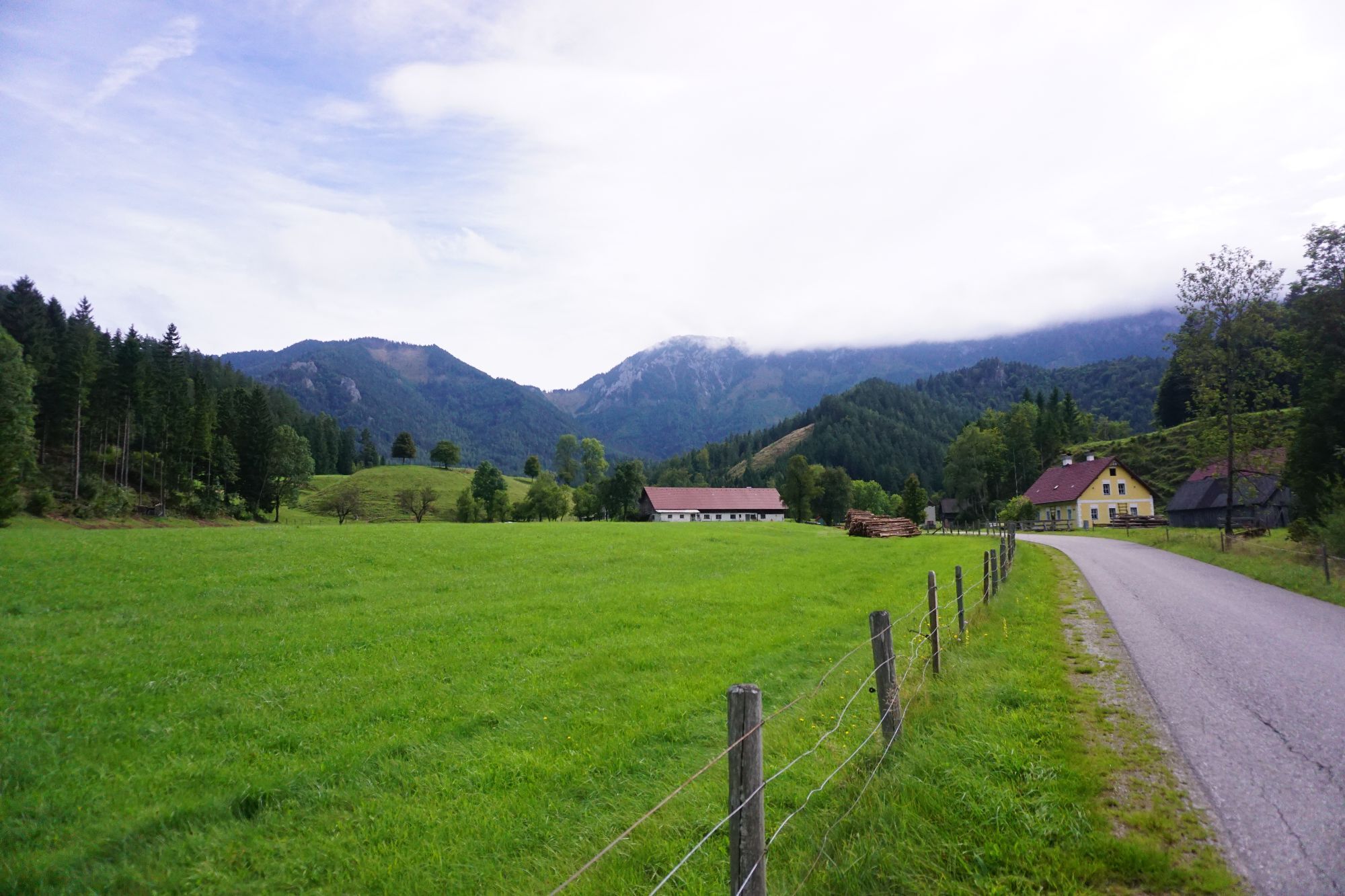
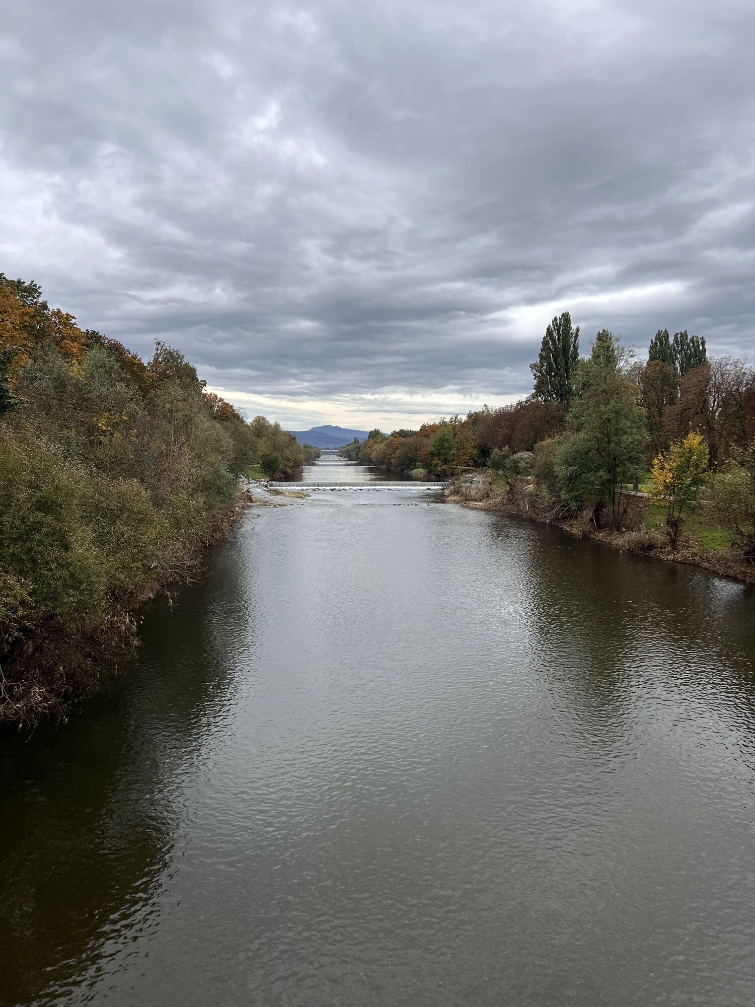


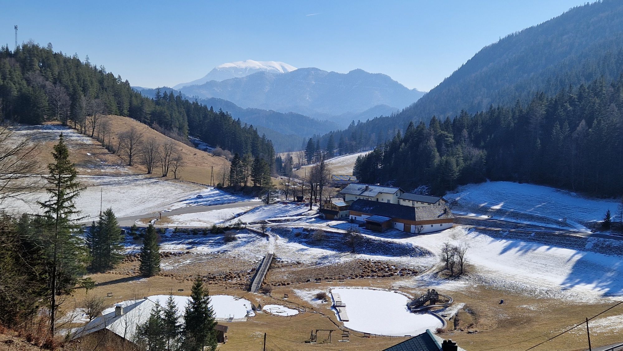


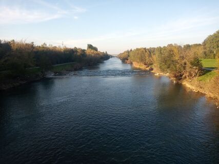
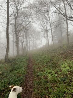
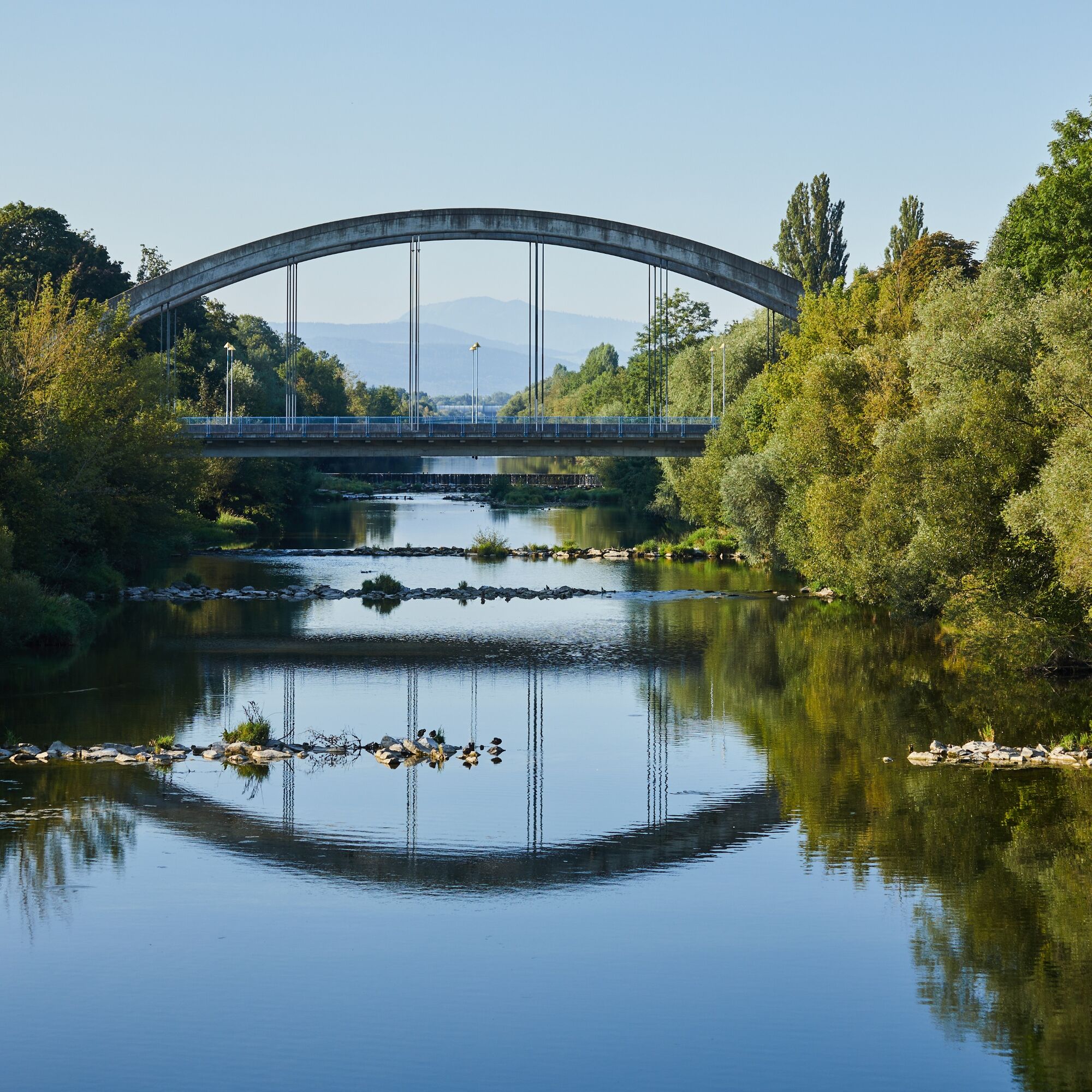
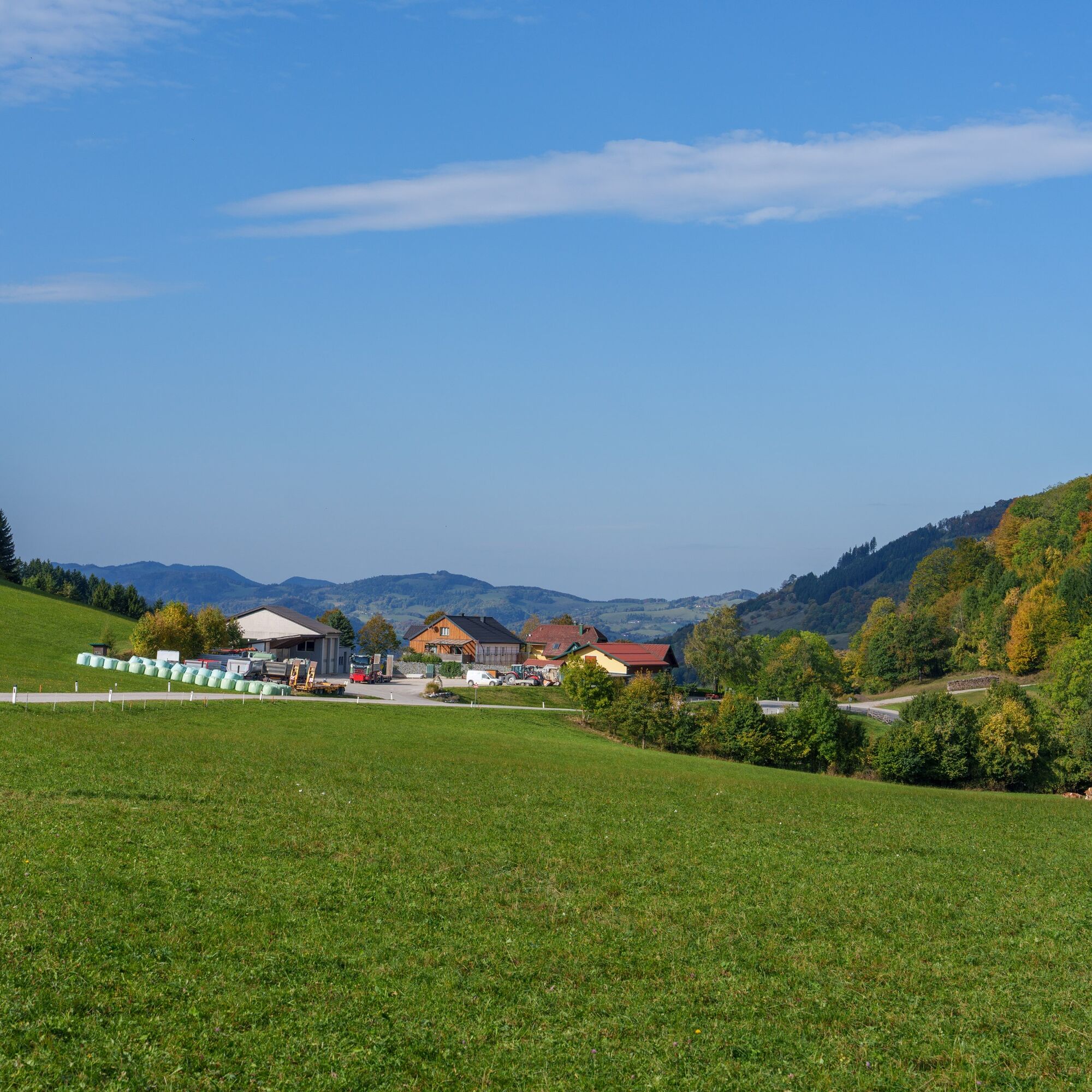
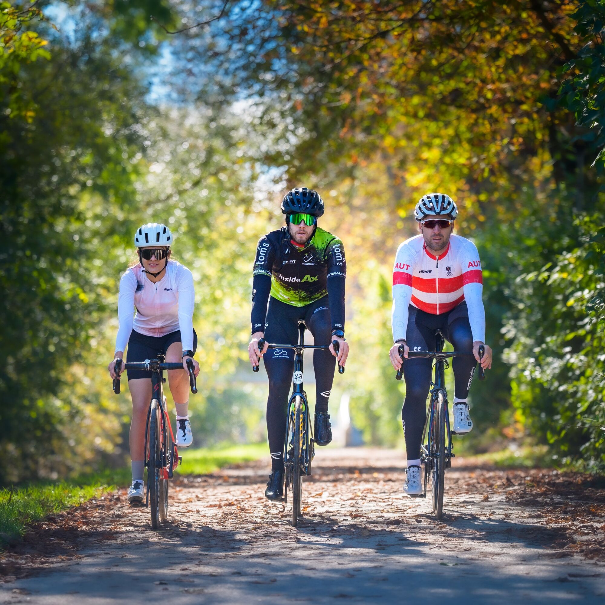
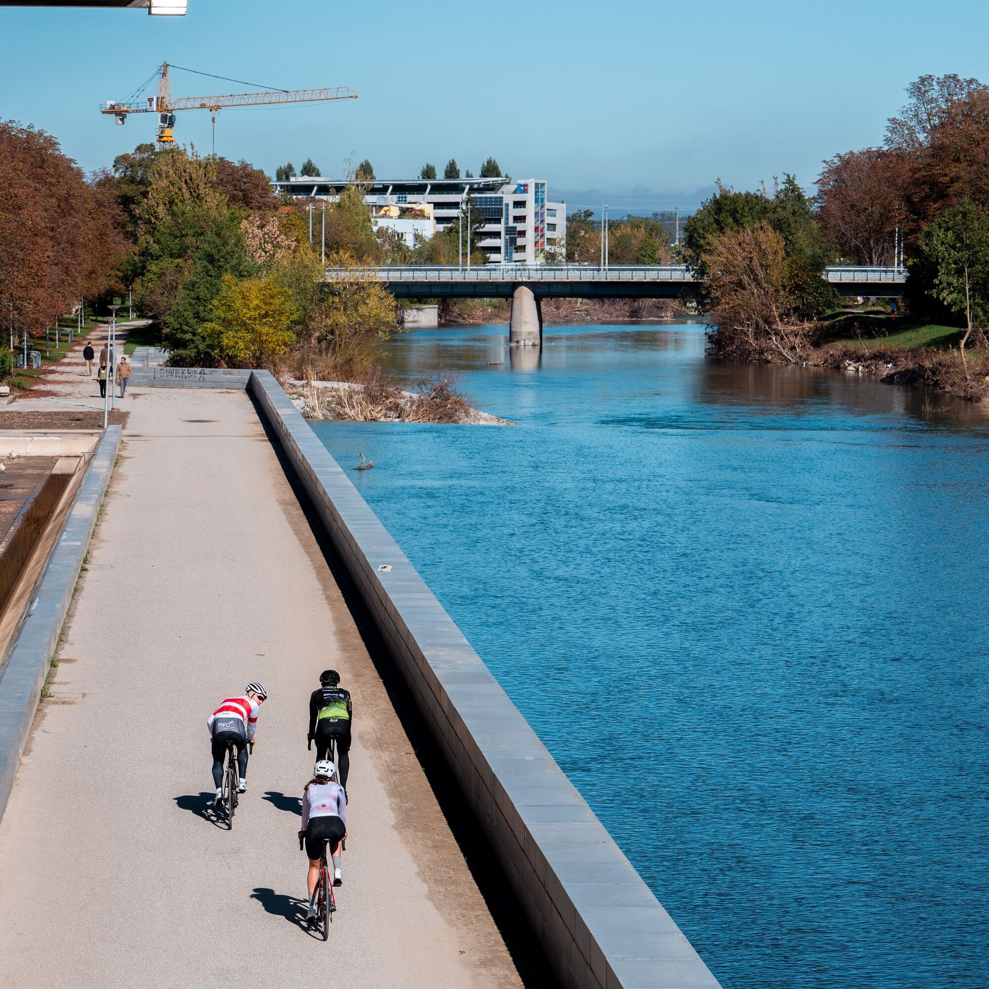
Over 114 kilometers and 1,370 meters of elevation, this demanding road bike route leads into the charming region of the Gutenstein Alps. Before that, you have to conquer the Morigraben, the connection...
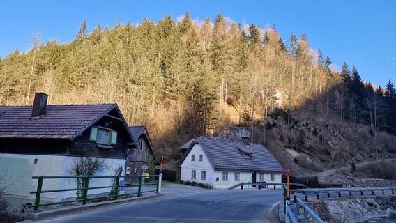
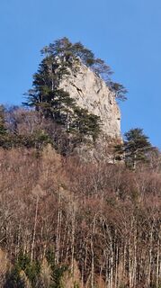
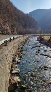
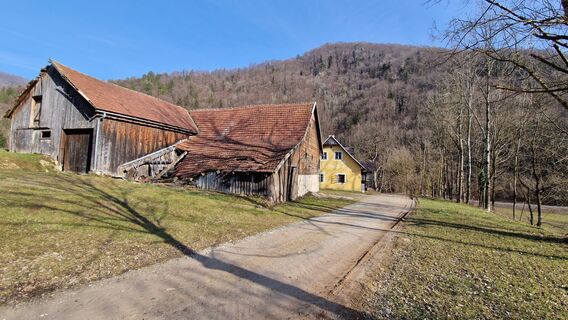
Over 114 kilometers and 1,370 meters of elevation, this demanding road bike route leads into the charming region of the Gutenstein Alps. Before that, you have to conquer the Morigraben, the connection between the Traisen and Pielach valleys, before continuing to the legendary Ochssattel as well as the Kalte Kuchl (tip: stop and enjoy curd/apple strudel). Picturesque valleys, gentle plateaus, and dense forests characterize the route, while charming places such as Eschenau, Hohenberg, and Kleinzell provide variety. Perfect for ambitious cyclists seeking nature and challenge.

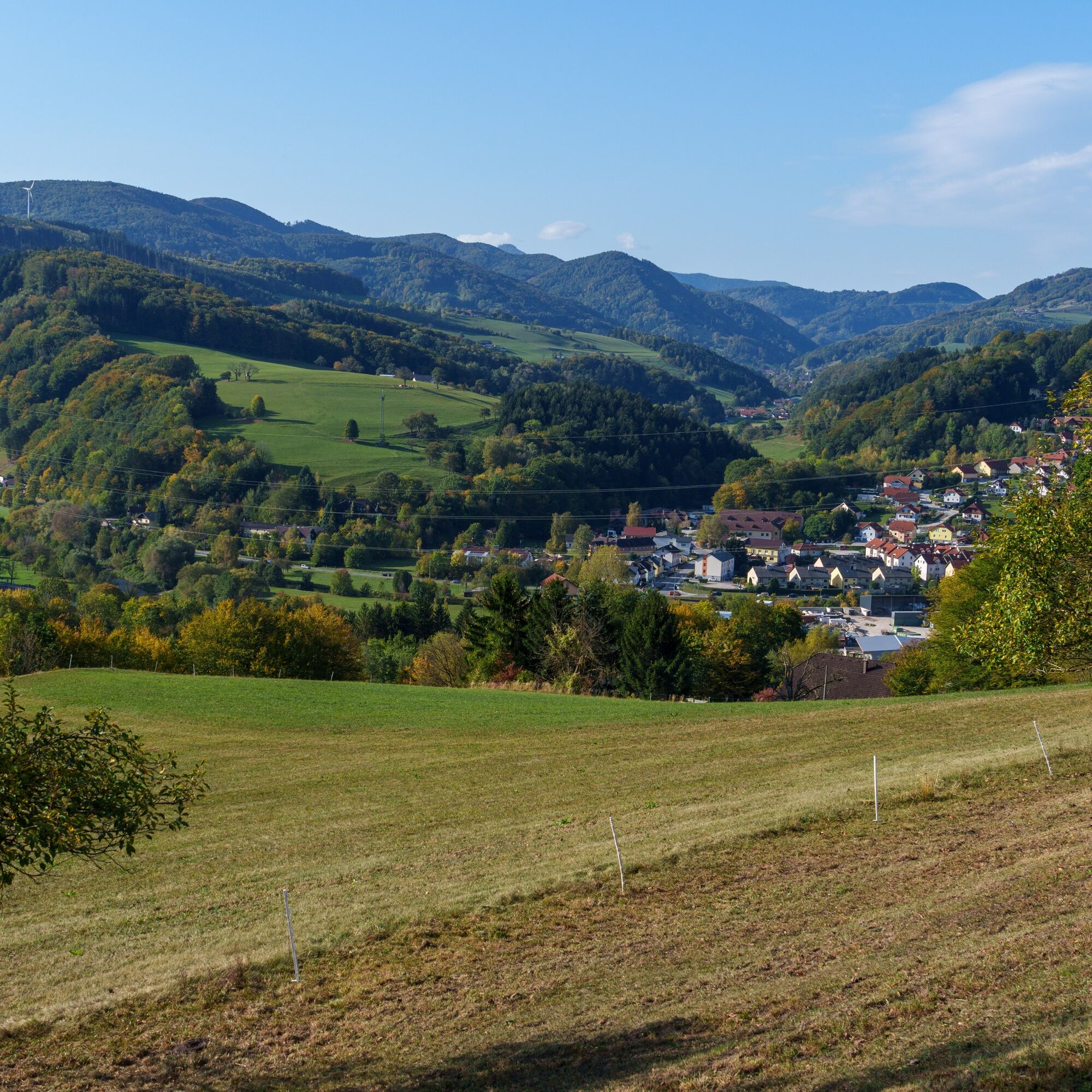
Landhaus St. Pölten – Bike path to Rotheau – Eschenau – Geiseben – Tradigist – Morigraben – Schrambach – Freiland – Hohenberg – Walkmühle – Ochssattel – Kalte Kuchl – Kleinzell – Rainfeld – St. Veit an der Gölsen – Traisen – from Traisen to St. Pölten on the bike path
Access by car via A1 and S33, motorway exit St. Pölten-North or St. Pölten East
St. Pölten is ideally accessible by ÖBB and Westbahn trains. The main station St. Pölten is only a few minutes by bike from the start and end point.
In the area of the government district, paid underground parking spaces are available (partially free of charge in the evenings and on weekends)
4
www.stpoeltentourismus.at
www.st-poelten.at
Webové kamery z prehliadky
-
Hainfelder Hütte am Kirchenberg
-
St. Veit an der Gölsen
-
Hainfelder Hütte am Kirchenberg
-
Hainfelder Hütte am Kirchenberg
-
Staffhütte St. Veit
-
Hochhaus Rennbahnstraße
-
Hochhaus Rennbahnstraße
-
Hochhaus Rennbahnstraße
-
Hochhaus Rennbahnstraße
-
Hochhaus Rennbahnstraße
-
Hochhaus Rennbahnstraße
-
Rabenstein Josef-Franz Hütte
-
Rabenstein Josef-Franz Hütte
-
Obergrafendorf
Obľúbené výlety v okolí
-
4,9
Hohenstein von Sois
strednáTuristika 12,0 km -
4,8
LILIENFELD Grünes Tor Muckenkogel Hinteralm Klosteralm 20201025
strednáTuristika 11,7 km -
4,6
Eisenstein Rundweg von Türnitz-Knedelhof
svetloTuristika 10,2 km -
4,3
Kaiserkogel mit Start und Ziel in Eschenau
svetloTuristika 10,2 km -
4,2
Hainfelder Hütte: Schöner Rundkurs abseits der Massen
svetloTuristika 10,1 km -
4,8
Schrambach Hohenstein Himmel Schrammbach 06.08.2016
strednáTuristika 17 km -
4,5
FURTHOF Dachsgraben Türnitzer Höger Stadelbergkamm Gossental retour 28.08.2018
strednáTuristika 14,4 km -
4,8
Türnitz - Eisenstein Türnitz, Niederösterreich
strednáTuristika 15,5 km -
4,3
Lilienfeld Kolm Hinteralm Traisenhütte 20.02.2017 leichte Schitour
svetloSkitour 11 km -
4,4
Hohenstein 1195m - Sois im Pielachtal
svetloTuristika 10,6 km
Turistika a stopovanie


Nenechajte si ujsť ponuky a inšpiráciu na ďalšiu dovolenku
Vaša e-mailová adresa bol pridaný do poštového zoznamu.