


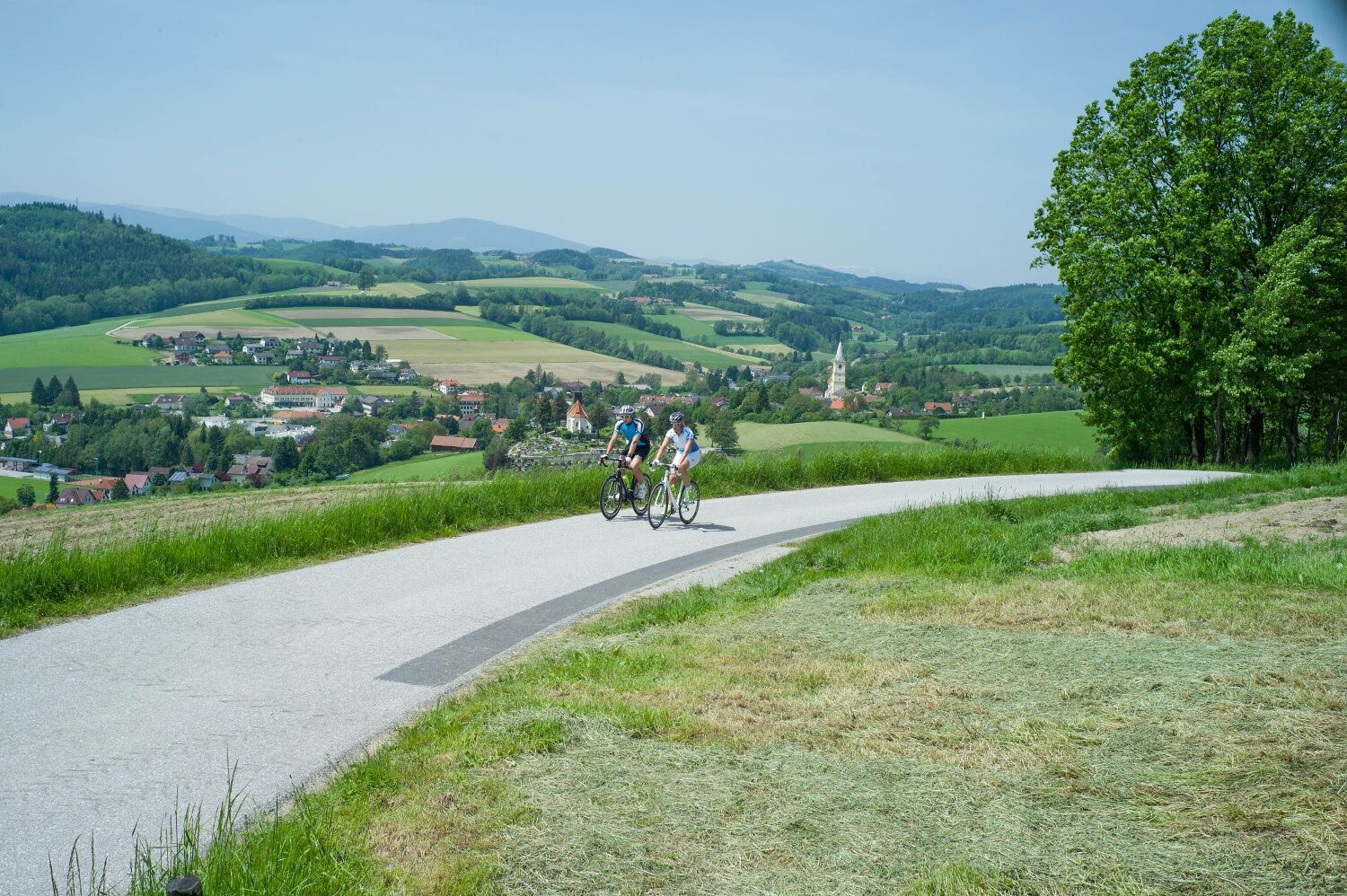
Road cycling route through the Wiener Alpen
Fotografie našich používateľov
-
 © RudolfVytvorené dňa 01.09.2025
 -

 © Hubert SellnarVytvorené dňa 01.09.2025
 -

 © inrulseipulVytvorené dňa 29.09.2023
 -
 © Friedrich ReicherVytvorené dňa 26.04.2026
 -

 © Dmitriy SivkovVytvorené dňa 24.04.2026
 -
 © Dmitriy SivkovVytvorené dňa 24.04.2026
 -
 © Maria KönigVytvorené dňa 18.04.2026
 -

 © BergpiratVytvorené dňa 05.03.2026
 -

 © Hubert SchwaighoferVytvorené dňa 11.01.2026
 -
 © enipeus 65Vytvorené dňa 16.12.2025
 -
 © enipeus 65Vytvorené dňa 16.12.2025
 -
 © EP87Vytvorené dňa 01.11.2025
 -
 © EP87Vytvorené dňa 01.11.2025
 -

 © Tom_Pils 2700Vytvorené dňa 26.10.2025
 -
 © Fischermichaela03Vytvorené dňa 26.10.2025
 -
 © Fischermichaela03Vytvorené dňa 26.10.2025
 -
 © Pete KVytvorené dňa 27.08.2025
 -
 © Pete KVytvorené dňa 27.08.2025
 -
 © WanderschuhVytvorené dňa 05.07.2025
 -
 © BergpiratVytvorené dňa 13.06.2025
 -

 © Benedikt FerchVytvorené dňa 09.06.2025
 -
 © Andrea Opitz-JandrisitsVytvorené dňa 07.06.2025
 -

 © Helmut PachmanVytvorené dňa 13.05.2025
 -
 © WanderschuhVytvorené dňa 03.05.2025
 -

 © RfelbingVytvorené dňa 30.03.2025
 -

 © Ma Pi 1Vytvorené dňa 01.02.2025
 -

 © Gabi H. 1Vytvorené dňa 19.01.2025
 -
 © Gabi H. 1Vytvorené dňa 19.01.2025
 -
 © Gabi H. 1Vytvorené dňa 19.01.2025
 -

 © EderoVytvorené dňa 01.12.2024
 -
 © Raoul NicolasVytvorené dňa 08.07.2023
 -

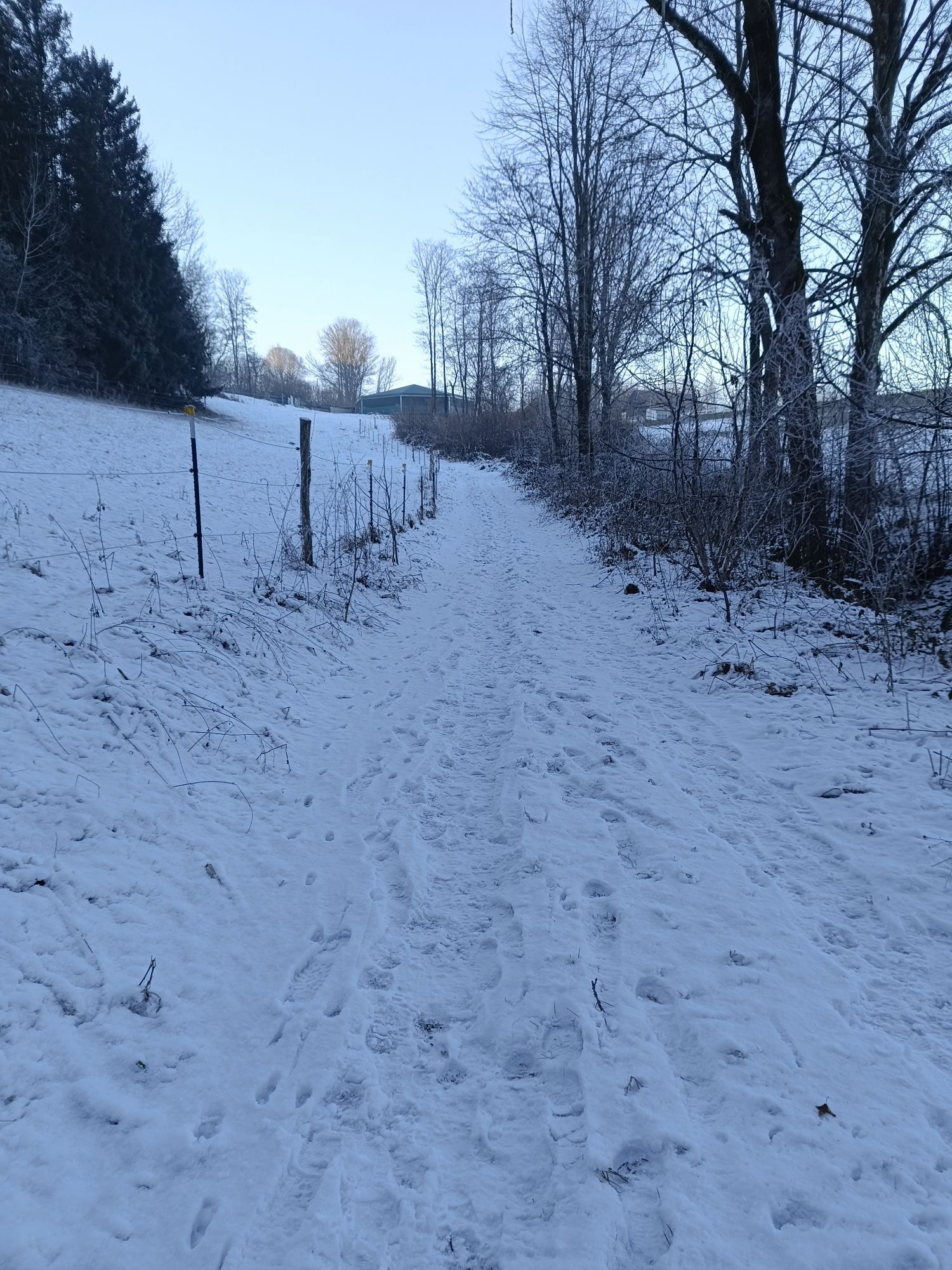
 © eva_mountaininloveVytvorené dňa 21.05.2021
 -
 © eva_mountaininloveVytvorené dňa 21.05.2021
 -
 © eva_mountaininloveVytvorené dňa 21.05.2021
 -
 © eva_mountaininloveVytvorené dňa 21.05.2021

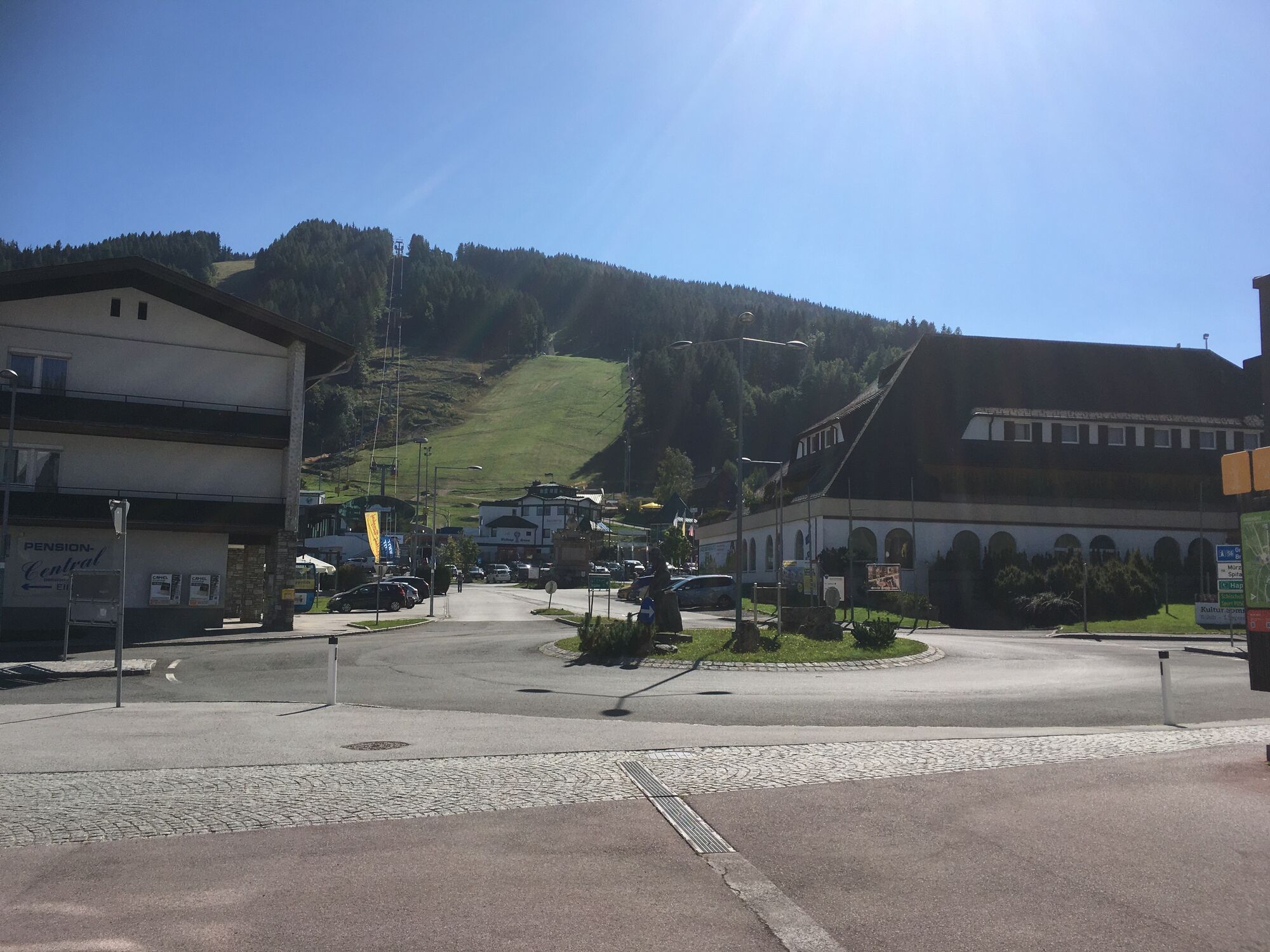

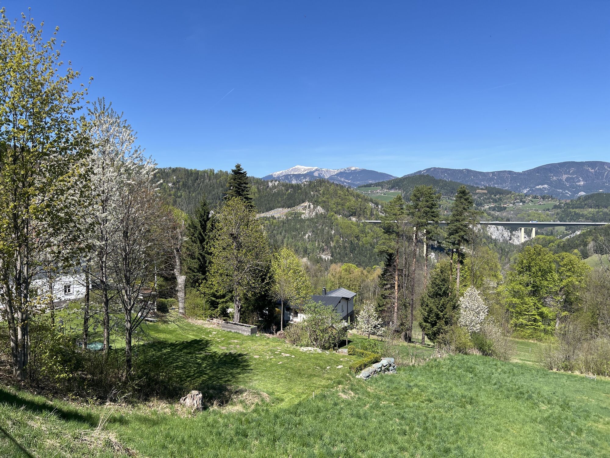


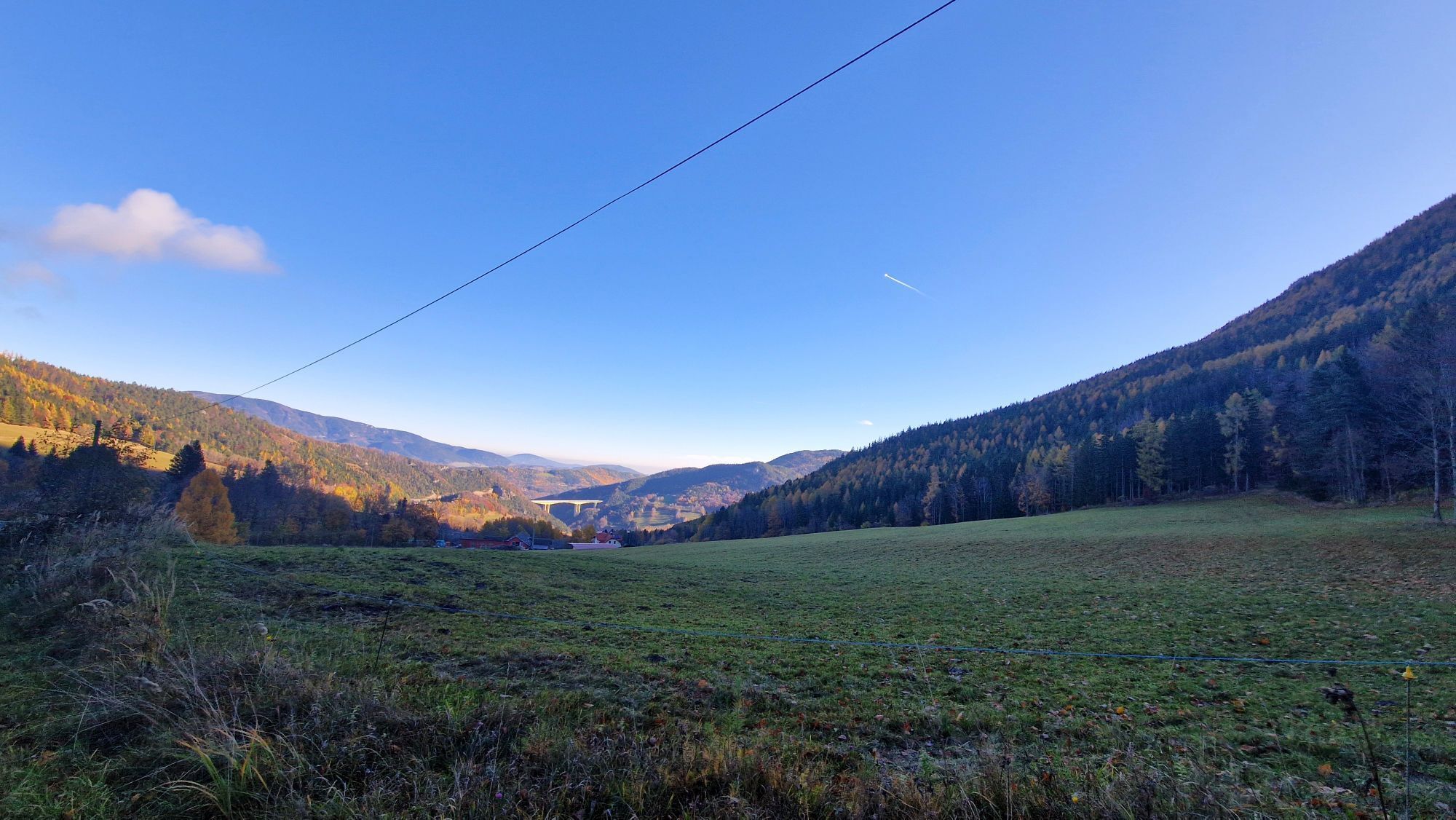


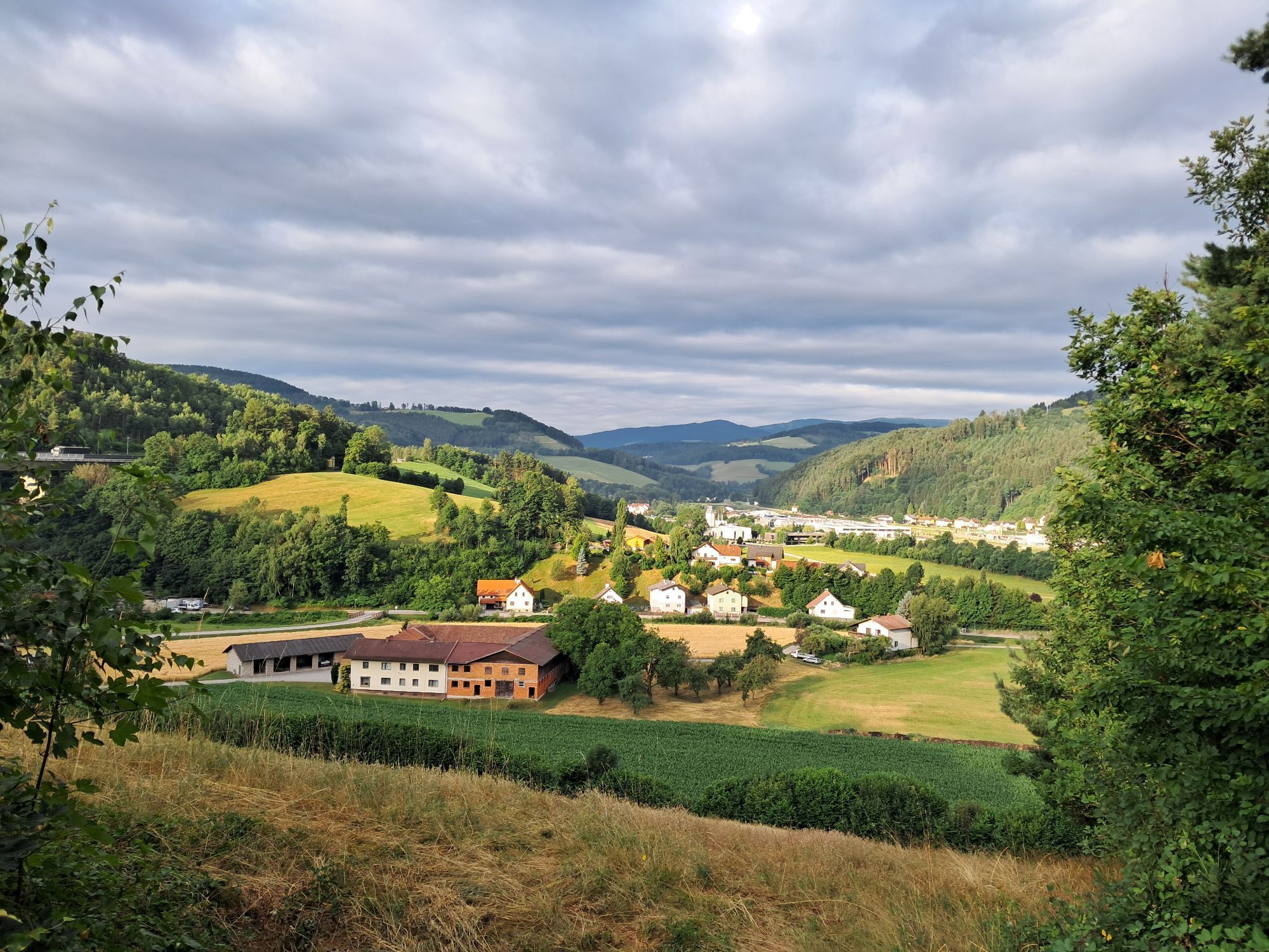
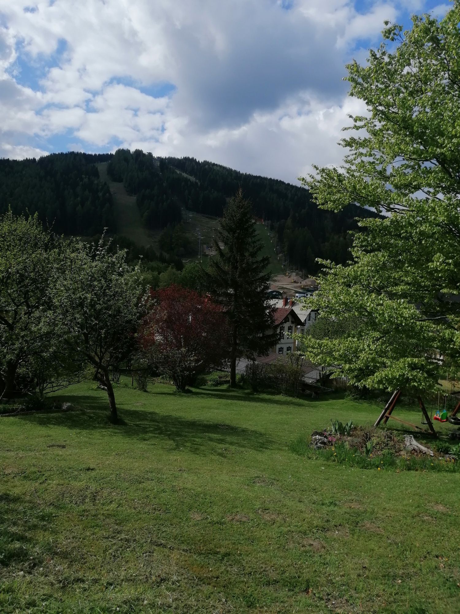

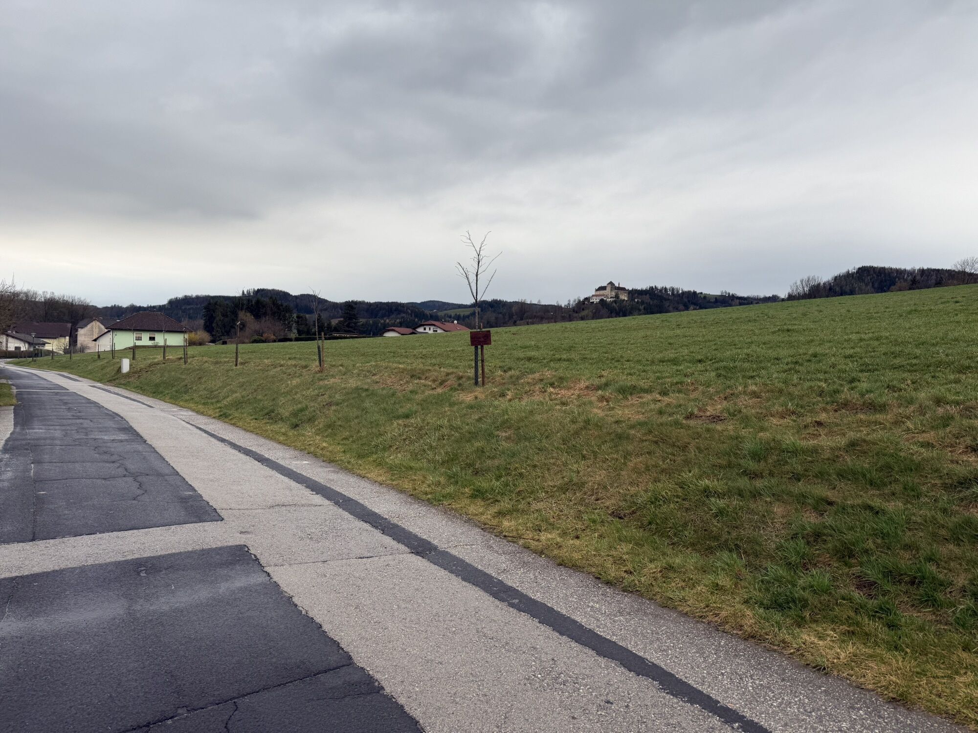


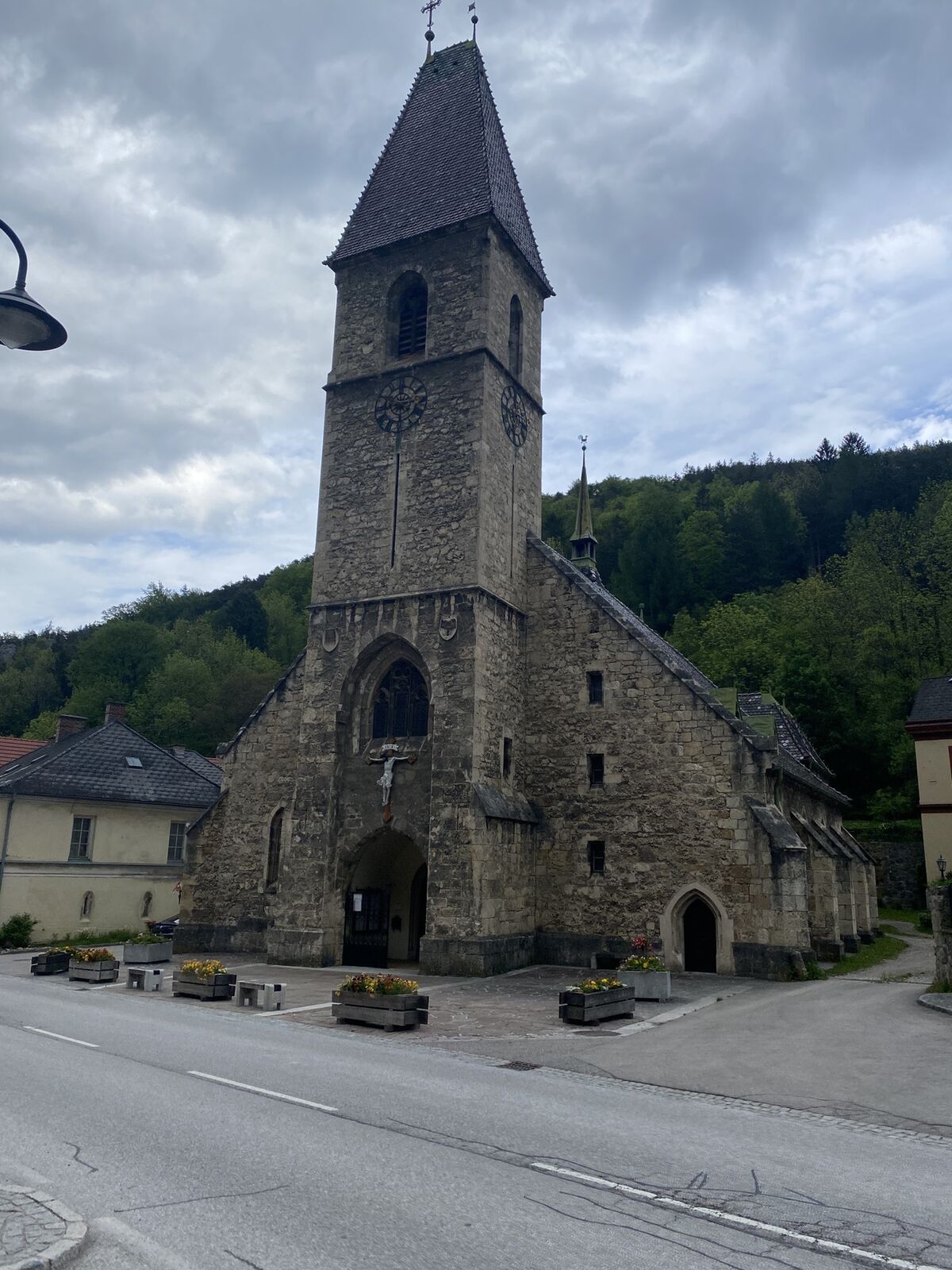
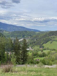
Exactly between Vienna and Graz lies the Bucklige Welt. It is also called the "Land of 1000 Hills." Road cyclists consider the area one of the best, least trafficked, most enjoyable, and most diverse road...
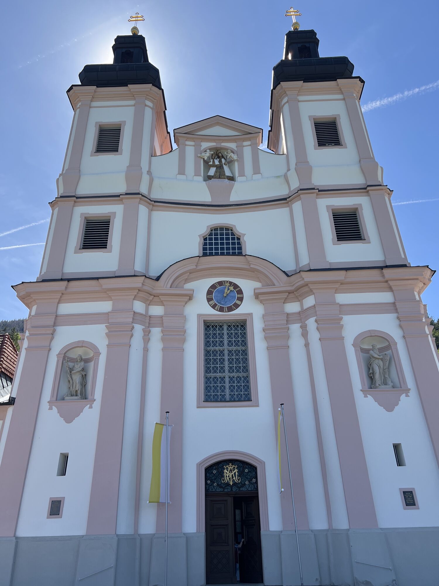
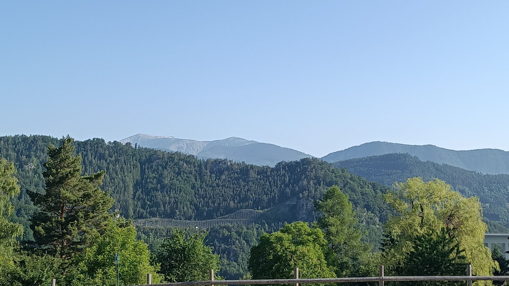
<p>Exactly between Vienna and Graz lies the Bucklige Welt. It is also called the "Land of 1000 Hills." Road cyclists consider the area one of the best, least trafficked, most enjoyable, and most diverse road cycling regions in the German-speaking area. The 1000 hills of the Bucklige Welt offer 1000 possibilities for a successful road cycling holiday, as the riding is not only in flat areas. The hilly ride rewards with breathtaking views. <br /><br />The start in Bad Schönau in the Bucklige Welt is peaceful and gentle. Then it continues toward St. Corona. At the Wechsel, the ride becomes steep and demanding. It goes up to Semmering. Here there is more activity and you find action rather than calm. Via Gloggnitz and Neunkirchen, the route returns to the Bucklige Welt to return to the starting point at the church in Bad Schönau.
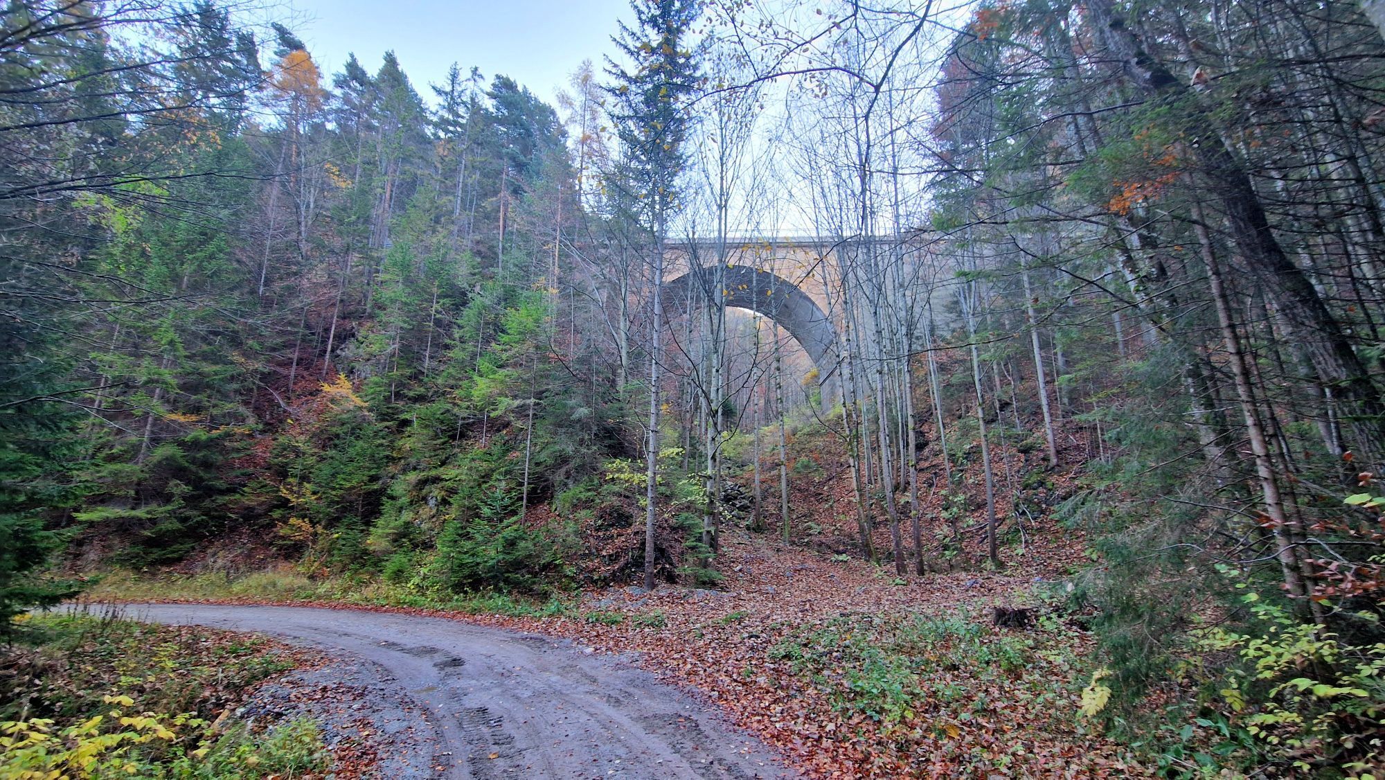
</p><p>Points of interest along the route: The museum village in Krumbach, The Semmering railway World Heritage Site</p>

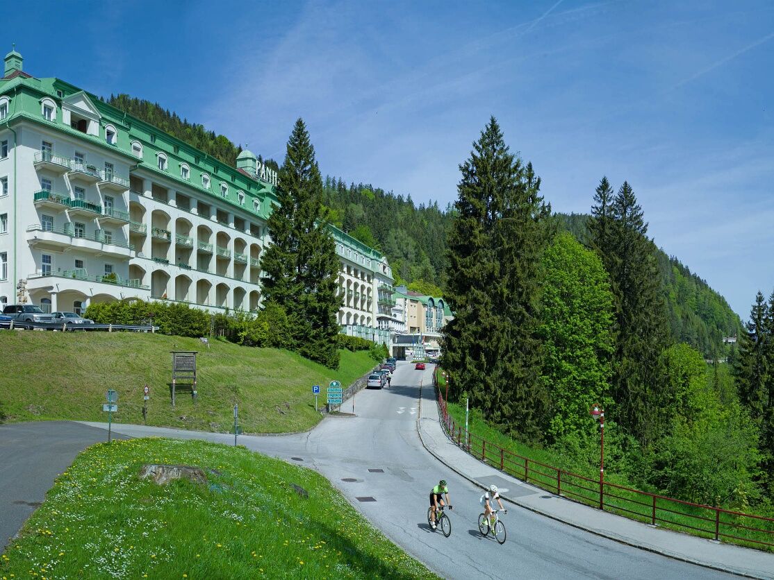
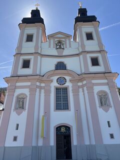
<p>We start in front of the church in Bad Schönau. After 400 m we turn left toward Krumbach. After 5.4 km in Krumbach, we turn left at the Billa. Via Königsegg to Kulma. There we turn left to Aspang. In Aspang at the pond, we turn right. 200 m later, we turn left at the main square. After another 250 m we turn right, after another 200 m we turn left under the bridge toward St. Corona. We follow the road to Kirchberg. There we turn left onto L134 toward Otterthal. We continue straight toward Trattenbach. Over the Feistritzsattel to Rettenegg. In Rettenegg we turn right, after 200 m right again toward Fröschnitz near Steinhaus. In Steinhaus we turn right onto Viaduktweg. After 500 m we take the B306 to the Semmering pass summit. At the roundabout at the summit we go straight ahead. Then downhill toward Maria Schutz. We follow the road over Göstritz and Schottwien to Gloggnitz. At the roundabout in Gloggnitz we take the 2nd exit slightly to the right. After the roundabout, we continue on the B26. At the traffic light we turn left toward Neunkirchen. In Neunkirchen, at the 2nd traffic light, right. At the next two roundabouts straight ahead. Through Natschbach/Loipersbach straight ahead to Seebenstein. There we turn right onto the B54. On the B54, we continue to Grimmenstein, where we turn left onto the B55. We follow the road via Krumbach to Bad Schönau and turn right back to the start.</p>
<p>From Vienna and Graz, it is about 100 kilometers each to Bad Schönau. Take the A2 to the Krumbach exit. From there it is 9 kilometers.</p>
<p>From Wr. Neustadt station, bus line 7860 operated by Blaguss Bus goes to Bad Schönau.</p><p>More information at: <a href="www.oebb.at/">www.oebb.at<... and <a href="anachb.vor.at/">www.vor.at<...
<p>Parking is available at the church.</p>
More information:
Wiener Alpen in Lower Austria, www.wieneralpen.at, Tel.: +43 2622 78960
Tourism office Bad Schönau, www.badschoenau.at, Tel.: +43 2646 8284
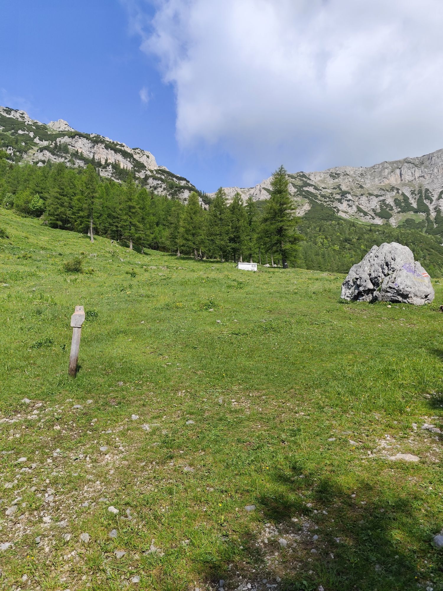
The Hutwisch lookout at 900 m above sea level can be reached on foot and offers a breathtaking view.
Webové kamery z prehliadky
-
Bergstation Semmering Hirschenkogel
-
Bergstation Stuhleckbahn
-
Panoramarestaurant W11
-
Rablkreuzhütte
-
Talstation Steinbachalm
-
Schmoll Lifte - Tal
-
Panorama Stuhleck
-
Bergstation W11 Bahn
-
Bergstation-Promibahn
-
Ganzebenabfahrt
-
Lakeview Park
-
Talstation Happylift Semmering
-
Hochneukirchen
-
Schieferwiese Stuhleck
-
Unternberg
-
Unternberg
-
Semmering Sporthotel
-
Panhanswiese
-
Talstation Semmering Hirschenkogel
-
Bergstation Semmering Hirschenkogel
-
Hochwechsel Wetterkoglerhaus
-
Sonnenlift Stuhleck
-
Wexl Arena St. Corona
-
Wexl Arena St. Corona - Bergstation
-
Kirchberg am Wechsel
-
Stuhleck / Gasthaus Winter
-
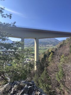
Gloggnitz Tunnelbaustelle
-
Gloggnitz Tunnelbaustelle
-
Hochwechsellifte - Bergstation
-
Krumbach
-
Steinbachalm Bergstation
-
Steinbachalm Piste
-
Kirchschlag - Storchenkamera
-
Semmering Passhöhe
Obľúbené výlety v okolí
-
4,8
Hochwechsel-Runde, Waldbach-Mönichwald
strednáTrailrunning 17,9 km -
3,7
Schwaigen Rundwanderung
svetloTuristika 8,24 km -
4,8
Karl Lechnerhaus - Stuhleck
strednáTuristika 7,81 km -
3,8
St. Corona - Kampstein
strednáTuristika 10,7 km -
4,6
Prigglitz - Pottschacher Hütte - Rote Wand - Prigglitz
svetloTuristika 8,80 km -
4,6
Mariensee - Wildwasserweg - Marienseer Schwaig
svetloTuristika 8 km -
4,6
Bucklige Welt: Auf dem Pittentaler Klettersteig zum Türkensturz
strednáVia ferrata 1,96 km -
4,5
Klamm - Speckbacherhütte - Breitenstein - Klamm
strednáTuristika 13,4 km -
4,5
Vom Semmering nach Breitenstein am Bahnwanderweg (September 2023)
svetloTuristika 9,94 km -
4,5
Schanzkapelle - Kleiner Otter - Mitterotter - Großer Otter - Kummerbauerstadl - von Göstritz Göstritz, Niederösterreich
strednáTuristika 11,6 km

Turistika a stopovanie


Nenechajte si ujsť ponuky a inšpiráciu na ďalšiu dovolenku
Vaša e-mailová adresa bol pridaný do poštového zoznamu.