


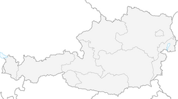


Themenweg Via Rosa

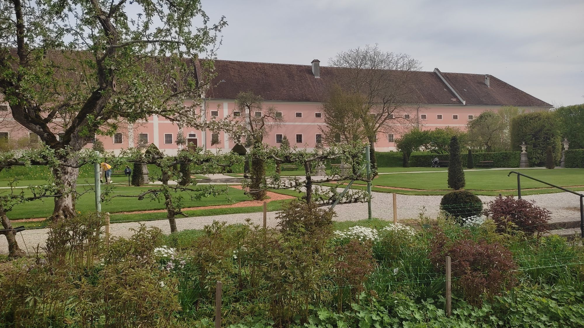
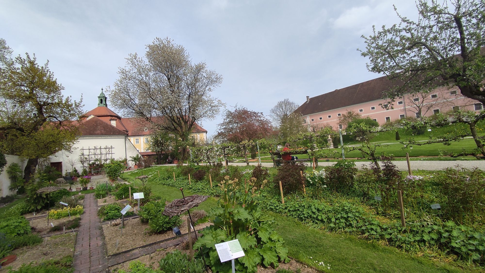
The “Via Rosa” themed trail in Seitenstetten combines nature, culture, and history into a unique experience for all the senses. The approximately 1.75-kilometer loop trail begins in the historic courtyard...
The “Via Rosa” themed trail in Seitenstetten combines nature, culture, and history into a unique experience for all the senses. The approximately 1.75-kilometer loop trail begins in the historic courtyard garden of the Seitenstetten Benedictine Abbey and winds through the town, passing 13 diverse stops along the way. More than 100 historic rose varieties, the Rosary Labyrinth, and fascinating insights into the region’s economic history make the trail a special excursion destination. Audio stations featuring music and literature, the history of the “Peace Rose,” information about the St. Veit branch church, as well as atmospheric views and an artistic rose kaleidoscope connect the past and present in an informative way.

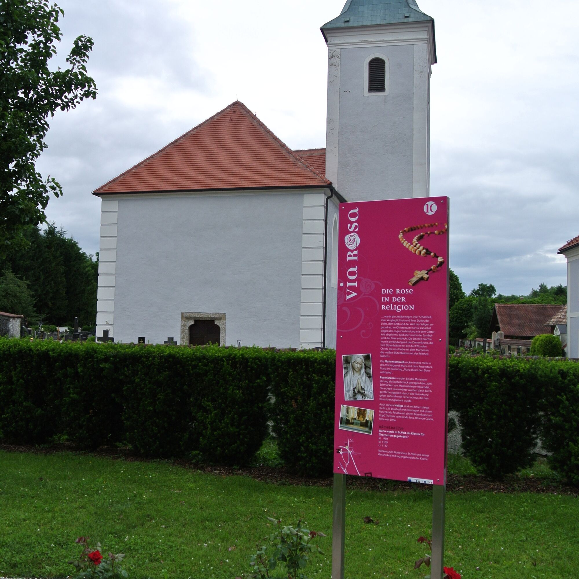
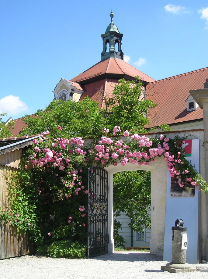
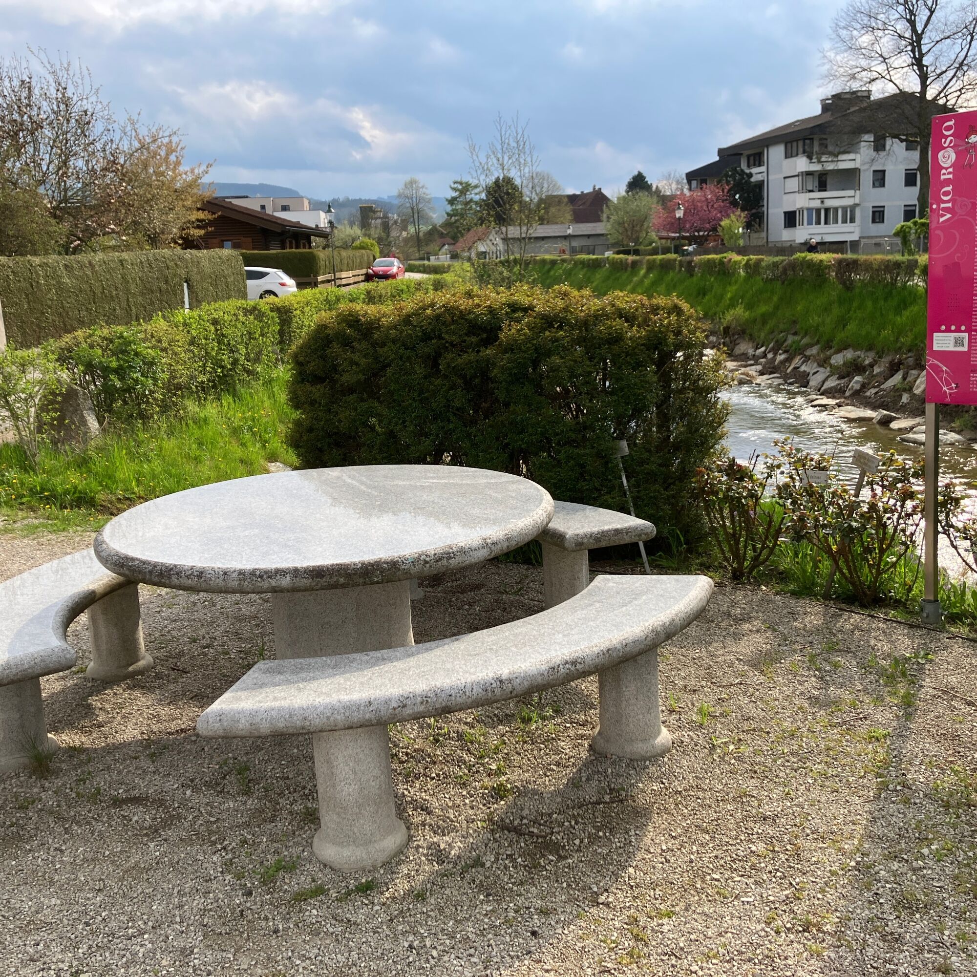
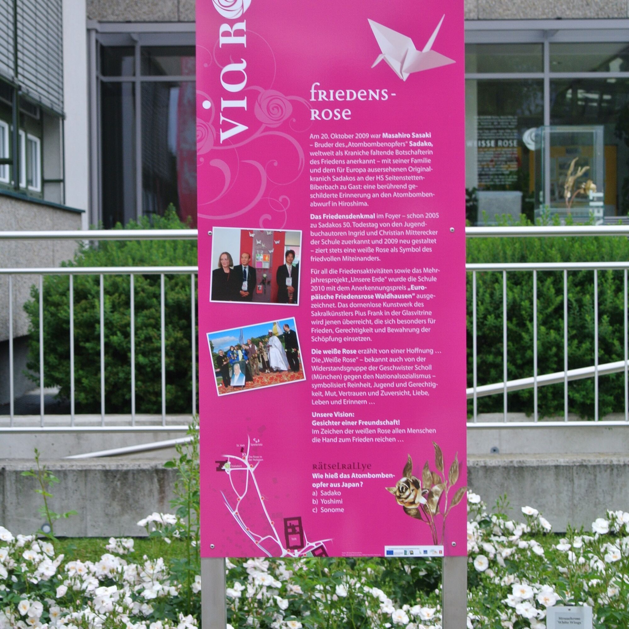

Start at the entrance to the HofgartenStift – Monastery Stairsalong Schulgasse to the bridge – SCS crossingContinue to Gasthaus Ottalong Trefflinggasse to the footbridge – turn rightalong the riverside path to the seating areaContinue to the Peace Rose near the middle schoolContinue to the St. Veit branch churchAlong the soccer field back to the Seitenstetten Benedictine Abbey
By car
From Vienna:
Take the A1 (Westautobahn) to the Amstetten exit. The route to Seitenstetten is well signposted.
From Salzburg:
Take the A1 to the Stadt Haag exit. From there, follow the signs to Seitenstetten.
By train:
The nearest train station is St. Peter-Seitenstetten.
There is a direct bus service from the train station to Seitenstetten
Taxi companies – for your onward travel: We recommend contacting the taxi company well in advance and booking your desired ride ahead of time!
Taxi Raab: 0676 3398 410
You can travel by train and bus; for more information, visit www.oebb.at and www.vor.at. The best way to get there is to take the train to the St. Peter/Au station and then take the regional bus to Seitenstetten.
At the parking lot behind the Meierhof, a 4-minute walk from the Benedictine Abbey.
Parking lot at the soccer field, a 7-minute walk from the Benedictine Abbey.
www.seitenstetten.gv.at
A visit to the St. Veit branch church and a look through the rose kaleidoscope make for a varied walk.

Obľúbené výlety v okolí
-
4,5
Kleine Gipfelrunde Glasenberg
svetloTuristika 4,99 km -
4,3
Freithofberg
strednáTuristika 9,15 km -
4,6
Lindaumauer, Maria Neustift
strednáTuristika 5,53 km -
4,1
Wallsee Altarmrunde
svetloTuristika 8,19 km -
3,9
Lindaumauer (1103 m)
Turistika 3,40 km -
4,5
Sebaldusweg stage 3 of 4 | Maria Neustift - Gaflenz
strednáPútnická trasa 20,4 km -
4,9
Damberg vom Gasthaus Schoiber
svetloTuristika 4,20 km -
3,8
Sebaldusweg | 3 daily stages
strednáPútnická trasa 85,9 km -
4,8
L1 Lindaumauer-Trail
strednáTrailrunning 8,31 km -
5,0
Ybbstal cycle route
ťažkéDiaľková cyklotrasa 108,5 km
Turistika a stopovanie


Nenechajte si ujsť ponuky a inšpiráciu na ďalšiu dovolenku
Vaša e-mailová adresa bol pridaný do poštového zoznamu.


