


Ybbsfeldweg Blindenmarkt
The path runs over Auhof Castle along Lake IV through the floodplain forest to the Günzinger Bridge. Crossing the Ybbs, you reach Truckenstetten and Freidegg up to the next Ybbs crossing, the Hohe Bridge....
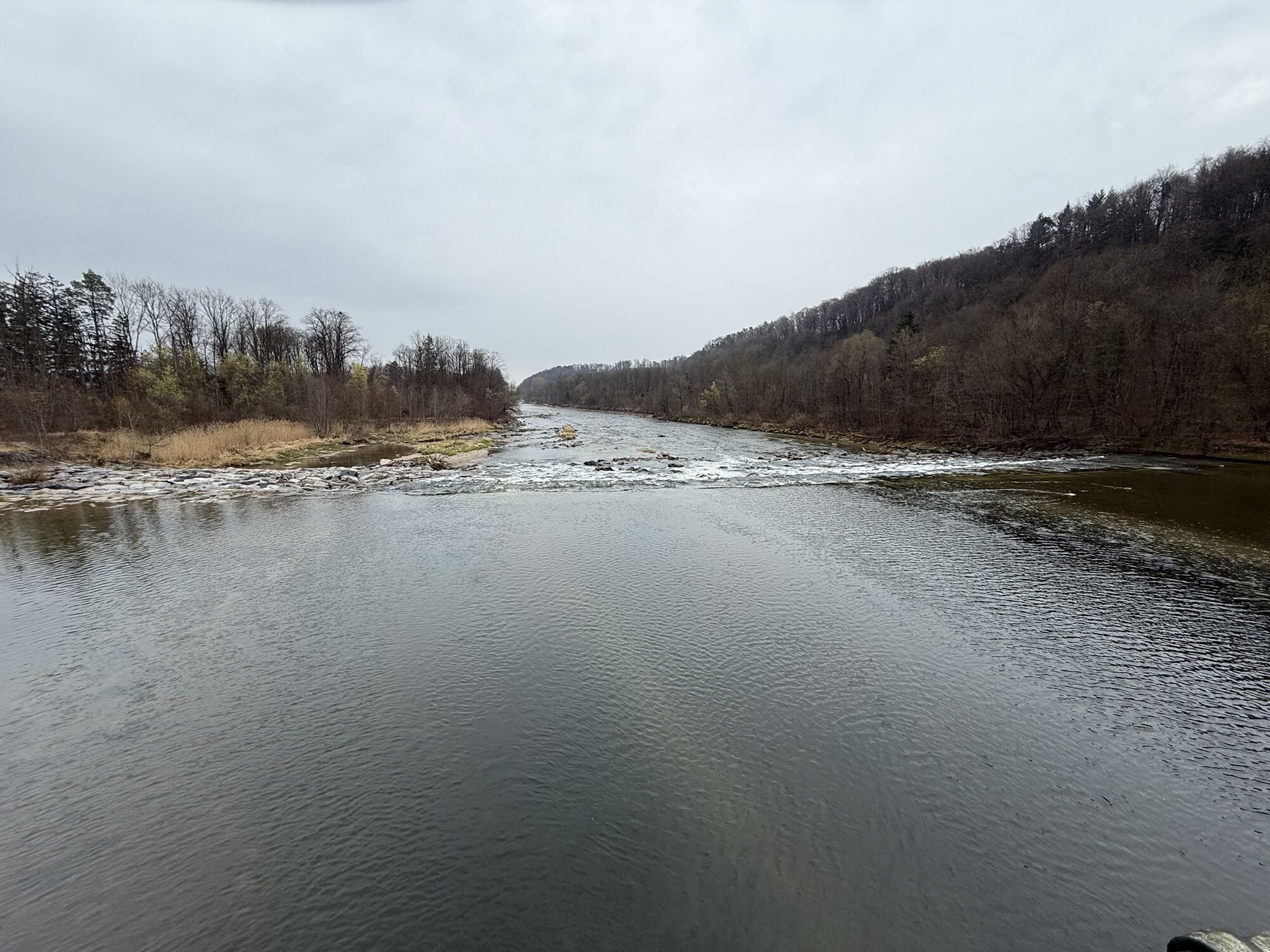
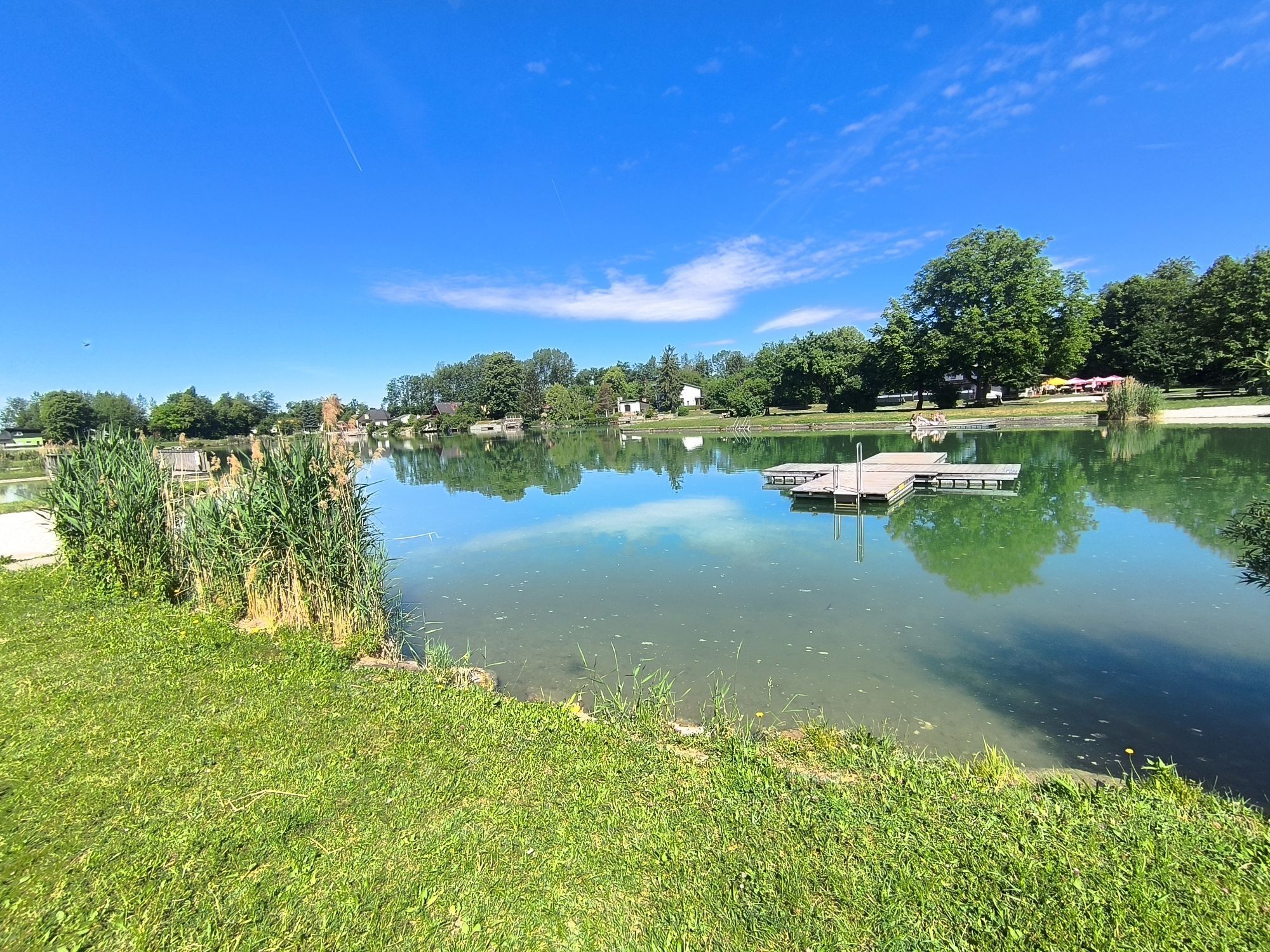
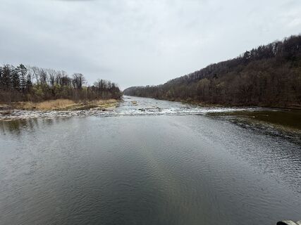
The path runs over Auhof Castle along Lake IV through the floodplain forest to the Günzinger Bridge. Crossing the Ybbs, you reach Truckenstetten and Freidegg up to the next Ybbs crossing, the Hohe Bridge. After this Ybbs crossing, the path leads back towards Blindenmarkt, to the lakes and finally into the town center.


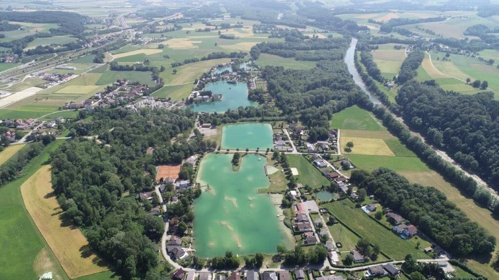
The Blindenmarkt Ybbsfeldweg leads us from the town center to Auhof Castle, via Mühlbachstraße to Lake IV and along the floodplain forest, across the Ybbs near Günzing to Truckenstetten. On the municipality area of Ferschnitz, we reach Freidegg via the hill at Hogbauer and return to the Ybbs. After the Hohe Bridge, crossing large fields, we reach the Blindenmarkt lakes and then back to the town center.
Trail marking: blue-white, no. "9"
Áno
Sturdy footwear
Motorway junction "Amstetten Ost," follow the signs towards Blindenmarkt town center
Take the Westbahn line to the Blindenmarkt stop or the local bus to the Blindenmarkt town center stop
Large park & ride parking lot at Blindenmarkt station near the town center

Obľúbené výlety v okolí
-
4,5
Purgstall Route 3 entlang der Erlauf und Umgebung
svetloTuristika 12,5 km -
4,6
Brandstetterkogel über Matras Steig
svetloTuristika 6,28 km -
4,9
Erlaufschlucht
svetloCanyoning 4,58 km -
4,9
Reidlingberg - Gruber Kreuz - Hochkogel
svetloTuristika 10,0 km -
4,4
tut gut-Routen Hochkogelberg
Turistika 11,0 km -
4,7
Sulzberg-Strecke
strednáMountainbike 29,4 km -
4,7
Kaiser-Strecke
Mountainbike 29,0 km -
4,7
Panoramastüberl - Hochkogel
svetloTuristika 6,45 km -
4,8
Panoramarunde Hengstberg mit Schihütte (Hengstberghütte)
strednáTuristika 9,50 km -
3,5
Freithöh-Runde
svetloTuristika 9,38 km

Turistika a stopovanie


Nenechajte si ujsť ponuky a inšpiráciu na ďalšiu dovolenku
Vaša e-mailová adresa bol pridaný do poštového zoznamu.