







Hinterwaldweg No. 224
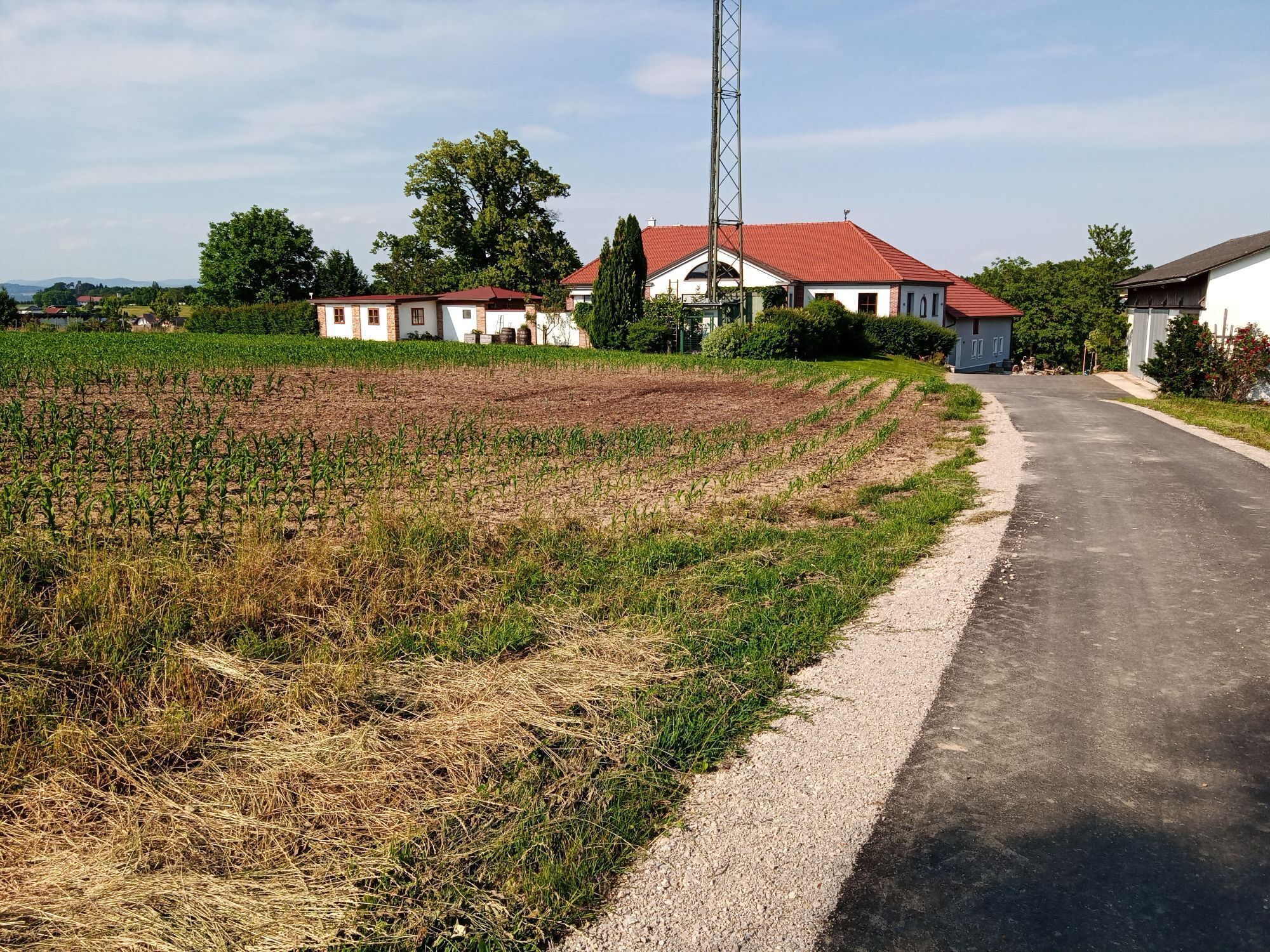
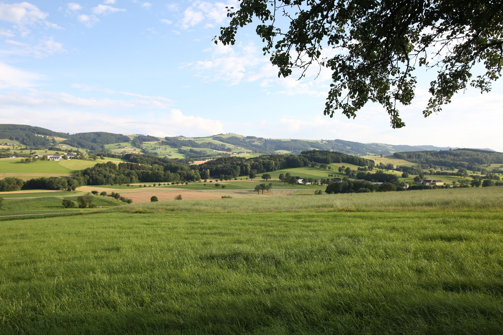
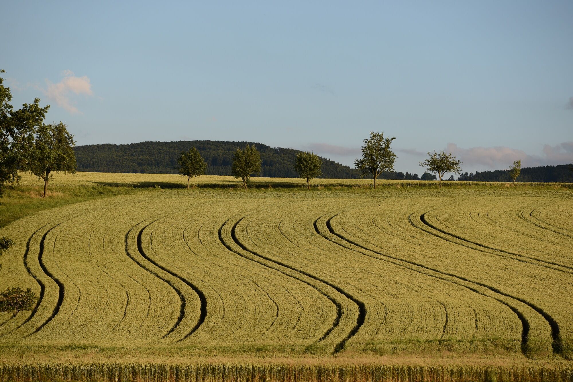
Circular hiking trail with two hilly stages and many beautiful viewpoints. The route goes on roads, forest, and farm tracks through the typical Mostviertel hilly landscape.

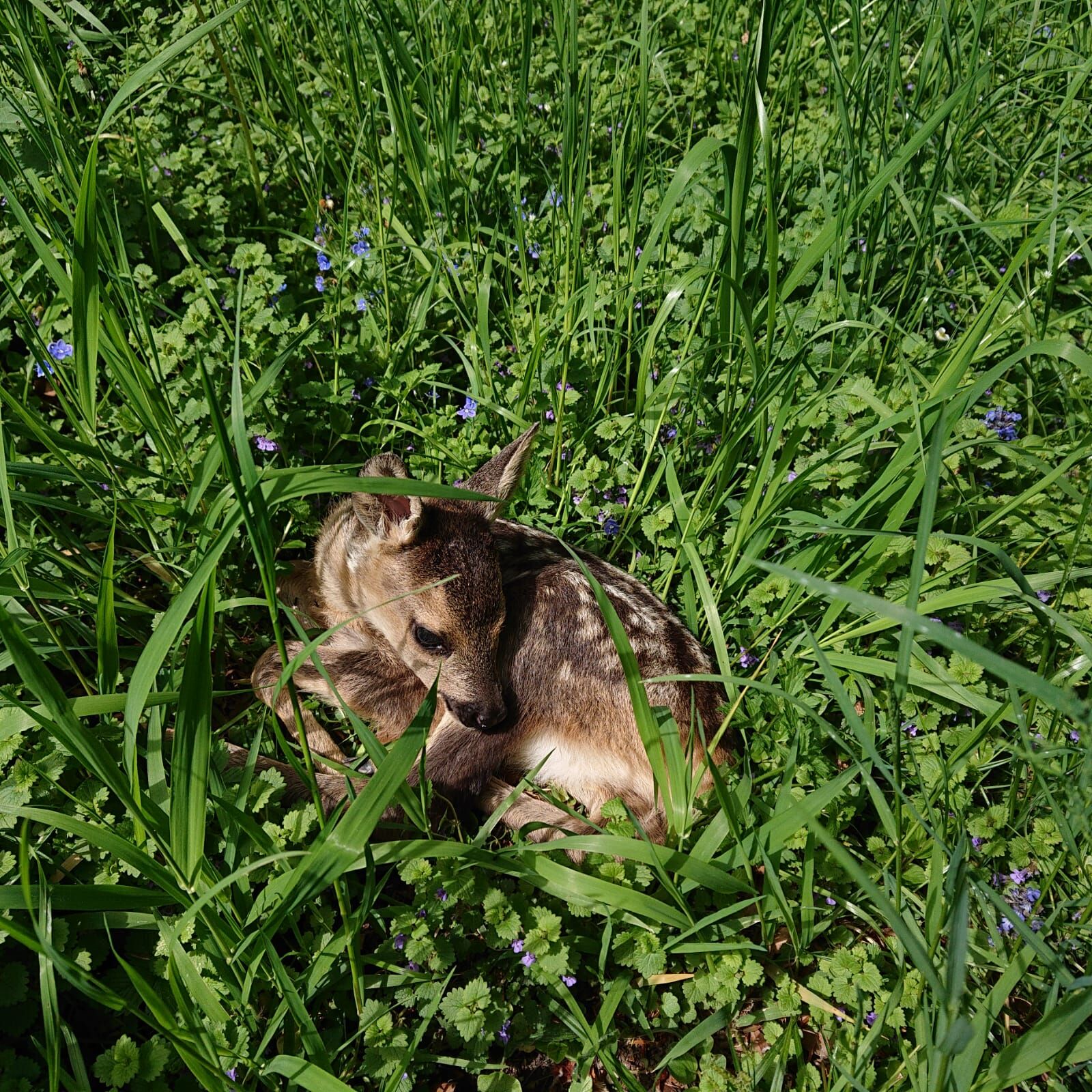
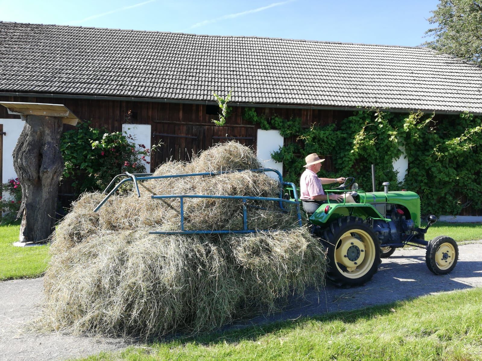
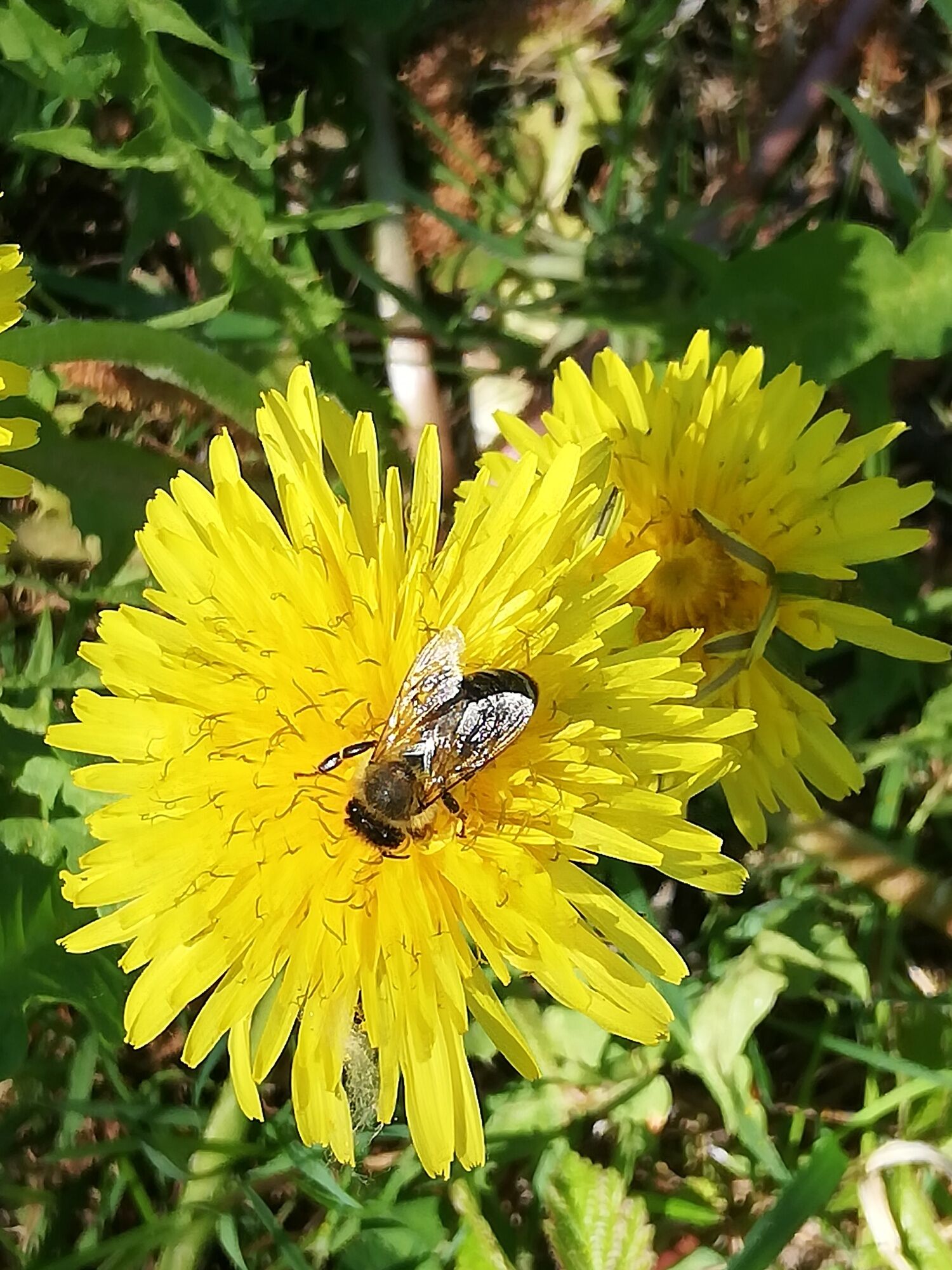

From the marketplace, we walk over the Hohen Rain to Aschen and from there to Hamet. Just after the last farmhouse on the path, turn right down into the forest, then left along the creek to the Panhalm bridge on the road. At the curve before the bridge, a tractor track leads toward Schnotzendorf, where we then turn right and walk a short distance on the road toward Randegg. In the hollow, we climb up to Almesberg, then continue toward Lehen, where we then descend left to the Grabenmühle. Past the Grabenmühle house, it goes a short distance along the main road L 6113 and then back up to Niederaigen. There, upon reaching the large intersection, a street leads left between the farmhouses to the spur path that leads to Hinterberg. At the Hinterberg intersection, we march straight uphill to the bench and then continue through the forest down to Völkrahof. The road along the way takes us through Obergafring toward Euratsfeld. At Gießhübl, we walk right up through the settlement. Along Hochkogelstraße, it goes back to the starting point.
Áno
Light hiking shoes/equipment recommended
From the A1/Amstetten West or Amstetten East exit via the B1 to Euratsfeld. The route is well signposted with "Euratsfeld" or "Randegg."
By train to Amstetten and from there by bus to Euratsfeld.
Parking is possible in the town center at Mockplatz, Vetterplatz, and at the parish community center.
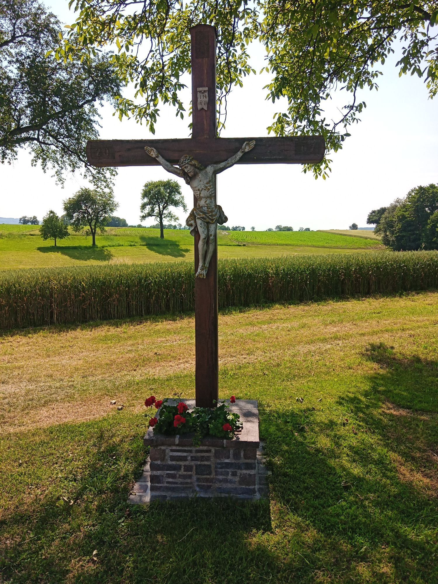
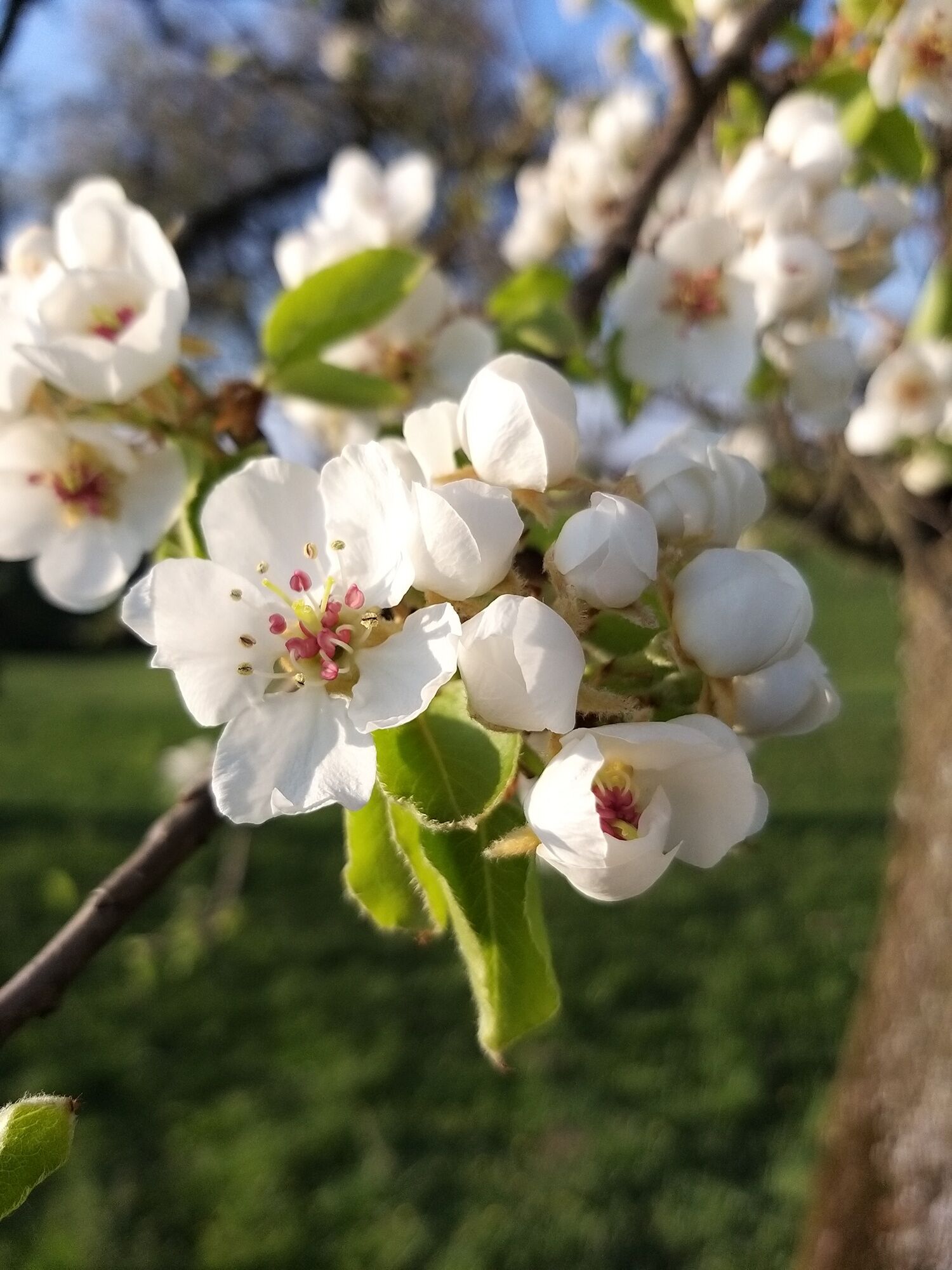
The Marien Chapel in Niederaigen is easily accessible via a short detour of a few minutes. The path over Almesberg and Lehen down to the Grabenmühle offers especially beautiful views during the pear blossom. With a wonderful view into the Hinterwald and of the Hochkogel, it is worth resting on the bench at Völkrahof.
Získajte prehľad
Vždy naživo na mieste s viac ako 9 500 webovými kamerami. bergfex Ako používateľ Pro si teraz môžete pozrieť príslušné webové kamery pre mnohé zájazdy v aplikácii zájazdy z. Môžete si tak priamo prezerať aktuálne podmienky.
Obľúbené výlety v okolí
-
4,3
Prochenberg von Ybbsitz
svetloTuristika 6,29 km -
5,0
Prochenbergrunde
strednáTuristika 5,96 km -
4,4
Kappleralm Runde
svetloTuristika 6,65 km -
4,9
Reidlingberg - Gruber Kreuz - Hochkogel
svetloTuristika 10,0 km -
4,5
Prochenberg von Maria Seesal
strednáTuristika 9,20 km -
4,4
tut gut-Routen Hochkogelberg
Turistika 11,0 km -
4,3
Schwarzenberg
svetloTuristika 4,54 km -
4,7
Schmiedemeile Ybbsitz
strednáTematická trasa 7,92 km -
3,2
Rundwanderung Windhag - St. Leonhard - St. Aegidi
svetloTuristika 15,2 km -
4,7
Panoramastüberl - Hochkogel
svetloTuristika 6,45 km
Turistika a stopovanie


Nenechajte si ujsť ponuky a inšpiráciu na ďalšiu dovolenku
Vaša e-mailová adresa bol pridaný do poštového zoznamu.





