







Königsbrunn am Wagram - Wagram edge path
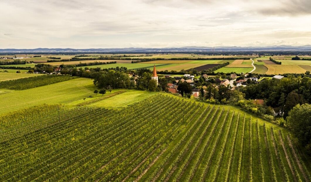
The market town of Königsbrunn am Wagram is located north of the Danube at the northern edge of the Tullner Basin. Königsbrunn has enjoyed an excellent reputation for centuries as the origin of fine wine....
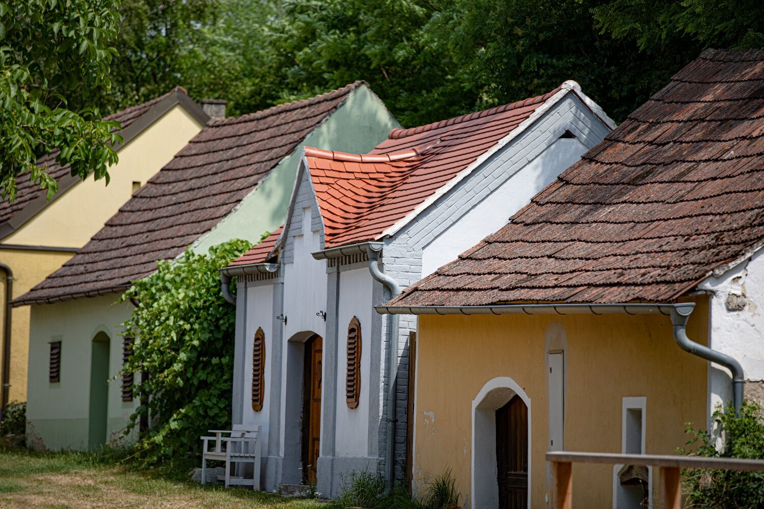
<p>The market town of Königsbrunn am Wagram is located north of the Danube at the northern edge of the Tullner Basin. Königsbrunn has enjoyed an excellent reputation for centuries as the origin of fine wine. Whether water cellars, the shady Königsbrunn wine cellar lane, or a hike along the edge of the Wagram terrain or the plum path: <br />Königsbrunn is excellently suited for a leisurely excursion into a diverse and rich cultural landscape. The idyll of fragrant loess and graceful cellars, as well as a visit to one of the traditional wine taverns, will leave a lasting impression on your stay.</p>

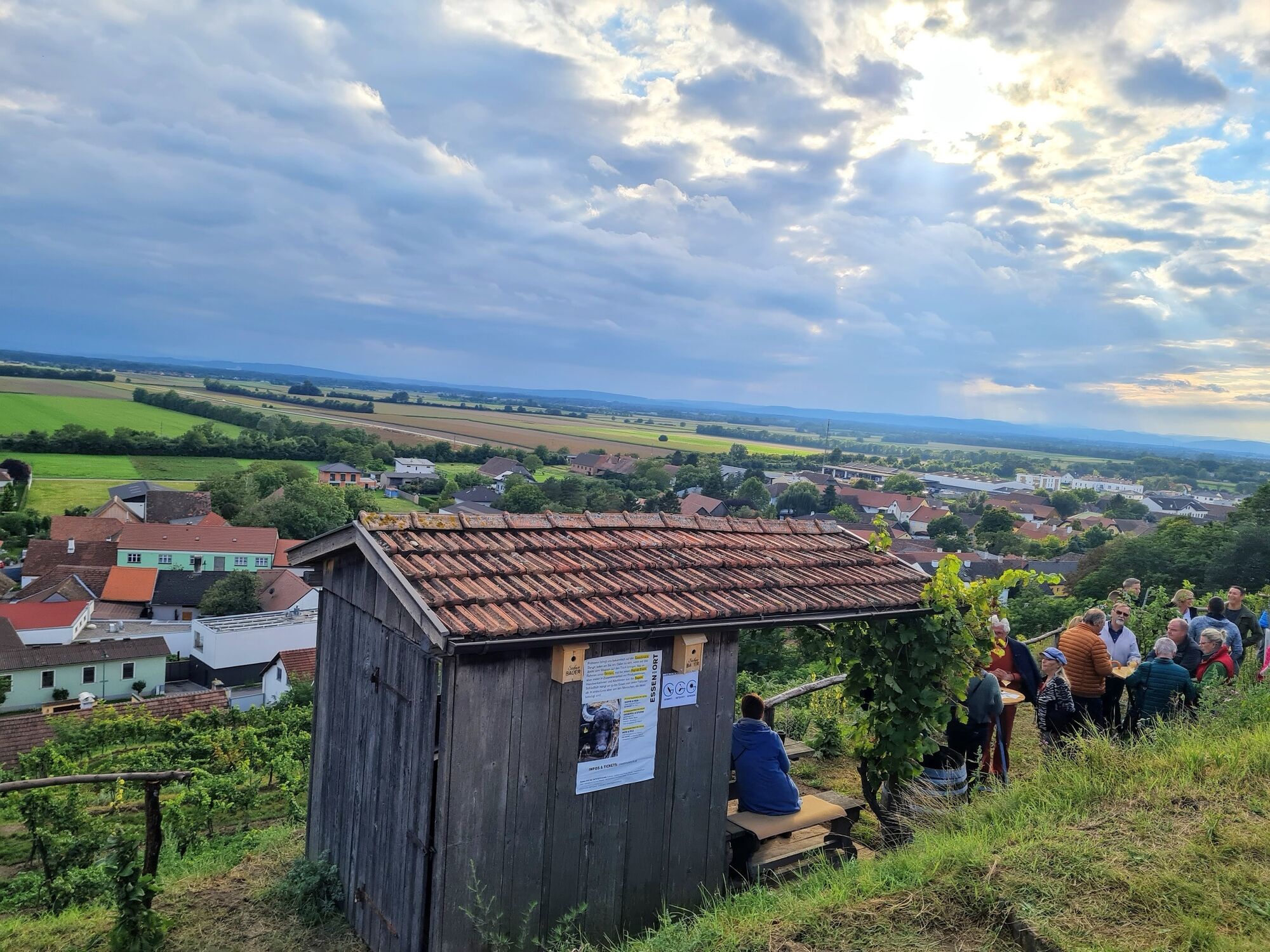

<p>Königsbrunn town center – pass the Lourdes chapel and turn right – to Hippersdorf – keep right there – pass the ponds – then turn left – then continue right and back towards Königsbrunn town center</p>
<p>Sturdy footwear, sufficient drinks</p>
Coming from St. Pölten:<br /> S33 to Traismauer junction – S5 towards Stockerau until Königsbrunn am Wagram exit, follow signs to Königsbrunn<br /><br />Coming from Vienna:<br />A22 to Stockerau junction – exit towards Krems – S5 to Königsbrunn am Wagram exit – L2015 – L2117 – L45 – L2015
<p>Information on public transport can be found at <a href="www.oebb.at">www.oebb.at</...
<p>Parking available</p>
WATER CELLARS! Get insights into the almost forgotten water cellars of the Wagram.
PLUM PATH ZAUSSENBERG: Collect information about different plum varieties and enjoy the numerous rest, viewpoint, refreshment, and playground areas along the Plum Path Zaußenberg.
Obľúbené výlety v okolí
-
4,8
Kellergassen-Tour
ťažkéCyklistika 38,3 km -
4,0
Weinwanderweg Wetzdorf
svetloTematická trasa 6,51 km -
4,3
Niederrußbach Dauersberg Stranzendorf retour 20190519
svetloTuristika 7,75 km -
3,8
W3 Löss-Tour
strednáCyklistika 38,6 km -
4,5
Von Feuersbrunn zur Engabrunner Warte
svetloTuristika 7,68 km -
3,0
Donautour W5
svetloCyklistika 38,5 km -
3,0
»tut gut« Wanderweg Breitenwaida | Route 2
strednáTuristika 10,2 km -
RUSSBACH Dauers- und Haberg Kalte Stube Hirschberg 20200315
strednáTuristika 14 km -
»tut gut« Wanderweg Breitenwaida | Route 3
ťažkéTuristika 15,8 km -
5,0
Experience route through the garden city - Cycling for Kids
svetloCyklistika 15,1 km
Turistika a stopovanie


Nenechajte si ujsť ponuky a inšpiráciu na ďalšiu dovolenku
Vaša e-mailová adresa bol pridaný do poštového zoznamu.





