
Navigácia na stránke
Získajte túto prehliadku v mobilnom telefóne
Mapa
Wachau World Heritage Trail

ťažké
Turistika
178,92 km
Naskenujte kód QR a spustite navigáciu v aplikácii bergfex
QR Code
Turistika a stopovanie

Wachau World Heritage Trail

Vzdialenosť
178,9 km
Trvanie
53:38 h
Ascent
5 472 hm
Hladina mora
196 - 956 m
Stiahnutie skladby
Mapa
Wachau World Heritage Trail
ťažké
Turistika
178,92 km

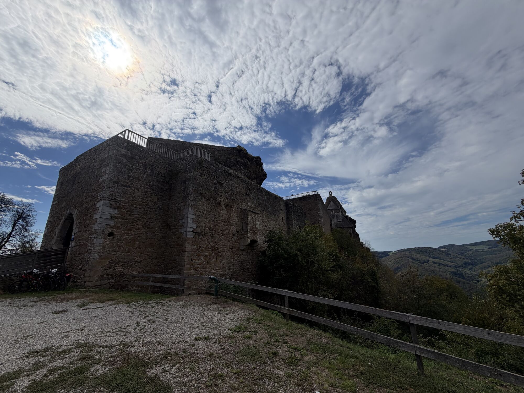
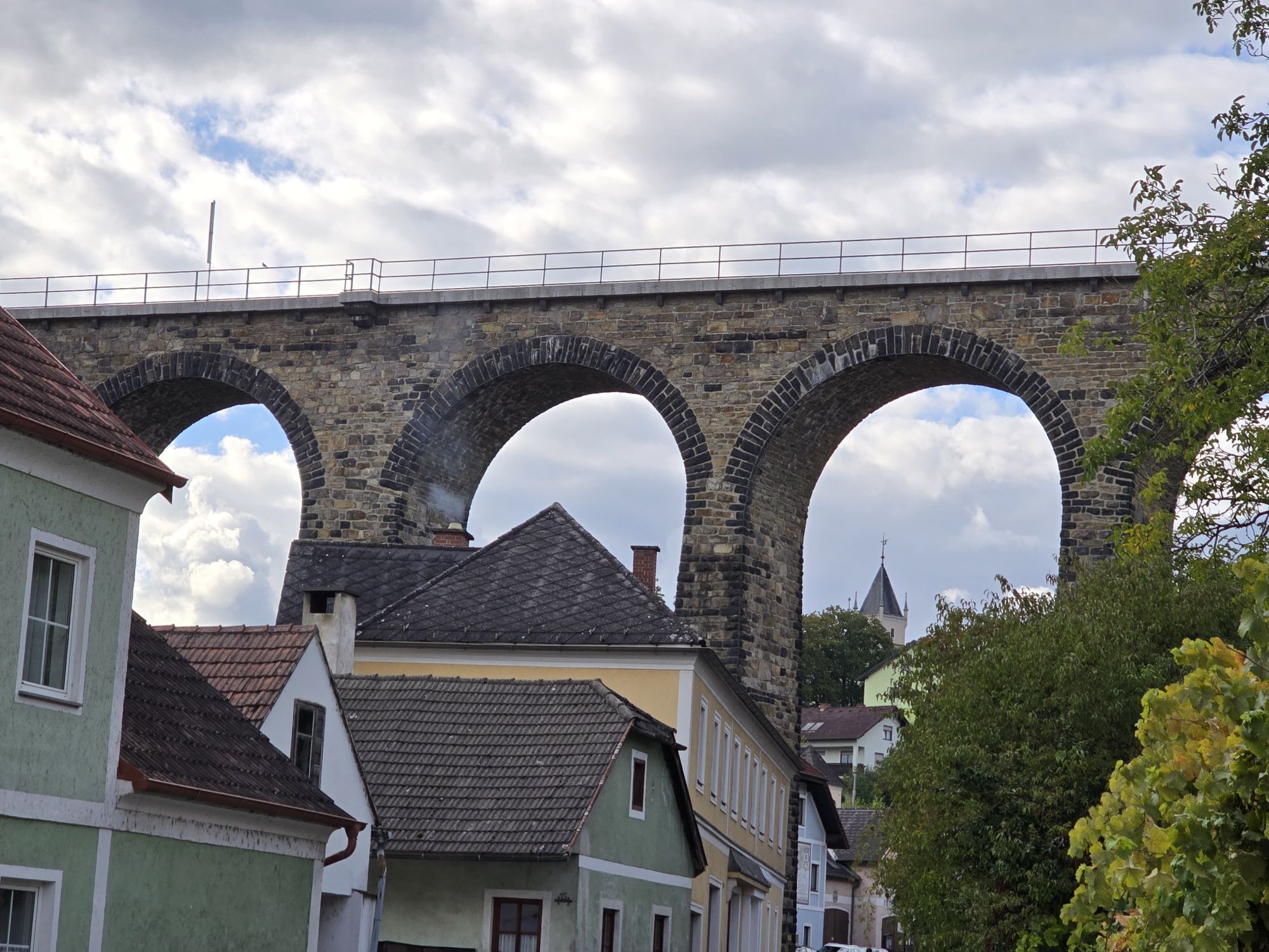
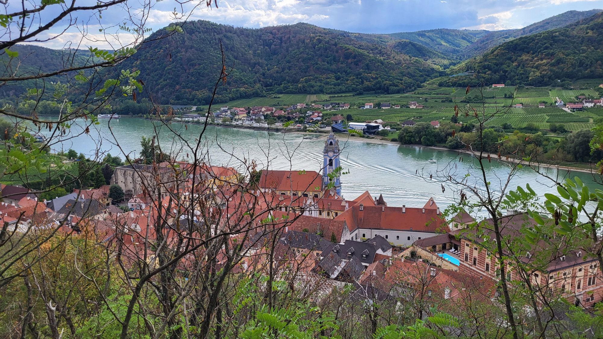
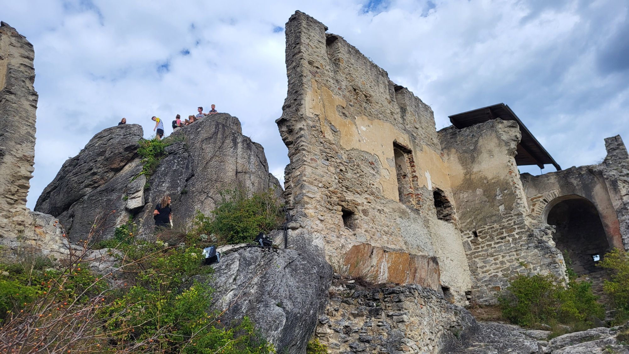
Fotografie našich používateľov

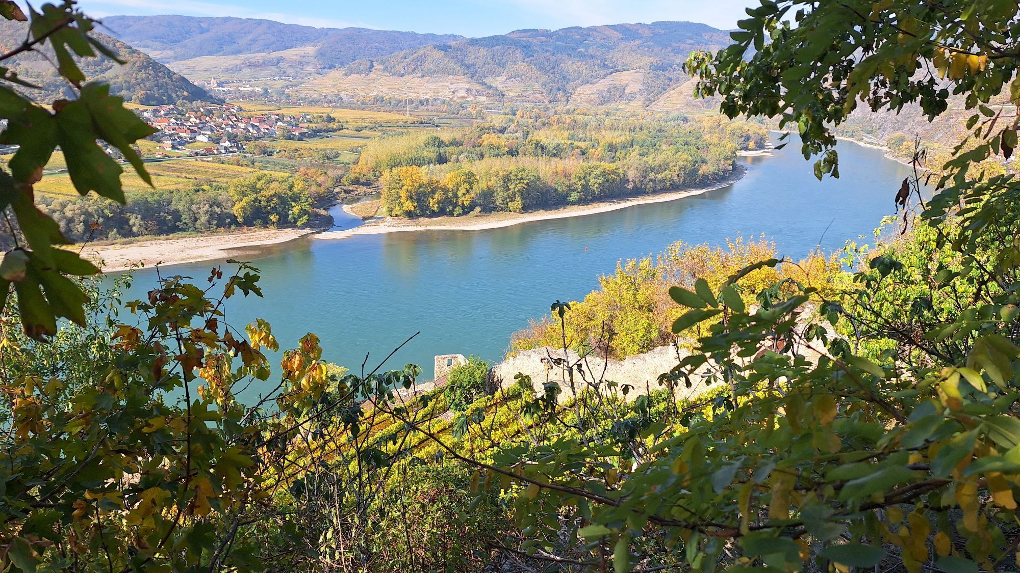
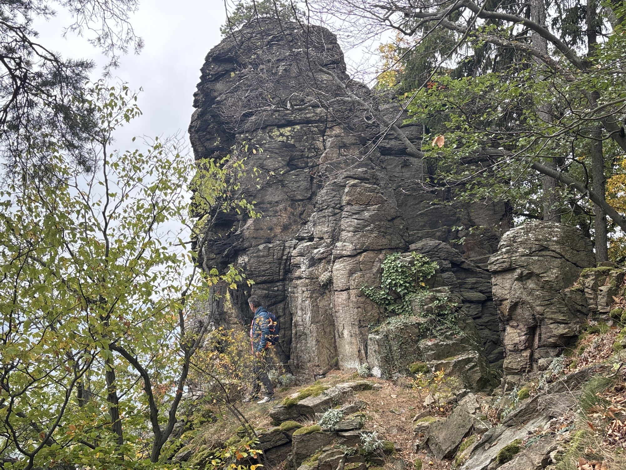
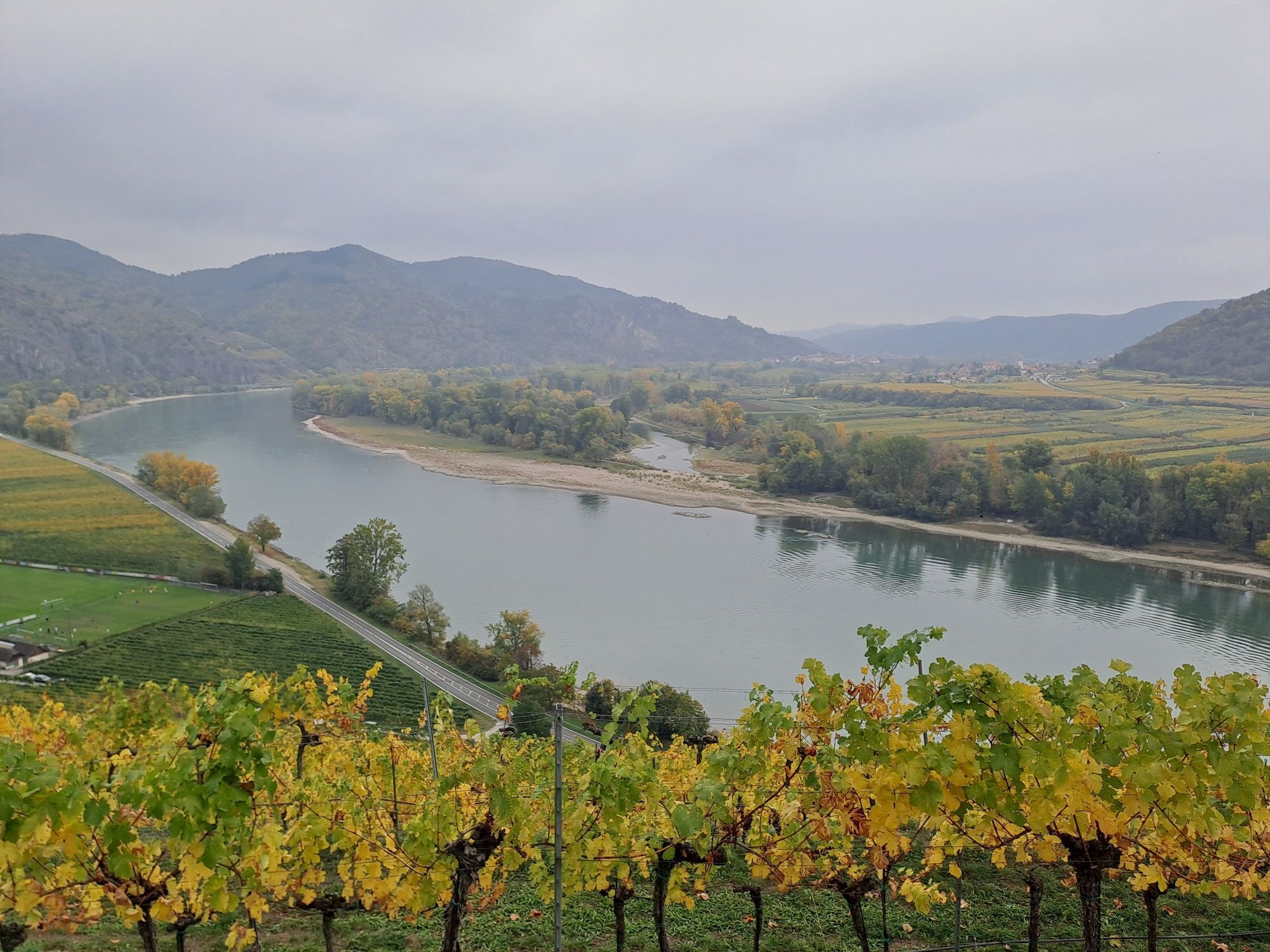
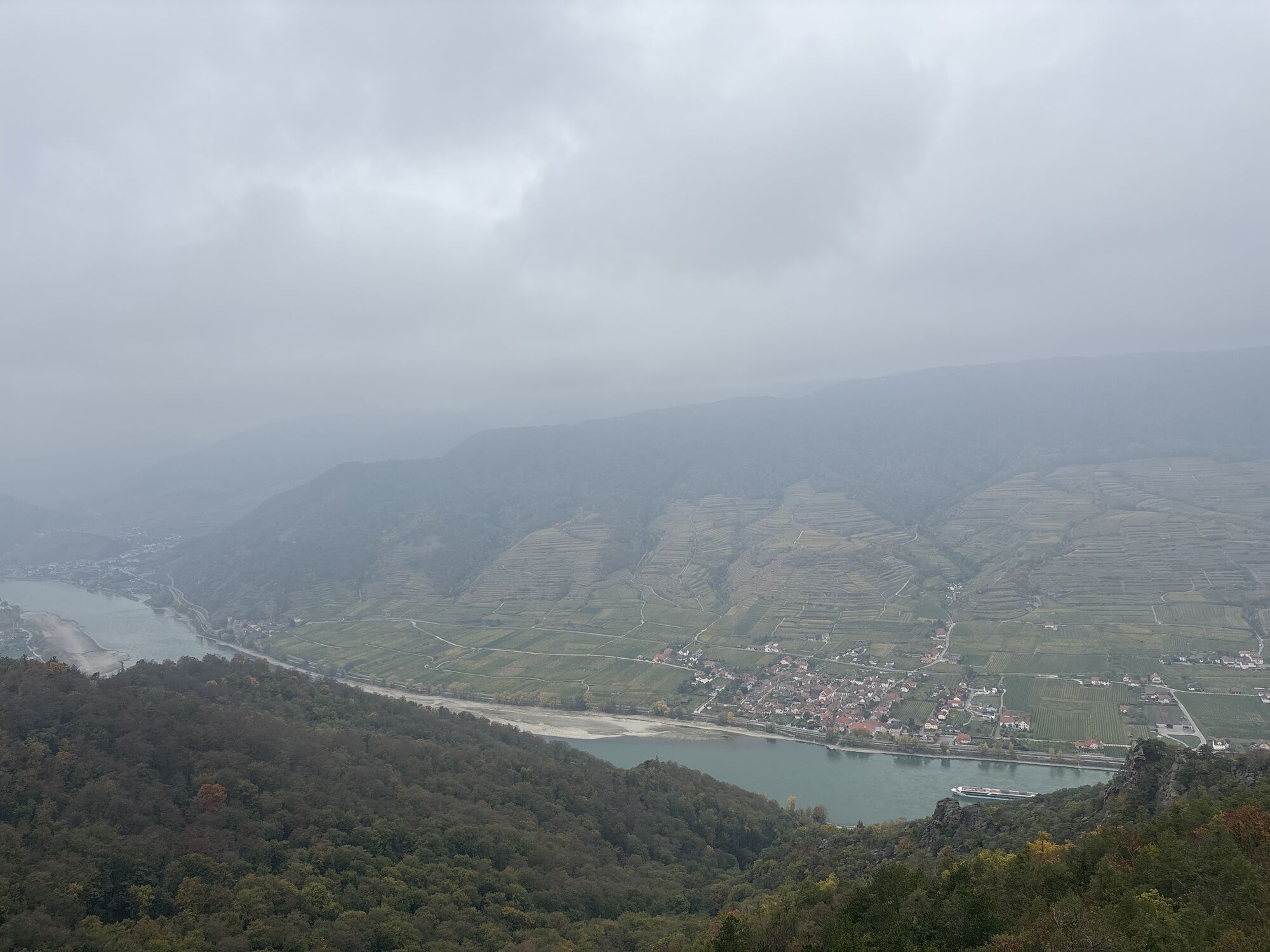
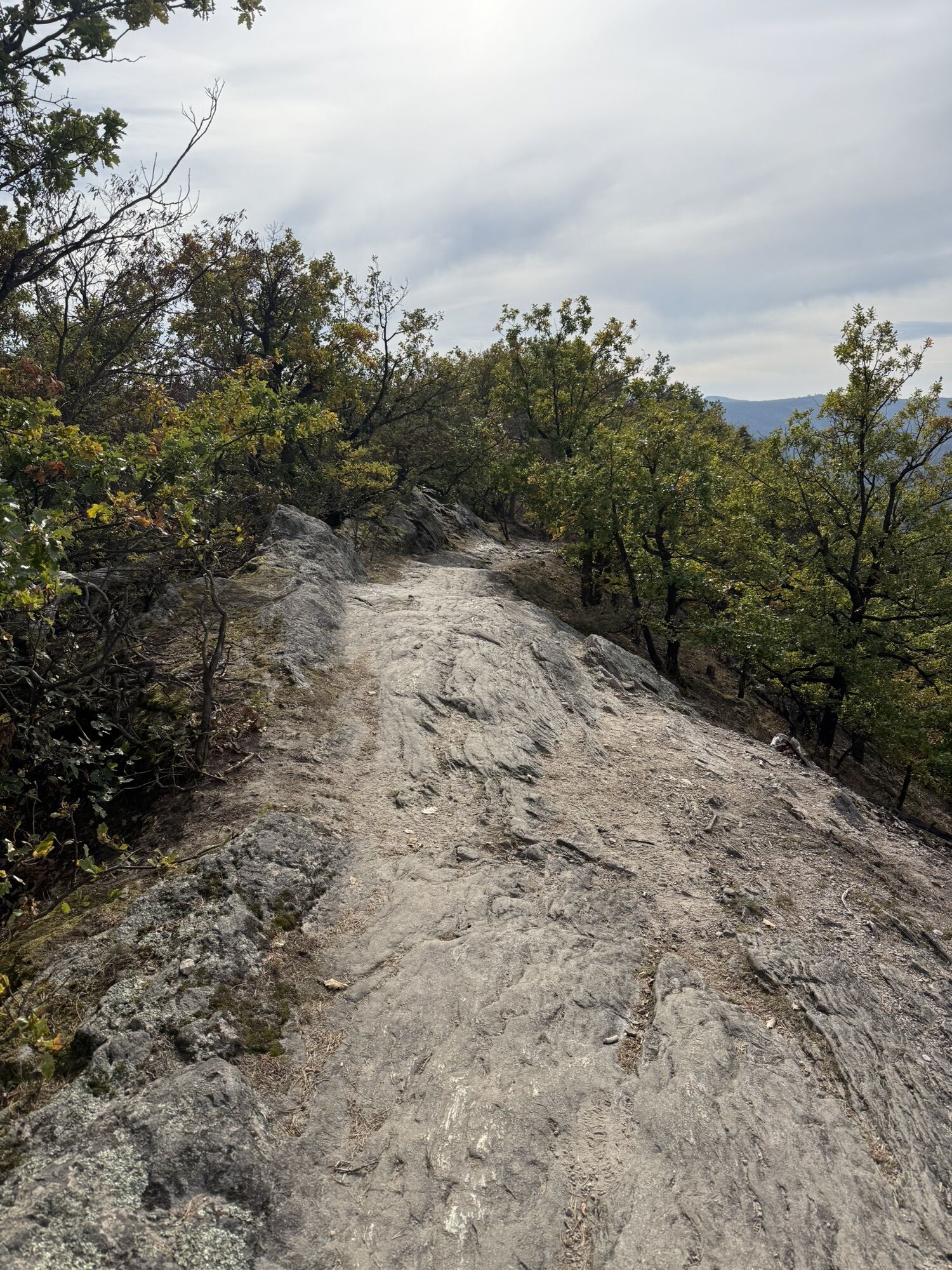
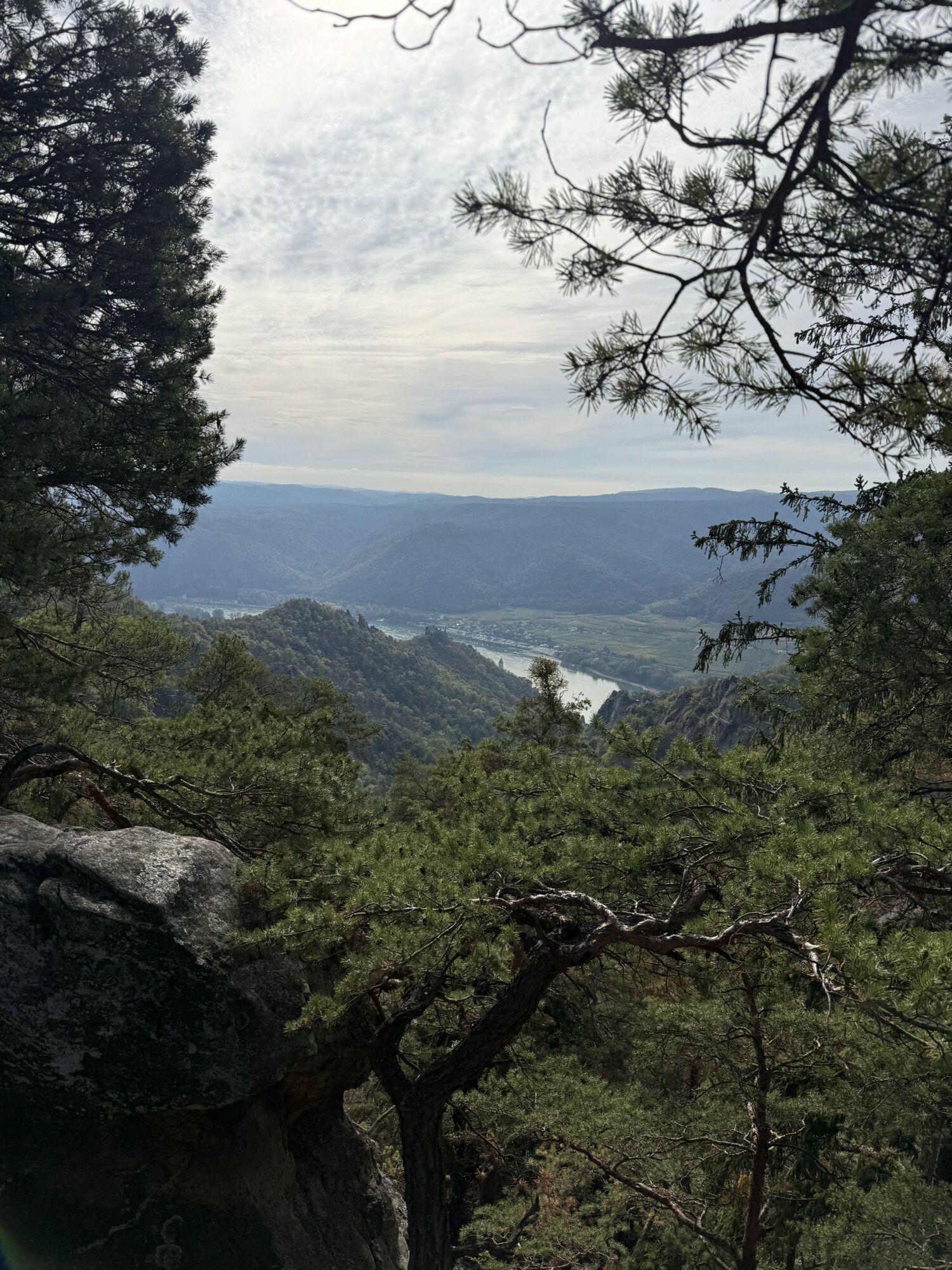
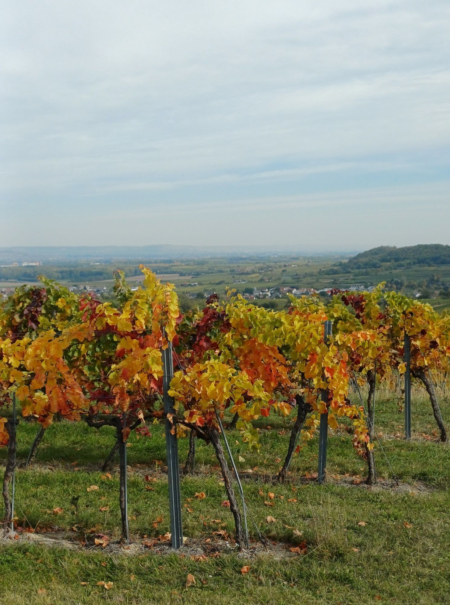
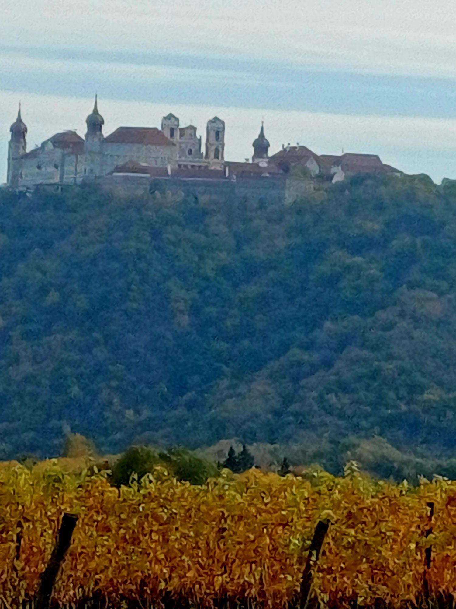
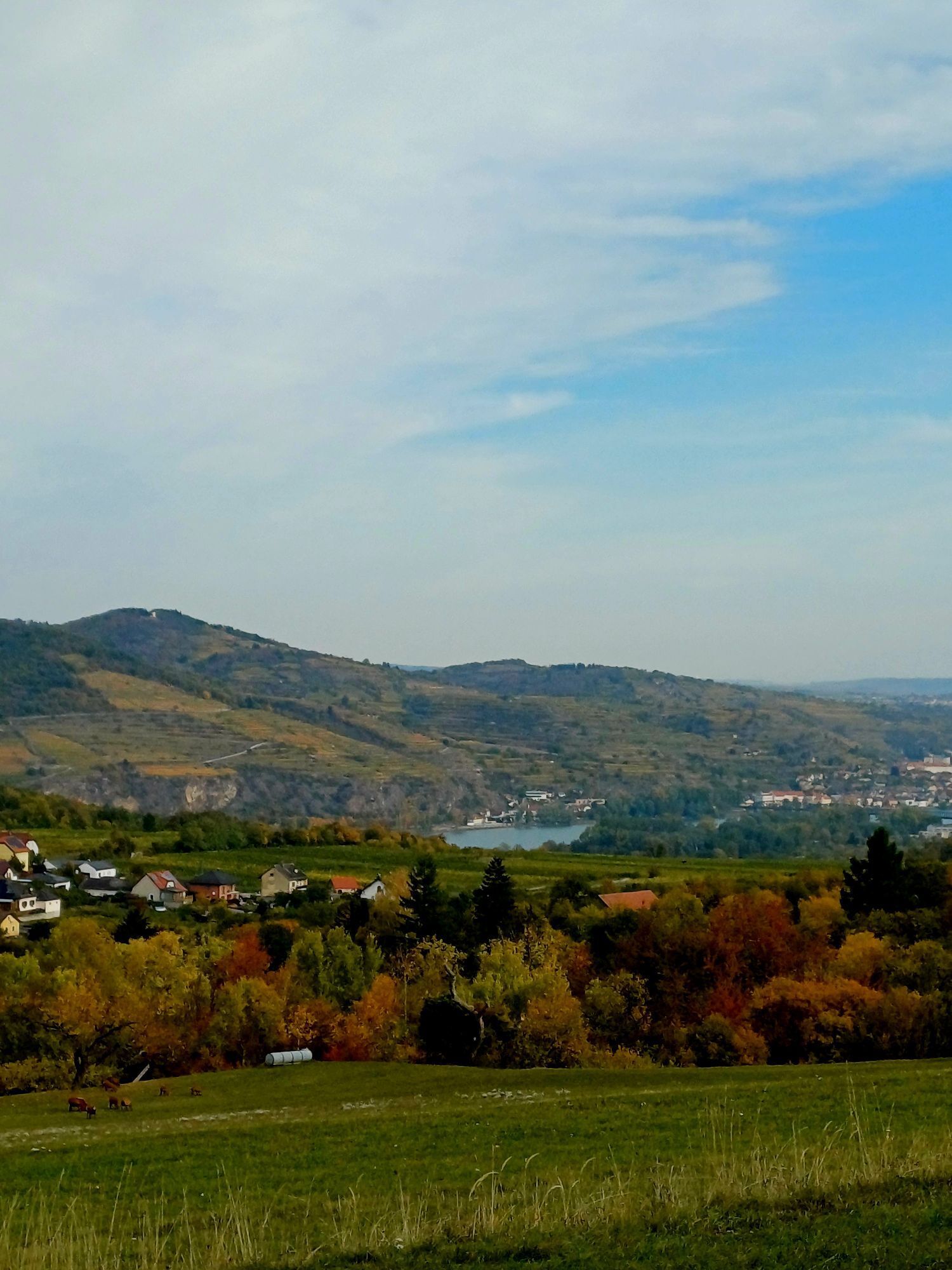
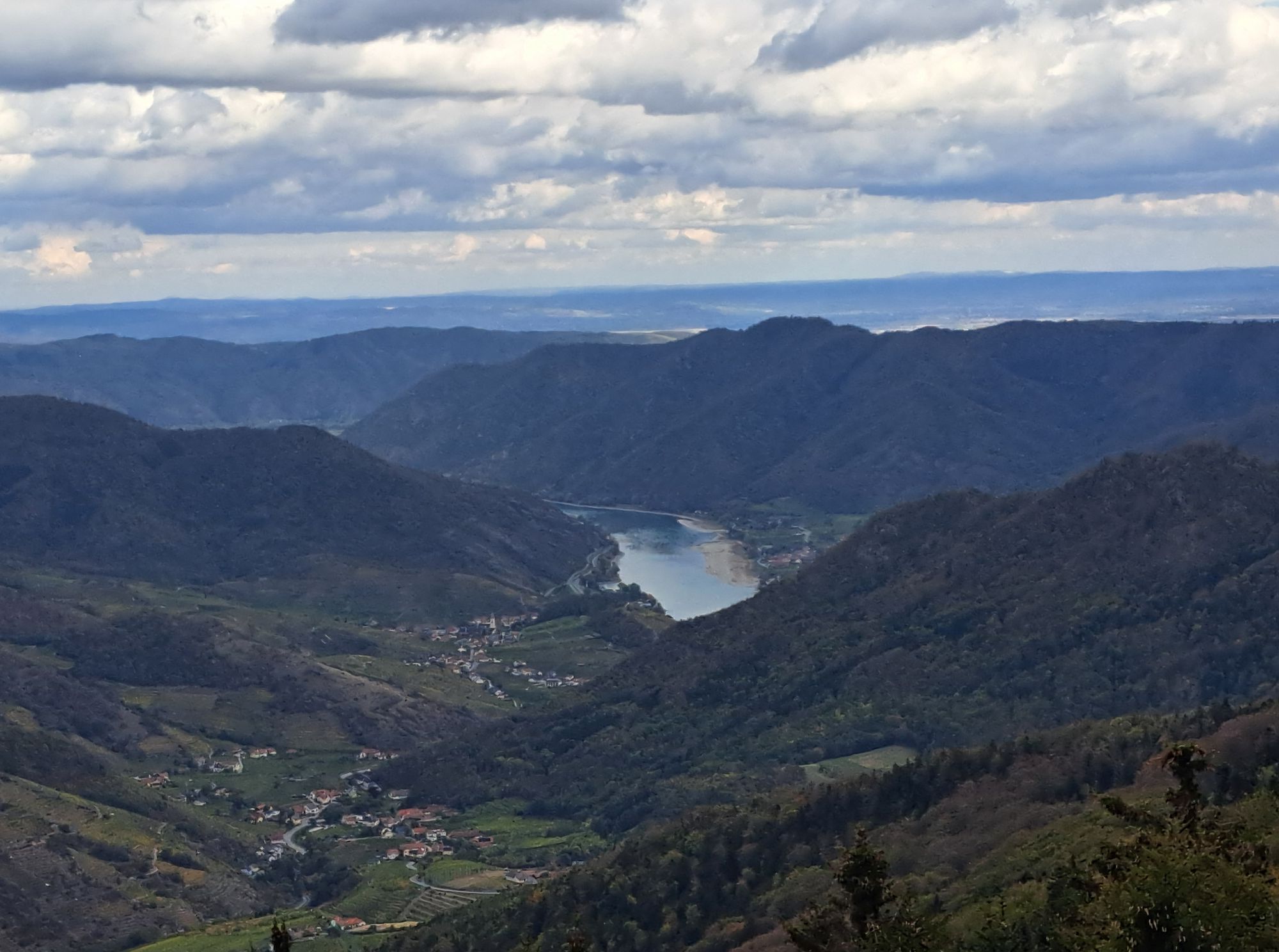
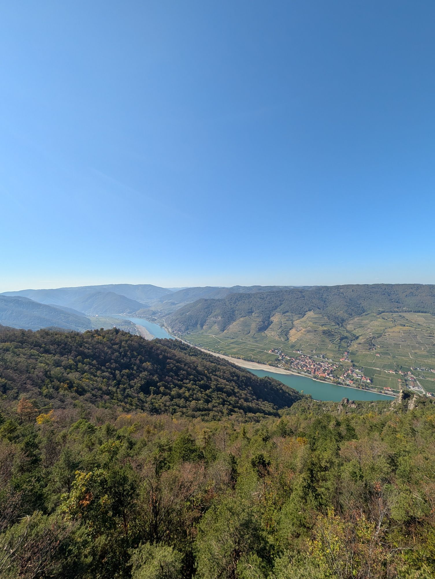
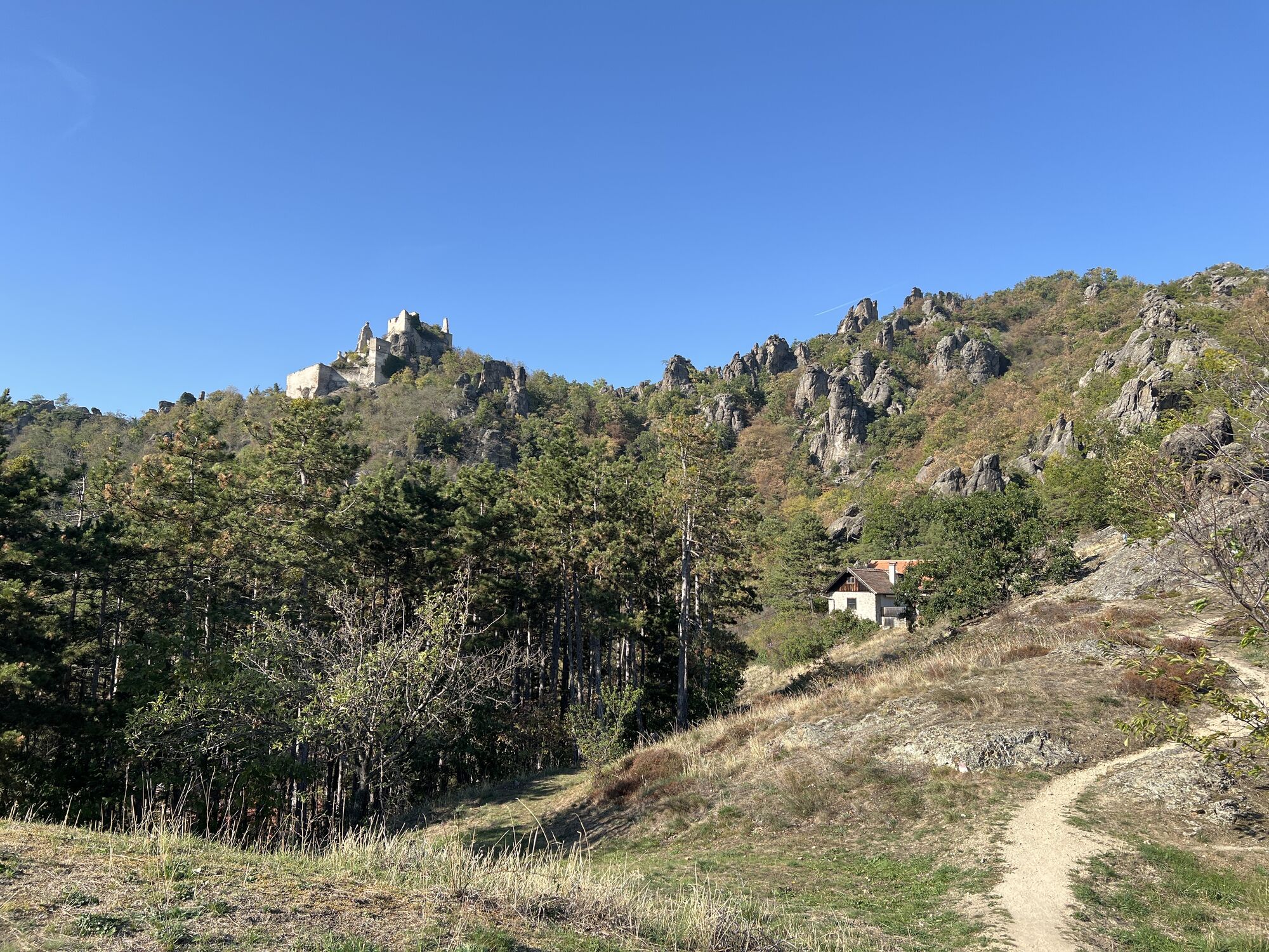
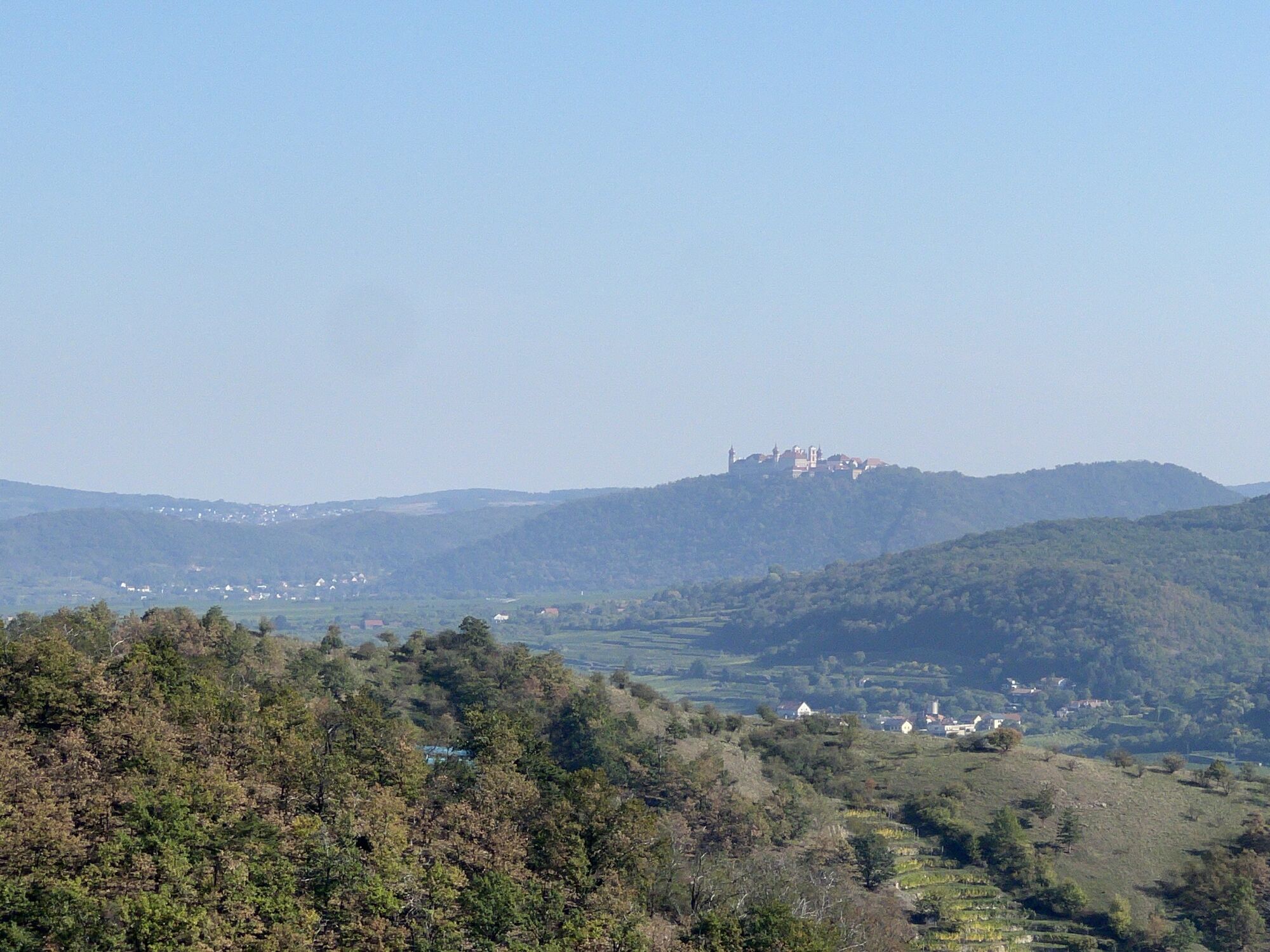
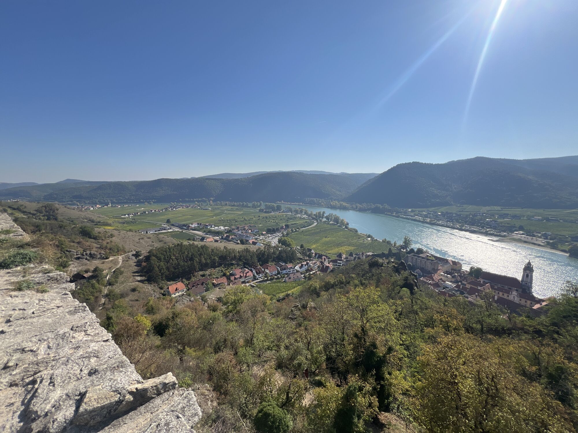
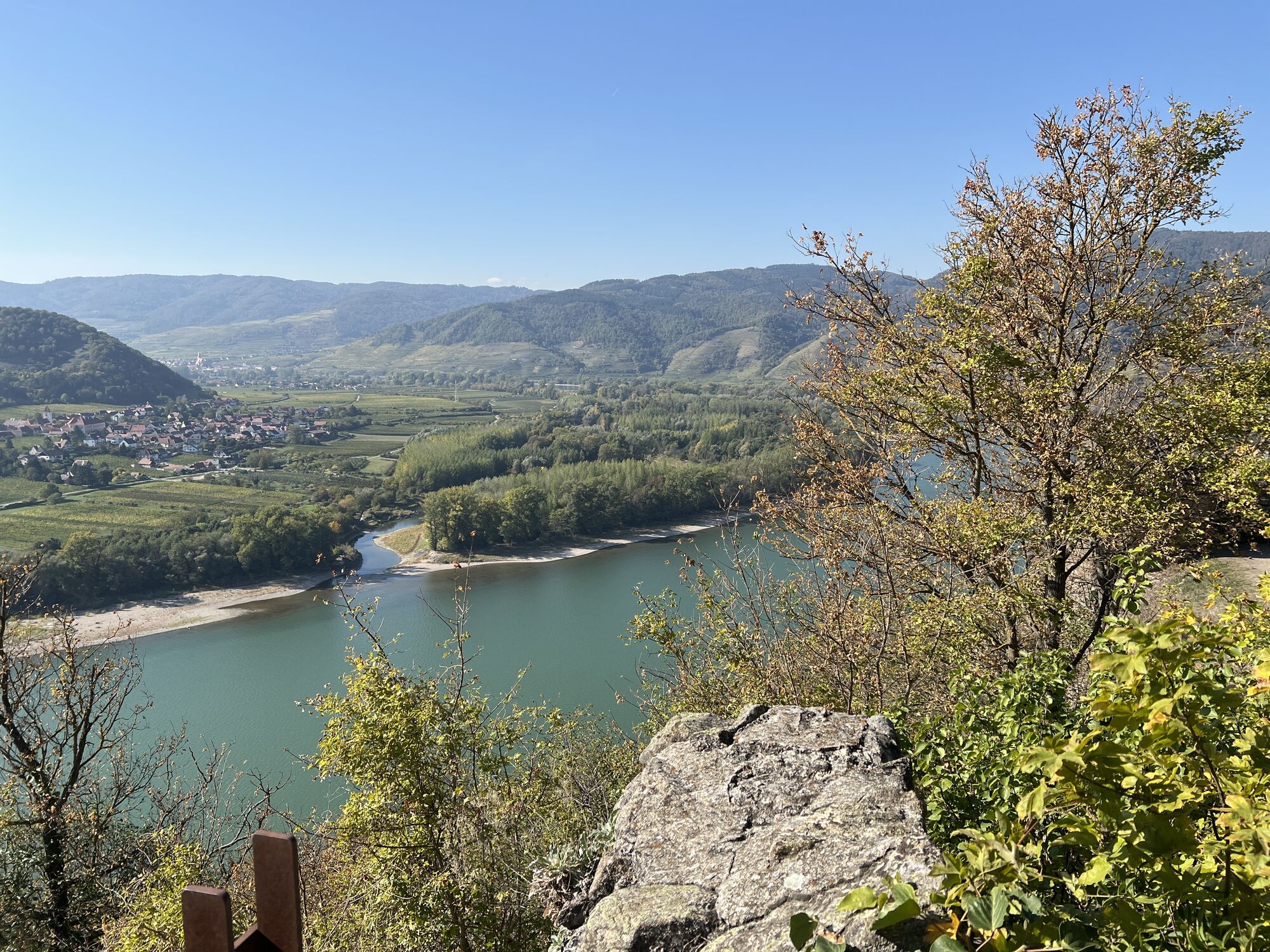
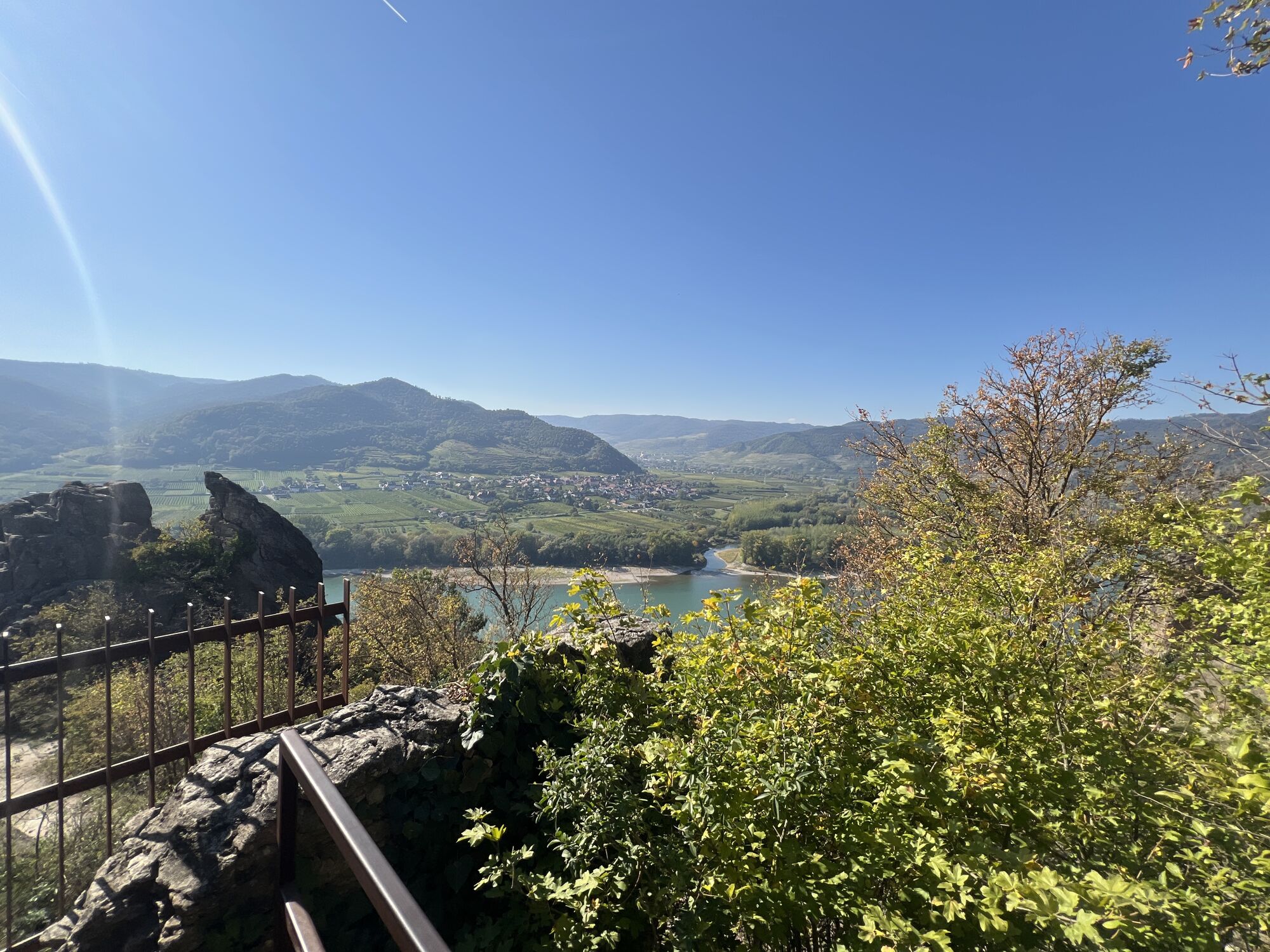
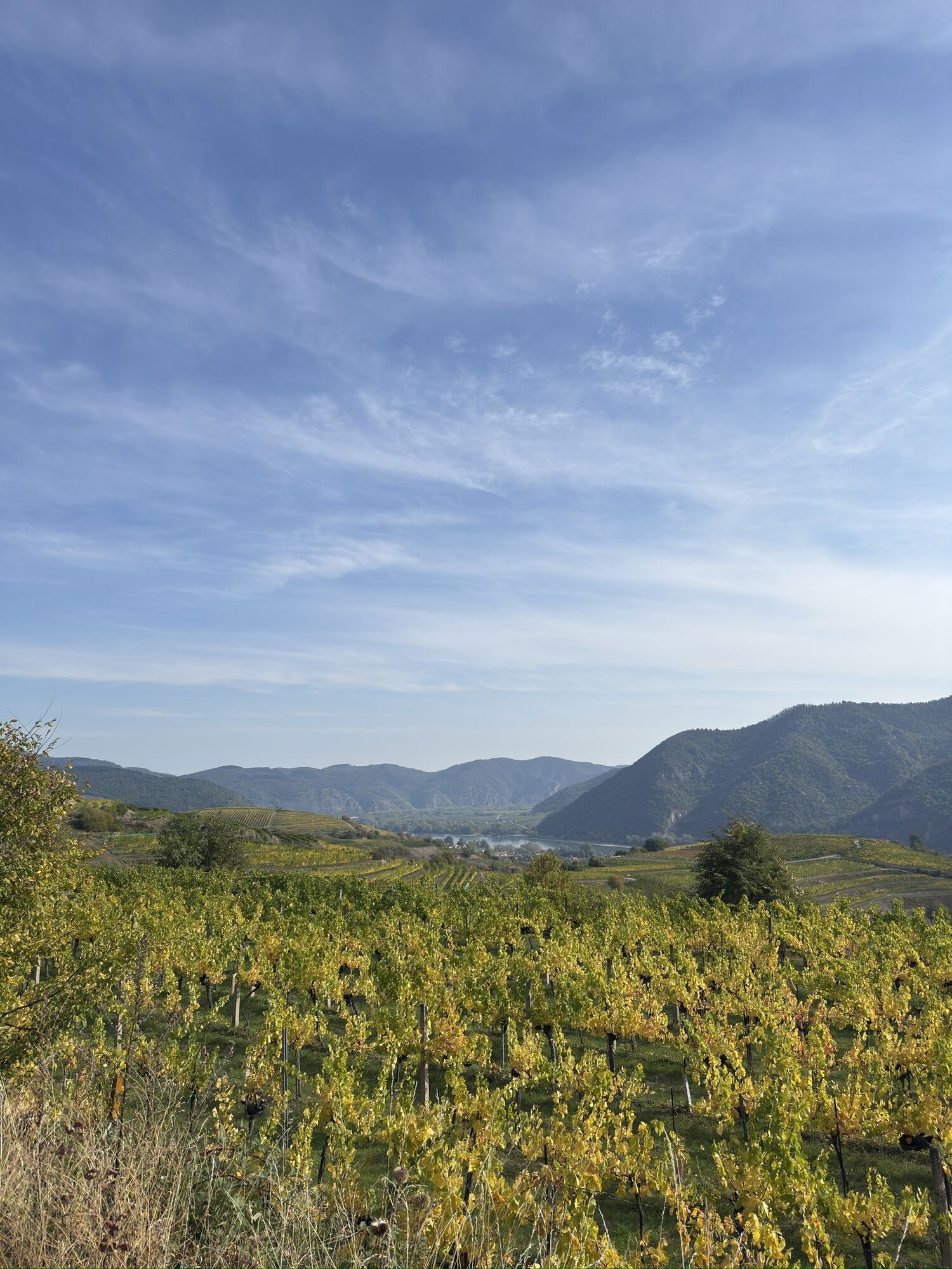
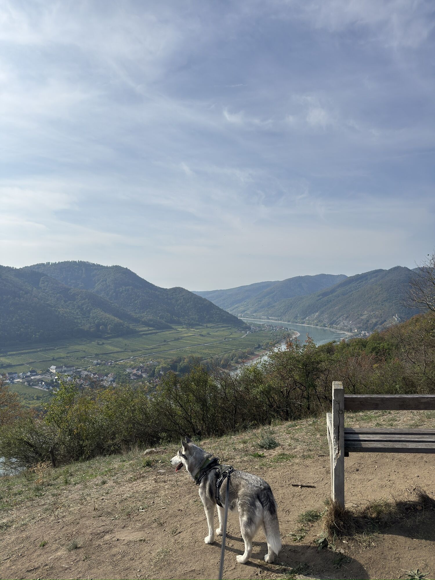
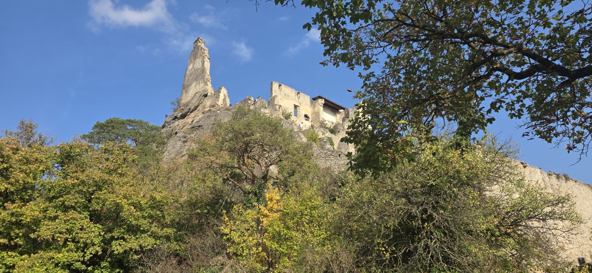
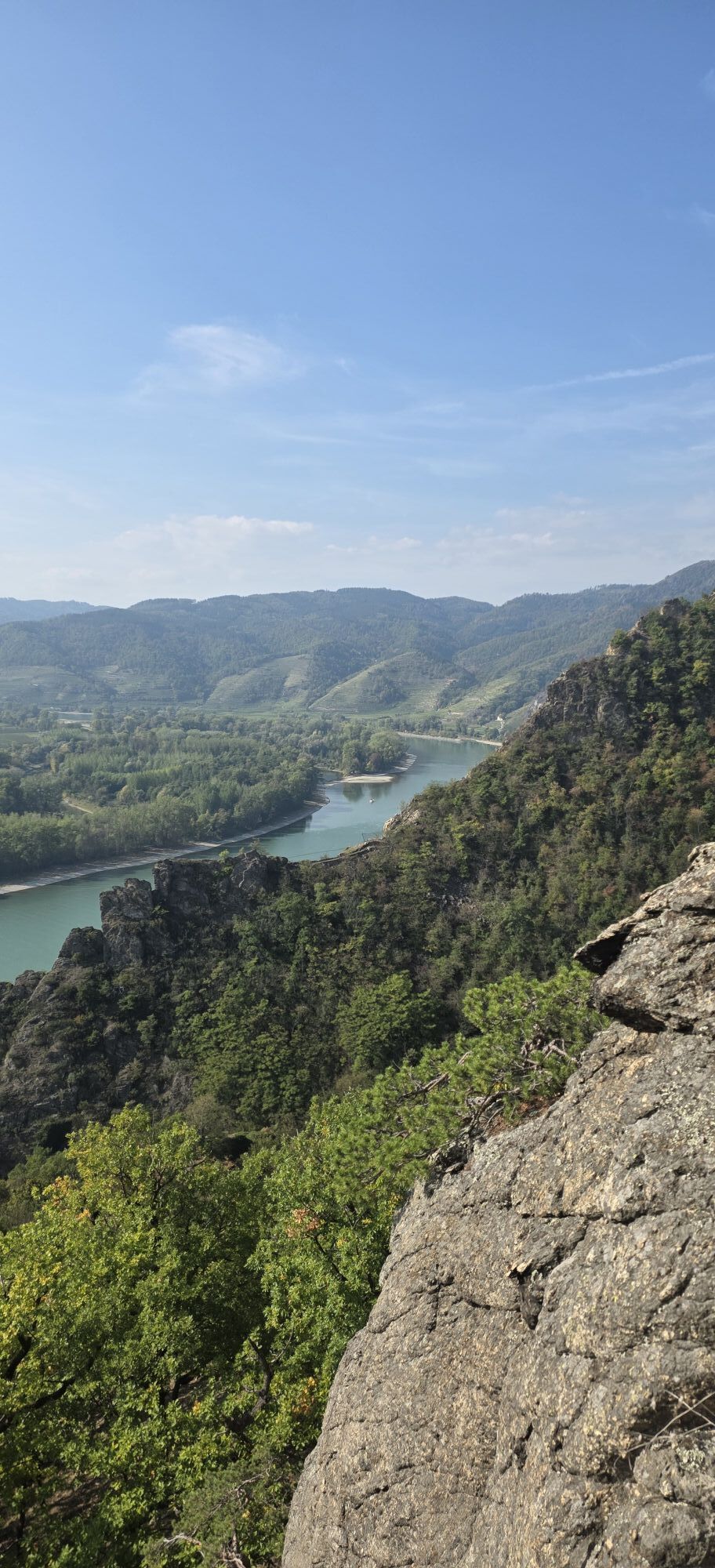
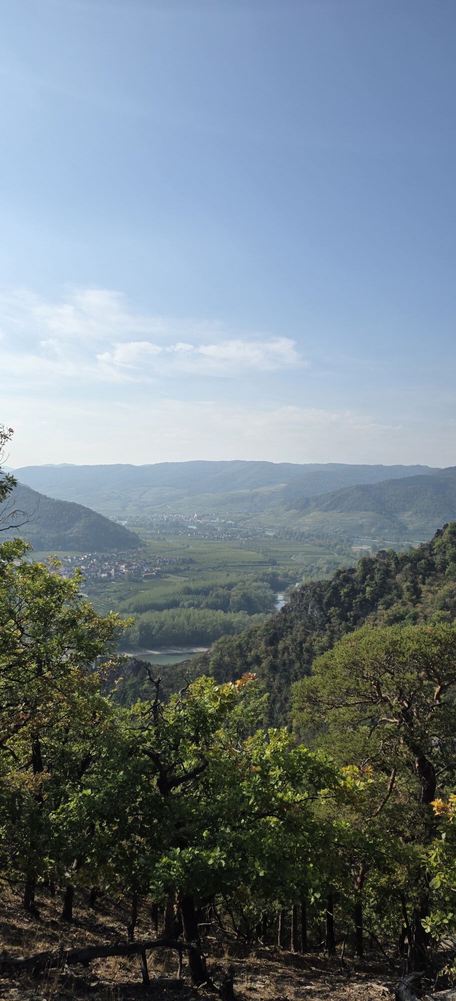
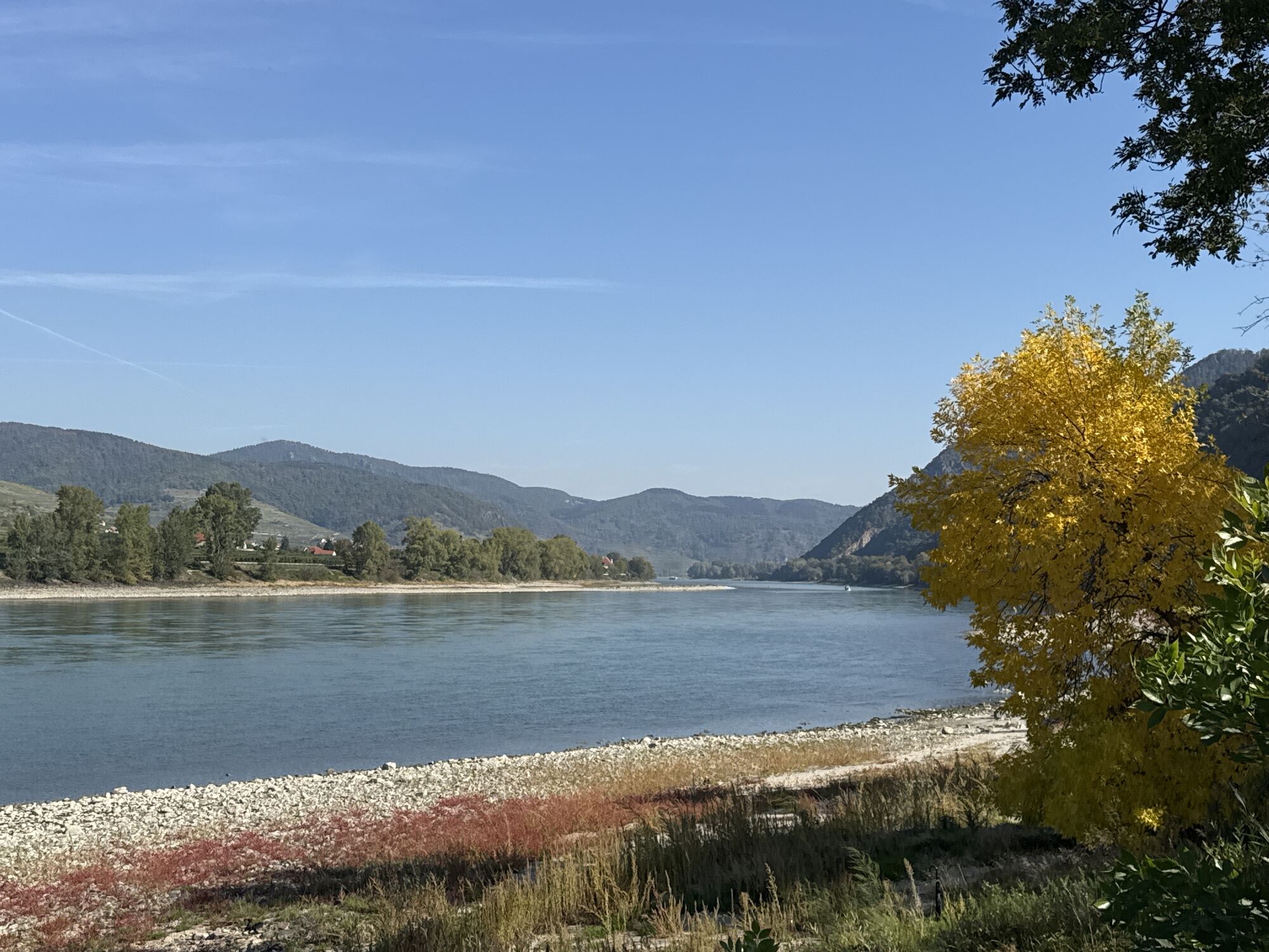
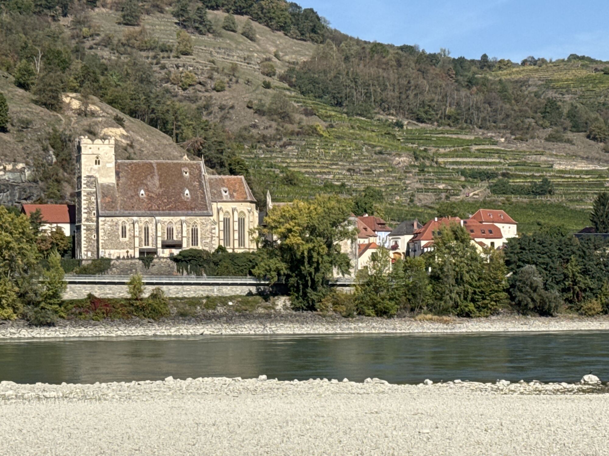
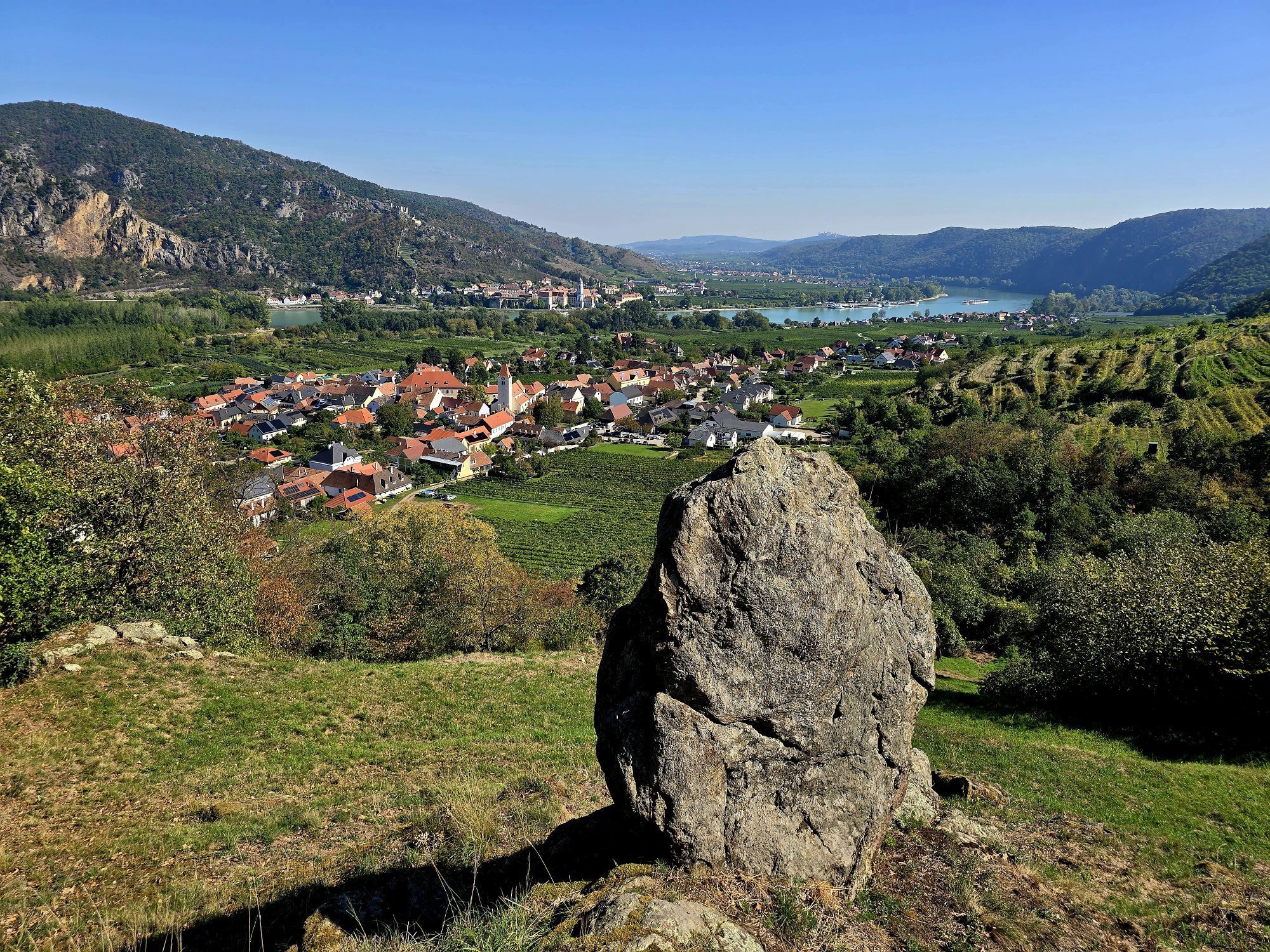
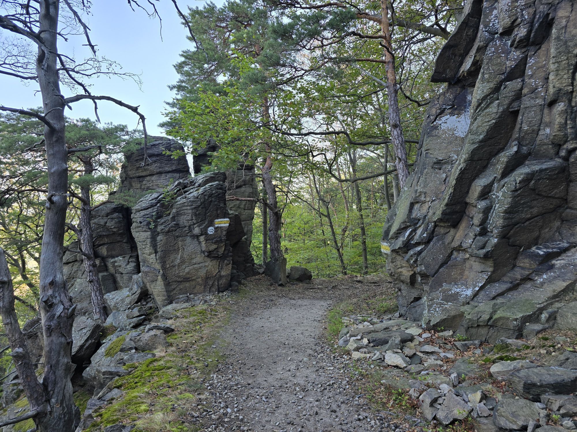
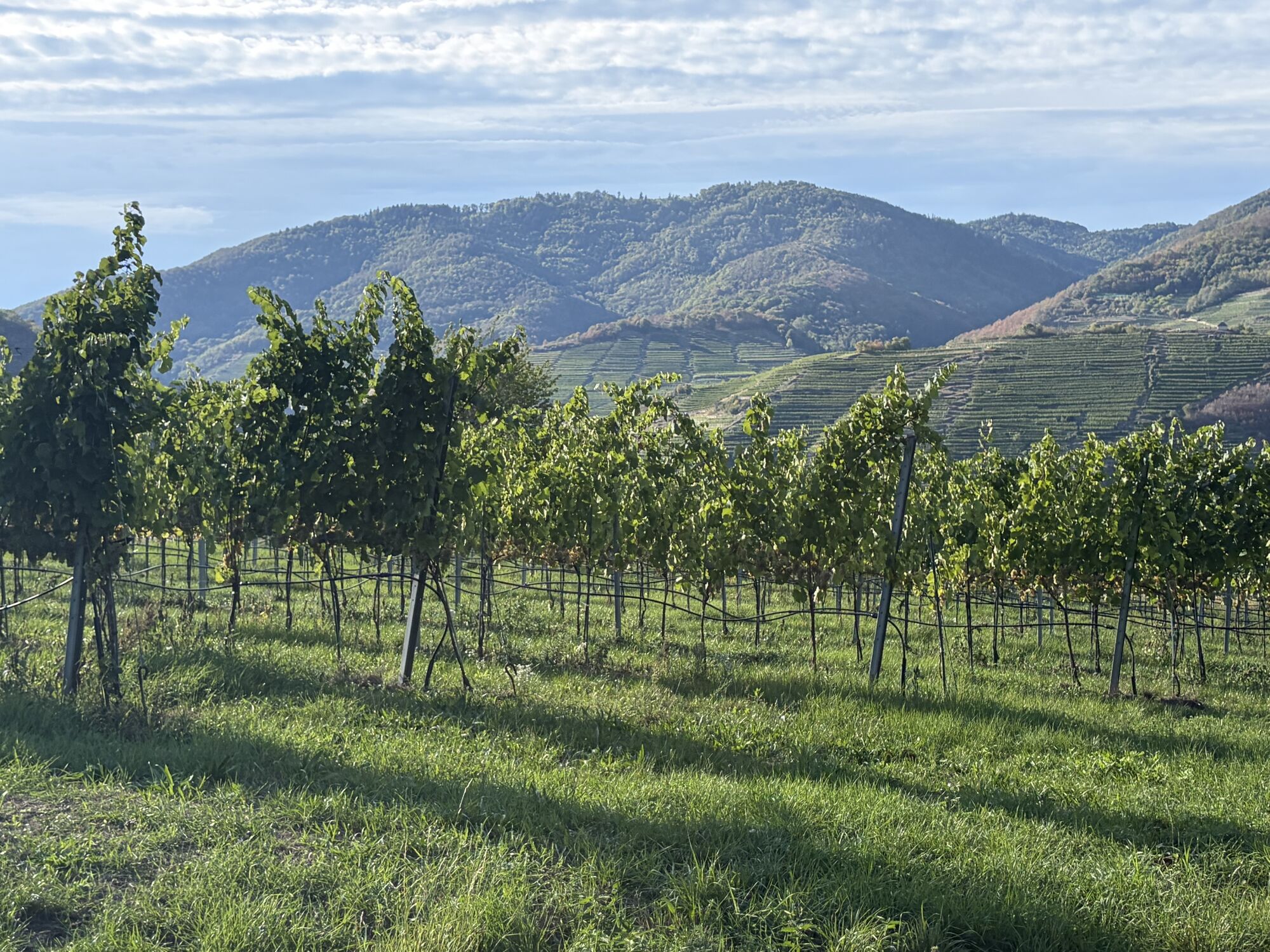
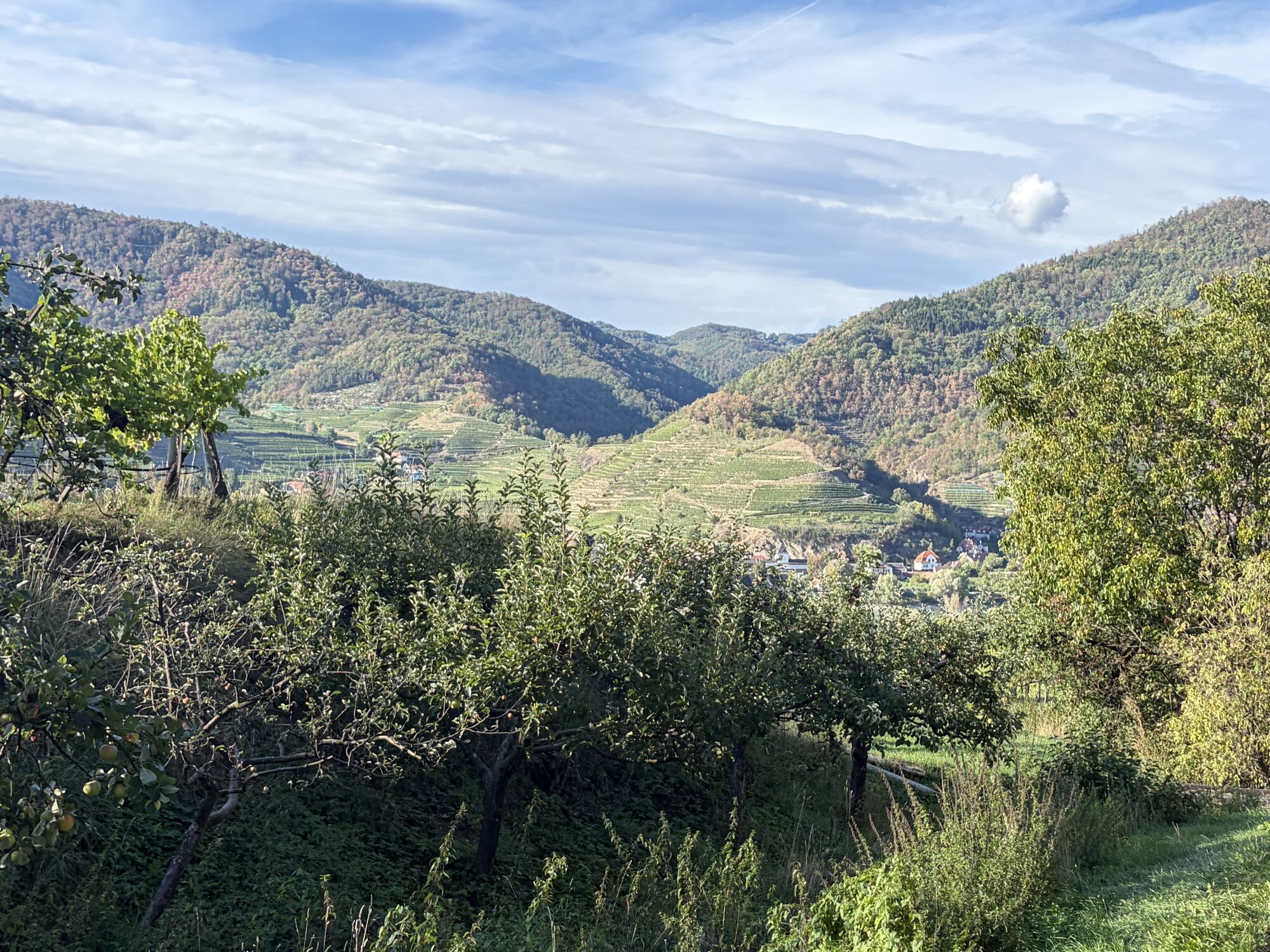
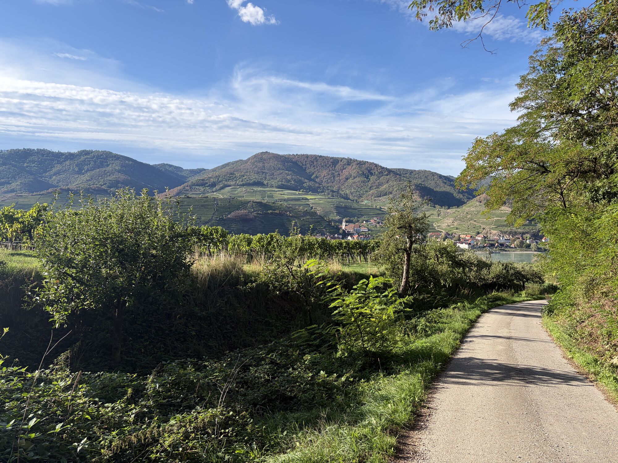
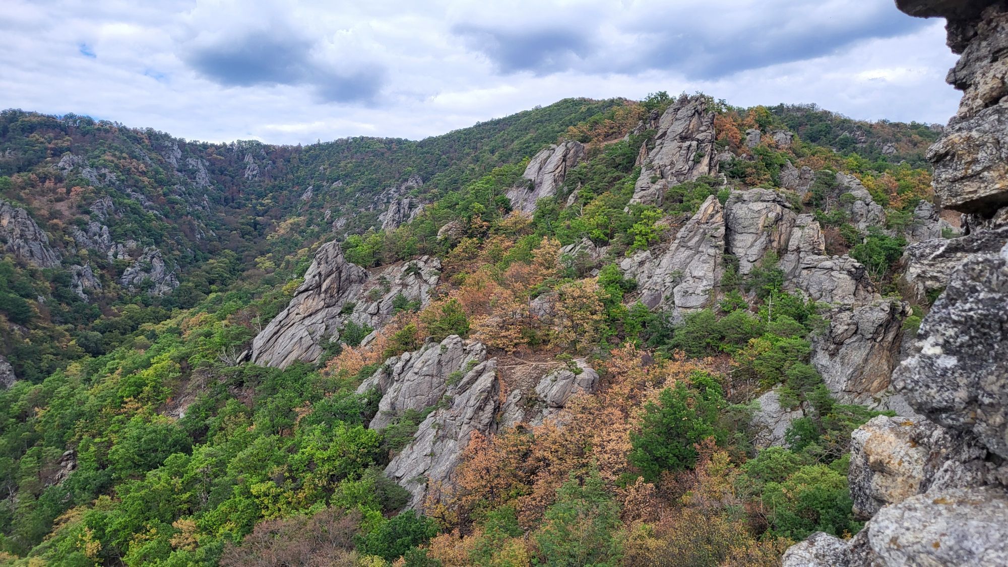
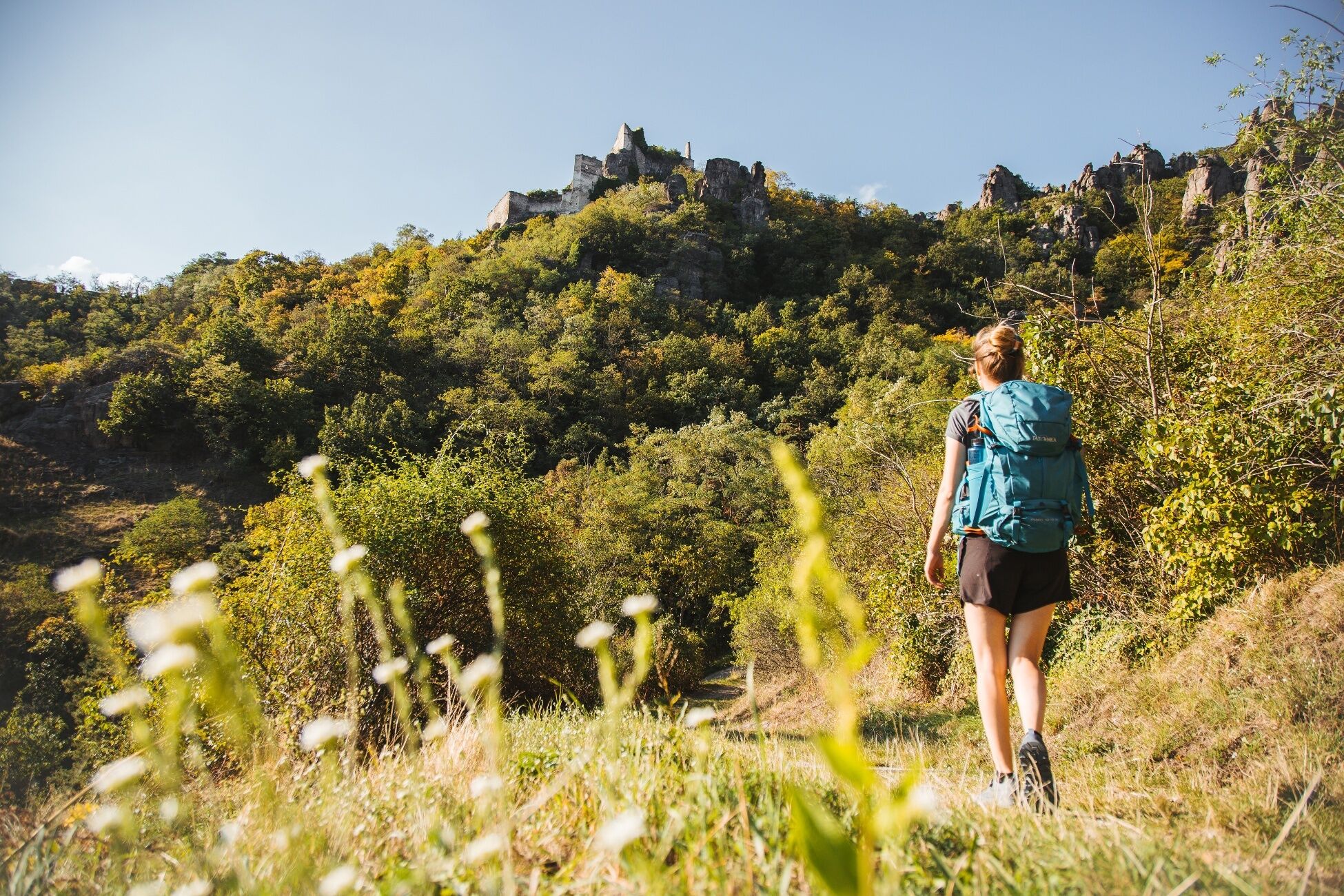
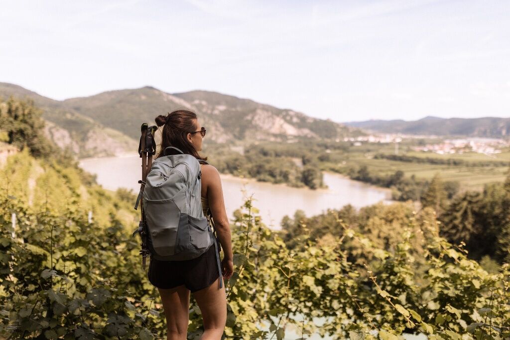
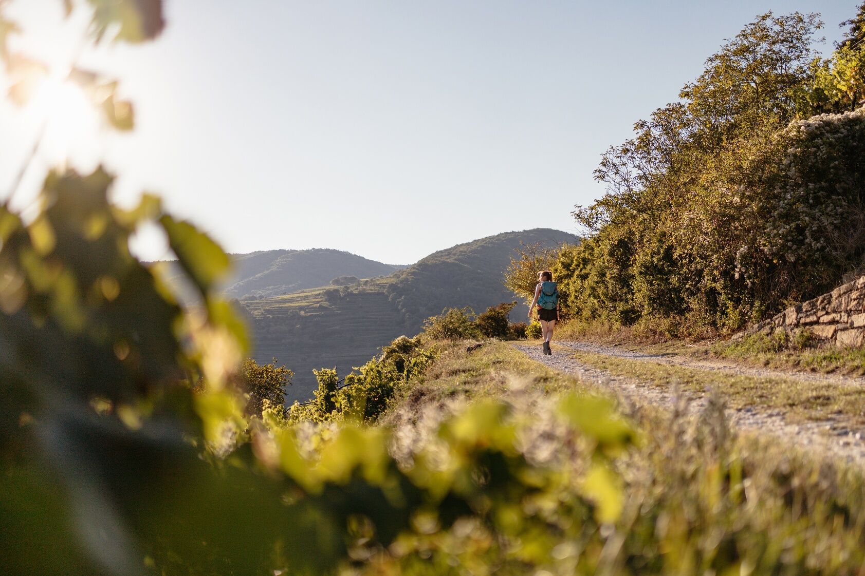
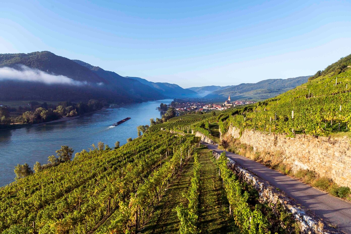
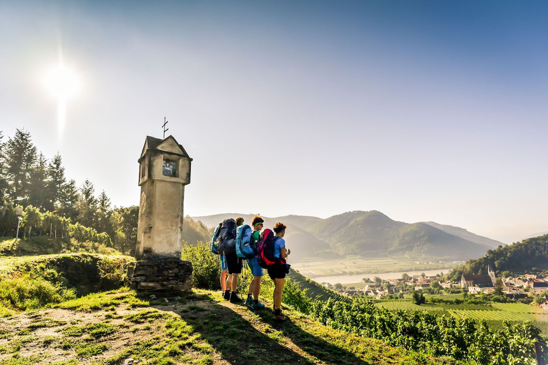
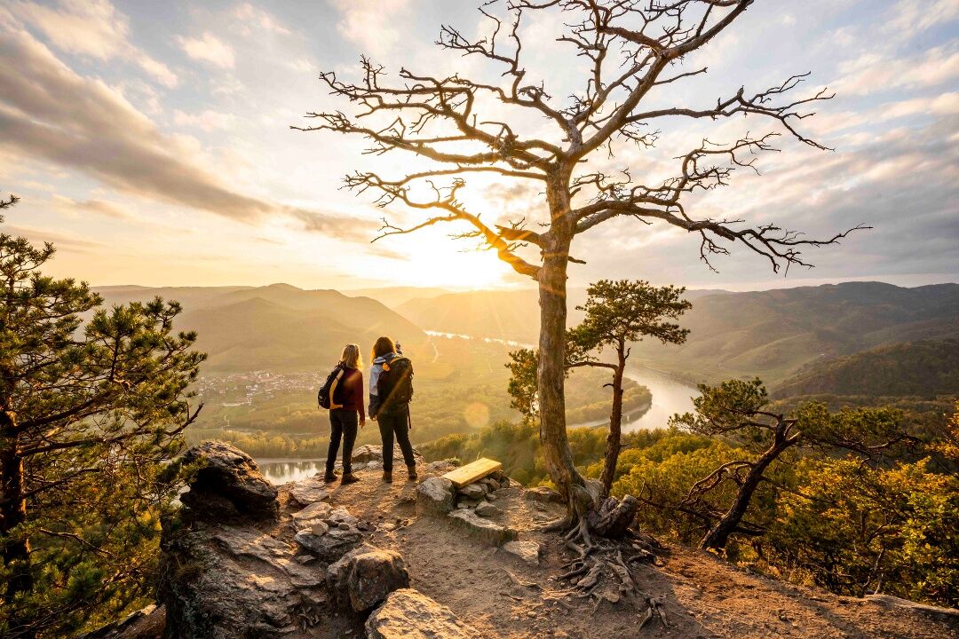
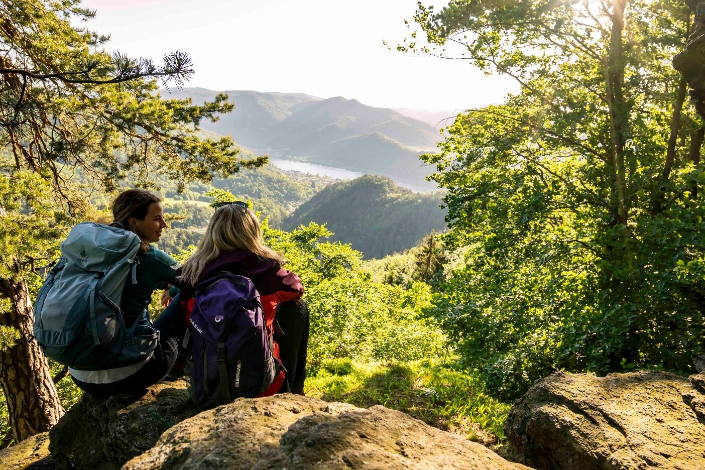
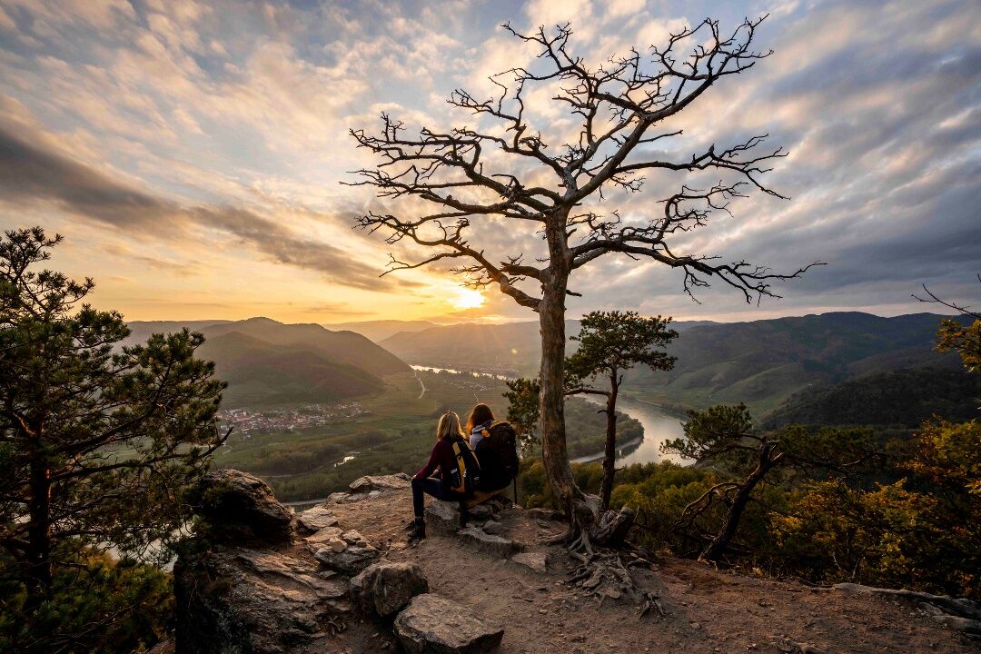
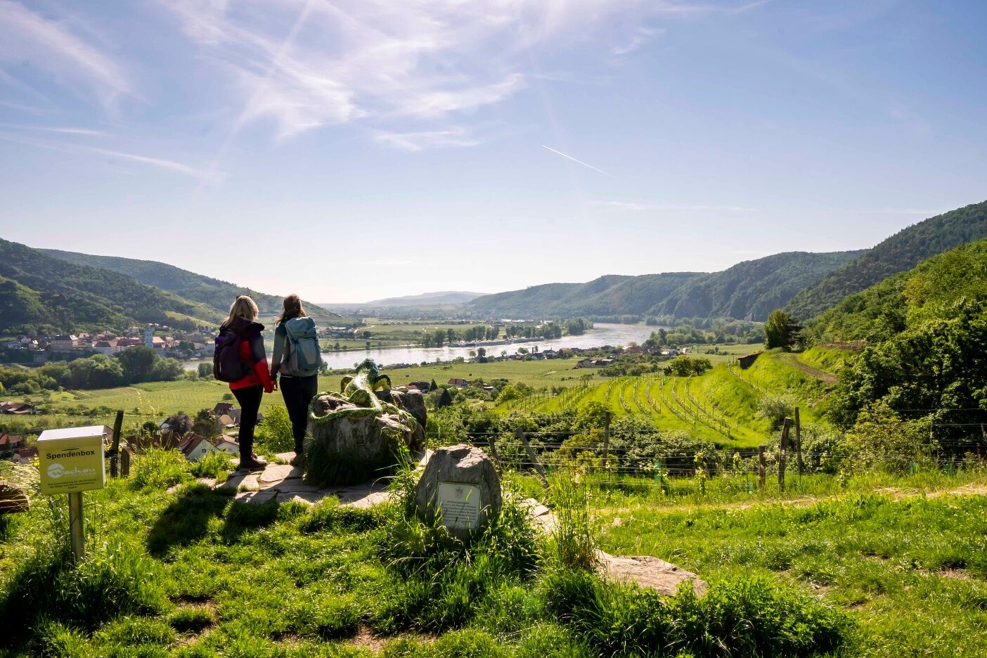
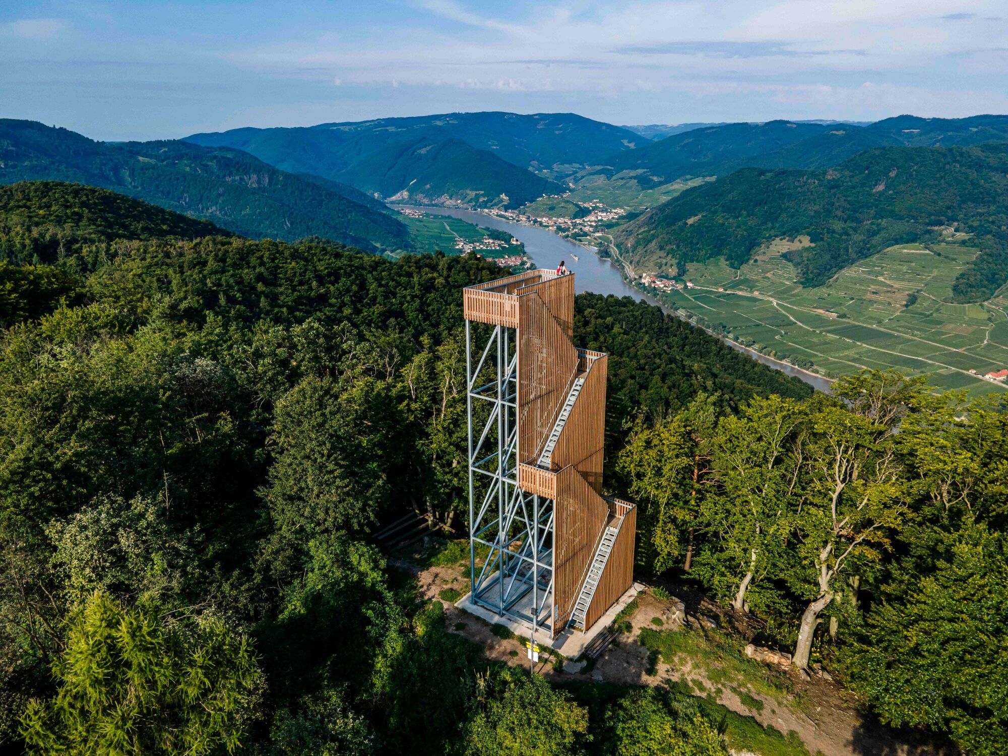
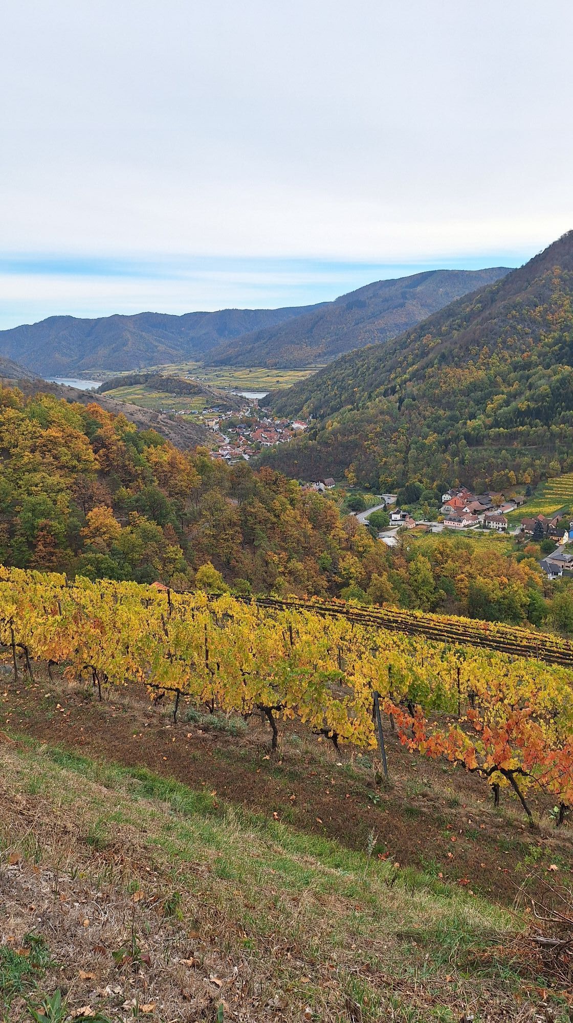
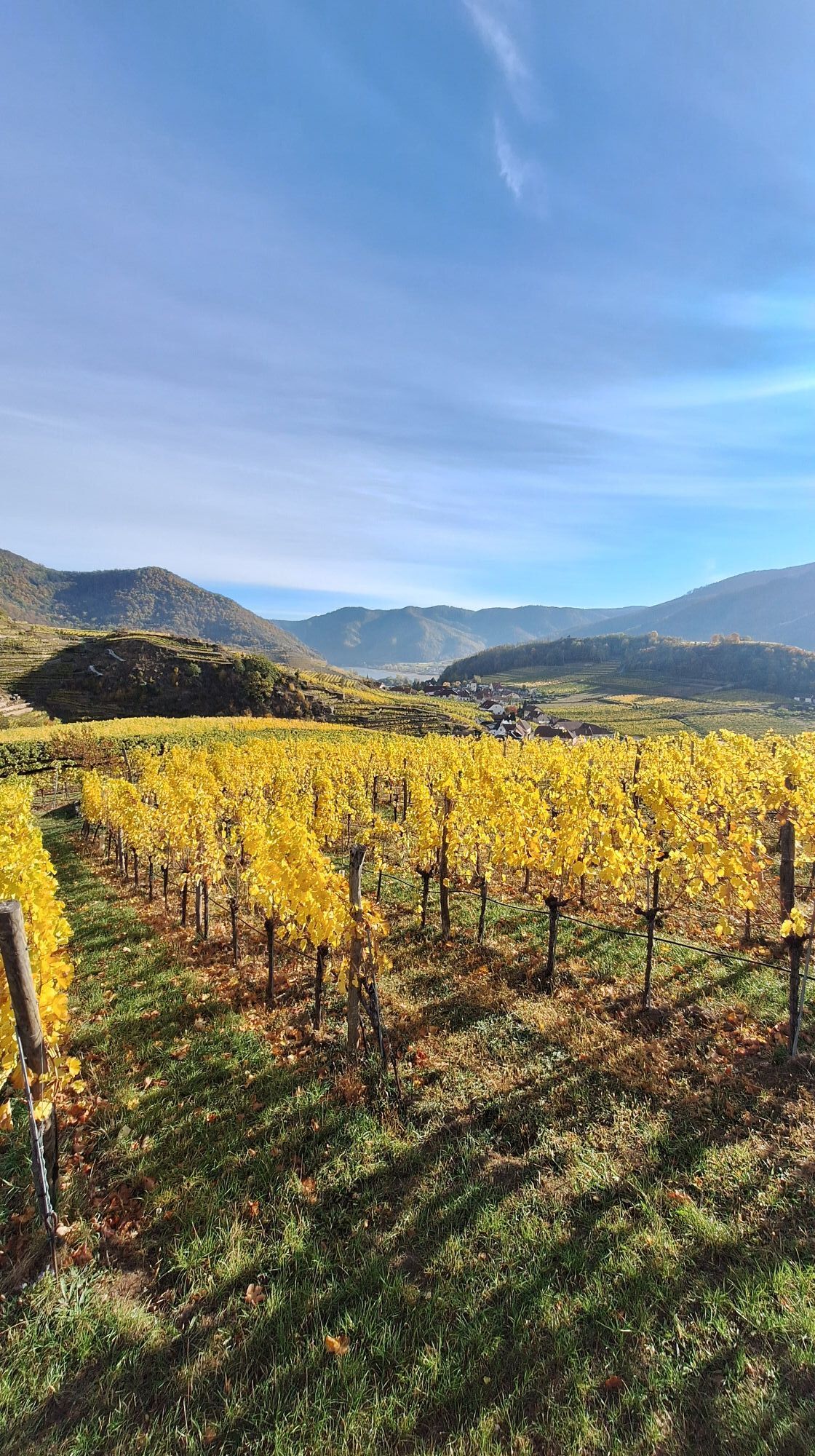
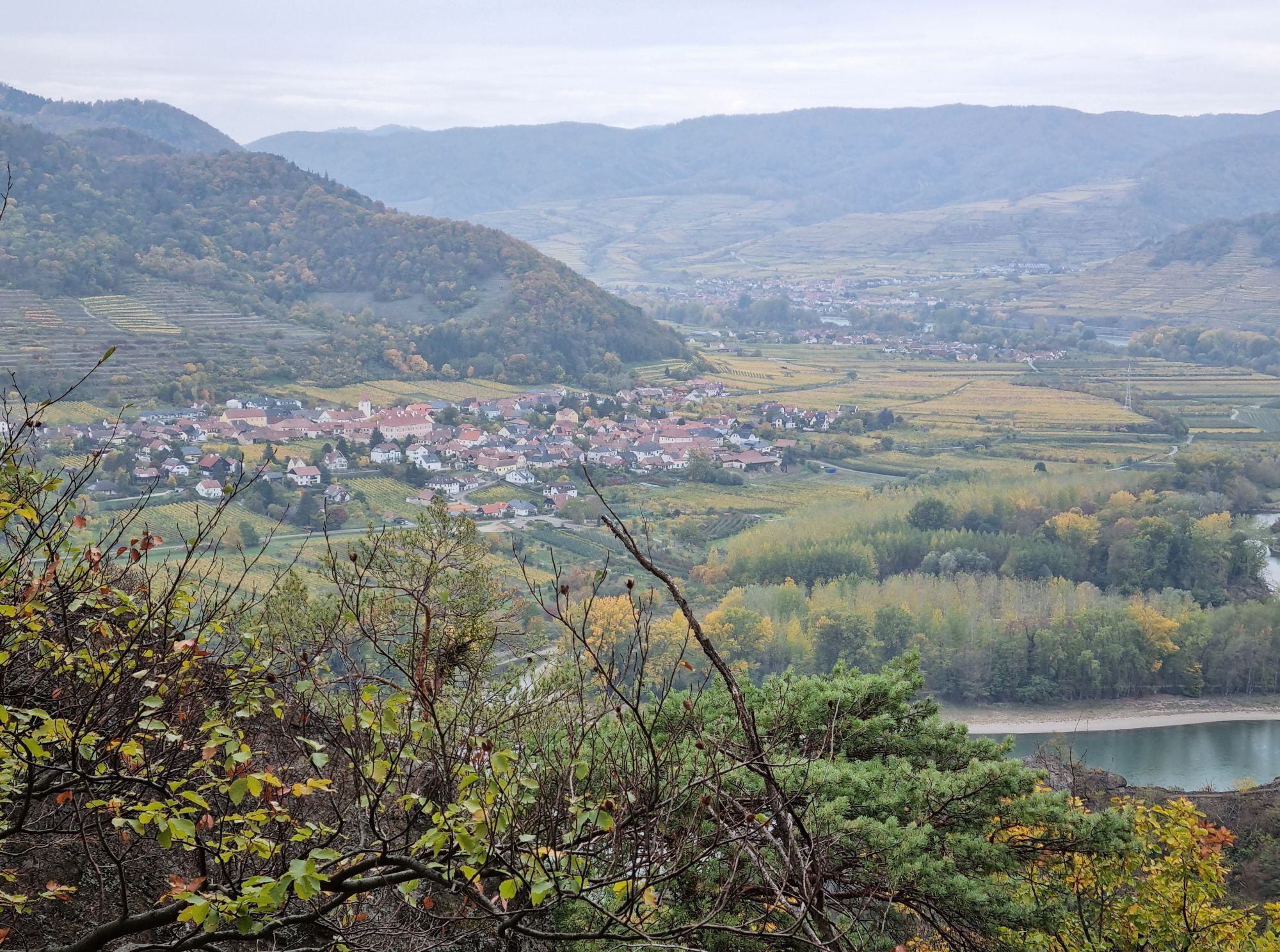
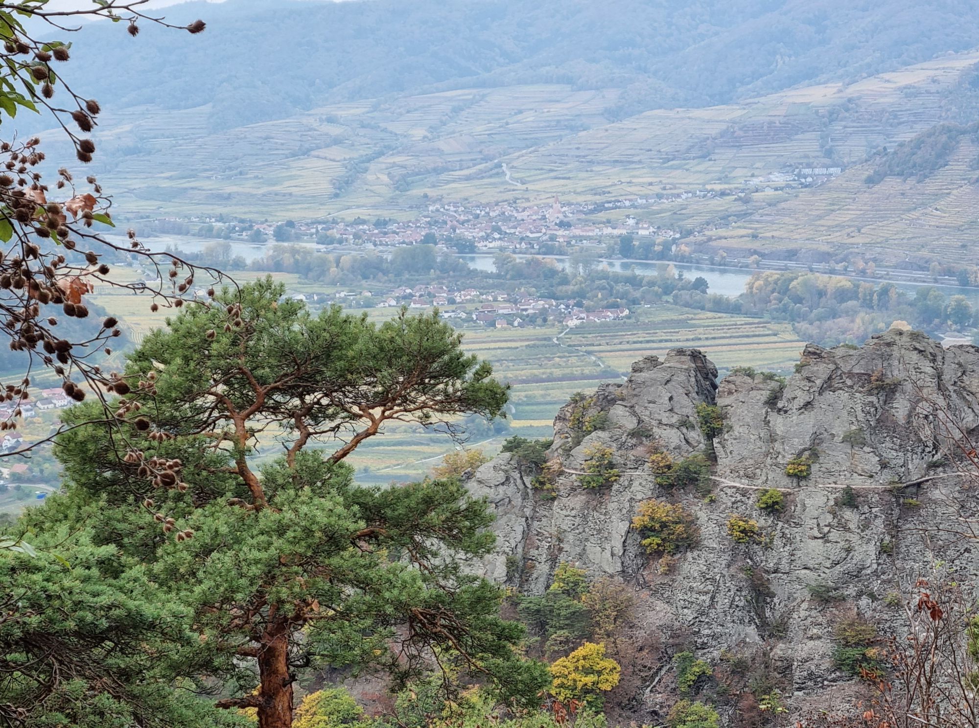
Relaxed and enjoyable long-distance hiking in the UNESCO World Heritage Wachau: The Wachau World Heritage Trail connects a unique cultural and natural landscape with rich history and regional culinary...
Opis

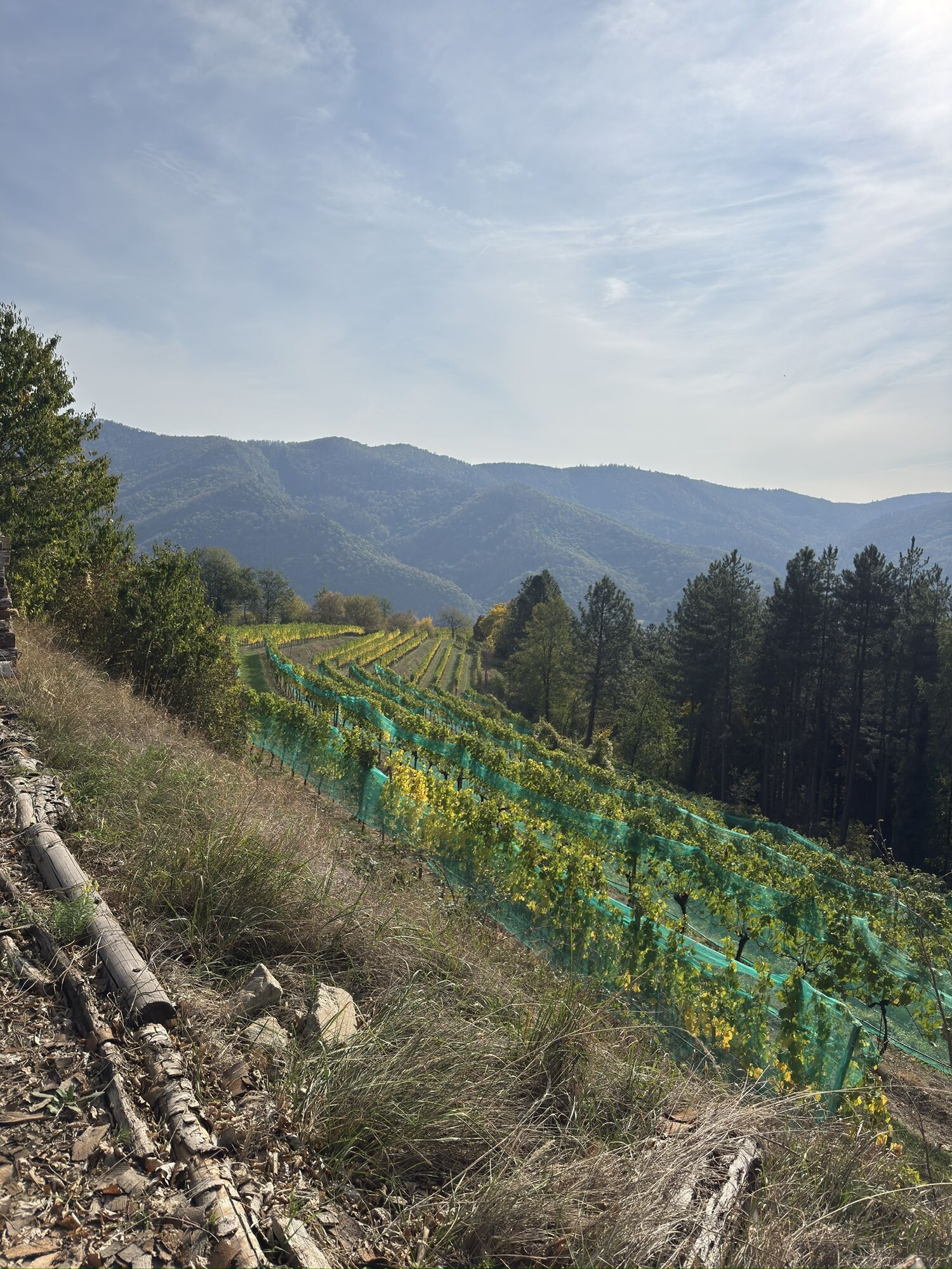
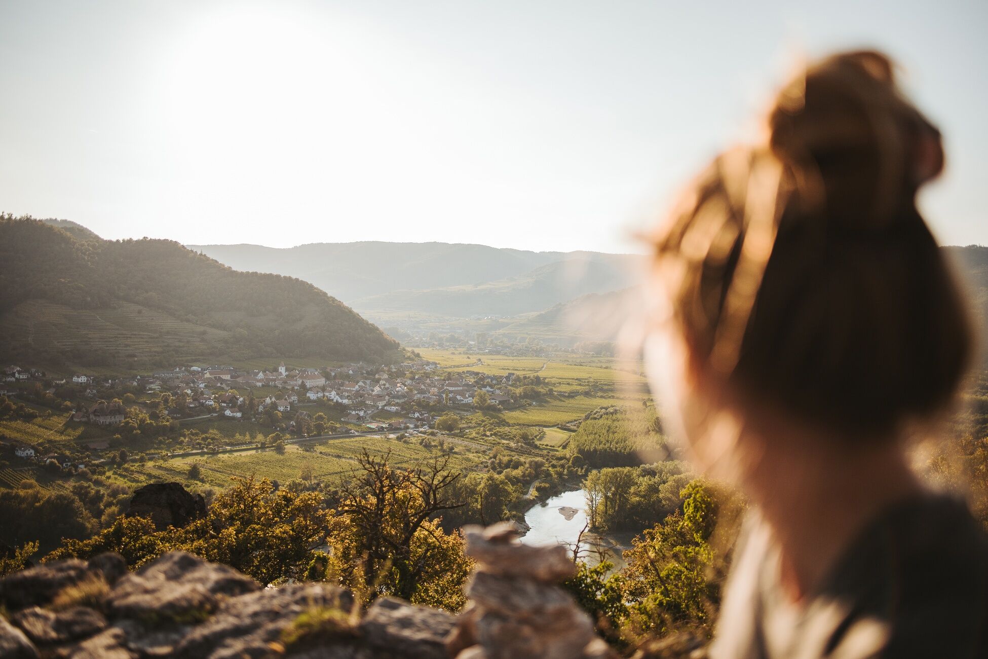
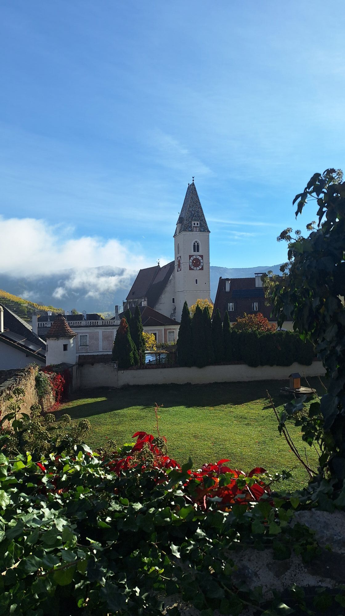
<p>Relaxed and enjoyable long-distance hiking in the UNESCO World Heritage Wachau: The Wachau World Heritage Trail connects a unique cultural and natural landscape with rich history and regional culinary delights over its 180 kilometers between Melk and Krems. Culture and landscape influence each other; rare natural habitats like dry grasslands and dry stone walls as well as the originally preserved towns and settlements are tangible signs of a long settlement history.</p><p>Nowhere else can the Danube be hiked more beautifully than on the 14 stages of the Wachau World Heritage Trail.</p><p>But the Wachau offers not only an impressive natural backdrop but also culinary specialties. After a hike through the vineyards, the typical Wachau wines can be tasted at a rustic wine tavern, a traditional inn, or in one of the excellent restaurants.</p><p>For a carefree all-around offer, including luggage transport, tastings, and transfers, it is advisable to book one of the versatile hiking packages.</p><p>Thanks to good train connections, relaxed and sustainable arrival in the Wachau is easy. In the region, a dense network of public transport ensures that all stages can be conveniently reached by bus, train, ferry, and ship. This also makes it very easy to combine different stages.</p>
Trasa
Trasa
Mapa
Wachau World Heritage Trail
ťažké
Turistika
178,92 km
Innenstadt
(200 m)
Susedstvo
0,0 km
Krems an der Donau
(199 m)
Mesto
0,0 km
Hochenstein
(202 m)
Susedstvo
0,1 km
Piaristenkirche
(223 m)
Miesto uctievania
0,2 km
Rebentor
(223 m)
Uhol pohľadu
4,2 km
Stein
(200 m)
Susedstvo
4,2 km
Förthof
(204 m)
Susedstvo
5,1 km
Förthofquelle
(233 m)
Zdroj
5,5 km
Rothenhof
(205 m)
Zúčtovanie
6,7 km
Süßenberg
(274 m)
Koridor/terén
8,2 km
Franzosendenkmal
(227 m)
Uhol pohľadu
10,1 km
Weinbergschnecke
(260 m)
Uhol pohľadu
11,5 km
Karner
(217 m)
Miesto uctievania
12,5 km
Kunigunden Kirche
(217 m)
Miesto uctievania
12,6 km
Dürnstein
(215 m)
Dedina
12,8 km
Schlossberg
(349 m)
Summit
13,2 km
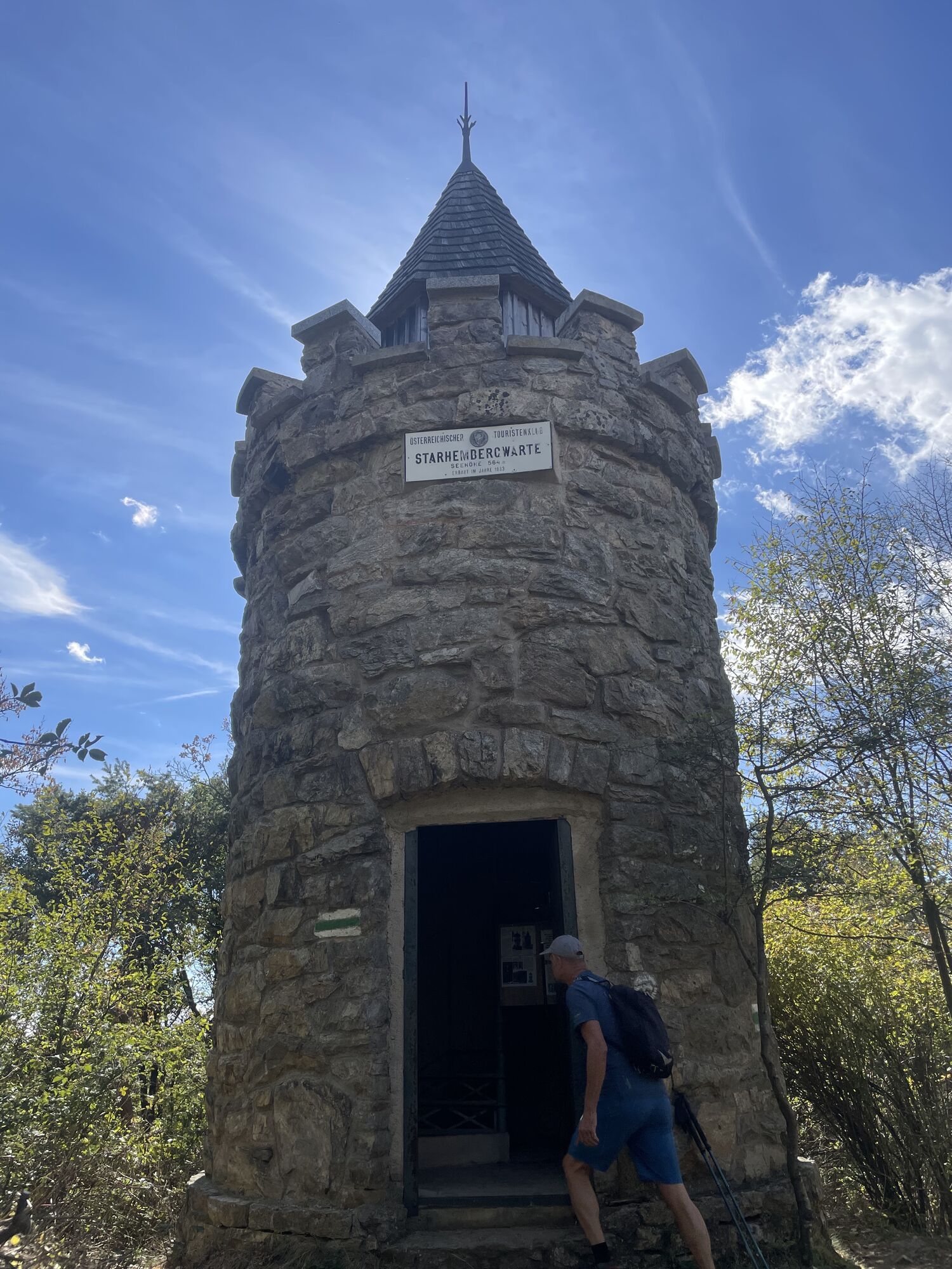
Starhembergwarte
(562 m)
Uhol pohľadu
14,4 km
Schlossberg
(559 m)
Summit
14,4 km
Fesslhütte
(525 m)
Reštaurácia
14,6 km
Tiefental
(462 m)
Koridor/terén
23,9 km
Schildhütten
(346 m)
Koridor/terén
25,3 km
Pomaßl
(348 m)
Reštaurácia
25,3 km
Felsentor
(320 m)
Vchod do jaskyne
28,0 km
Kienberger Olle
(257 m)
Uhol pohľadu
28,7 km
Pfarrkirche Weißenkirchen
(224 m)
Miesto uctievania
29,3 km
Weißenkirchen in der Wachau
(209 m)
Dedina
29,5 km
Bergwerkstollen
(386 m)
Vchod do jaskyne
37,5 km
Schacht
(390 m)
Vchod do jaskyne
37,5 km
ehem. Sondierstollen
(377 m)
Vchod do jaskyne
37,6 km
Pfarrkirche hl. Mauritius
(223 m)
Miesto uctievania
40,0 km
Burgberg
(314 m)
Summit
40,7 km
Spitz
(204 m)
Dedina
40,7 km
Quitten
(258 m)
Zúčtovanie
41,2 km
Radlbach
(248 m)
Zúčtovanie
41,3 km
Laaben
(236 m)
Zúčtovanie
42,5 km
Offenberg
(363 m)
Koridor/terén
43,7 km
Vießling
(293 m)
Dedina
45,9 km
Elsarn am Jauerling
(320 m)
Dedina
47,0 km
Muthstal
(384 m)
Zúčtovanie
48,2 km
Döpperl
(376 m)
Zúčtovanie
49,1 km
Gasthaus Busch
(388 m)
Reštaurácia
49,2 km
Niederranna
(389 m)
Zúčtovanie
49,2 km
Pfarrkirche hl. Margaretha
(398 m)
Miesto uctievania
49,3 km
Oberranna
(441 m)
Zúčtovanie
50,6 km
Unterranna
(378 m)
Zúčtovanie
50,8 km
Johannes-Feld
(394 m)
Susedstvo
51,3 km
Mühldorf
(358 m)
Dedina
51,7 km
Gasthof Weißes Rössl
(351 m)
Reštaurácia
51,8 km
Trenning
(628 m)
Summit
53,1 km
Thurn
(492 m)
Zúčtovanie
54,2 km
Franz-Josefs-Höhe
(951 m)
Horský priechod
57,2 km
Burgstock
(960 m)
Summit
58,3 km
Jaussenstation Aussichtswarte Jauerling
(959 m)
Reštaurácia
58,4 km
Zeißing
(592 m)
Zúčtovanie
62,4 km
Weinberg
(680 m)
Zúčtovanie
63,3 km
Maria Laach am Jauerling
(589 m)
Dedina
64,7 km
Gasthaus Grüner Baum, Restaurant Ringl
(589 m)
Reštaurácia
64,8 km
Gasthof Zur weißen Rose
(589 m)
Reštaurácia
64,8 km
Pfarrkirche Maria Laach
(590 m)
Miesto uctievania
64,9 km
Litzendorf
(565 m)
Zúčtovanie
66,1 km
Aggsbach Markt
(215 m)
Železničná stanica
71,6 km
Pfarrkirche Aggsbach Markt
(215 m)
Miesto uctievania
71,7 km
Gasthof Zum Kranz
(208 m)
Reštaurácia
72,1 km
Aggsbach Markt
(216 m)
Dedina
72,2 km
Glatzberg
(483 m)
Summit
73,7 km
Zintring
(493 m)
Zúčtovanie
77,3 km
Mödelsdorf
(394 m)
Zúčtovanie
84,0 km
Hl. Nikolaus
(240 m)
Miesto uctievania
86,7 km
Zum Schwarzen Bären
(215 m)
Reštaurácia
87,0 km
Emmersdorf an der Donau
(209 m)
Dedina
87,1 km
Magdalenenkapelle
(210 m)
Miesto uctievania
87,1 km
Hofamt
(225 m)
Zúčtovanie
87,5 km
Rantenberg
(354 m)
Zúčtovanie
89,6 km
Dachberg
(383 m)
Summit
90,3 km
Hain
(248 m)
Dedina
91,4 km
Luberegg
(211 m)
Zúčtovanie
91,8 km
Hafenstüberl Luberegg
(211 m)
Reštaurácia
92,1 km
Sankt Georgen
(247 m)
Dedina
92,1 km
Luftschutzstollen
(217 m)
Vchod do jaskyne
96,8 km
Melk
(213 m)
Mesto
97,8 km
Spielberg
(217 m)
Dedina
100,2 km
Pielachberg
(234 m)
Dedina
101,0 km
Lodge Szilágyi
(210 m)
Reštaurácia
104,7 km
Schönbühel an der Donau
(210 m)
Dedina
104,9 km
Jubelkapelle
(217 m)
Miesto uctievania
105,4 km
Berging
(330 m)
Zúčtovanie
106,6 km
Hohenwarther Höhe
(474 m)
Koridor/terén
108,9 km
Restaurant Residenz Wachau
(208 m)
Reštaurácia
113,0 km
Aggsbach-Dorf
(221 m)
Dedina
113,9 km
Domingo
(221 m)
Reštaurácia
114,3 km
Gasthof Lechner
(231 m)
Reštaurácia
114,5 km
Felsdach
(538 m)
Vchod do jaskyne
119,1 km
Maria Langegg
(500 m)
Dedina
122,3 km
Buchental
(362 m)
Koridor/terén
127,6 km
Rollfähre Spitz Arnsdorf
(198 m)
Prístavisko trajektu
128,9 km
Hofarnsdorf
(211 m)
Dedina
129,8 km
Pfarrkirche hl. Rupert
(206 m)
Miesto uctievania
129,9 km
Filialkirche hl. Katharina
(206 m)
Miesto uctievania
130,5 km
Mitterarnsdorf
(212 m)
Dedina
130,9 km
Bacharnsdorf
(208 m)
Dedina
131,6 km
Herrnplatzl
(622 m)
Koridor/terén
138,2 km
Seekopf
(671 m)
Summit
139,9 km
Seekopfwarte
(670 m)
Uhol pohľadu
140,0 km
Hirschwand
(625 m)
Summit
140,7 km
Fahnenwand
(382 m)
Summit
142,9 km
Pfarrkirche Hl. Jakob d. Ä
(224 m)
Miesto uctievania
147,1 km
Rossatz
(216 m)
Dedina
147,2 km
Dürnstein
(215 m)
Dedina
148,1 km
Rossatzbach
(203 m)
Dedina
148,8 km
Pemexel
(506 m)
Summit
152,5 km
Unterbergern
(295 m)
Dedina
161,3 km
Pfarrkirche hl. Johannes Nepomuk
(304 m)
Miesto uctievania
161,3 km
Heuriger Fries
(321 m)
Reštaurácia
161,8 km
Baumgarten
(282 m)
Dedina
164,8 km
Steinaweg
(227 m)
Dedina
166,8 km
Winzerhof Ramoser
(228 m)
Reštaurácia
167,0 km
Hals
(297 m)
Summit
167,5 km
Klein-Wien
(241 m)
Dedina
168,3 km
Furth bei Göttweig
(212 m)
Dedina
170,0 km
Pfarrkirche Furth bei Göttweig
(213 m)
Miesto uctievania
170,3 km
Weingut Franz Löffler
(212 m)
Reštaurácia
170,4 km
Weinbau Teufner
(223 m)
Reštaurácia
170,9 km
Mautern an der Donau
(202 m)
Dedina
174,4 km
Pfarrkirche St. Stefan
(201 m)
Miesto uctievania
174,9 km
Förthof
(204 m)
Susedstvo
176,1 km
Stein
(200 m)
Susedstvo
176,8 km
Frauenbergkirche
(219 m)
Miesto uctievania
176,9 km
Pfarrkirche hl. Nikolaus
(199 m)
Miesto uctievania
176,9 km
Alte Klosterkirche der Justizanstalt Stein
(199 m)
Miesto uctievania
177,6 km
Und
(198 m)
Susedstvo
177,8 km
Krems an der Donau
(199 m)
Mesto
178,5 km
Rumänisch-Orthodoxe Gemeinde Krems
(199 m)
Miesto uctievania
178,6 km
Innenstadt
(200 m)
Susedstvo
178,7 km
Informácie o prehliadke

<p>What connects the banks</p>

Technológia
n.a.
Stav
6 / 6
Krajina
1 / 6
Skúsenosti
n.a.
Najlepšie ročné obdobie
Jan
Feb
Mar
Apr
Máj
Jún
Júl
Aug
Sep
Okt
Nov
Dec
Autor
Poskytuje noe-tourismus
Vytvorené dňa 03. decembra 2025
1 227 Hovory
Logo
Zdieľať prehliadku
Mapa
Wachau World Heritage Trail
ťažké
Turistika
178,92 km
Chyba
Vyskytla sa chyba. Prosím, skúste to znova.
Zariadenie

<p>We recommend the following equipment:</p><p>Hiking boots</p><p>Backpack</p><p>Weatherproof clothing (e.g. rain gear)</p><p>Headwear</p><p>Sun protection</p><p>Adequate provisions (water, snack)</p><p>Wachau hiking map and/or mobile tour planner</p>

Bezpečnostné pokyny

<p>Please observe the following tips and notes to make your hiking holiday a pleasant experience:</p><p>Stay on the marked paths and wear mountain/hiking boots.</p><p>Please do not leave your rubbish on the path.</p><p>Carry enough provisions (water/snack) with you.</p><p>Take the hiking map with you or use the free hiking app.</p><p>Respect the sensitive habitats of plant and animal life.</p>
Informácie o príchode
Príchod

<p>From Vienna via the A22 and S5 to Krems, then on the B3 along the north bank through the Wachau to the towns along the Danube.</p><p>From the A1 West motorway from St. Pölten via the S33 to Krems, optionally continue on the B3 along the north bank of the Wachau or over the Mautern Danube bridge to the south side on the B33 to Melk to the towns along the Danube.</p><p>A1 West motorway to Melk exit and along the B33 along the south bank to Mautern, A1 West motorway to Melk, switch to the north bank at the Danube bridge and on the B3 through the Wachau to the chosen starting point at Krems.</p>

Verejná doprava

<p>Thanks to good train connections, relaxed and sustainable arrival in the Wachau is easy. In the region, a dense network of public transport ensures that all stages can be conveniently reached by bus, train, ferry, and ship.</p><p>From Vienna (Franz Josef Station) to Krems: travel time approx. 1 hour (continue with the regional VOR bus lines 720 or 715)<br />From St. Pölten (Westbahn) to Krems: travel time approx. 30-45 minutes</p><p>From Linz: Westbahn to St. Pölten, continue by regional train to Krems or Westbahn to Melk (continue with the regional VOR bus lines 720 or 715).</p><p><a href="www.oebb.at/de/fahrplan">ÖBB timetable query</a></p><p><a href="www.vor.at/fahrplan-mobilitaet/fahrpl... East Region public transport timetable query</a></p><p><a href="westbahn.at/fahrplan/">Westbahn timetable</a></p>

Parkovanie

<p>In the parking garages of Krems city center. Please note the paid short-term parking system with zones in the city centers of Krems and Stein. More information can be found on the homepage of the city of Krems www.krems.gv.at</p><p>In Melk at the Danube shore near the ship stations, in all other places on public parking areas.</p>

Ďalšie informácie a tipy
Ďalšie informácie

All information about the stages can be found at www.welterbesteig.at The Wachau hiking map can be requested free of charge from Donau NÖ Tourismus GmbH by phone at 02713-30060-60 or downloaded from the brochure shop at www.donau.com/prospekte.

Tipy

Plan sufficient time to visit the worthwhile excursion destinations in the region, e.g. the Kunstmeile Krems with the Lower Austria State Gallery, Melk Abbey and Göttweig Abbey.

Zatiaľ žiadne recenzie
Napíšte recenziu

Recenzie pomáhajú ostatným používateľom vybrať si ďalšie dobrodružstvo. Prosím, hodnoťte len prehliadku, nie počasie alebo občerstvenie.

Vyberte jednu z hviezdičiek a ohodnoťte prehliadku
Zlé turné
Slabé turné
Priemerné turné
Dobrá prehliadka
Vynikajúca prehliadka
Turistika a stopovanie

Turistika a stopovanie

Turistika a stopovanie
Viac ako 550.000 návrhov výletov, podrobné mapy a intuitívny plánovač trás robia z aplikácie povinnú výbavu pre všetkých nadšencov prírody.
bergfex