







Drei Berge Weg Böheimkirchen
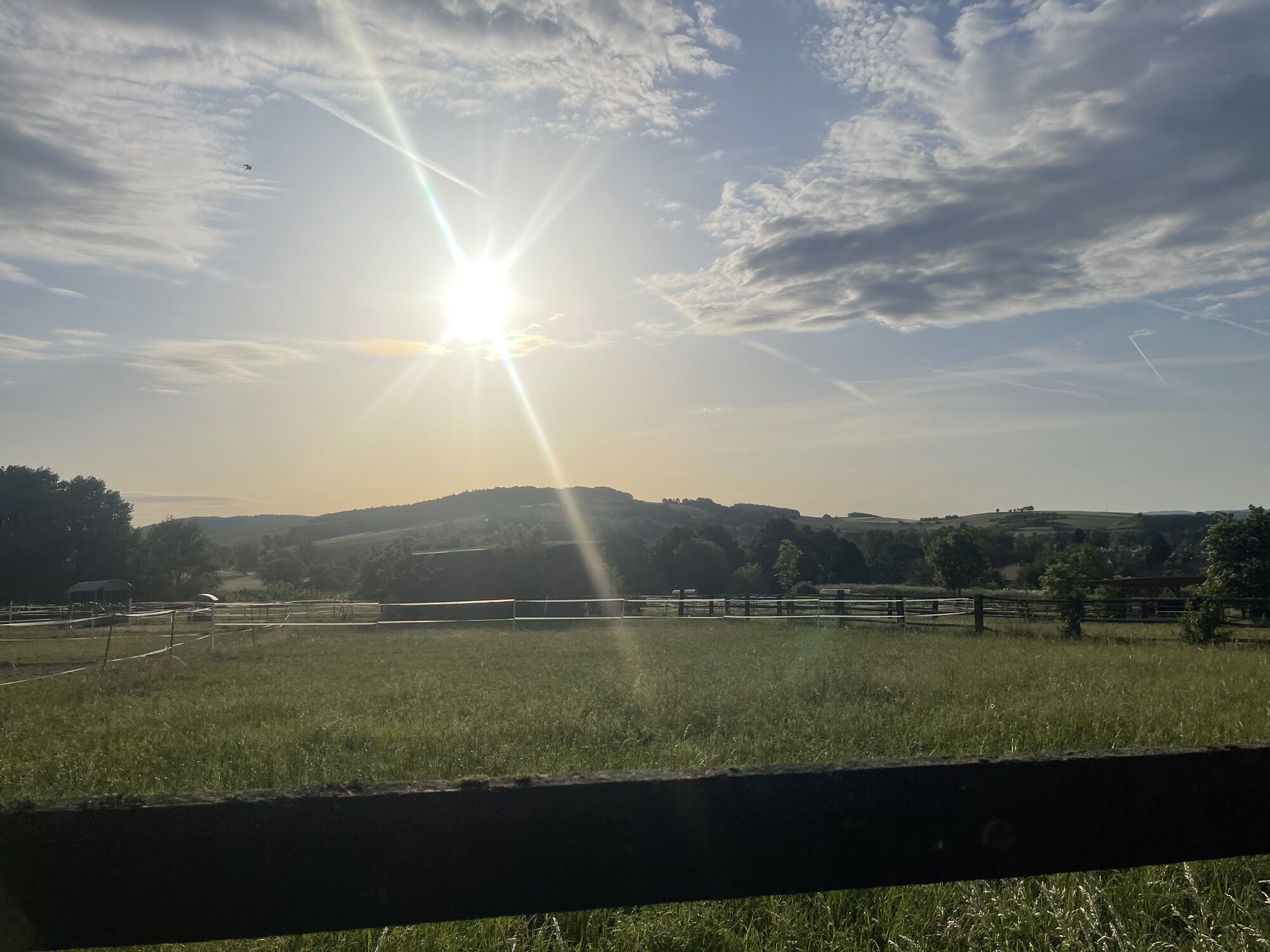
The 3 mountains trail shows the versatility of Böheimkirchen. The tour starts at the park, with its impressive avenue and a monument commemorating the 1000th anniversary of the first documentary mention...
The 3 mountains trail shows the versatility of Böheimkirchen. The tour starts at the park, with its impressive avenue and a monument commemorating the 1000th anniversary of the first documentary mention in 985. Those interested in history can read up on Böheimkirchen's key historical dates here. Then it's over the hill between Michelbach and Perschling. Here, finds from the Neolithic period point to thousands of years of settlement in the area. From the station, you have a wonderful panoramic view of the municipality. The Westbahn has connected Böheimkirchen with Vienna since 1858. The route then continues over 3 mountains. The first is the Schildberg (331m), at the summit of which a contemplative rest offers tired hikers relaxation. The route continues over the Kollersberg (354m) and its foothills, the Plattenberg. The near-natural forests on these foothills of the Alps consist mainly of beech, oak and spruce. If you are lucky, you may come across tree frogs, toads or fire salamanders. The second half of the tour is completely different. After passing through the village of Mechters, the route continues through the intensively farmed agricultural landscape. A detour to the ruins of St. Cäcilia is also possible. It was probably devastated by Napoleonic troops in 1809. Since then it has been left to decay; a mighty oak tree has already grown in the middle of the nave. The last few kilometers are along the banks of the Perschling, which you can stroll along in the direction of flow.


The tour begins at the entrance to Böheimkirchen Park, near several restaurants and bars. You start heading south along Parkallee, passing the monument marked “1000 Years of Böheimkirchen.” You’ll pass a large children’s playground, after which you’ll need to turn right and head uphill. From here, follow the green trail markers. Walk past the elementary school, turn left onto Florianigasse, and then right over a bridge across the Perschling into Wolfberggasse. Continue along Obere Hauptstraße and Bahnhofstraße until you reach the train station. From here, follow the red trail markers toward Pottenbrunn, which lead along Bahnhofstraße and Bahnweg onto a farm road. Then follow the markers to the left and pass under the Westbahn railway line. From here on, the trail goes uphill. After about 500 meters, the trail turns into the forest. You’ll come to two small ponds, where you must turn right. Now the ascent up the Schildberg begins. You’ll reach the highest point of the hike (330 m) after about one kilometer at a resting area with many crosses nailed into a tree. Continue along narrow trails and through a clearing for about 1,200 meters until you reach a junction. From here, follow the blue trail markers toward Mechters. Head downhill through the forest on the Kollersberg (354 m), and you’ll then reach the Plattenberg. On the Plattenberg, the trail climbs briefly once more before reaching the village of Mechters at its base. The blue trail markers end at the bus stop in the village center. Continue left on the main street toward the east, passing the Pfeffermühle inn. At the end of Mechters, turn left and join the Voralpenradweg No. 1; follow this route, turning left as you go, until the end of the tour. The path remains flat throughout, with a view of the Kollersberg. The gravel path meets a road; follow the markers to the right, then to the left. At the second intersection, you can take a detour south toward the ruins of St. Cäcilia. You’ll reach the village of Untertiefenbach; turn right in the village center, cross the Perschling River, and then turn left immediately. Now you’ll hike along the stream on flat gravel paths at a leisurely pace, with plenty of places to sit; near the settlement of Gemersdorf, you’ll have to cross another bridge. Toward the end of the trail, in Böheimkirchen, you’ll pass under the Westbahn railway line once more and, in a sparsely populated area, reach the first bridge over the Perschling again, from which you’ll walk back to the starting point.
Standard Hiking Gear
A1 highway, take the Böheimkirchen exit, then follow signs for Böheimkirchen
Free short-term parking zone (Mon–Fri, Sat mornings); alternatively: parking lot at the Böheimkirchen School Complex
Mostviertel Tourism
3250 Wieselburg, Adalbert-Stifter-Straße 4
Tel. 07416/521 91
Fax 07416/530 87
Elsbeere-Wienerwald Region
3040 Neulengbach, Kirchenplatz 82
Tel. 02772/524 84
Market Town of Böheimkirchen
3071 Böheimkirchen, Marktplatz 2
Tel. 02743/2318
Fax. 02743/2318 13
buergerservice@boeheimkirchen.gv.at
www.boeheimkirchen.eu
 Získajte prehľad
Vždy naživo na mieste s viac ako 9 500 webovými kamerami. bergfex Ako používateľ Pro si teraz môžete pozrieť príslušné webové kamery pre mnohé zájazdy v aplikácii zájazdy z. Môžete si tak priamo prezerať aktuálne podmienky.
Získajte prehľad
Vždy naživo na mieste s viac ako 9 500 webovými kamerami. bergfex Ako používateľ Pro si teraz môžete pozrieť príslušné webové kamery pre mnohé zájazdy v aplikácii zájazdy z. Môžete si tak priamo prezerať aktuálne podmienky.
Obľúbené výlety v okolí
-
4,5
Rundweg Ochsenburgerhütte
svetloTuristika 7,60 km -
4,4
Hegerberg
svetloTuristika 8,06 km -
4,7
Rudolfshöhe drei Galgenweg Wilhelmsburg, Österreich
svetloTuristika 8,04 km -
4,3
Ochsenburger Hütte / Rudolfshöhe
svetloTuristika 6,10 km -
4,4
MICHELBACH Kukubauerhütte Volkssternwarte 20200116
svetloTuristika 11,8 km -
4,2
Drei-Seen-Runde St. Pölten
svetloTuristika 5,02 km -
4,5
Laabner Elsbeerwege - Variante 2
strednáTuristika 7,98 km -
4,9
Traisental MTB Potpourri
strednáMountainbike 27,9 km -
4,2
Von Wilhelmsburg an der Traisen auf die Ochsenburger Hütte (Juli 2023)
svetloTuristika 9,72 km -
4,8
Rund um Kreisbach - Angelos Touren
svetloTuristika 15,0 km
Turistika a stopovanie


Nenechajte si ujsť ponuky a inšpiráciu na ďalšiu dovolenku
Vaša e-mailová adresa bol pridaný do poštového zoznamu.





